bobspirko.ca | Home | Canada Trips | US Trips | Hiking | Snowshoeing | MAP | About
Kelly Canyon
Caribou-Targhee National Forest, Idaho
September 9, 2023
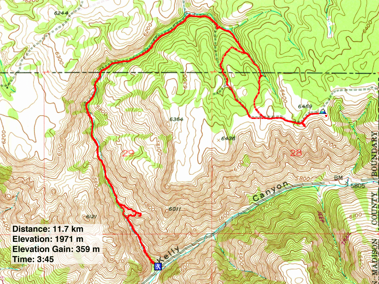
Distance: 11.7 km (7.3 mi)
Cumulative Elevation Gain: 400 m (1312 ft)
Idaho Falls isn't near many hikes; most are at least an hour and a half away. So after a few long drives from our hotel in the city, we welcomed the 40-minute drive to Kelly Canyon Trail. The trail offers interesting sights as it winds its way up the canyon. Although the trail ends abruptly in the forest, short of any far-ranging views, you can catch trails that go farther and higher. We chose to climb the highest hill in the area.
Framed by cliffs, the trailhead looks like the start of a rocky canyon. Dinah and I set off up the path. The first few hundred metres were remarkable for two things: the trail ran through tunnels of vegetation, and it kept crossing a stream. Eventually, the trees and bushes eased their grip on the trail and the stream disappeared. In a short time, we were looking up at the cliffs and steep slopes that line the canyon.
We continued up the canyon and passed through two cattle gates. The trail ends at an intersection, but we went straight ahead, up an old road through the forest. Eventually we emerged from the trees and we continued up a road lined with scrub. The road runs over the broad summit that is half covered in forest. We had a good view of Kelly Mountain but not much else. We soon headed back down.
We followed Kelly Canyon Trail until a rocky outcrop came into sight. This must be Canyon's Crown, the rock formation described in Outbound. Dinah stayed on the trail while I made my way to the little point. It took me 10 minutes to climb 60 m to the top. The tiny, airy summit offered a fine view of Kelly Canyon. After looking around, I dropped almost straight down to the trail and caught up with Dinah. We finished our hike feeling we found the best features of Kelly Canyon Trail.
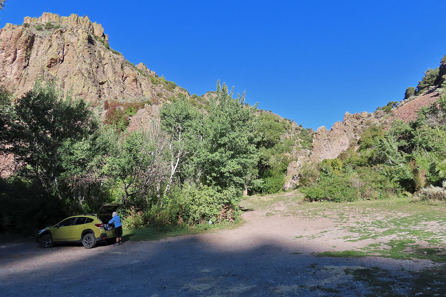
There's ample parking at the trailhead
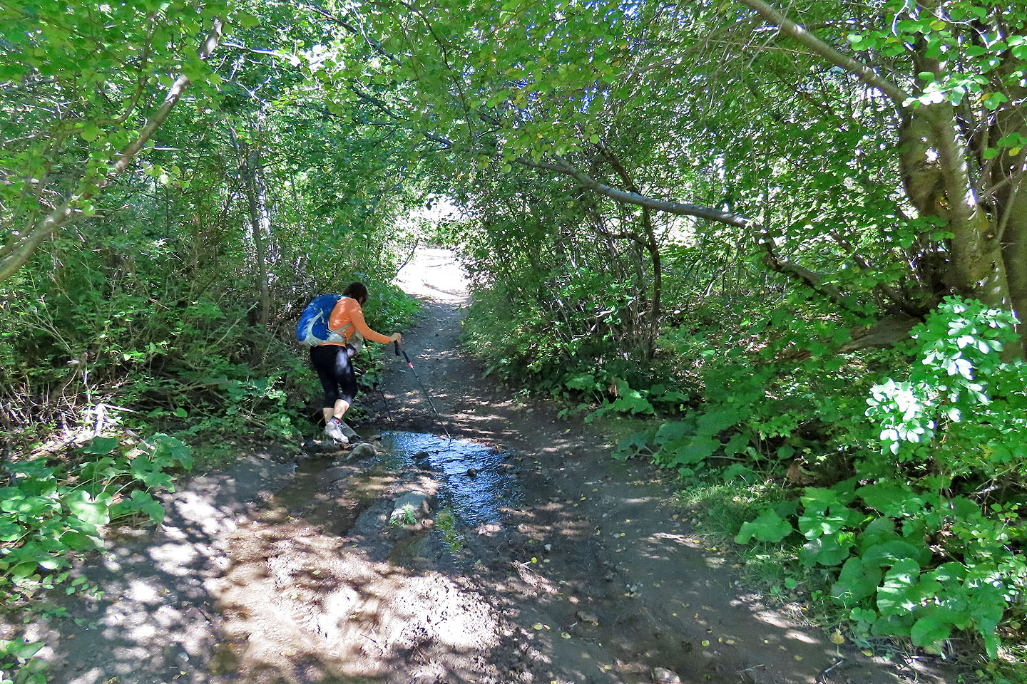
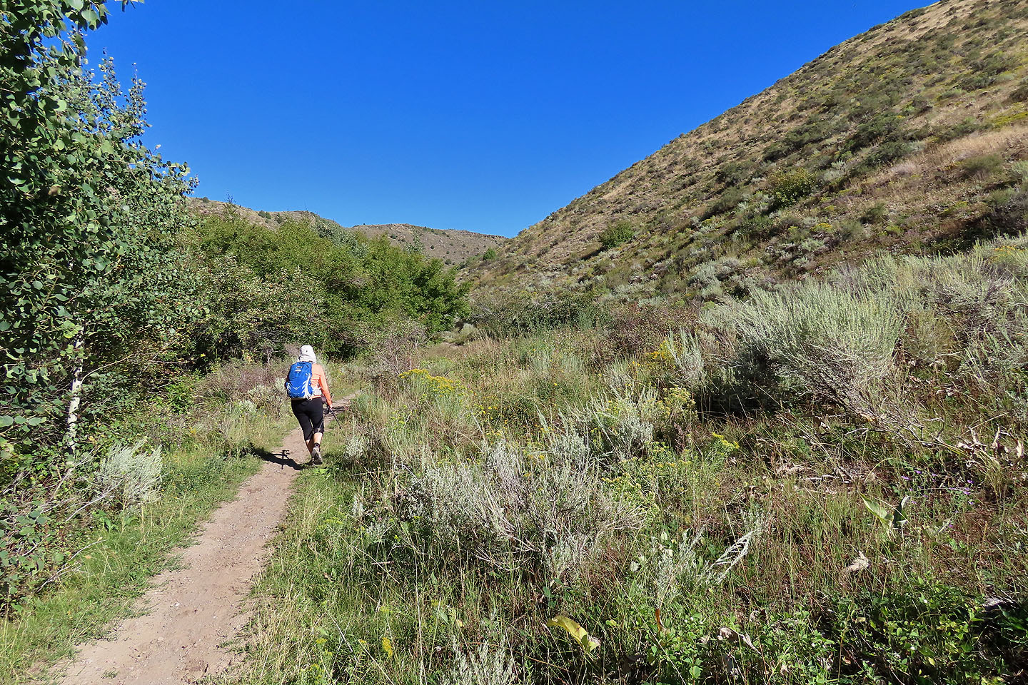
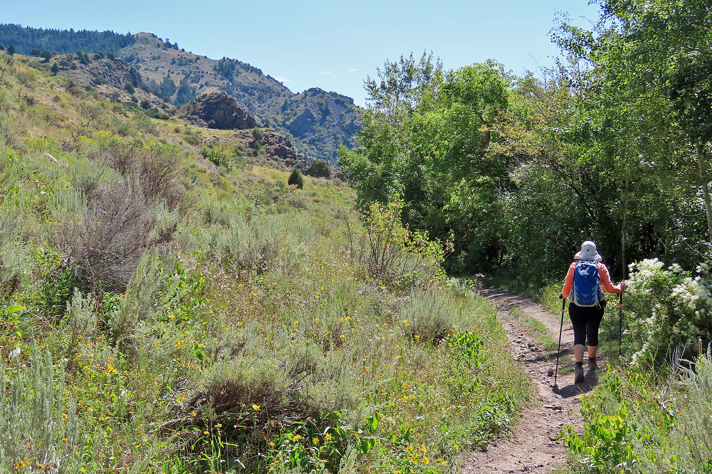
The start is shady, wet and muddy in places
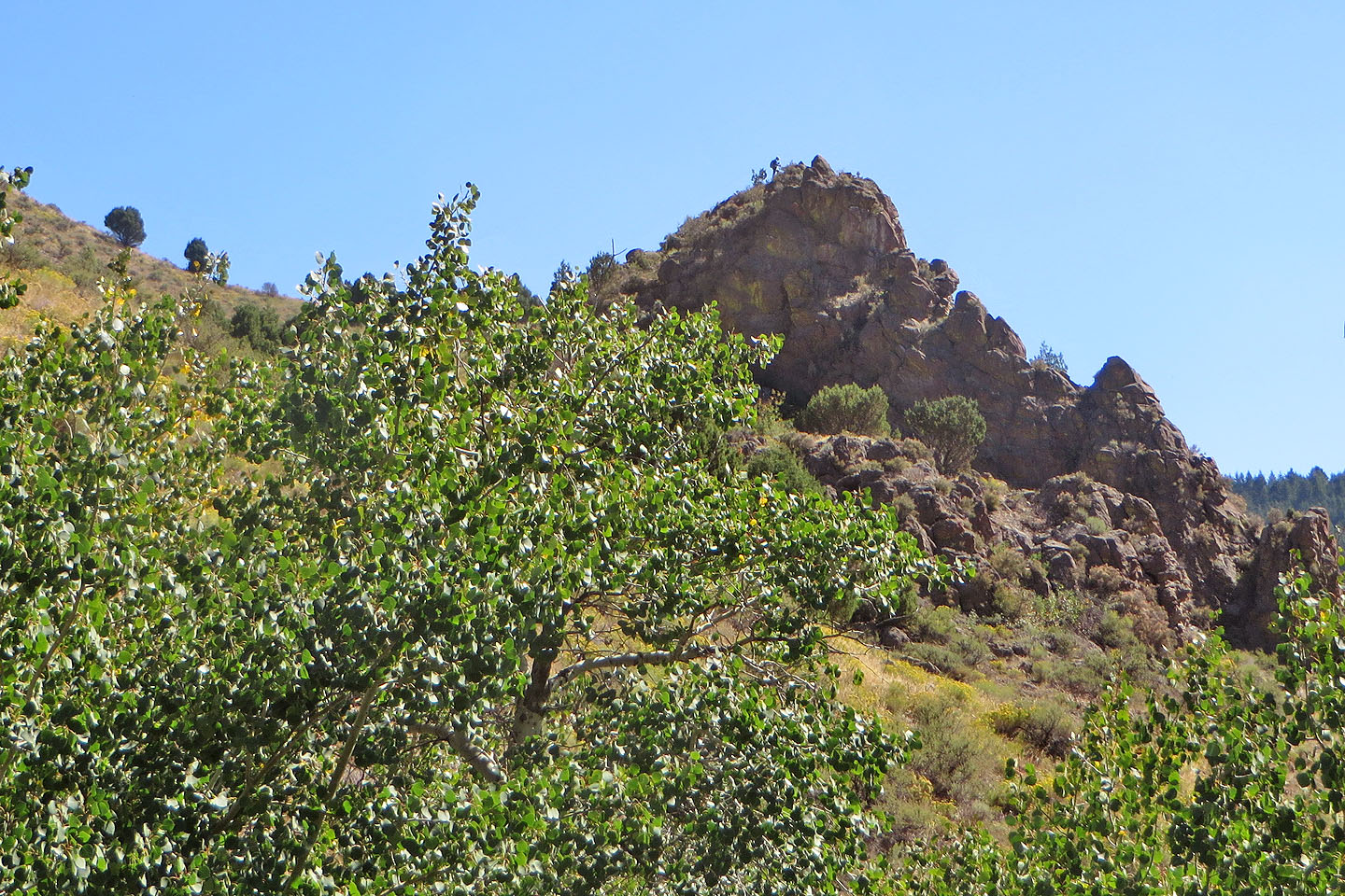
 Canyon's Crown appears on the right
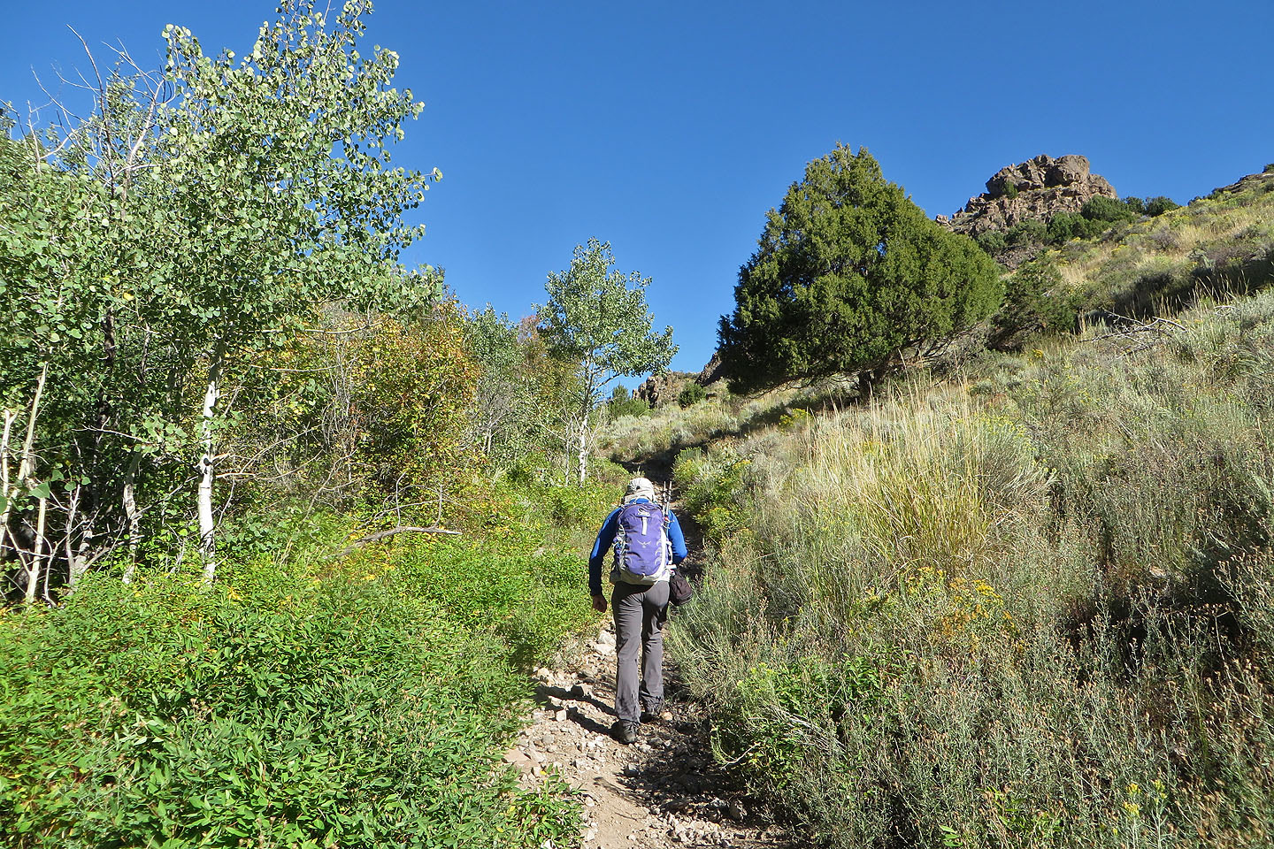
 Eventually the cliffs disappeared and we continued up the canyon as it passed through trees and clearings
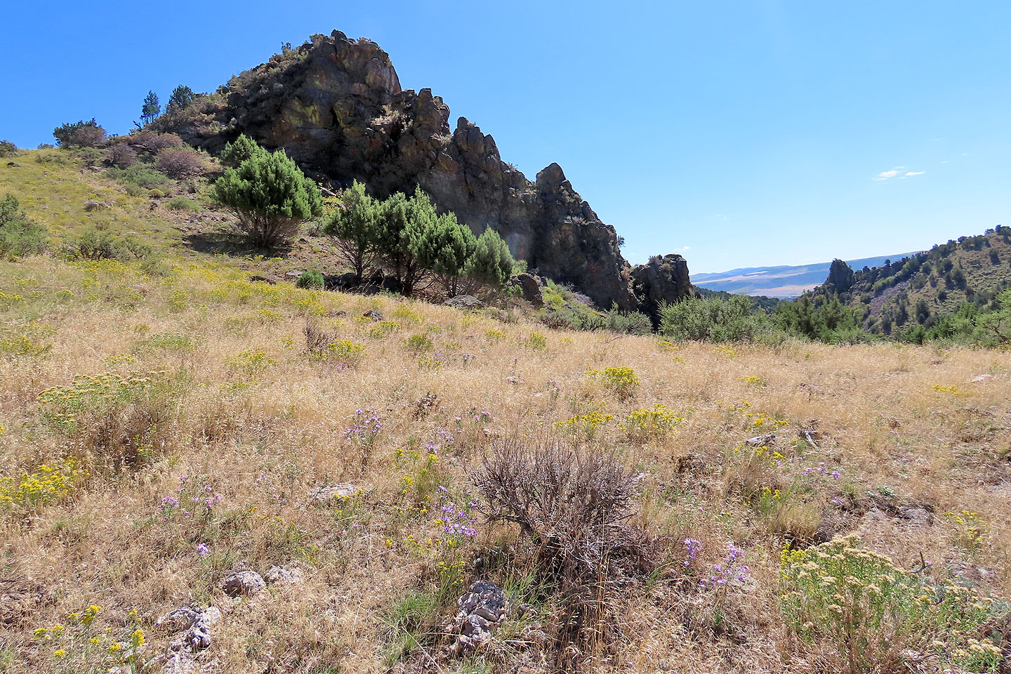
Looking back, the ridge on the right appears interesting to explore
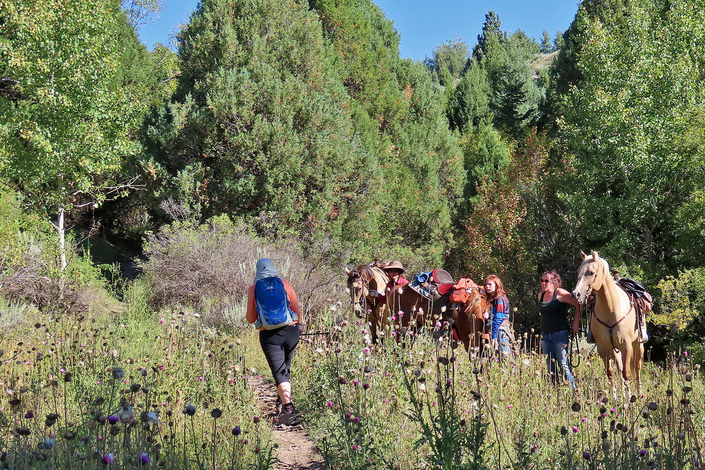 Equestrians stepped aside to let us pass
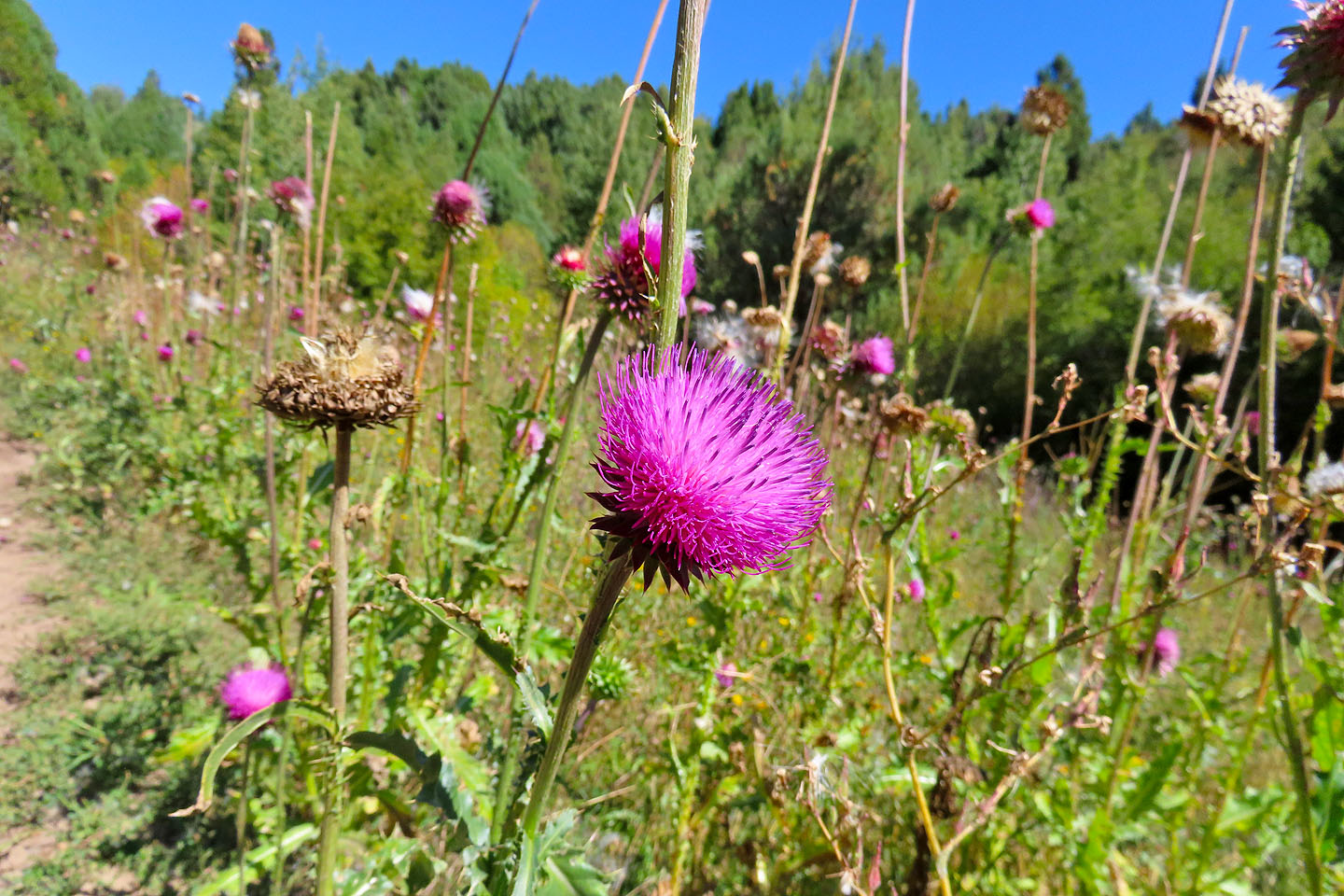 Thistle patches lined the trail
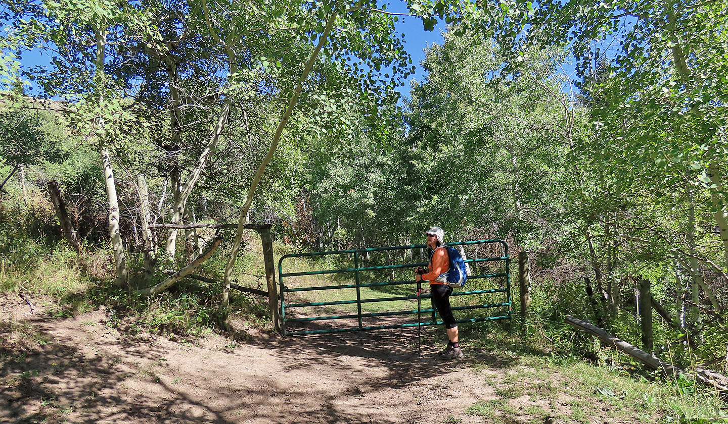 The equestrians told us that after the gate, there's a trail that climbs the ridge on the left
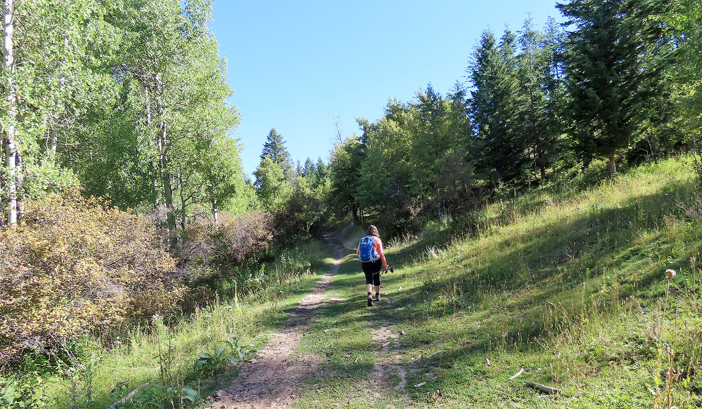 The trail turns onto a road
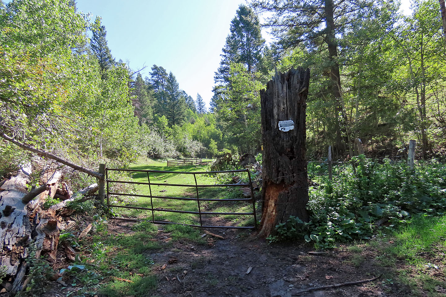 A sign on the next gate offers a reward (mouse over)
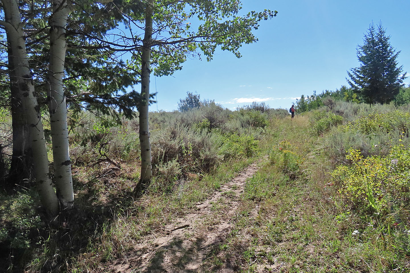
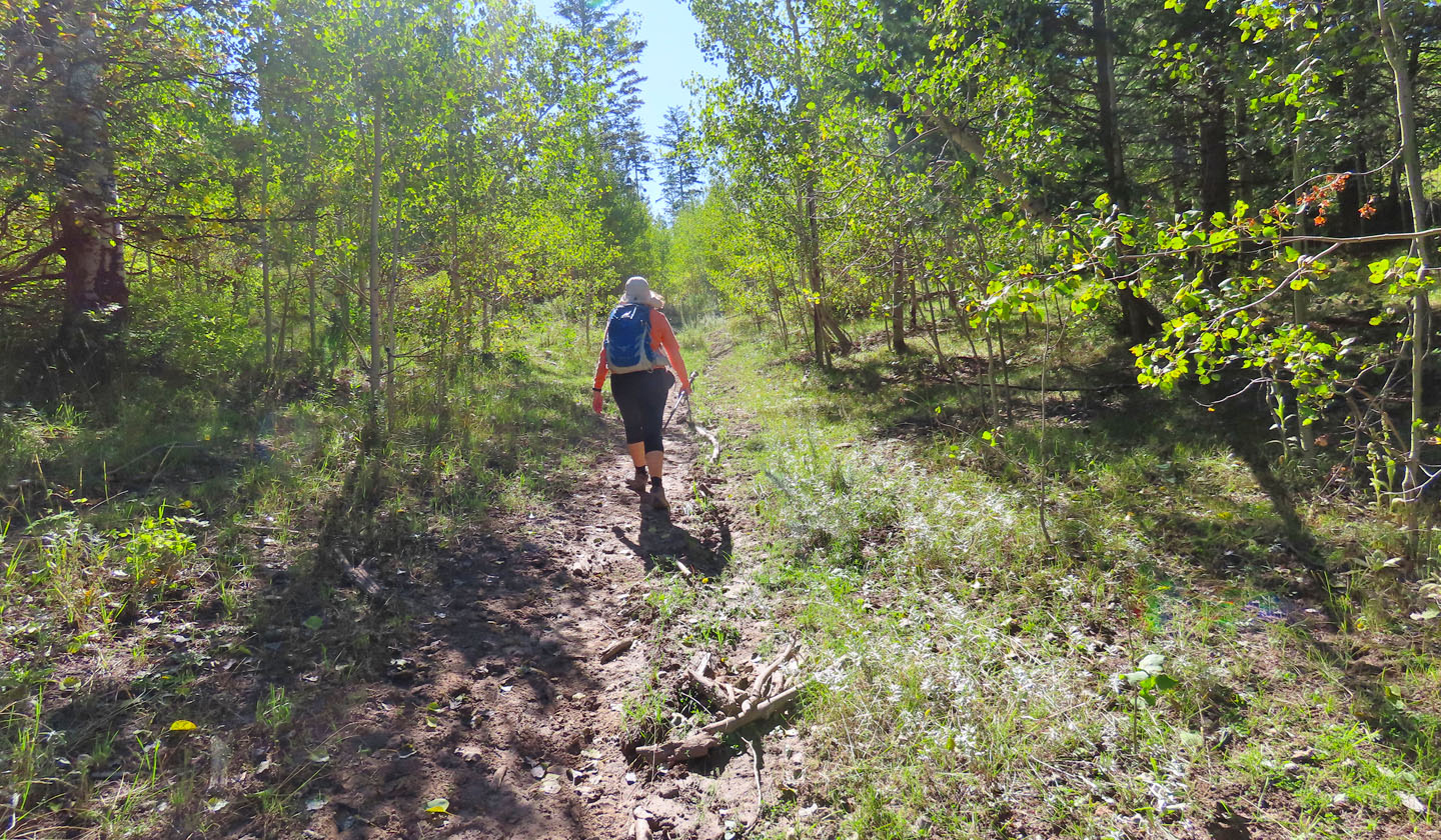 The trail becomes a singletrack again
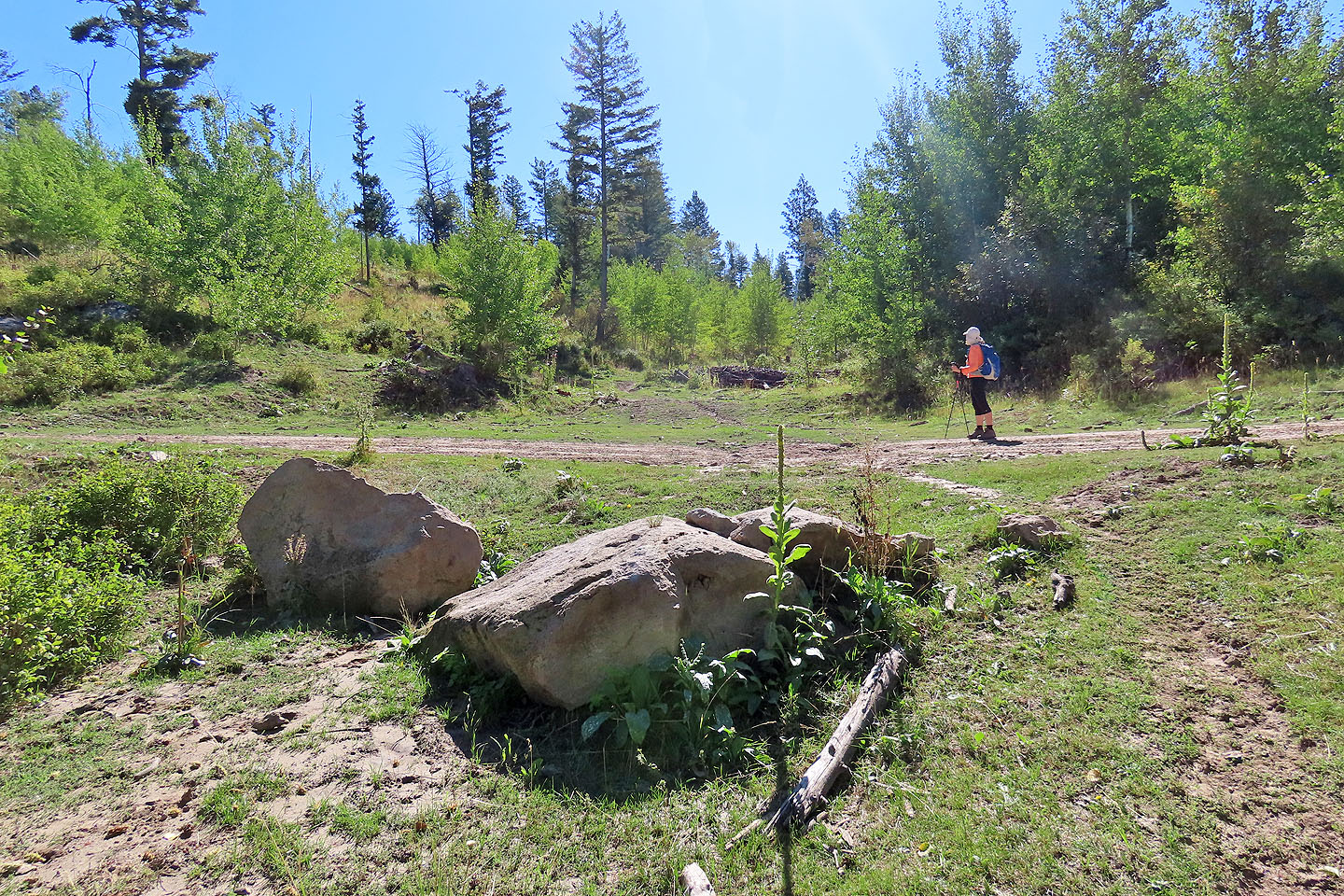 Kelly Canyon Trail apparently ends here, but we continued straight ahead
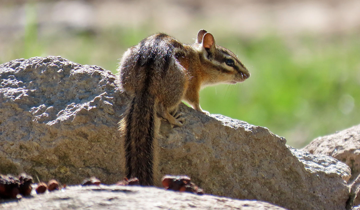
A chipmunk stood on one of the boulders in the previous photo before we came along
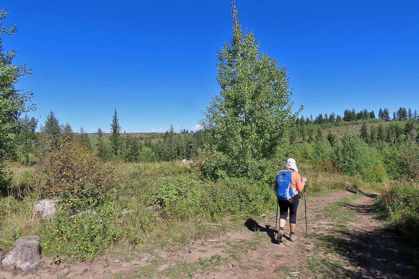
 After passing through a forest, we reached the edge of the clearing
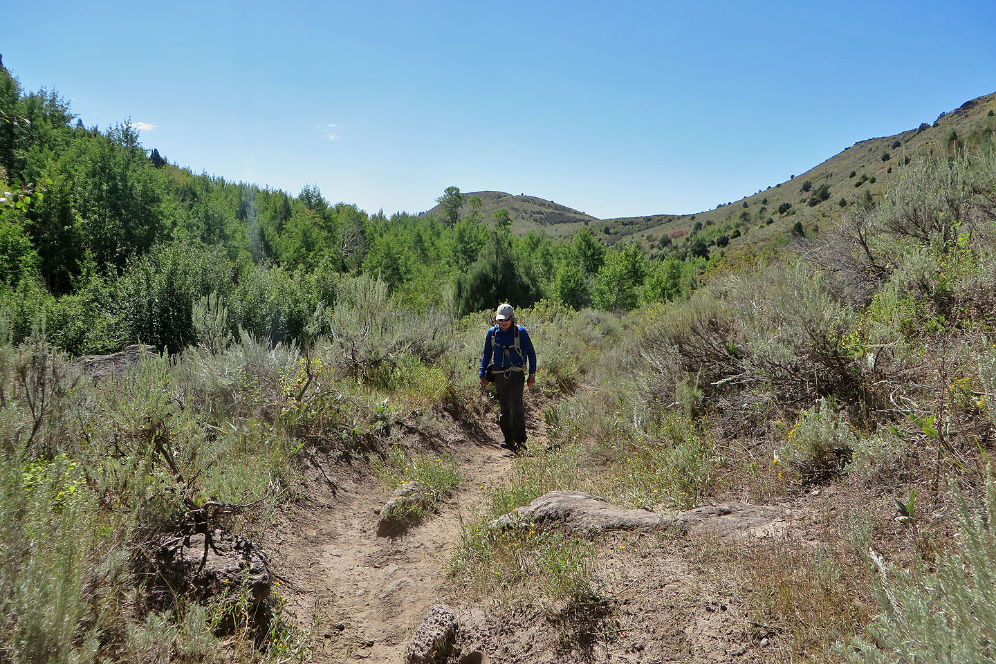
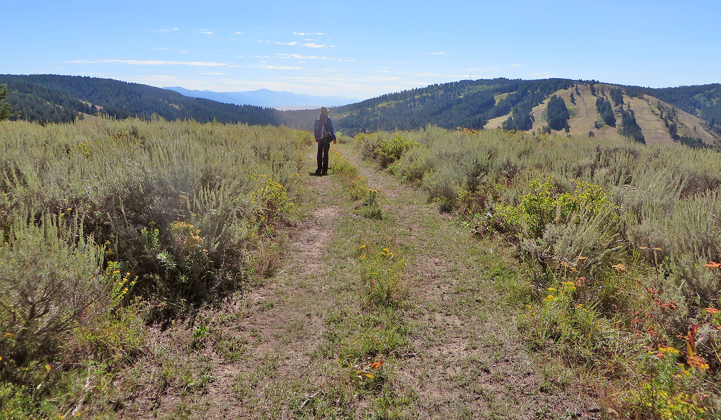
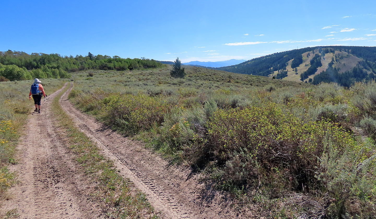 We followed the road to the summit seen in the centre
There's not much to see from the top
 Looking across the valley at Kelly Mountain and Kelly Canyon Ski Resort
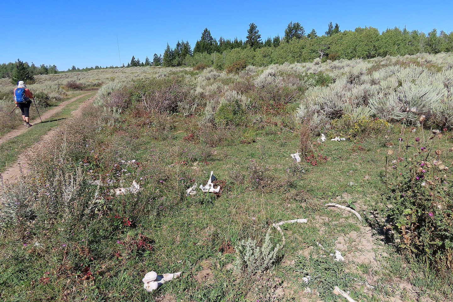 Heading back, we passed a bone yard
 We took a different road back to Kelly Canyon Trail
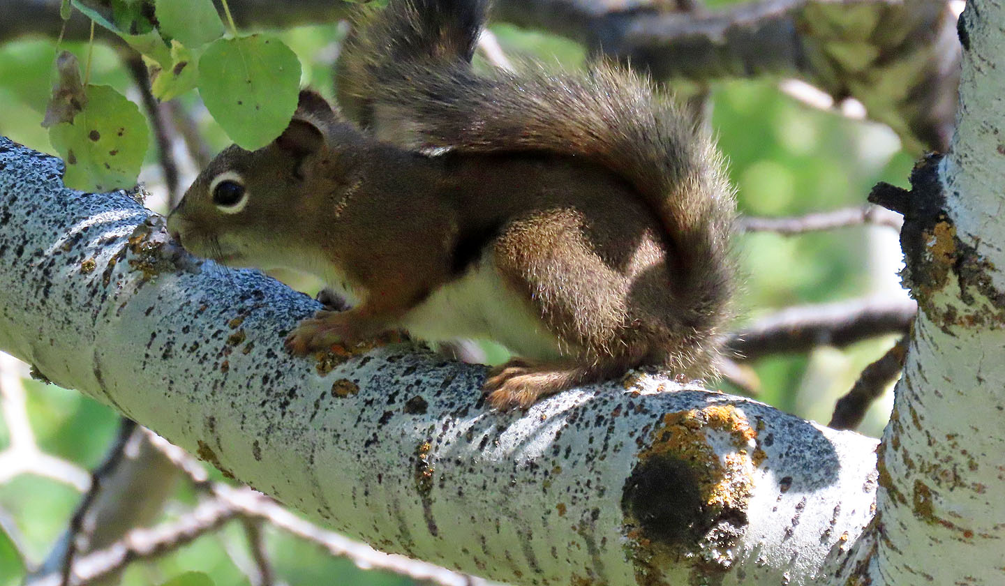
A squirrel watched us from the safety of a tree
Coming to Canyon's Crown, the dark rock on the left
 I headed to the left side of the rock formation
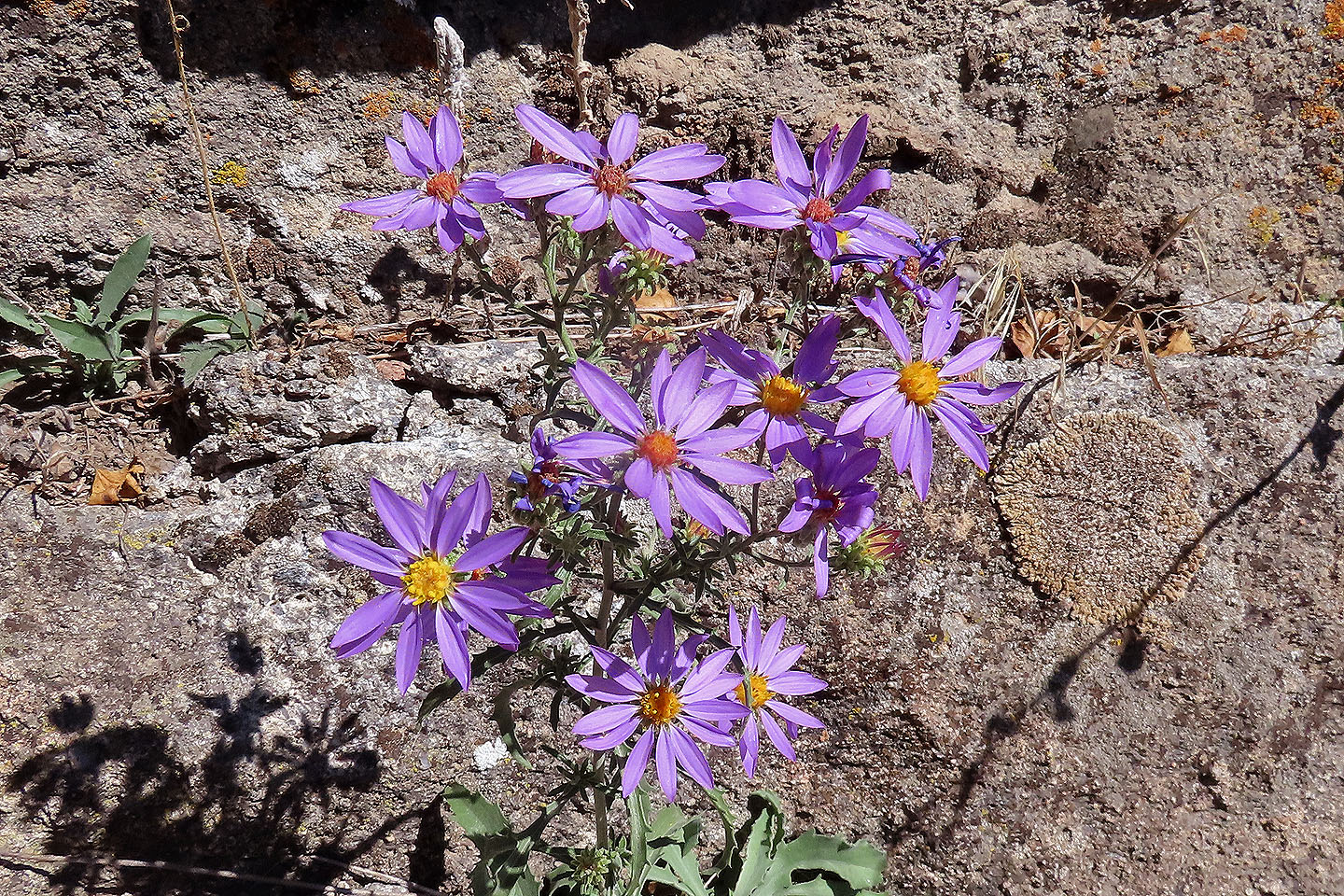
Asters were everywhere
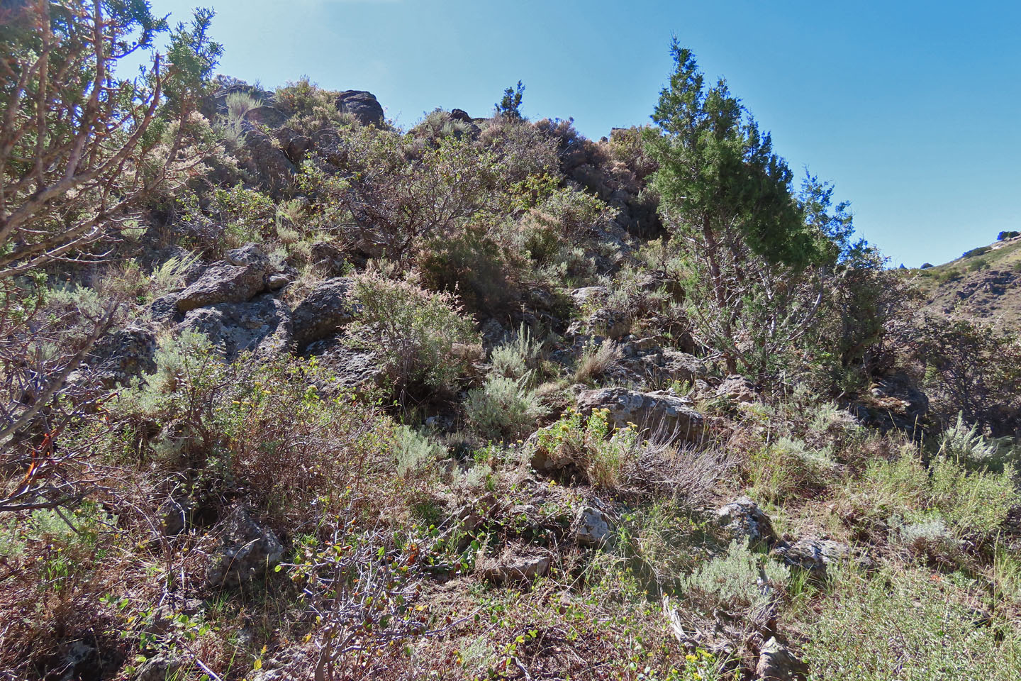 The ascent was steep, bushy and rocky
 Dinah watched as I neared the summit (mouse over for a close-up)
 After going farther down the trail, she found another view of Canyon's Crown (mouse over)
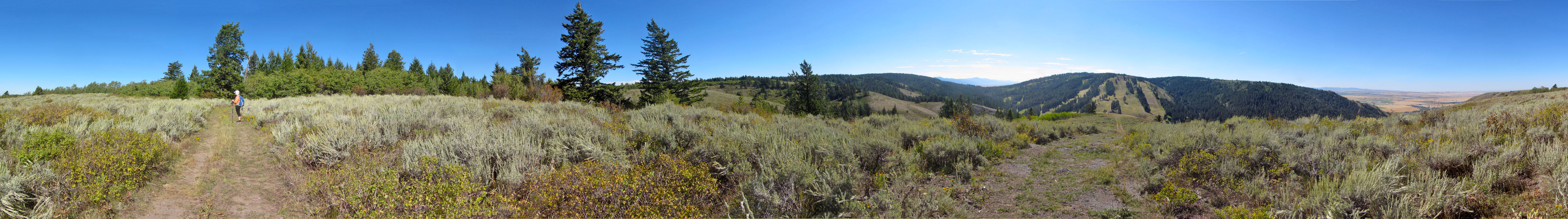
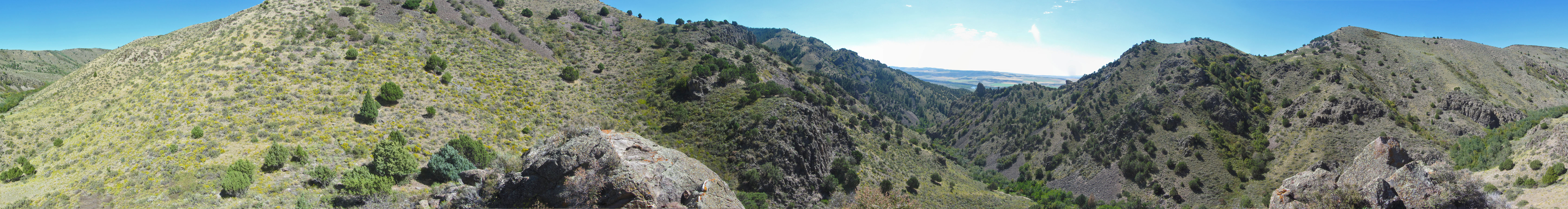 Panorama from Canyon's Crown
 Heise (7.3 mi, 6467 ft, 1178 ft)