bobspirko.ca | Home | Canada Trips | US Trips | Hiking | Snowshoeing | MAP | About
Quandary Peak
Tenmile-Mosquito Range, Colorado
August 30, 2006
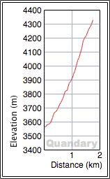
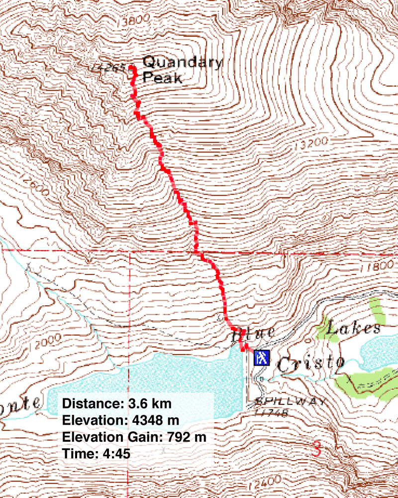
Distance: 3.6 km (2.2 mi)
Cumulative Elevation Gain: 800 m (2625 ft)
Although Dinah and I wished to ascend a few fourteeners, we prefer climbing in solitude and wanted to avoid the crowds that come with popular mountains with popular ascent routes. Quandary Peak isn't popular, and it offers a fast, quiet route. Most people hike the long east ridge, but we scrambled up the south slope, a short but steep route. We didn't encounter a soul on our ascent.
The trail starts at Blue Lake and follows a gully. Although it's possible to hike up either side of the gully, we took the gully and were able to get in some scrambling. Mindful of the debilitating high-altitude headaches we had two days earlier on Mount Audubon, we took our time.
On reaching the top, we met people relaxing in the windbreak. They, like others coming up, hiked up the east ridge.
On the descent, we followed a trail down the south slope. A park ranger had warned us that people had been rescued on the descent using this route when they ran into cliff bands, a fact that confounds me. We could see our car from the summit and on either side of the gully stretched broad scree slopes. I couldn't see how people could lose their way on this route.
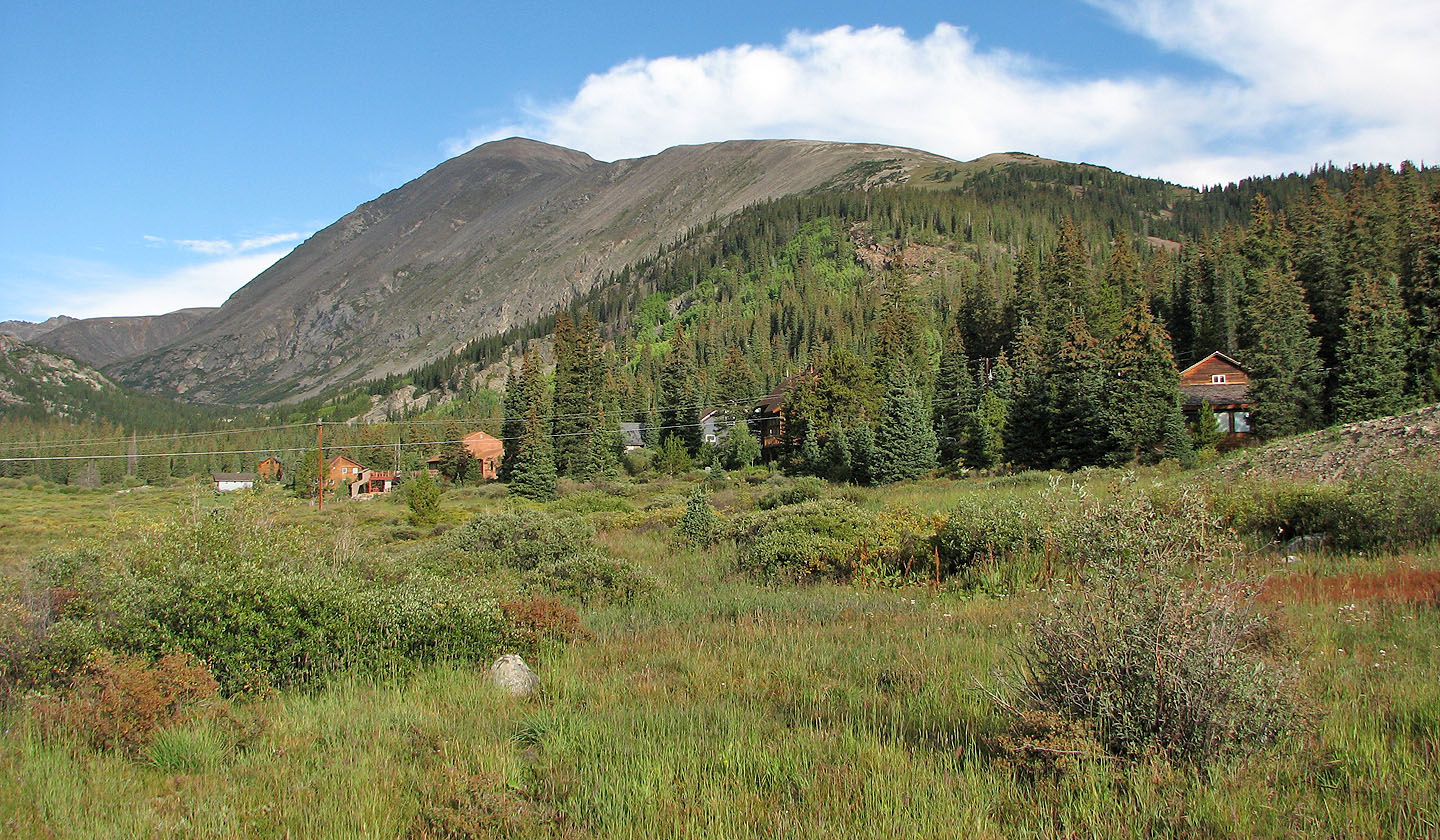
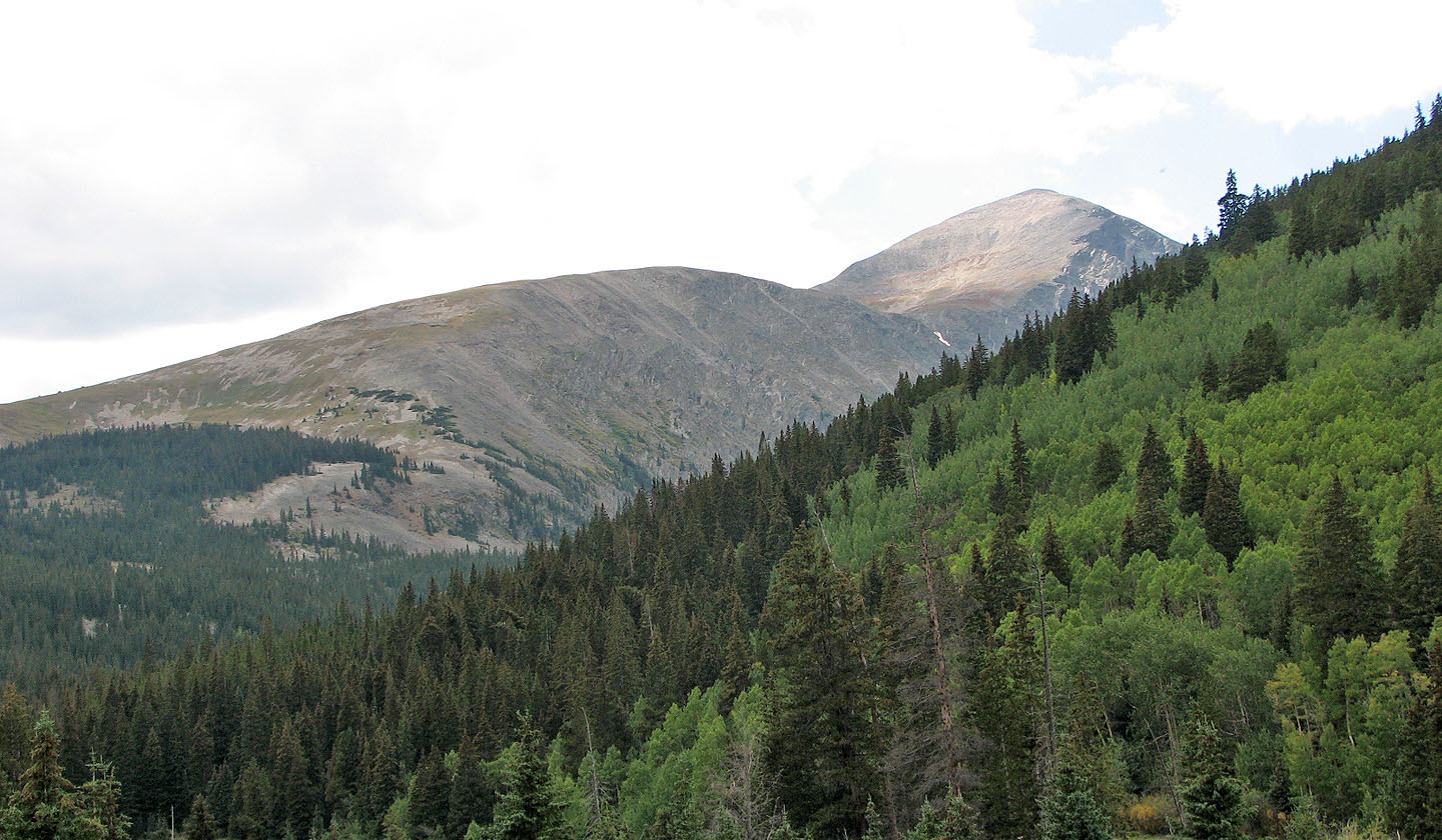
Quandary Peak seen after we turned onto the dirt road leading to the dam (left).
Most people hike the gentle ridgeline trail, but we ascended the steep slopes left of the summit.
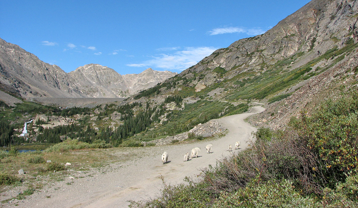
Just before the dam at Blue Lake we startled some mountain goats (mouse
over for a close-up)
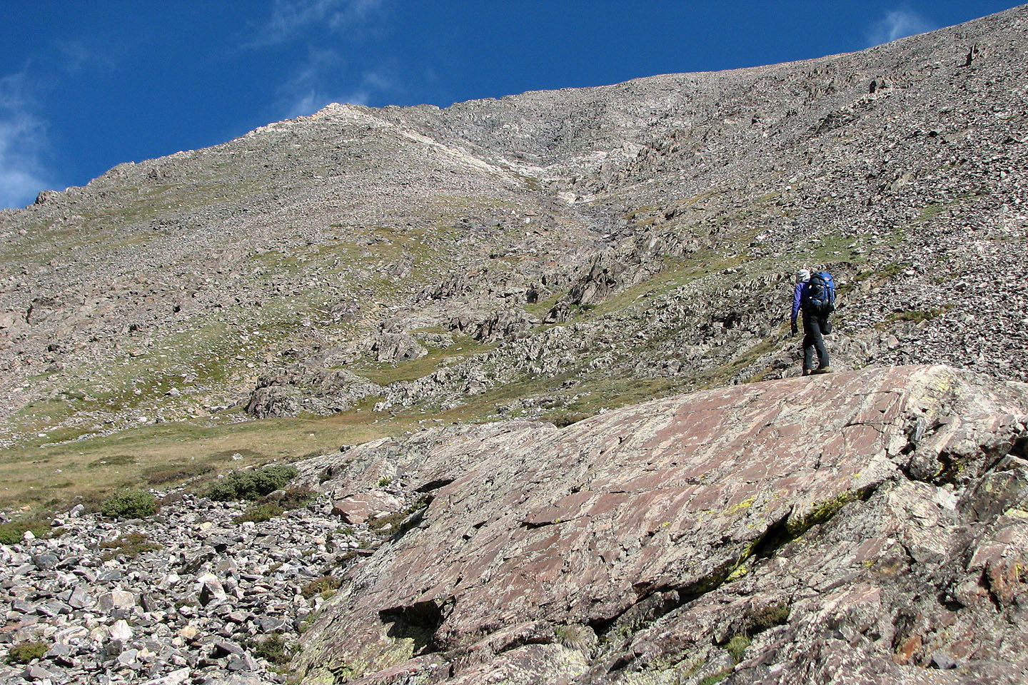
Starting up the lower south slopes of Quandary
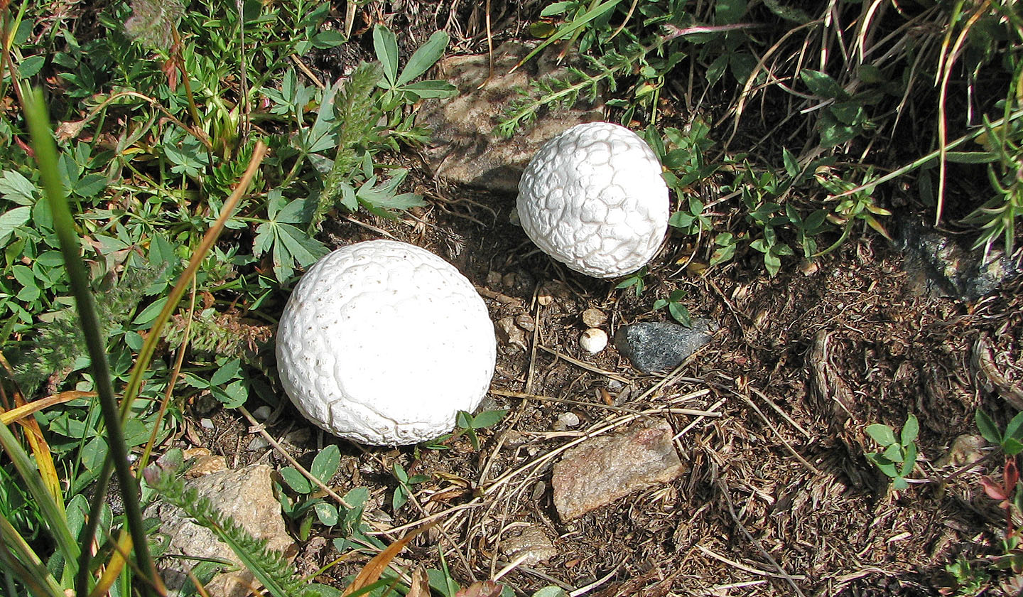
At first I thought I came across some golf balls, but they were puffball mushrooms
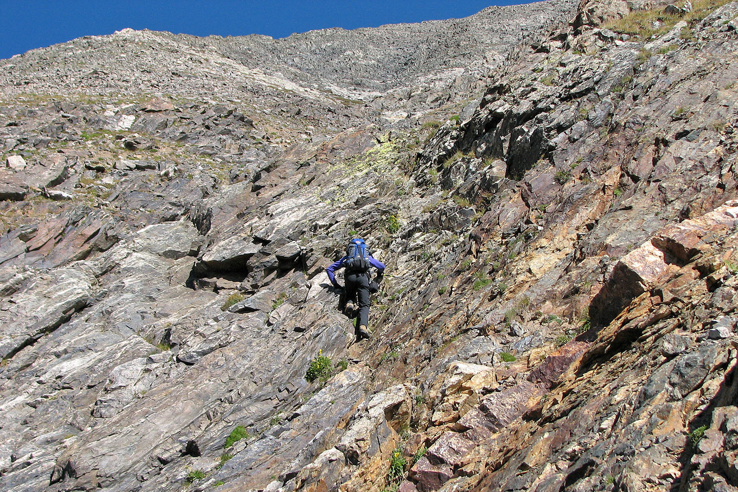
What looked like a gully to me, was called a "couloir" in the book
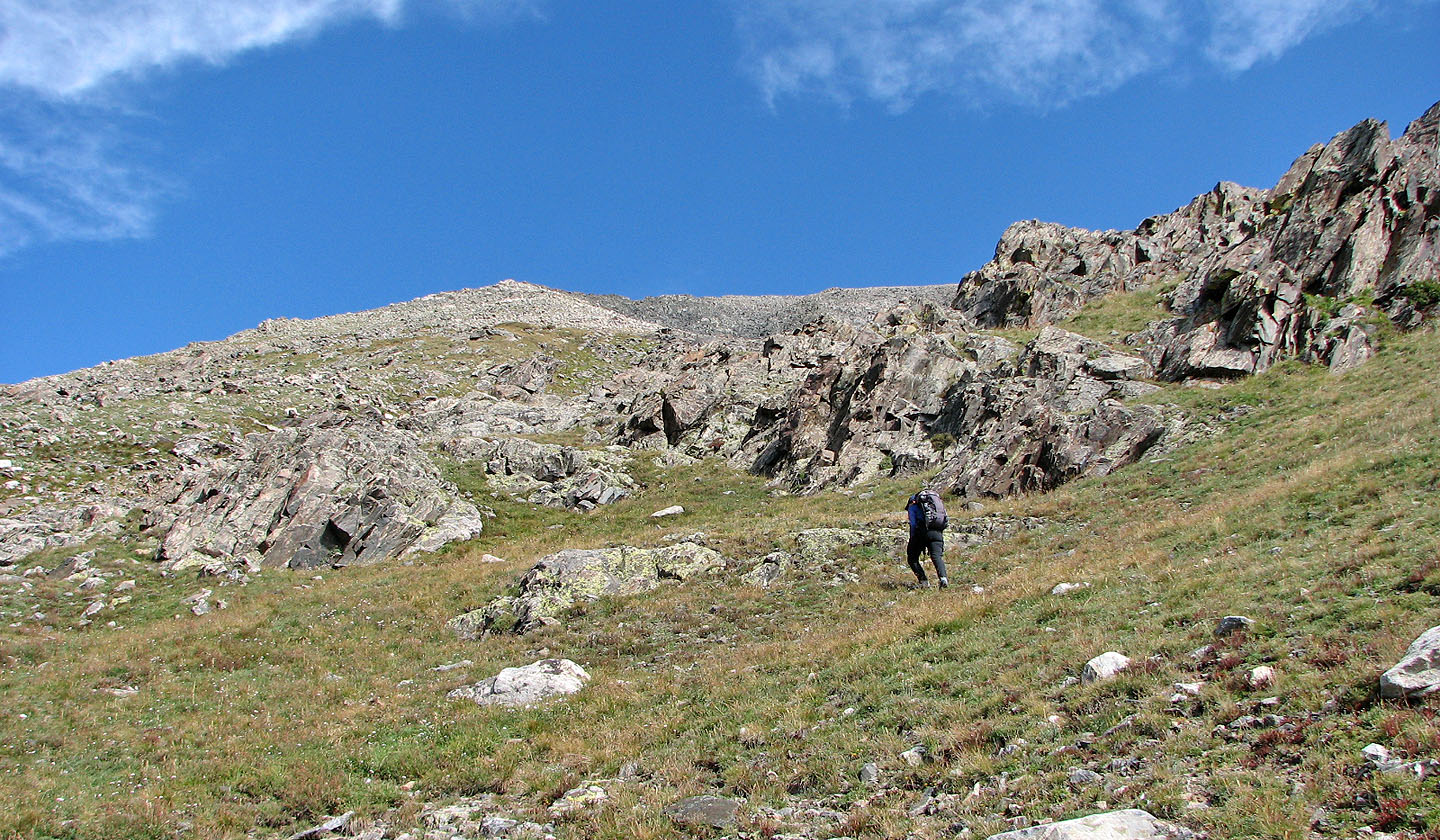
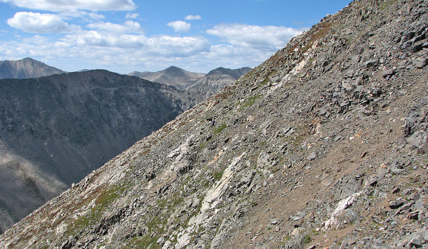
There's some scrambling if one looks for it
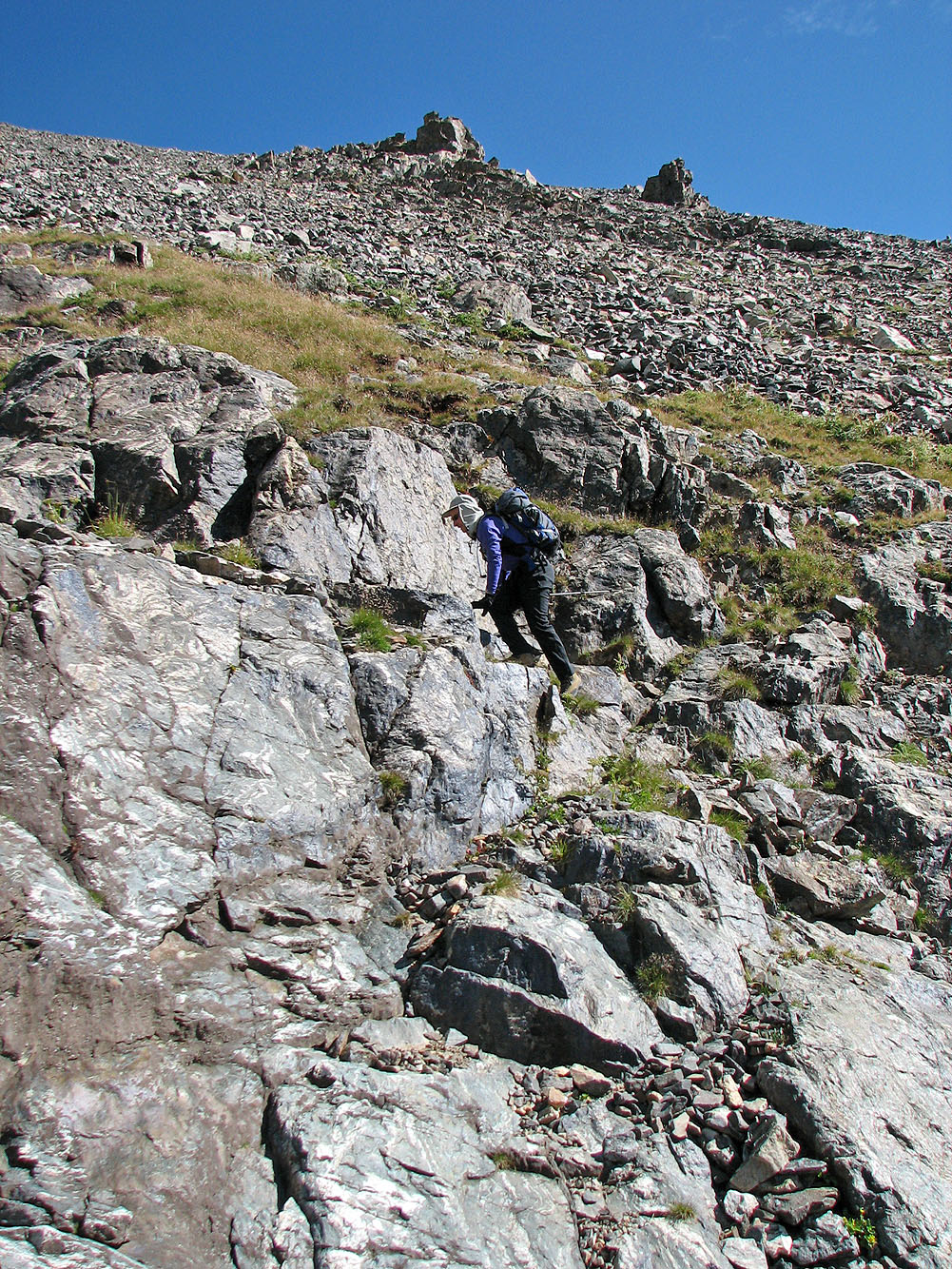
Easier terrain can be found on either side of the gully
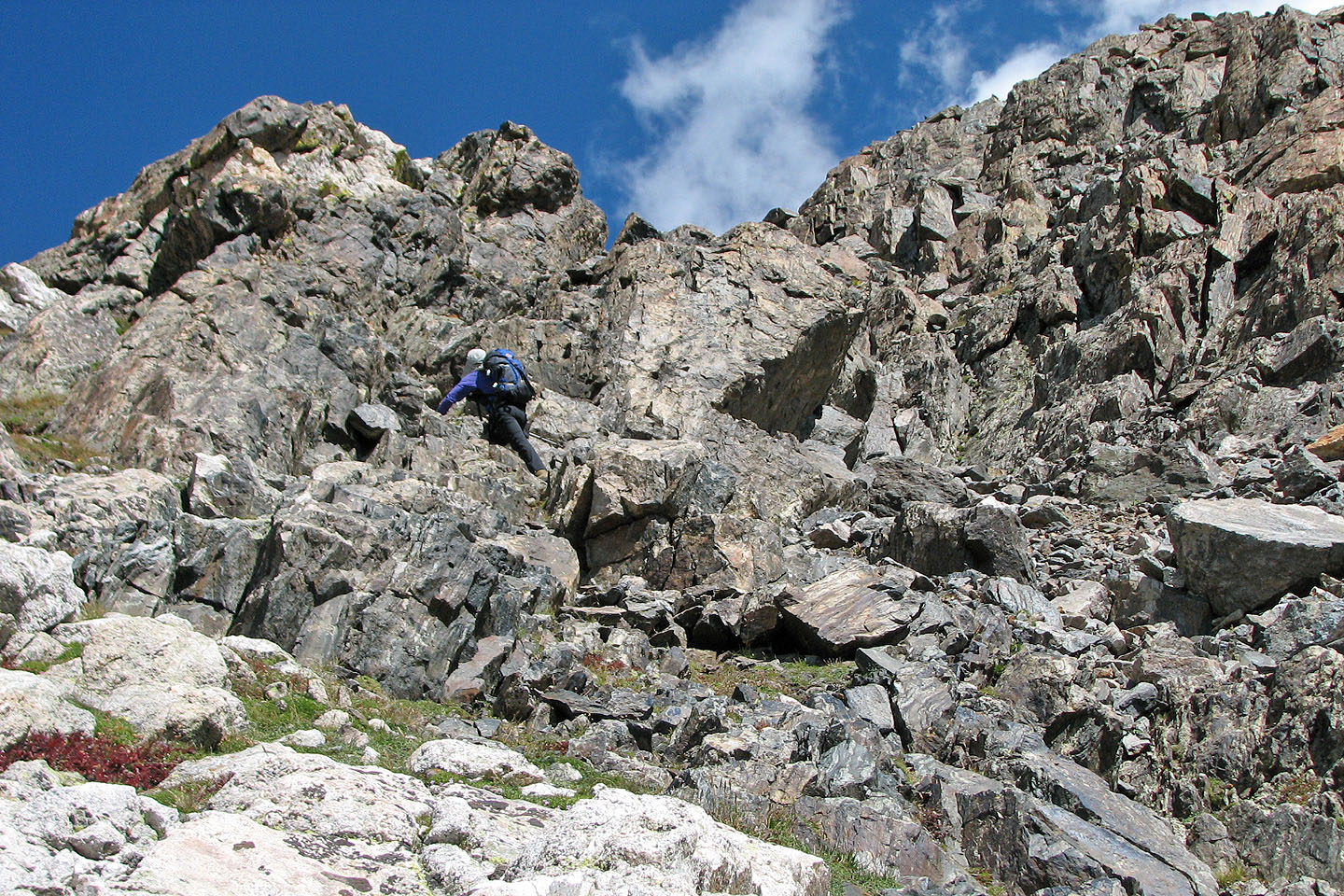
As interesting as it gets
Solid rock near the bottom gives way to loose rock higher up
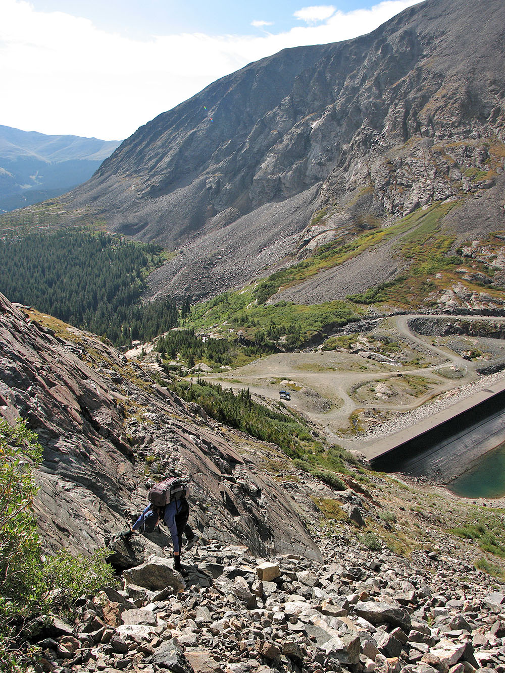
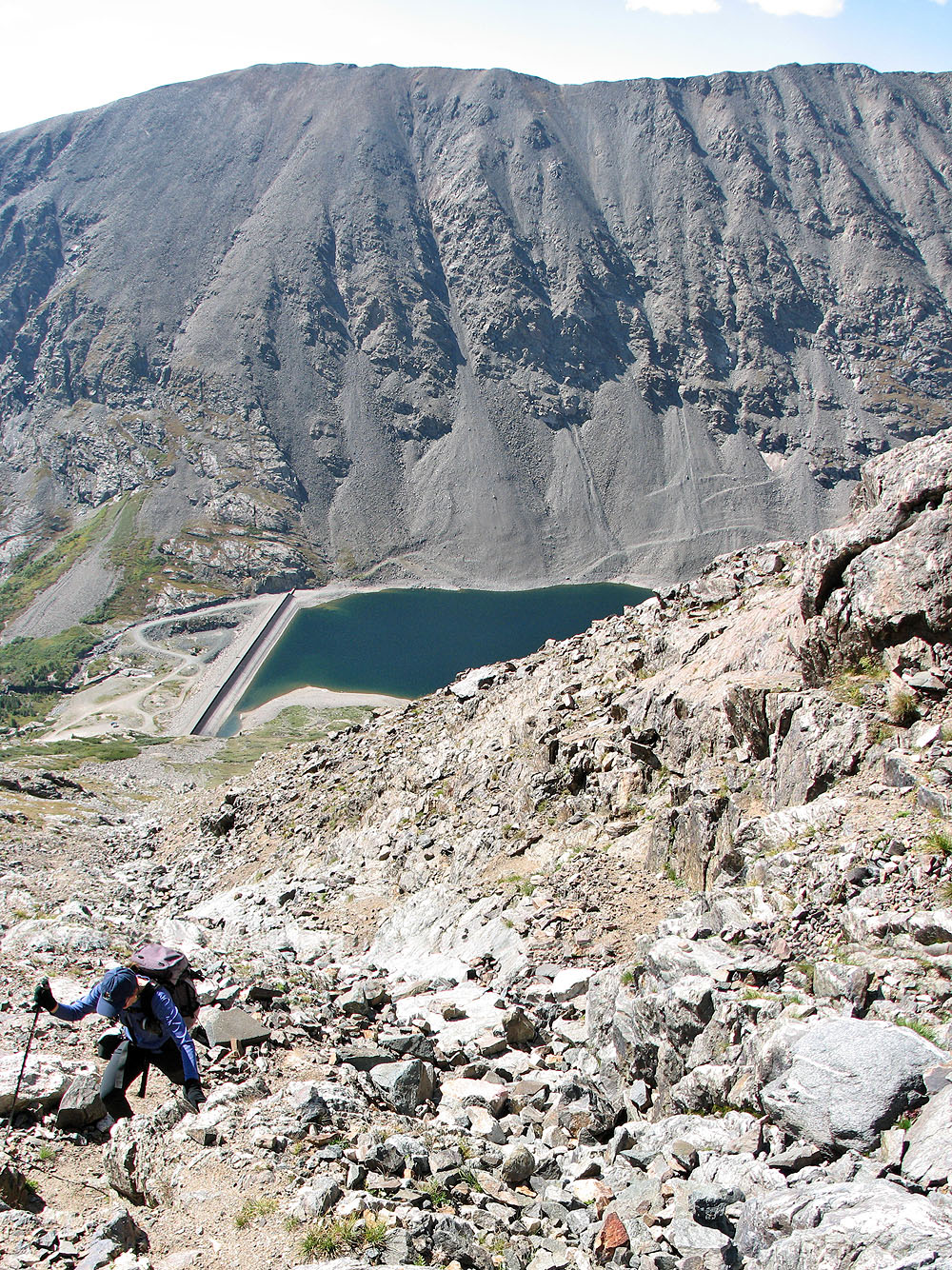
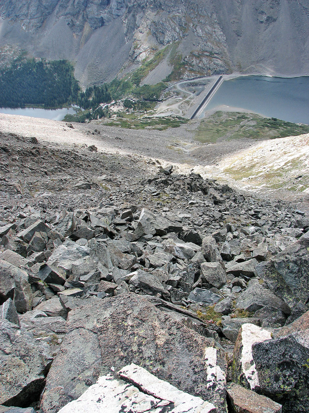
Below, you can see cars park near the dam
Dinah (the dot in the centre, mouse over) ascended the left side of the gully
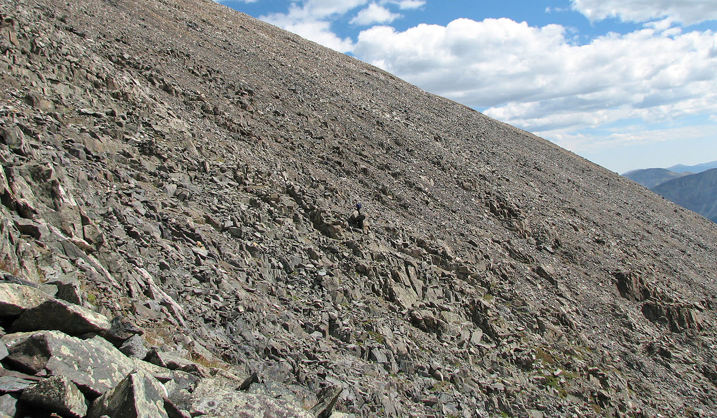
I stayed in the gully (centre, mouse over)
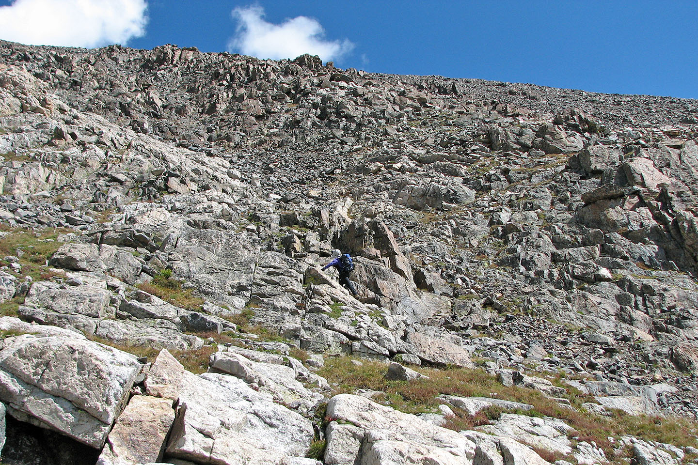
It's a steep climb on the upper slopes
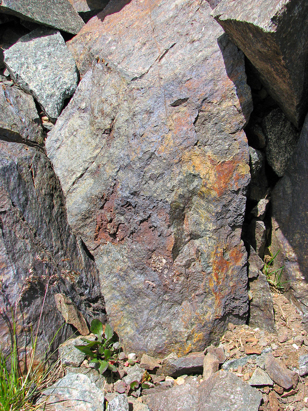
Multicoloured rock
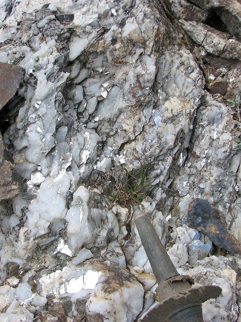
Mica in the rock glittered like silver everywhere
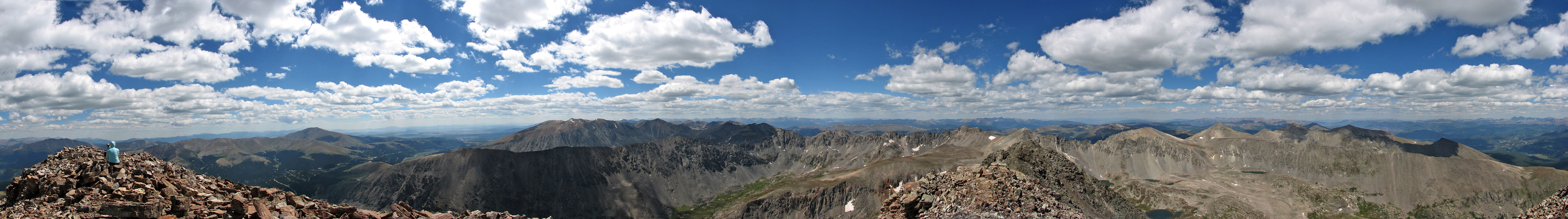
Looking back as we neared the summit
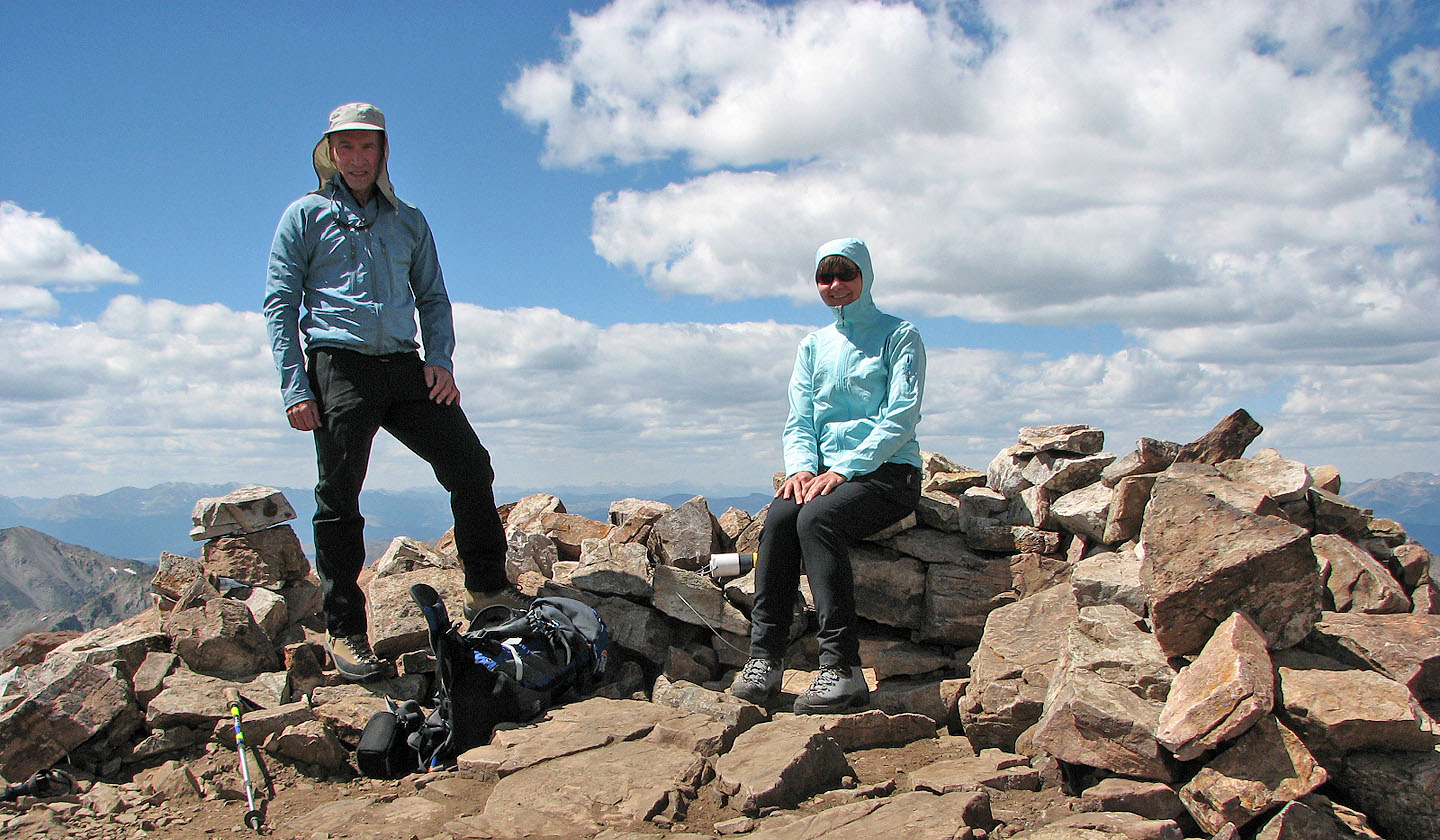
On the summit
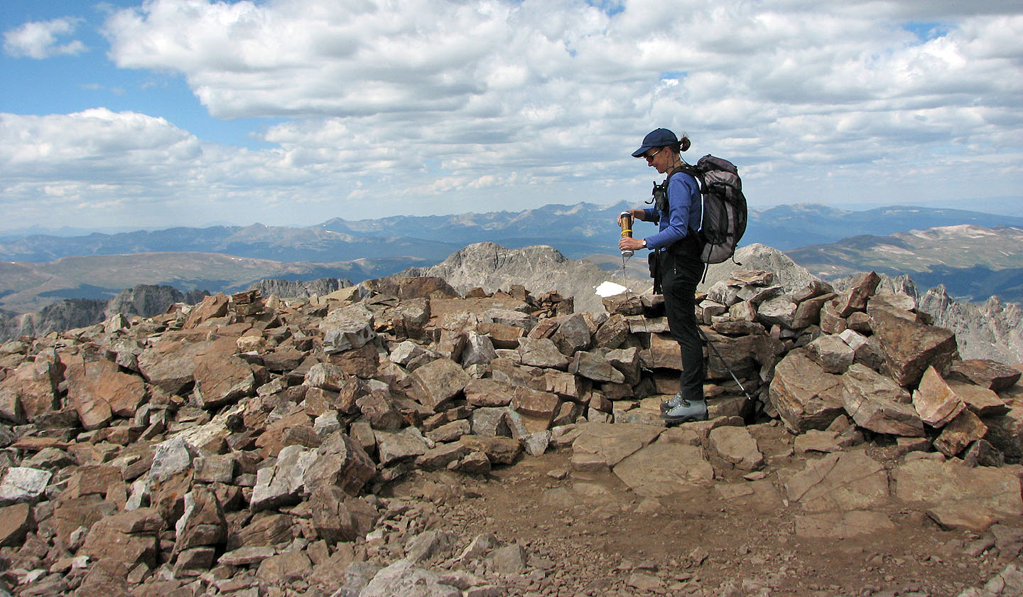
The summit registers were made of PVC pipe and were attached to a rock by wire cable.
Inside, instead of a booklet, were assorted pages, including printouts of the route.
A last look at Quandary
Breckenridge (2.2 mi, 14,265 ft, 2,598 ft)