bobspirko.ca | Home | Canada Trips | US Trips | Hiking | Snowshoeing | MAP | About
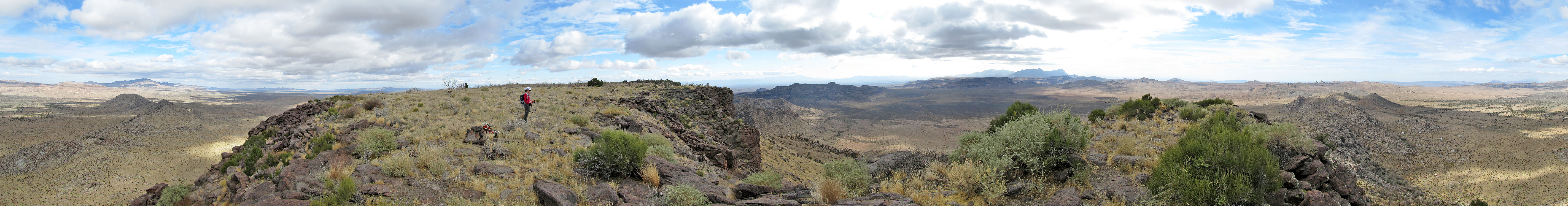
Table Mountain (aka Table Top}
Mojave Desert, California
November 13, 2011
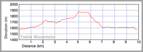
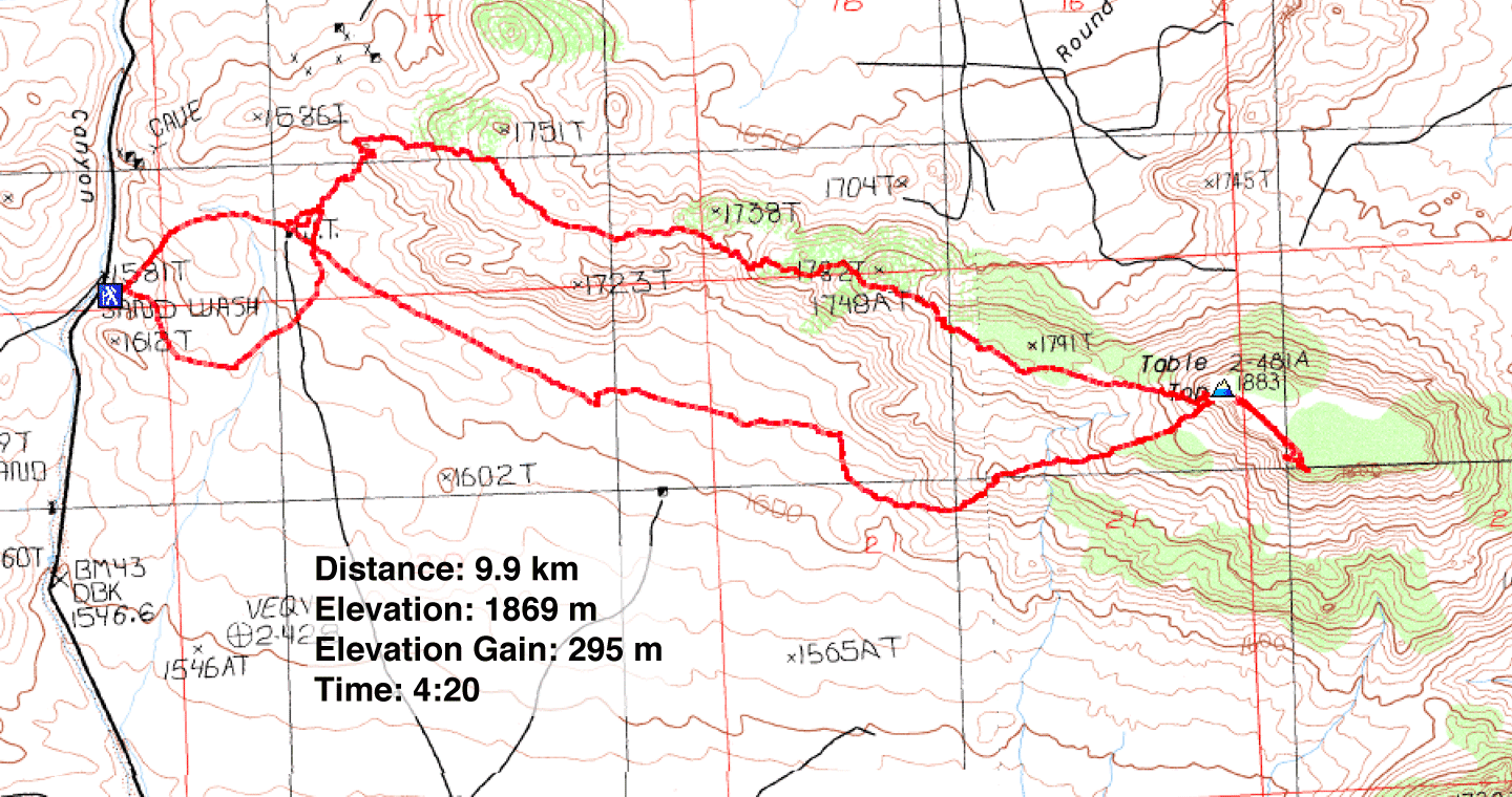
Distance: 9.9 km (6.2 mi)
Cumulative Elevation Gain: 368 m (1207 ft)
We chose to ascend Table Mountain not for its lofty heights or its physical demands, but for its granite boulders. From start to summit, Table is chockablock with boulders. I probably saw more boulders here than on my last fifty trips put together. Piles and piles of boulders, some larger than a house. This mountain is a wonderland of rocks.
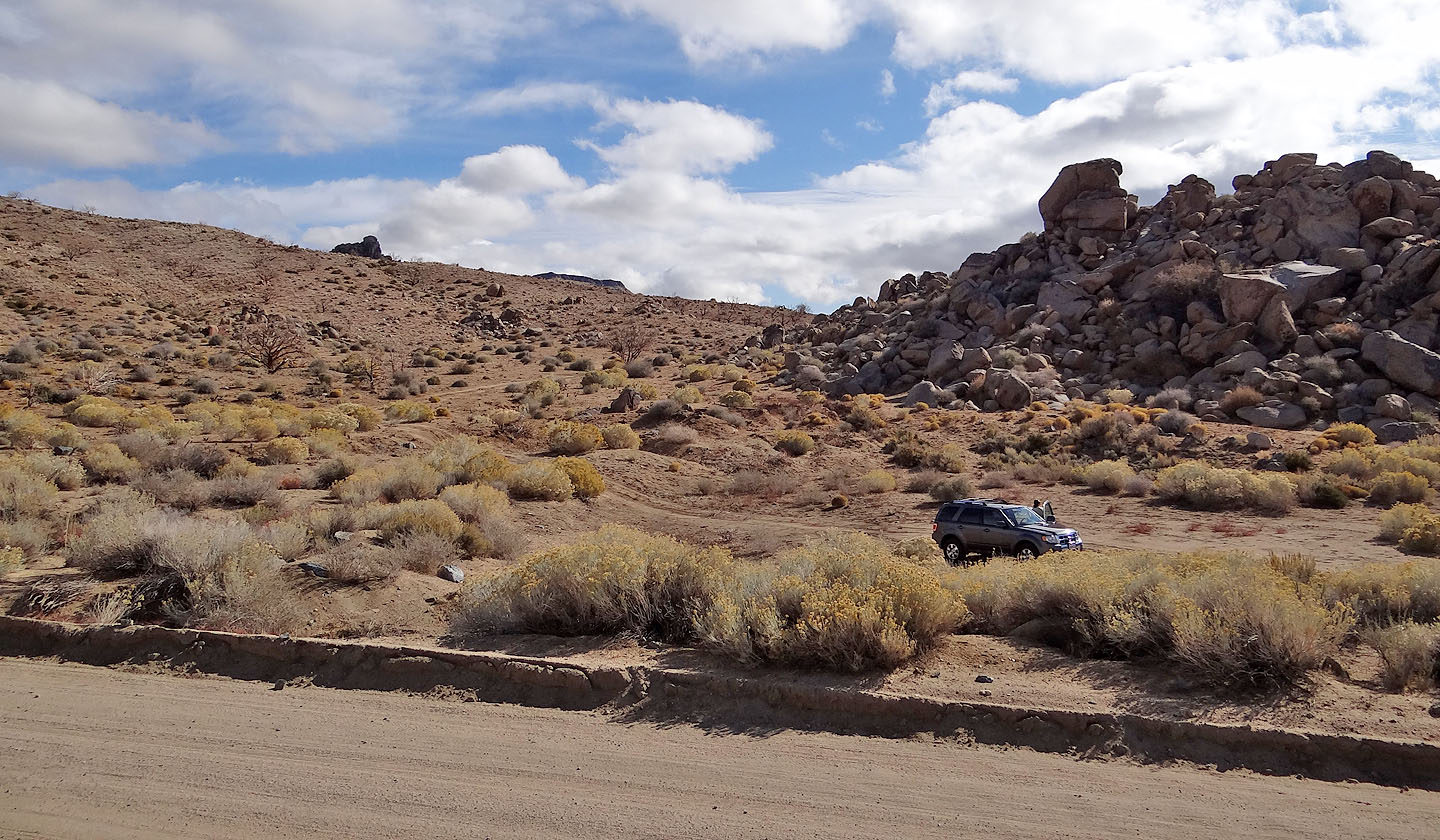
After Dinah and I parked at the trailhead, next to a pile of boulders a few stories high, we set off up a road in search of a windmill, the first landmark described on Summitpost. But after hiking for several minutes, the road veered away from Table Mountain with no sign of the windmill. So we left the road and headed north across the desert. We found the windmill 600 m northeast of the trailhead, hidden behind a ridge.
From the windmill, we started up the long ridge that leads to Table, but soon we became distracted by the wildlife. Dinah spotted a rabbit that fled and she tried in vain to get a photo of it. I, on the other hand, tried to take pictures of roadrunners and quail. All the creatures, however, easily darted away and hid among the rocks and creosote bushes. After spending thirty minutes chasing the critters – I only managed a few distant pictures of quail – we gave up and hiked up the boulder-strewn ridge.
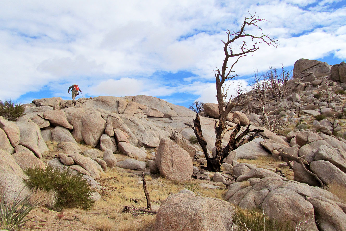
The length of the ridge was a hodgepodge of boulders. In some places they were spread out, and we travelled easily through them, but in other spots, they rose in great piles in front of us, and we had an interesting time navigating up through them. Eventually, however, we made our way to the base of the summit. We ascended the steep slope below it. The flat top of Table Mountain stretches several hundreds of metres across, but fortunately the summit is at the nearest end. After reaching it, we hiked a short way along the mesa before turning back.
Instead of following the ridge back, we simply dropped down to the desert floor on the south side and walked back to our car. The flats, scattered with boulders, were as fascinating as the ridge.
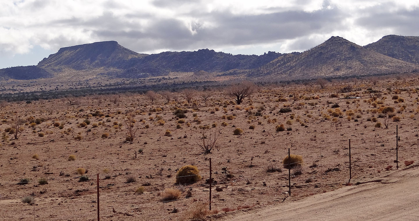
Table Mountain from Black Canyon Road (mouse over for a close-up)
At the trailhead. Table Mountain in the centre.
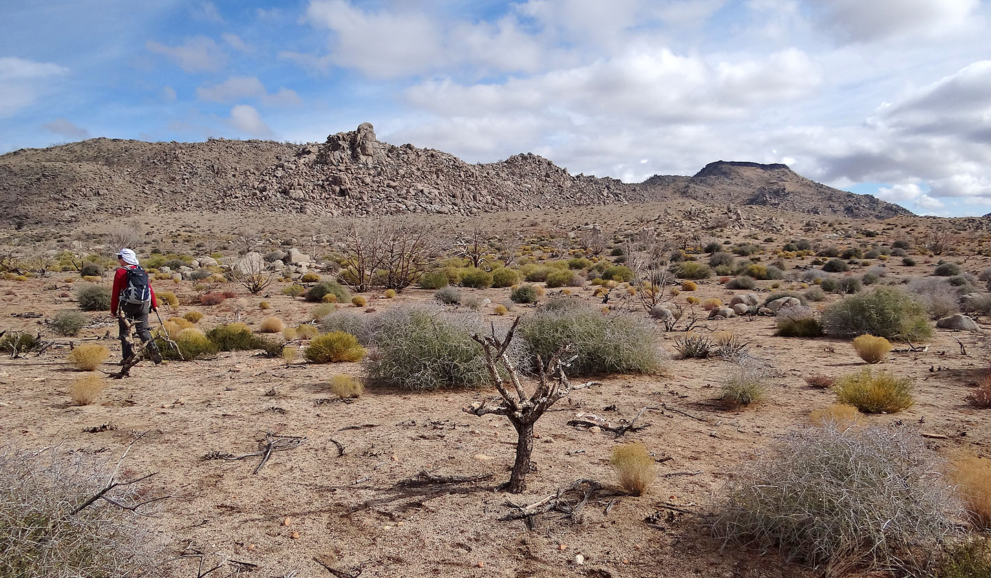
After leaving the road we set off across the desert flats to the ridge (far left)
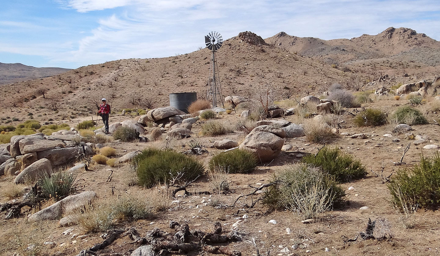
The windmill
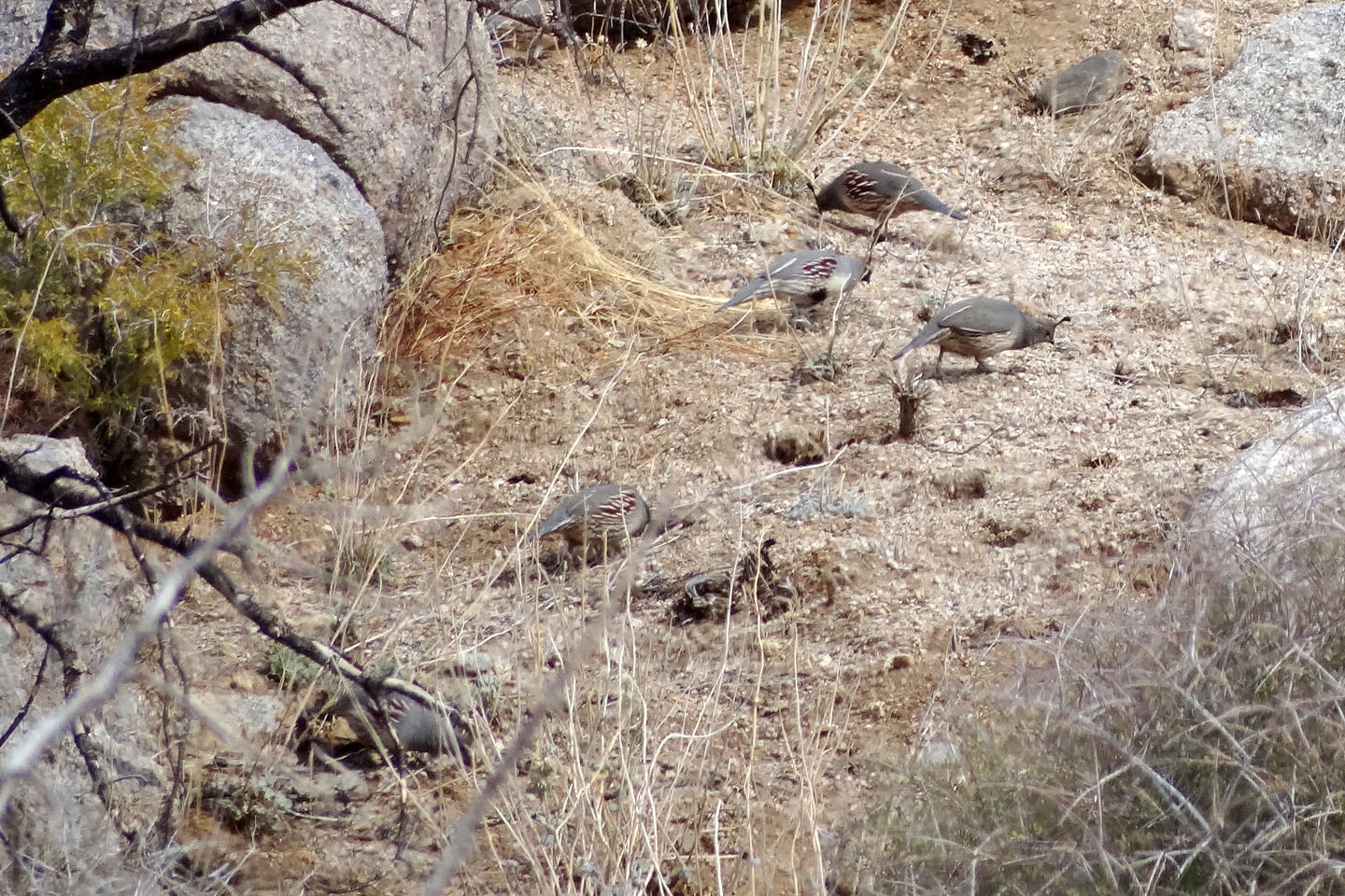
Gambel's quail
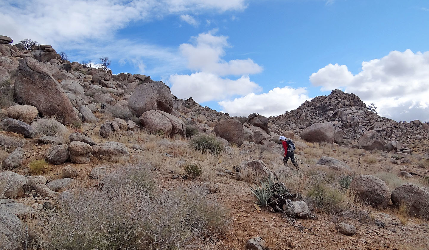
Starting up the ridge
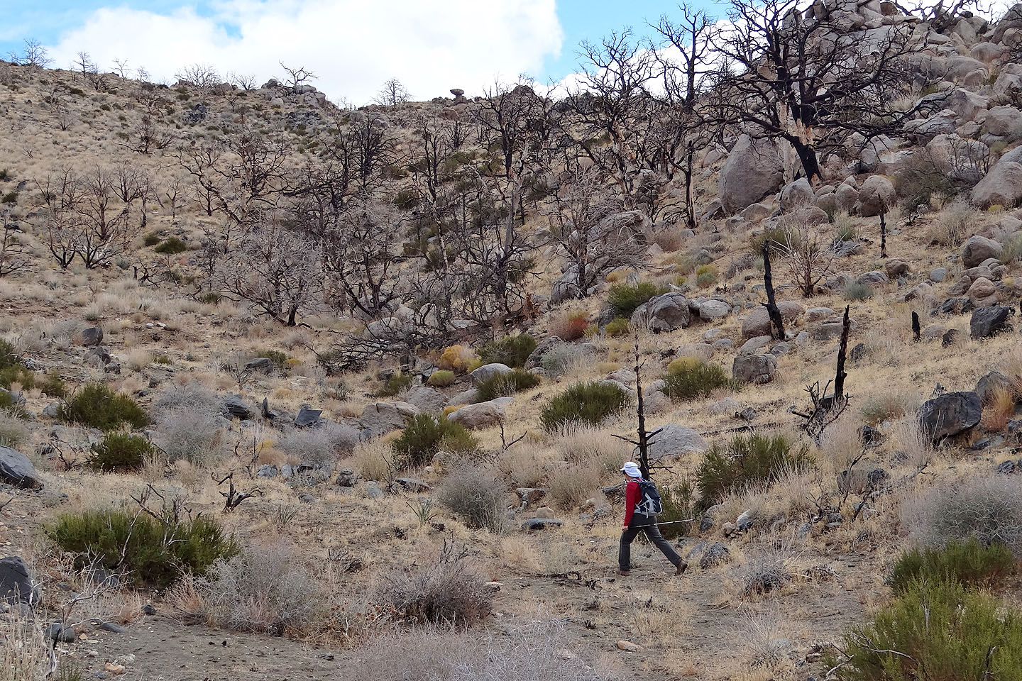
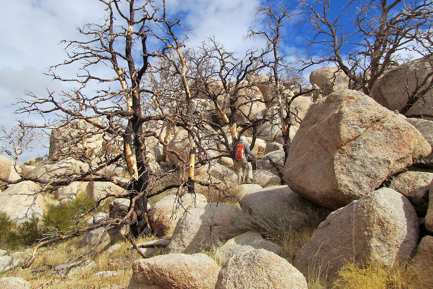
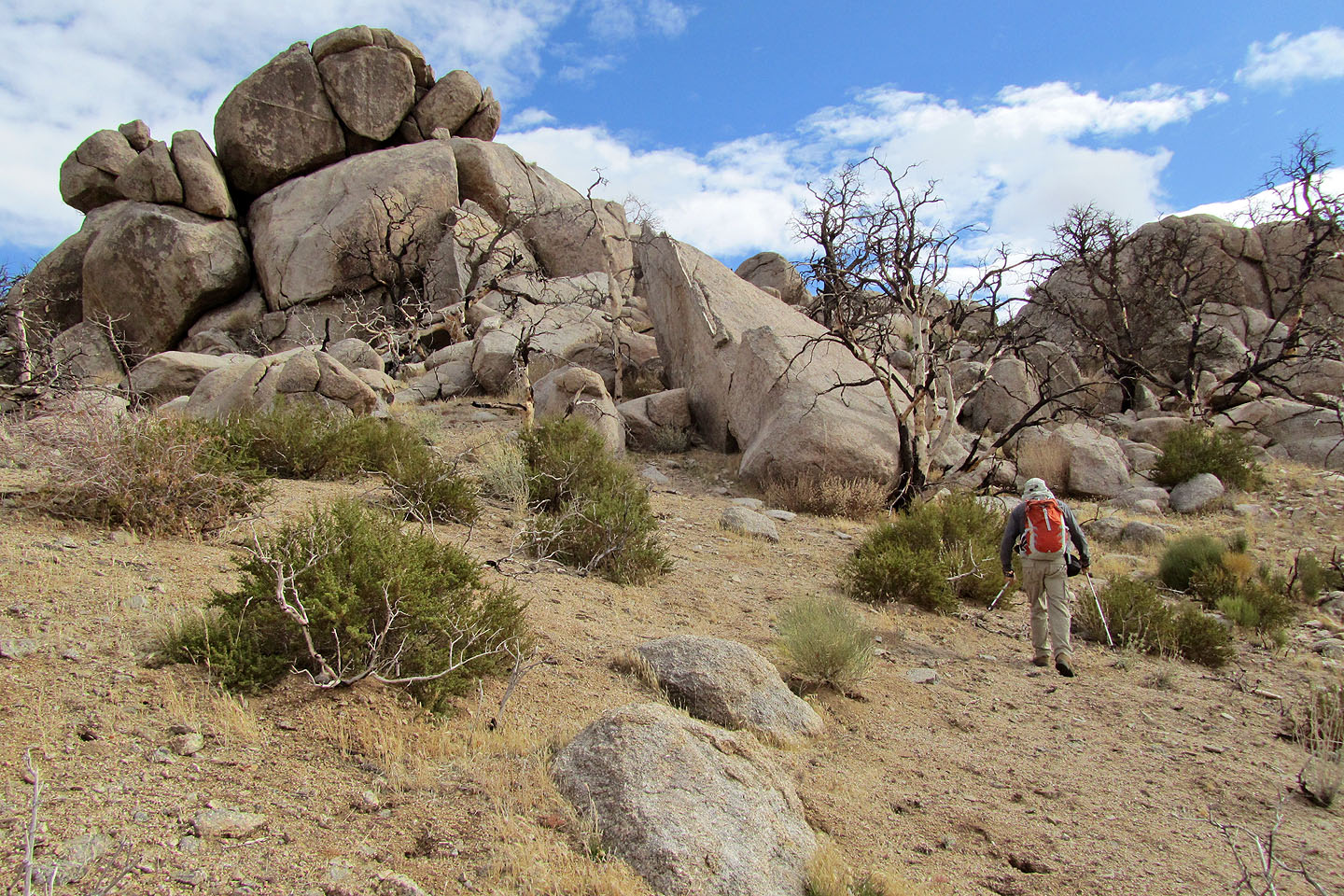
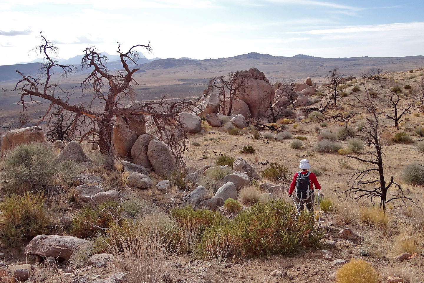
A fire ravaged the area in 2005. Note the balancing rock on the skyline (mouse over)
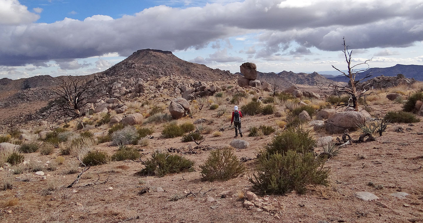
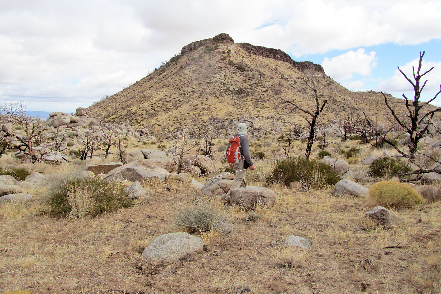
Table Mountain comes into view
Dinah passes below a rock that resembles Pac-Man
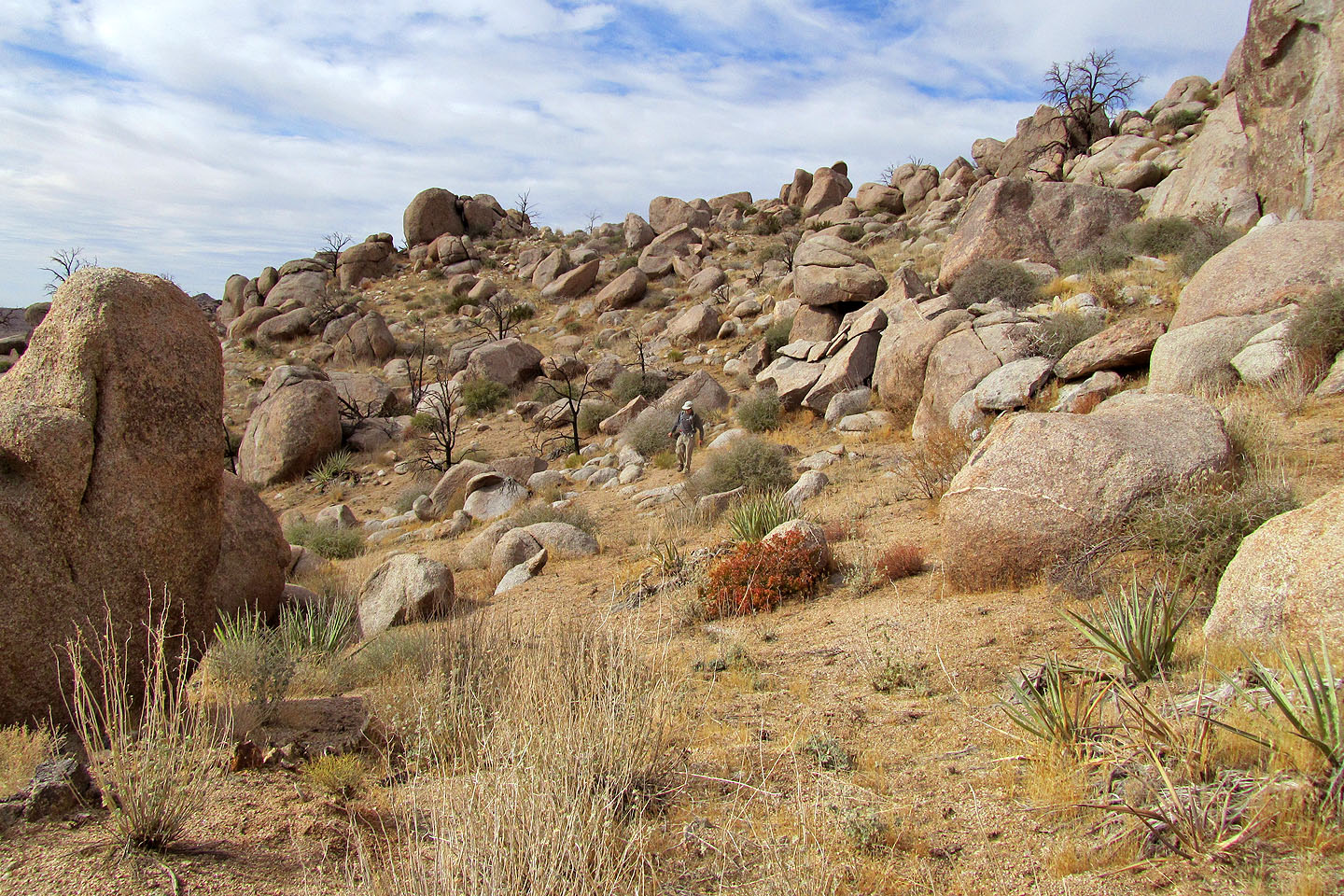
Boulder-strewn slopes stretch all the way to the base of the mountain
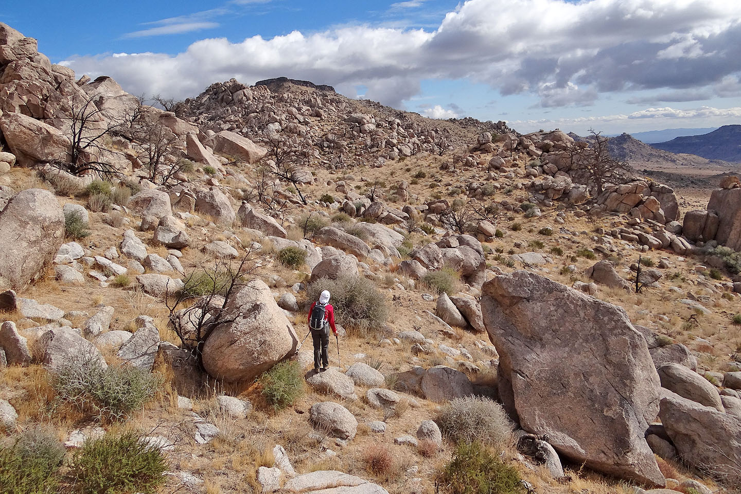
We don't seem to be getting closer to the summit!
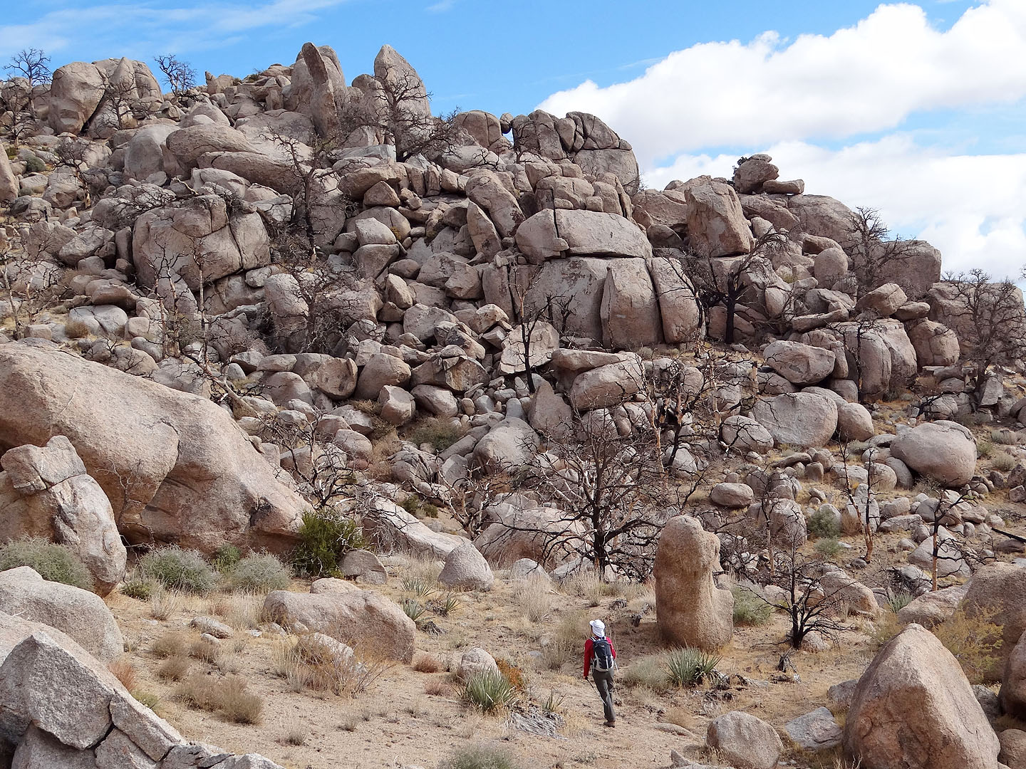
Rather than tackle this rock pile head on, we decided to go left
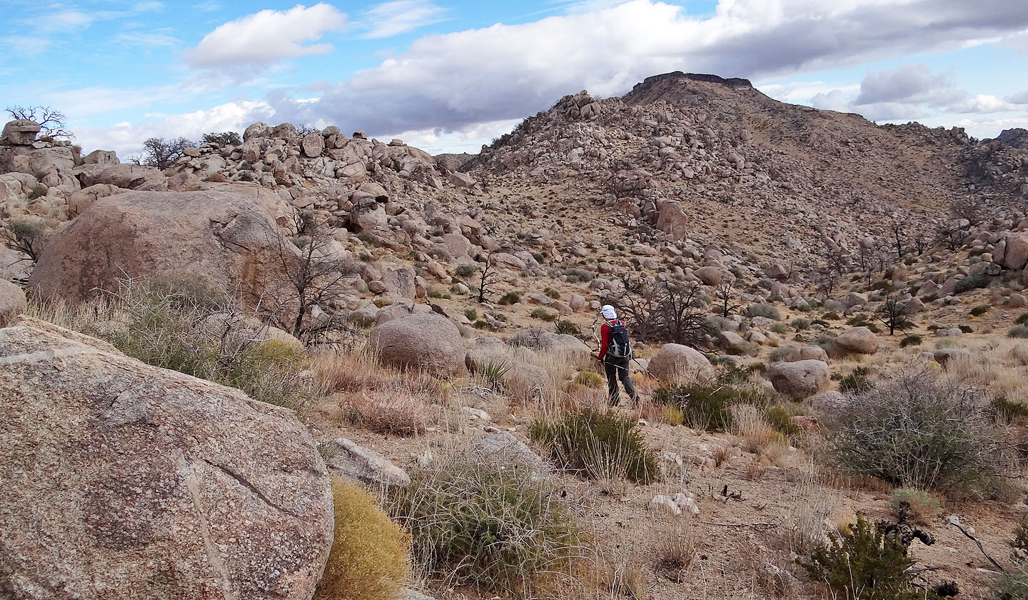
Navigating through endless boulders
Looking back
We lost elevation repeatedly
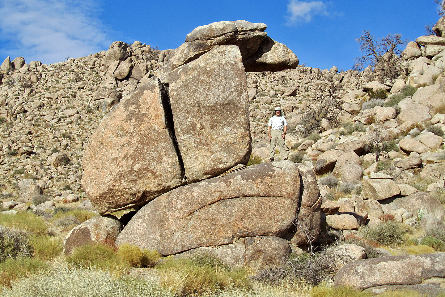
A few extra-large boulders
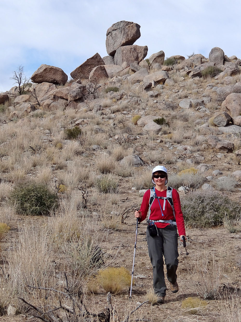
I climbed up on a big rock just because it was there!
We'll soon get back on the ridge
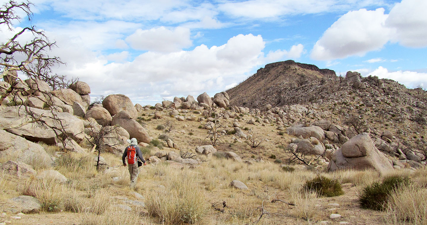
We finally approached the base of Table
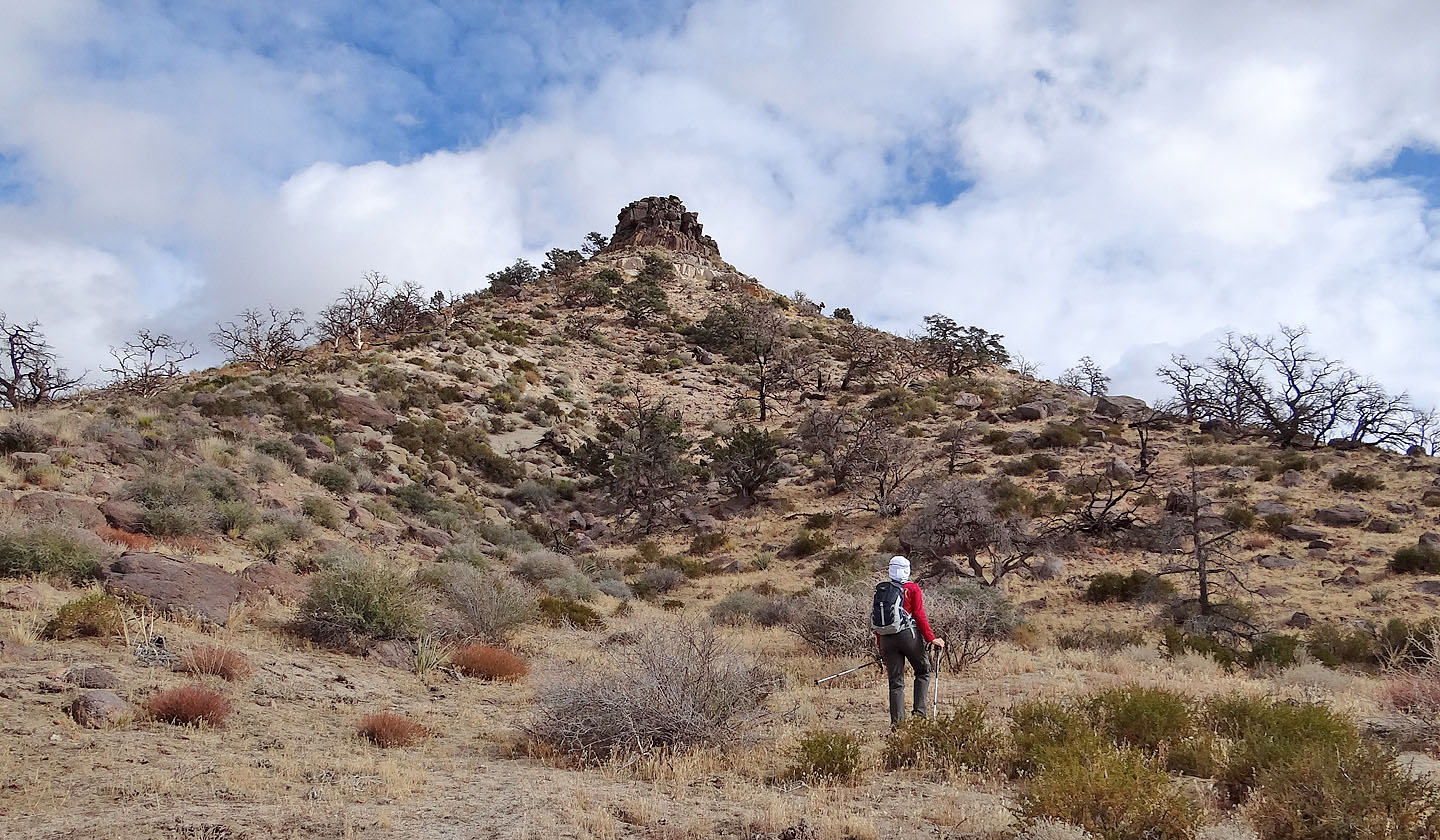
We started up the final slope to the summit
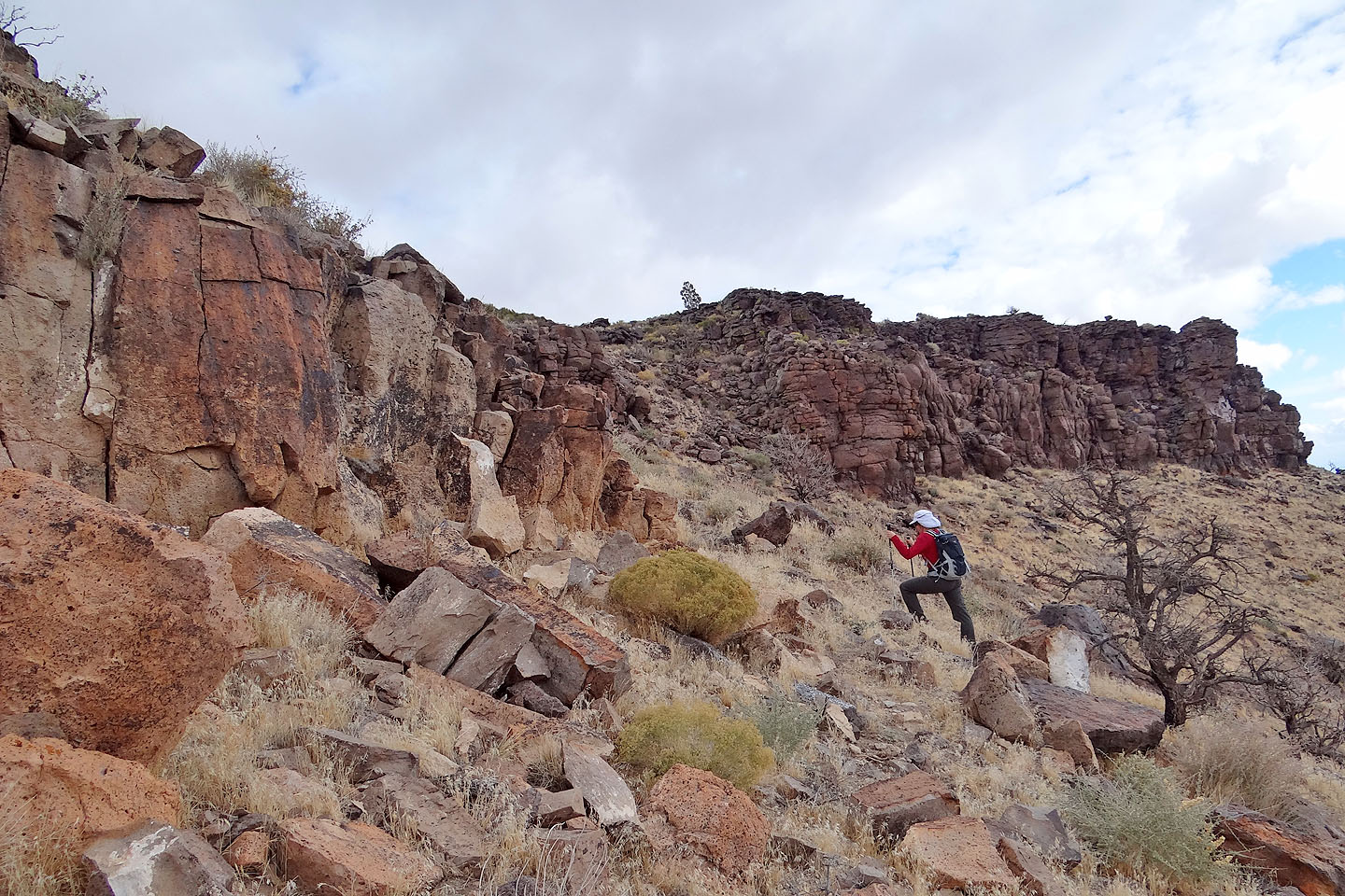
On the south side, we find a break in the cliff band
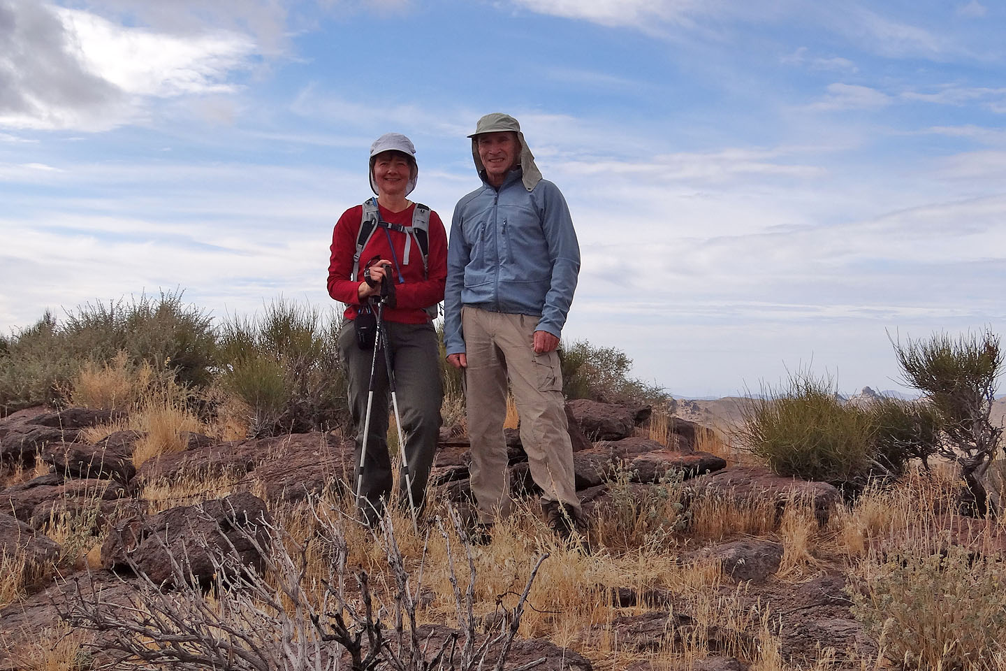
On the summit
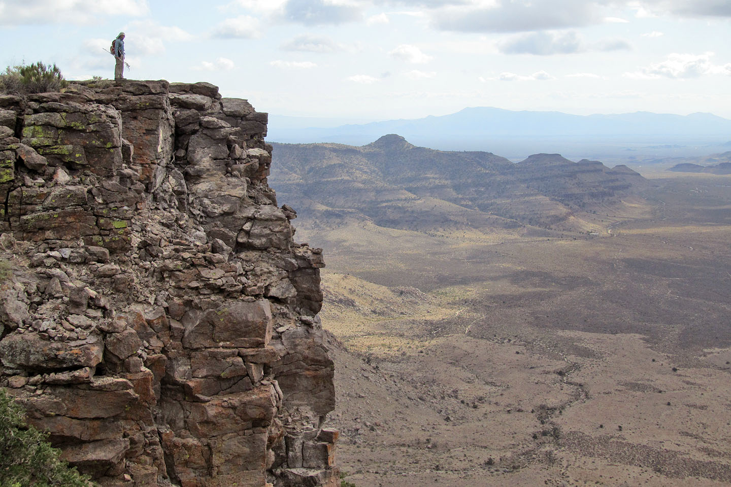
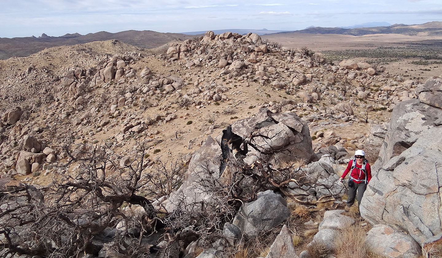
Exploring farther along the ridge (mouse over to look back). Woods Mountain in the background.
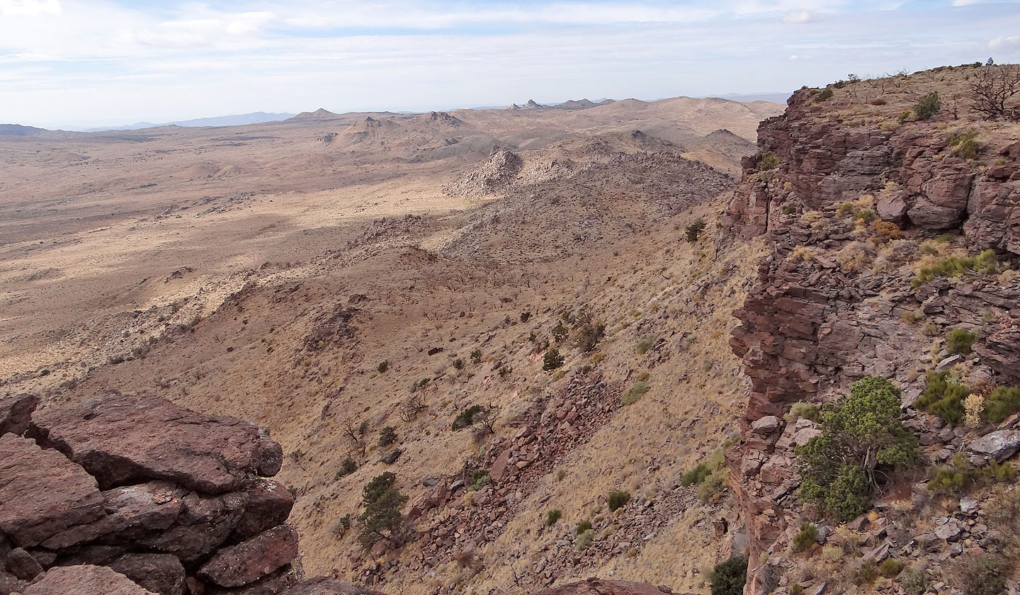
Looking back along the ridge
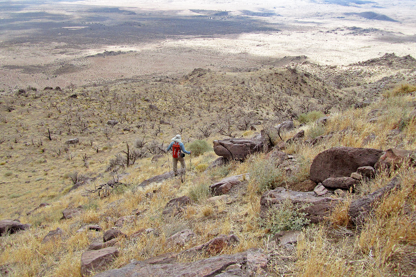
Heading down to the desert flats
Looking up at the summit (left) and the break next to it
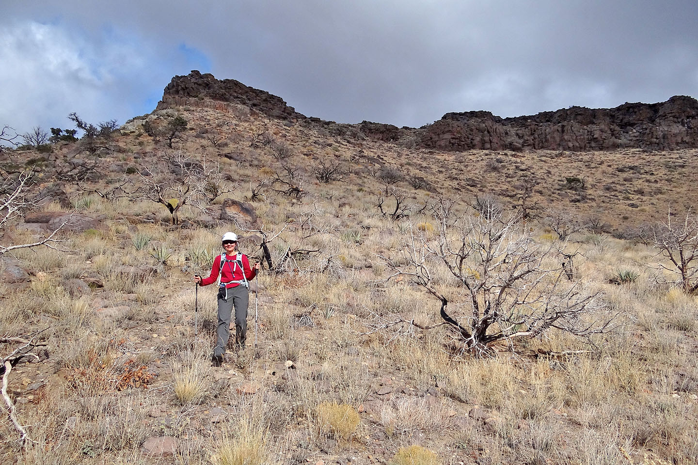
Delightful scenery on the way down
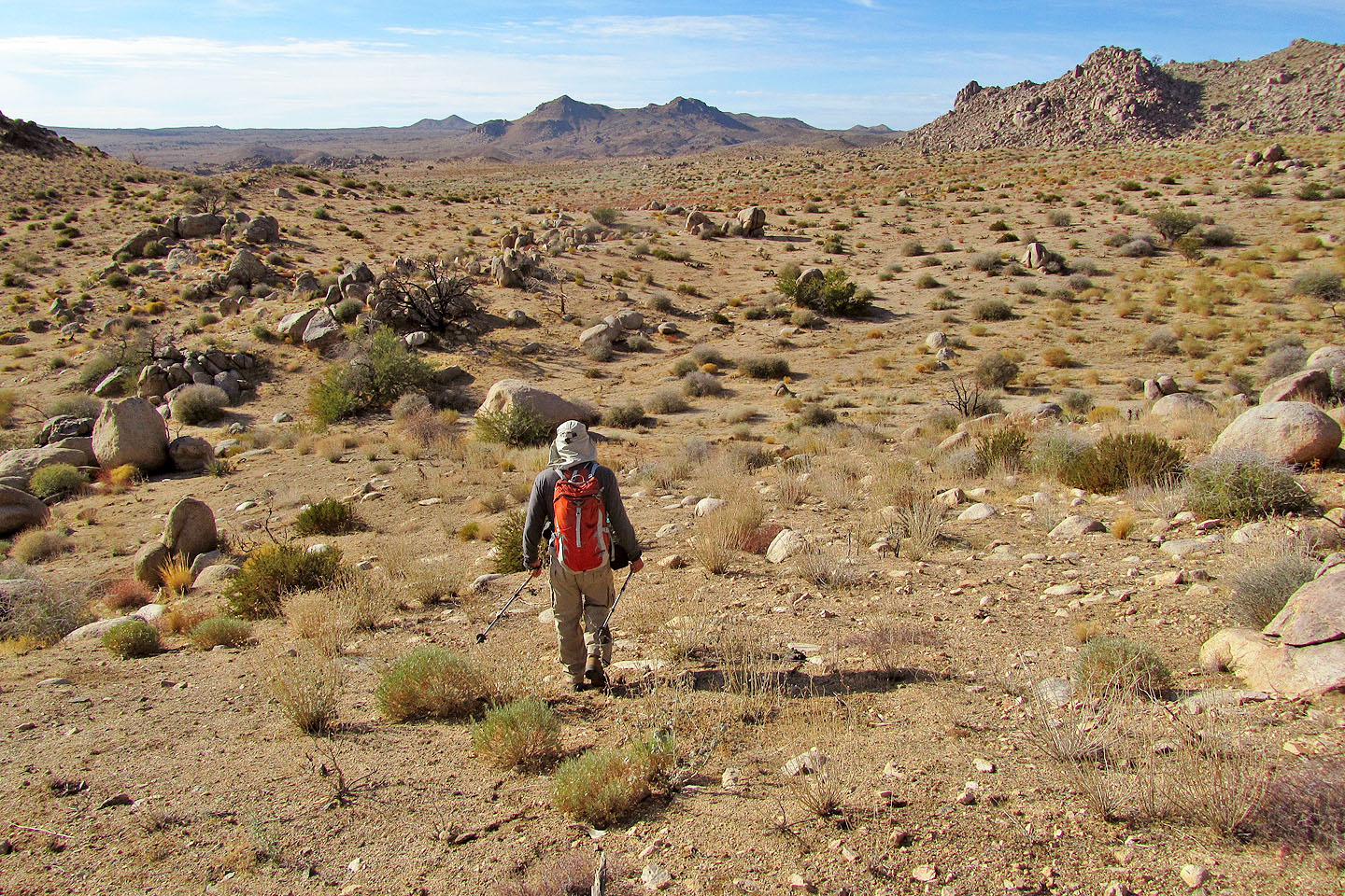
Starting across the flats
Unusual rocks abound
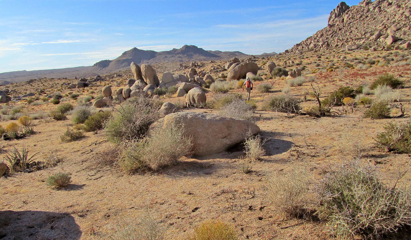
Going through the boulder-strewn flats
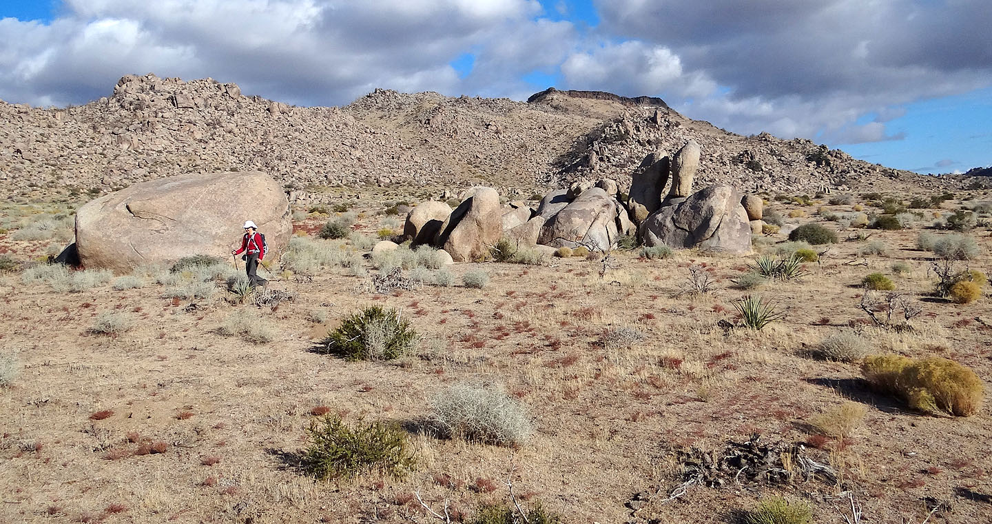
Table Mountain is far behind us now
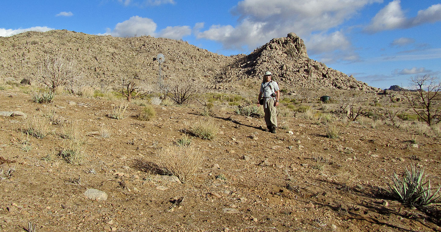
Back at the windmill
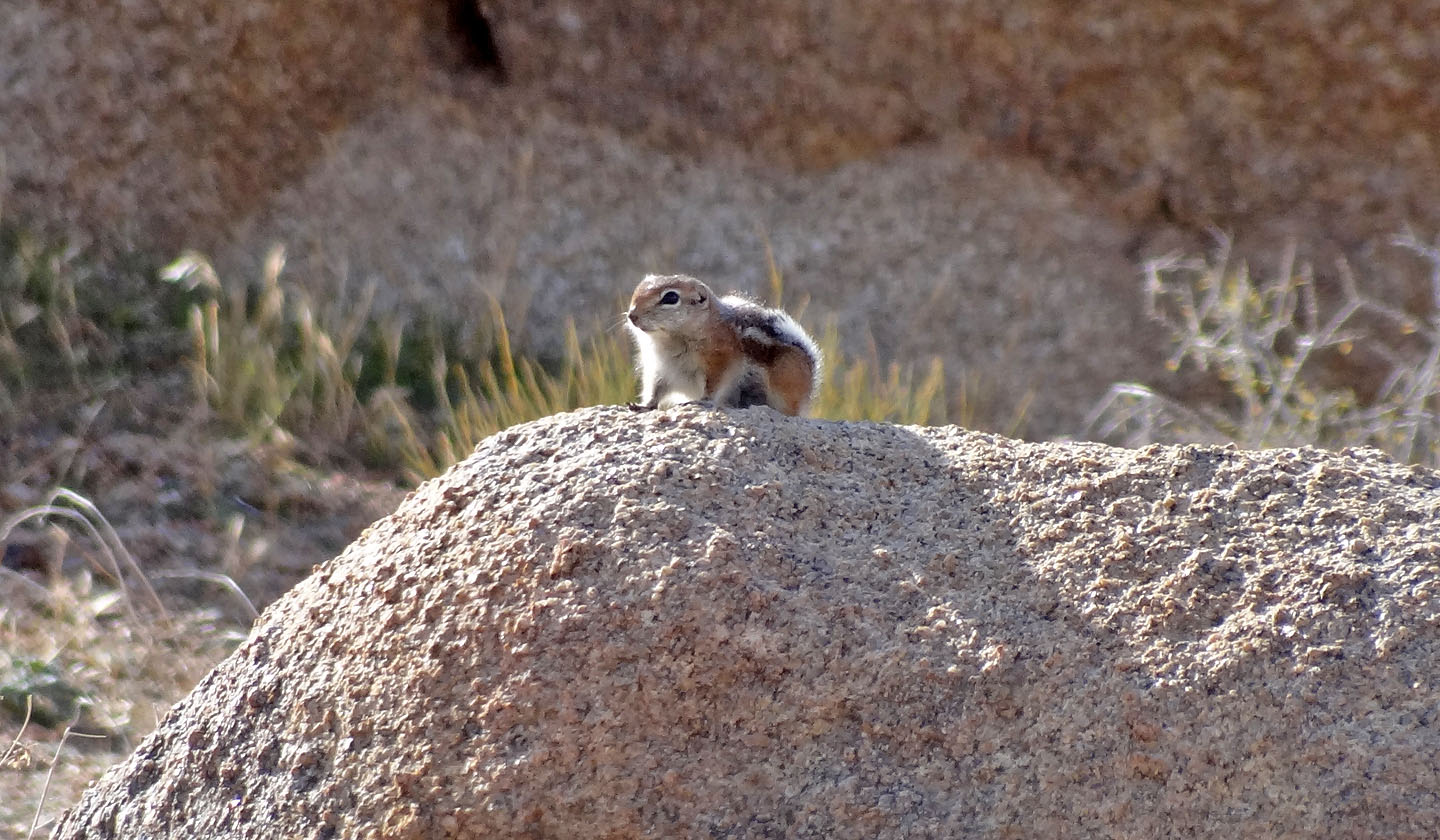
We saw several antelope squirrels perched atop boulders
Columbia Mountain, Woods Mountain (6.2 mi, 6132 ft, 968 ft)