bobspirko.ca | Home | Canada Trips | US Trips | Hiking | Snowshoeing | MAP | About
Wild Burro Spur
Marana, Arizona
February 22, 2024
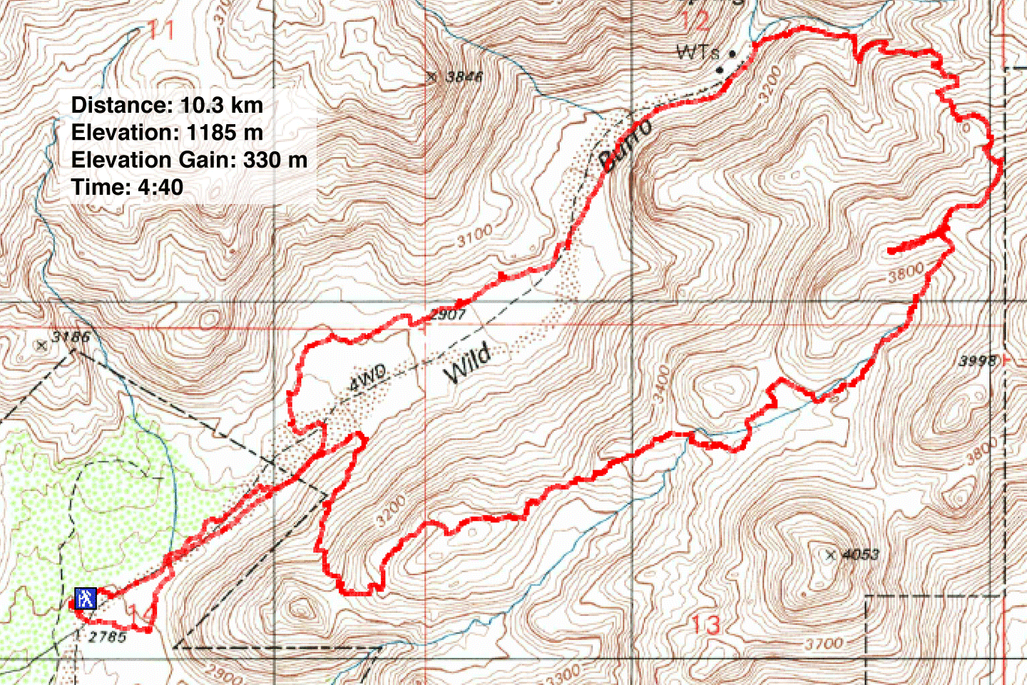
Distance: 10.3 km (6.4 mi)
Cumulative Elevation Gain: 360 m (1181 ft)
Wishing to see javelinas near Tucson, I went through photos on Alltrails, scouring hikes around the city. I noticed them on one trail: Wild Burro Trail and Alamos Springs Loop. The animals appeared in the valley that Wild Burro Trail follows. Alamo Springs Trail completes the loop, climbing above the valley.
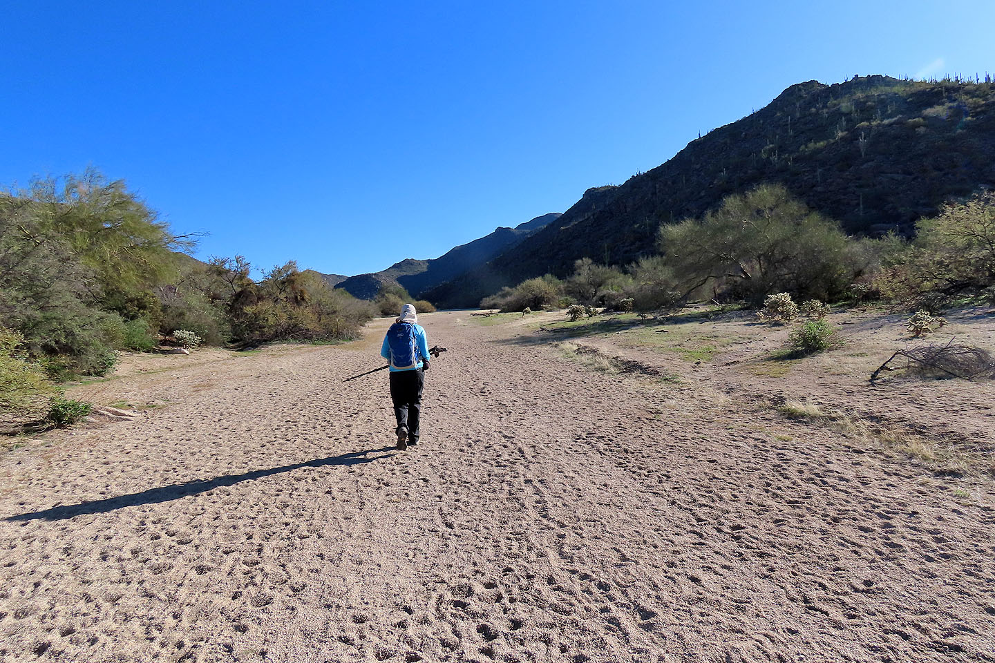
The trailhead is at the south end of the parking lot, although we reached the trail quicker by taking a shortcut. The trail follows a broad wash lined with trees and bushes. Walking down the trail, we searched for javelinas. We saw birds and rabbits and plenty of javelina tracks in the gravel bed, but no javelinas.
At the end of the valley, we turned on Alamo Springs Trail and started climbing. When we reached the highest point on the trail, we turned off to ascend a small hilltop. However, being surrounded by higher points, there was little to see, perhaps not worth the effort of going over rocks and pushing through scrub and cacti to reach it. We soon returned to the trail.
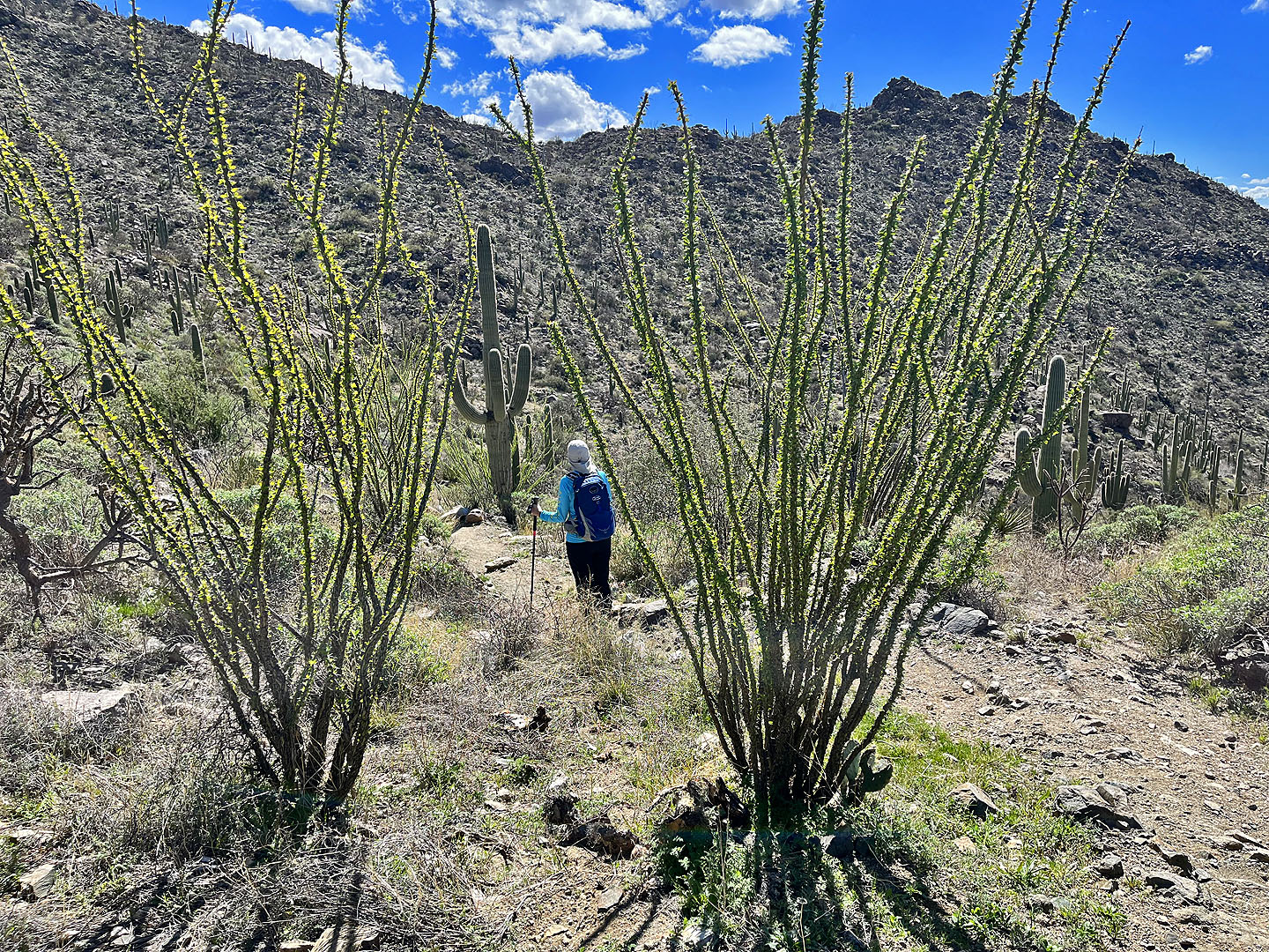
Continuing down the trail, there was a noticeable shift in desert scenery. It was prettier than what we saw elsewhere with desert plants nicely displayed. The trail eventually drops down and returns to the valley.
Even though we didn't spot a javelina, we enjoyed the hike. There was much to see with lots of fine scenery. And our luck changed when, three days later, we climbed an obscure, little peak and saw four of the elusive critters.
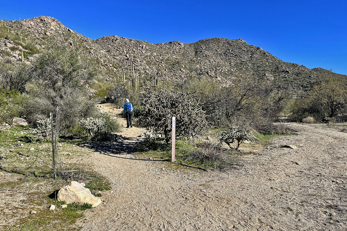
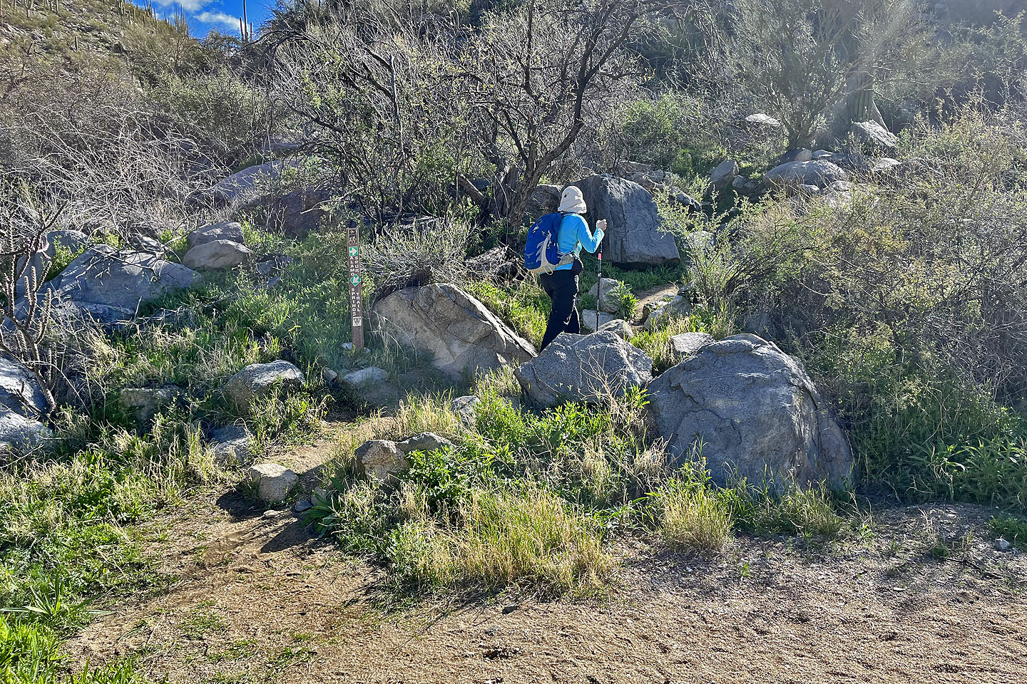
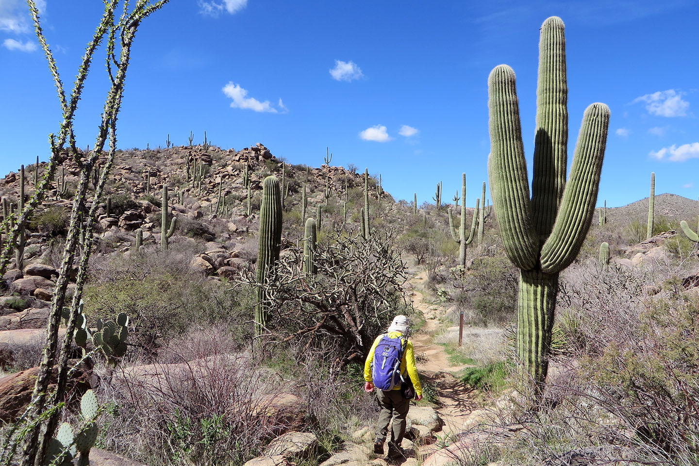
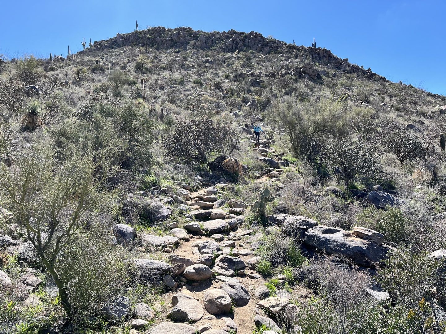
 Starting up the trail
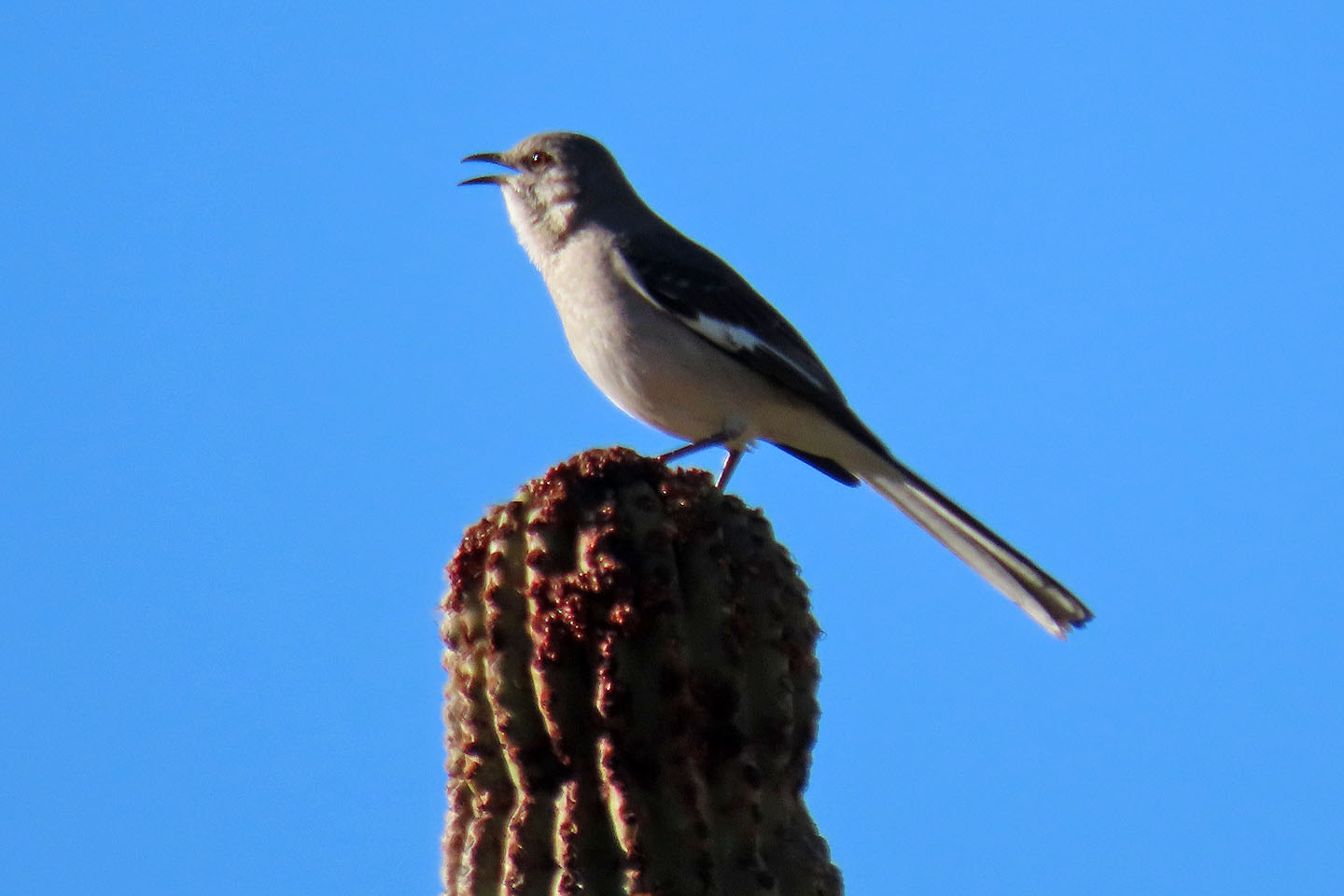 Northern mockingbird perches on a saguaro
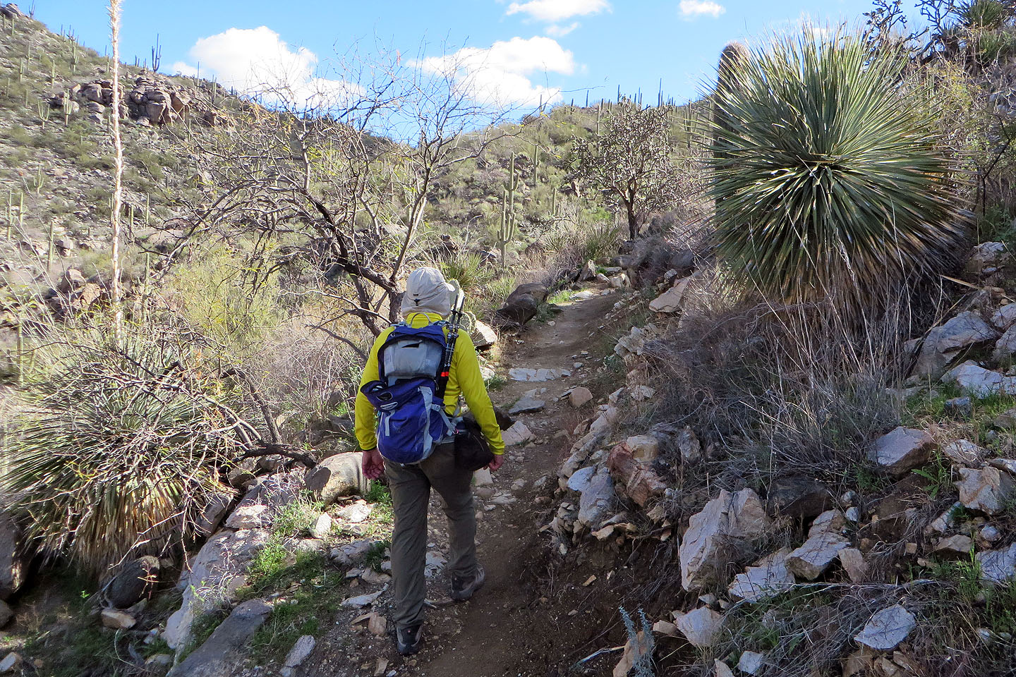
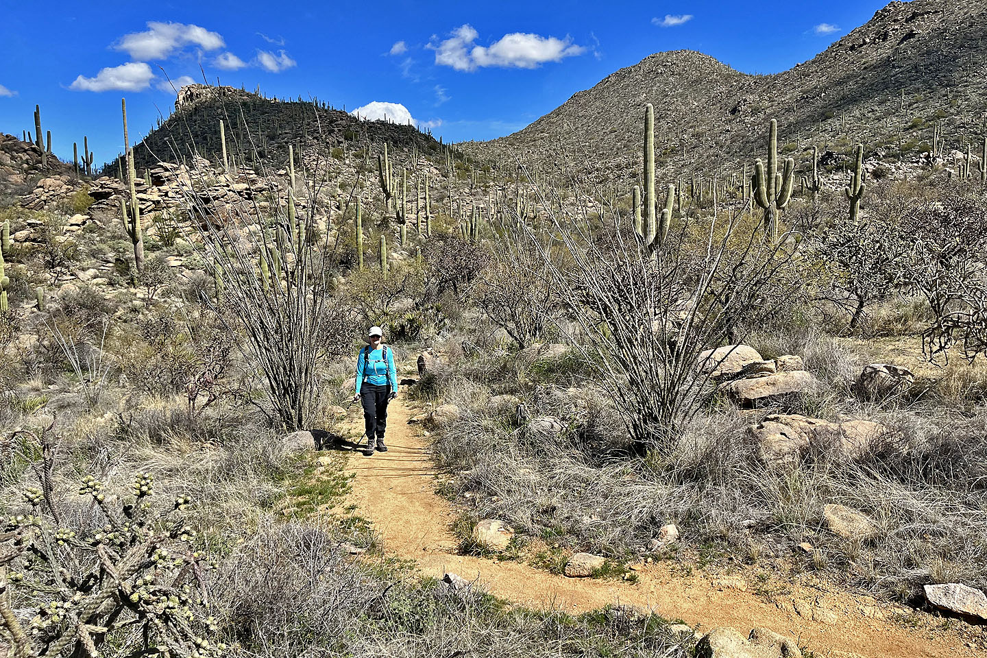
 Continuing on Wild Burro Trail
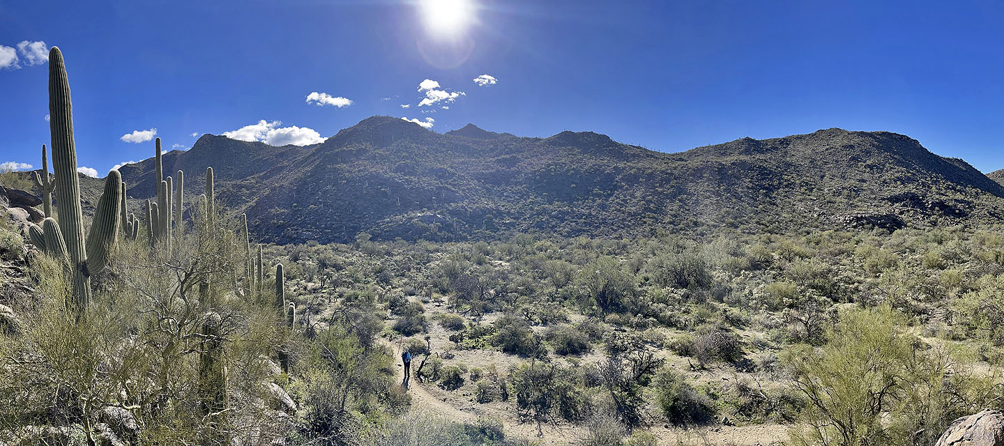
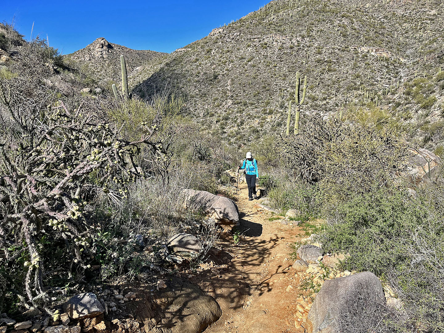
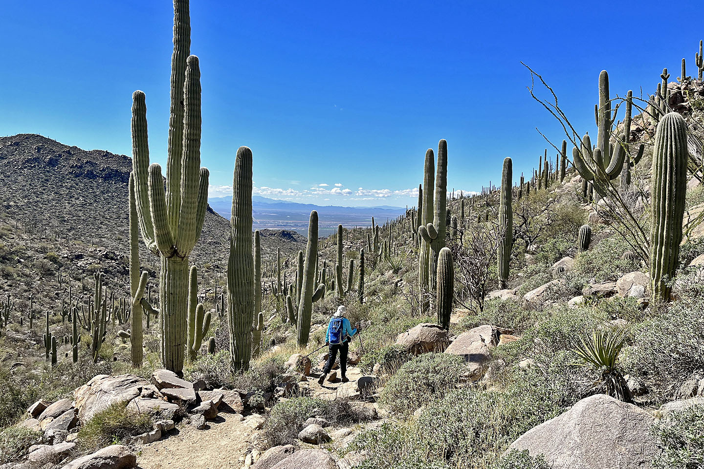
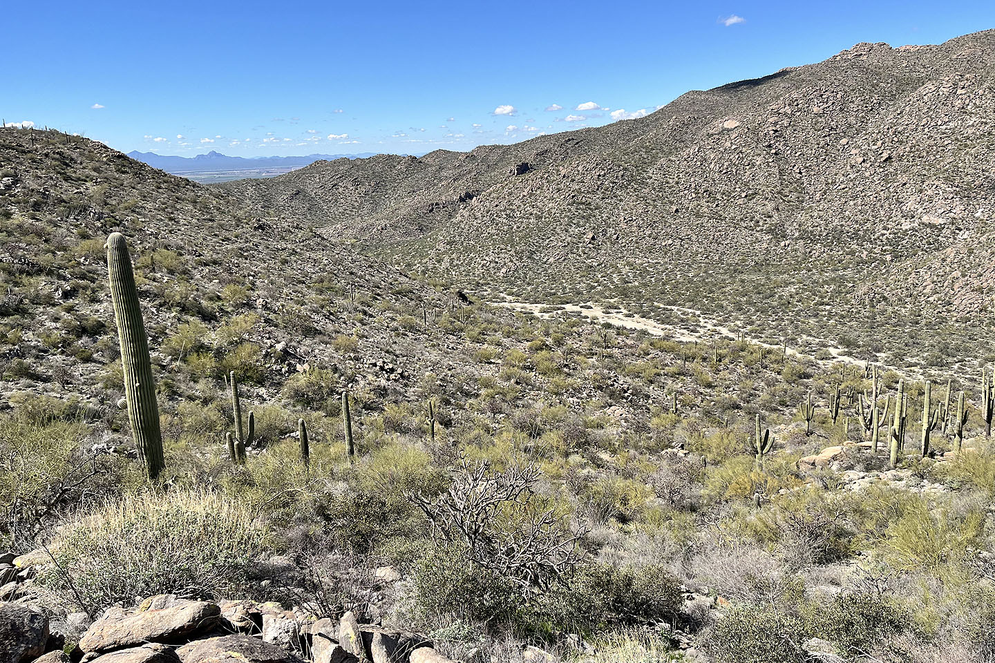
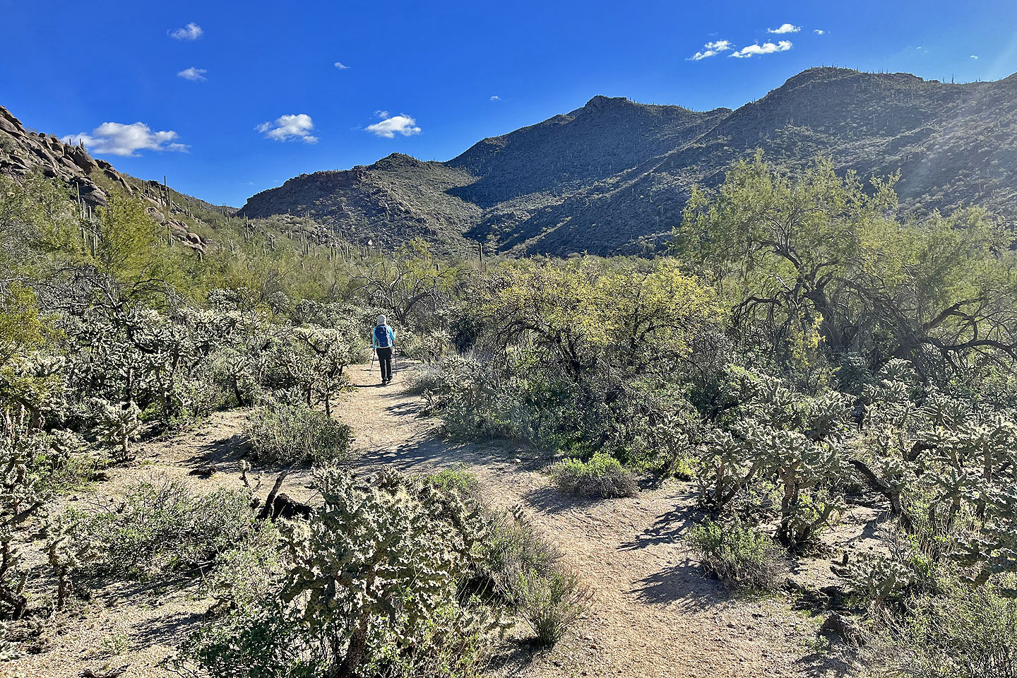 The trail follows a broad valley
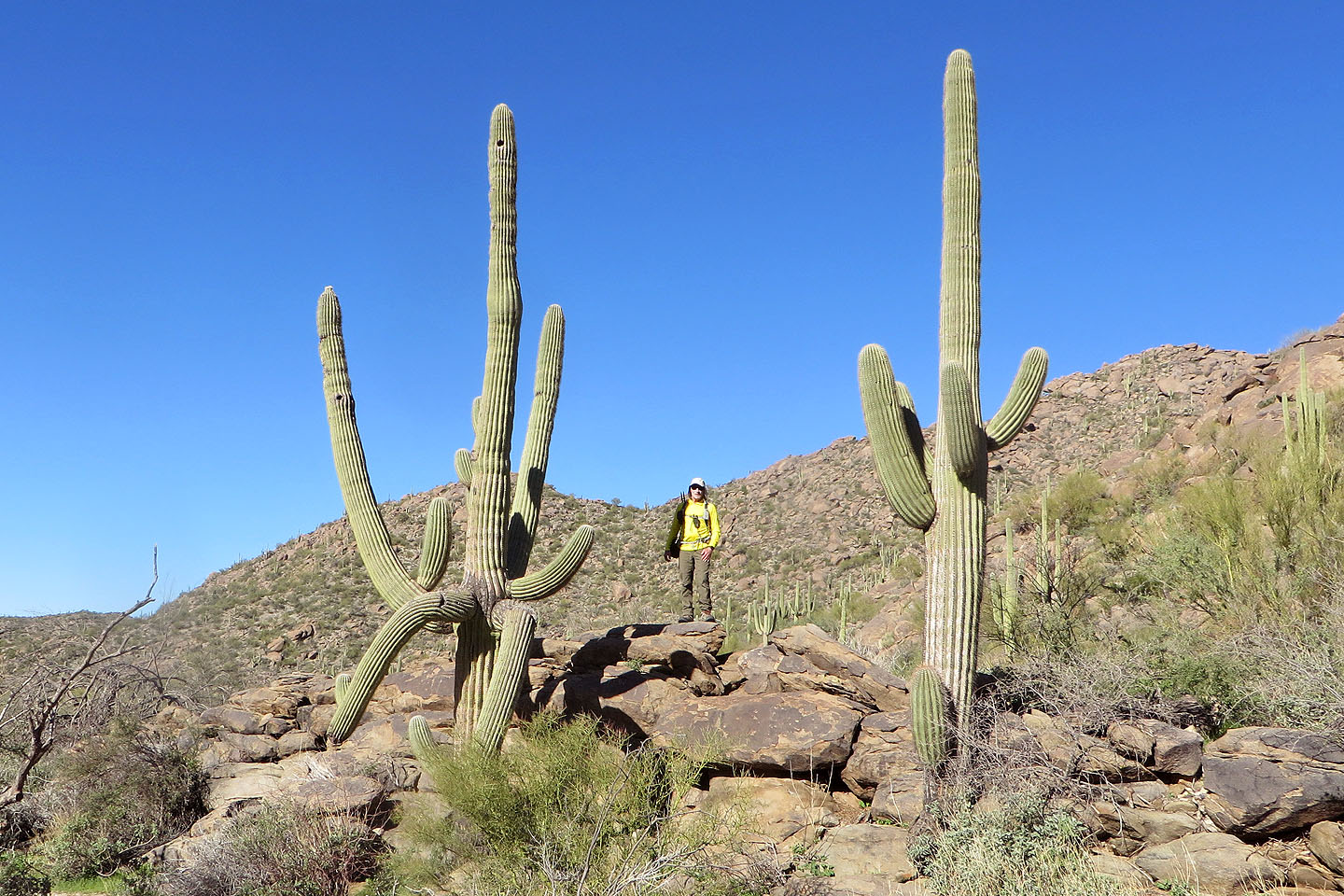 I climbed some rocks to look around
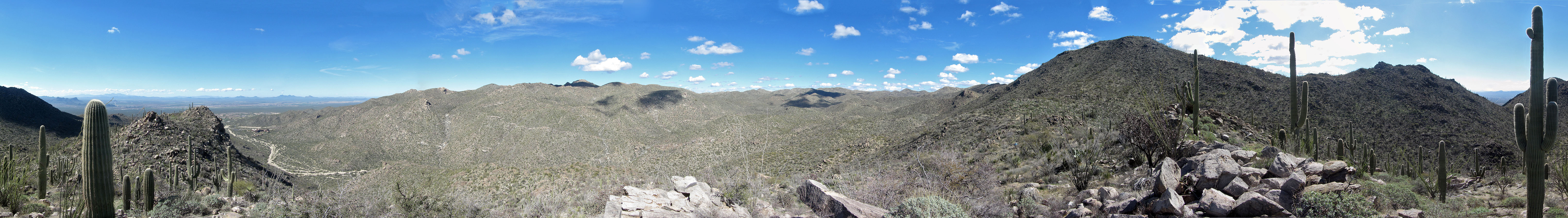
View of the valley
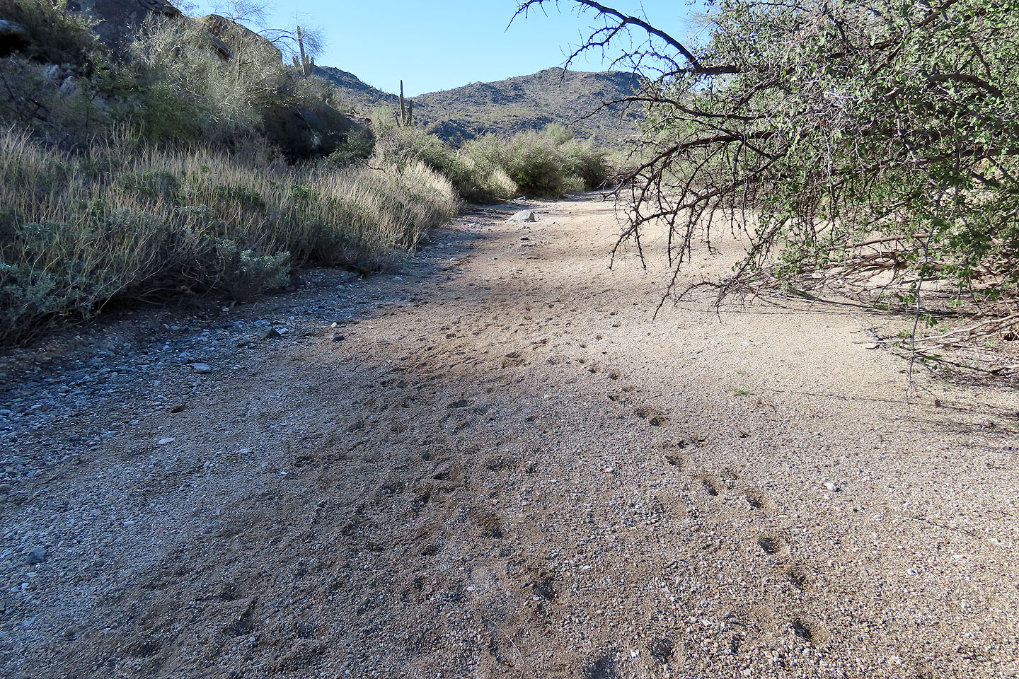 The tracks on the right are probably from a javelina
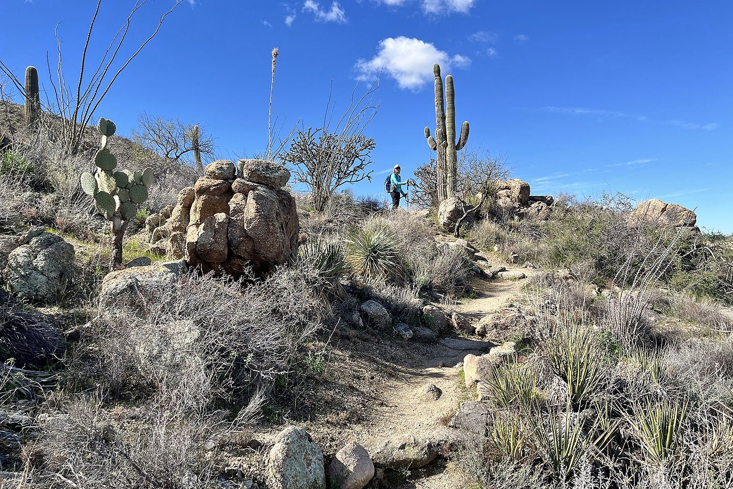
 Near the end of the valley, we turned onto Alamo Springs Loop
 The bushy plant on the right is a sotol
 Purple chain cactus on the left with fruit (mouse over for a close-up)
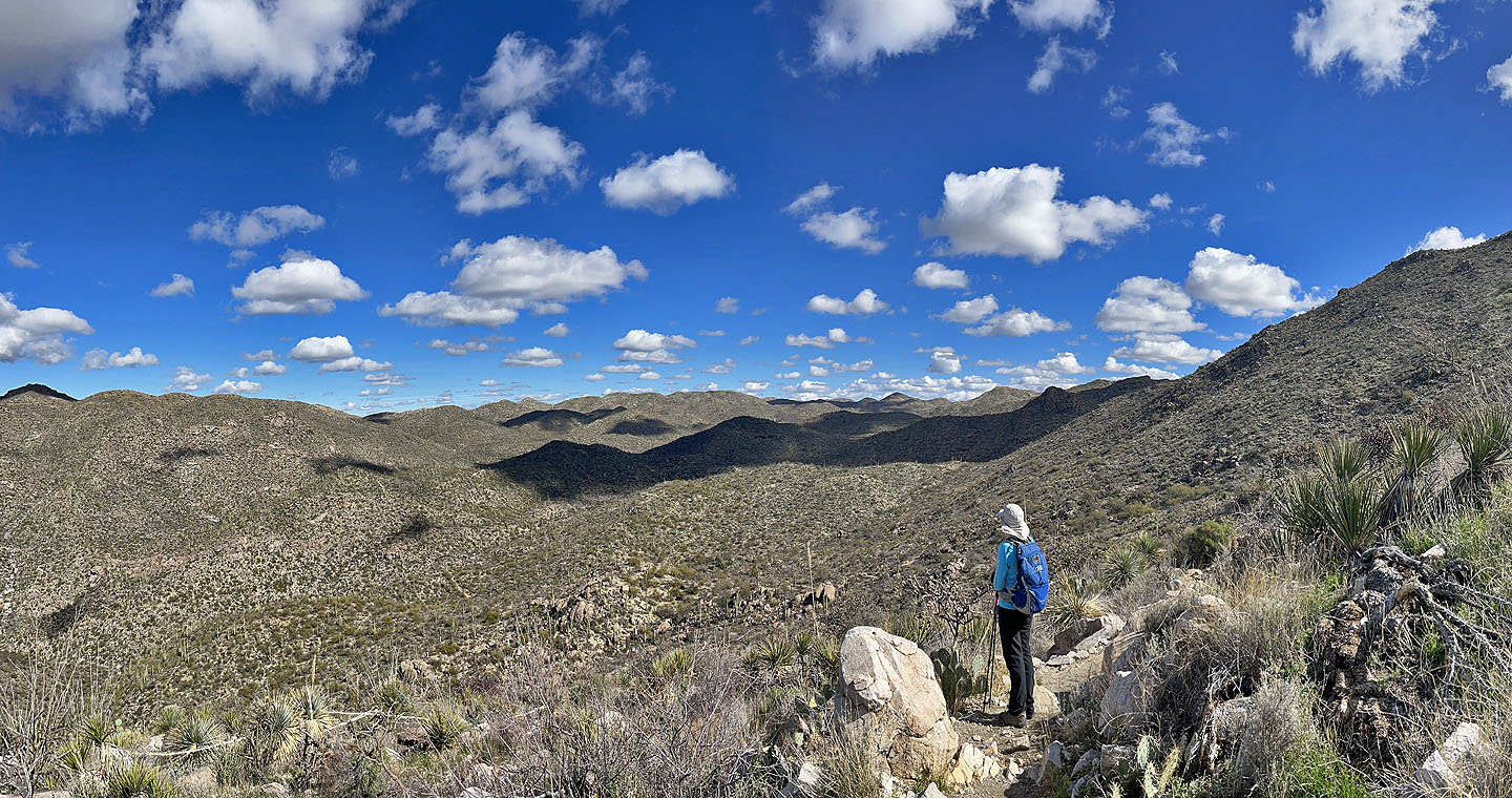
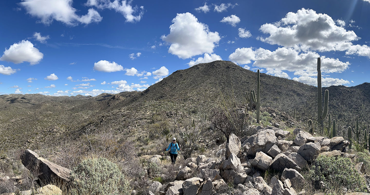
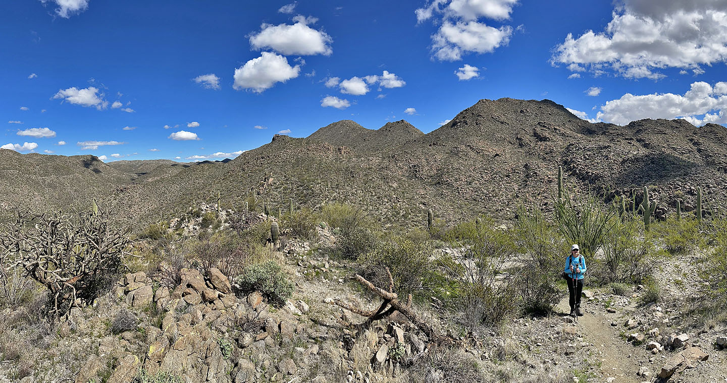
 The ridge opened up as we climbed
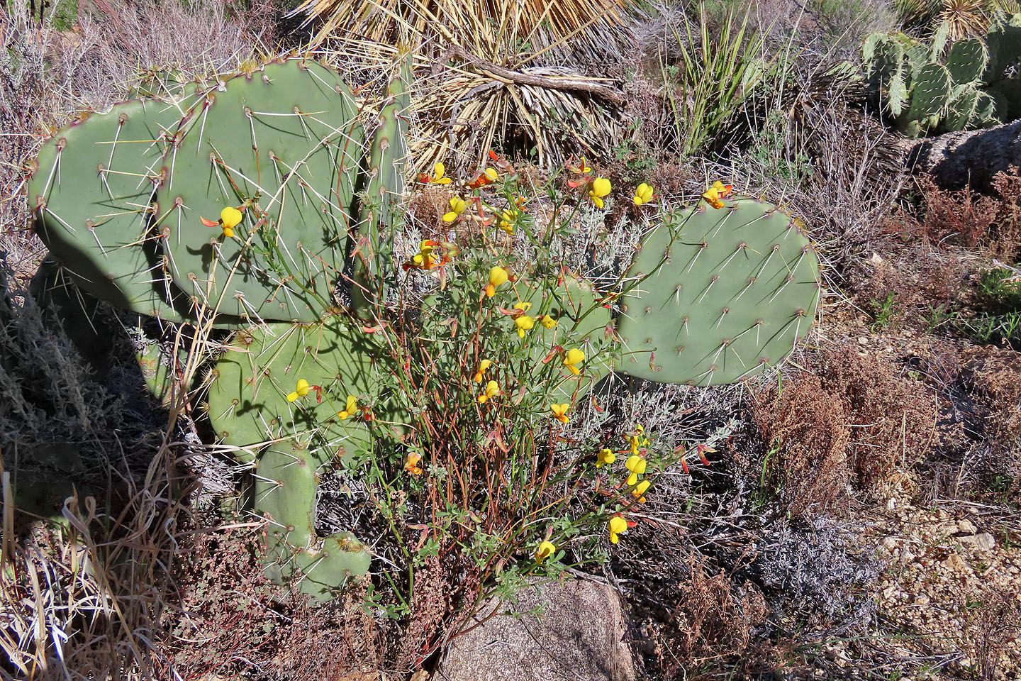 Califlora wildflowers share a space with a prickly pear cactus (mouse over for a close-up)
 Looking back
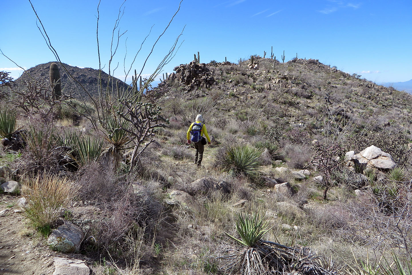 Heading to our high point
 Looking back from the high point
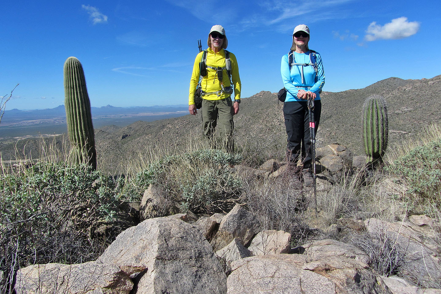 Standing on top
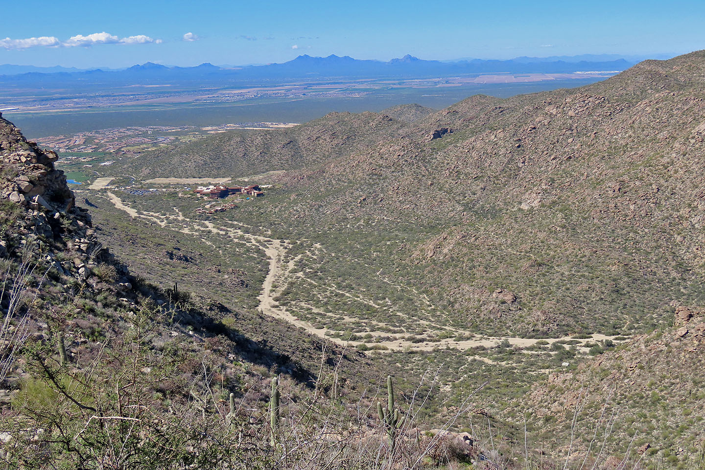 Looking down at the valley we hiked through
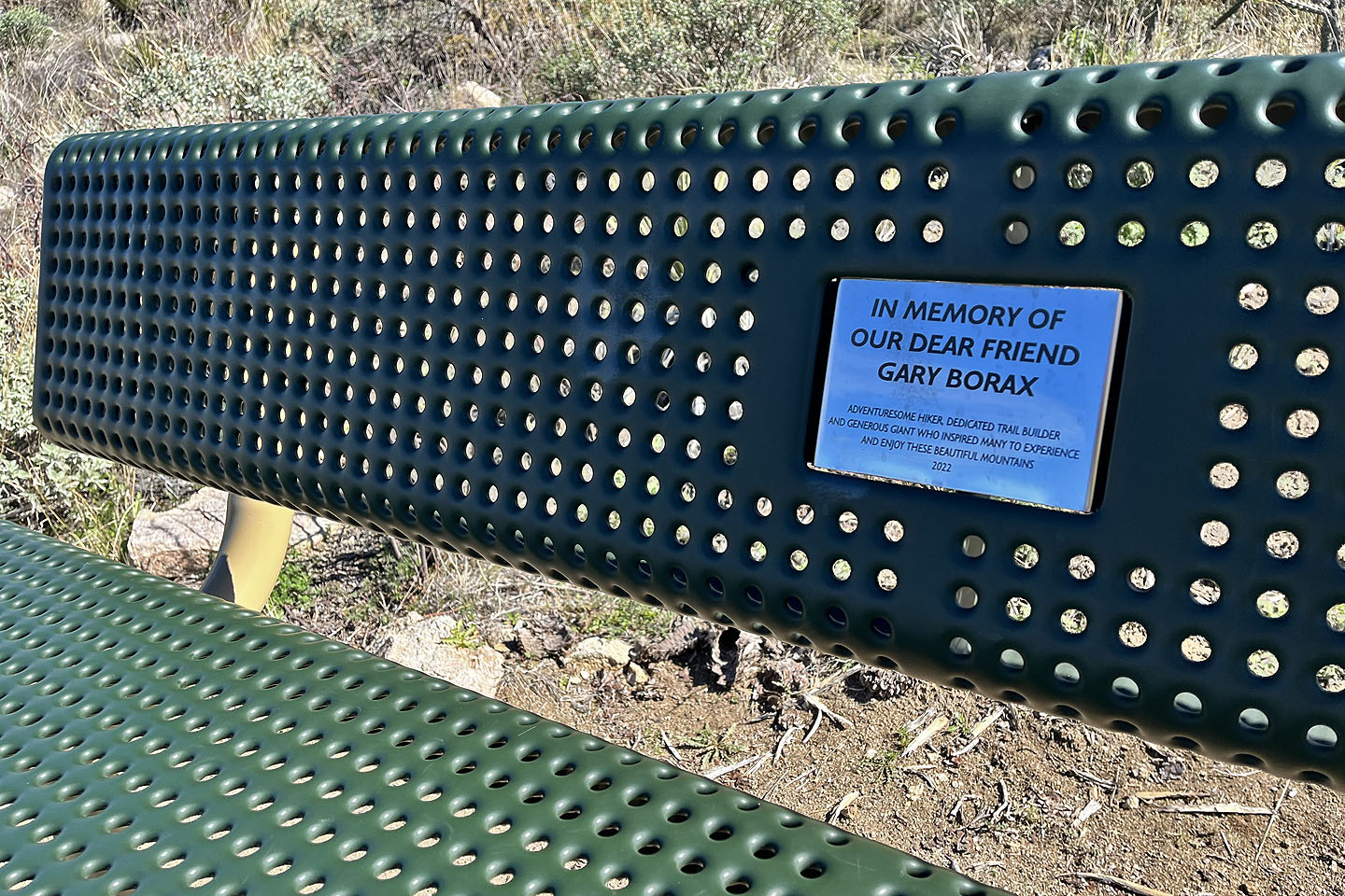 Returning to the trail, we had lunch on this bench. Coincidentally, while sitting on the bench, a couple passed by who said they knew the man.
 We continued along the trail
 The descent trail was more scenic than the ascent trail
 Looking back
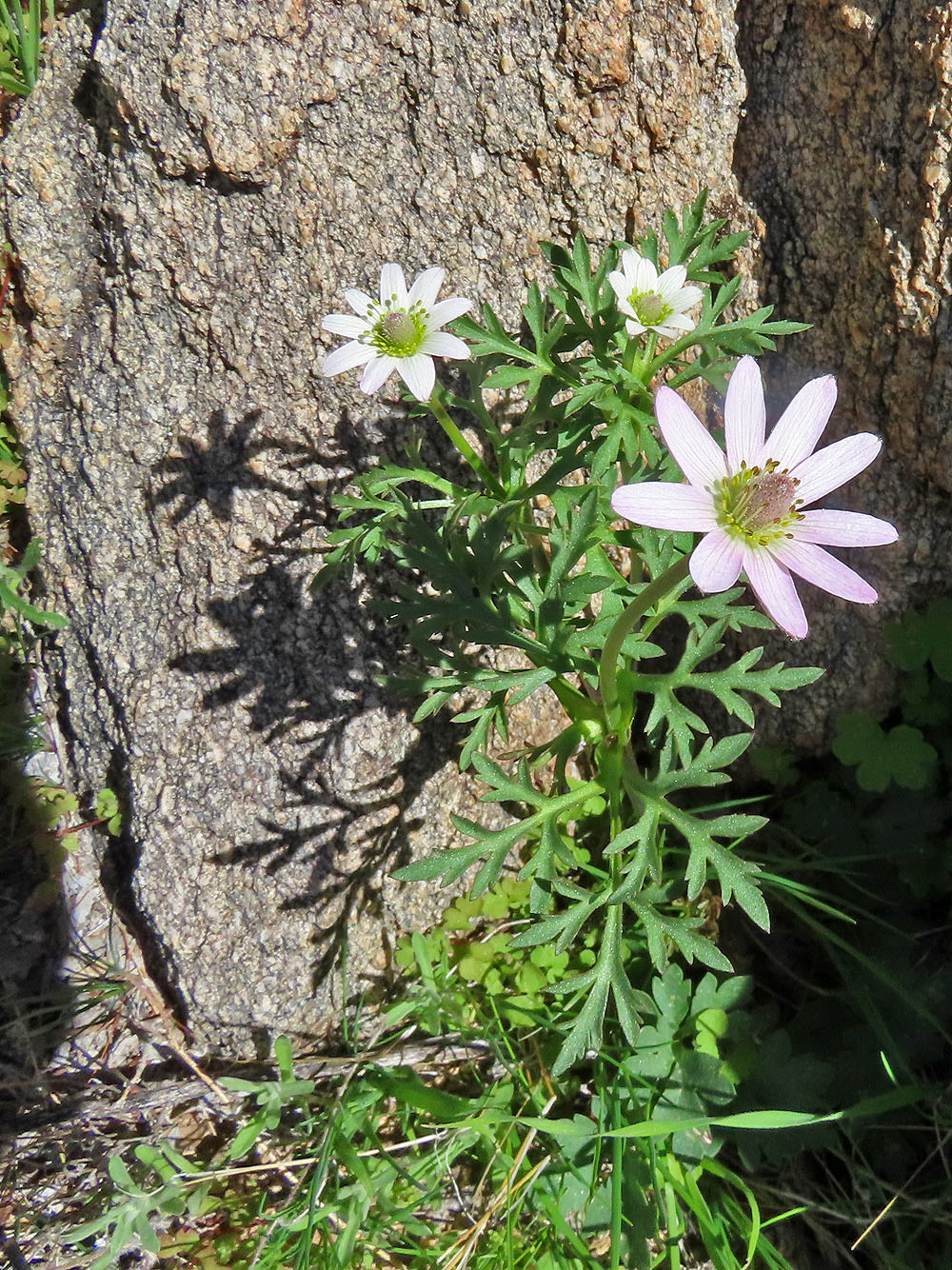
Anemone tuberosa
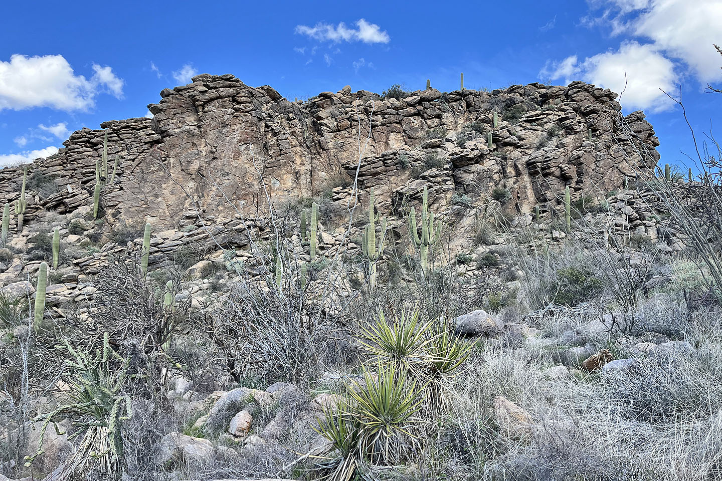 According to the sign, this is an example of the Tortolitas Mountains (mouse over)
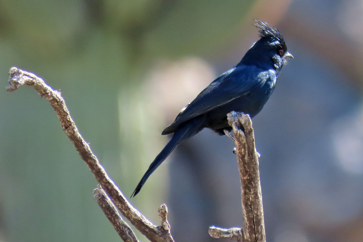 Phainopepla
 I thought the trail would return to the valley here, but it continued along the ridge
 Instead, the trail went over a bump
 Looking back from the bump
 Finally the path descends to the valley
 Ruelas Canyon (6.4 mi, 3888 ft, 1081 ft)