bobspirko.ca | Home | Canada Trips | US Trips | Hiking | Snowshoeing | MAP | About
Guindani Ridge
Kartchner Caverns State Park, Arizona
March 2, 2024
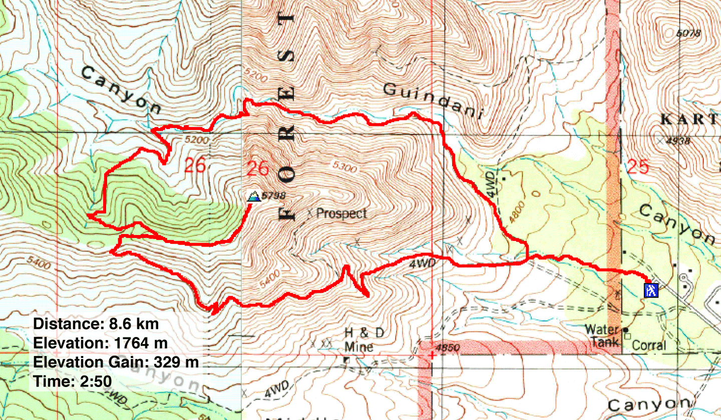
Distance: 8.6 km (5.3 mi)
Cumulative Elevation Gain: 334 m (1096 ft)
For something different, Dinah and I drove an hour south from Tucson to Kartchner Caverns State Park. We weren't there to visit the caverns but to hike Guindani Loop Trail. Specifically, I wanted to climb the unnamed ridge that the trail circles. I called it Guindani Ridge.
We also chose this area to escape the hot weather expected in Tucson that day. The trailhead was higher than any peak we had climbed around the city, and the higher elevation guaranteed cooler temperatures. Also, the higher elevation meant a change in scenery. While cacti dominate the slopes around Tucson, here, trees and grass prevail.
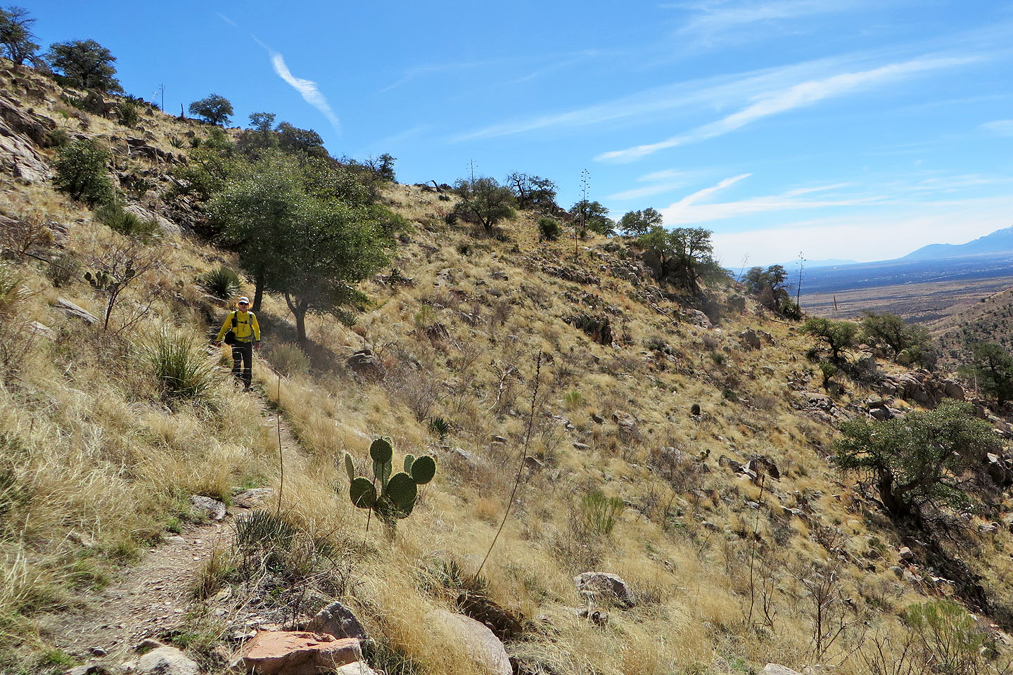
We started down the trail through a forest of bare trees. After walking 600 m, we reached a fork, the beginning of the loop, and turned left. The trail soon began climbing a grassy slope. Behind us, far-reaching views revealed mountains in Mexico.
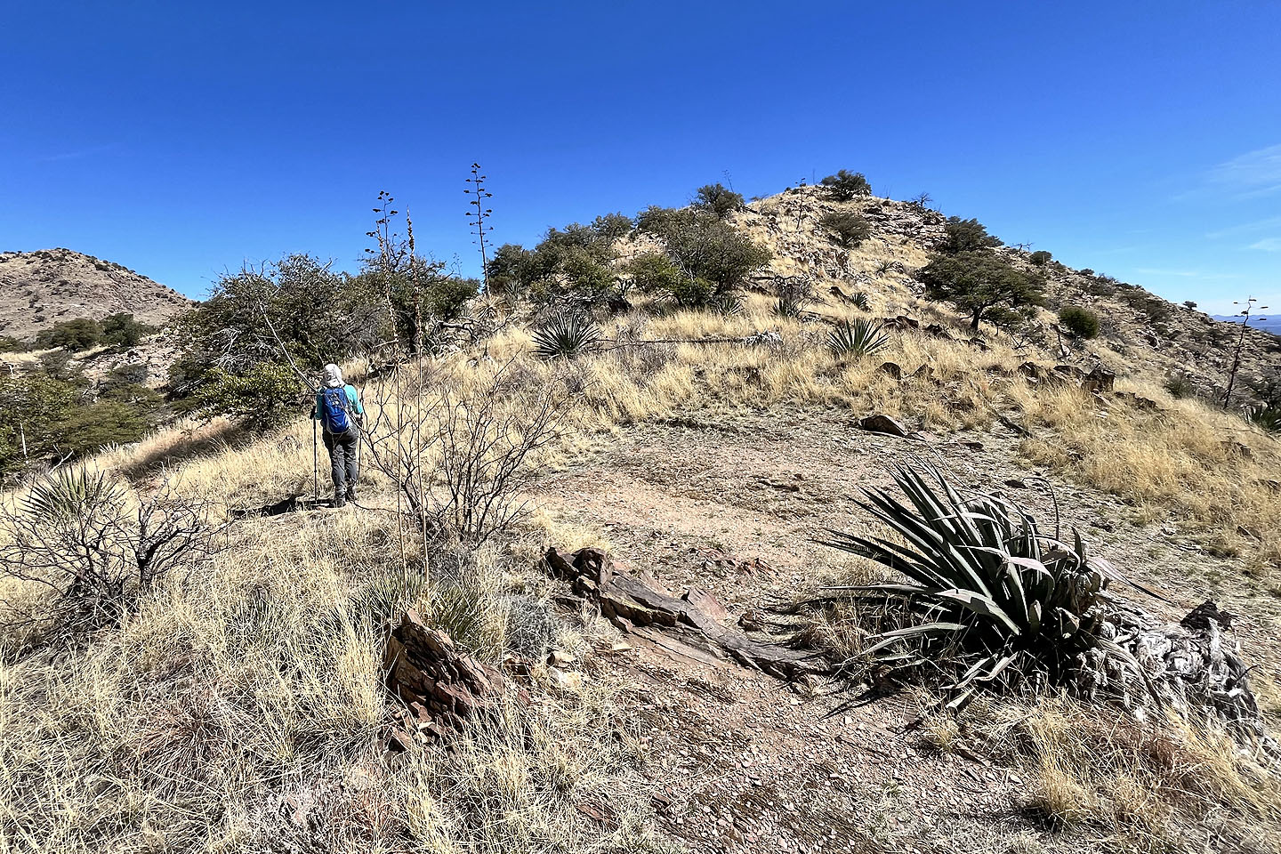
After going through a cattle gate, we saw the pass, the highest point on Guindani Loop. It was also where we would leave the trail and climb Guindani Ridge. We followed the trail to the pass.
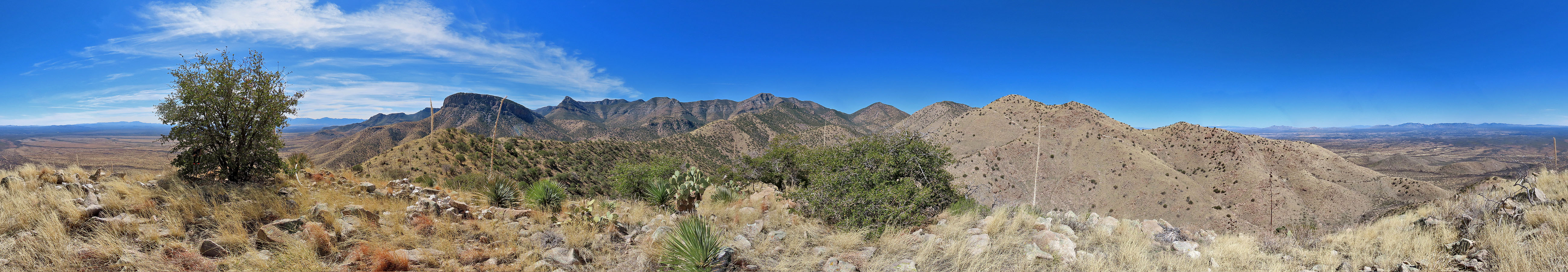
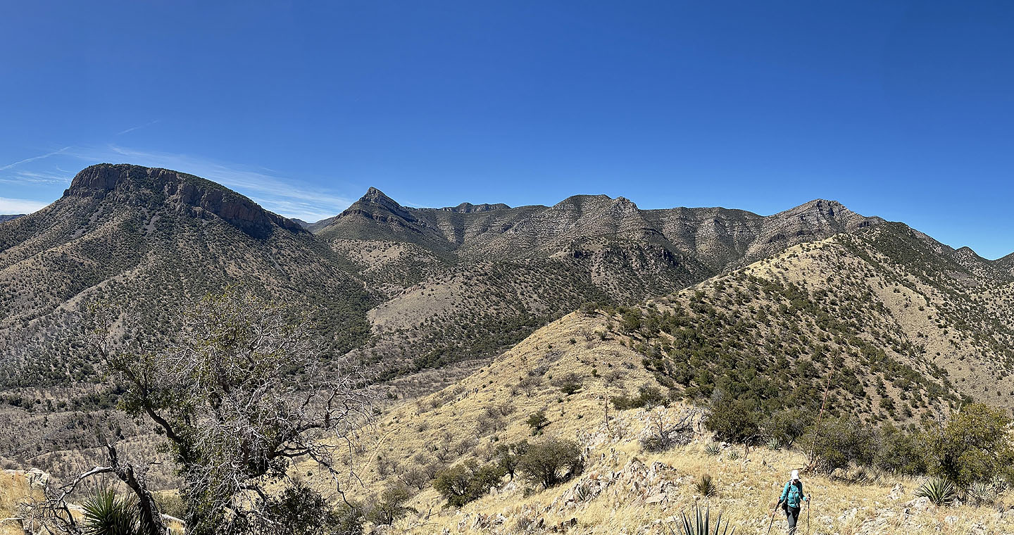
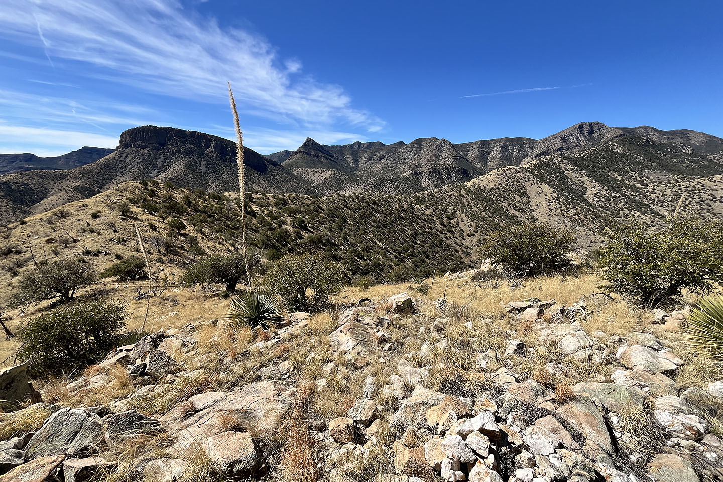
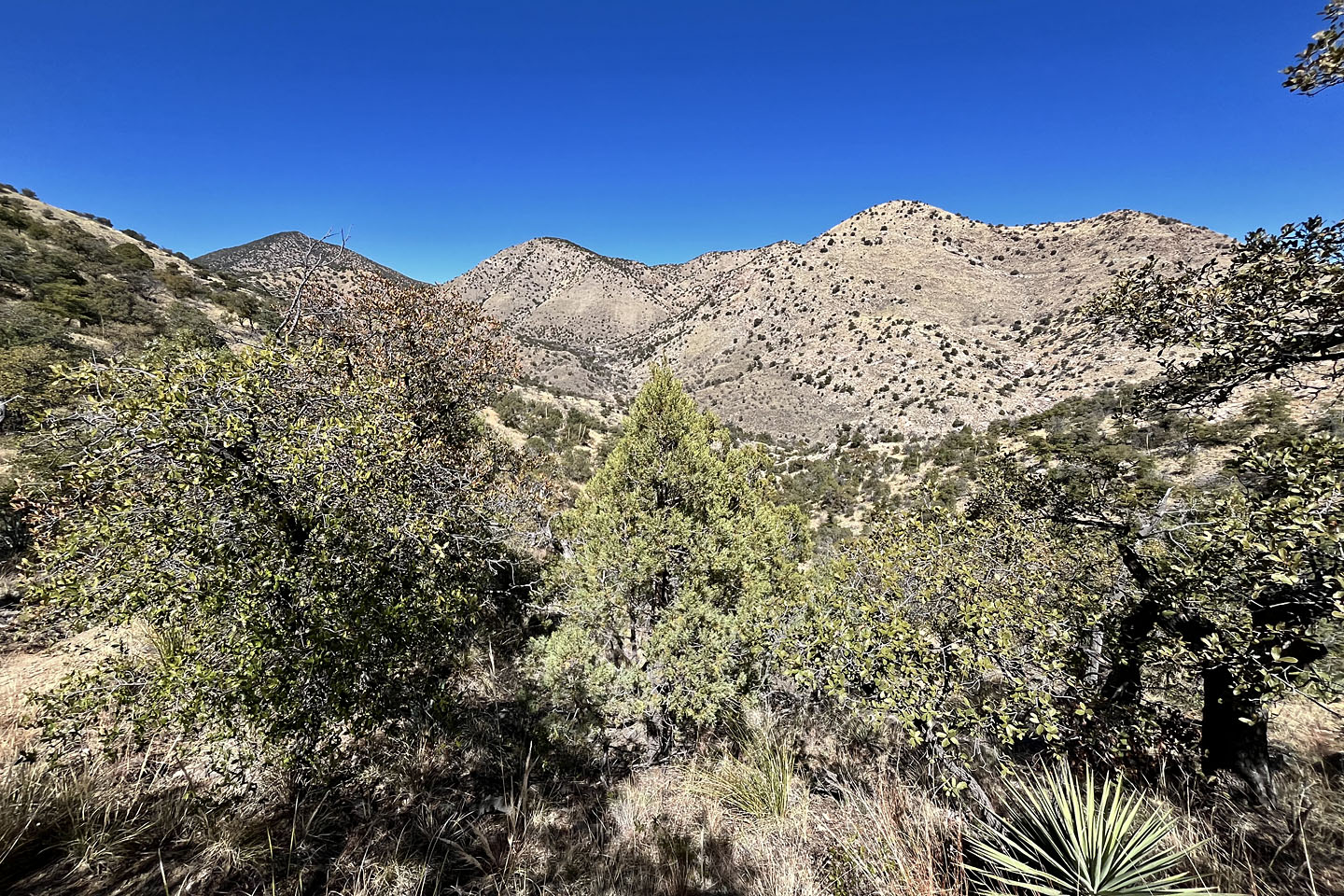
On the pass, we started up the ridge, going around trees and the odd cactus, and hiking over rocks. But Dinah didn't like the off-trail hike, so she turned around. She would continue down the loop. I pushed on to the summit and soon reached it. The ridgetop provides better views than anything found along Guindani Loop. I viewed nearby Cottonwood Peak and The Cap, peaks in the Whetstone Mountains. I took several photos before turning around.
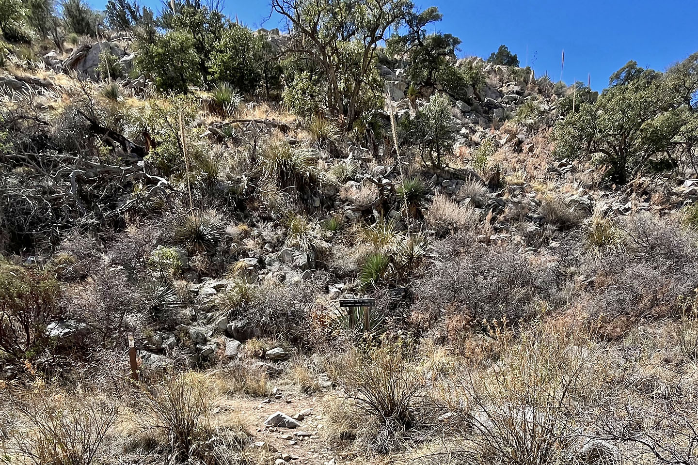
I followed most of the ridge back before veering off our ascent route hoping to find a shortcut. It wasn't shorter, but I found a trail leading back to Guindani Loop where it passes through another gate.
Back on the loop, I followed it as it dropped down to a valley before turning and entering Guindani Canyon. The trail was rougher here and crossed a shallow stream a few times. I continued to the fork and caught up to Dinah just before the parking lot. We enjoyed the landscape here, not to mention the cooler temperatures. It's an area worth exploring further.
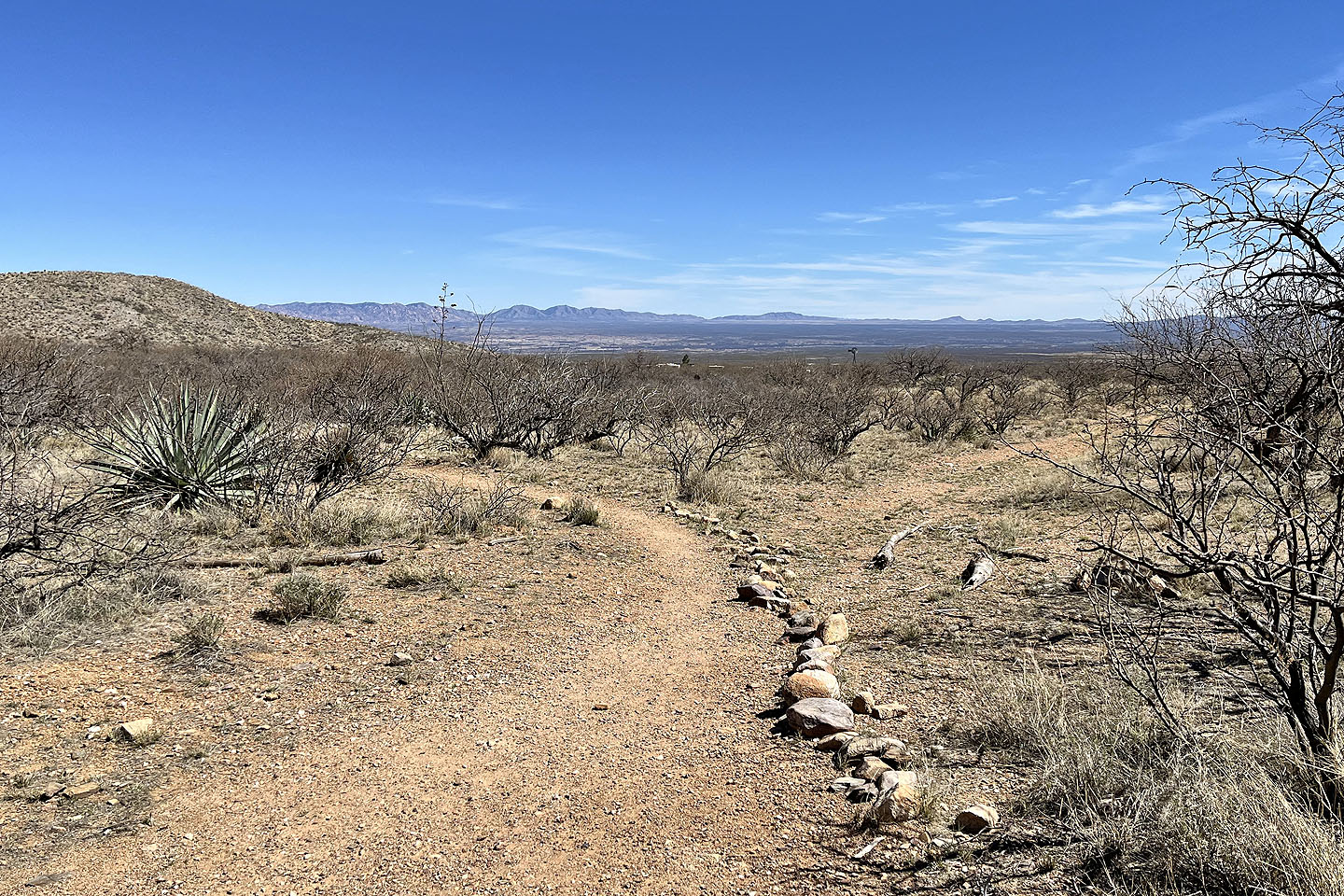
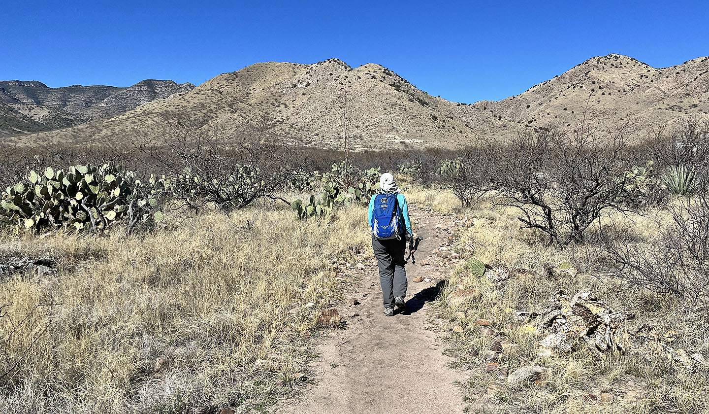 Starting down the trail with Guindani Ridge in front of us
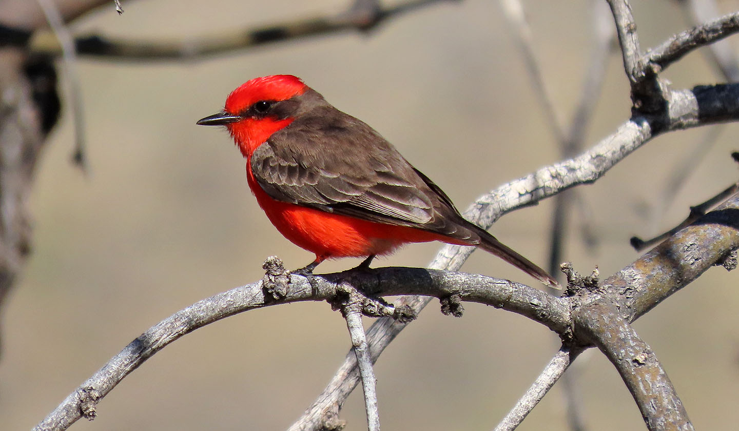 Vermillion flycatcher
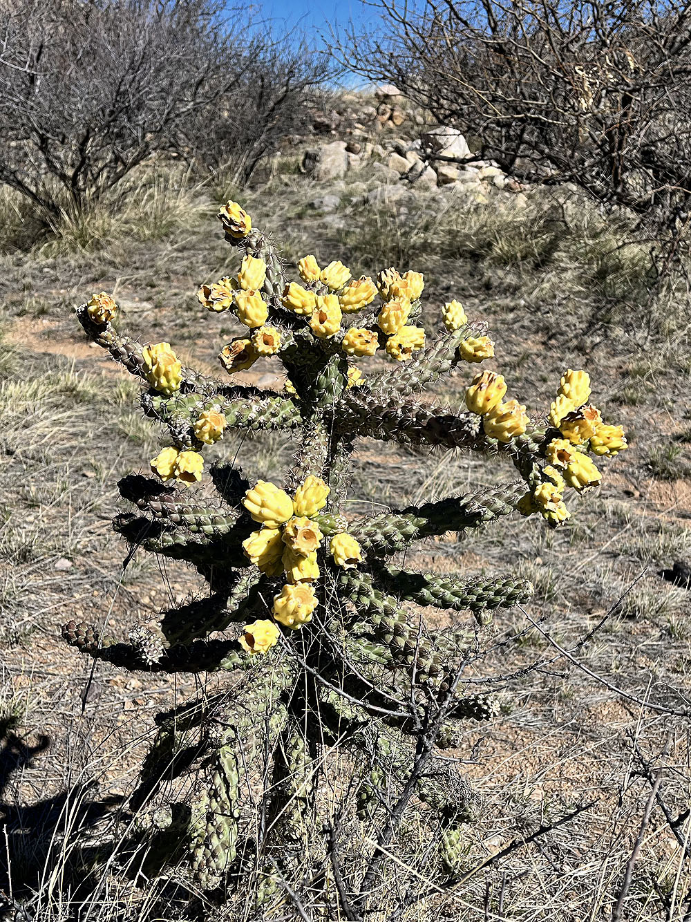
Cholla with fruit
 We turned left at the fork, the beginning of the loop
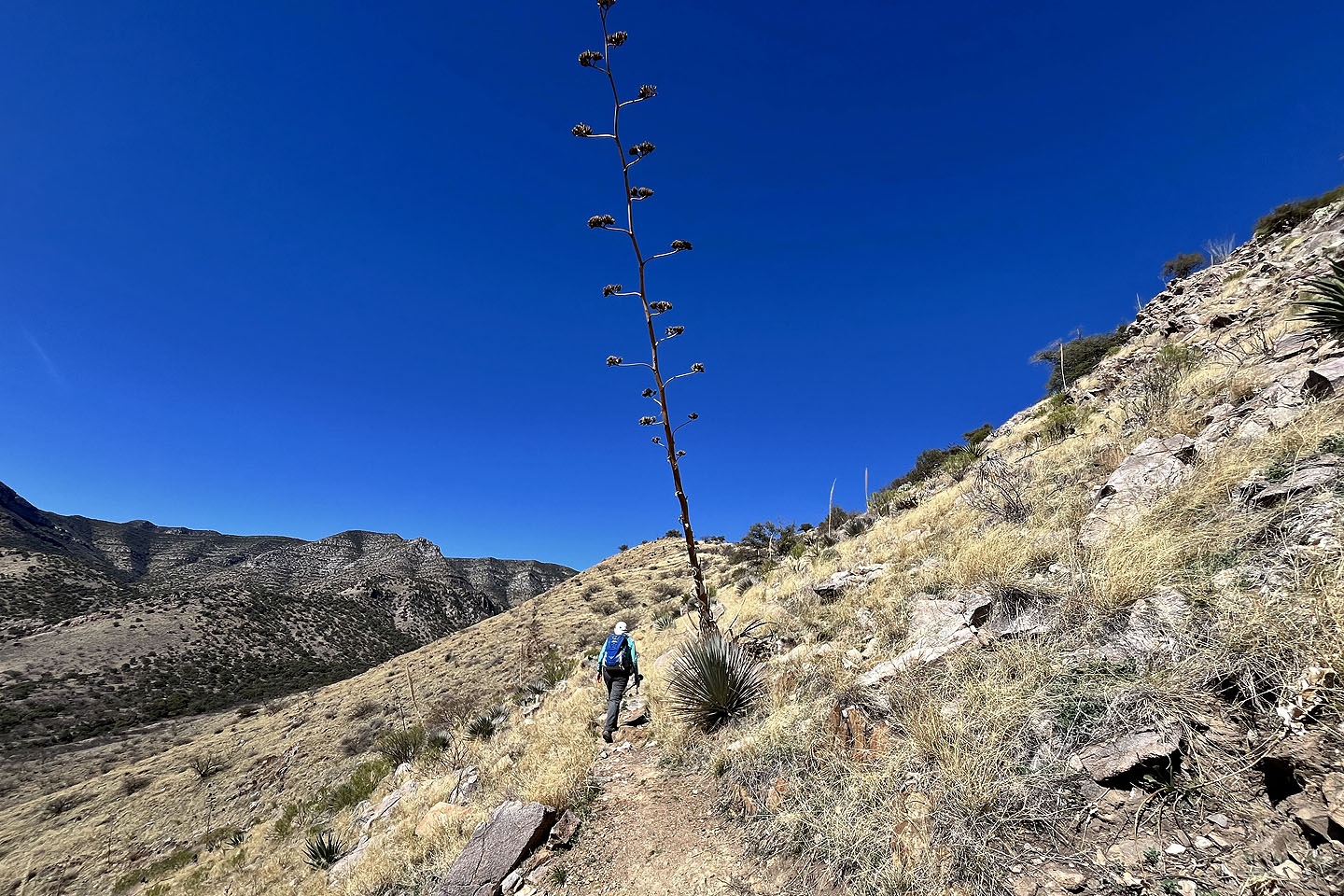
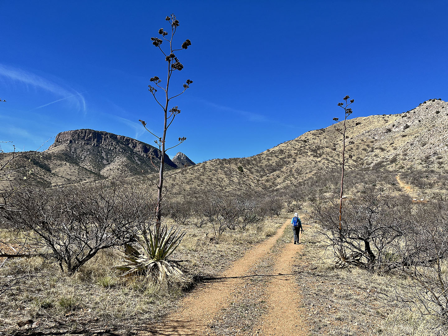 We passed agaves on the trail
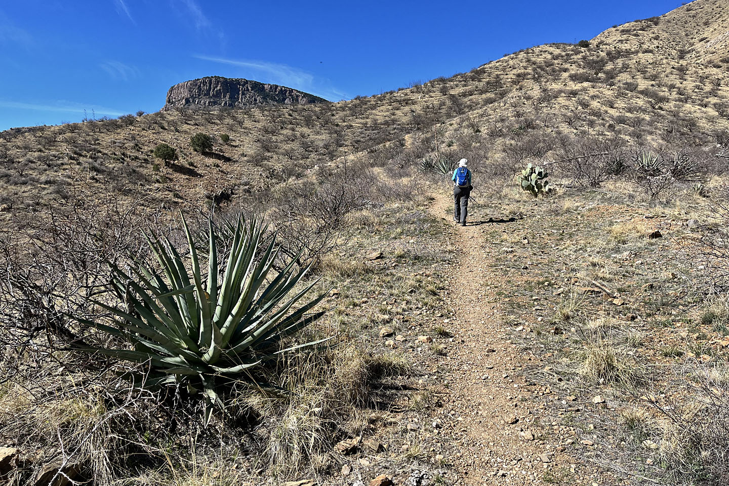 The trail switchbacks up the slope ahead
 Looking back
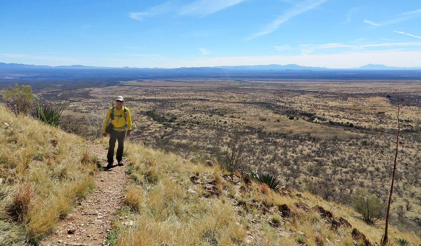
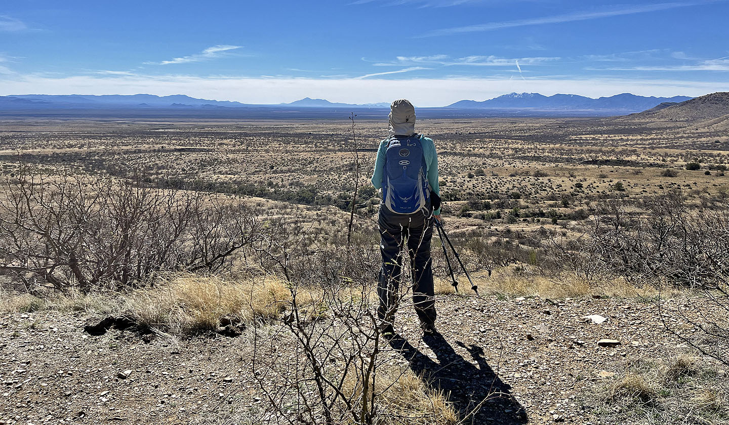 Looking south from a viewpoint: left of Dinah, 75 km away, is Cerro San José in Mexico. On her right, 50 km away, is Miller Peak in Arizona (mouse over for a close-up).
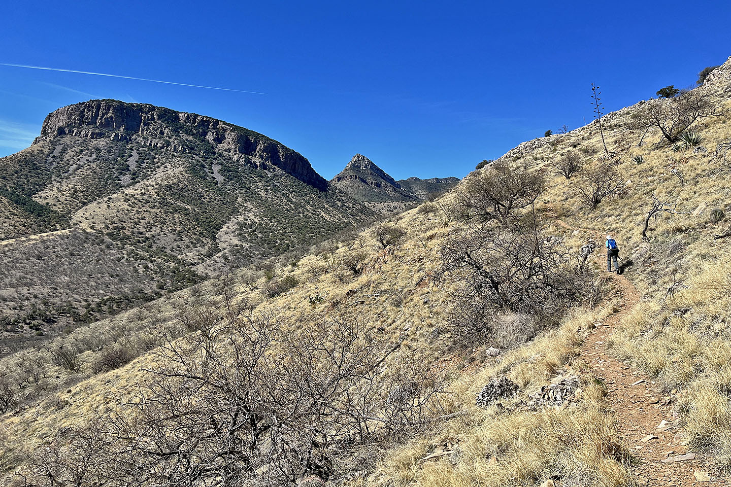 The sharp peak in the centre is The Cap
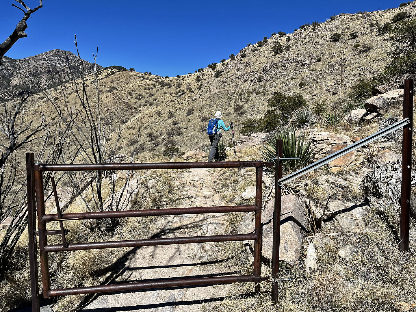 At a cattle gate, the pass came into view
 Dinah passes a tall agave
 Behind me are emory oaks (mouse over to see the leaves)
 On the pass looking for the best way up the ridge
 Looking back after starting up the ridge
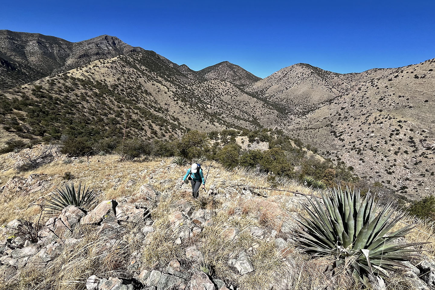 Cottonwood Peak appears above Dinah
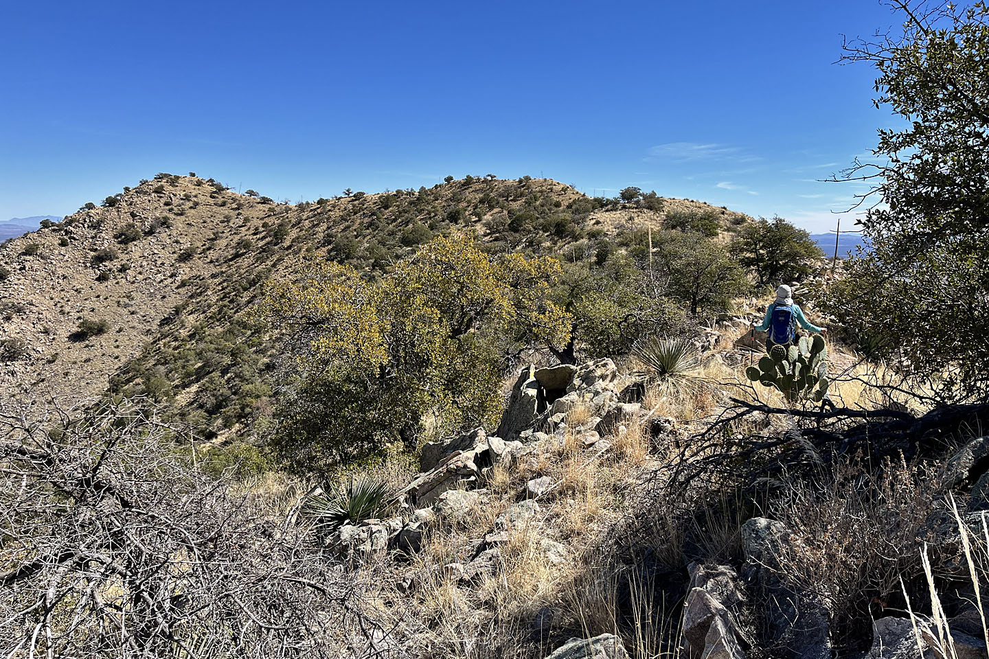 The summit is on the left
 The summit is straight ahead. Fortunately I didn't have to climb over the barbwire fence.
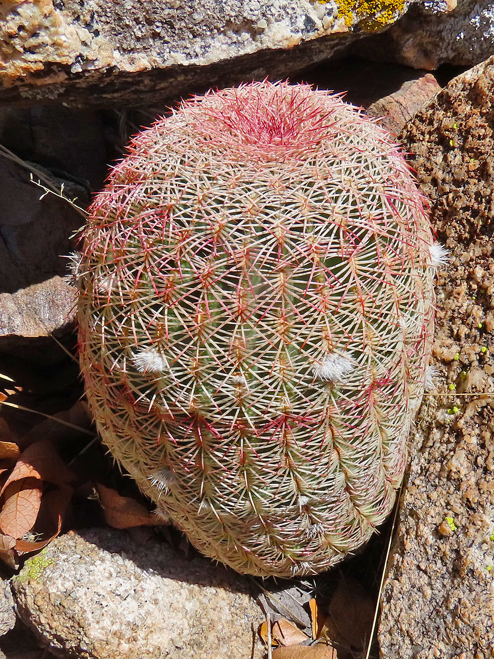
I spotted this Arizona rainbow cactus near the summit
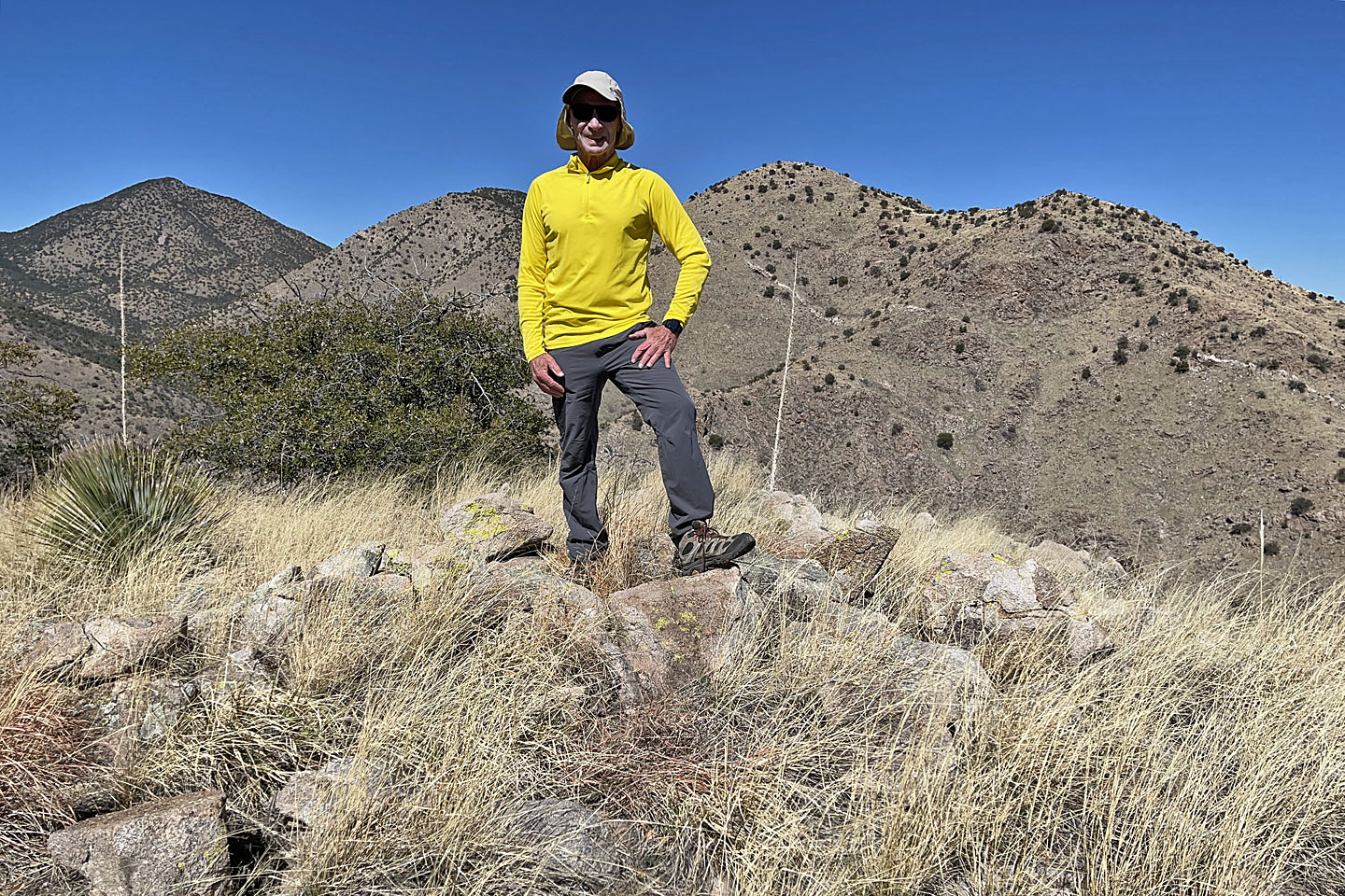 Standing on the summit
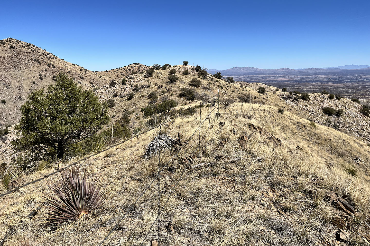
 I'll retrace my steps most of the way along the ridge to the trail
 Back on the trail which drops down to the valley below
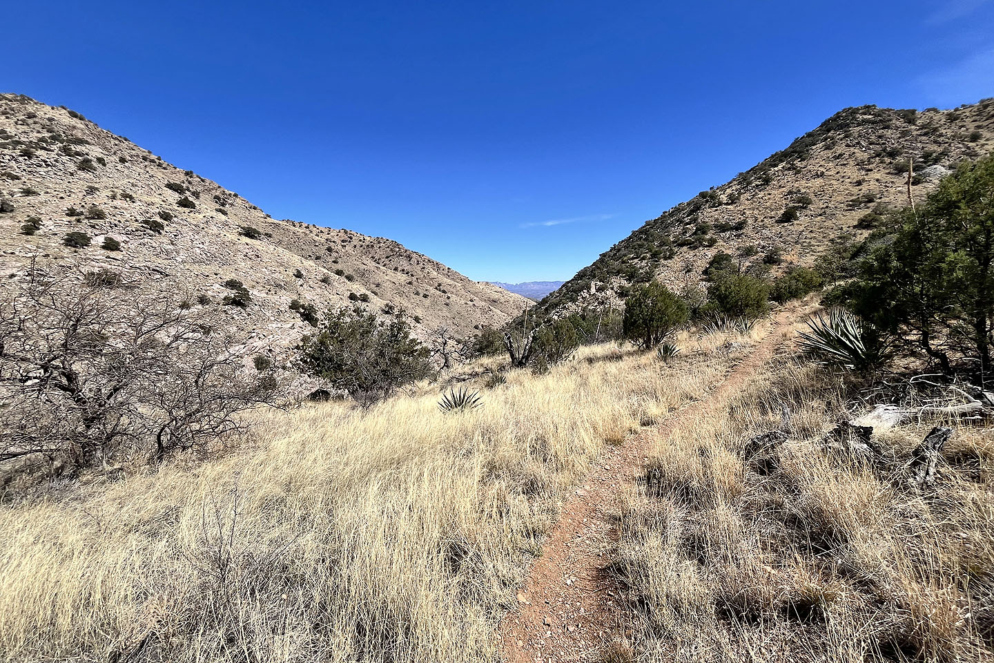 The trail leads to Guindani Canyon
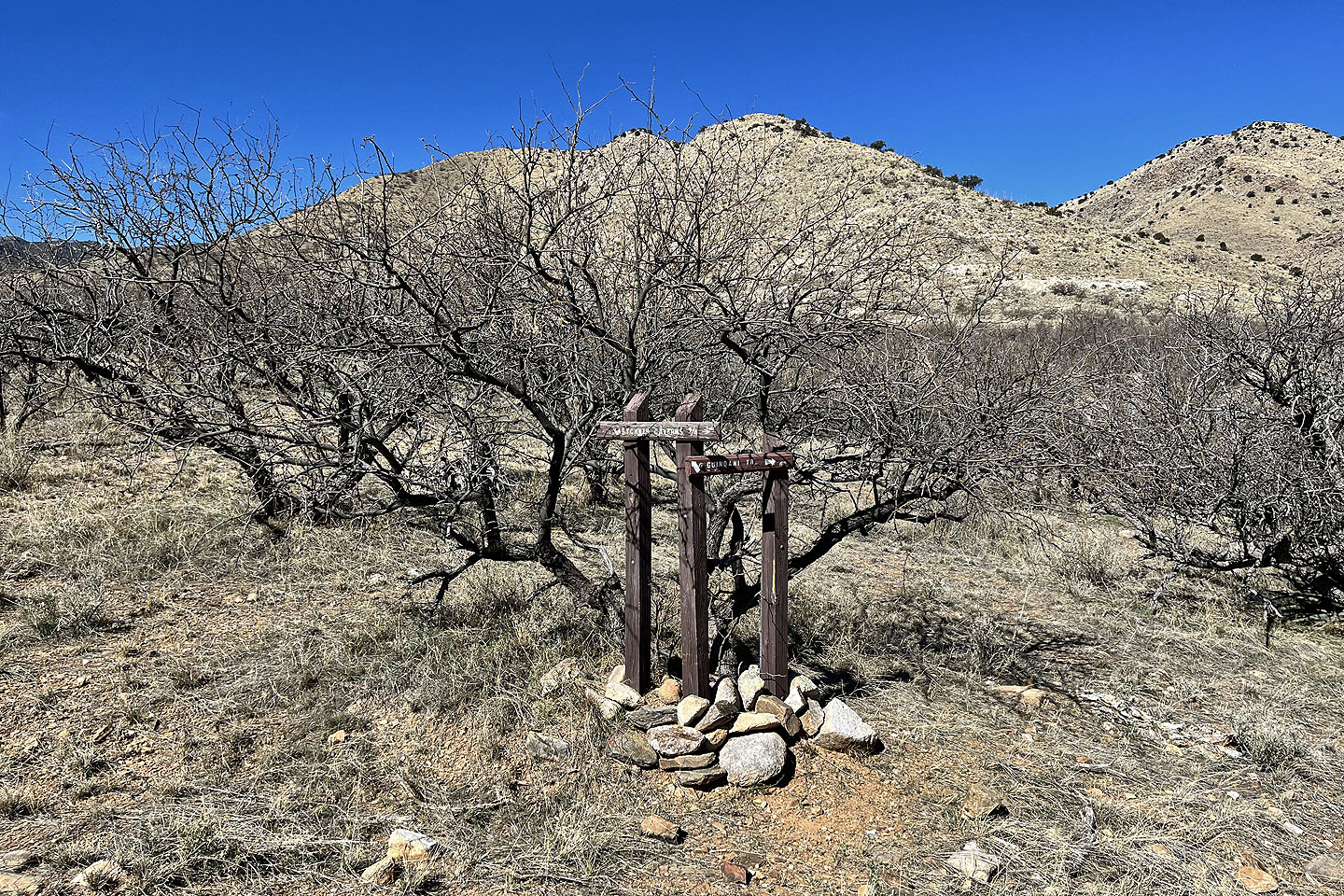
 At the junction of Cottonwood Saddle and Guindani Loop. Notice the signpost in the middle.
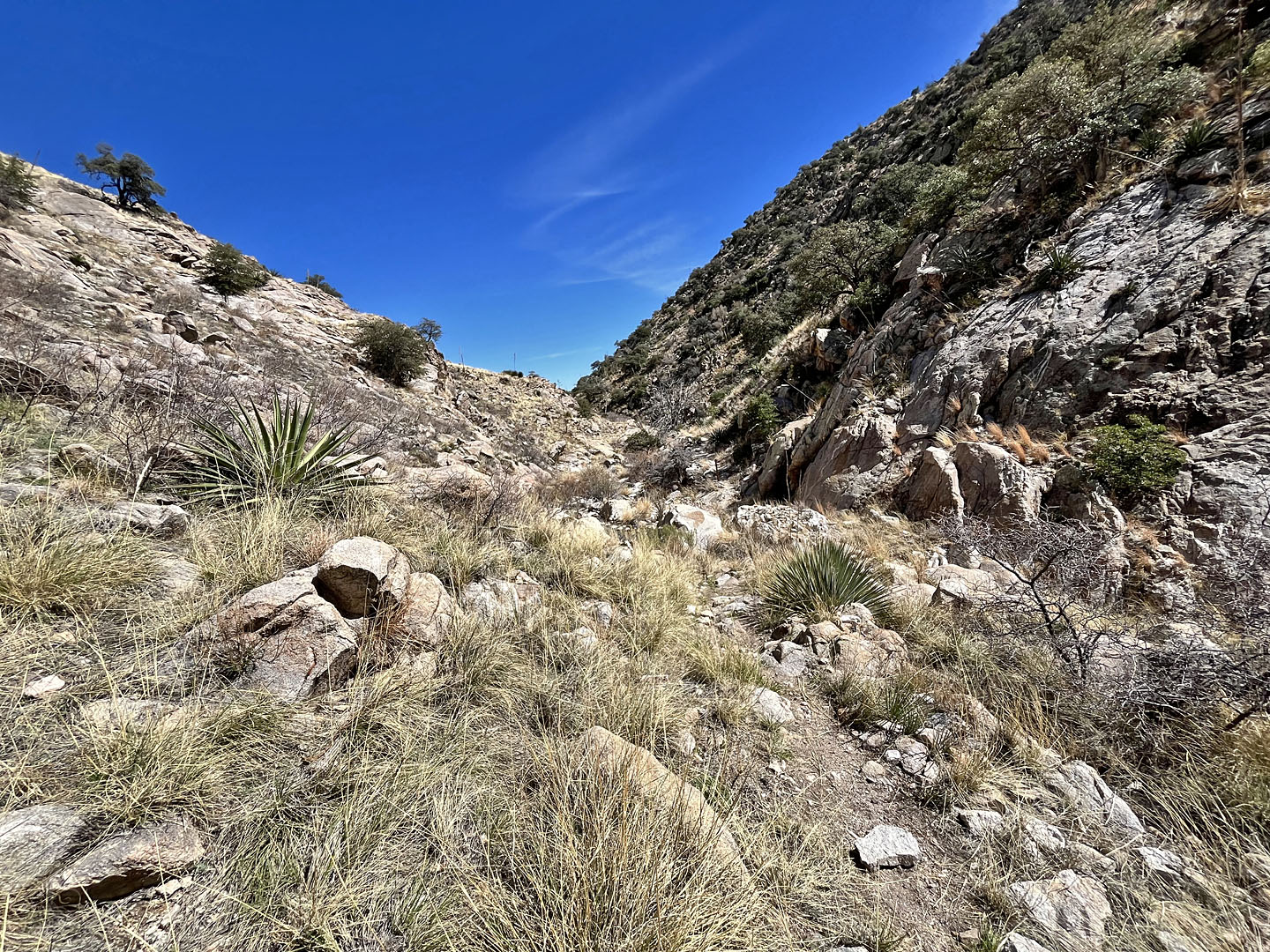 A rough trail follows the canyon
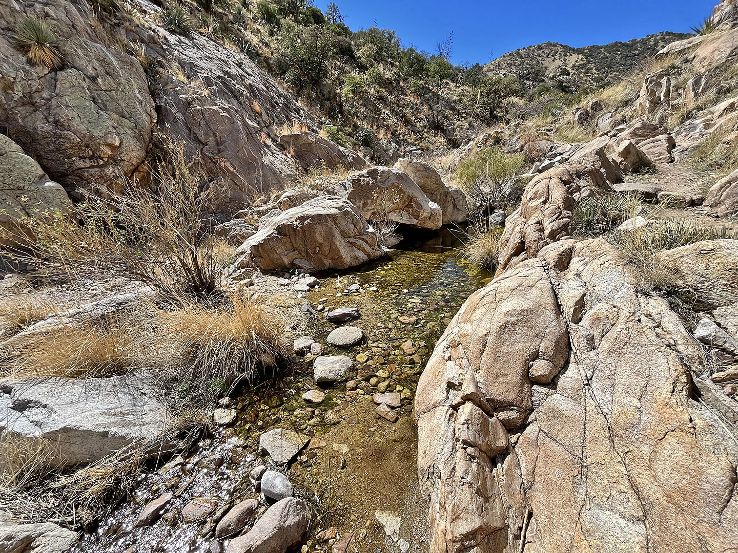 The trail crossed a stream a few times
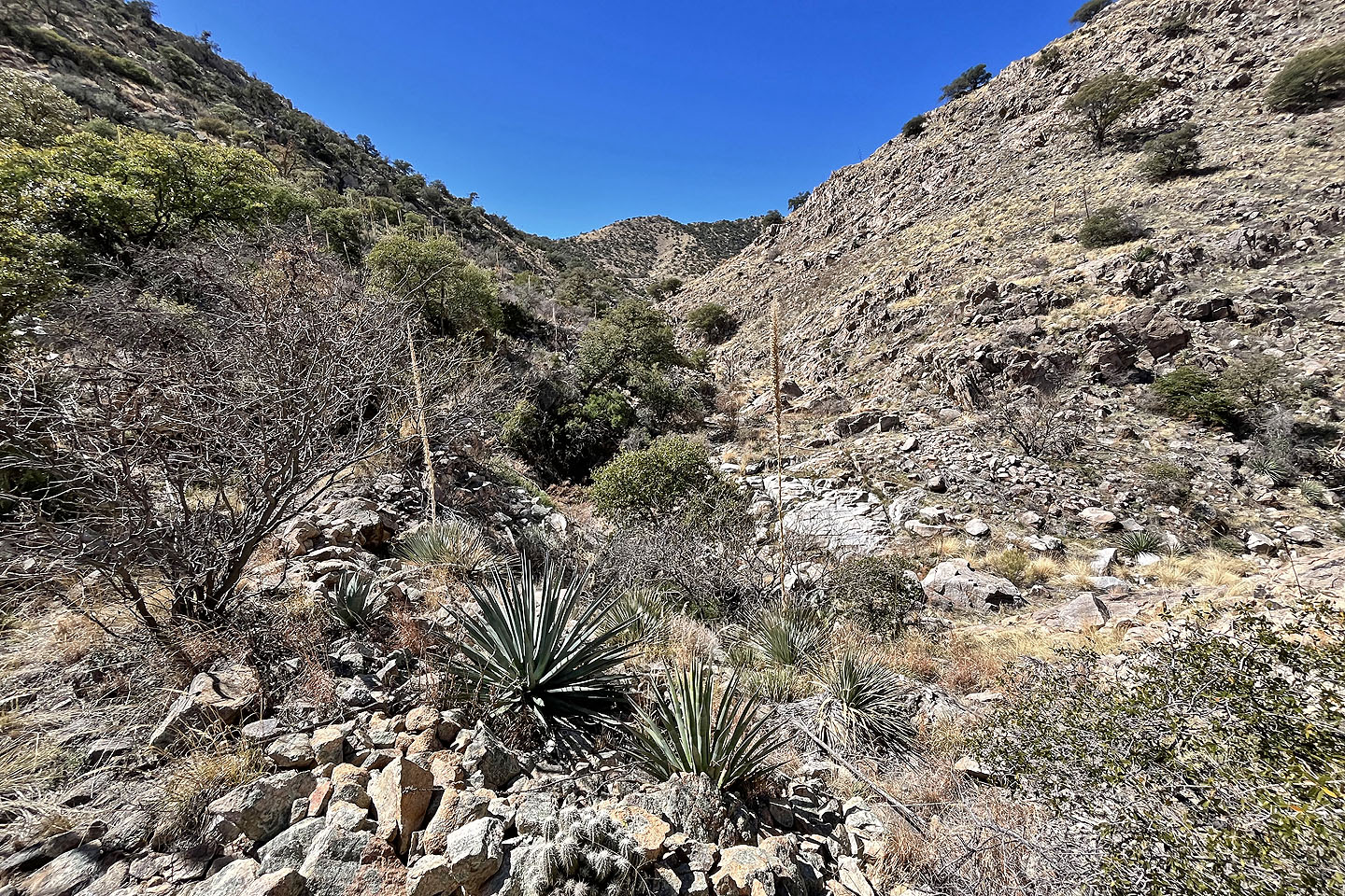 Looking back up the canyon
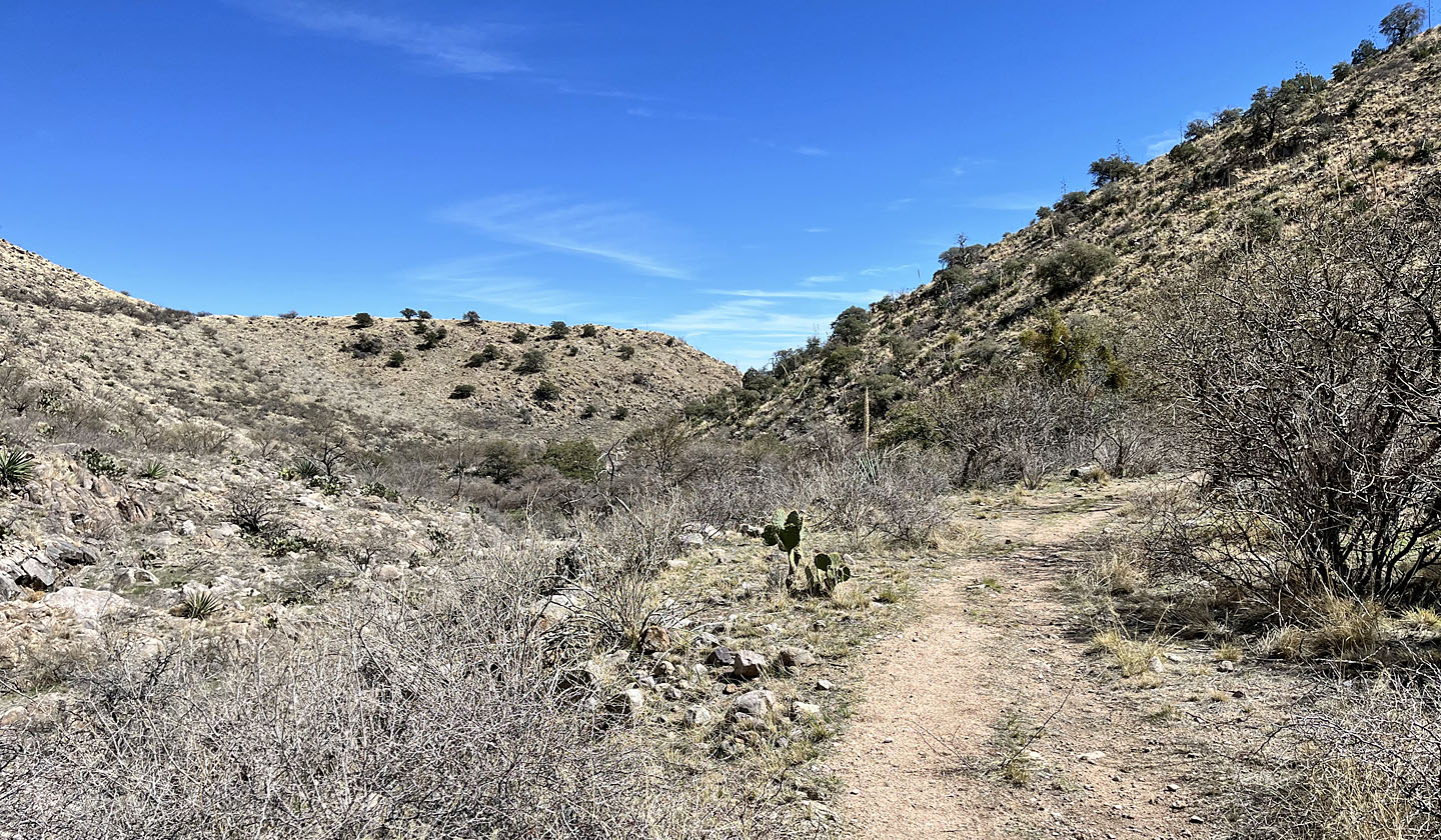 The trail nears the end of the canyon
 Back on the flats, the white roof of the visitor centre appears straight ahead
Apache Peak and McGrew Spring (5.3 mi, 5787 ft, 1079 ft)