bobspirko.ca | Home | Canada Trips | US Trips | Hiking | Snowshoeing | MAP | About
Bobcat Ridge
Tucson Mountain Park, Arizona
February 21, 2024
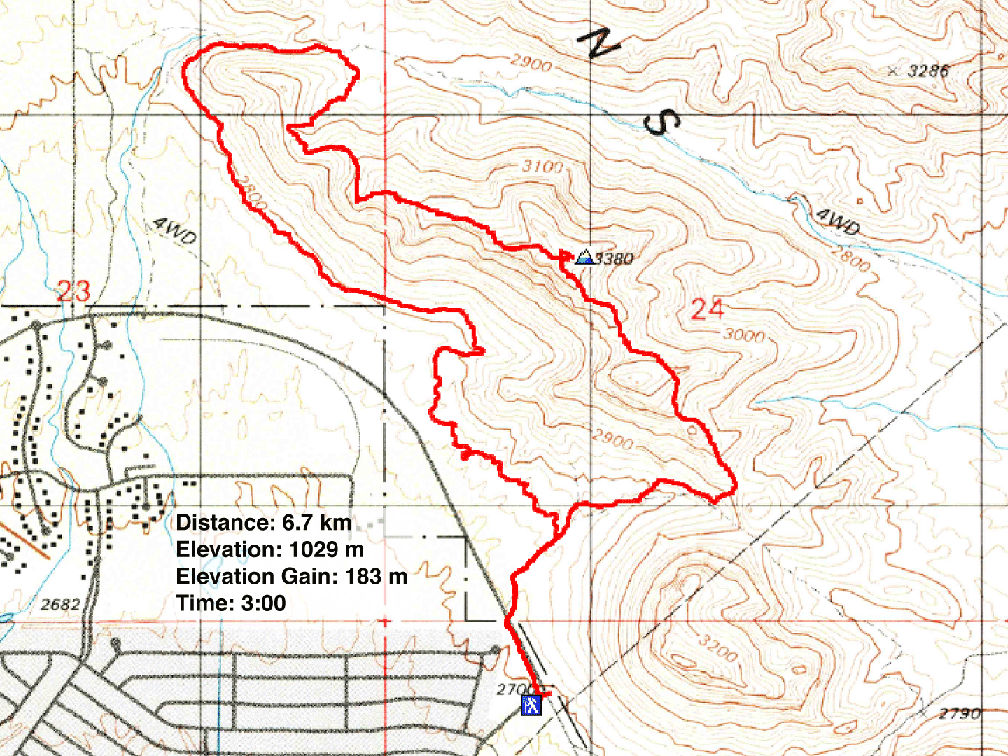
Distance: 6.7 km (4.2 mi)
Cumulative Elevation Gain: 212 m (696 ft)
Bobcat Ridge provided us with stunning views of the desert without requiring much effort, which was perfect for us as Dinah was recovering from a bad case of the flu and lacked energy. We completed the loop trail by first following the path along the base of the west slope before climbing the ridge and following it back to the start of the loop. By starting with the bottom trail, we saved the best part of the hike – the hike along the ridge – for last.
We parked near the south end of the mountain and discovered two things. Firstly, a park pass is not required for this hike, and secondly, we had parked at the wrong trailhead. Fortunately, the correct trailhead for Bobcat Ridge was nearby, and we quickly found it after a short walk.
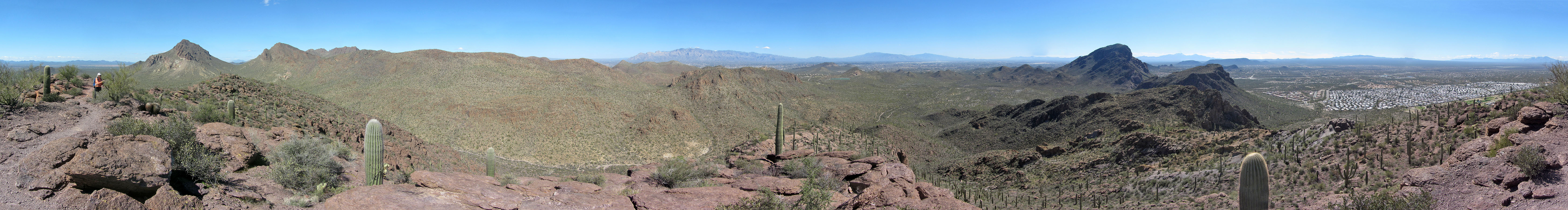
After following the trail for a few hundred metres, we reached a fork and turned left. We followed the winding bottom trail, passing several hikers going in the opposite direction. Only after the trail runs around the north end of Bobcat Ridge does it start to climb. We reached the ridge crest, and despite its ups and downs, enjoyed a delightful ridgewalk to the top of Bobcat.
On the summit, we met a couple from Tucson, both in their eighties, who were avid peak baggers. The man told us that he had climbed all the surrounding peaks and pointed out several of them. However, this was their first time climbing Bobcat Ridge.
After reaching the summit, we continued down the south end of the ridge. Cat Mountain and Little Cat Mountain provided us with some striking scenery. At the saddle connecting Bobcat to Little Cat, the trail turned, and we descended the slope. The trail brought us back to the fork where we had been earlier. We cruised back to our car and completed our first desert hike of our two-week vacation.
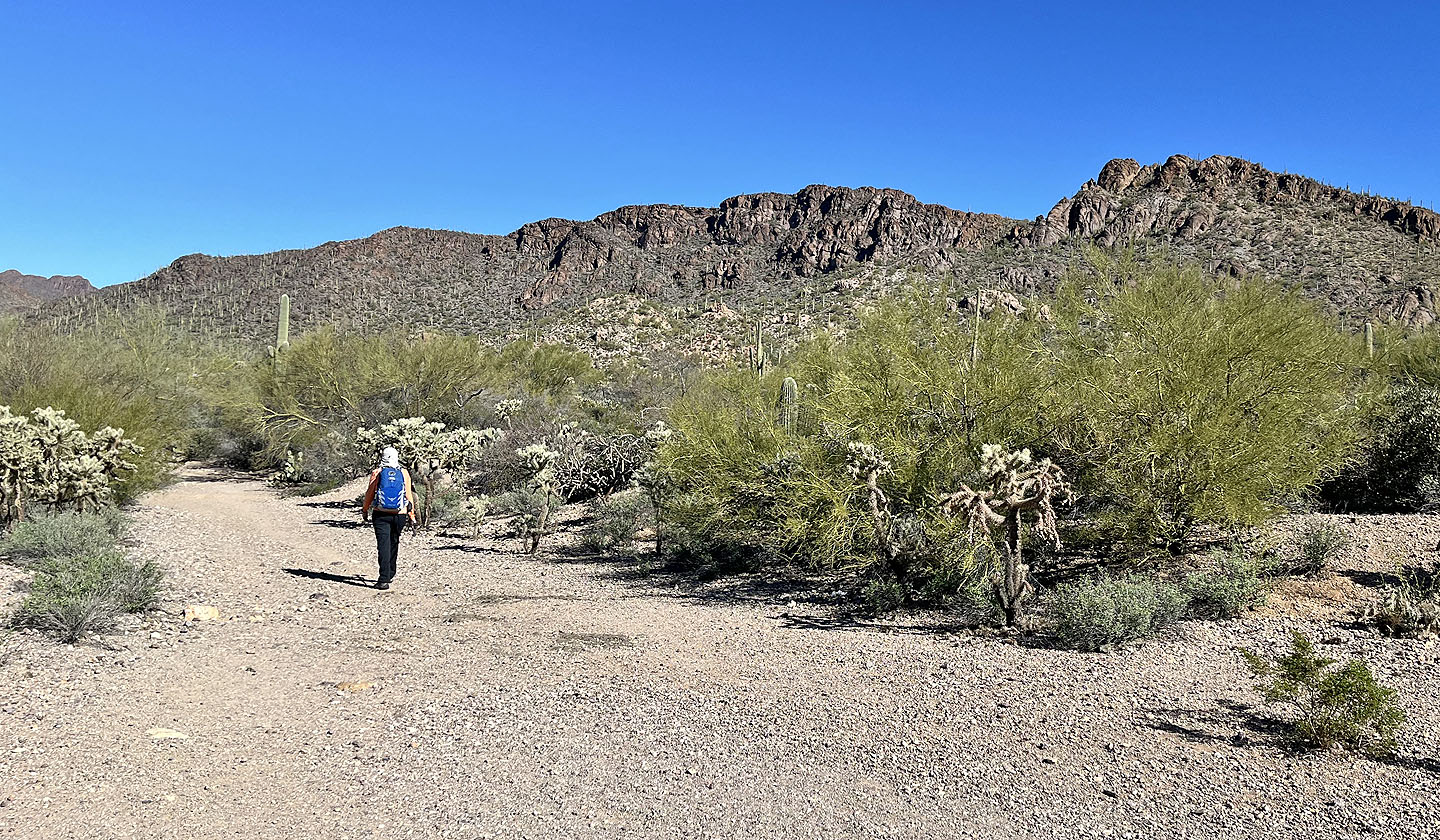 Starting on the trail with Bobcat Ridge ahead
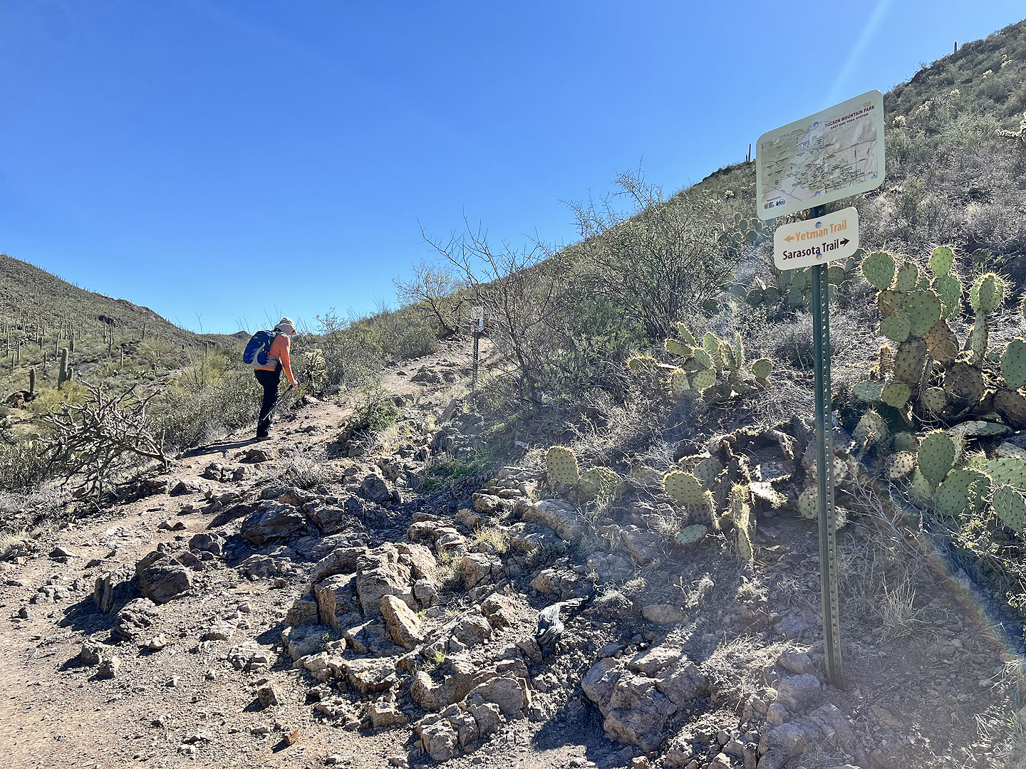
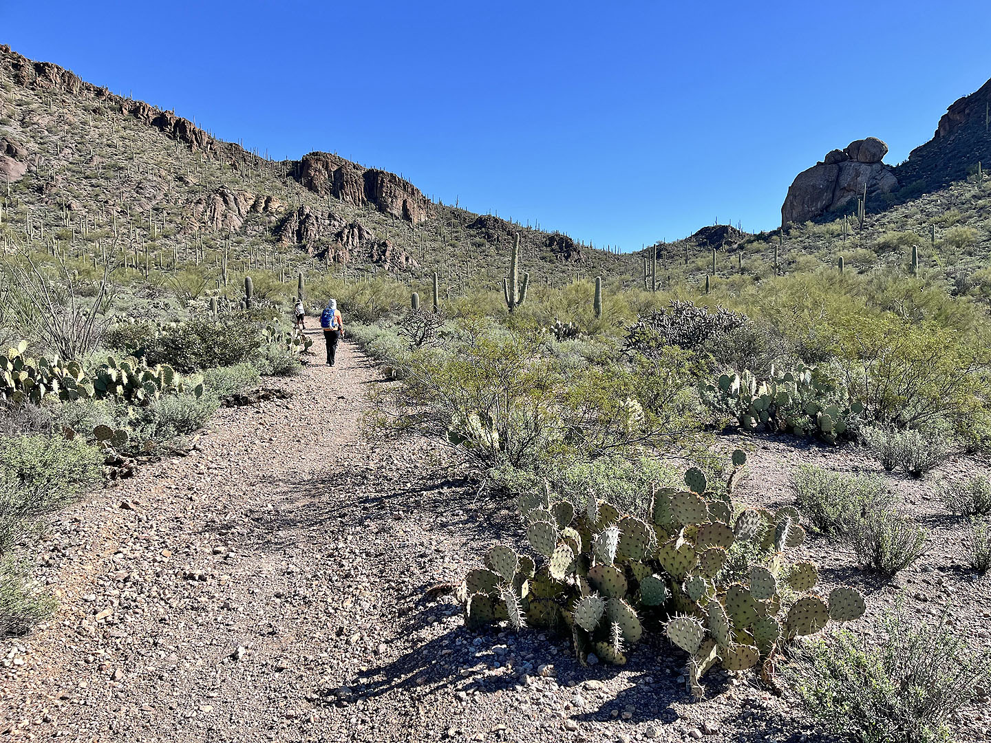 We'll turn left at a fork ahead. We returned on the right fork which descends from the saddle.
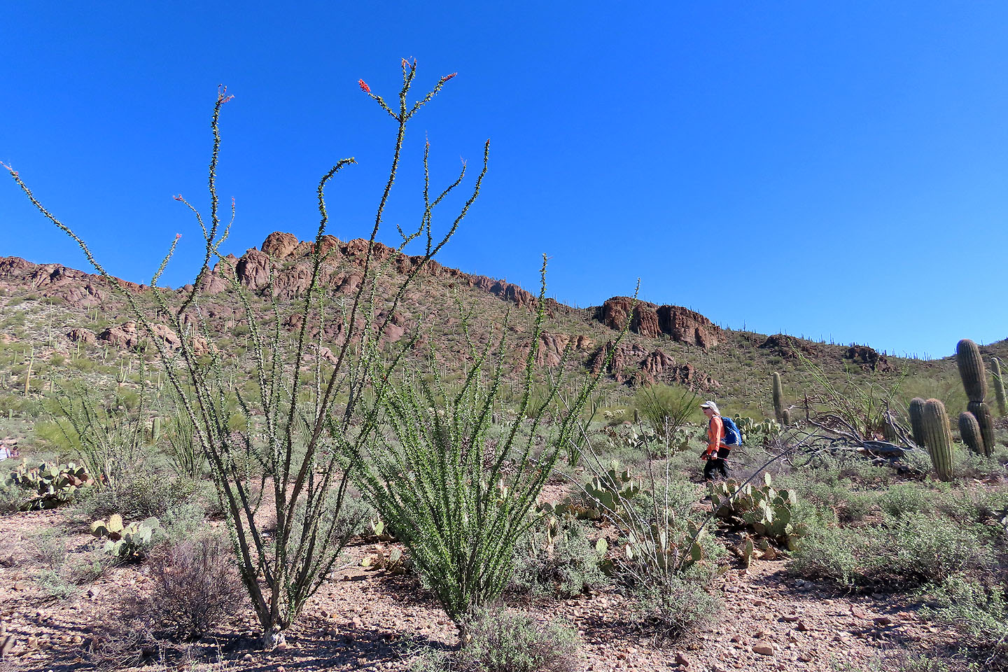 Ocotillos lined the trail, but we only saw two that were flowering. Mouse over for a close-up.
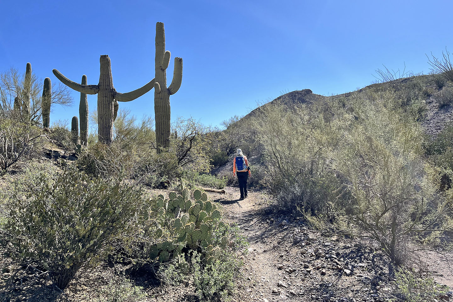
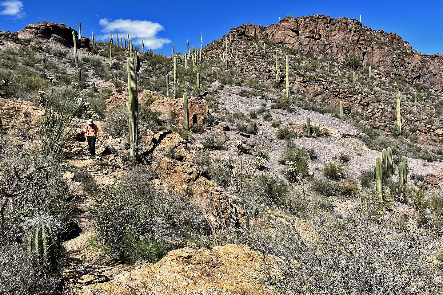
 The trail leads to the north end of the ridge where we'll start ascending
Saguaros appear to welcome us with open arms
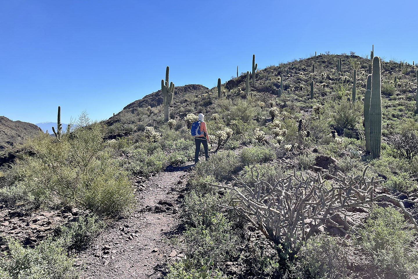 Finally the trail begins to climb
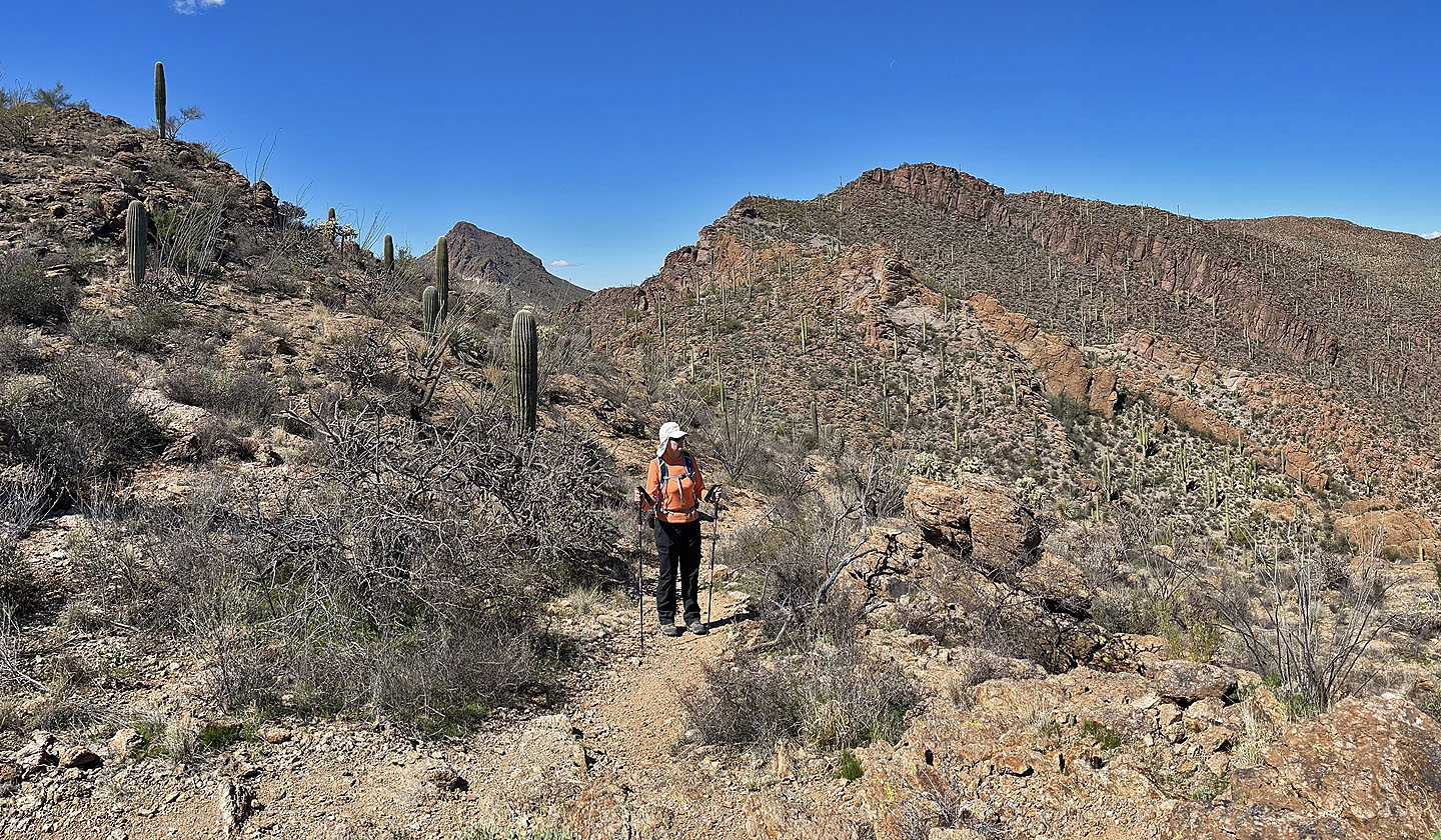
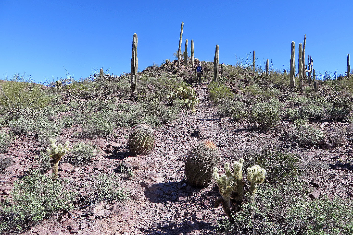 Eventually we gained the ridge
 Behind are Golden Gate Mountain and Bren
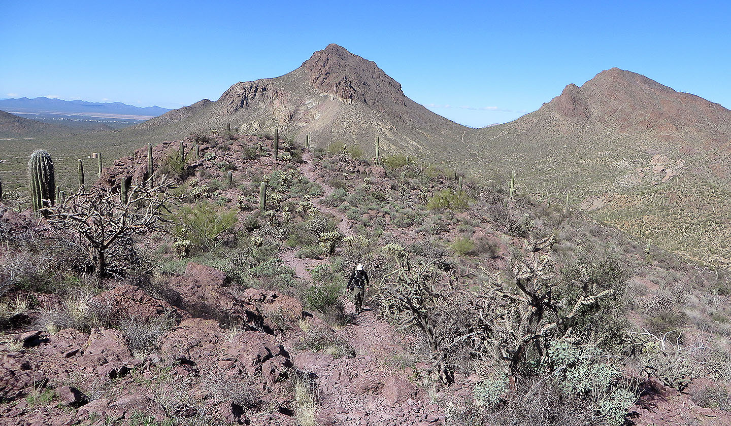
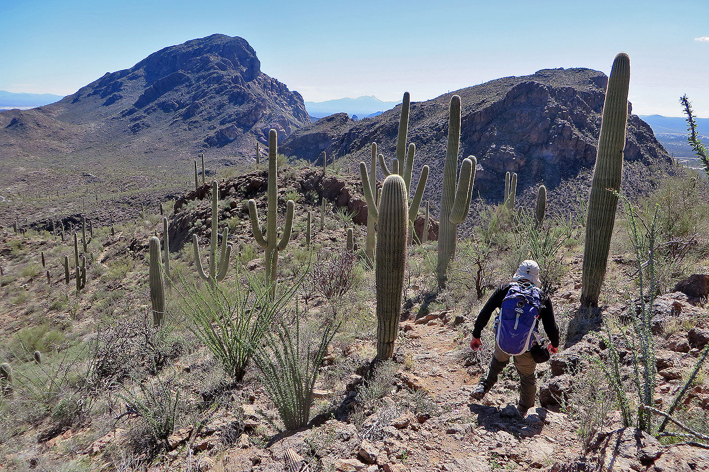
 The summit appears ahead
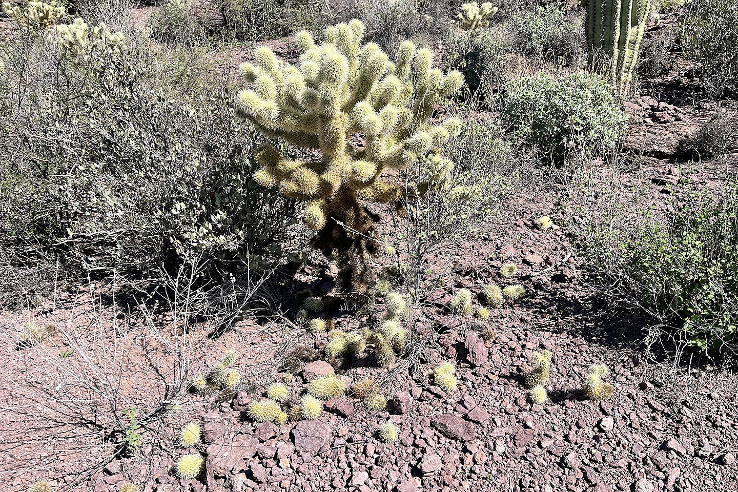 Teddy bear cholla drop segments that can begin new plants
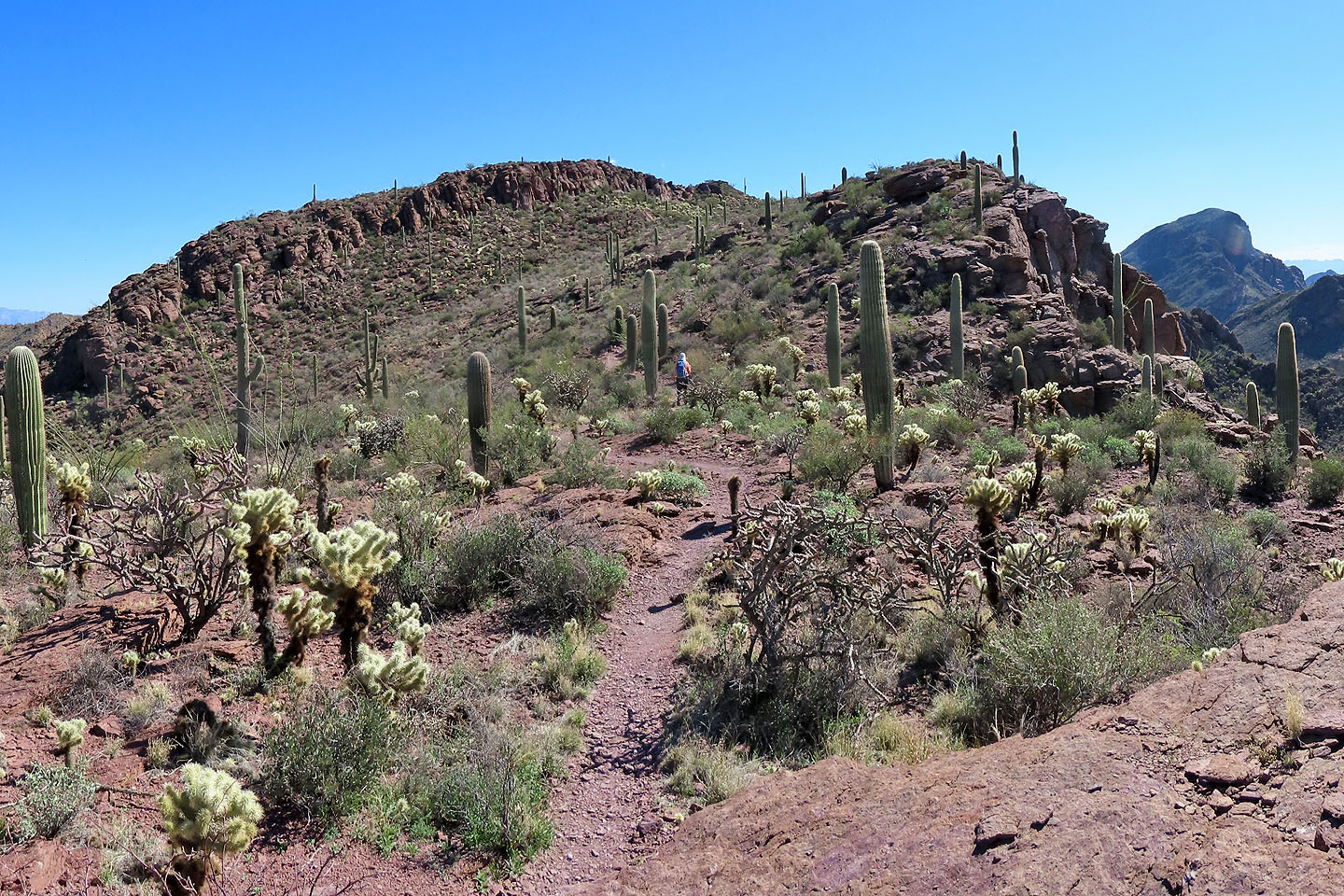
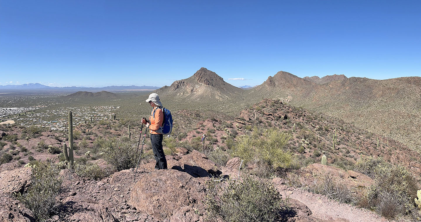
 The summit is just beyond the cliffs
 Dinah pauses near the top to look around
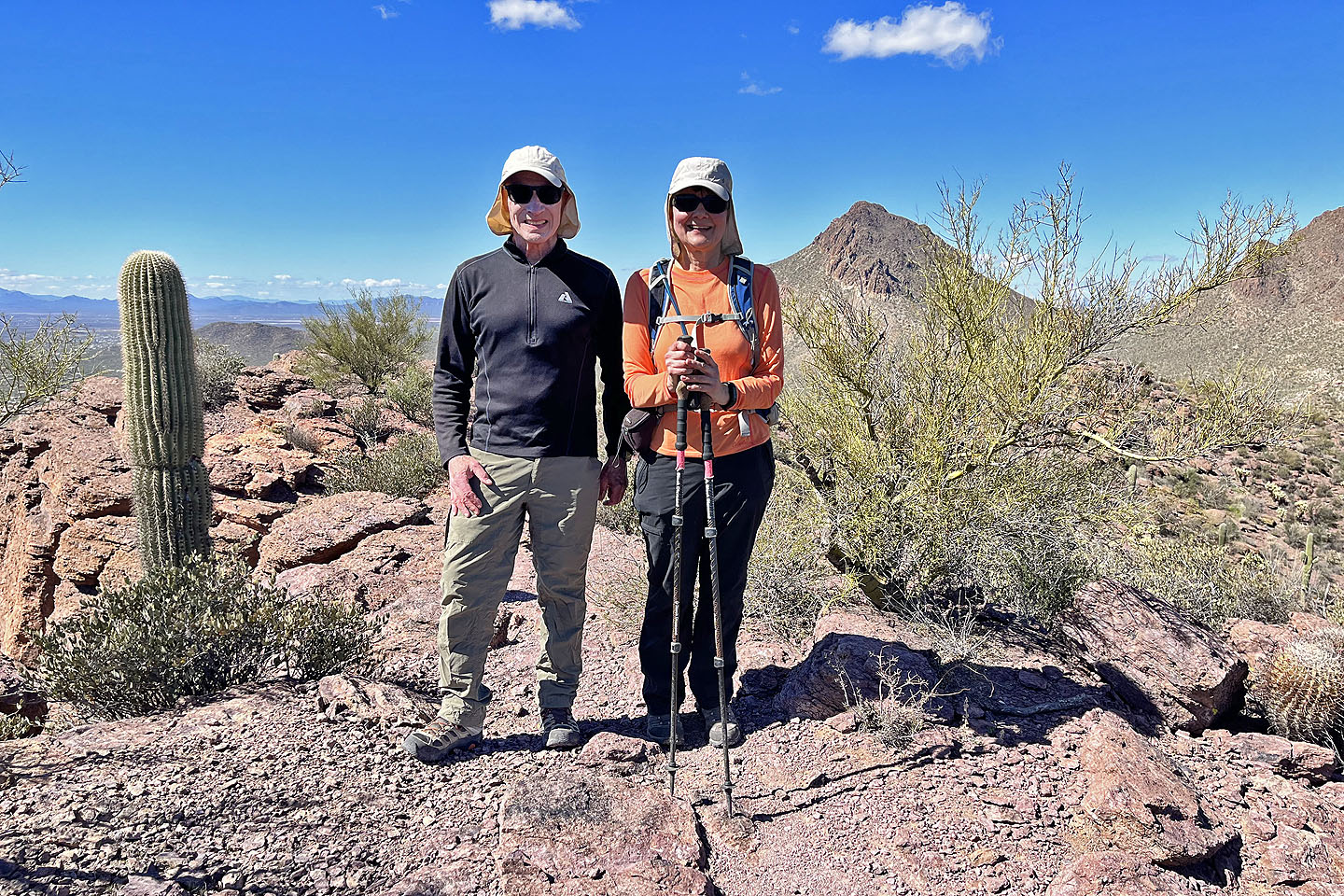 On the summit
After the summit, we continued down the trail
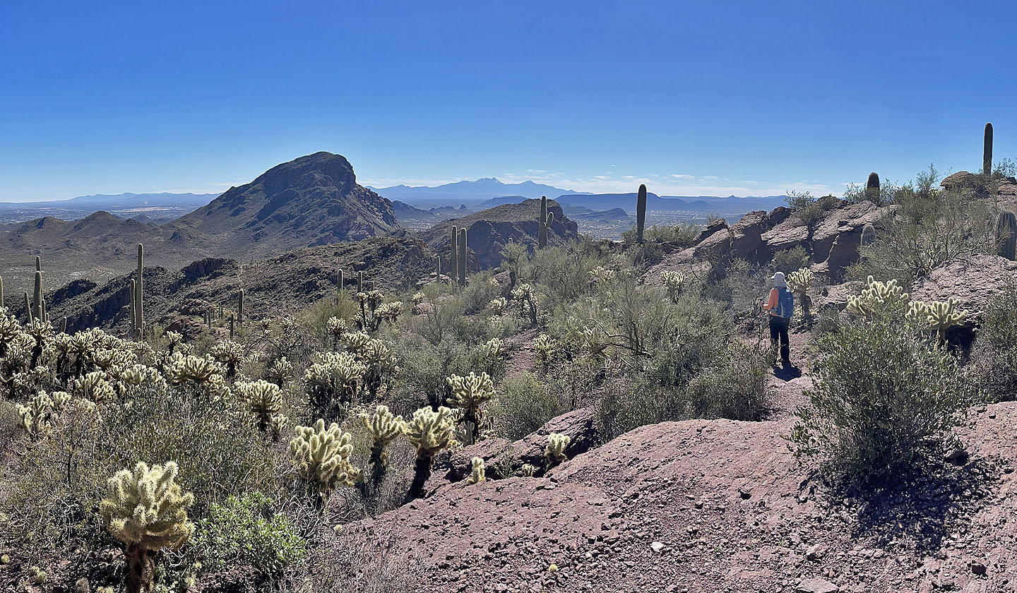
 Ahead are Cat Mountain and Little Cat Mountain
 Looking back at the summit
 Last look at the summit
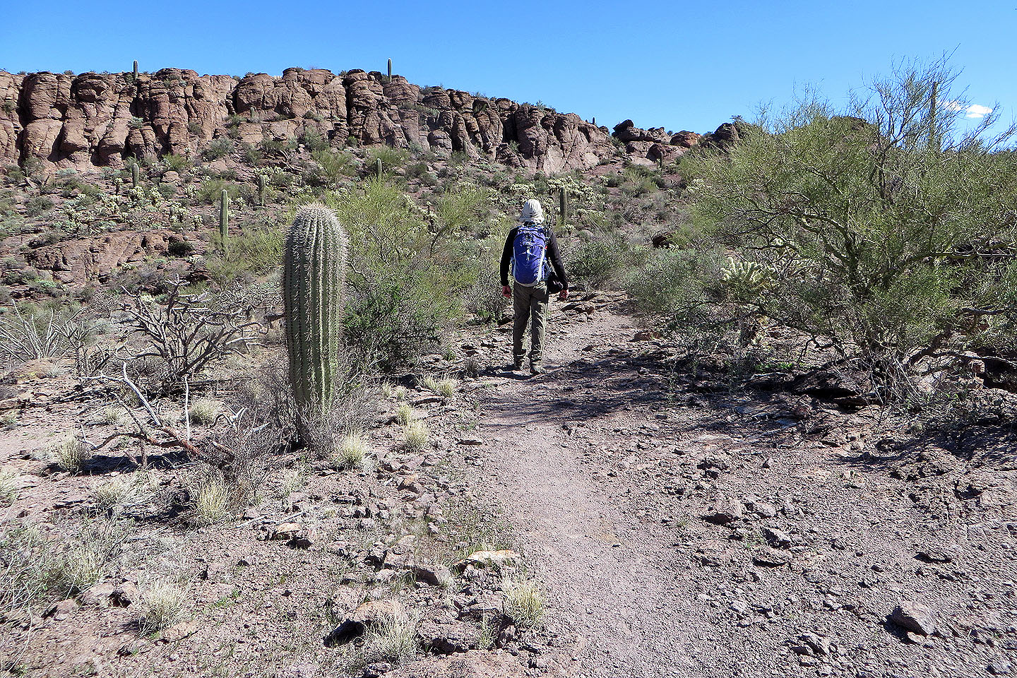
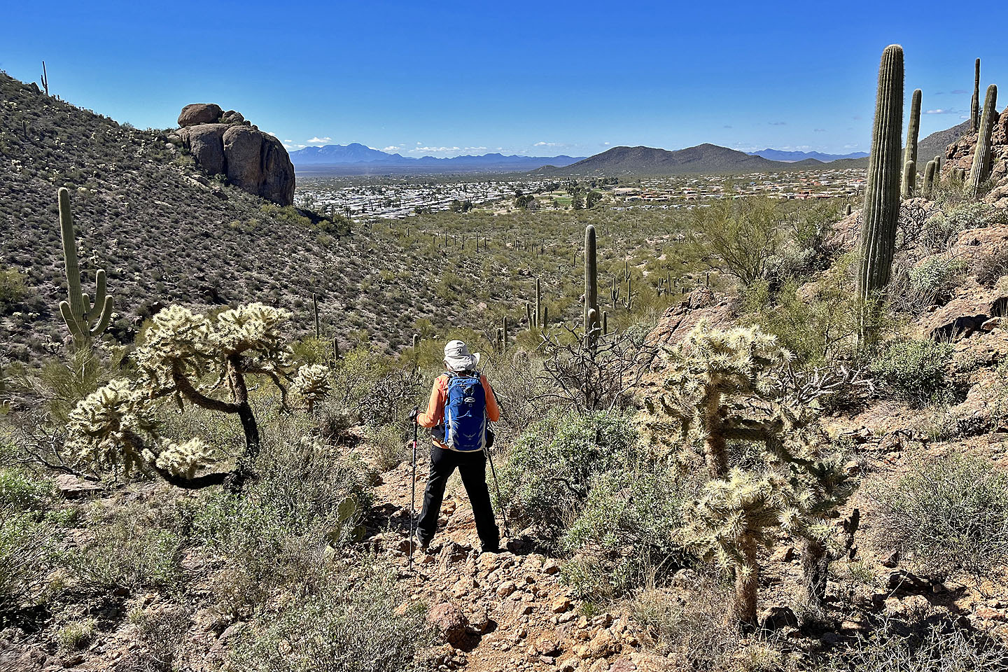 Continuing down, back to the parking lot
 Cat Mountain (4.2 mi, 3376 ft, 600 ft)