bobspirko.ca | Home | Canada Trips | US Trips | Hiking | Snowshoeing | MAP | About
Storm Mountain North Ridge (aka Vista Peak)
Kootenay Park, B.C.
March 8, 2008
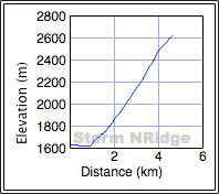
Distance: 9.2 km (5.7 mi)
Cumulative Elevation Gain: 1020 m (3346 ft)
After my reconnaissance in January, I realized that to gain the North Ridge of Storm Mountain I would have to detour around the cliff bands. I returned with Dinah Kruze to try a different approach.
After parking at the Continental Divide Parking lot on Highway 93, we walked a short way down the highway
before dropping down to Vermillion River. As we snowshoed down the river, I looked for a break in the dense
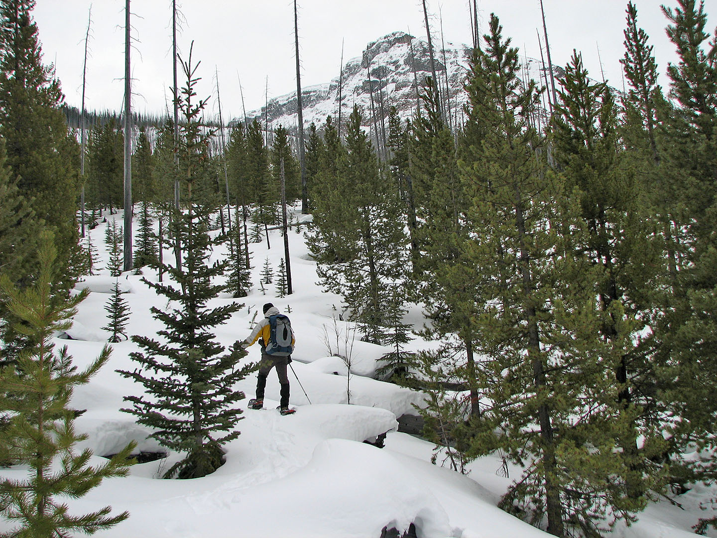
forest on our left. About 600 m from the parking lot we found it. Leaving the river we entered a lightly
wooded flat area that led to a steep slope.
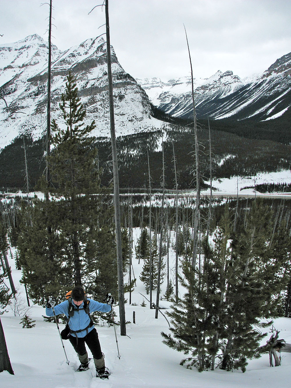
As we climbed, the live vegetation gave way to dead trees. The snow was in fair condition; occasionally we
sank to our knees. We made steady progress, passing snowshoe and ski tracks along the way.
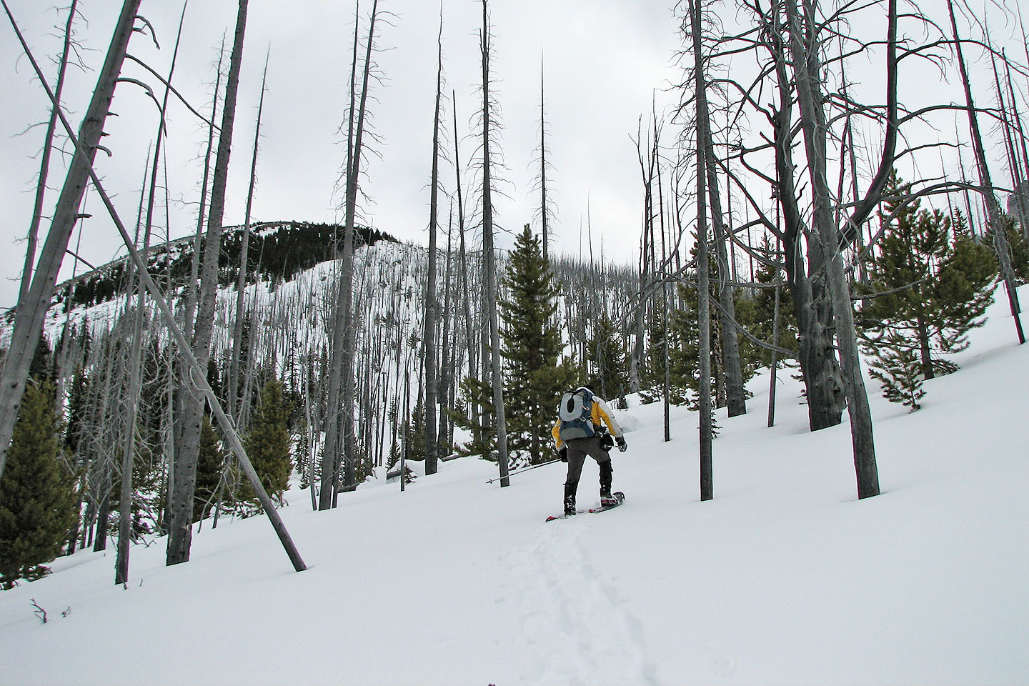
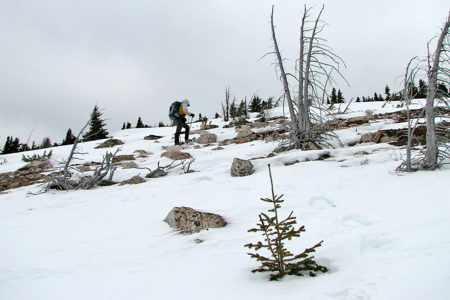
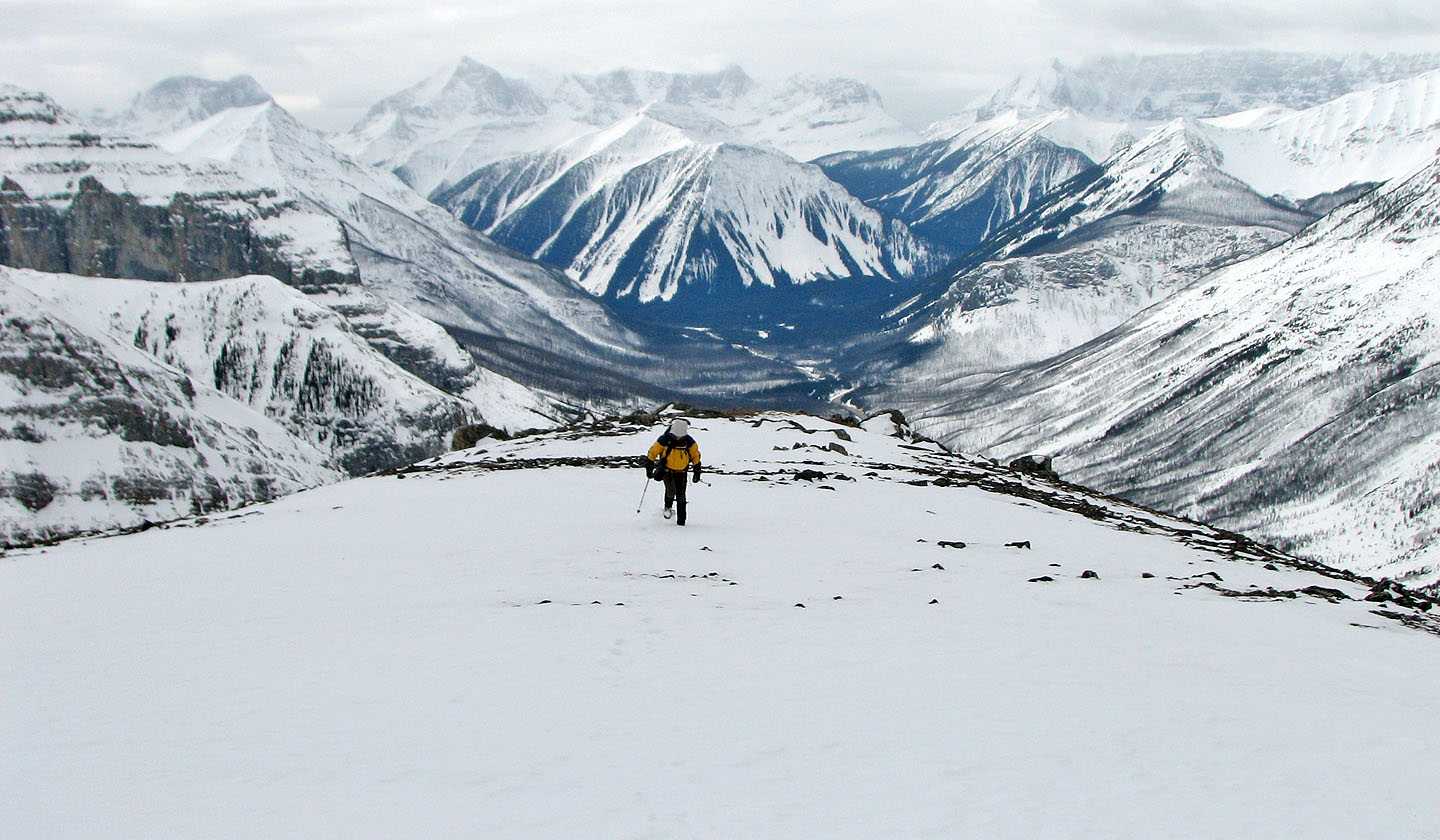
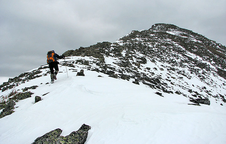
Eventually the trees began to disappear. At 2300 m we passed the highest ski tracks. At 2400 m we removed our snowshoes and started hiking up the mostly bare, rocky ridge.
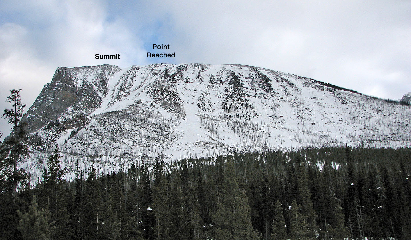
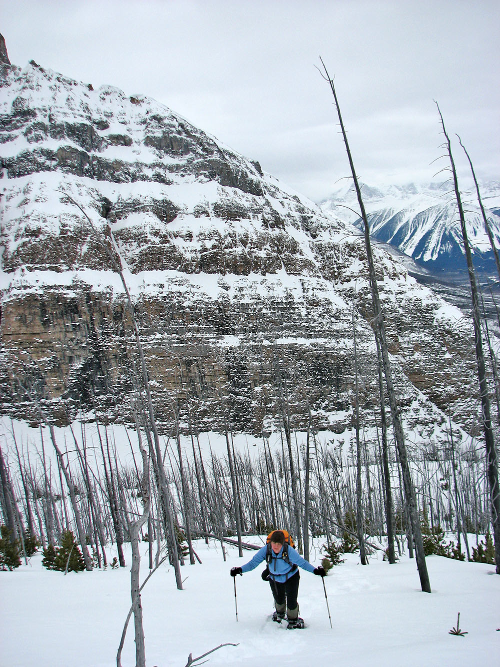
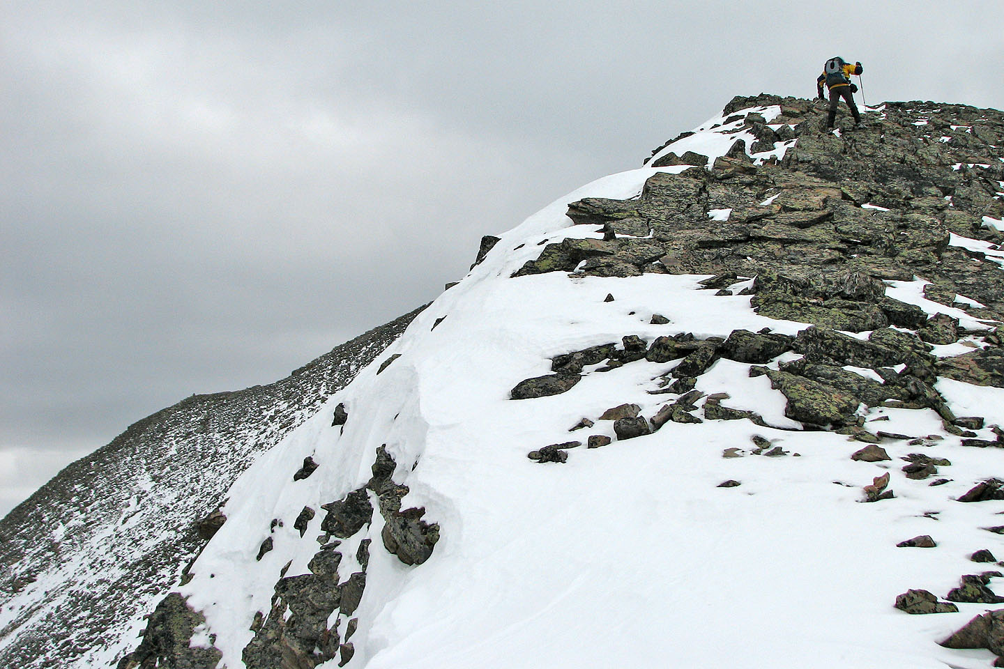
As we climbed, the ridge became narrow, rugged and exposed. When we reached a snow-covered section where it was only a couple feet across with a drop on either side, Dinah hung back while I carefully crossed. I continued only to be confronted by a narrow, exposed ridge buried under snow. It was as far as I dared go. We missed reaching the summit by less than 100 vertical metres.
We spent about half an hour at our turn-around point before retracing our steps to where we left the river and
walked along the highway back to our car.
Although we didn’t make the summit, we enjoyed our climb. Perhaps one can scramble the last section in
the summer, but then he or she would have to climb over the countless number of logs that we snowshoed over!
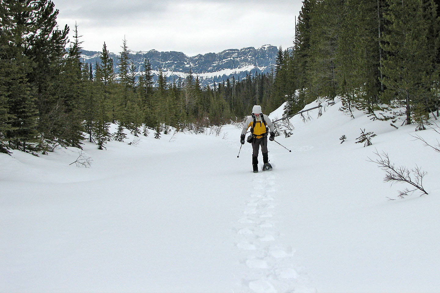
Snowshoeing down Vermillion River
We were able to avoid most of the deadfall
Topping out after climbing a steep section
We kept right to reach the ridge above us
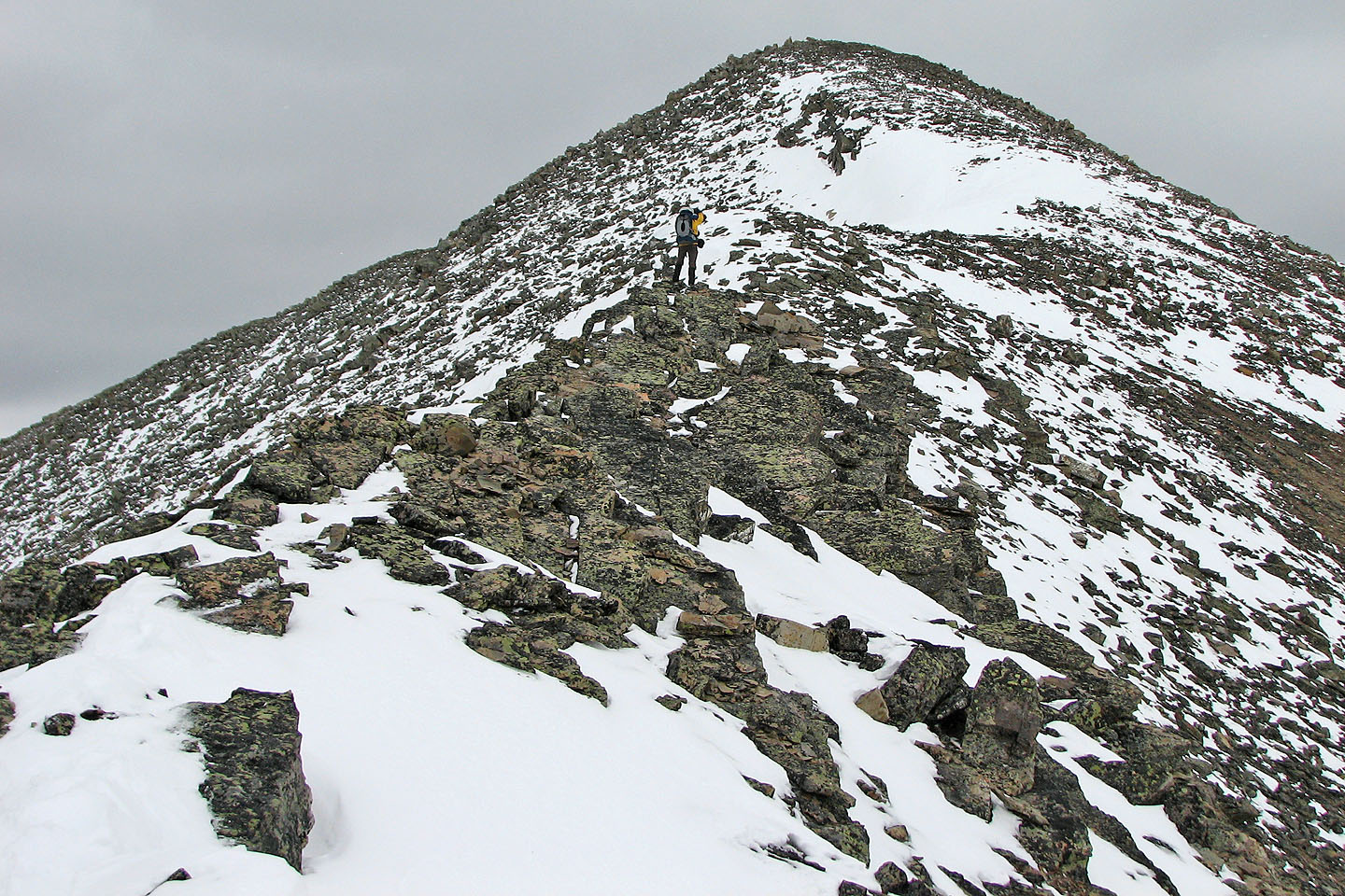
On the ridge
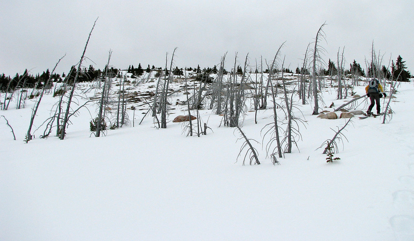
The trees began to disappear
The snow began to disappear too
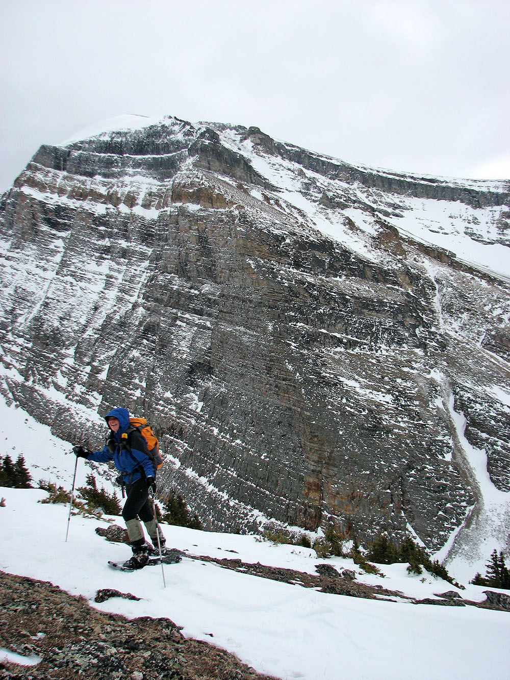
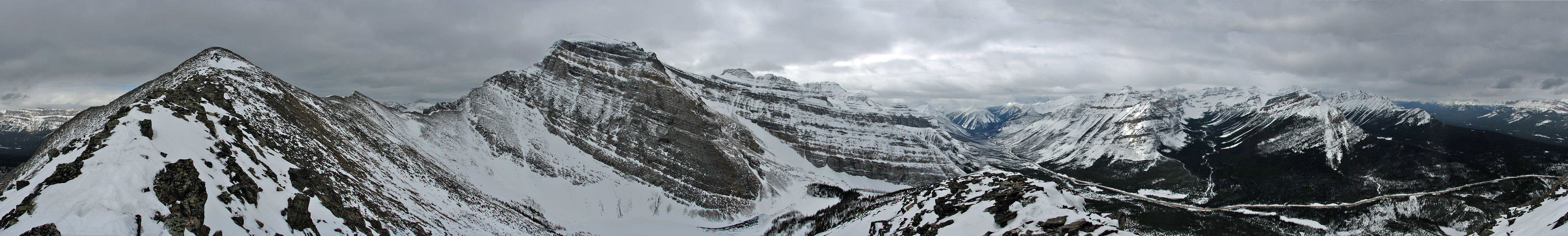
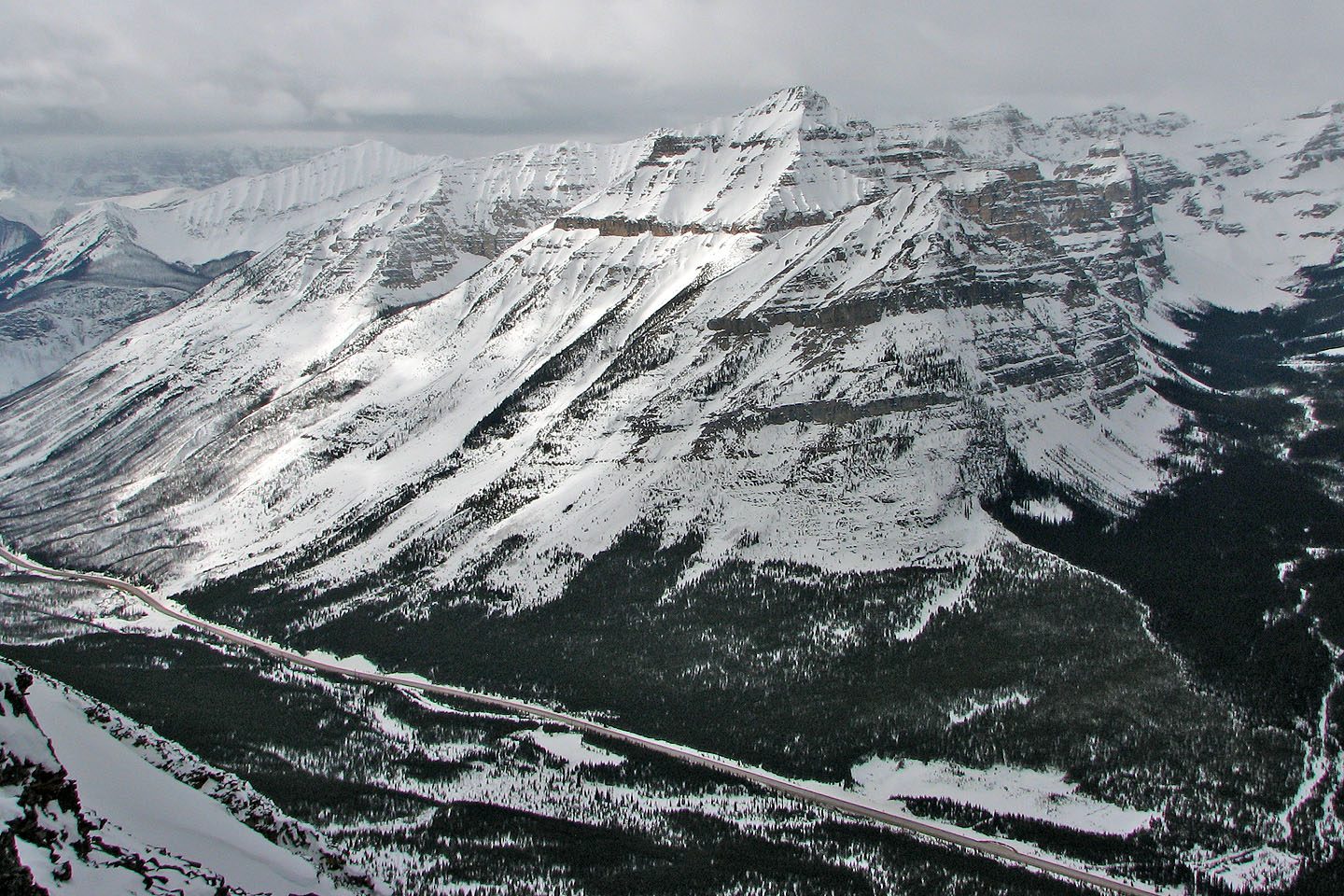
Storm Mountain behind us
We left our snowshoes behind
Enjoyable ridgewalk here
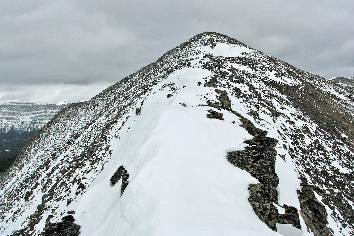
The ridge narrows
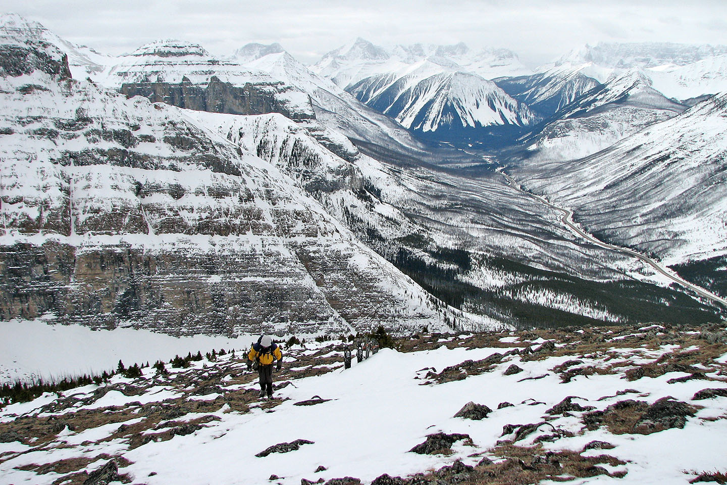
Heading to the false summit
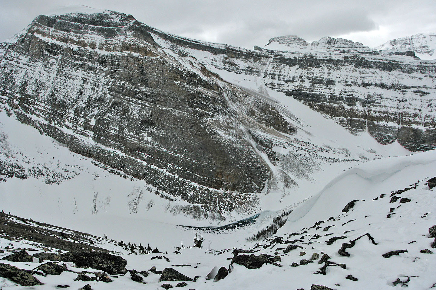
Storm Mountain (mouse over for a close-up of the frozen tarn)
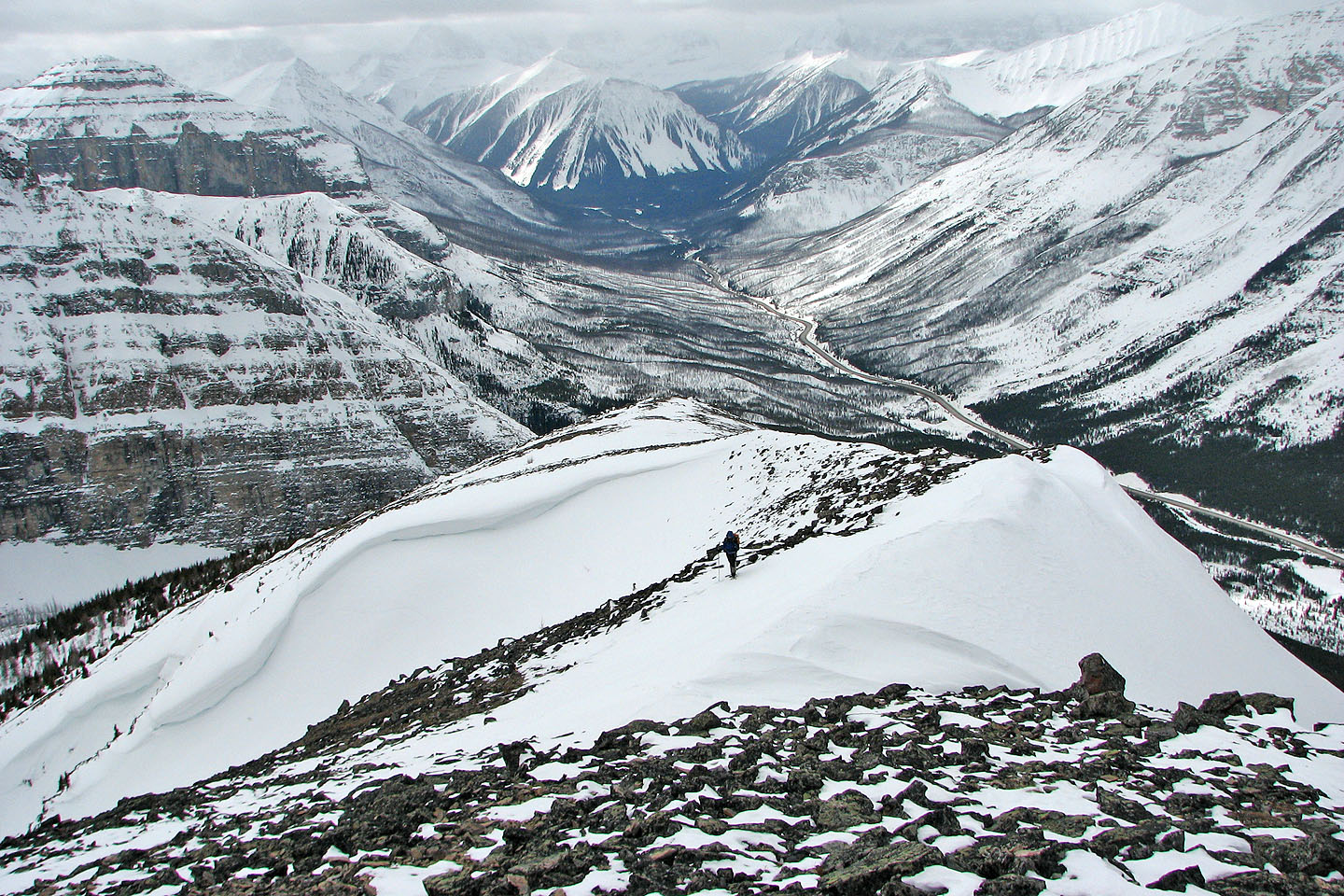
Huge cornices
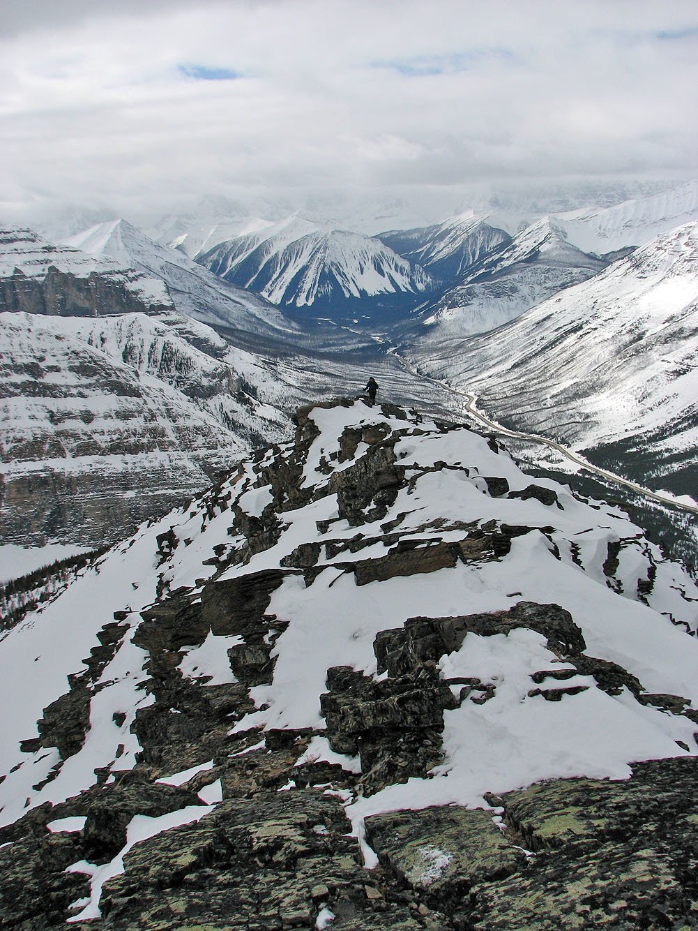
As far as I got
Stopped by a narrow ridge about two feet wide. Not seen in this foreshortened view, is a drop in the ridge
ahead.

82 N/1 Mount Goodsir