bobspirko.ca | Home | Canada Trips | US Trips | Hiking | Snowshoeing | MAP | About
Kent South Ridge
Kananaskis, Alberta
February 9, 2002
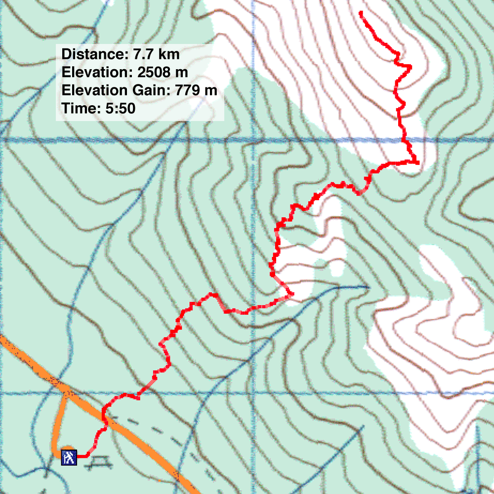
Distance: 7.7 km (4.8 mi)
Cumulative Elevation Gain: 790 m (2592 ft)
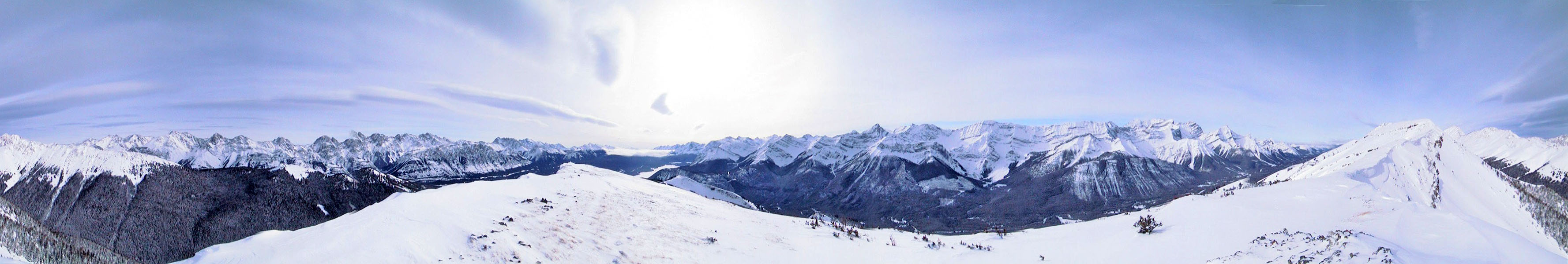
The south end of Kent Ridge offers a good climb on snowshoes. By keeping in the trees, we reached the crest while avoiding avalanche slopes. Dinah and I did this trip with the Hostel Outdoor Group led by Rick.
We parked at the Black Prince day use area and crossed the road to the lower slopes of Kent Ridge. Partway up we made the mistake of venturing too far right and came to an avalanche gully. We quickly corrected our course and continued on to reach a knob. After dropping down the other side of it, we continued climbing until we attained the crest and peered over the other side. While everyone else was content to rest, I continued up the ridge for nearly a kilometre to a point 120 m higher before turning around.
Note: Less ambition but worthwhile is following this route to the knob on Kent Ridge.
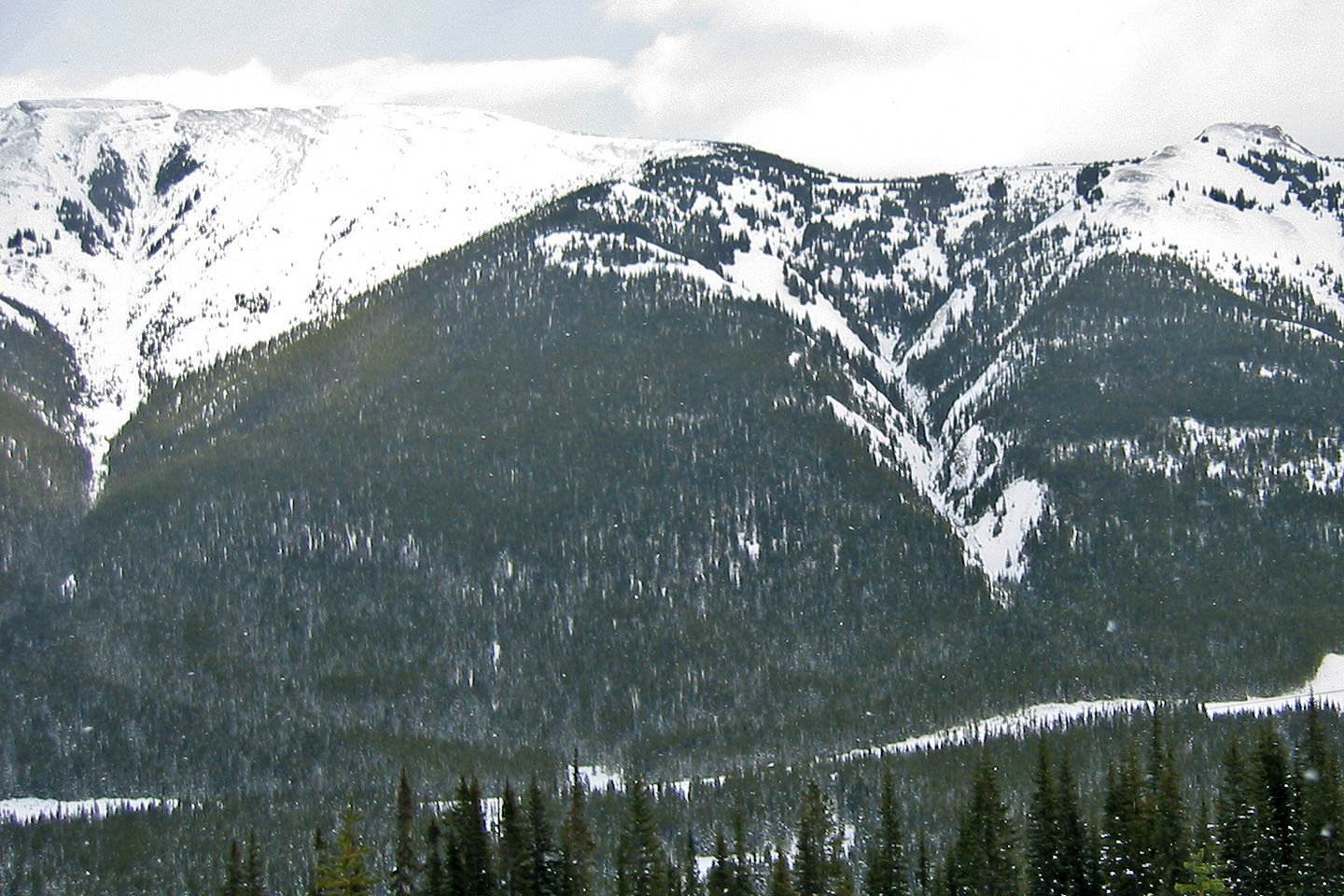
South end of Kent Ridge seen from Mount Warspite. I left the group on the
treed ridge (middle of photo) while I climbed to a higher point on the left.
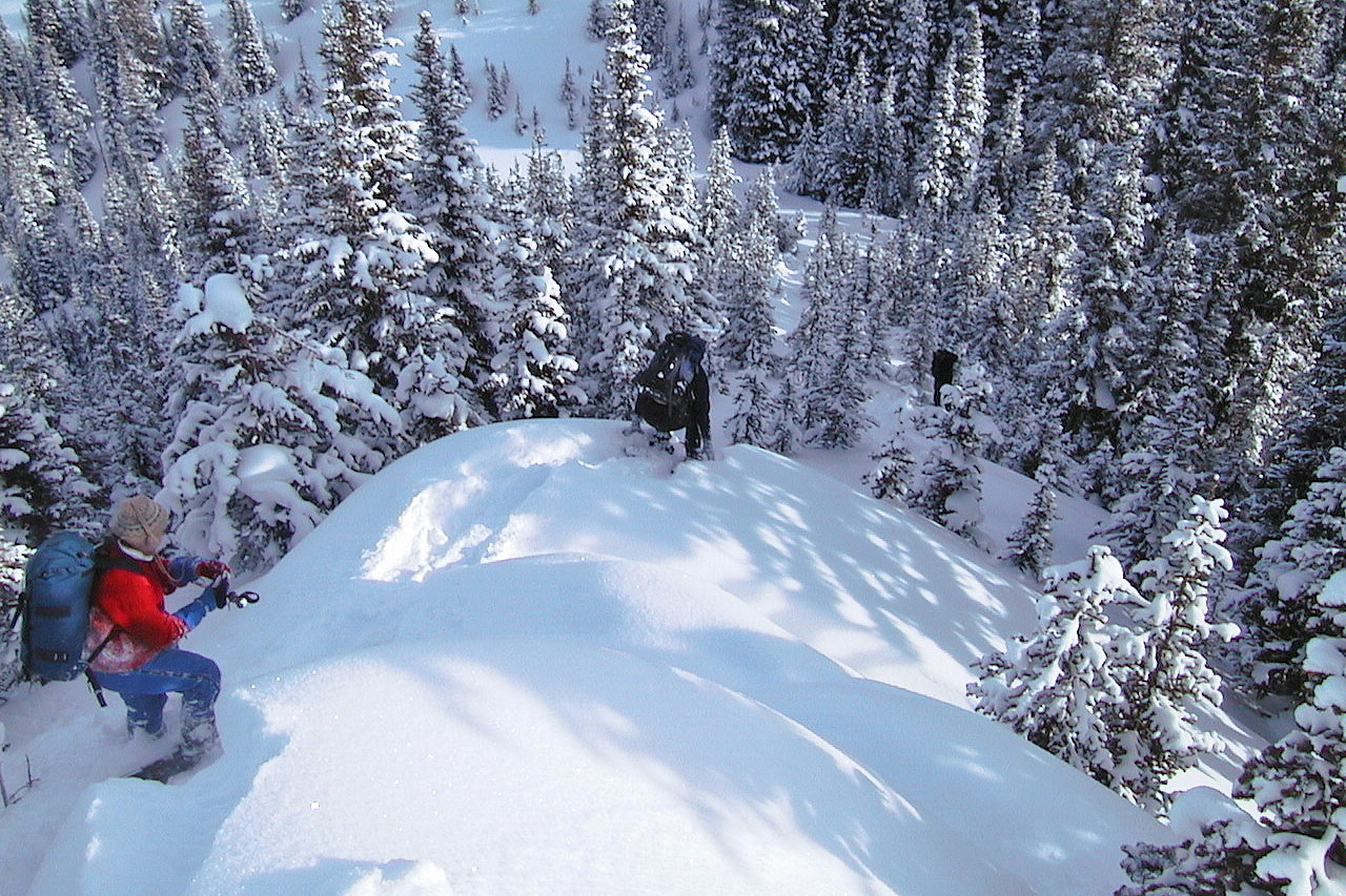
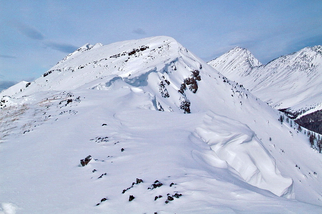
Dropping down from a knob on the slope
Looking back at the knob (mouse over to zoom in)
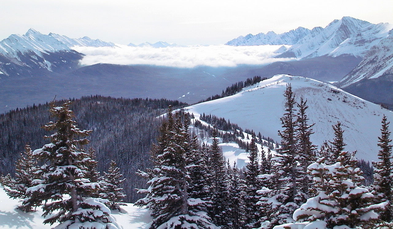
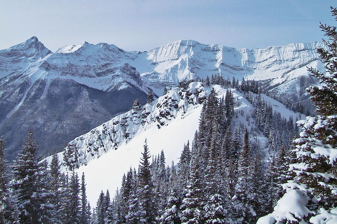
View of the end of the south end and cloud-covered Lower Kananaskis Lake
Another view of the knob we climbed over
Trees thinned near the crest
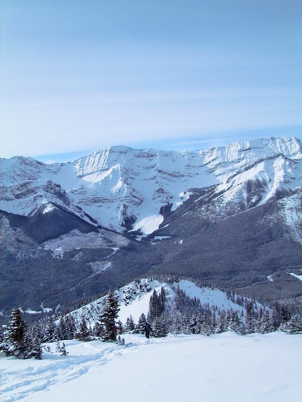
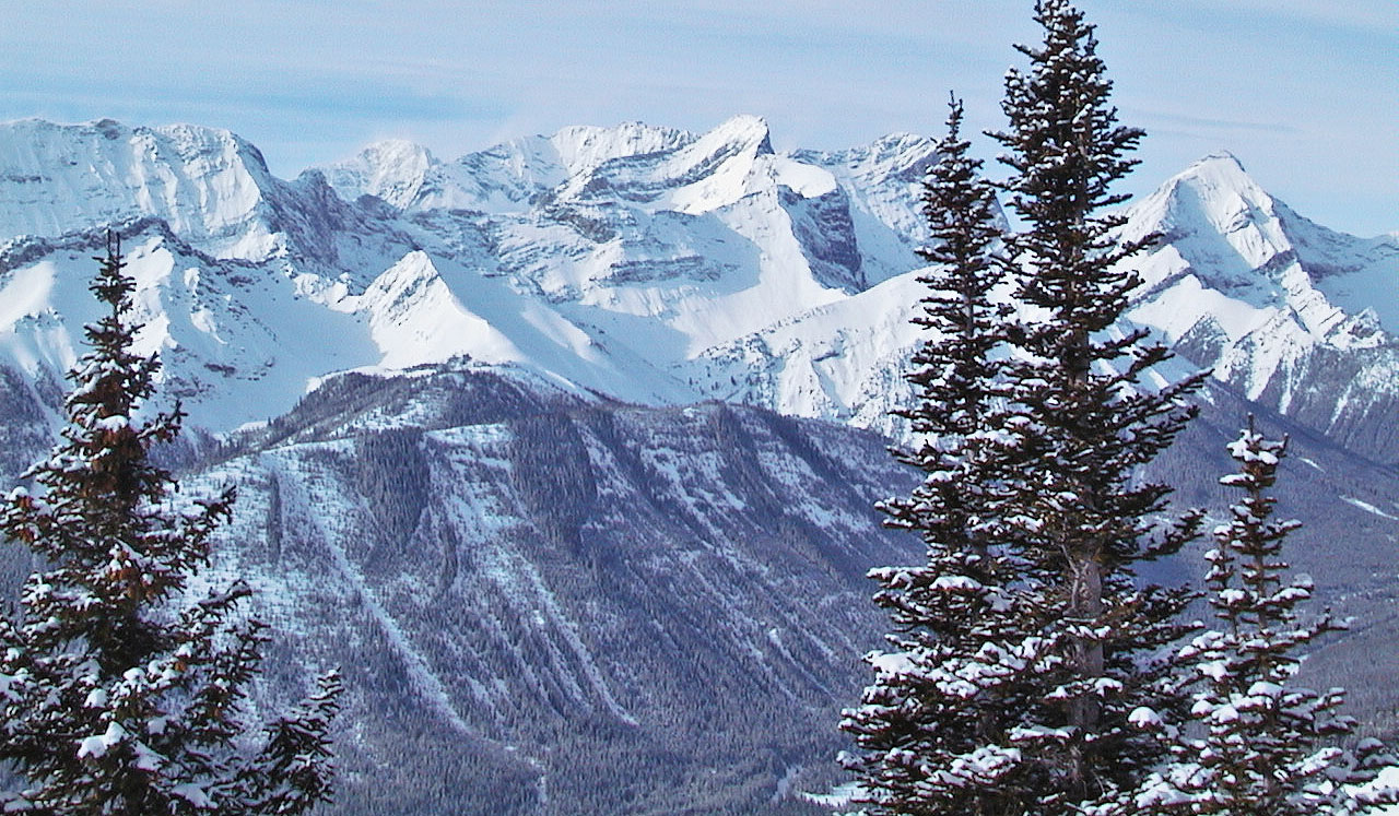
On the ridge crest looking west at the Opal Range
As far as I got. Is that Mount Kent on the left?
Black Prince Outlier below
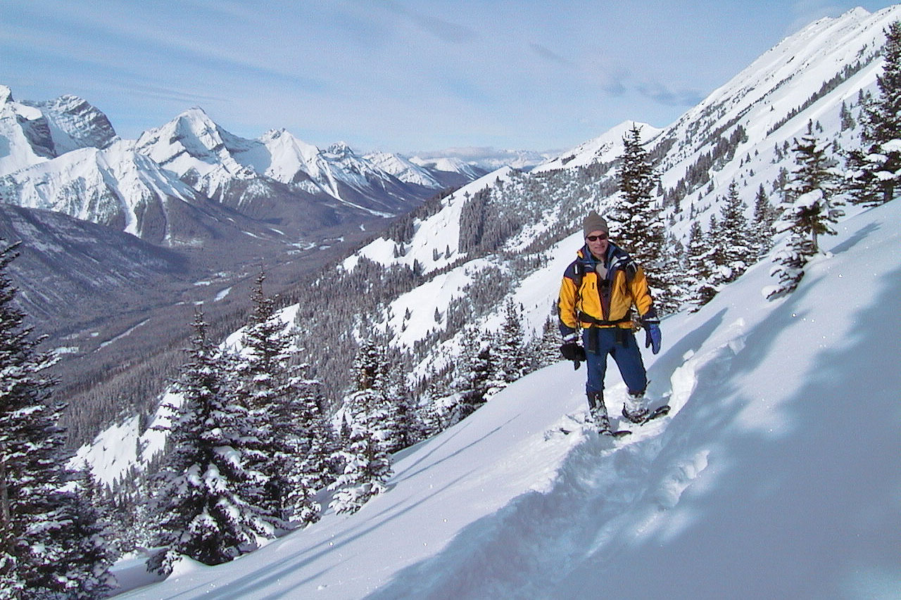
That's me posing for a photo
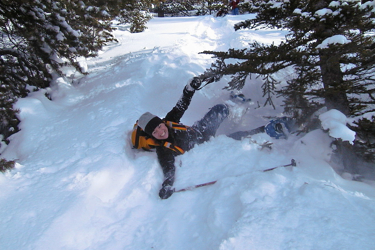
Rita takes a tumble
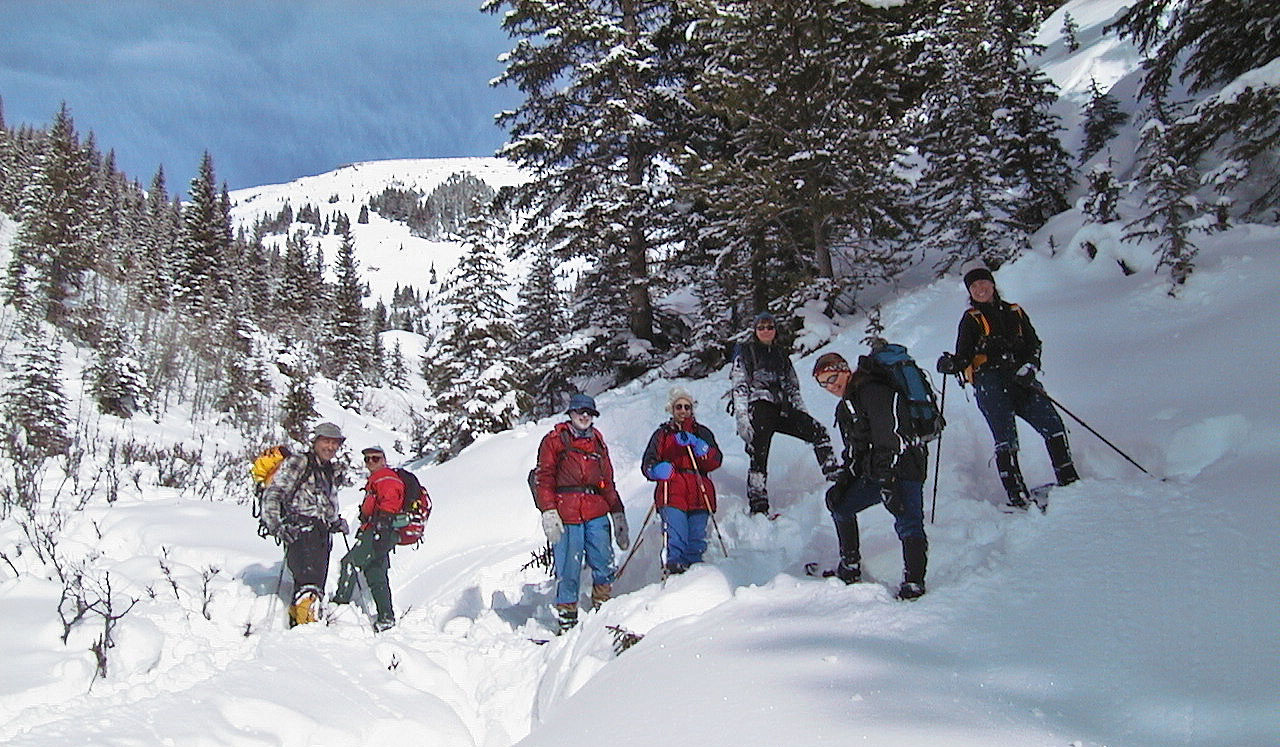
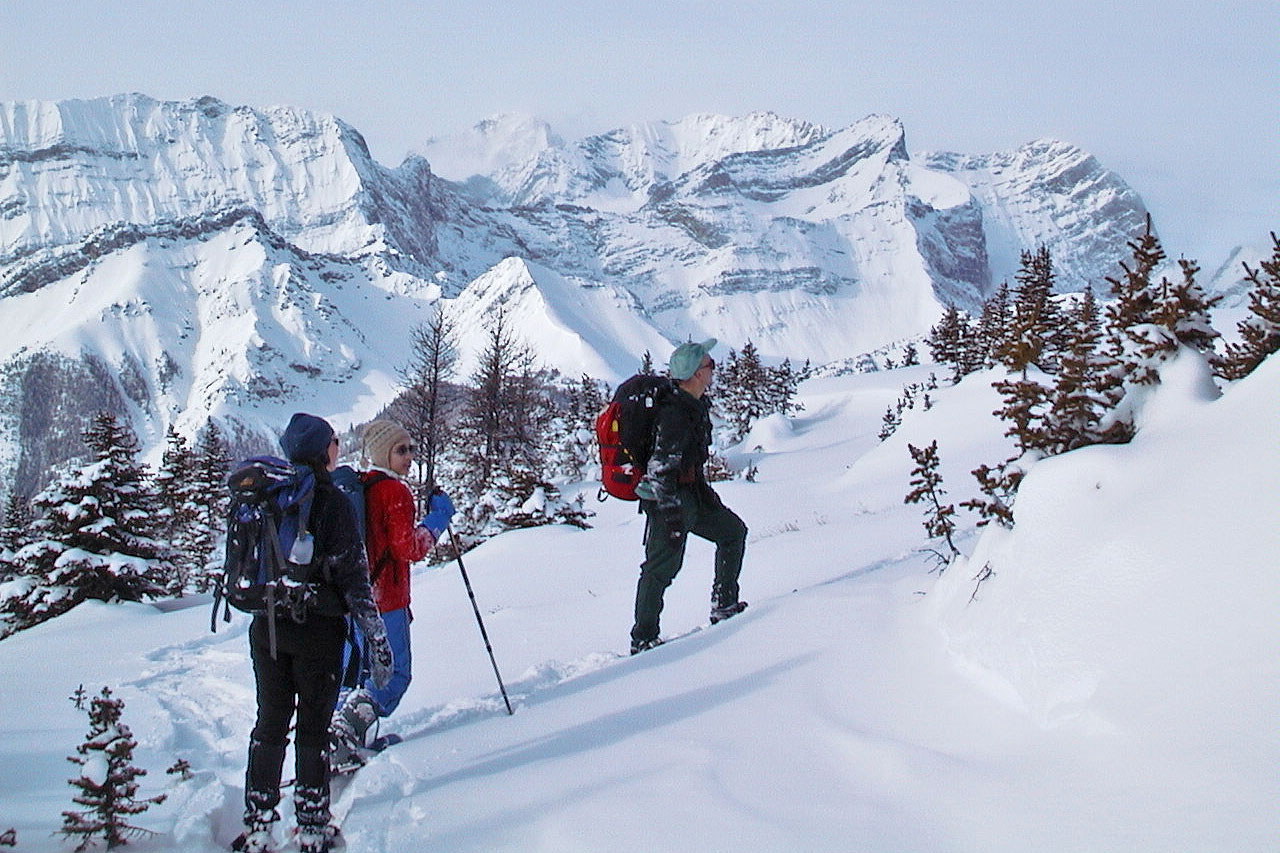
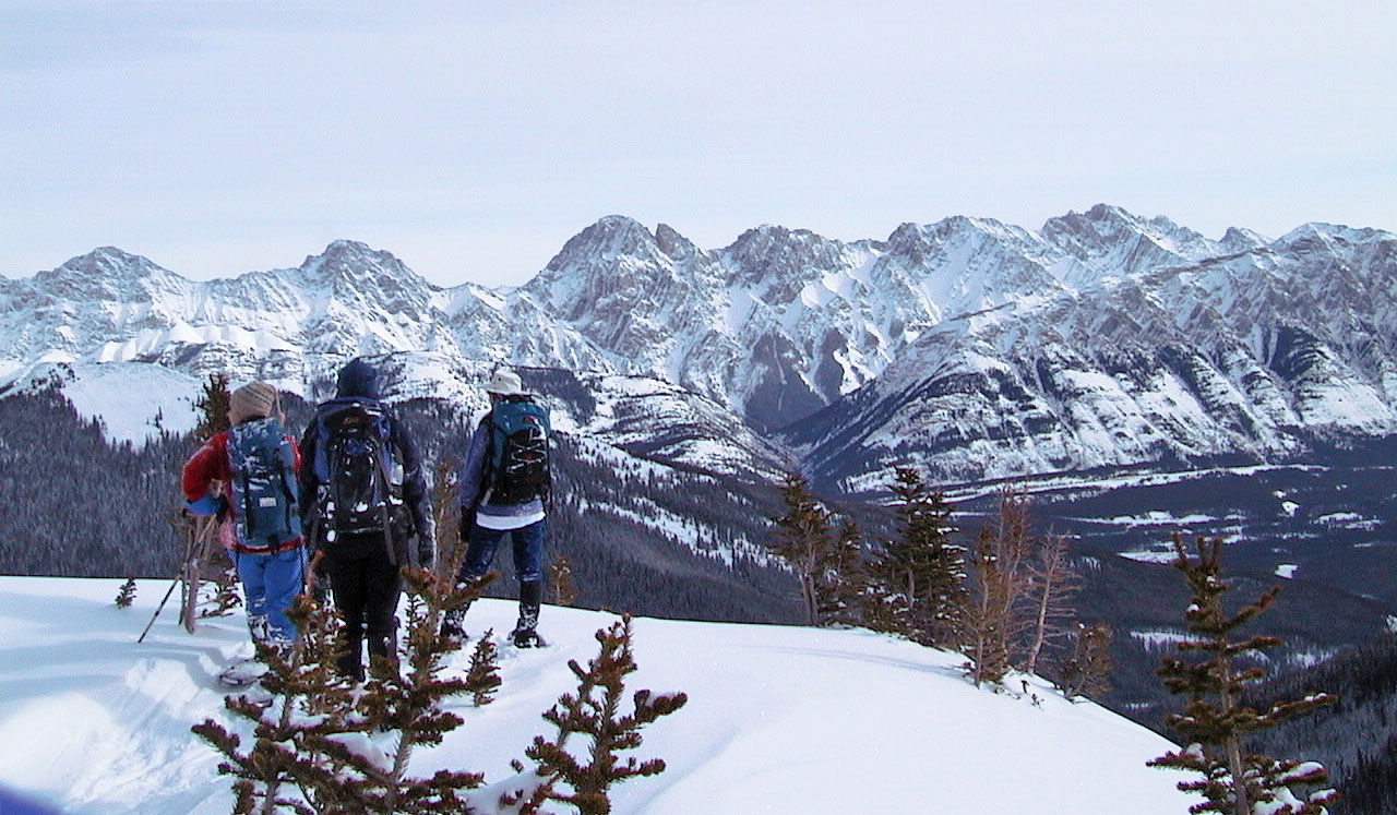
L to R: Vic, Rick, Yore, Sarah, Dinah, Zora and Rita
82 J/11 Kananaskis Lakes