bobspirko.ca | Home | Canada Trips | US Trips | Hiking | Snowshoeing | MAP | About
Haig Ridge
Castle Provincial Park Alberta
February 17, 2002
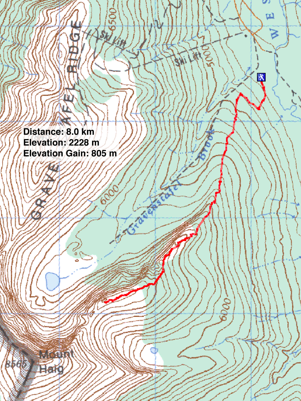
Distance: 8.0 km (5.0 mi)
Cumulative Elevation Gain: 810 m (2657 ft)
Our Haig Ridge trip started at the Castle Mountain Ski Resort, a half-hour drive west of Pincher Creek. From the resort, we climbed the northeast ridge of Mount Haig. After reaching the treeline, we stopped for lunch. Here we split up into two groups. A leisurely group comprising four snowshoers took a long lunch before turning around. Dinah Kruze, Lori Badran and I pushed on to the high point on the ridge. Just before the ridge crest, we removed our snowshoes and continued on foot to the top where we were treated to fine winter views, not to mention a mountain goat that fled before I could pull out my camera.
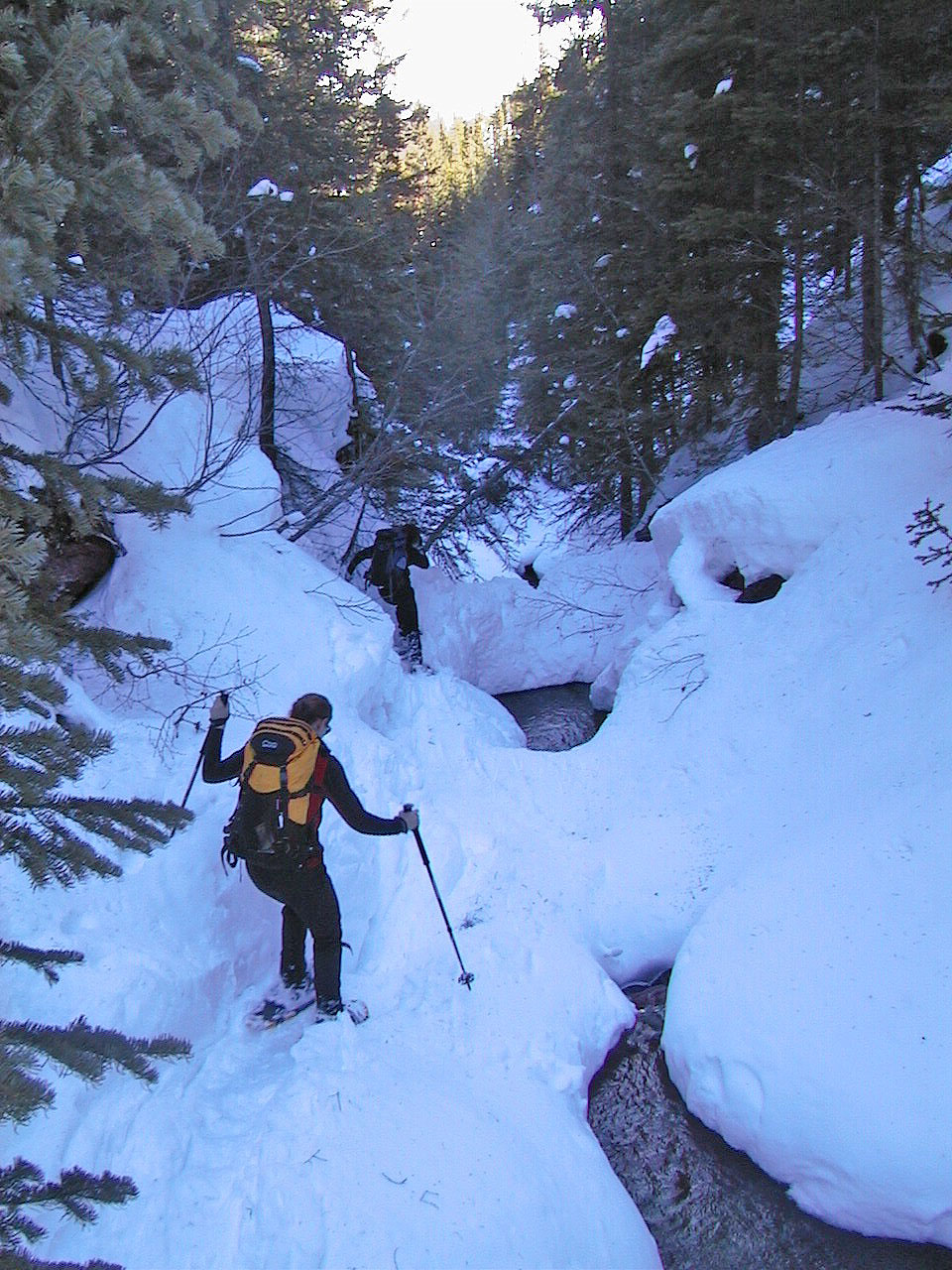
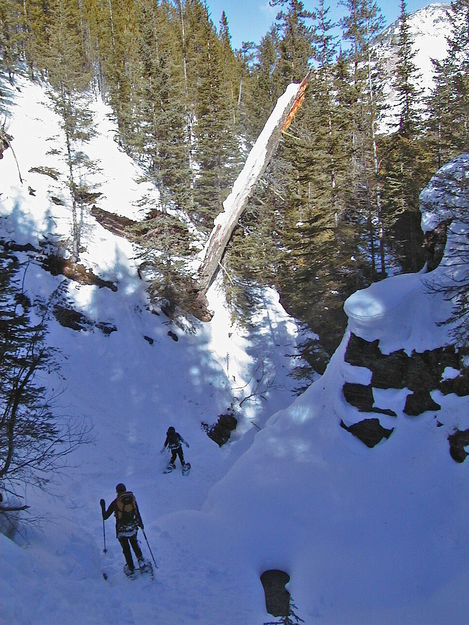
On our return (route not shown on the map), the three of us dropped down the west side of the ridge to the valley and followed Gravenstafel Brook back. It turned into a stunning canyon. Although beautiful, it became an adventure as the narrow canyon presented challenges. Eventually the three of us emerged from the canyon and caught up with the rest of our group.
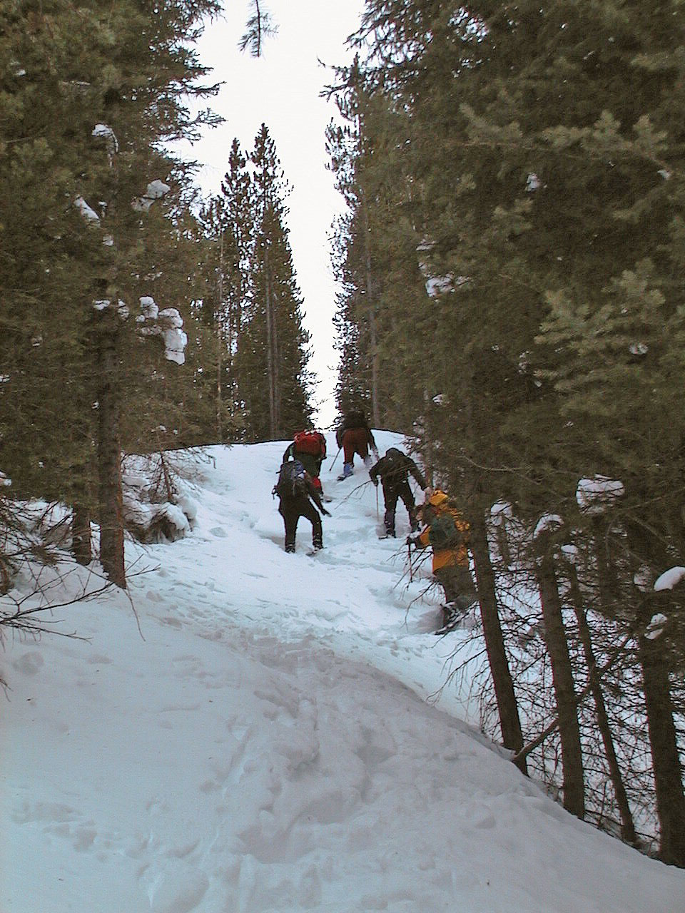
Heading up a cutline
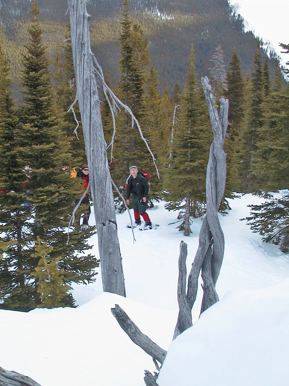
We passed intertwined trees on the ascent
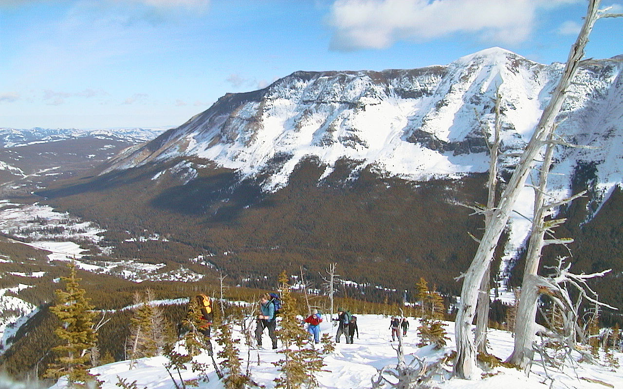
The ski hill, Gravenstafel ridge, lies in the background
Burnaby Ridge behind us
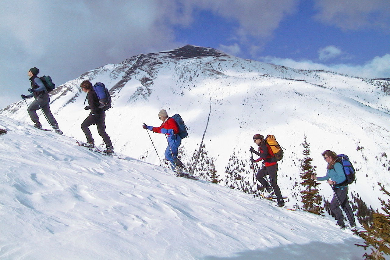
We split up soon after I took this photo
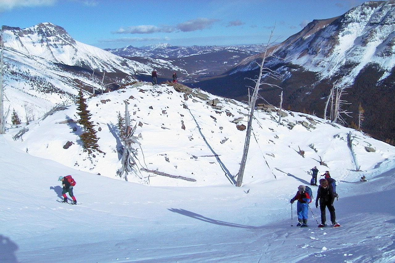
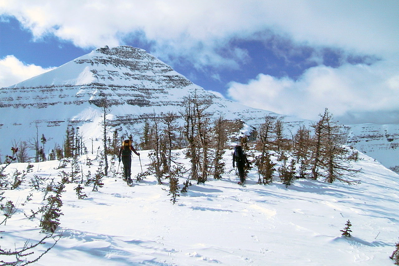
Dinah, Lori and I continued up the ridge
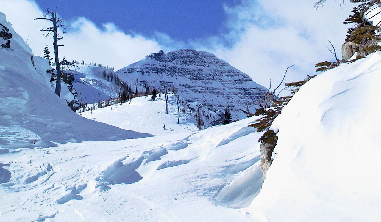
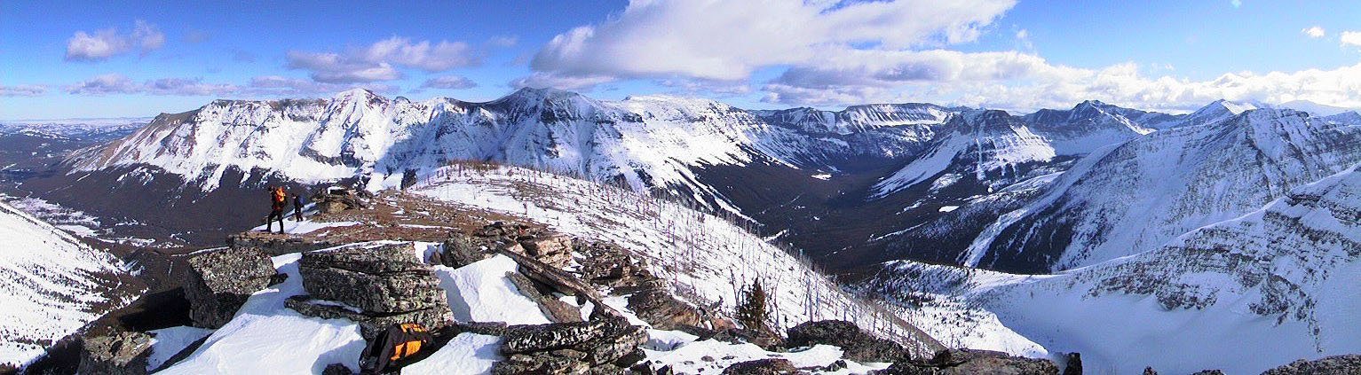
The ridge leads to Mount Haig seen here
The grade eases before the top
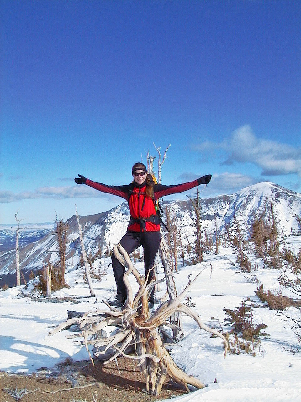
Lori hams it up
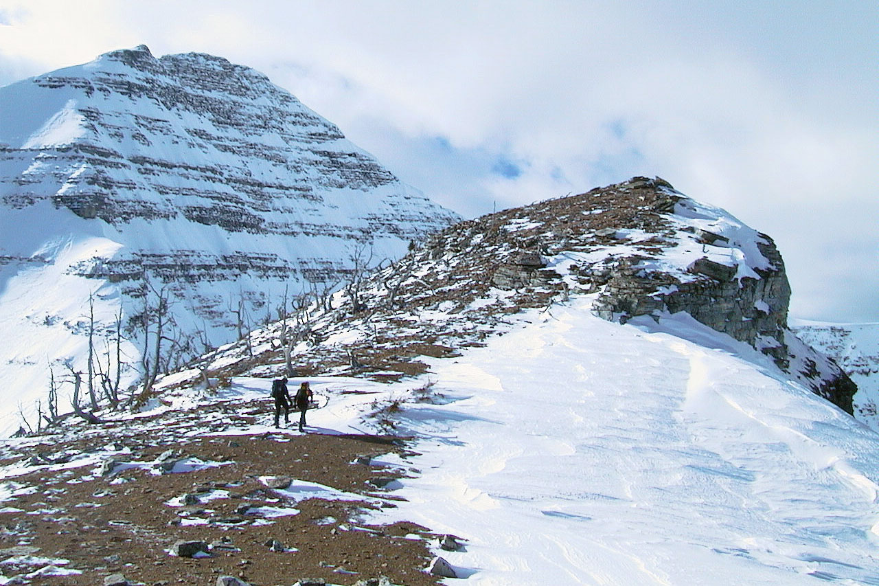
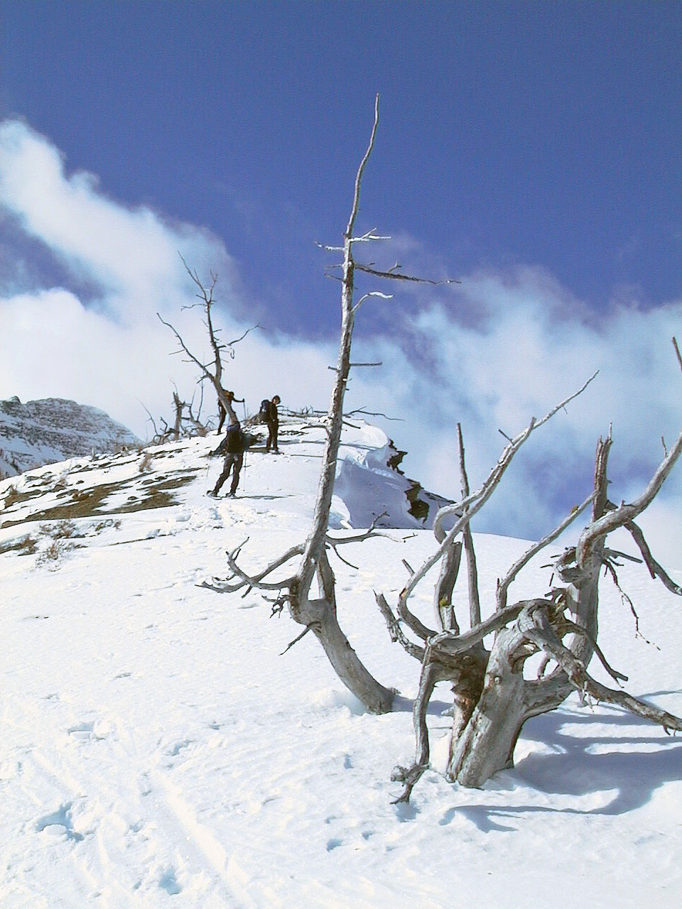
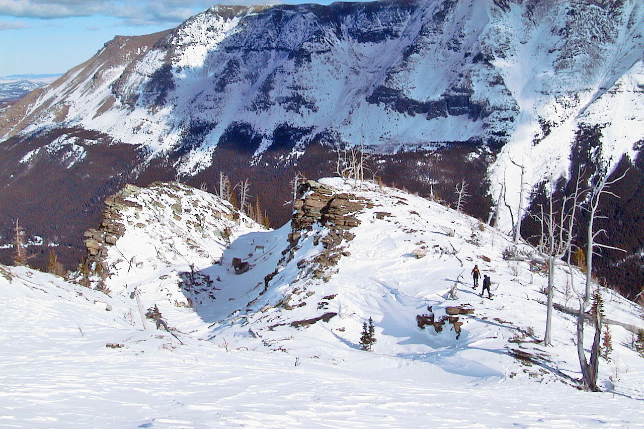
Lori and Dinah made their way to the highest point on the ridge
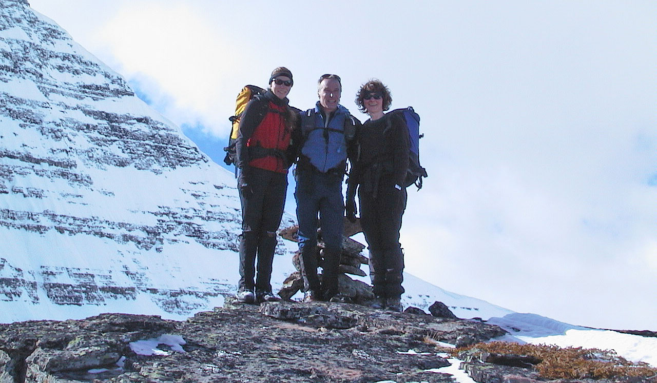
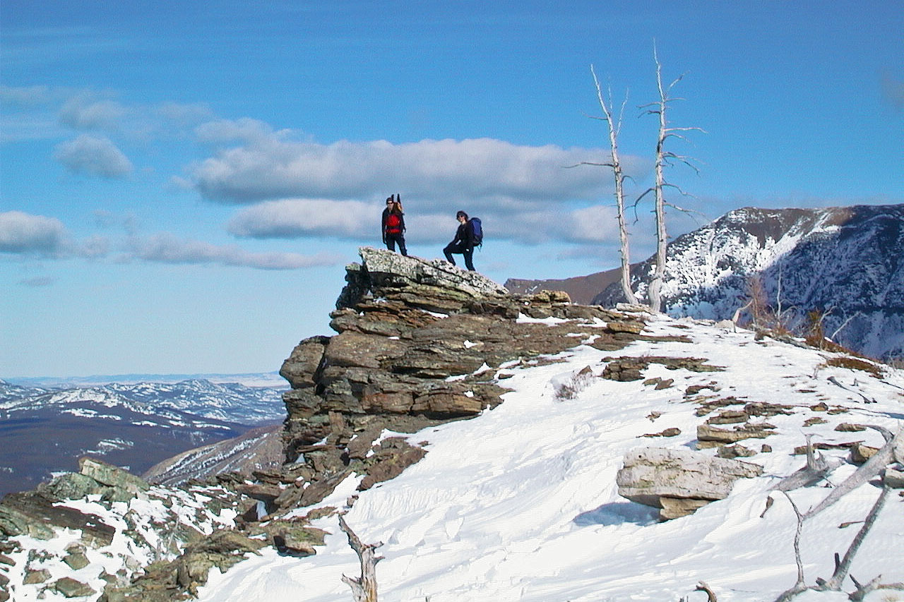
On top in front of the cairn
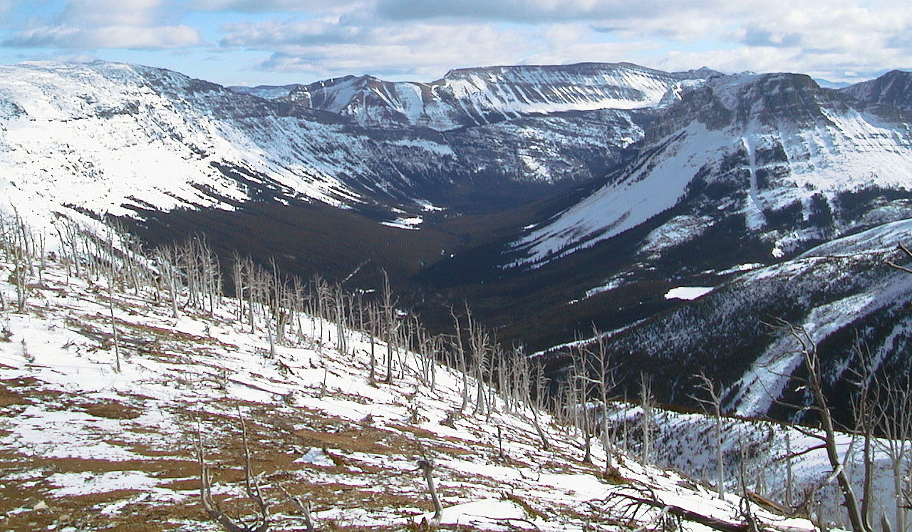
Looking northwest down the valley
Heading back
Lori and Dinah stop on an outcrop
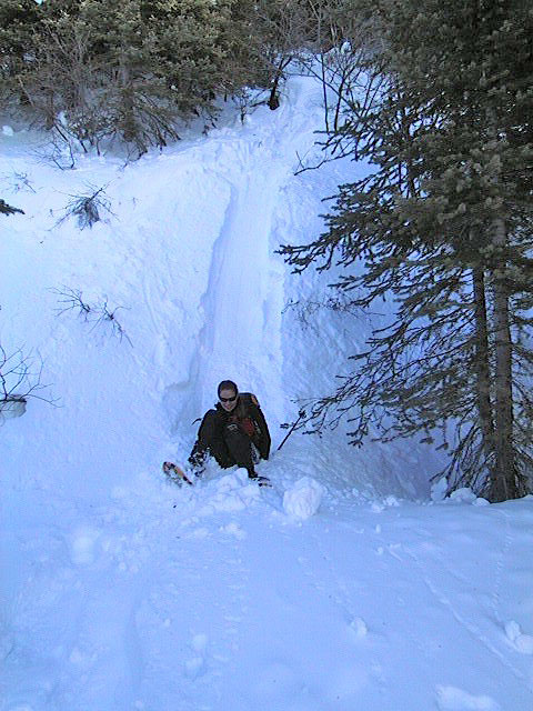
Lori slides down
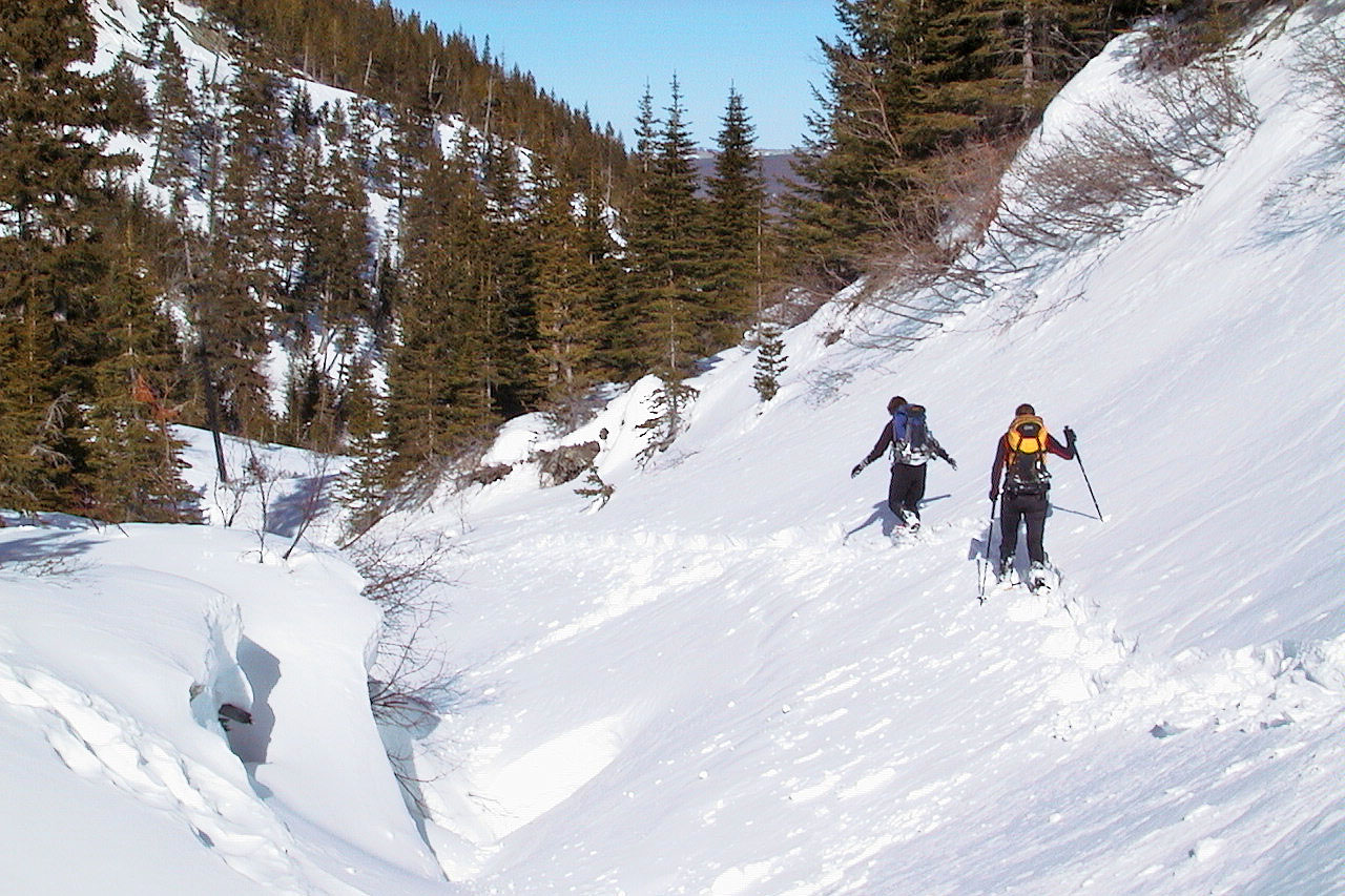
Returning via the creek
The creek drops into a canyon
We lost the sun as we dropped down to the creek
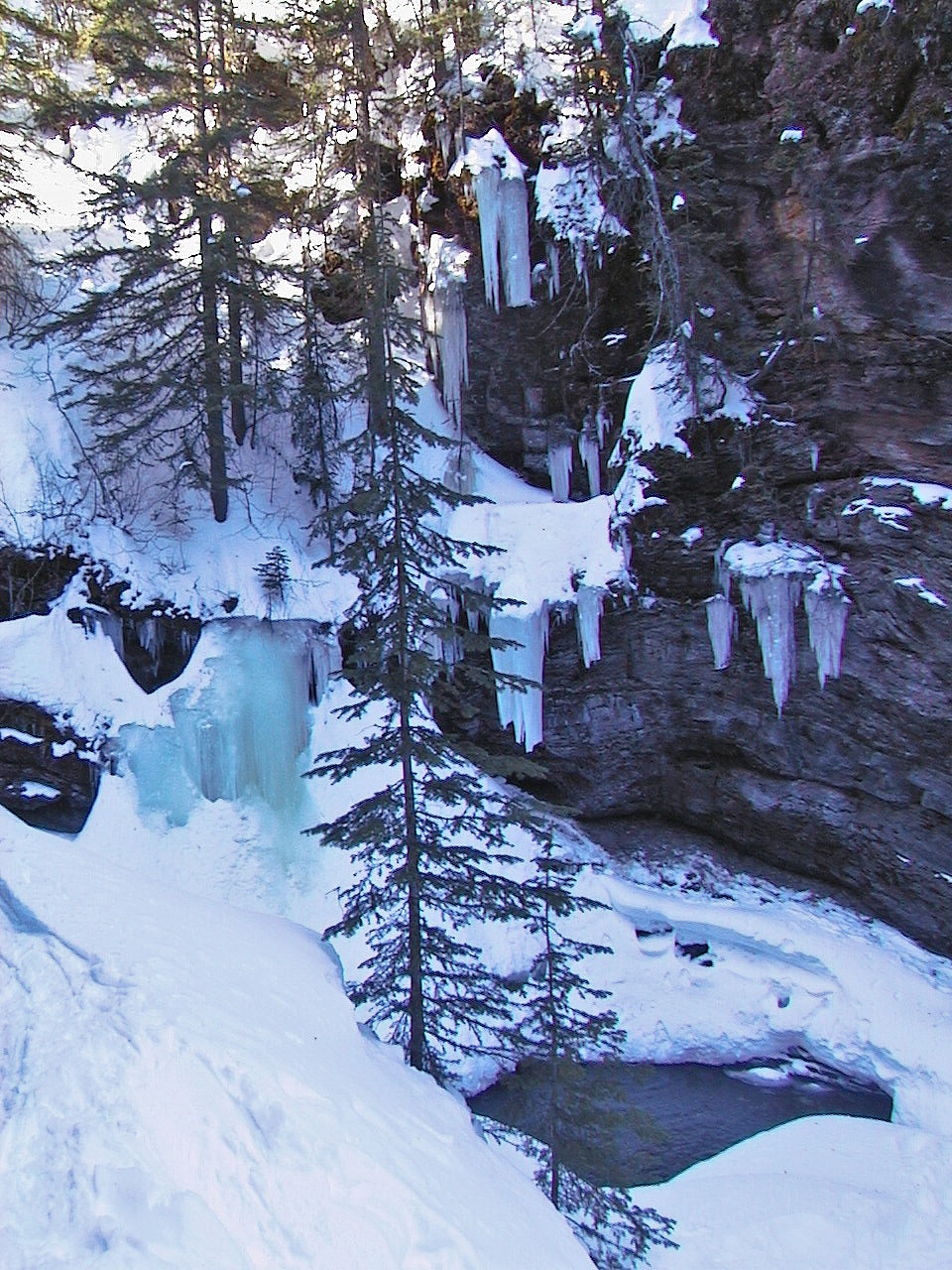
We passed an icefall
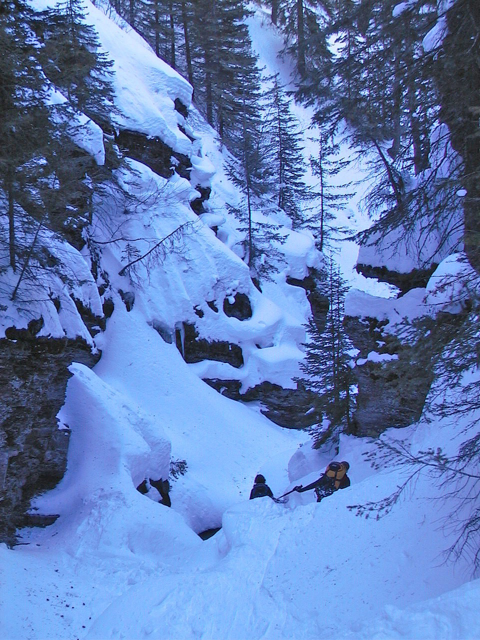
Negotiating the narrow confines of the canyon
82 G/8 Beaver Mines