bobspirko.ca | Home | Canada Trips | US Trips | Hiking | Snowshoeing | MAP | About
Gypsum Ridge
Kananaskis, Alberta
January 23, 2016
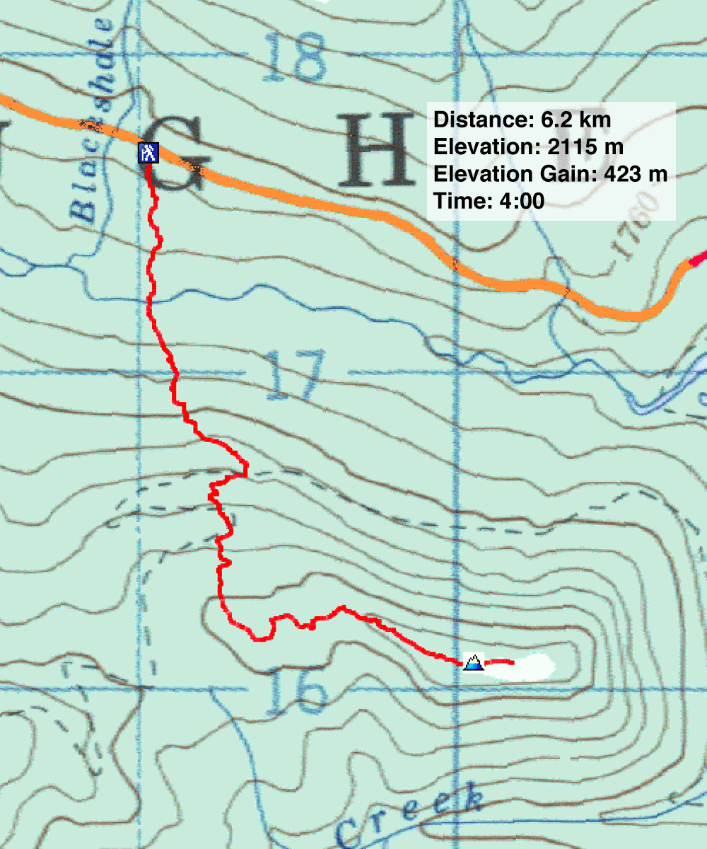
Distance: 6.2 km (3.9 mi)
Cumulative Elevation Gain: 504 m (1654 ft)
If the tracks we saw in the snow were any indication, Gypsum Ridge has become a popular destination for snowshoers and skiers alike. Pathways crisscrossed the northern slope.
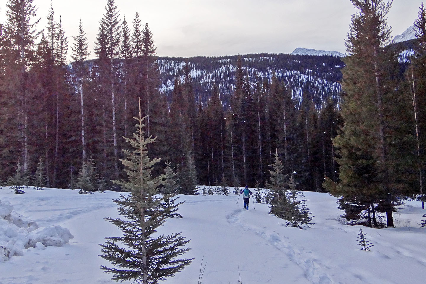
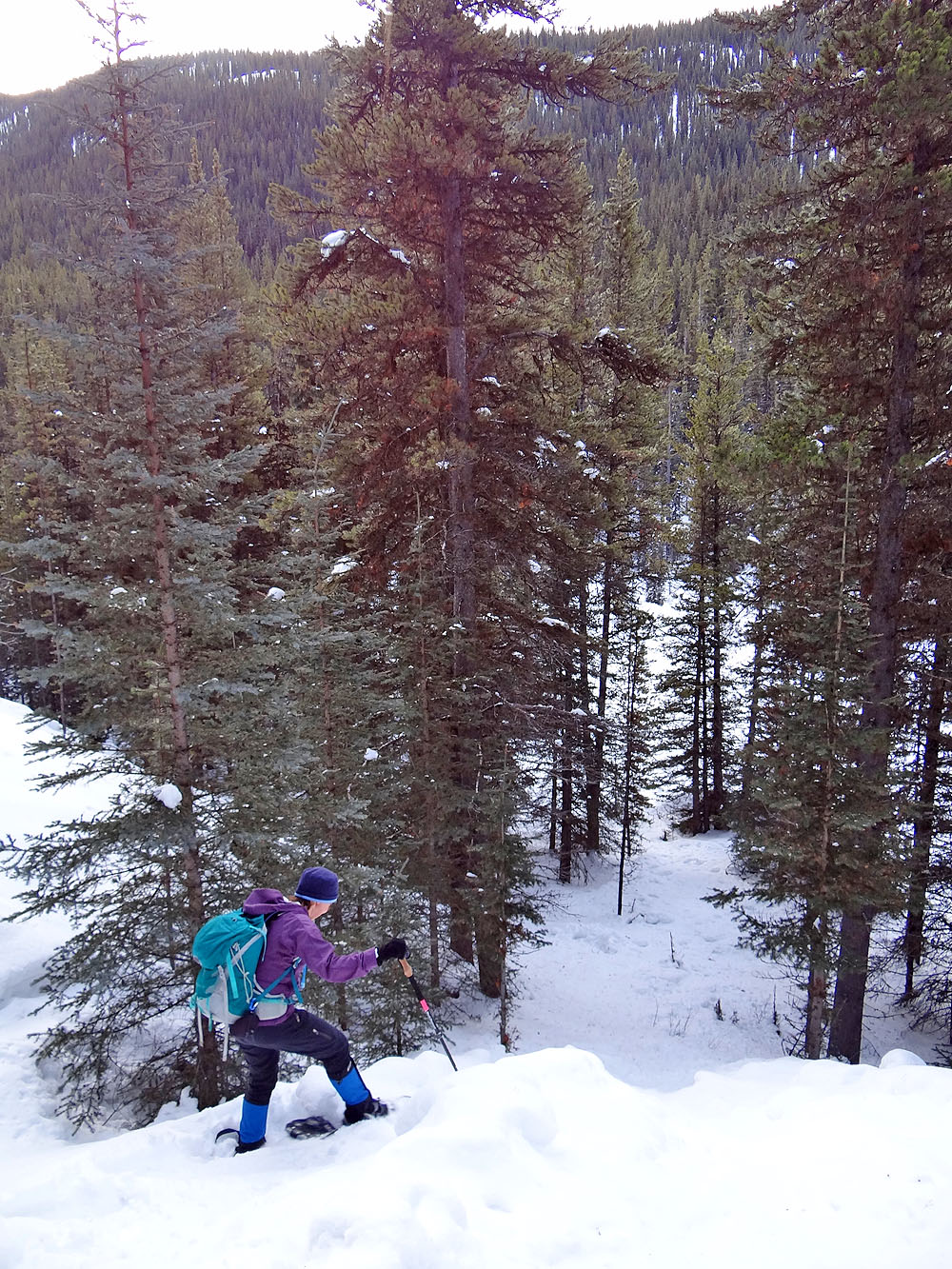
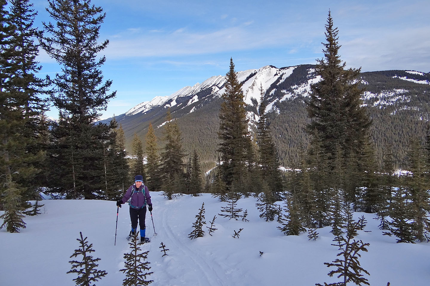
Reprising our 2002 trip, Dinah and I returned to do the same route. From our roadside parking spot on Smith-Dorrien Trail, we followed a well-beaten track down 86 m to the creek and up the other side. Soon, however, the track disappeared under a blanket of fresh snow. No matter as half-hidden tracks appeared everywhere and we soon found another one. Linking together a few old tracks, we made our way to the crest. It wasn’t the straightest path up, but the set tracks were too enticing to ignore against the aspect of breaking our own trail.
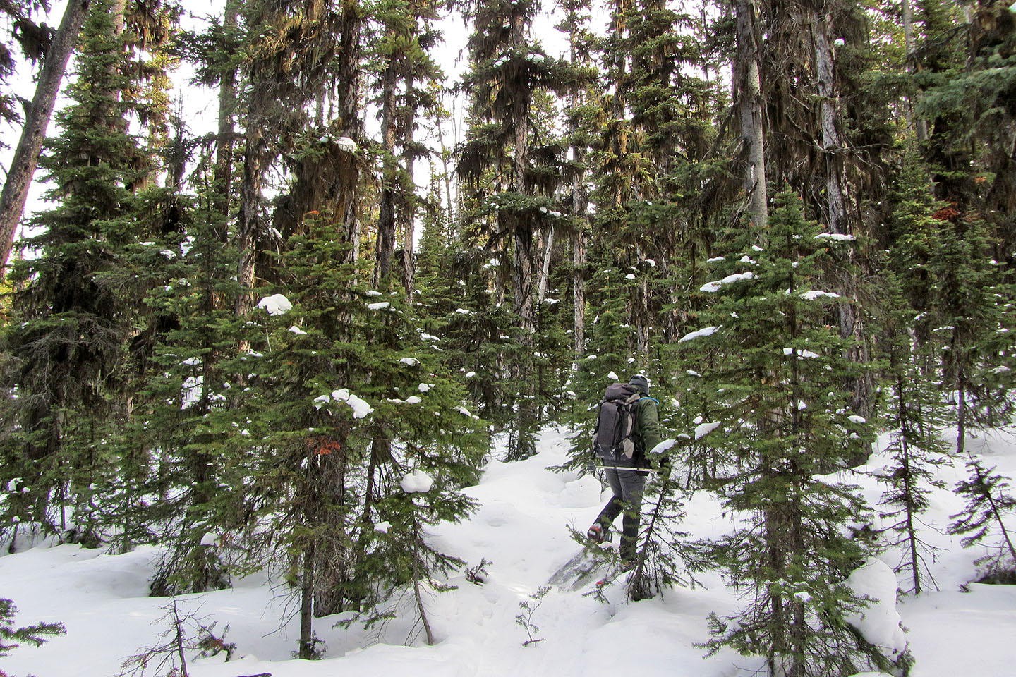
After gaining the ridge, we turned left. Broad and undulating at first, the treed ridge was disorienting, which might explain the meandering path we followed. Eventually, the ridge came into sharp focus as the slope fell away on either side. Then the trees disappeared on the right side and we stepped onto a cramped summit.
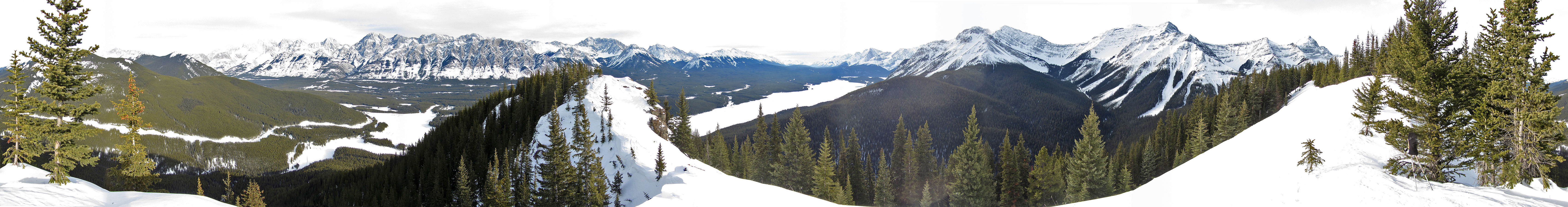
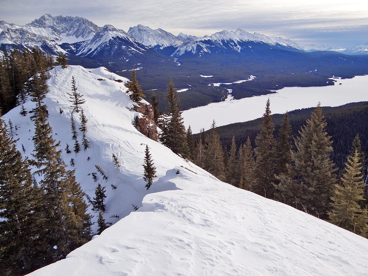
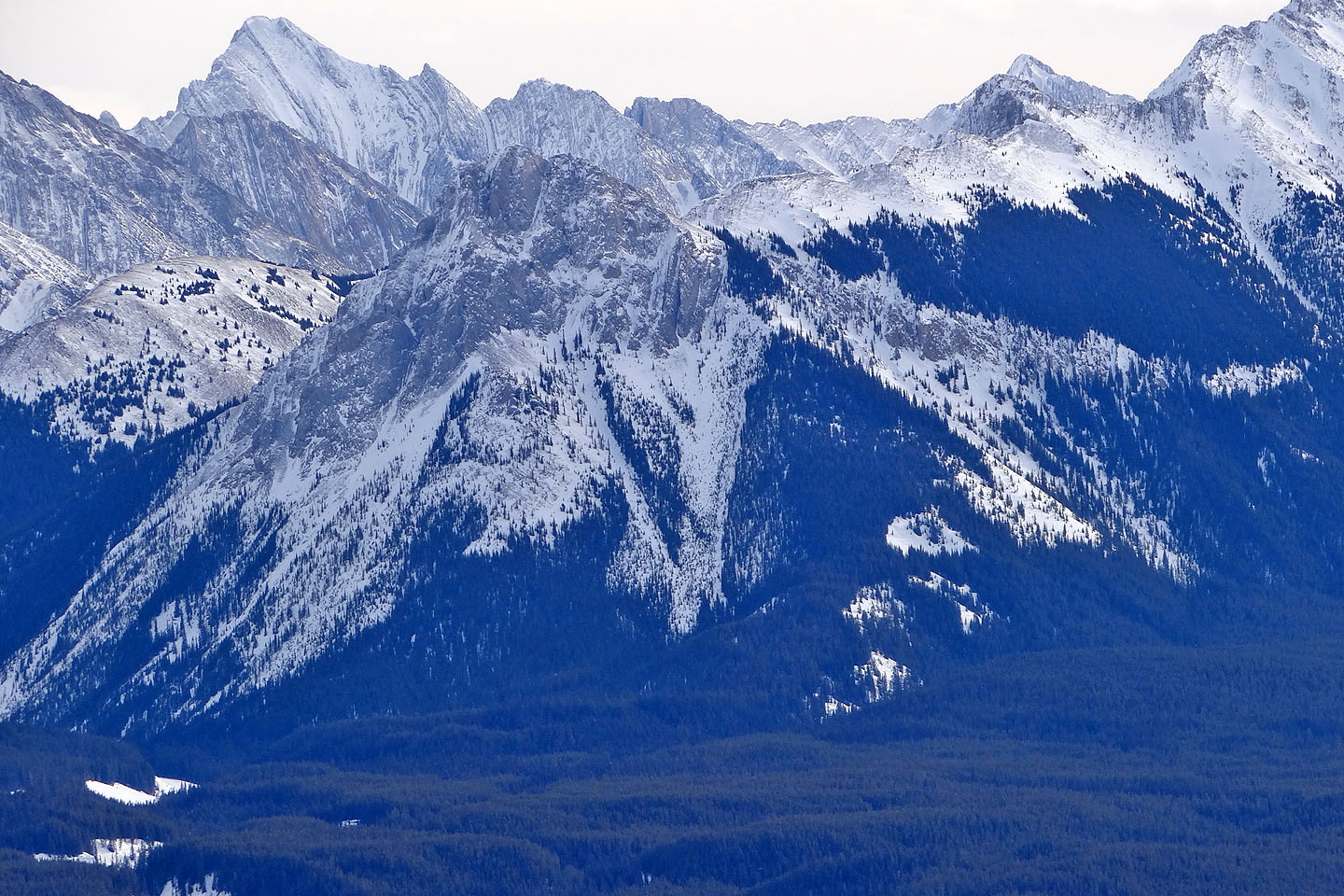
But a trip up Gypsum Ridge wouldn’t be complete without venturing to a viewpoint at the end of the ridge. Curiously, the stretch to the viewpoint appears more restricted now than in 2002, as if the wall of trees spread to encroach the crest, squeezing the walkable space against the sharp drop on the right. But the scene at the end still unfolds into a nearly 360° view of the peaks surrounding the frozen Kananaskis Lakes. It makes up for the time spent in the trees.
Gypsum Ridge seen from the road
The slope drops sharply just before Smith-Dorrien Creek
After dropping down 80 m from the road, we crossed the creek
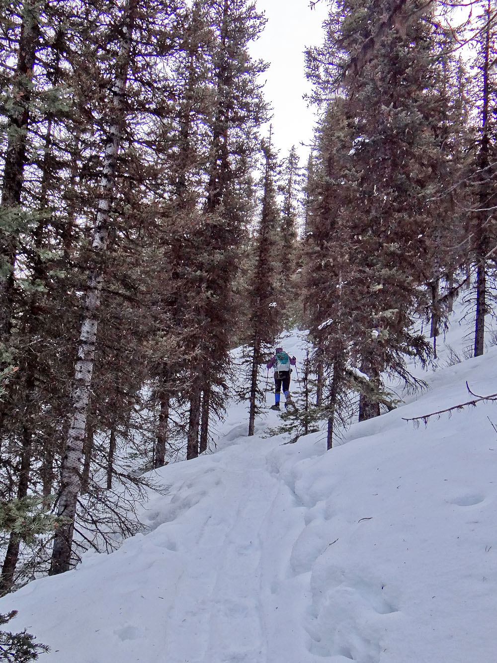
Dinah follows an old track up the slope
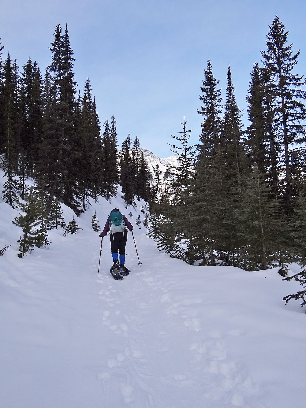
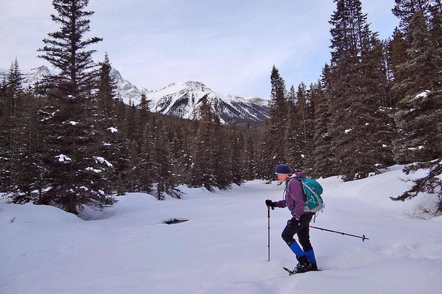
We followed an old mining road a short distance
We hit the same road again higher up at a switchback
After reaching the crest, we turned left and headed south along the ridge
Behind is the South Peak of Kent Ridge (mouse over for a close-up)
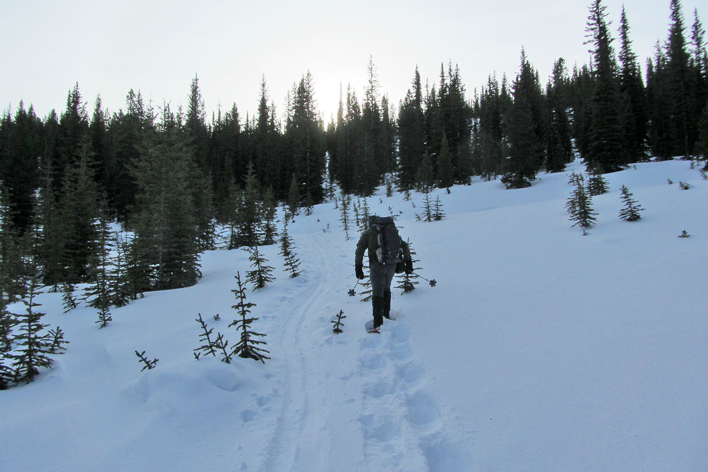
Here the ridge dips before rising again
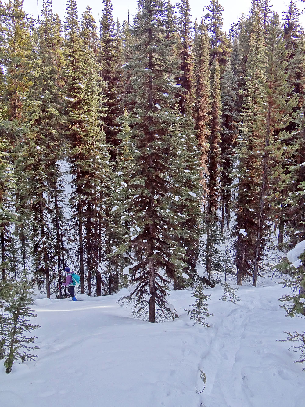
We passed through trees draped with moss
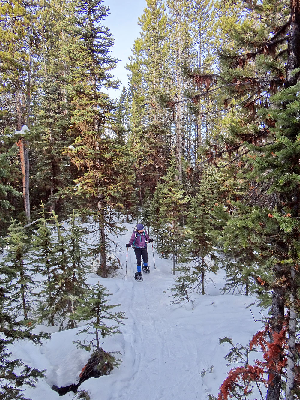
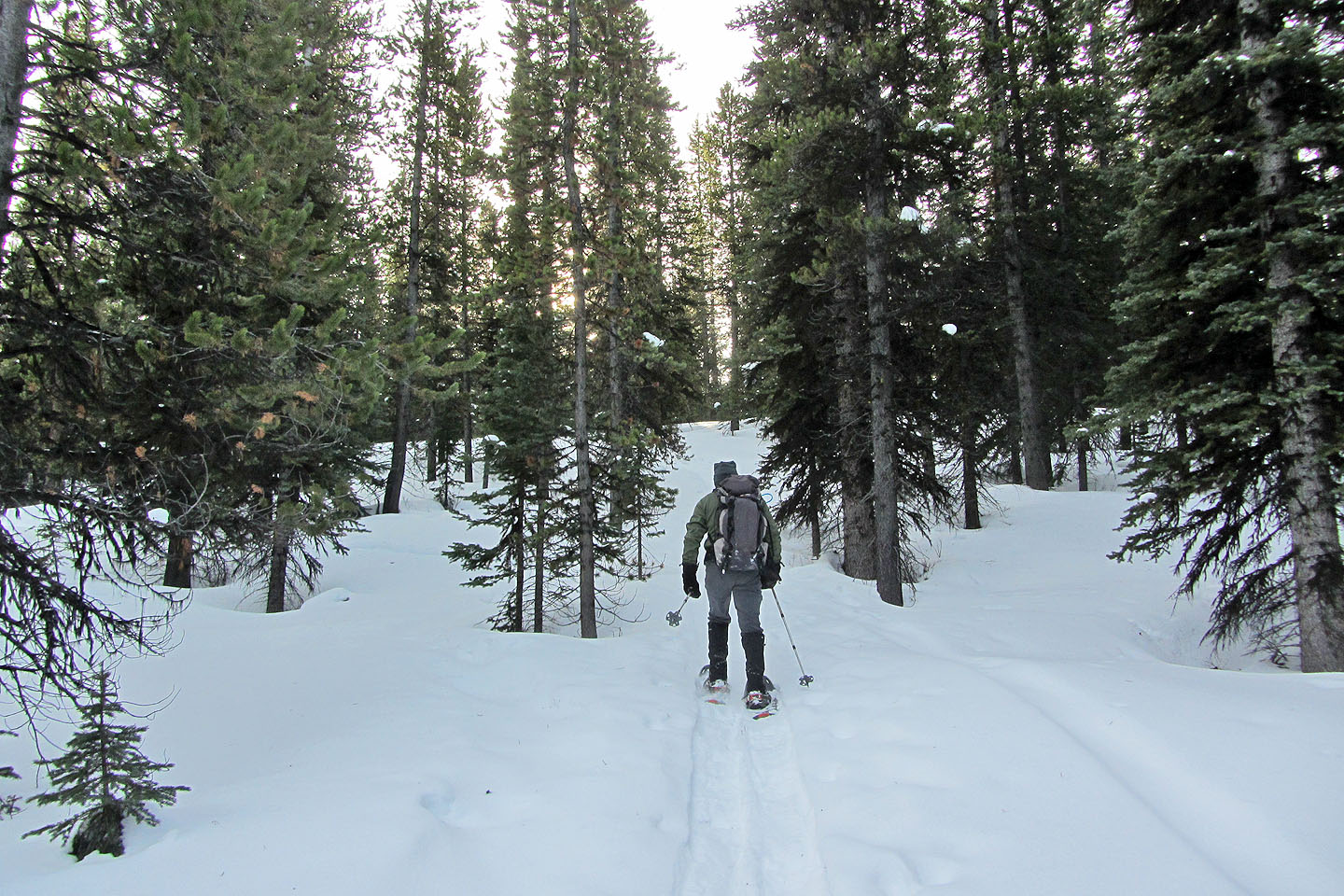
The ridge finally becomes well-defined and easy to follow
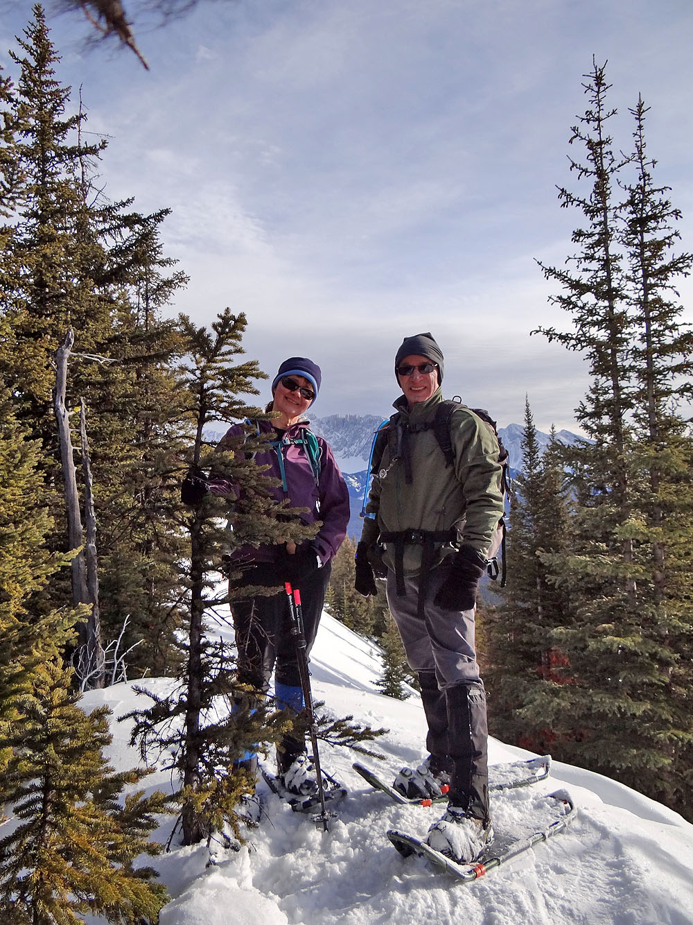
Standing on the summit
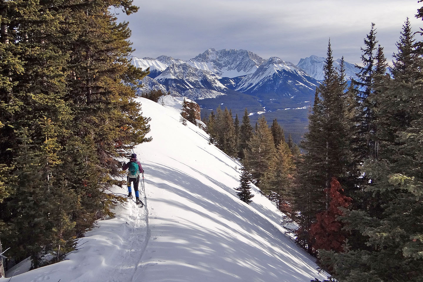
A short distance past the summit is a worthwhile viewpoint
The ridge ends in a rocky knob. Skiers apparently cut below the crest to reach it. We easily traversed it last time, but this time the
steep drop was covered with hard, slick snow.
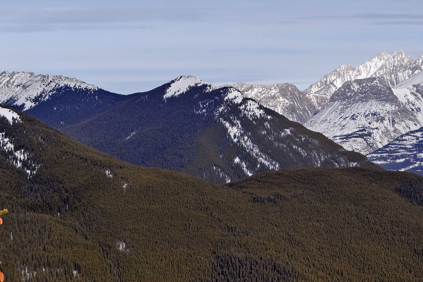
Little Lawson aka South End of Lawson (mouse over for a summit close-up)
Mount Roberta which we climbed late in the season last year
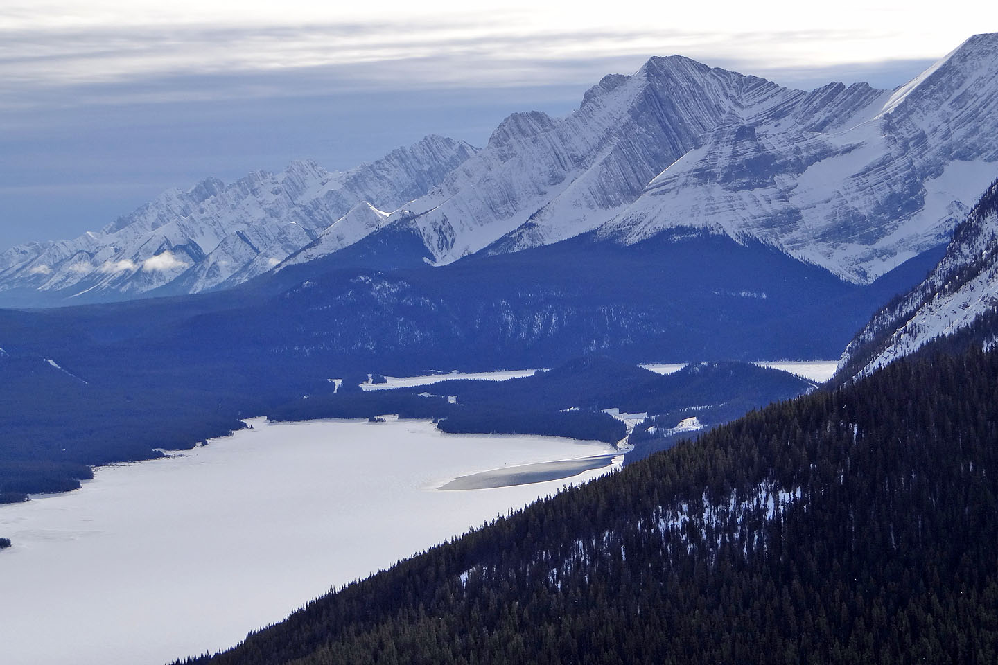
A close look at Kananaskis Lakes
82 J/11 Kananaskis Lakes