bobspirko.ca | Home | Canada Trips | US Trips | Hiking | Snowshoeing | MAP | About
The Fist
Kananaskis, Alberta
July 31, 2004
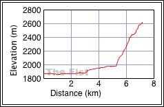
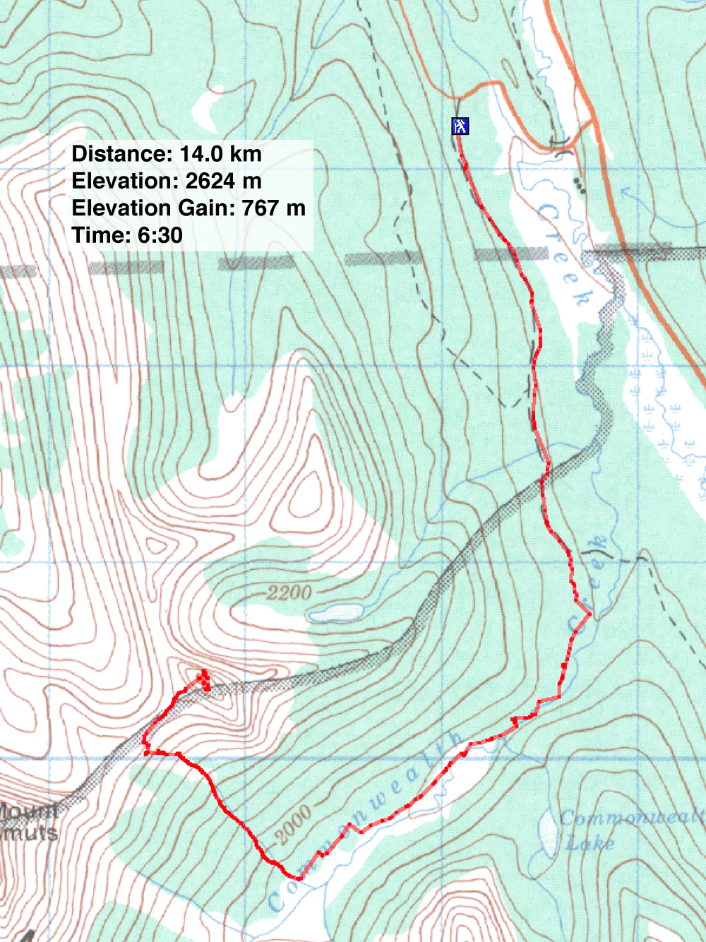
Distance: 14.0 km (8.7 mi)
Cumulative Elevation Gain: 770 m (2526 ft)
Dinah and I attempted The Fist the previous year, but a sudden 45-minute rainstorm left us completely soaked, and the rocks so slippery we had to abort. This time we had good weather and topped the summit without incident.
Starting on the Mount Shark access road, we hiked up the road before turning onto the trail running alongside Commonwealth Creek. 5 km from the trailhead, we left the trail and started up a bushy drainage. We topped out on the Smuts-Fist col. From there, the route soon became a hands-on climb. We scrambled up the narrow gully to the skyline notch, and mindful of the exposure here, we turned left and made our way to the summit.
The Fist is an enjoyable scramble. The exposure is easy to take as it's not in your face. Downclimbing the gully was the most challenging section.
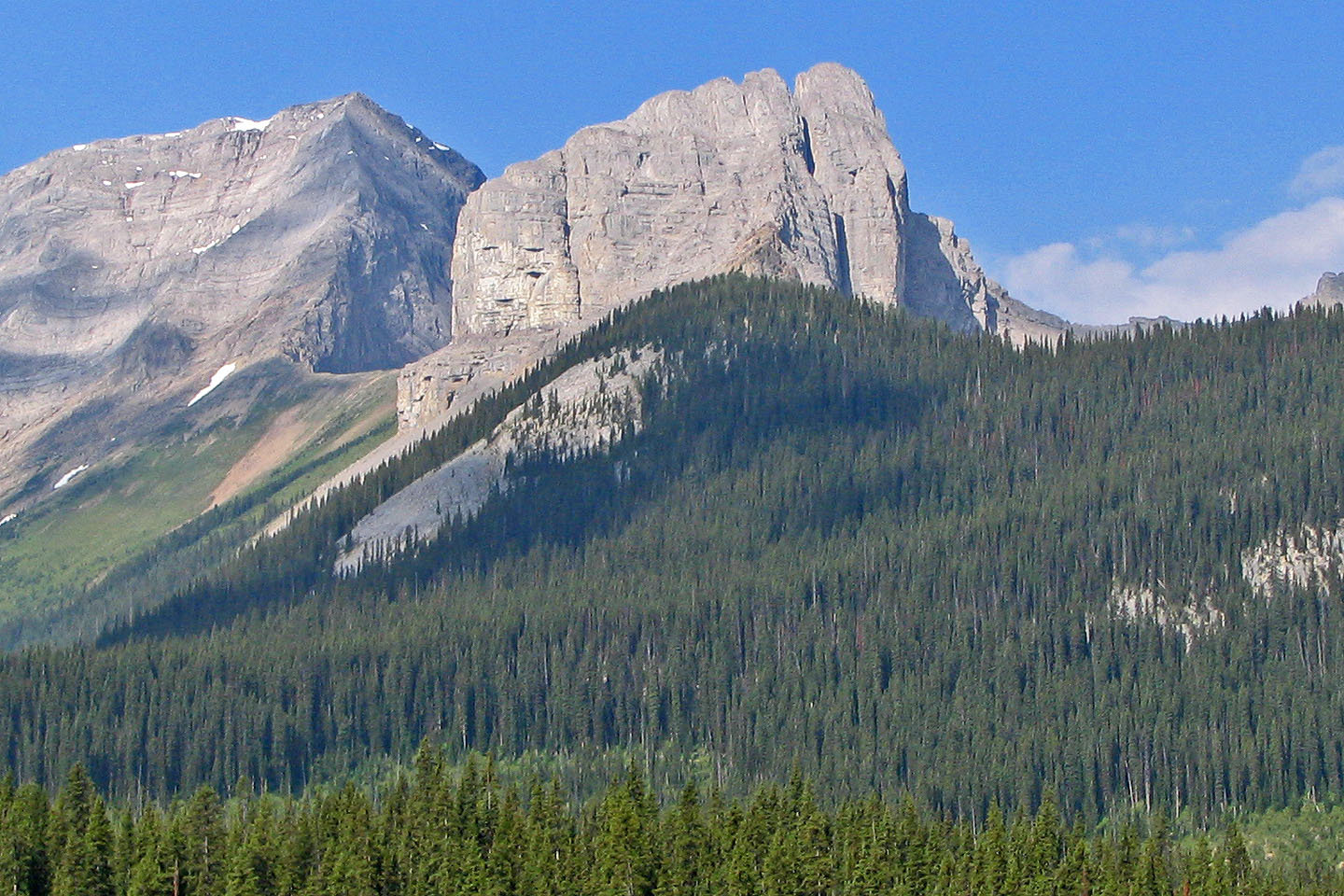
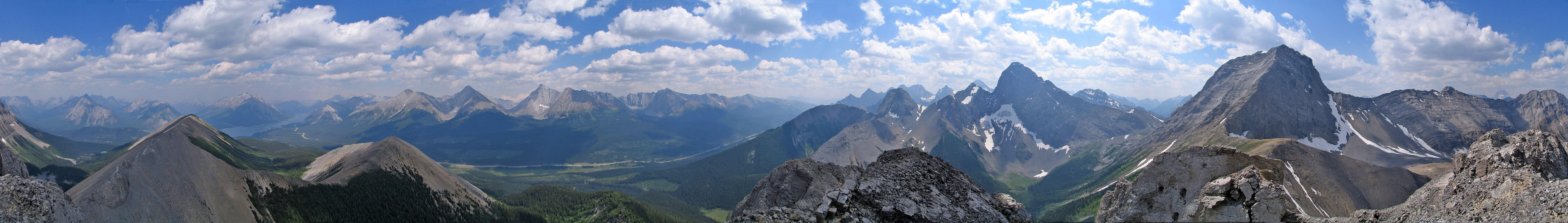
The Fist seen from Spray Lakes Road
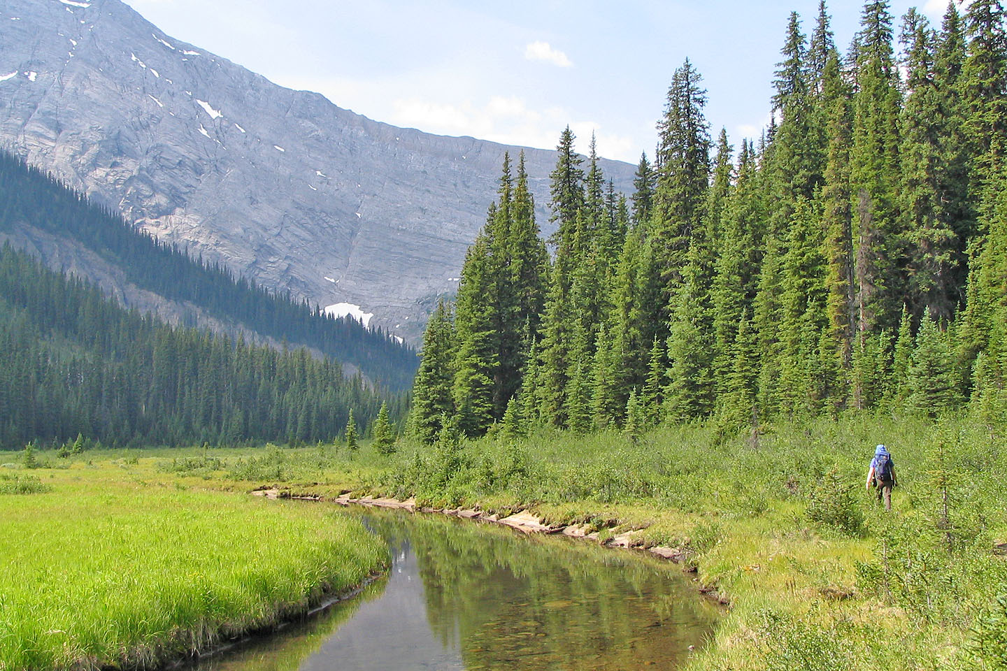
Pleasant hiking along Commonwealth Creek before leaving the trail
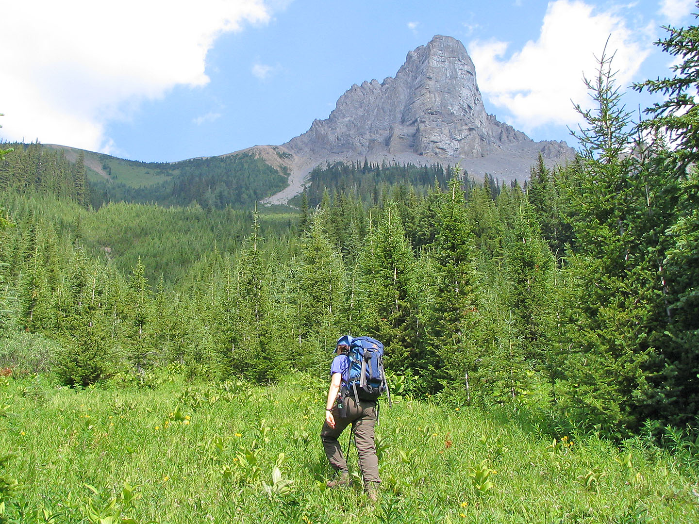
Starting up the drainage. The Fist is above.
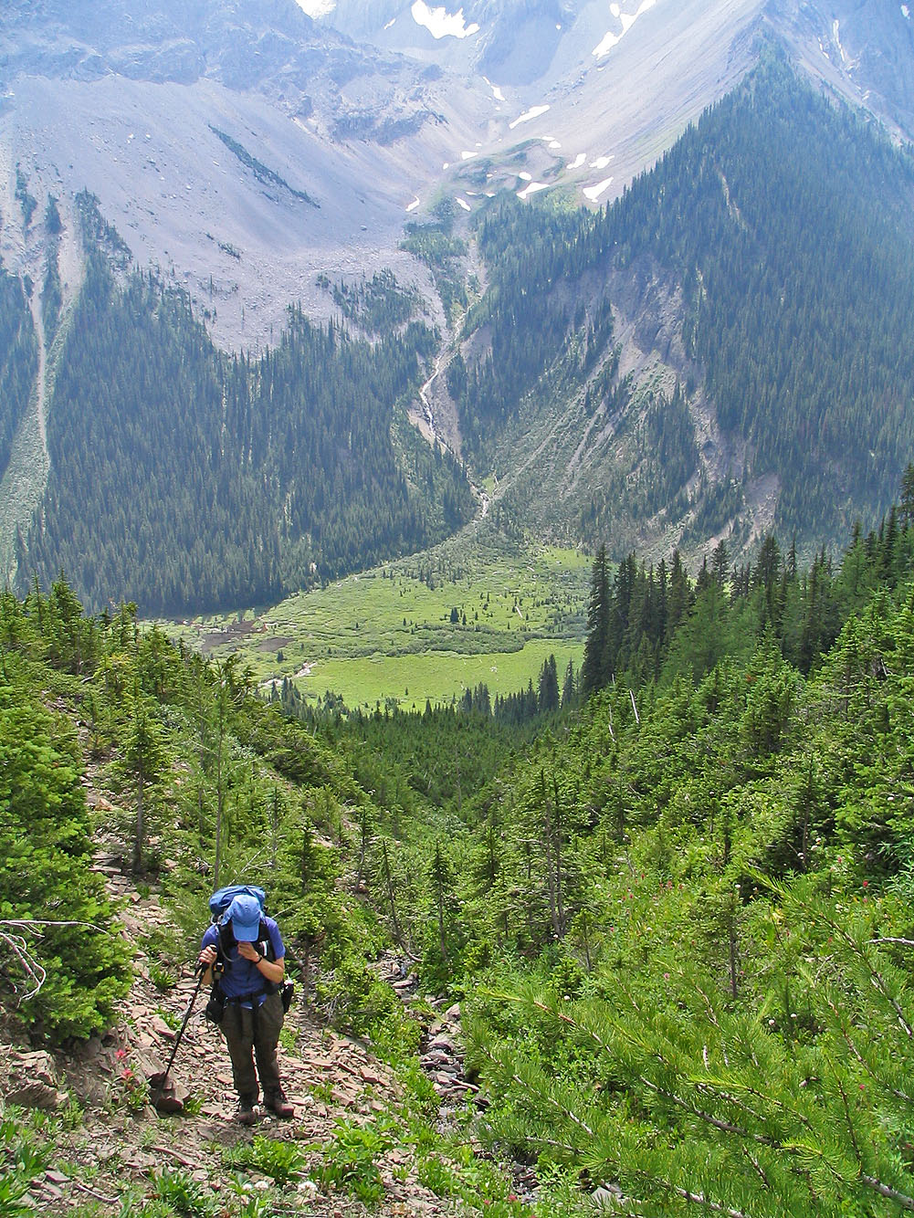
Looking down the drainage
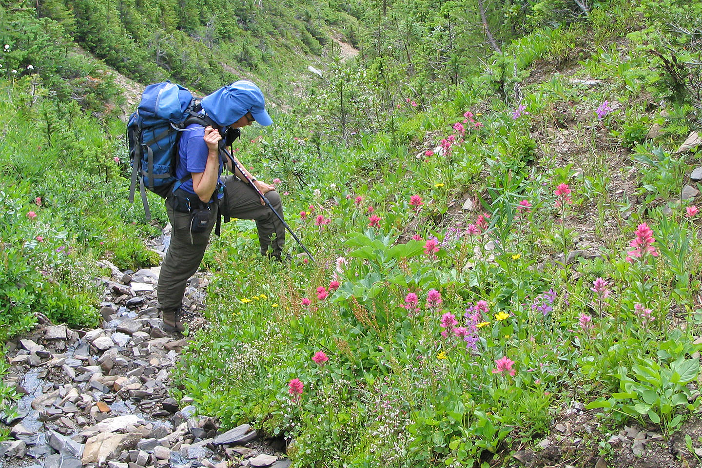
Stopping to admire the wildflowers
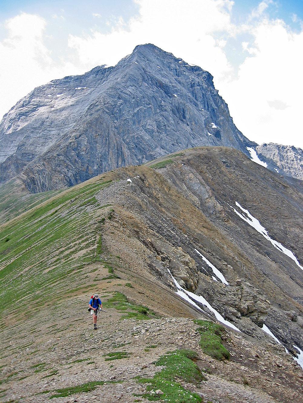
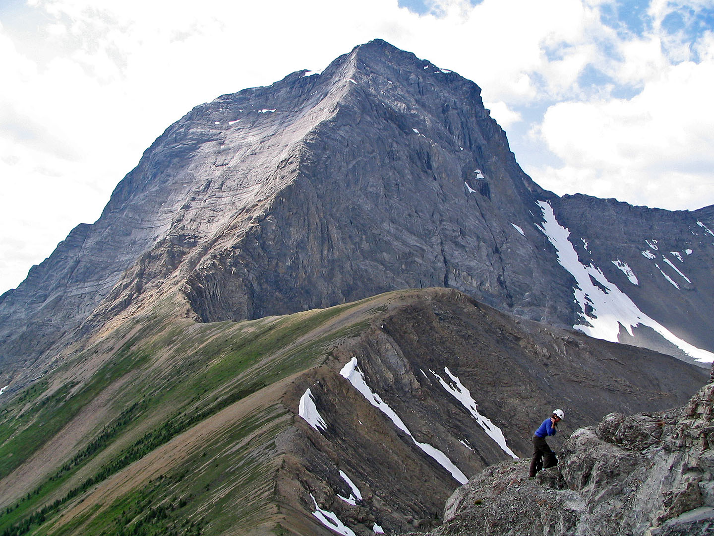
On the col with Mount Smuts behind
From the col, the gully appears above me
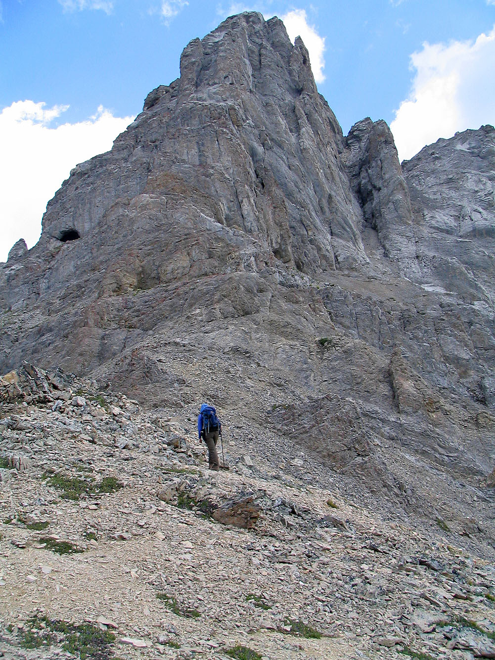
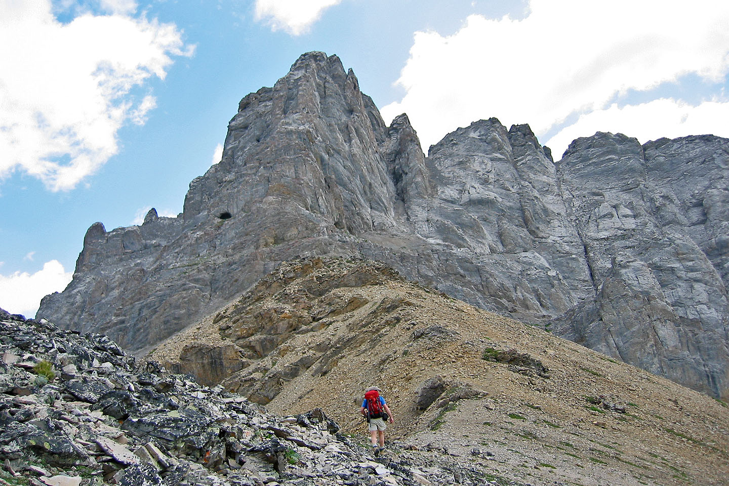
Getting closer to the gully. The tunnel on the left is easily reached.
Time to put on our helmets
Behind is Commonwealth Peak
Entering the gully
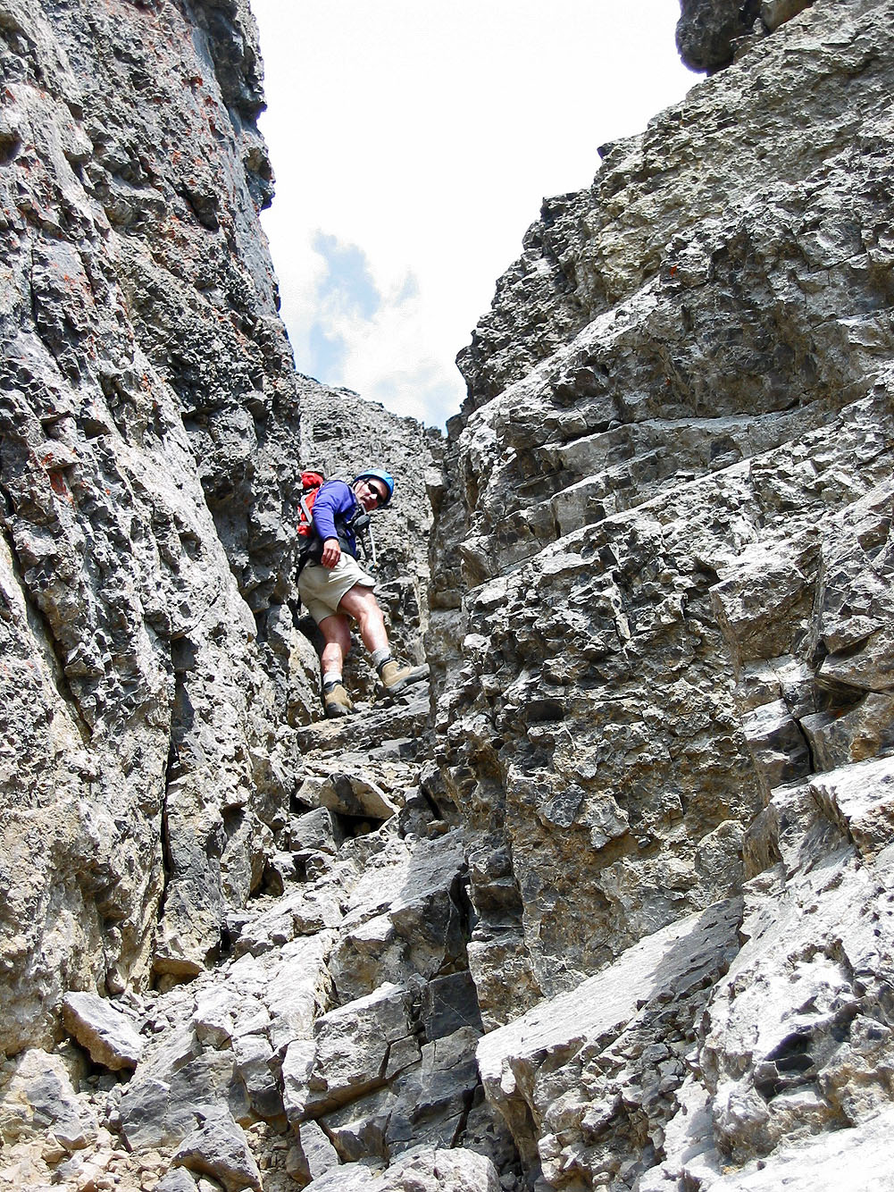
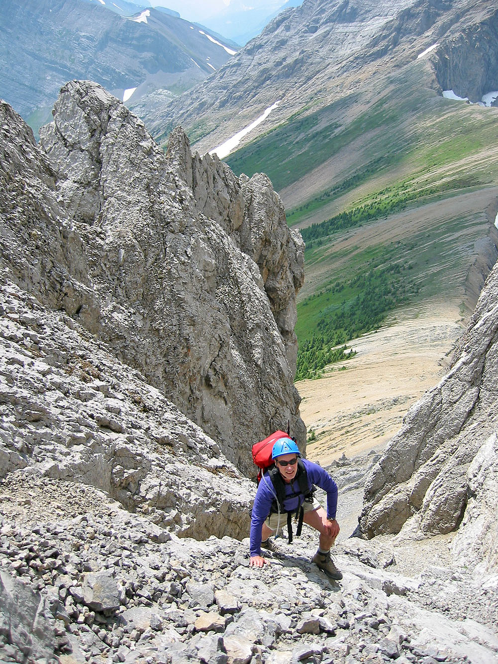
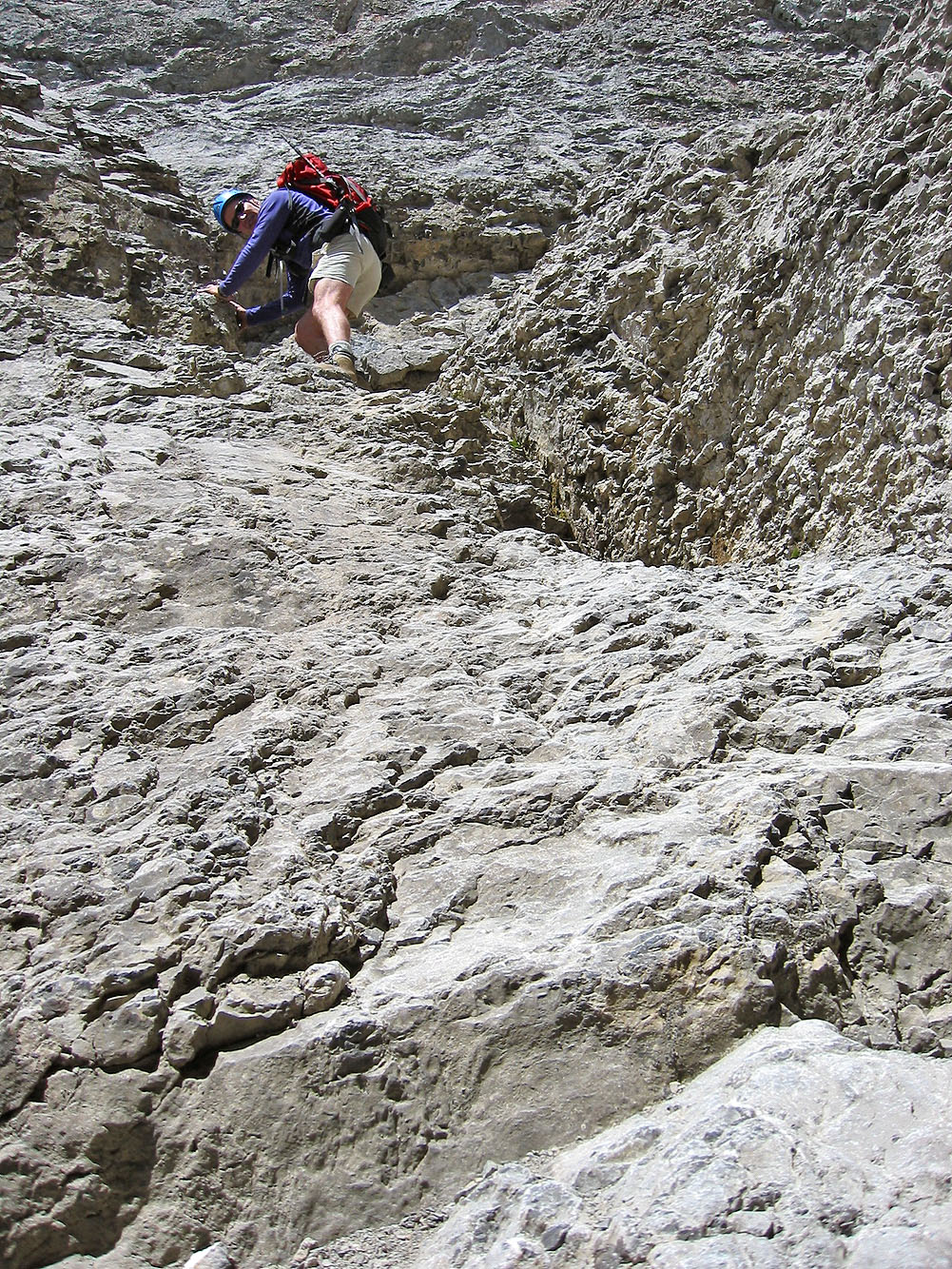
Climbing up
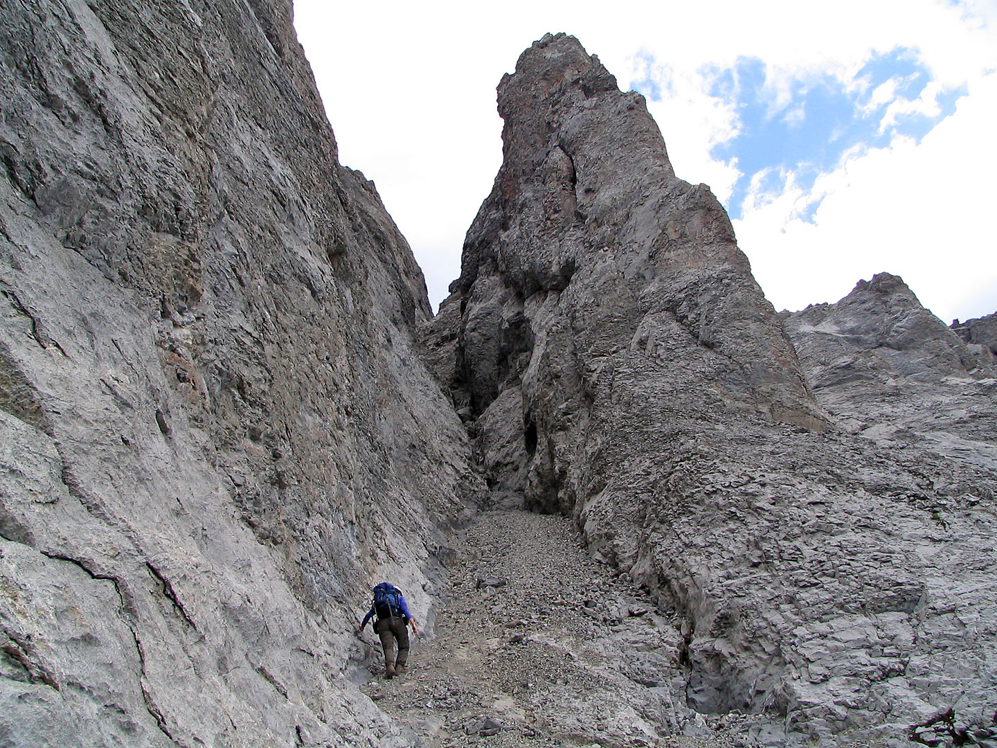
Here the gully is straight and narrow
Near the end of the gully
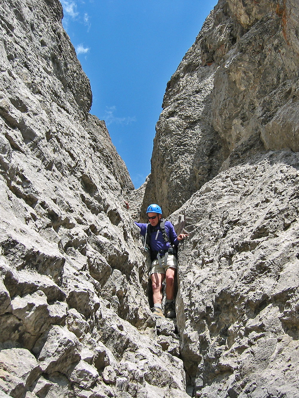
Topping out of the gully
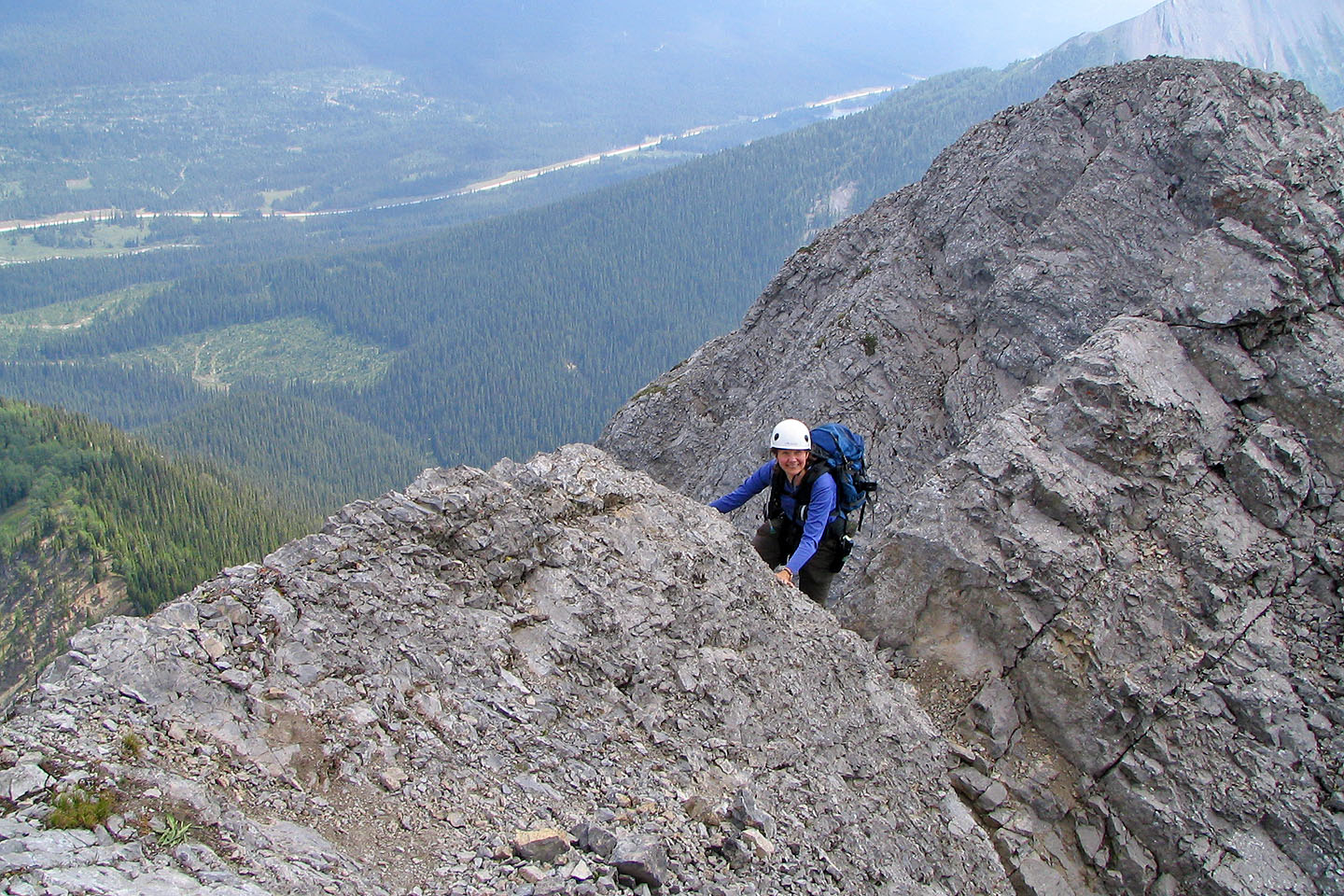
Dinah reaches the skyline notch
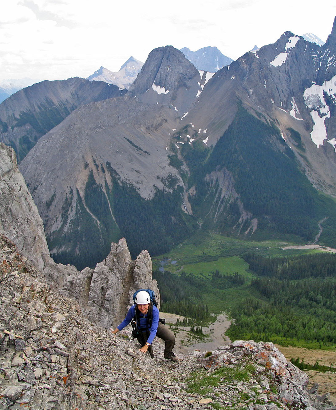
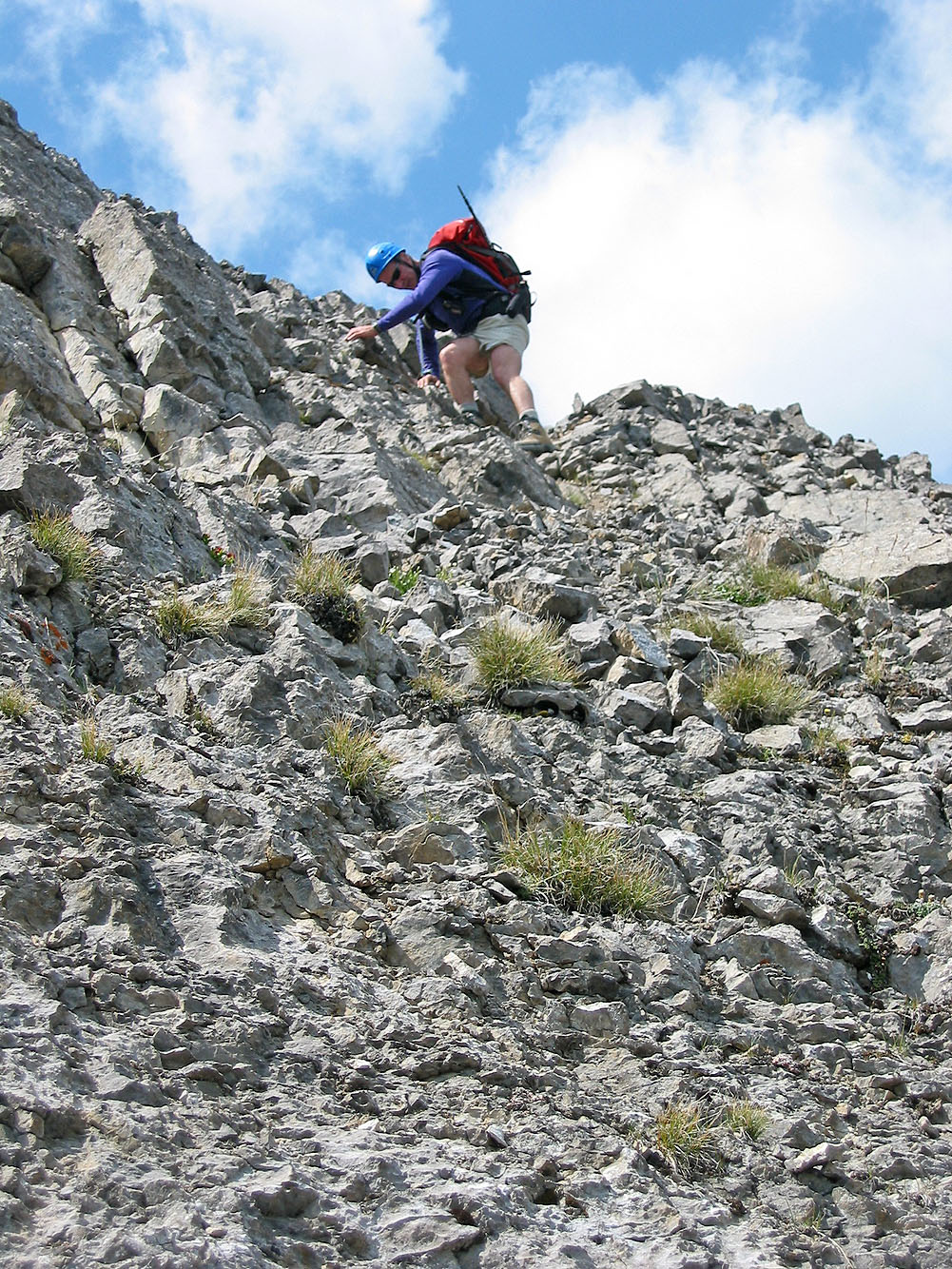
Scrambling below the summit
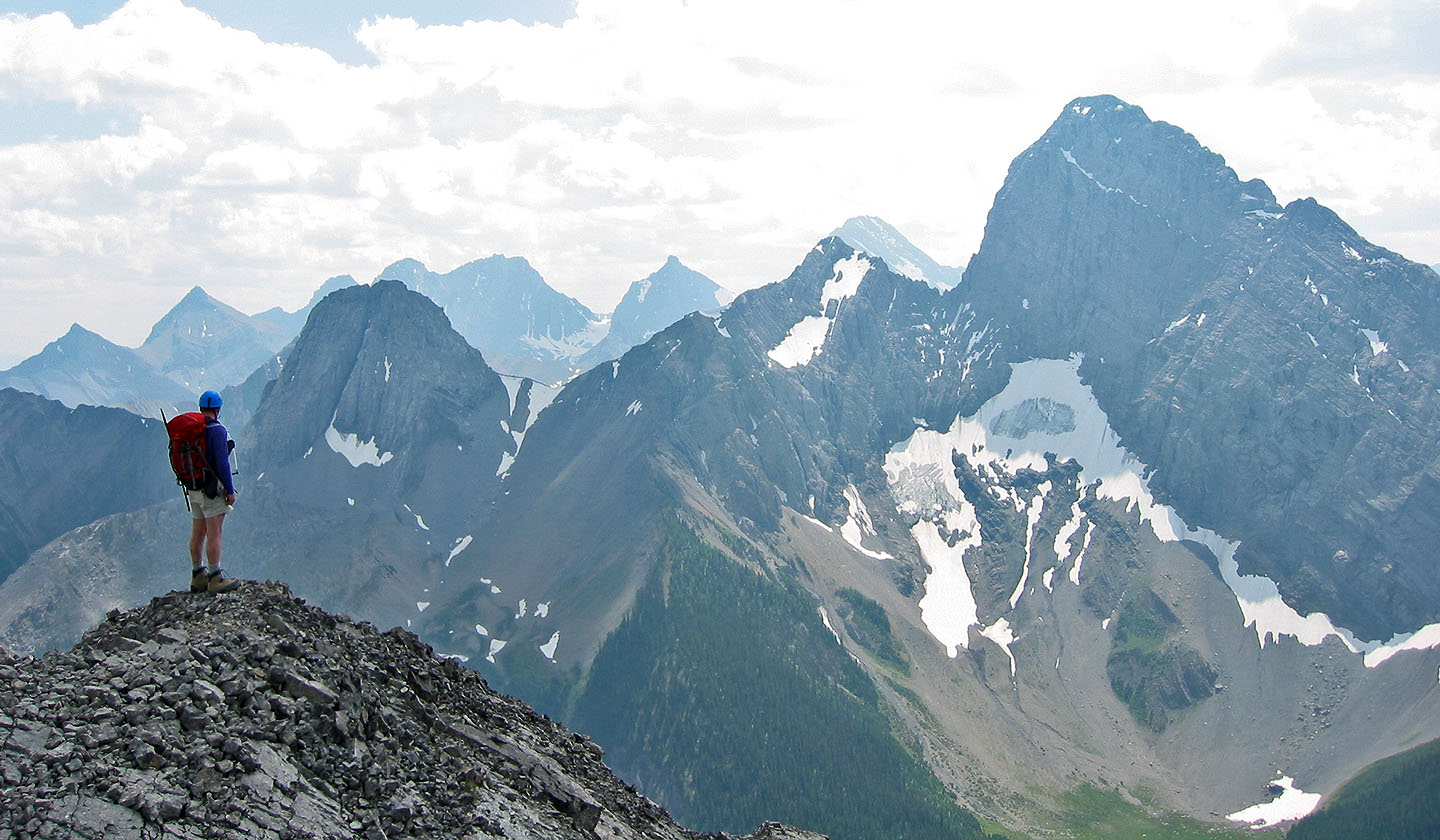
On the summit
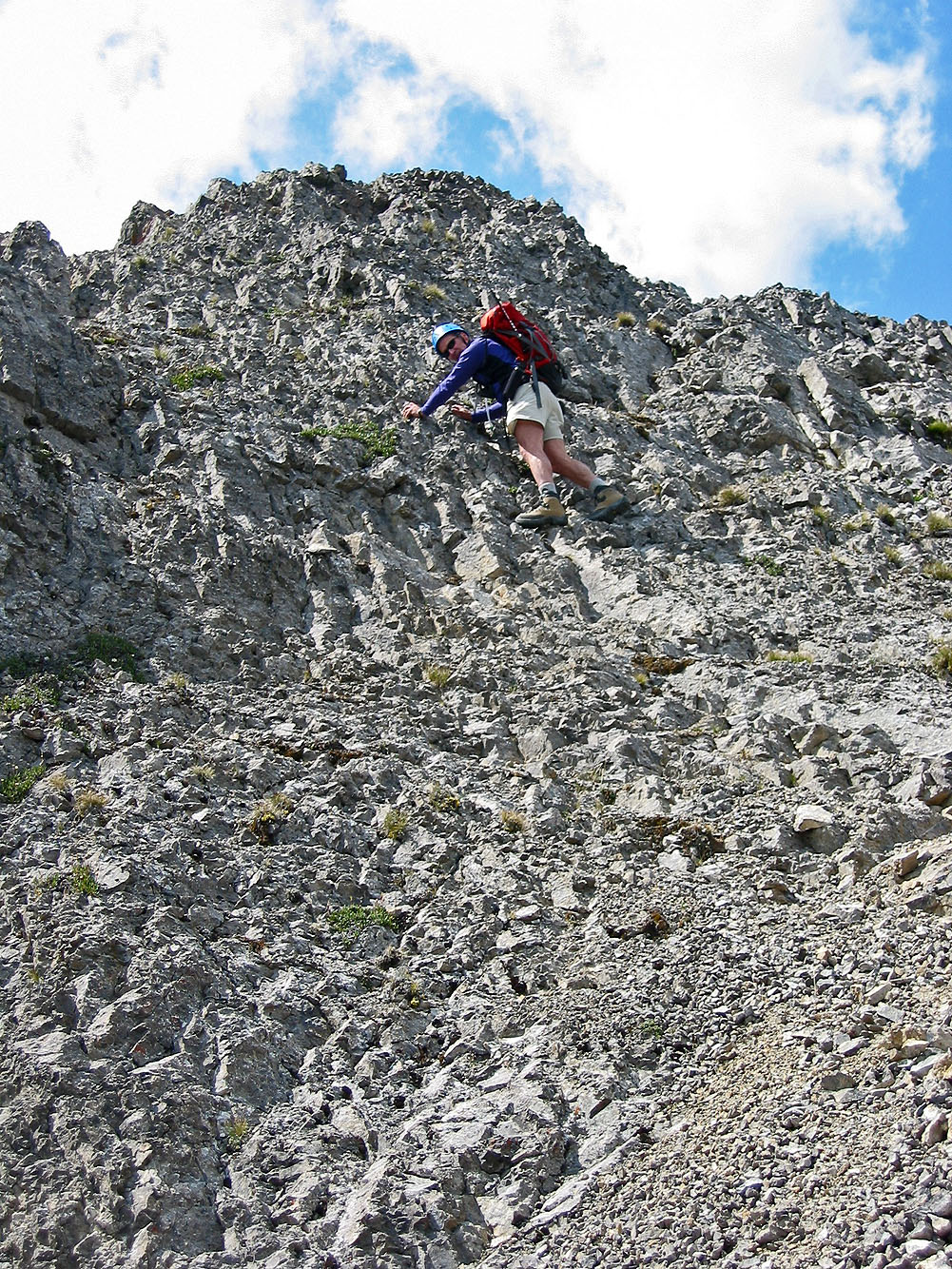
Coming down the crux
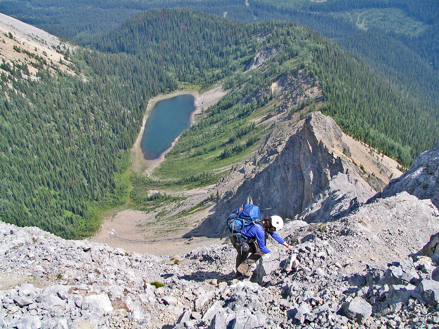
We were careful here as a fall would likely be fatal. Tryst Lake below.
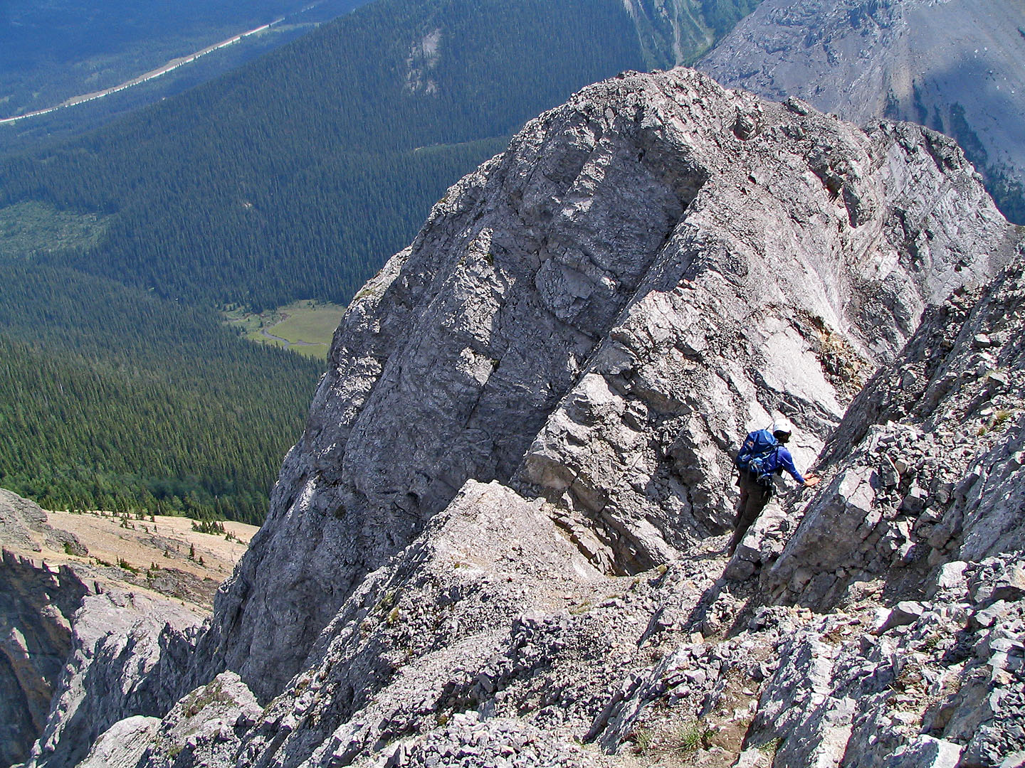
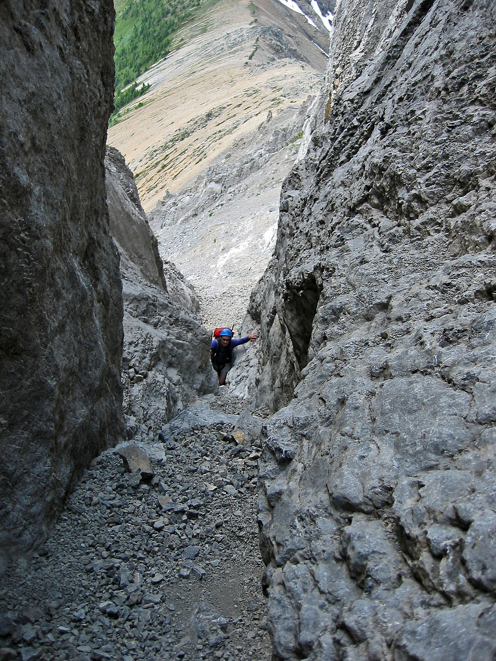
Heading back to the notch (immediately left of Dinah)
Dinah appears unconcerned despite the drop below her in the gully
My turn to come down
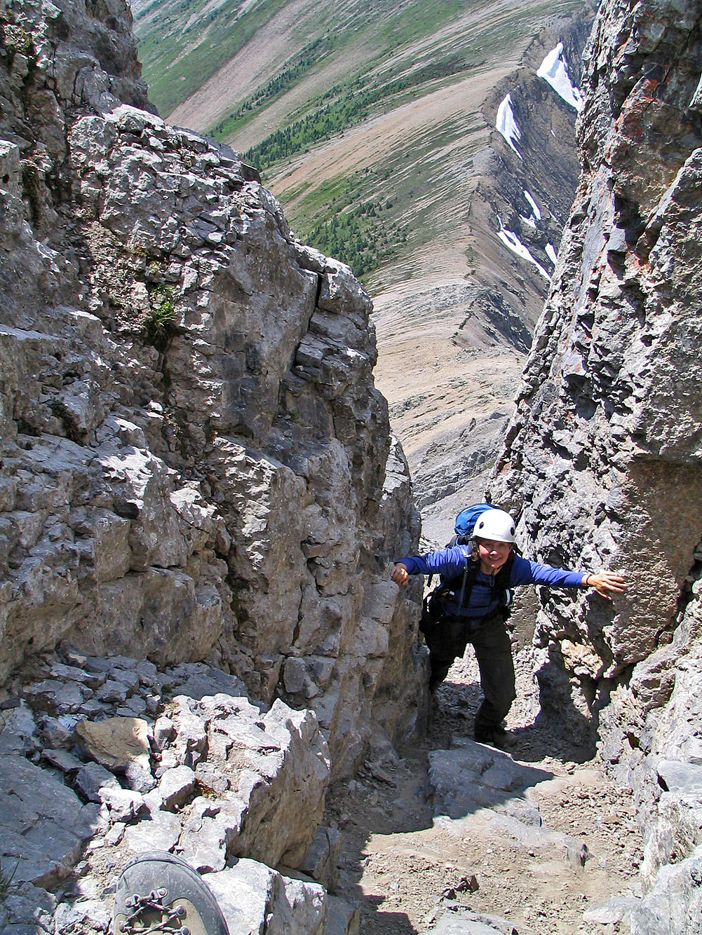
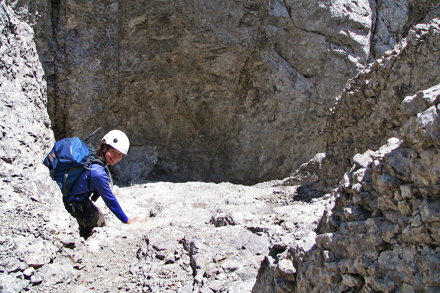
It's a tight squeeze in spots in the gully
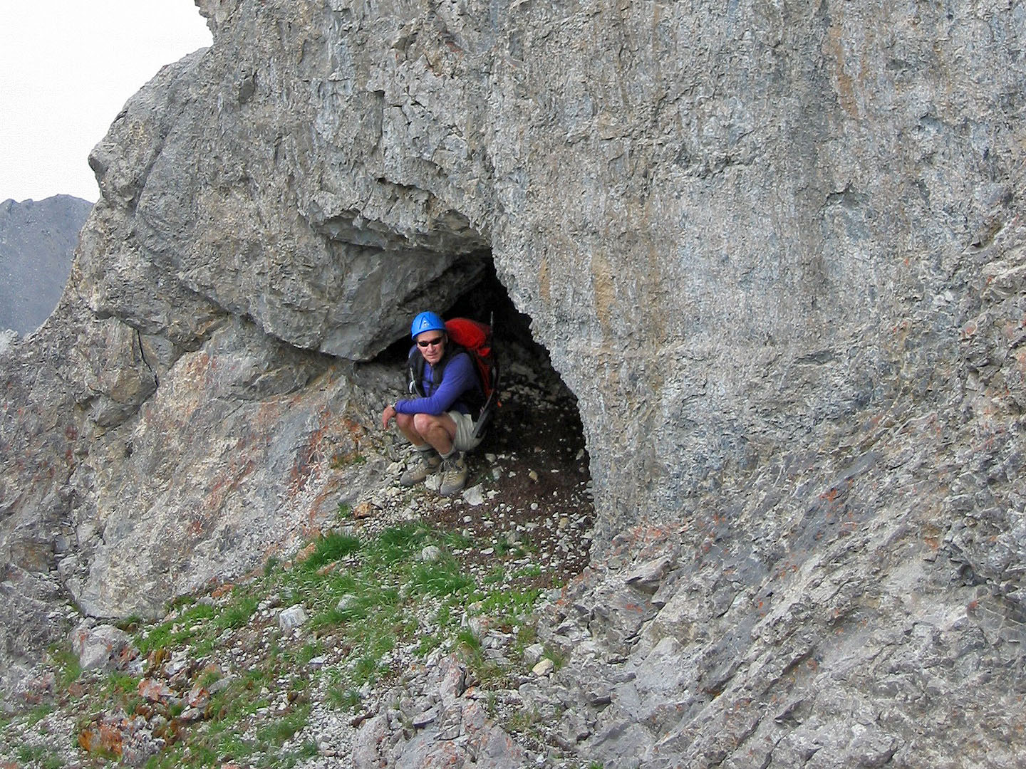
On the way back we checked out the tunnel (mouse over to view out the back)
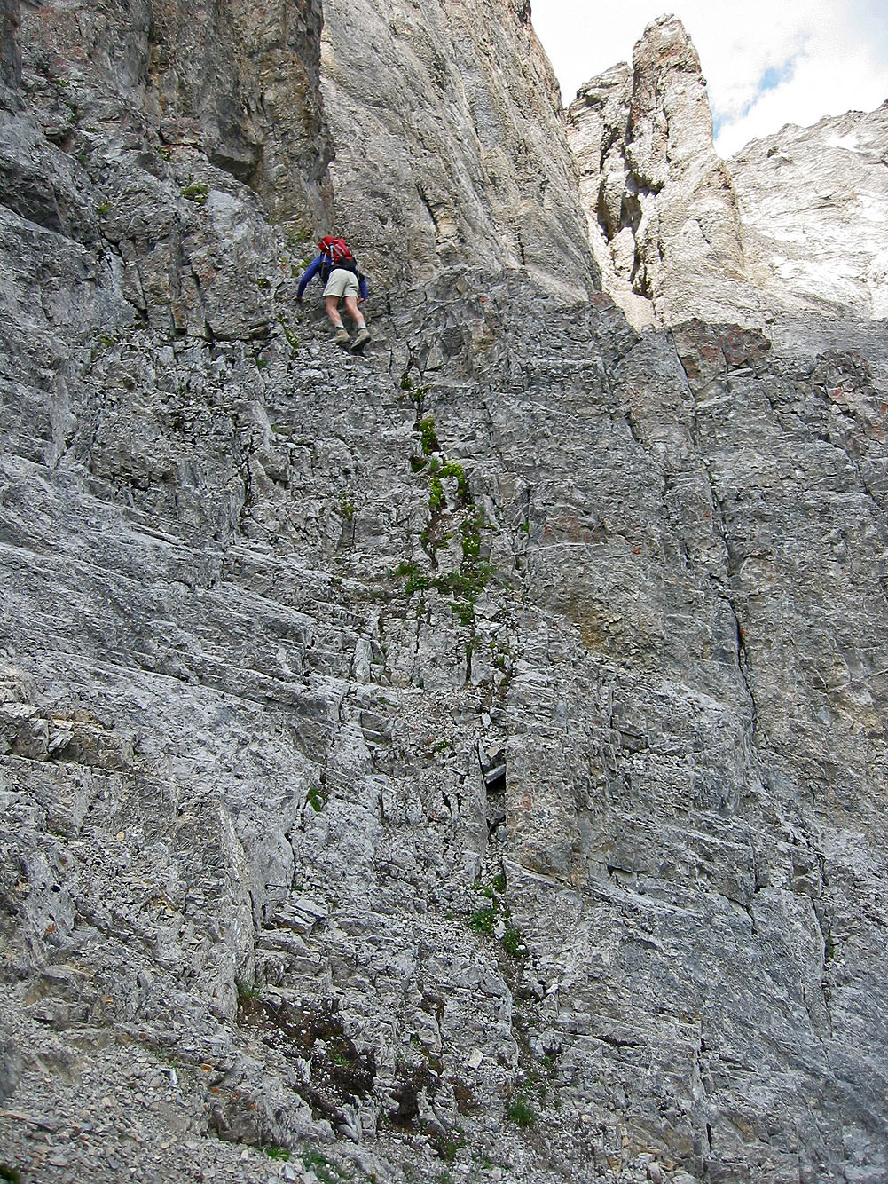
Heading back, the downclimb below the col is easier than it looks
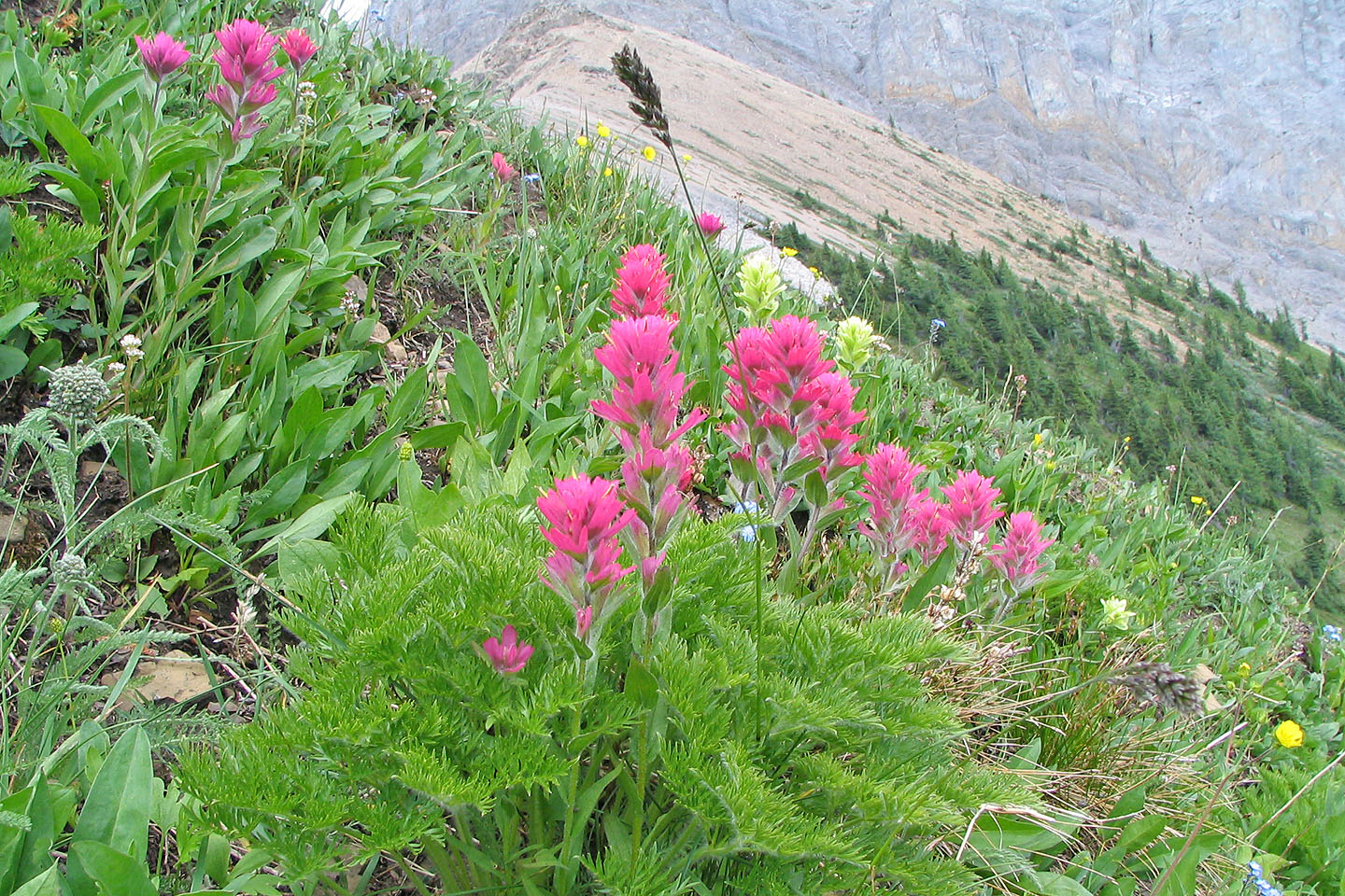
Indian paintbrush on the col
82 J/14 Spray Lakes