bobspirko.ca | Home | Canada Trips | US Trips | Hiking | Snowshoeing | MAP | About
Mount Galatea
Kananaskis, Alberta
July 12, 2003
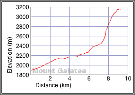
Mount Galatea offers some Interesting scrambling near the top, but it's a long haul to get to it.
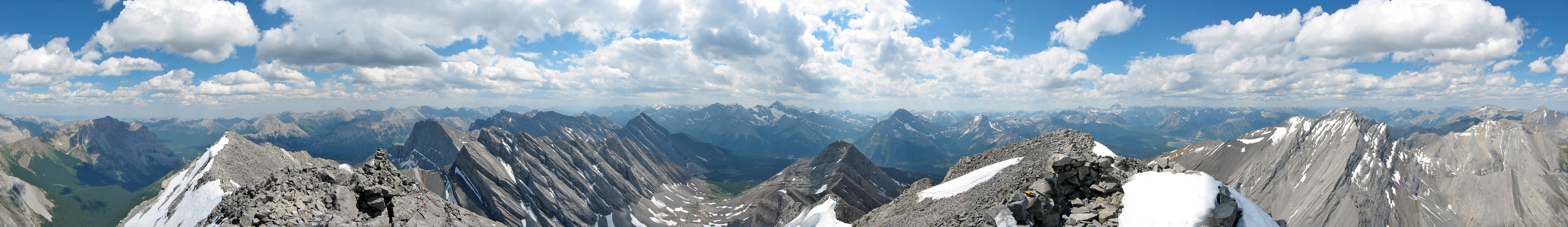
Following the trail to Chester Lake, Dinah and I, along with Wayne and Lori, continued past the lake to catch a trail that turns north. After passing Elephant Rocks, the trail leads to a high valley. We made our way to a scree pile at the base of Galatea. At the top of the scree, we ascended a gully briefly to get on a broad scree slope. After a long scree slog, we reached a point just below the ridge where we faced the first of a few obstacles en route to the summit. To surmount them, we stayed below the ridge crest until just before the summit.
The route-finding was more challenging than I expected. I can see that in snow or even wet conditions, some sections would be treacherous, but we climbed Galatea in dry conditions and had no difficulty reaching the summit.
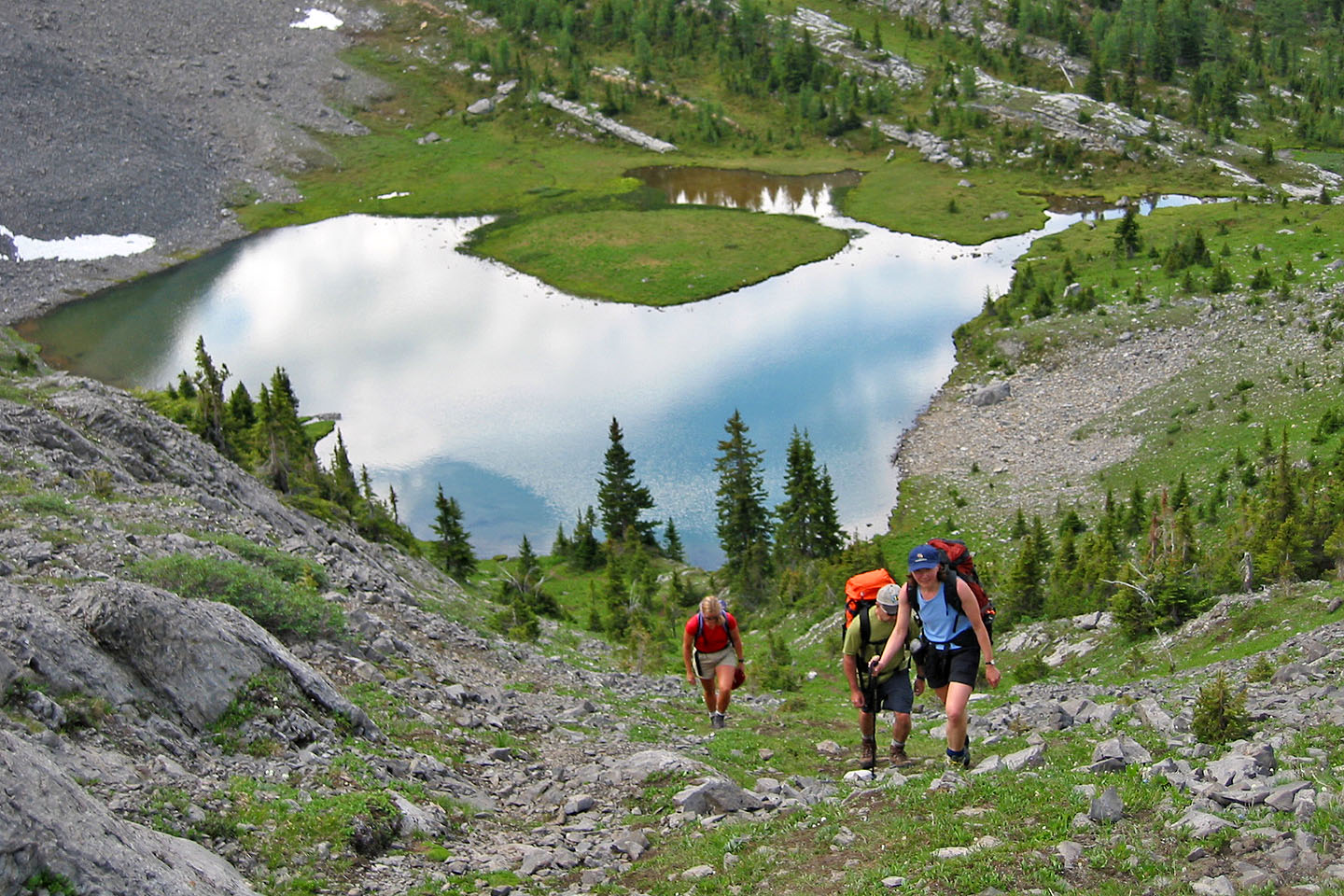
We left the meadows behind
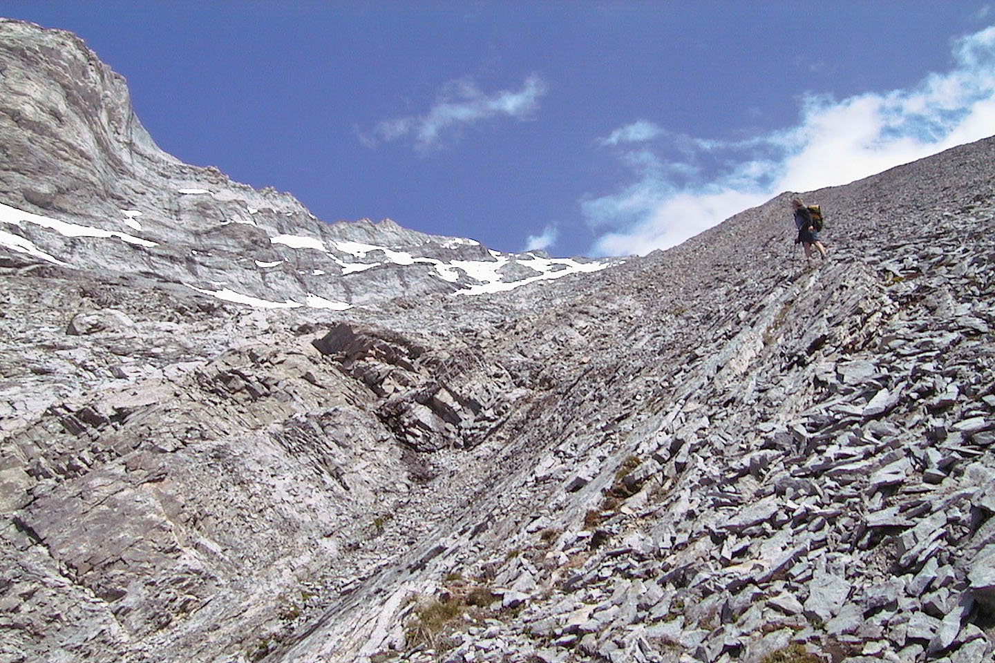
The ascent begins in the gully and then heads up a scree slope to the ridge above
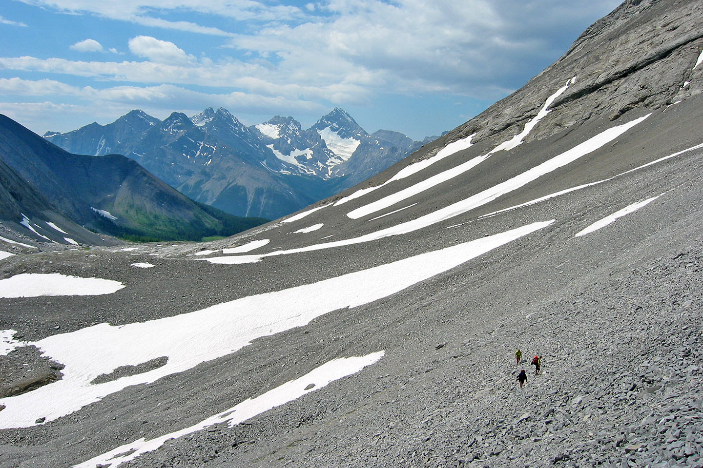
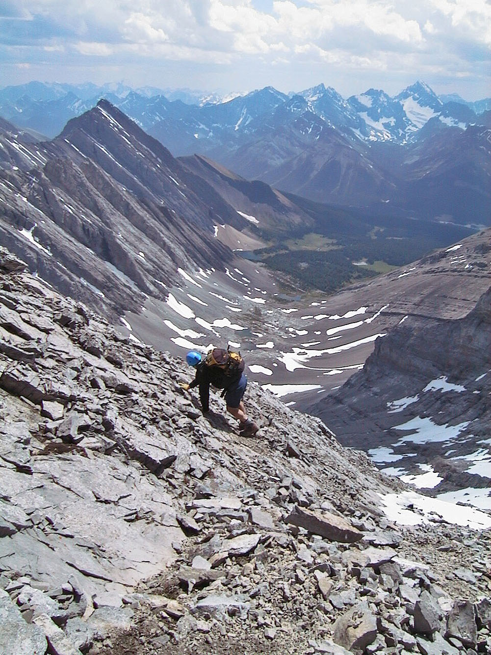
Looking back at the vast scree basin we had to cross
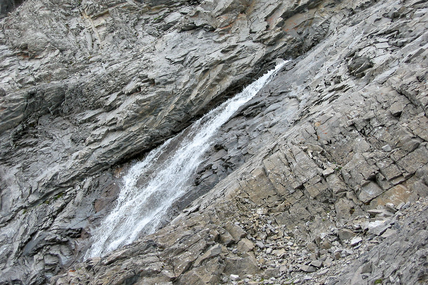
A waterfall in the gully
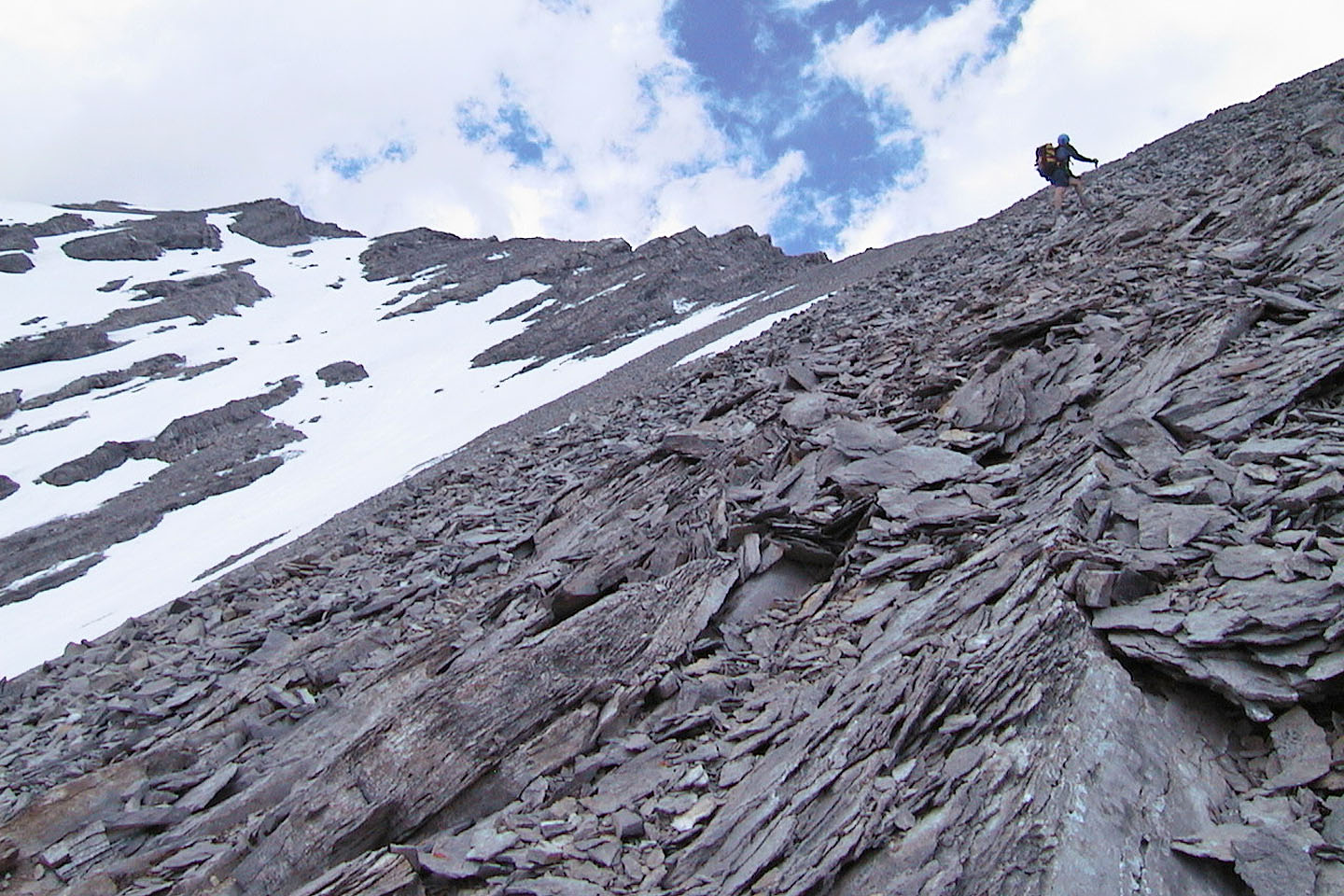
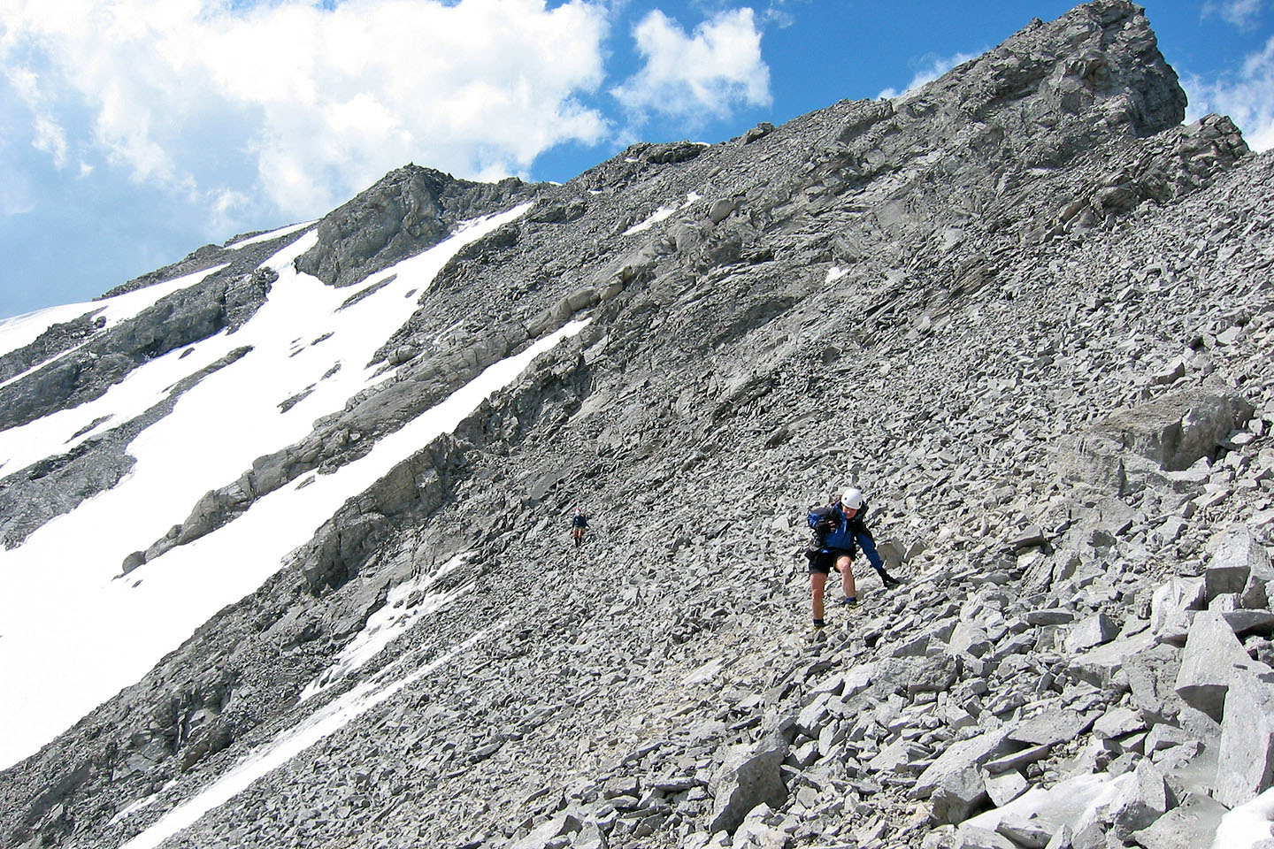
Starting up the scree slope
Looking back down the slope
More scree
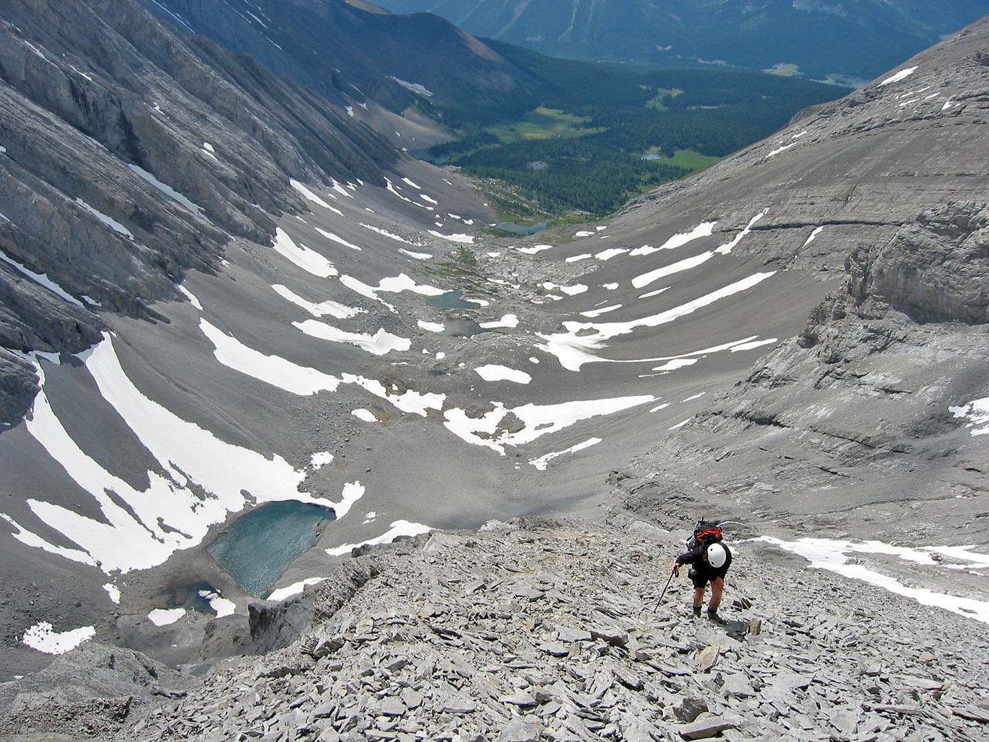
The tarns are far below us
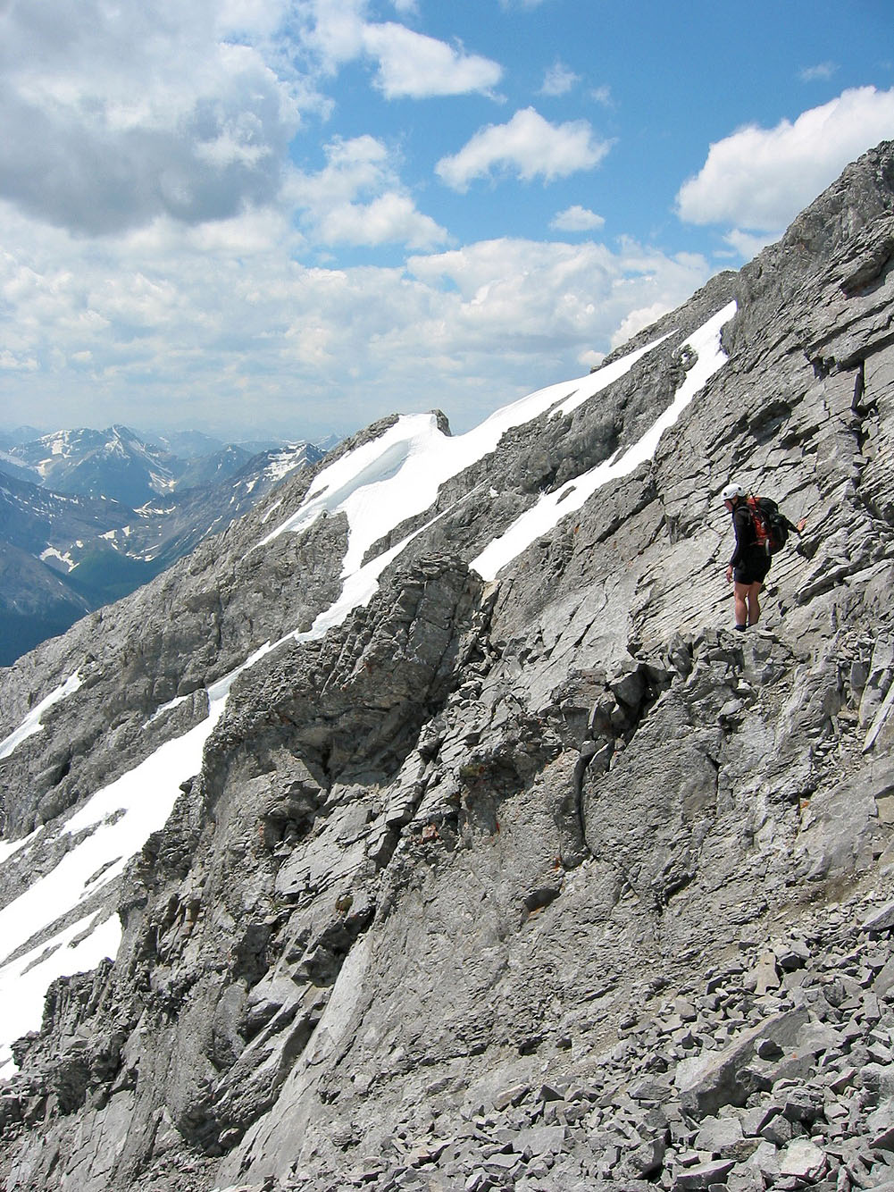
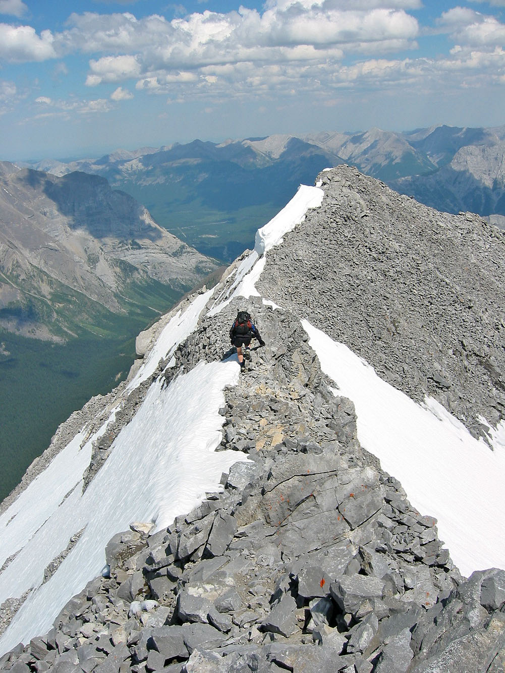
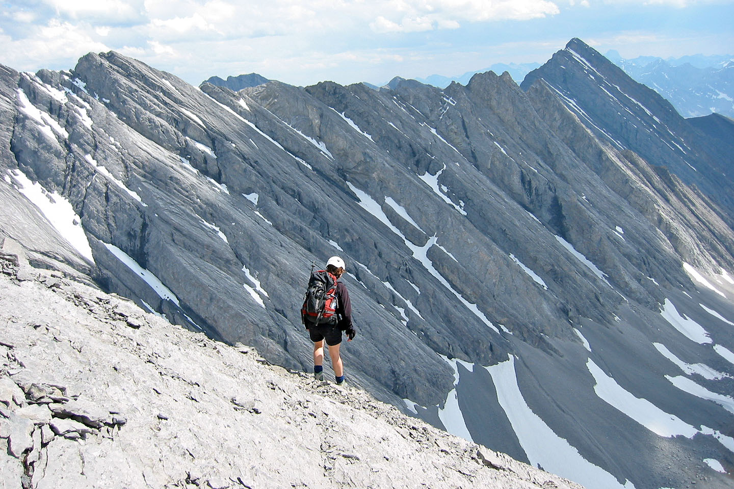
Serious drop on the right
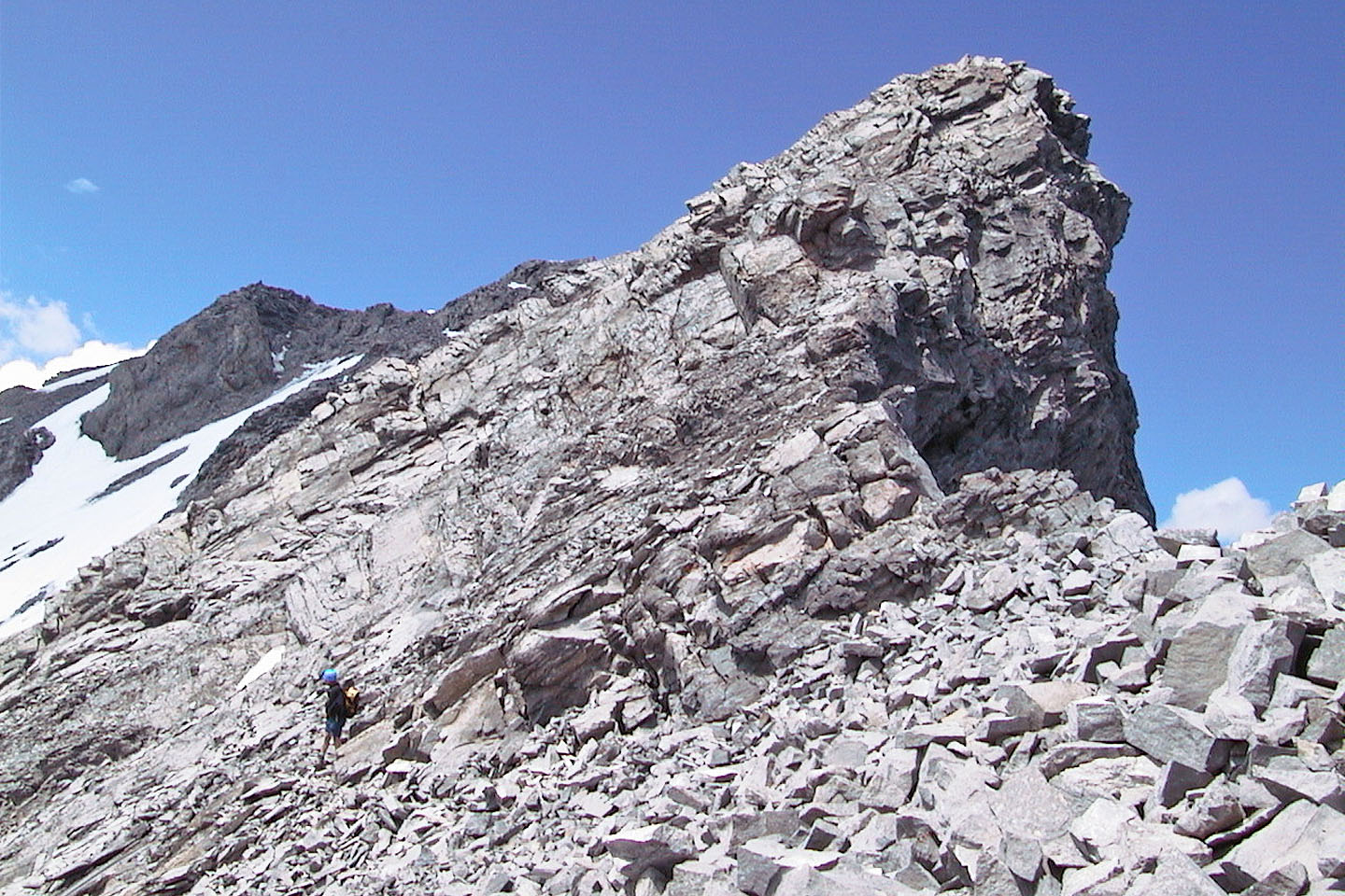
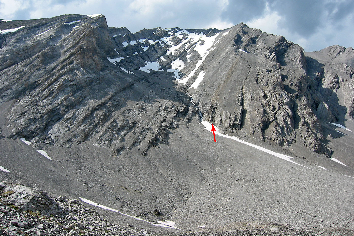
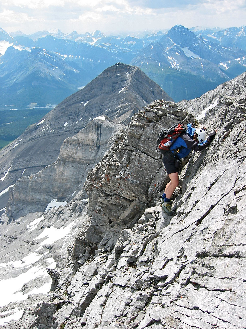
The long climb up the scree slope gives way to our first obstacle. The
summit is on the left.
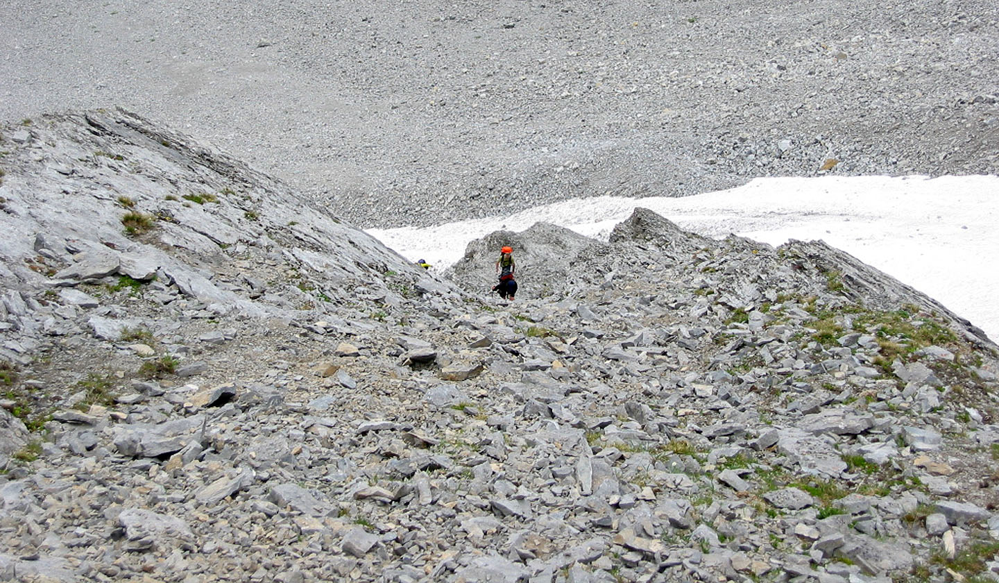
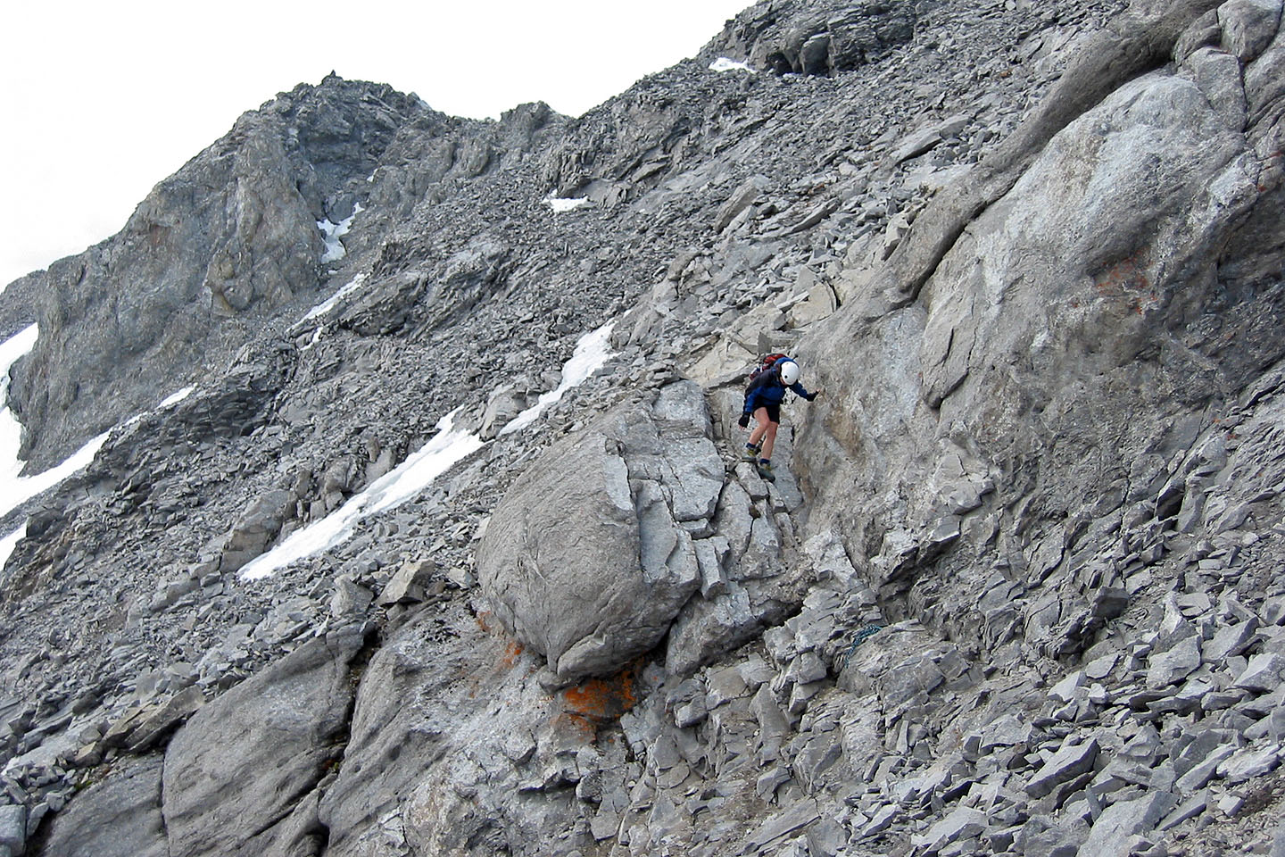
There's quite a bit of scrambling before you reach the summit
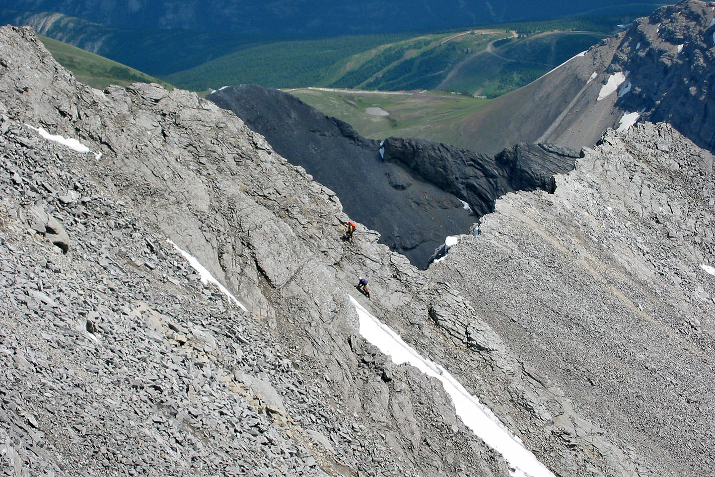
Looking back at Wayne and Lori ascending
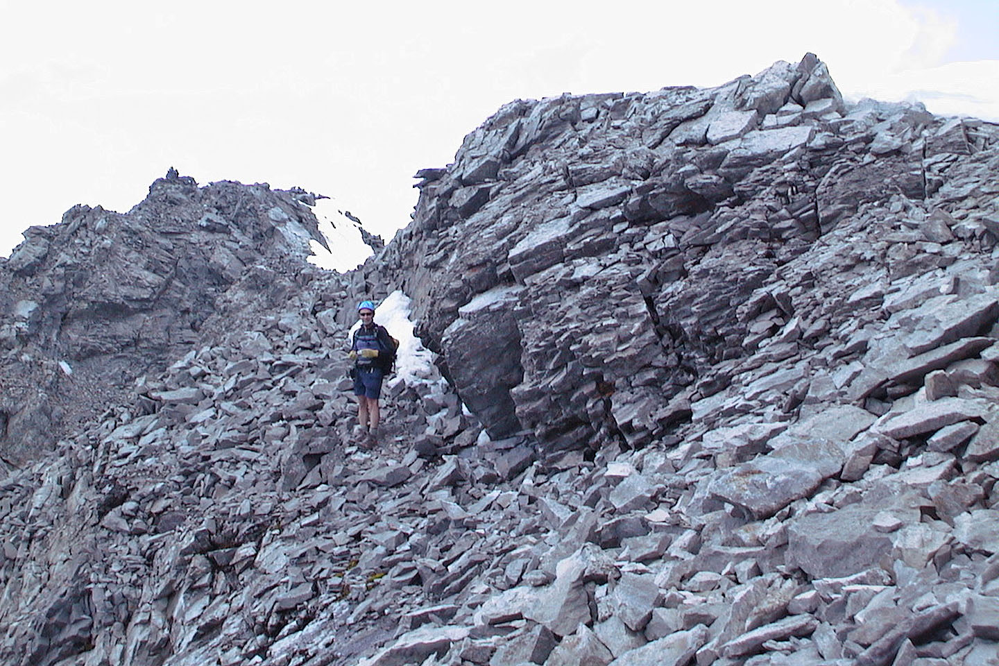
Almost at the summit
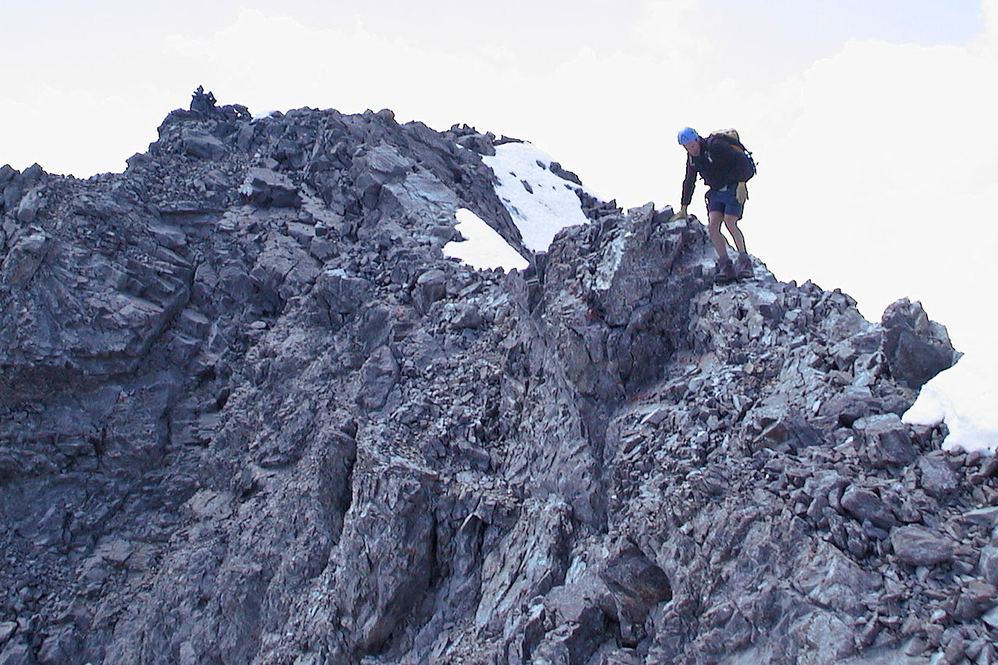
A narrow ridge leads to the summit cairn
Heading back along the ridge from the summit
Dinah comes down a short cliff band
Downclimbing
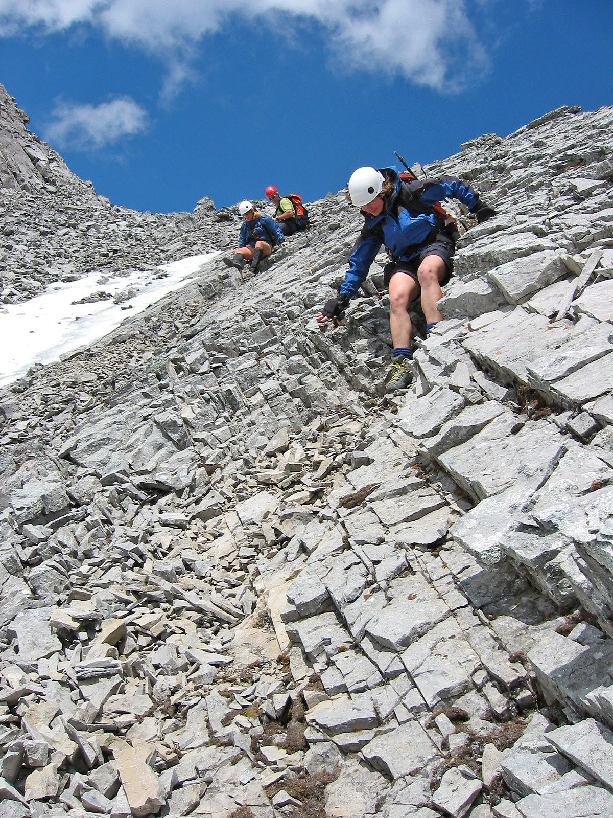
Scooting down the steepest section on the descent
Back on the scree. The summit is the point on the left.
We're glad to reach solid rock lower down
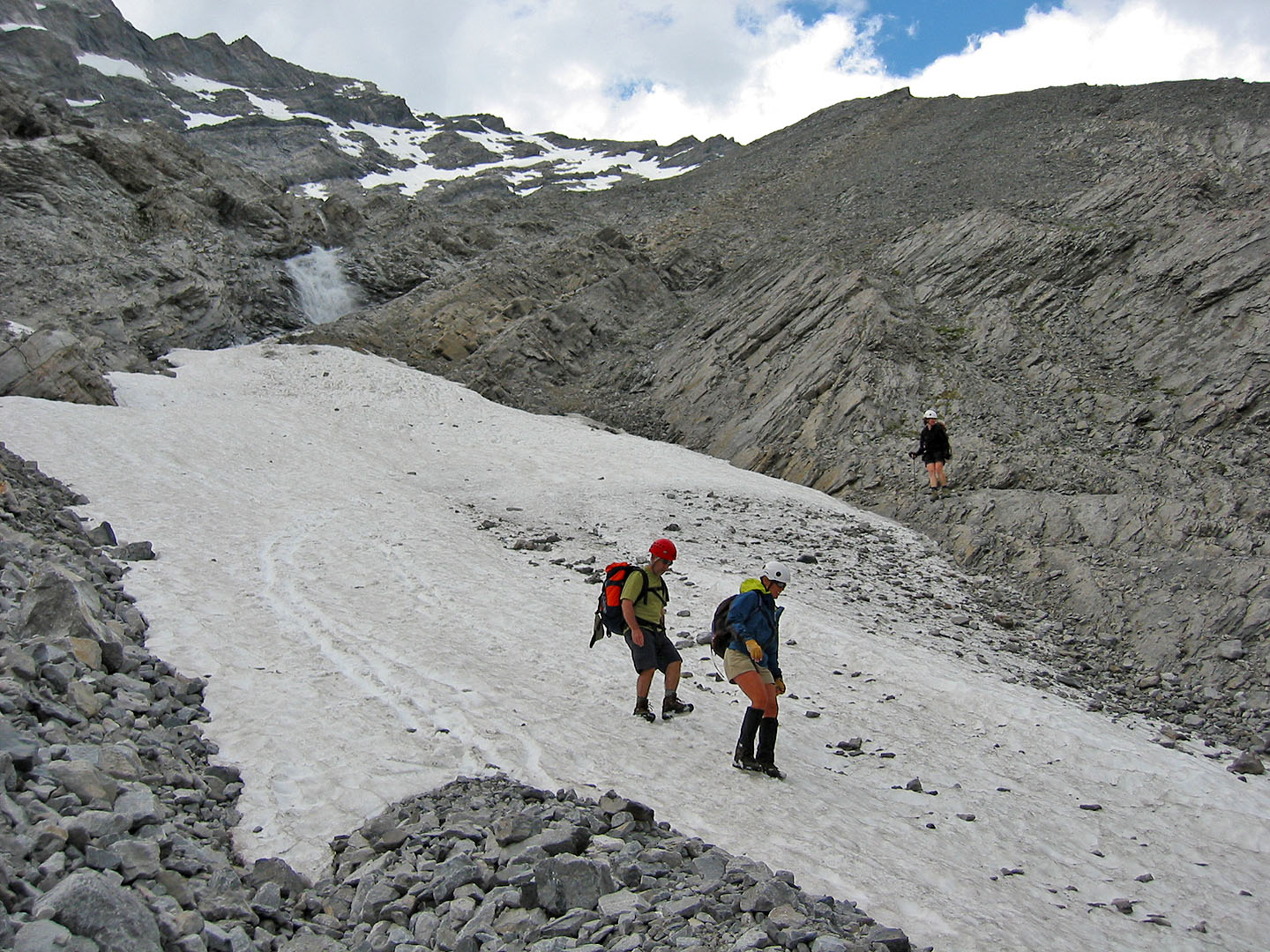
Back in the gully at the base of the mountain
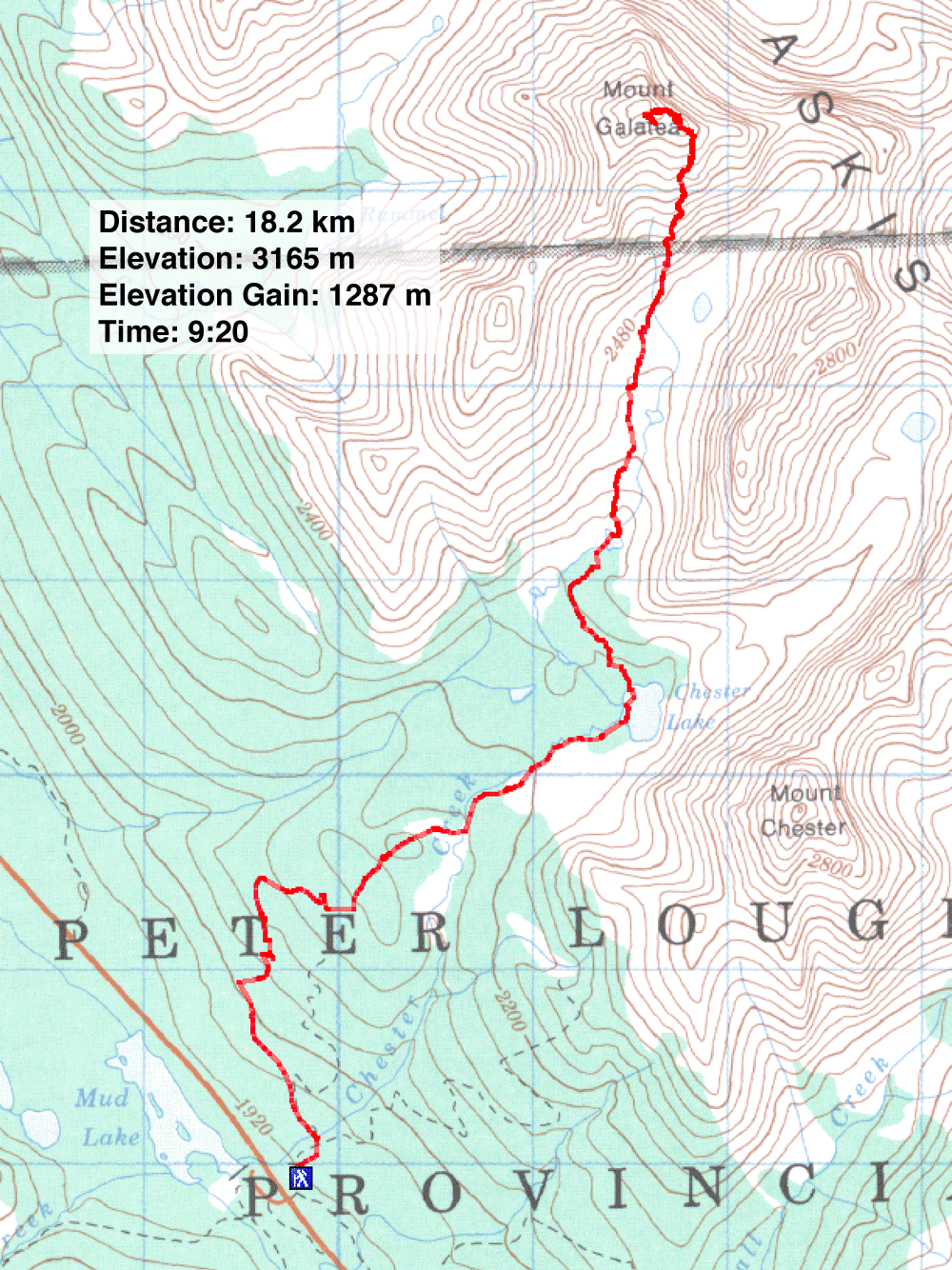
82 J/14 Spray Lakes