bobspirko.ca | Home | Canada Trips | US Trips | Hiking | Snowshoeing | MAP | About
Whaleback Ridge
Bob Creek Wildland, Alberta
October 8, 2023
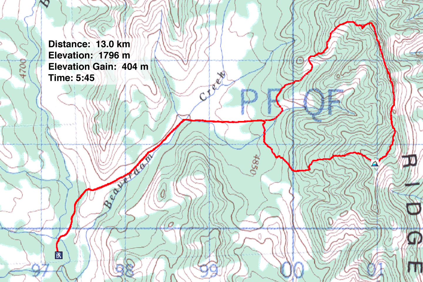
Distance: 13.0 km (8.1 mi)
Cumulative Elevation Gain: 486 m (1594 ft)
Whaleback Ridge displays terrain backward to what hikers expect. Instead of hiking through a forest to reach an open ridgetop, Whaleback calls for crossing expansive meadows before attaining a forested crest. Fortunately, breaks in the trees allow far-ranging views. We planned to cross a valley and ascend an open ridge below the summit. From the summit, we would traverse Whaleback Ridge for 1.5 km before returning to the valley.
Christine, Dinah and I set off up the trail, a dirt road. After entering trees, we turned onto a side road. A short climb brought us to the edge of the grassy valley ending in Whaleback Ridge 2.5 km away. We followed the road to the ridge.
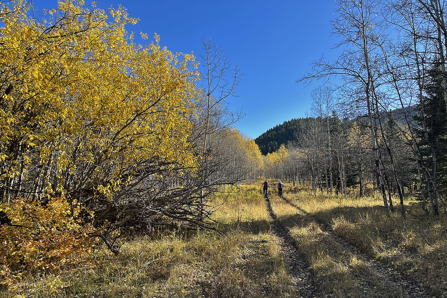
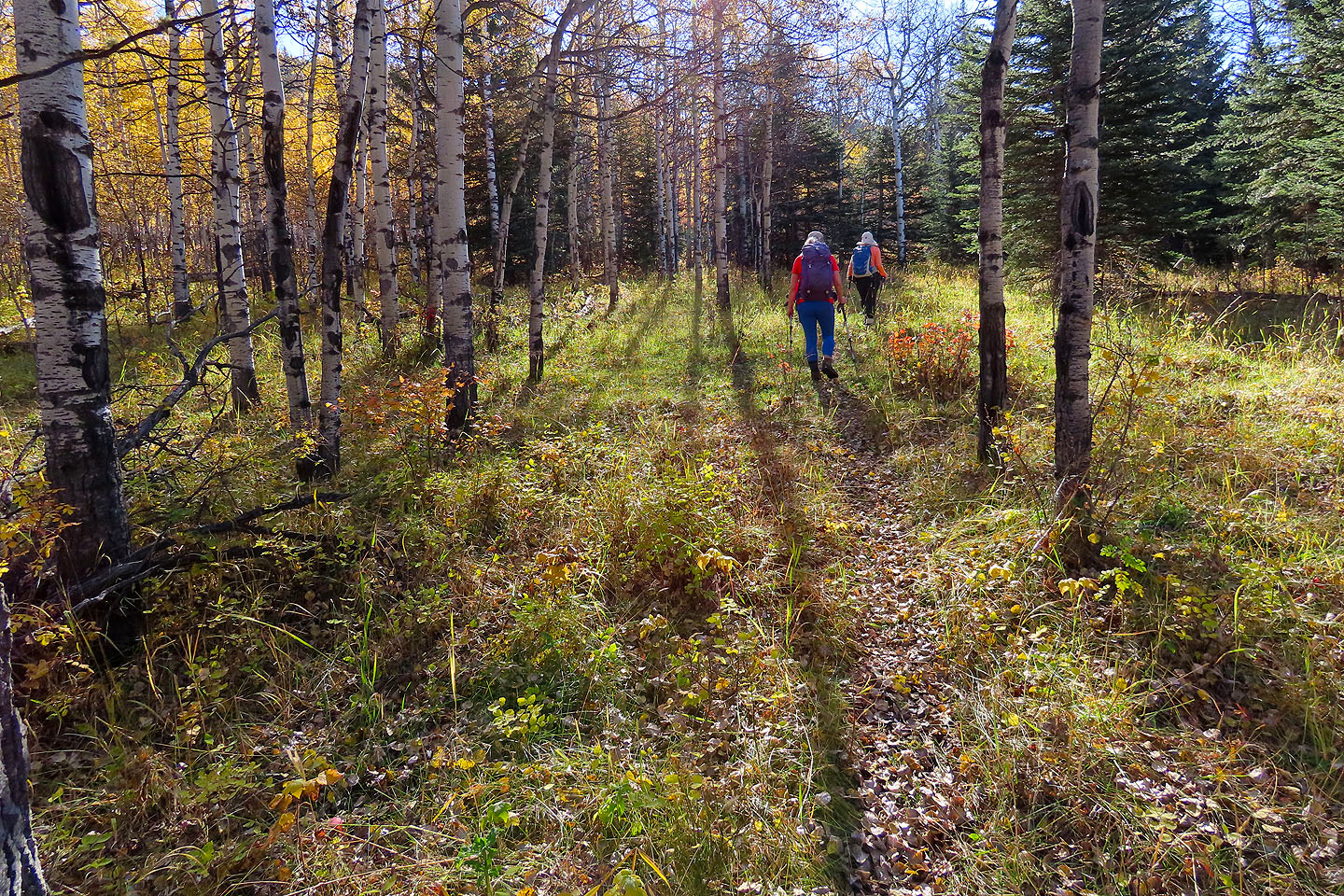
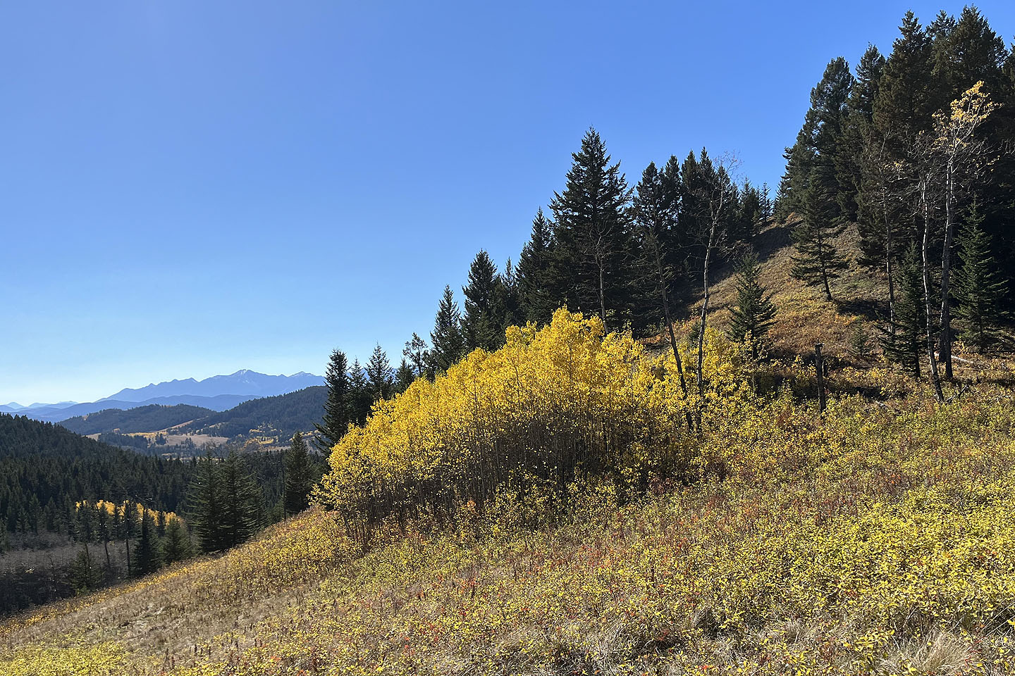
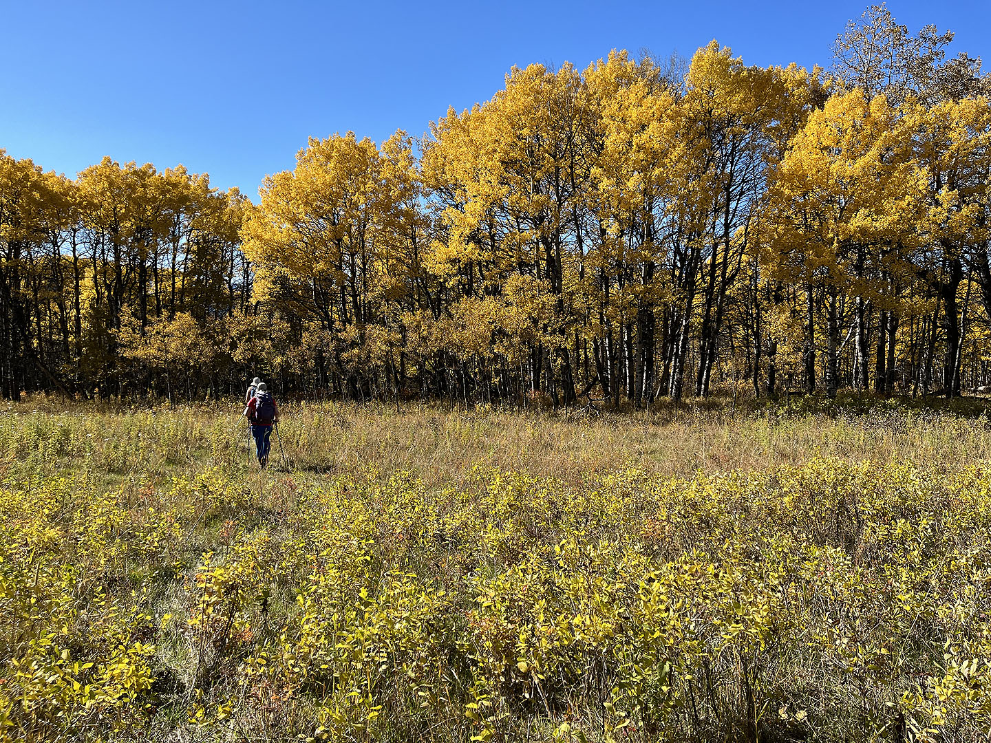
After running the length of the valley, the road enters an aspen forest flaunting the yellow leaves of autumn. Eventually we left the trail and made our way through a light forest to the end of the ascent ridge. Later we realized we could have followed the road to a T-intersection and turned onto another road to reach the ridge.
We noticed the second road when two hunters on mountain bikes passed by. They had just left an elk carcass and said they saw a grizzly bear on the “other side of the hill.” I wondered the wisdom of passing between a bear and a carcass: bears can detect an animal carcass upwind 30 km away. Luckily, the wind was blowing in the wrong direction for that.
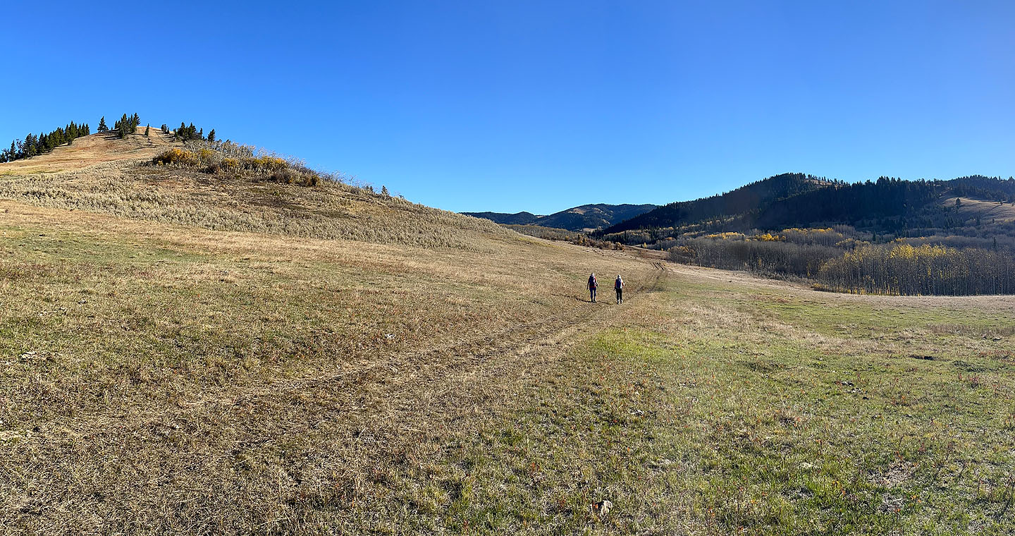
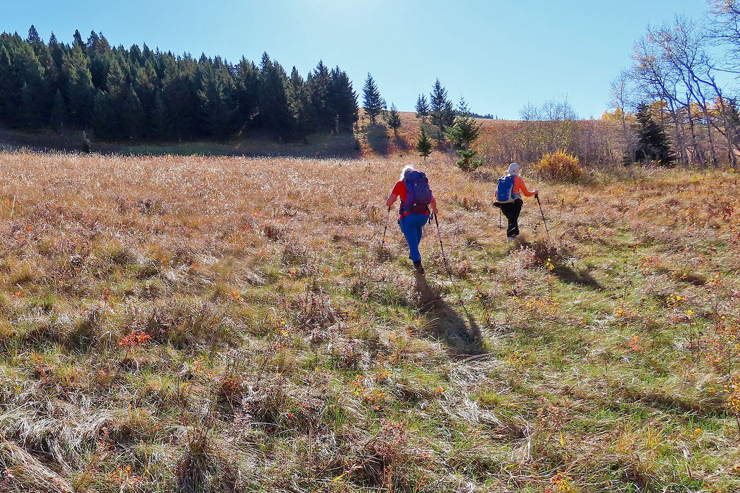
We reached the bottom of the ascent ridge and started up a broad meadow. As we climbed, we delighted in the views of the grassy valleys and rocky mountains to the west. But the same couldn't be said for the tiny summit bump half-ringed with trees. We only had a trifling view southeast of lowly Porcupine Hills.
With little to see from the top, we turned our attention to the ridge traverse. We dropped down into the trees and soon came to a fence that runs along the crest. A trail parallels most of the fence, so the traverse was quick and easy.
When we reached the top of the descent ridge, we started down. We hiked down a wide meadow to the trees below. Near the bottom, we dropped down to the valley on our left. We followed a faint trail to a road which led back to the road we came up on, giving us another opportunity to enjoy the fall colours.
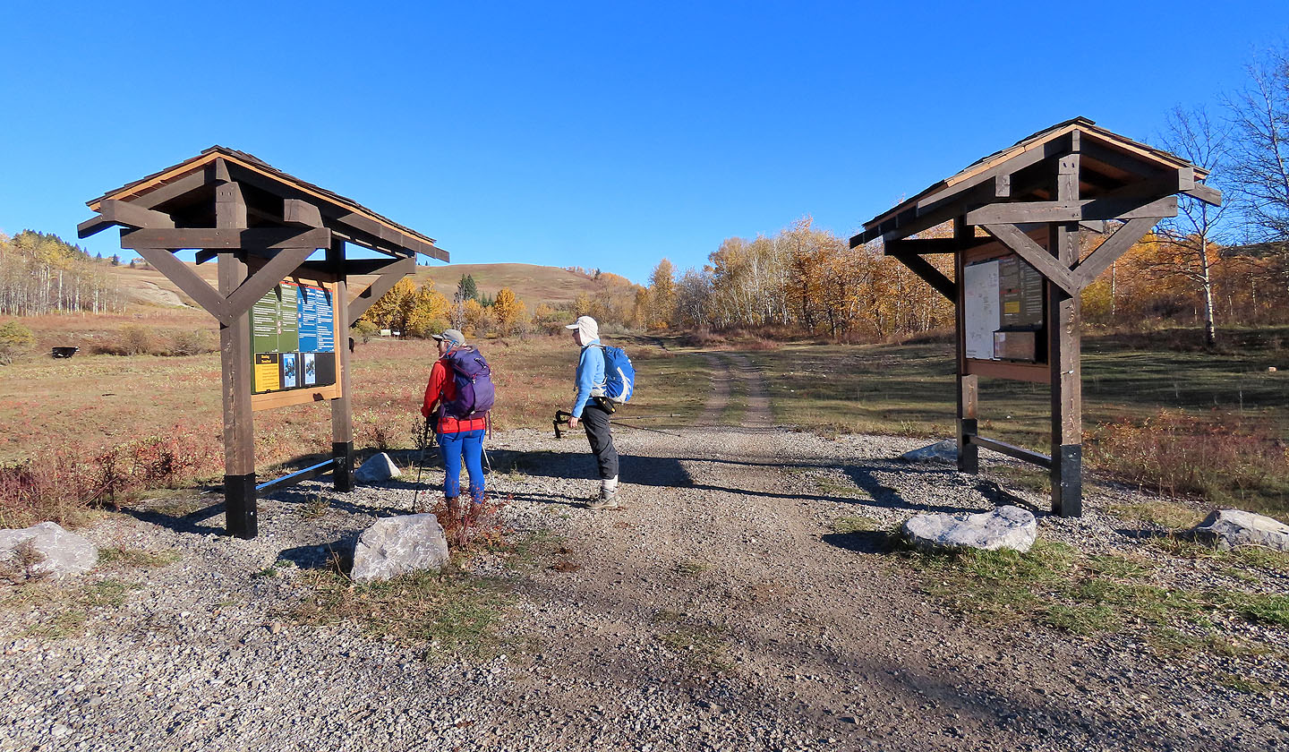 Christine and Dinah stopped to read information at the trailhead
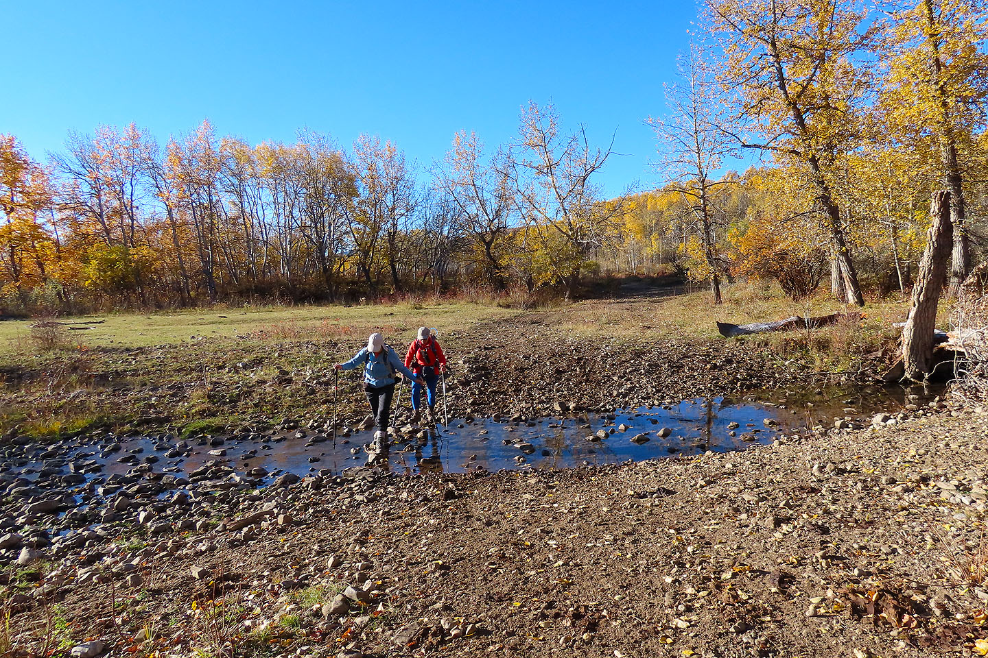 Crossing Bob Creek
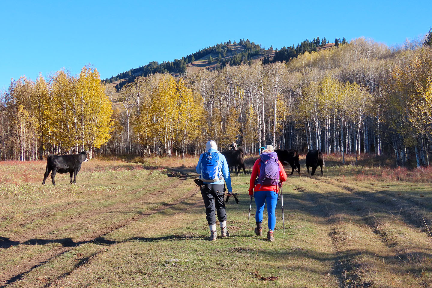 Cows gave way as we walked up the road
We turned onto the road that runs alongside Beaverdam Creek
 We'll follow the road for over two kilometres
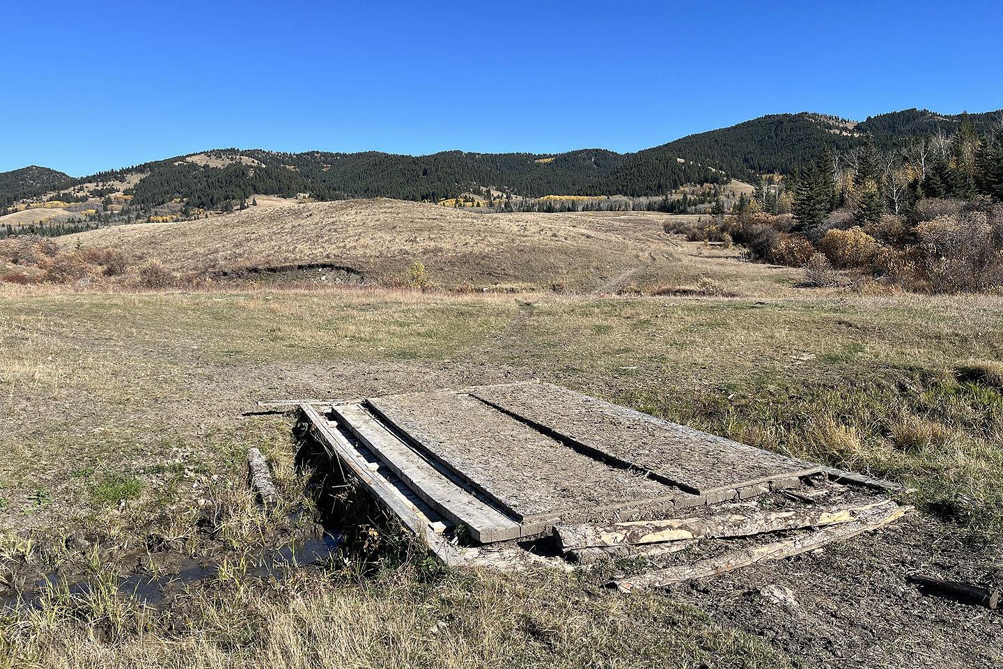 A bridge crosses Beaverdam Creek. The summit is the second bump from the right. Left is the semi-open descent ridge.
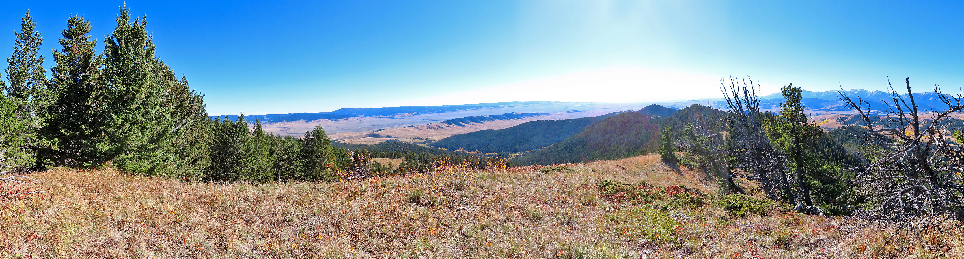
 The ascent ridge appears right. Summit is in the centre.
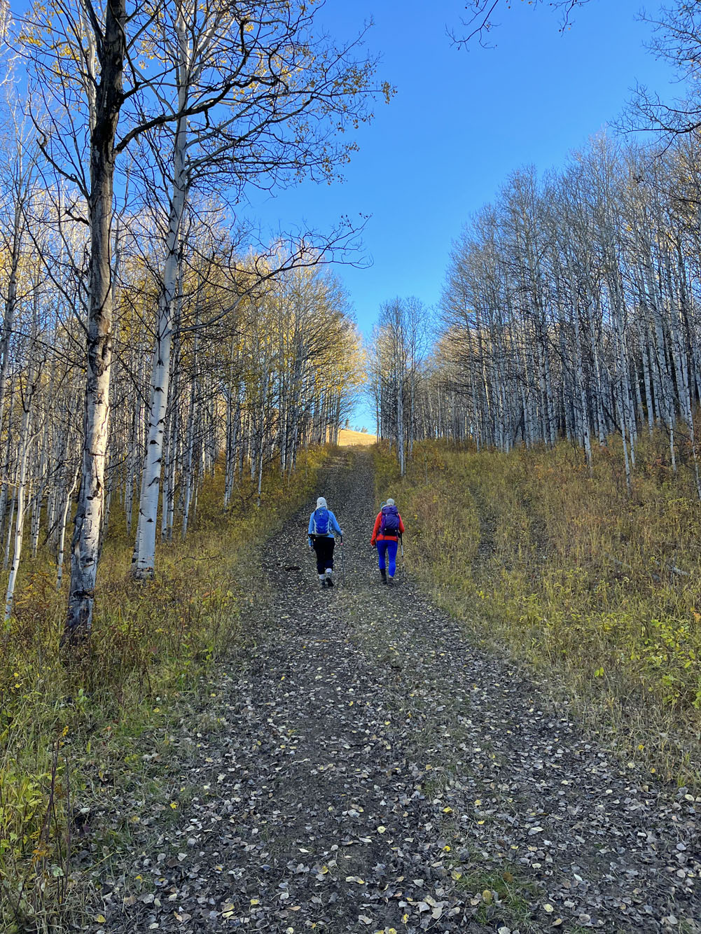
 We soon turned right into the forest
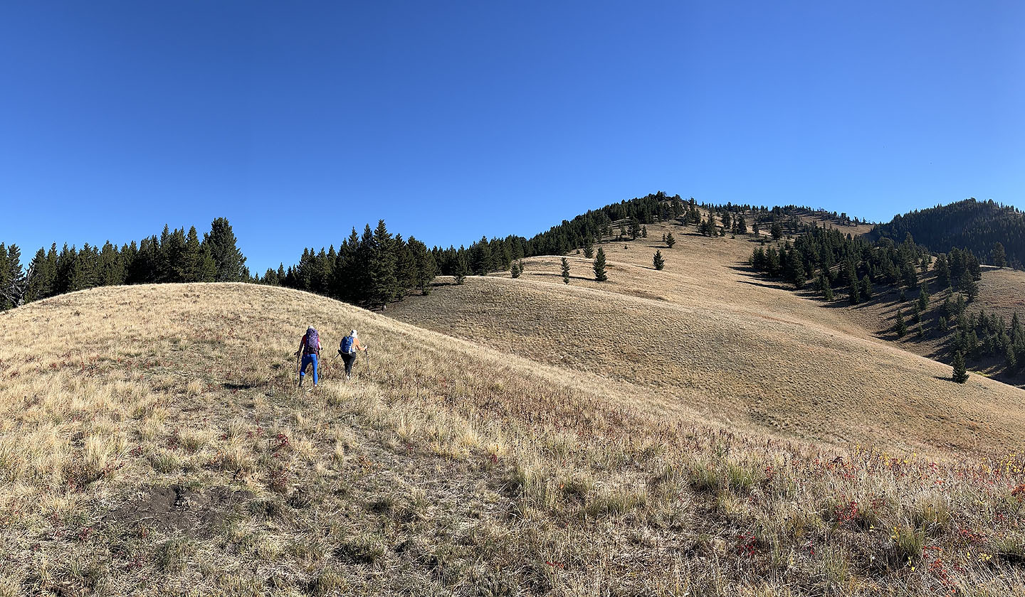
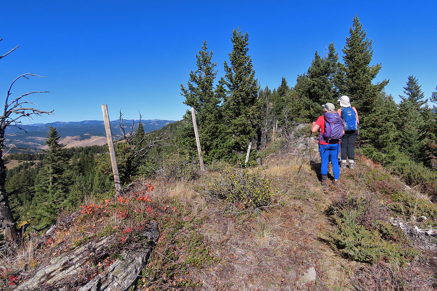
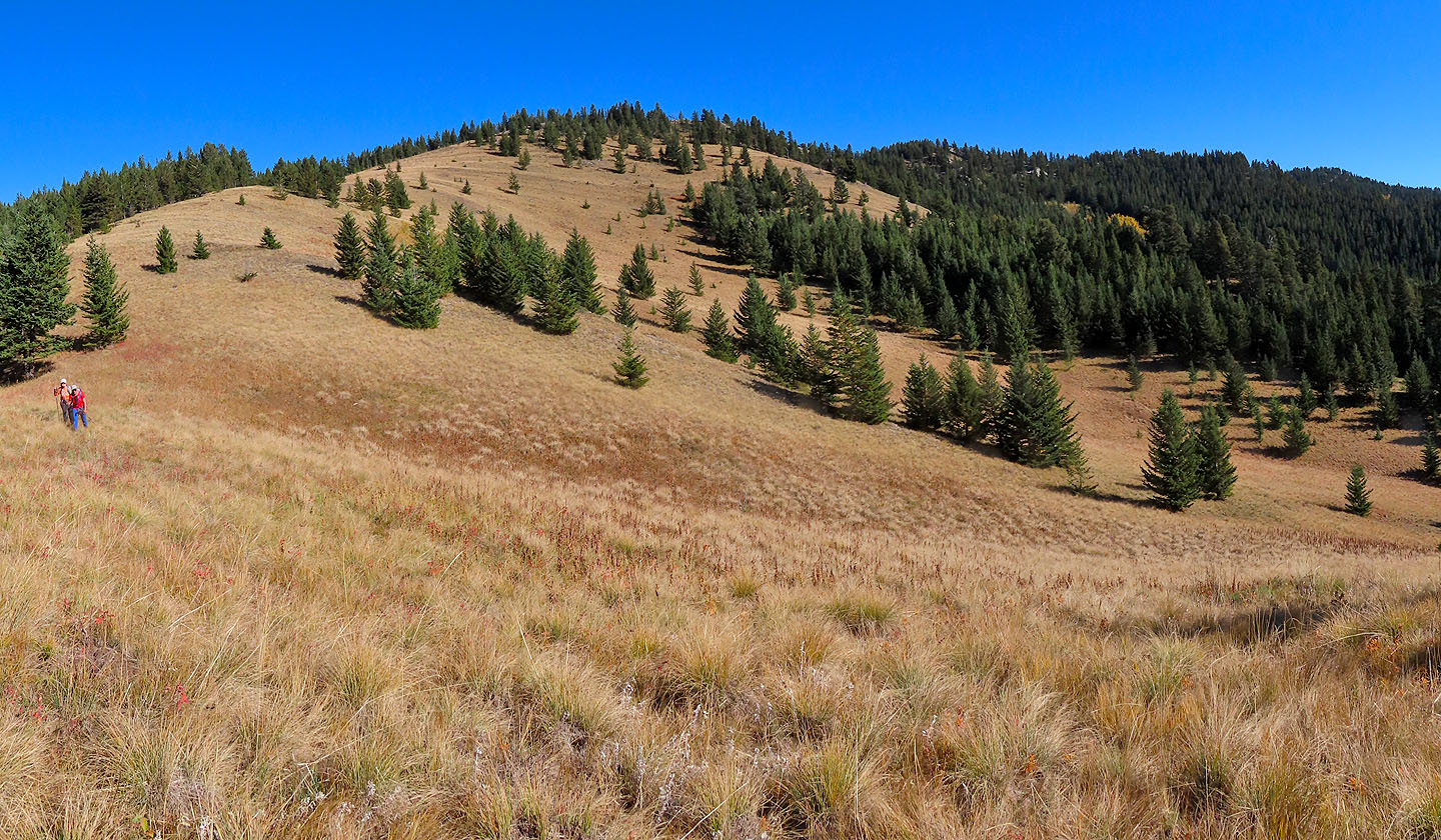
 We made our way to the end of the ridge
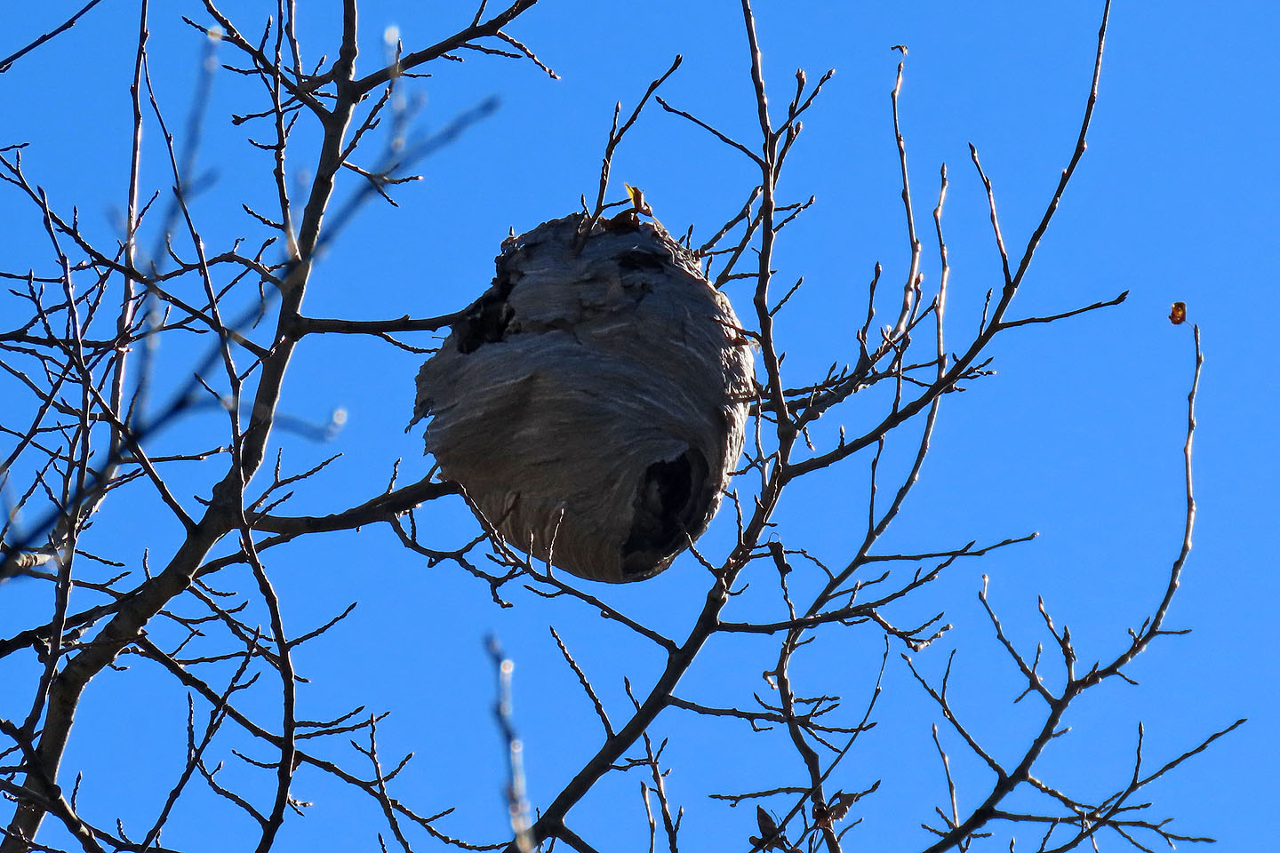 We passed a wasp nest
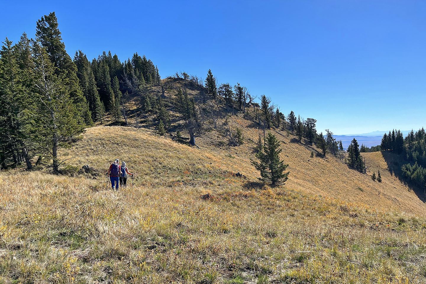
 Heading to the end of the ridge
 Looking back after starting up
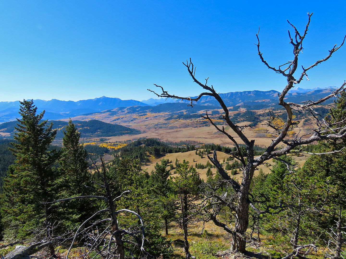
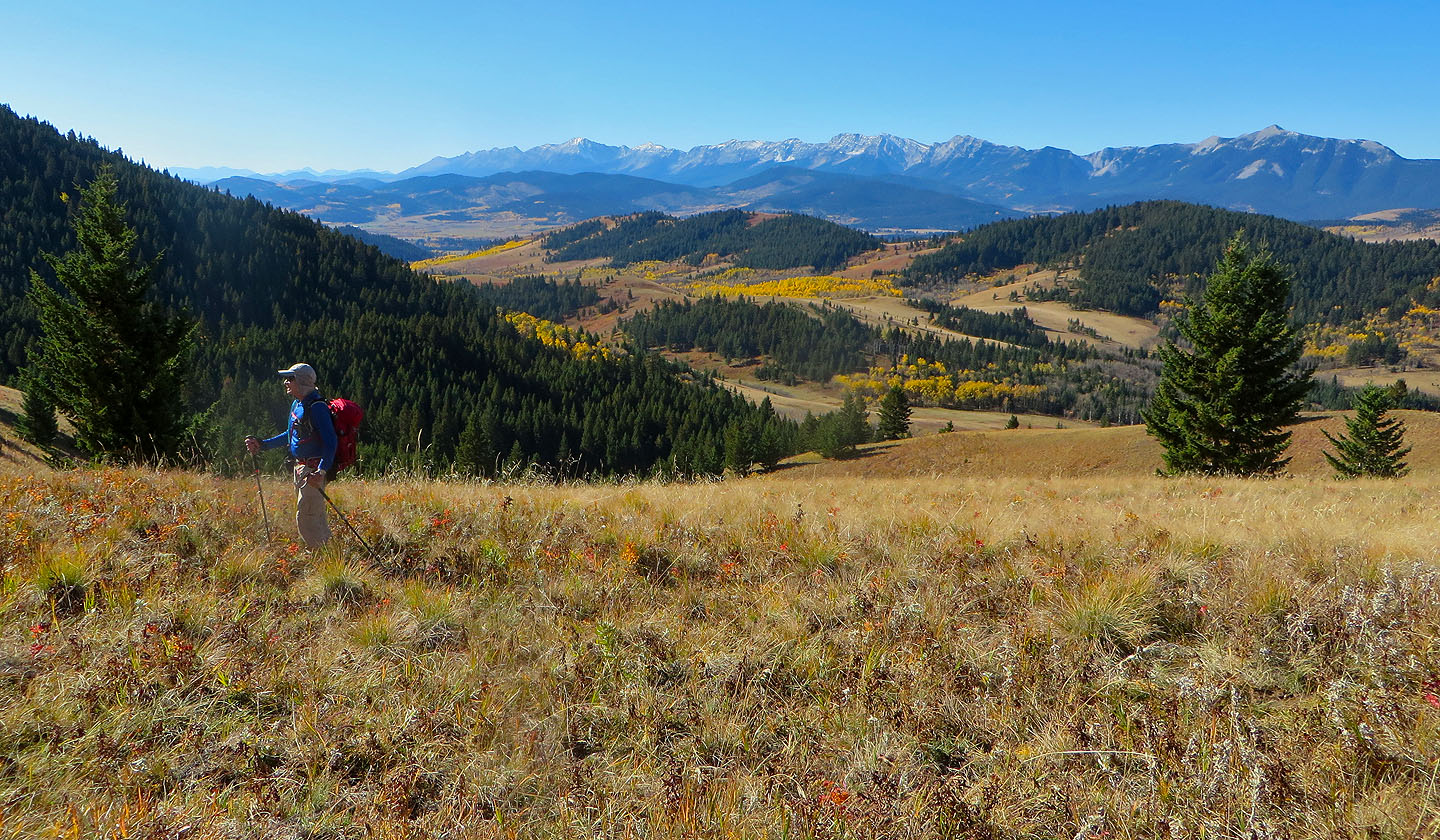 Livingstone Range stretches behind us
A small rock band offered no resistance
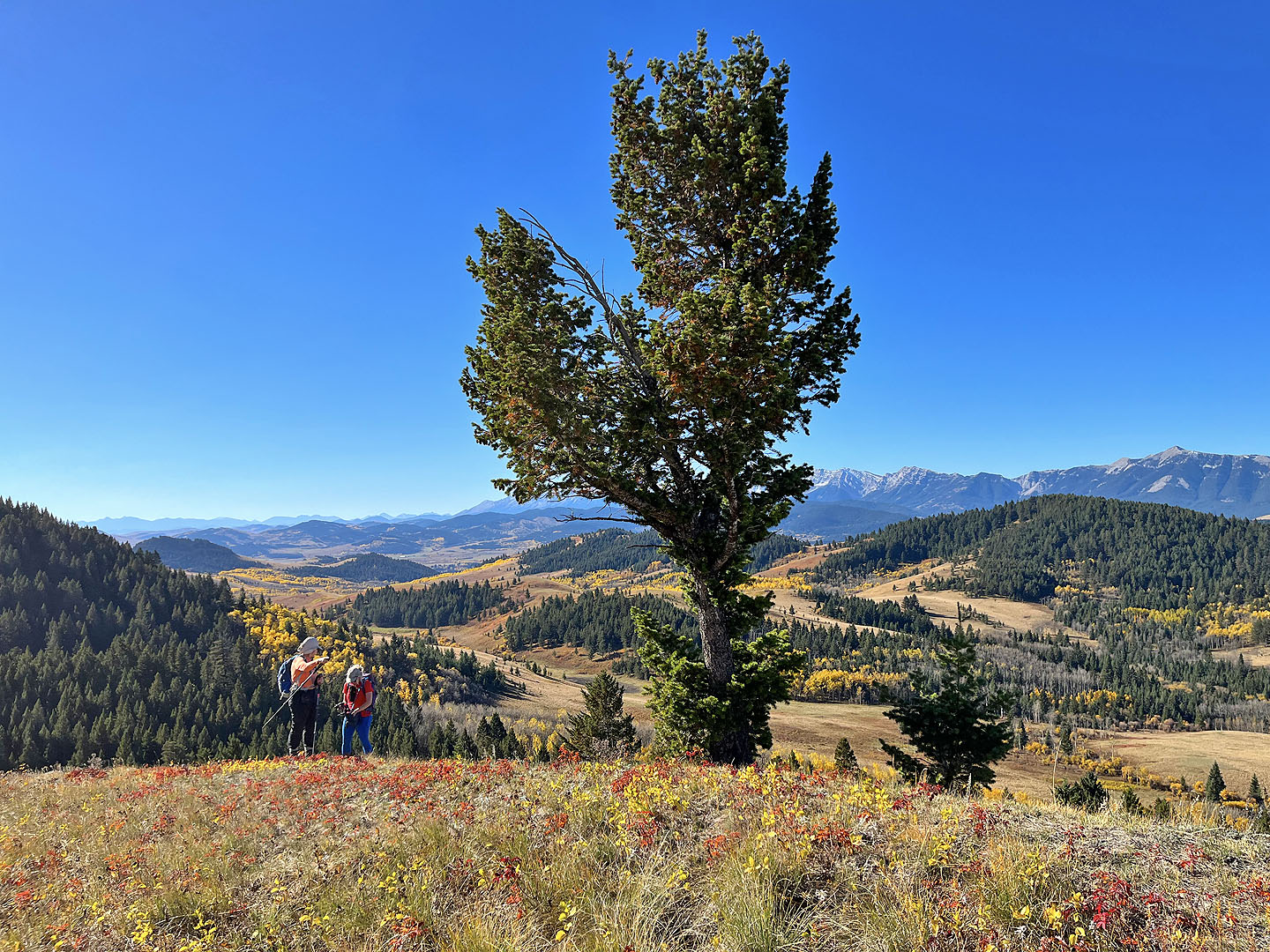 A solitary tree stands out on the ridge
On the way to the summit, second bump from the right
 Looking back along the ridge
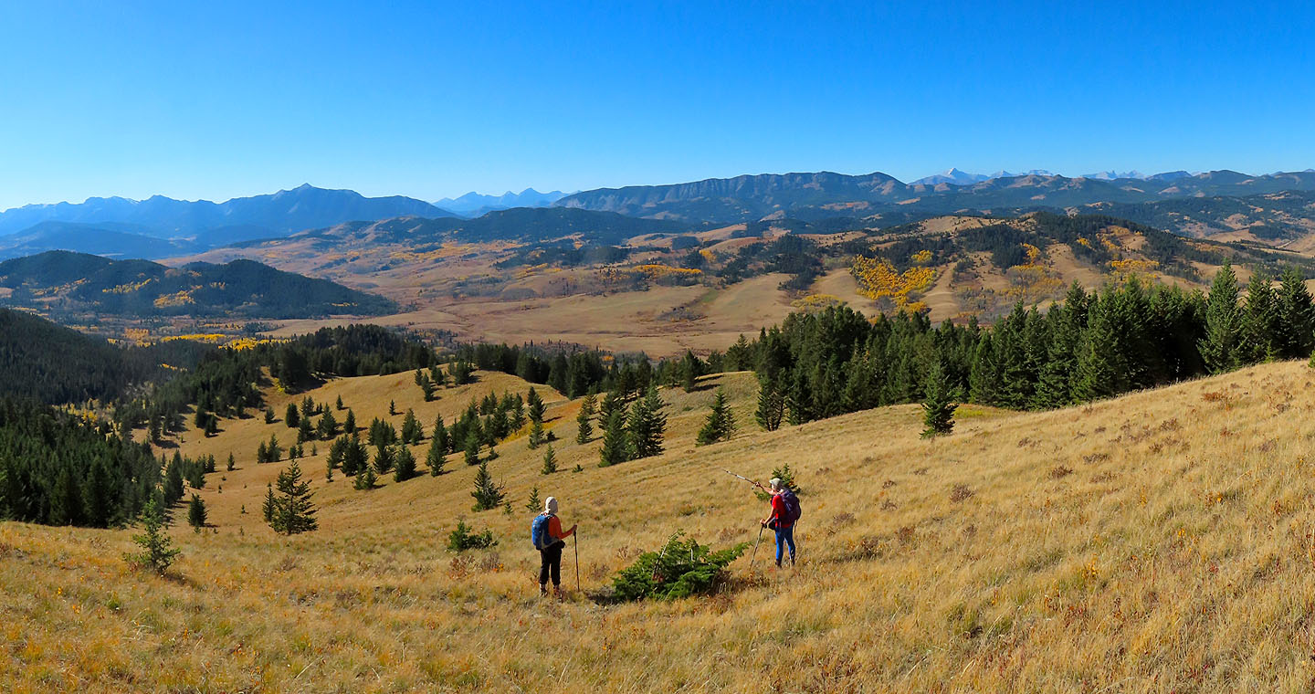
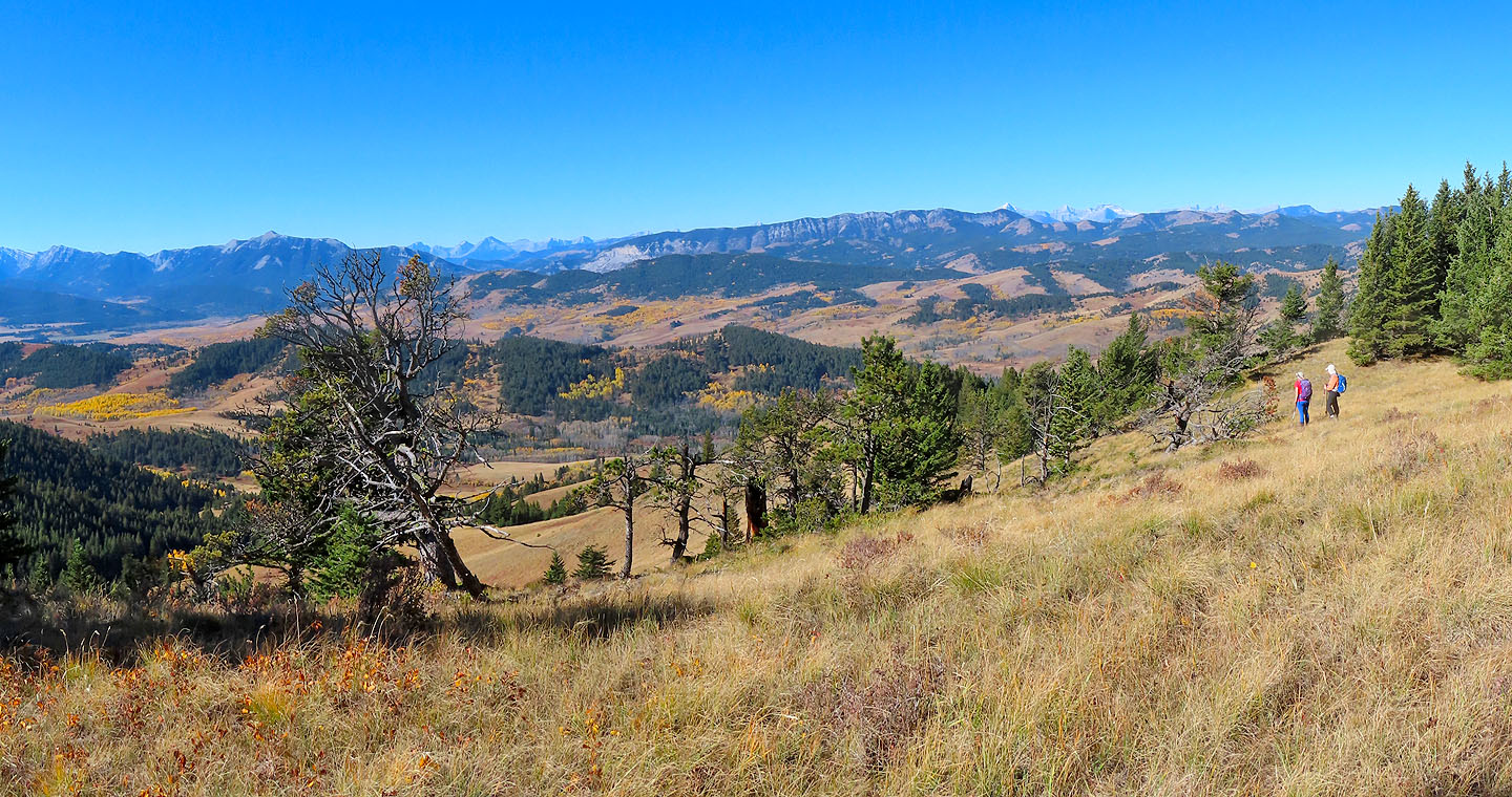 The girls stopped to take in the view
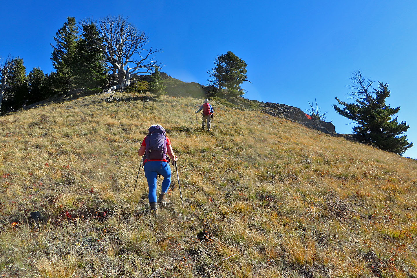
 Almost at the little summit
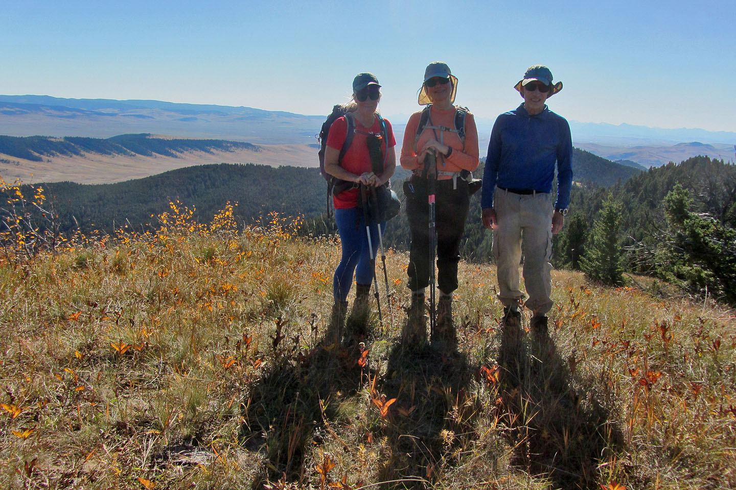 Standing on the top
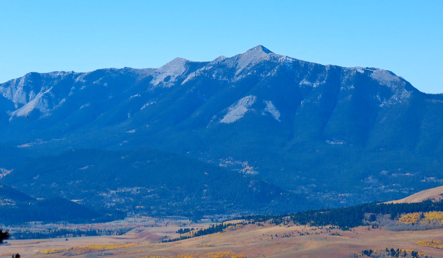
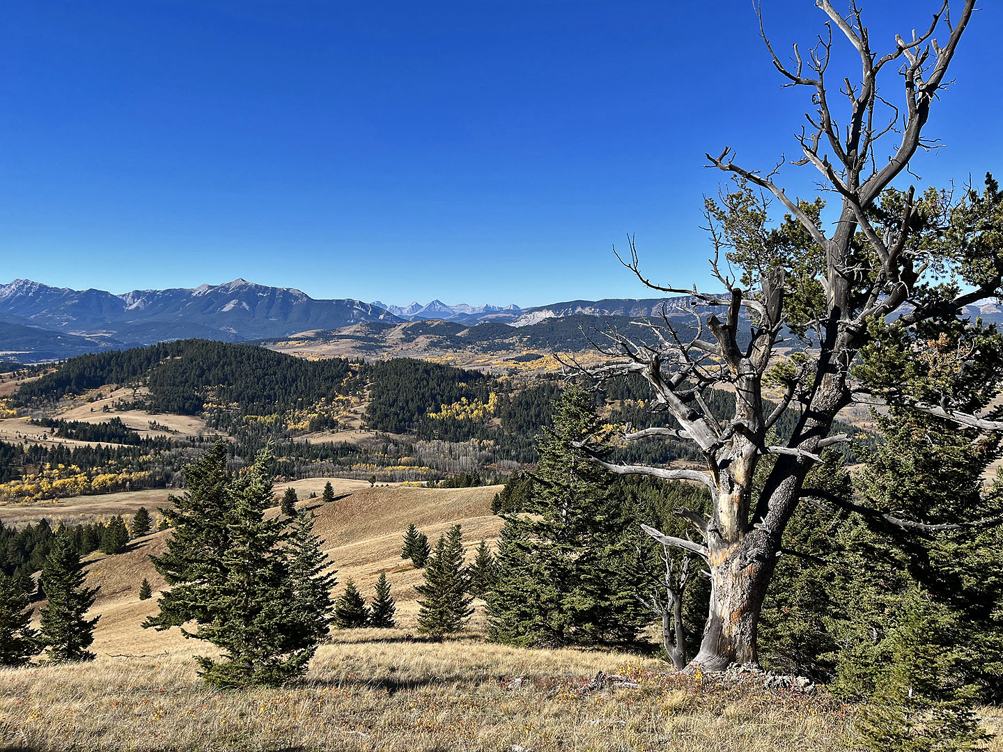
Livingstone Lookout on Thrift Peak. Below is Camp Ridge.
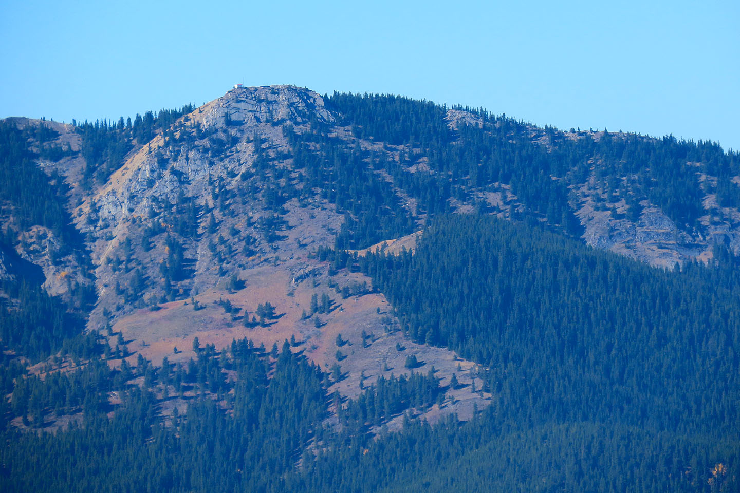
 Porcupine Hills. We could just make out the lookout tower (mouse over).
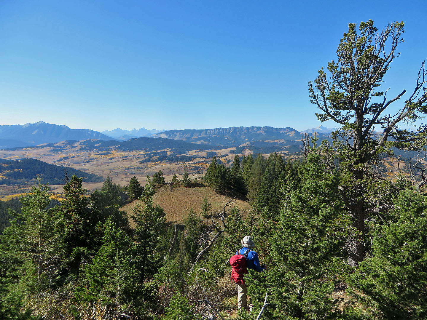
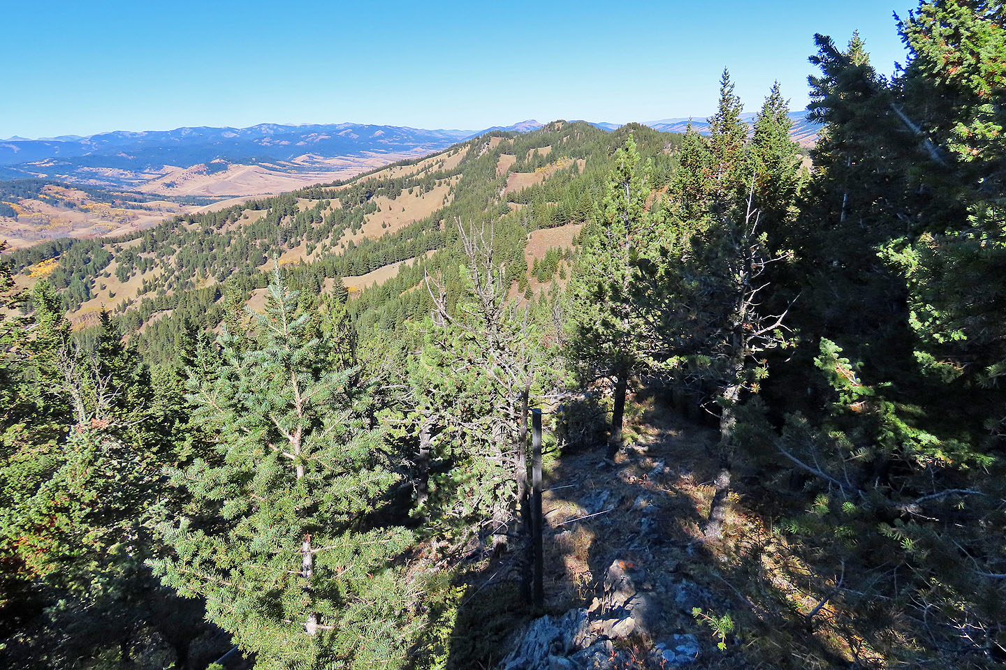 After starting along the ridge, our final high point and our descent ridge can be seen in the distance
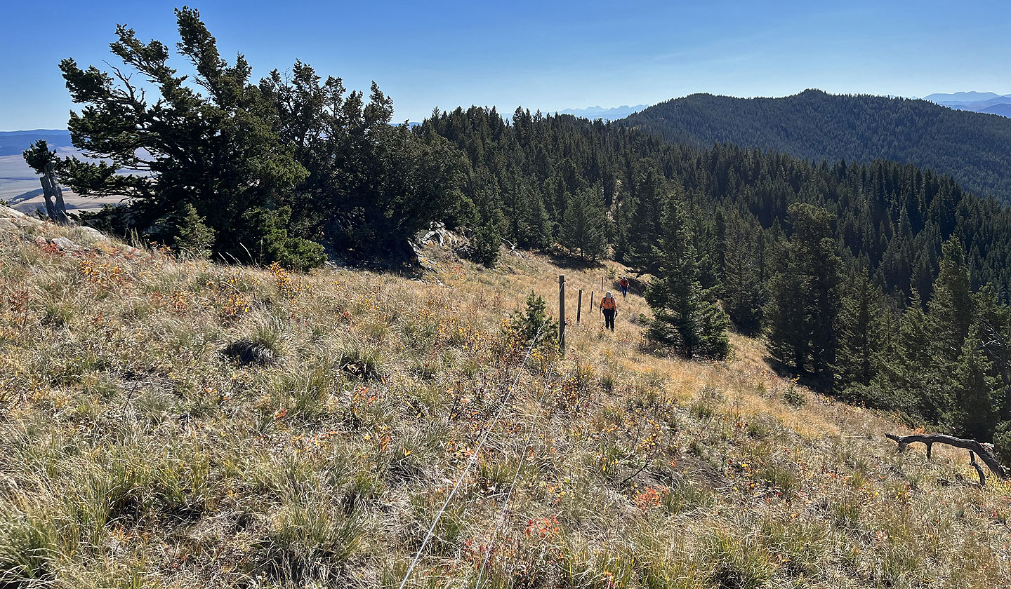
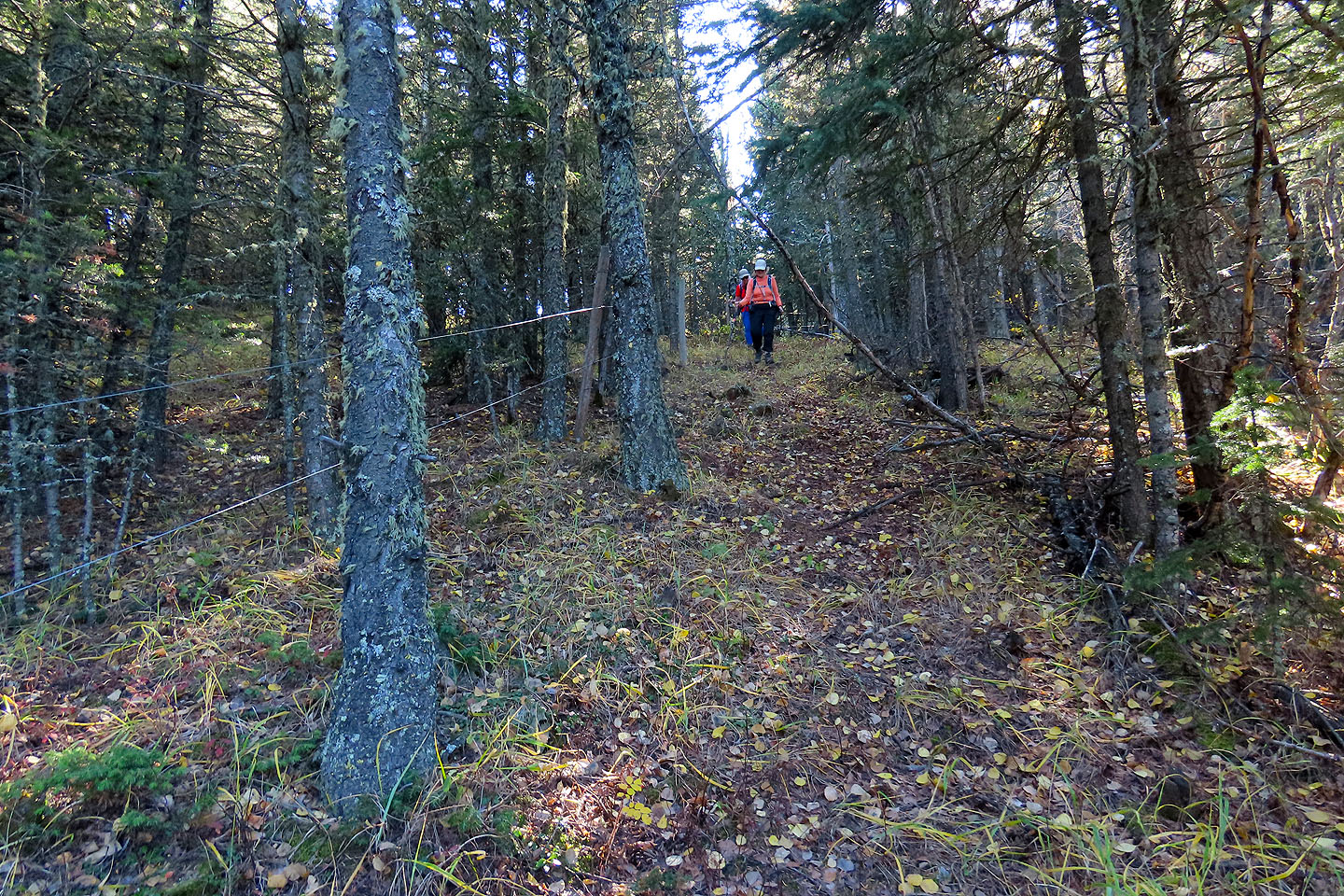 We followed the path alongside the ridgeline fence
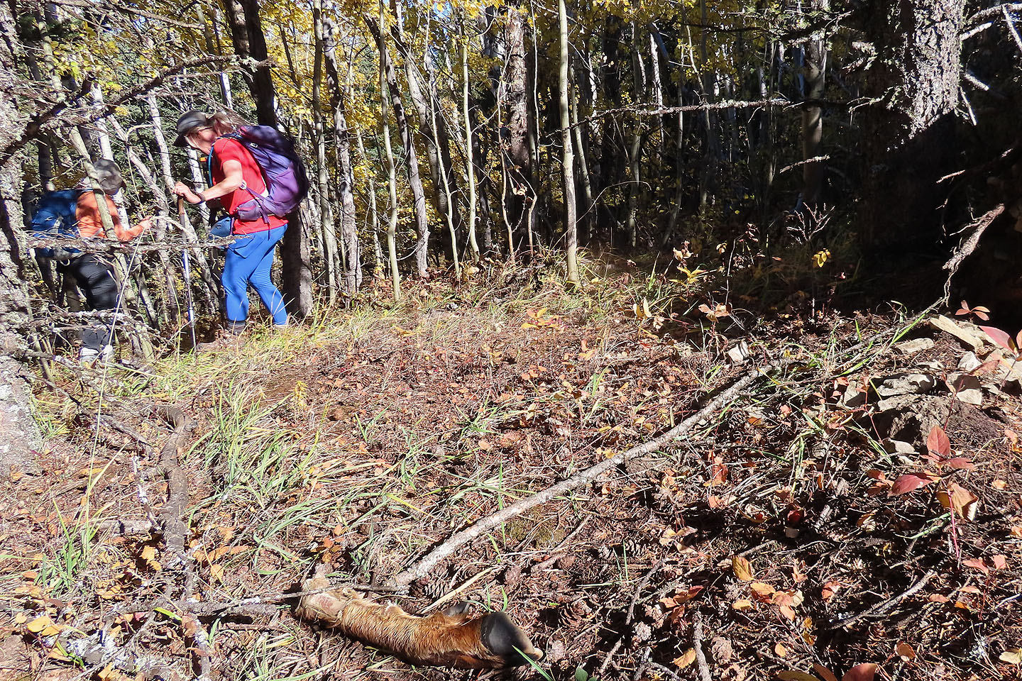 We passed a deer leg
We came to a road that's a shortcut back to the valley, but we continued along the ridge
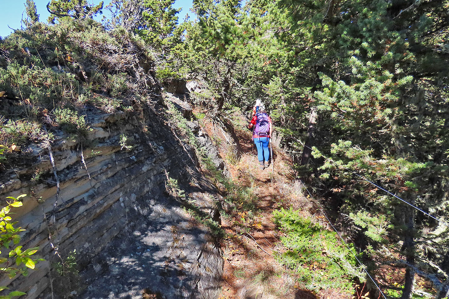
 There are a few breaks along the crest
 There are also some rocks
 Looking back at the summit bump just before reaching the descent ridge
Starting down the ridge
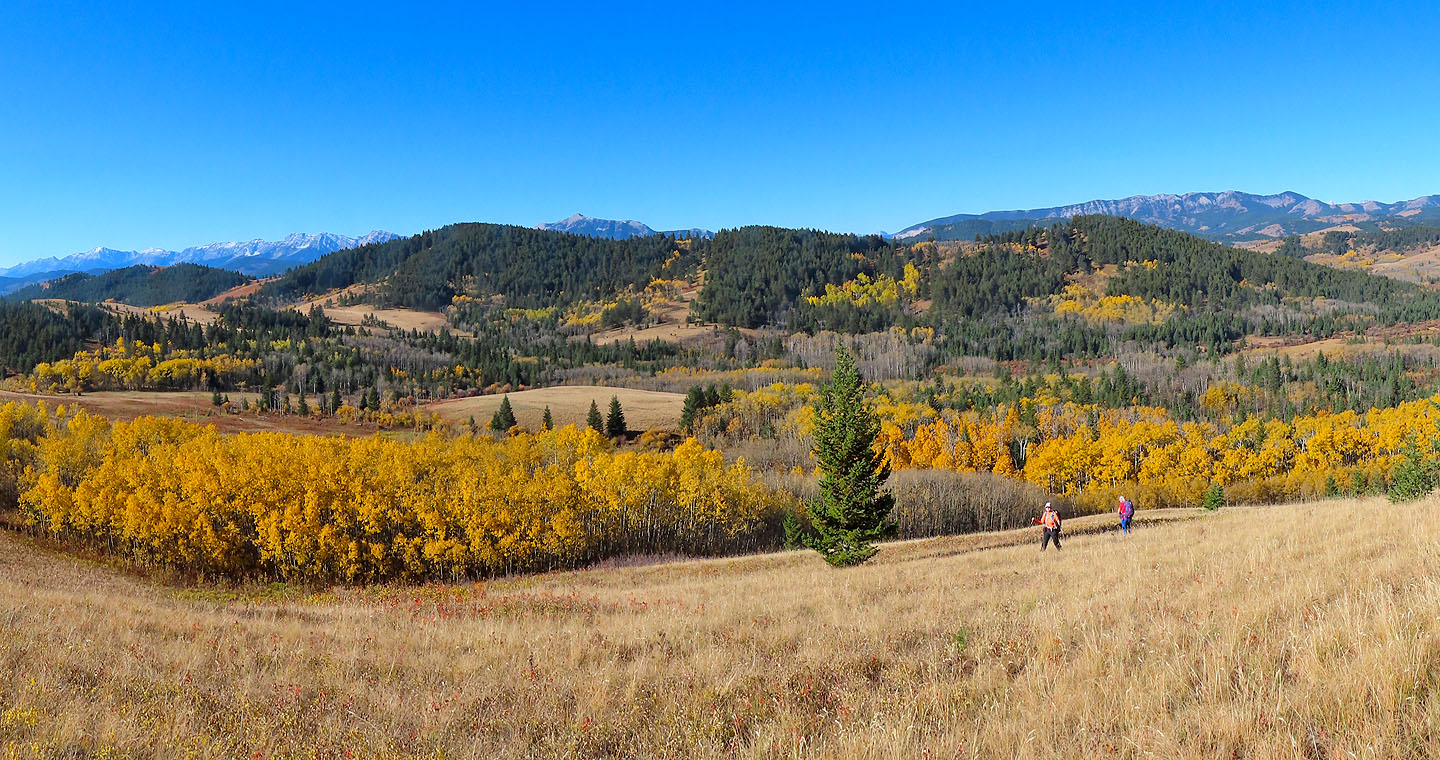
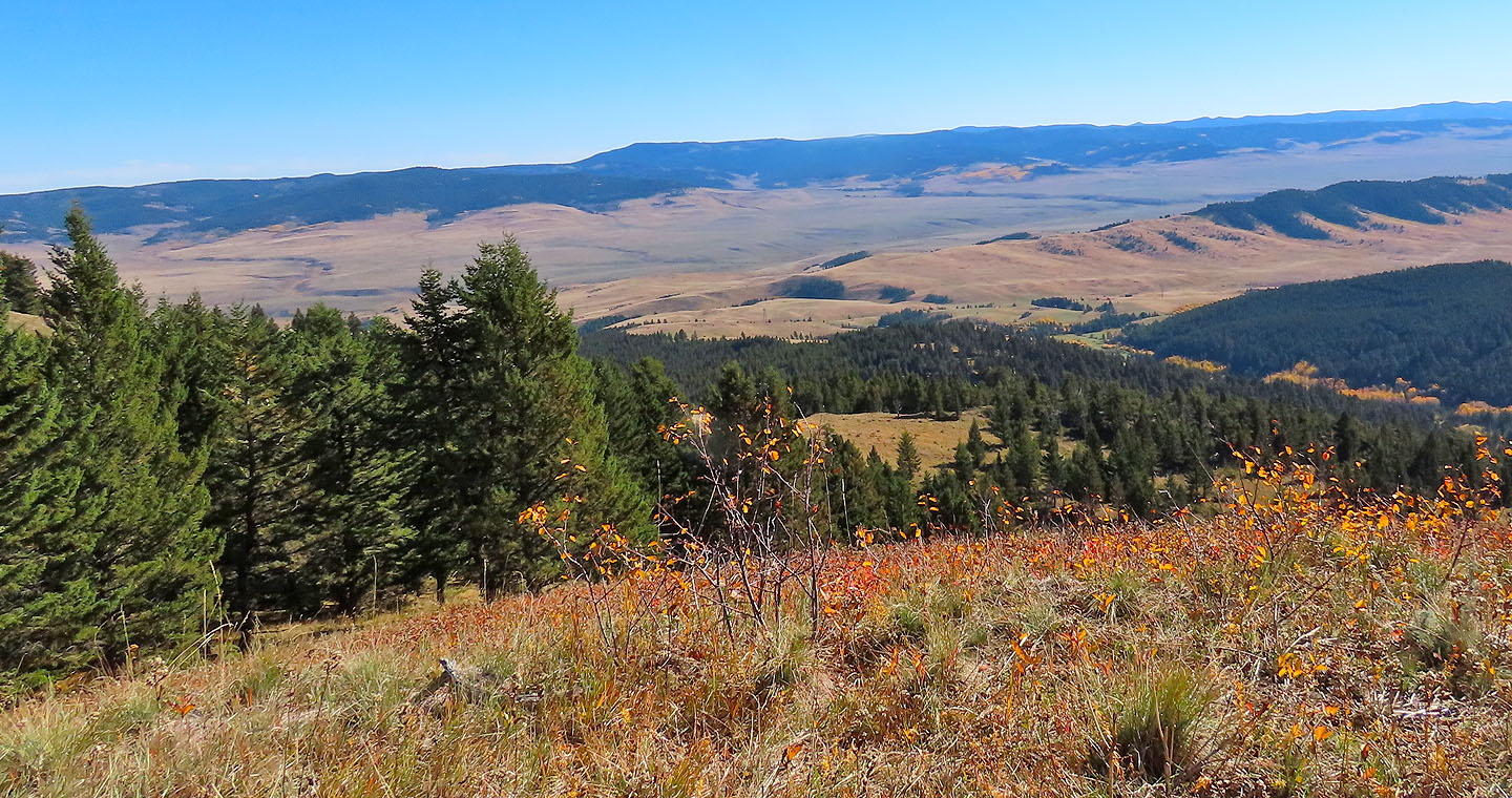
 We made our way to the open ridge and eventually reached the yellow aspens far below
Going down the ridge
Looking back
 We didn't go over the bump at the end of the ridge, but dropped to the valley on the left

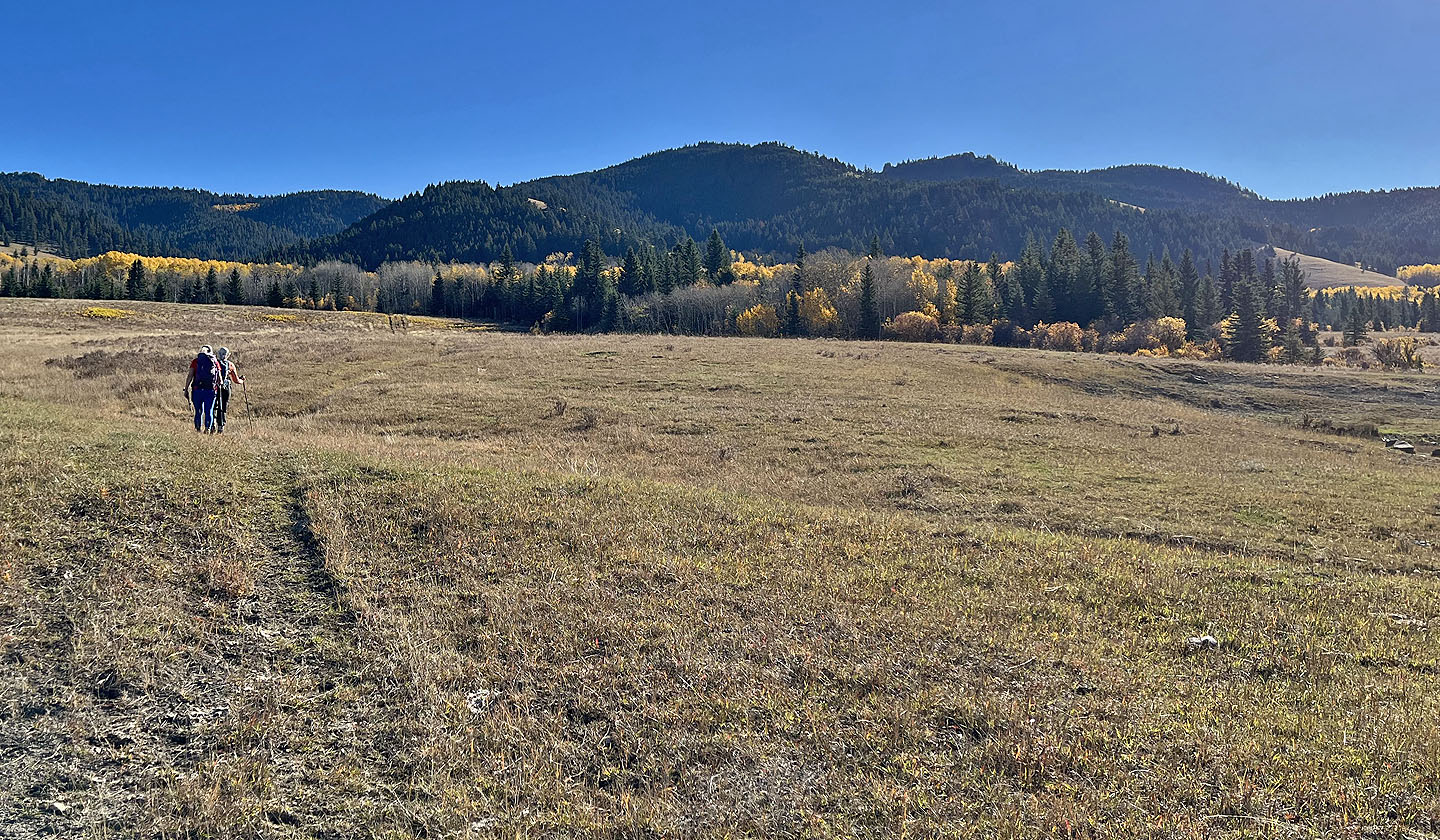
We followed a trail in the valley
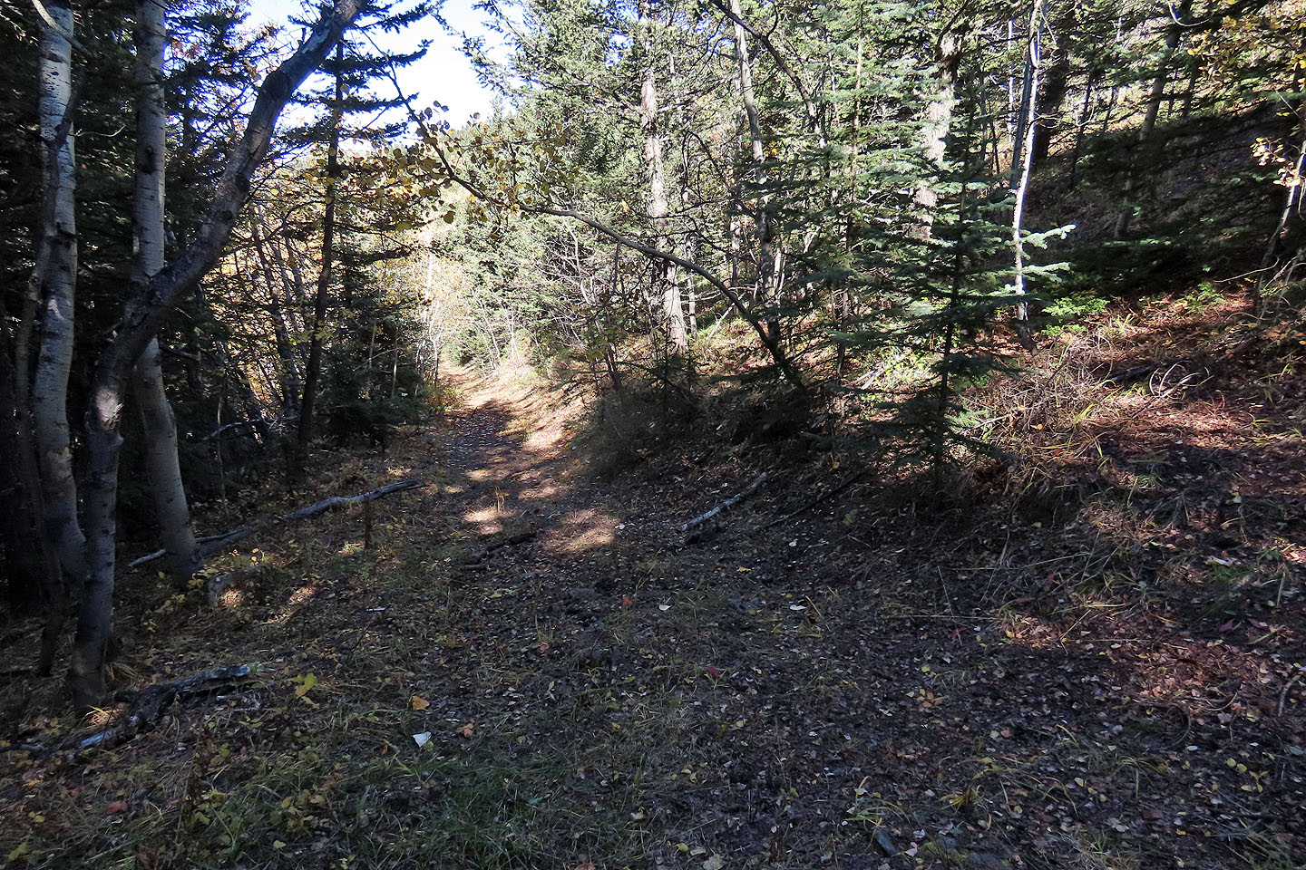
The trail led to a road in the trees
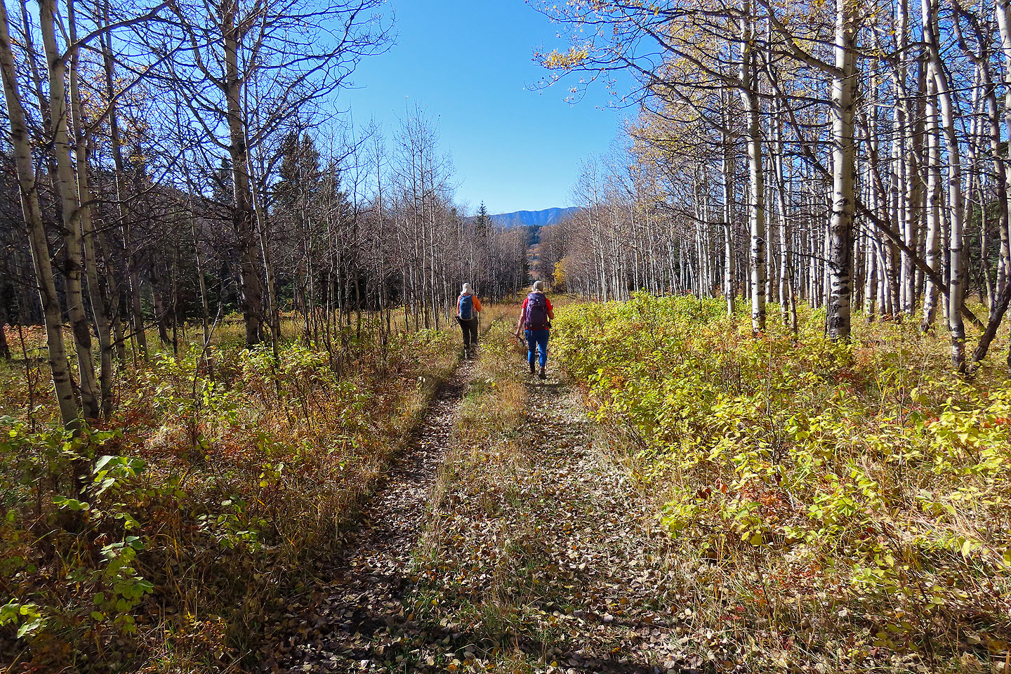 Back on the road we came up on
 82 G/16 Maycroft