bobspirko.ca | Home | Canada Trips | US Trips | Hiking | Snowshoeing | MAP | About
Beaverdam Ridge
Bob Creek Wildland, Alberta
October 17, 2021
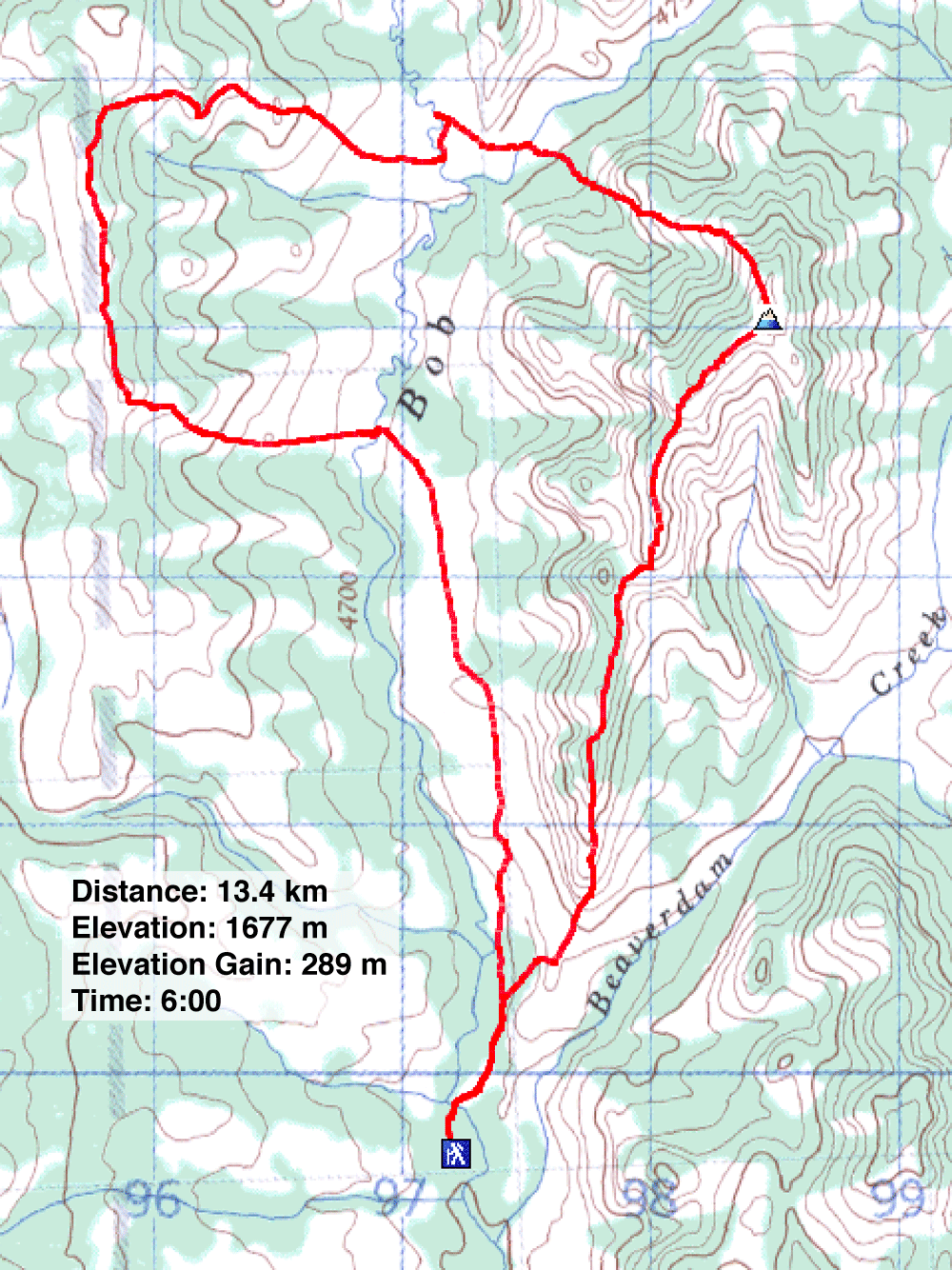
Distance: 13.4 km (8.3 mi)
Cumulative Elevation Gain: 600 m (1959 ft)
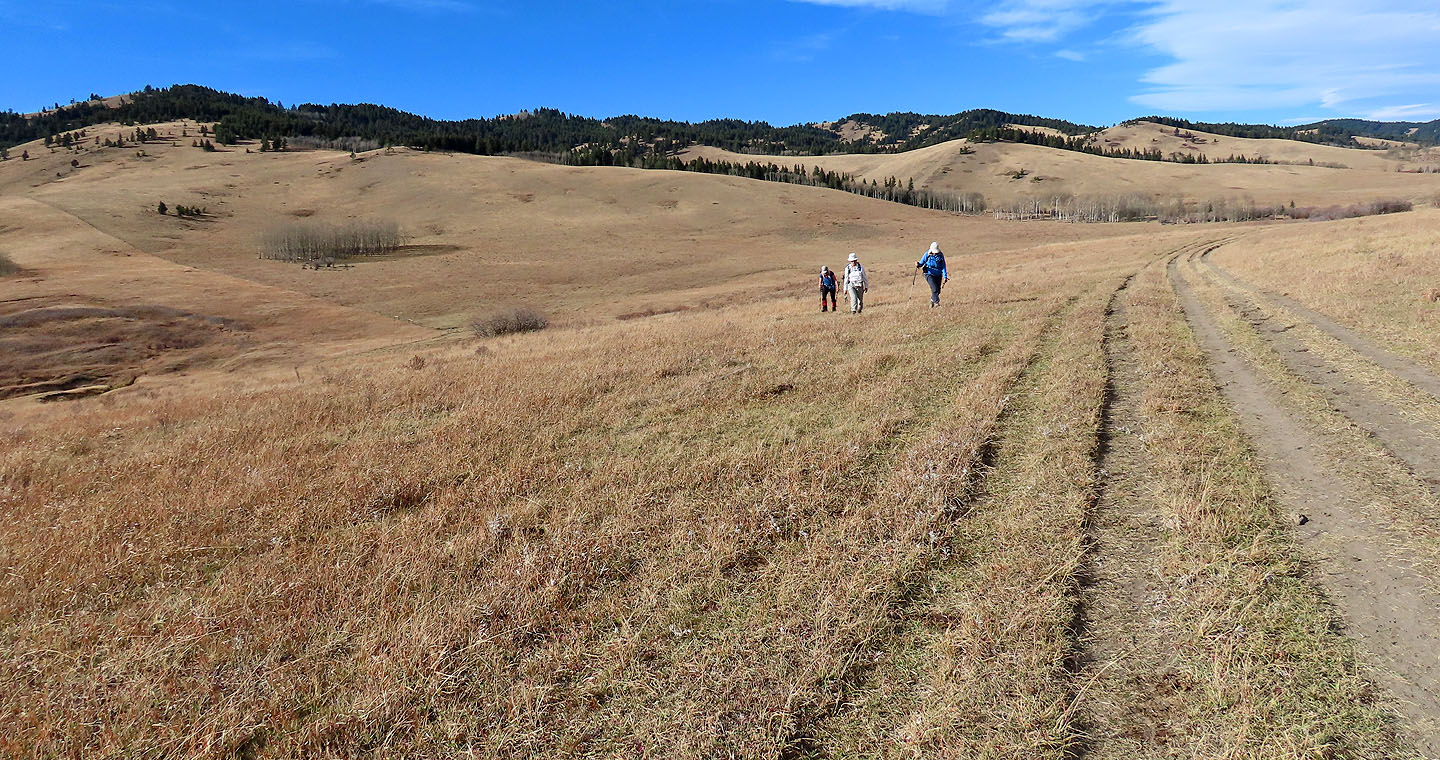
For something different, we ventured up Beaverdam Ridge. Here, radiant meadows rather than shadowy forests dominated the landscape. But the meadows were home to hundreds of cows when we were there. Dozens blocked the trail, mooing loudly as if distressed. But by the time we geared up, the cows had moved on although not far. Zora, Christine, Dinah and I started up the trail, warily watching where we stepped and reluctantly herding Angus cattle that didn't move aside.
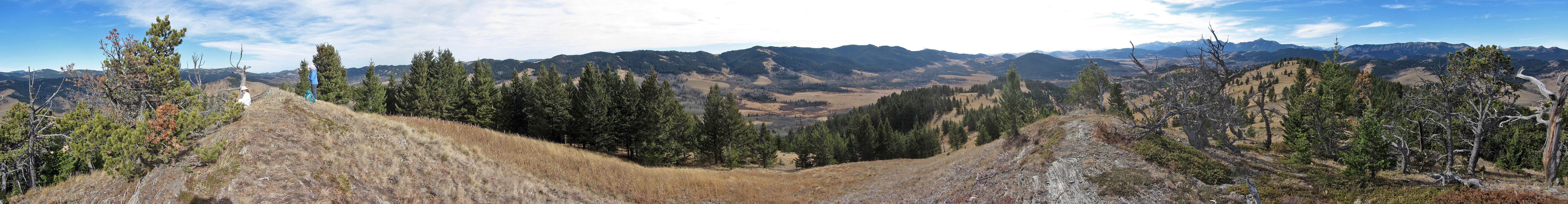
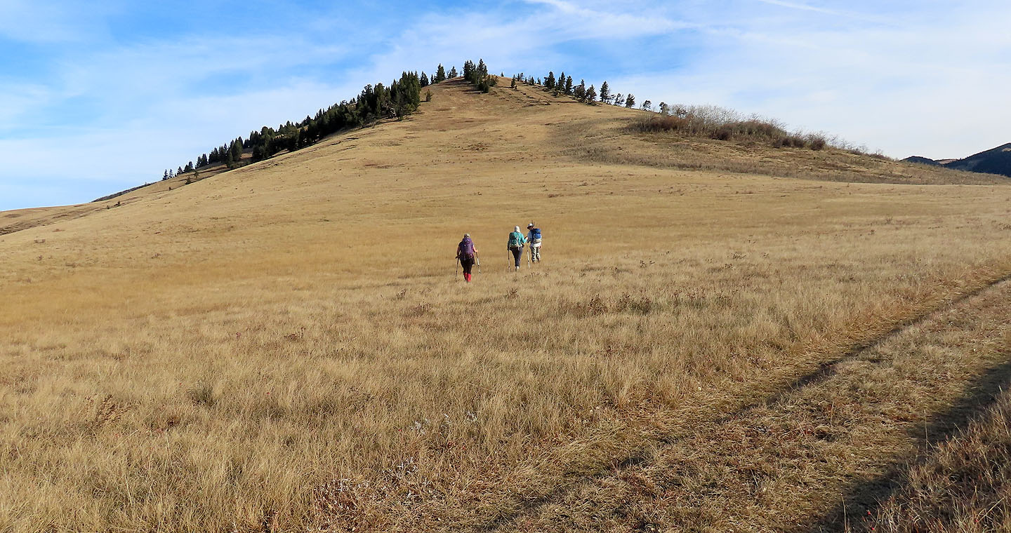
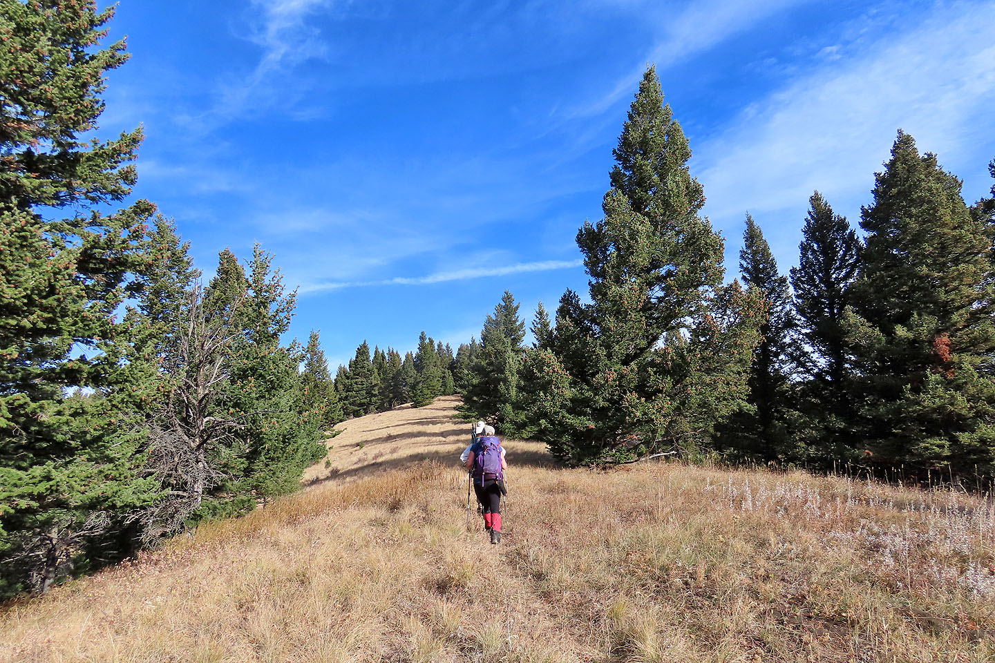
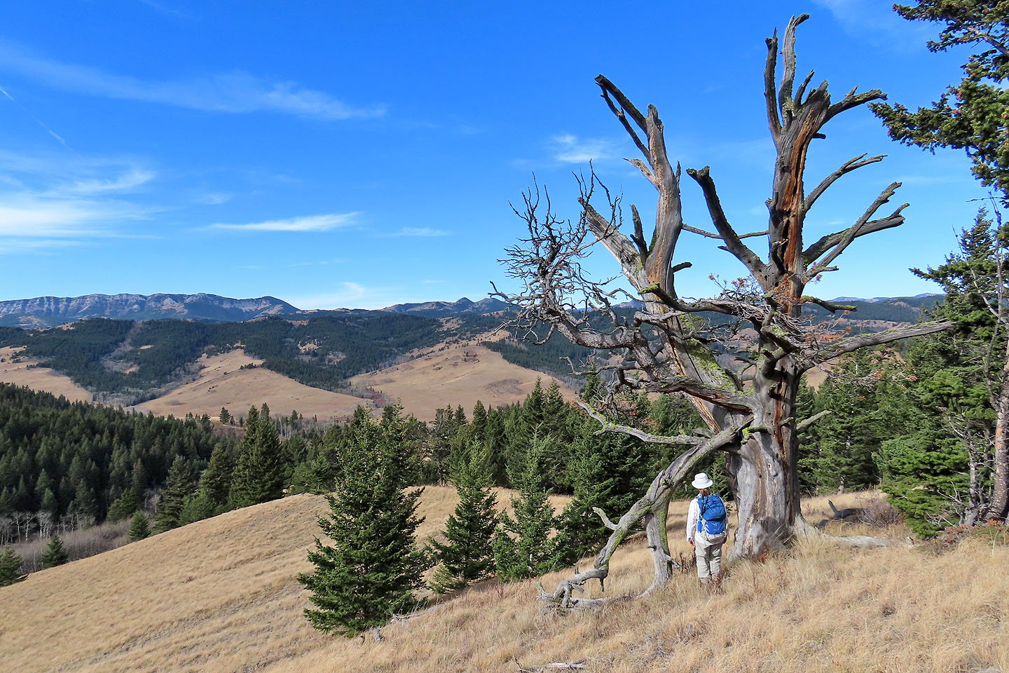
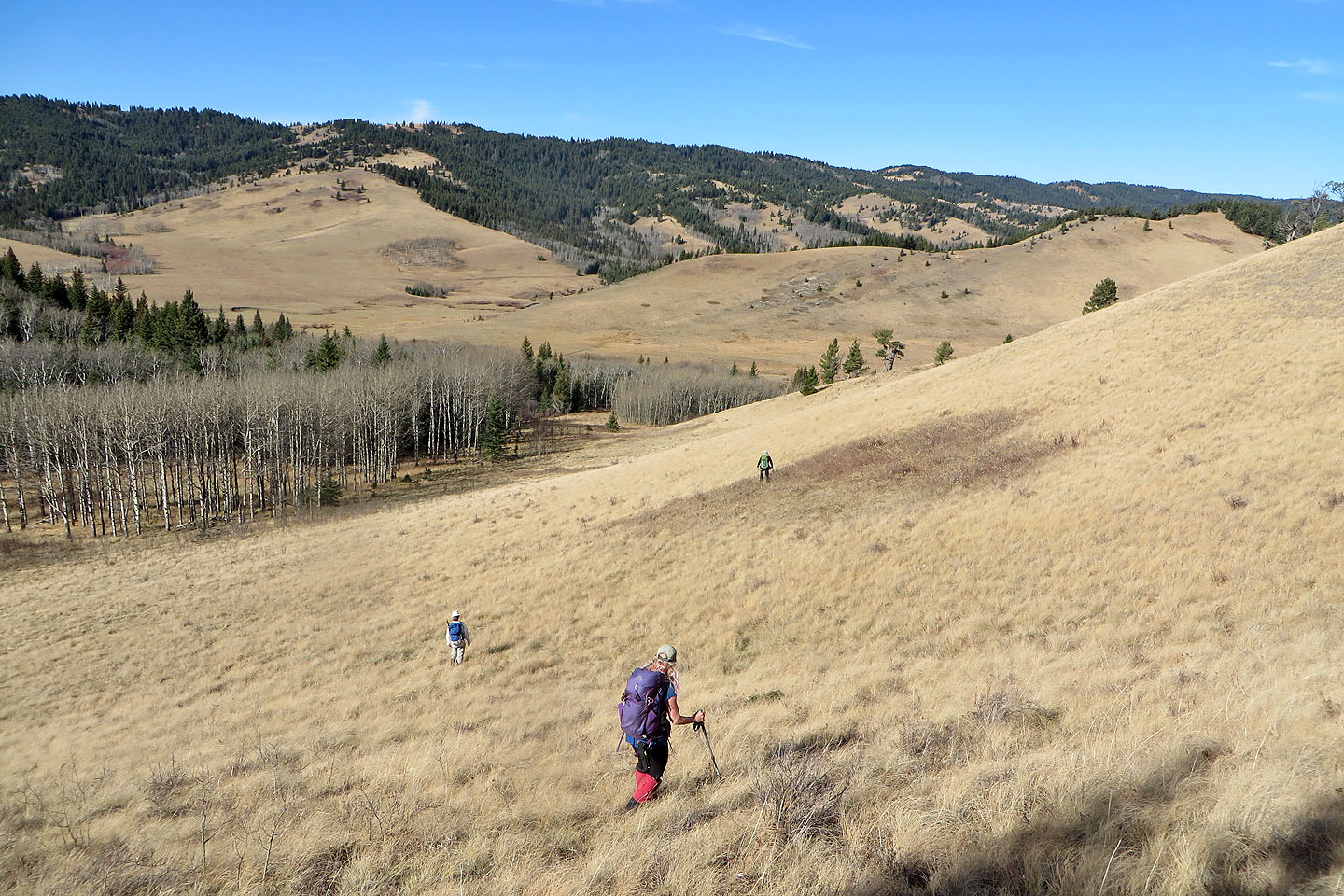
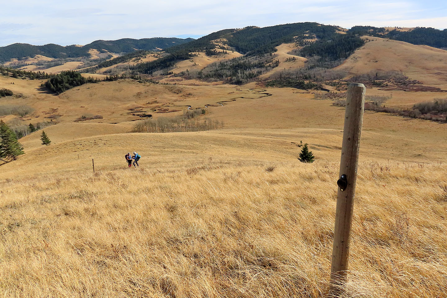
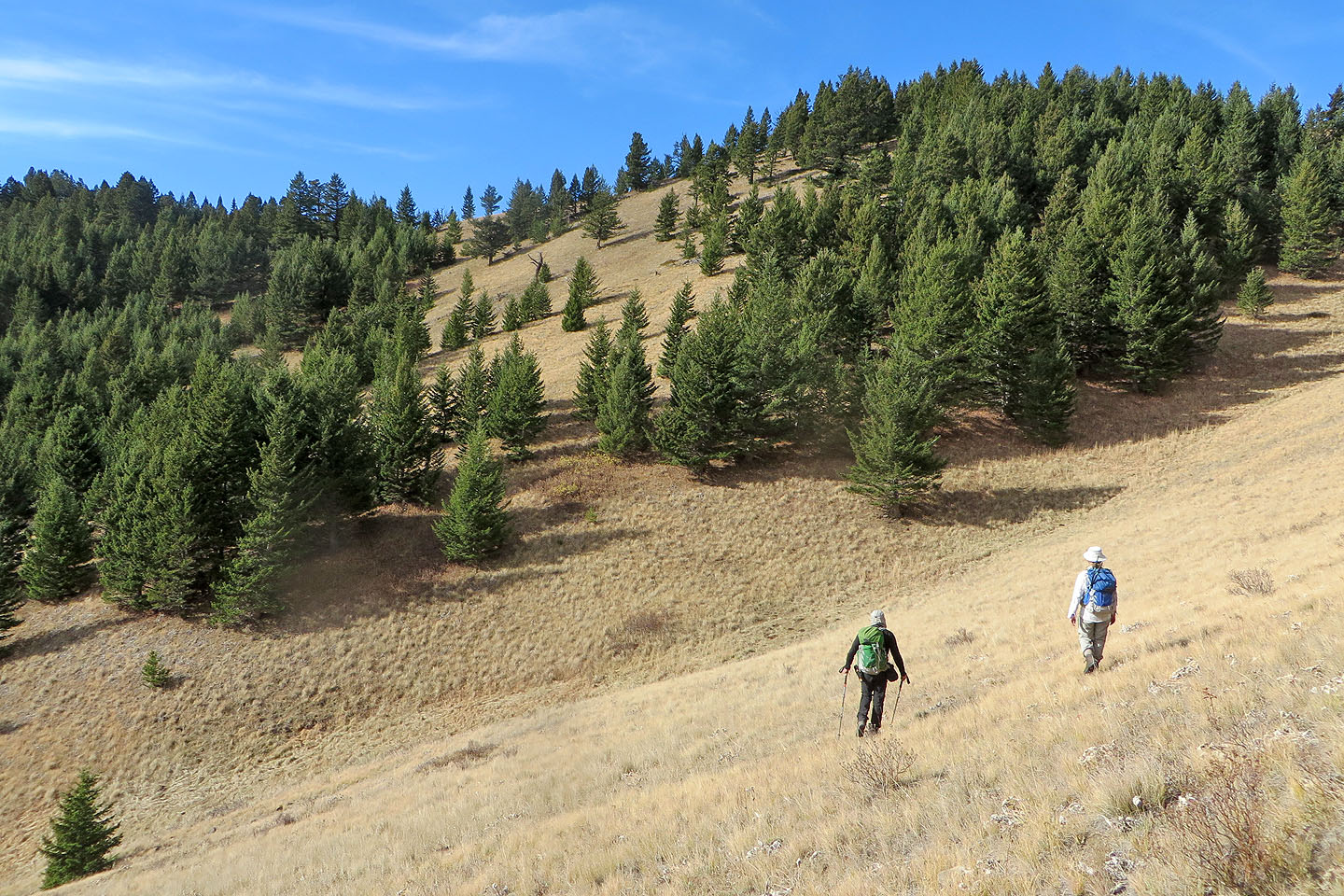
We left the animals behind when we turned off the trail and started up the grassy south ridge. We soon reached the crest. We followed the sparsely treed ridge where we were treated to the sight of majestic limber pines. We passed bow hunters lounging by a spotting scope, looking for elk.
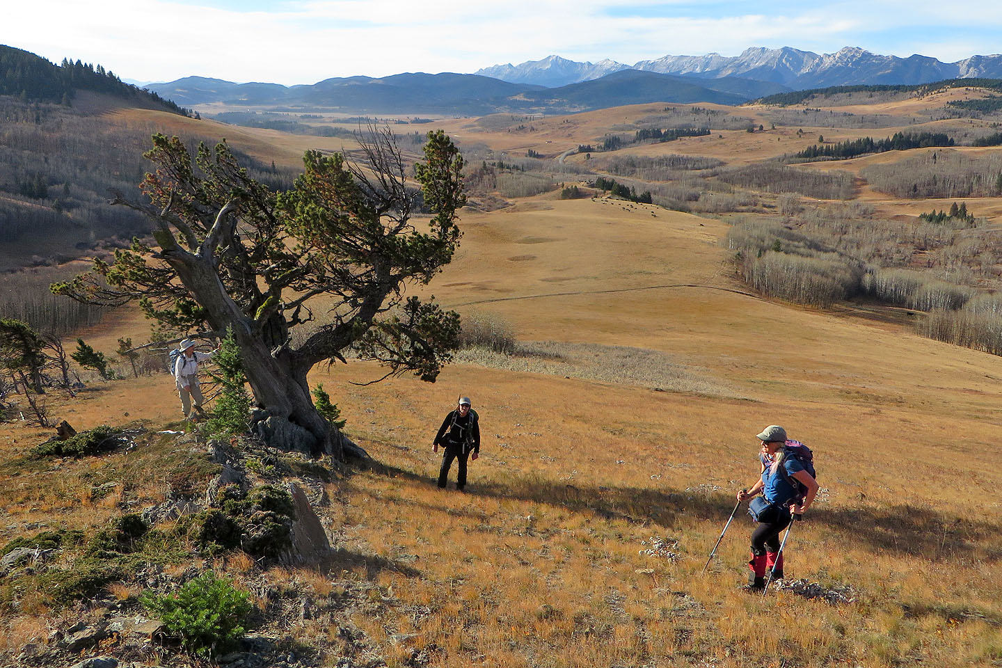
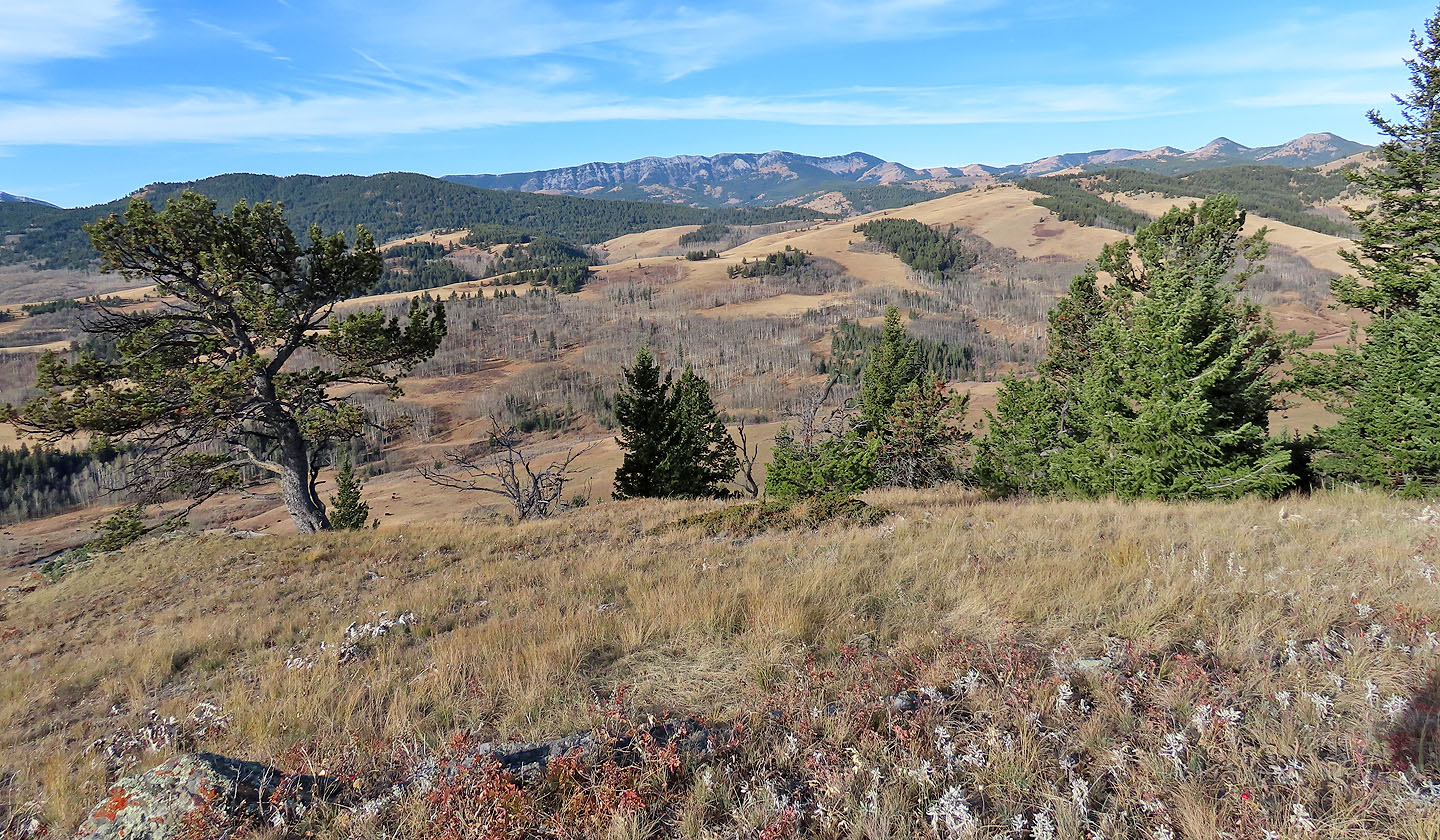
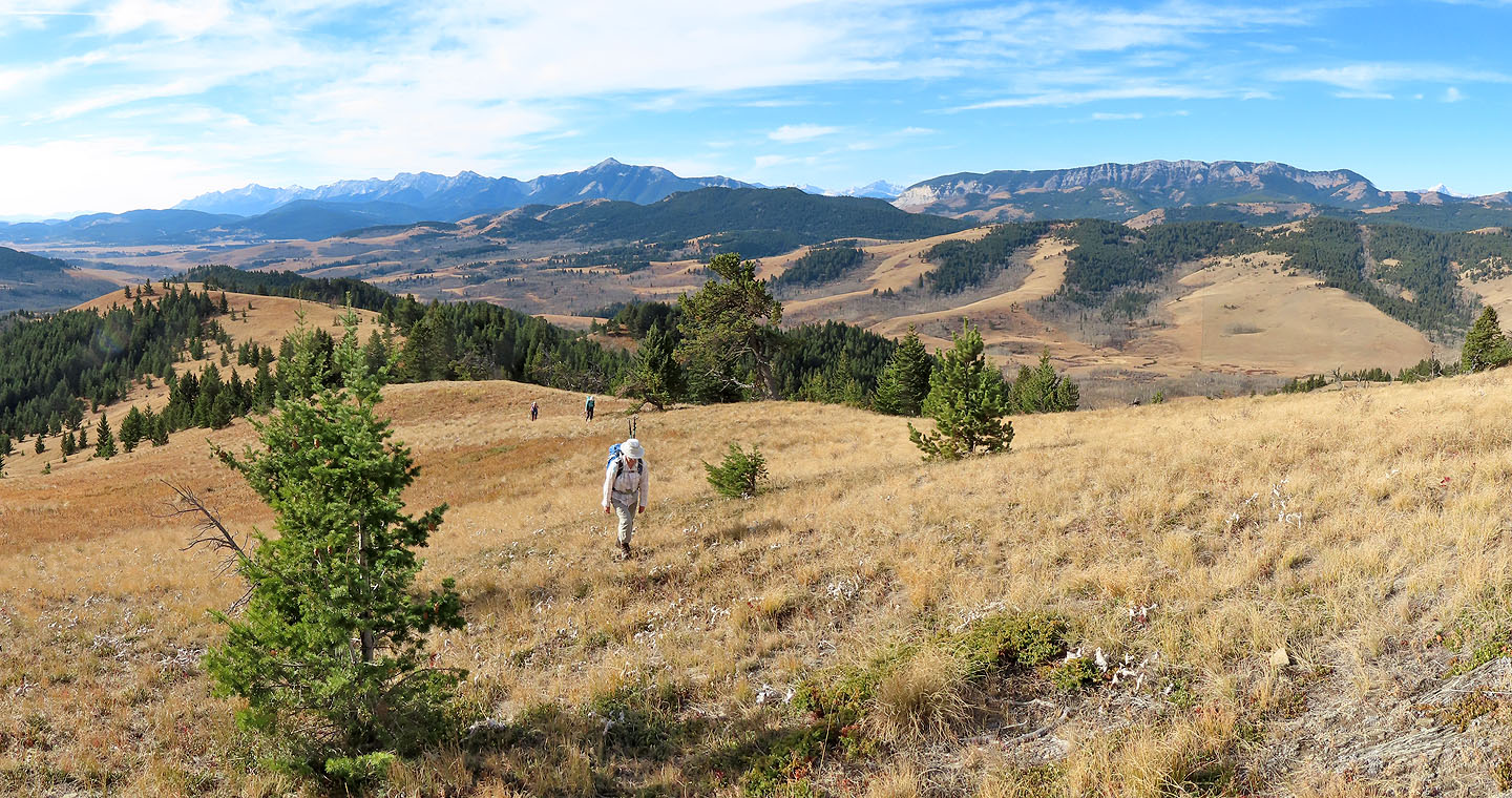
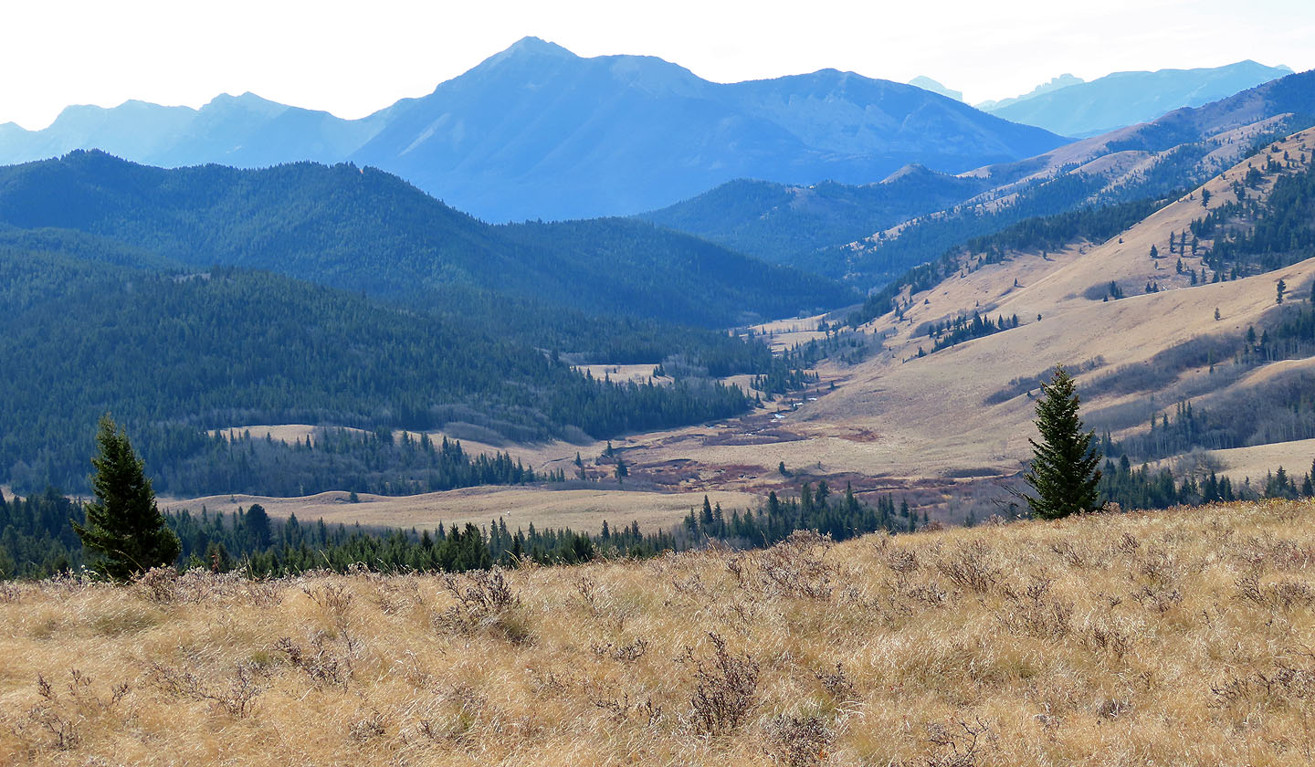
Eventually we reached the summit of Beaverdam Ridge where we had a fine view of Livingstone Range. It was a remarkably warm fall day that invited an extended hike – we had long since stuffed our jackets in our packs where they remained for the rest of the trip. So we turned to Little Whaleback Ridge on the other side of Bob Creek.
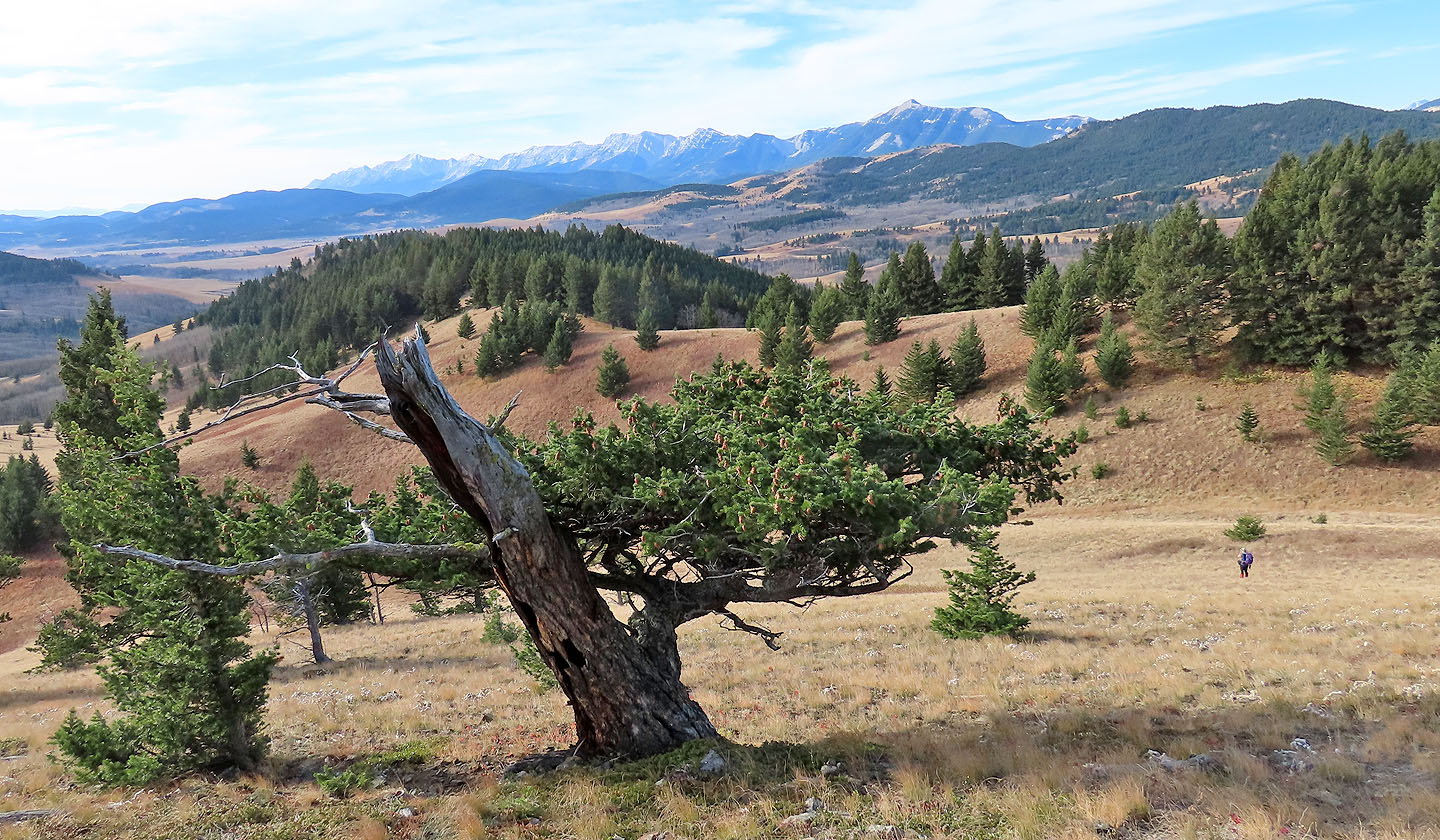
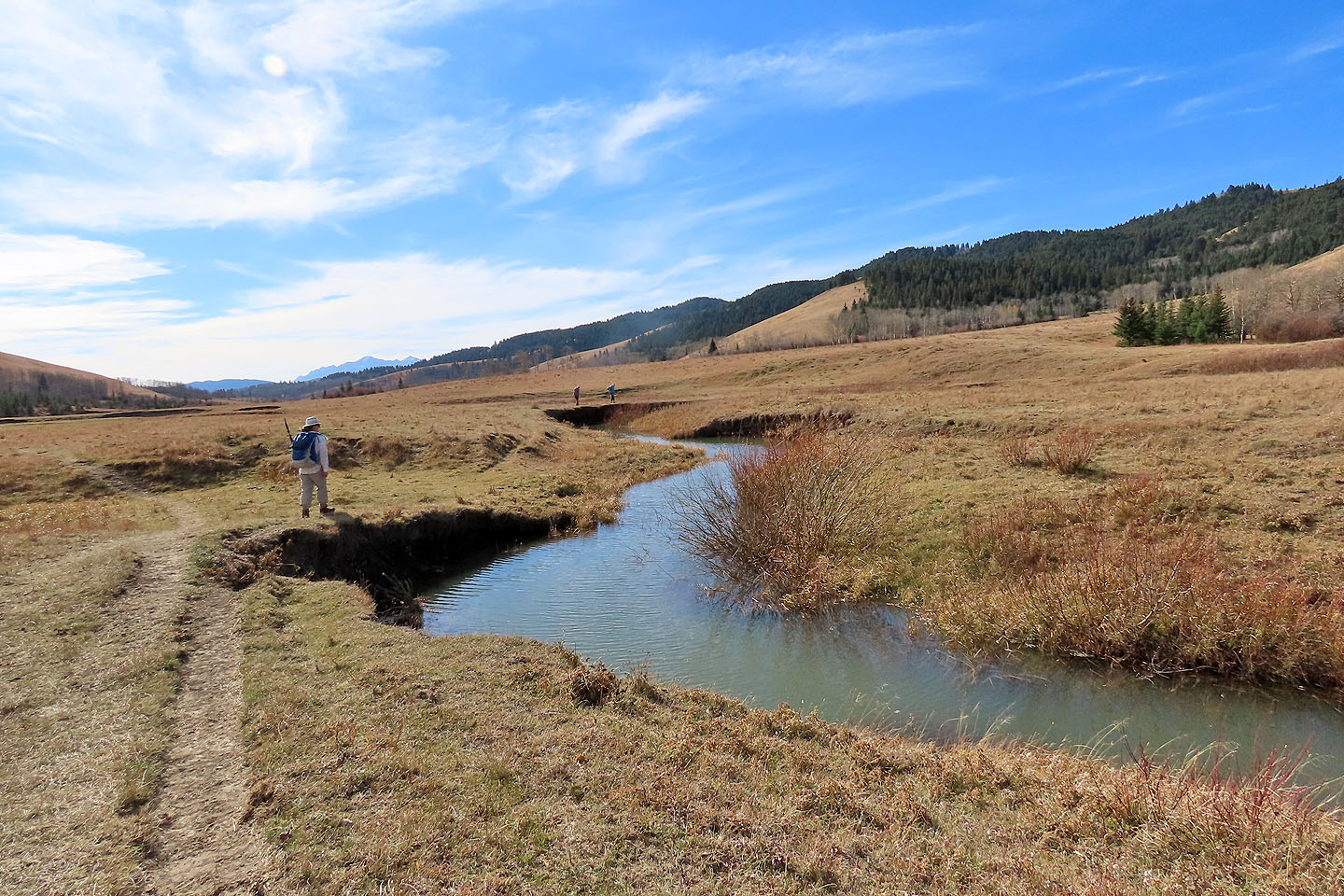
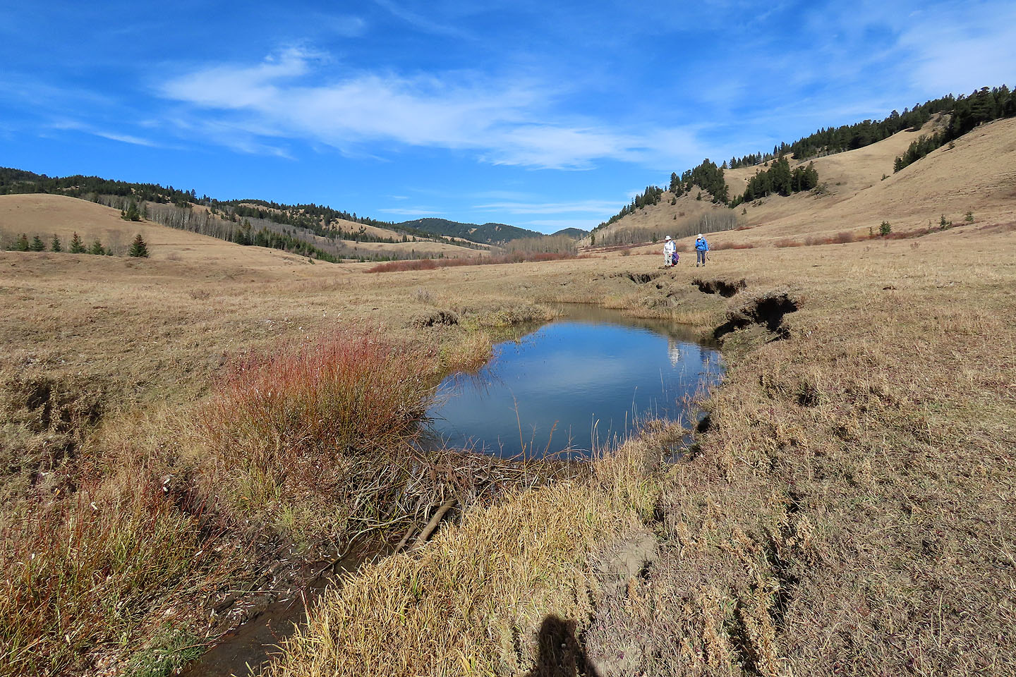
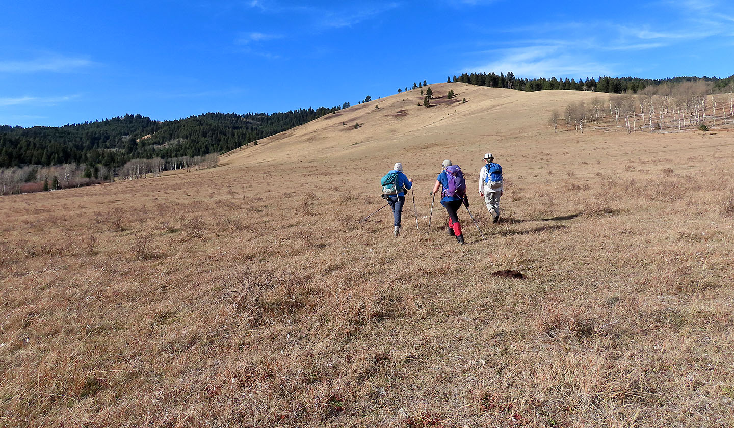
Taking advantage of meadows west of the summit of Beaverdam, we dropped down to the valley. After searching, we found a place to cross the creek and climbed Little Whaleback Ridge. We followed the ridge, sometimes through trees but mostly across meadows. We even passed cows grazing on the crest. The short ridgewalk added new scenery to our trip, but mostly it was a great day to be out and an interesting area to explore.
When we faced a wooded ridge crest ahead, we turned to the open slope on our left. We descended meadows and light woods before crossing Bob Creek to reach the trail. Walking down the trail, we soon encountered cattle. Most cows kept to the side of the trail, but many remained in front of us and we reluctantly herded them back to the trailhead. The lumbering animals were an unusual sight for a hike, but they added to the area's uniqueness.
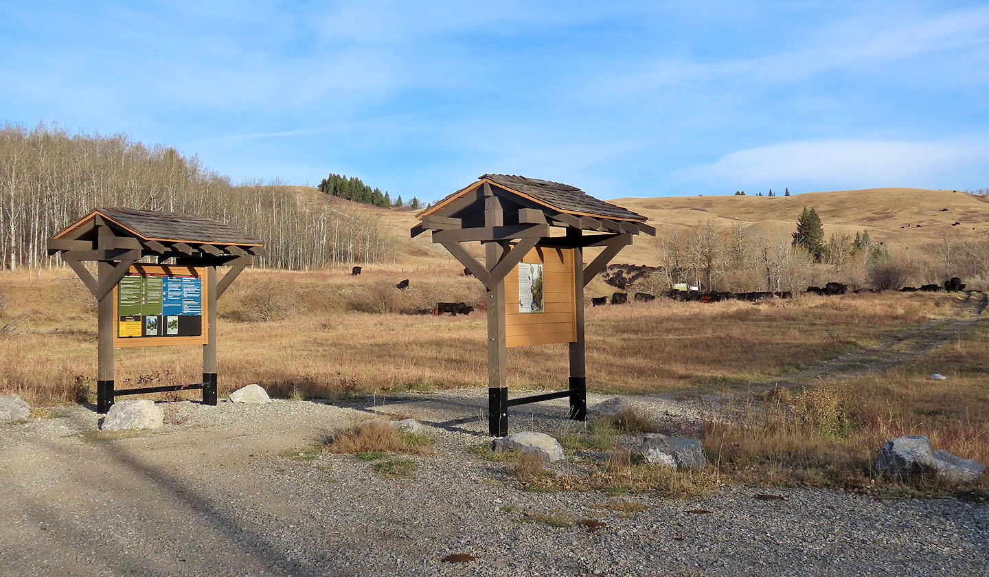
The trailhead
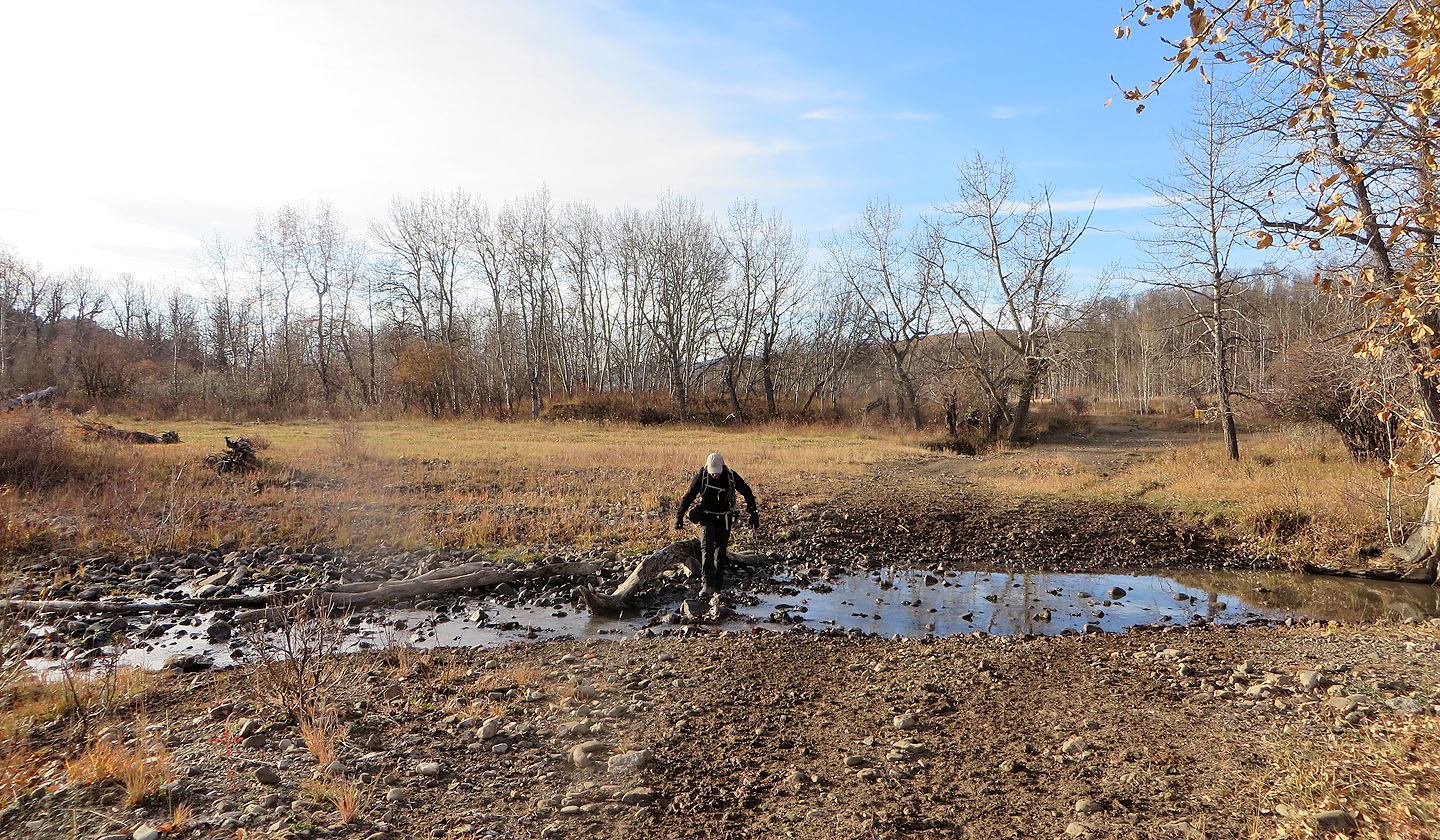
Less than 200 m from the trailhead, we crossed Bob Creek
Beaverdam Ridge lies ahead
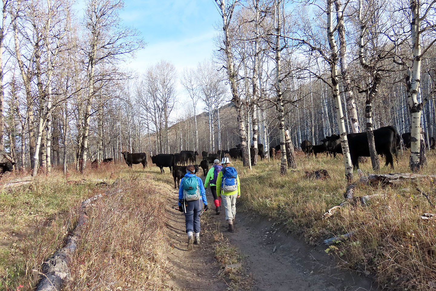
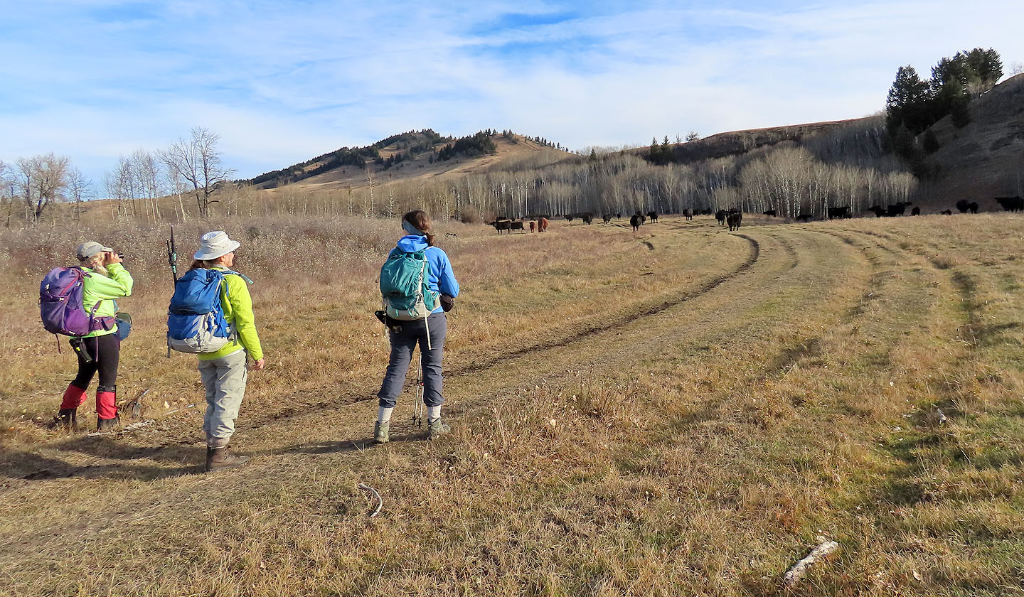
Cows were everywhere along the trail
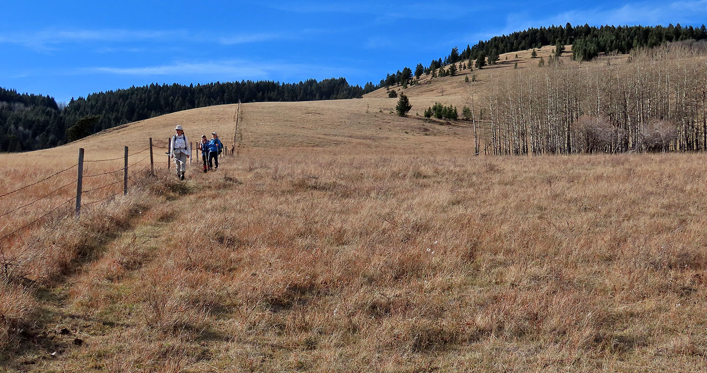
Starting up the ridge after leaving the trail
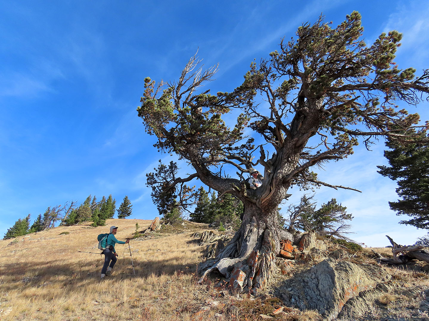
Zora climbed an old limber pine
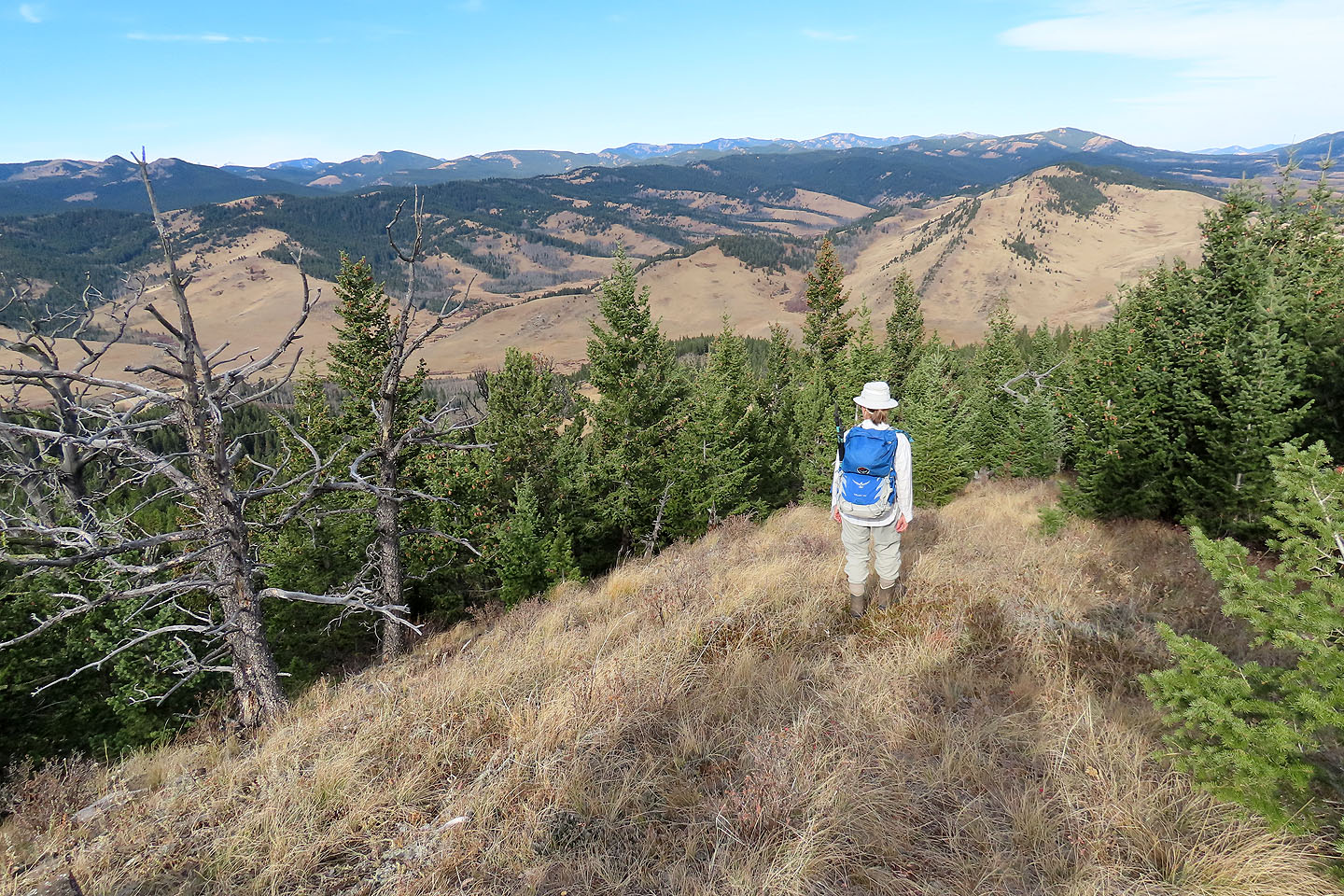
Looking back
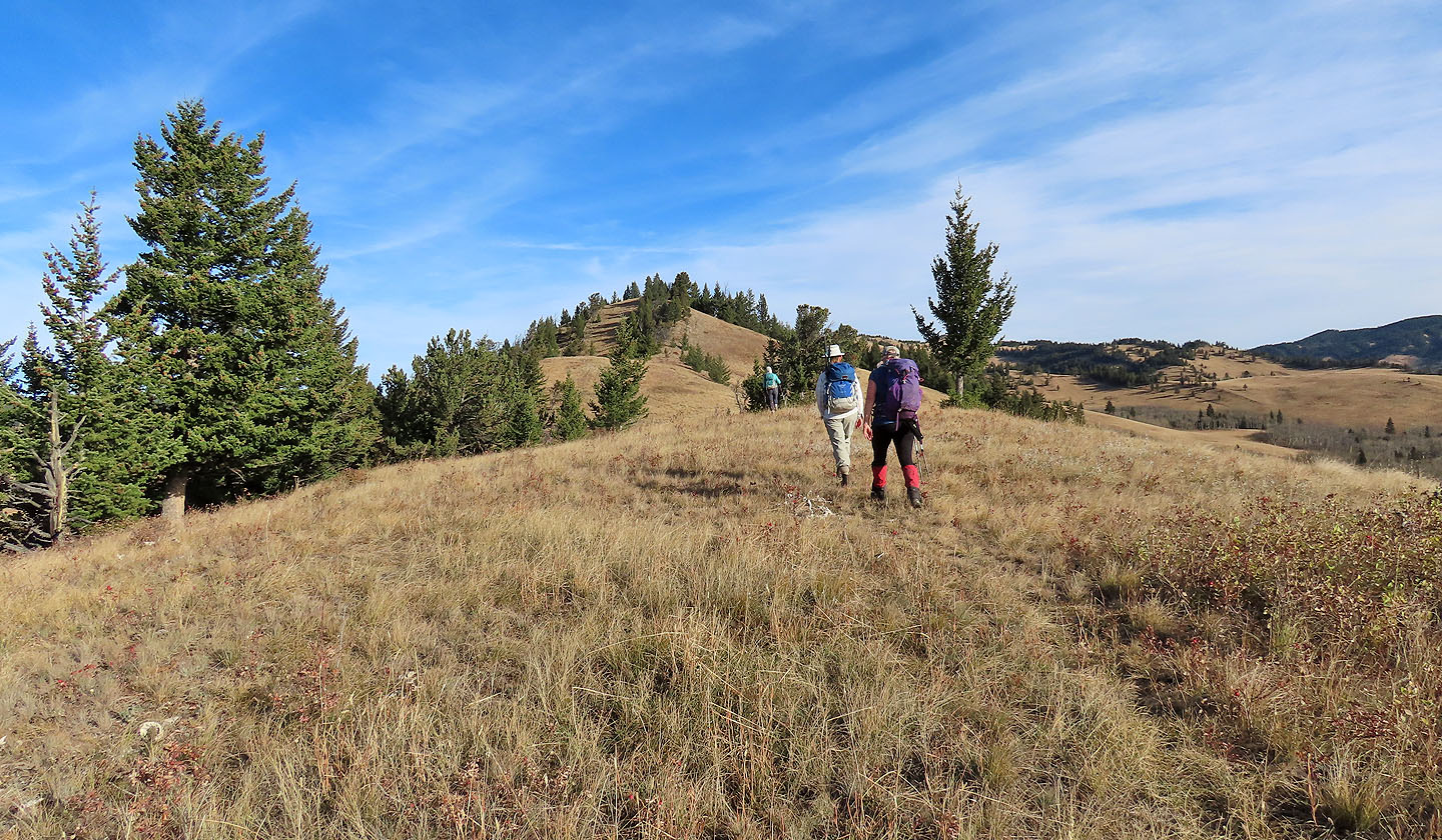
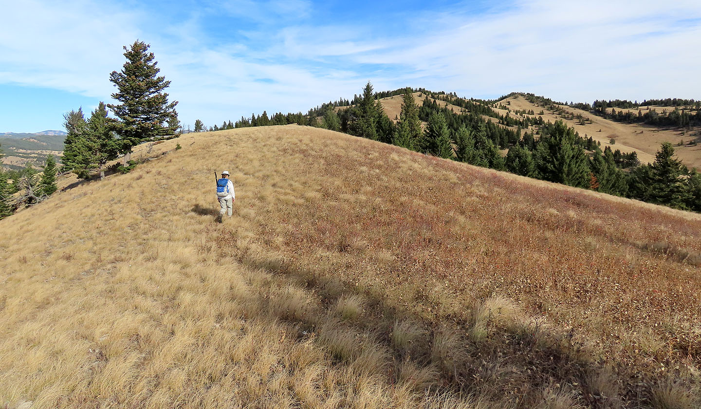
After reaching the crest, we were still 2 km from the summit
Looking west at Thrift Peak/Livingstone Lookout (mouse over)
We followed a faint trail
Looking back where the ridge takes a dip
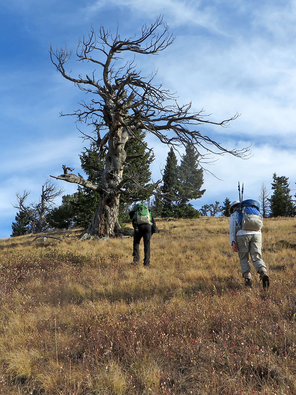
Coming up to a large, dead tree
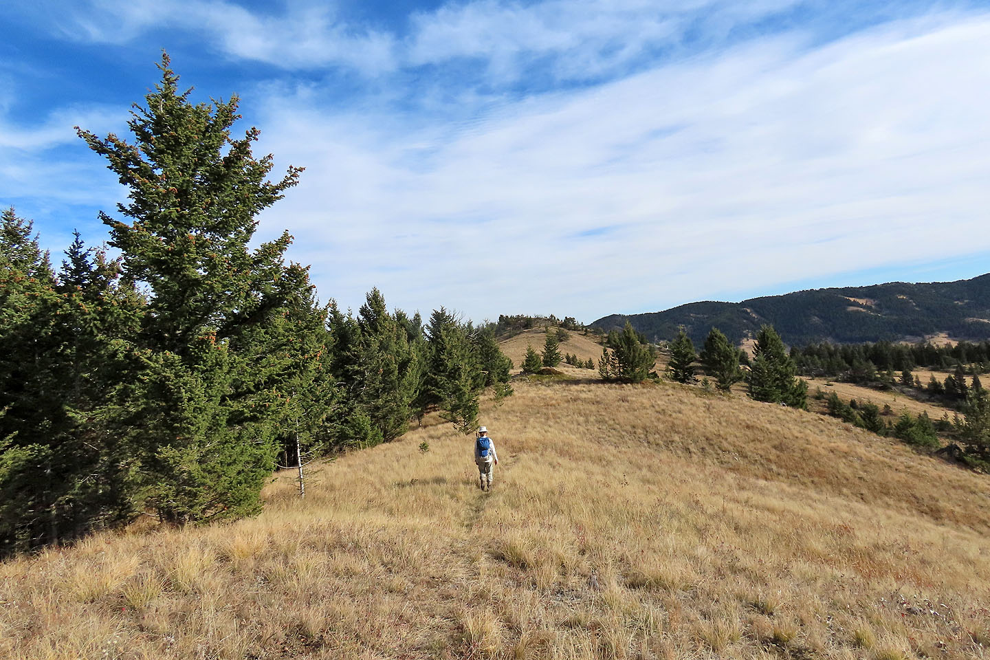
The summit came into view
Looking back as we neared the summit
The summit is straight ahead. Whaleback Ridge is right.
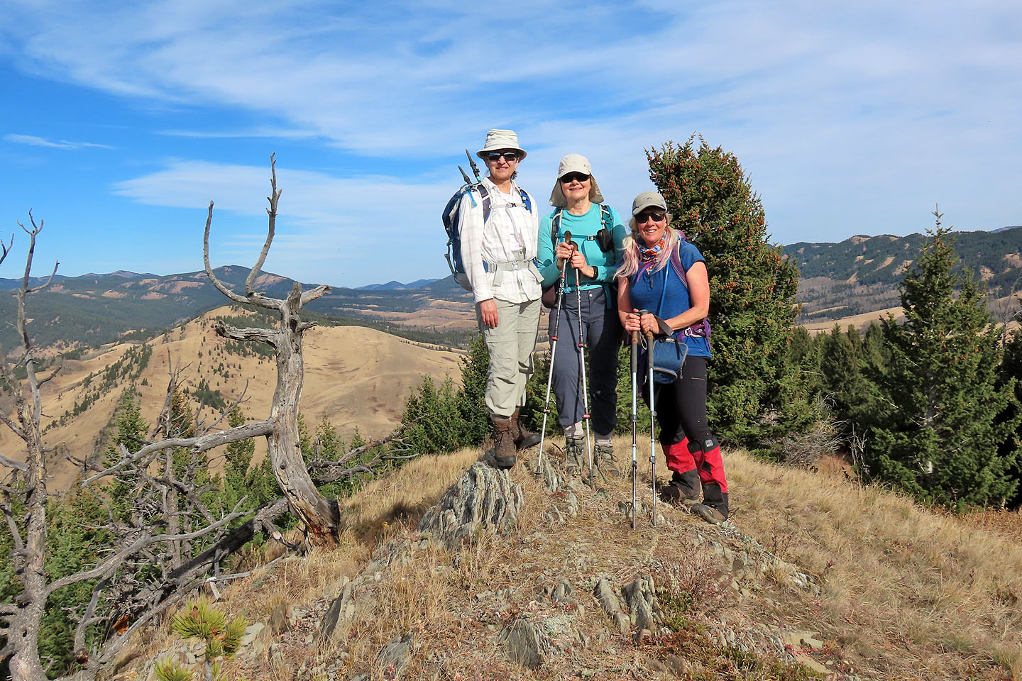
The girls gathered on the summit
 We hiked down the west side of the ridge
We would end up on the ridge on the other side of the valley
Looking back
We aimed for the open slope on the left
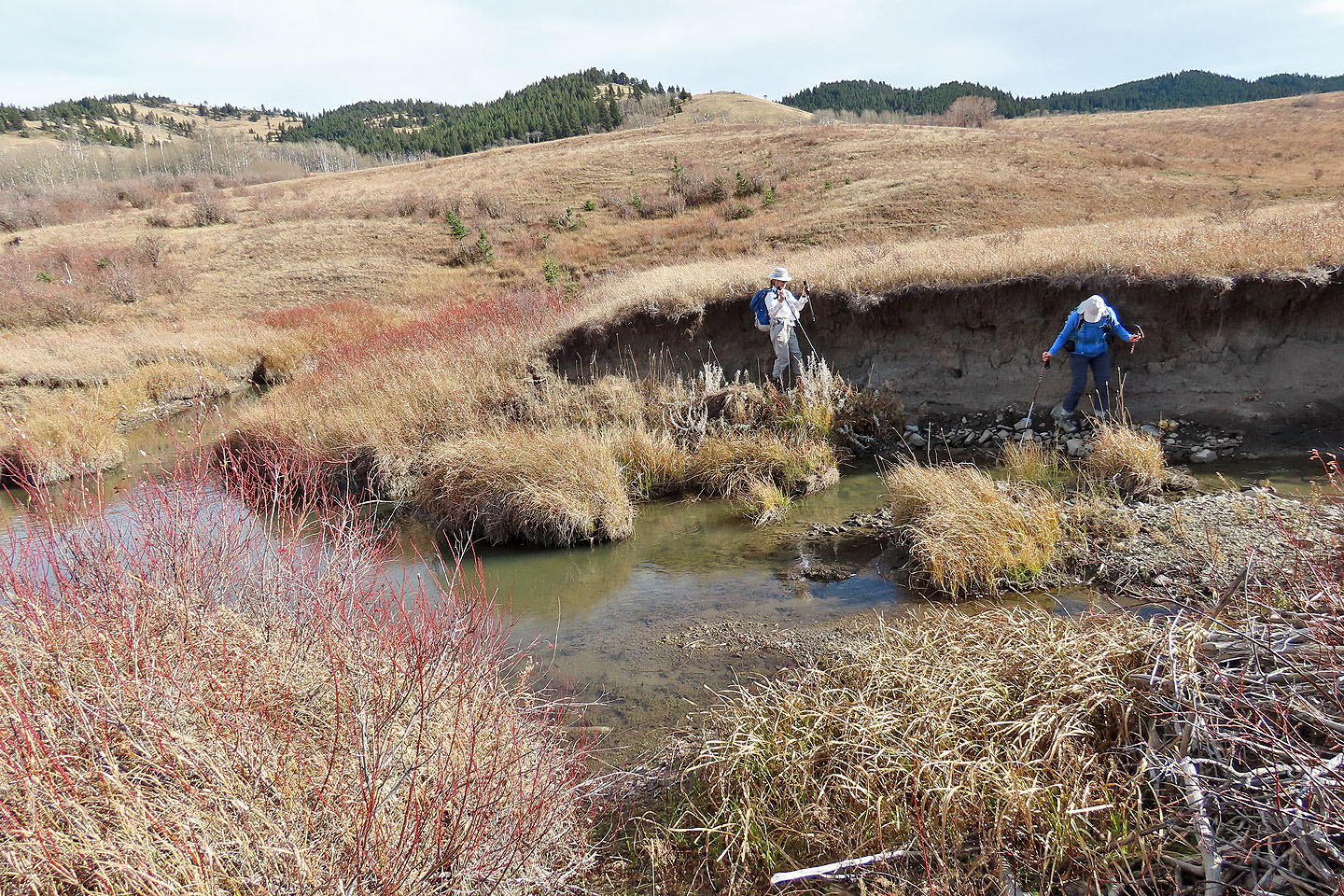
Looking for a place to cross Bob Creek
We crossed below a beaver dam
Starting up the slope
Looking back
The ridgetop is still some distance away
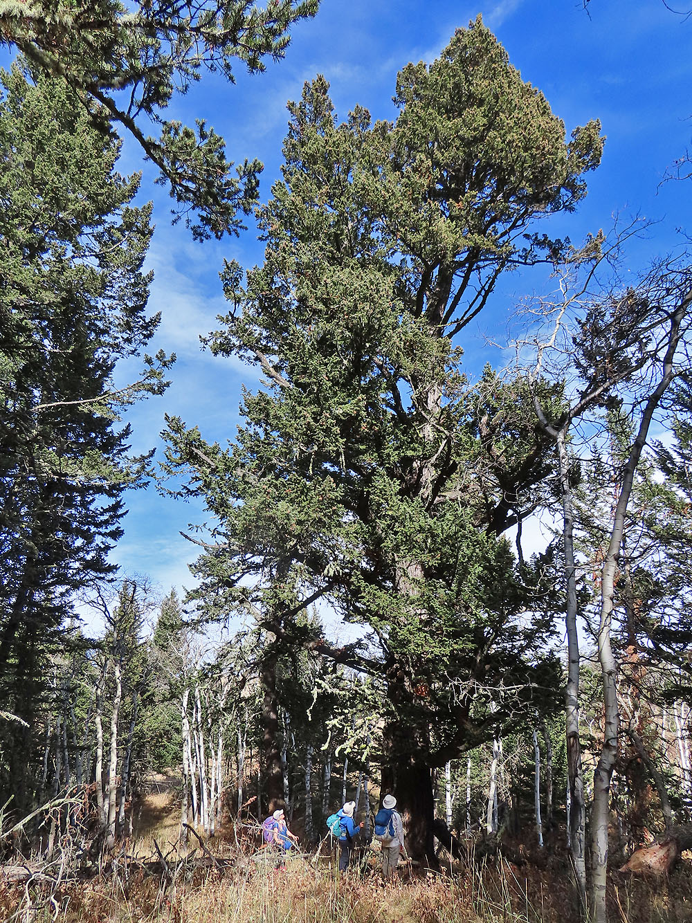
On the ridge we came across trees hundreds of years old
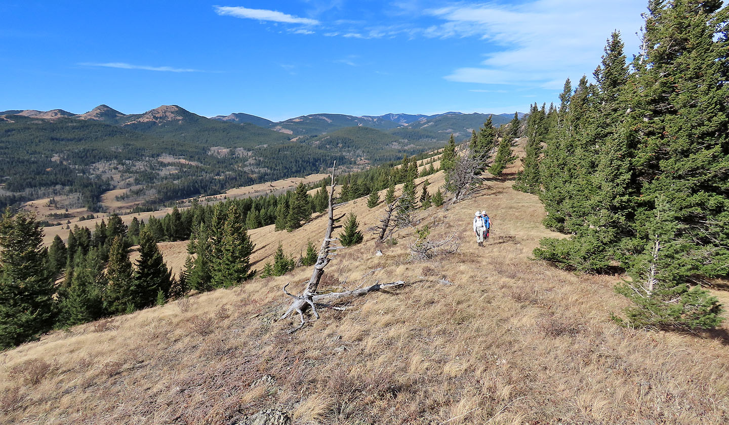
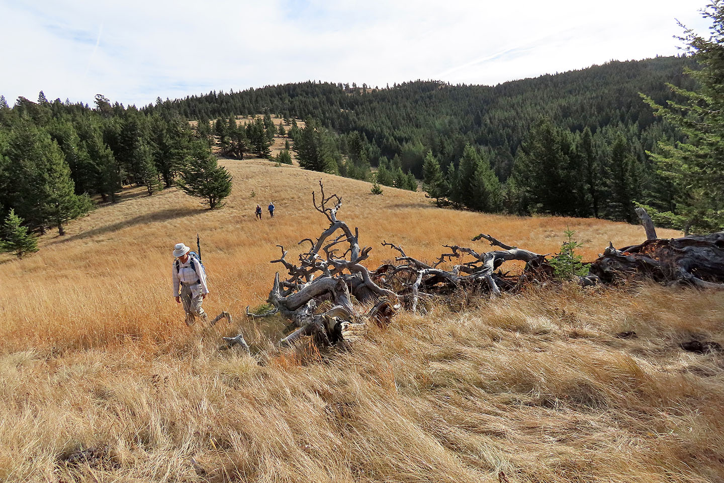
Continuing along the ridge
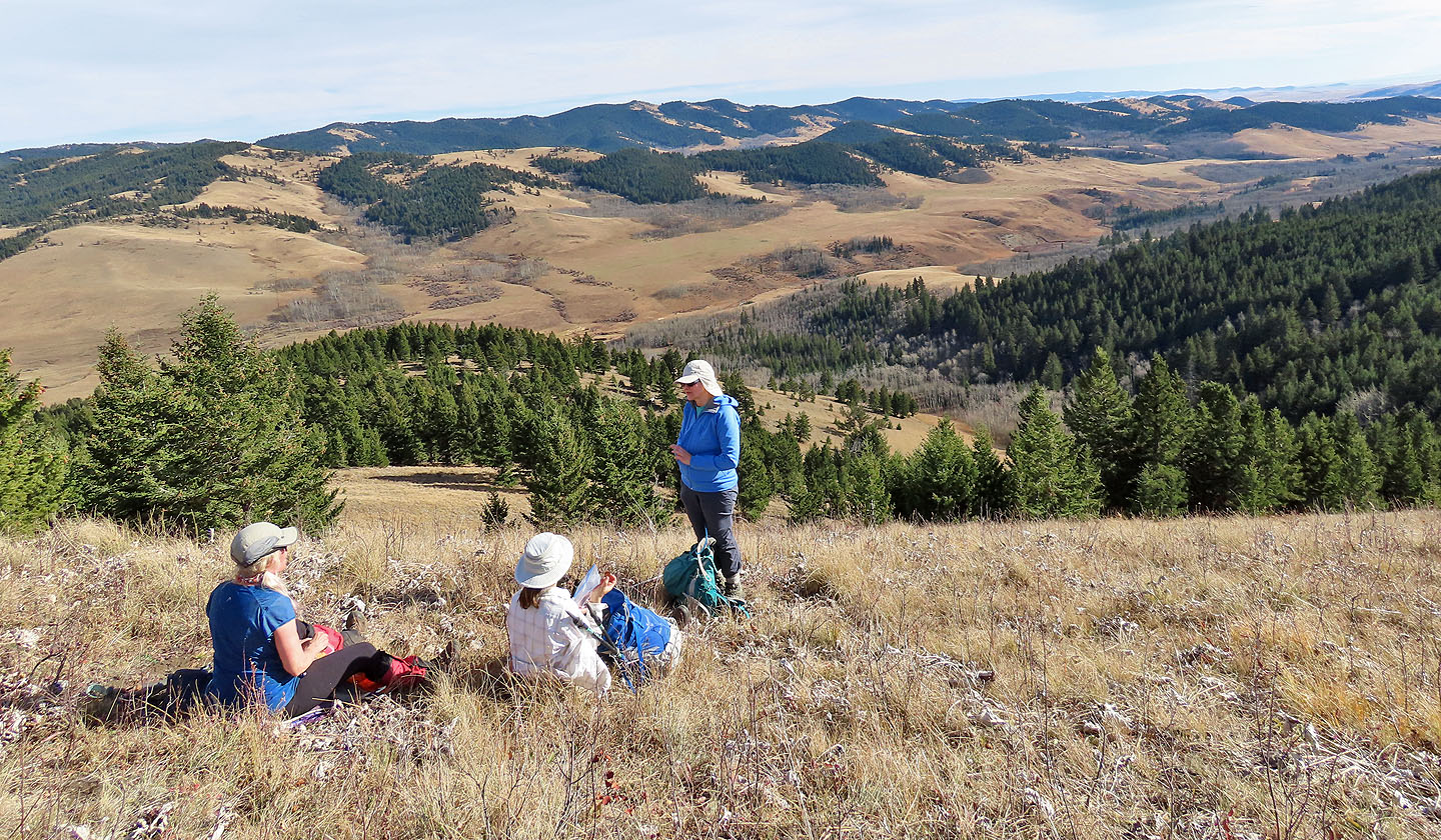
We took a break before descending to the valley
Looking back as we neared the bottom of the slope
Crossing Bob Creek a second time
Back on the trail
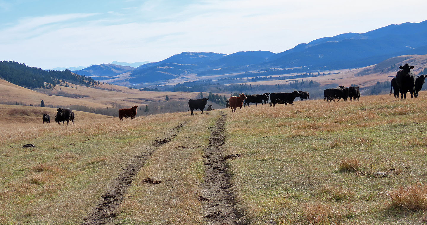
We faced a long walk back through herds of cattle
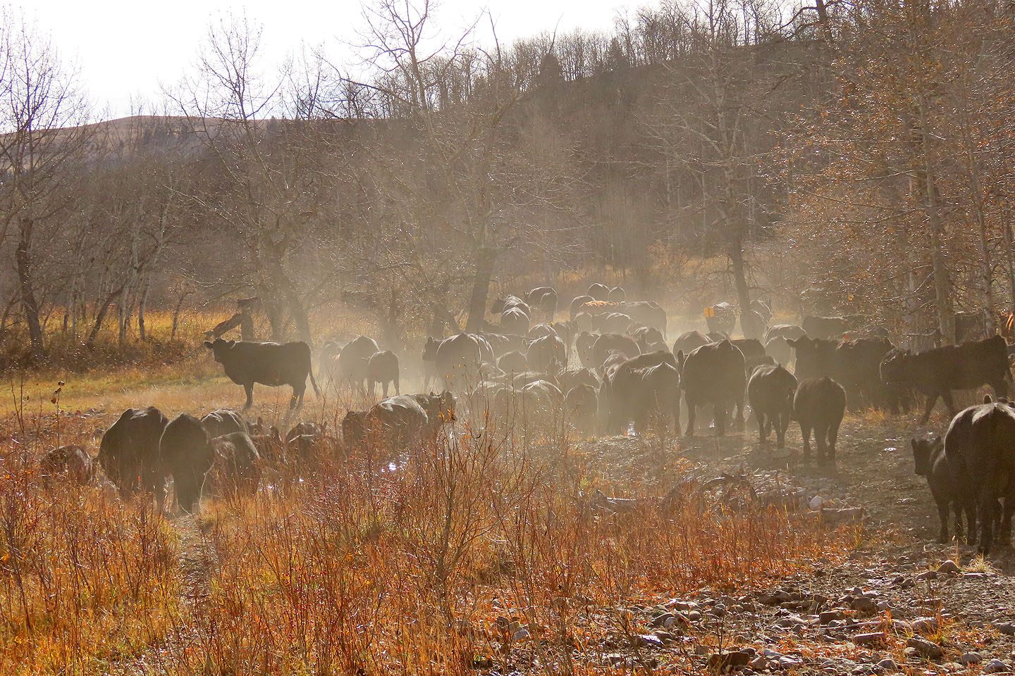
Cows kicked up dust as they fled in front of us
82 G/16 Maycroft