bobspirko.ca | Home | Canada Trips | US Trips | Hiking | Snowshoeing | MAP | About
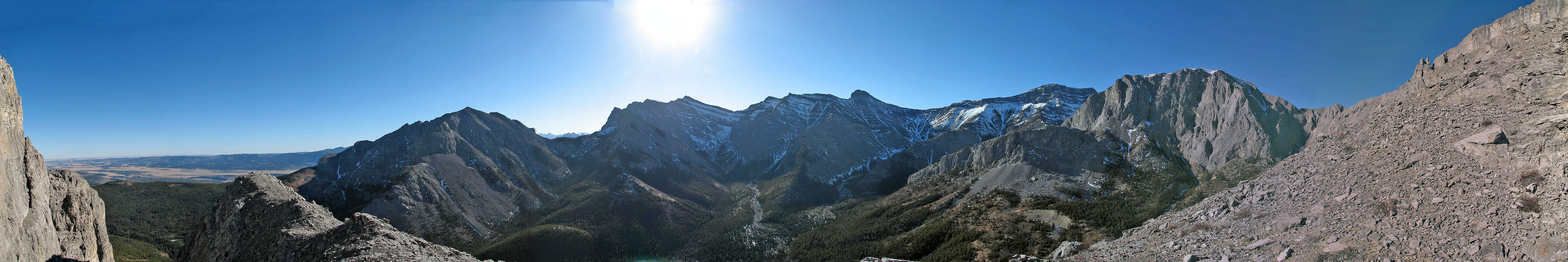
Panorama from our highest point
East
Peak of Wendell (attempt)
Kananaskis, Alberta
February 11, 2006
Having climbed Mount Yamnuska several times, I've always been curious about the unnamed peak north of it, extending east from Wendell Mountain.
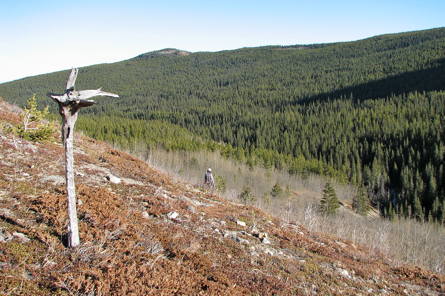
I was fascinated by the enormous cliffs and deep canyons on its south face and wondered if one of those canyons could be a gateway to the summit. The best way to find out was to go there.Dinah and I took the trail to the east ridge of Mount Yamnuska and turned onto the horse trail that drops down into the CMC Valley, losing 150 m of elevation in the process. At first the trail was fine, but lower down it was deeply eroded and overgrown. Eventually we crossed the valley-bottom stream and came to a road.
After crossing the road, we hiked up a wooded slope on the other side until we arrived at the base of the cliffs, about two hours after setting out. We hiked along the base and explored every canyon as a potential access to the summit of the East Peak of Wendell.
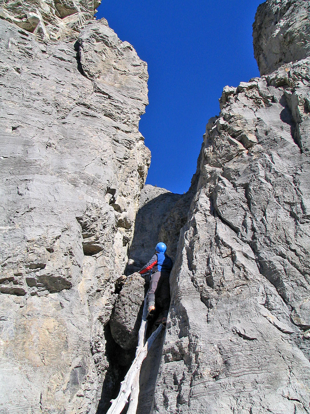
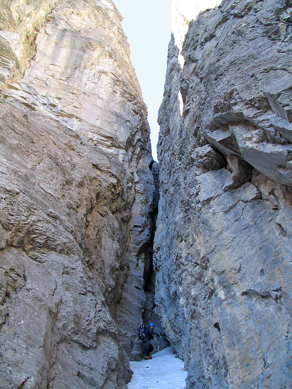
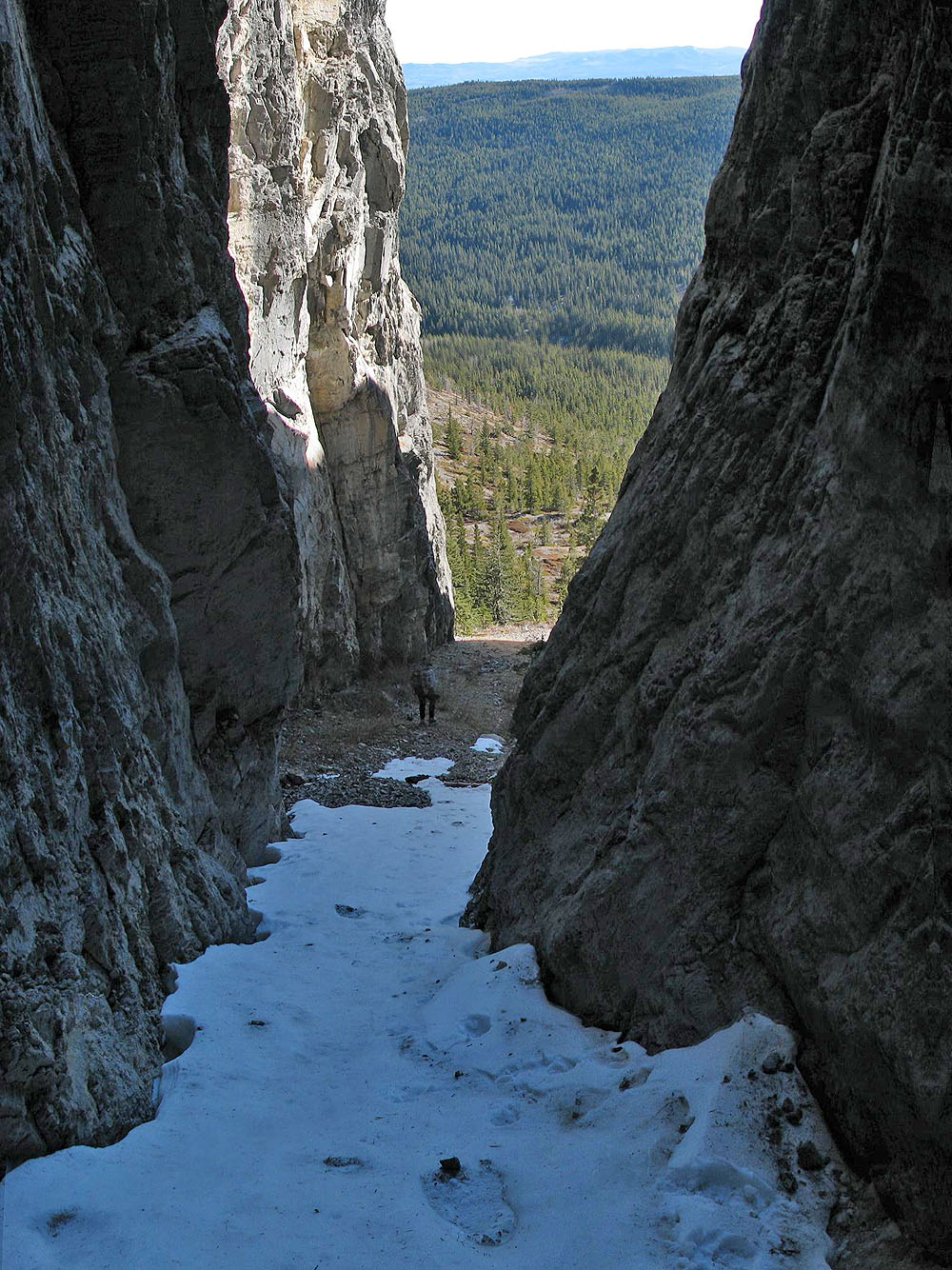
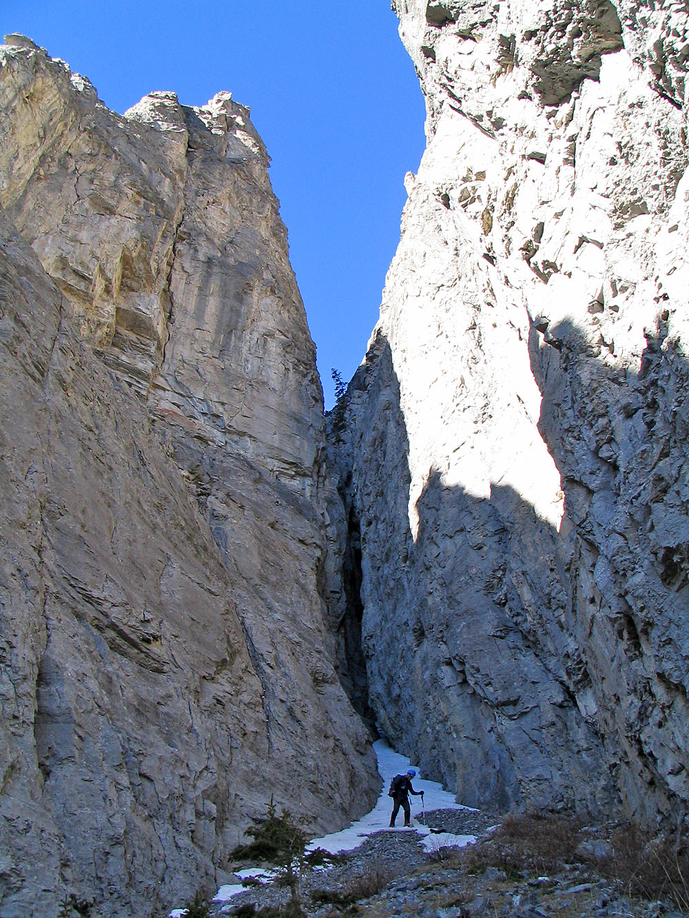
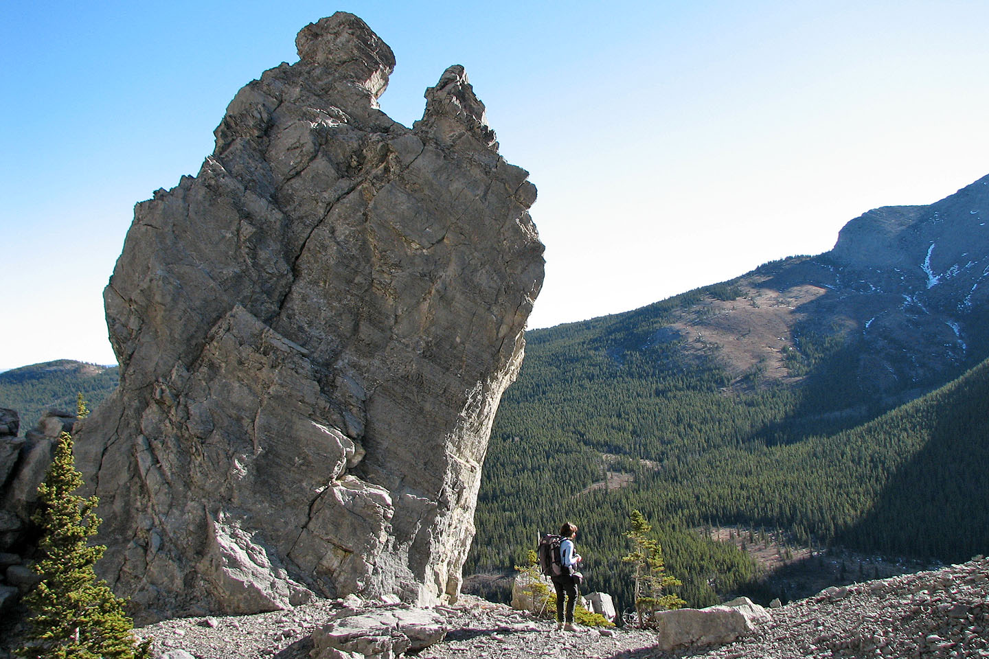
We reached a dead end – vertical walls – in all but one of the canyons. We couldn't explore this canyon, as it was several meters above the floor of the valley. The rock was too smooth to scramble up, but two logs leaned against it, and I was able to climb high enough to peer into it.
The canyon floor was nearly level, but a bend prevented me from seeing very far up it. Without being able to explore it on foot, there was no way of knowing if this too was another dead end. But it looked promising: the walls of this canyon weren't as high as the others. The floor was filled with loose rocks; there was nothing for me to grab onto to hoist myself up over the edge. And there was no way to climb back down even if I could get up. Indeed, when I started back down, I lost my footing and found myself hanging from the edge of the canyon with both hands! After a few seconds of fishing around, my foot found a slight bump on a log that allowed me to resume climbing down.
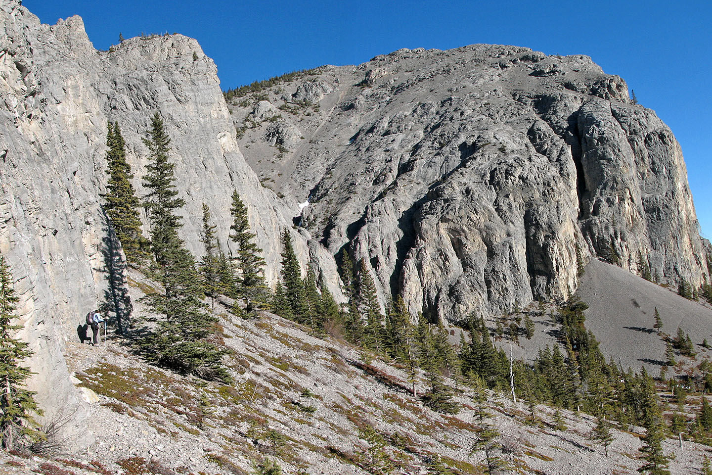
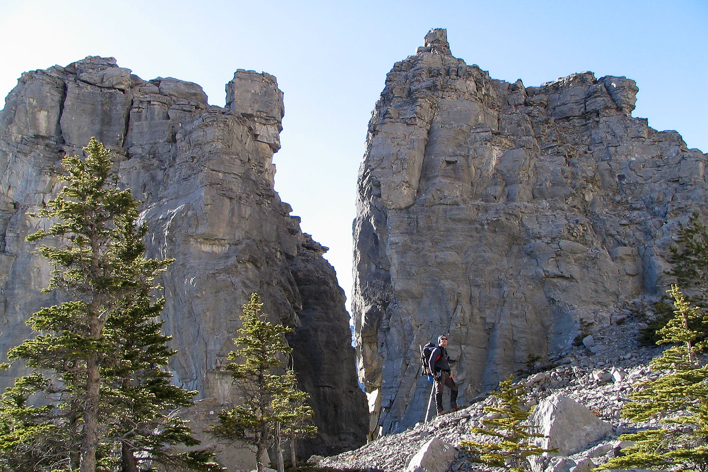
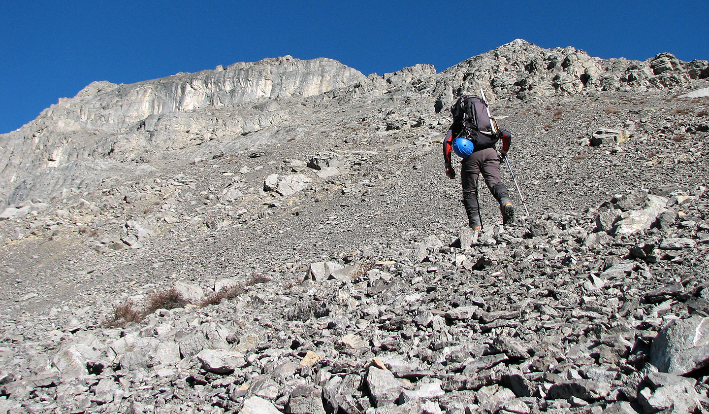
With the canyons explored to the best of our ability, we continued following the base of the cliffs to see if we could summit using the west slope past the cliffs. With cliffs towering over our heads and the slope sprouting pinnacles here and there, it was a scenic hike. Although we traversed along a scree slope, the goat track we took was as good as any man-made trail. We also had the benefit of spring-like weather and had shed our gloves, jackets and hats.
Two weeks earlier, I had studied the west slope from the northeast ridge of Goat Mountain; it didn't look promising. There seemed to be a lot of steep rock. But again, the best way to find out was to try it.
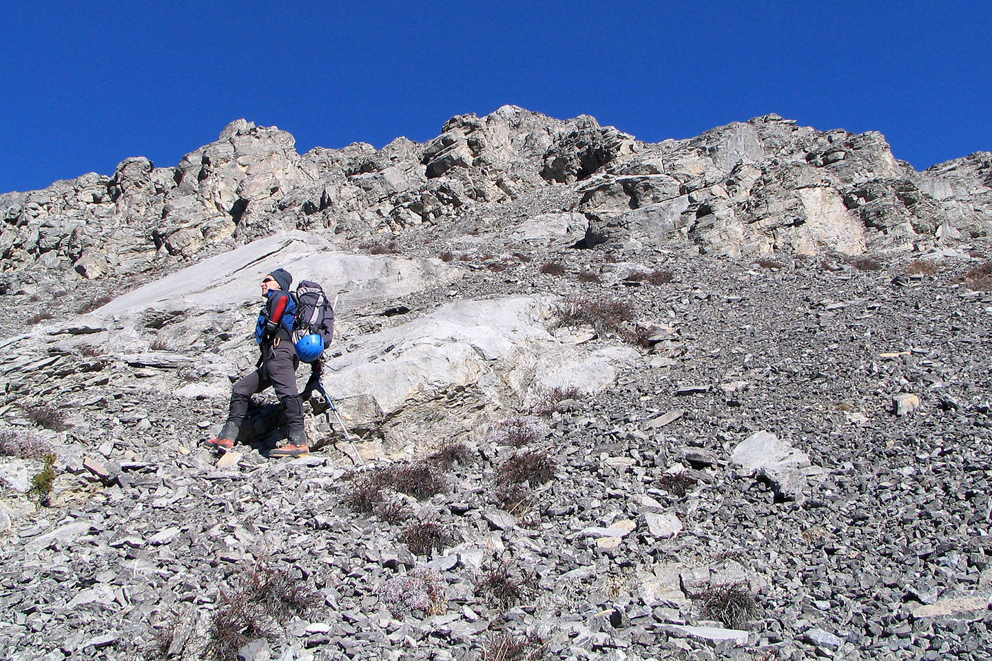
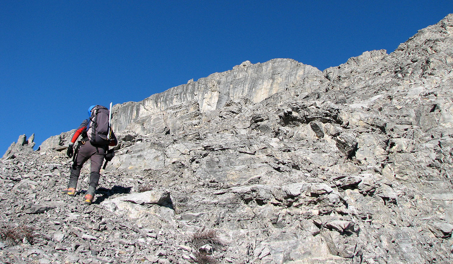
We had to avoid slabs on the lower slopes, but eventually we were able to scramble up until we were above them. Ahead lay a complex landscape of rock, but we scrambled up and were soon on easier terrain.
As is typical for our winter forays, Dinah took her winter hiking boots. Although they offer insulation against the cold, they have no shank and provide no support on loose rock. The prolonged off-trail endeavour was causing her grief, every step painful. But who would have thought it would be this warm and dry in the mountains in the middle of winter?
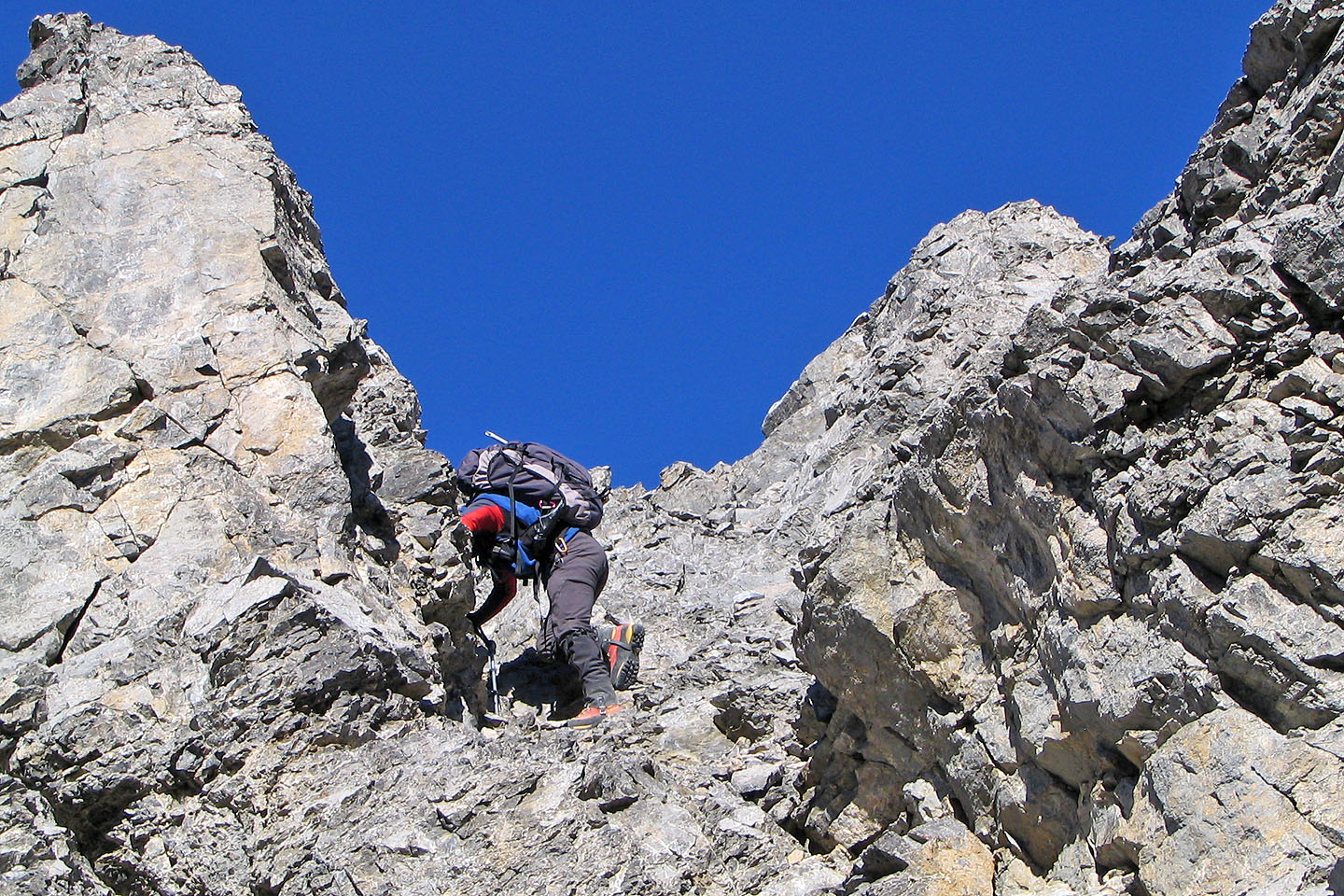
Reluctantly, we had to turn back about 300 m short of the summit. But from as far as we got, it looked possible to continue, at least for a short way. The best way to find out is to come back!
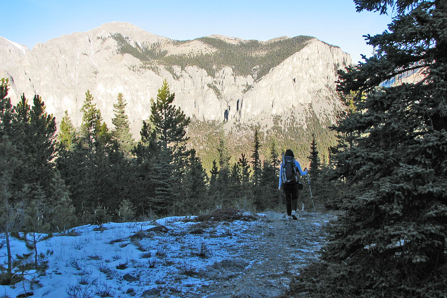
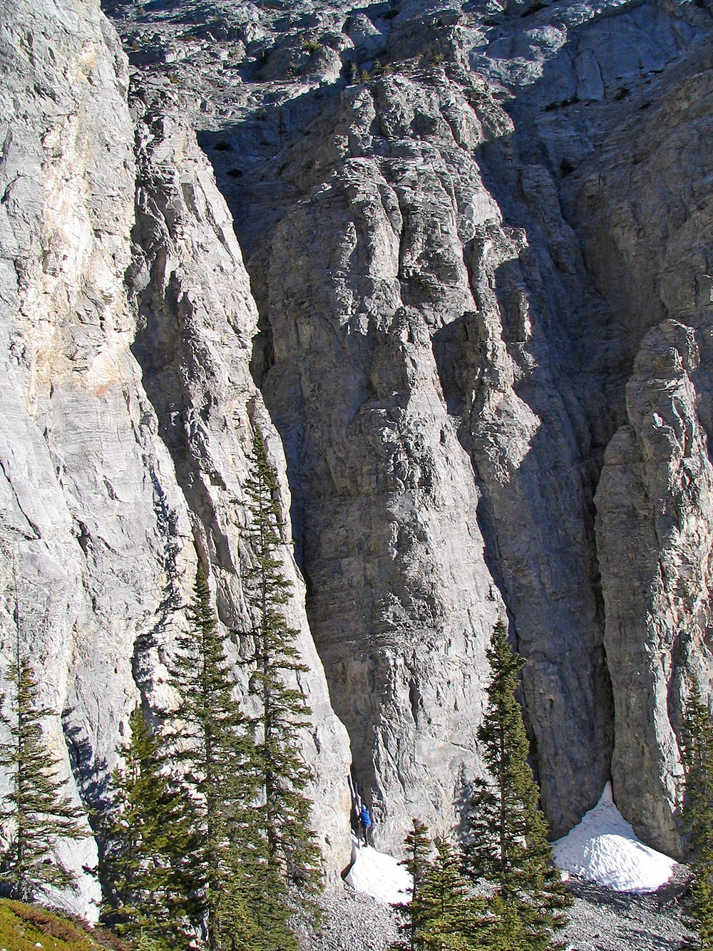
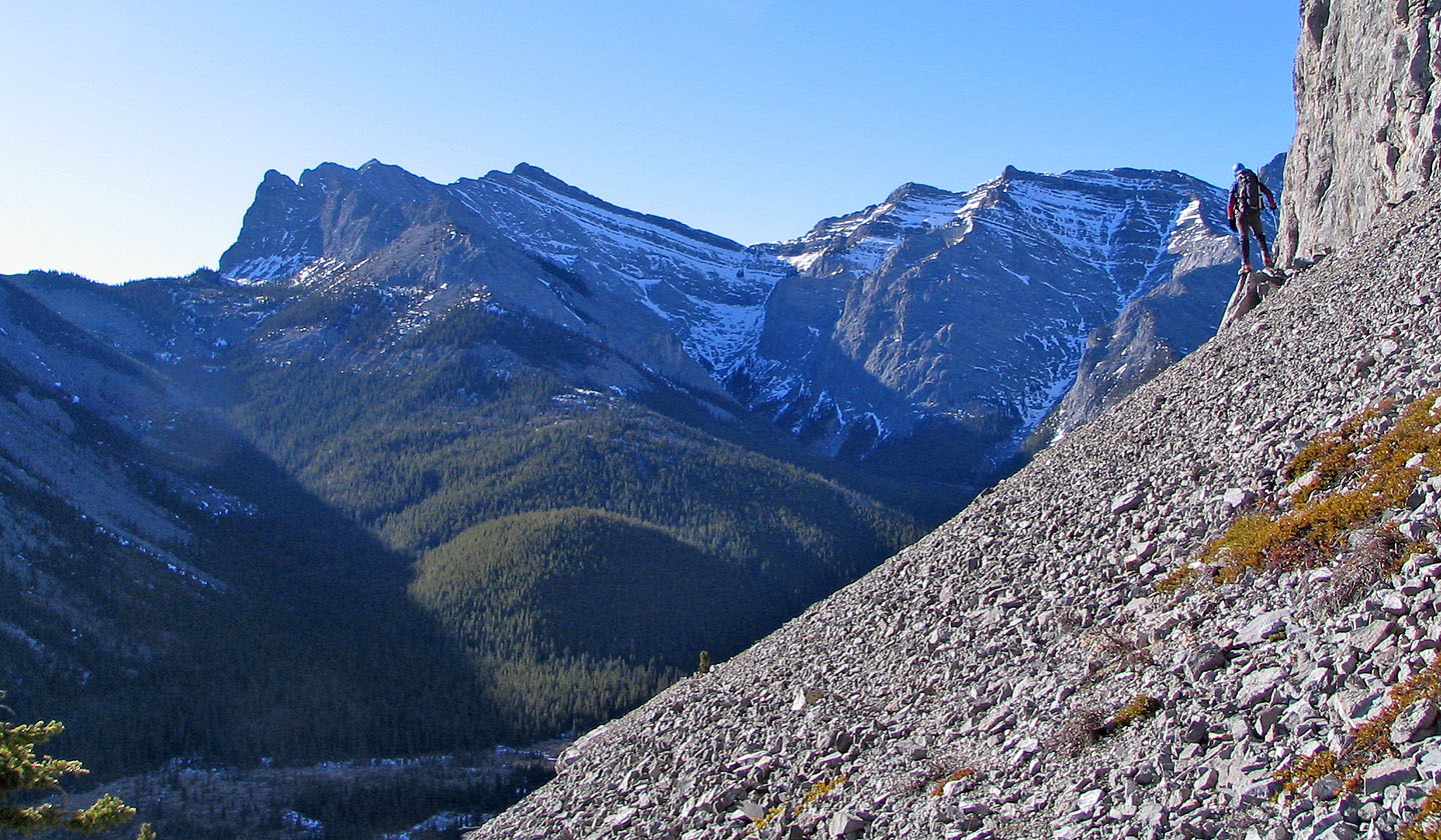
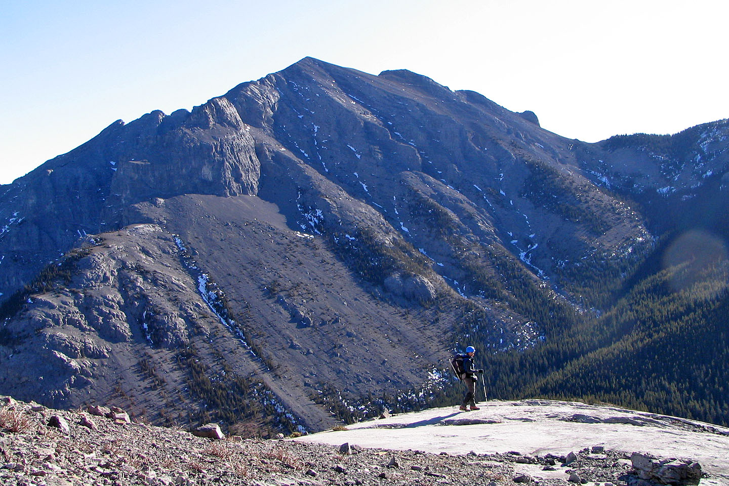
View of the East Peak from the horse trail. Canyon complex is right of centre.
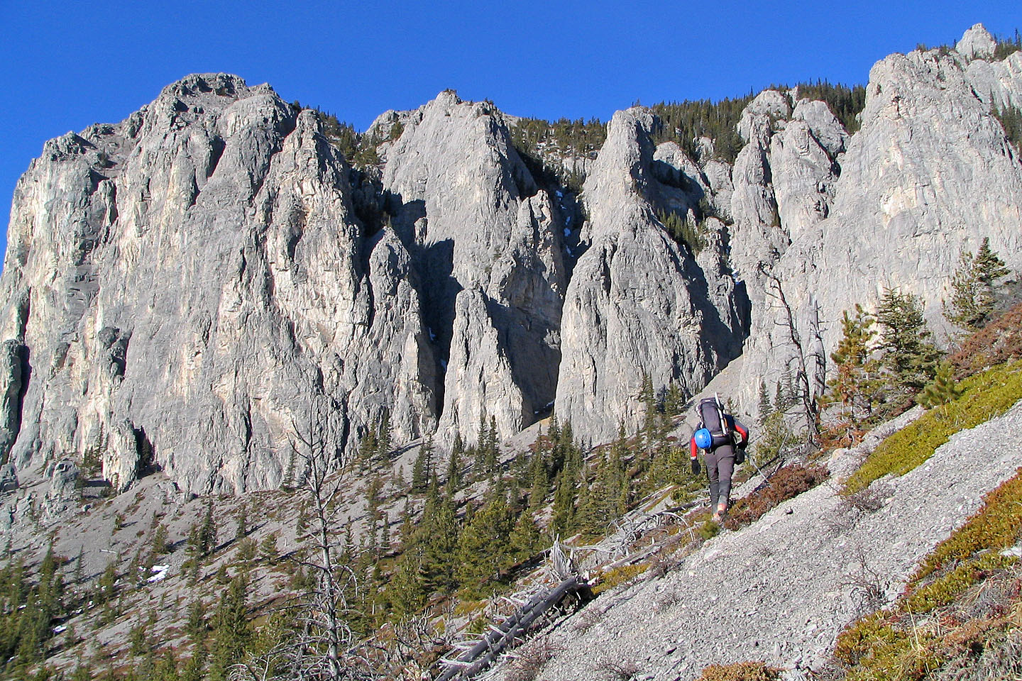
Coming up the base of the cliff and the canyon complex
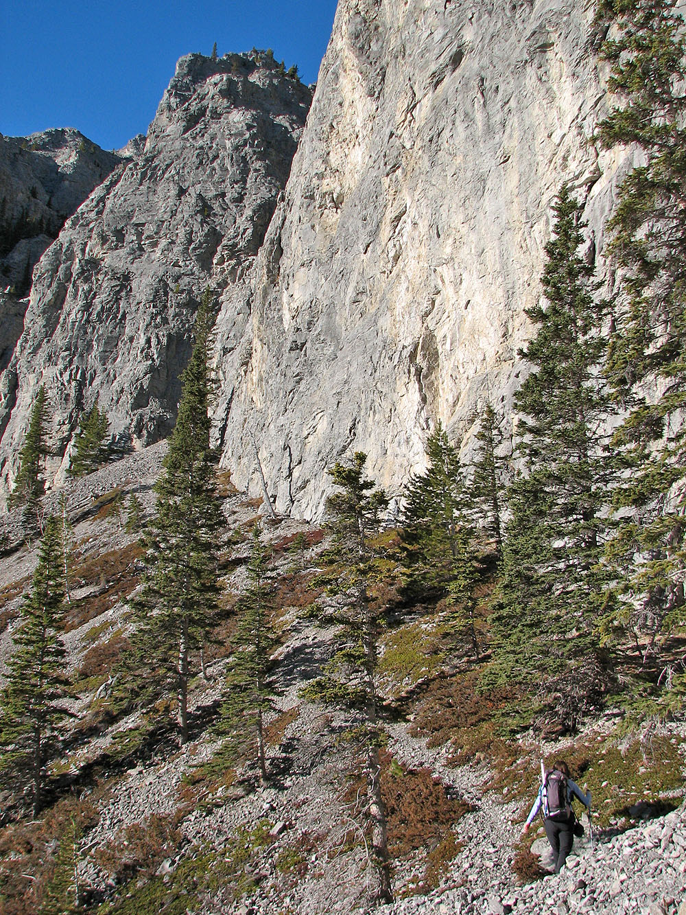
Heading to the first canyon
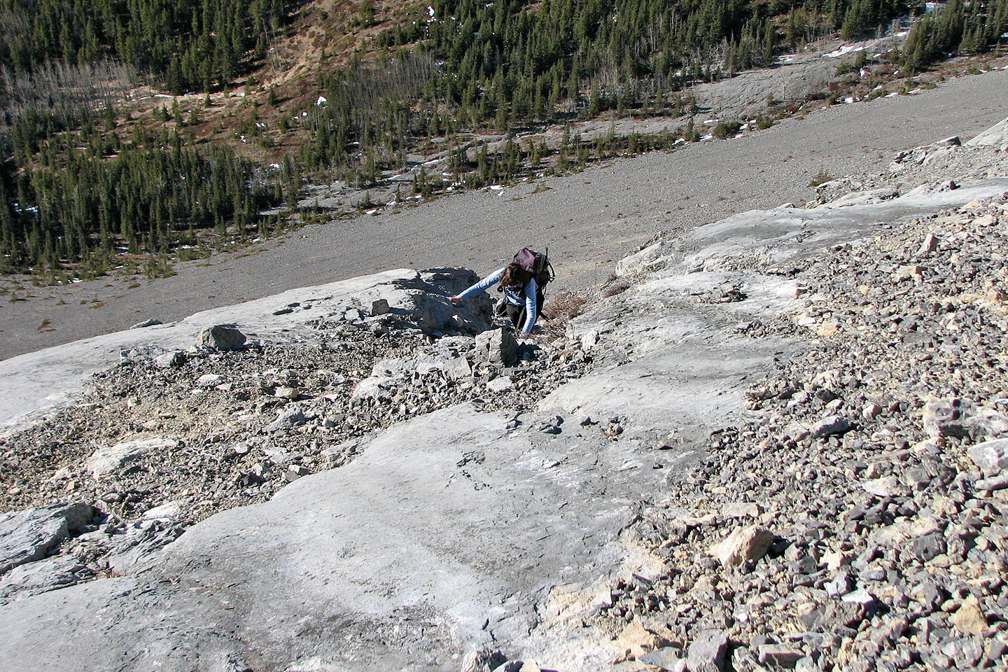
At the first canyon, I tried climbing up the logs
Peering into the canyon (mouse over
to see what I saw)
On to the next canyon which was ...
... a dead end
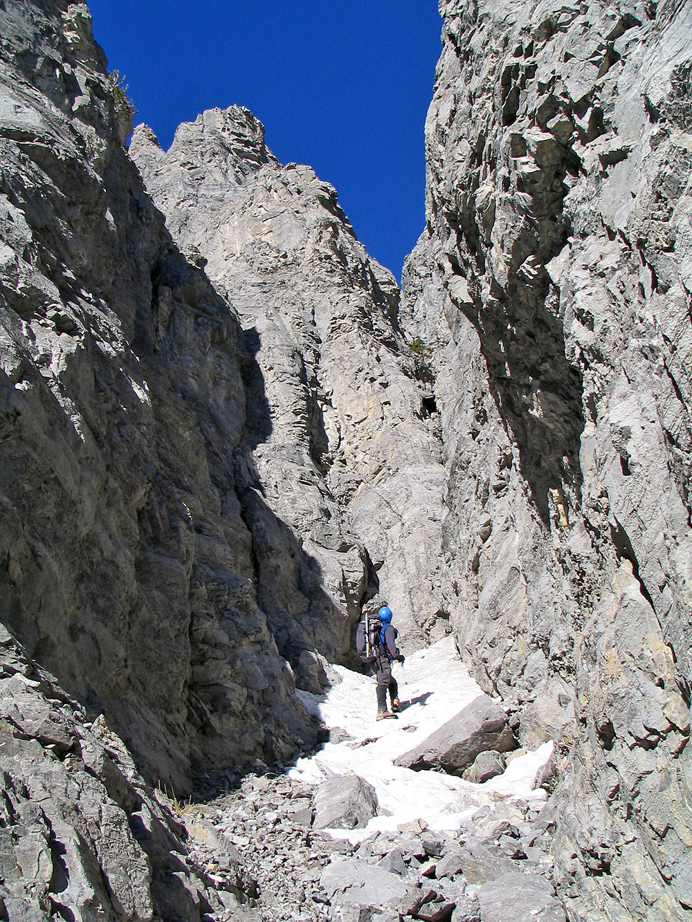
At the end of another canyon
A panorama of the same canyon. Dinah is just past the snow.
Coming out of the same canyon
 Leaving the canyon complex: the canyon with the logs is at the bottom of
the
"V"
Leaving the canyon complex: the canyon with the logs is at the bottom of
the
"V"
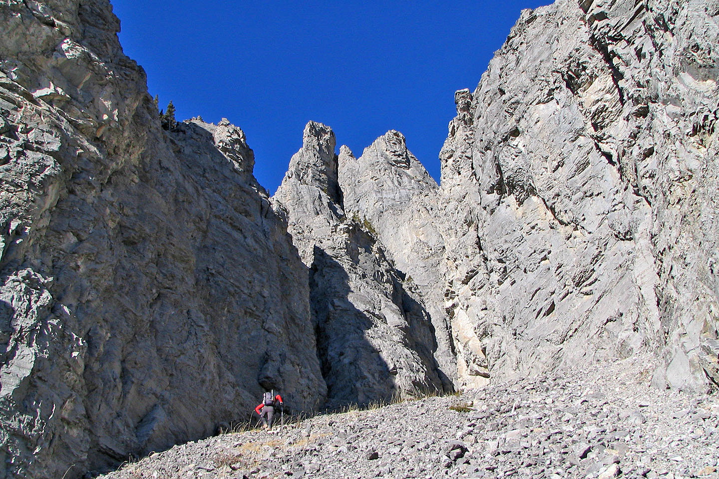
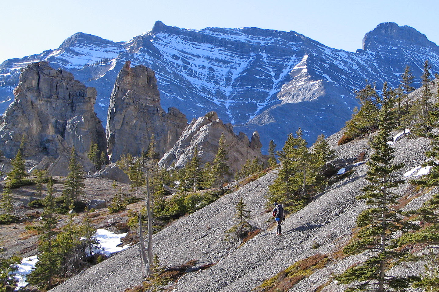
The view ahead of us: Goat Mountain is on the left
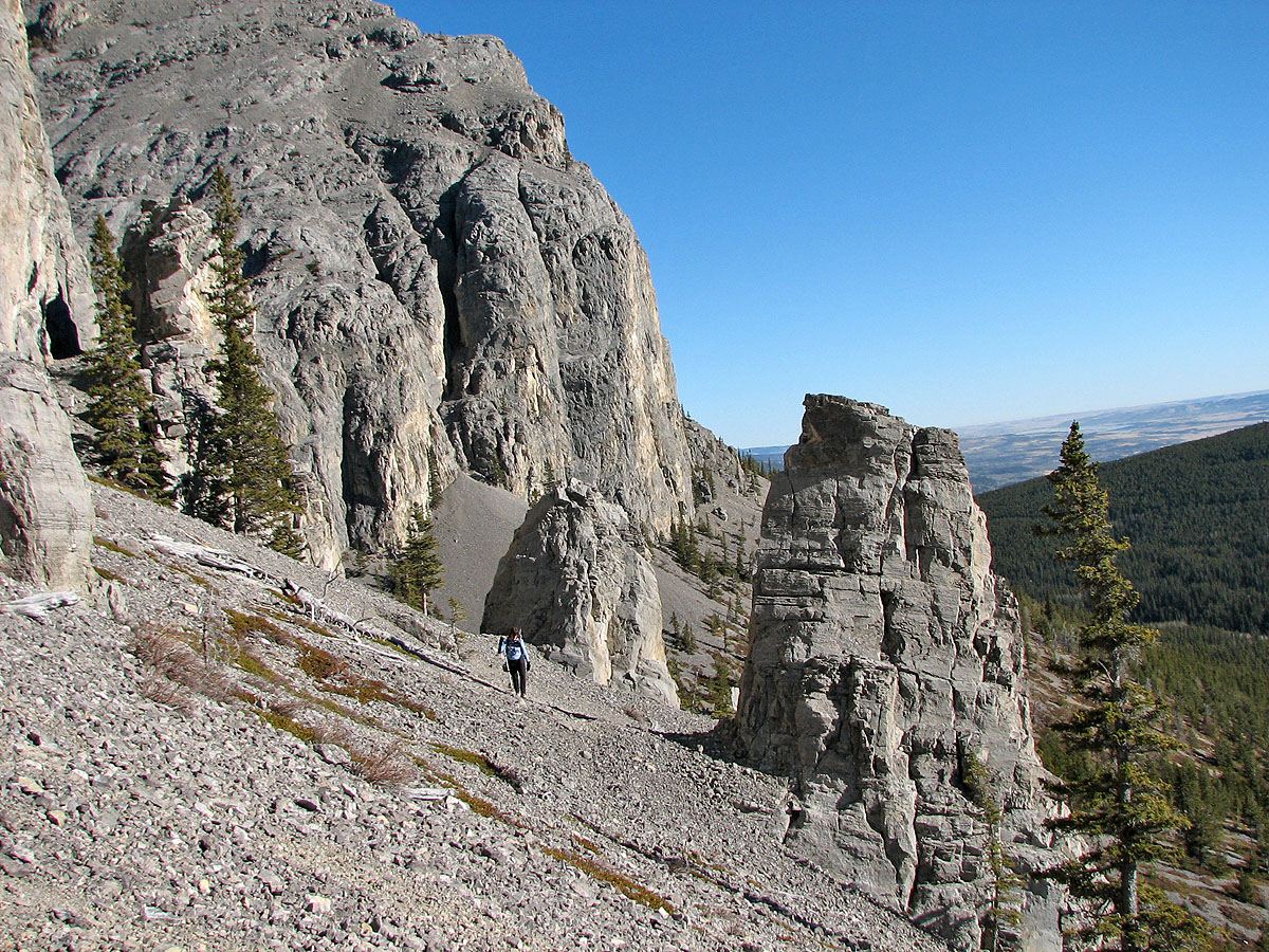
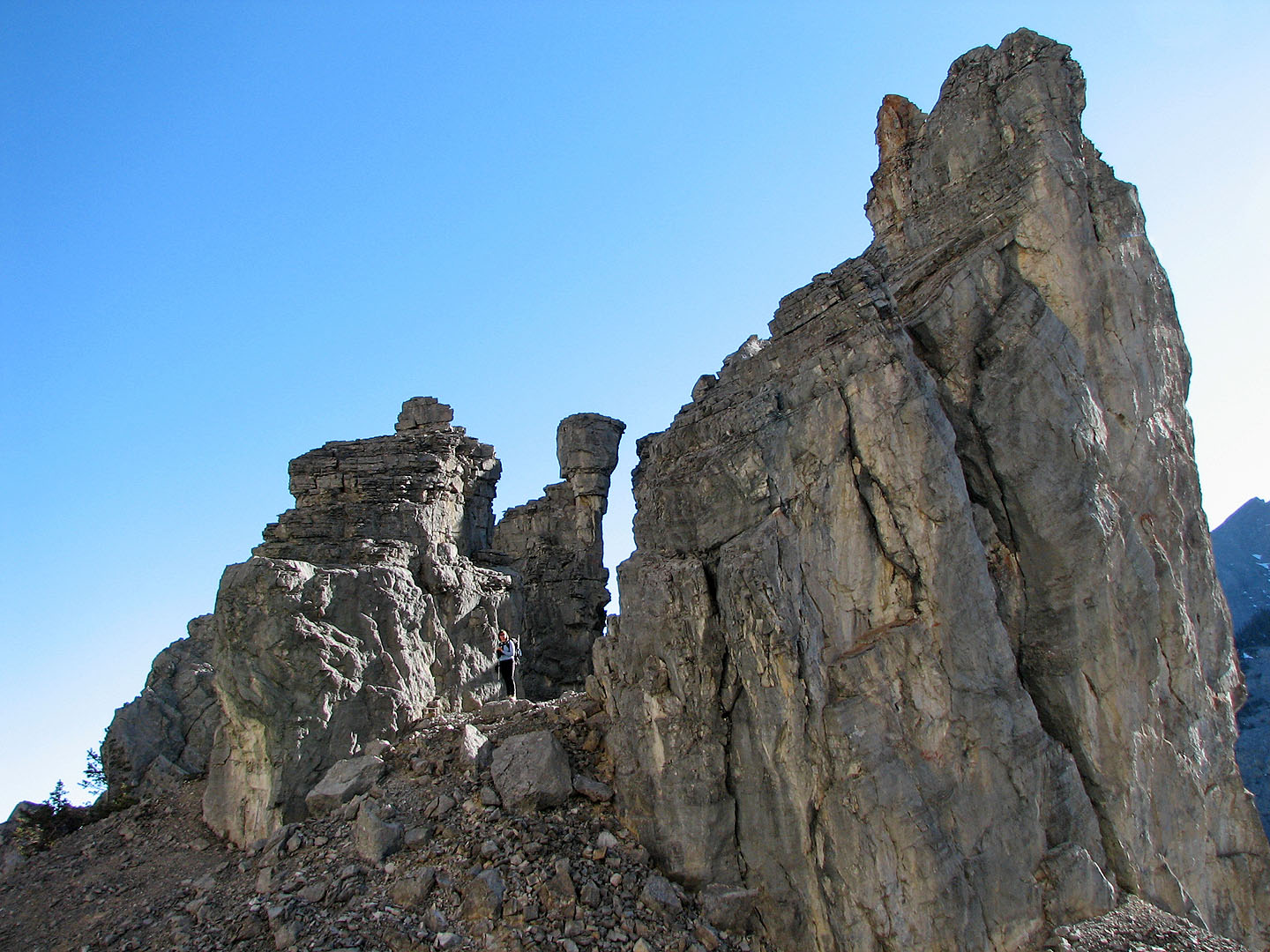
Some pinnacles (click for a larger image)
Coming up to more pinnacles
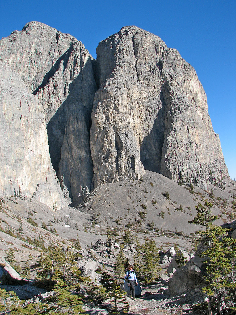
Looking back, the last canyon we checked
is on the left
Looking at the east ridge of Yam
It was easier to go through the pinnacles then around them
A precarious pinnacle rises behind Dinah
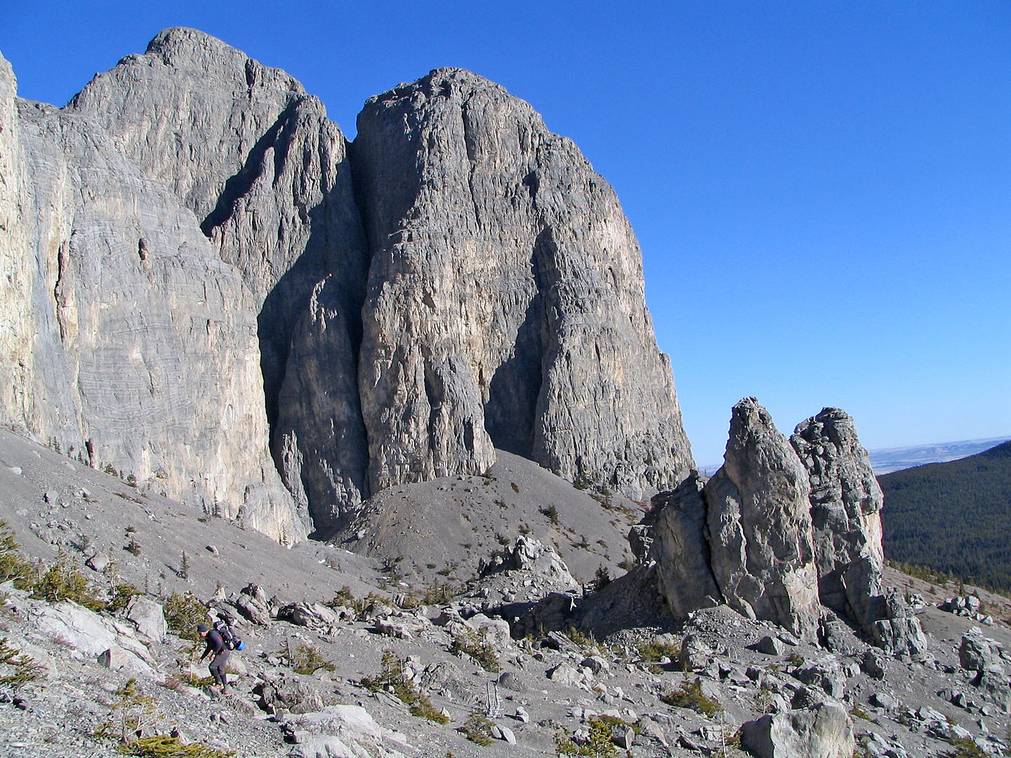
Putting the pinnacles behind us
Scrambling up the southwest slope near slabs
The view ahead. On the left is a false summit.
Minutes later the terrain ahead becomes complex
 We ascended this gully
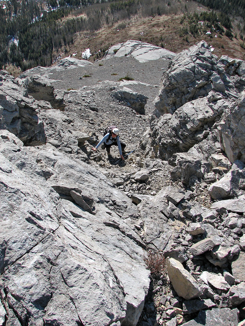
Dinah ascends the gully
Things look a better here, but we're forced to turn back. Pinnacles on the left (mouse over).
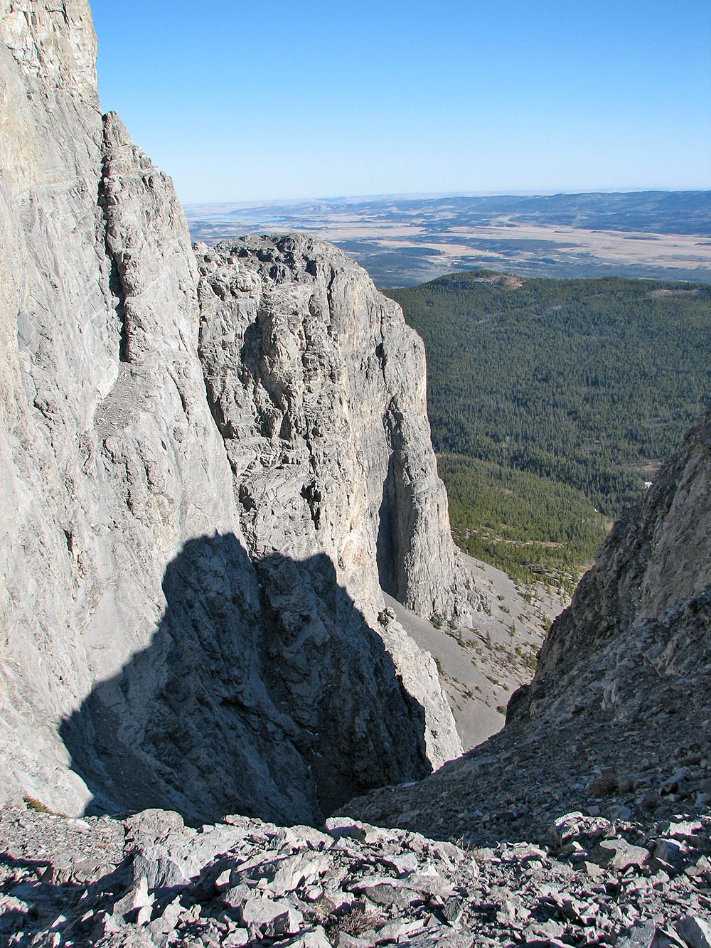
Looking down one of the canyons
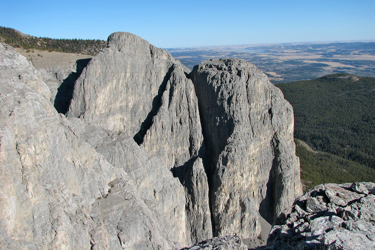 View from the end of a buttress looking east
 Standing on slabs with Yam in the background
 Heading back to the east ridge of Yam