bobspirko.ca | Home | Canada Trips | US Trips | Hiking | Snowshoeing | MAP | About
Association Hill
Kananaskis, Alberta
November 11, 2006
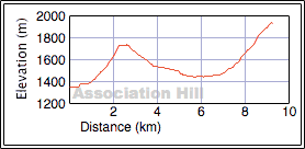
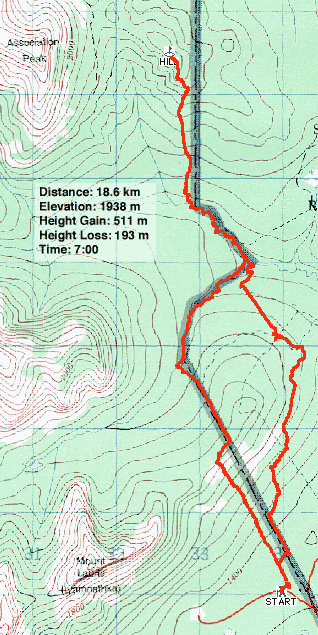
Distance: 18.6 km (11.6 mi)
Cumulative Elevation Gain: 1033 m (3389 ft)
East of Association Peak lies a point that can be seen from the highway. It has no name nor does it seem fitting to call it a mountain, so I called it "Association Hill." This hill has always intrigued me and with little else to do late in the season, it seemed like a good objective. It would offer close views of Association Peak and End Mountain, as well as an opportunity to scope out approaches for these mountains. (An easier route is to take the trails I used for Association Peak.)
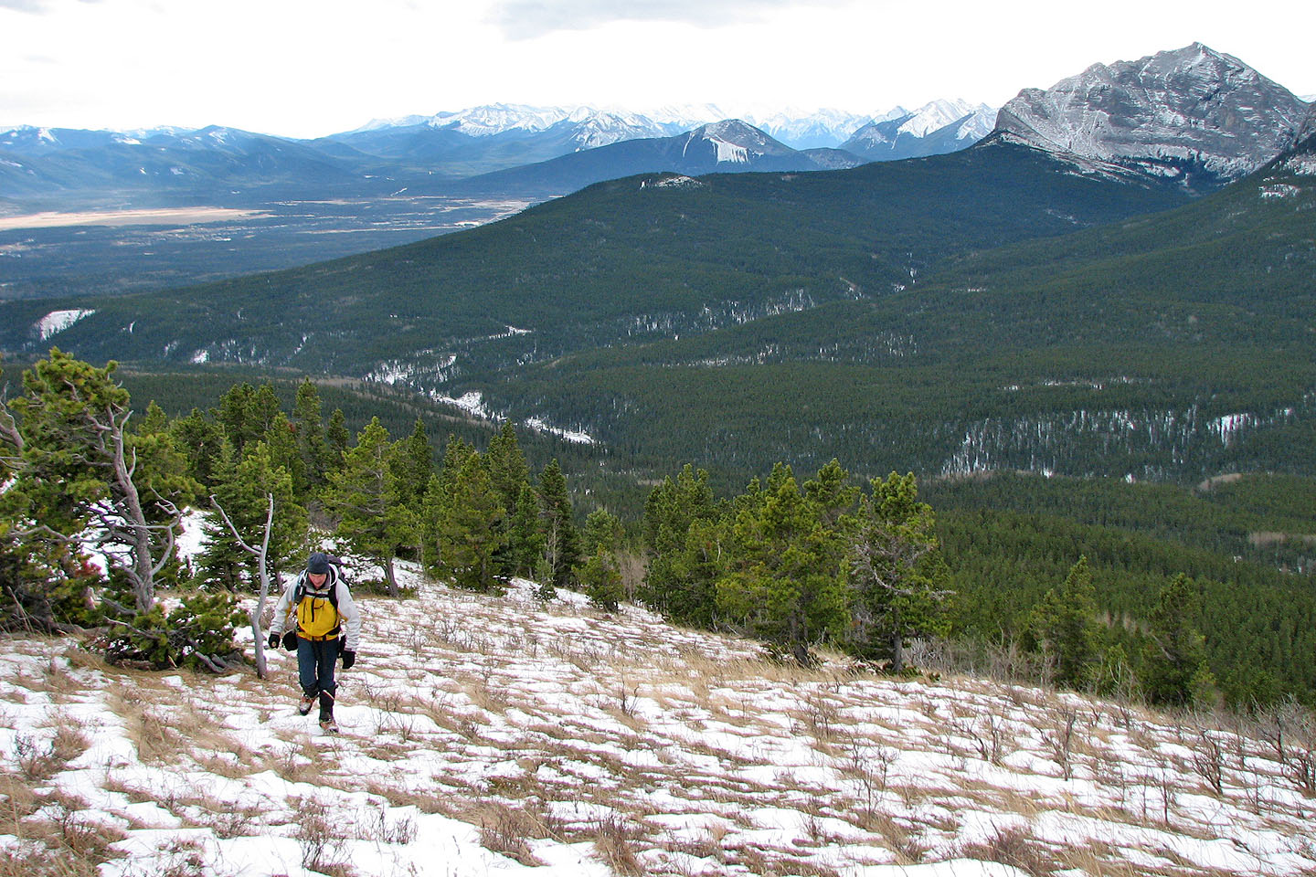
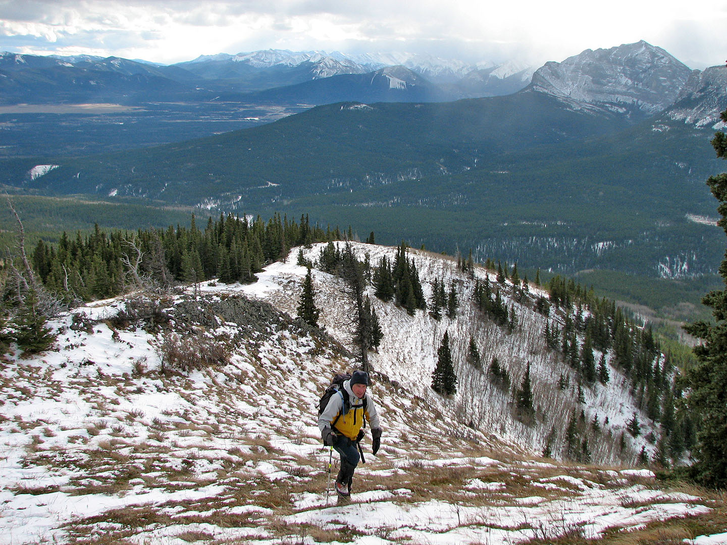
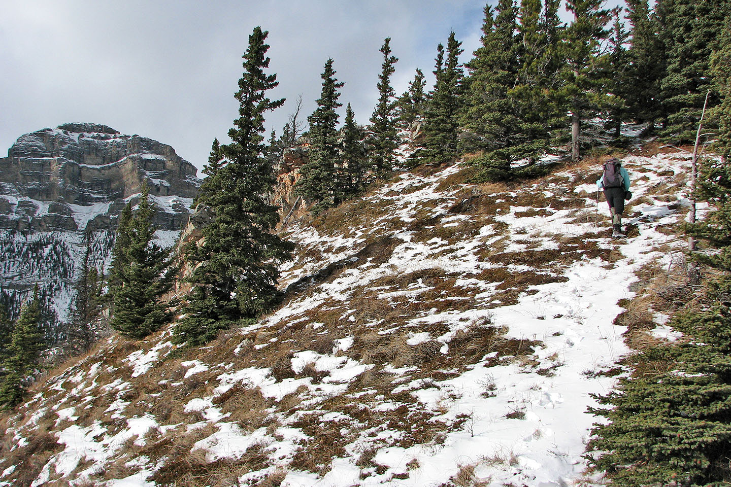
To reach the hill, we stayed on or close to the cutline dividing the park and Indian lands. We hiked up and over the east end of Mount Yamnuska and then followed branches of Old Fort Creek to the base of the hill. After leaving the creekbed, we hiked up the wooded slopes to the top.
Most daunting of our route was the 300 m elevation loss going over the east end of Mount Yamnuska. After trekking six kilometres we found ourselves only 100 m higher than our start point!
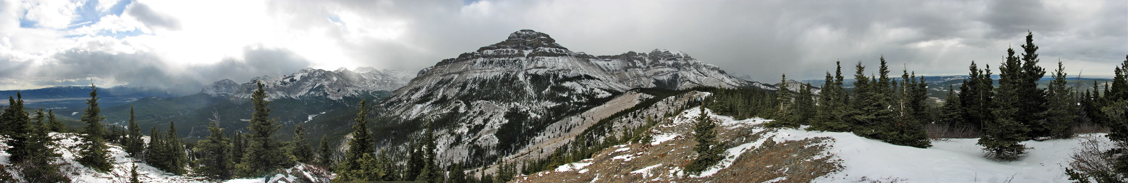
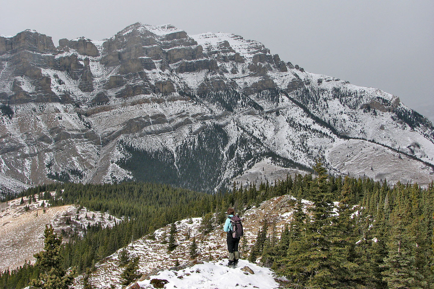
After reaching the top of the hill, we had a good look at Association Peak and End Mountain. We considered continuing on to the col and descend the drainage separating the hill and the peak, but bad weather moved in suddenly, and we retreated in a whiteout.
The storm passed quickly, and the sun even came out briefly. For the return trip to our car, we decided to go around the east end of Yamnuska. Although we had to do some bushwhacking, this route was a bit shorter and it shaved off nearly 200 m gain/loss.
Association Hill may be short in stature, but it offers great views of Association Peak and End Mountain.
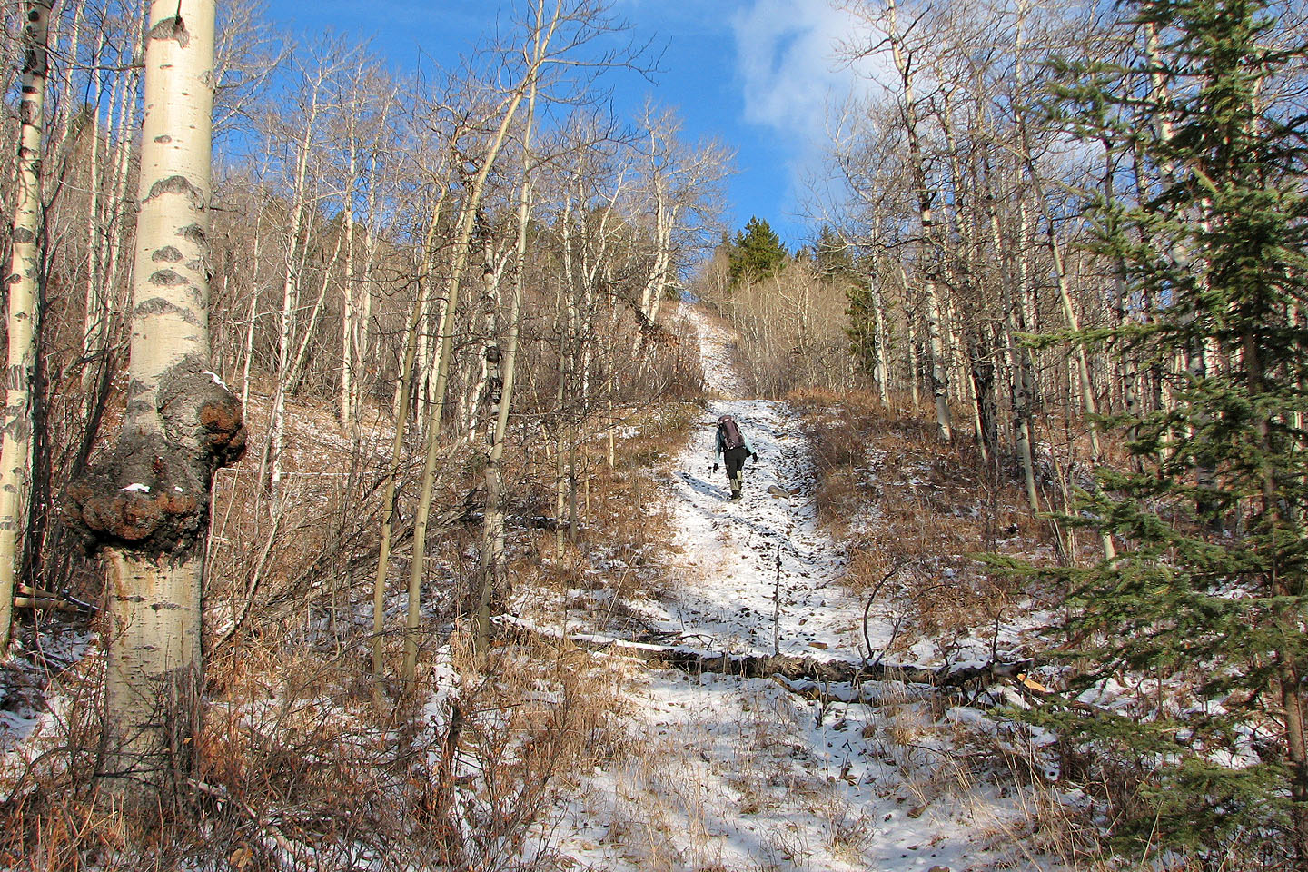
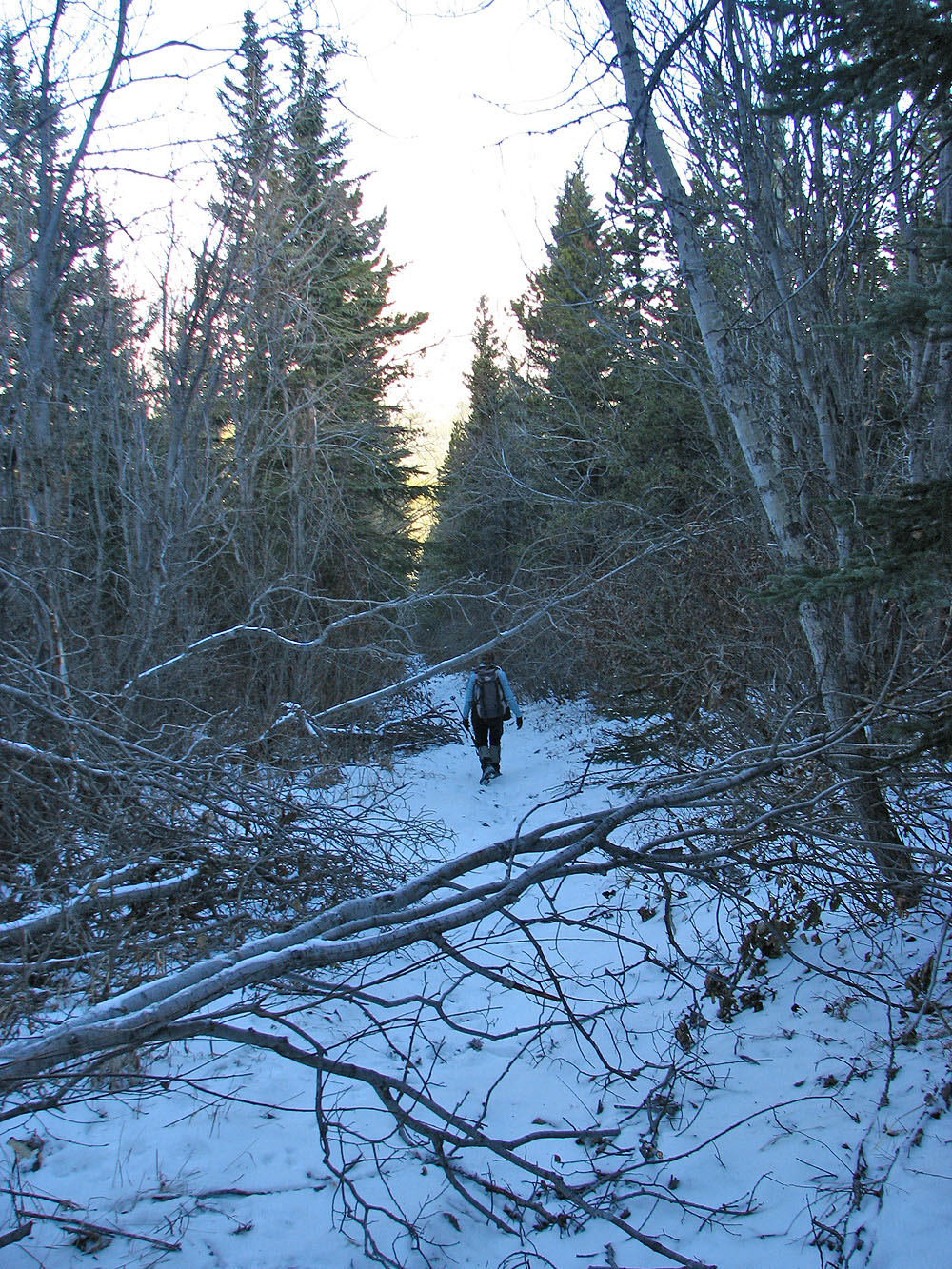
Starting up the cutline
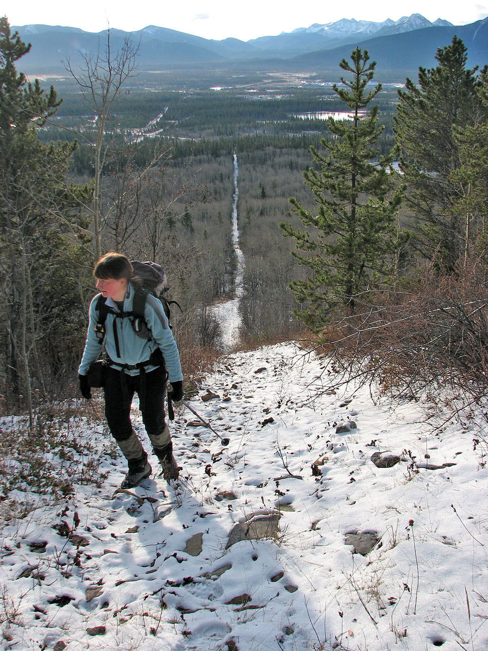
Looking back down the cutline
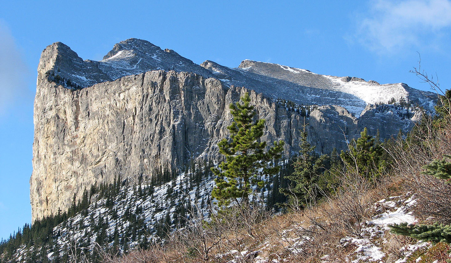
Mount Yamnuska
Starting down the other side of the ridge
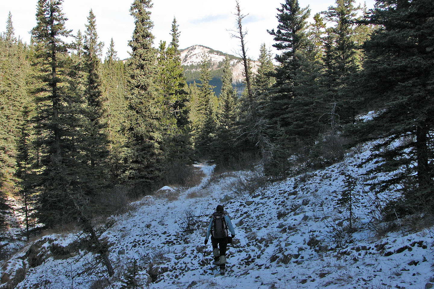
Hiking down the south fork of Old Fort Creek, our objective ahead
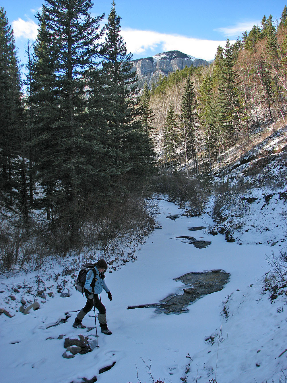
Crossing the south fork. East Peak of Wendell in the
background.
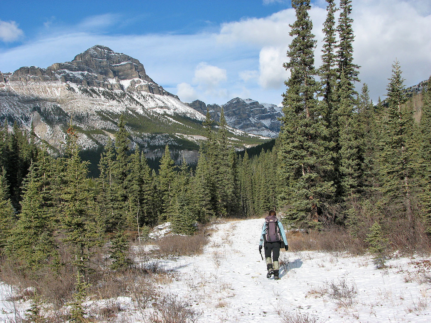
Going up the north fork of Old Fort Creek. Association Peak on the left.
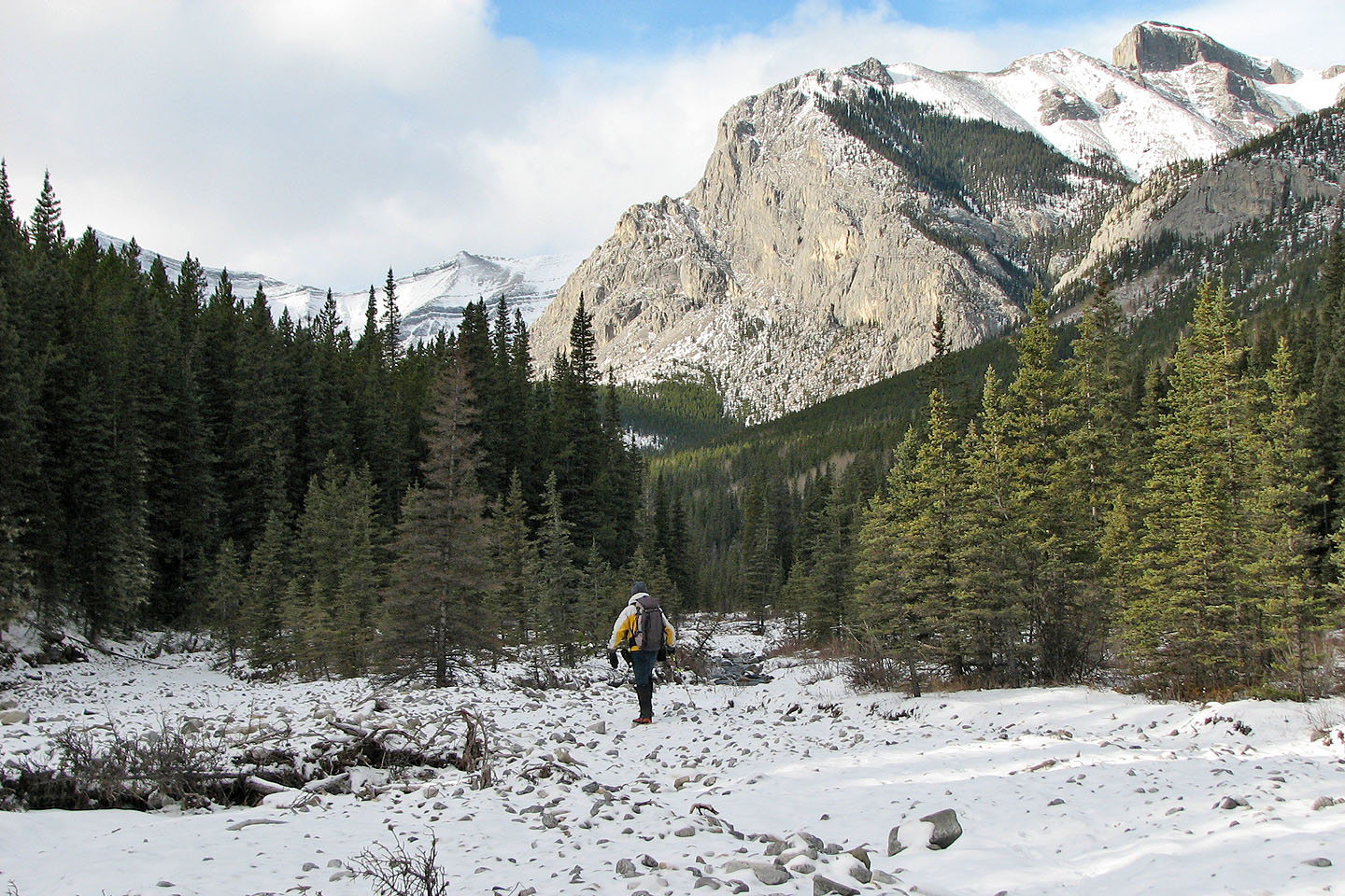
We'll soon leave the creek and head up the slope (not seen here)
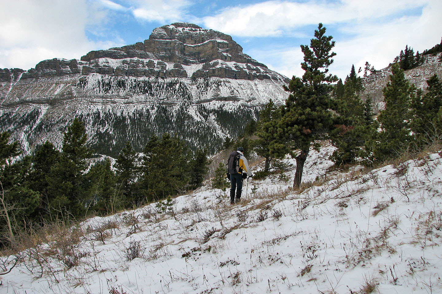
We come out of the trees to see the east face of Association Peak
The top is in sight
Mount Yamnuska on the right
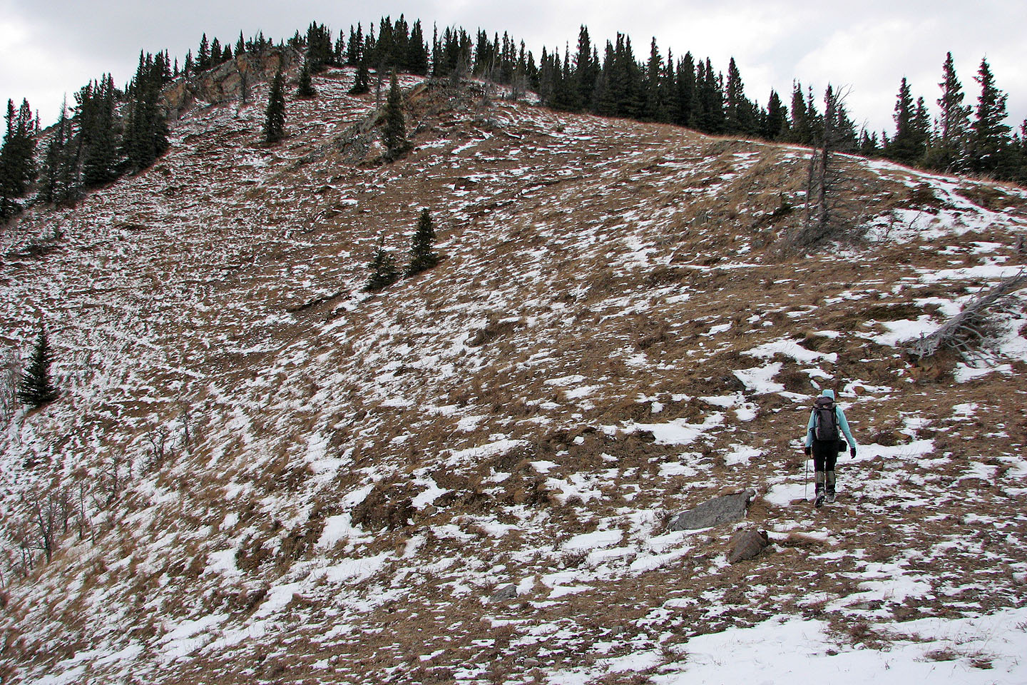
Looking back along the ridge
Association Peak appears close
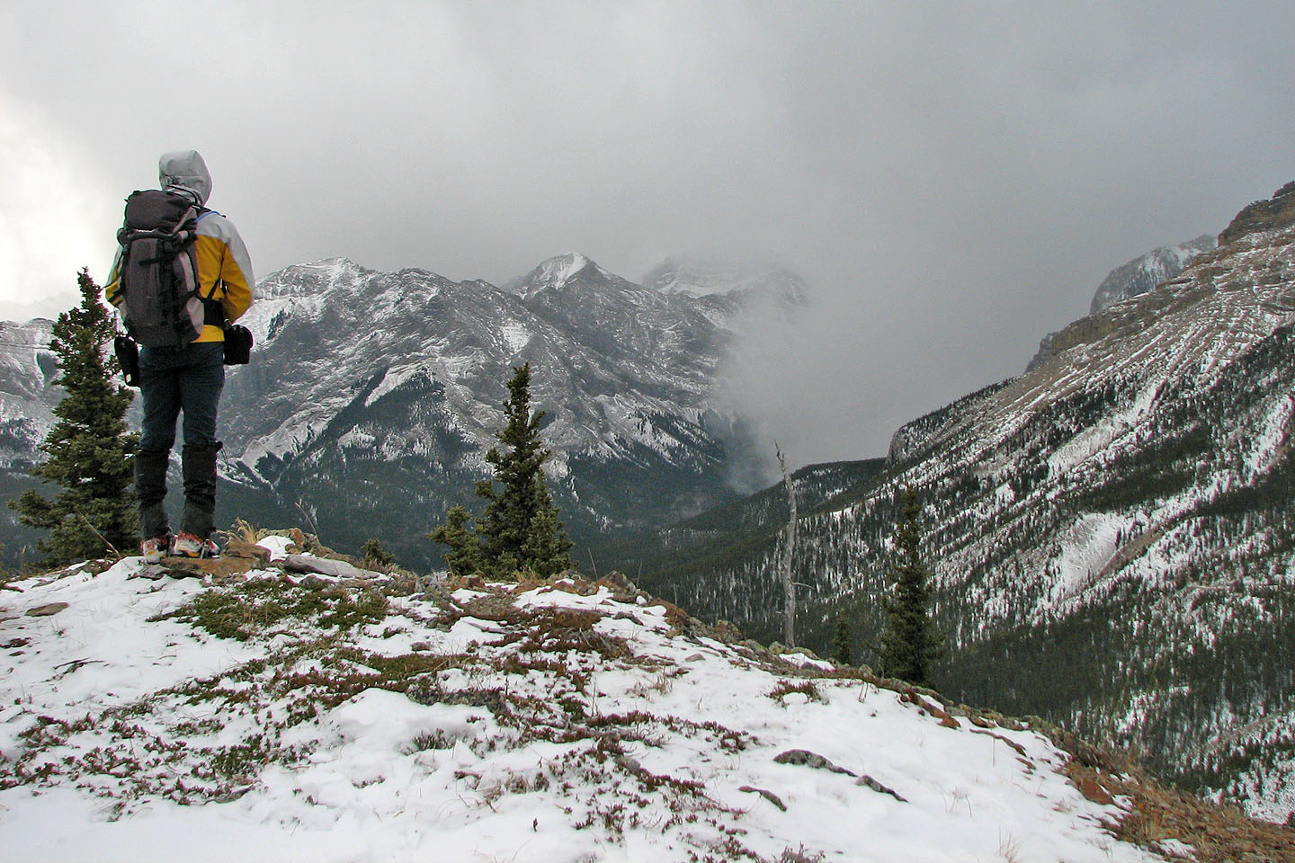
From the summit, we watched a snow squall coming in
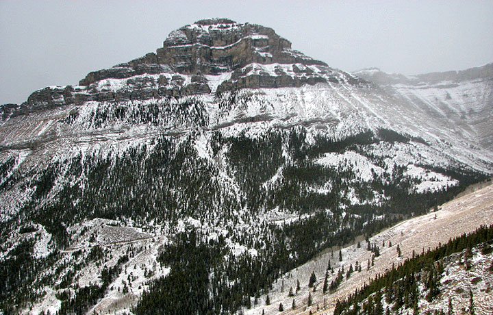
Association Peak
End Mountain
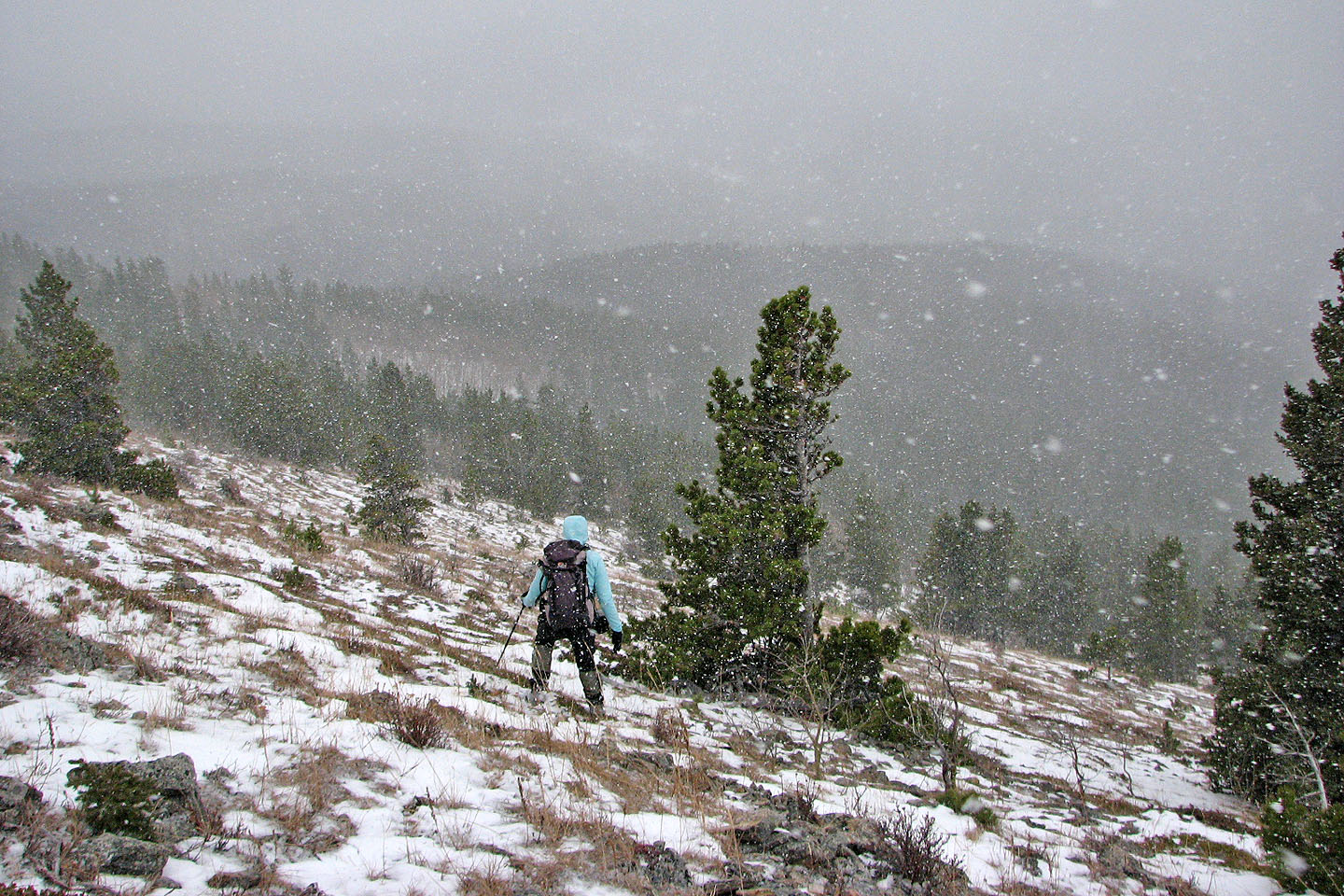
The snow squall moves in fast
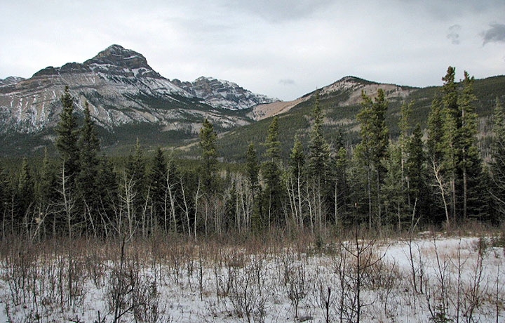 Looking back at Association Peak and
Association Hill
Looking back at Association Peak and
Association Hill
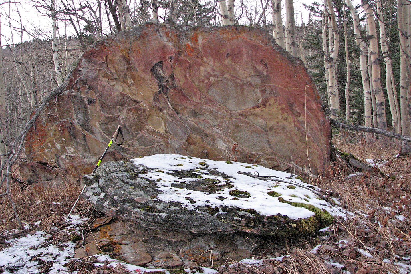
Colourful rock on Yamnuska
82 O/3 Canmore