bobspirko.ca | Home | Canada Trips | US Trips | Hiking | Snowshoeing | MAP | About
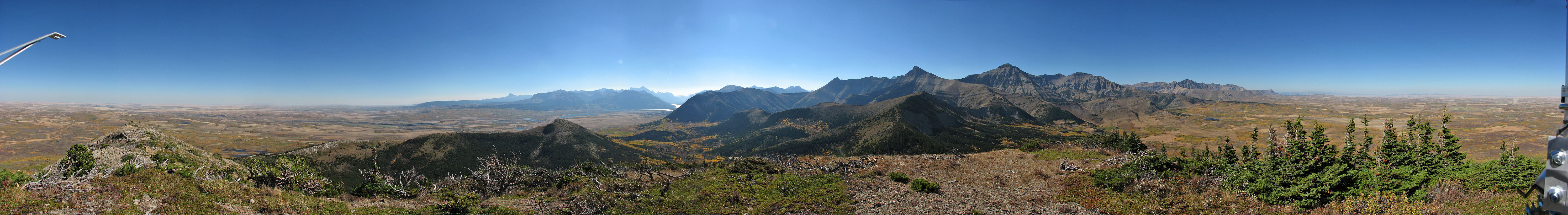
A weather instrument prevented a full panorama
Lakeview Ridge, East Ridge
aka Horseshoe Mountain
Waterton Lakes National Park, Alberta
September 30, 2006
Distance: 13.2 km (8.2 mi)
Cumulative Elevation Gain: 800 m (2625 ft)
With Dinah recovering from the flu, an extended trip was out of the question. We were going to climb Bellevue Hill in Waterton Park, but with four bears wandering around the trailhead, it didn't seem like a good idea. Looking around we decided to hike up Lakeview Ridge.
Lakeview Ridge is a horseshoe-shaped ridge north of Bellevue Hill; we ended up hiking the east arm of the ridge. The trailhead lies adjacent to the bison paddock, and after parking at the end of the road, we set off up the cutline. At some point, we knew we would have to leave the cutline and head towards the ridge. I was expecting to bushwhack, but where the cutline crosses Galwey Brook, we discovered a trail that took us to the ridge.
It was a beautiful day. The sky was clear, and everywhere were the vibrant colours of autumn. We complained only high on the ridge where strong winds threatened to blow us off.
After reaching the first high point, we continued along the ridge and around the bend to reach another high point, the highest on the east ridge. There was a weather instrument but no cairn. Beyond that was another high point, the highest point on Lakeview Ridge, but reaching it entailed losing 200 m. Unfortunately Dinah was beginning to tire, so we abandoned the ridge after reaching the second high point and turned back.
We hiked down a semi-open side ridge to the valley. As we descended we saw a moose in the valley, but it disappeared by the time we reached the valley bottom. We followed trails that skirted around the end of the ridge until we rejoined the trail we came in on.
Although our ridgewalk was not an impressive effort, it allowed us to take in the dazzling autumn scenery of Waterton. (In 2011 I returned to climb the West Ridge.)
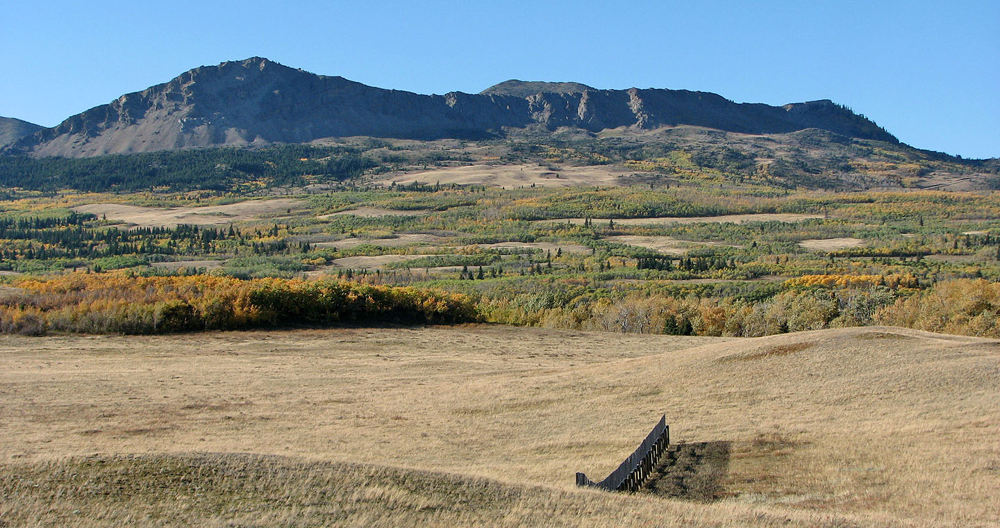
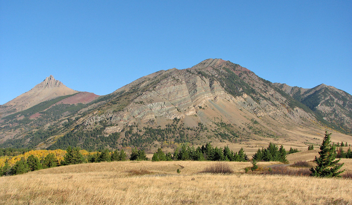
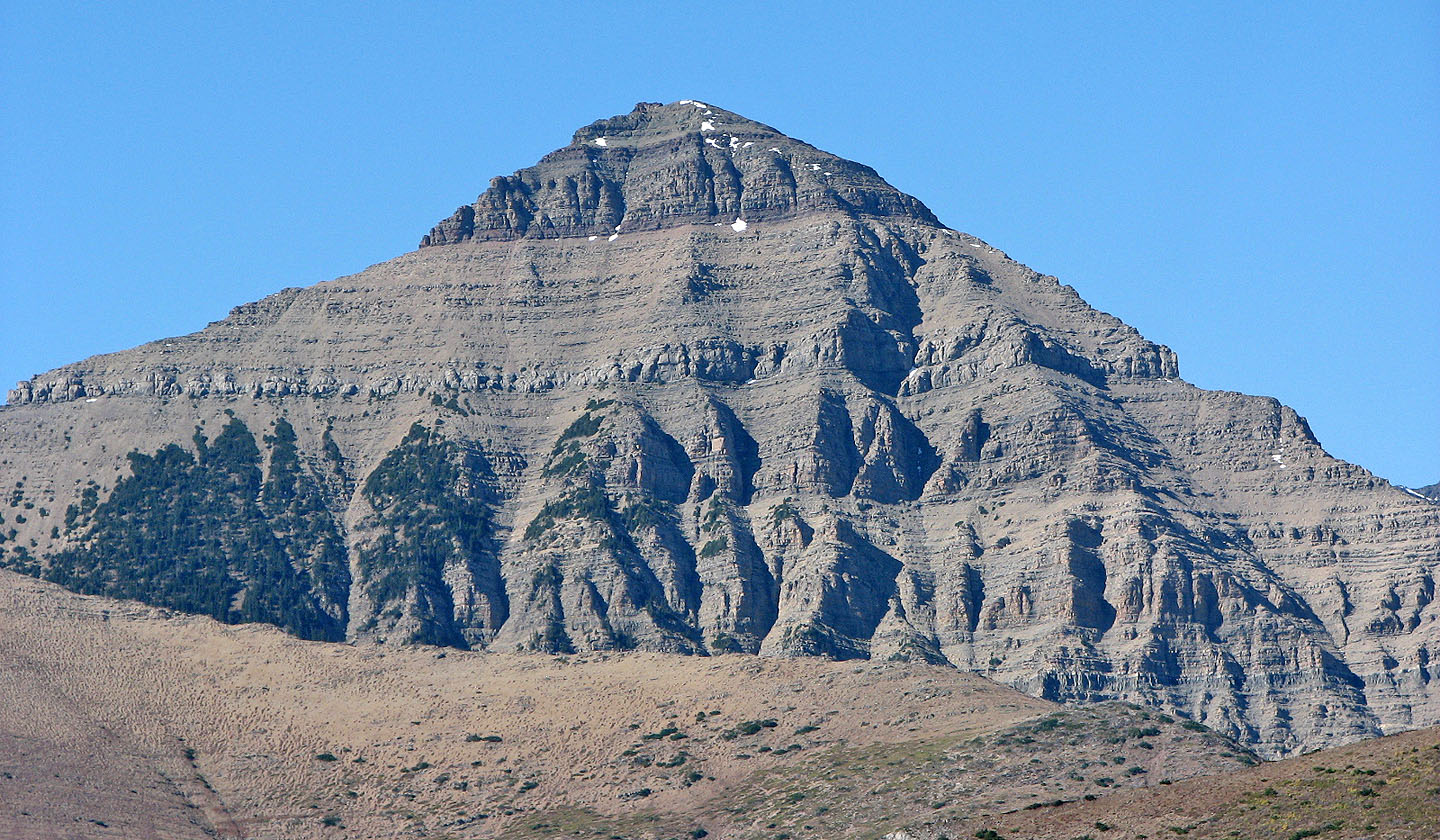
We ascended the high points (left and centre) of Lakeview Ridge as seen from
the highway
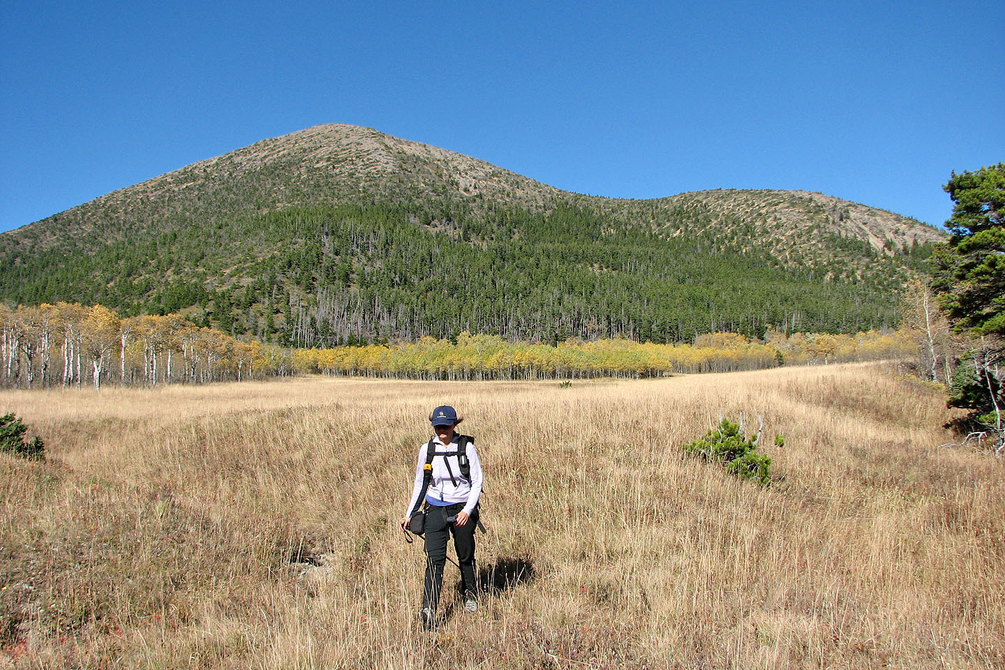
The ridge seen from the cutline
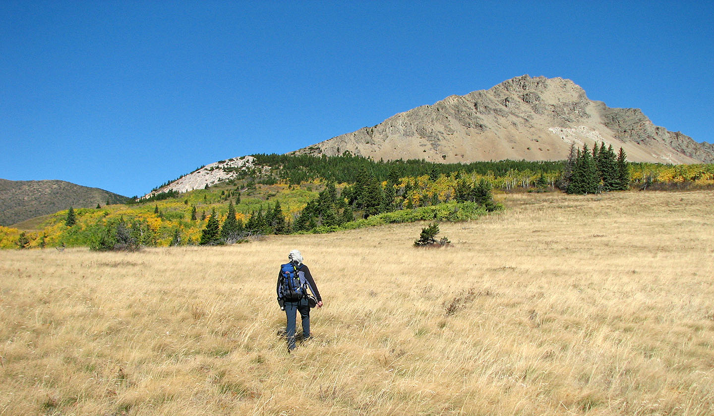
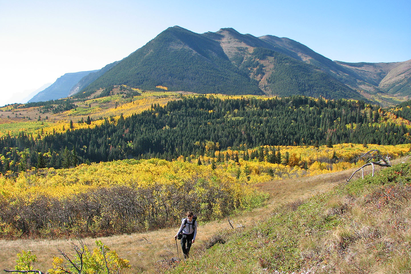
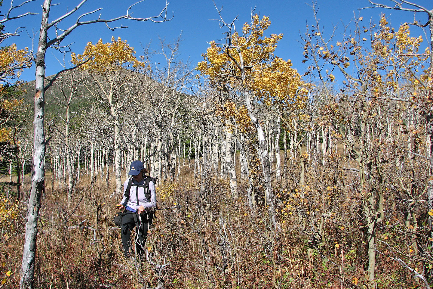
Crossing a meadow as we made our way to the foot of the ridge
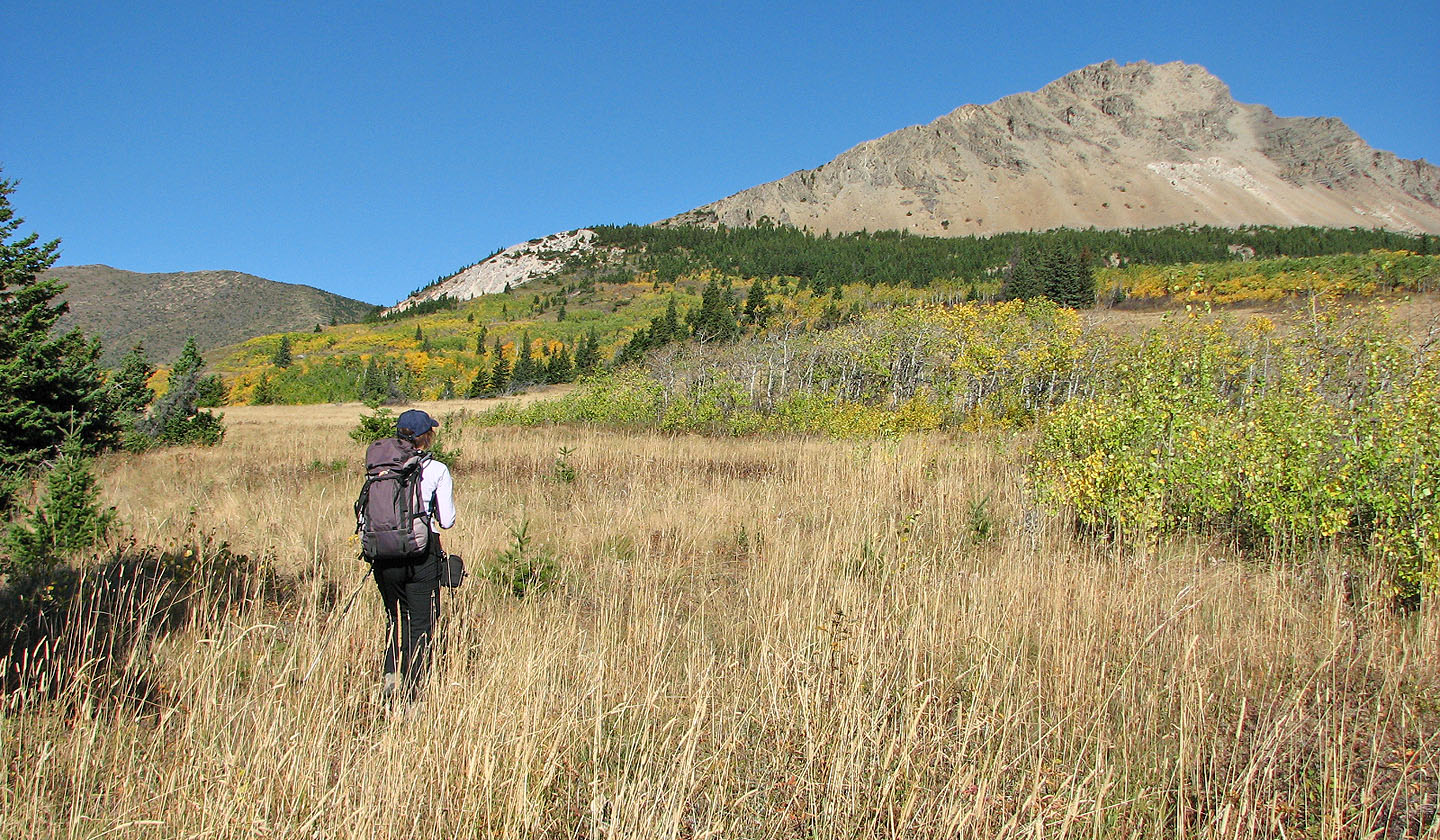
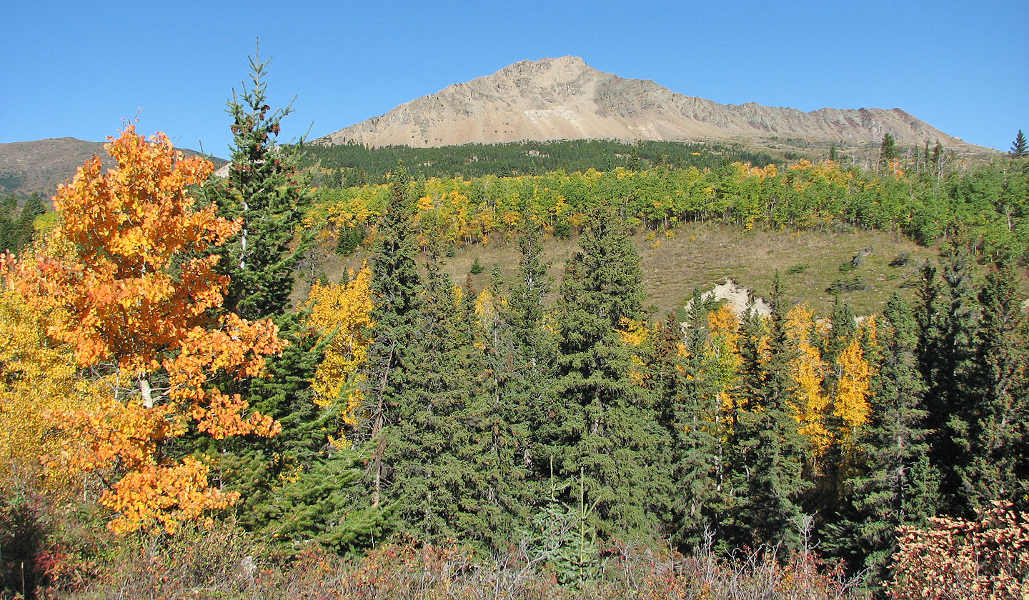
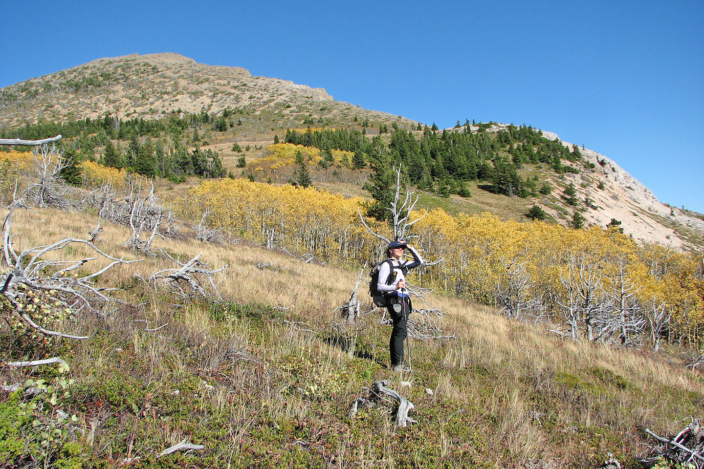
The first high point appears ahead
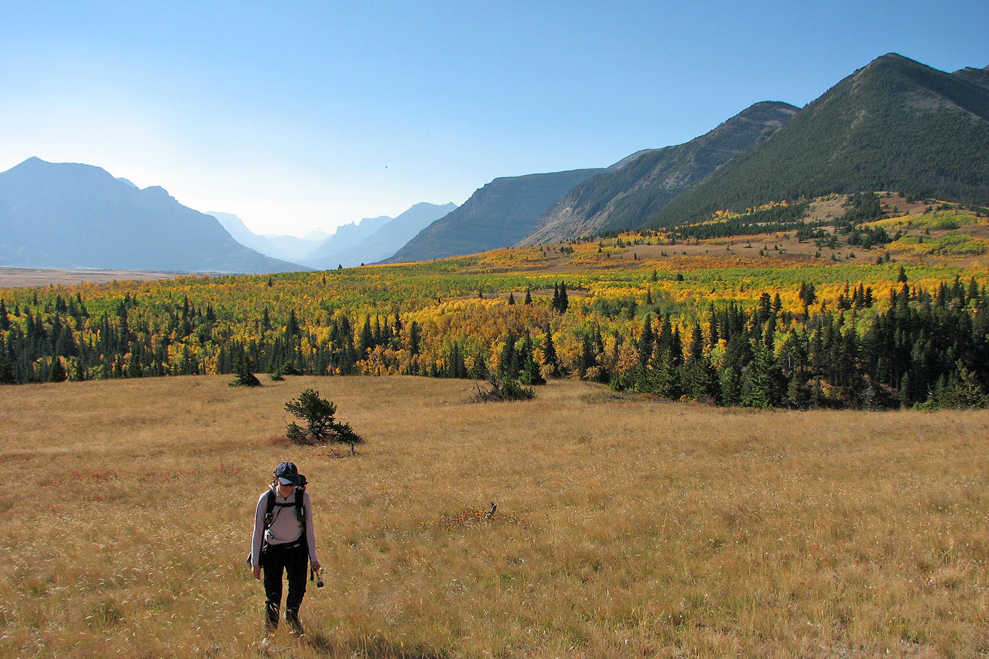
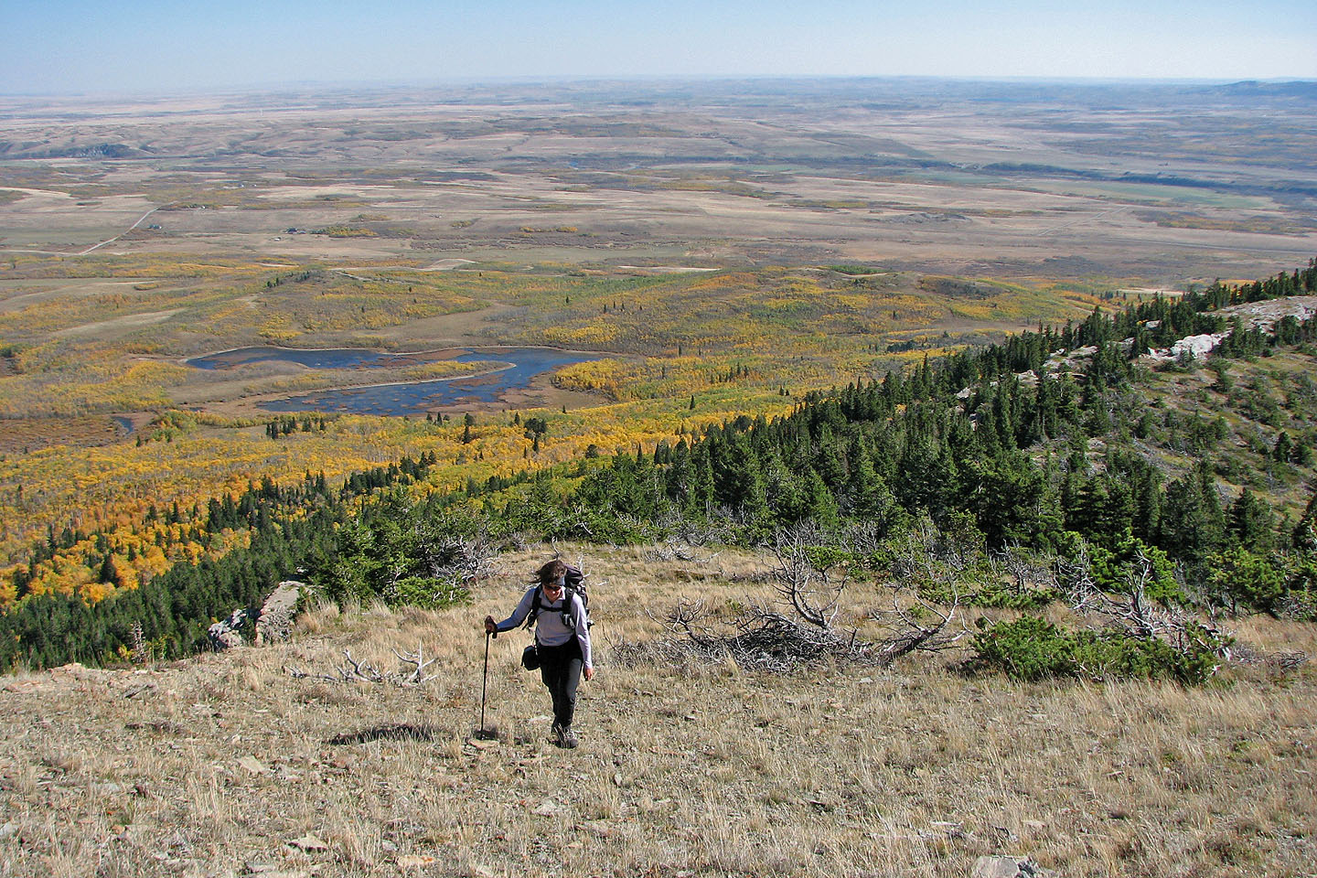
The view behind shows fall colours
Mount Galwey on the left
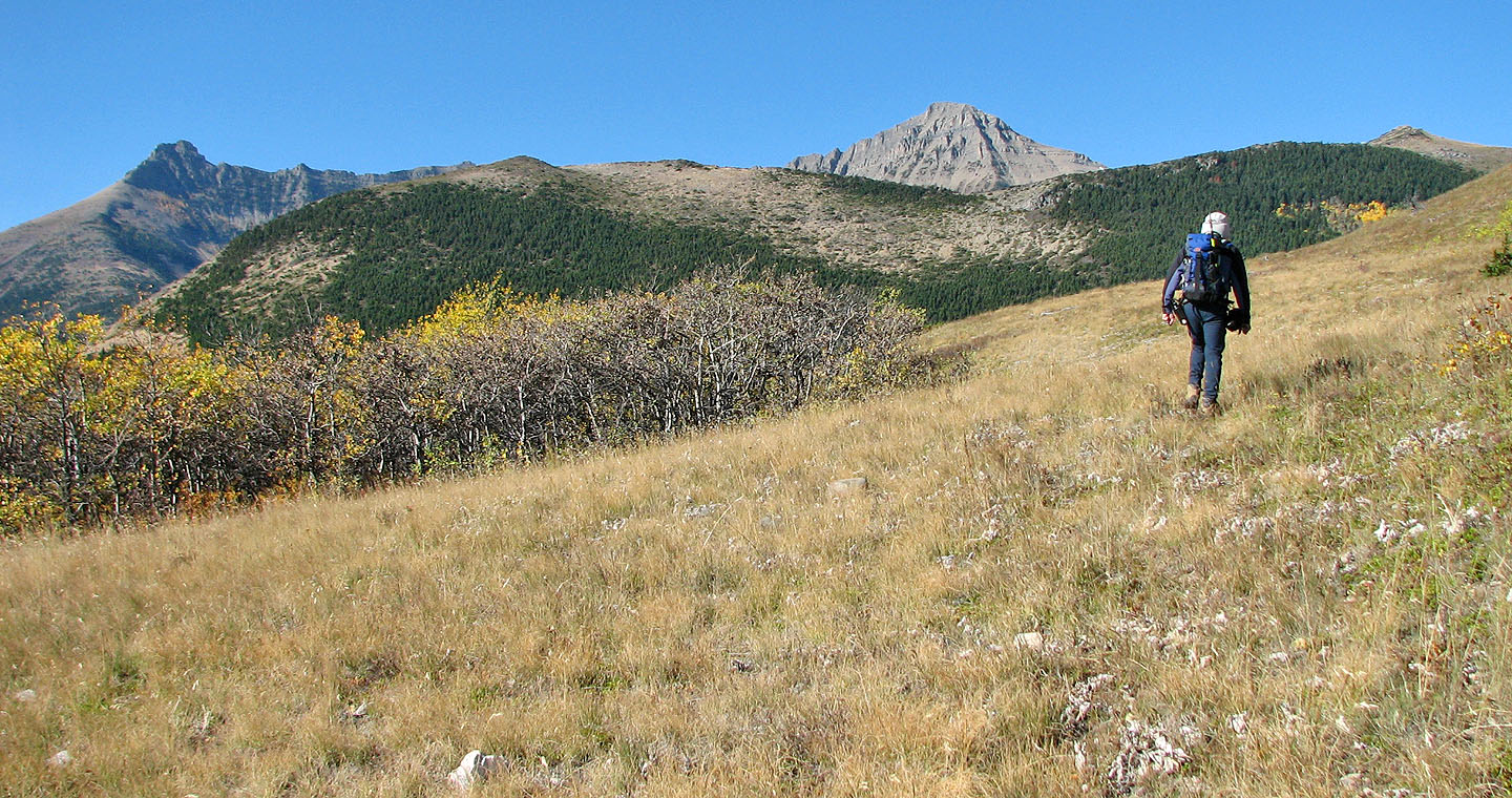
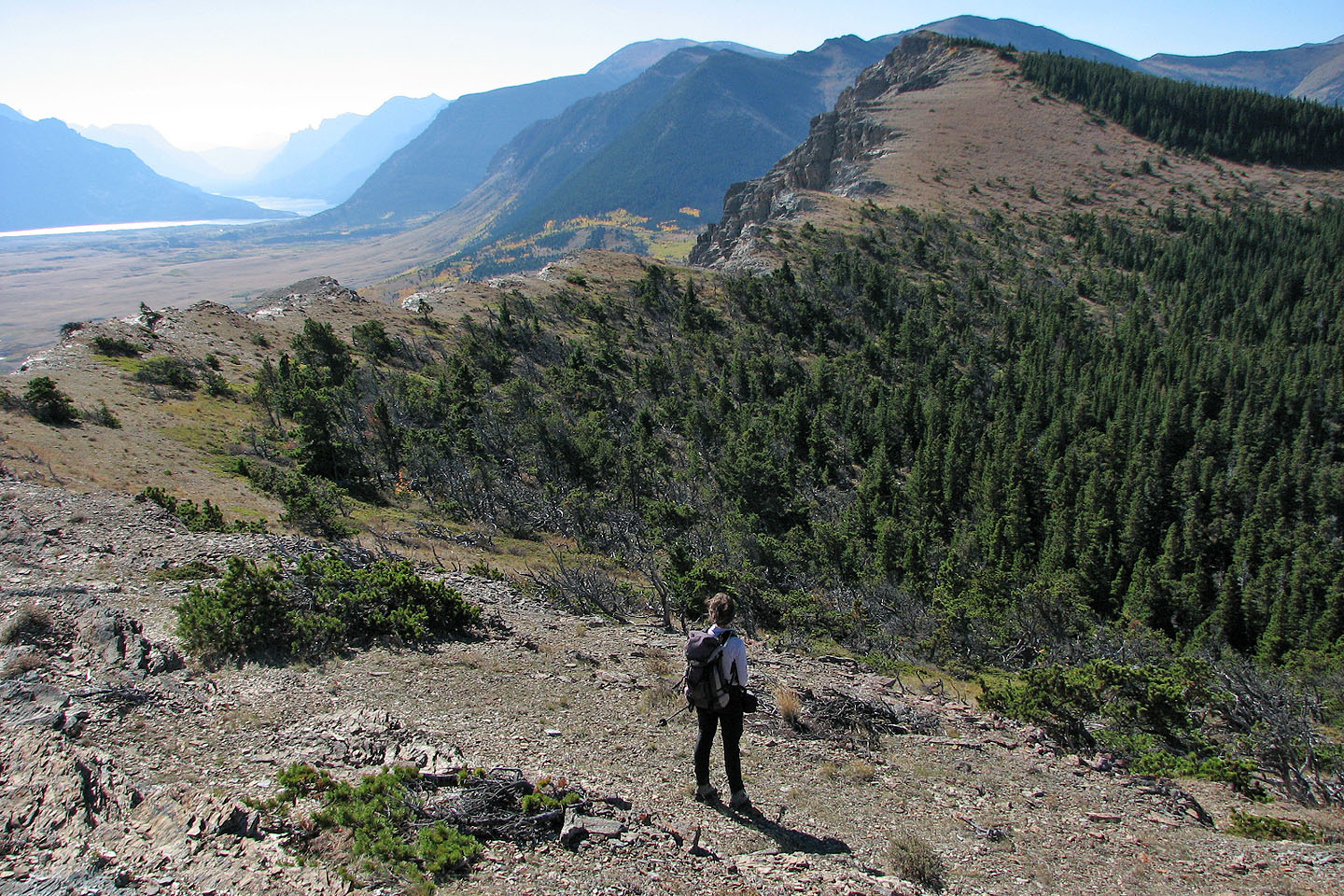
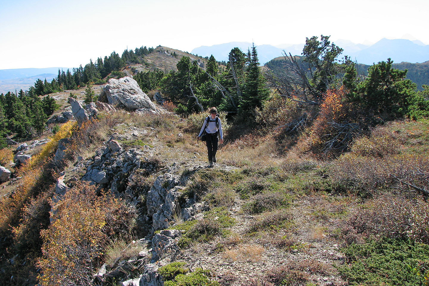
Approaching the end of the ridge
Looking back
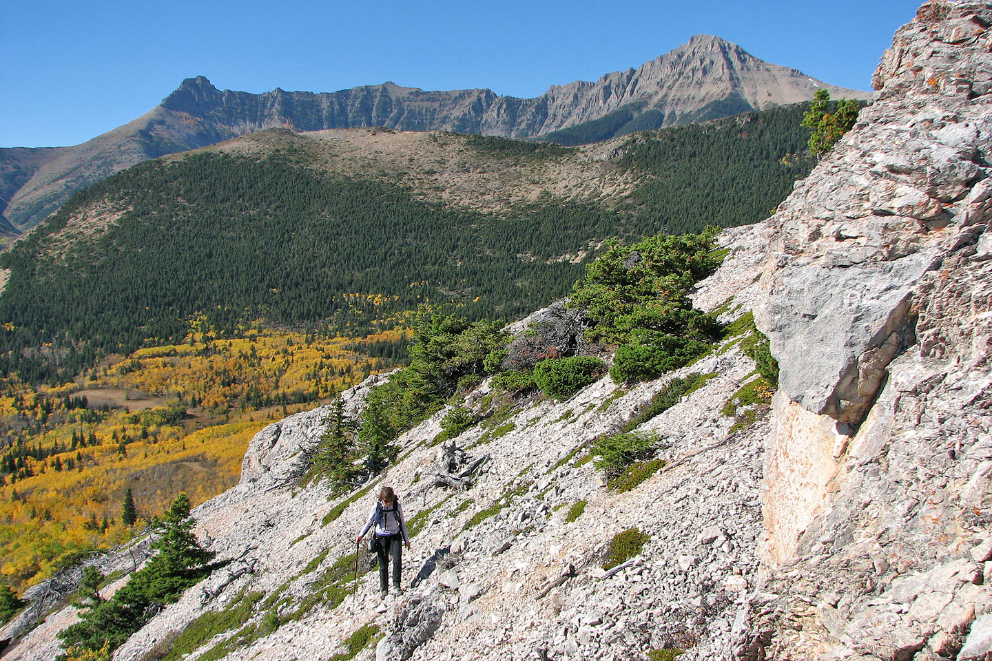
On the skyline, a long ridge connects Mount Galwey to an unnamed peak
Mount Dungarvan
Looking down from the first high point to the ridge section we'll head to next
Coming down from the first point
Looking back at the first high point
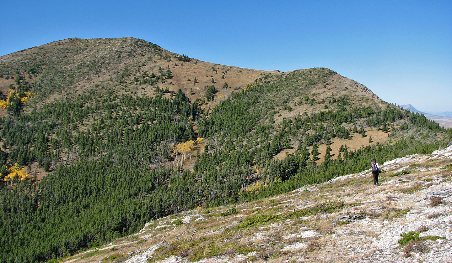
The ridge curves left to the second high point
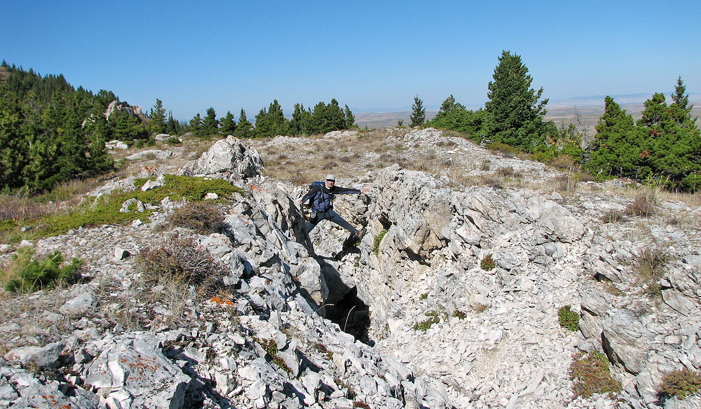
We came across some fissures on the ridge
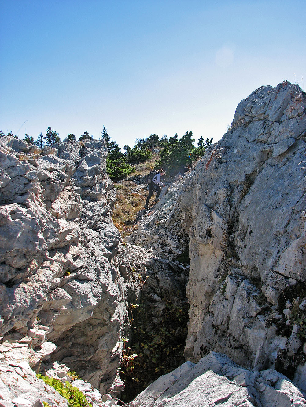
Looking along a fissure
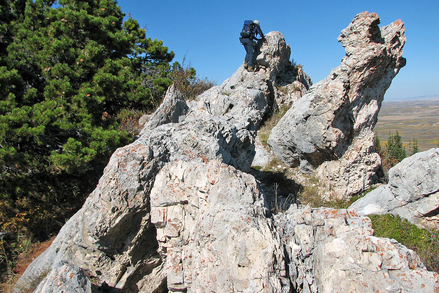
Some unusual rock formations
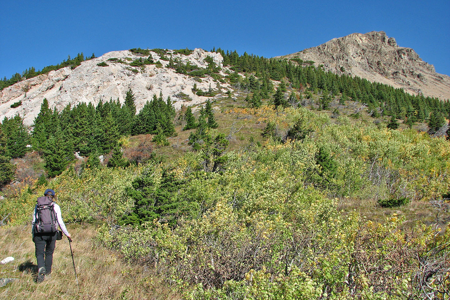
We start ascending to the second high point
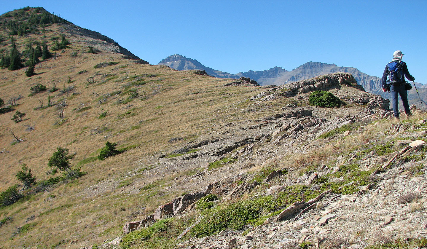
Second high point on the left
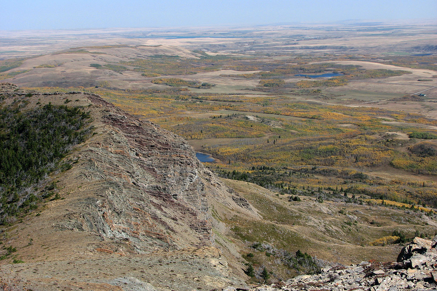
Featureless landscape to the north
Looking at the first high point from the summit
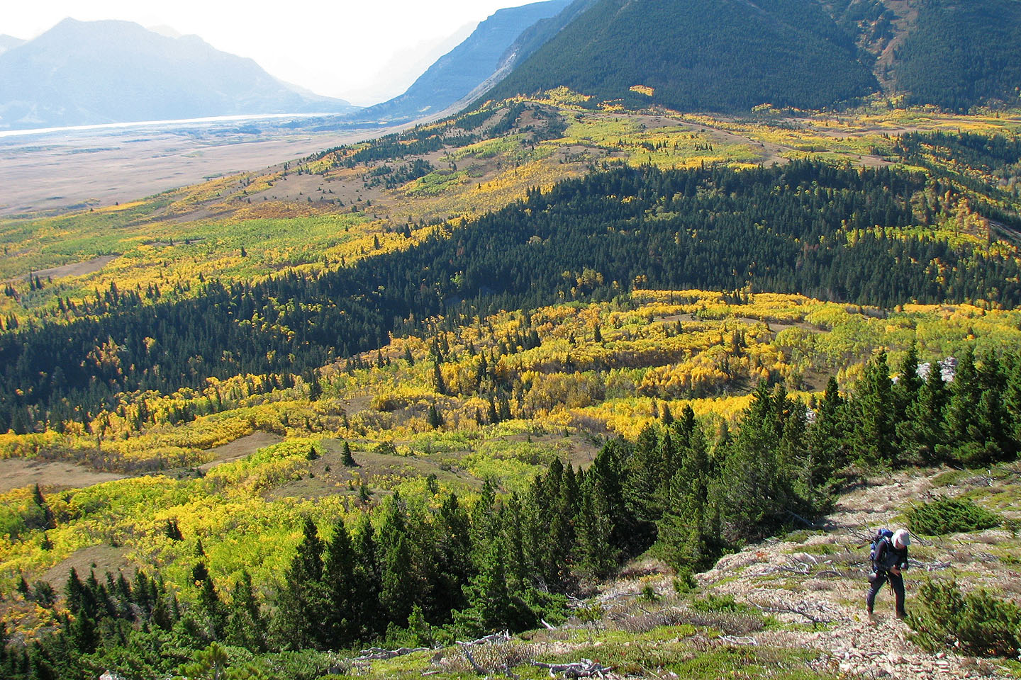
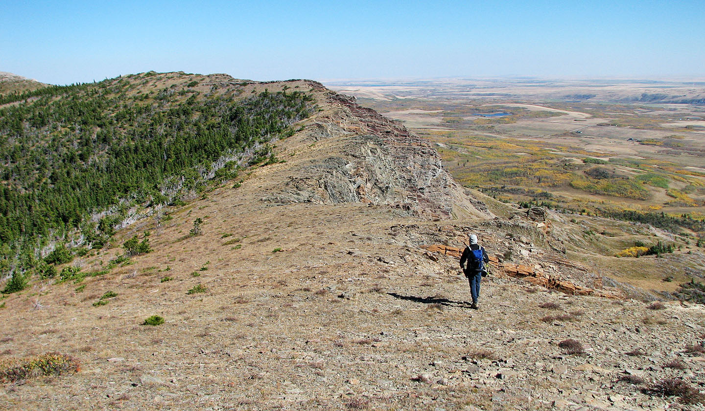
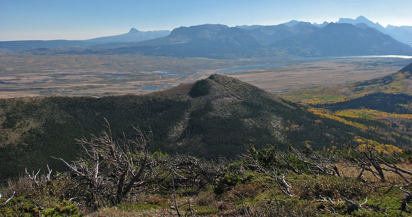
Looking back from the valley to the second high point we reached. We followed
the skyline ridge to the valley
Looks are deceiving: we're actually on a good trail
Back at the end of the ridge where we started our ascent
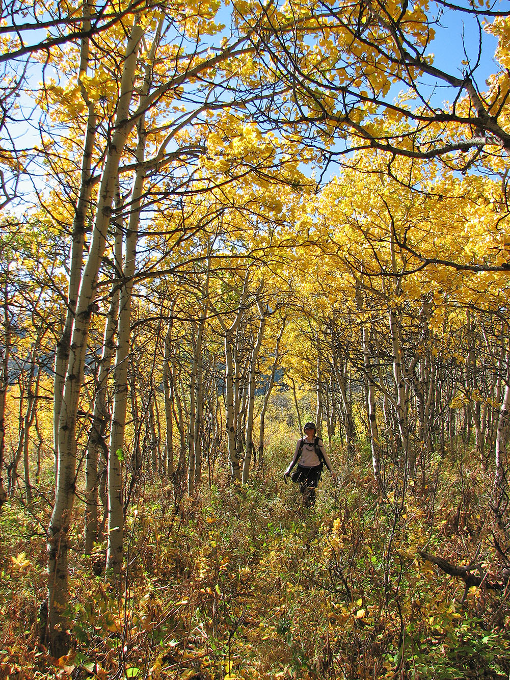
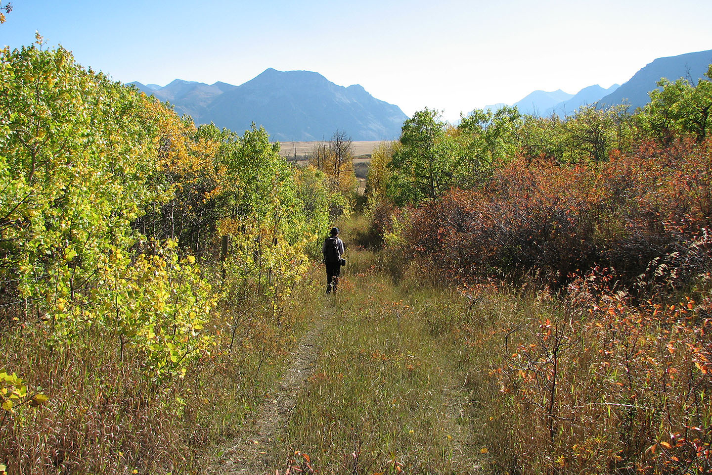
Here the trail lies under a canopy of yellow leaves
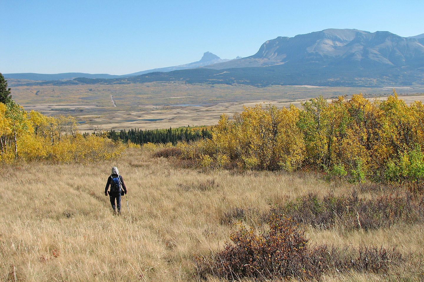
Back on the meadow. Chief Mountain in the middle
Hiking back on the cutline
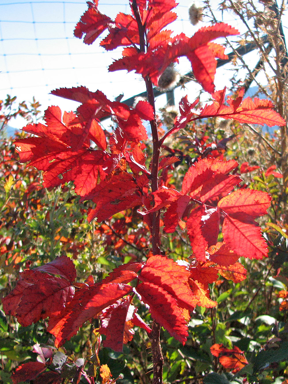
Brilliant autumn leaves
82 H/4 Waterton Lakes