bobspirko.ca | Home | Canada Trips | US Trips | Hiking | Snowshoeing | MAP | About

Wasootch Peak
Kananaskis, Alberta
June 24, 2017
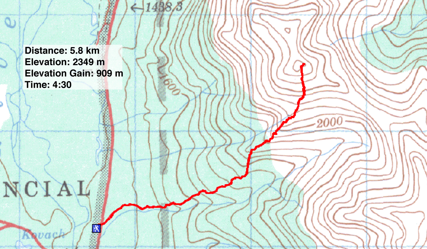
Distance: 5.8 km (3.6 mi)
Cumulative Elevation Gain: 909 m (2982 ft)
When Dinah and I climbed Wasootch Peak in 2005, we did so in winter conditions and stopped just short of the summit. Wanting to write a complete description of this popular peak, I returned to hike it in the summer.
The route begins on a creekbed, but what was a modest creekbed a few years ago has become a gravel highway. Be sure you catch the trail just before the gravel flats end. Otherwise you could wander far up the drainage and be forced to grapple with post-flood debris. Indeed, as I hiked along the trail I counted three side trails where parties apparently realized they had travelled too far and looked for an exit from the creekbed. The start of the trail is just 250 m from the trailhead. To find it, keep left on the gravel flats and look for conspicuous cairns. Once on the trail, you should have no difficulty following it to the summit.
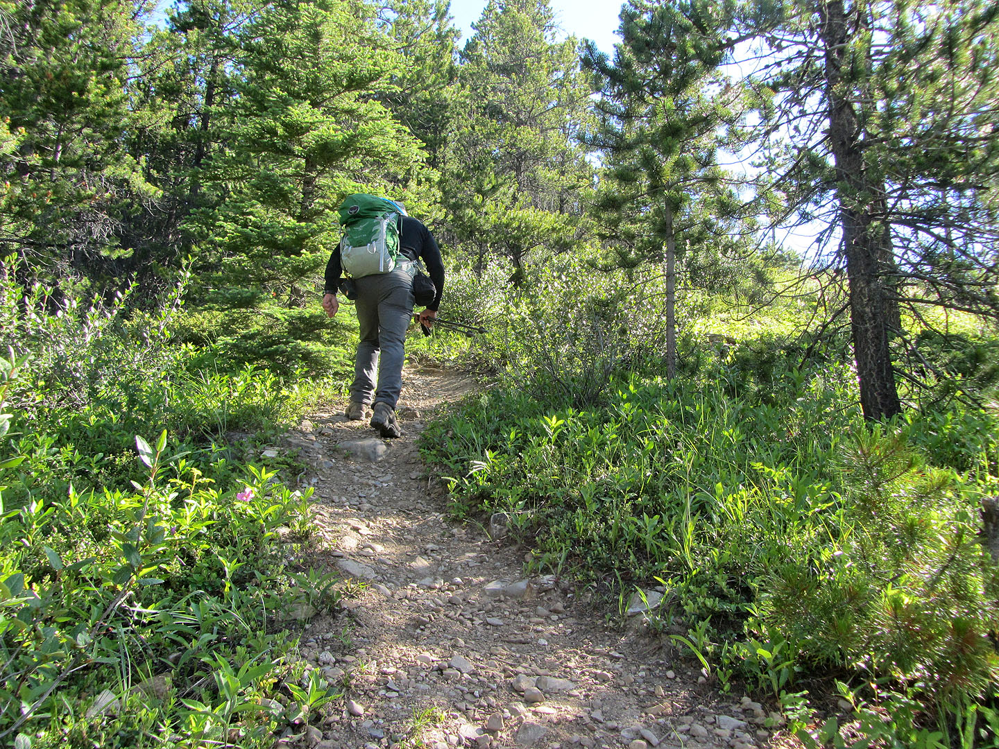
The trail rises steeply in the trees with few openings to take in the scenery, and few level spots to catch your breath. Until I emerged from the forest, I amused myself by trying to recognize wildflowers along the way.
Things got interesting when the path climbs to the top of a rocky ridge where the views really opened up. Most of the rest of the route is visible from here. After the ridge, the trail winds up a scree slope to the summit. The steepest part of the entire route is just below it, but here you can grab onto solid rock to haul yourself up if need be. A brief ridge walk ends at the true summit. (On my ascent, there was a summit register but no usable paper.)
Postscript: When I returned to the creek, I considered going to the waterfall (327444), but didn't as I expected that it would be an ordeal following the 2013 flood. However, Gillean Daffern corrected me: "We took the Six Flags bouldering trail which leaves the Wasootch Peak trail to the right just after the yellow Wildland Boundary sign. Went right on the blazed trail, then almost immediately left. The trail went around the bottom of a broken crag (a few dicey mud steps above the eroded bank which you can avoid by going higher) then the trail was easy to follow and red-flagged all the way and beyond to Wollen Traverse."
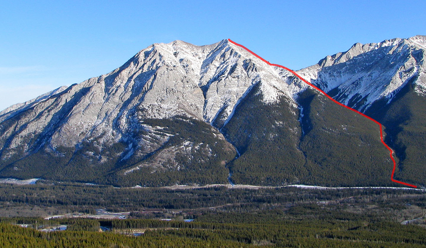
Wasootch Peak seen from Mount Allan showing the route
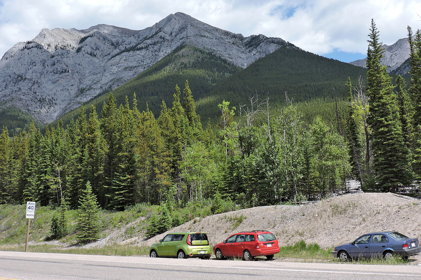
The trailhead is on Hwy. 40 just north of the turnoff for Kananaskis Village
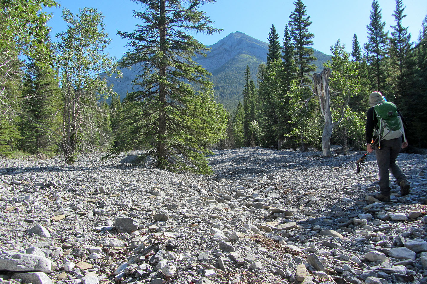
Starting up the gravel flats
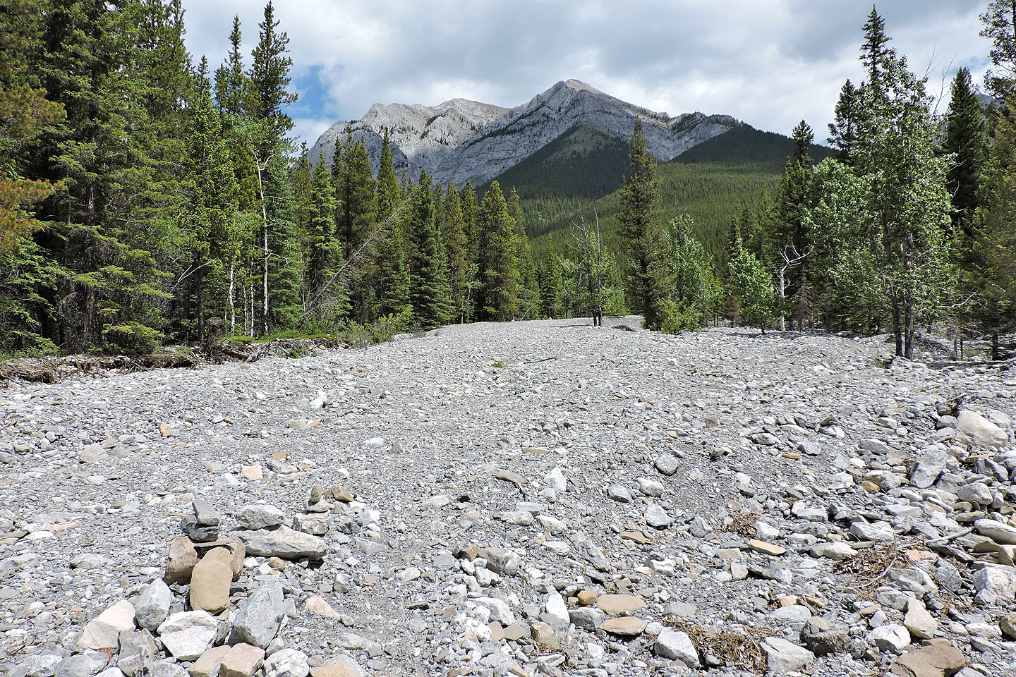
The trail begins on the left side at the end of the gravel flats
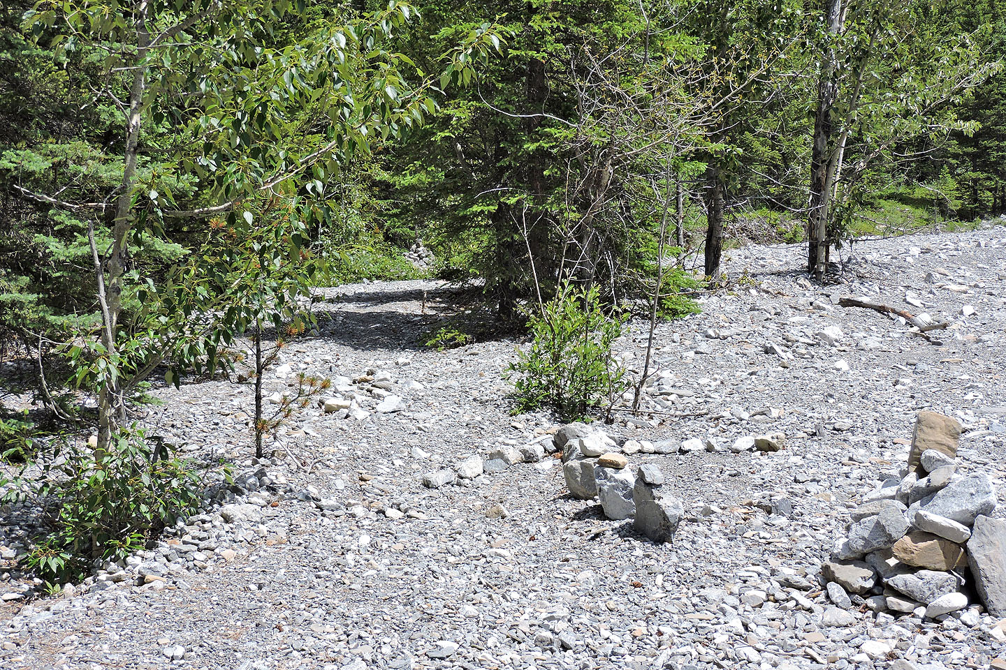
Cairns and even a stone arrow direct you to the cairn (upper left) where the trail starts
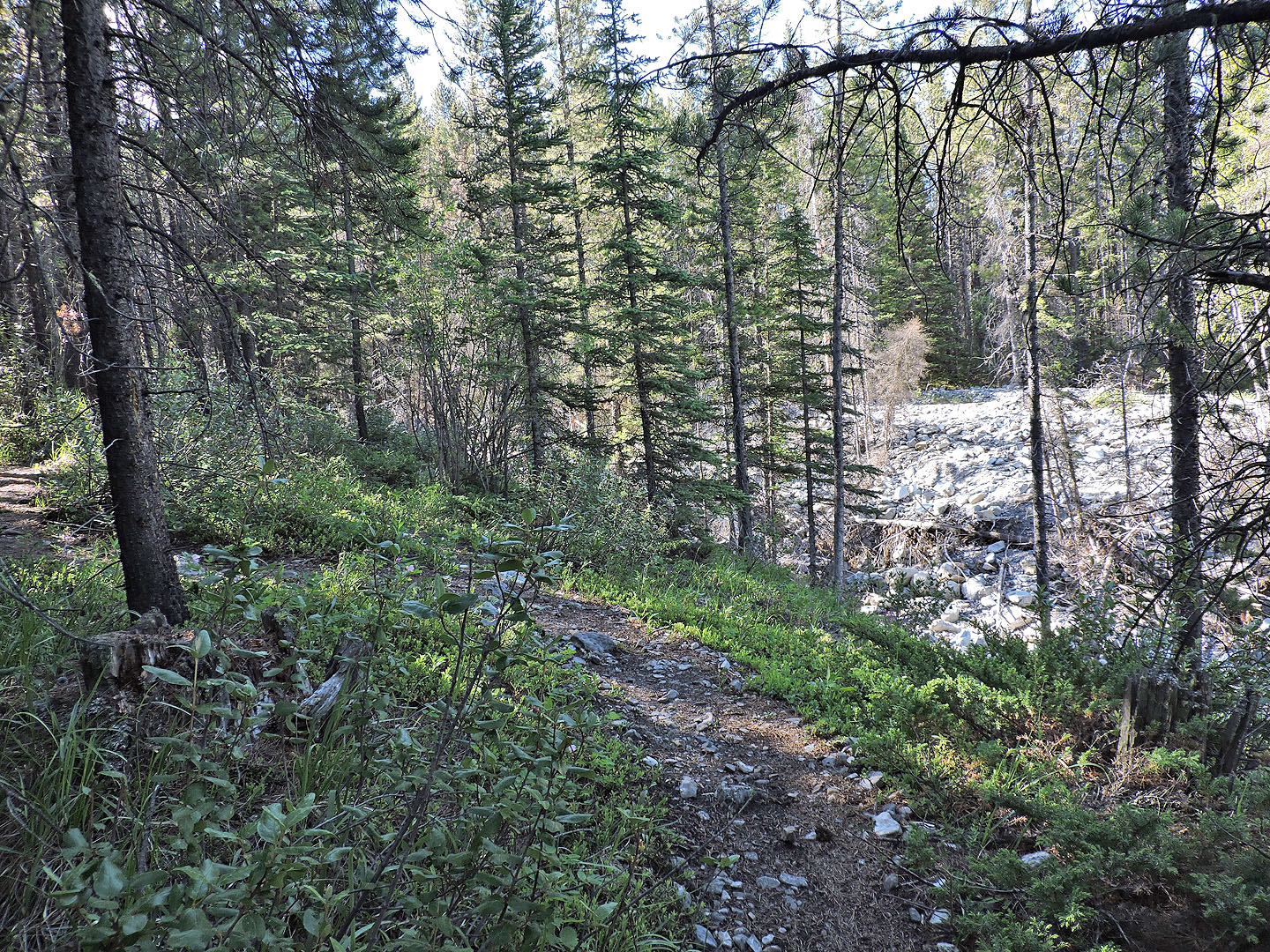
At first the trail runs level with the creekbed
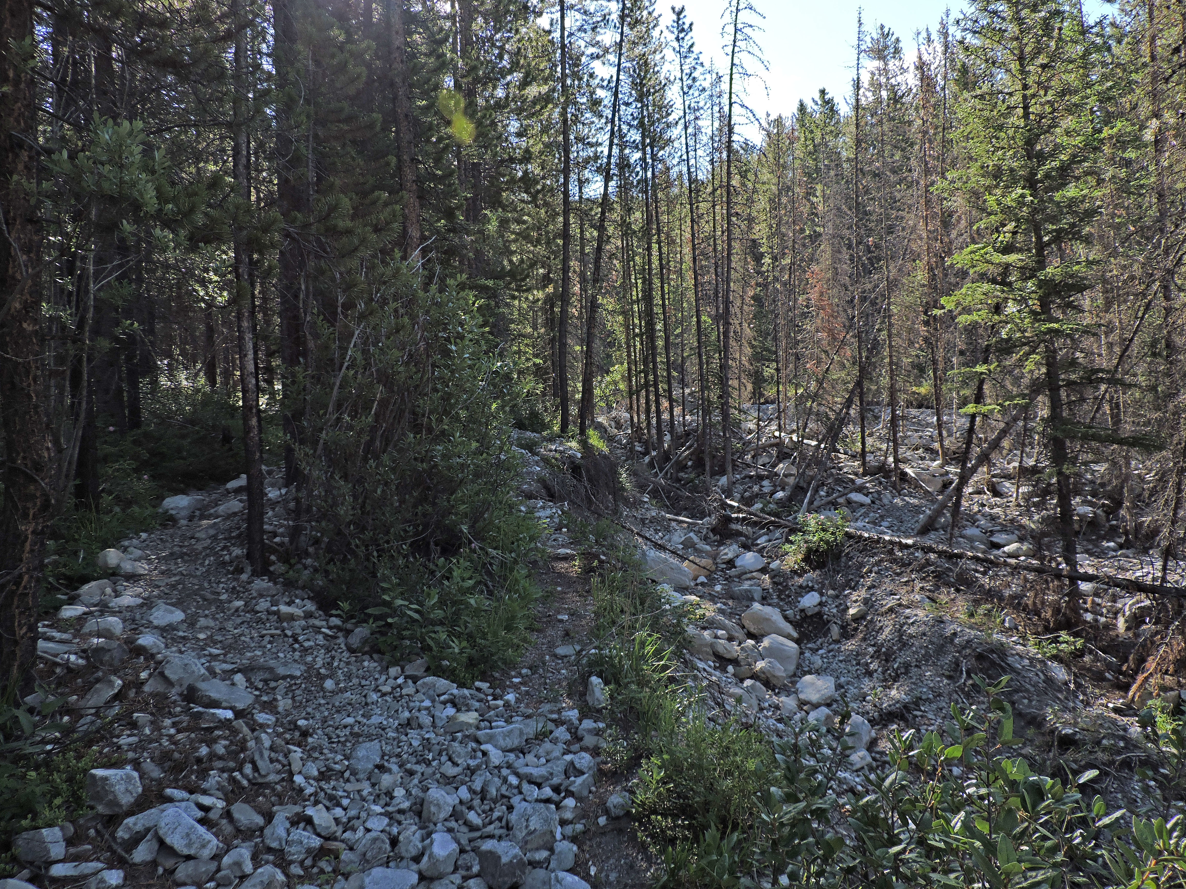 Anyone who misses the start of trail will have to contend with flood debris in the drainage
The trail begins to climb
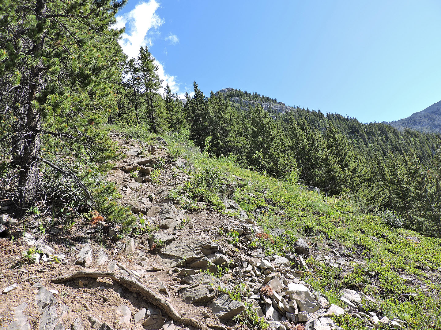
The lower slopes are mostly treed but there are a few openings
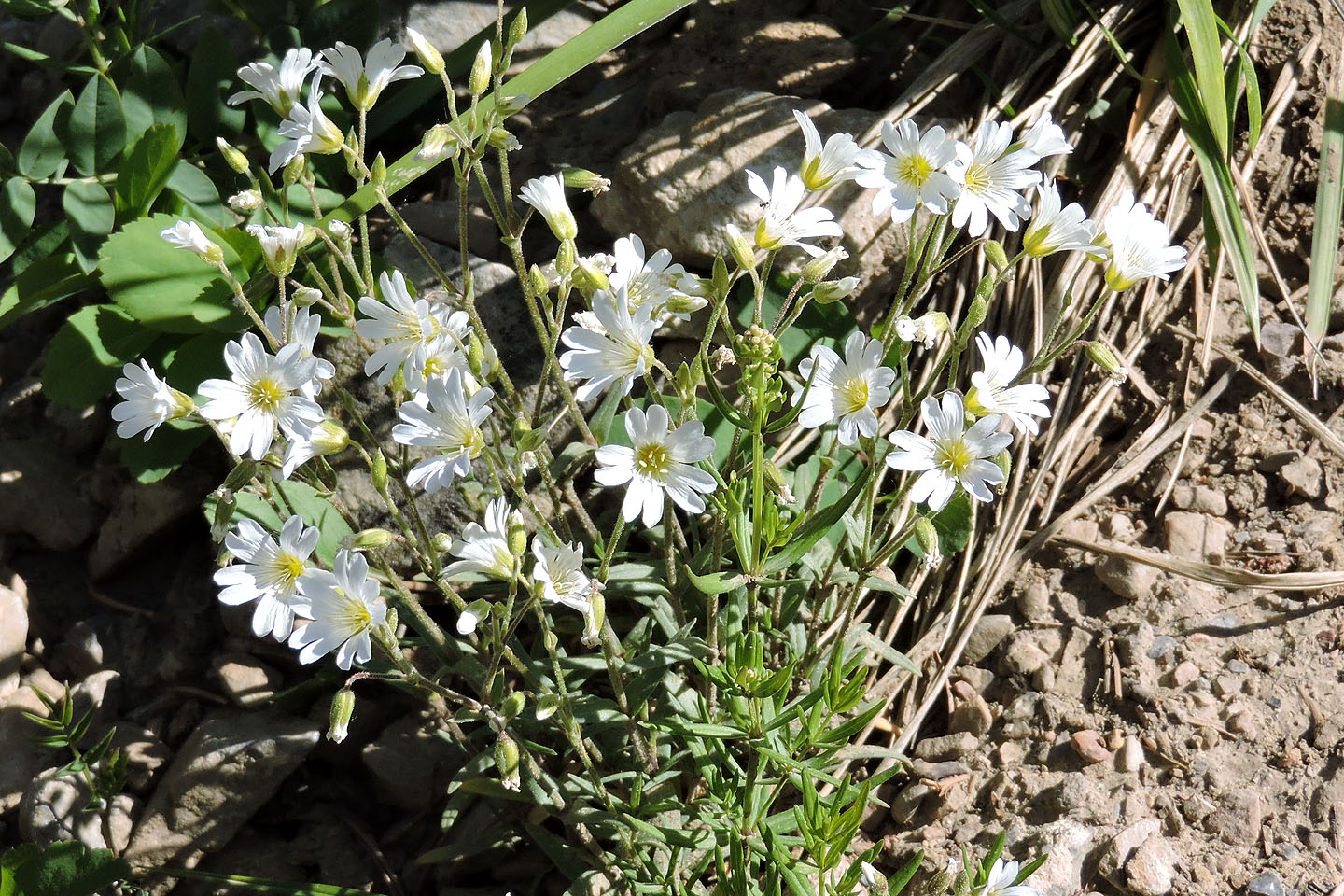
Chickweed
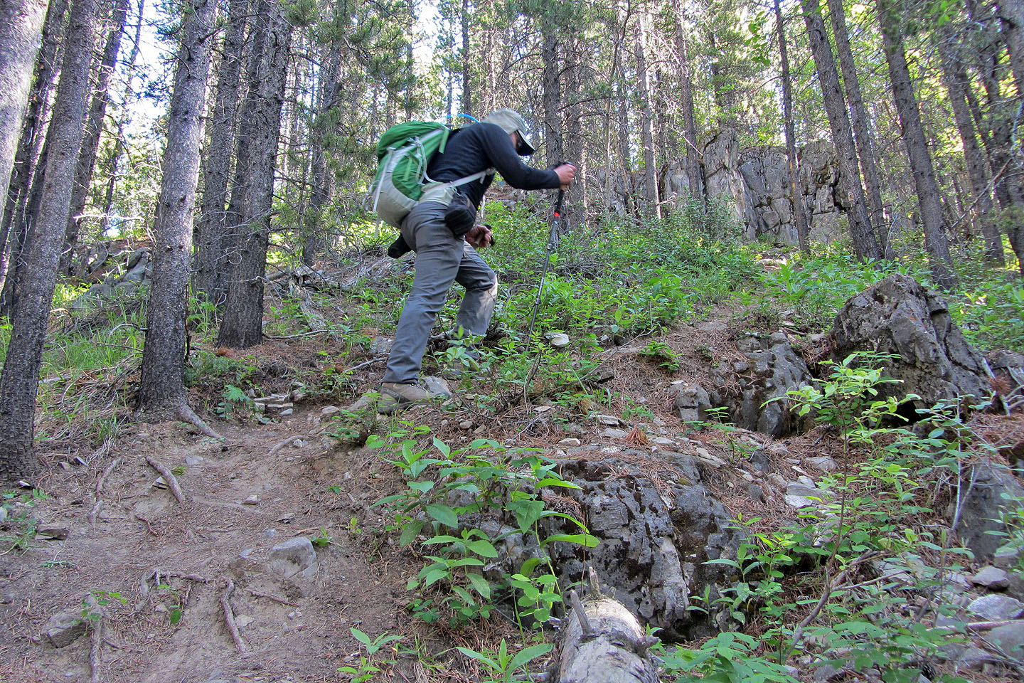
Typical hiking in the trees
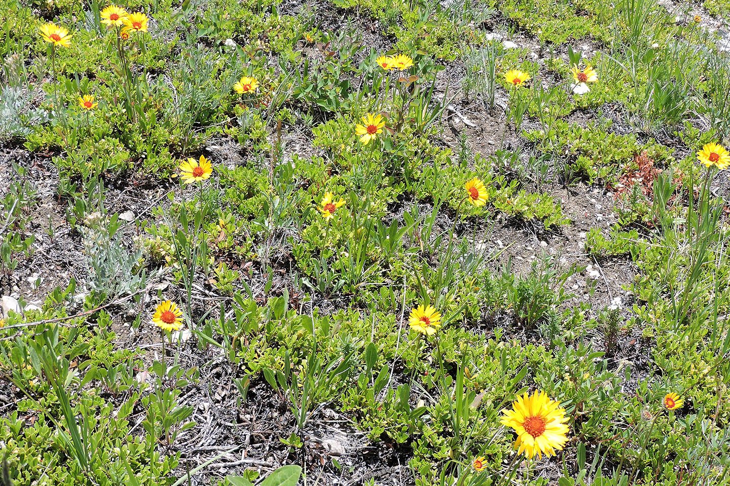
Brown-eyed Susan
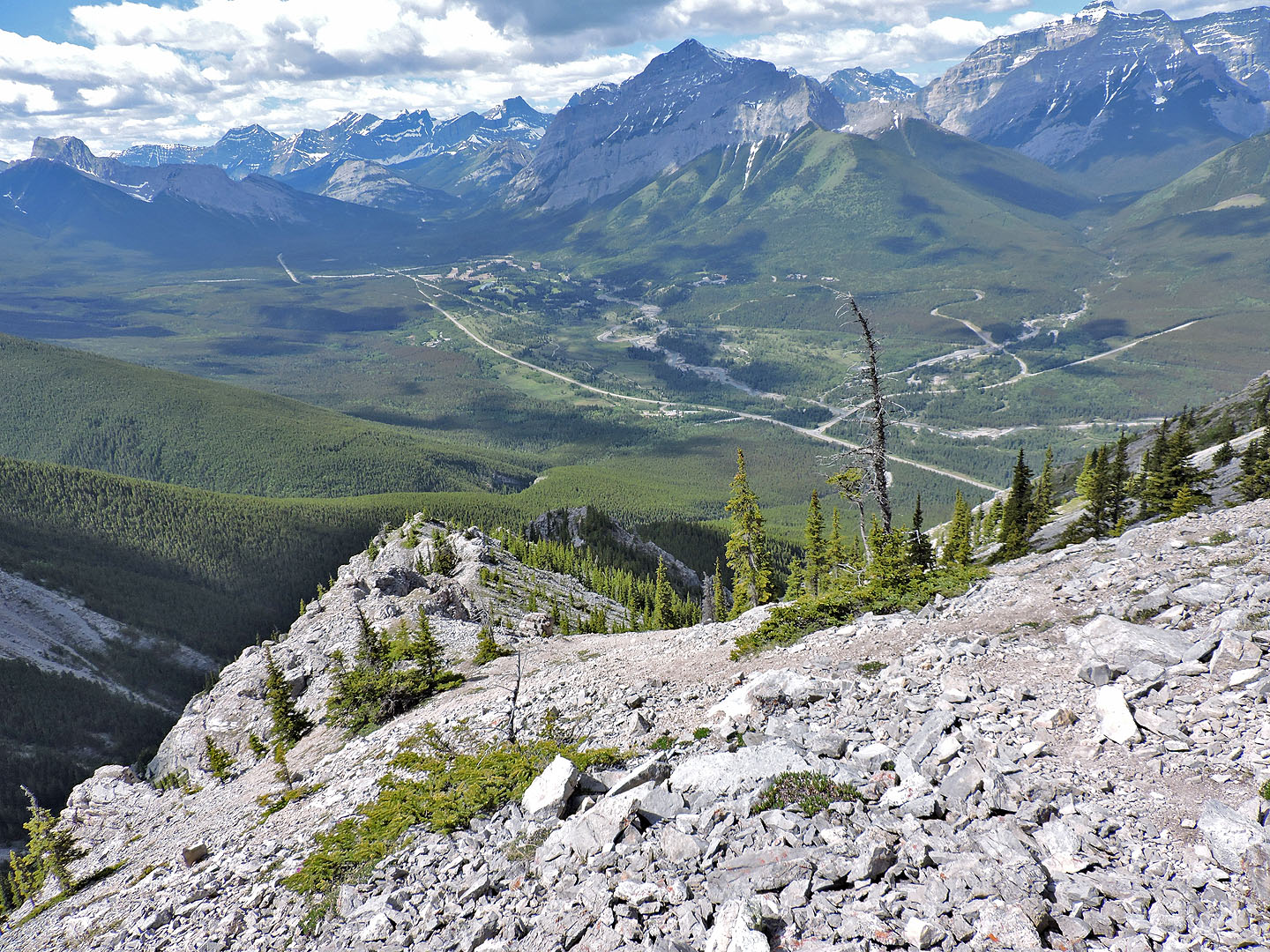
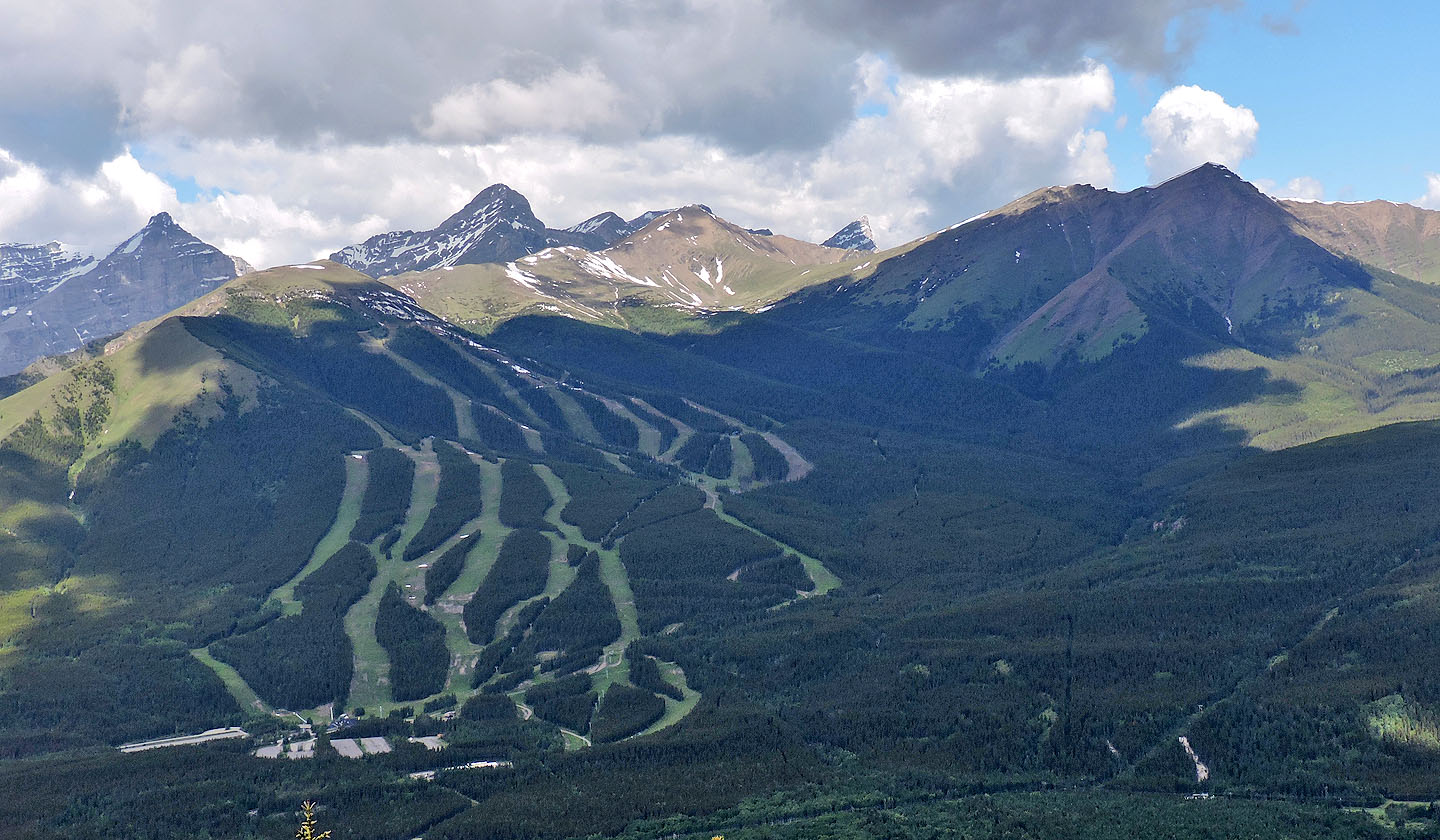 To the west is Mount Allan (centre)
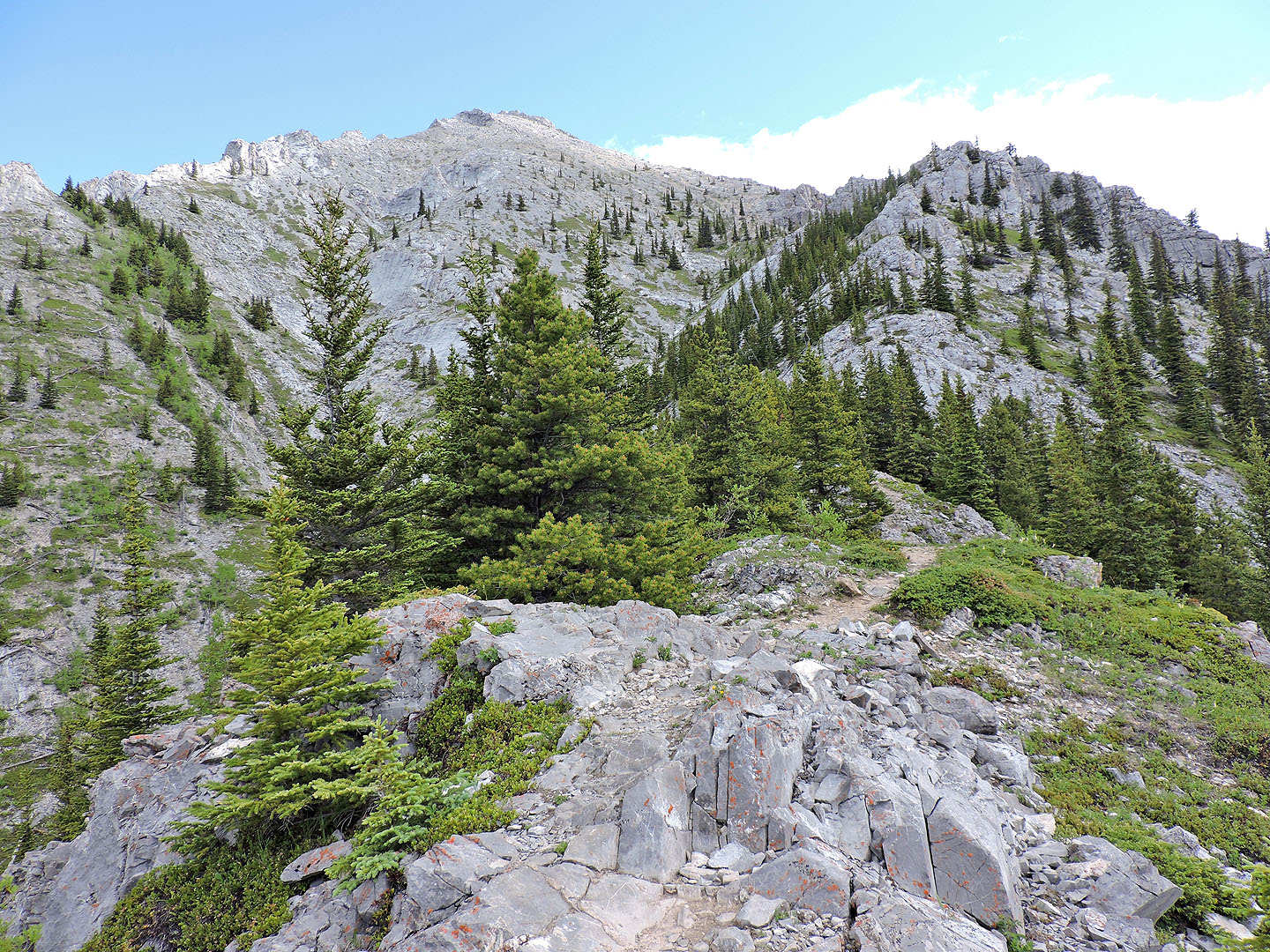
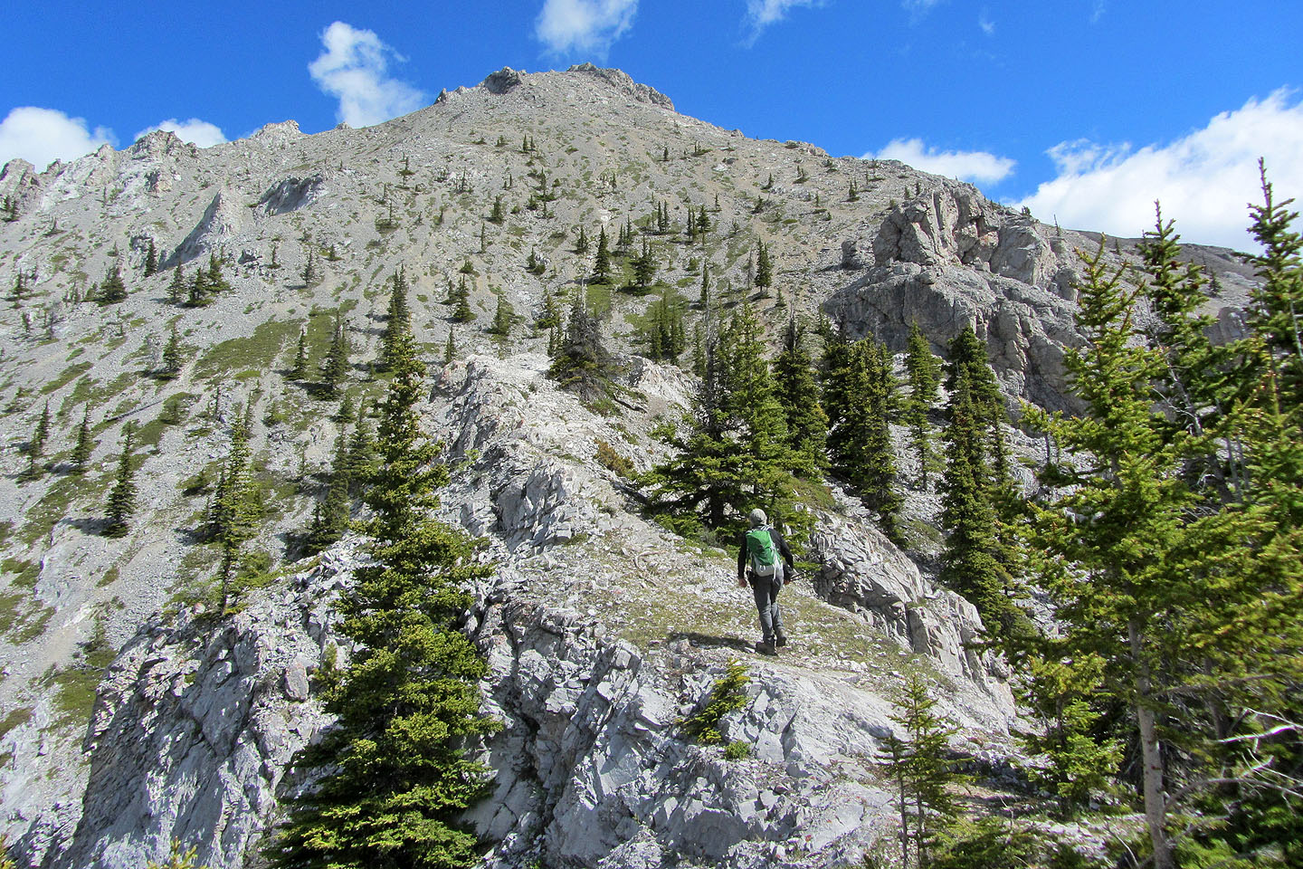
The trail continues up the ridge on the right and then closely follows the skyline to the false summit. The true summit is only five minutes from there.
Looking back along the ridge trail. Mount Kidd in the background.
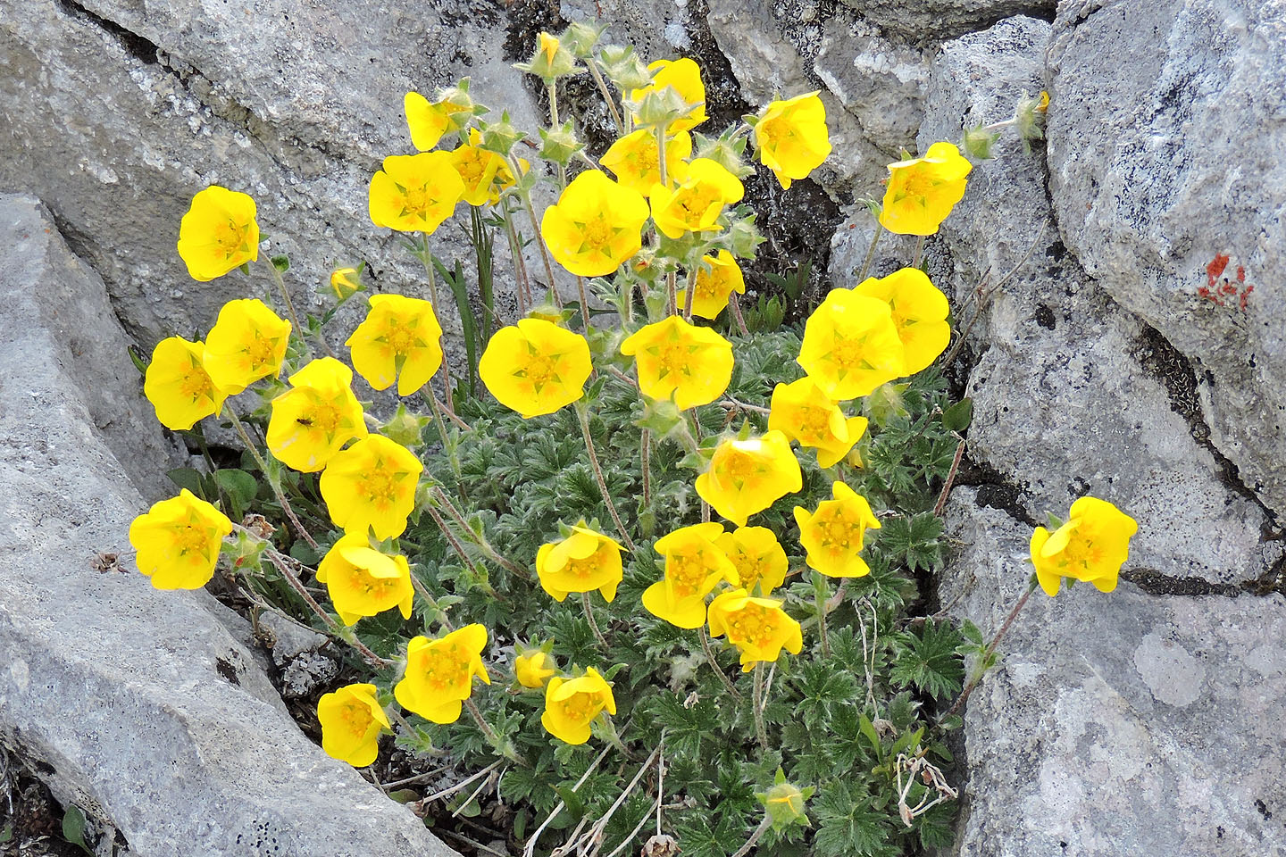
Cinquefoil
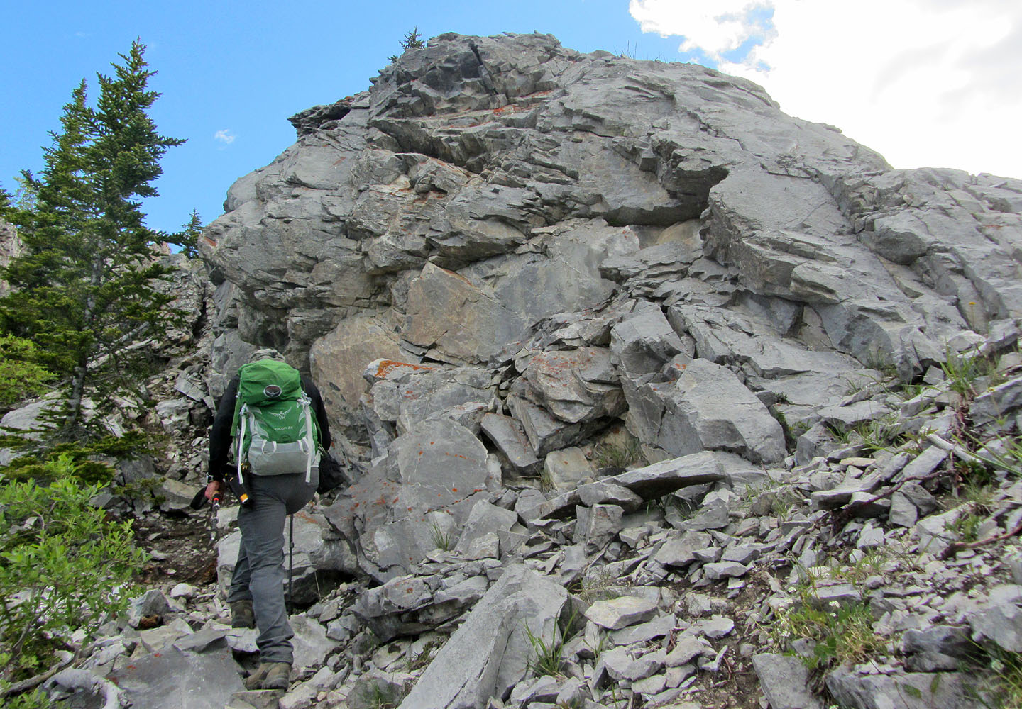
There are a few places where one can scramble up instead of staying on the trail
There's a short drop after this point
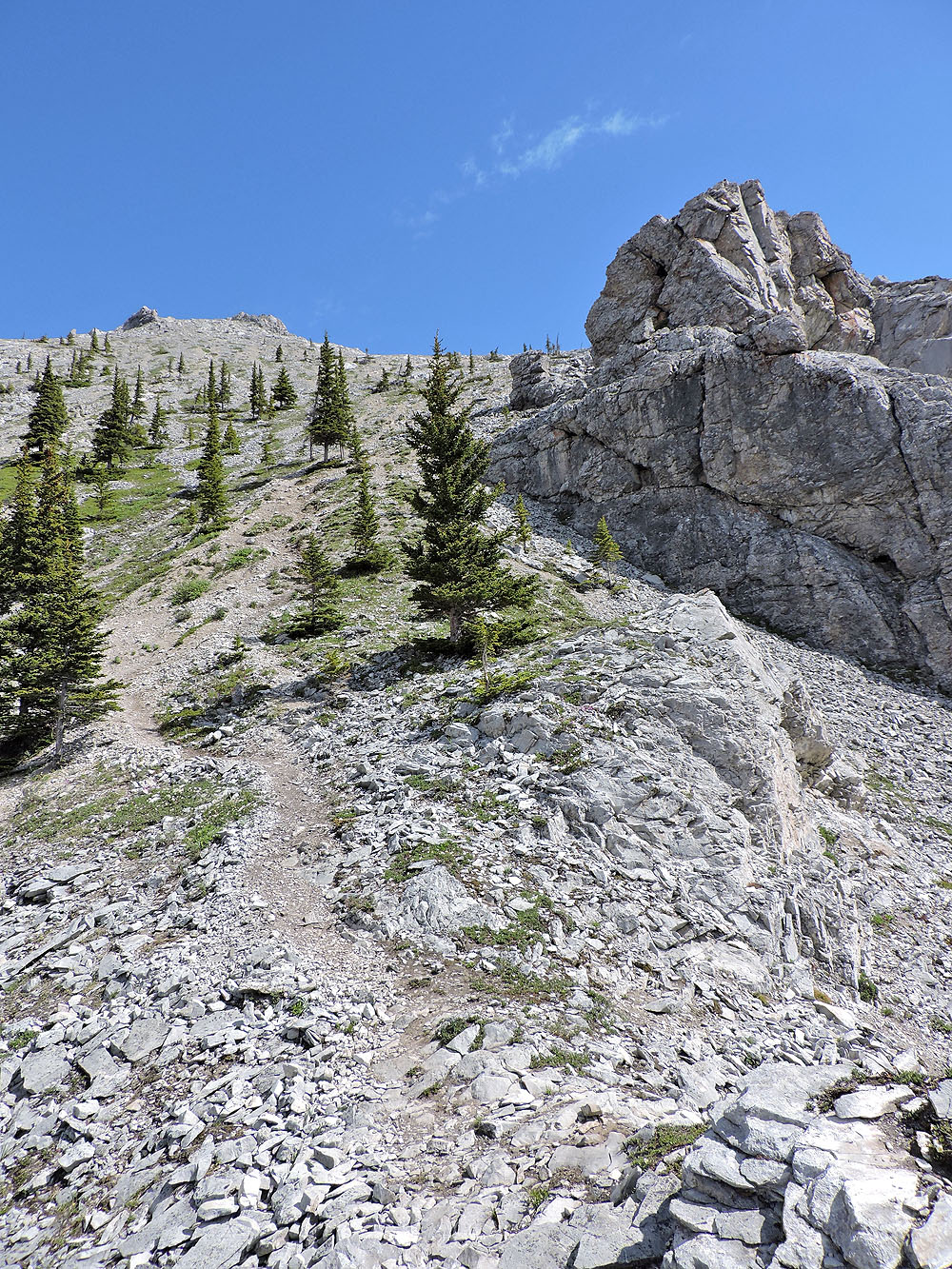
A scree trail leads to the false summit
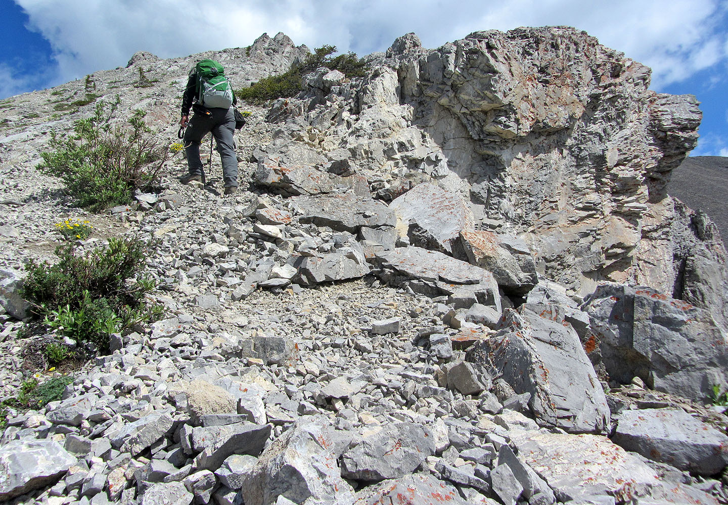
The steepest section of the entire route is ahead, just below the false summit
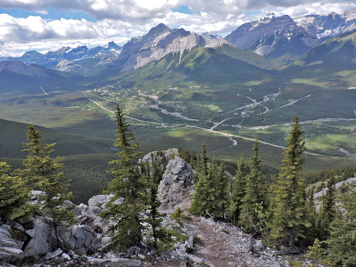
Looking back
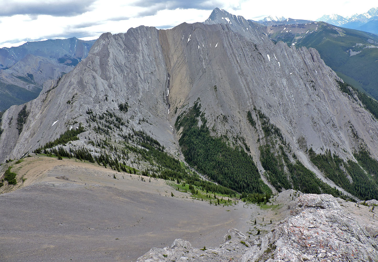
Across the valley is Kananaskis Peak
On the ridge one can scramble to the false summit or hike around on the left side
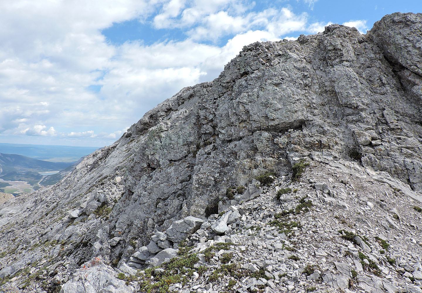
Just before the summit, there's a short, narrow ridge. The cairn is on the right.
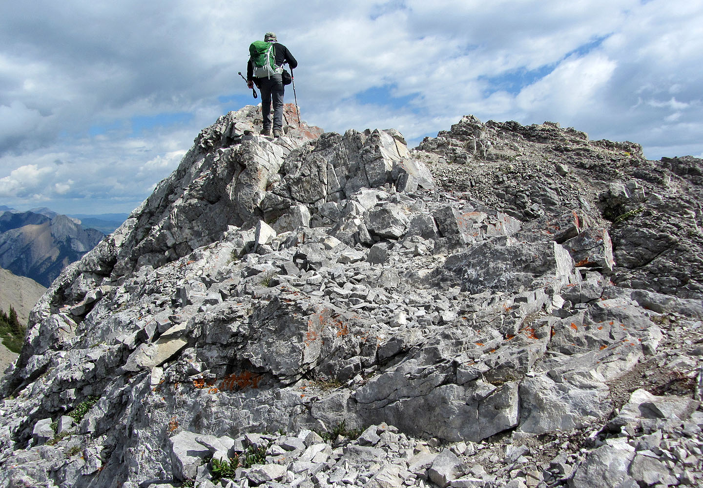
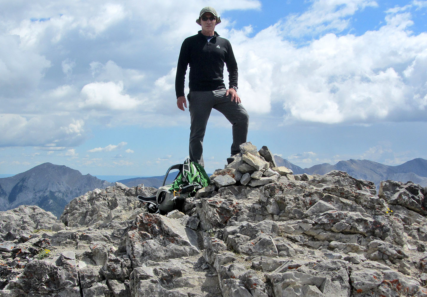 Standing on the summit
82 J/14 Spray Lakes Reservoir