bobspirko.ca | Home | Canada Trips | US Trips | Hiking | Snowshoeing | MAP | About
Upper Canyon Creek Peak 418428
Kananaskis, Alberta
May 29, 2006
It was hardly a propitious day for a trip given the recent snowfall in the mountains and rain in the forecast. I waffled for a time before packing up and heading to Sibbald Flats. Perhaps, I thought, the forecast would be wrong.
And it was wrong, at least for the area I was in. Although surrounded by cloudy skies in all directions except south, I enjoyed a mix of sun and cloud. Dark clouds appeared to bring rain to the north and east, and a thunderstorm came late in the day, but I never felt a drop on my trip.
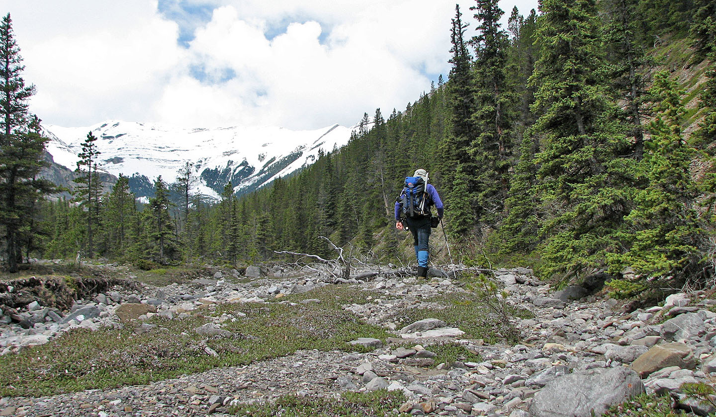
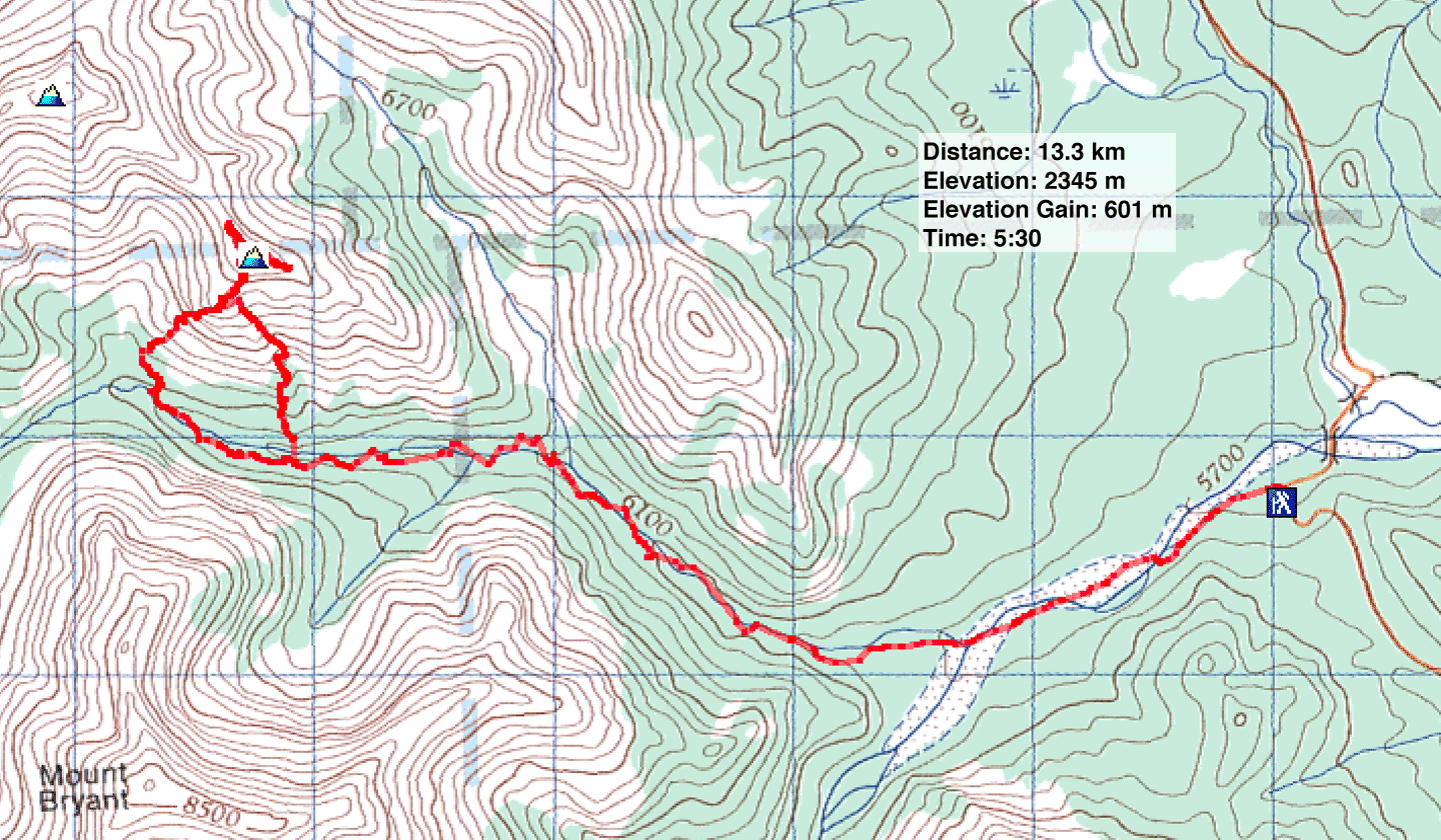
Originally I set out to climb Peak 409435 following the directions in the Kananaskis Country Trail Guide. I followed the creekbed until I reached a likely place to ascend. Unfortunately I left the creek prematurely, perhaps by 100-200 m. I didn't think this would be a problem but after climbing above the trees and wending left I realized I was on the wrong side of a deep drainage, a drainage that doesn't show on the map. I was considering dropping down and getting to the other side when I realized I hadn't brought any water! A long trip without water was out of the question. I decided to keep climbing and see where it would take me.
I soon reached the snow line. There was a surprising amount of snow but it was melting fast. For a while, I avoided the snow-covered scree and scrambled on dry slabs, but when it became too steep, I ventured left onto the scree and snow. Eventually I came to a ridge that led to a minor summit – a double summit – an outlier of the peak I had hoped to climb. I explored the ridge for a ways and discovered a shortcut that would take me directly and easily down to the creekbed. Possibly I could have taken the SE ridge all the way back to the creekbed for a more direct route, but without water and with the possibility of getting caught in a thunderstorm, I didn't dare take a chance of being stopped by a cliff band.
The walkout was uneventful, although I was slightly thirsty. In one spot, water had collected in some rock depressions. I drank from the smallest one reasoning it should contain fresh rainwater.
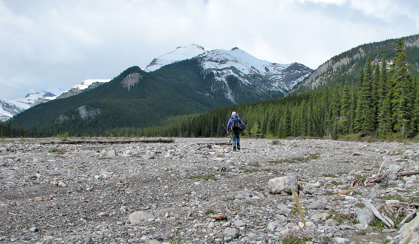
Setting off across Upper Canyon Creek flats with Mount Bryant ahead
After taking the right fork, Peak 418428 appears
Behind me is Compression Ridge
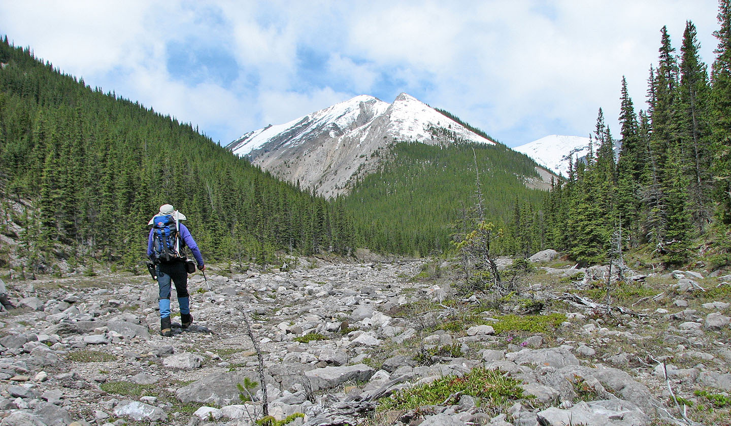
After going left at the next fork, I headed toward the end of the valley
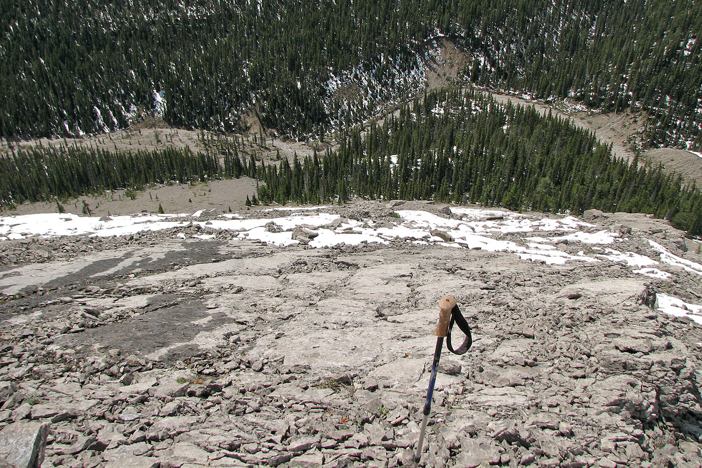
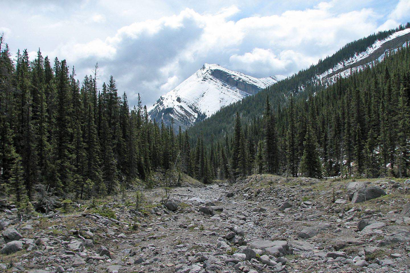
Looking down at the creekbed after starting my ascent
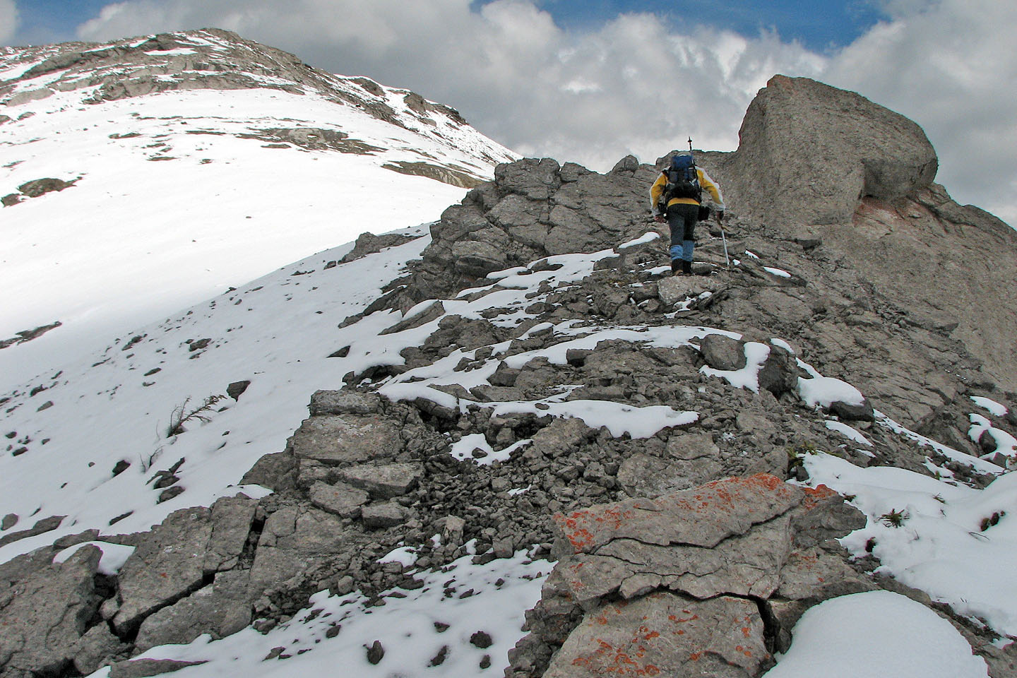
After gaining the SE ridge, I hiked to the summit
The view looking back a short time later shows my tracks in the snow
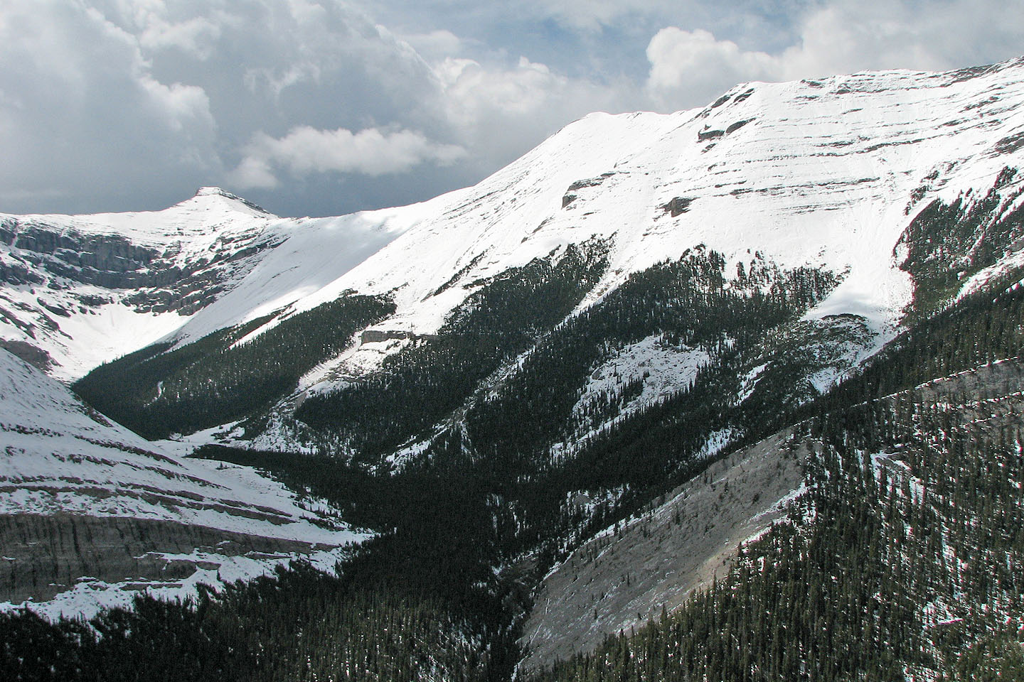
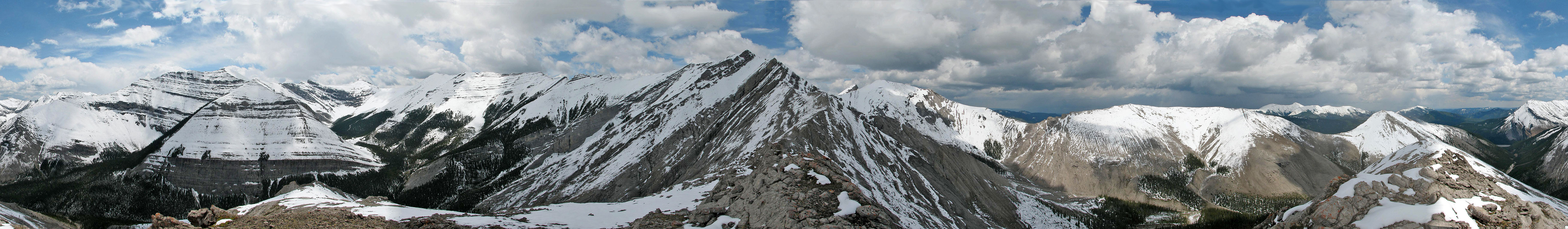
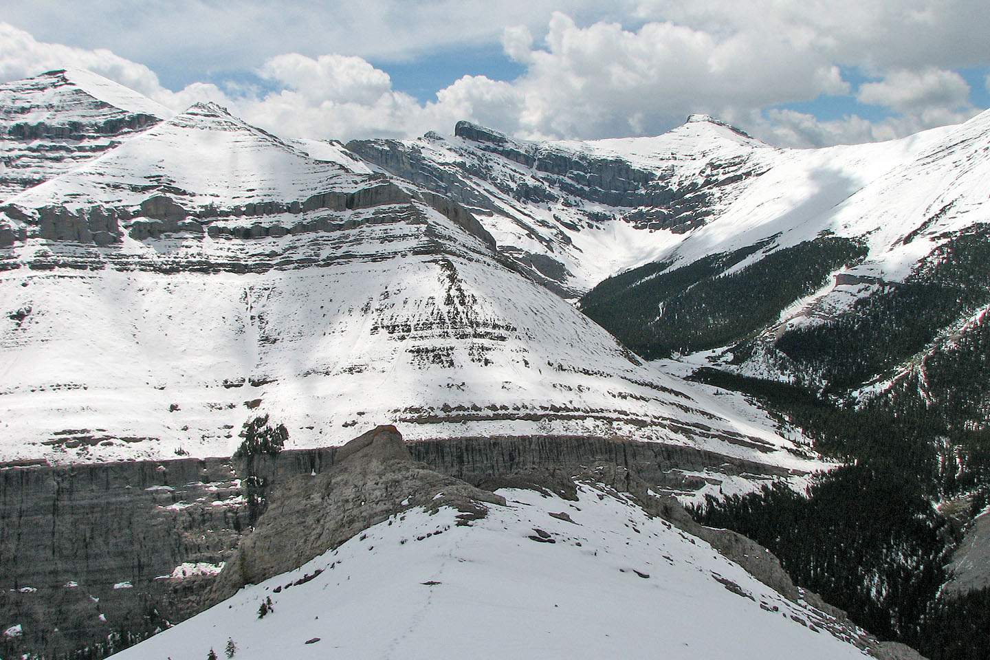
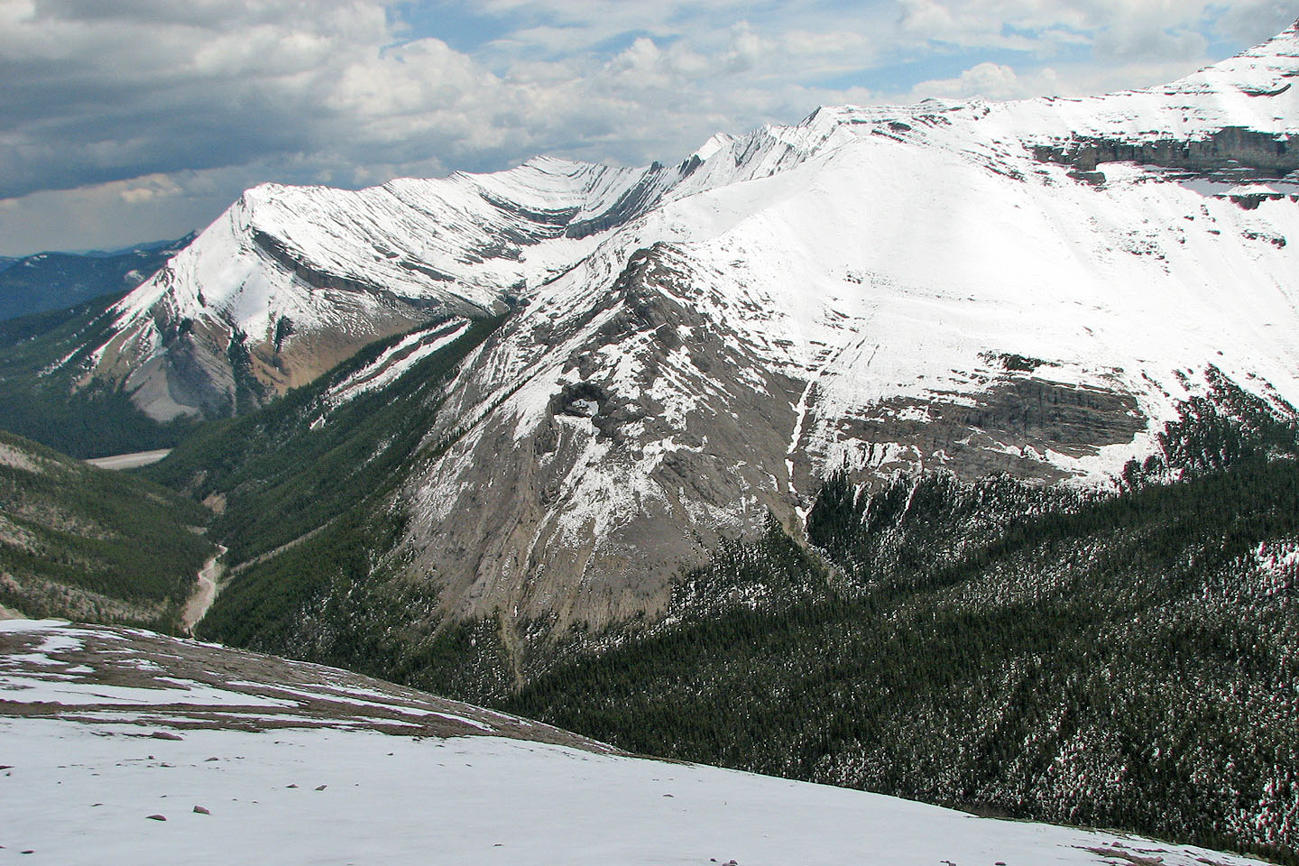
View across the valley. Seven years ago I ascended the snow-covered peak right
of centre, 404405.
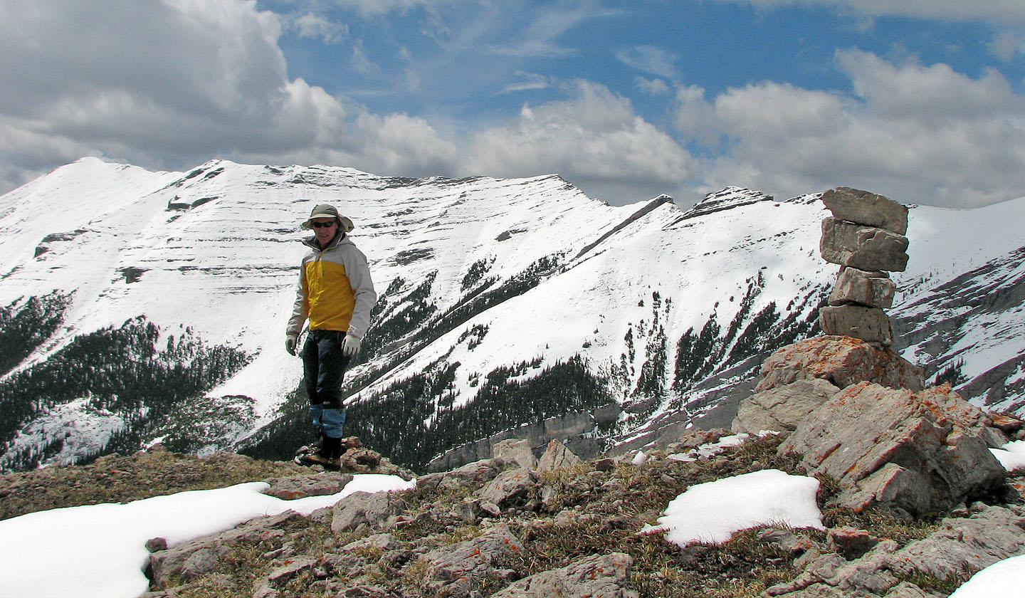
On the summit I was surprised to find a small cairn
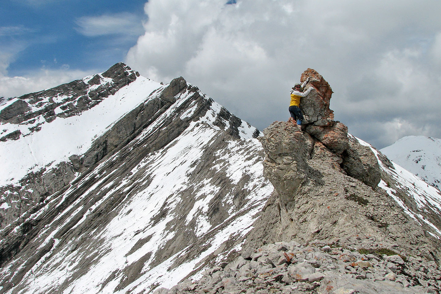
I tried to climb a pinnacle near the summit. Peak 409435 on the left.
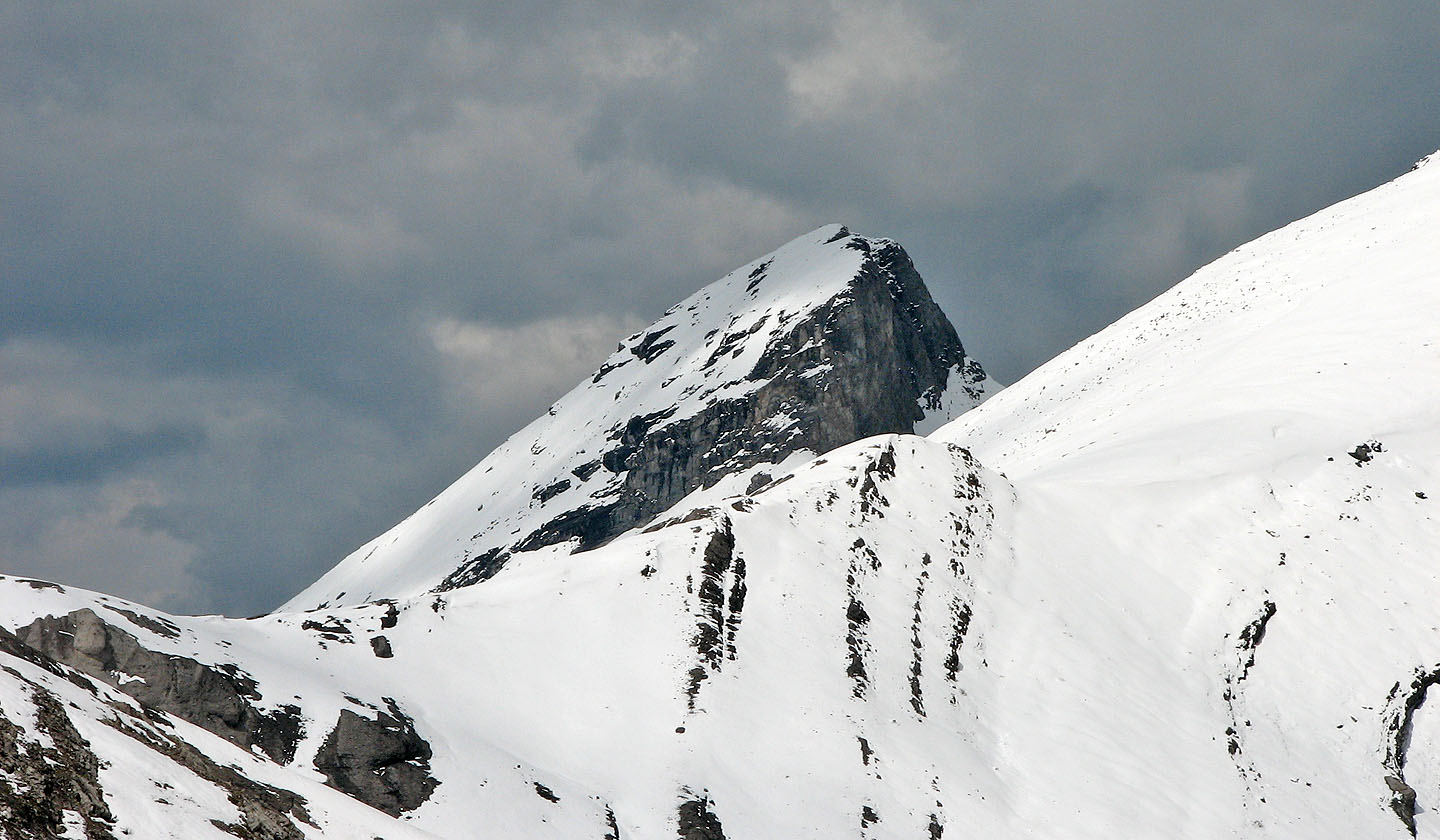
Tiara Peak
Compression Ridge
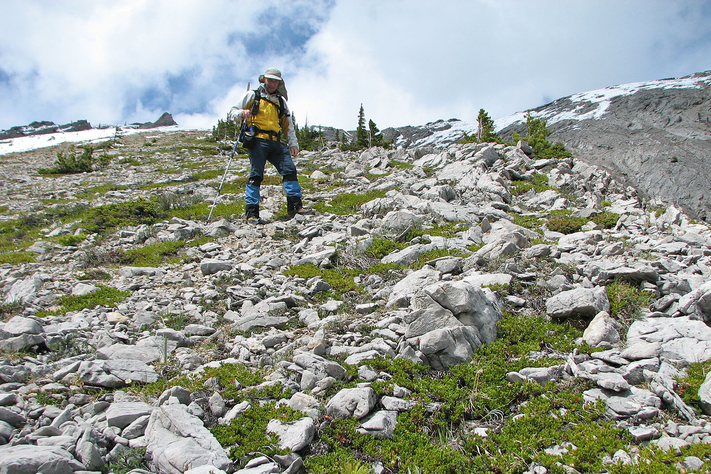
Taking the shortcut. The two rock bumps on the right are the summit.
I descended from the rocks on the left (Mouse over for a view from the creekbed)
82 J/15 Bragg Creek