bobspirko.ca | Home | Canada Trips | US Trips | Hiking | Snowshoeing | MAP | About
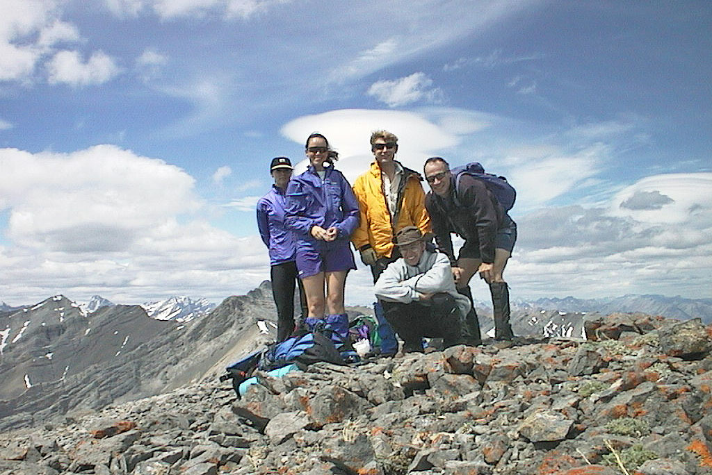
Upper Canyon Creek, Peak 402355
Elevation approx. 2650 m
June 20, 1999
A week after hiking up the north fork of Upper Canyon Creek, we returned to hike up the south fork. The creekbed was wearisome, but it reached an picturesque valley. From the valley we were able to ascend an unnamed peak lying 2 km northeast of Mount Howard.
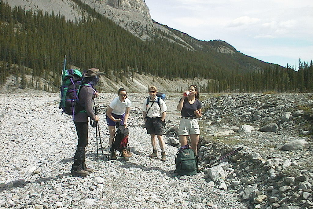
Pete, Jackie, Philip and Lori on the creekbed
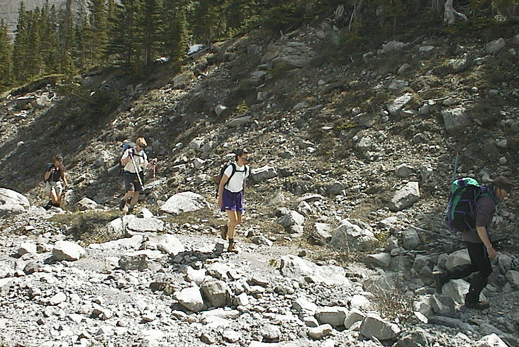
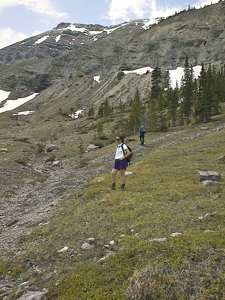
Hiking up the south fork
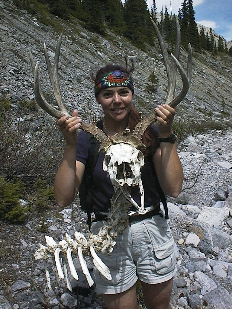
Lori poses with a slack-jawed deer
In the valley
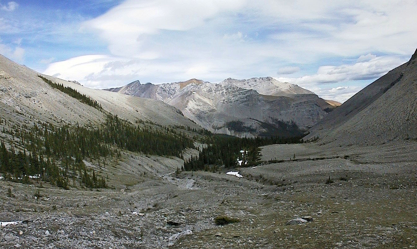
Looking back down the valley
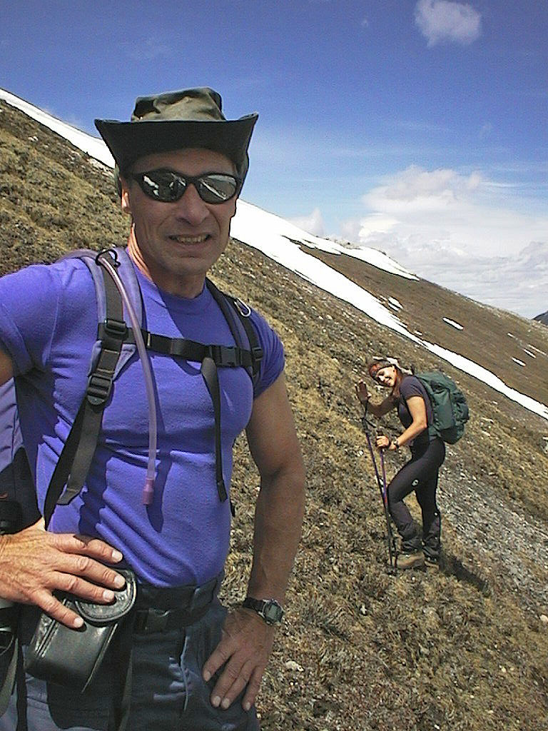
As we climbed, I stopped for a photo while Lori waves in the background
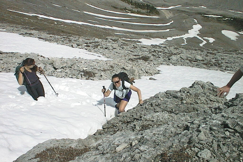
Lori and Jackie negotiating deep snow
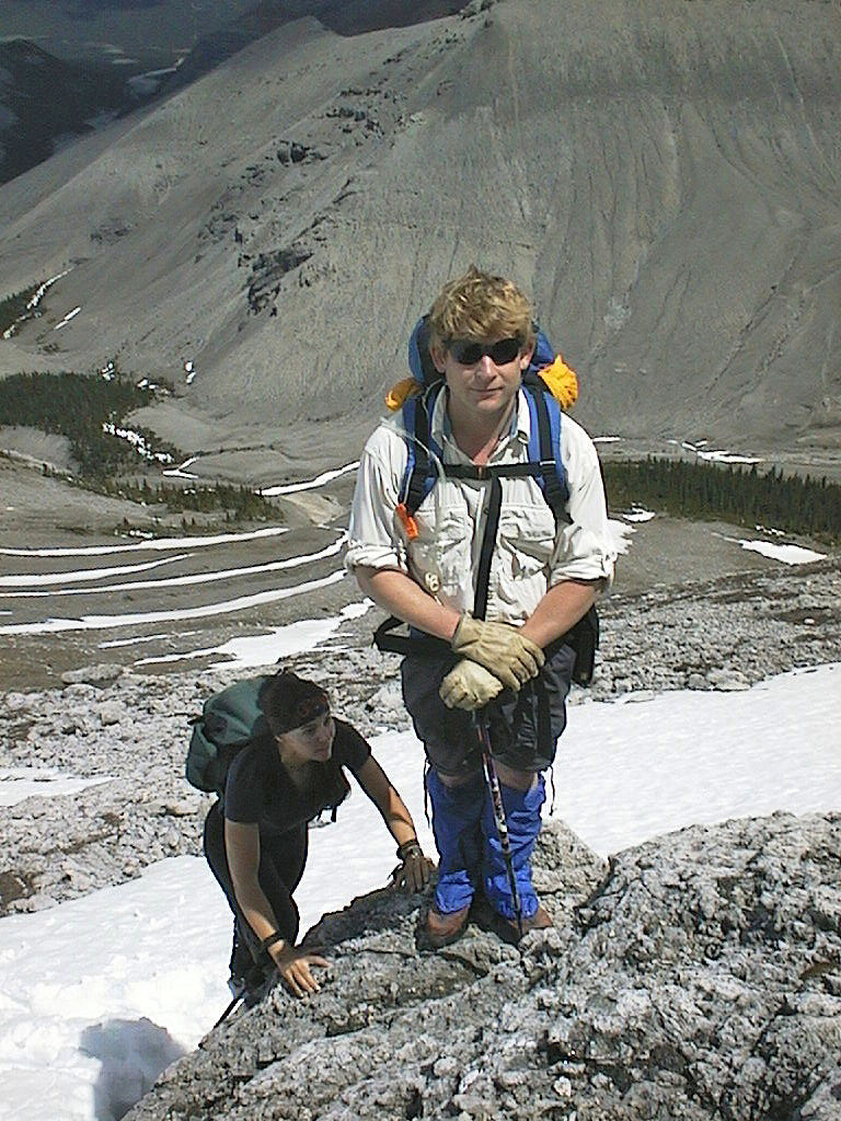
Phil stops for a photo
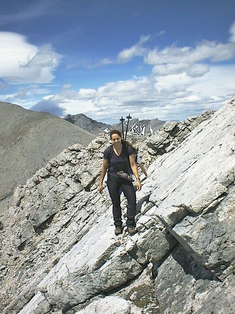
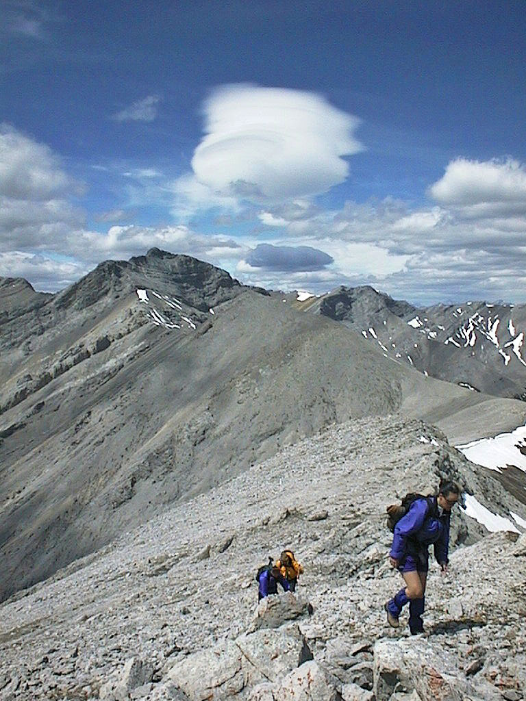
Lori crosses rock slabs
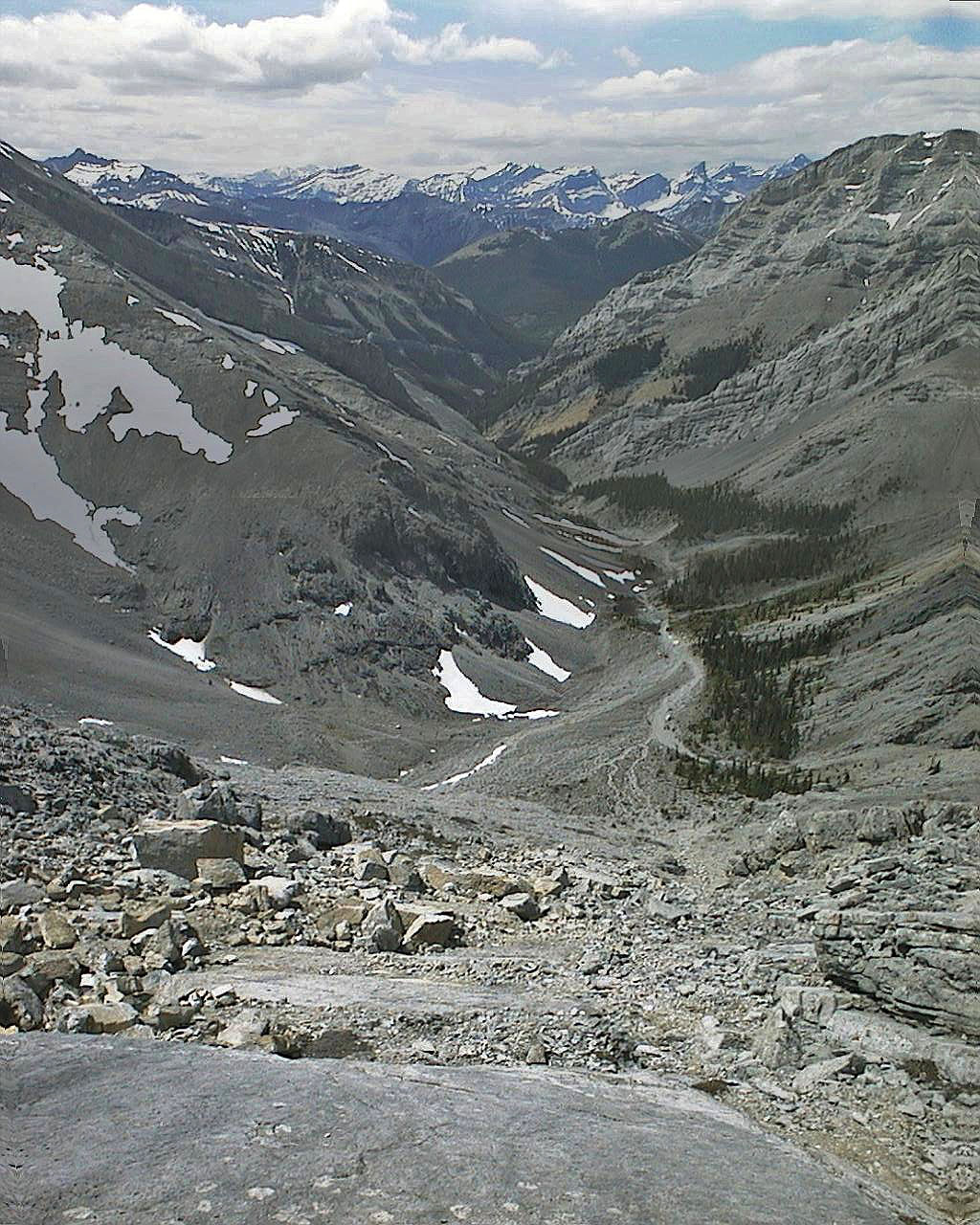
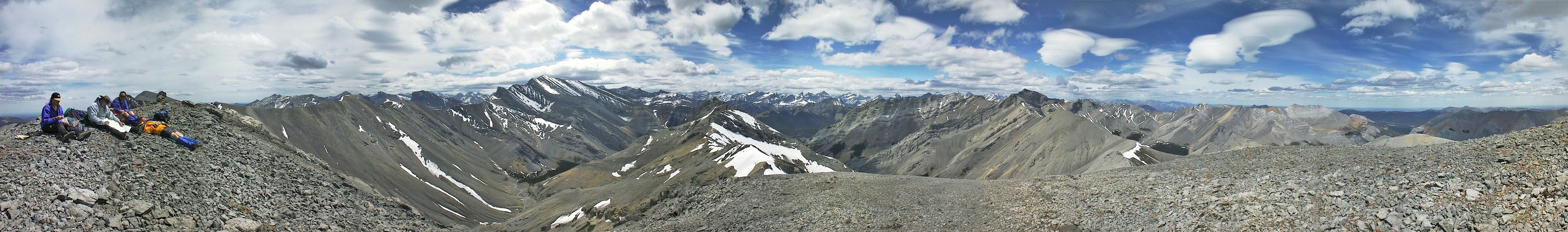
View to the west from the ridge
Mount Howard lies southwest
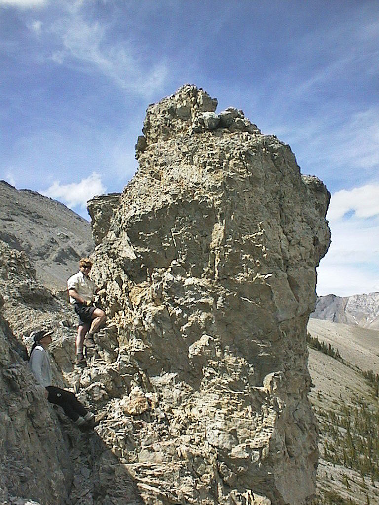
Some interesting rock forms in the area, such as this pinnacle ...
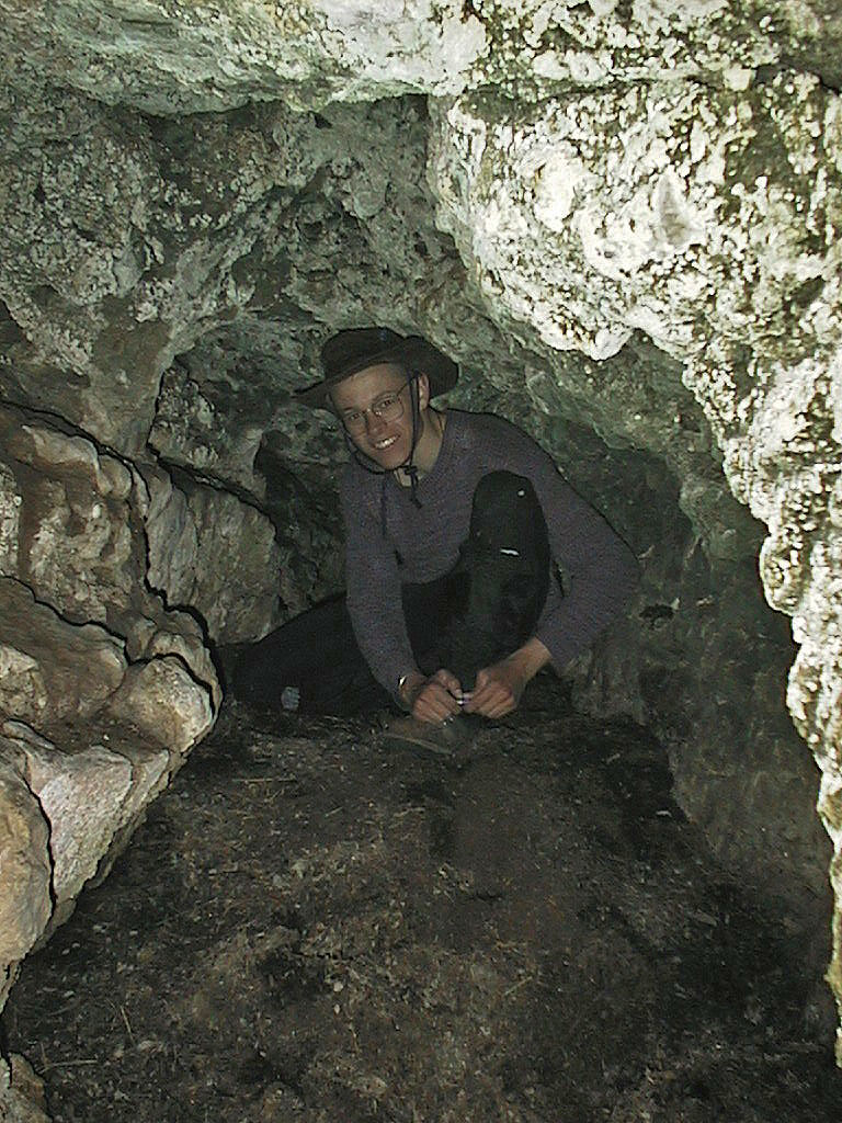
... and this cave