bobspirko.ca | Home | Canada Trips | US Trips | Hiking | Snowshoeing | MAP | About
Shunga-la-she
Kananaskis, Alberta
November 3, 2001
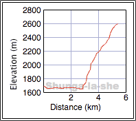
The name alone, Shunga-la-she, was enough to attract my interest. I hadn't any information on climbing it, but I had studied the peak a week early from the east ridge of Mount Burns. As I expected, Shunga-la-she is a straightforward scramble with enough changing scenery to make it an interesting and worthwhile trip late in the season.
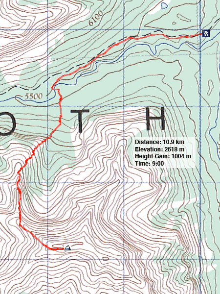
From the Bluerock parking lot, Gert, Vic, Dinah and I headed west on an old road. After about 30 minutes (2 km), we dropped down on the left side and crossed the Sheep River where a river bend comes close to the road (581074). After climbing up a gully, we followed the ridge on the right side and made our way up to some huge but inaccessible caves. Above the caves, we headed right, up a treed slope until we popped out of the trees.
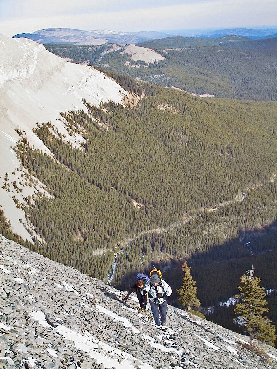
After several minutes of climbing, we emerged onto a scree slope. When we reached a cliff band, we skirted left to a weakness and scrambled up to the ridge. Once on the ridge, the way became clear, mostly a hike to the top.
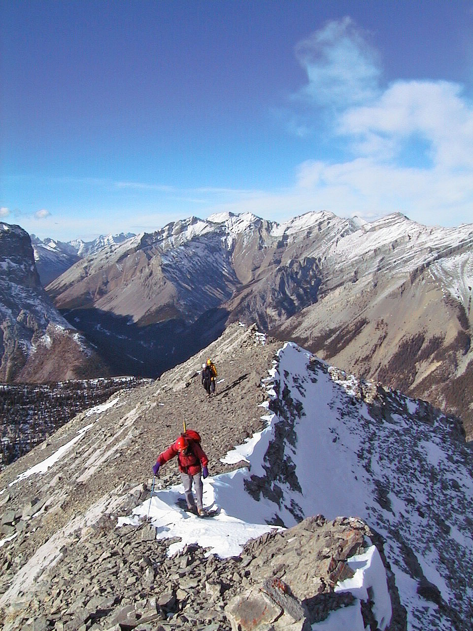
If we hadn't run out of daylight, we would have continued on to the higher unnamed peak at 569043.
Postscript: After the bridge over Sheep River was repaired in 2013, most parties start the ascent there before connecting with our route. See Sonny's route for details.
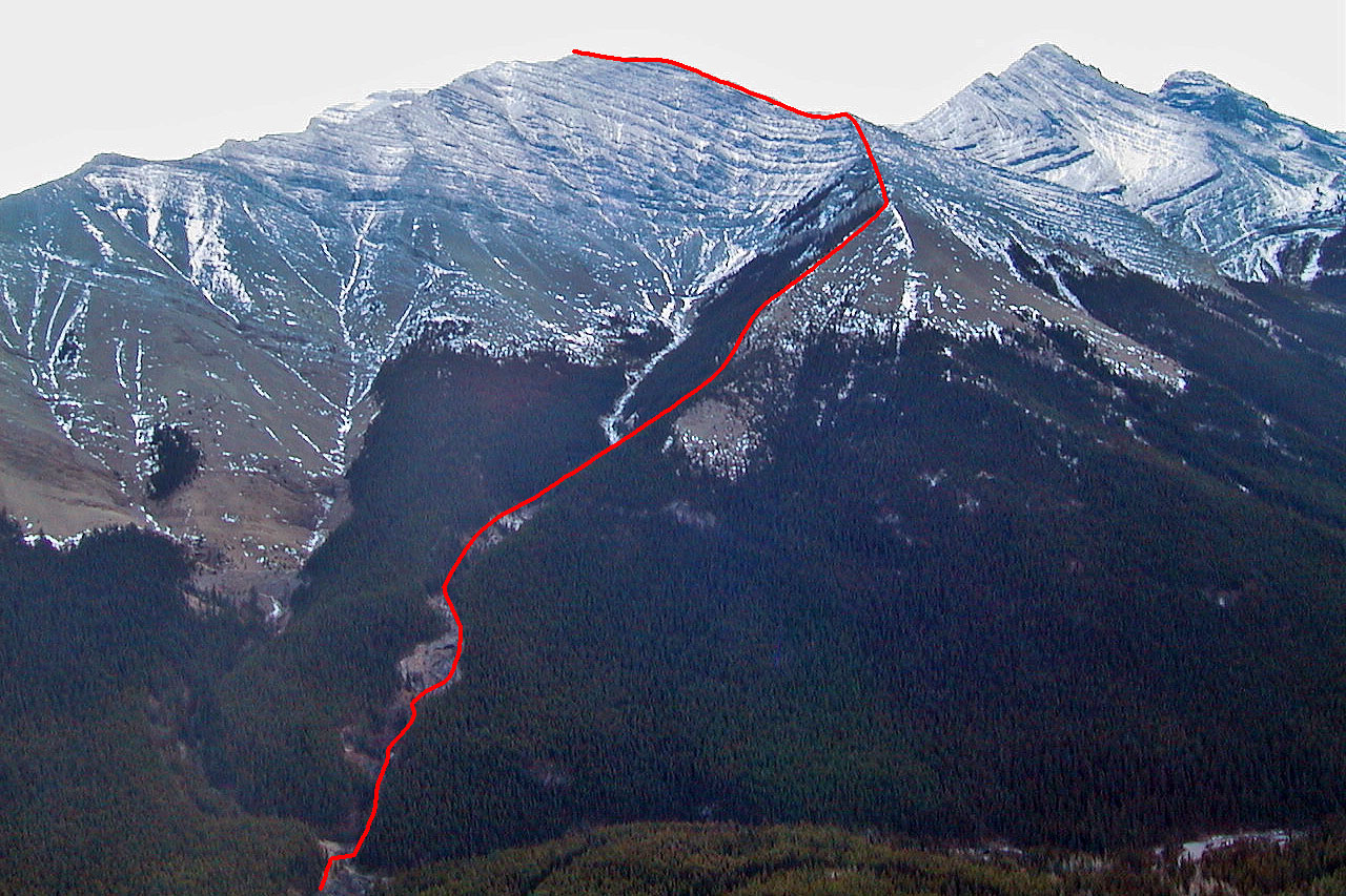
Our approximate route
Shunga-la-she from the road. The caves are at the bottom.
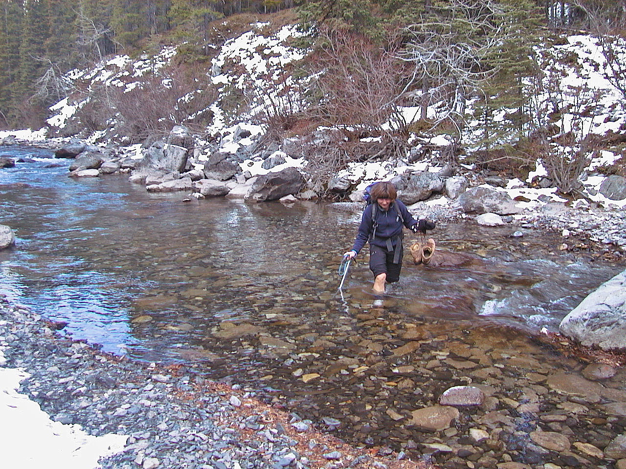
Dinah fords the Sheep River
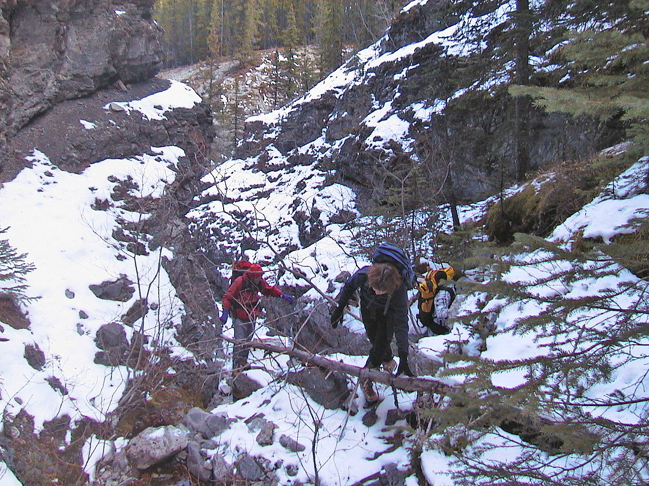
Making our way up the gully
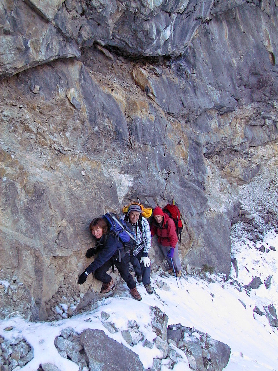
Climbing to the caves, Dinah, Vic and Gert exaggerate their fear of the exposure
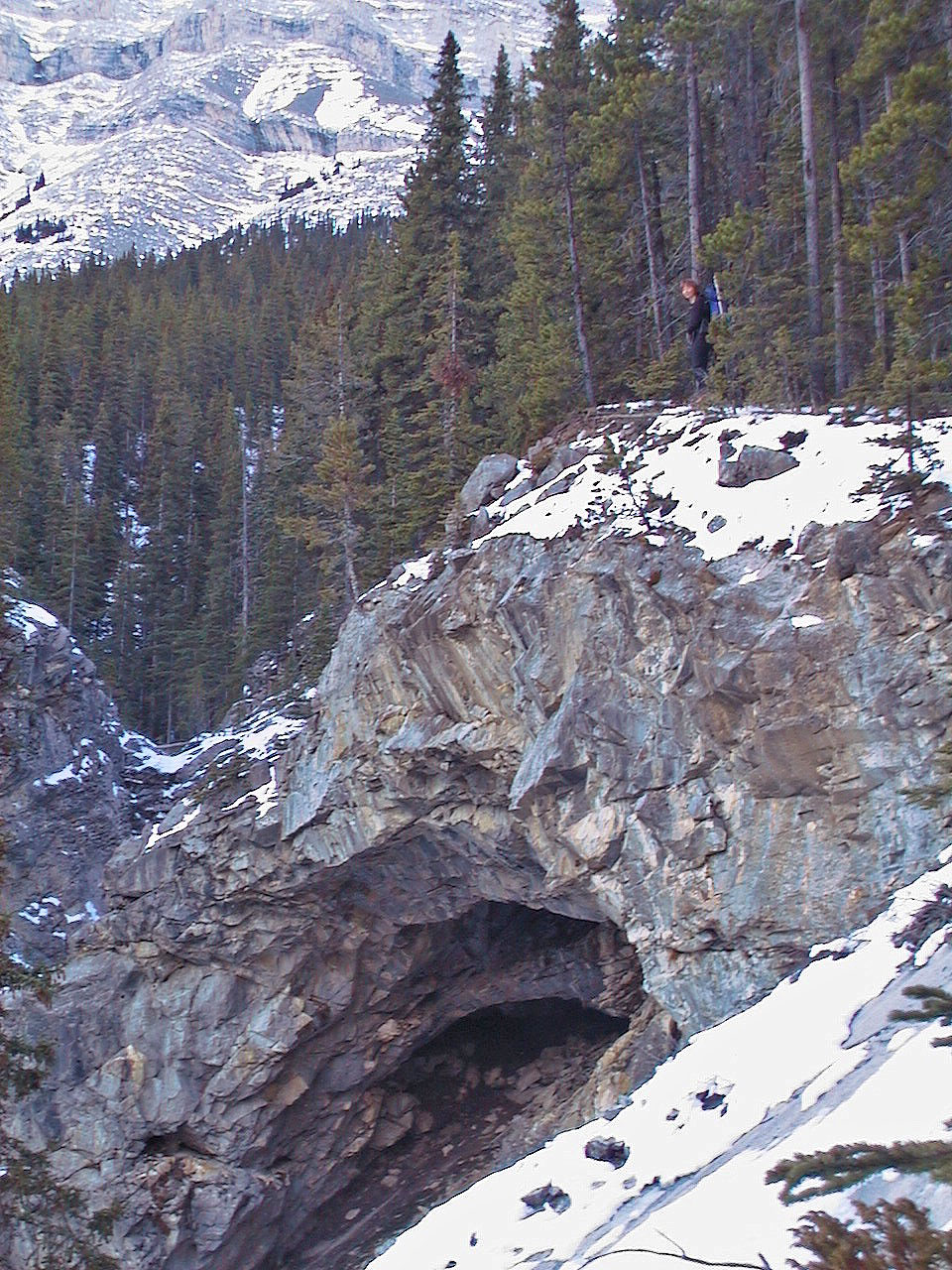
Dinah stands above one of the caves
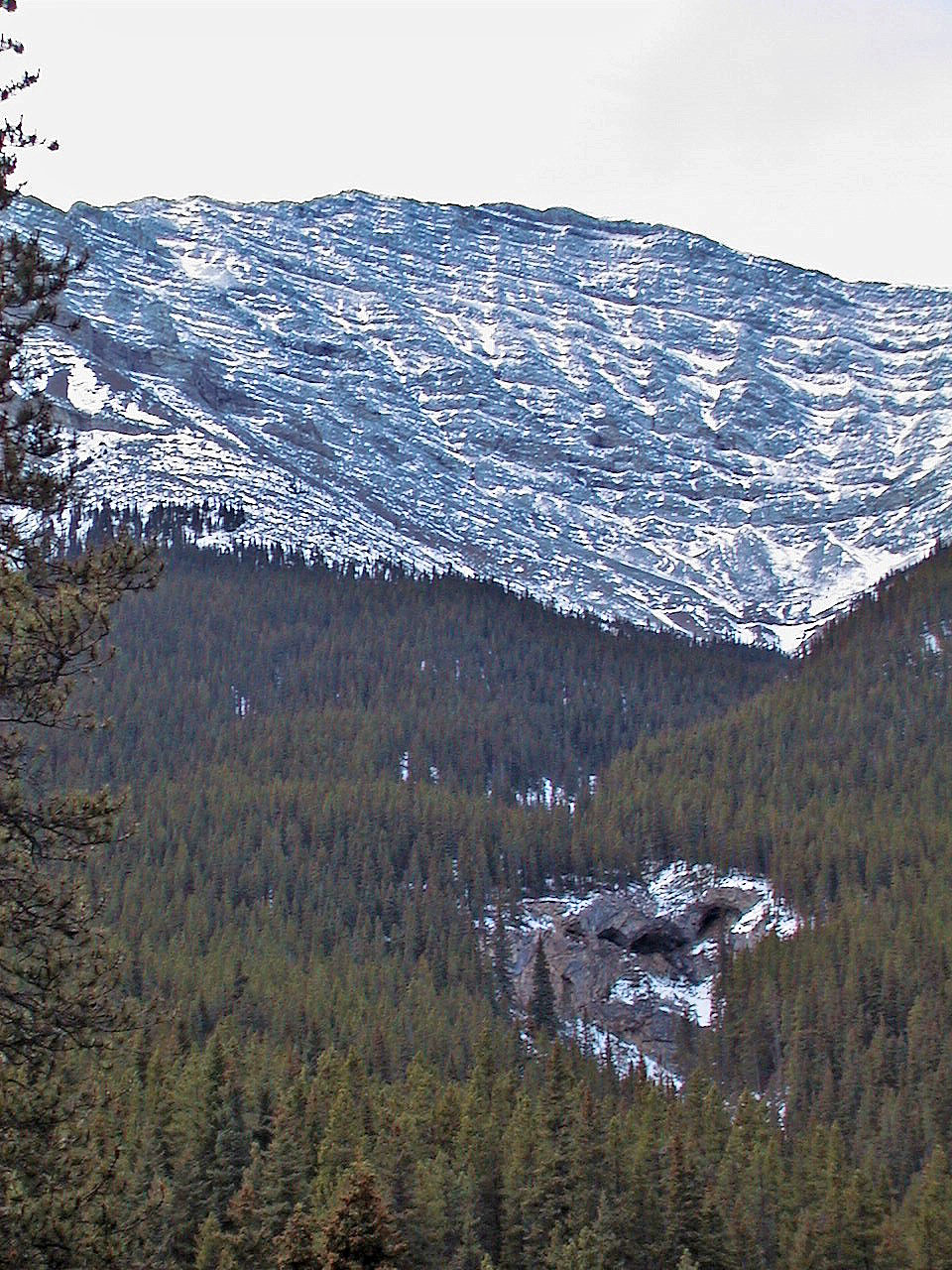
On the scree above the treeline
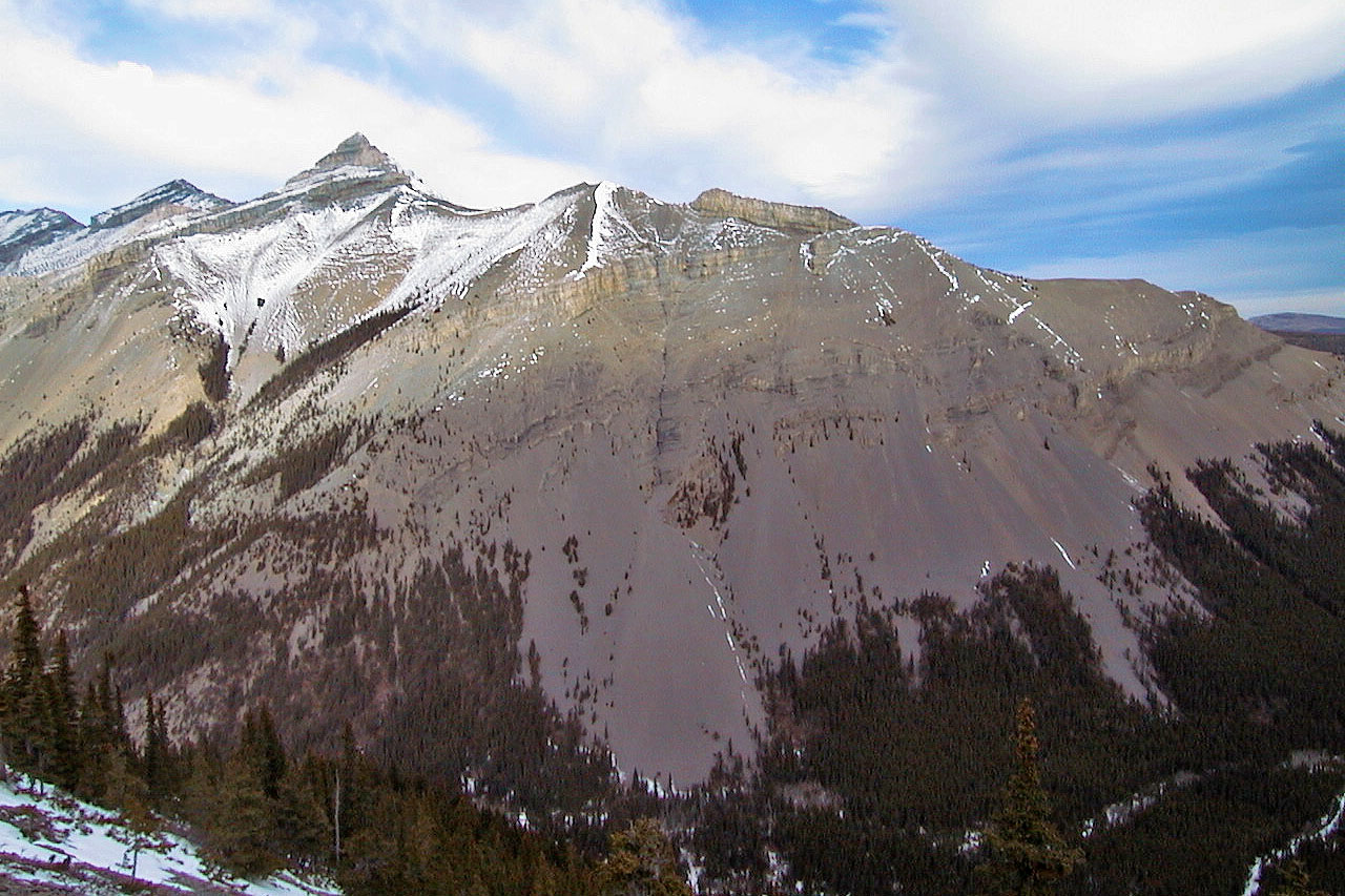
Across Sheep River is the east ridge of Mount Burns (mouse over for a close-up)
Skirting a cliff band. Gibraltar Mountain behind us.
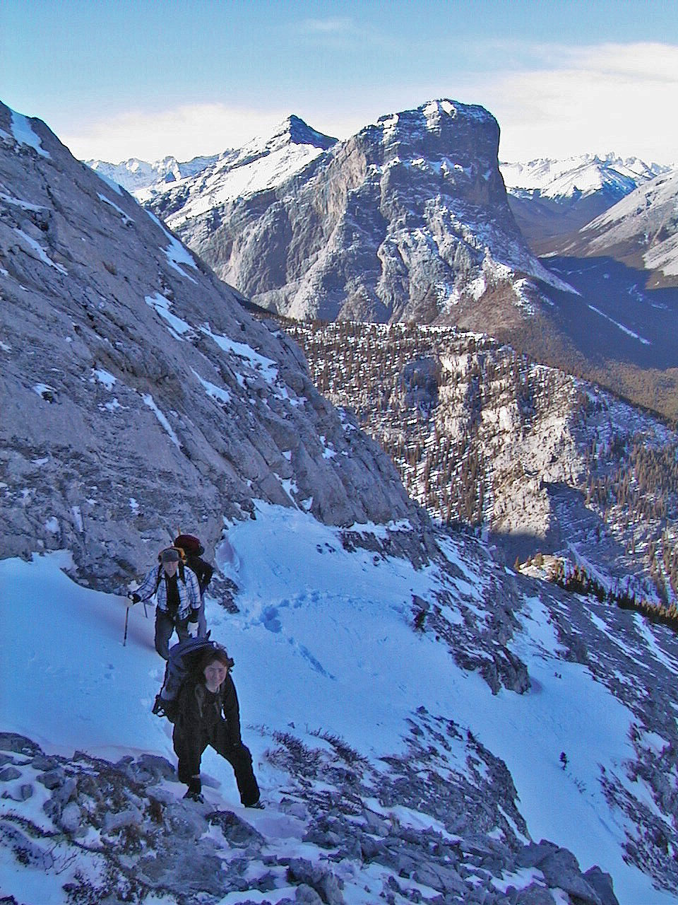
On the ridge
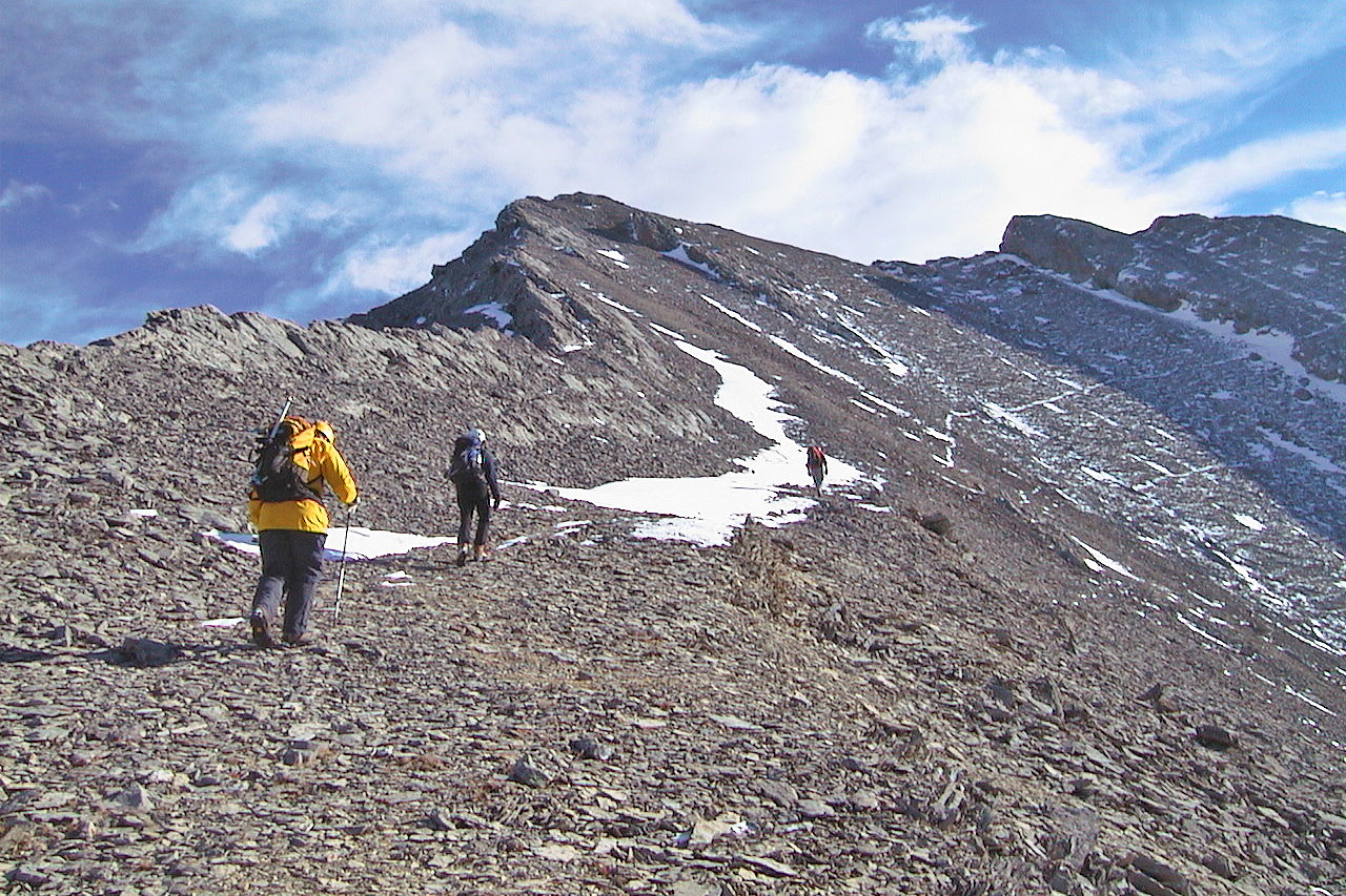
The false summit is in the centre. A sheep trail heads toward an unnamed peak (569043).
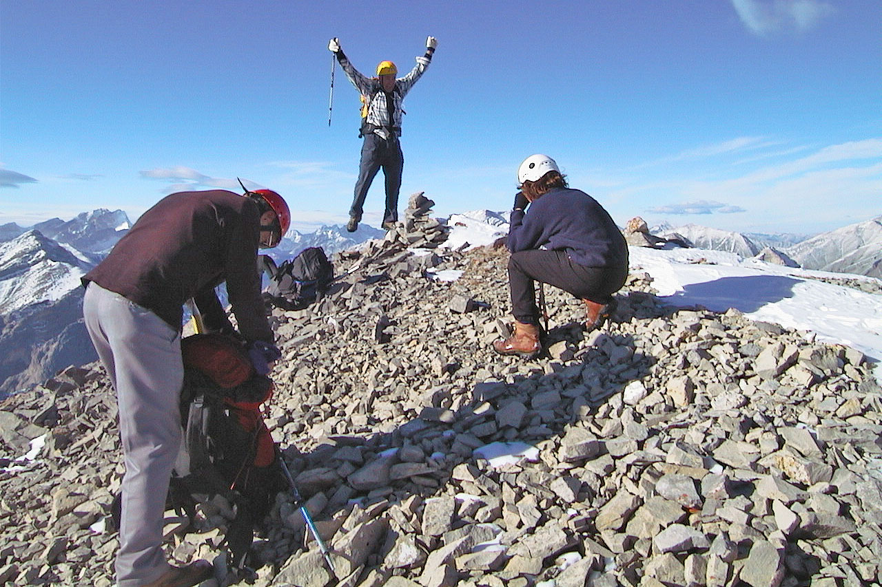
Vic jumps for joy on the summit
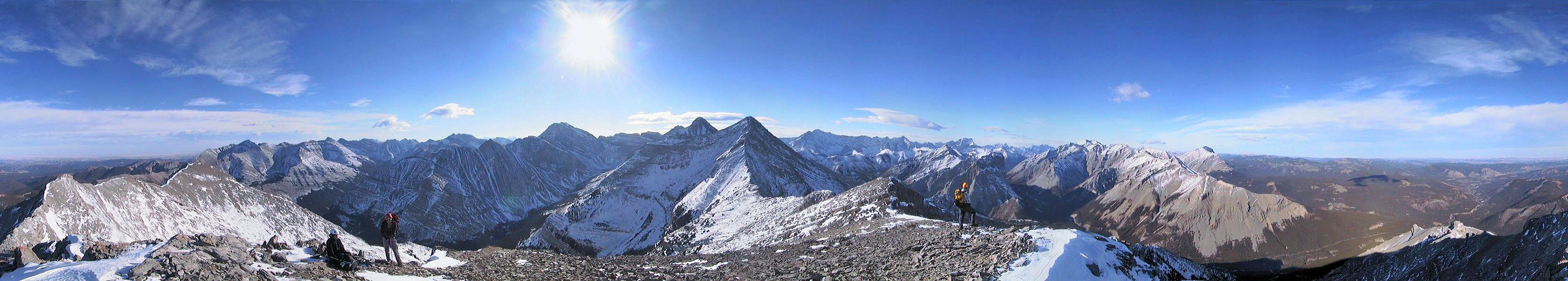
82 J/10 Mount Rae