bobspirko.ca | Home | Canada Trips | US Trips | Hiking | Snowshoeing | MAP | About
Elpoca East Ridge
Kananaskis Country, Alberta
October 9, 2021
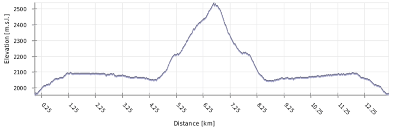
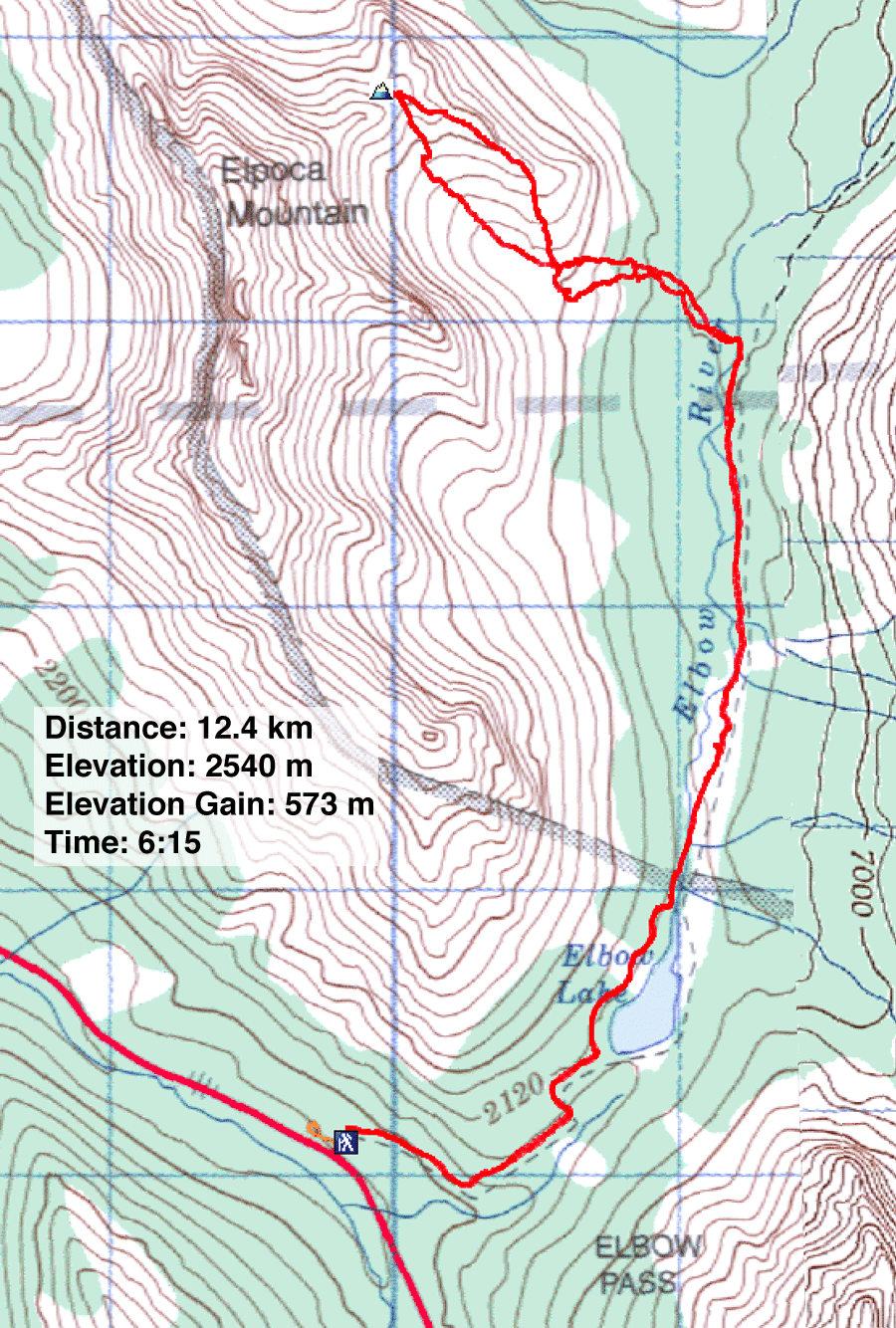
Distance: 12.4 km (7.7 mi)
Cumulative Elevation Gain: 678 m (2224 ft)
While scouring maps for new ideas, I became intrigued with a ridge on the east side of Elpoca Mountain. The ridge, which forms one side of an alpine basin, appeared to have a distinct high point, a small summit of sorts. A route looked promising, although I couldn't be sure if some obstacle would stop us. We would find out when we got there.
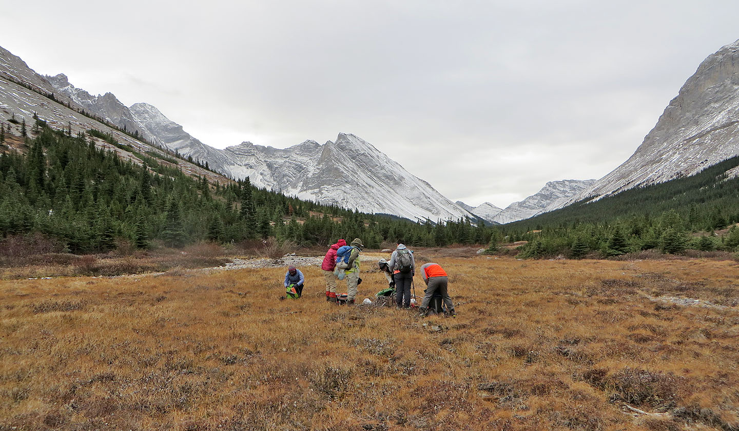
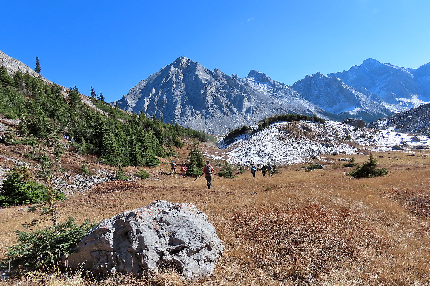
Dinah and I met Zora, Jonathan, Bernadette, Suzy and Yuko at the Elbow Pass trailhead. We hiked to Elbow Lake and continued down the trail over the pass. Four kilometres later, we left the trail and rock-hopped across Elbow River. Then we crossed an undulating meadow to reach the treed slope below the basin.
After entering the trees, we realized we were committed to ascending left of a hidden gully. We soon emerged onto an open ridge left of the basin. We had a beautiful view of Elbow Valley behind us, but we were lured to the landscape ahead: enormous erratics which towered over our heads. We couldn't resist scrambling up a couple of them.
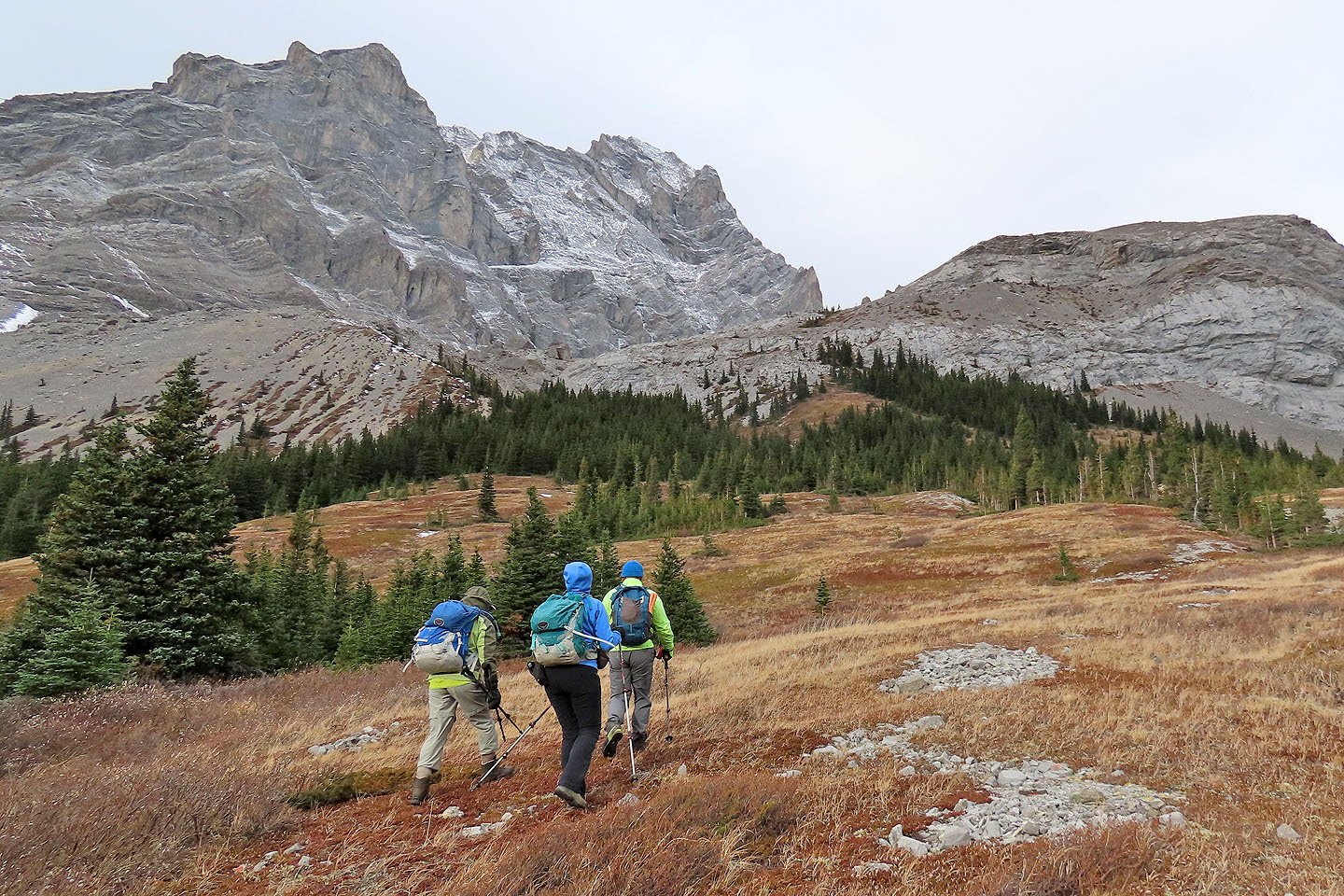
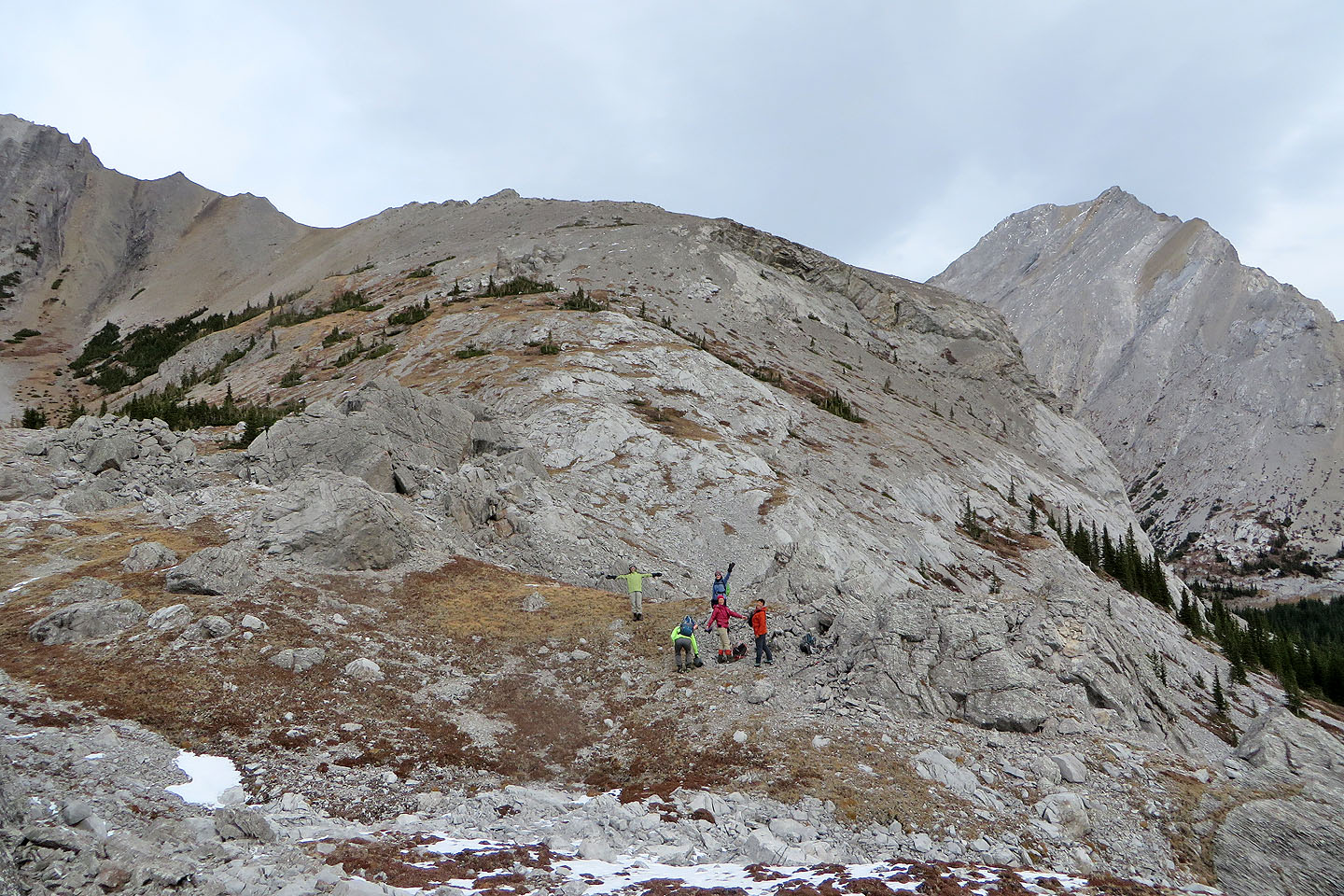
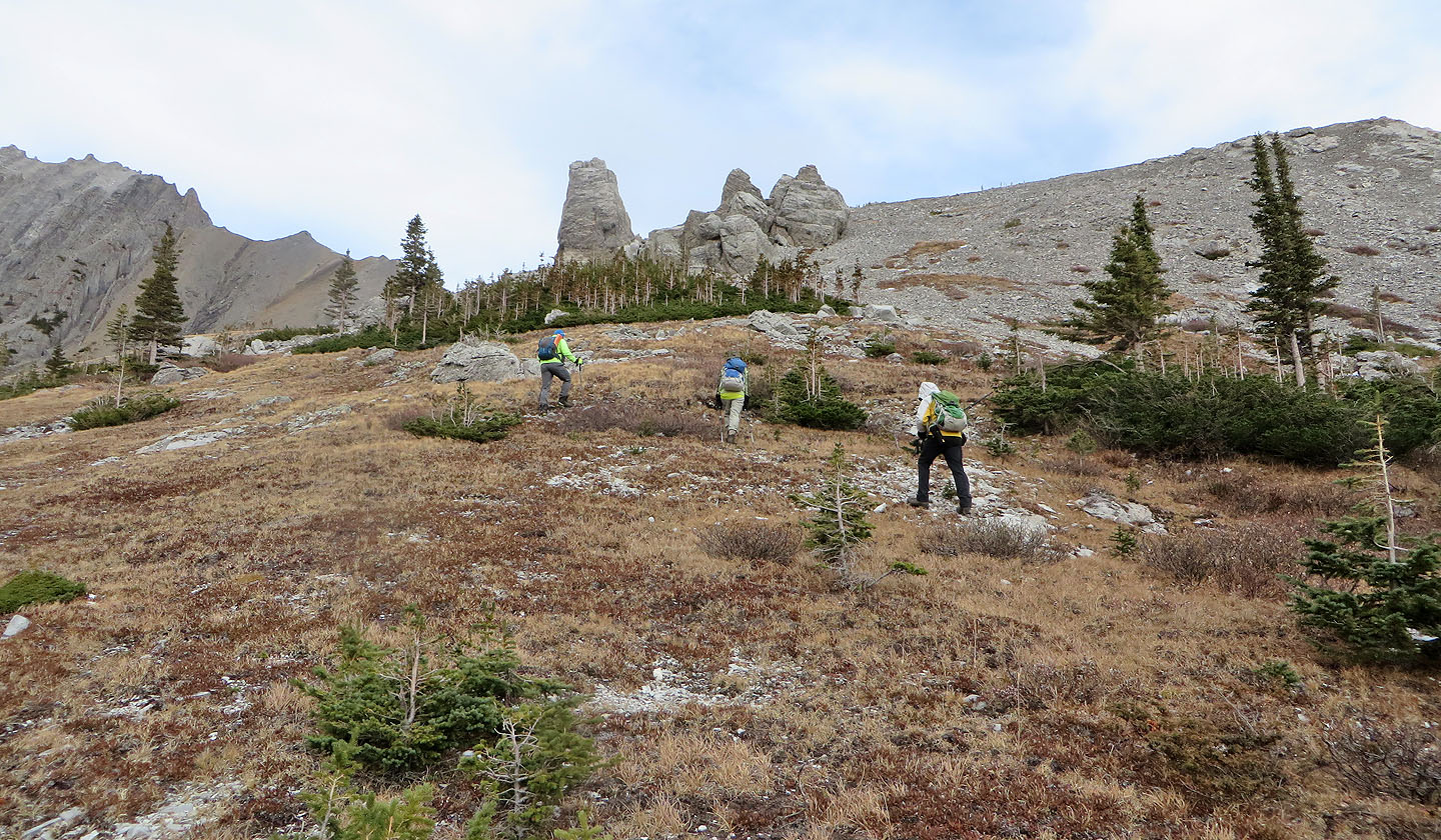
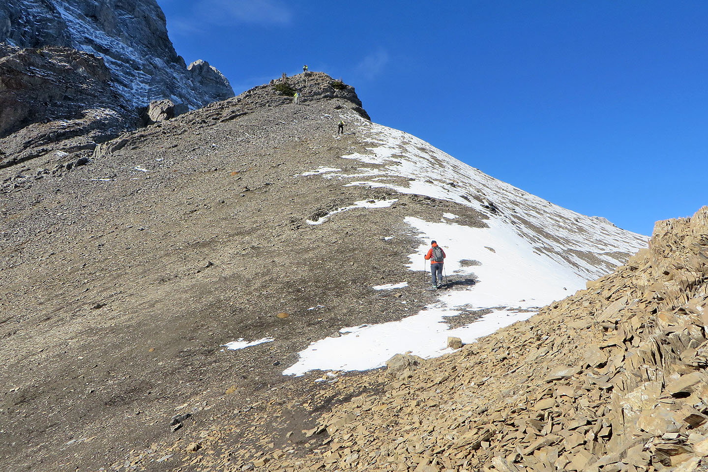
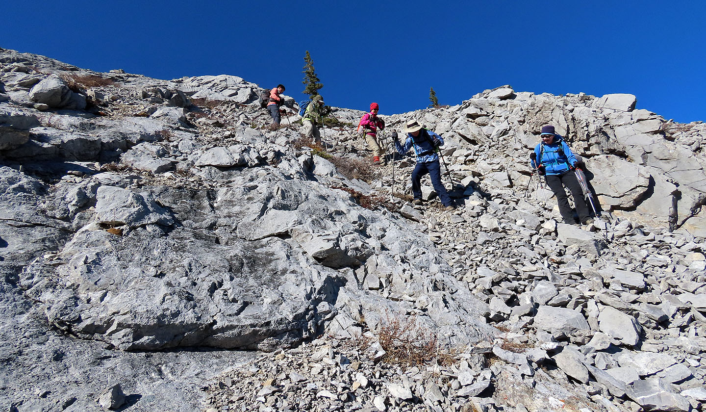
Afterwards, we crossed the edge of the basin to the other side where the East Ridge begins. Soon after starting up, we encountered another set of stupendous boulders that rose like a castle. A natural playground, we were drawn to clamber up these too before continuing to the ridge crest.
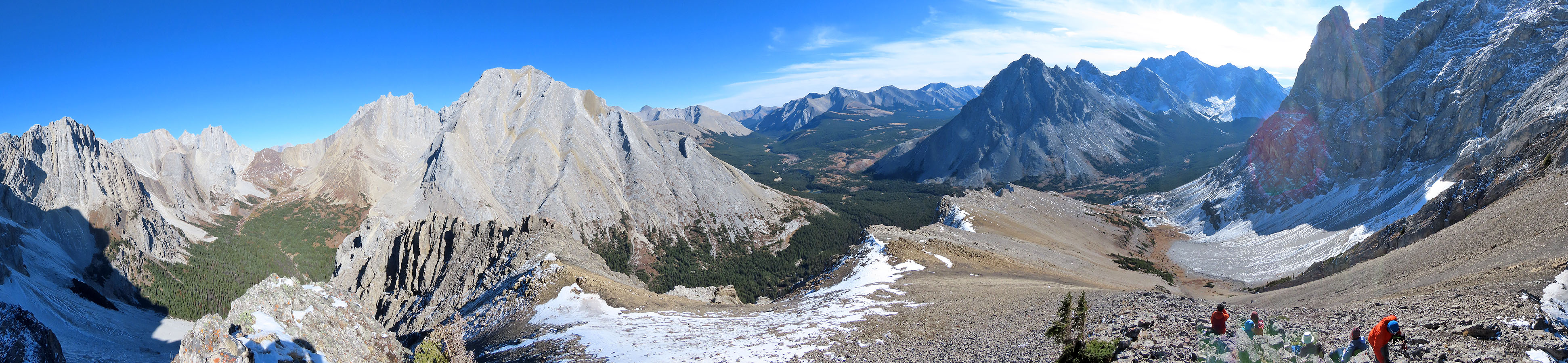
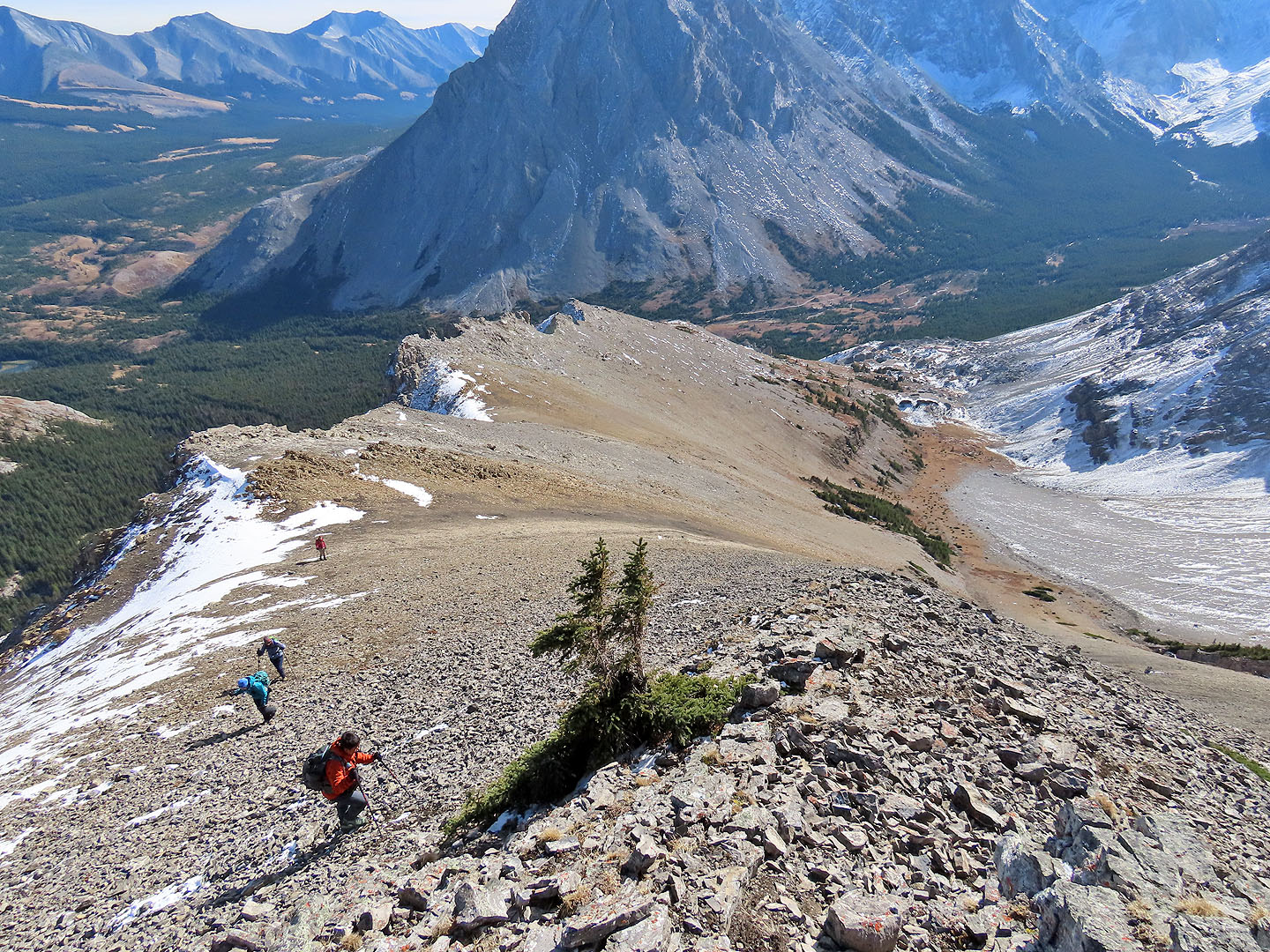
Once on the ridge, it appeared we could reach the summit 600 m away. We made our way along the ridge, mostly left of the crest to avoid going over all the high points. We reached the summit, although we had to take turns on top as it was too small to hold everyone. Then we sat down for lunch with a grand view of the valley and peaks that lined it.
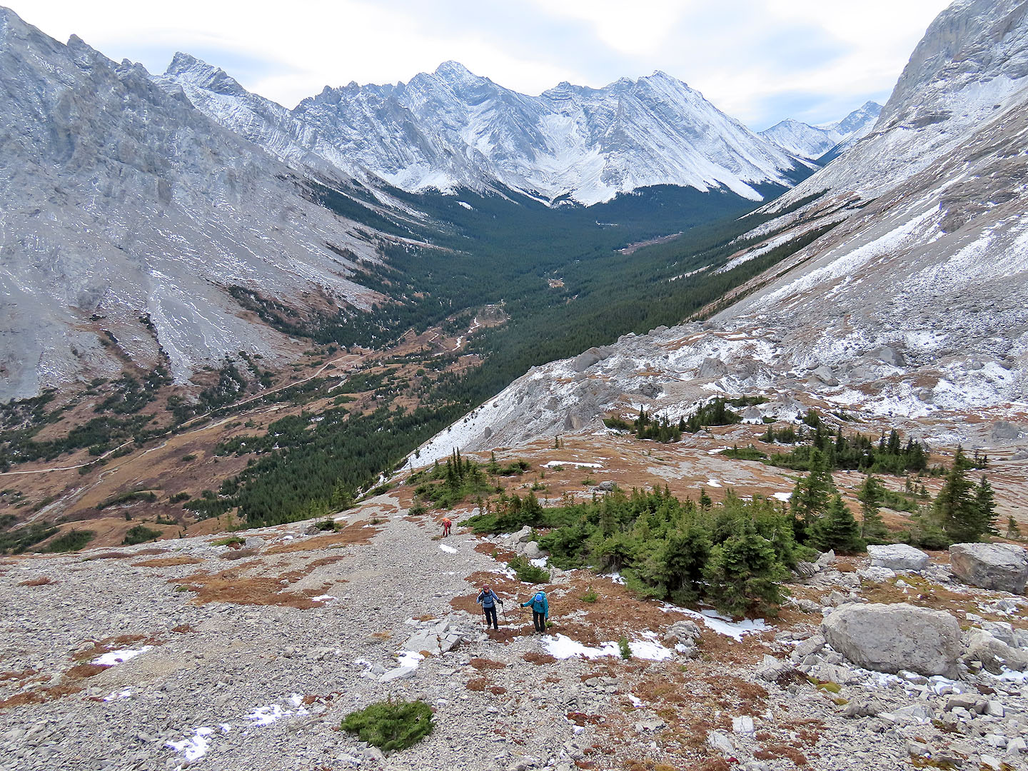
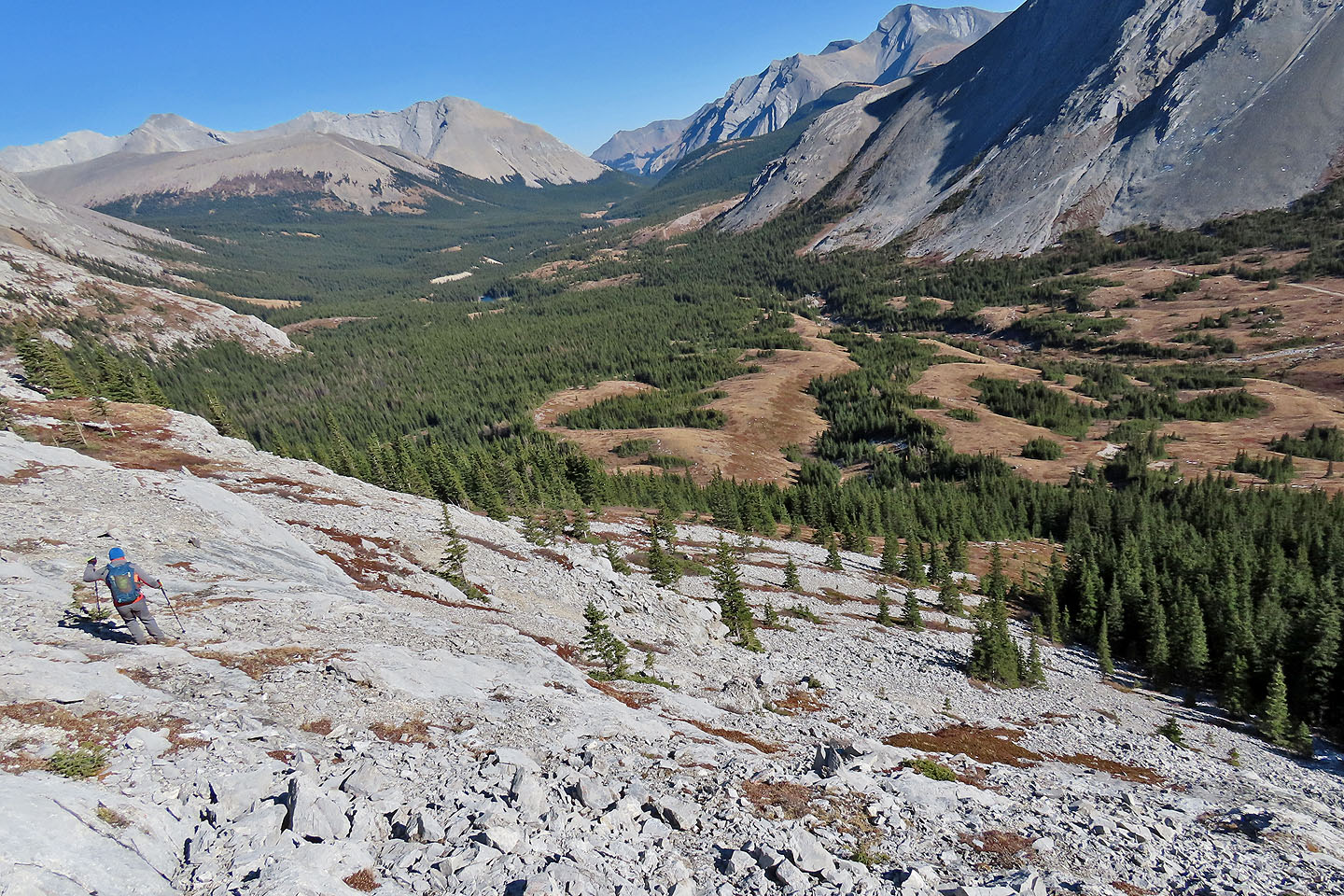
Fortunately, we didn’t have to follow the ridge all the way back. We backtracked a short distance to a patch of black shale, the start of a quick scree descent to the tranquil basin below. In the basin, we crossed to the other end where we saw the first boulders.
Instead of using the ridge south of the gully, we descended the slope north. Being laced with smooth slabs, it was trickier than our ascent ridge, but we reached the meadow and entered the trees below. After crossing the gully, we broke out onto the meadow, on track with our ascent route. We traversed the meadow and followed Elbow Pass trail back to our cars.
Elpoca East Ridge, as I called it, was an easy climb, not much more than a steep hike with striking landscape. Impressive scenery is usually reserved for big climbs, but sometimes good things come in small packages.
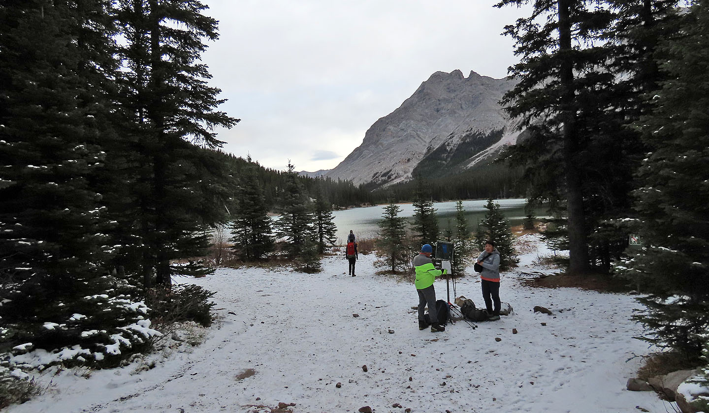
Arriving at Elbow Lake
The north end of the lake was half frozen
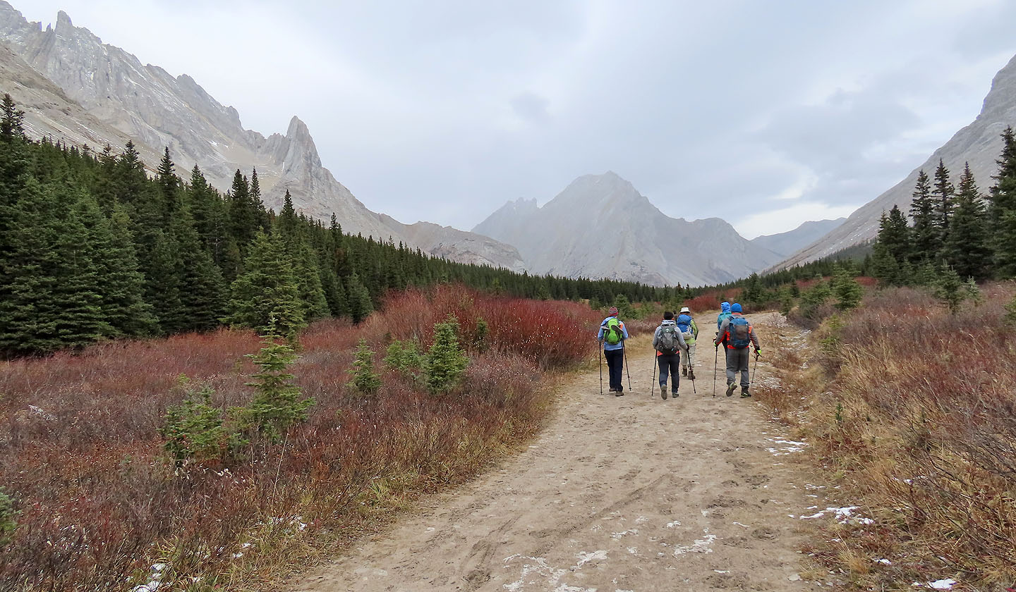
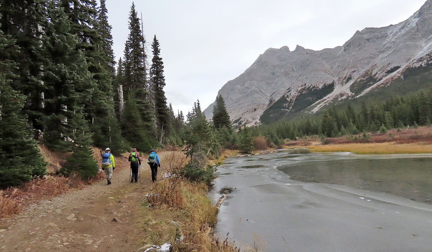
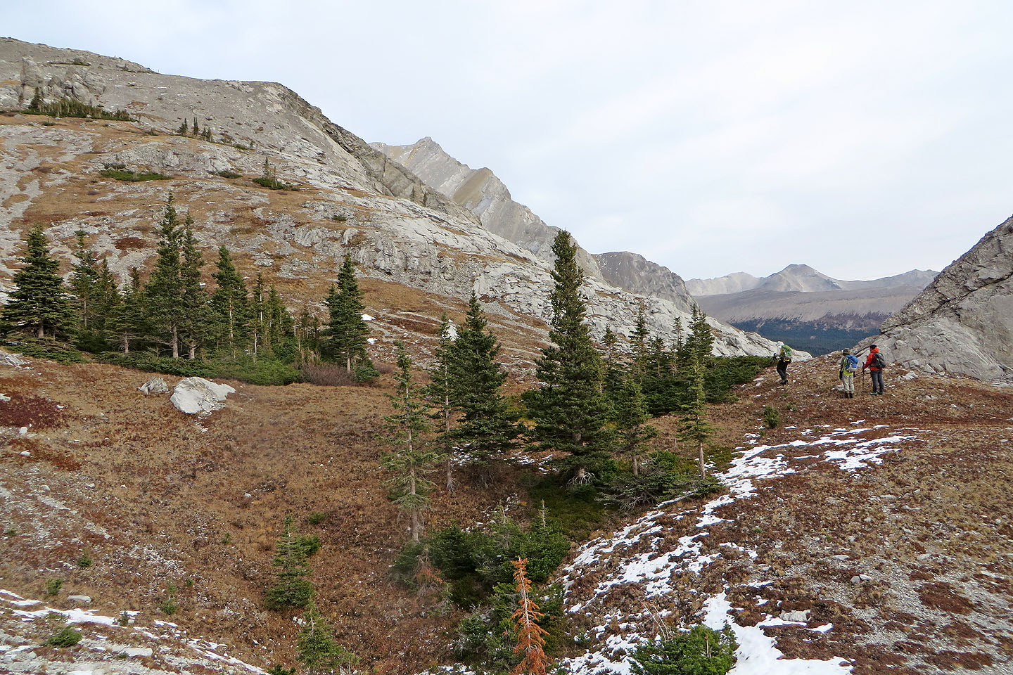
Continuing down the trail, Elpoca East Ridge came into view on our left
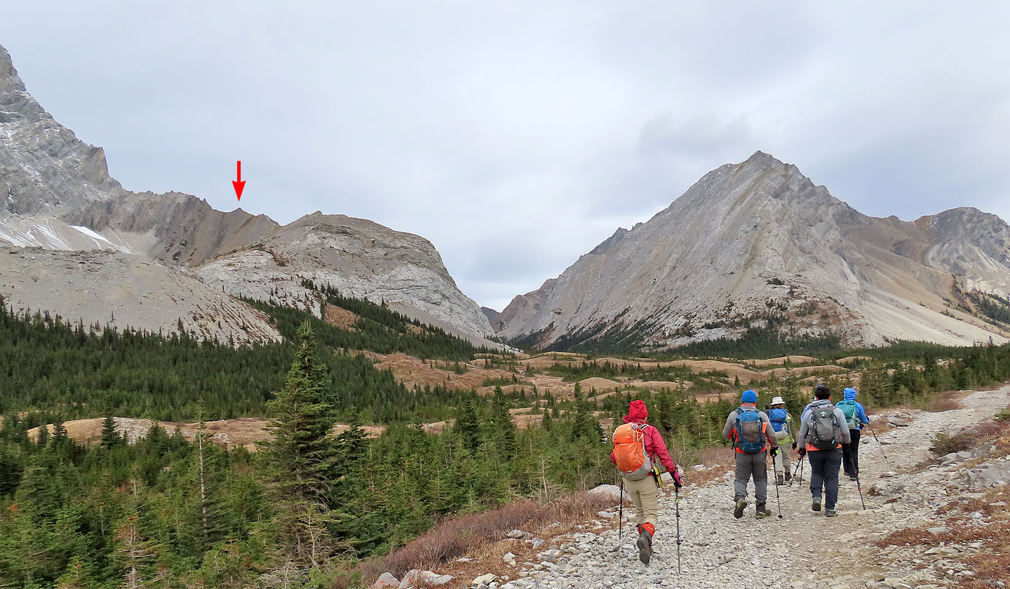
We'll soon leave the trail. The arrow indicates our objective.
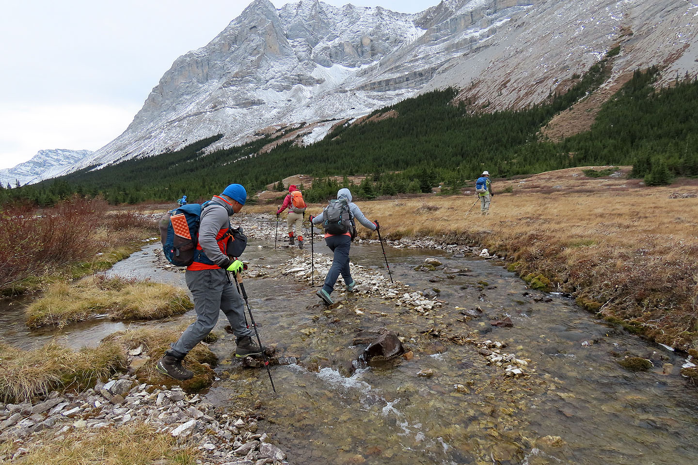
Crossing Elbow River
After crossing, we stashed water-crossing shoes we never used
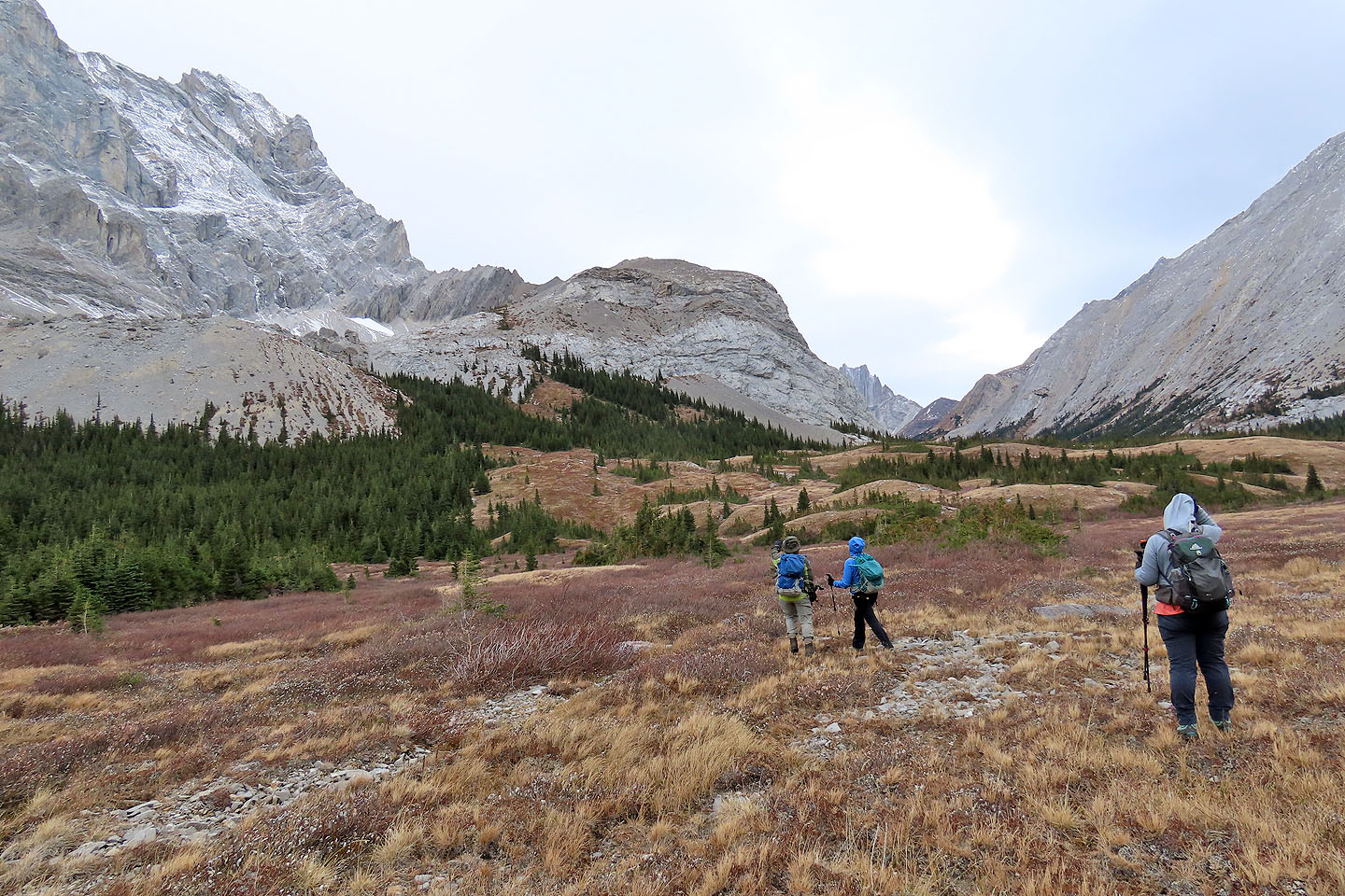
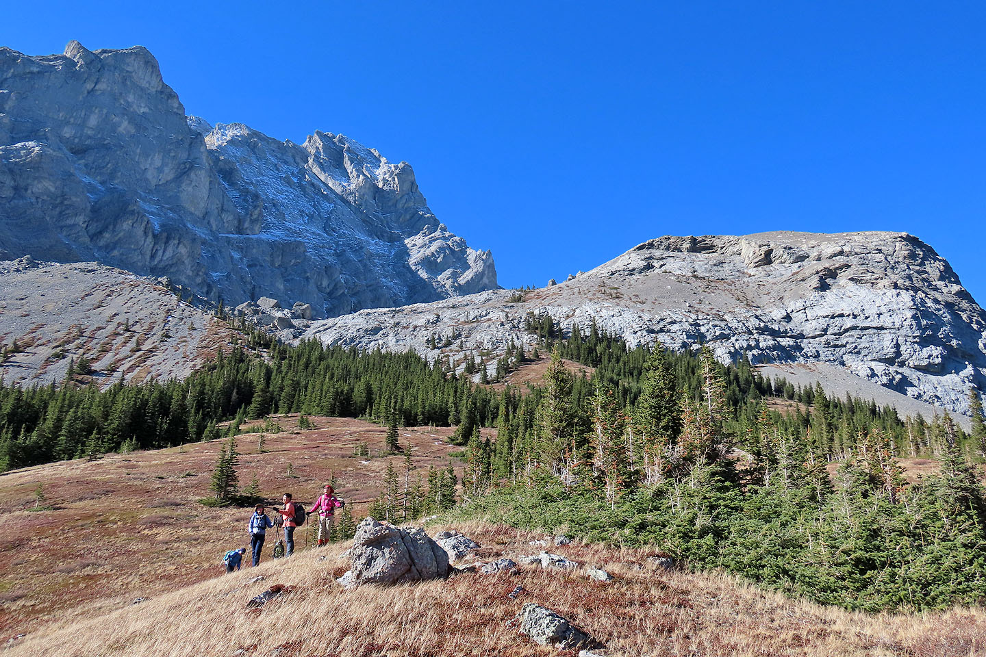
We set off across the meadow to the slope below the basin
We ascended the low ridge on the left
Looking back after coming out of the trees
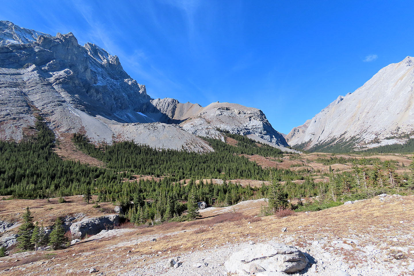
After climbing higher, we could see well down the valley
We reached the edge of the basin with the ridge in front of us
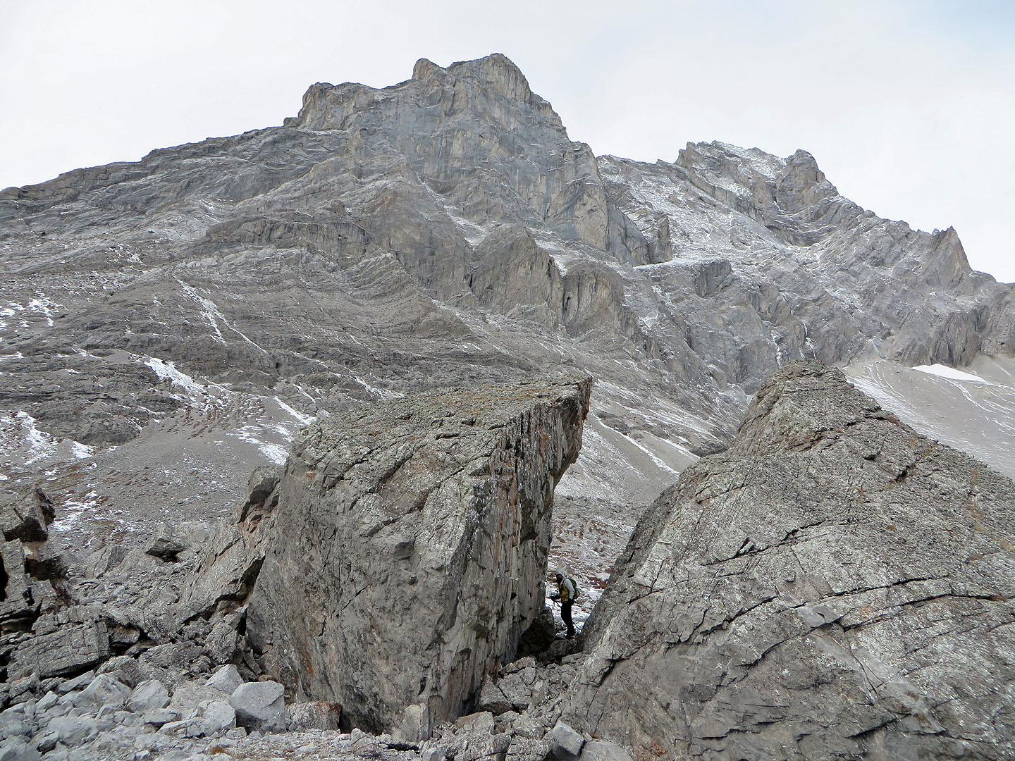
I walked through a boulder split in half
Strong winds forced Jonathan to crouch down on the split rock
We made our way to the start of the ridge (mouse over to look back)
We were drawn to another set of erratics on our way up the ridge
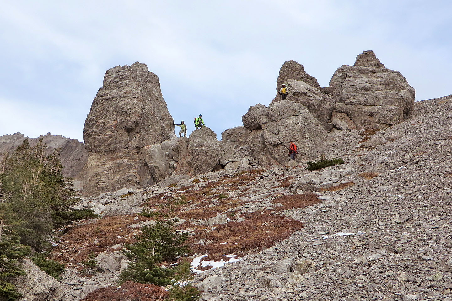
The huge rocks were a natural playground
Looking down from the highest boulder. Mount Rae in the centre.
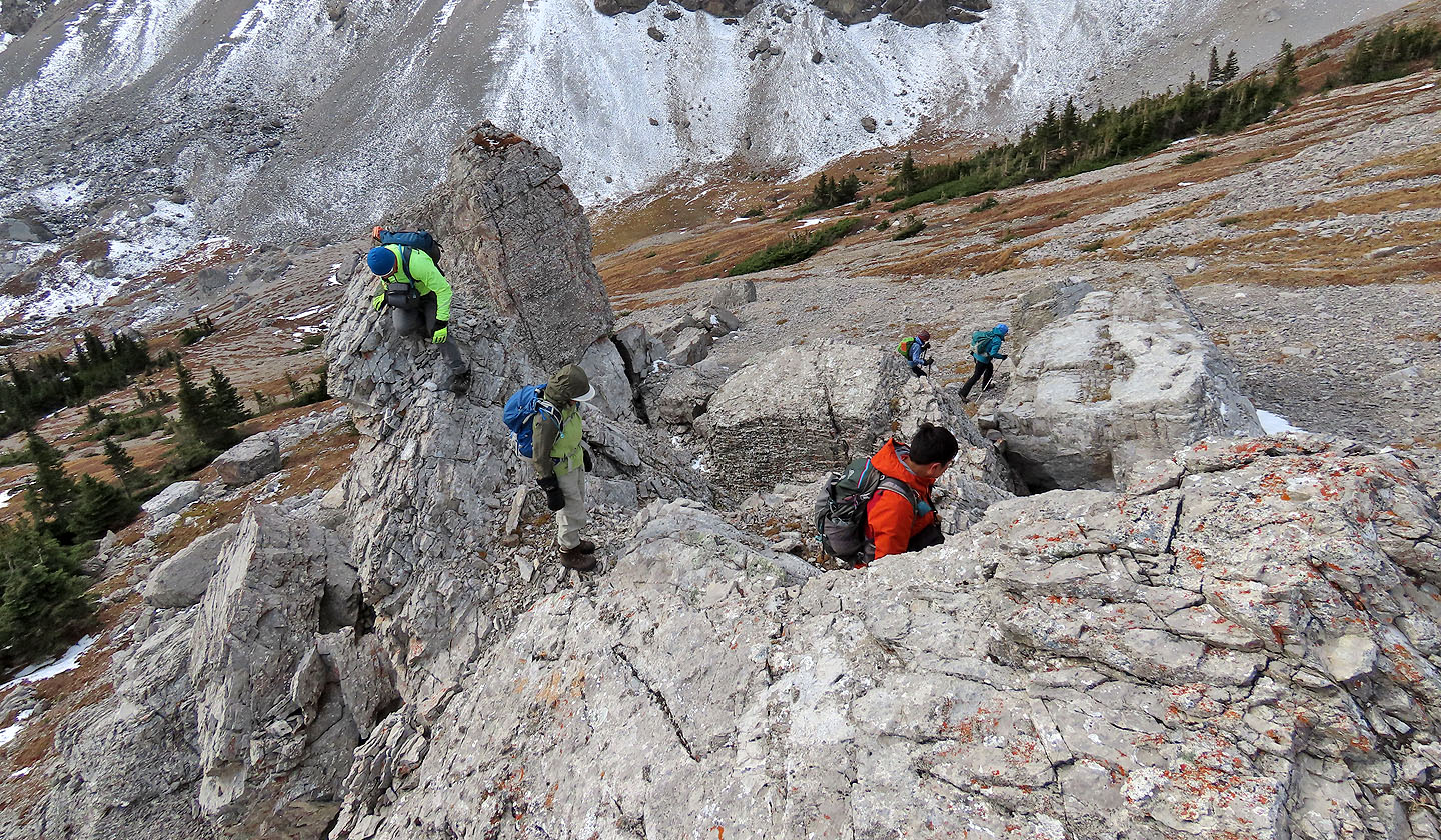
We couldn't resist exploring the rocks
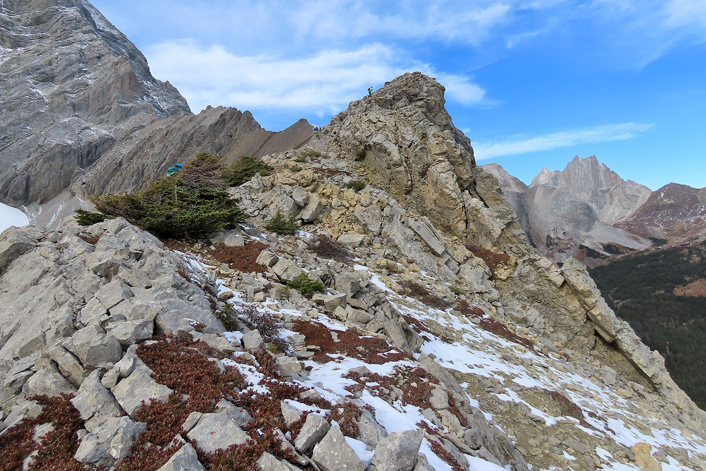
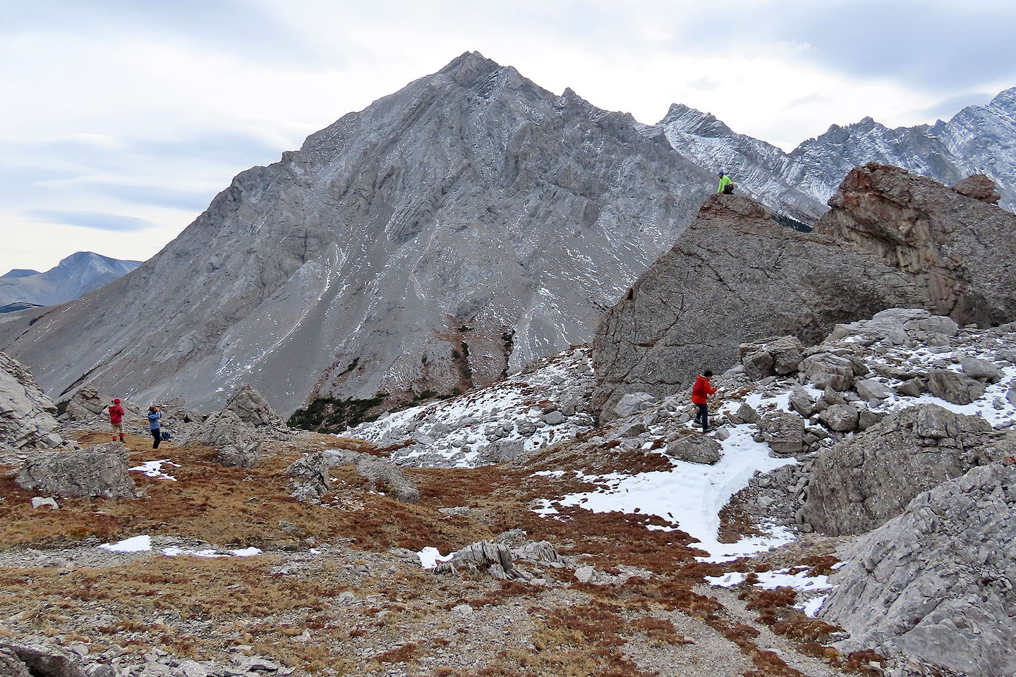
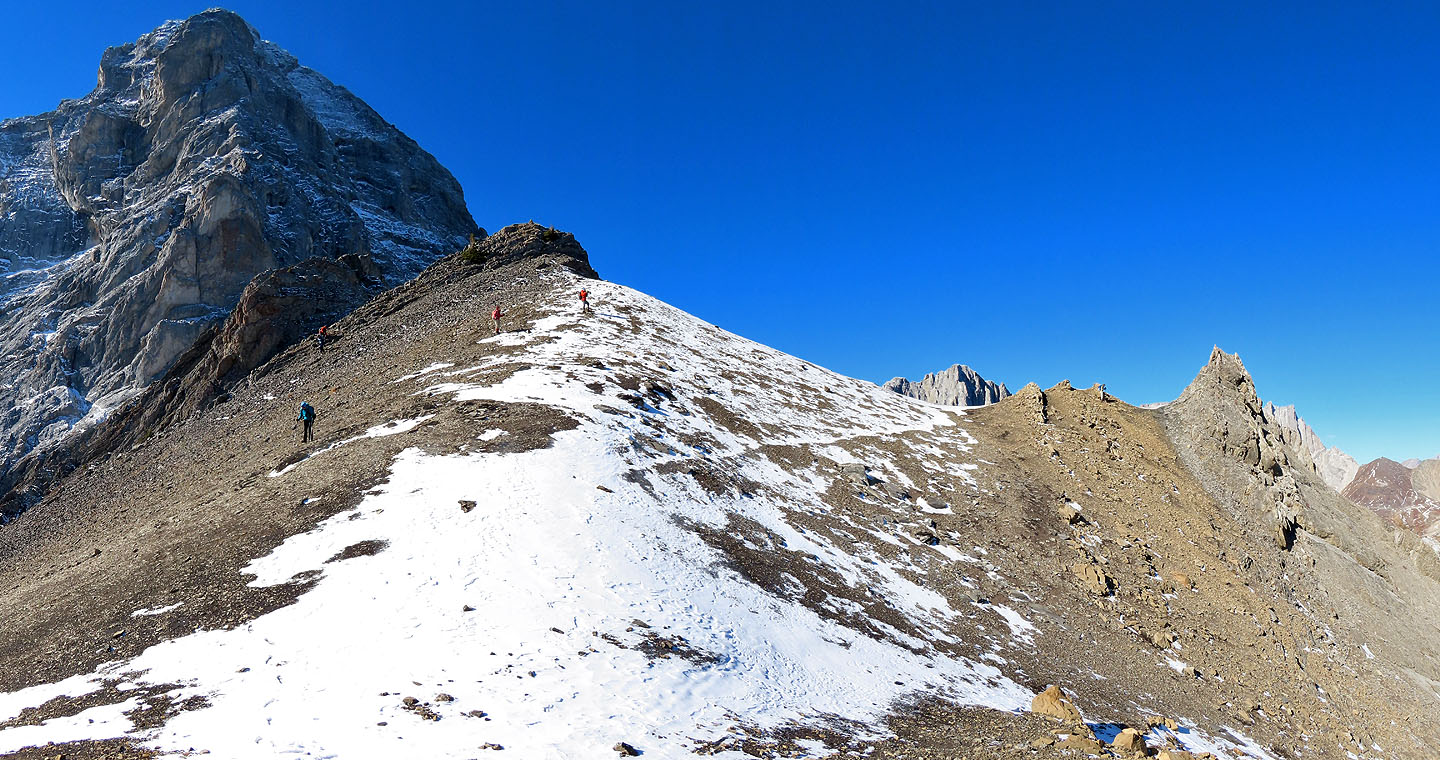
Jonathan climbs the first high point on the ridge
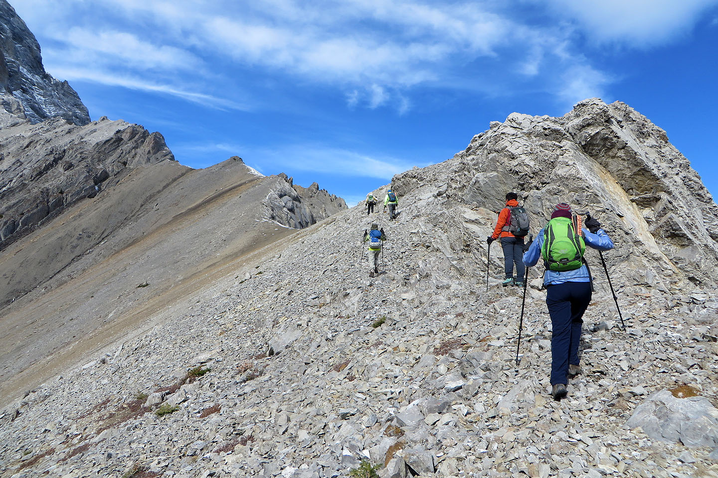
We continued along the ridge to the summit
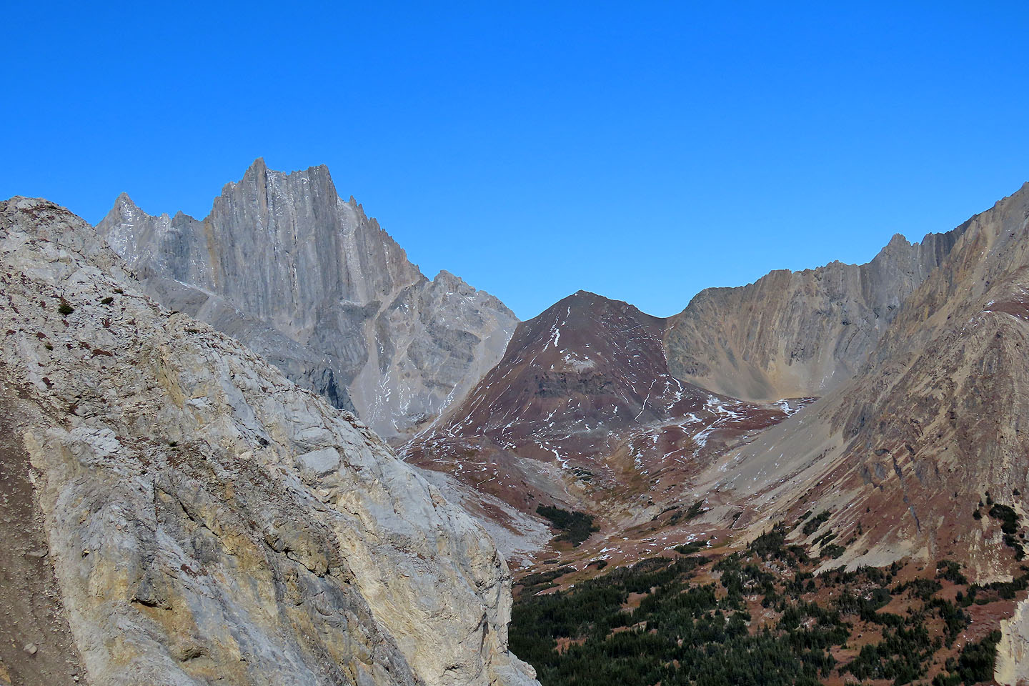
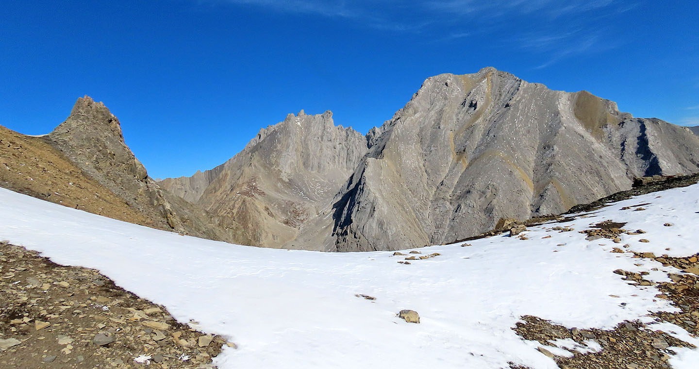
Cat's Ears and Pipers Pass
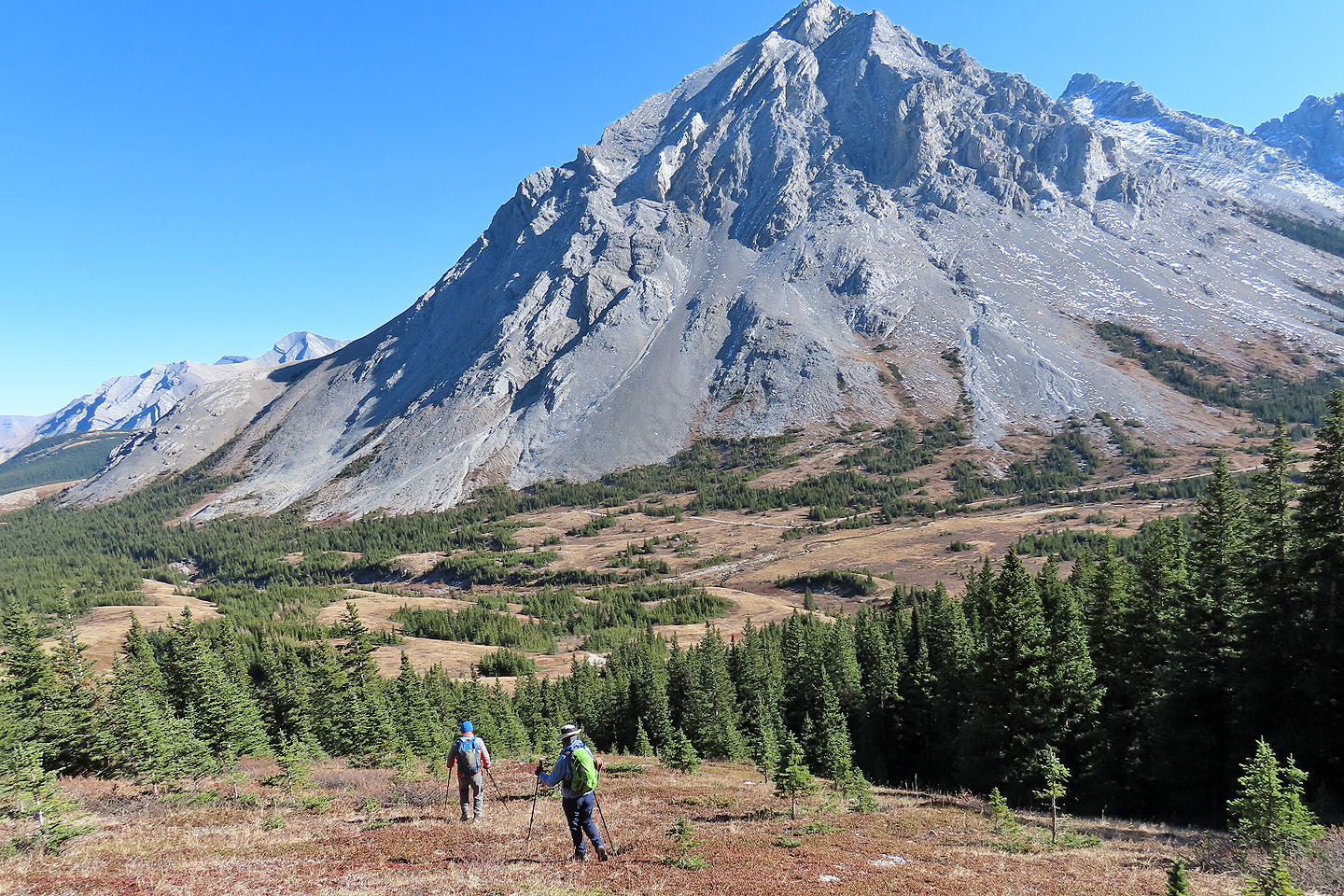
Elpoca Mountain towered above us
We made our way to the summit
 Tombstone South is on the right
Looking down from the summit
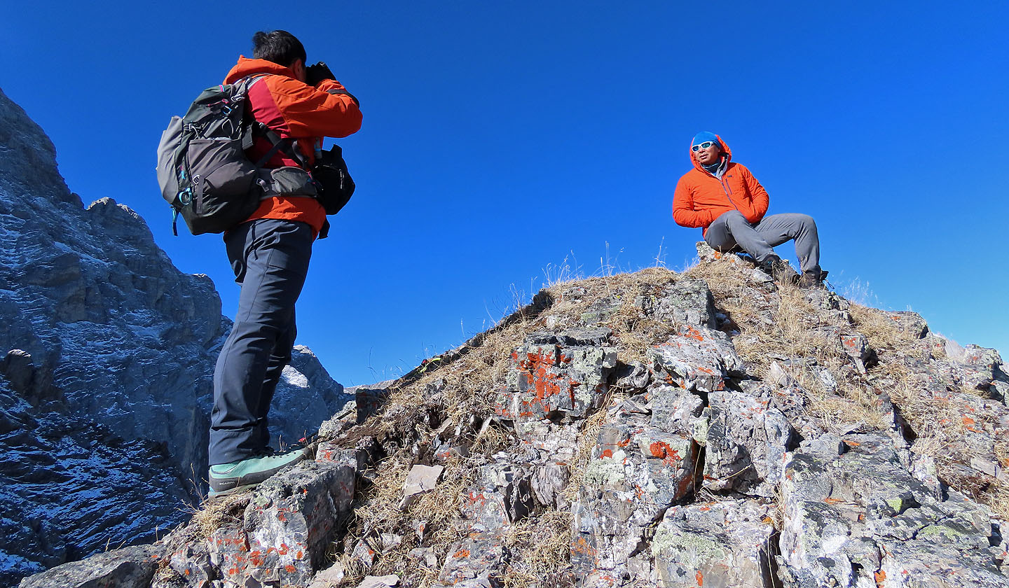
The tiny summit can only hold a couple of people
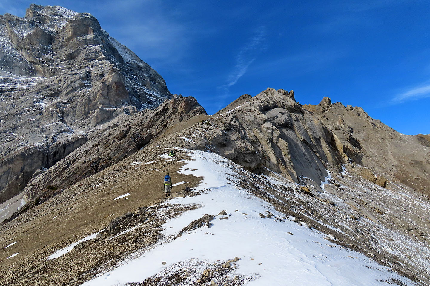
Coming down from the summit

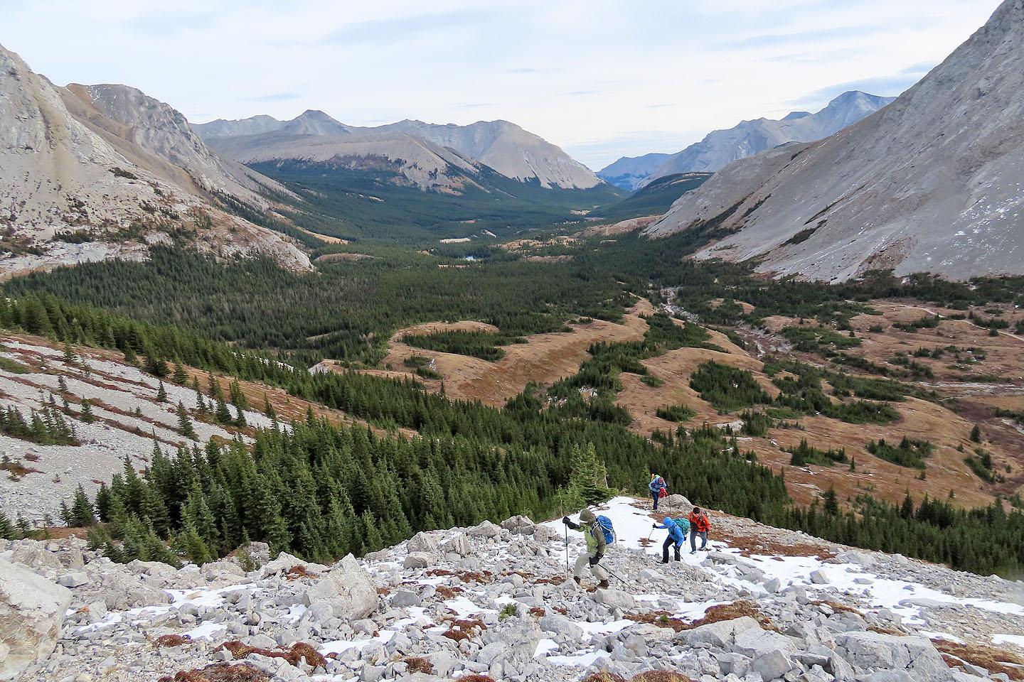
Heading down to the basin
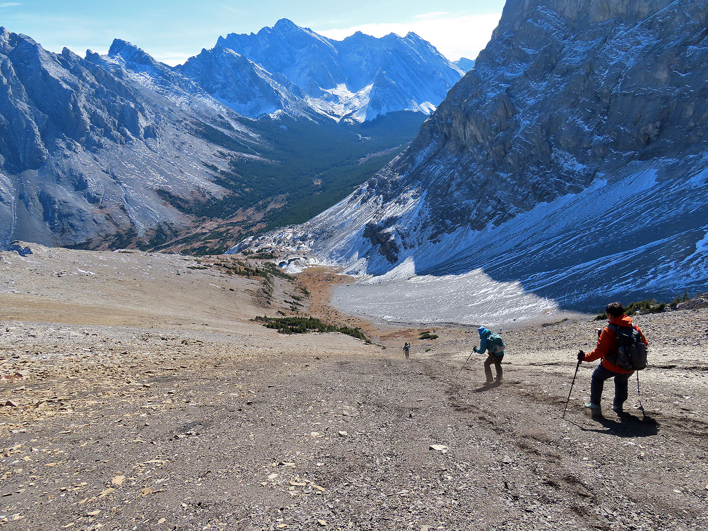
The soft scree provided a fast descent
Looking back from the basin. The summit is in the centre, the black scree is right.
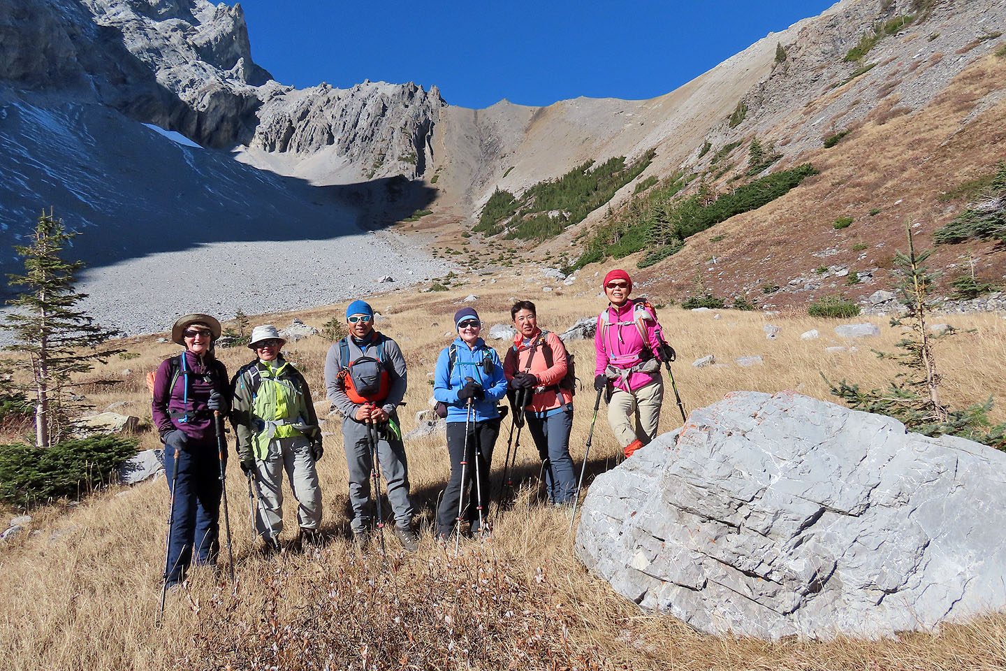
Bernadette, Zora, Jonathan, Dinah, Yuko and Suzy pose below the summit
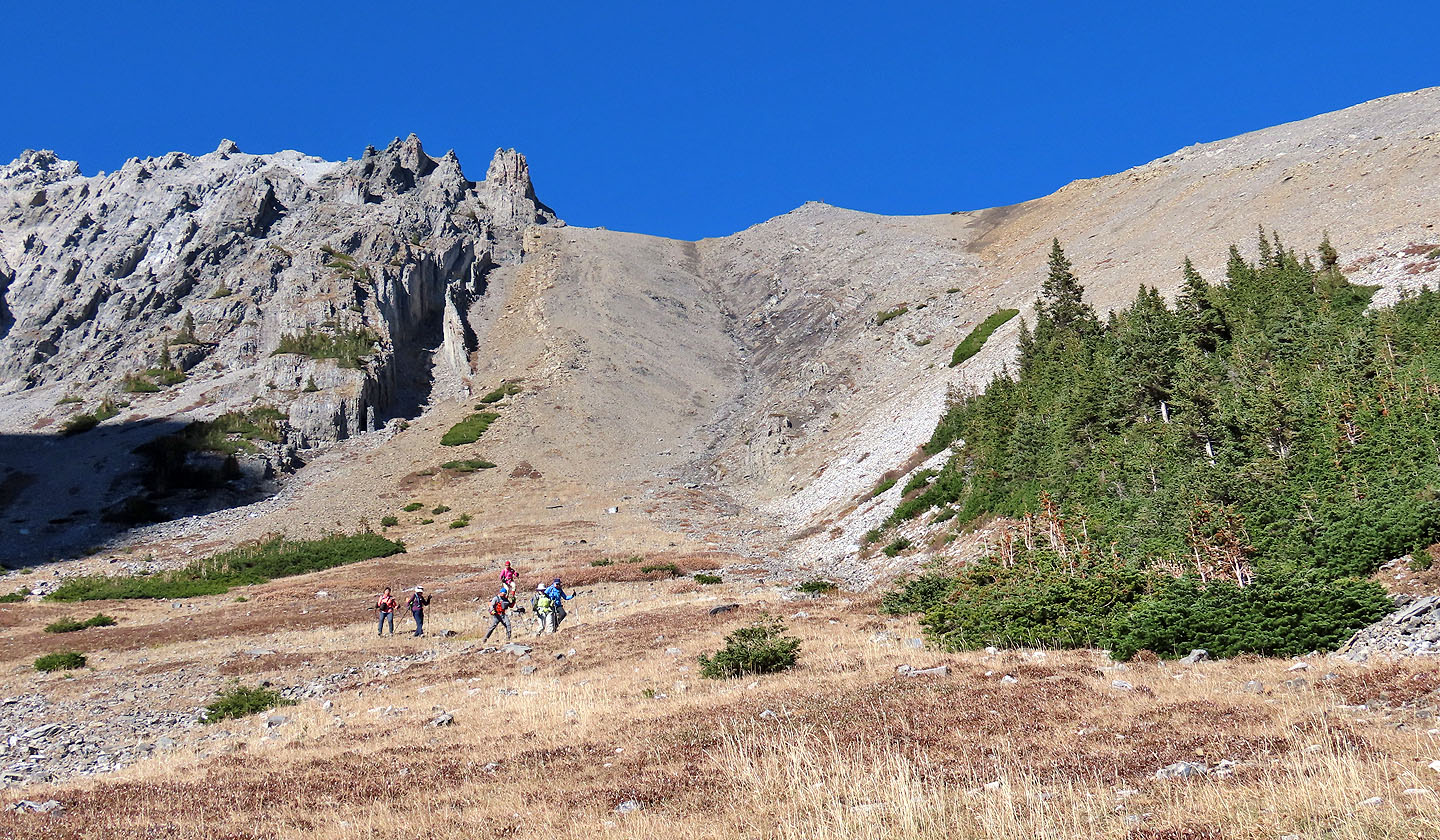
Heading to the end of the basin
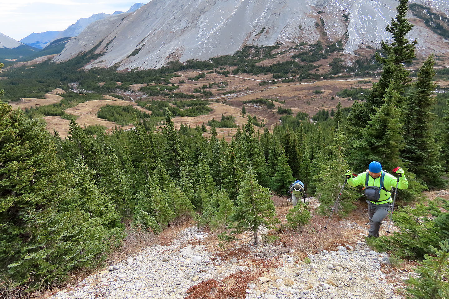
Descending the slope on the other side
The steep descent was made easier by zigzagging down
After dropping into the trees below, we crossed the gully on our right
Looking back after reaching the lower slopes
Back on the trail, we have a final look at the ridge (mouse over for a close-up)
82 J/11 Kananaskis Lakes