bobspirko.ca | Home | Canada Trips | US Trips | Hiking | Snowshoeing | MAP | About
Racehorse Peak
Crowsnest Pass, Alberta
August 27, 2016
Distance: 12.4 km (7.7 mi)
Cumulative Elevation Gain: 989 m (3245 ft)
Racehorse Peak is the unofficial name of a modest mountain rising above Racehorse Pass. A walk up a road followed by a steep hike makes this one easy peak to summit. Even so, we turned back two years ago when confronted with poor weather. Instead we climbed a nearby bump that we flippantly called “Mount Racehorse.” This time Dinah and I, along with Zora, reached the summit without encountering rain, although Mother Nature still managed to cause us grief.
The trailhead is situated 18.5 km up Allison Creek Road. You can’t always count on this road to be in good condition, but when dry it should be serviceable to most cars. From the trailhead, a 4x4 road leads to Racehorse Pass. One could start the ascent on the southeast ridge just before the pass, or most anywhere on the broad south slope, but we ventured along the pass before starting up, and for good reason. We aimed for the vegetation that extends well up the south slope. Any other part of the slope, or the ridge for that matter, is, better left for a long descent on loose rock.
We reached a high point on the ridge a short distance west of the summit. So far the weather was okay, although a bit cloudy. But just when we reached the summit, the wind suddenly intensified, throwing us off balance. After taking a few photos, we started galloping down Racehorse to escape the sudden gale. We abandoned our plans to follow the southeast ridge down to the pass, wanting nothing more than to get out of that awful wind. We dropped almost straight down the slope, taking advantage of soft scree patches to get us down fast. Still the wind battered us, and one particularly strong gust ripped my hat off. It flew away and disappeared in seconds. It’s the first time I lost a hat in the mountains.
We made our way down to the pass where we found calmer air by the trees, taking the break we intended on the summit before the wind snatched it away. Then we started down the road.
Unlike our quiet morning, we encountered several people on the road, all of them friendly and cheerful, and except for two on foot, all on different vehicles: dirt bikes, ATVs and a jeep. The latter stopped short of the pass. The driver was hoping to go to Window Lake, but we told him he was on the wrong road. He drove up to the pass where he could turn around, while Zora, Dinah and I continued down the road. Several minutes later, the jeep pulled up and the driver, Steve, offered us a lift. We piled in and Steve took us on a fun, bouncy ride back to our car. It was a fine way to end the trip. I wish it happened more often!
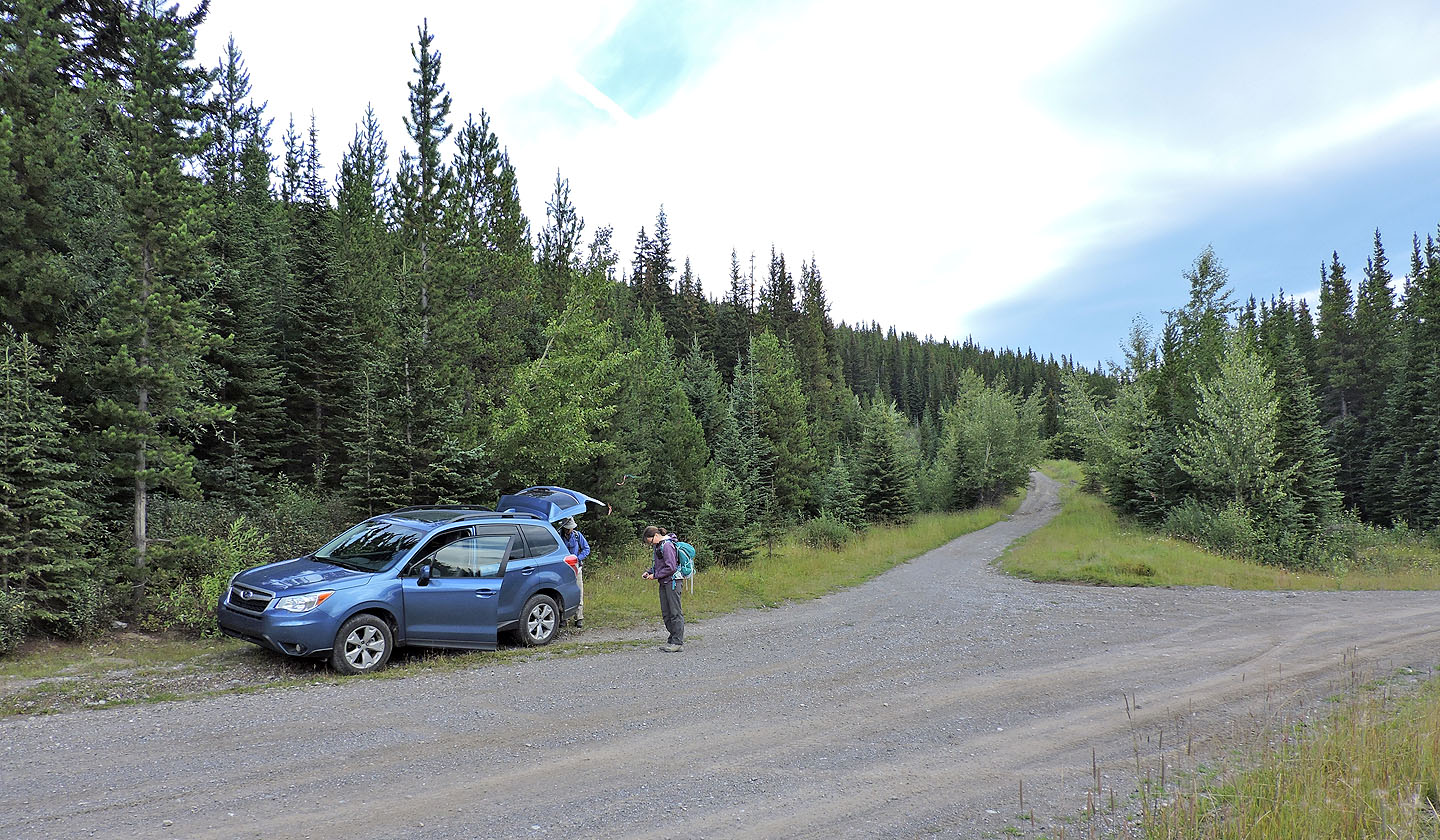
Parked at the side road leading to Racehorse Pass
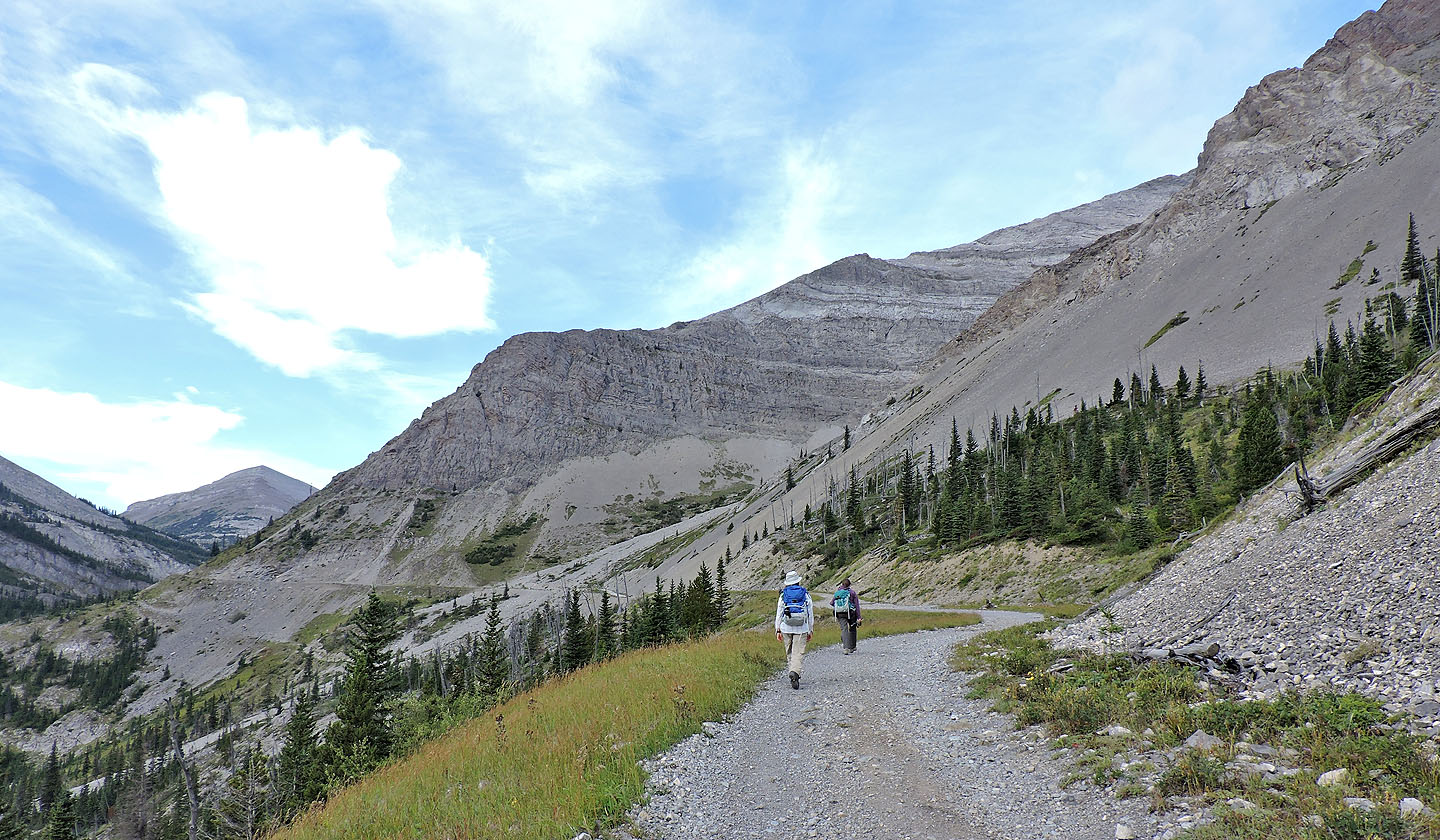
The road winds around the south end of Racehorse Peak
The pass is around the next corner
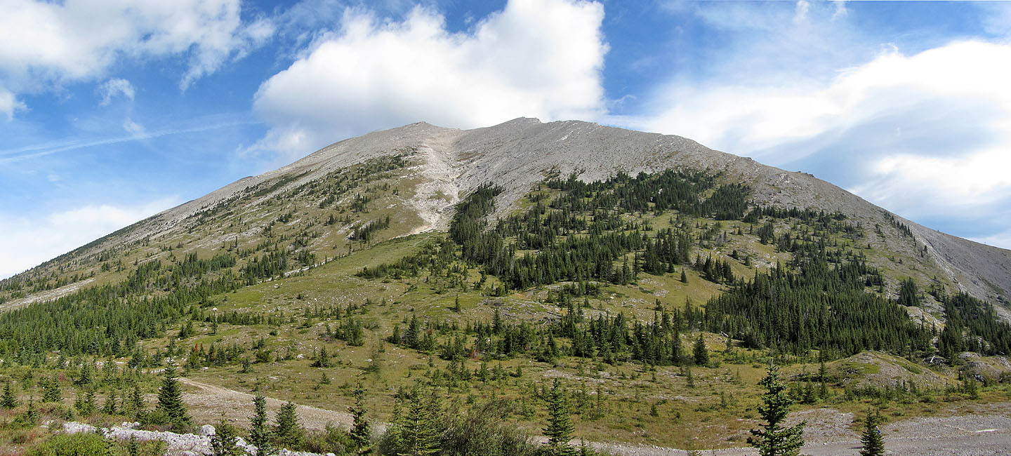
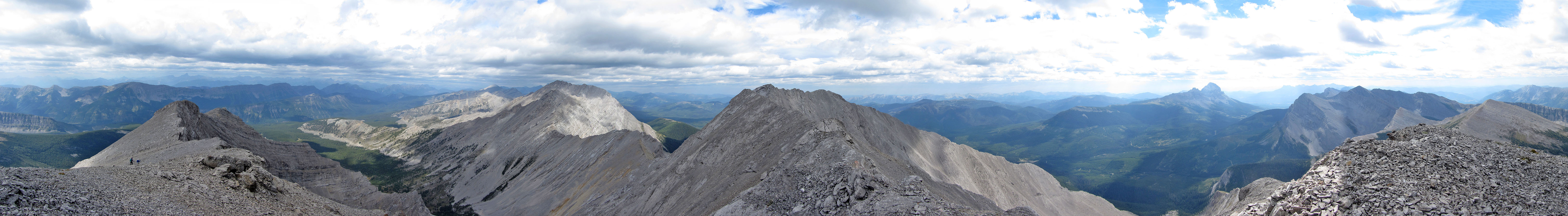
Racehorse Peak from the pass: the summit is in the centre. We ascended on the left side of the gully and descended on the right side.
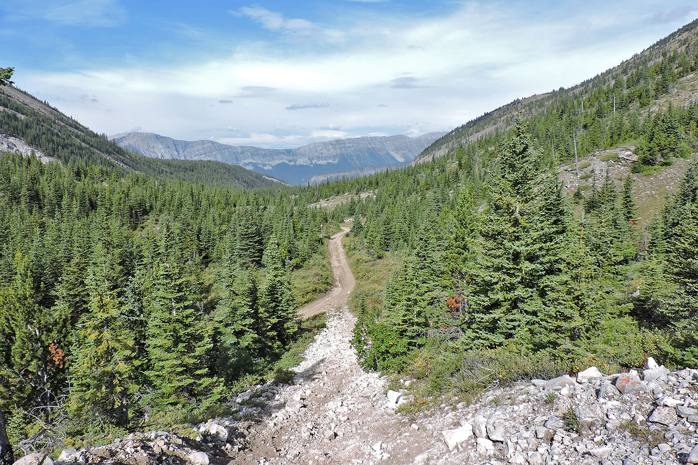
The road continues west on the other side of the pass
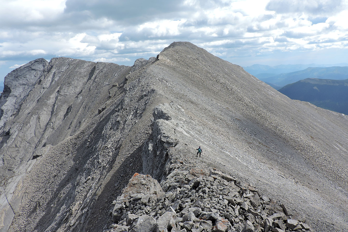
We headed to the point on the left and then traversed the ridge to the summit on the right
(mouse over for our approximate route)
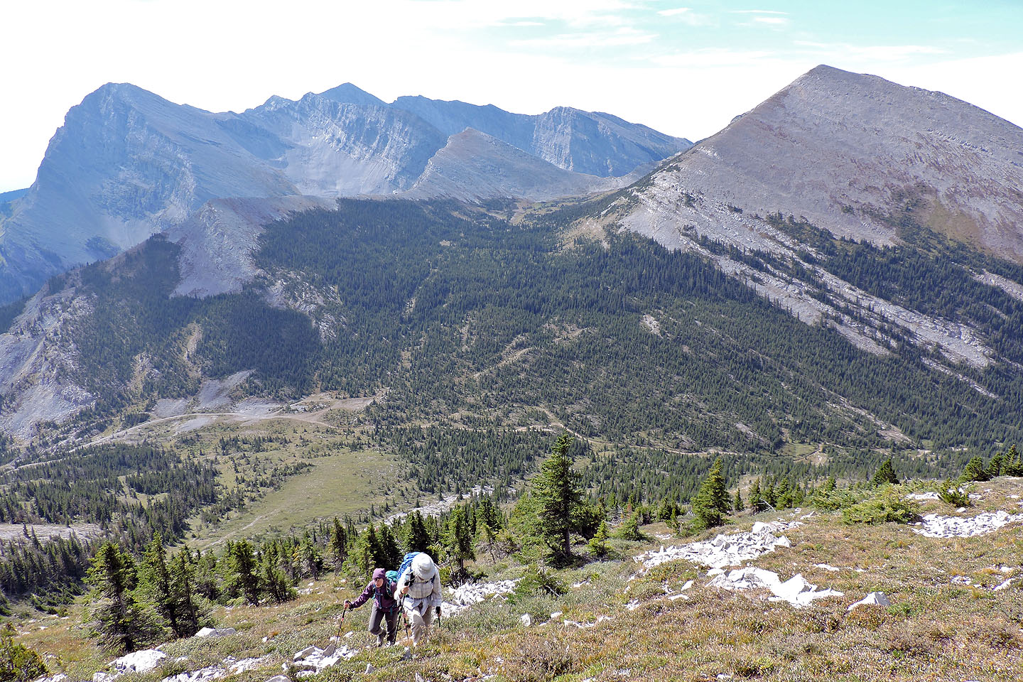
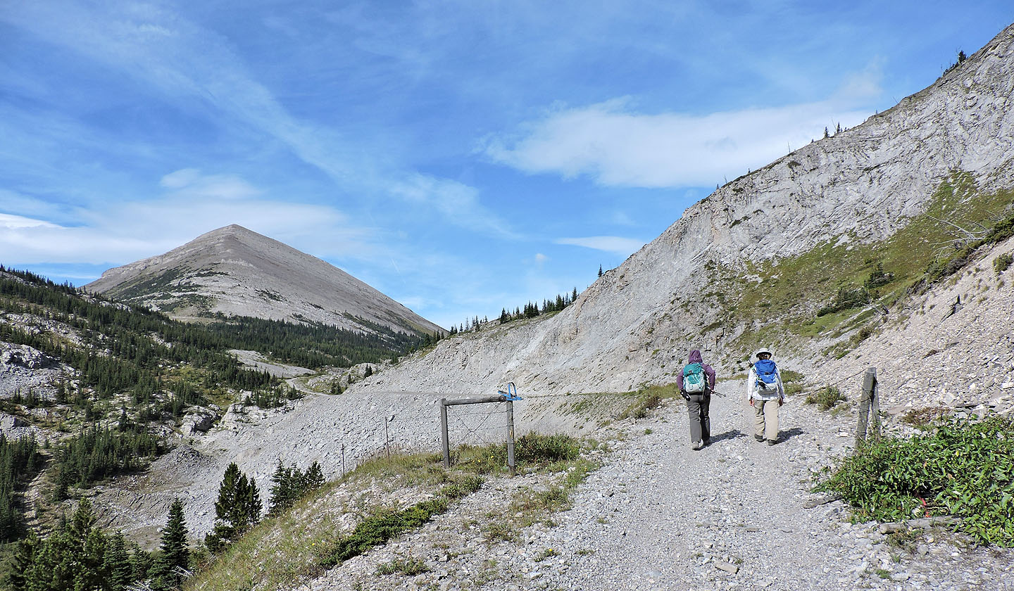
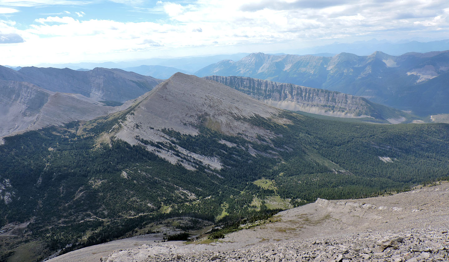
High above the pass: Mount Ward and
Allison Peak are on the left while Mount Racehorse is right
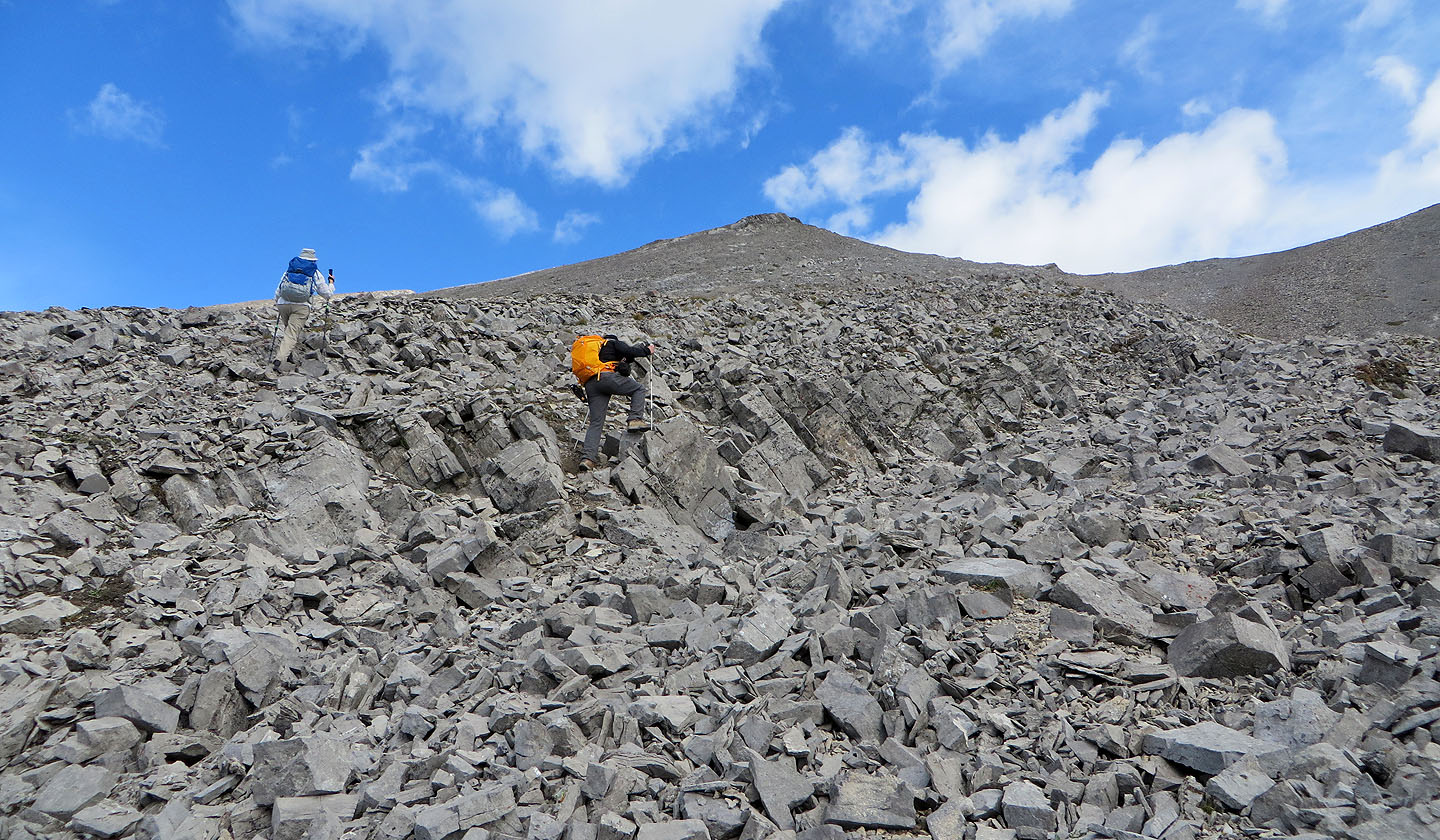
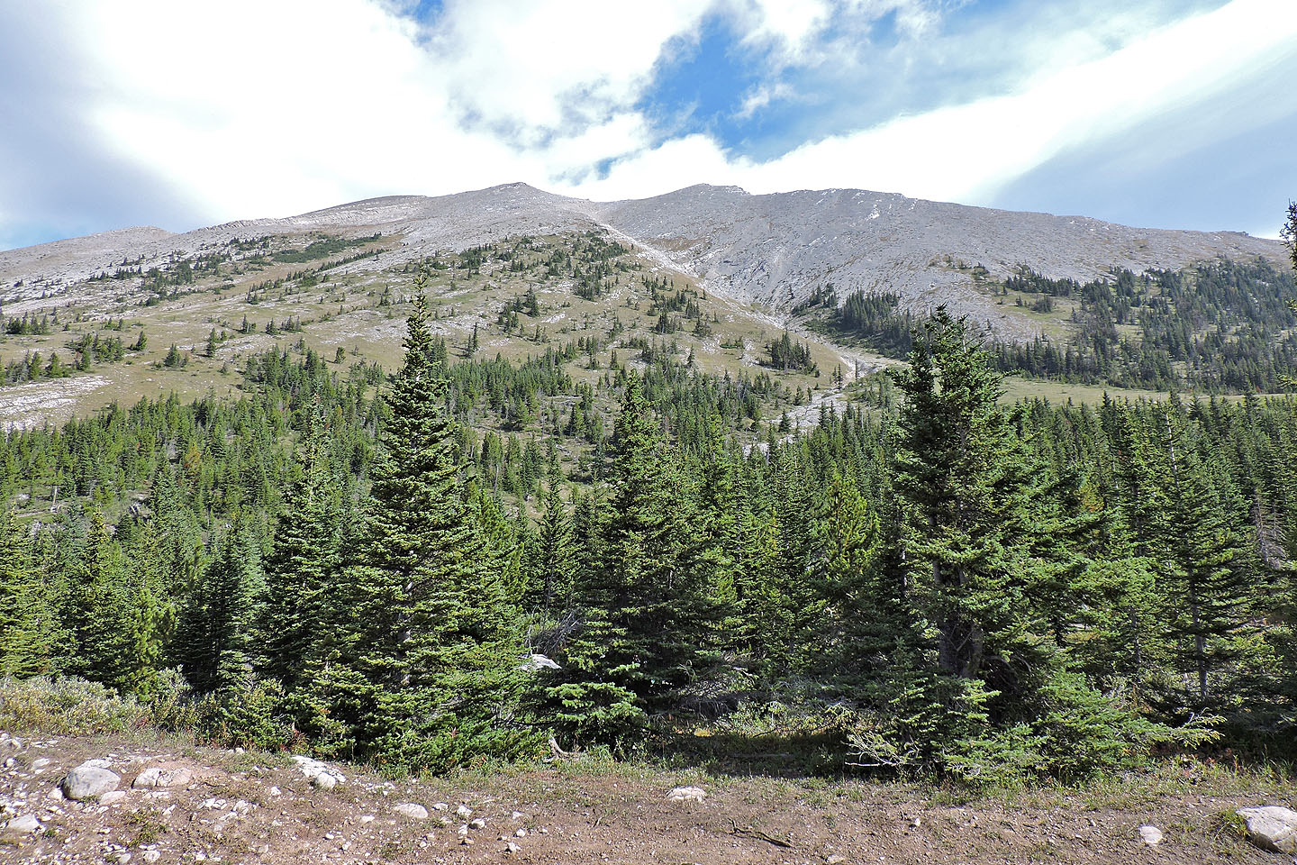
After stepping off the vegetation we faced a rubbly slope going to the ridge
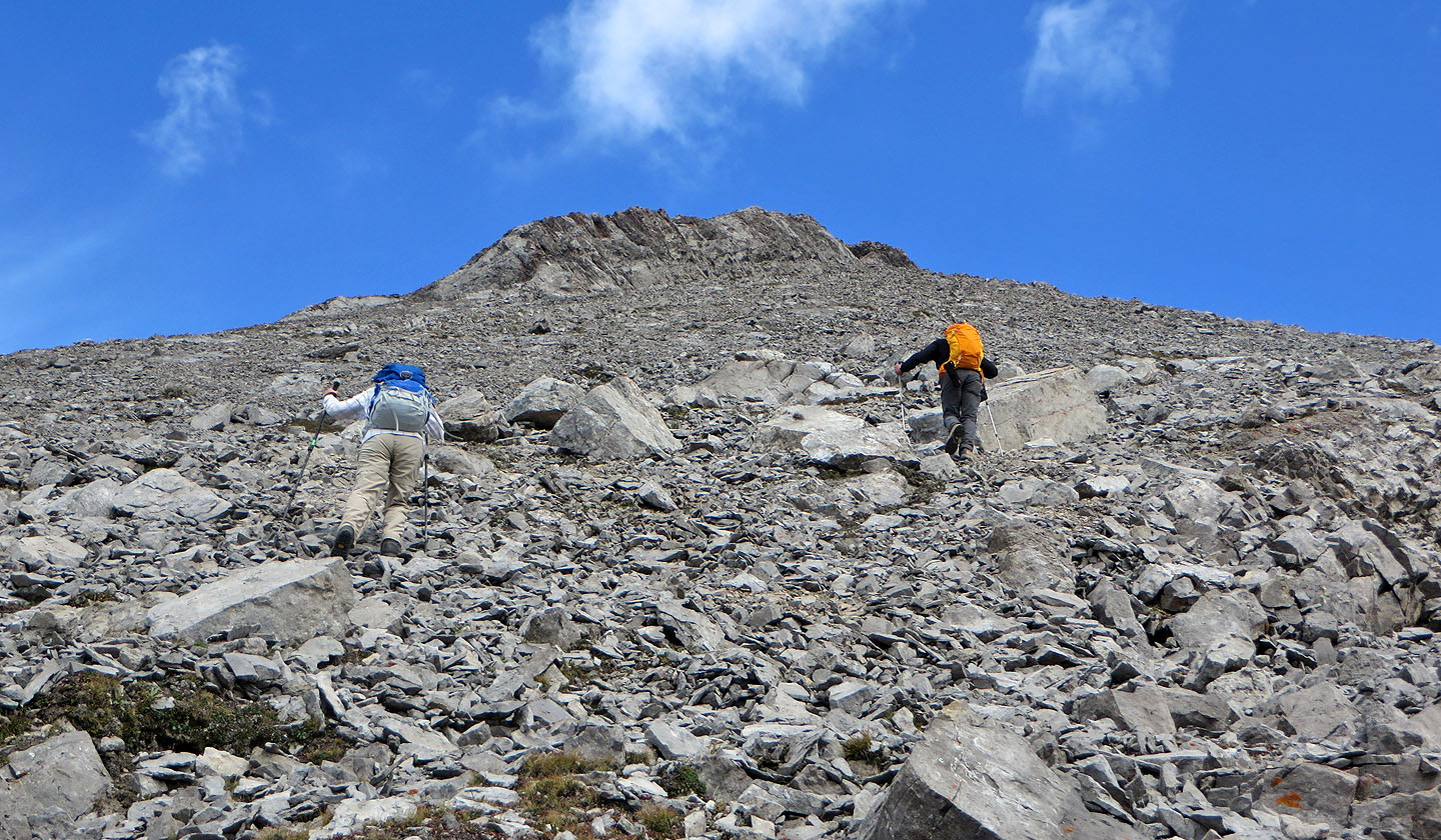
Heading to the high point on the ridge
 Looking down at the pass
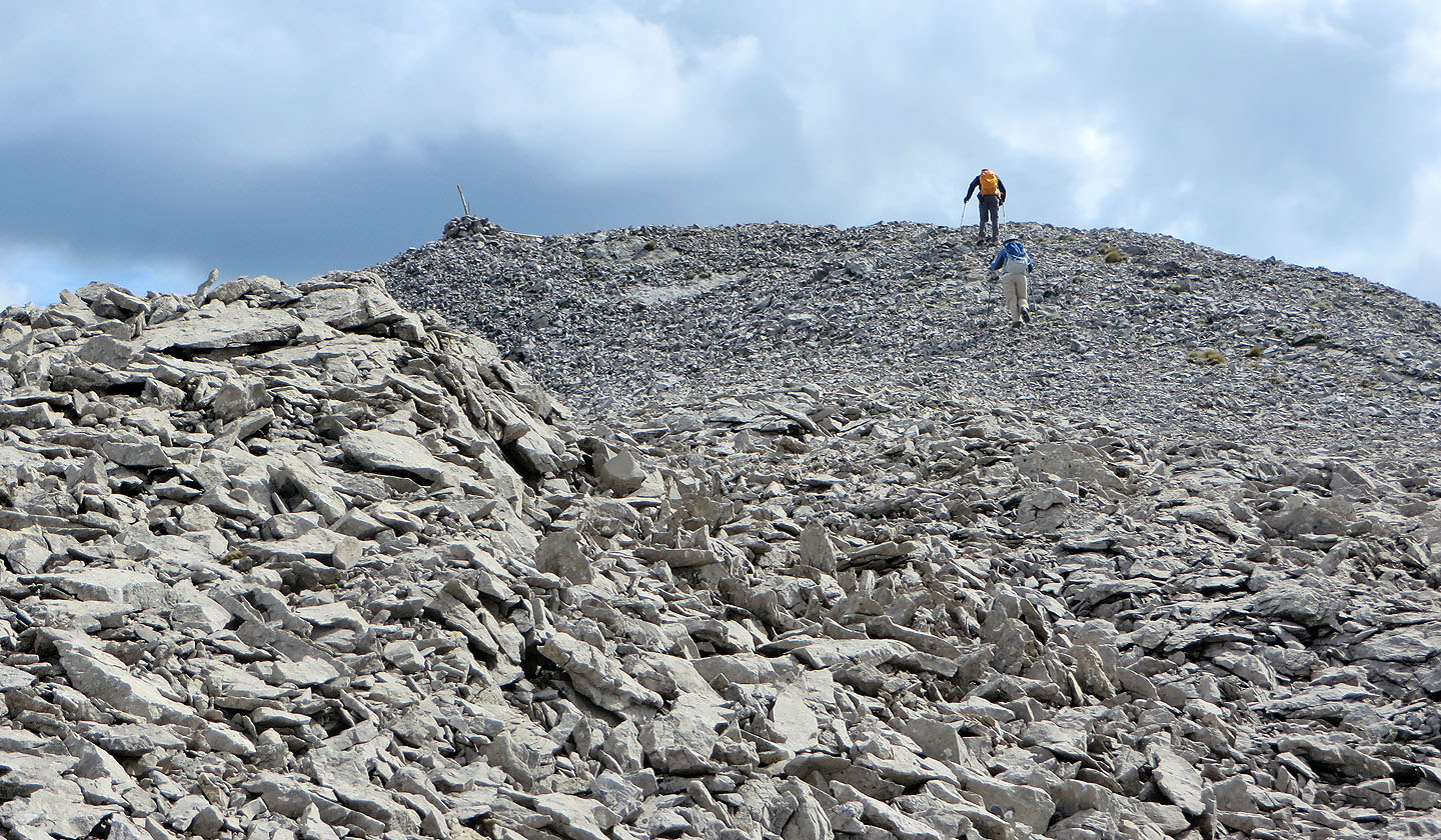
From the high point, the summit cairn is visible
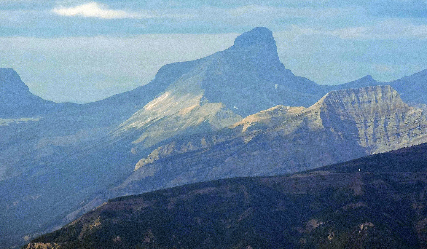
The tower on the false summit of Mount Erickson is apparent
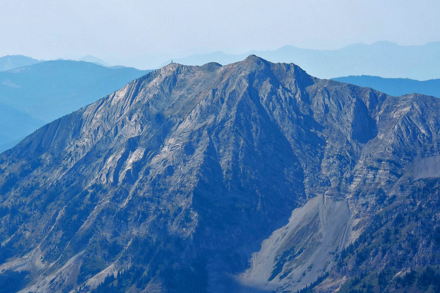
3033 m Mount Washburn lies 30 km west
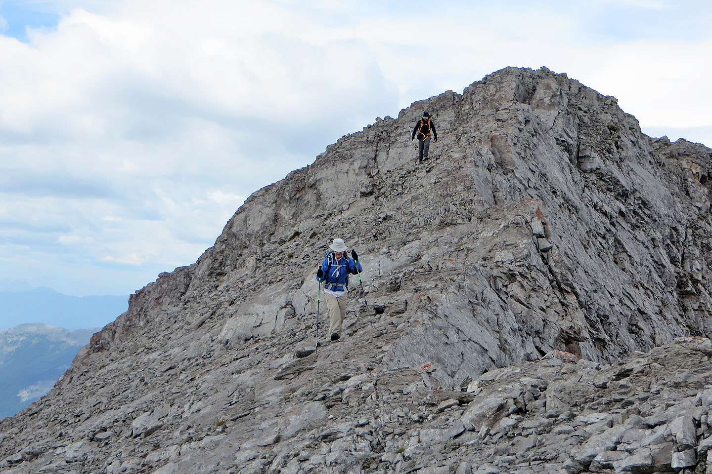
Coming down from the high point
Going into the home stretch on Racehorse Peak, I lead by several lengths
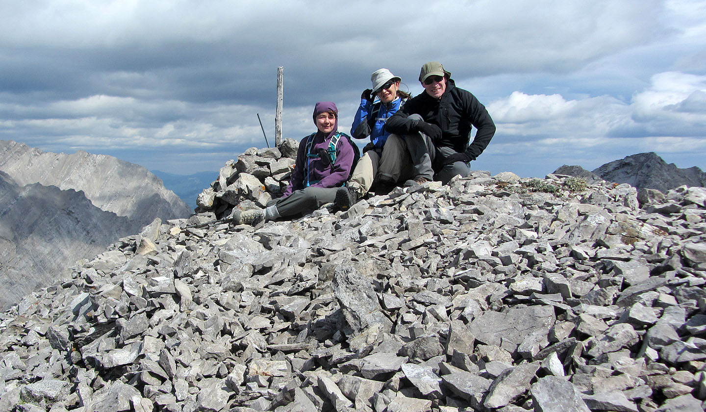
Photo finish on the blustery summit
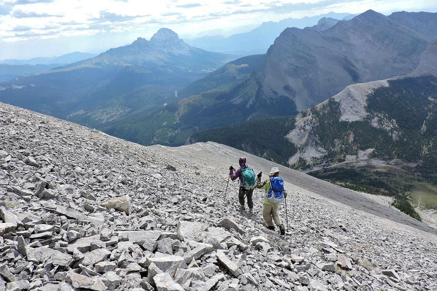
Heading down
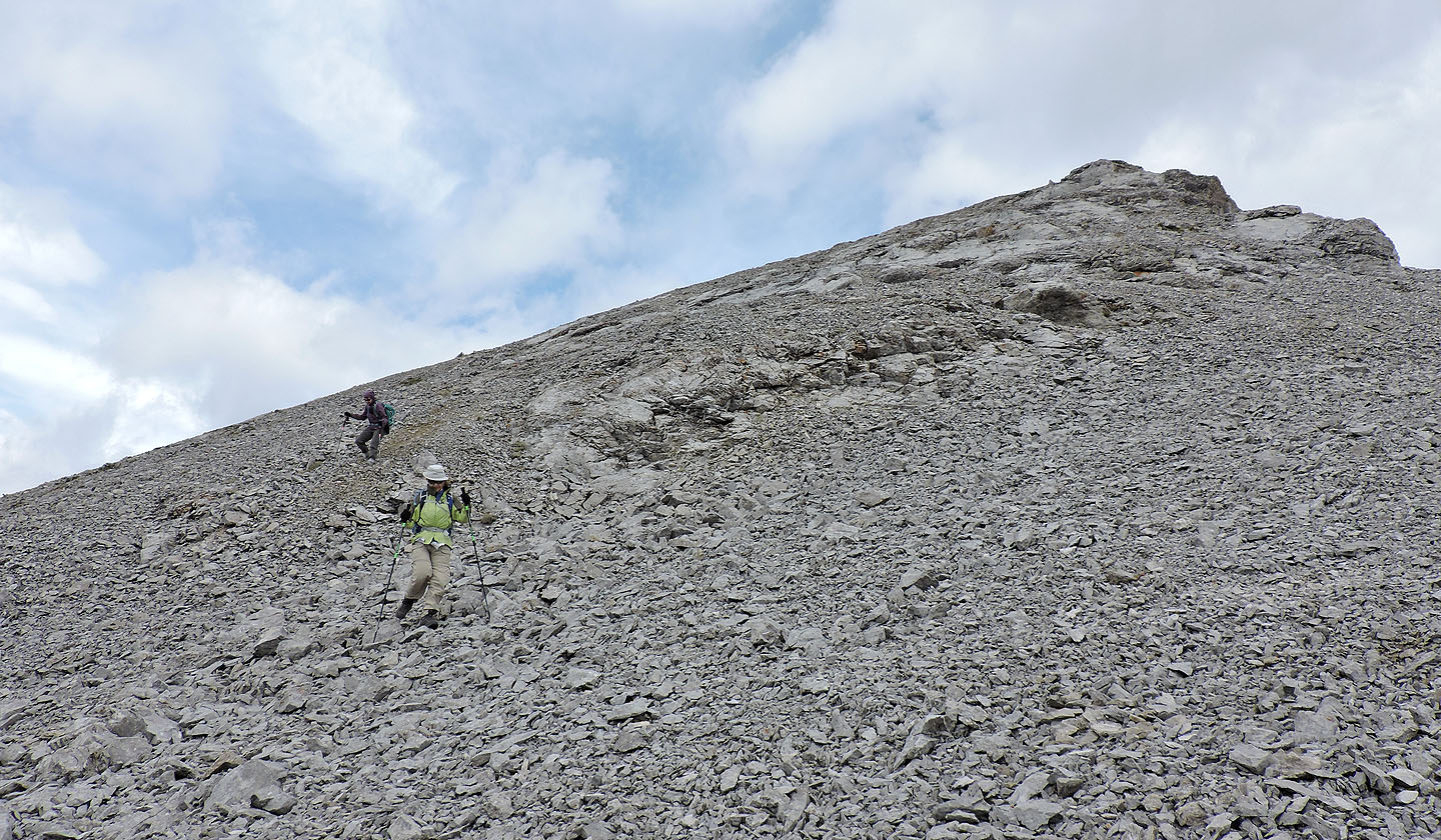
We took advantage of soft scree patches to quicken our descent
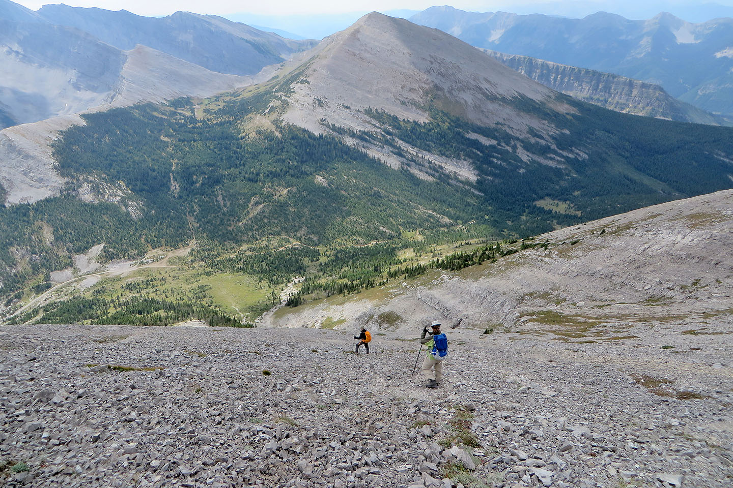
We made our way down the slope to the meadow below
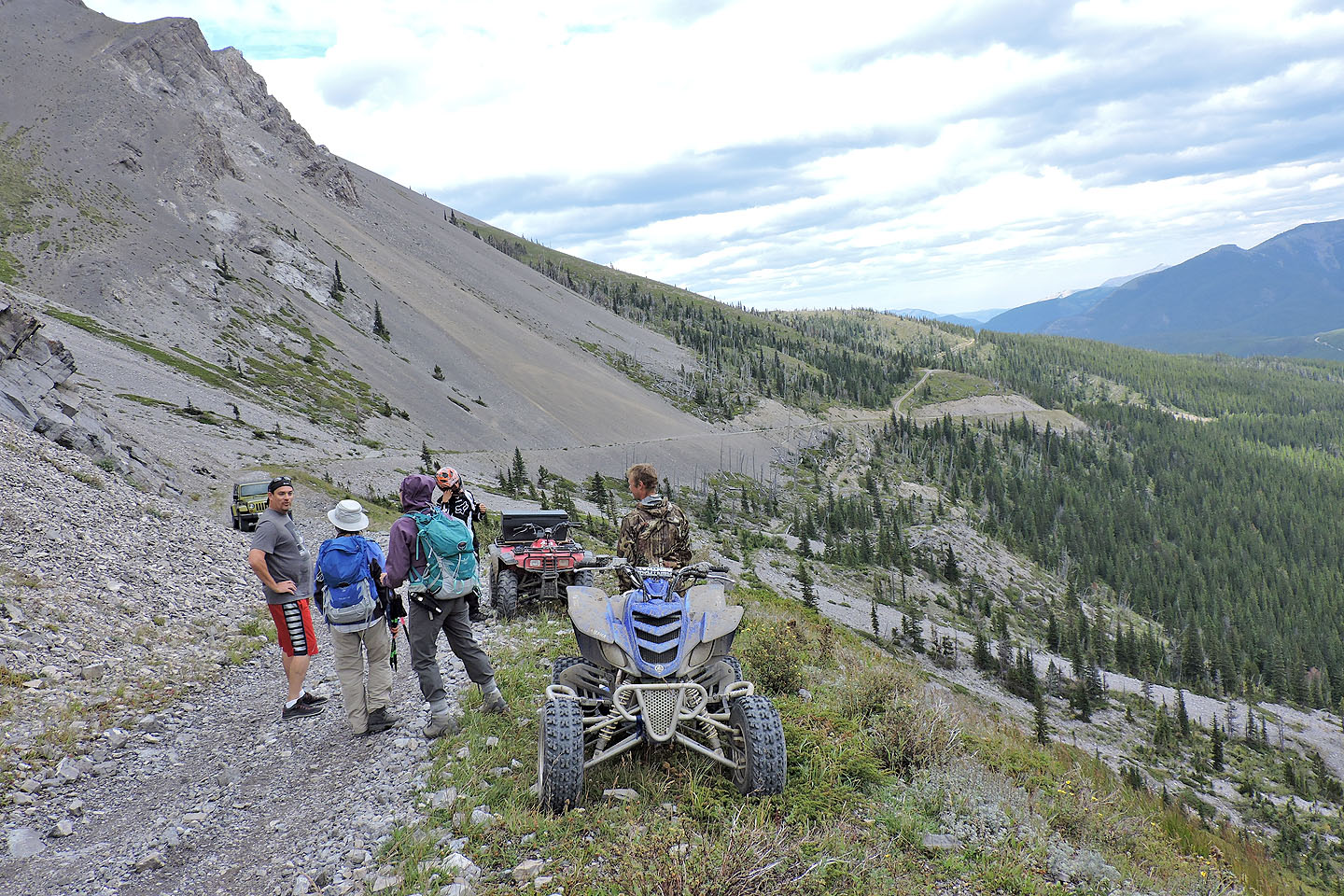
Zora and Dinah talk to Steve (mouse over), the driver of the Jeep Wrangler who gave us a lift back

82 G/15 Tornado Mountain