bobspirko.ca | Home | Canada Trips | US Trips | Hiking | Snowshoeing | MAP | About
Coyote Hills
Kananaskis, Alberta
December 31, 2003
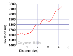
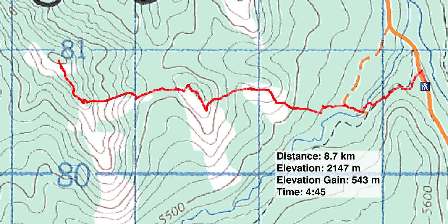
Distance: 8.7 km (5.4 mi)
Cumulative Elevation Gain: 697 m (2287 ft)
Reaching the west and highest point in Coyote Hills is no special feat, and it's hardly rates as a scramble, but it has the advantage of being a late-season trip when hiking trails aren't accessible because of snow.
To get there, Dinah and I followed Baril Creek for a short distance before gaining the ridge on the right. We could have continued farther up the creek, but it would have added distance while offering limited views along the creek. We preferred to take a direct route even though it meant losing 150 m in elevation. After reaching a bare hill, we had to drop down to get on the south ridge that leads to the summit. The trip was straightforward, and there was even a summit cairn!
Coyote Hills seen from
Hell's Ridge
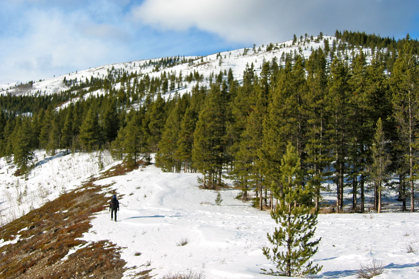
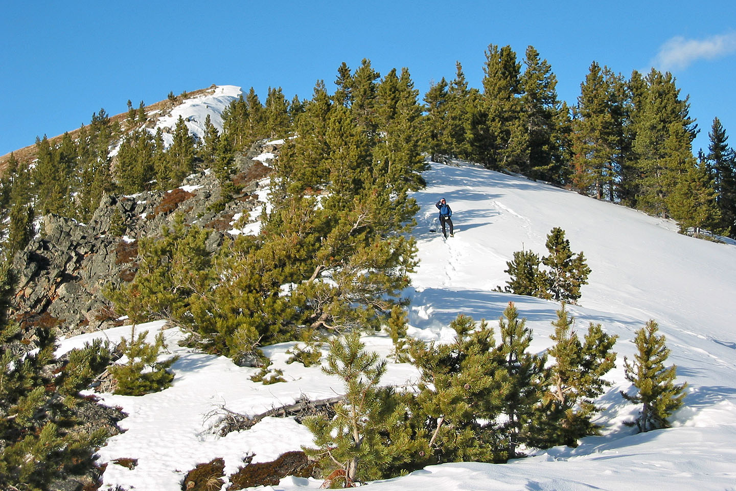
After we left the creek we followed a gentle slope up the hill ahead
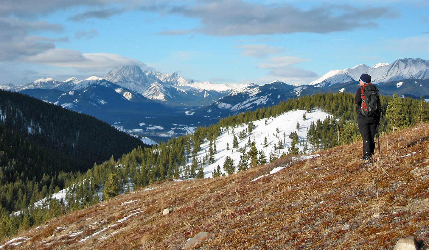
We reached the first hill, but had to drop down to reach the south ridge
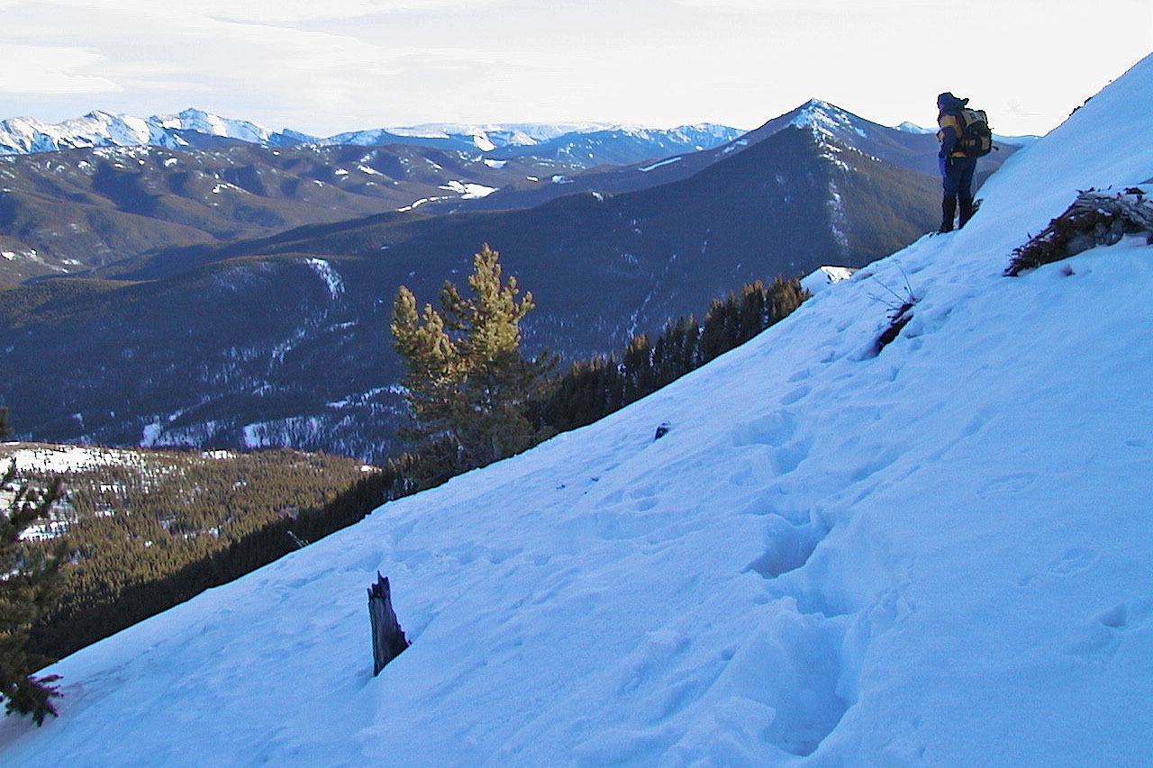
We encountered some deep snow
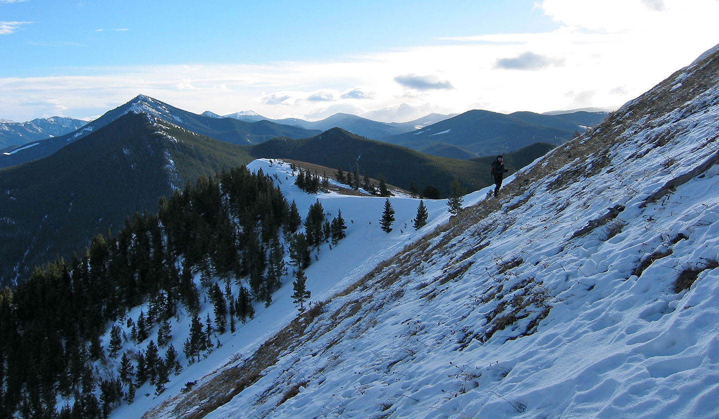
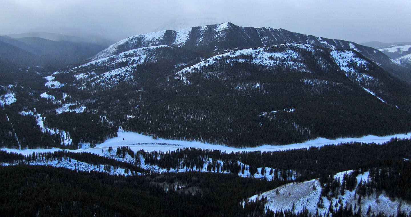
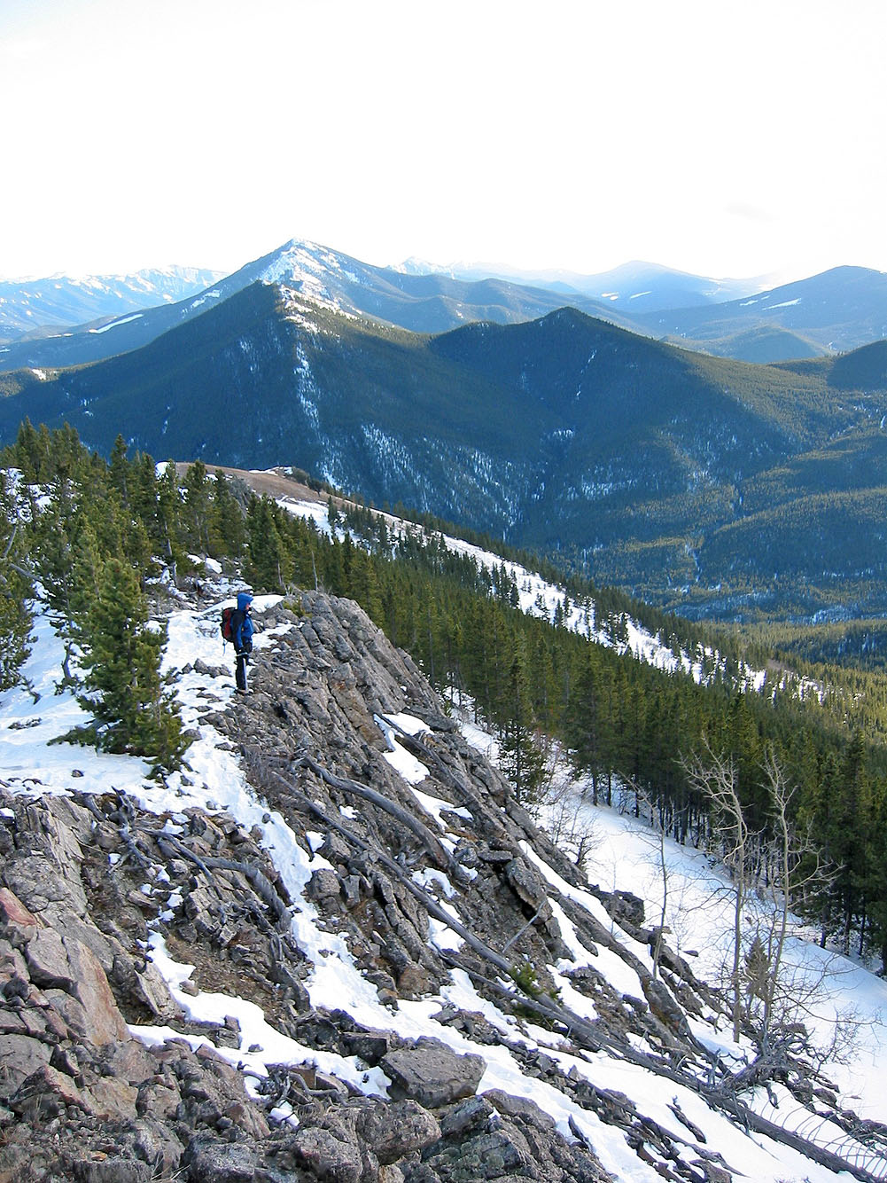
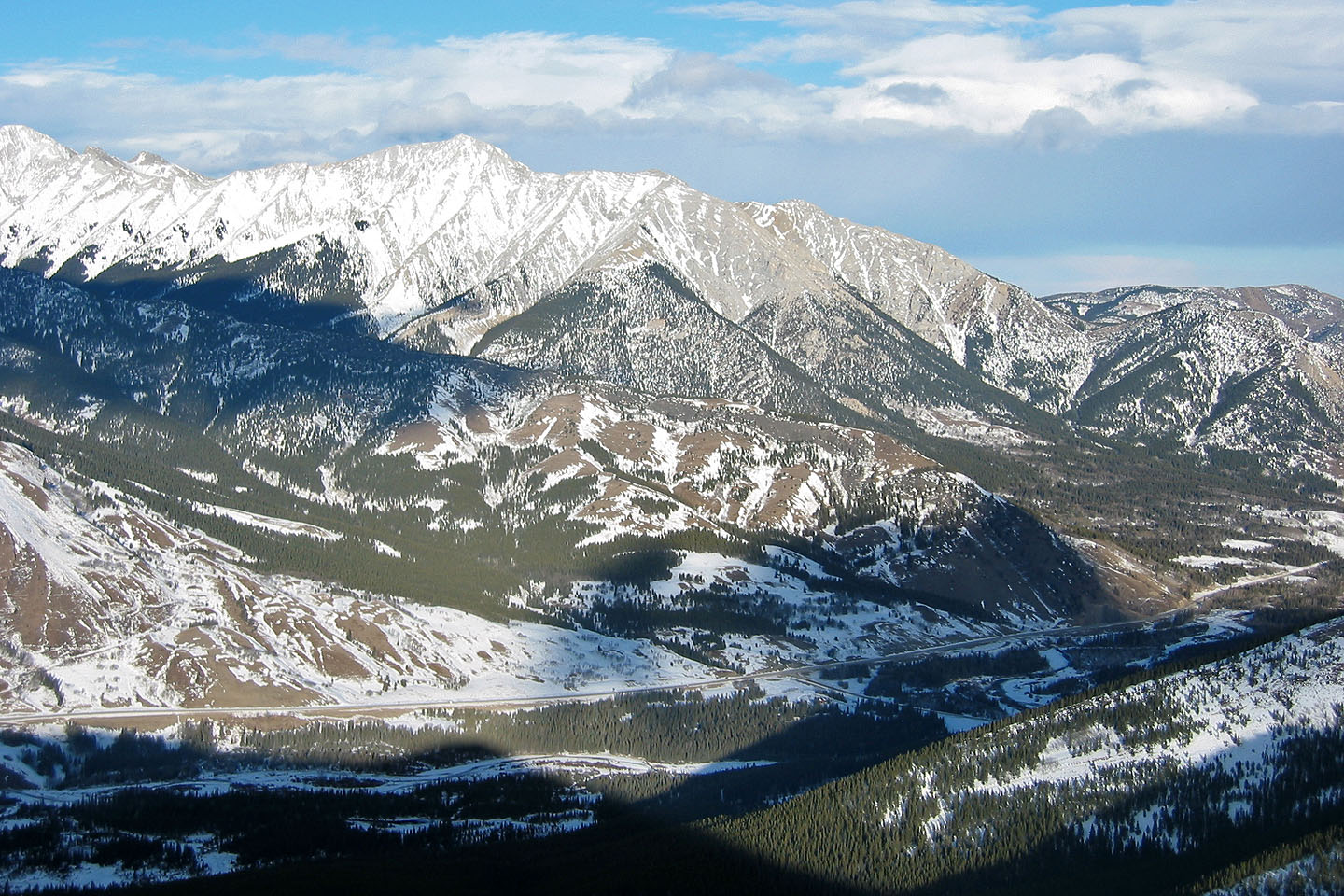
Regaining the elevation. Raspberry Ridge is on the left.
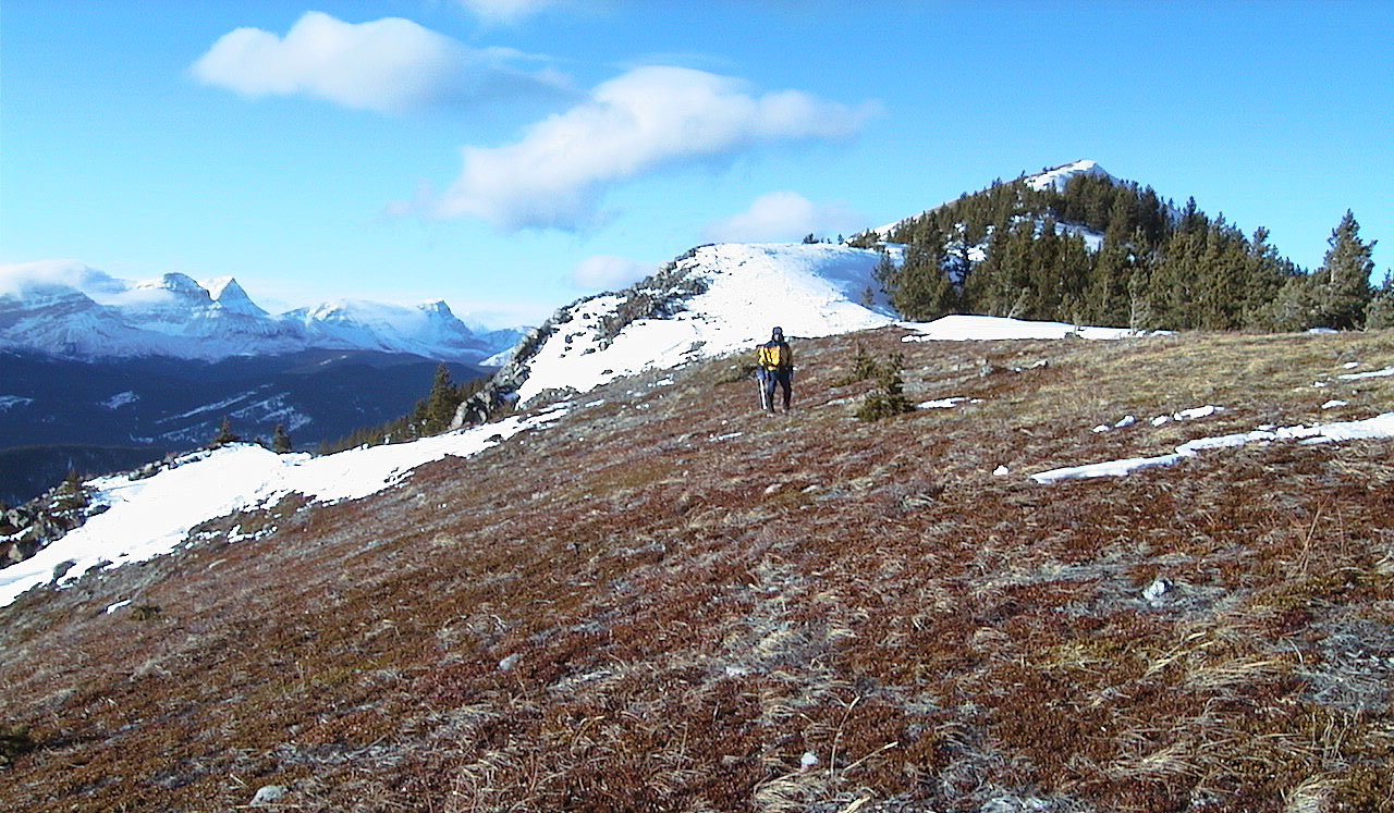
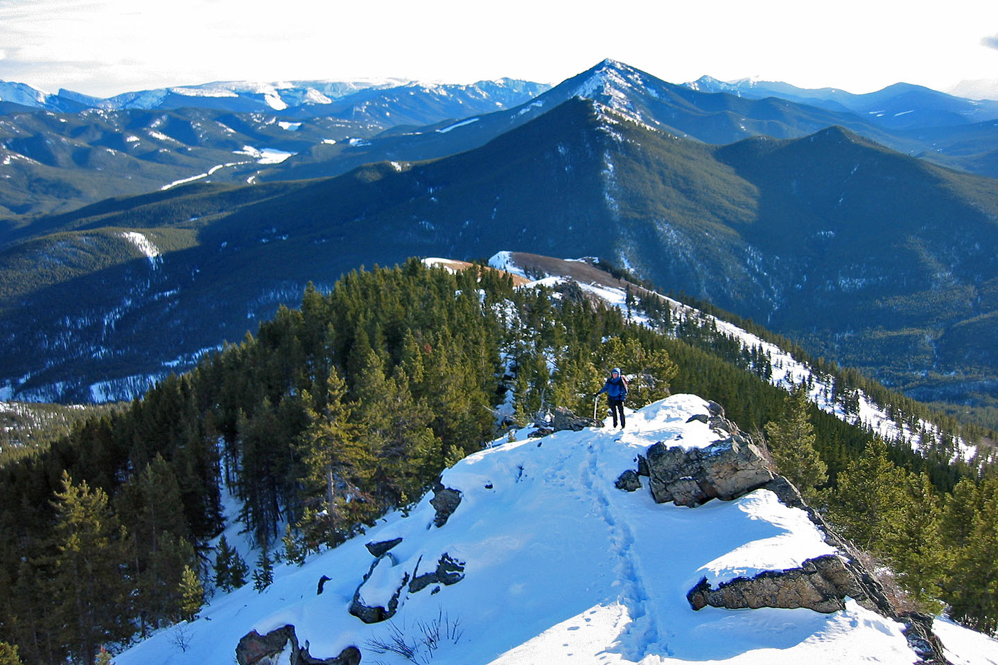
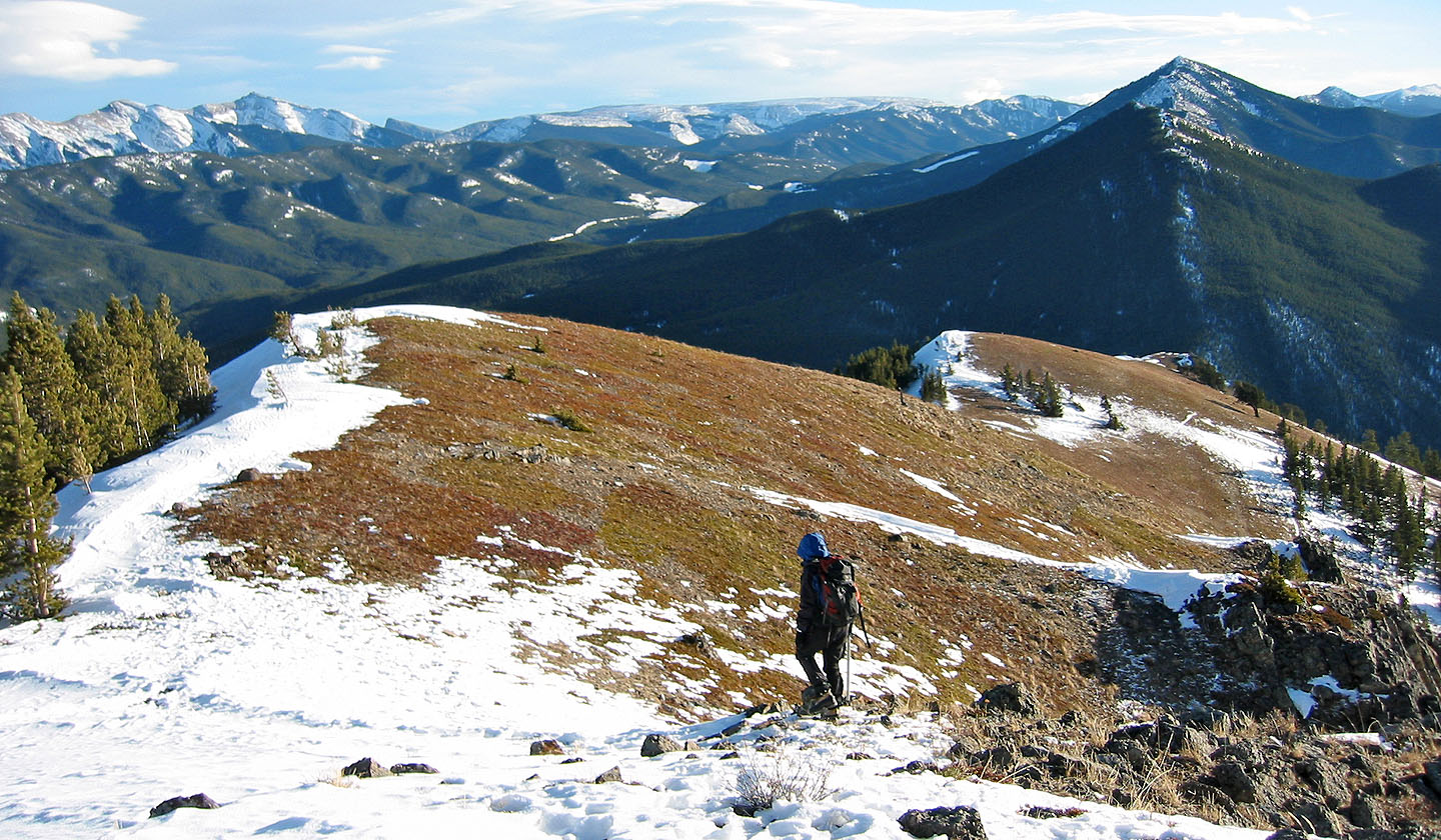
On our way to the highest point
The south ridge was mostly free of trees
About as exciting as it gets!
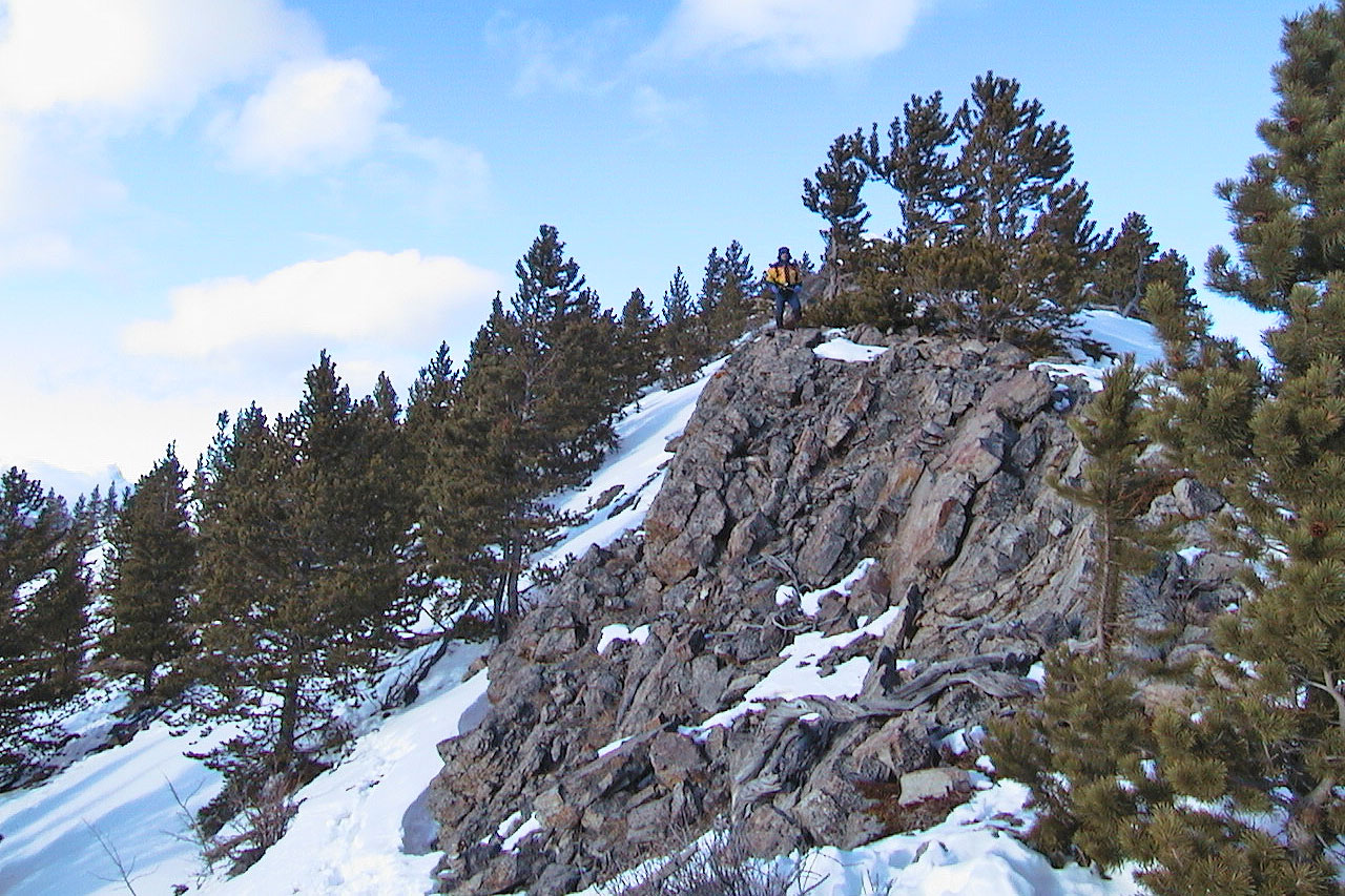
Dinah pauses on a clifftop to look around
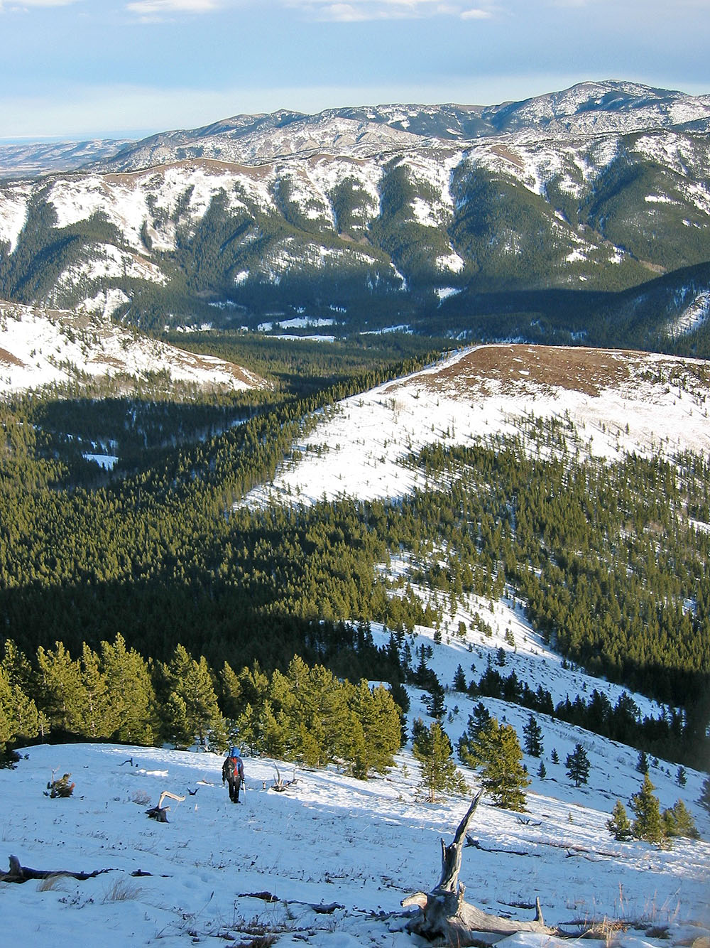
Looking back from near the summit
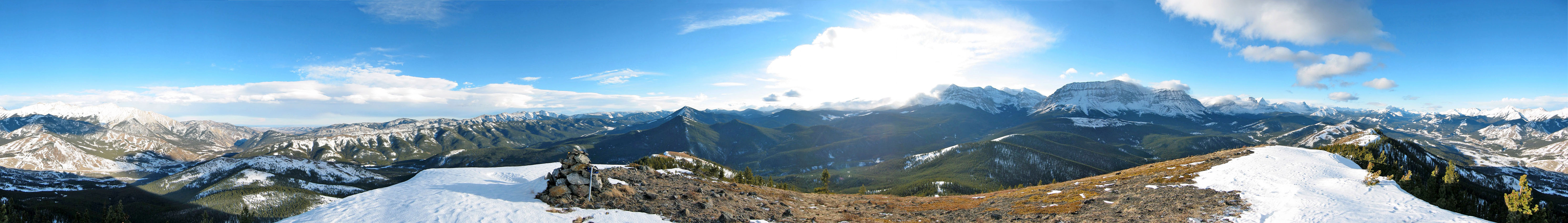
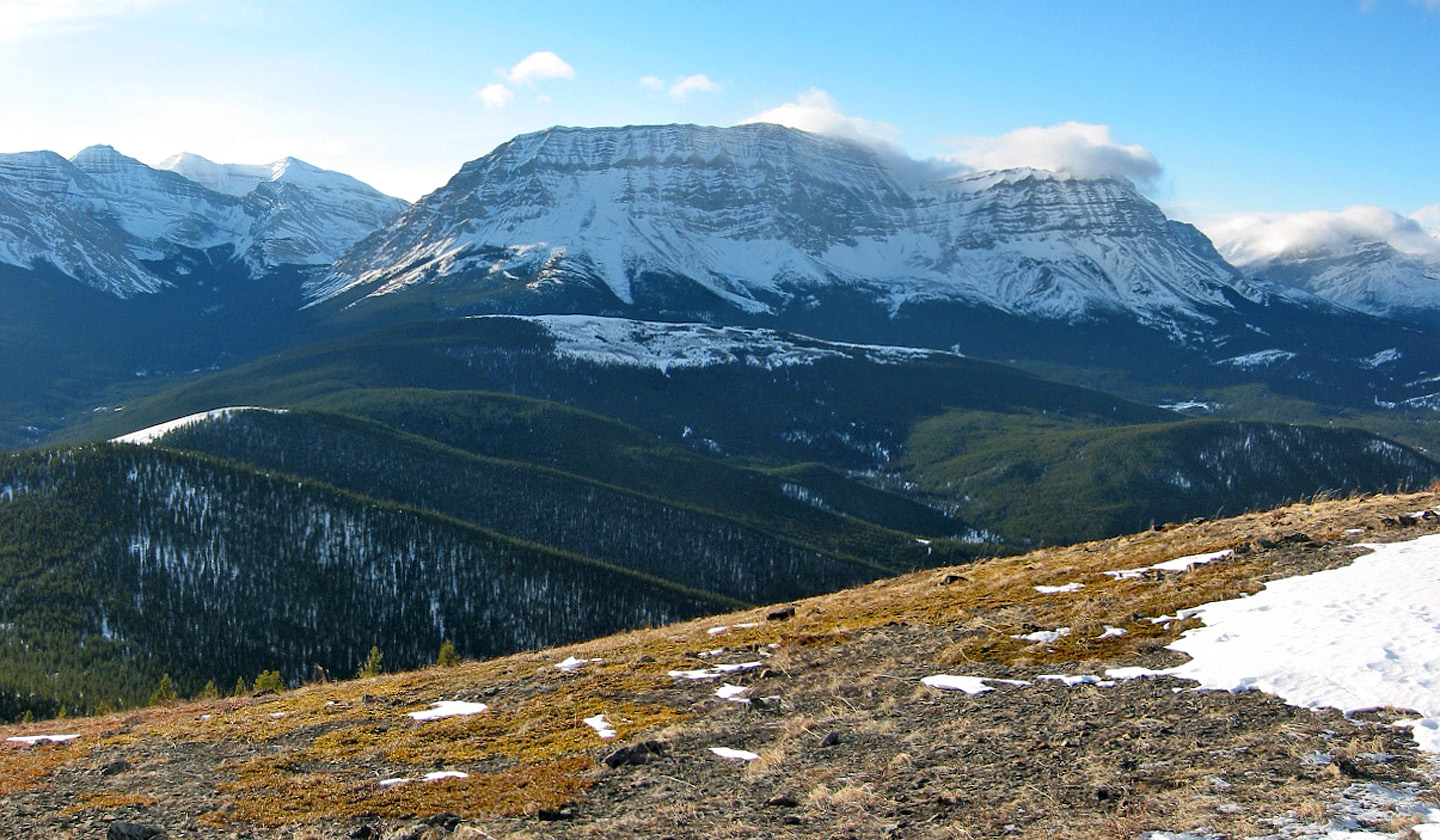
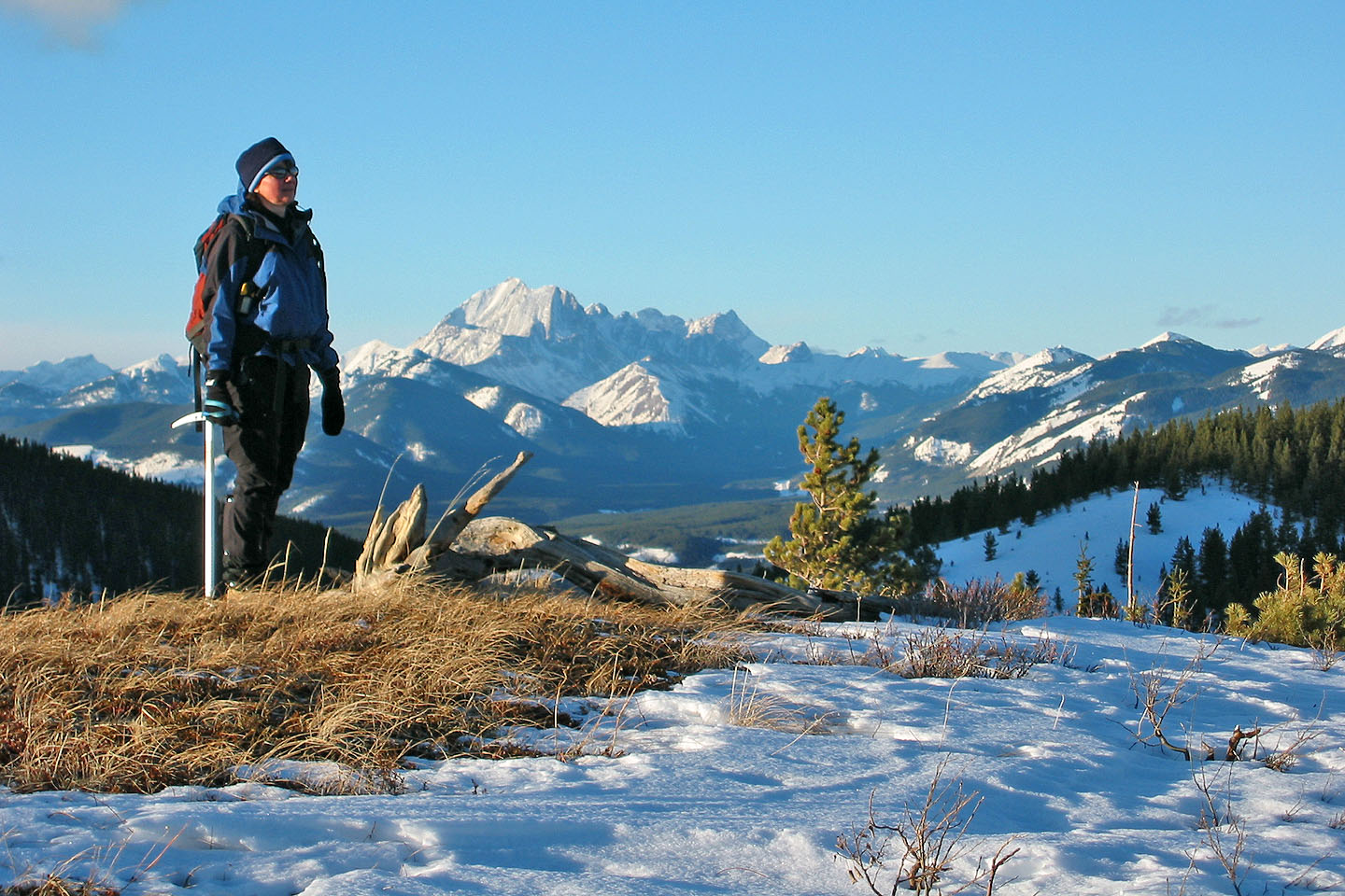
Holy Cross Mountain lies southeast
 Armstrong Mountain lies west. Below it is Coyote Hills West.
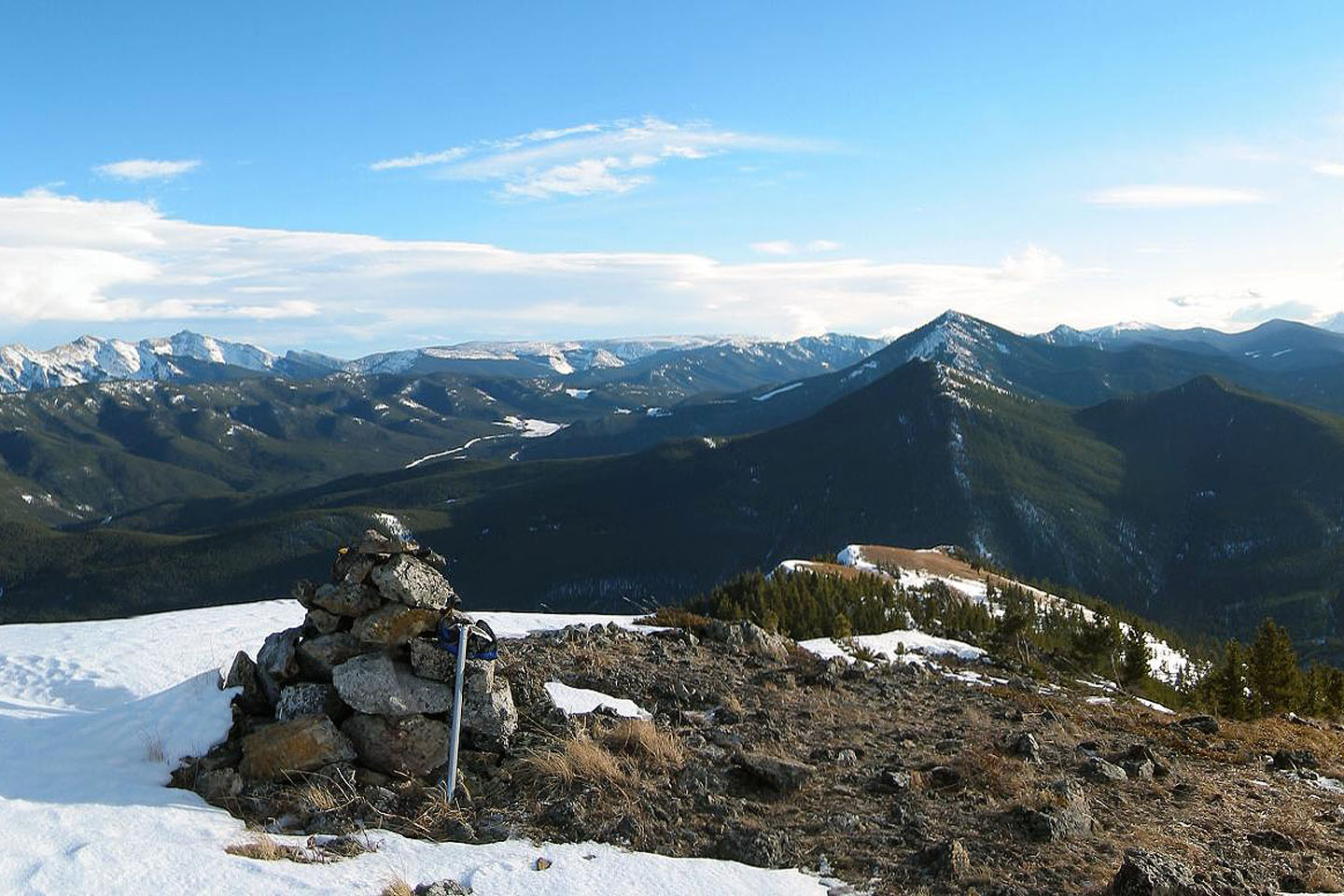
Summit cairn
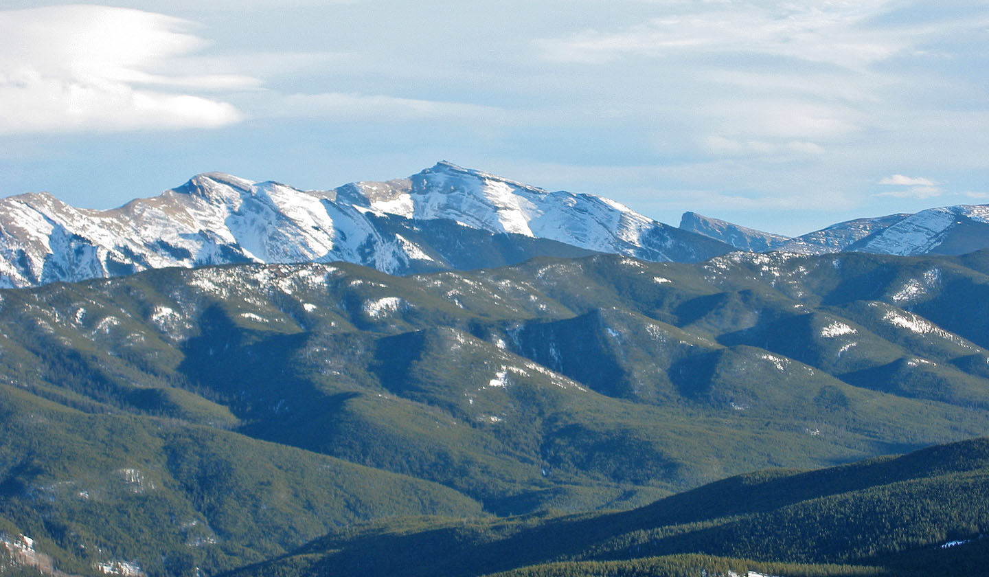
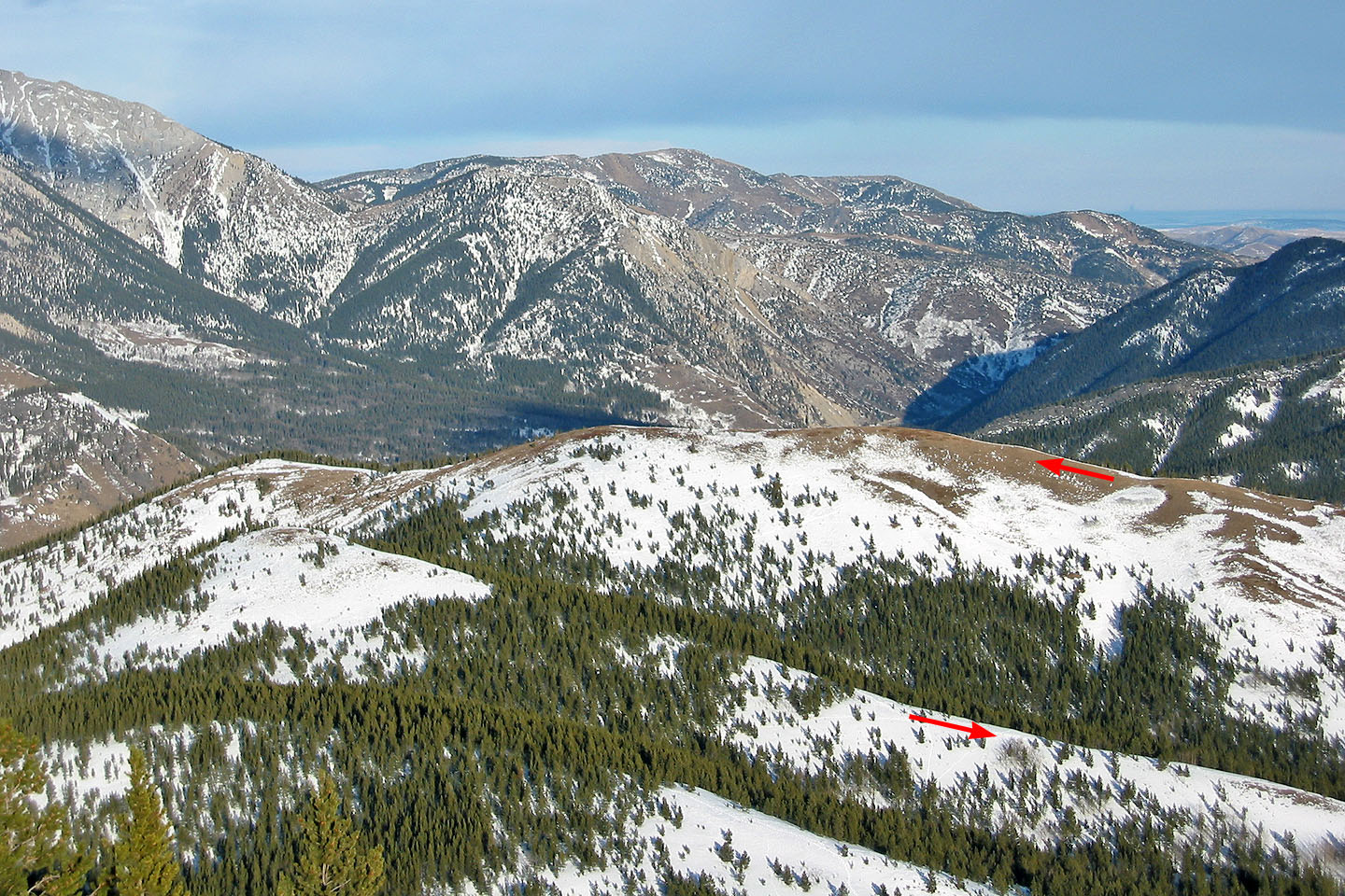
Hailstone Butte in the background rises well above Hell's Ridge in the foreground
Heading back down. Raspberry Ridge on the right.
We retraced our steps to the bare hill ahead
Back on the first hill
82 J/7 Mount Head