bobspirko.ca | Home | Canada Trips | US Trips | Hiking | Snowshoeing | MAP | About
Boom Mountain (attempt)
Kootenay, B.C.
September 19, 2009
I could find no information about Boom Mountain other than Rick Collier's winter ascent posted on bivouac.com where he skied up the south valley – Chickadee Valley – to reach the west col and then hiked to the top.
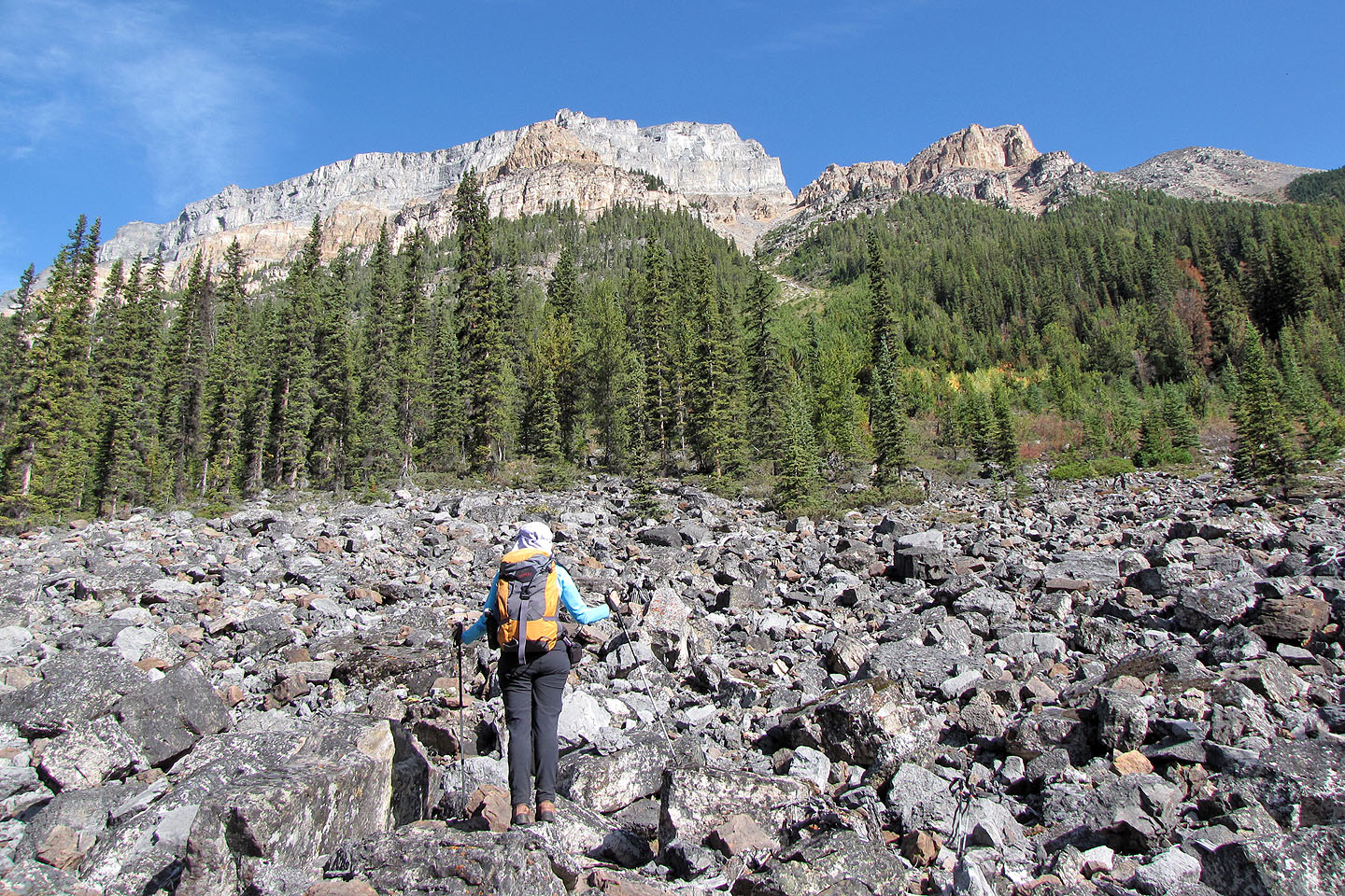
From Vermillion Pass we followed a trail for a short distance before it ended in bushes and deadfall. Our progress was slow due to extreme bushwhacking and after covering only 2.5 km in an hour and a half – about half way to the col – it was apparent we wouldn't have enough daylight to complete the trip. So we aborted our summit bid and instead hiked up a nearby drainage.
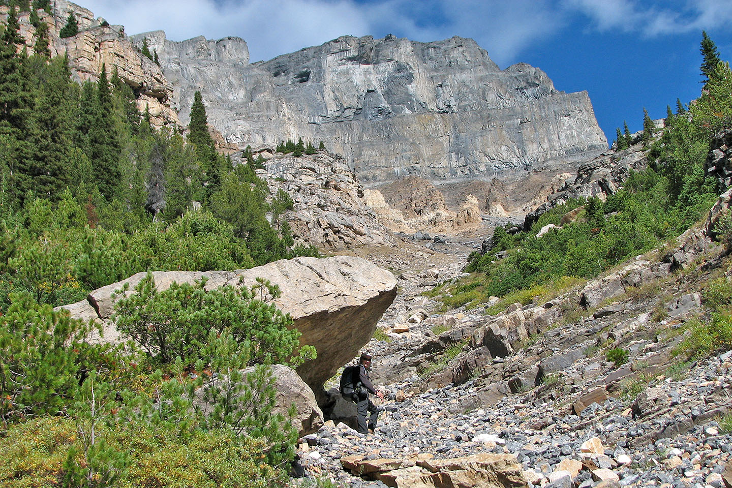
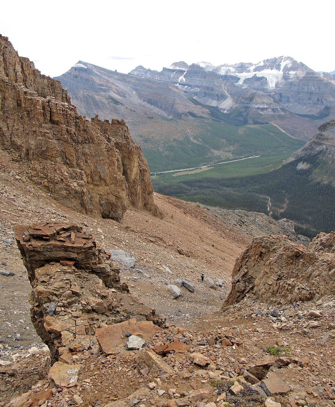
We found no pleasure in ascending the drainage since it was steep and filled with loose rock. Tiring of it, we headed right but rubbly, steep terrain still hindered our progress. We turned back after climbing 900 m when it started to rain but not before taking in the fascinating landscape.
I don't know if we'll ever return to Boom Mountain, but at least we'll know what to expect next time.
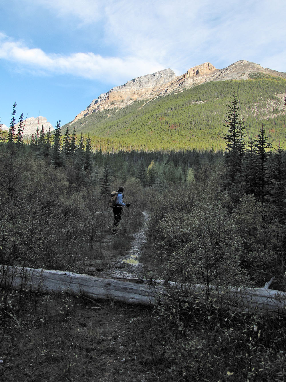
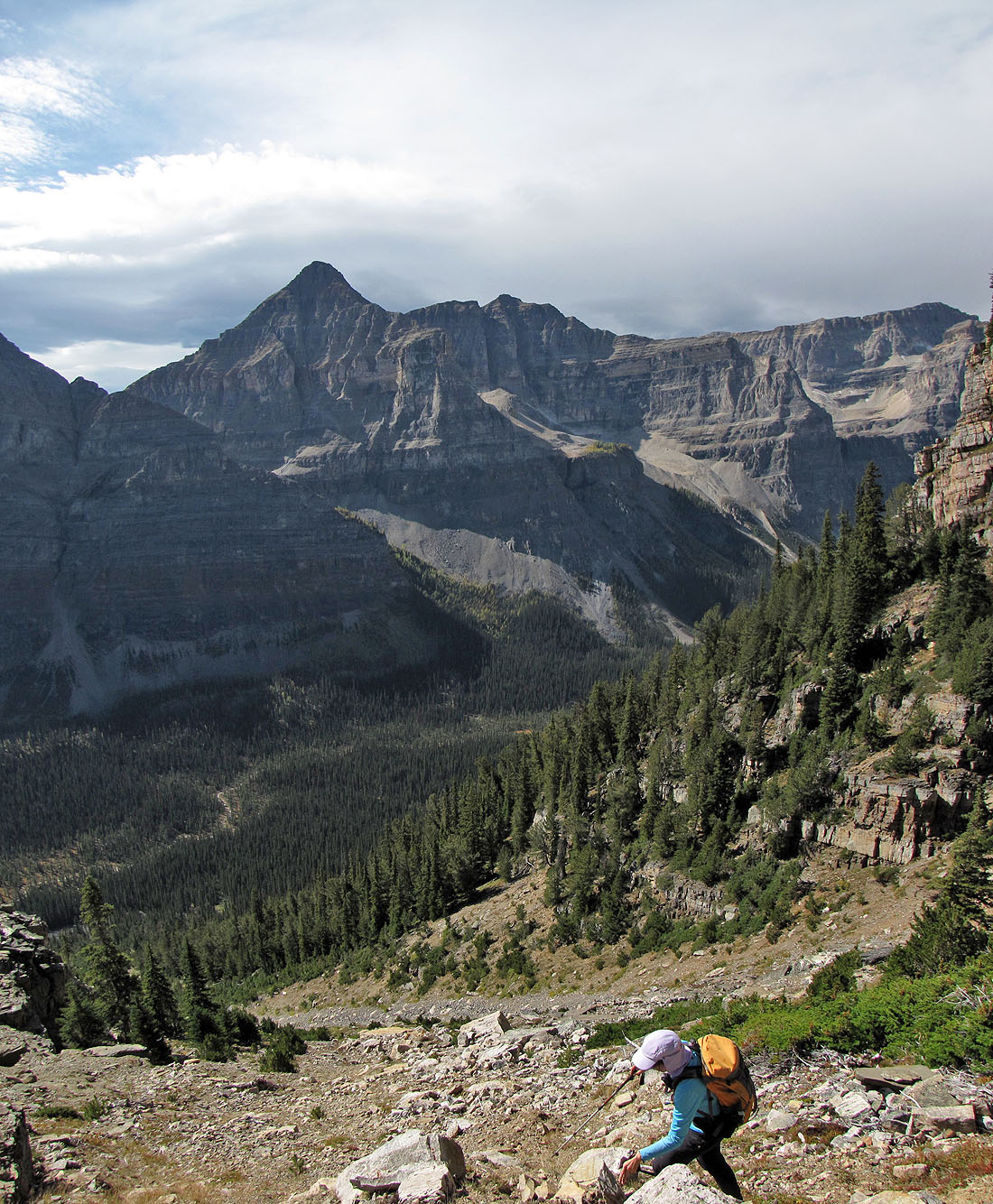
We had planned to reach the col on the left but instead ascended the
drainage left of the orange peak.
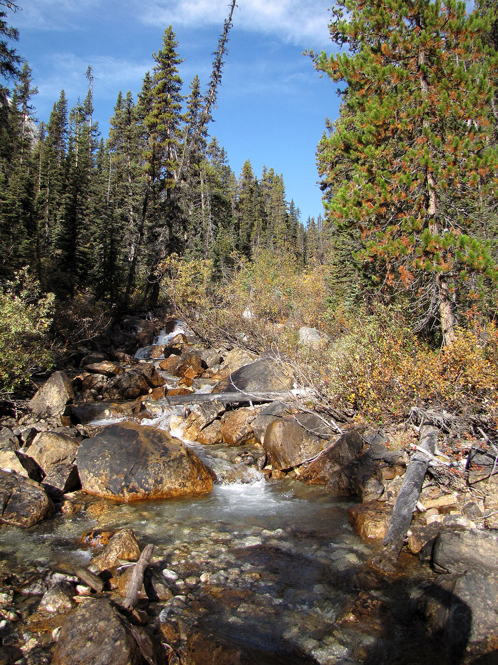
We encountered difficult bushwhacking along the creek, but venturing into
the forest, at least at first, was worse because of deadfall.
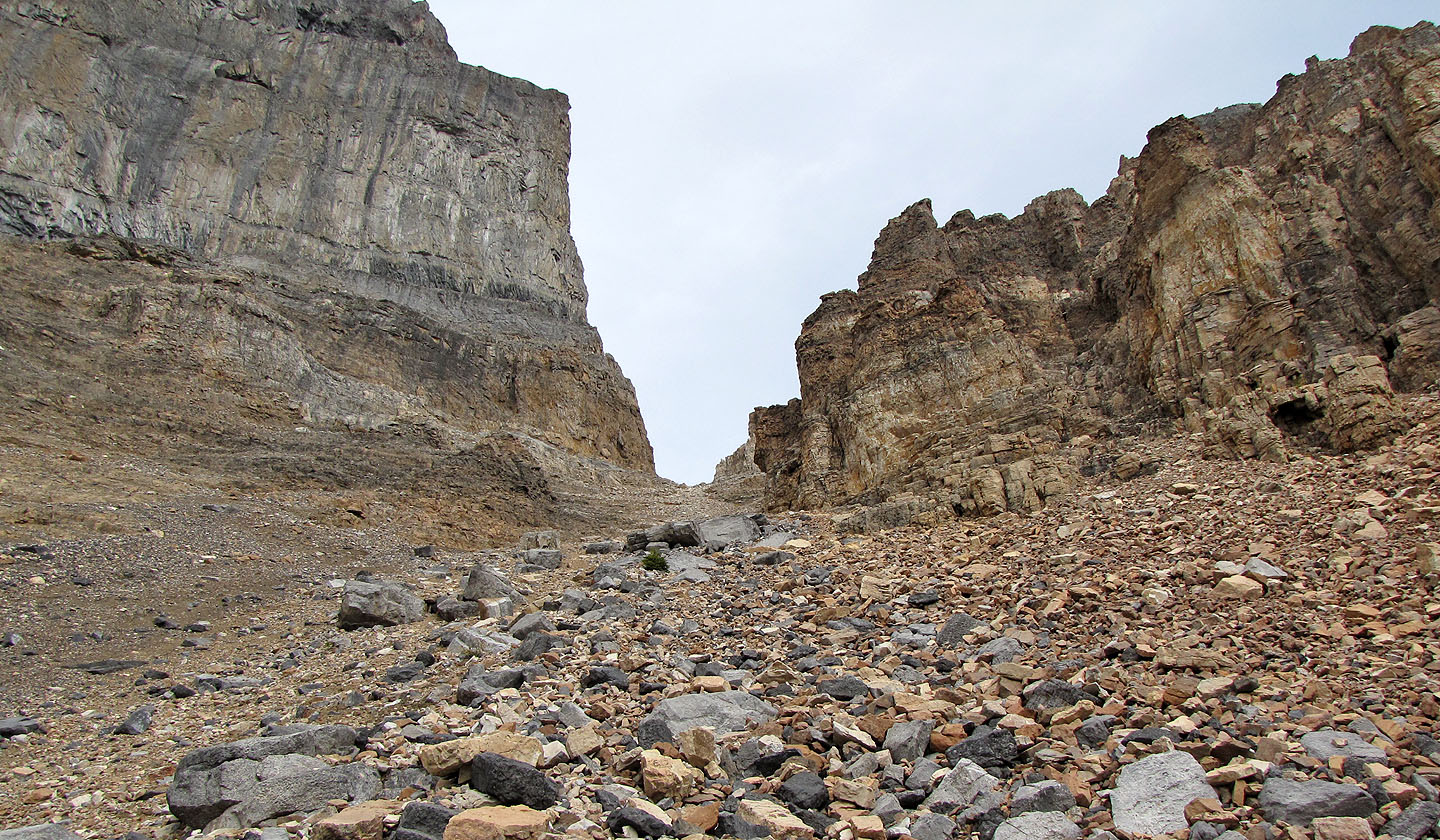
The col is still far off
Although travel alongside the creek was awful, it had its moments
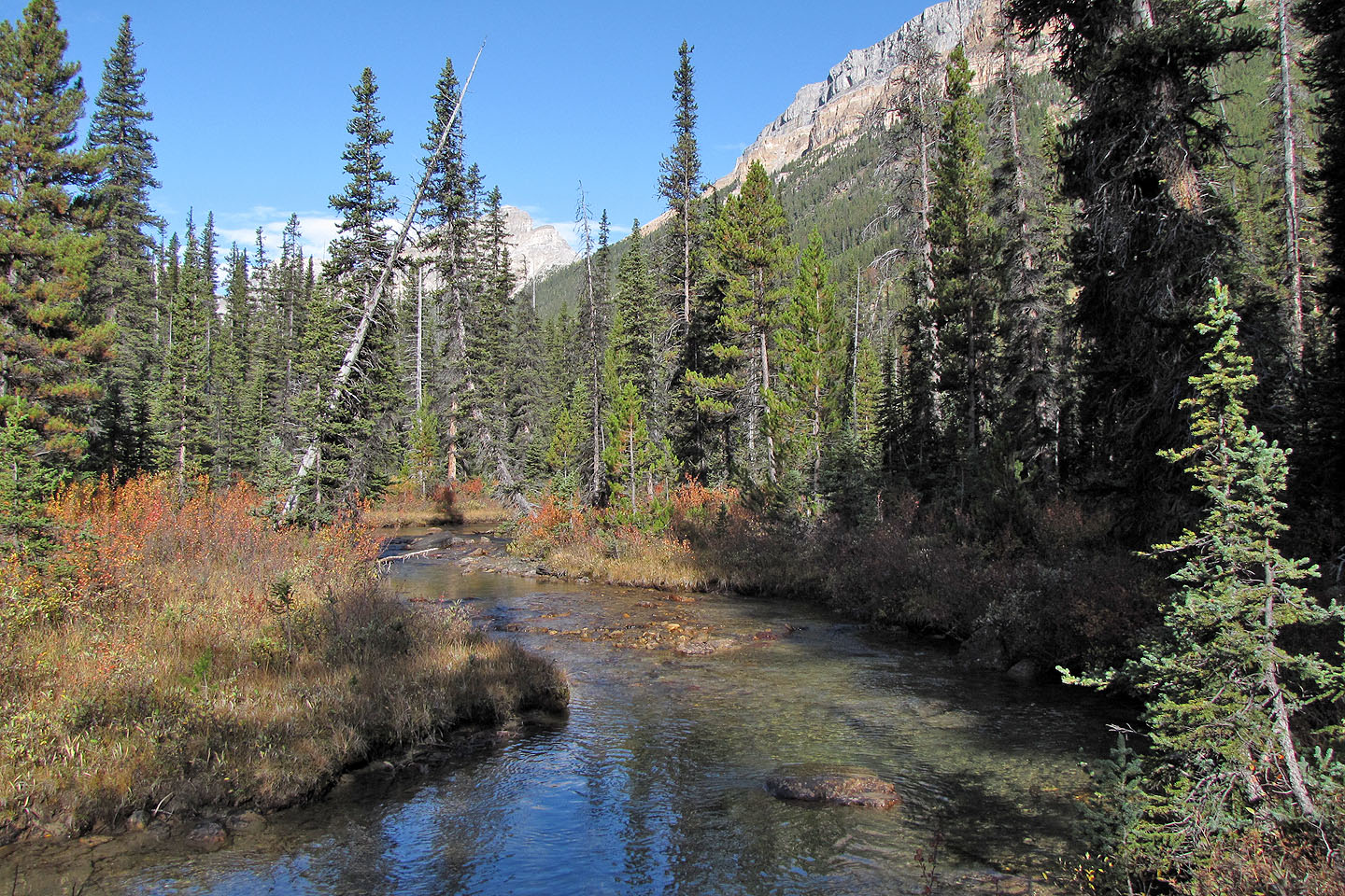
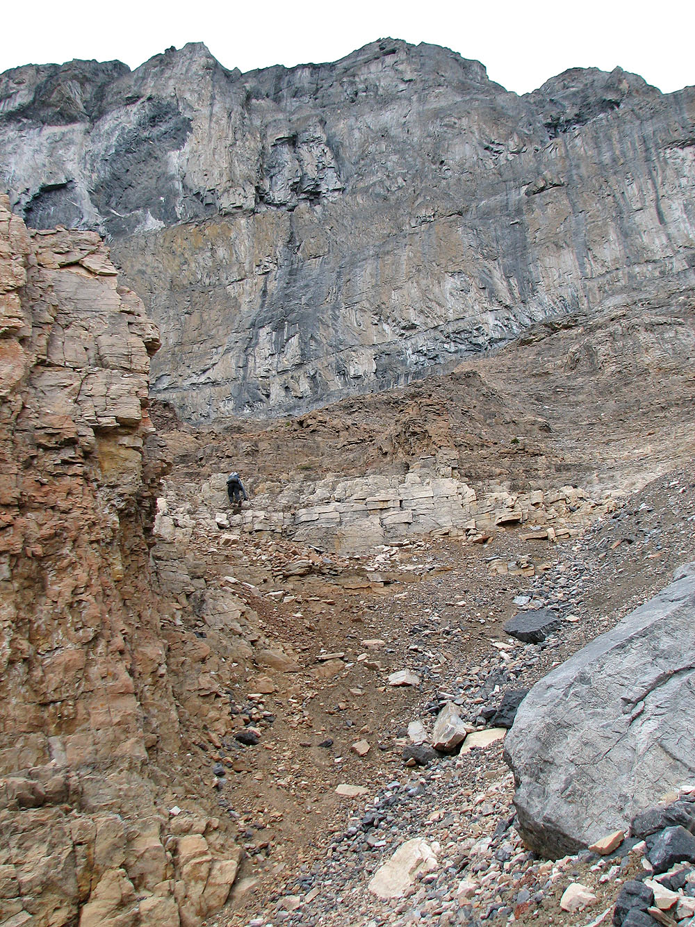
We ascended the drainage above us
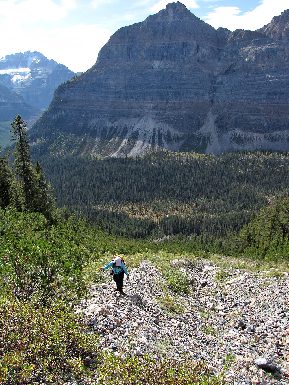
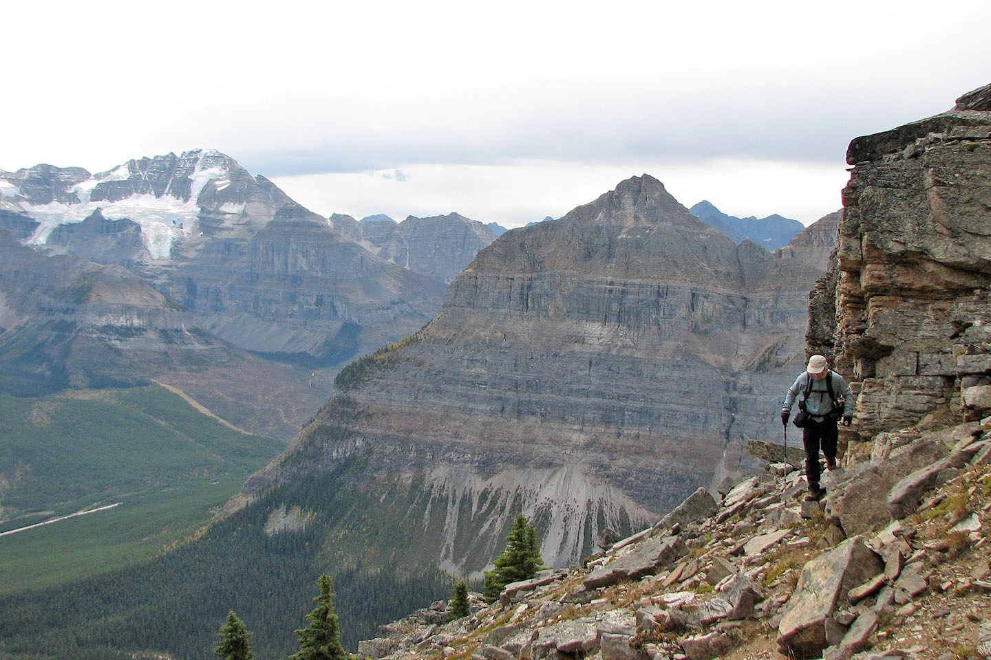
We left the valley far below
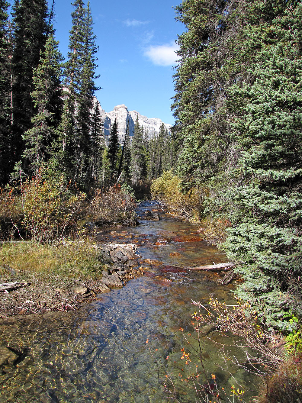
The foreshortened view was misleading: the terrain was much steeper than it looked
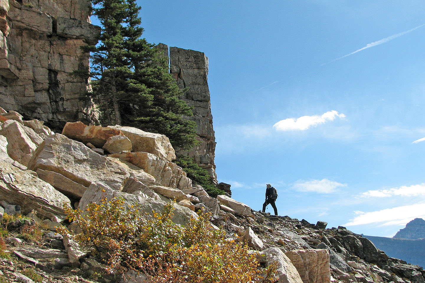
We left the drainage to ascend the slope. Again it was steeper than it appears.
We leave the drainage below. Mount Whymper in the background.
Although we stayed close to the drainage, I checked around the corner (mouse over)
Looking west across the drainage
Stanley Peak in the background (mouse over)
Clouds began to move in
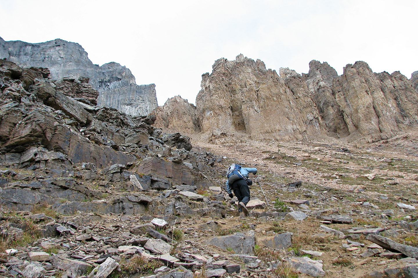
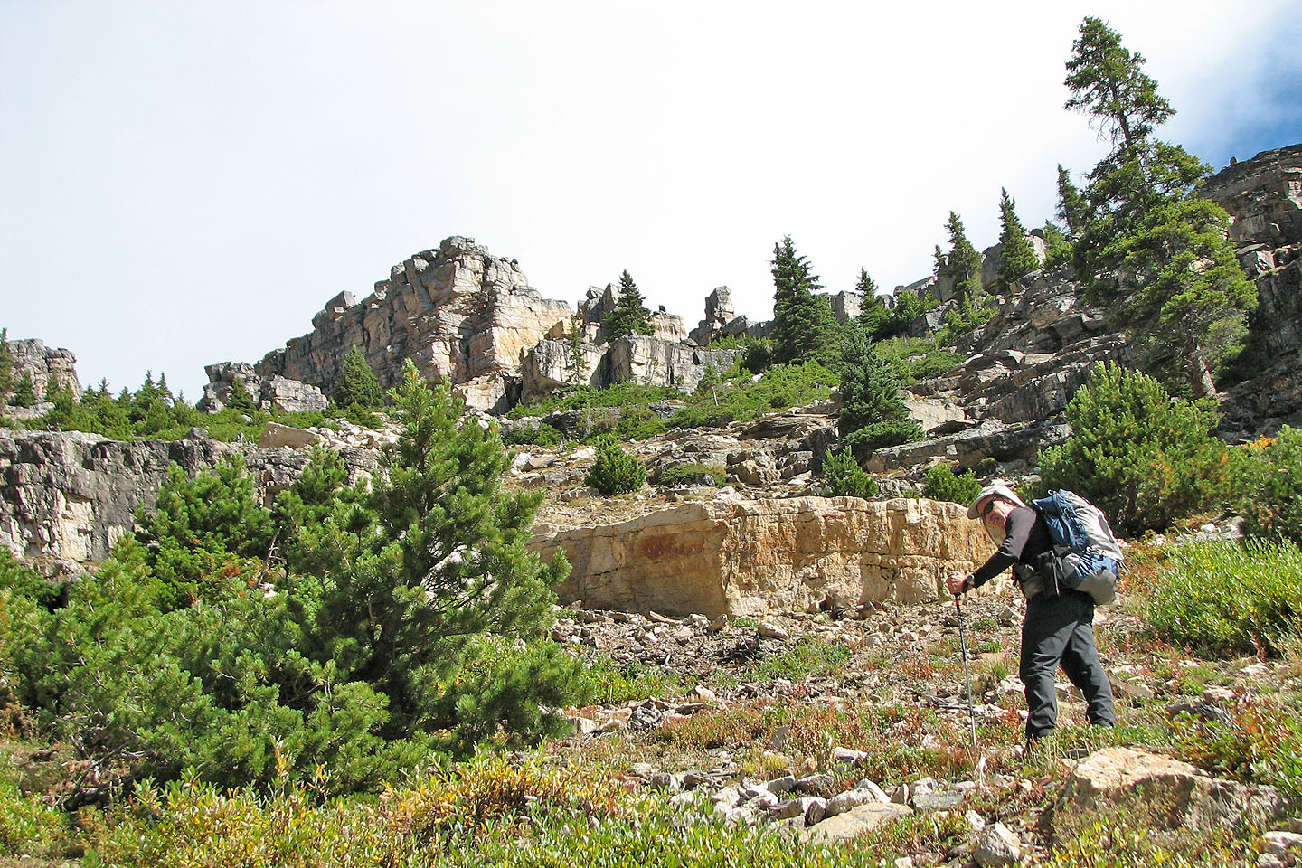
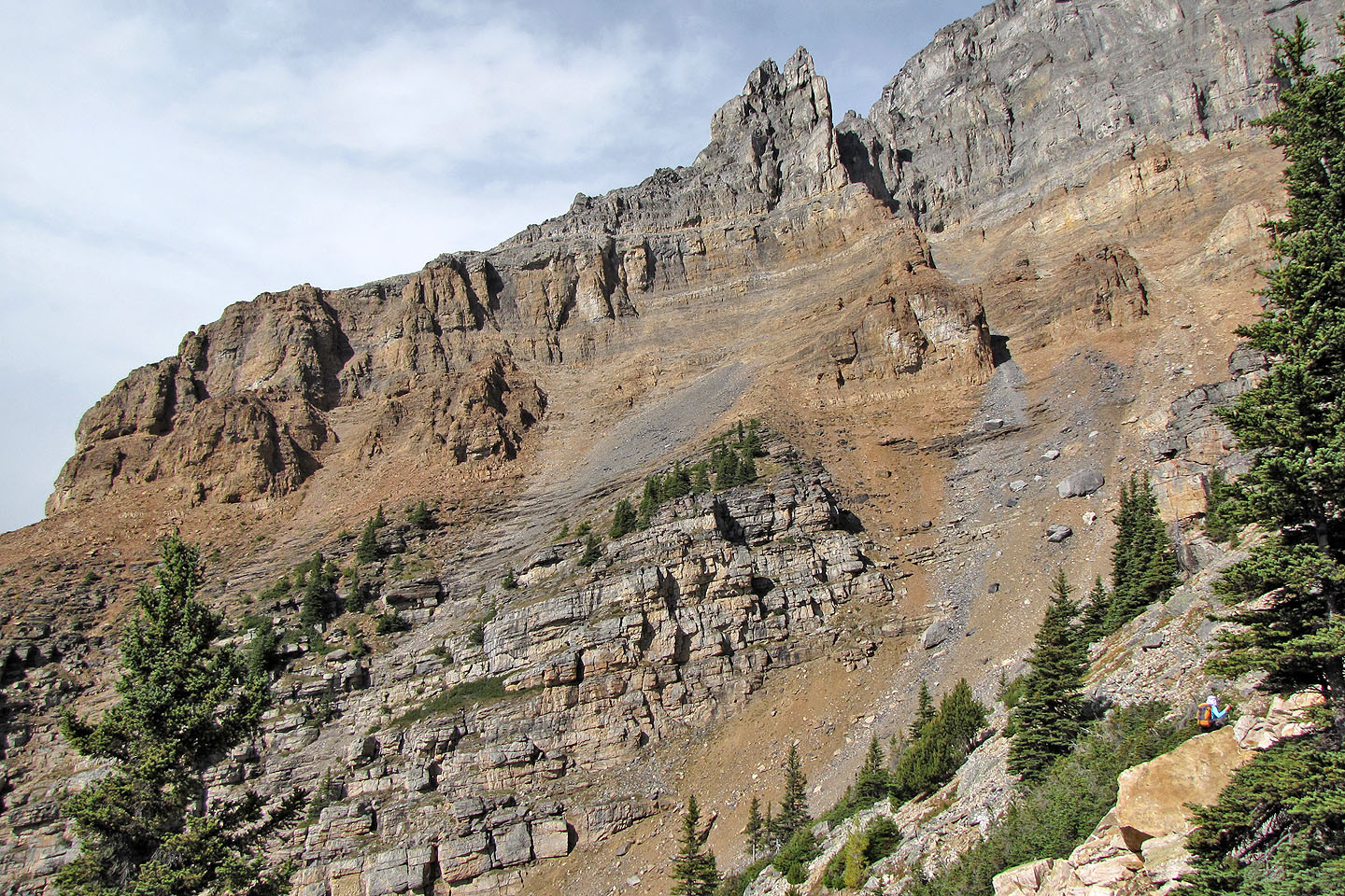
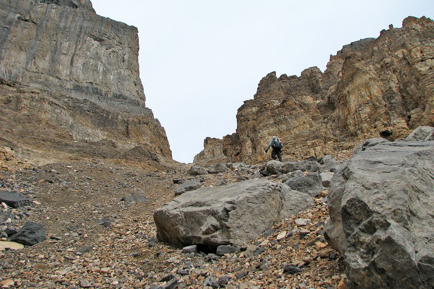
Interesting rock formations ahead
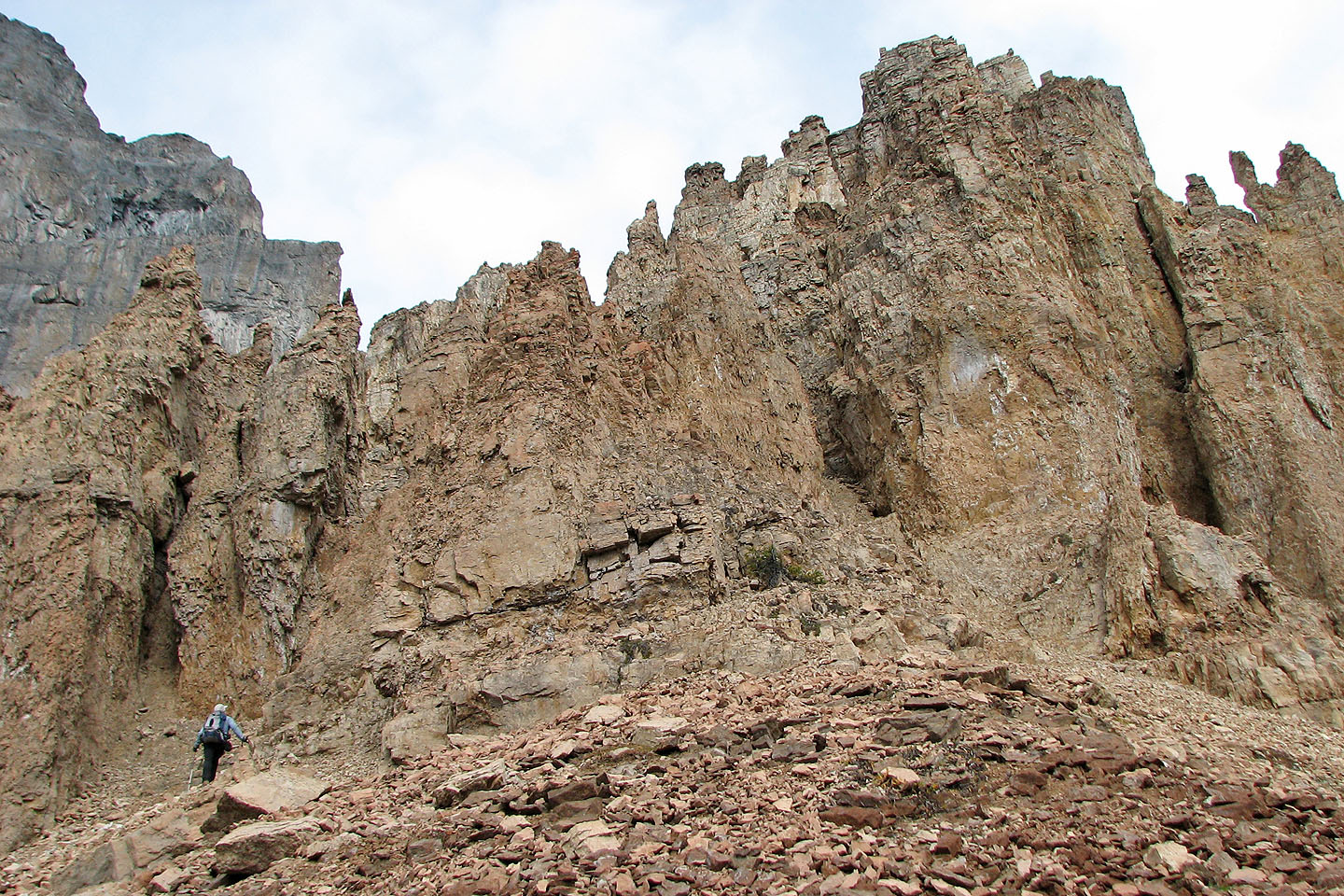
Taking a closer look at the pinnacles
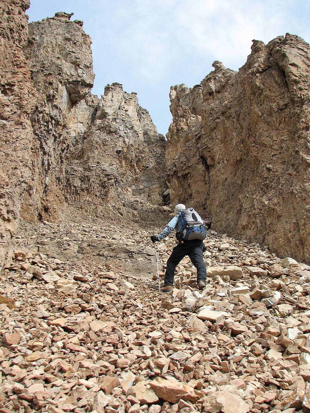
Inspecting a mini-canyon within the pinnacles
Back in the drainage
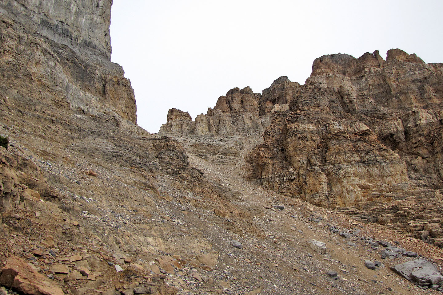
It looked possible to reach the ridge crest
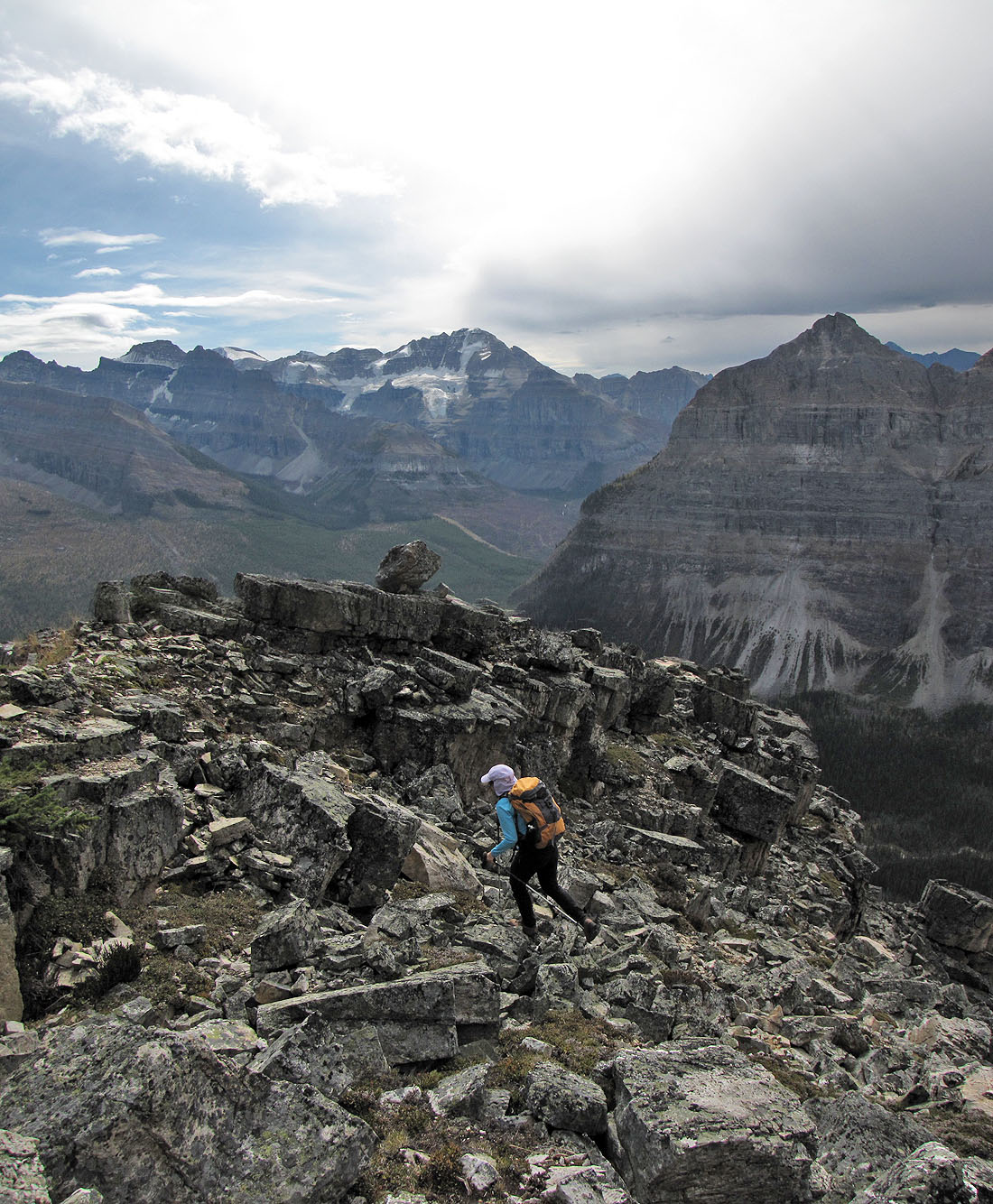
I'll soon turn around
This is as high as we got
Looking down at Dinah
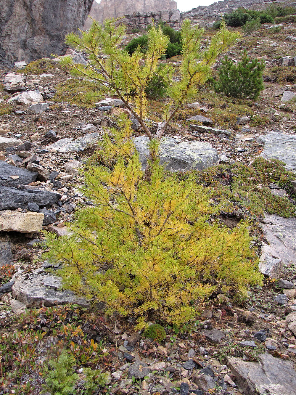
Larches were starting to turn
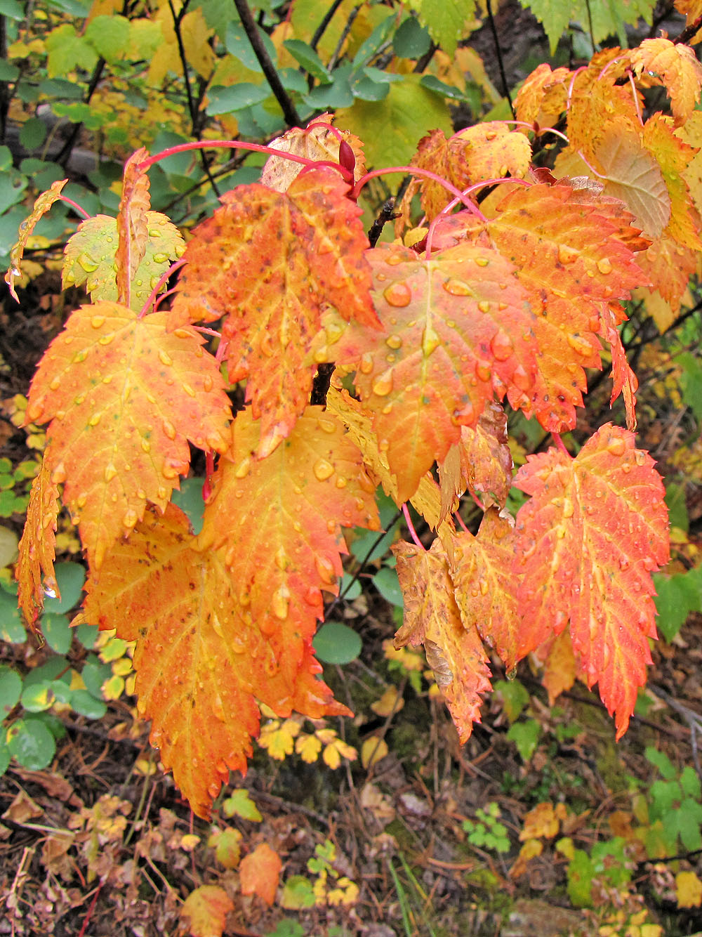
Rain puts a damper on the trip