bobspirko.ca | Home | Canada Trips | US Trips | Hiking | Snowshoeing | MAP | About
Ochre Spring Peak
Kootenay National Park, B.C.
July 7, 2018
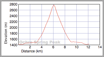
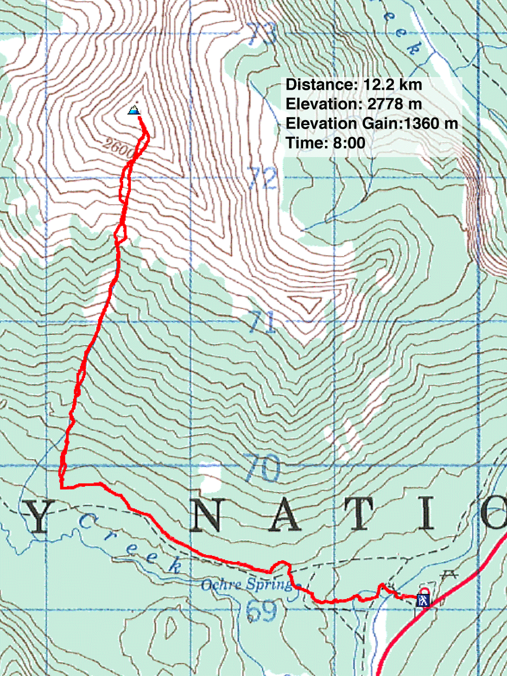
Distance: 12.2 km (7.6 mi)
Cumulative Elevation Gain: 1380 m (4528 ft)
Inspired by recent trip reports, Zora, Dinah and I set off to climb Ochre Spring Peak. The route couldn't be simpler. From Ochre Creek trailhead, take the trail 3 km to a large avalanche slope. Then climbing in a nearly straight line, go up the avalanche slope, up a gully, and up a scree slope to the ridge crest just short of the summit. Although you don't need the skills of a scrambler to climb this mountain – it's pretty much a hike – you'll require the patience of a saint not to curse the interminable, slippery scree.
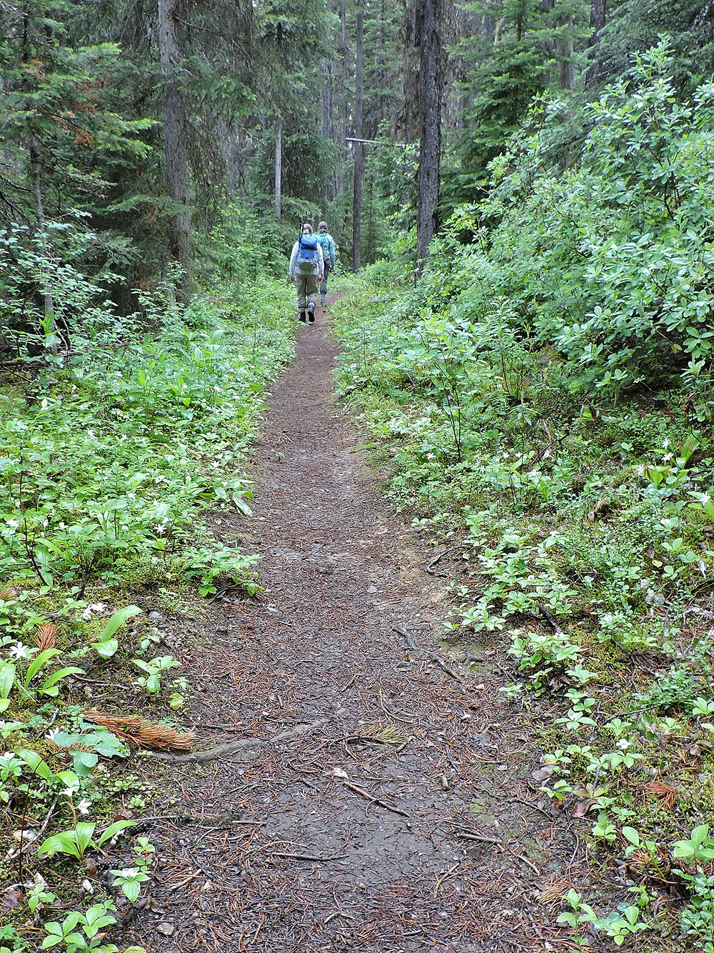
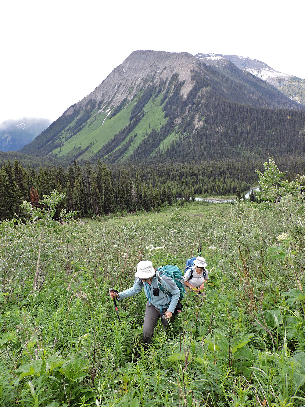
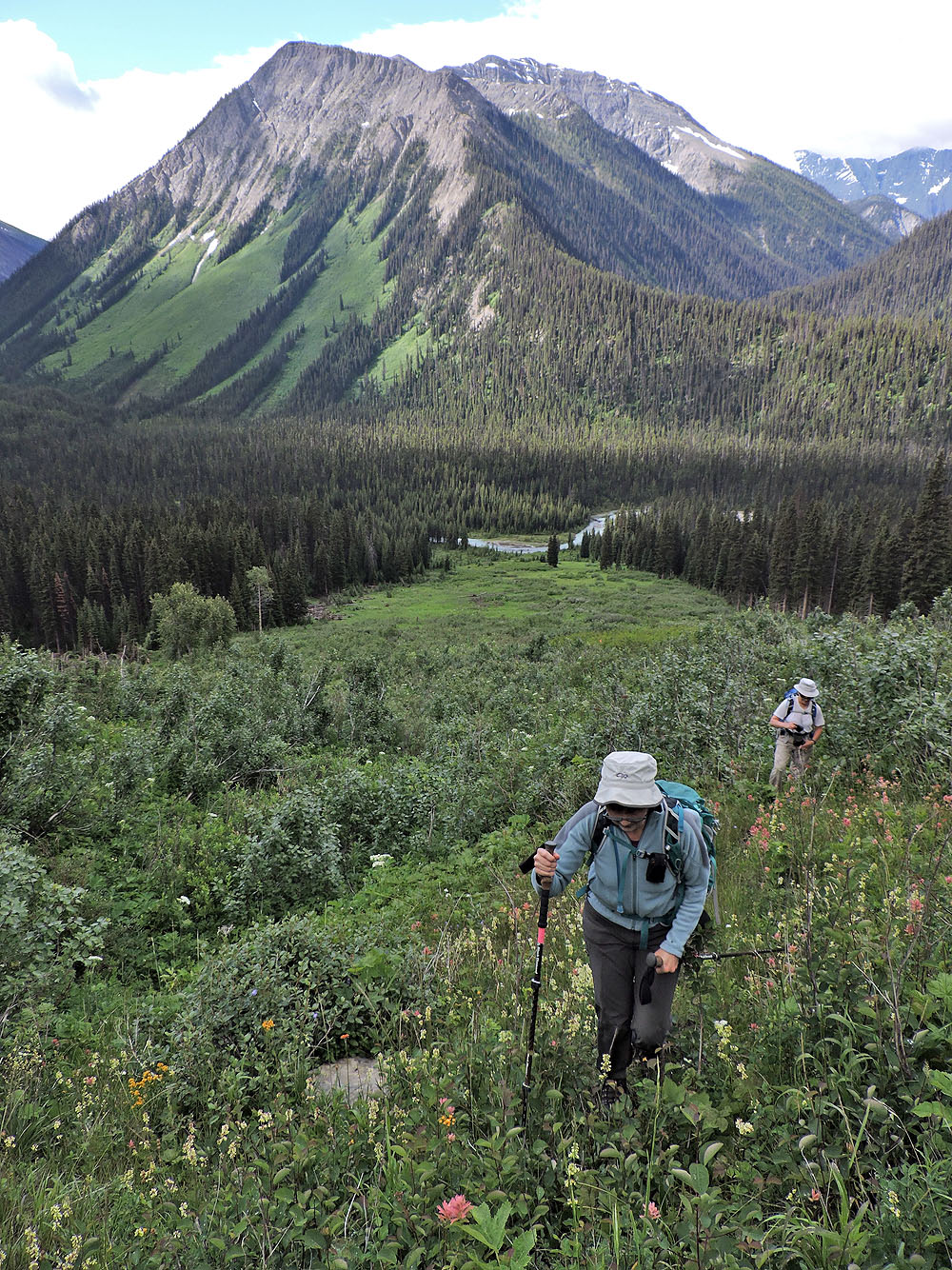
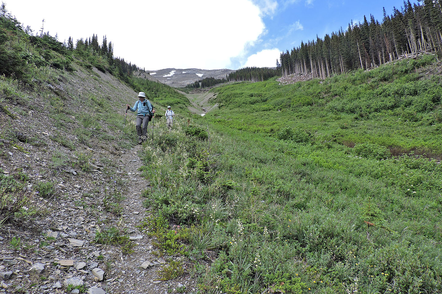
This trip has one of the prettiest starts we've experienced. Passing through the colourful ochre spring ponds, we stopped frequently to take photos. After the paint pots, the trail narrows and threads through a lush forest to the broad avalanche slope.
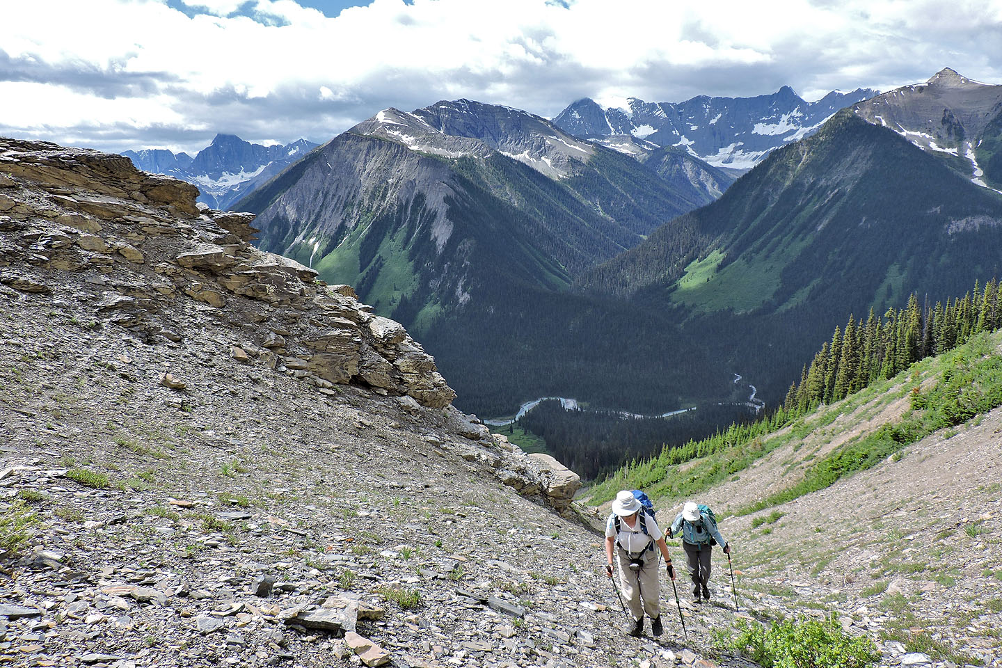
Seen from the trail, the entire route to the summit lay before us. We started up the avalanche slope, wading through knee-deep plants at first and later tall bushes. After a couple of hundred metres, we discovered a pathway. It came after the first flagging, a coincidence I'm sure as other flagging made no sense and should be ignored. When there was no foliage to hide it, we could see a path, but calling it a trail would be generous; it was more a corridor through the bushes. Although not easy to discern, we managed to follow it up and down.
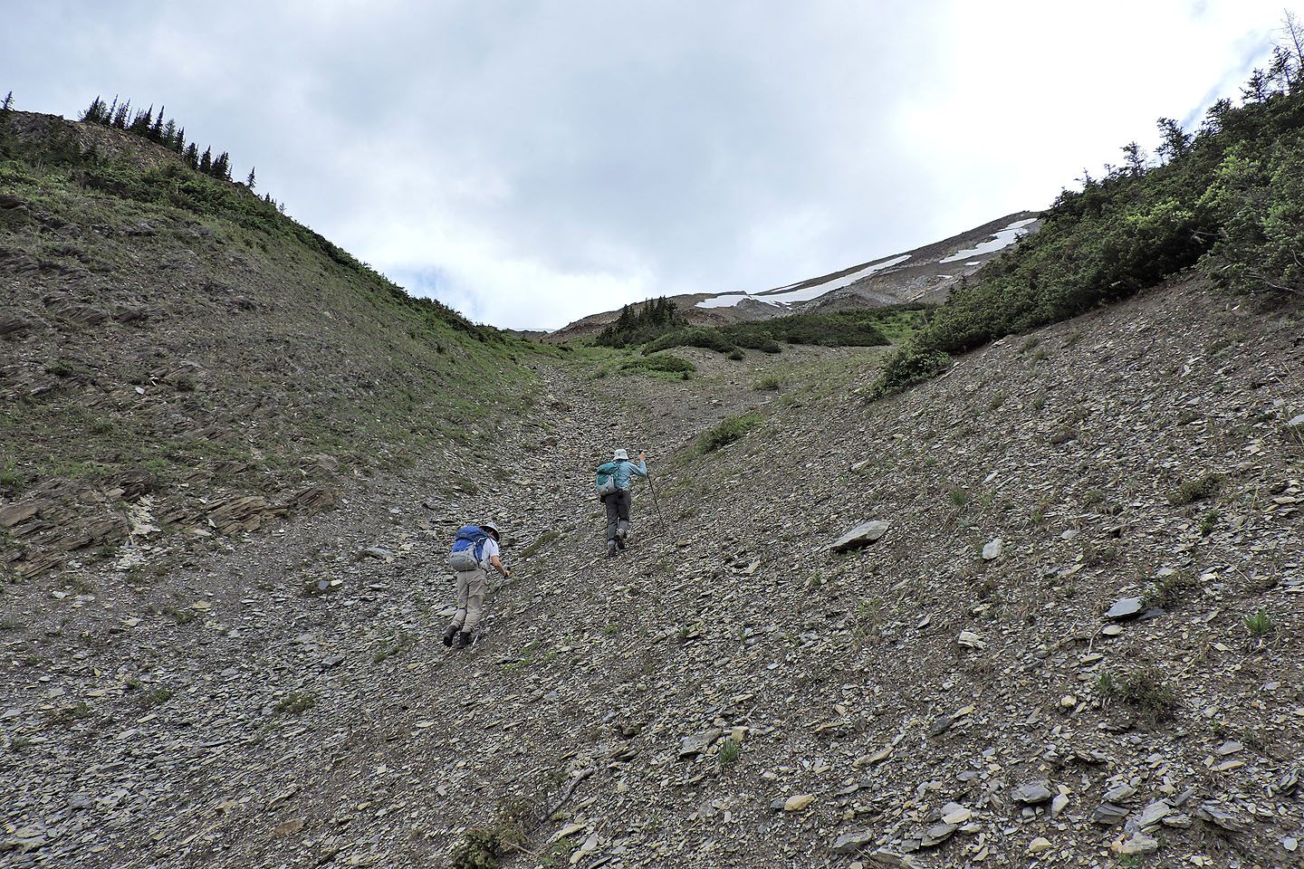
After a couple of hundred metres, the path ends, and we swung left where the brush was thinner. At this point it's best to keep left, cross the gully and pick up a trail on the other side, but we didn't learn that until our descent (follow our GPS descent track up). Instead, we bushwhacked to intersect the snow-filled gully farther up. As we hiked up the snow, we noticed three hikers coming up behind us. When they passed, we learned they were from Cochrane.
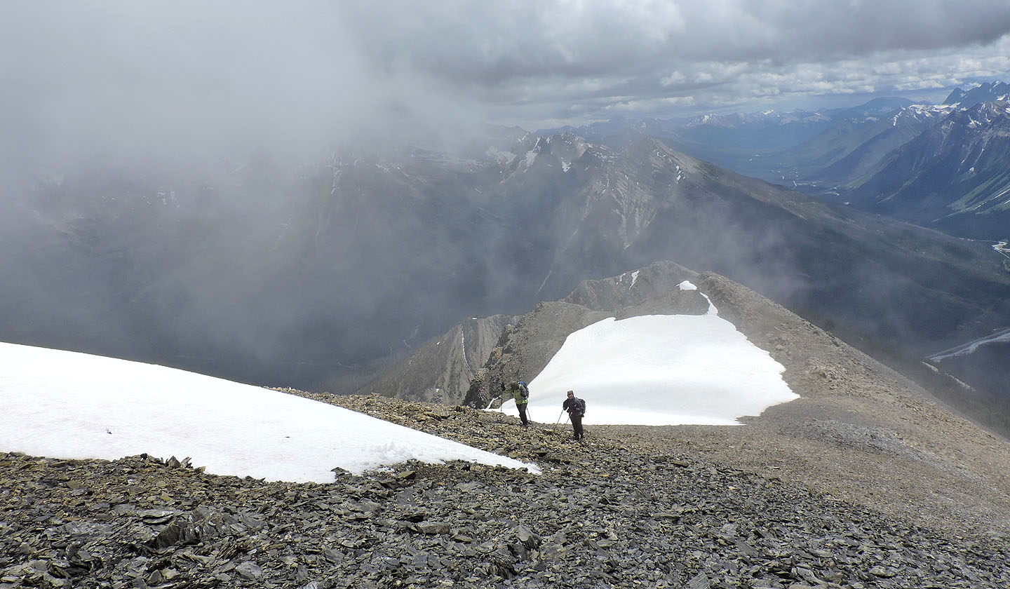
We followed the gully to where it splits. Either fork works – we ascended one and came down the other – but you want to climb the spur rising between them. This spur eventually merges into a slope, but both spur and slope comprise miserable scree. Eventually we reached the ridge crest and hiked to the summit.
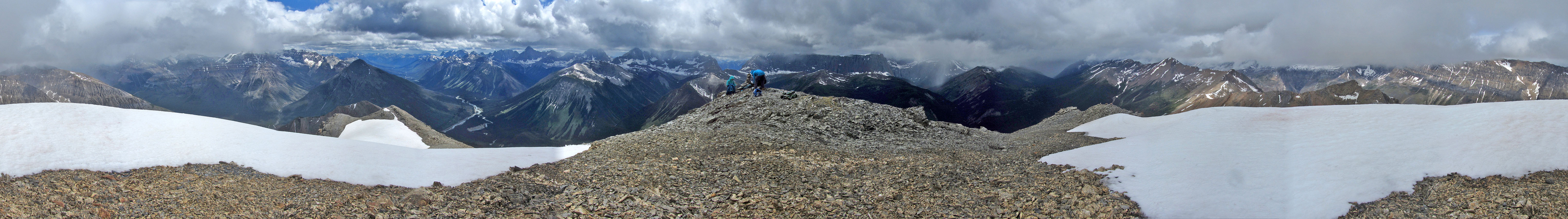
The Cochrane trio had reached the top well ahead of us. We exchanged names and learned they were Scott Comeau, Shaelyn Spring, and Shawn McLean. But this wasn't a day to lounge on the summit. On a nice day, one could probably see for miles from this lofty perch, but thick, dark clouds obscured surrounding peaks, and we all had bundled up to beat the cold. The trio left and we soon followed.
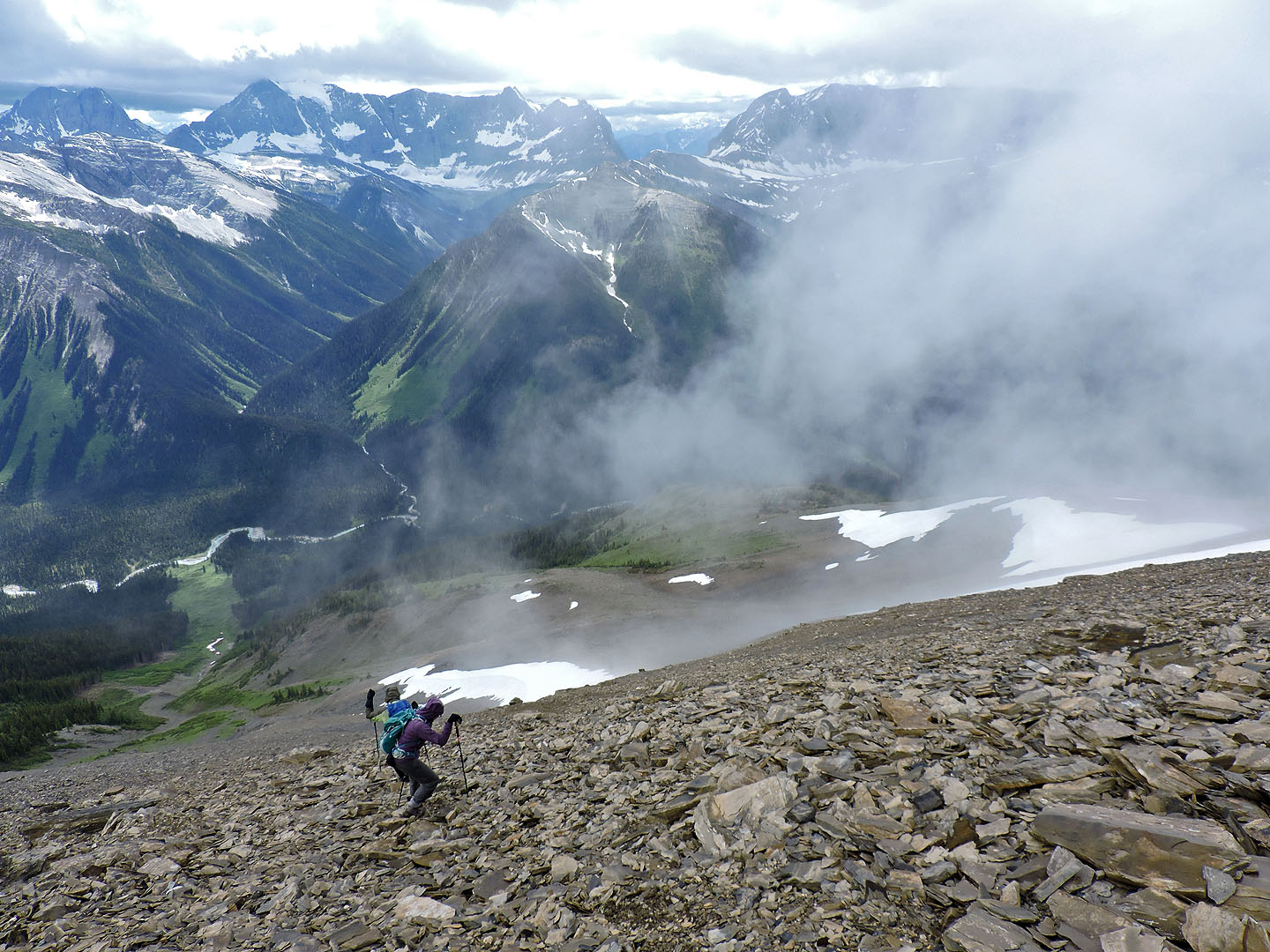
Zora, Dinah and I sped down the slope slightly west of our ascent, taking advantage of the soft scree. After dropping down to the fork, we hiked back down the gully. Partway down, and unlike our ascent, we kept to the west side of the gully. I had a feeling it would be better and sure enough, we were rewarded with a good trail. Running well above the gully at first, it soon petered out when it dropped down alongside the gully. We followed the vague trail as best we could. After it crossed the gully it disappeared, but here we could connect with our ascent route, including the pathway through the bushes.
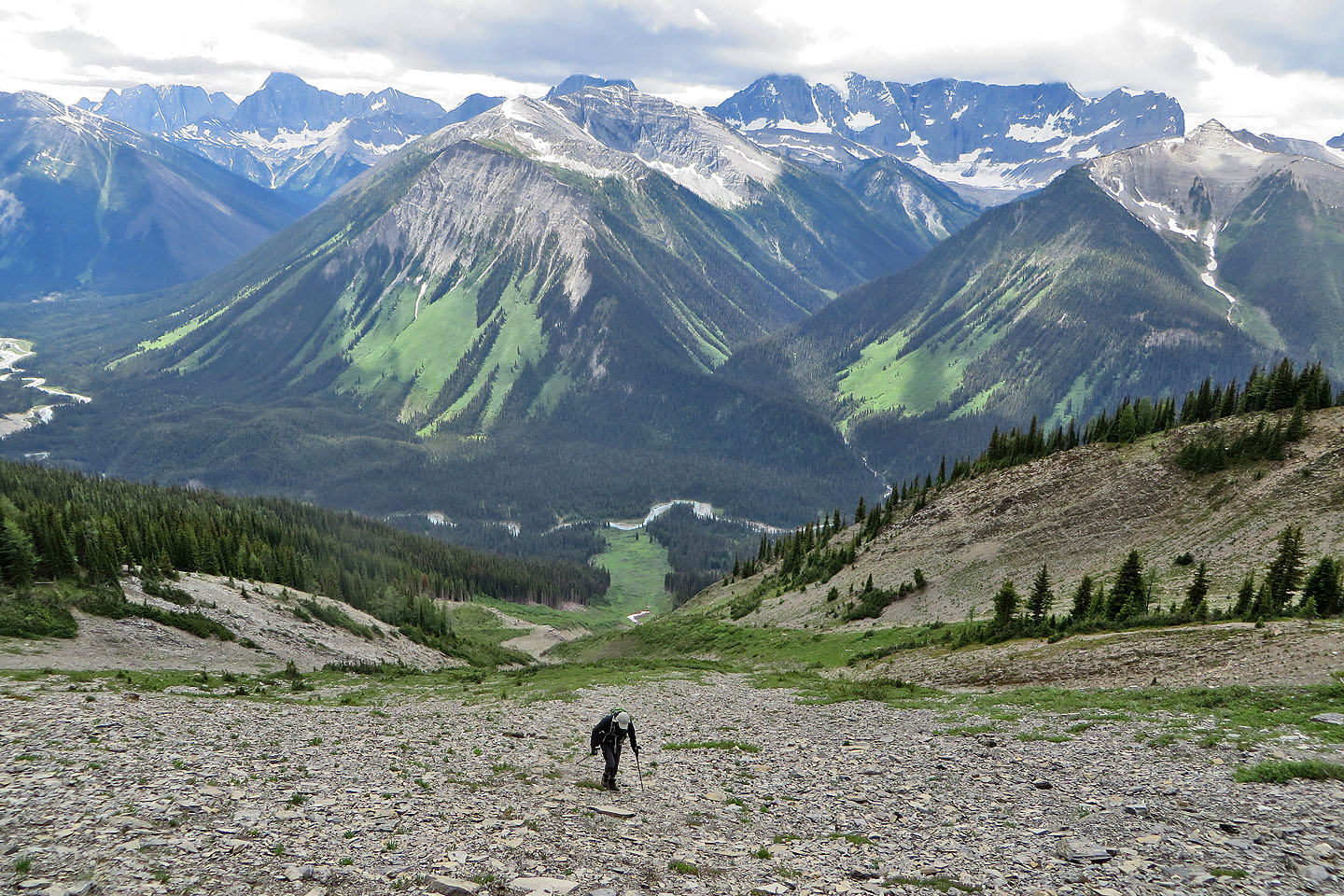
Back on the main trail, we looked up the avalanche slope. I have to point out how deceptive it appears. Throughout our climb, the views ahead were foreshortened, making it difficult to judge distances. Cars come with a warning on their side mirrors: “Objects are closer than they appear.” Ochre Spring Peak should have the opposite warning: “Objects are farther than they appear.”
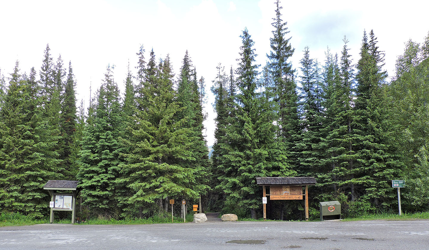
Ochre Creek trailhead
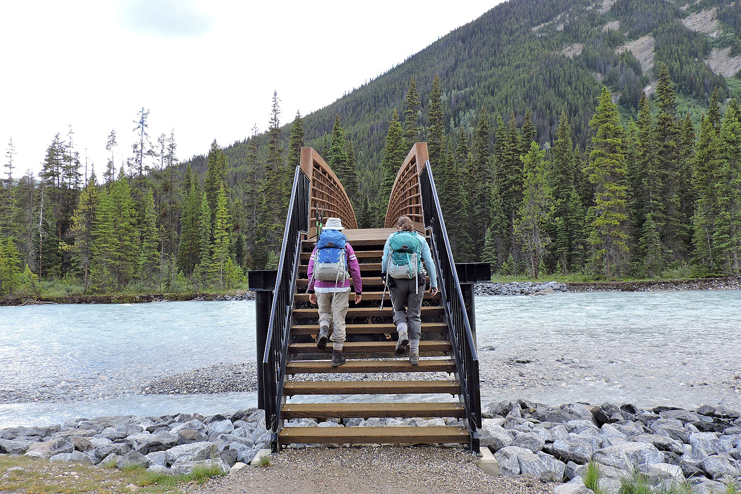
A few minutes after starting out, we crossed the bridge over Vermillion River
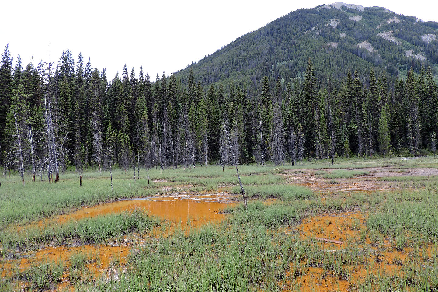
Ochre ponds
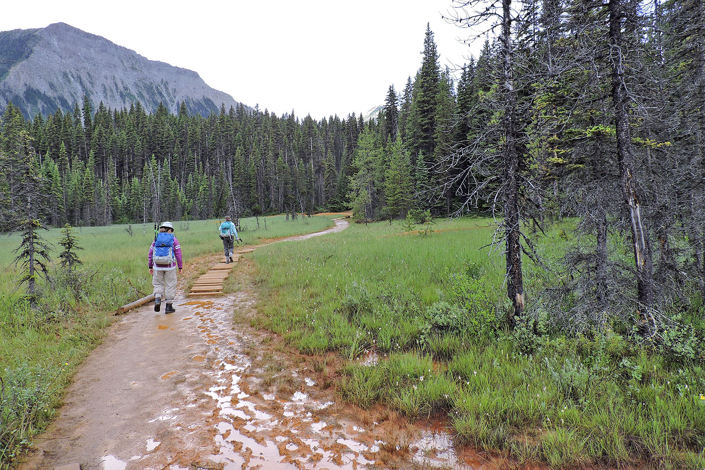
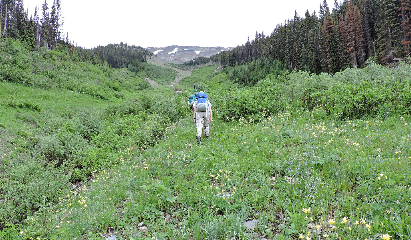
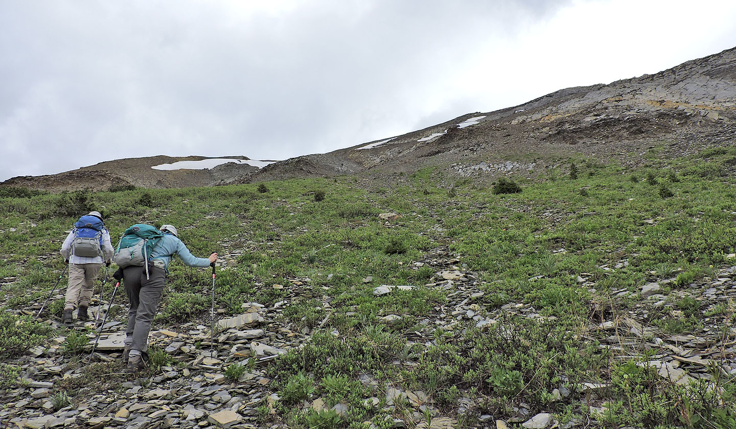
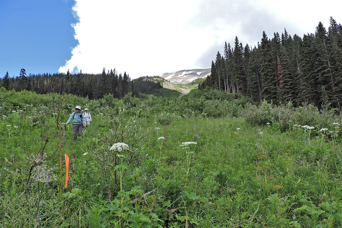
Continuing up the trail
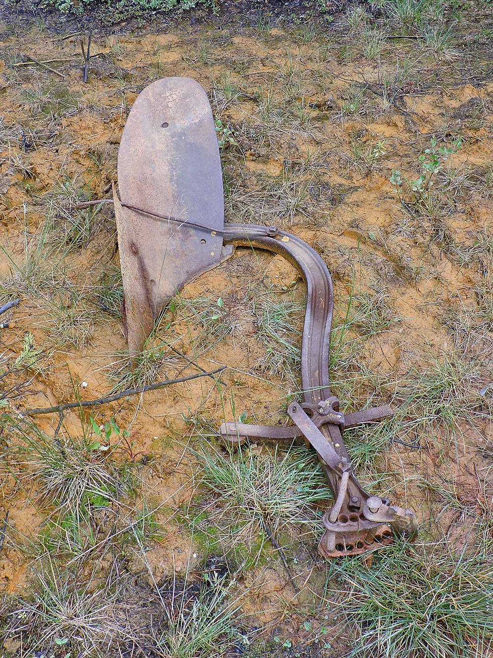
Ochre was mined here 100 years ago
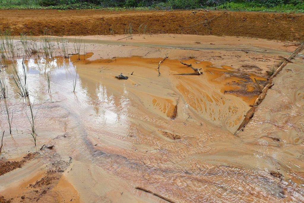
Ochre is formed by the accumulation of iron oxide around mineral springs
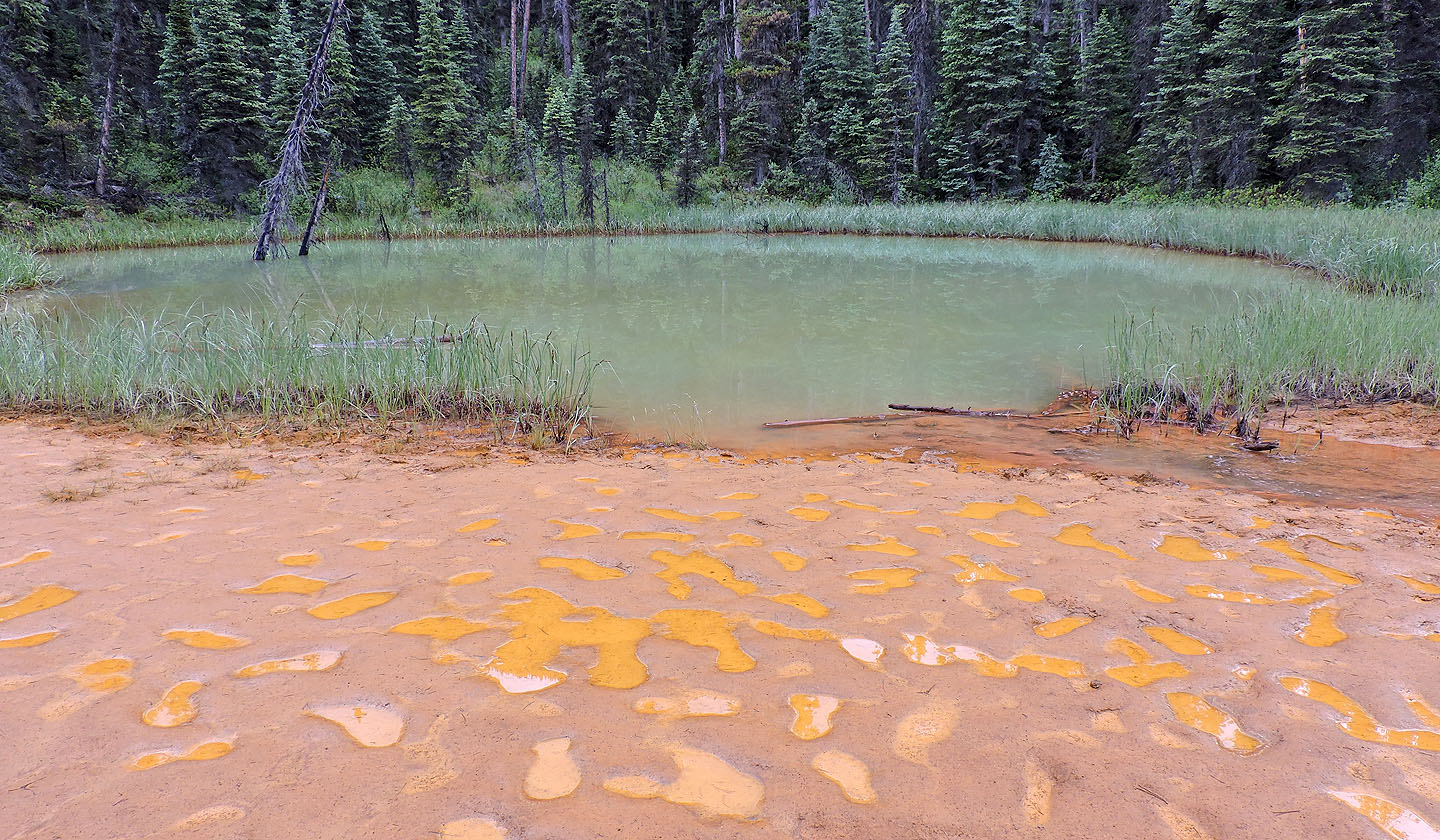
Unlike the mineral ponds, this green pond is fed by fresh water from a small creek
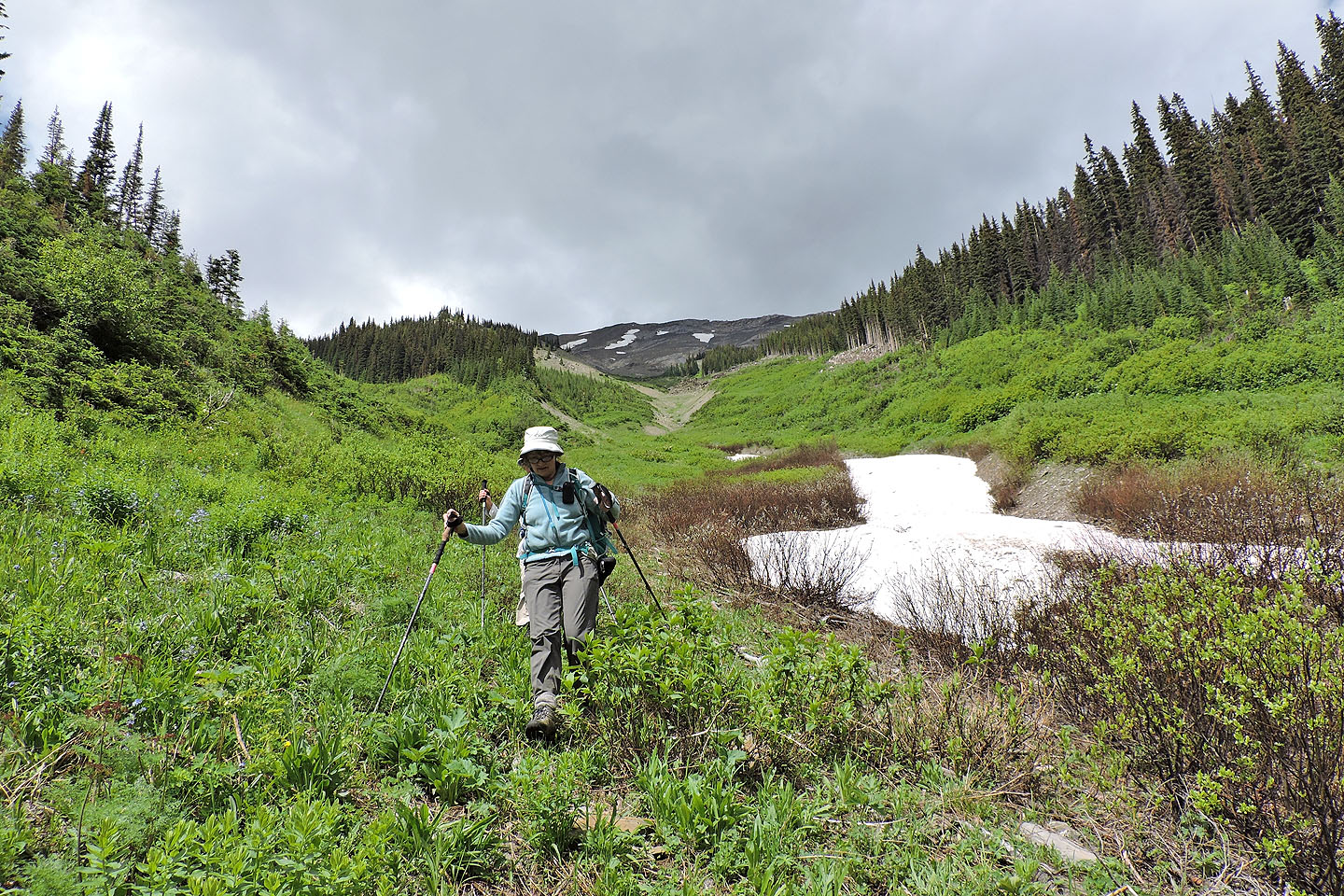
Hiking up the trail to the avalanche slope
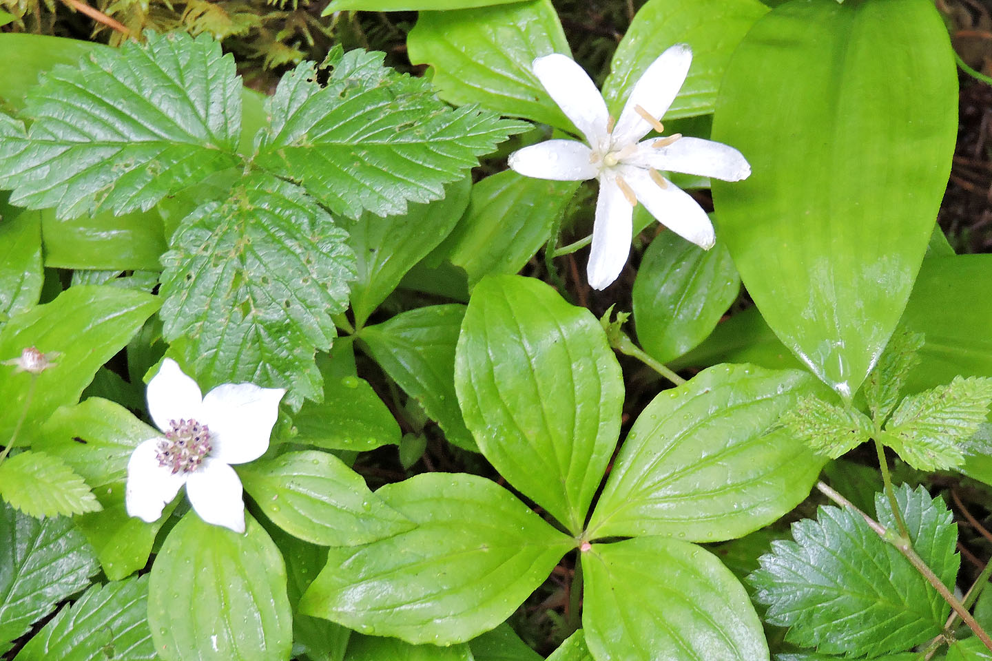
Bunchberry and queen's cup lined the trail
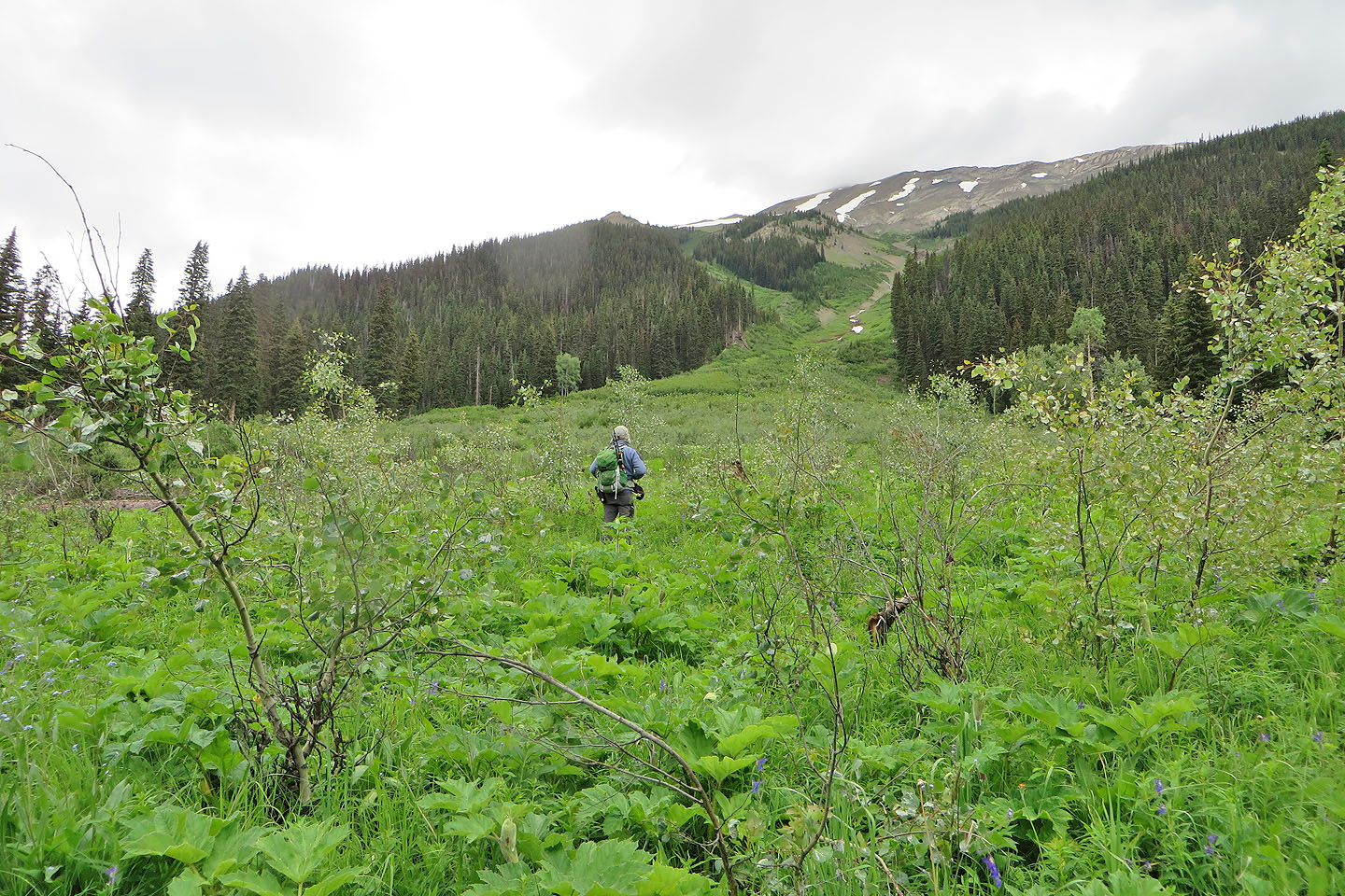
Looking up the avalanche slope from the trail
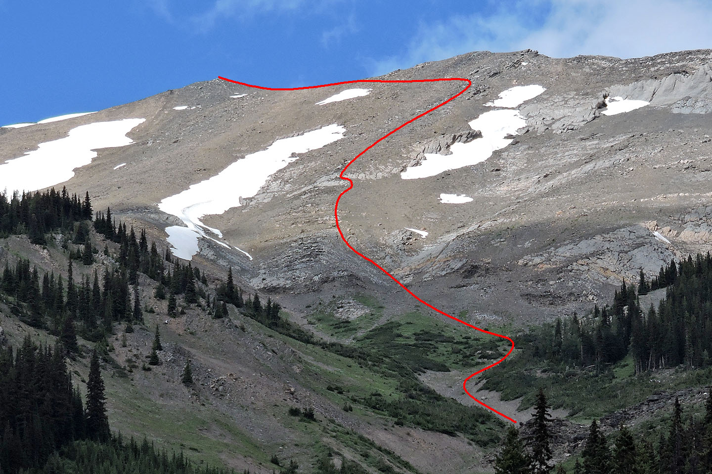
Close-up of our ascent route. At the fork in the gully, we turned right although left works as well. Above the minor cliff band, we swung right to gain elevation on more solid rock before traversing to the summit.
It may not look like it, but we are following a pathway through the brush
Still on the pathway
When the path disappeared we went left and found clearings. On our ascent past this point, we kept right of the gully, but on the descent we found a good but short trail on the other side.
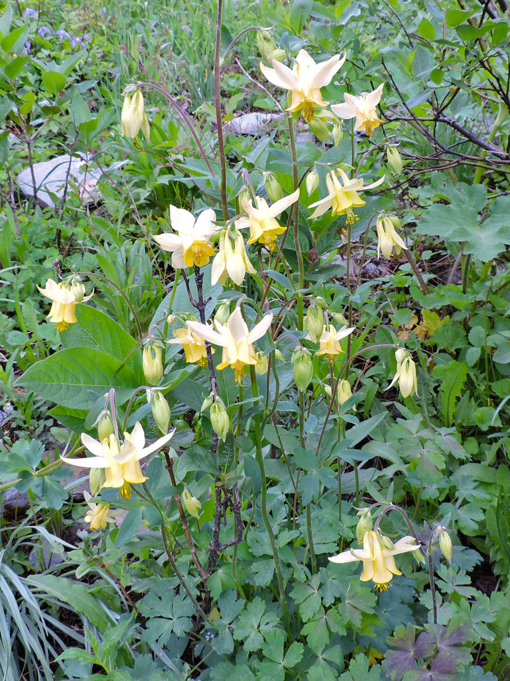
There were more yellow columbine flowers than you could shake a trekking pole at
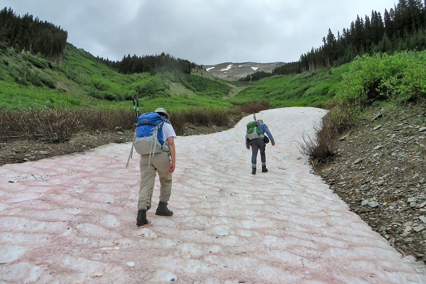
Eventually we reached snow in the gully
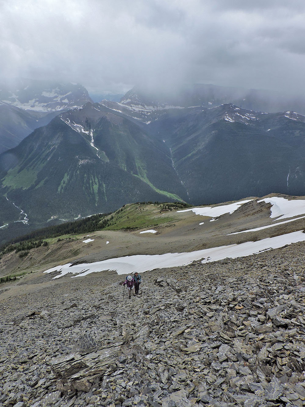
Behind us, the Cochrane trio hiked up the snow
For a short section, water flowed above ground
Tumbling Glacier appears above Zora and Dinah (mouse over for a close-up)
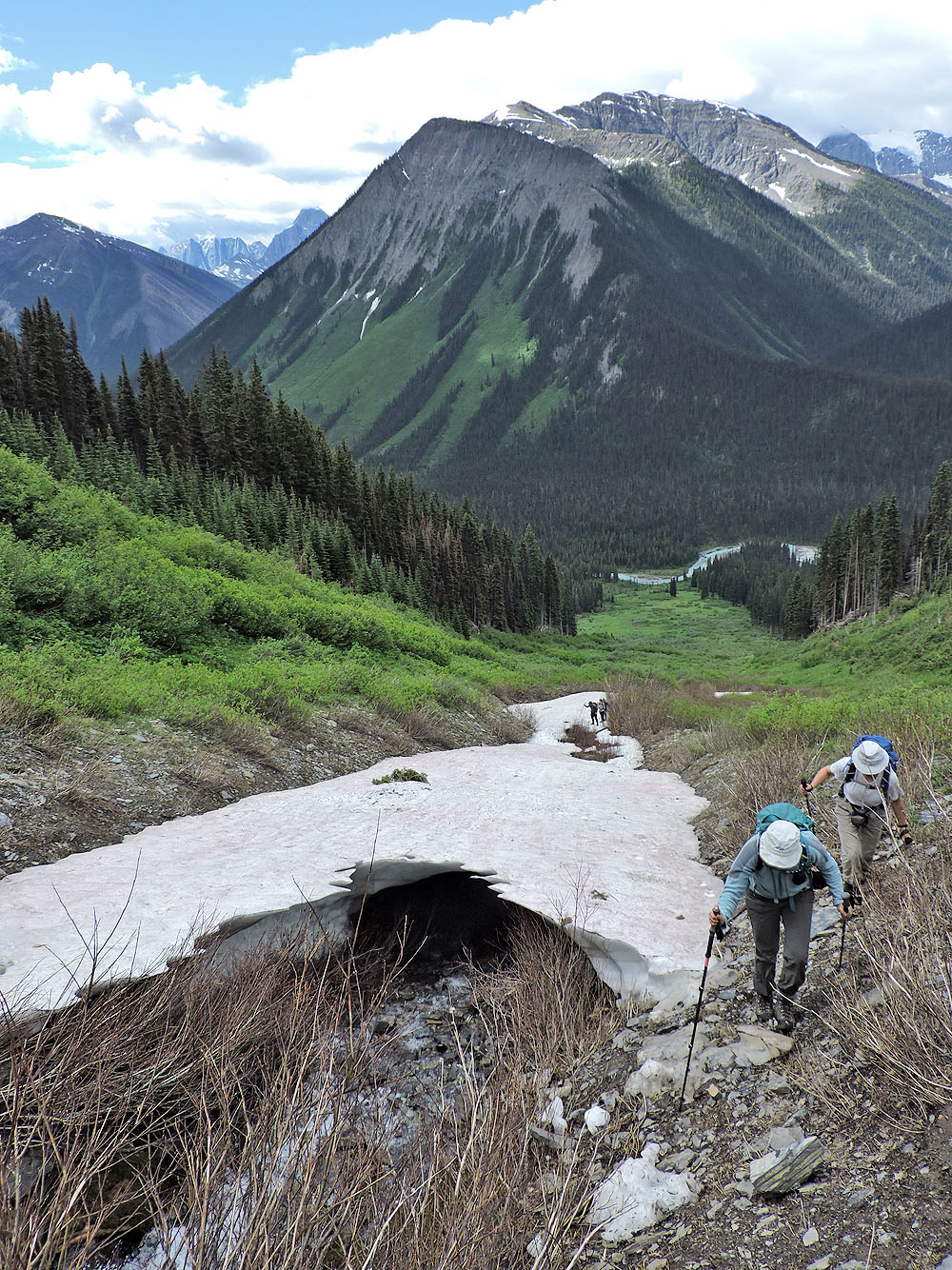
Coming to the fork in the gully
Above the fork, we headed to the spur in the centre
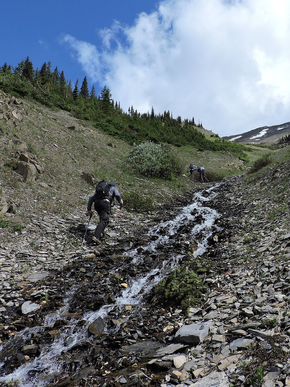
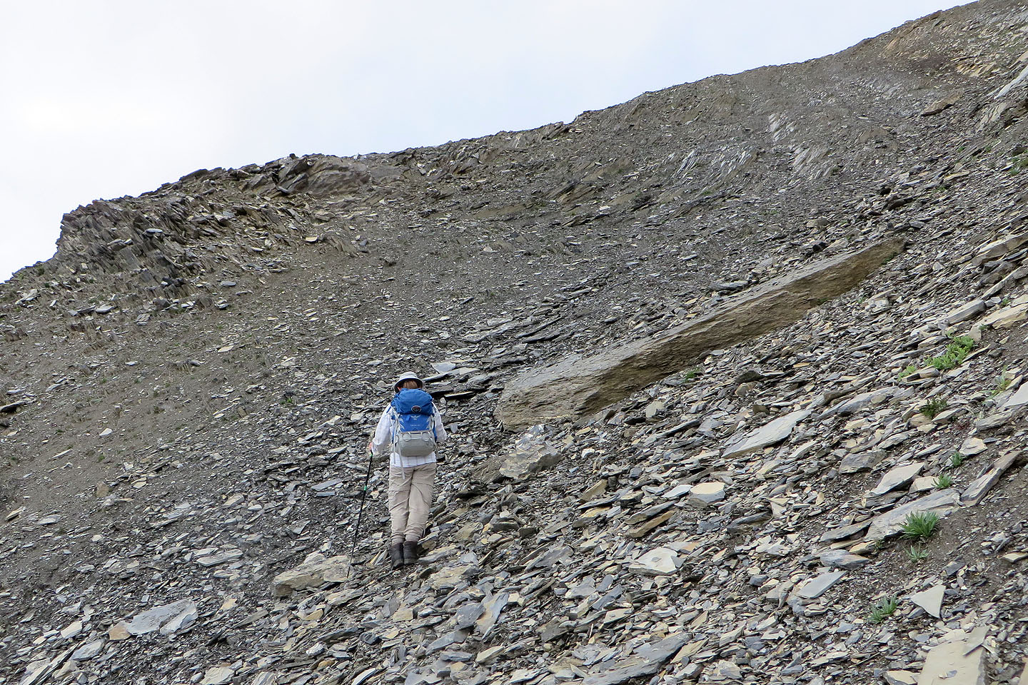
 After stepping off the vegetation, loose scree dogged our every step to the summit
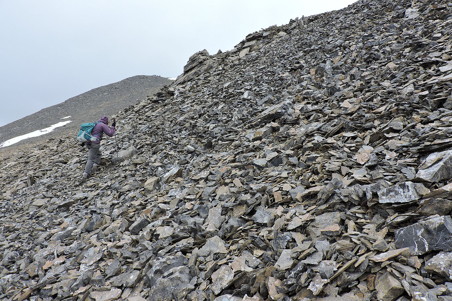
Coming up to the spur
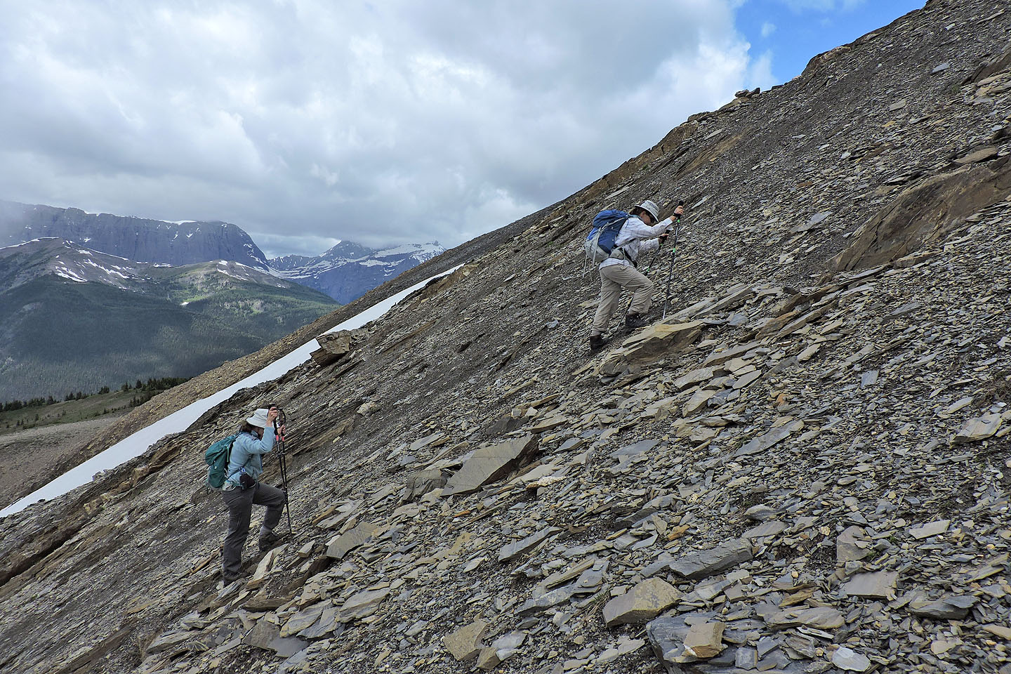
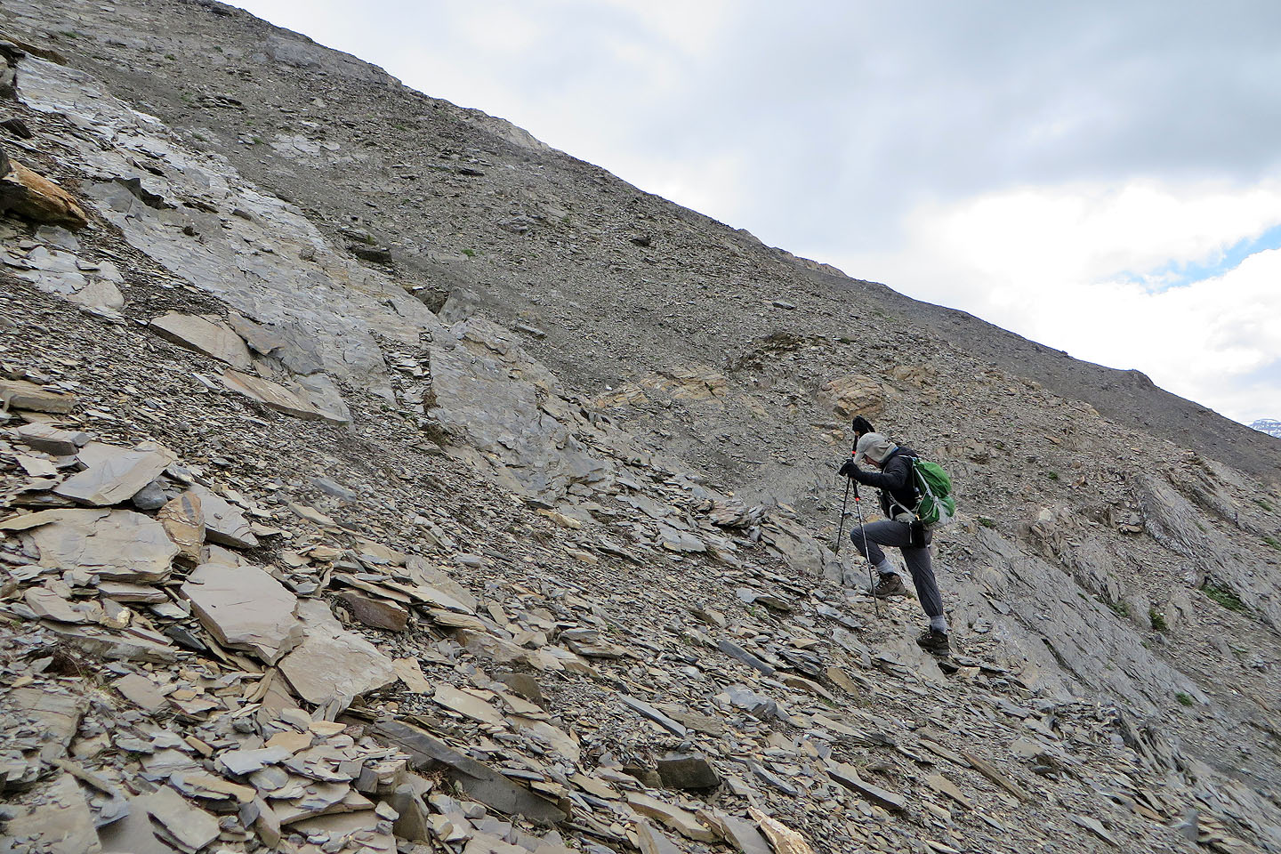
We were frustrated with dinner-plate shale sliding under our boots
Vermillion Peak in the background
The Cochrane trio paused by the minor cliff band
Going up a broken cliff band
Above the cliff band, we angled right where bigger rocks and even boulders
provided better purchase
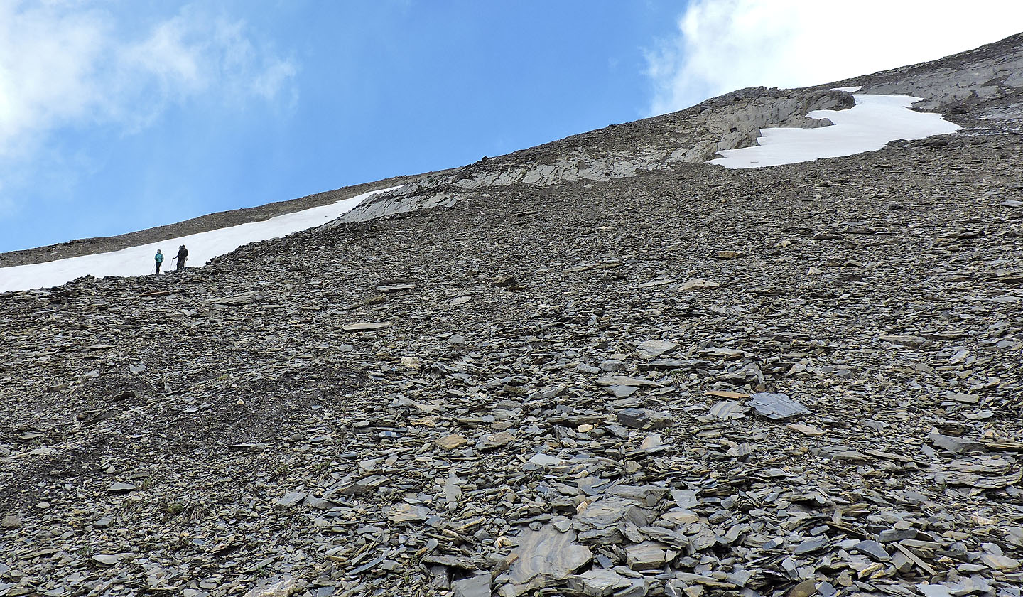
Before reaching the crest, we turned toward the summit
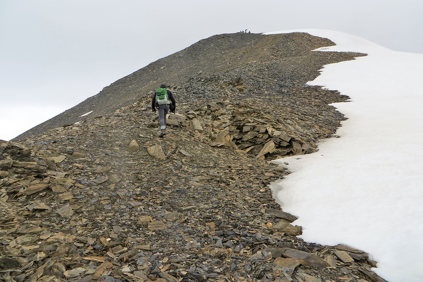
The trio are already on the summit
Zora and Dinah made their way to the top
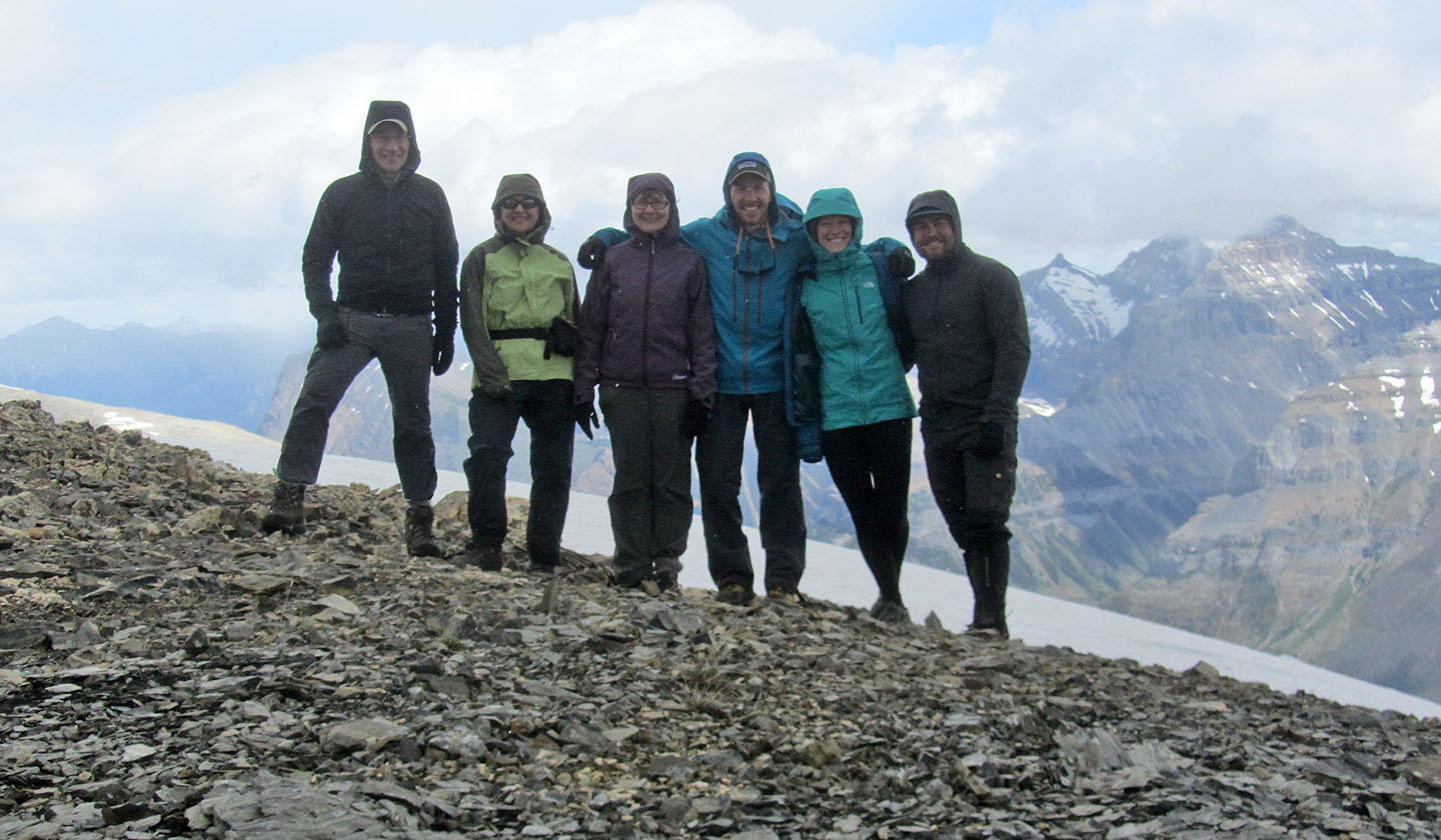
Me, Zora, Dinah, Scott, Shaelyn and Shawn
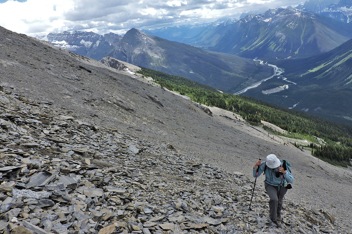
On the way down we searched for good scree for a fast descent
Coming down the gully we hit upon a short, but good trail
Before reaching the gully, the trail became vague. We soon crossed the gully and picked up our ascent pathway.
Back at the start of the pathway
82 N/1 Mount Goodsir