bobspirko.ca | Home | Canada Trips | US Trips | Hiking | Snowshoeing | MAP | About
Mount Andromache
Banff National Park, Alberta
July 26, 2005
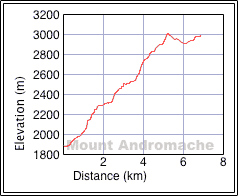
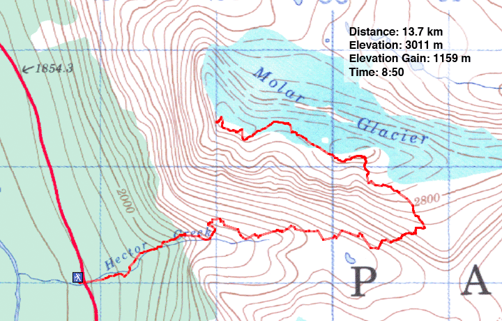
Distance: 13.7 km (8.5 mi)
Cumulative Elevation Gain: 1335 m (4380 ft)
Mount Andromache is a straightforward scramble with little likelihood of losing your way. Following the Scrambles book, Dinah and I hiked up the trail on the right side of Hector Creek to above the waterfalls where it petered out. We continued up the valley, keeping to scree slopes on the left. It was miserable going and seemed to go on too long. While we hiked up the valley, we watched a party of four ascending Mount Hector which helped pass the time.
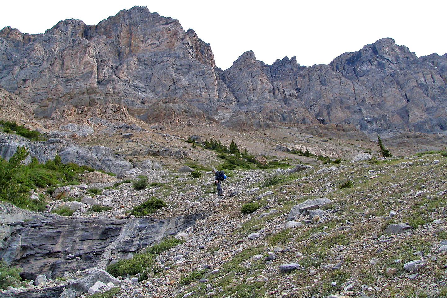
Eventually we came to an obvious break in the cliff bands and easily ascended to the plateau. The unnamed east peak came into view, and we scrambled up it. Surprisingly, my GPS indicated that the east peak is higher than Mount Andromache by 8 m.
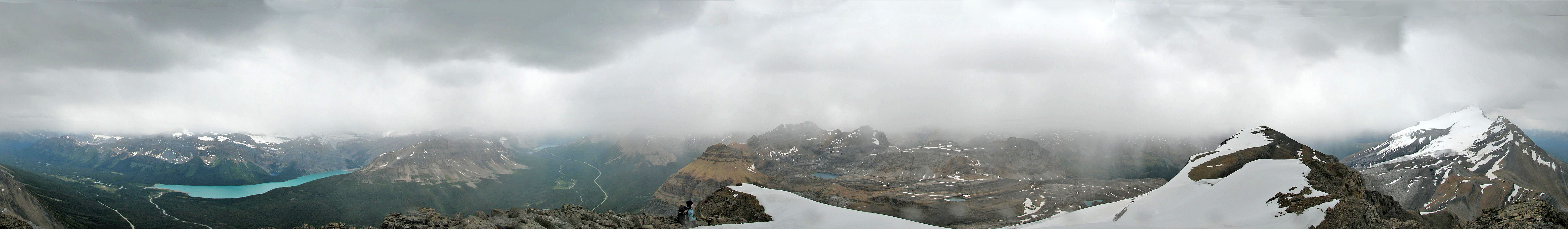
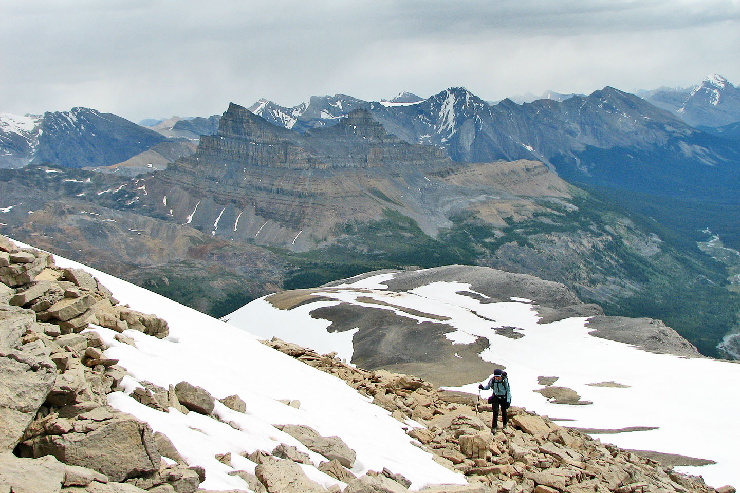
We trudged to just below the summit of Mount Andromache where we scrambled up rock adjacent to the glacier. The day had started out with few clouds, but by the time we bagged the peak, the clouds had increased and obscured distant views.
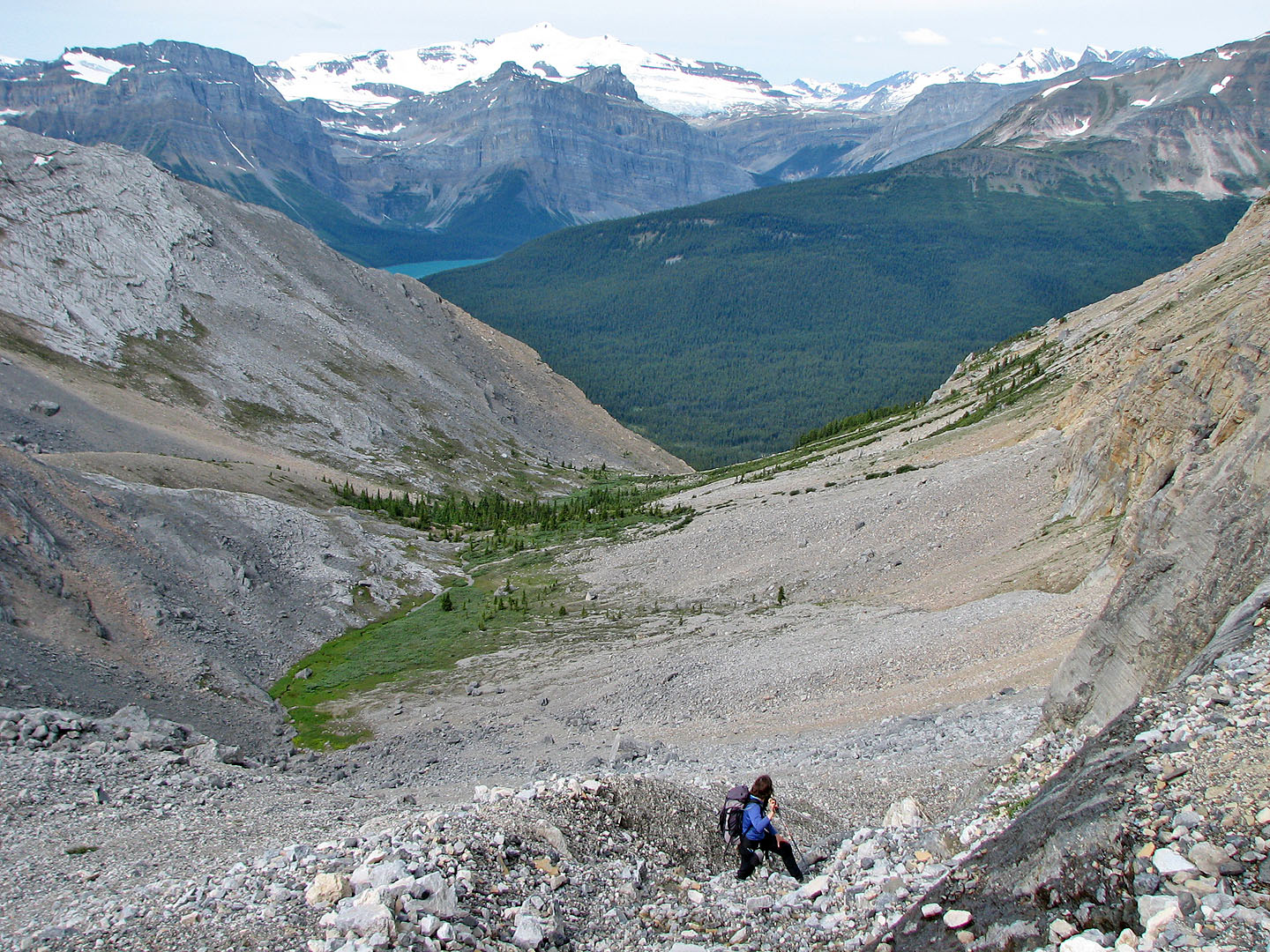
We fully expected to descend the NW ridge but were surprised by the quantity of snow on it. It extended to the edge of the ridge foregoing the possibility of scrambling down it. Walking on the glacier was out of the question, so we had no recourse but to return the same way.
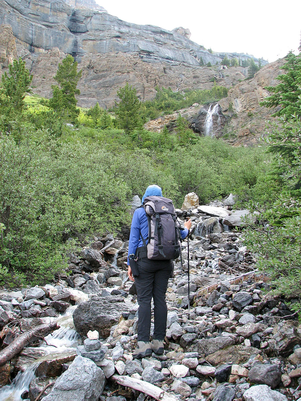
The waterfall soon appeared after we started up the trail
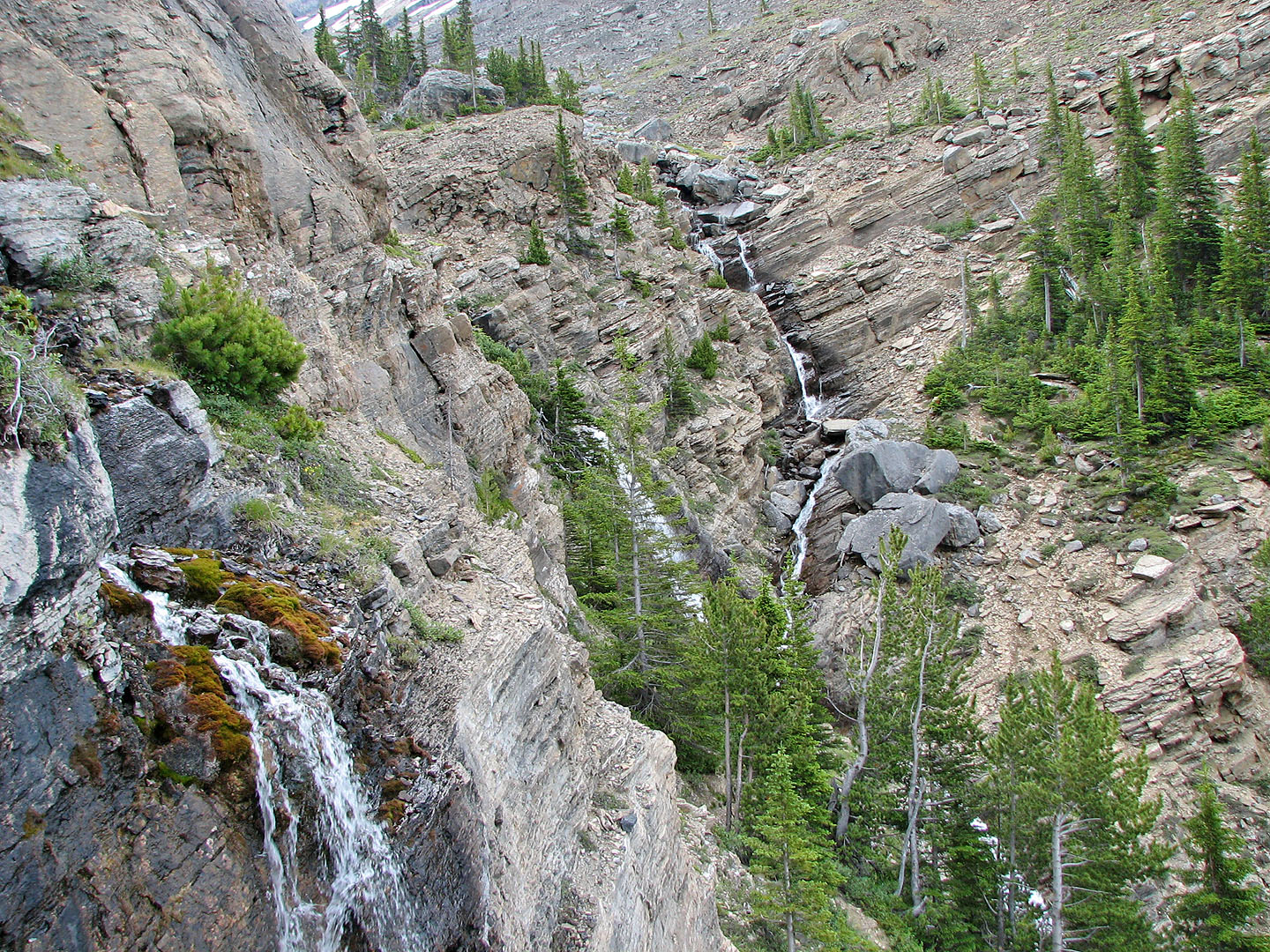
View of the falls as we climbed above them
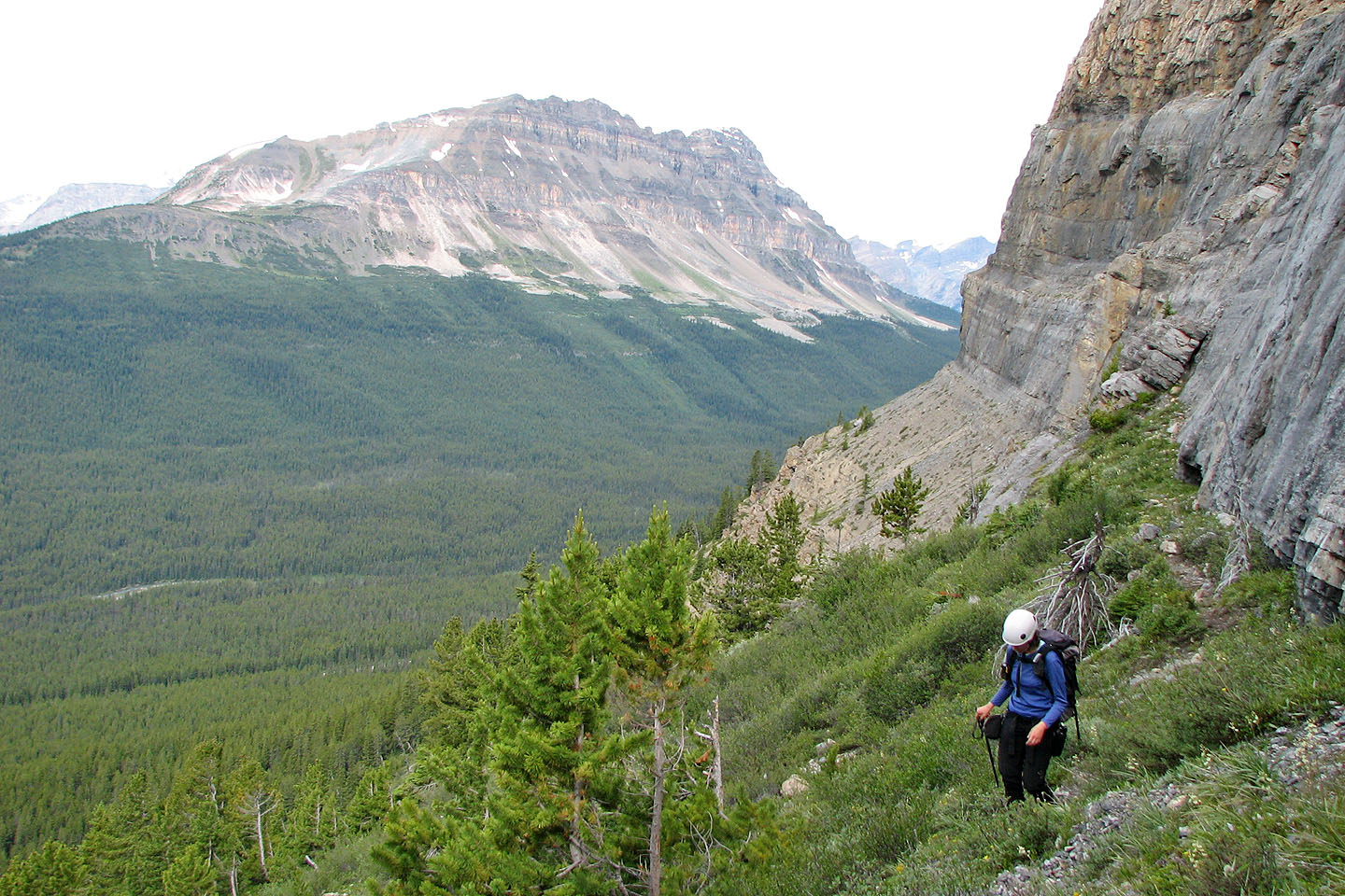
After reaching the base of a cliff band, we headed to the valley between Andromache and Hector.
Bow Peak lies in the background.
Above the waterfalls, the valley opens up
Looking back, Hector Lake is barely visible
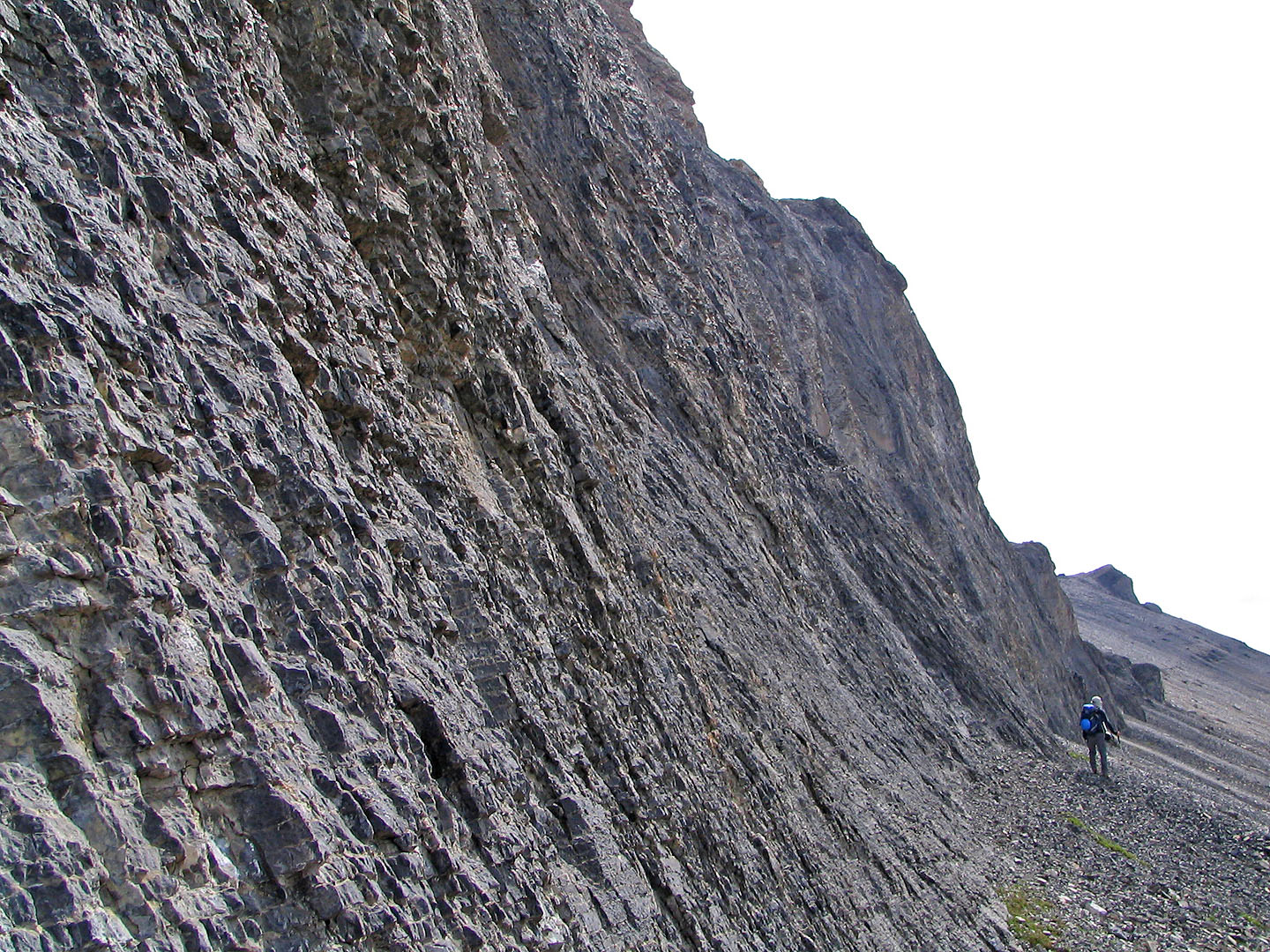
While hugging the base of the cliff bands, we looked for breach
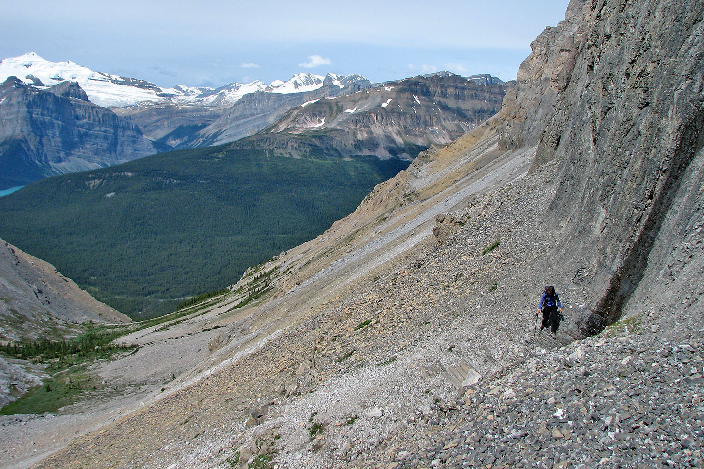
Looking back
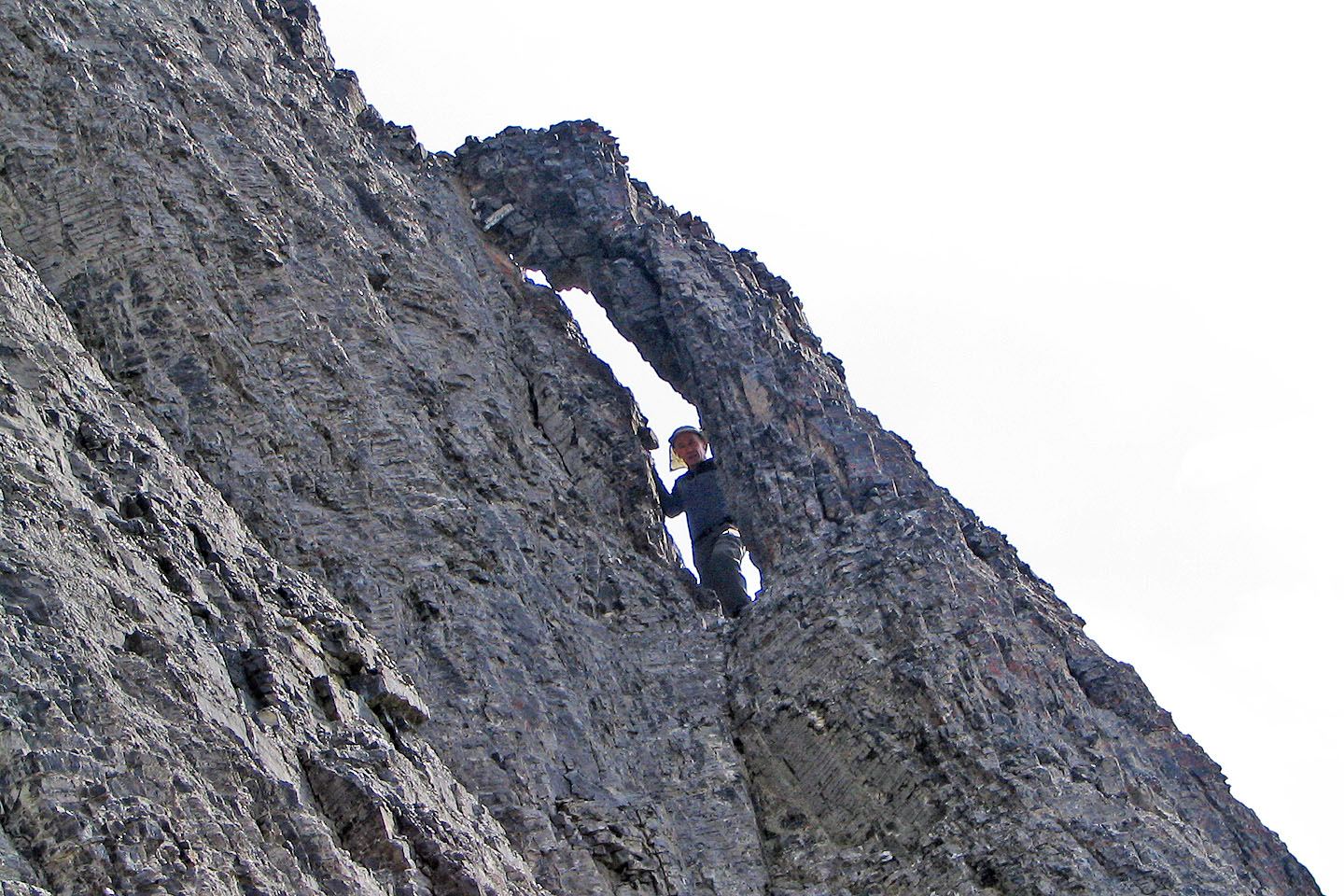
Along the way, I stopped to inspect a window
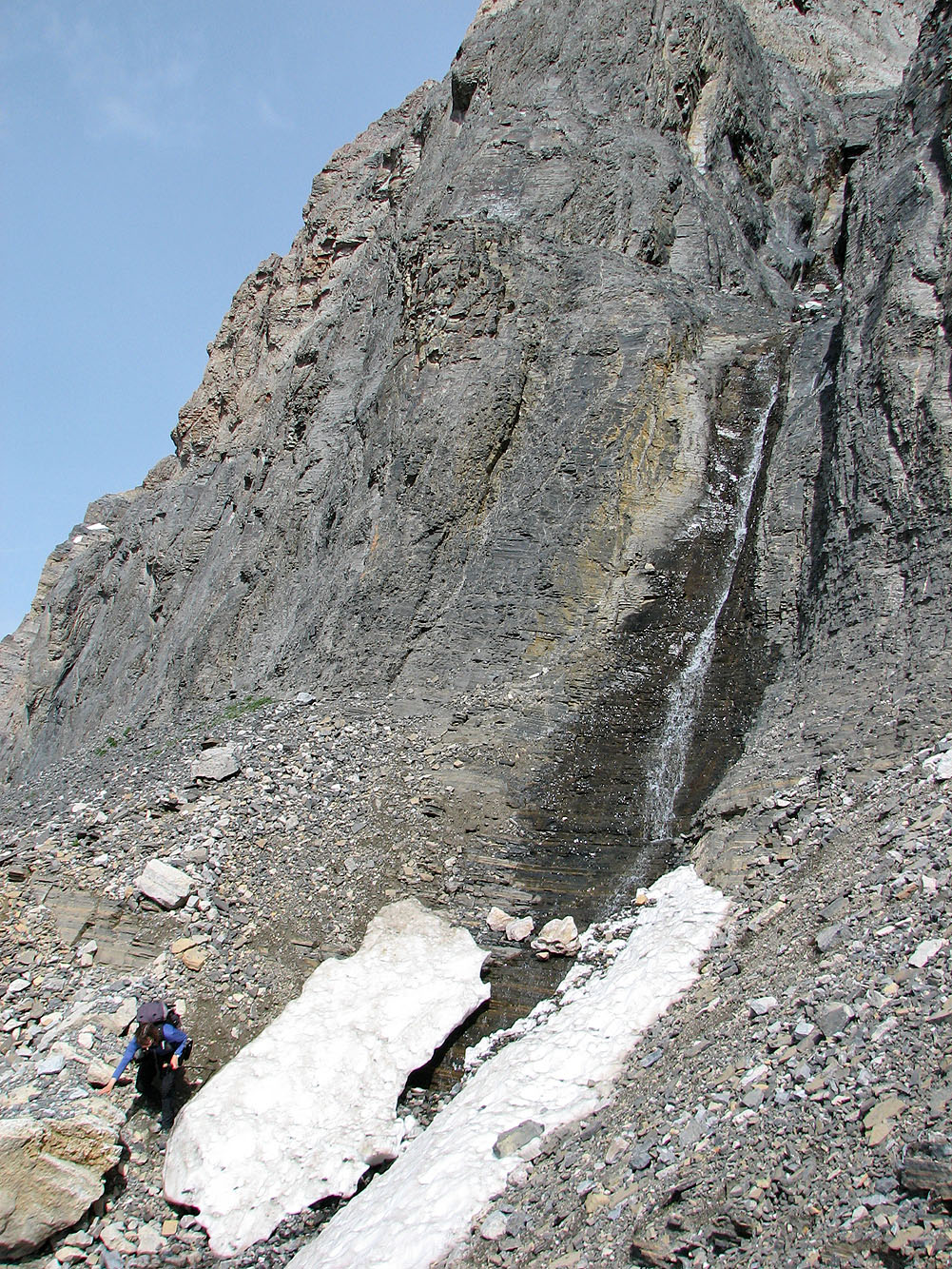
We passed a small waterfall
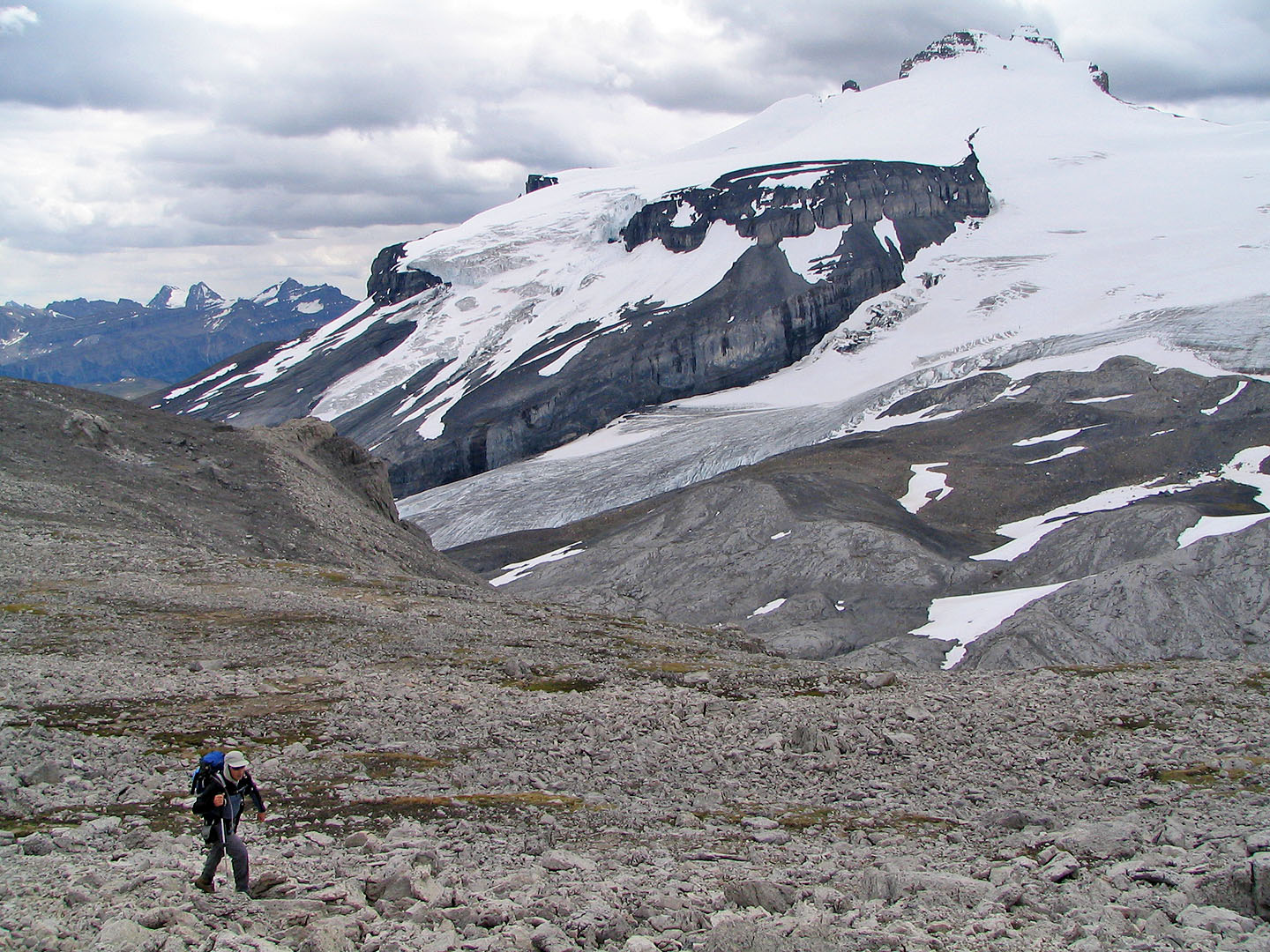
After climbing up a breach in the cliff band, we reached the plateau. Mount Hector looms in the background.
The plateau is incredibly flat
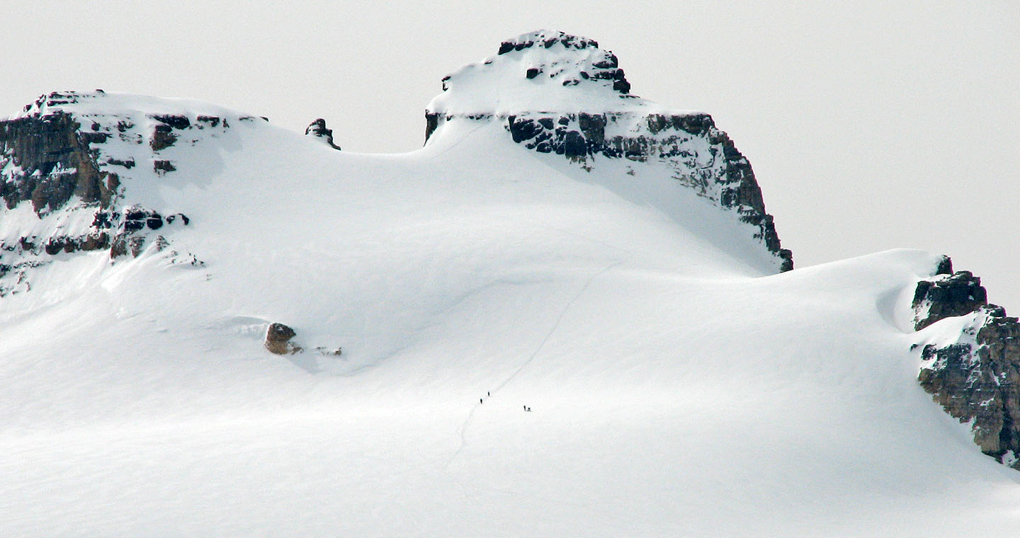
We spotted four figures on Mount Hector. The two on the right are turning back while the others pressed on.
Mouse over to see them a short time later.
Heading to the east peak
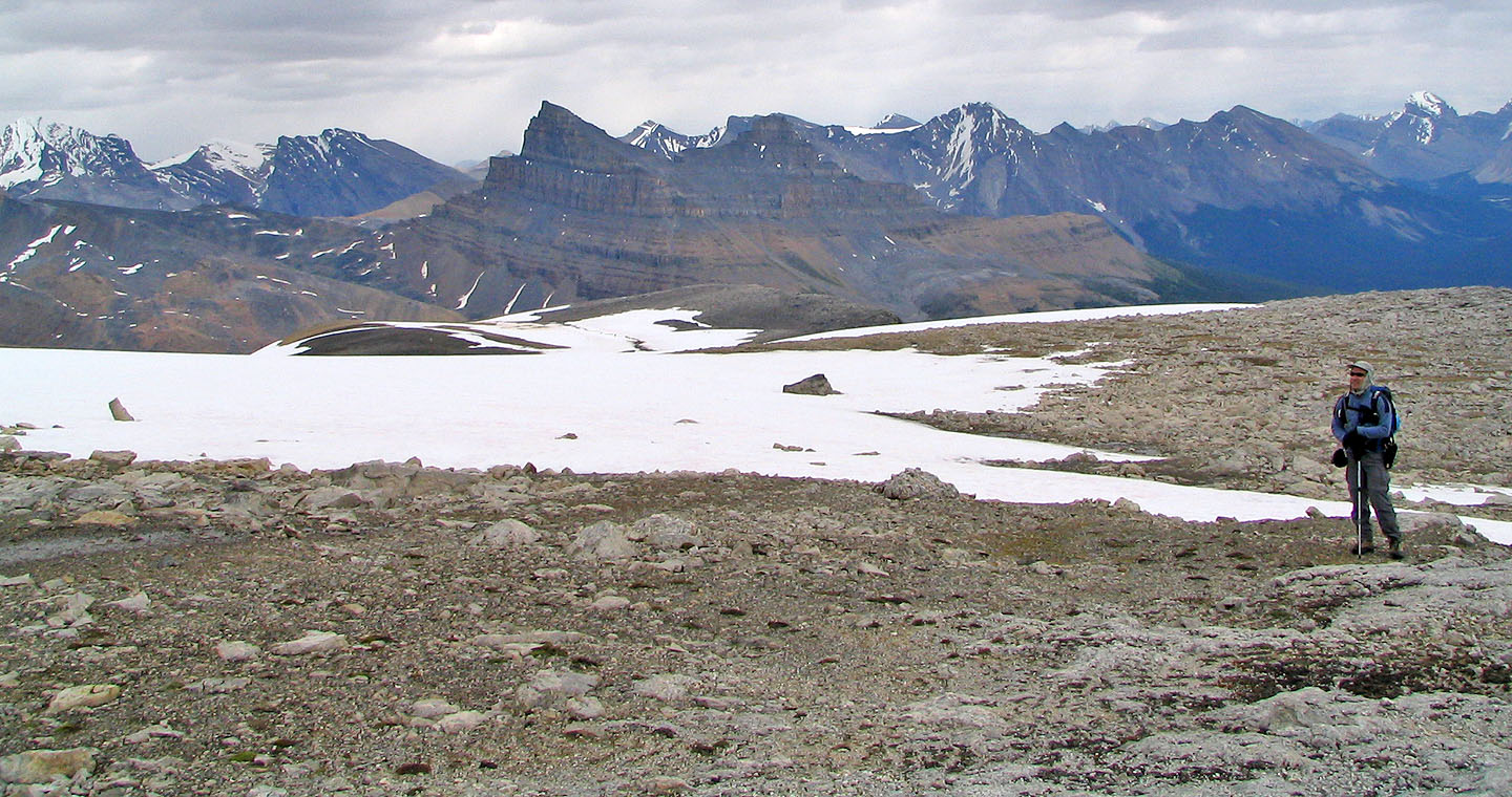
Looking back at the plateau. Behind is Molar Mountain.
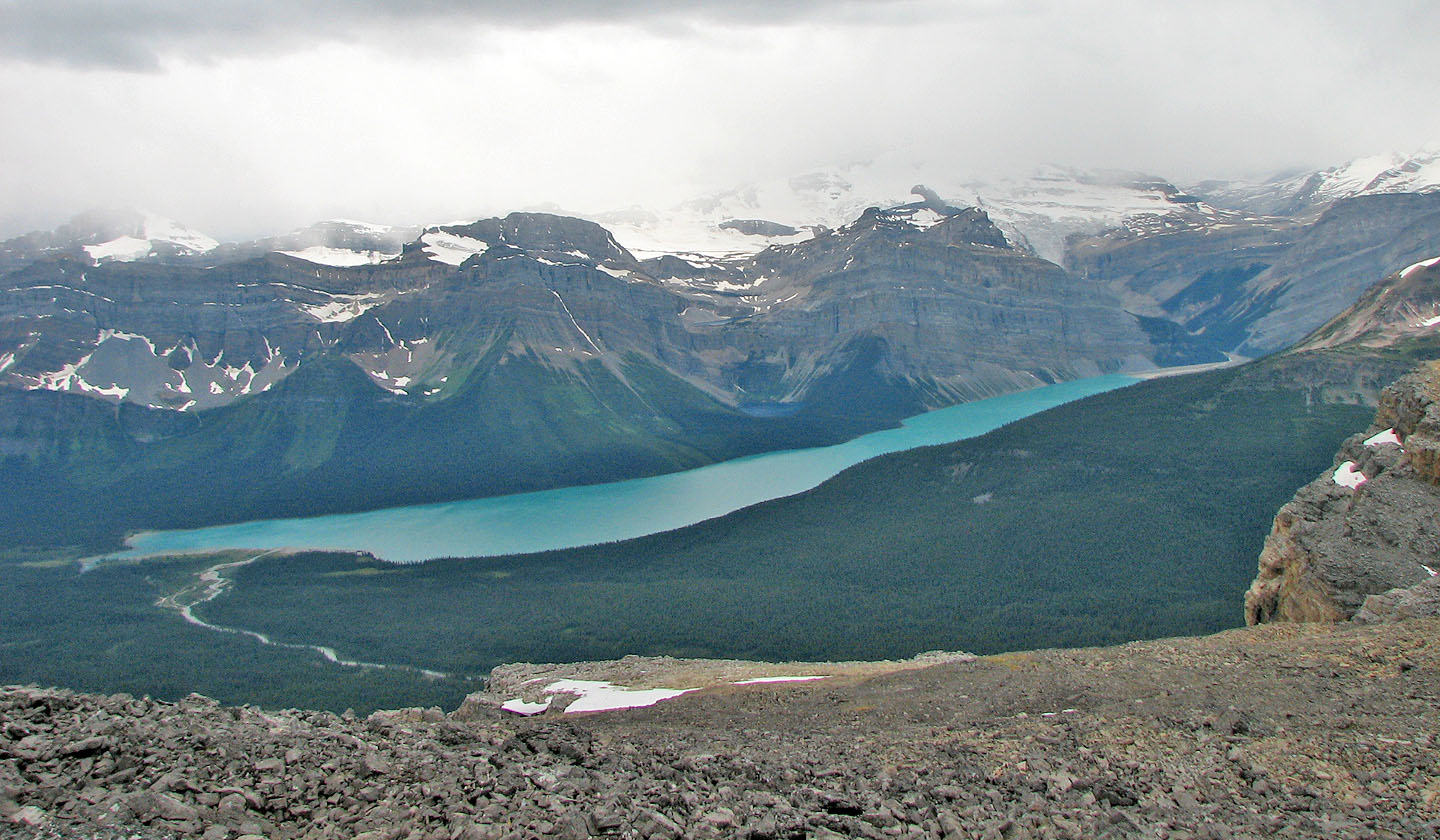
Hector Lake
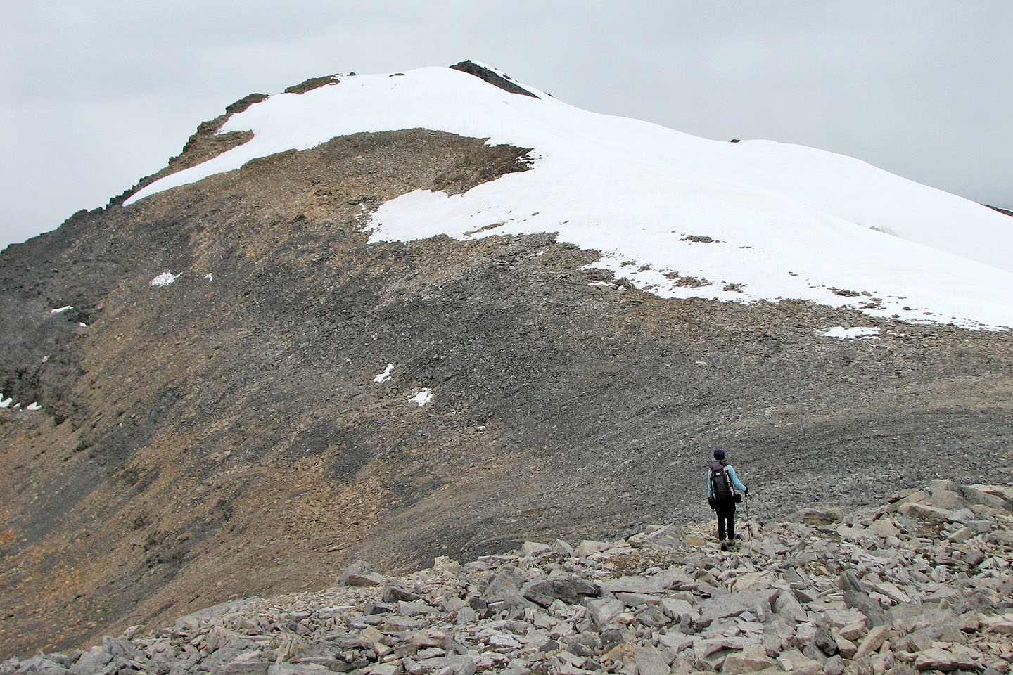
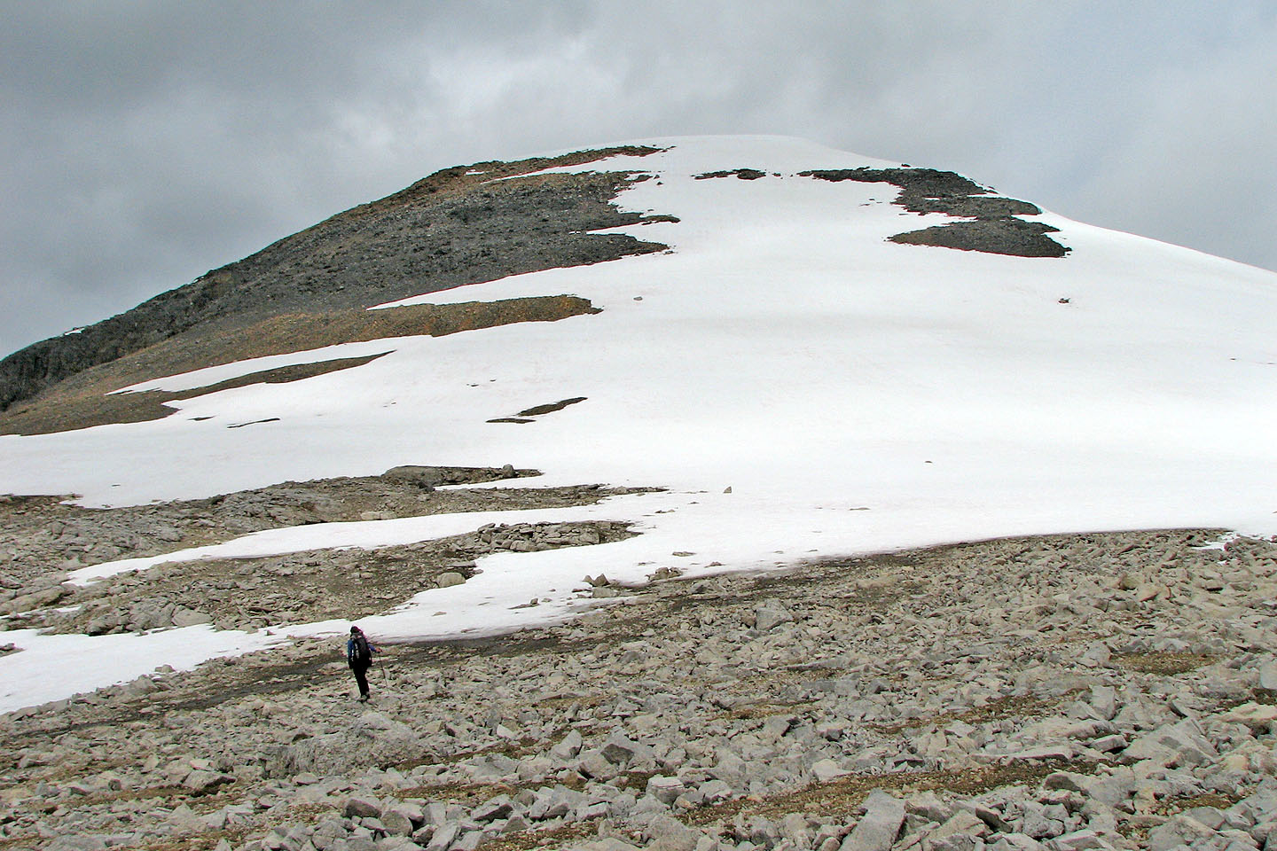
After leaving the east peak, we headed towards Mount Andromache
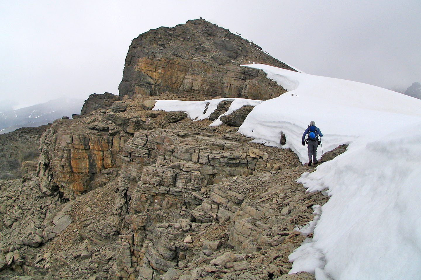
Closing in on the summit
It's a short climb the summit
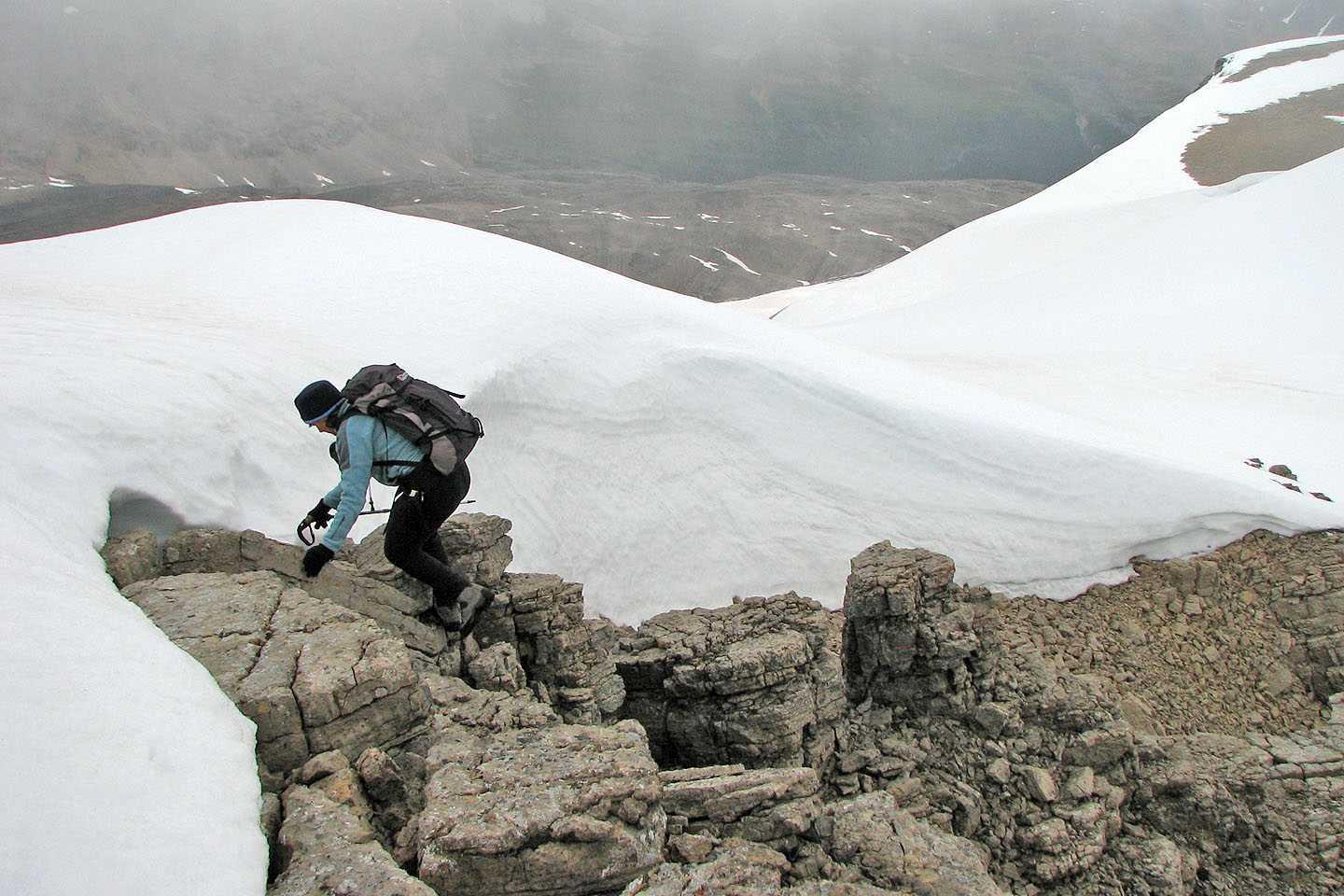
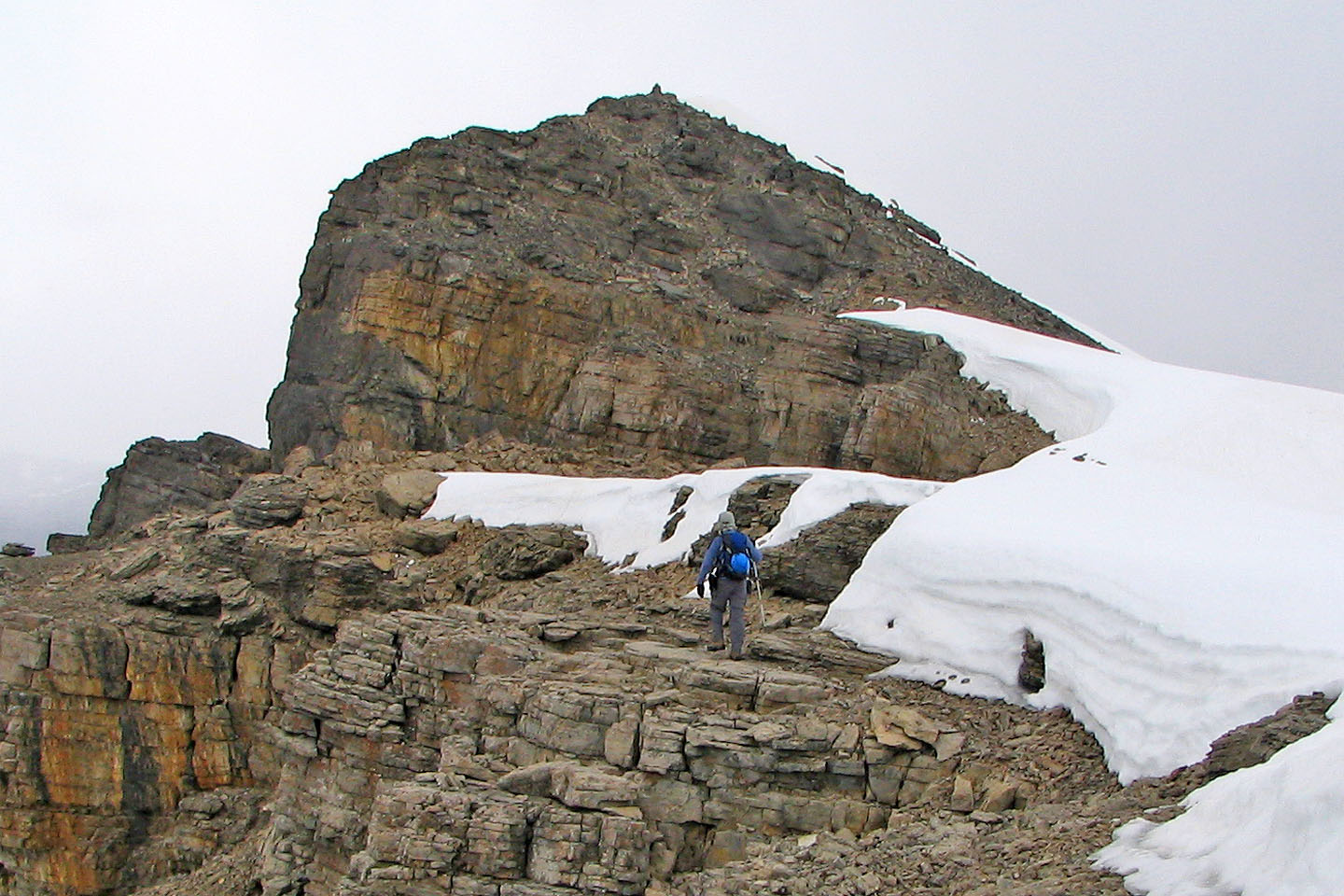
Scrambling up the last few metres
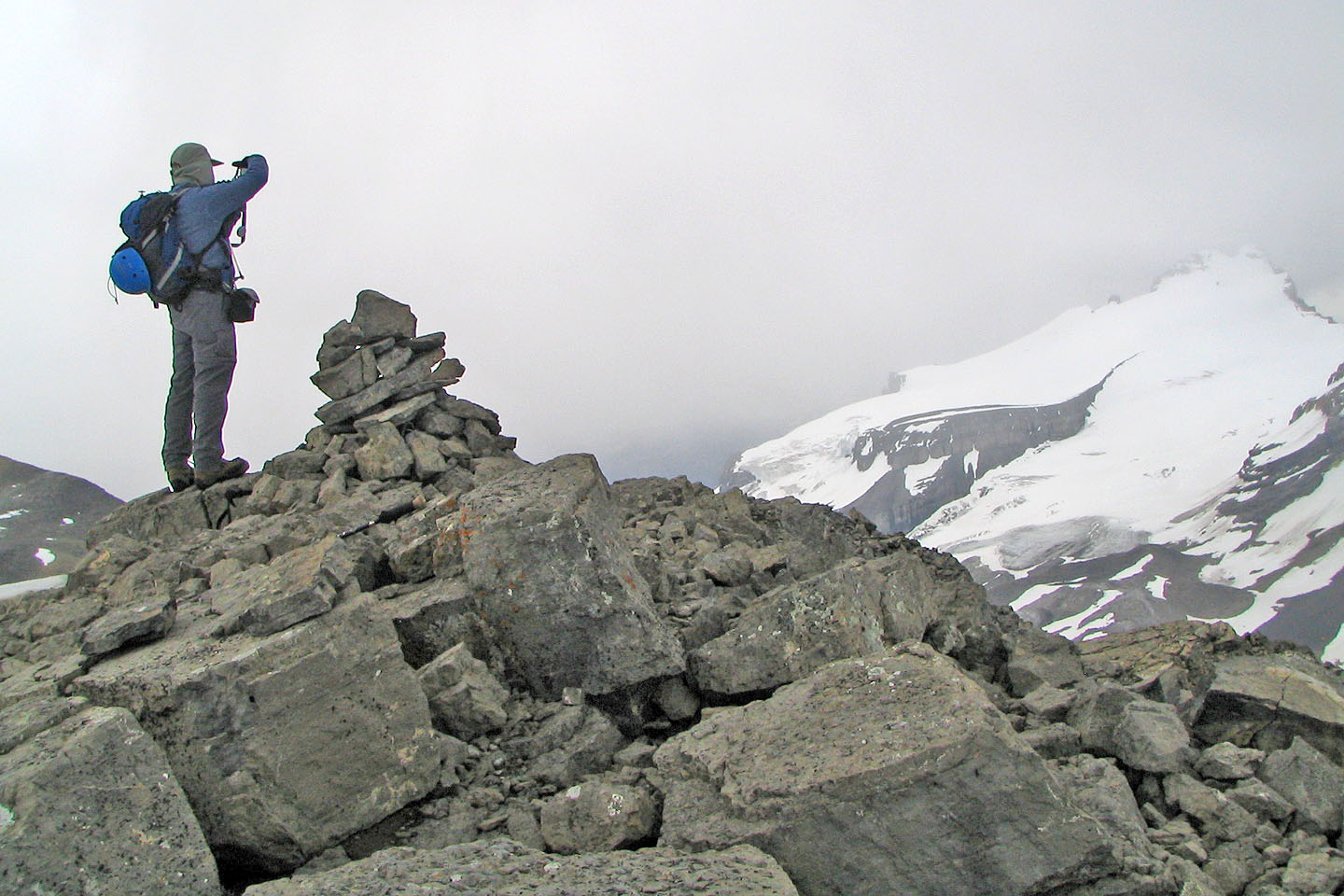
On the summit. Clouds were beginning to obscure Mount Hector.
82 N/9 Hector Lake