bobspirko.ca | Home | Canada Trips | US Trips | Hiking | Snowshoeing | MAP | About
East Peak of Pasque Mountain
Kananaskis, Alberta
September 15, 2018
Distance: 12.9 km (8.0 mi)
Cumulative Elevation Gain: 588 m (1929 ft)
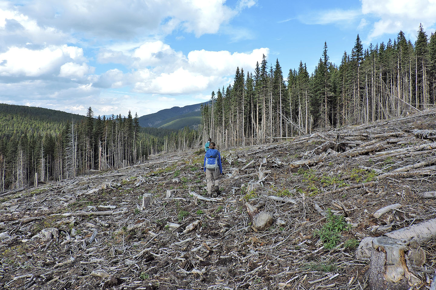
Our loop hike on the East Peak of Pasque Mountain was bittersweet. We enjoyed the ridgewalk to the summit and the colourful fall larches when we dropped down to a meadow, but we were unprepared for the ordeal that followed. Instead of cruising through the woods on a good trail above Wilkinson Creek, we stumbled through a swath of devastation: logs, broken branches and wood chunks now replaced the forest. Nearly 2 km of the trail was gone, wiped out by a vast cutblock.
I got the idea of doing the East Peak after reading the route description in the Kananaskis Country Trail Guide. In 2008, Dinah and I climbed Pasque Mountain, the West Peak, but didn't do the horseshoe route which includes the East Peak. Now, along with Zora, we set our sights on the East Peak.
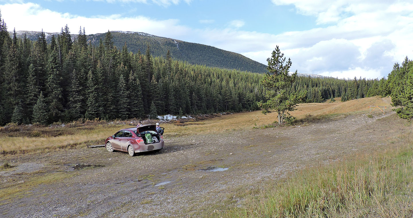
From the trailhead, we started up an old road. We hiked well up it before realizing we missed the turnoff. Easy to do, we soon found out, because there is no path linking the road to the trail. To reach the trail, hike 400 m up the road and drop down to the long meadow on your left. The trail begins at the end of the meadow. Look for flagging.
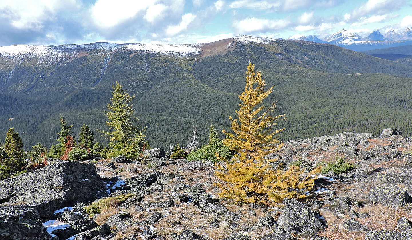
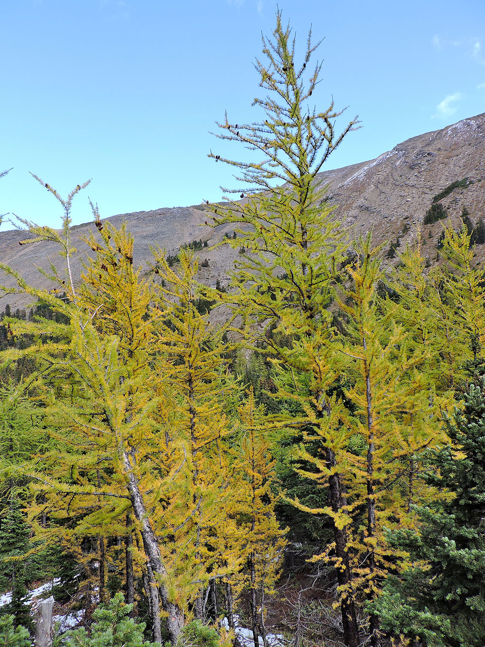
The trail eventually swings left then right, intersecting a cutline twice. Catching the cutline at the first intersection would have cut off nearly a kilometre of trail, but we missed it. The overgrown, deadfall-covered cutline doesn't stand out from the surrounding forest. But we found the second intersection and followed the cutline to the crest of the north ridge. We hiked up the lengthy ridge as it alternated between grassy and rocky sections. Along the way, we passed larches turning yellow, but still a week away from full splendour.
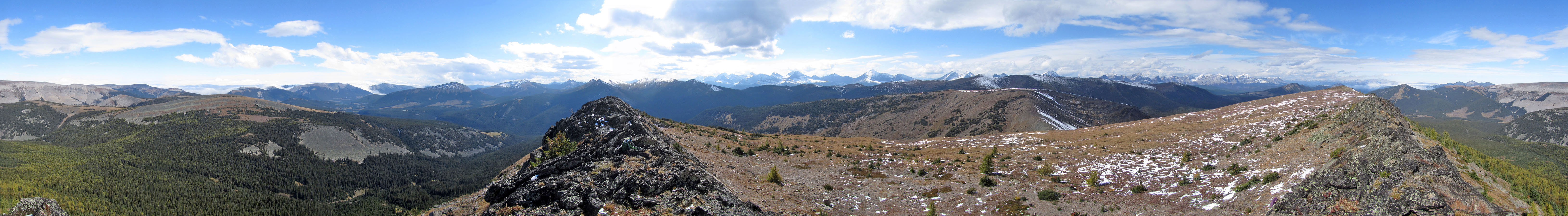
Then we reached the summit. After a brief, easy scramble, we were atop the East Peak. We were fortunate to find ourselves under blue skies as other peaks, shrouded in clouds, weren't so lucky. Then we hiked down the grassy west slope to the col where we picked up a good trail.
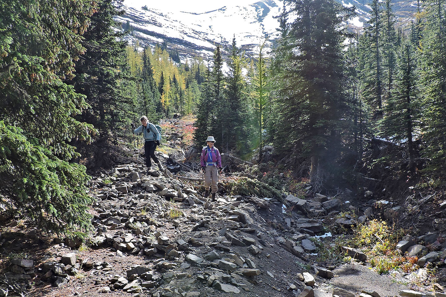
The trail gently drops to the valley below and disappears in a stand of larches. Continuing down, we came to a gully and followed it to the meadow. After crossing the meadow, we started along a brook while aiming for our next waypoint: the end of the Wilkinson Creek trail, the same trail we used to reach the cutline. But after hiking just twenty minutes, we found ourselves at the edge of a large cutblock with no trail and no sign of where to go next.
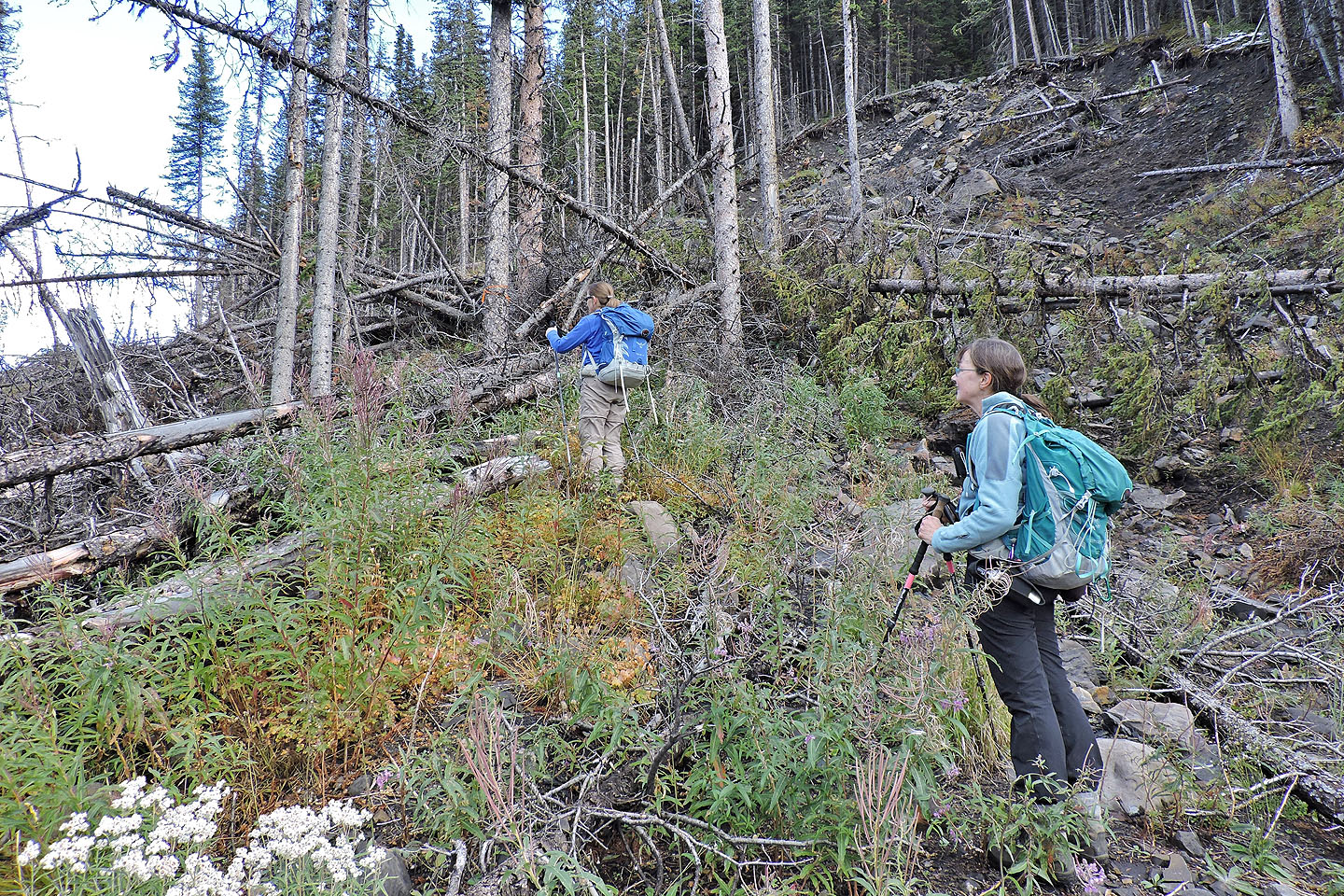
We had a printout of the route and followed it as best we could. As we hiked through the wasteland, we looked for the trail at the edge of the forest. We did find it a couple of times but after travelling 100 m or so we ended up back in the cutblock. The brief forest trails were actually more difficult to cross than the cutblock because of extensive deadfall. Eventually we came to the uninterrupted trail going to the second intersection. We came down the cutline shortcut and followed the trail and the road back.
Postscript: The trail was cleared the following spring. After our trip, I had emailed Gillean Daffern. I told her about the destroyed trail section and sent a map and some photos. Gillean forwarded them to her contact at SLS (Spray Lake Sawmills). He replied:
I will definitely have a crew go in and slash this trail. I will also bring this up at the next staff meeting. I hope to have the trail cleared this fall before it is snow-covered. If for some reason this is delayed the trail will be slashed next spring. I will inform you when the trail has been cleared.
The north ridge of the East Peak of Pasque seen from the trailhead
The trail begins at the end of the far meadow on the left side
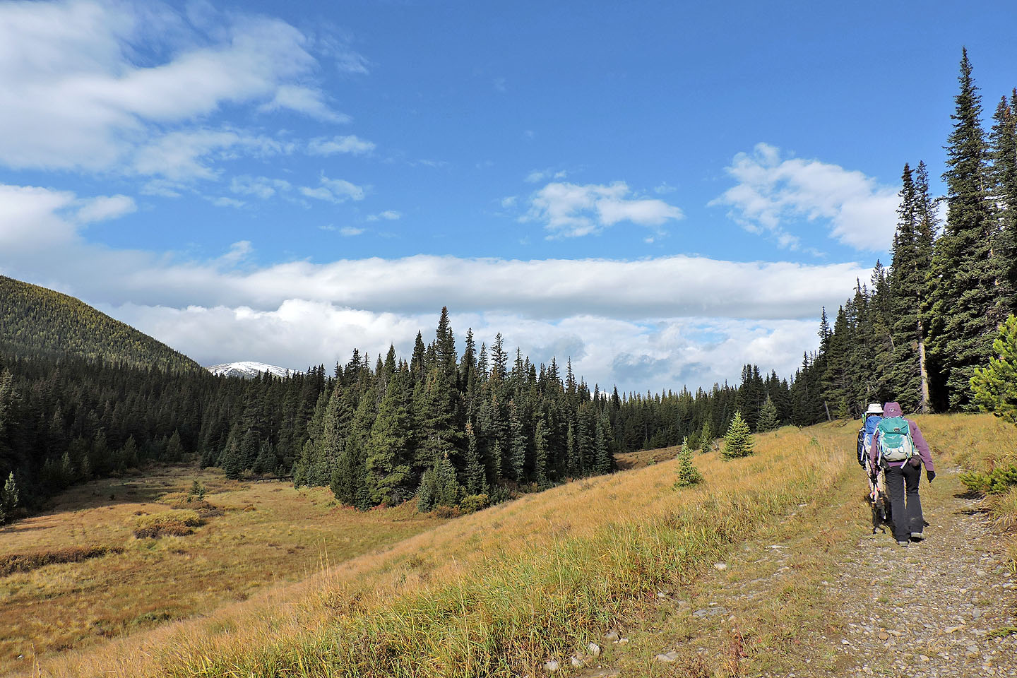
Starting up the trail at the end of the meadow
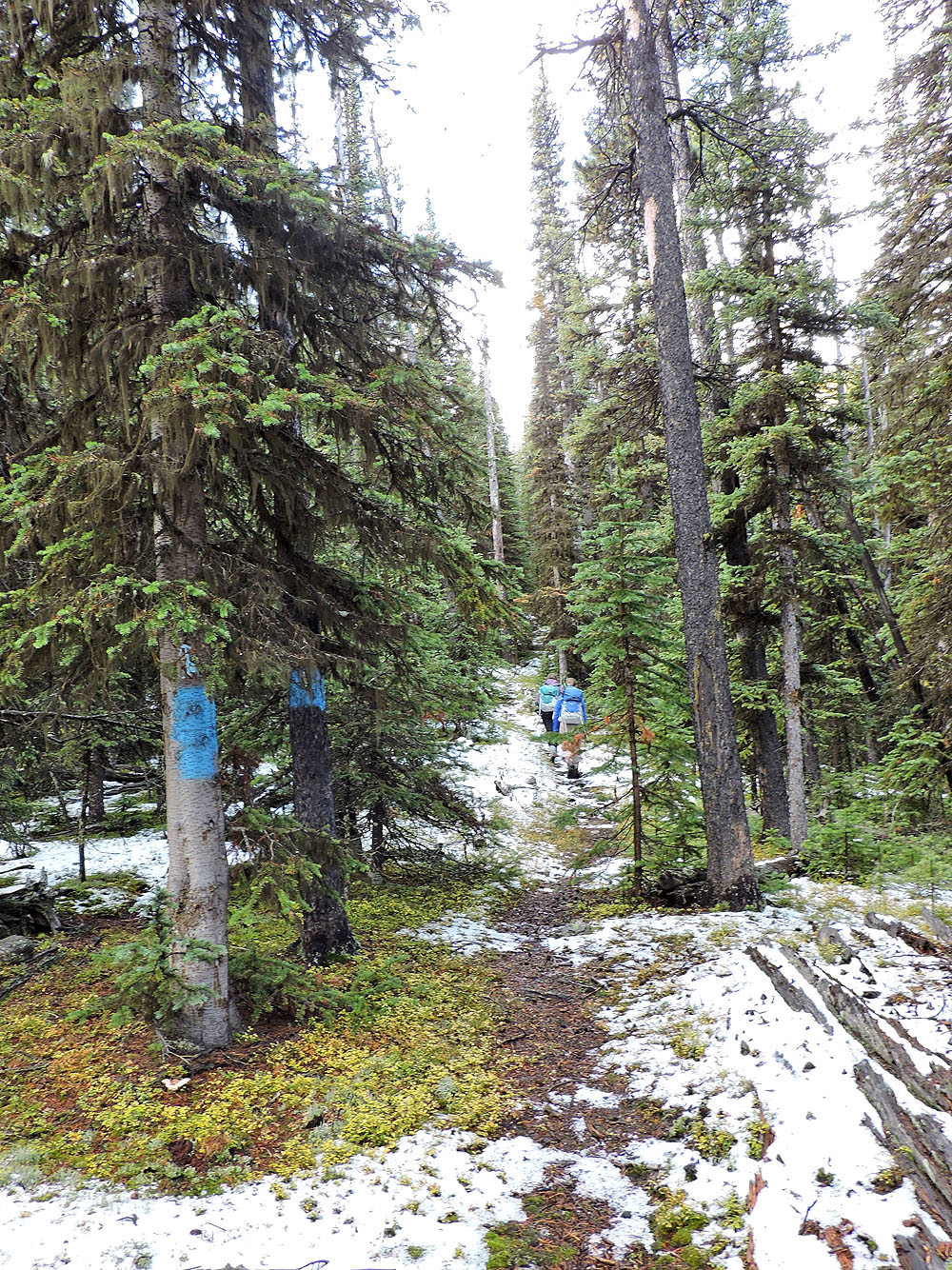
Soon after starting up the trail we passed trees painted blue
From the trail we got a glimpse of the ridge
Starting up the cutline
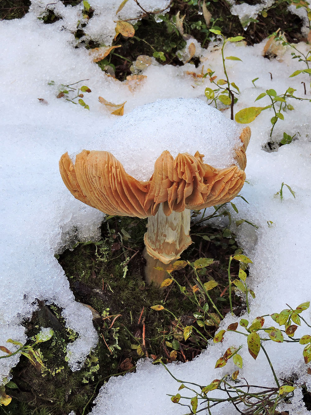
Large mushrooms like this one flourished everywhere
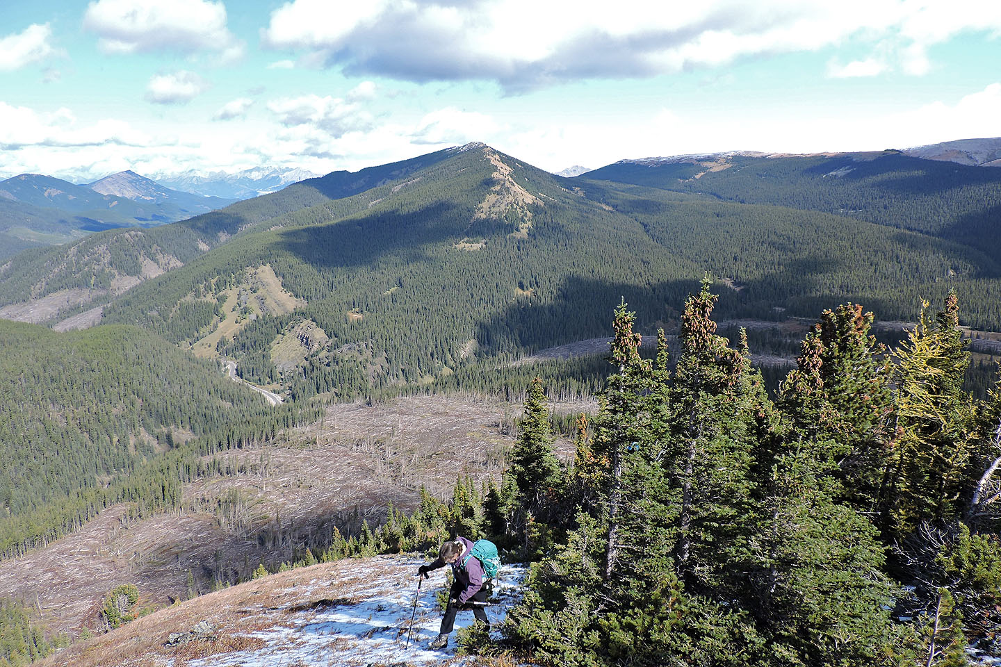
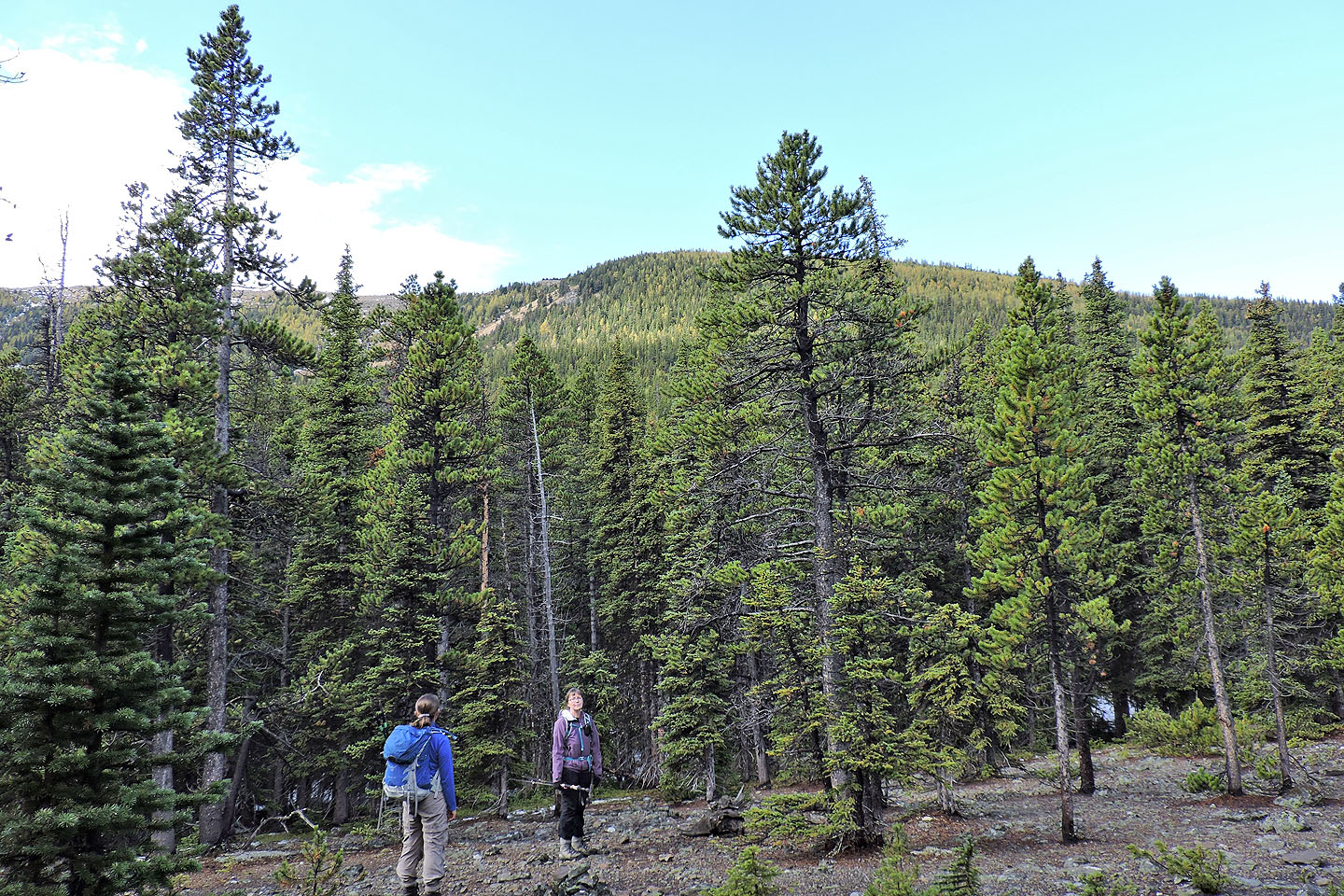
Dinah exits the cutline on the crest. Below is the cutblock we later hiked through.
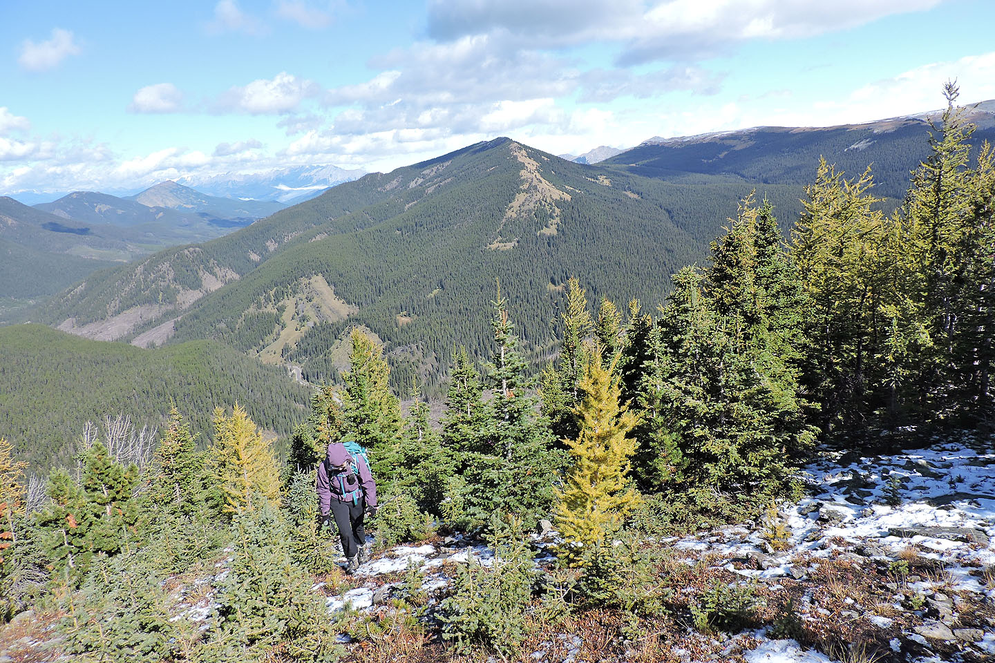
Larches are beginning to turn. Behind is Gerald's Ridge.
The ridge starts off steep but soon relaxes
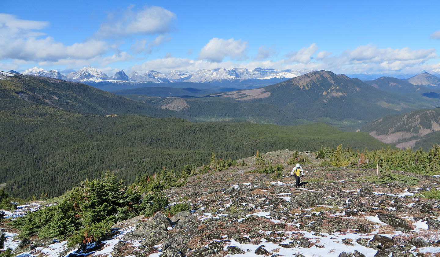
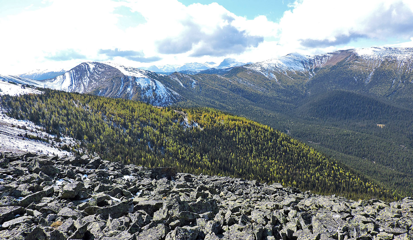
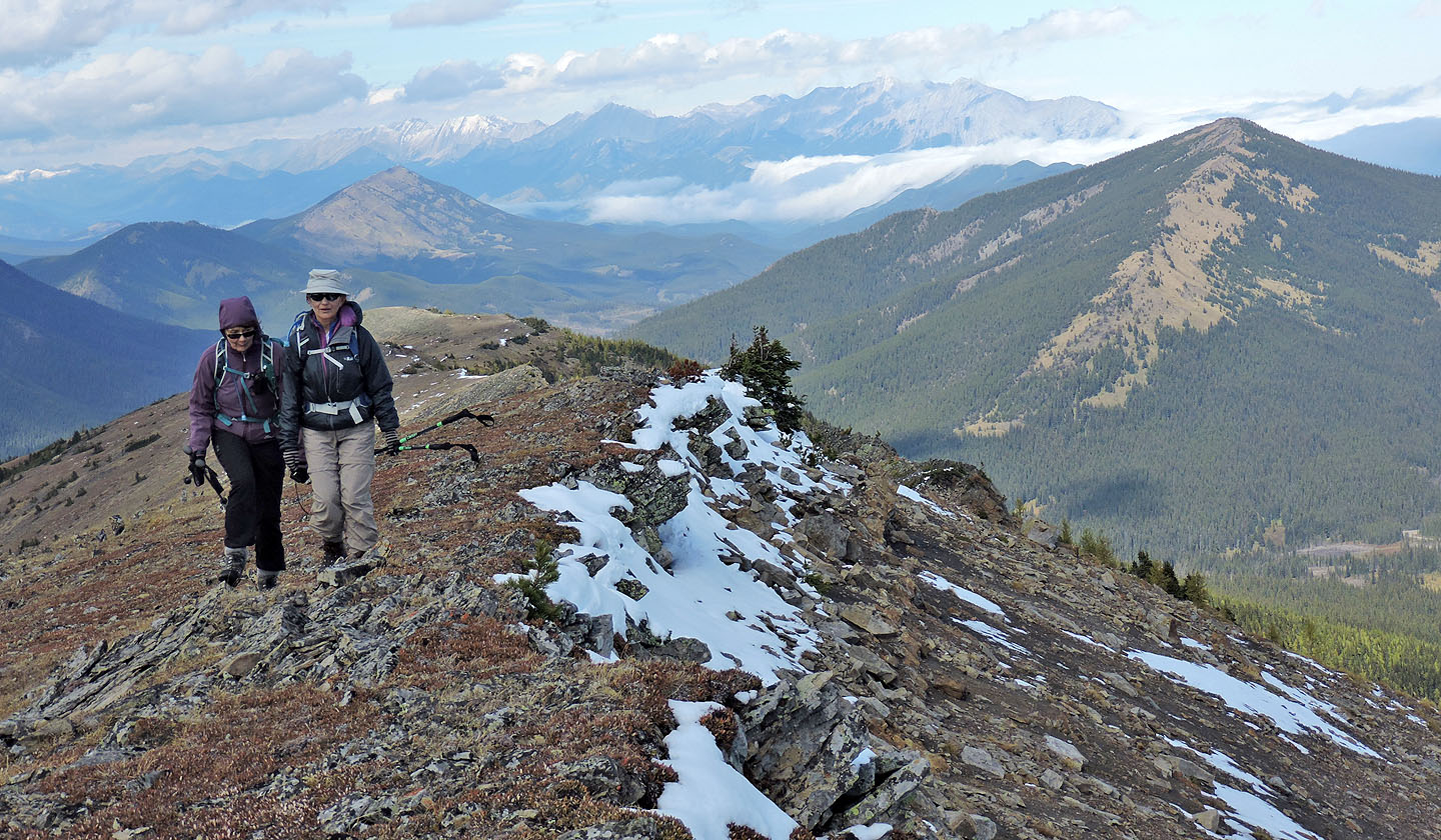
The High Rock Range appears in the background
Across the valley is the north ridge of Pasque Mountain
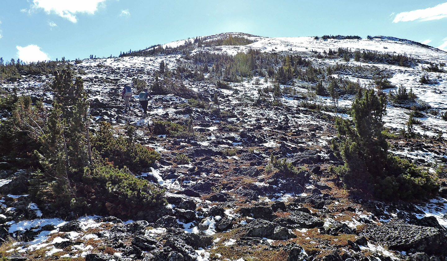
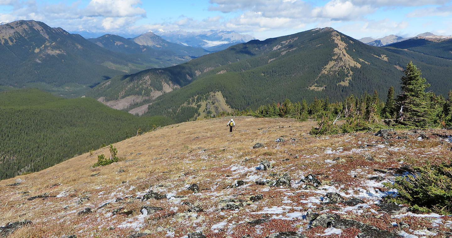
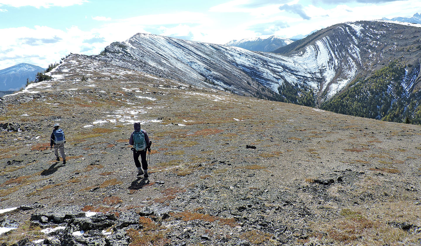
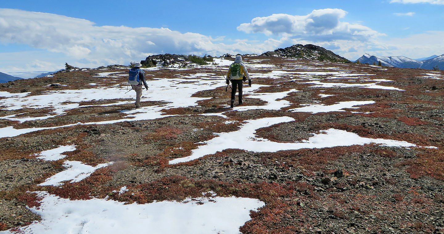
Hiking is easy up the gentle grade
The small, snow-covered bump on the right is the summit of Pasque Mountain
The summit of East Peak appears behind a false summit
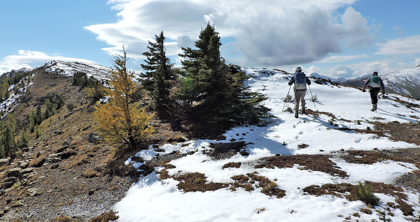
Here and there we passed solitary yellow larches
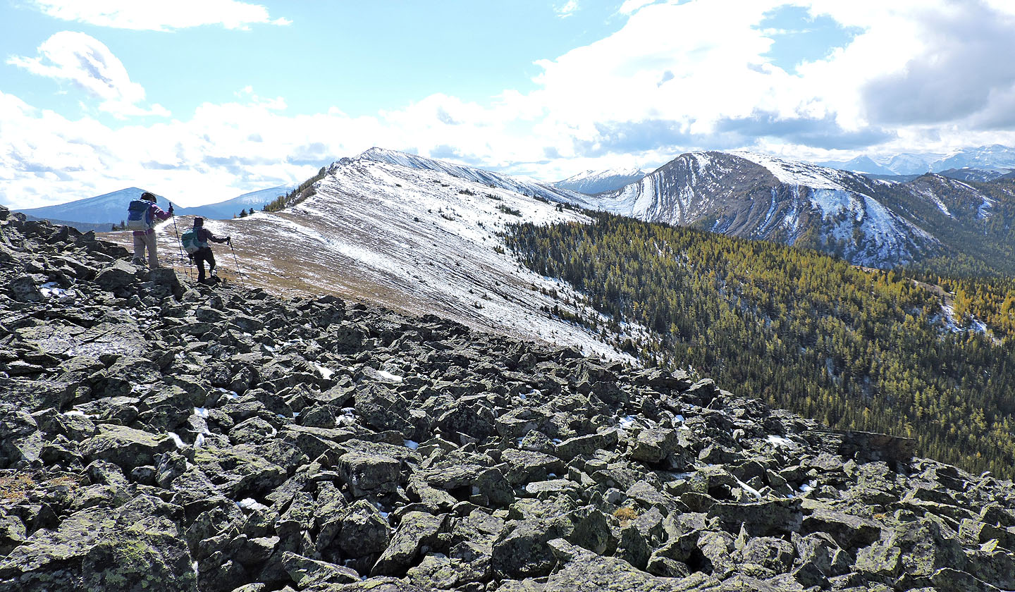
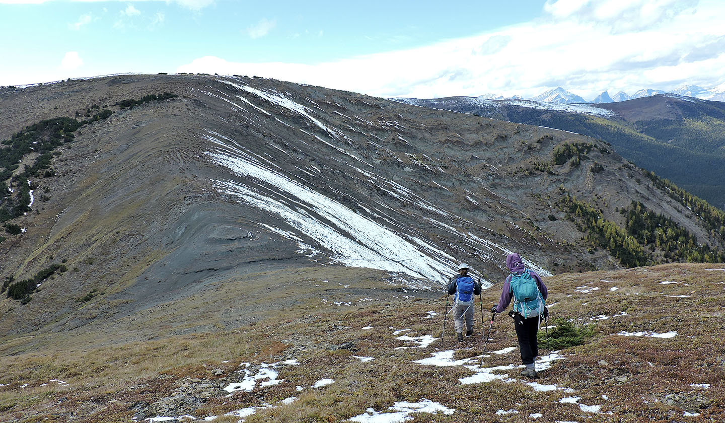
Heading to the false summit. On the right is the col we later descended from.
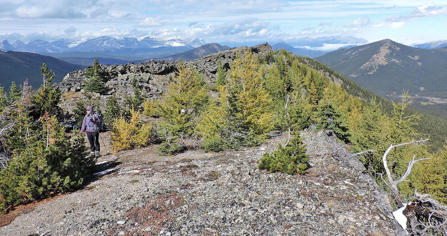
We passed through a stand of larches on the ridge
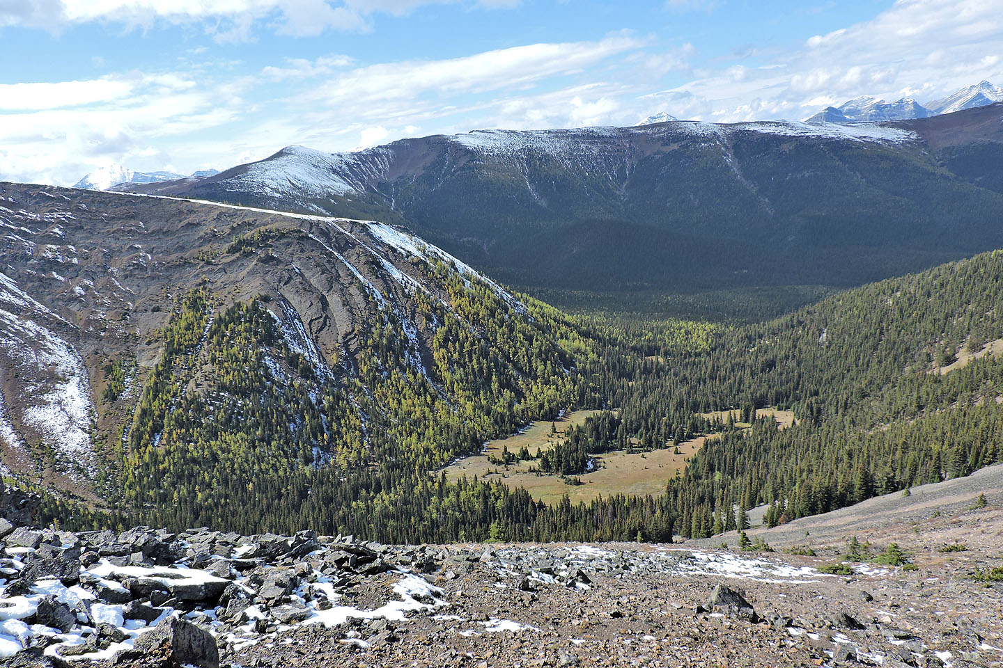
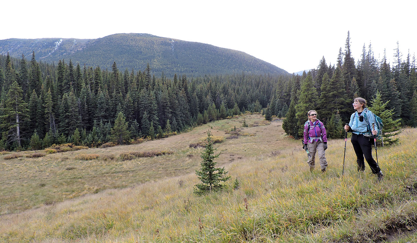
Looking down at the meadow that we later hiked through
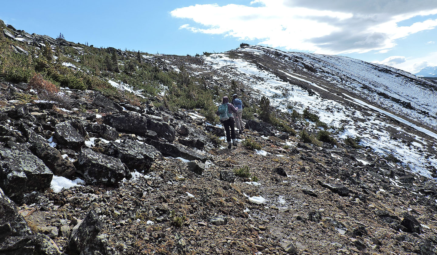
When the ridge crest became rocky and jagged, it was easier to hike below
Behind us, a thick mist appeared to be flowing down a mountainside
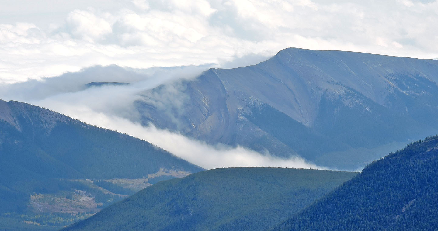
Mist also appears below Coffin Mountain
 Isola Peak lies southeast
We made our way to the summit outcrop
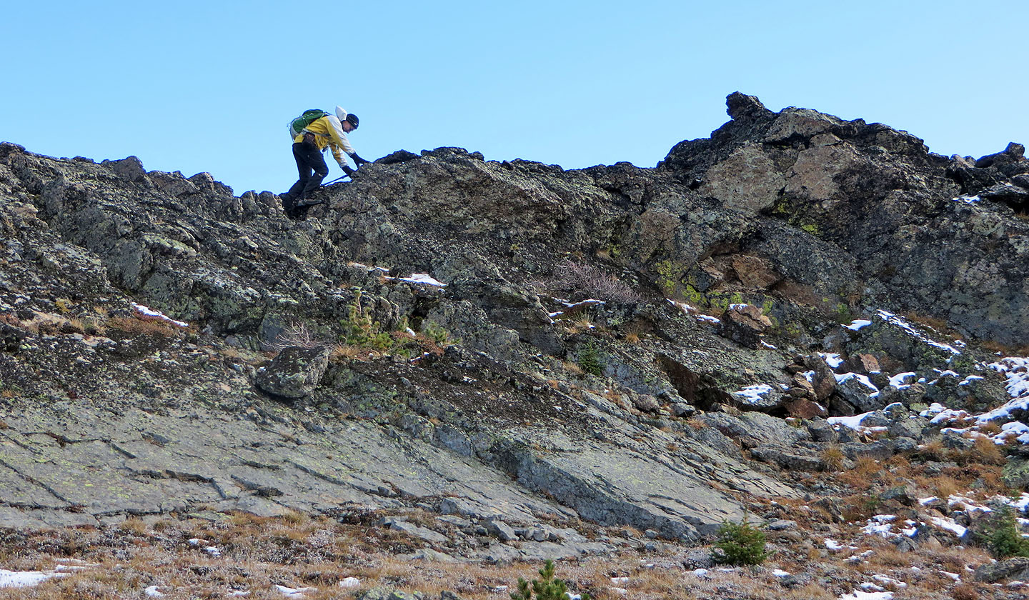
A short climb brought us to the top
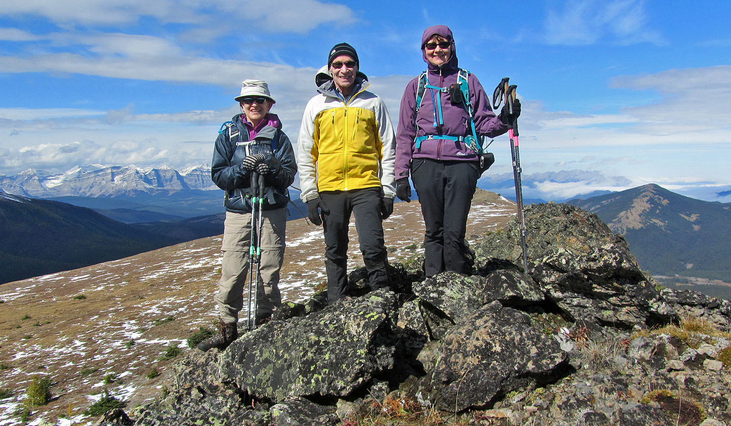
Standing on the summit
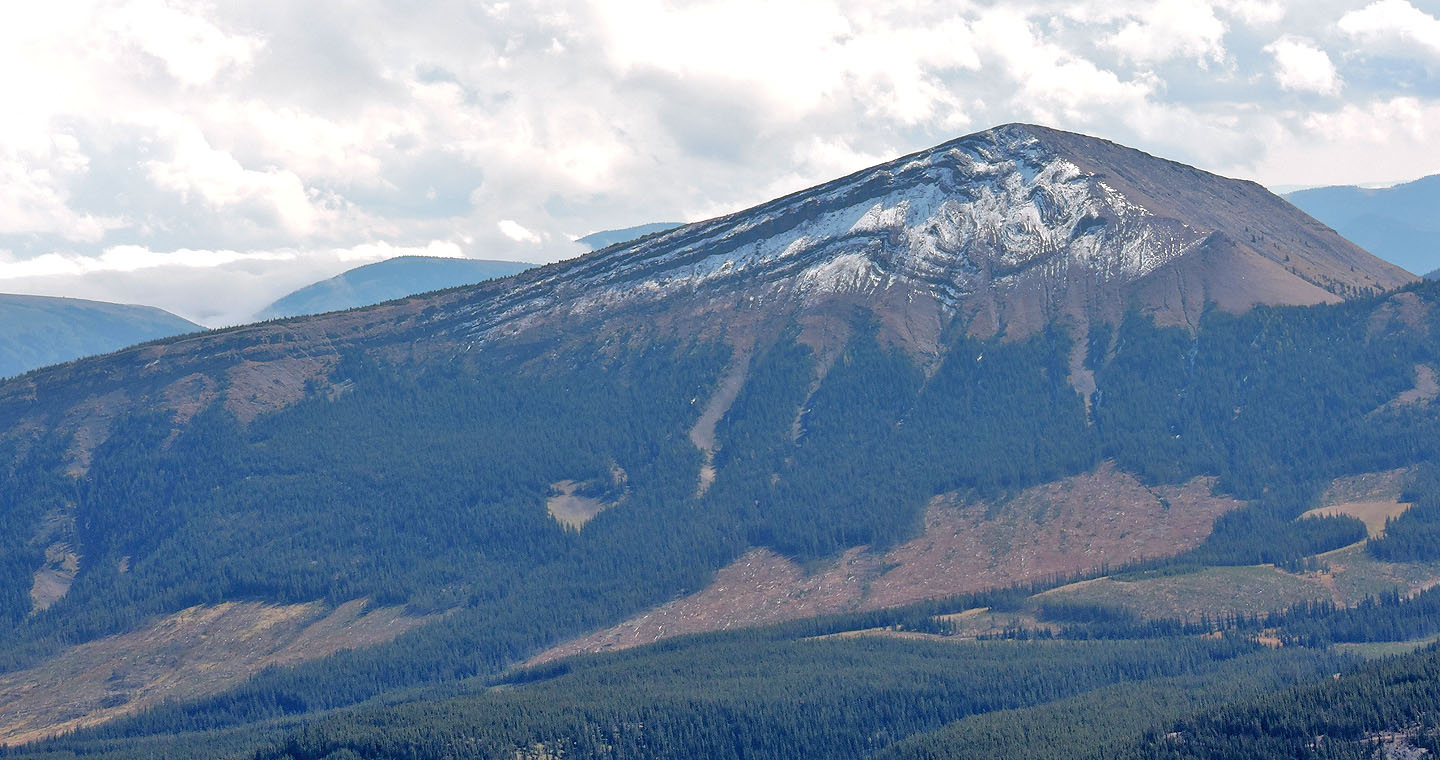
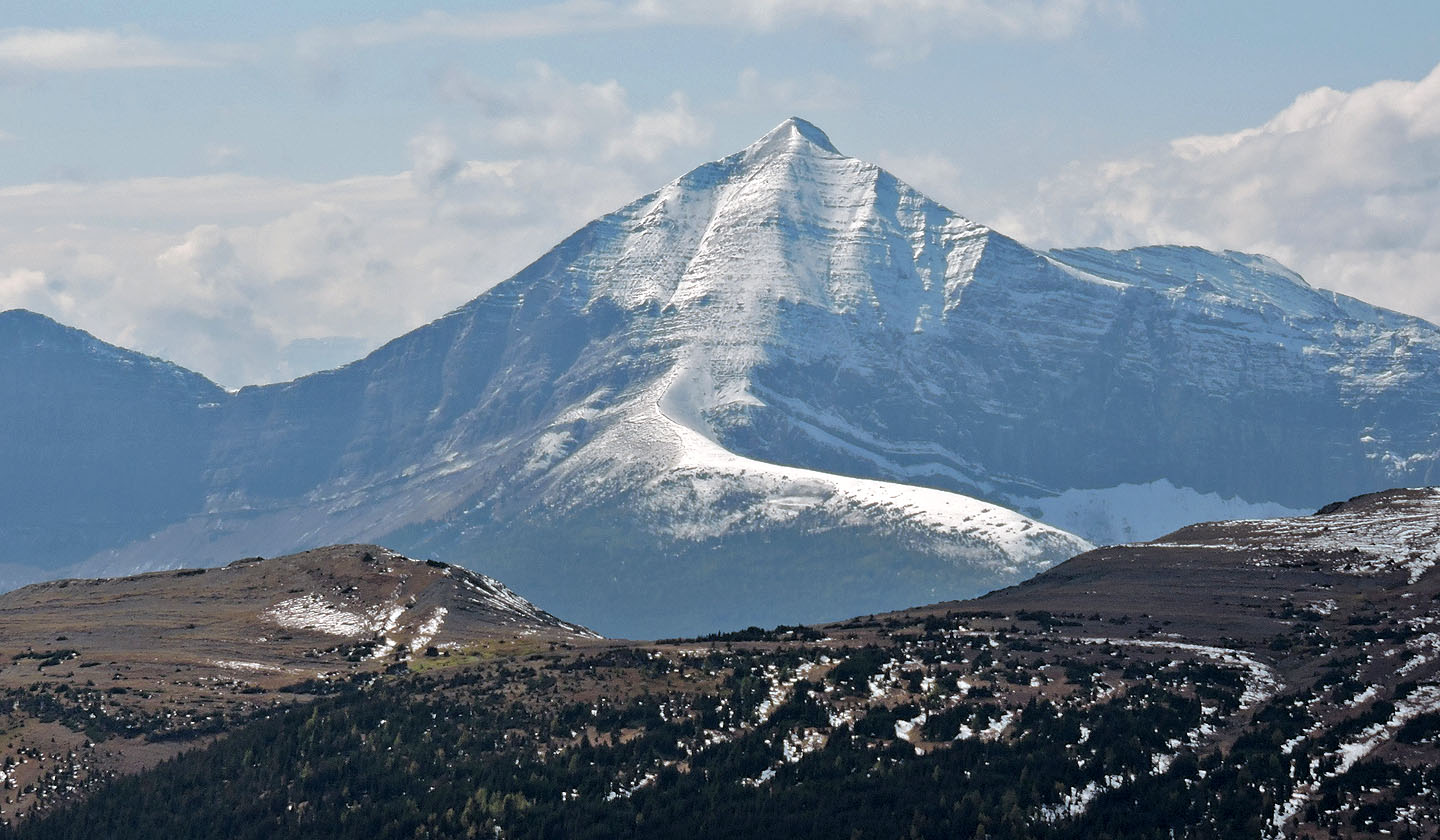 Mount Lyall
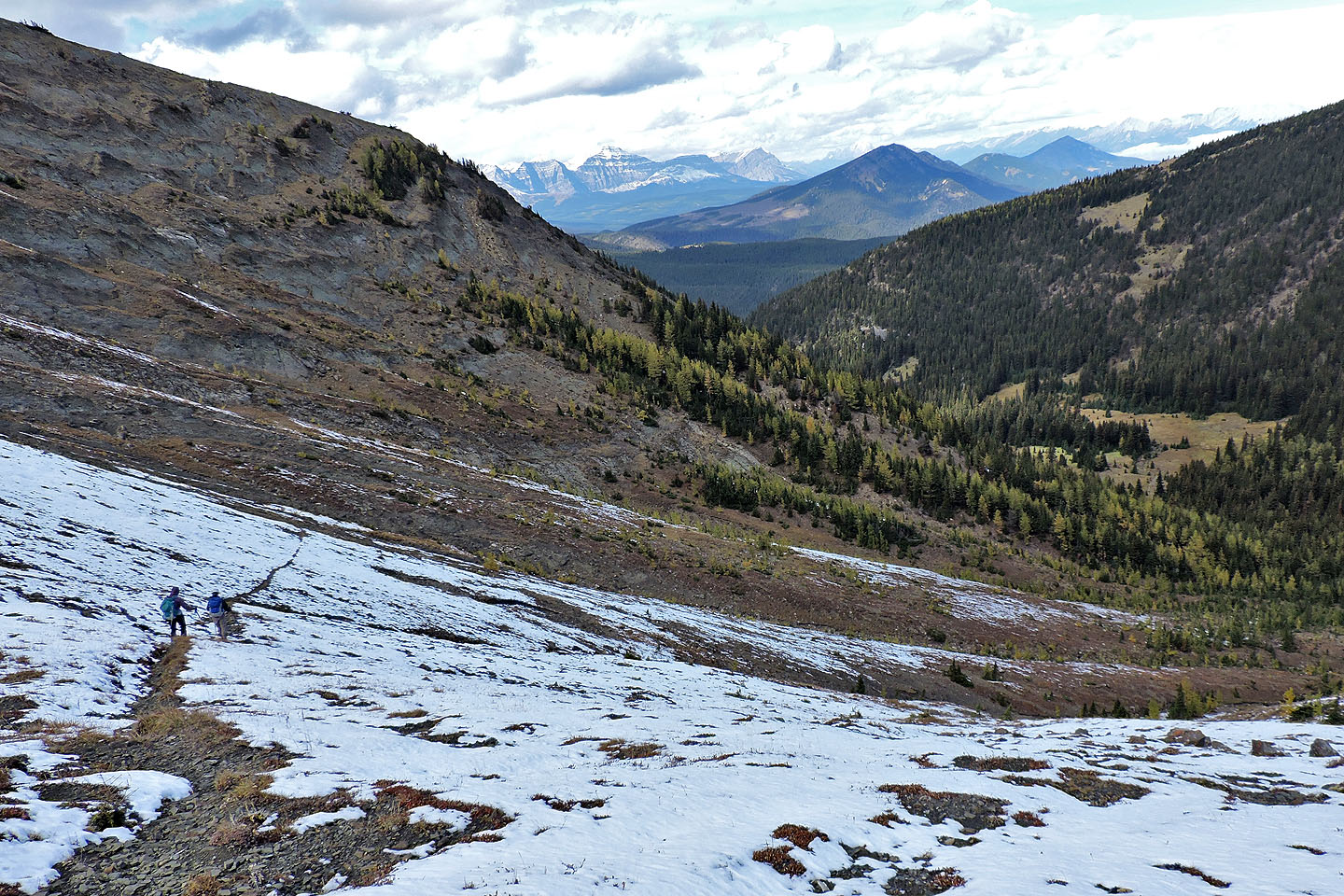
Dropping down to the col. The descent trail appears as a line in the snow.
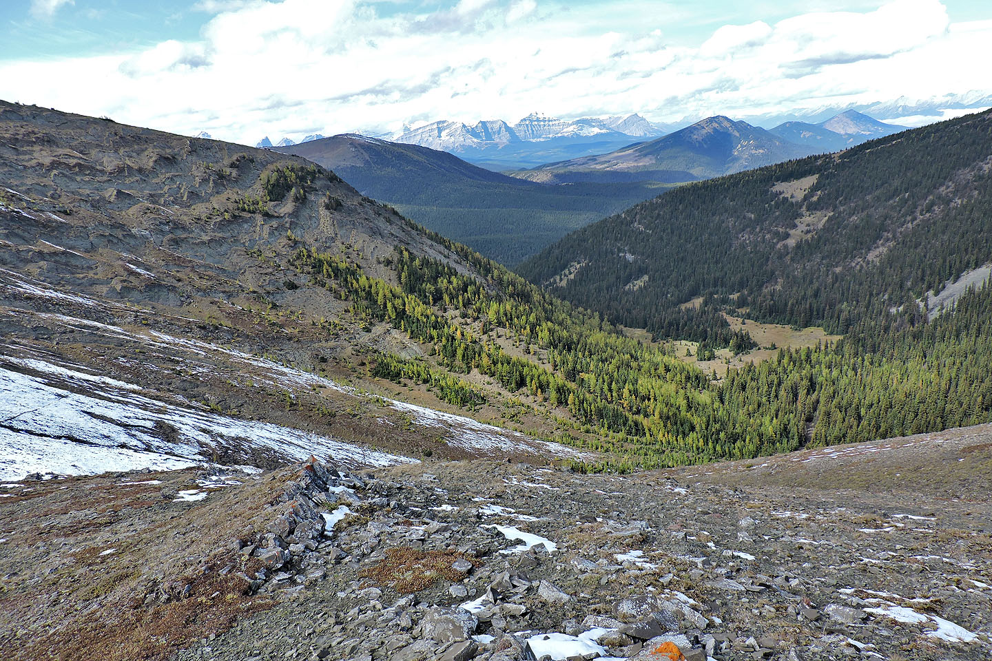
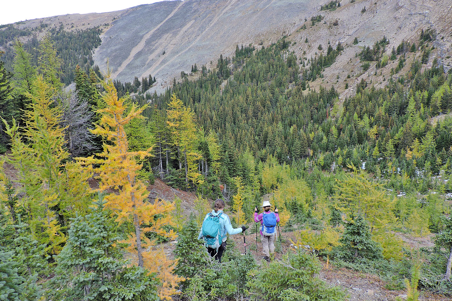
We looked forward to hiking through the larches below
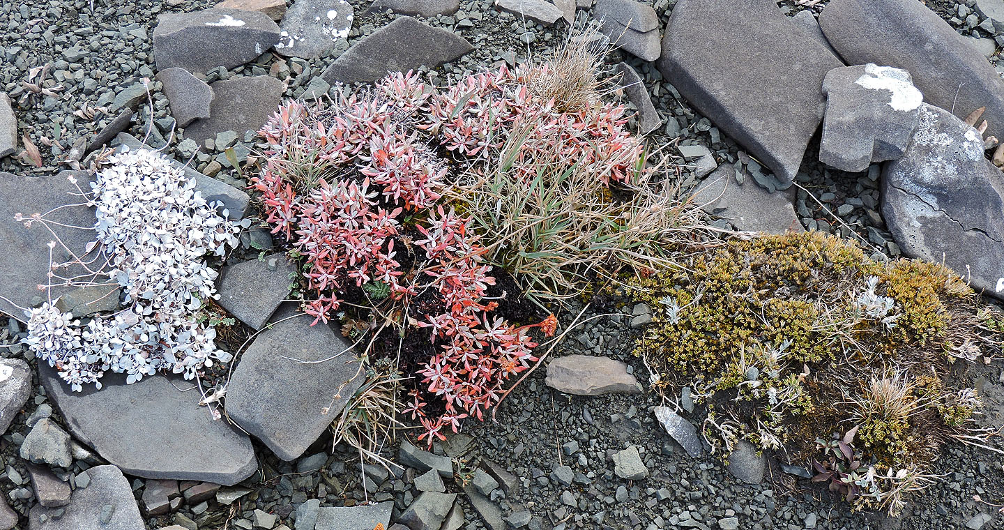
Plants displayed contrasting fall colours
The trail drops down gently
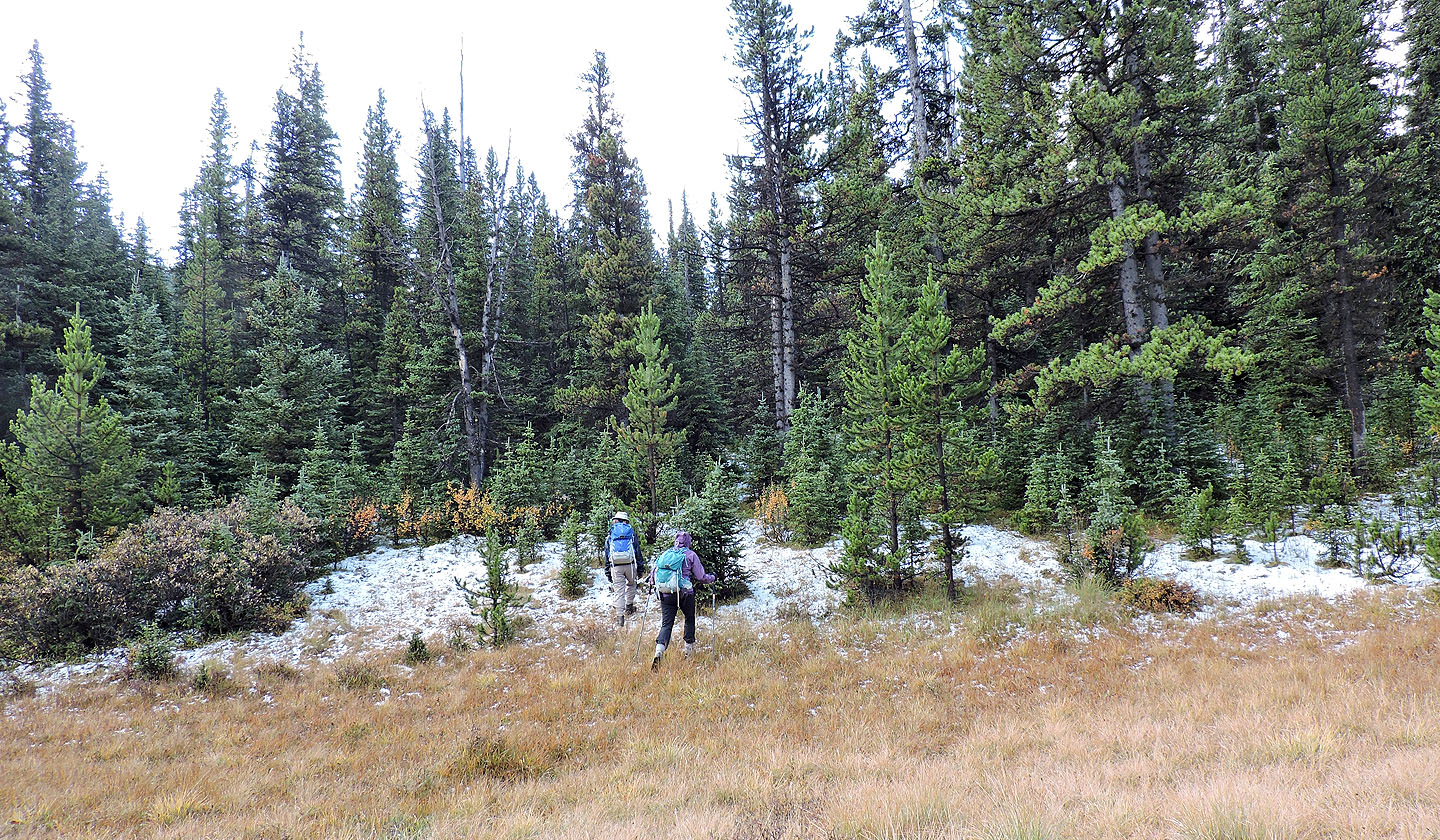
The trail disappeared when we entered the larches
Although not at their peak, the trees were nonetheless a welcomed sight
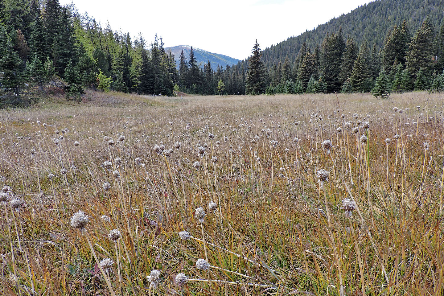
We dropped down to a gully and followed it to the meadow
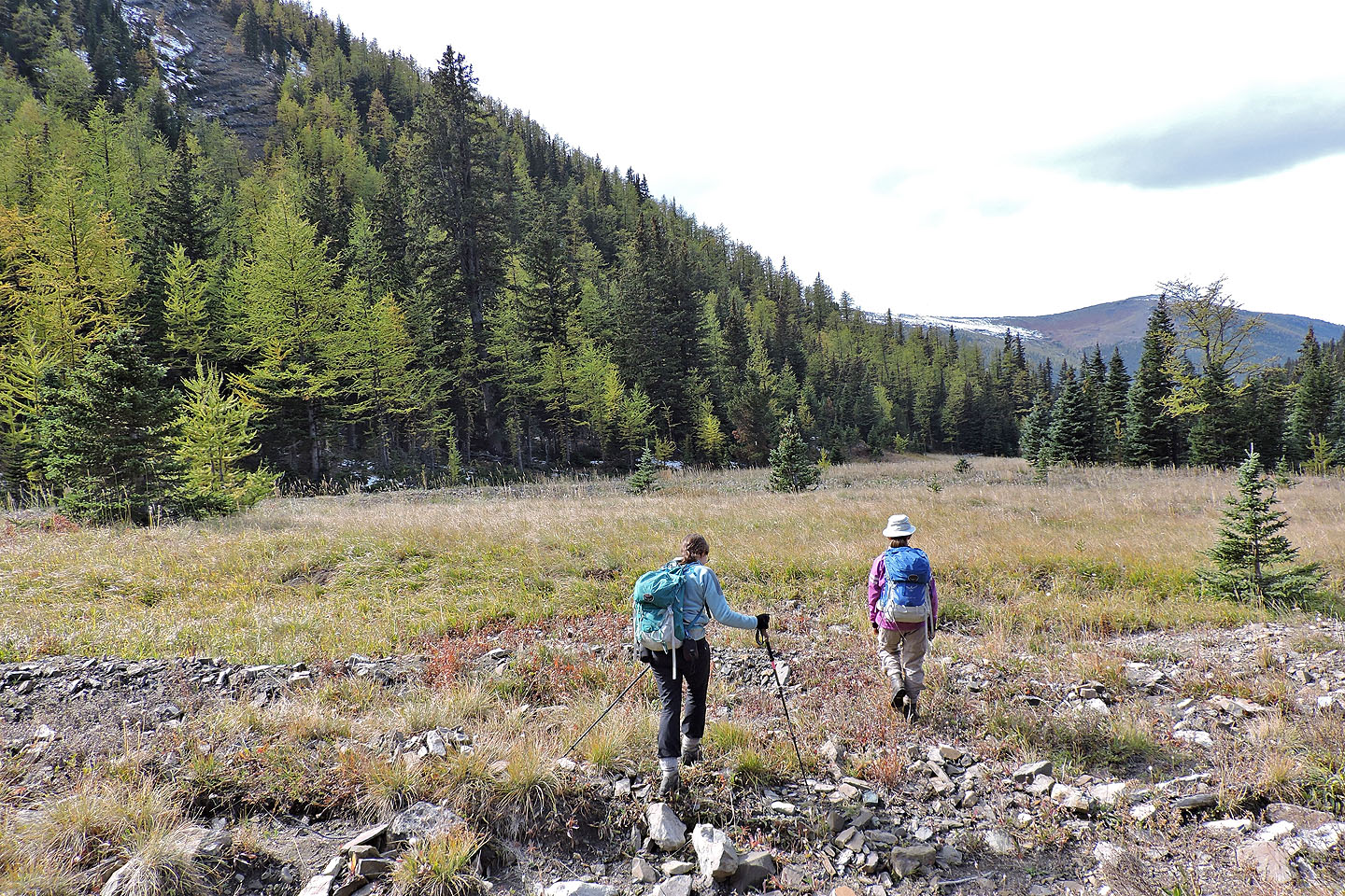
Starting across the meadow
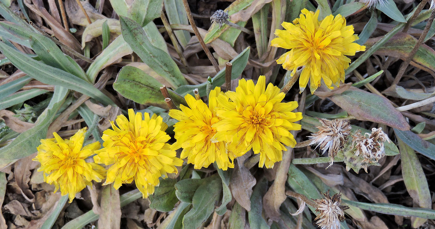
False dandelions still held their colour despite the onset of autumn
There were plenty of dead flowers too
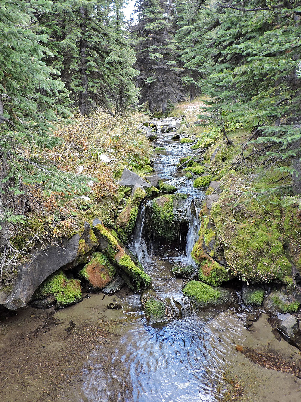
After the meadow, we followed this brook until we found the trail
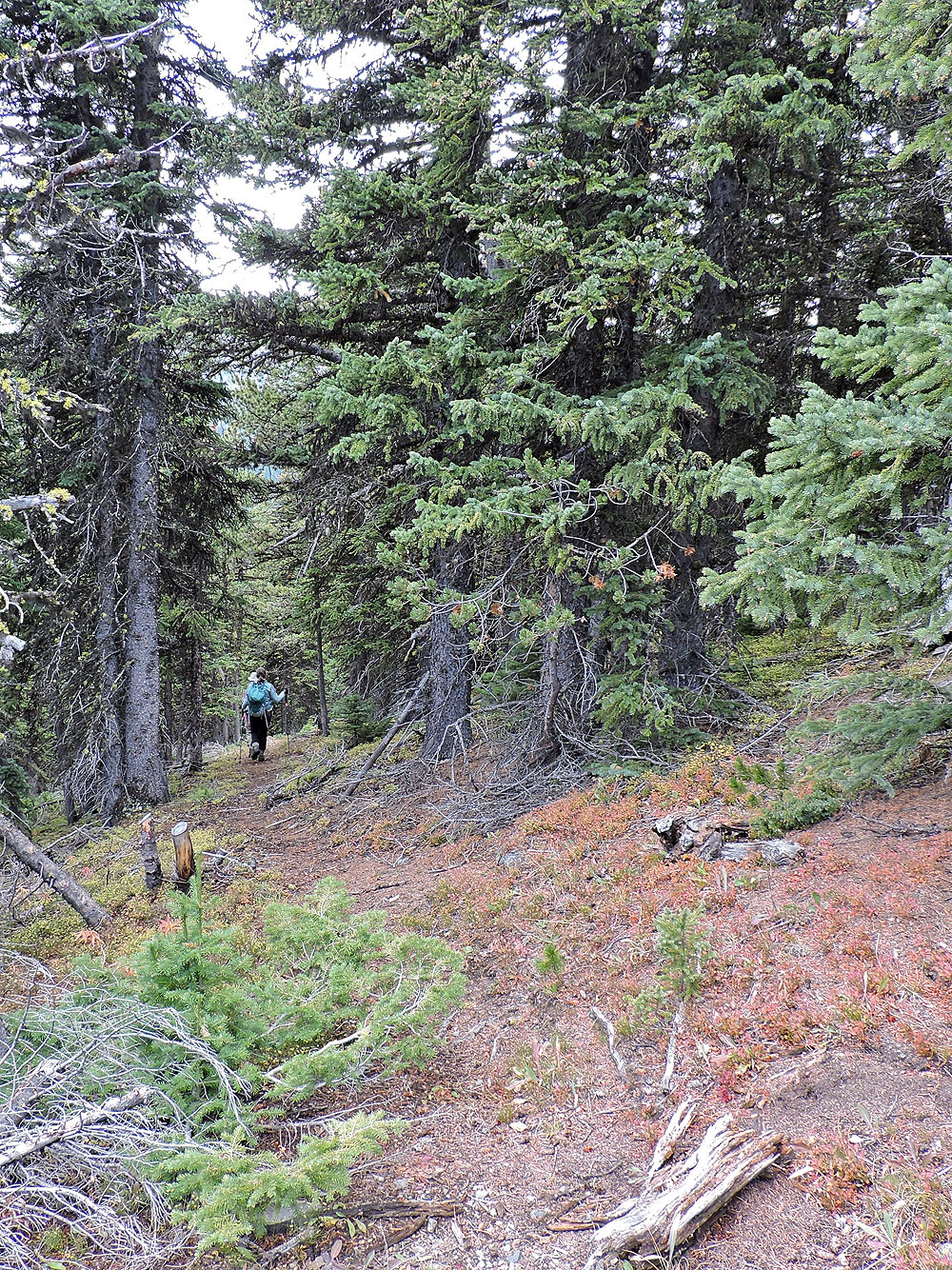
Starting down the trail
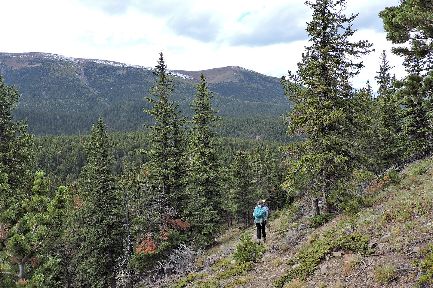
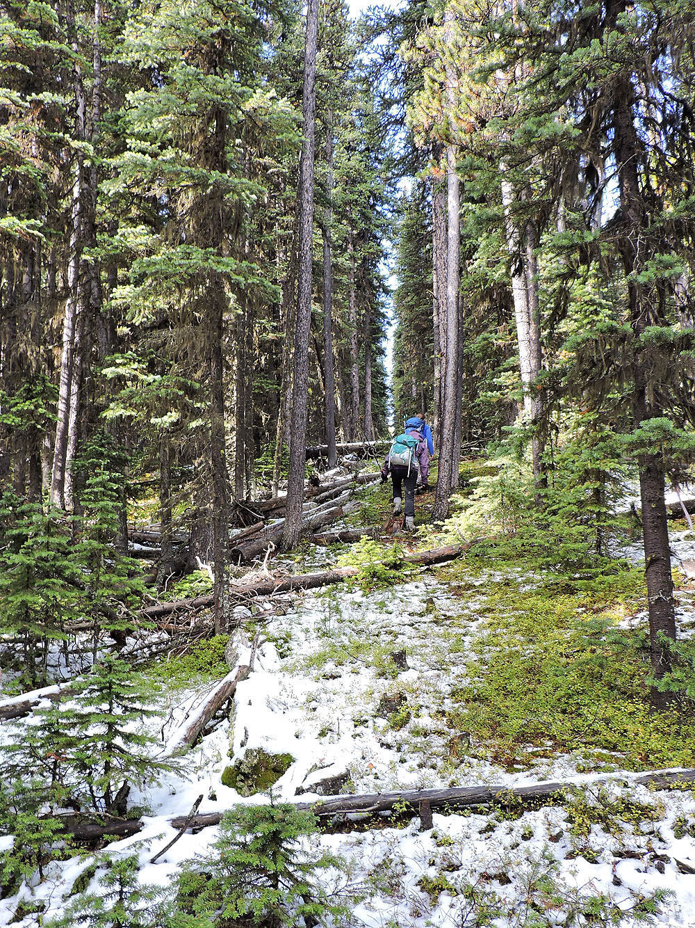
So far so good
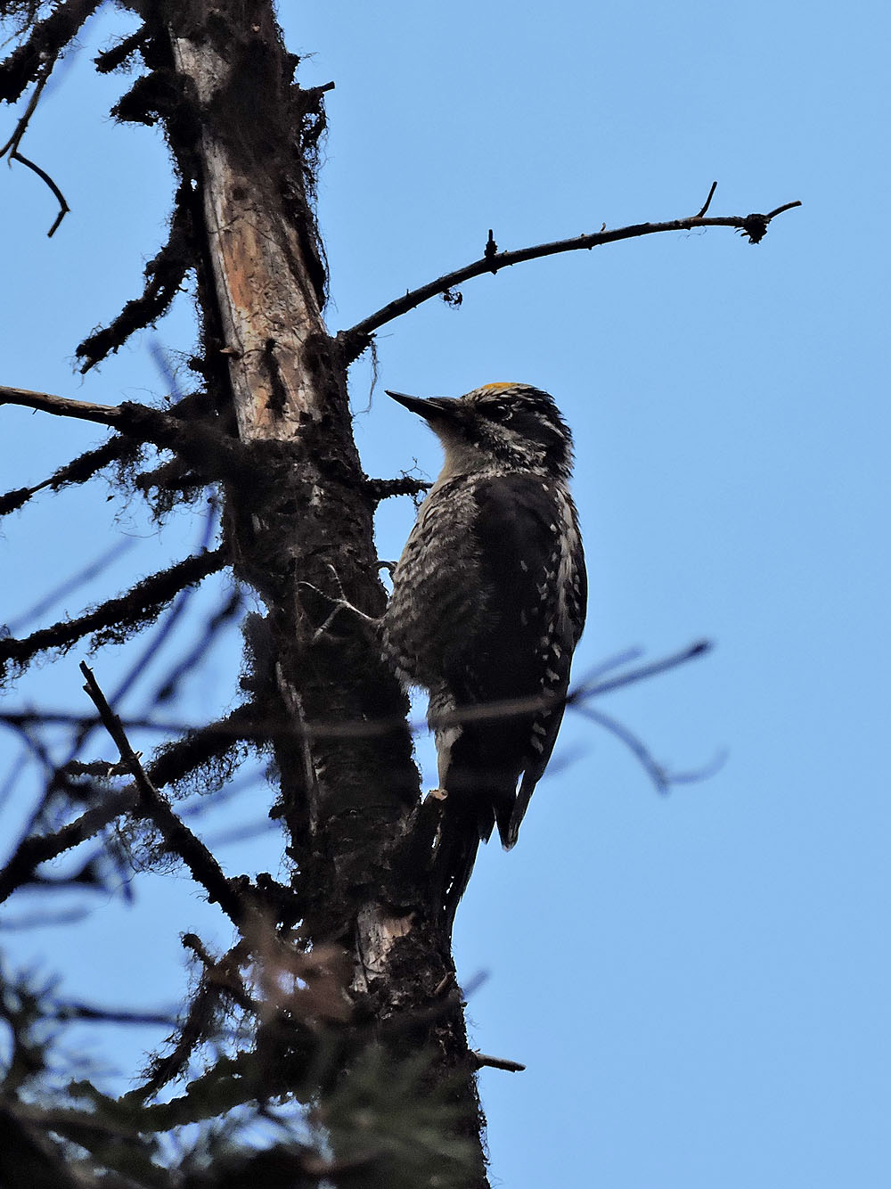
Looks like a downy woodpecker
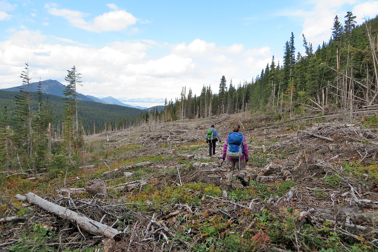
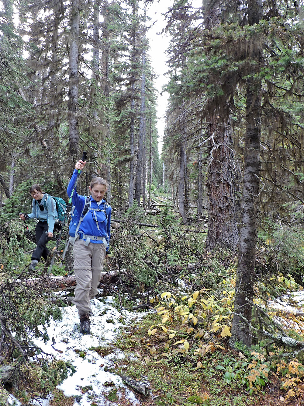
Entering the cutblock
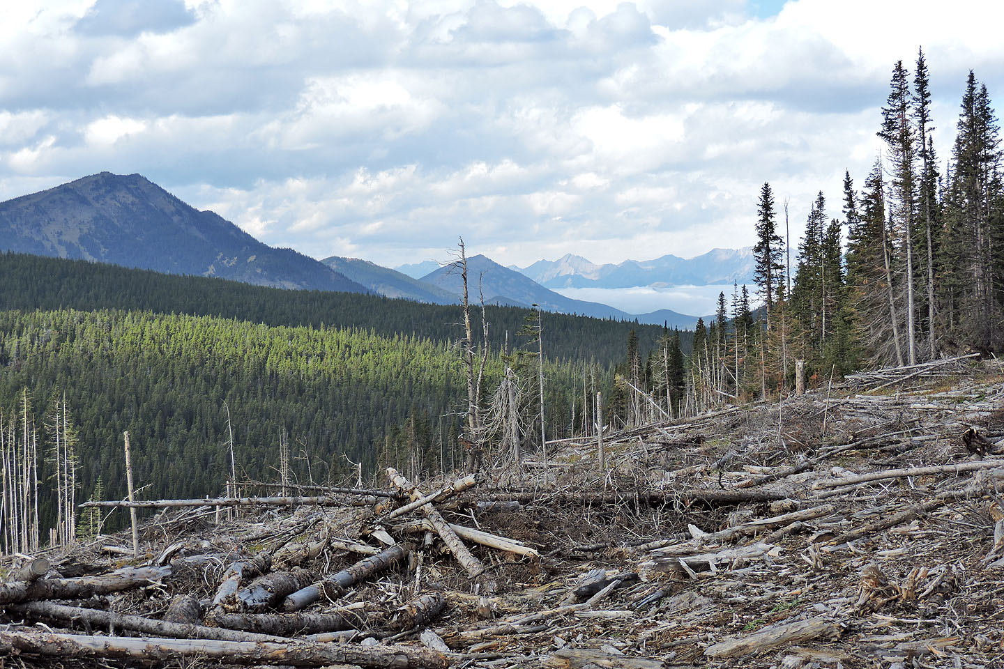
We had to negotiate a lot of crap
This may have been the trail
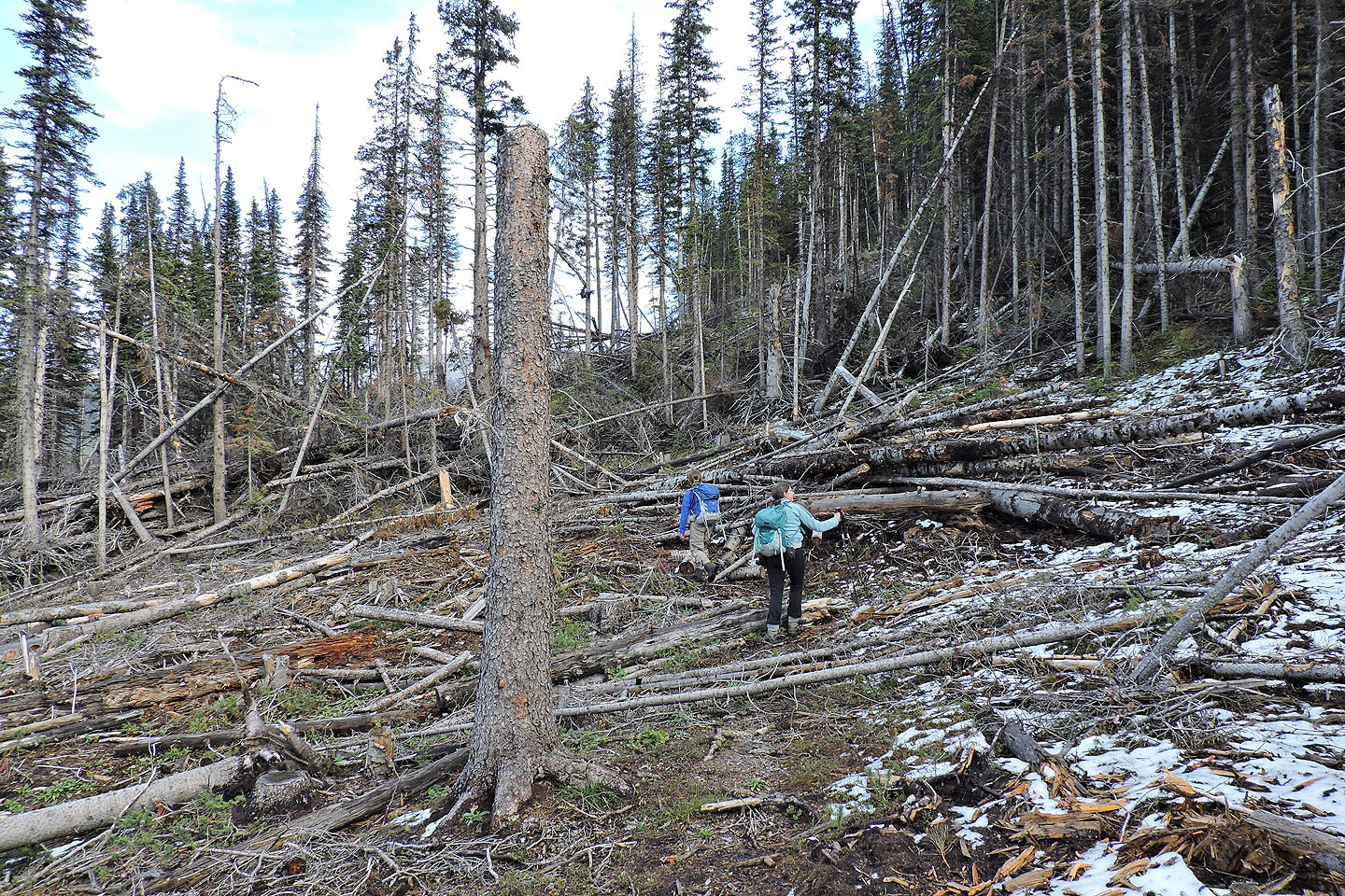
A landslide wiped out the trail ahead
Trying to climb over the mess
Don't know if this flagging marked the trail or not, but soon after we found the trail that took us back to the cutline
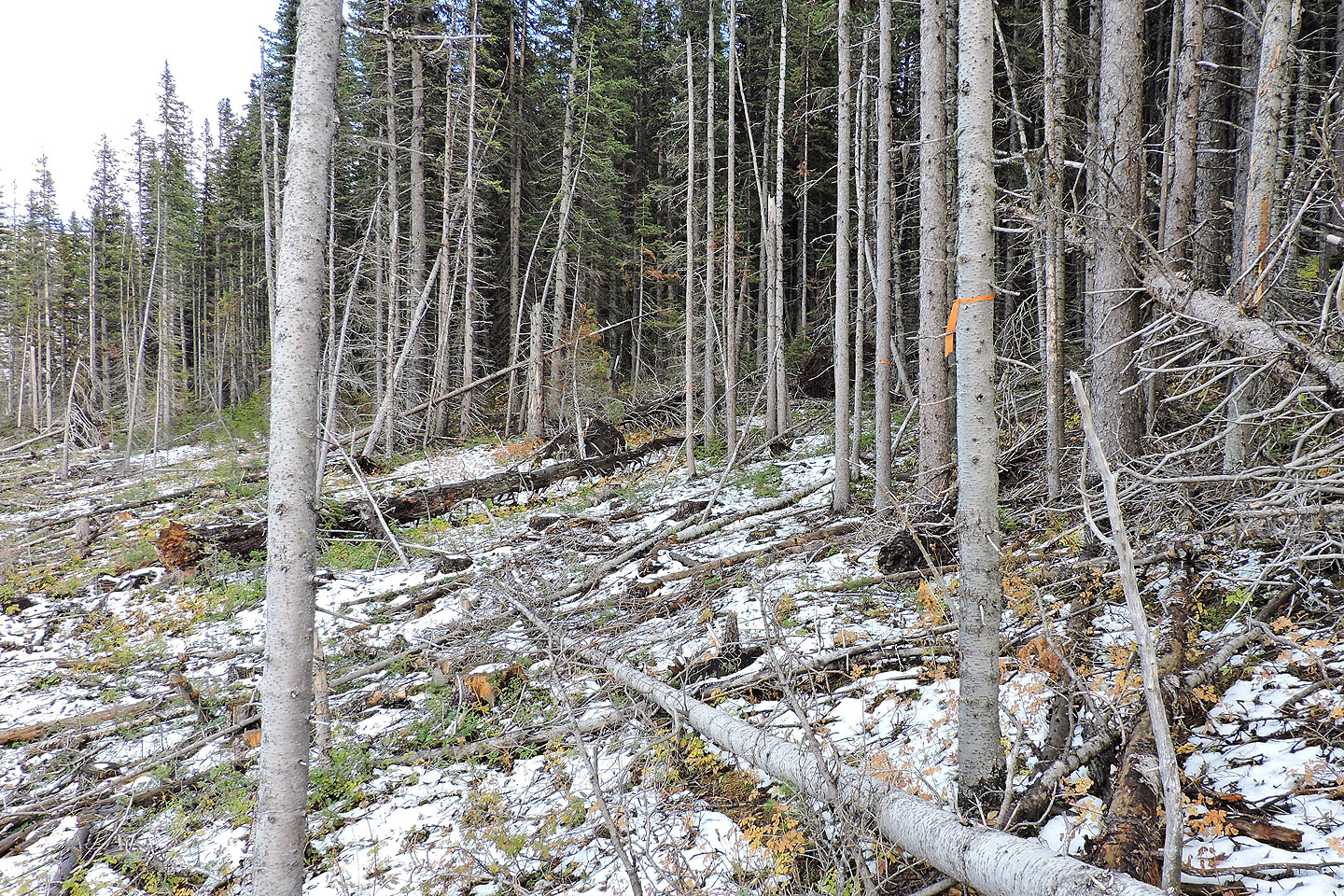
Coming down the cutline shortcut
Back at the road
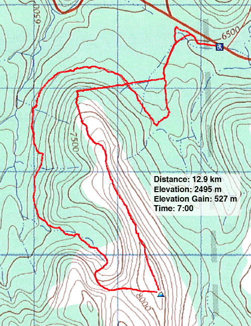
82 J/2 Fording River