bobspirko.ca | Home | Canada Trips | US Trips | Hiking | Snowshoeing | MAP | About
Muleshoe Ridge
Banff National Park, Alberta
June 24, 2018
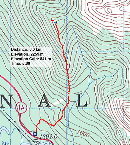
Distance: 6.0 km (3.7 mi)
Cumulative Elevation Gain: 857 m (2812 ft)
Muleshoe Ridge, an outlier west of Mount Cory, takes its unofficial name from Muleshoe Trail. It's a fine trail at the beginning, running up spacious meadows that provide sweeping vistas of Bow Valley, but about three-quarters of the way up, the trail disappears in a tangle of deadfall. Persevere through this mess of rampikes, and you'll reach a summit cloaked in trees, but views can be found a short distance away.
Christine, Zora and I parked at the Muleshoe Trail parking lot, crossed Highway 1A, and started up the trail. After passing through a stand of aspens, the trail takes a sharp right followed by a sharp left. After that, it runs up the south ridge, mostly in an unrelenting steep climb.
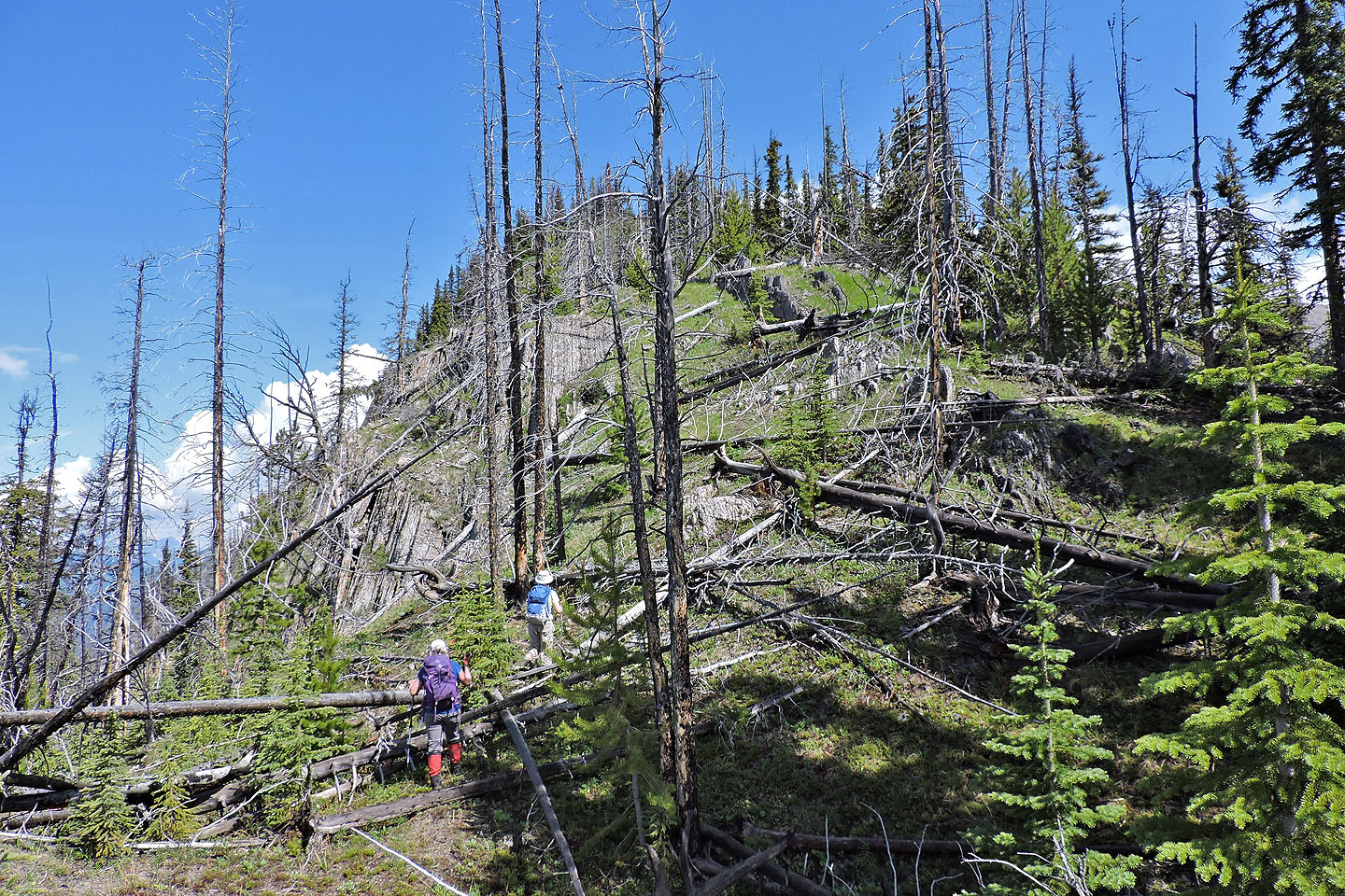
After the trail hit deadfall and vanished, we had to find our own way up the ridge. When we encountered piles of dead trees, we usually found it better to go right, staying below the crest, sometimes on a brief trail. Other times, we had to stick to the crest and climb over logs.
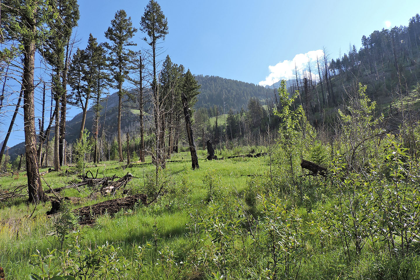
Since I was last here in 2004, the years haven't been kind to Muleshoe Ridge; there is much more deadfall. At one point I noticed the old trail buried under a pile of logs. At another spot I saw fresh trees, still green, had fallen. Apparently the deterioration of the upper ridge is an ongoing process.
Despite the travail, we reached the top. Evergreens completely blocked summit views, so we dropped down the west side to an open bench. Here the far-ranging views seemed to make our dead-tree-bashing efforts worthwhile. But that may not be the case in the future if trees continue to topple on Muleshoe Ridge.
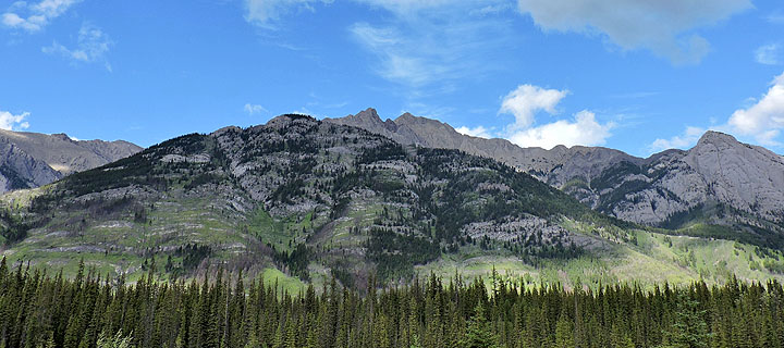
Muleshoe Ridge from Highway 1. The ascent starts on the right.
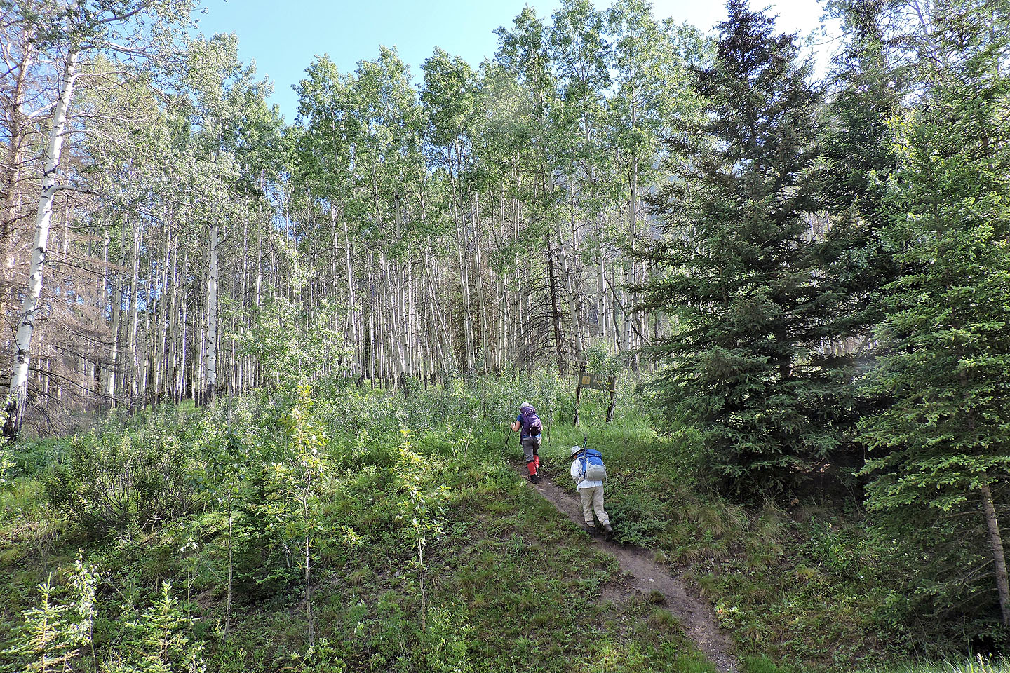
Starting up the trail
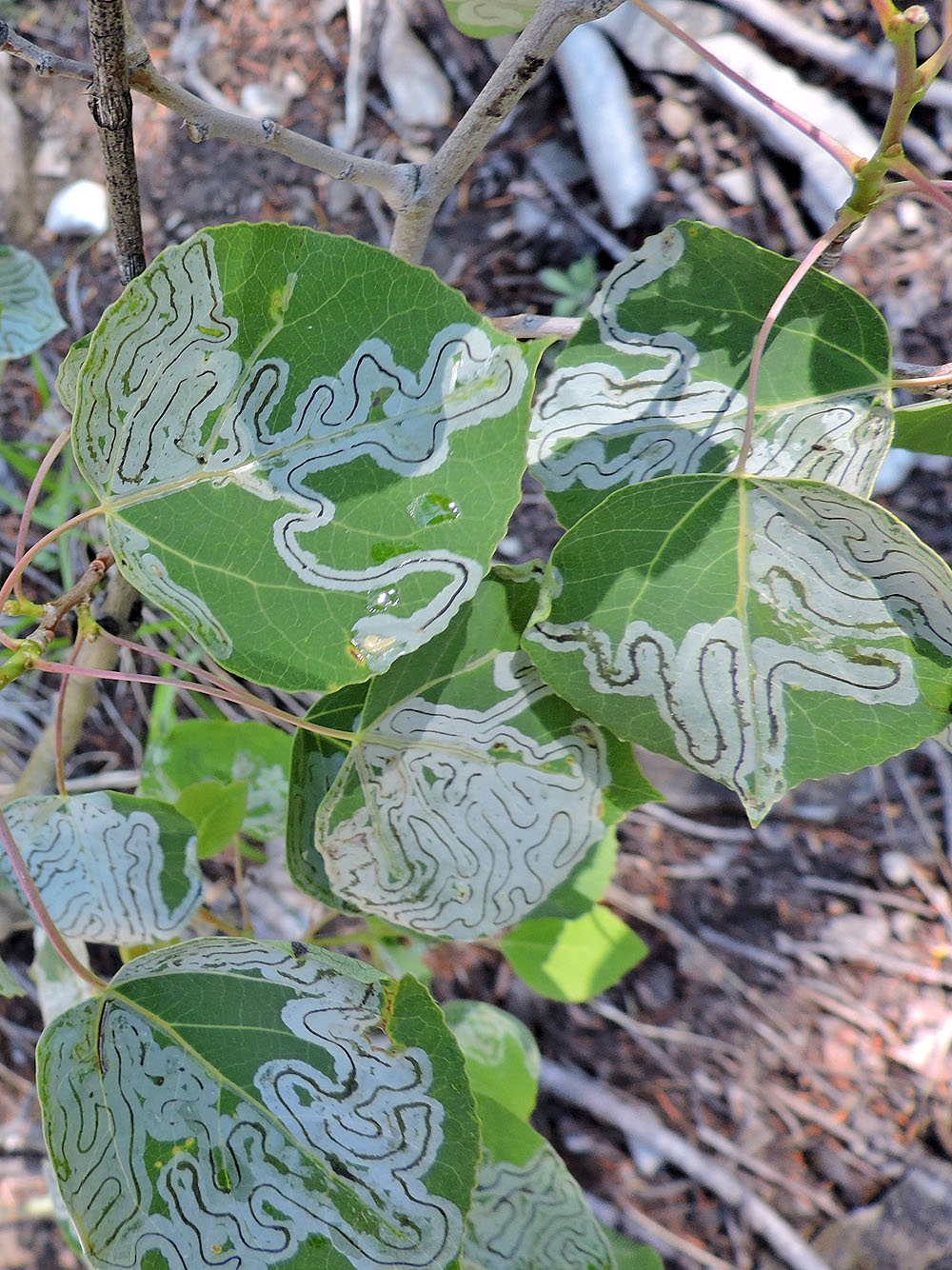
Leaf miners, a type of insect, left interesting patterns
To reach the ridge ahead, the trail turns right here
After gaining the ridge, the trail starts climbing
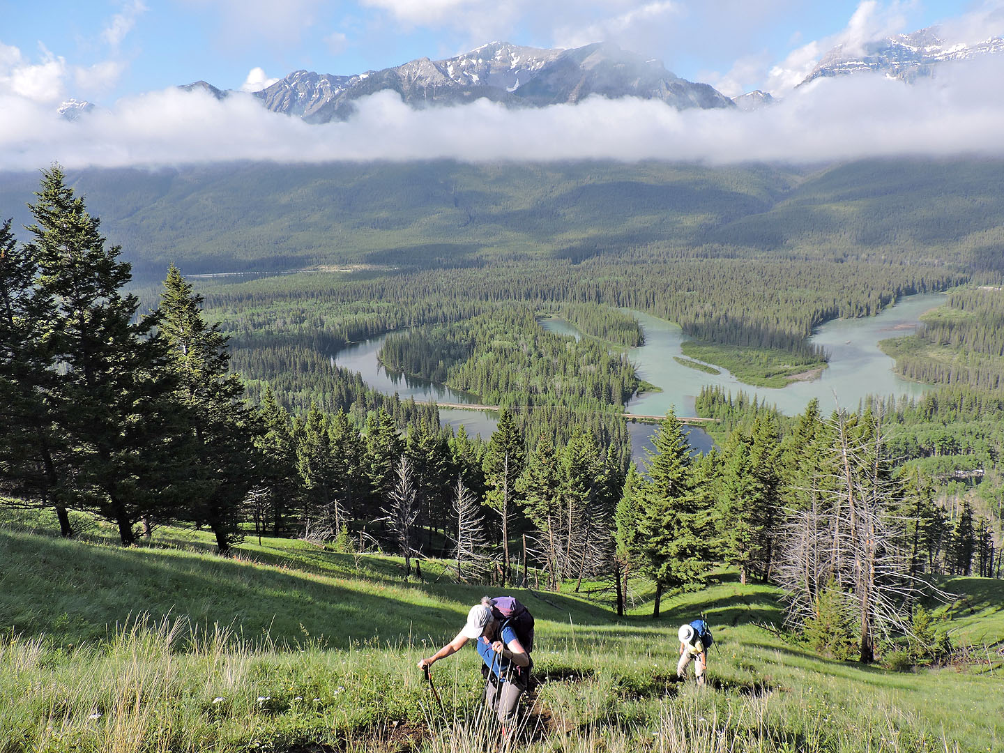
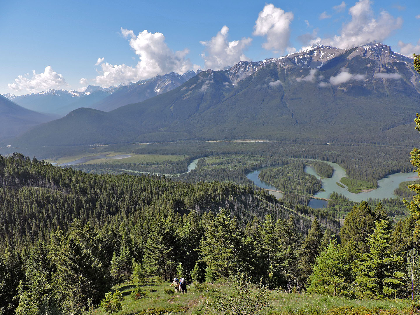
The Bow River meanders below
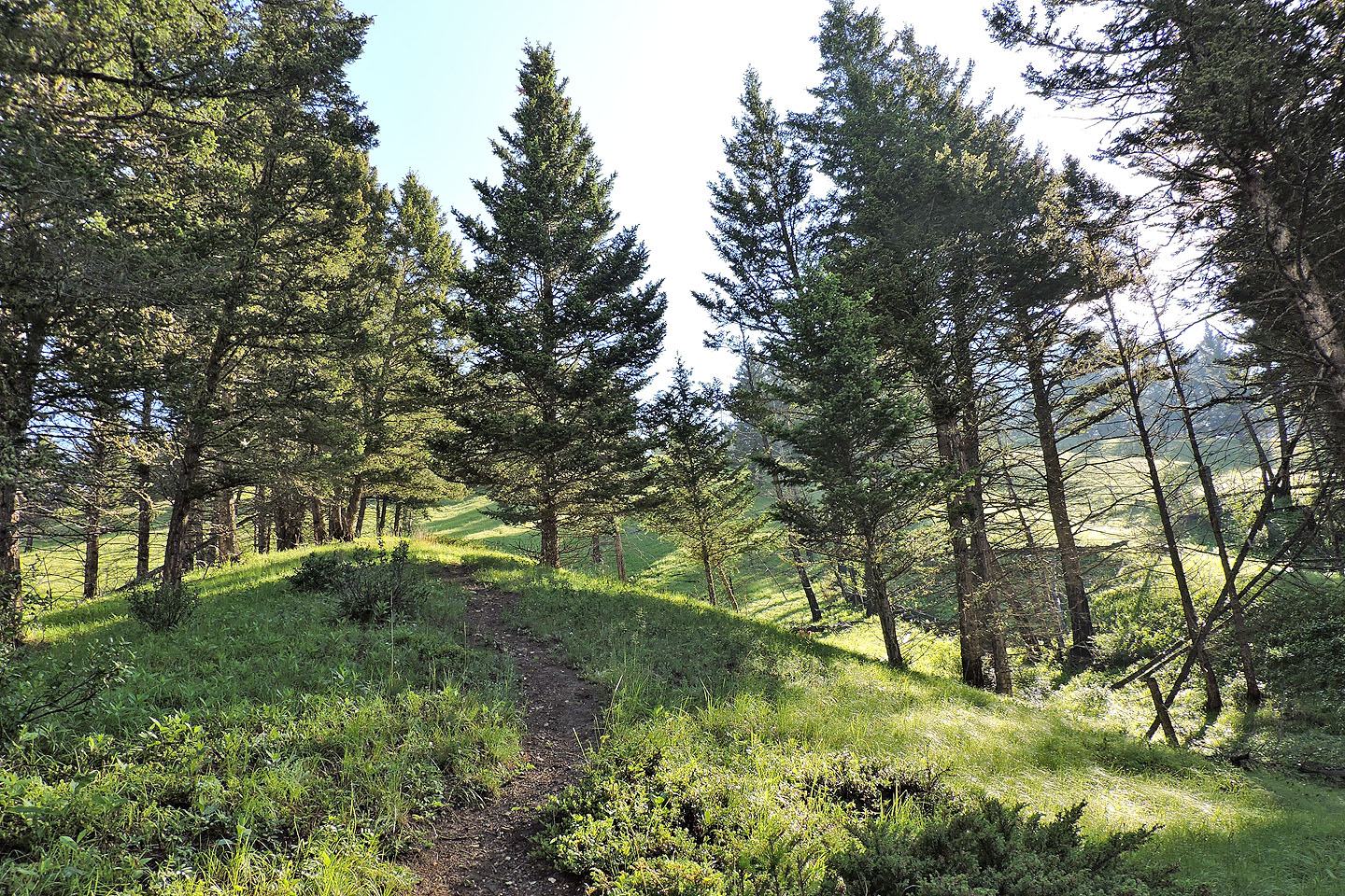
The grade eases on this pleasant stretch
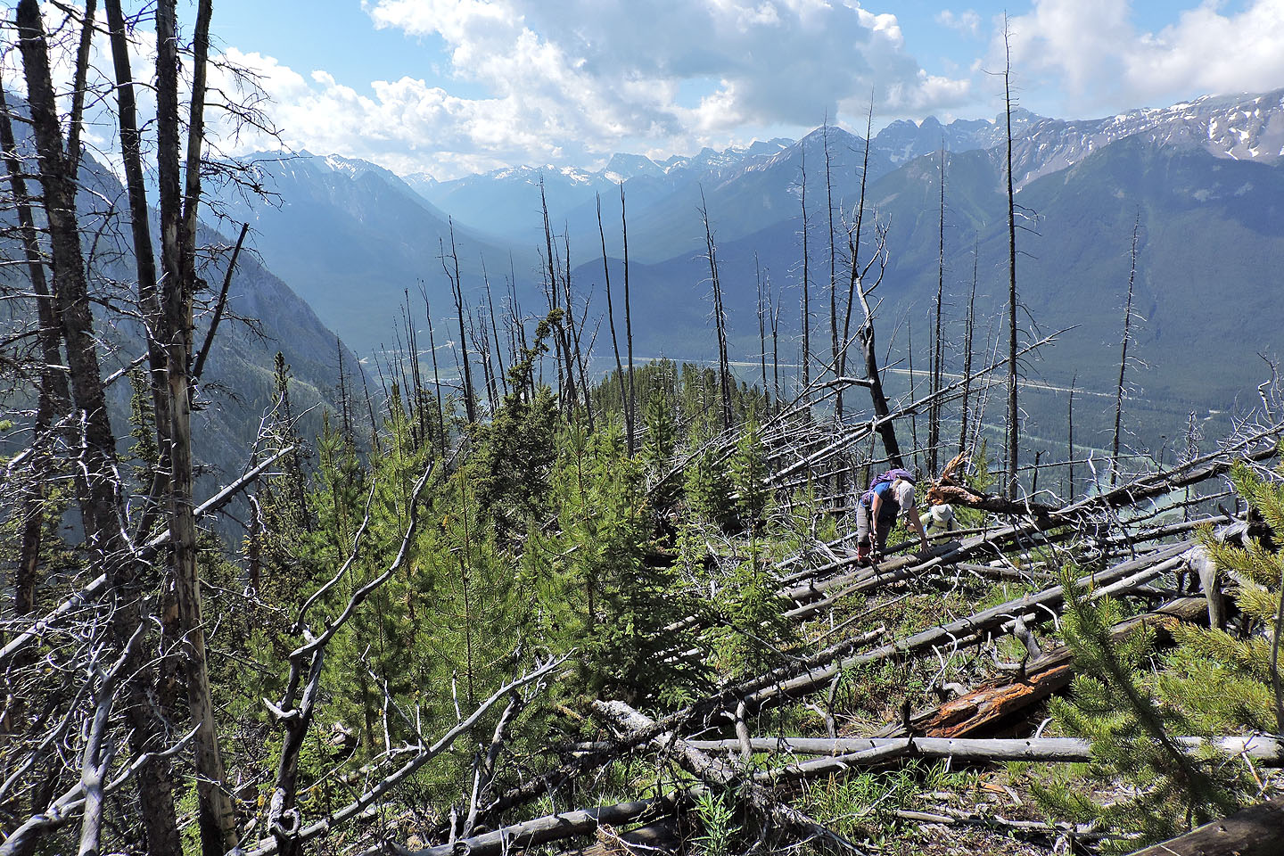
We're well above Bow Valley now
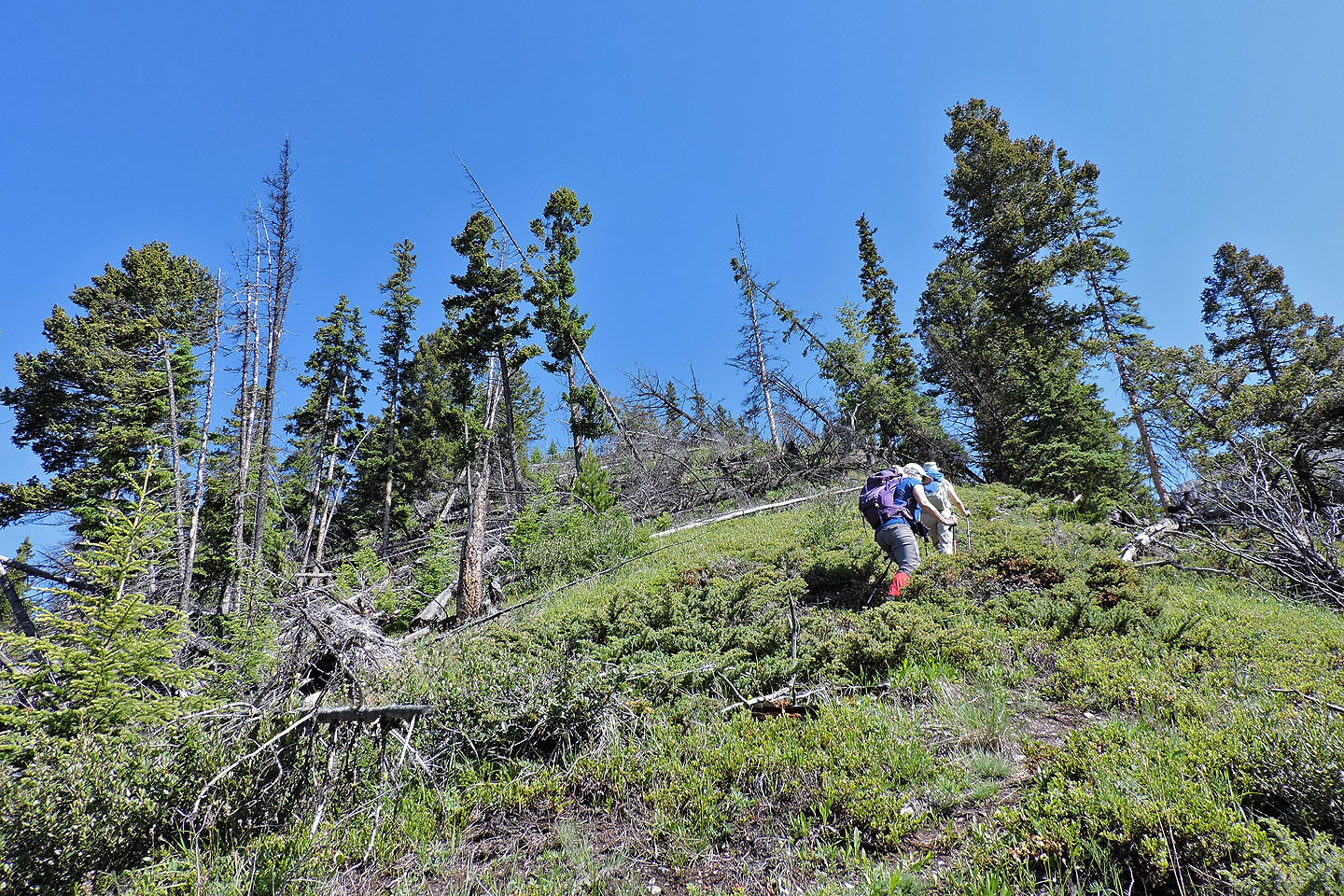
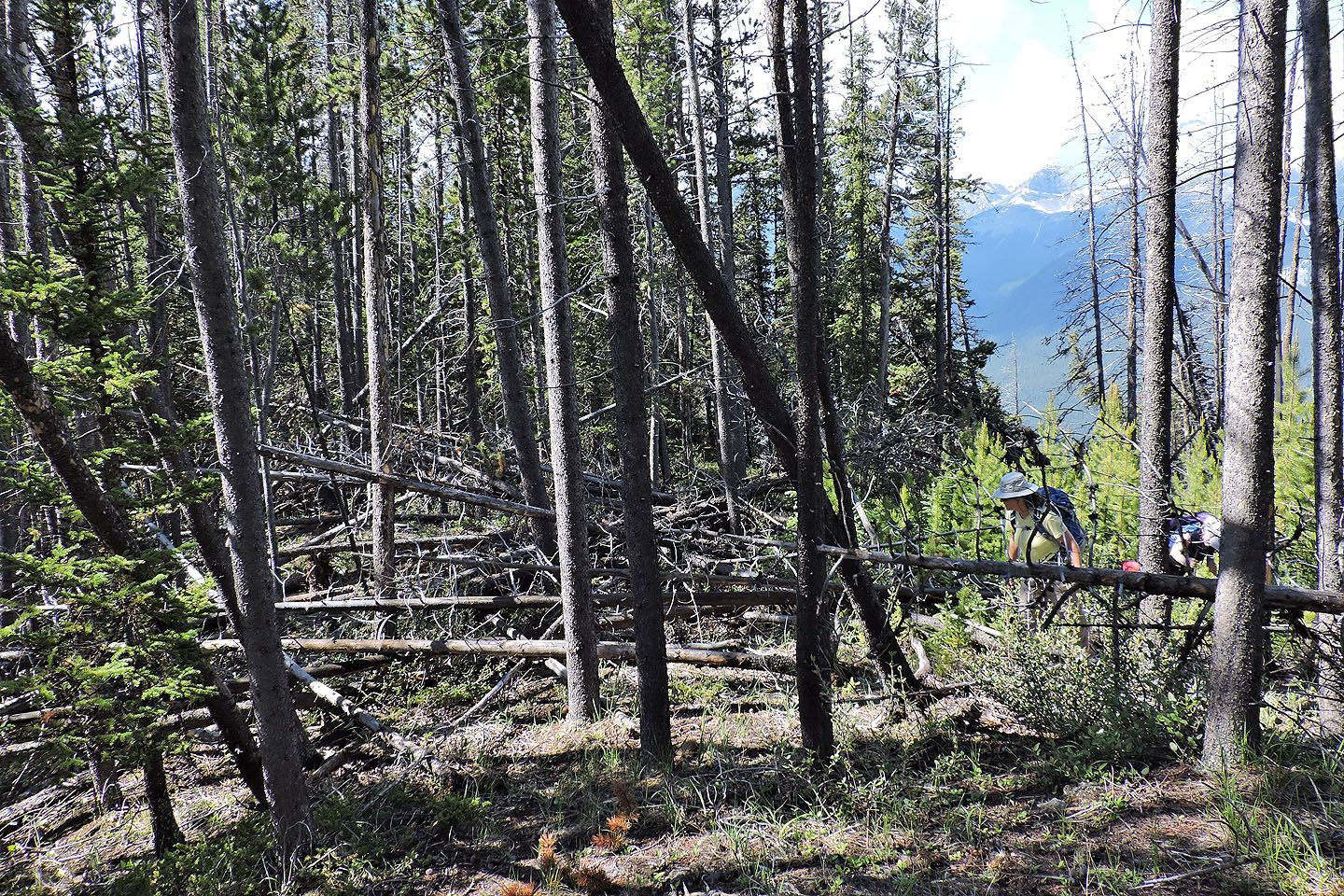
We began to encounter deadfall
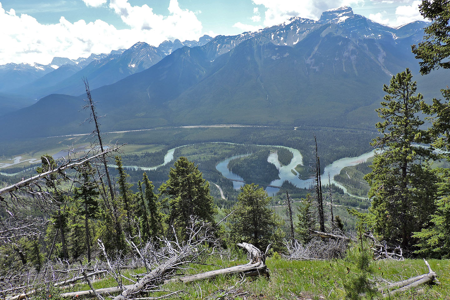
Apparently Muleshoe Trail derives its name from the oxbow below
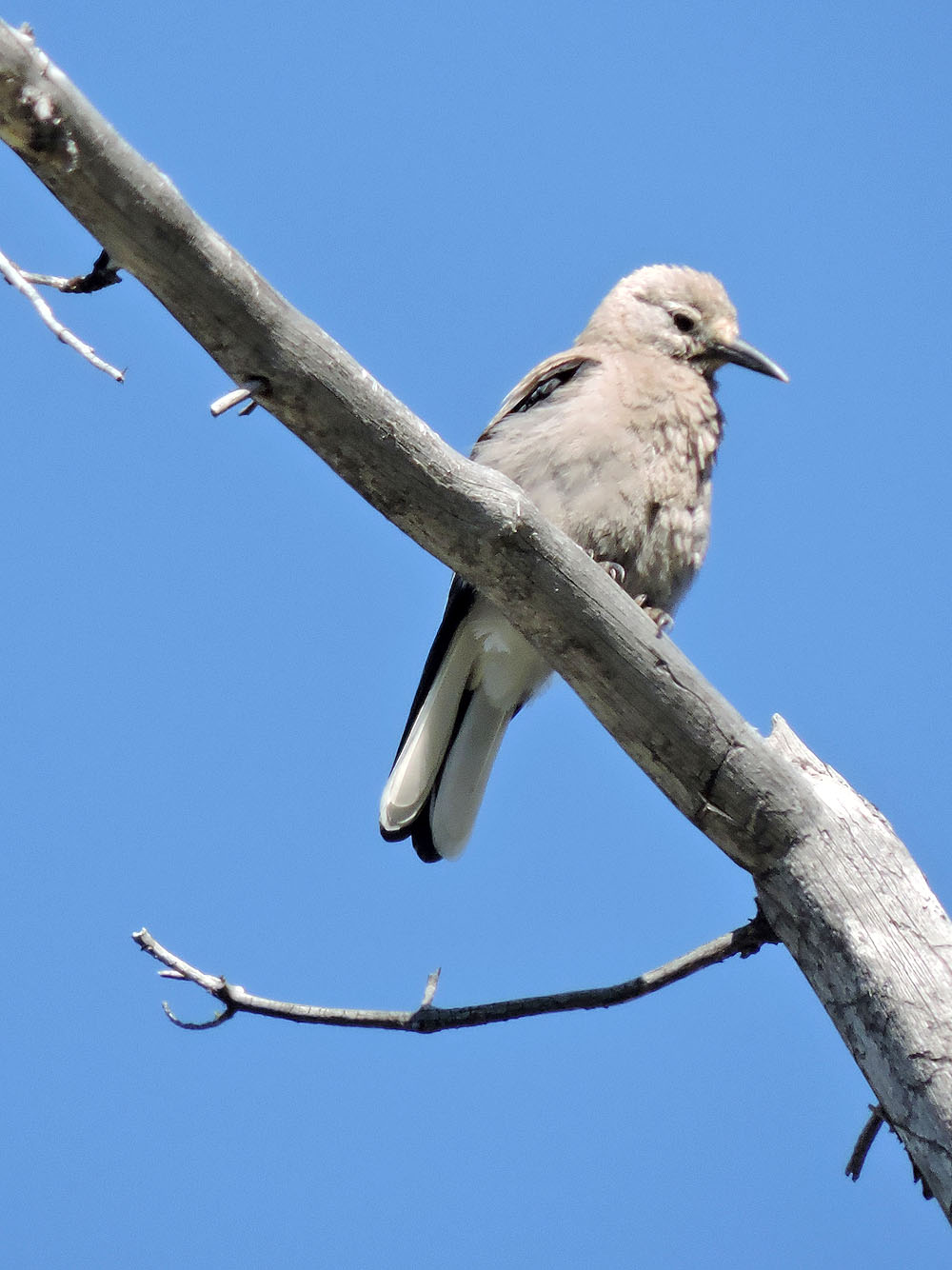
Clark's nutcracker
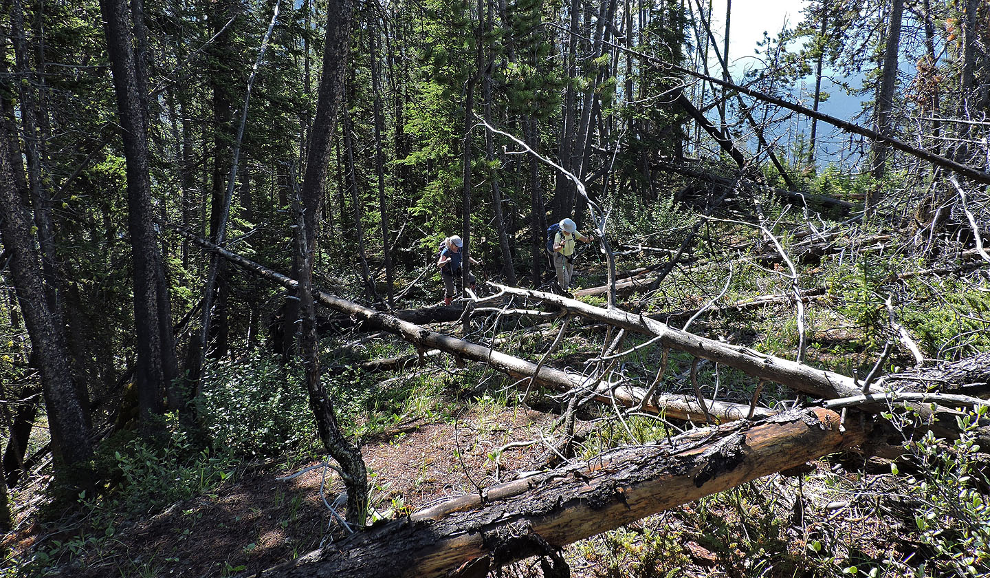
Toppled trees were strewn along the ridge
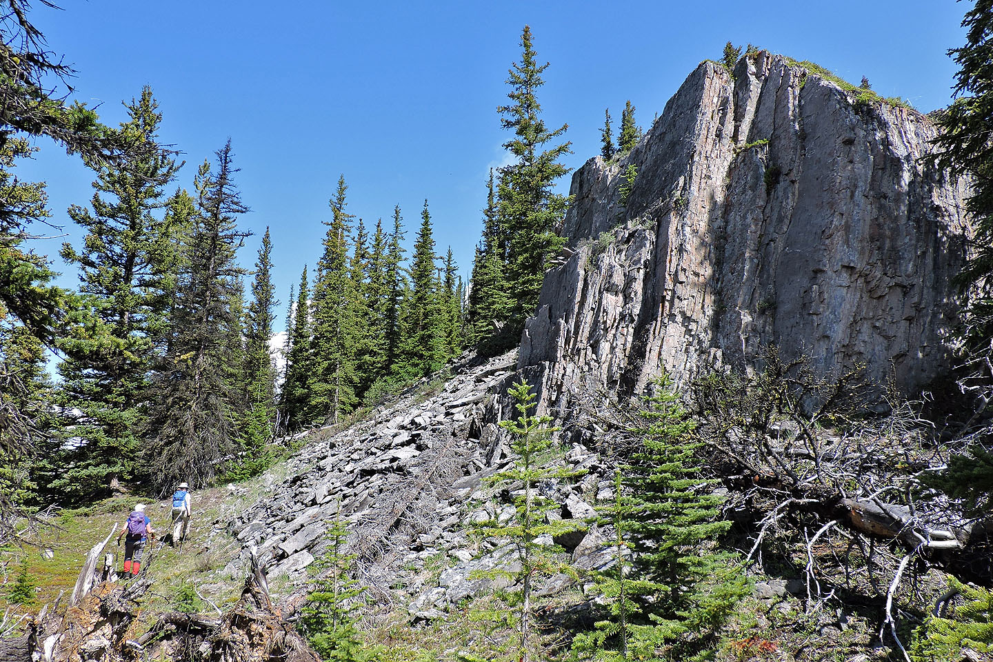
Some sections of the ridge were impossible to cross and we had to go around
The worse areas can usually be avoided by going right
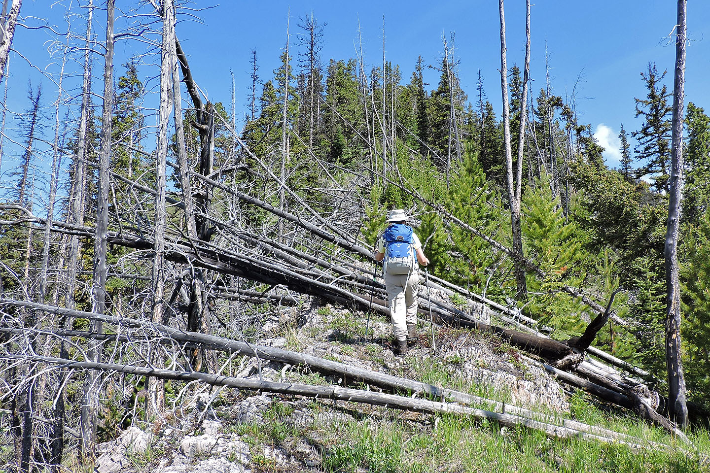
Even so, climbing over logs was unavoidable in some places
More deadfall
The summit is less than 100 m from this outcrop
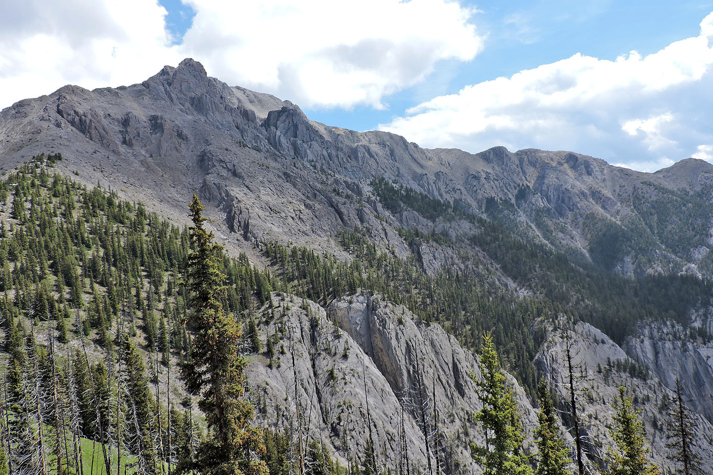
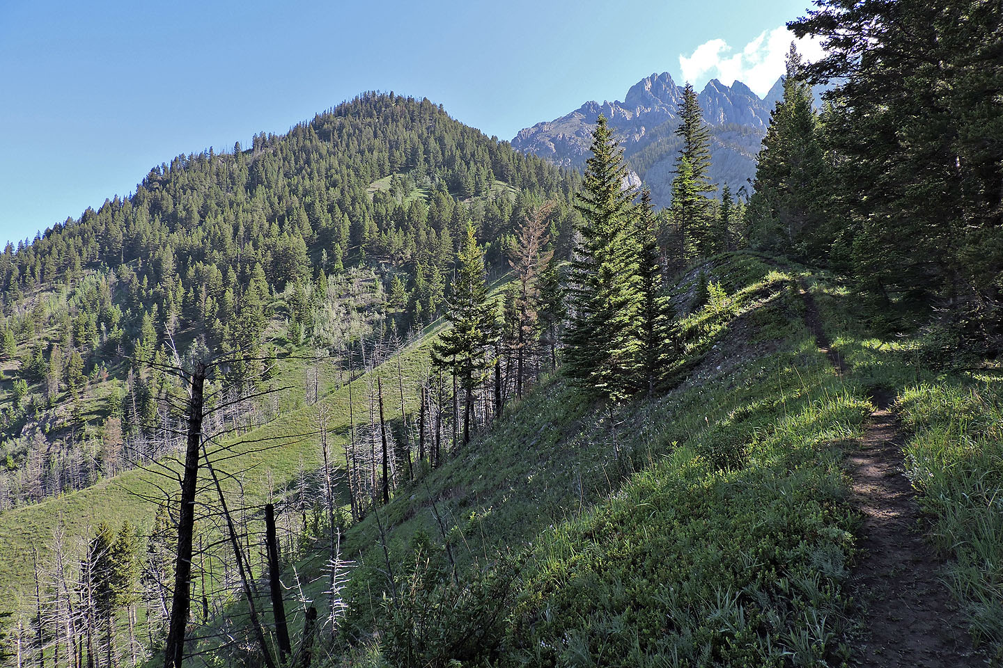
Mount Cory appears well in the background
In the fall of 2004 Dinah and I dropped down to the col and climbed a short way up Cory
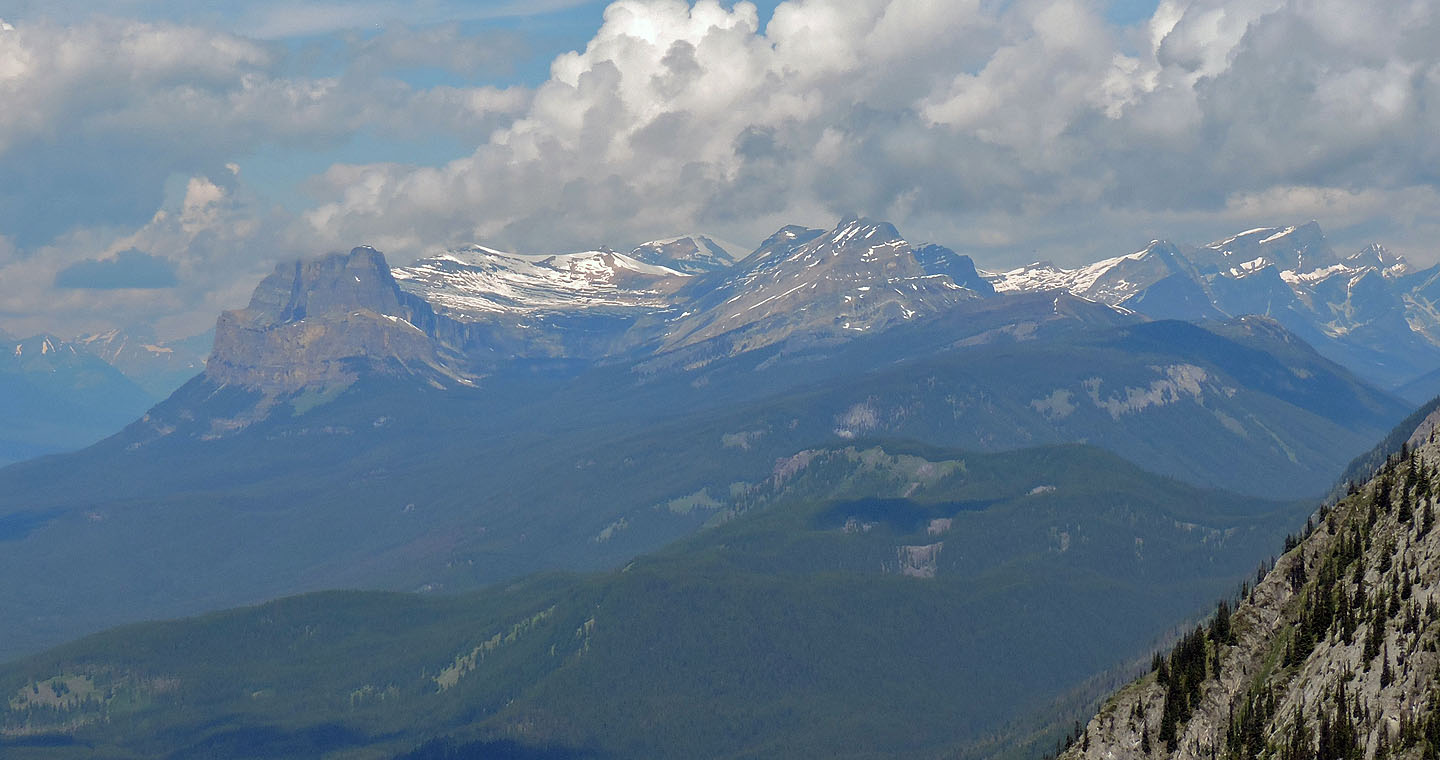
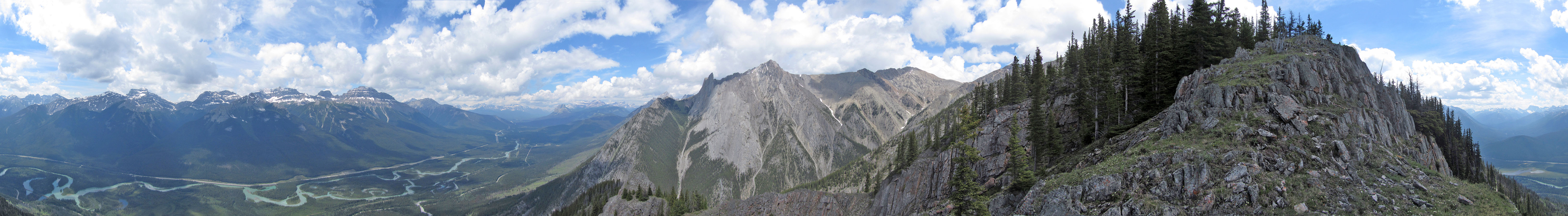
Castle Mountain, Stuart Knob, Television Peak and Helena Ridge lie northwest
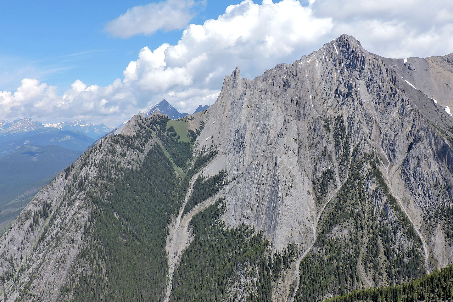
Nearby is The Finger (centre)
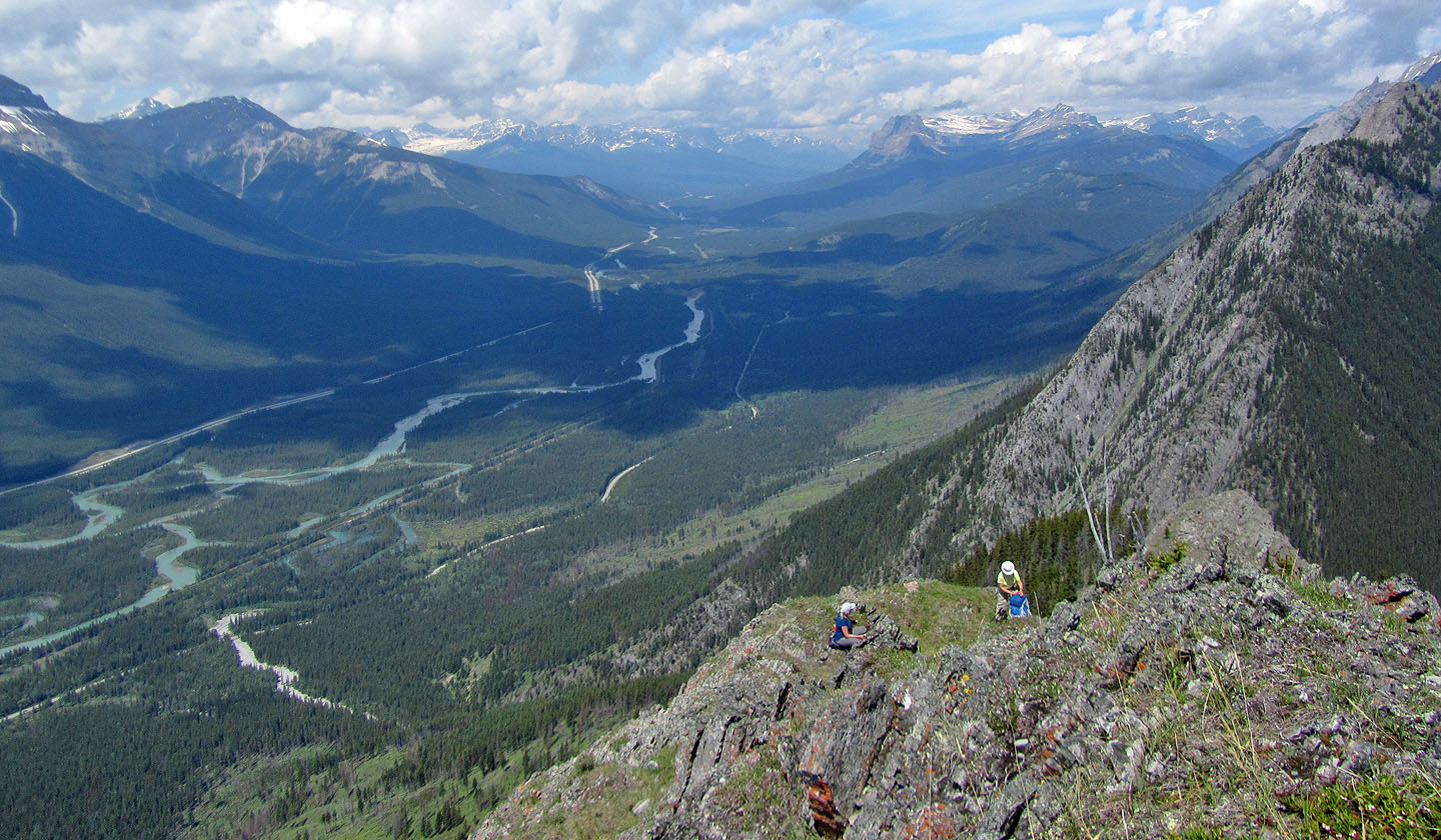
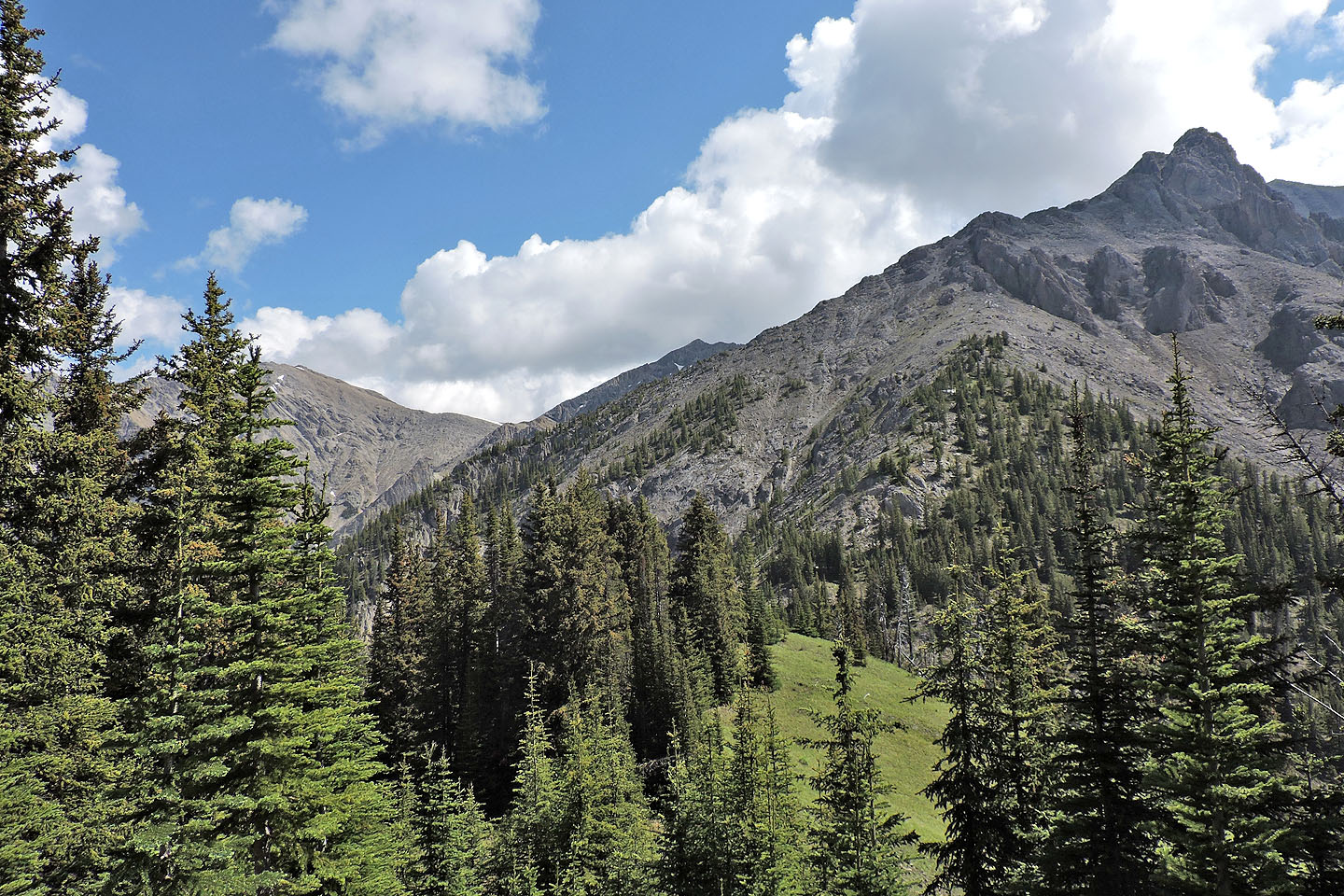
Since the summit is treed, we hiked west a short distance and took a break on an open bench
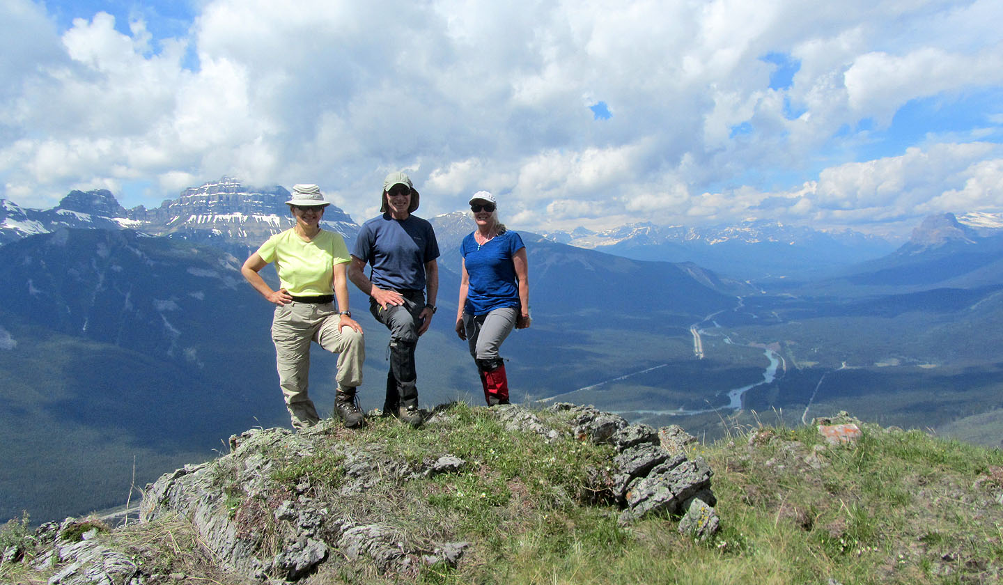
Posing near the summit of Muleshoe
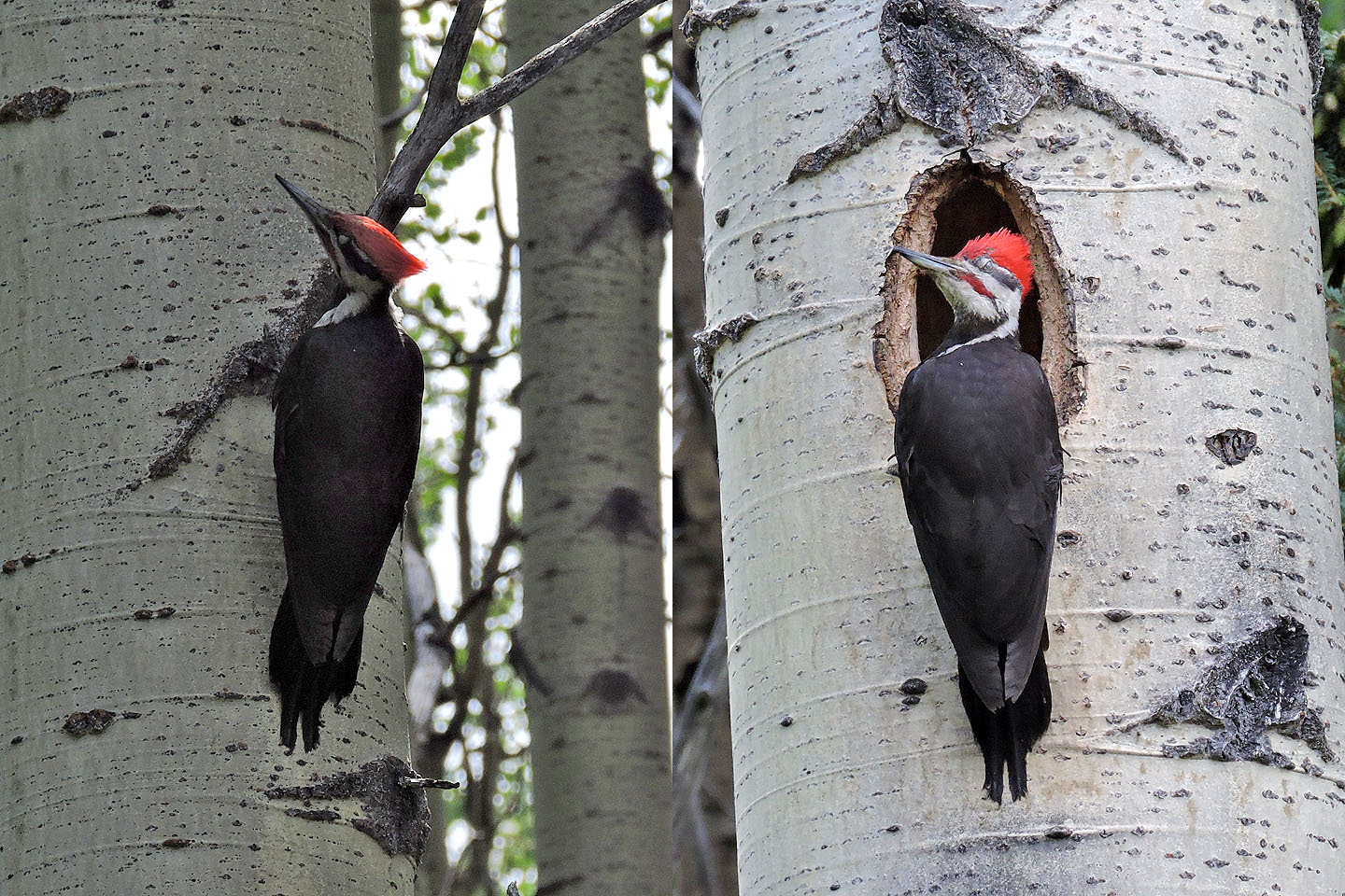
Back at the parking lot, chirping drew my attention to this pair of pileated
woodpeckers. The male waited on an adjacent tree while the female fed her chicks. Both flew away when she was done.
82 O/4
Banff