bobspirko.ca | Home | Canada Trips | US Trips | Hiking | Snowshoeing | MAP | About
Running Rain Lake North Ridge
Kananaskis Country, Alberta
September 26, 2021
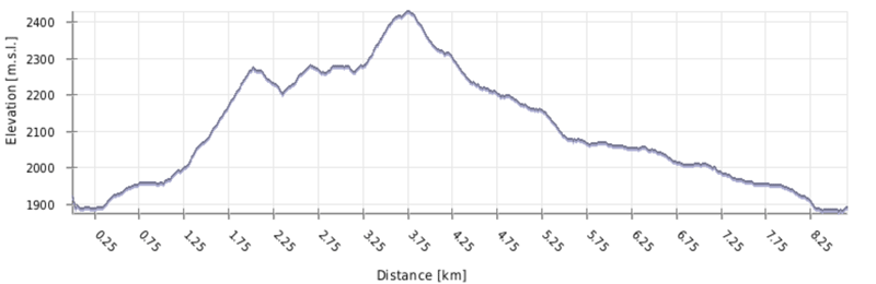
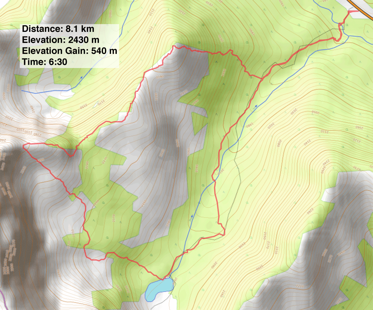
Distance: 8.1 km (5.0 mi)
Cumulative Elevation Gain: 644 m (2113 ft)
After hiking Running Rain Lake South Ridge last year, I heard from Alf Skrastins who suggested I climb Running Rain Lake North Ridge. He recommended a loop that traverses the ridge east to west to a rocky point before dropping down to the lake and returning on Running Rain Lake trail. It would include routefinding and bushwhacking, but rudimentary trails would ease our passage. I'm grateful for his suggestion as the North Ridge turned out to be a superb hike with views far surpassing those on the South Ridge. On this fall adventure, Dinah and I were glad Sonny and Zosia could join us.
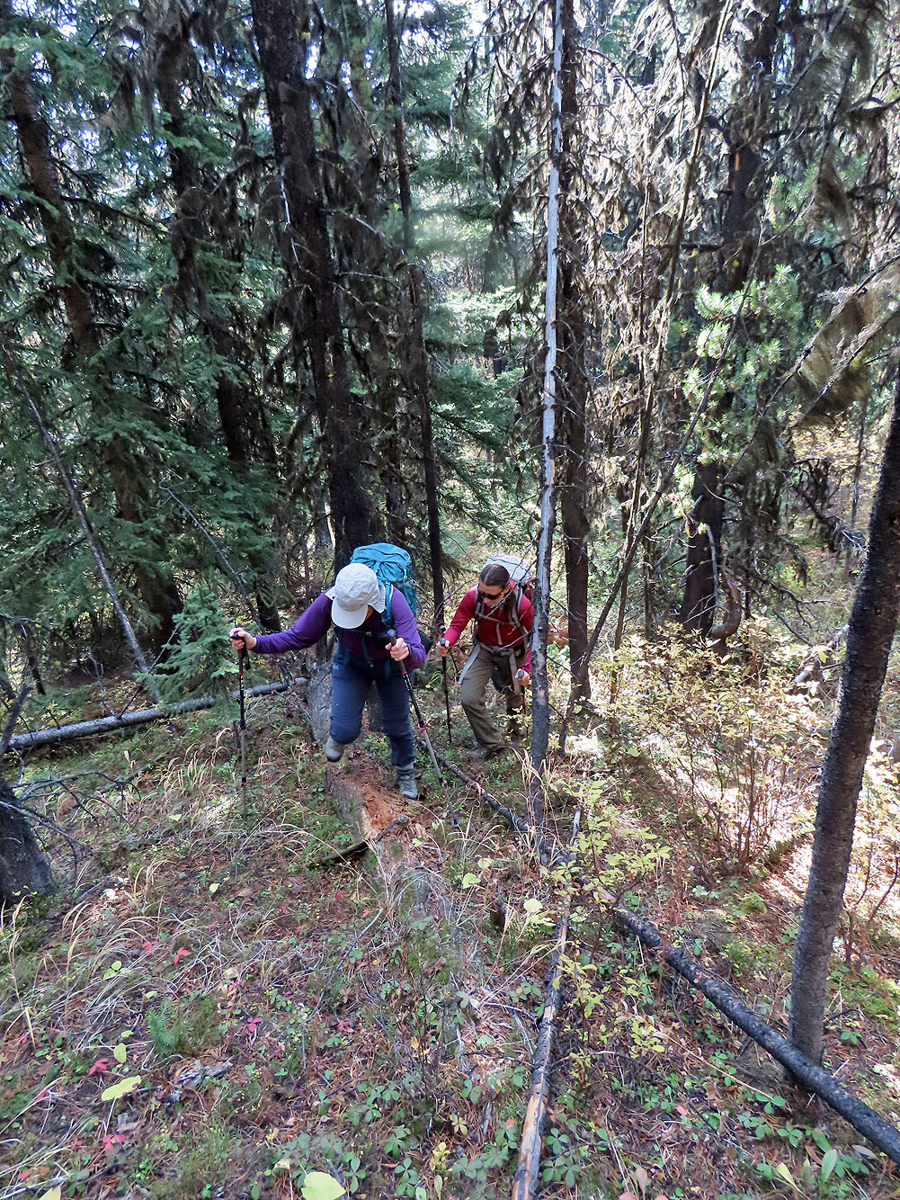
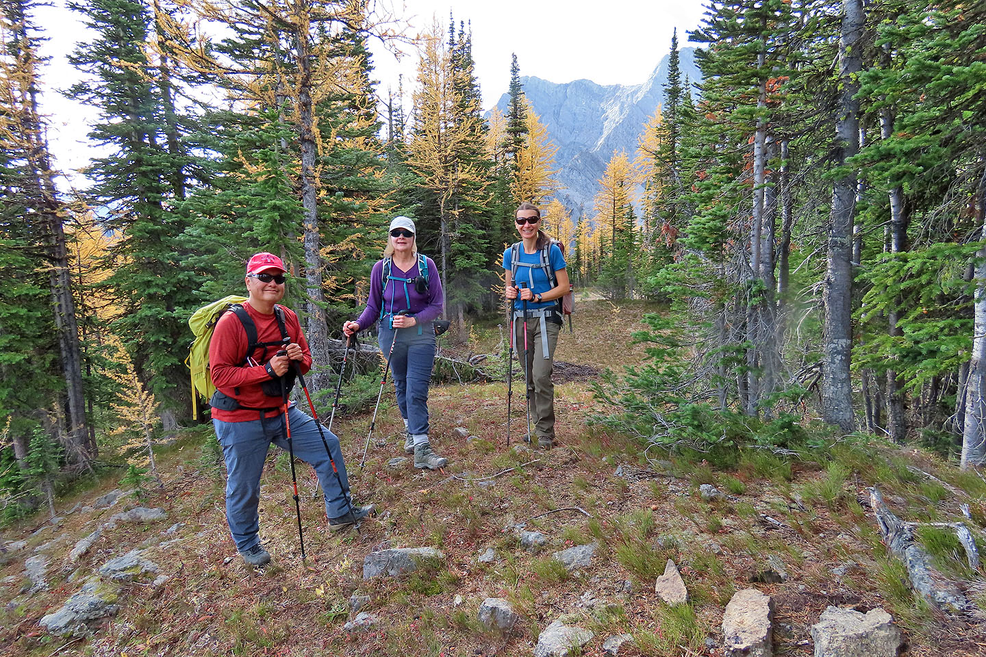
We parked at the trailhead, forded Storm Creek and started up the trail. After hiking a kilometre, we left the trail and started up the slope. Bushy at first, the understudy soon thinned, and we easily passed through the forest, sometimes aided by animal trails.
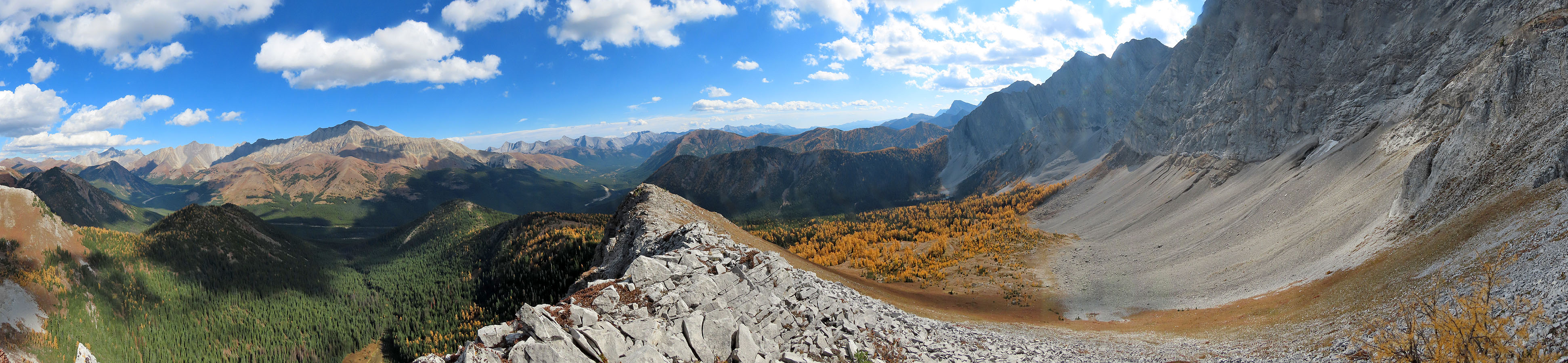
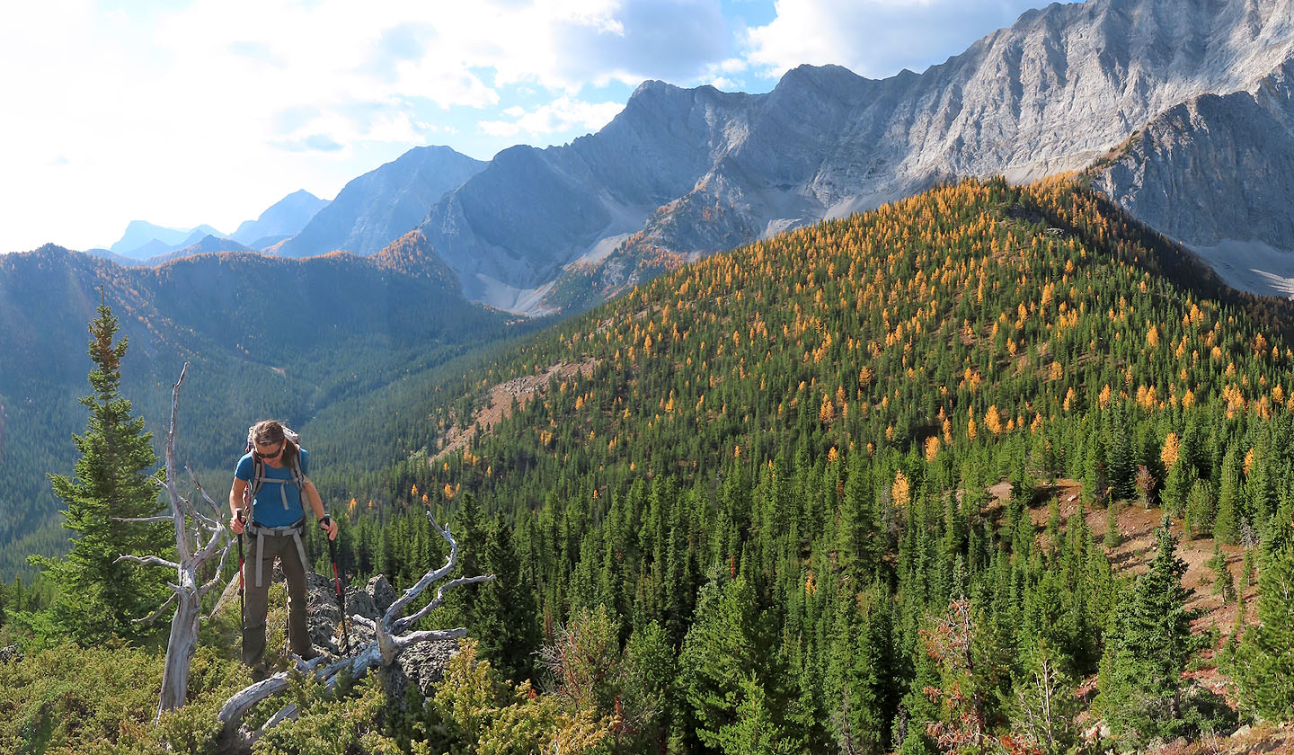
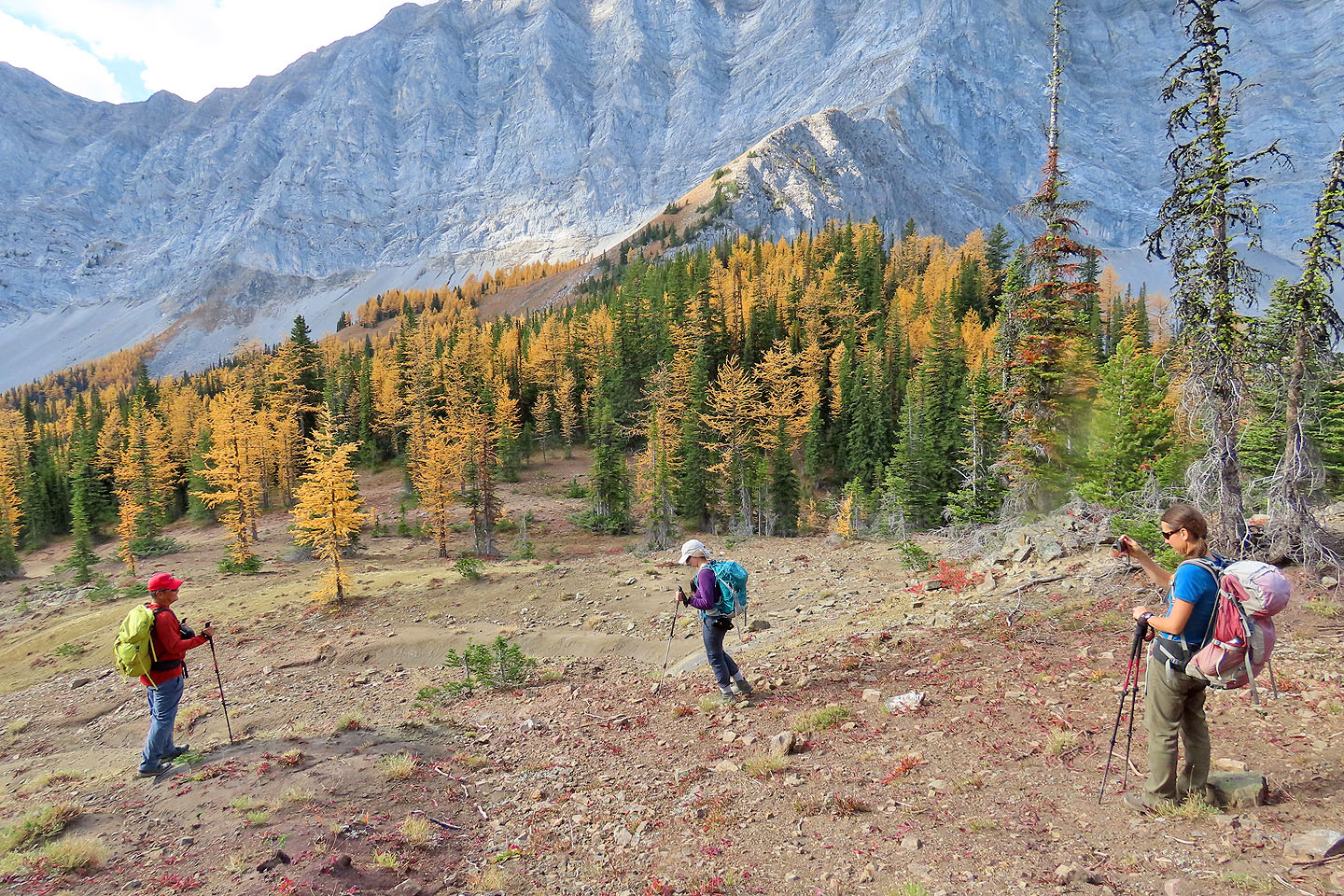
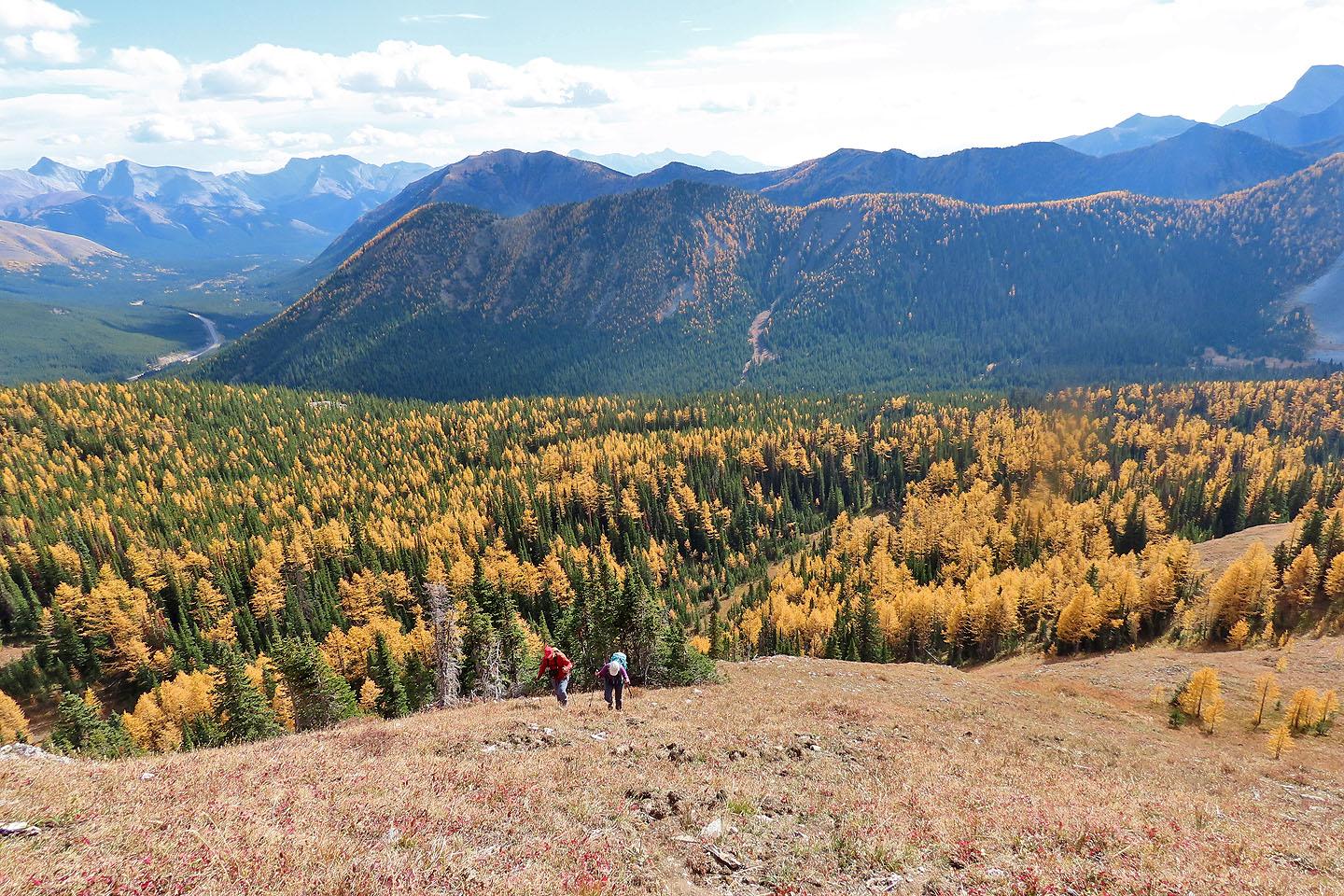
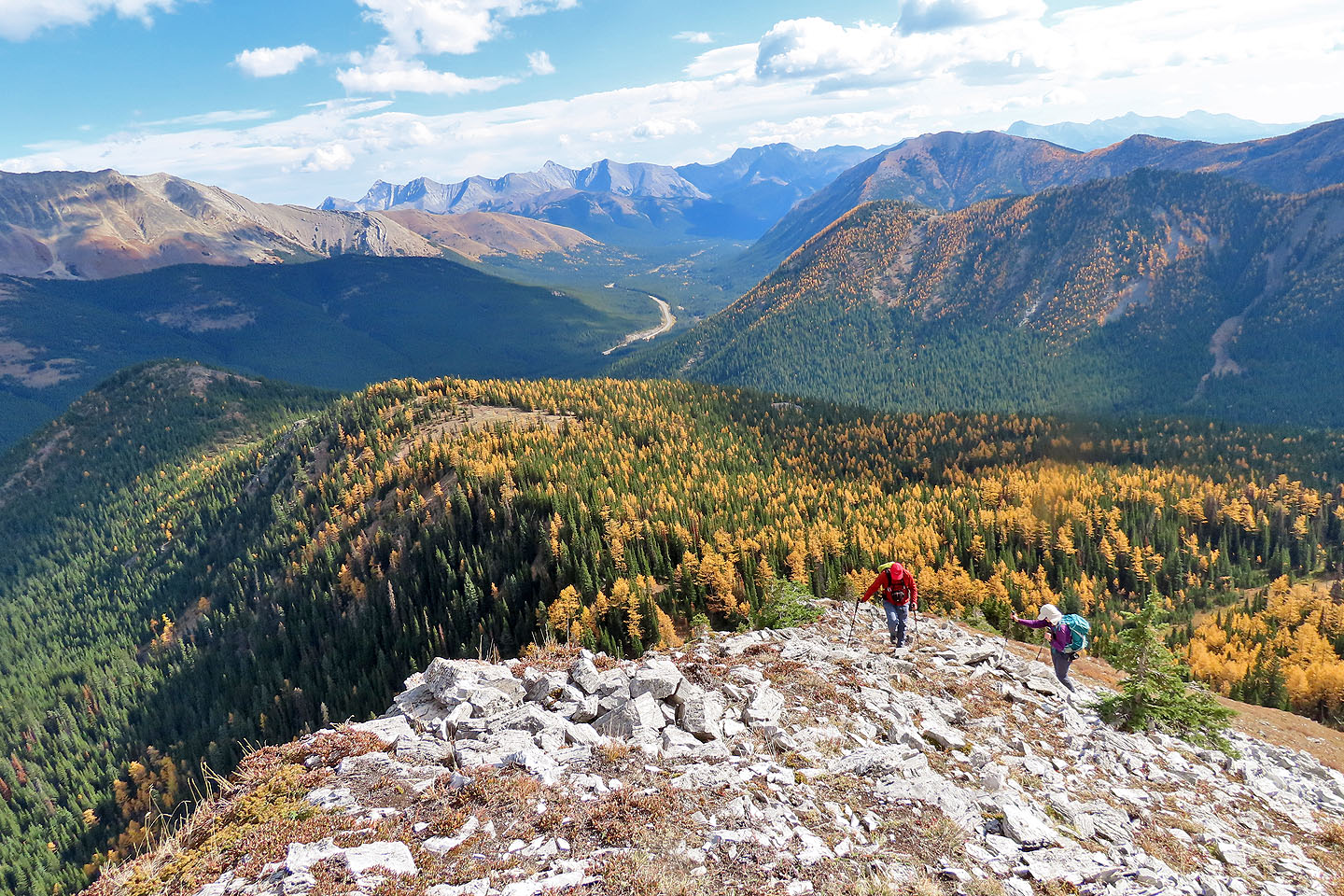
After a stiff climb, we reached our first high point and our first good views of yellow larches. We paused to look around before following the treed ridge as it went over another high point. Further along the ridge, was our objective: a rocky point rising above the forest. Behind it rose impossible cliffs. We followed a trail until a wall of trees forced us off the crest. We turned left, hiked up a steep, grassy slope and finished our ascent on rocks.
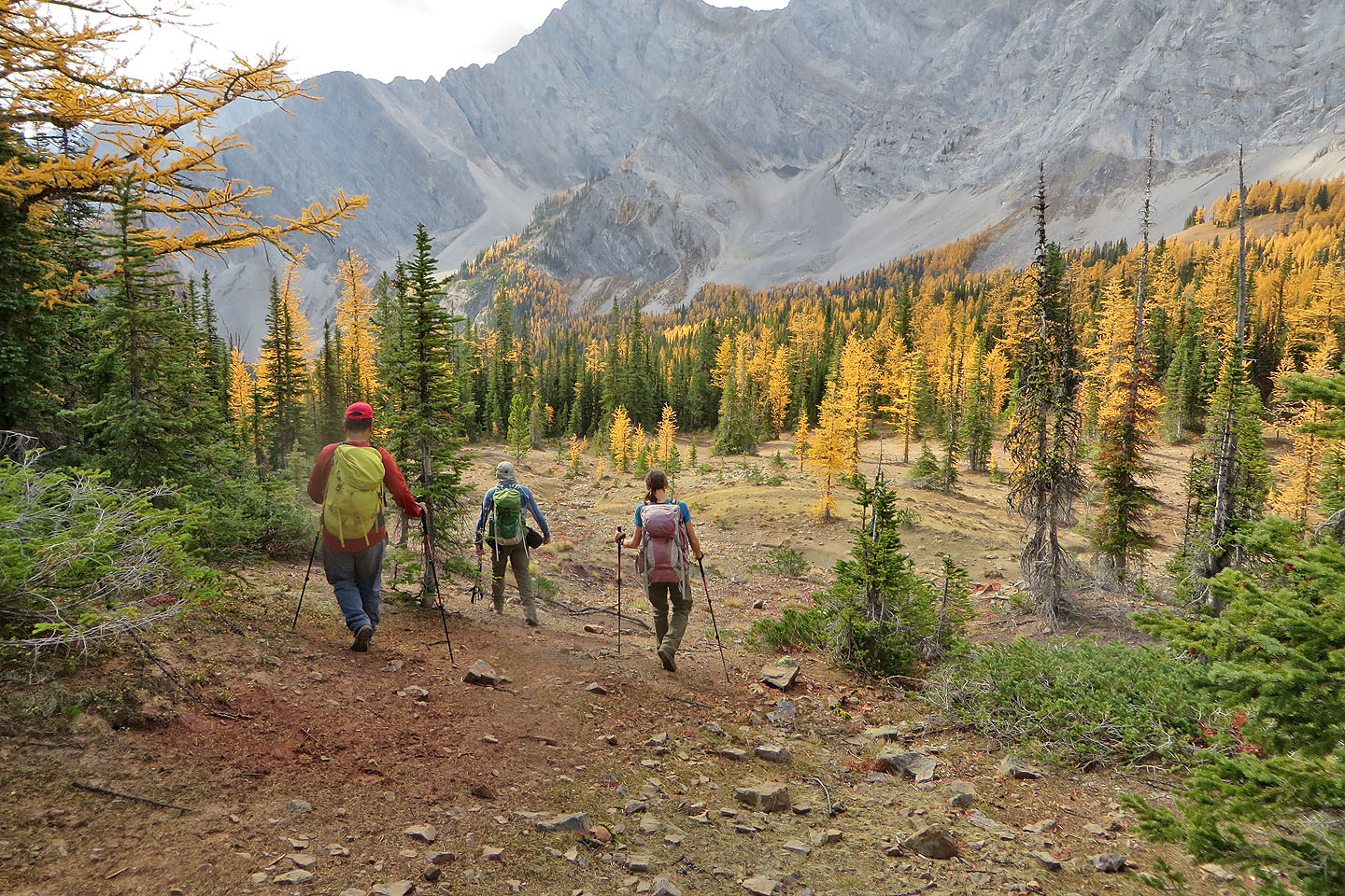
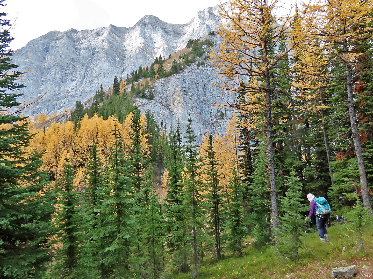
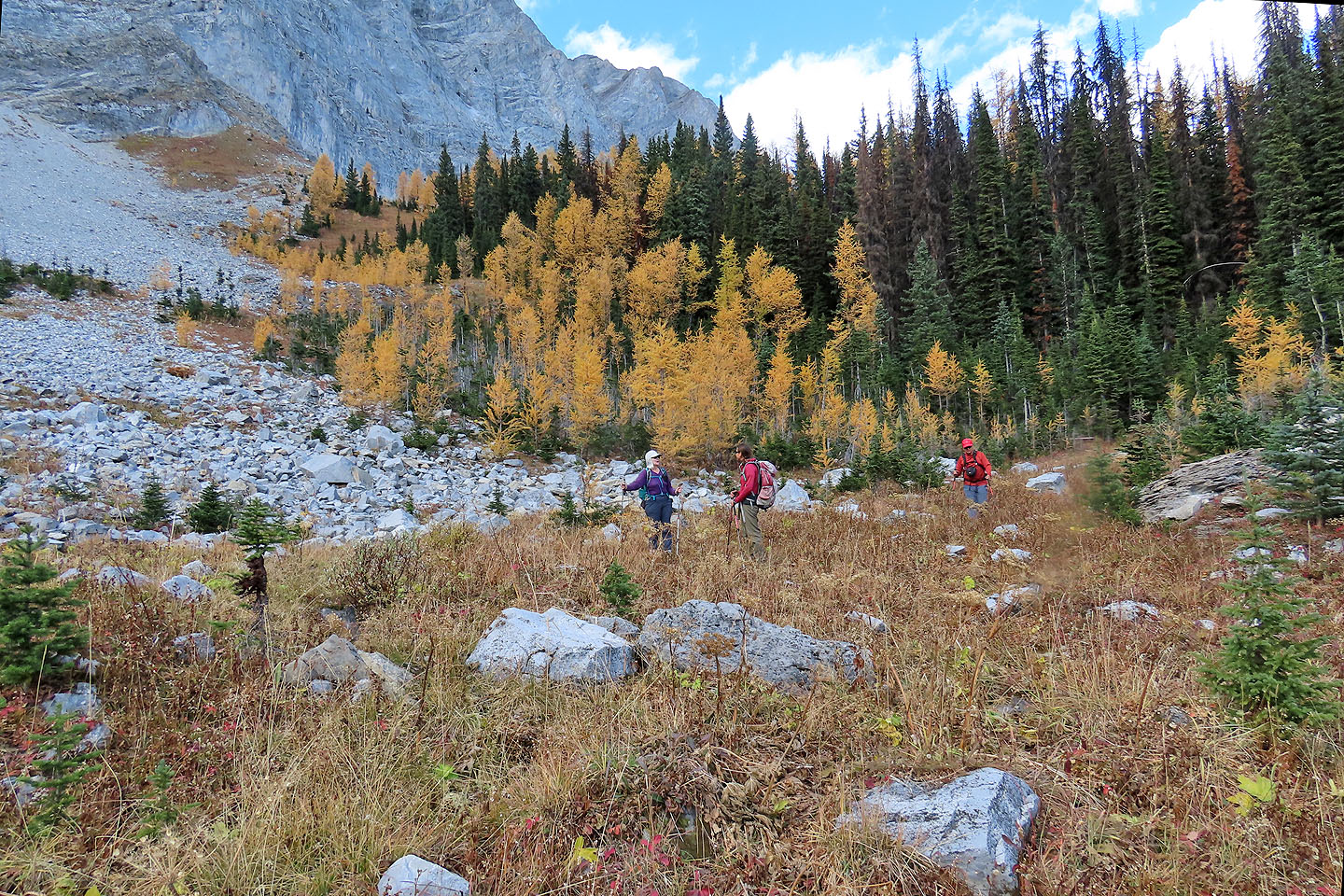
After spending time on top, we dropped down to a plateau covered in larches. Our next objective was a small basin at the bottom of a scree slope. We made our way through trees to the open basin. After reaching it, we turned left and entered the forest to find a trail that ran to the lake. It wasn't much of a trail, mostly a flagged route through the trees. Even so, the bits of blue flagging were difficult to spot, especially when they had fallen on the forest floor. In gaps where we saw no flagging whatsoever, we could only guess which way to go. And yet, it worked out well: we took a straight line to the north end of Running Rain Lake. We gratefully followed the beaten trail back to the trailhead.
Just before we left in our car, a guy from Kananaskis Country drove up. He got out carrying a sign and yellow caution ribbon and said the trail was closed due to “bear activity.” The next day, we learned a solo hiker was attacked by a grizzly bear north of Running Rain Lake leaving him with serious injuries.
KML and GPX Tracks
Sonny's Trip Report
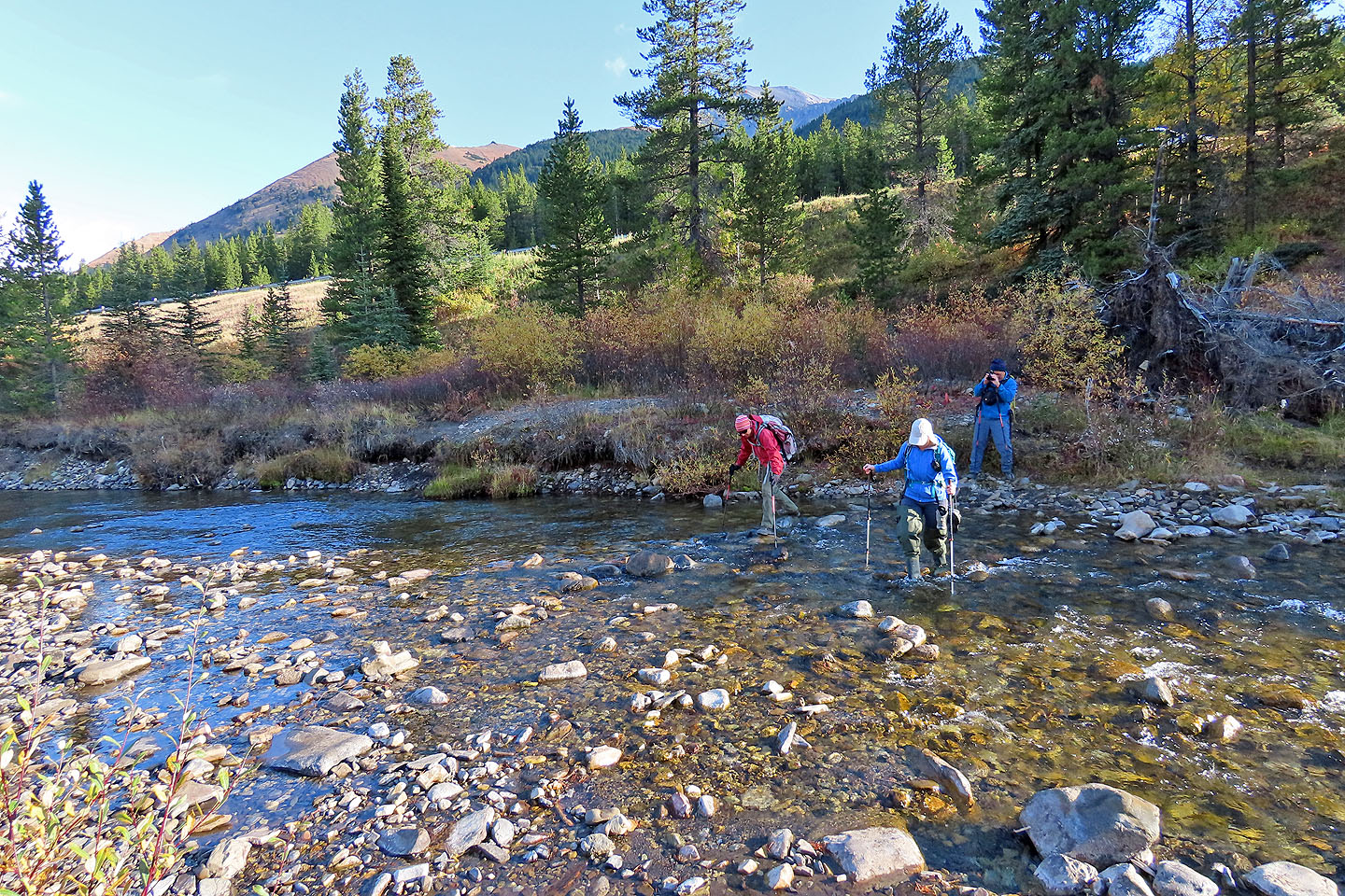
Crossing Storm Creek
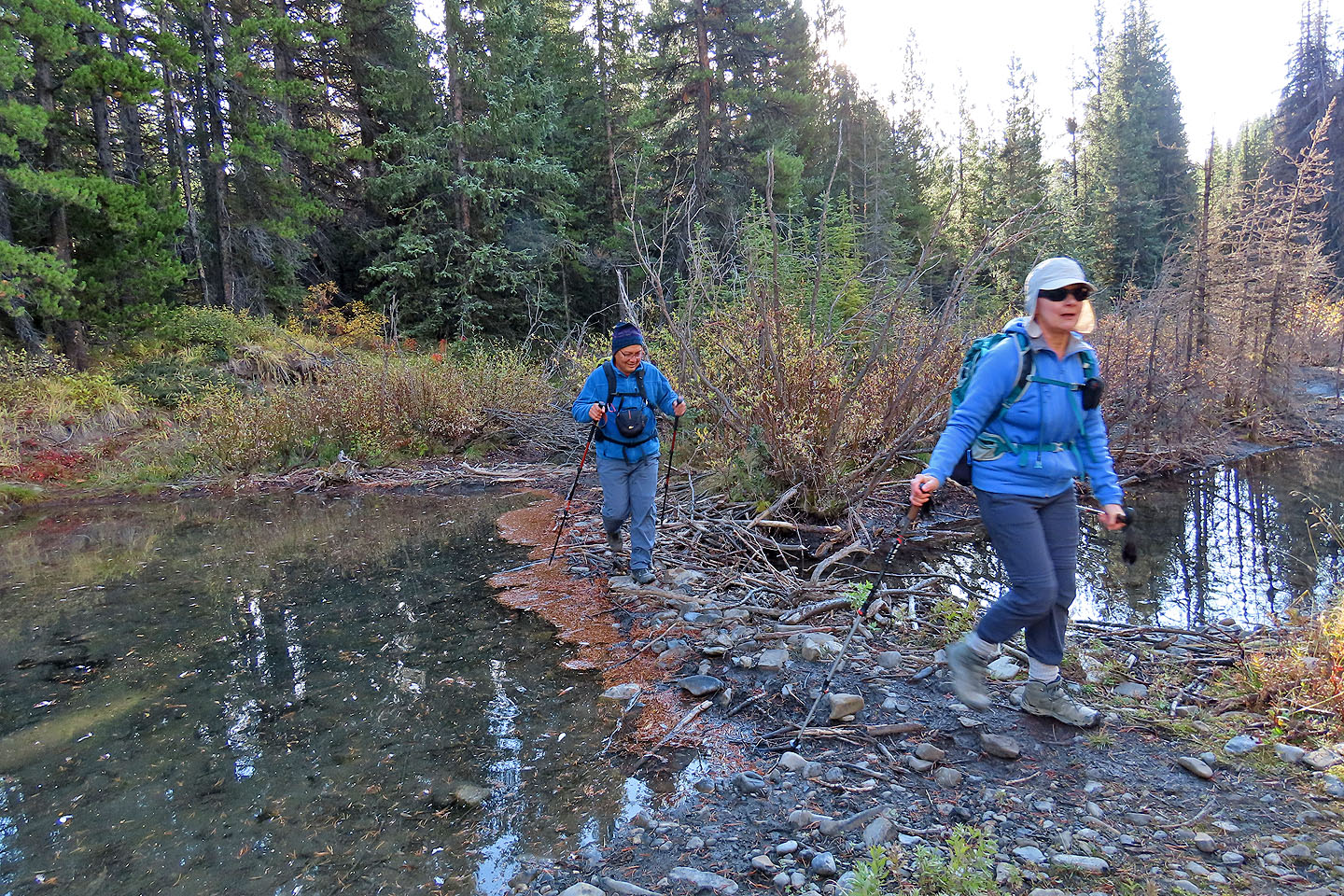
A couple of minutes after the creek, we crossed the beaver dam
Starting up the slope after leaving the trail
Zosia steps over a log on an animal trail
We reached the high point at the northeast end of the ridge
A monument marks the first high point (mouse over to read)
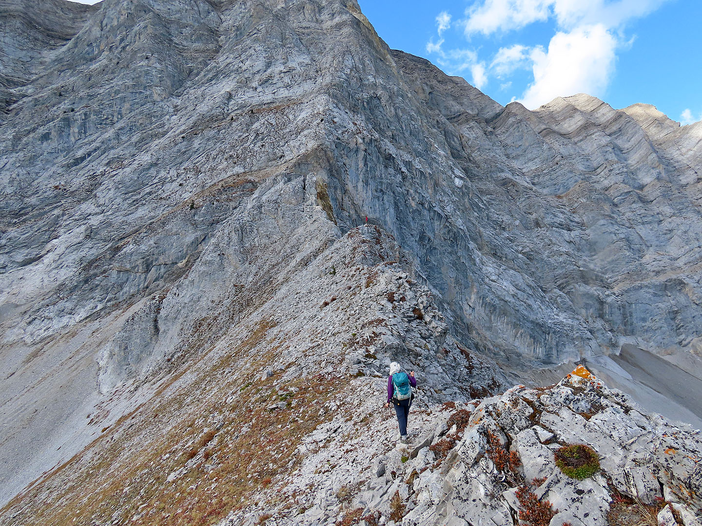
We followed the ridge to the clifftop on the right
Coming down from the high point
Looking back as we continued to the next high point
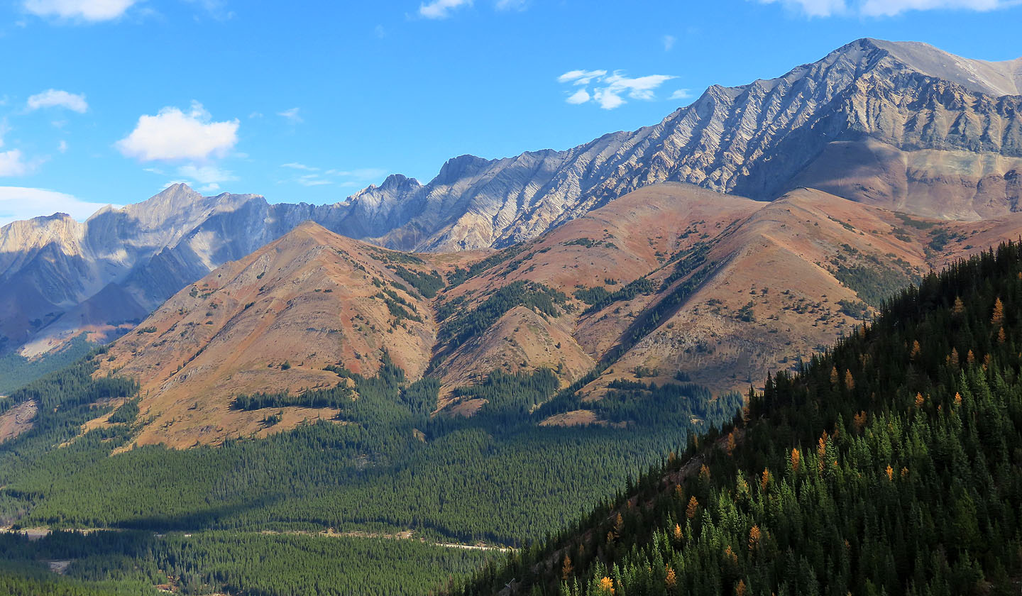
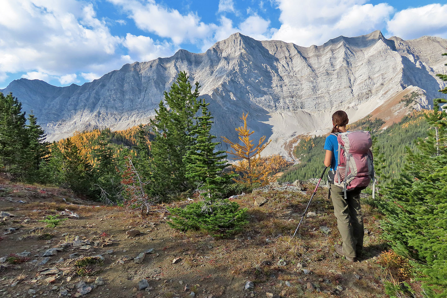
Mount Lipsett and Mist Mountain appeared behind us
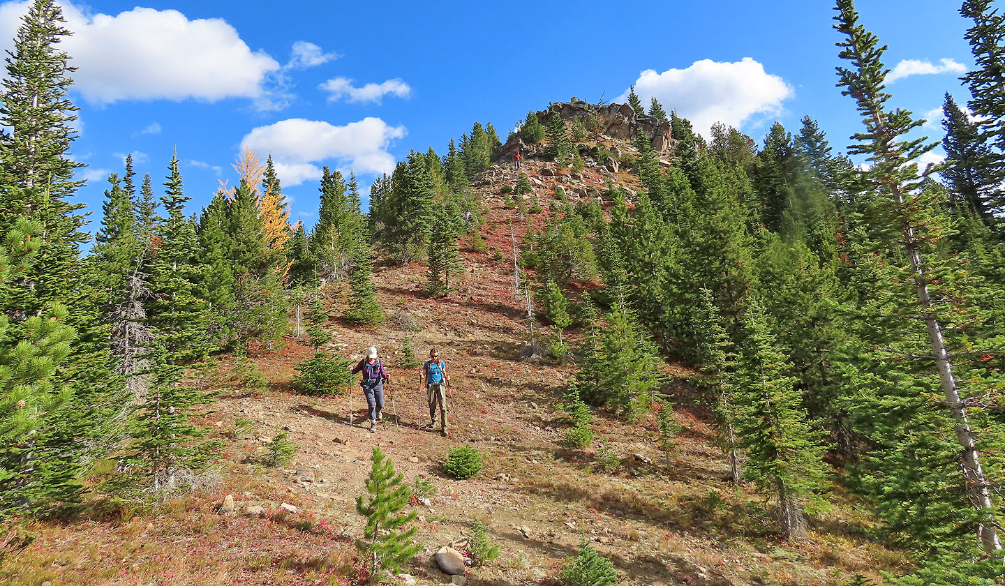
There was no cairn on the next high point
The last high point we reached rises above the trees
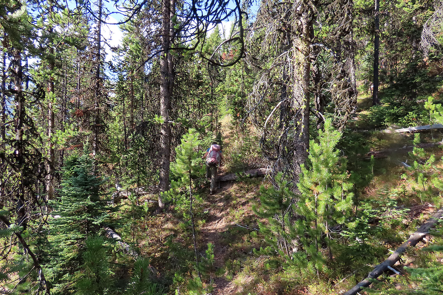
In the trees ahead, we found an excellent ridge trail
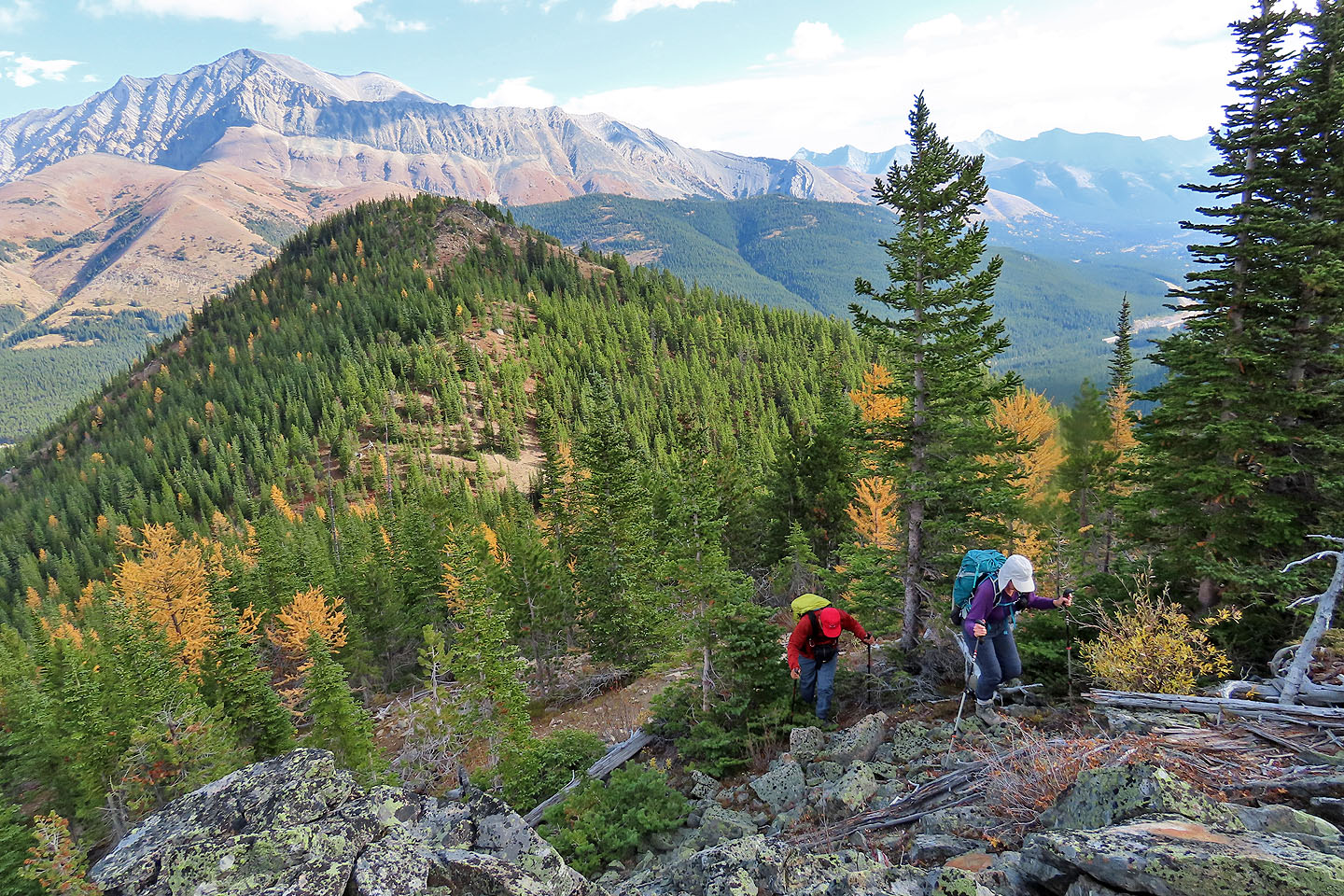
We lost a bit of elevation before the high point
Hiking up the slope with the South Ridge behind us
Looking back along the ridge
Looking back just before the high point
Zosia (red dot in centre) waits on the top
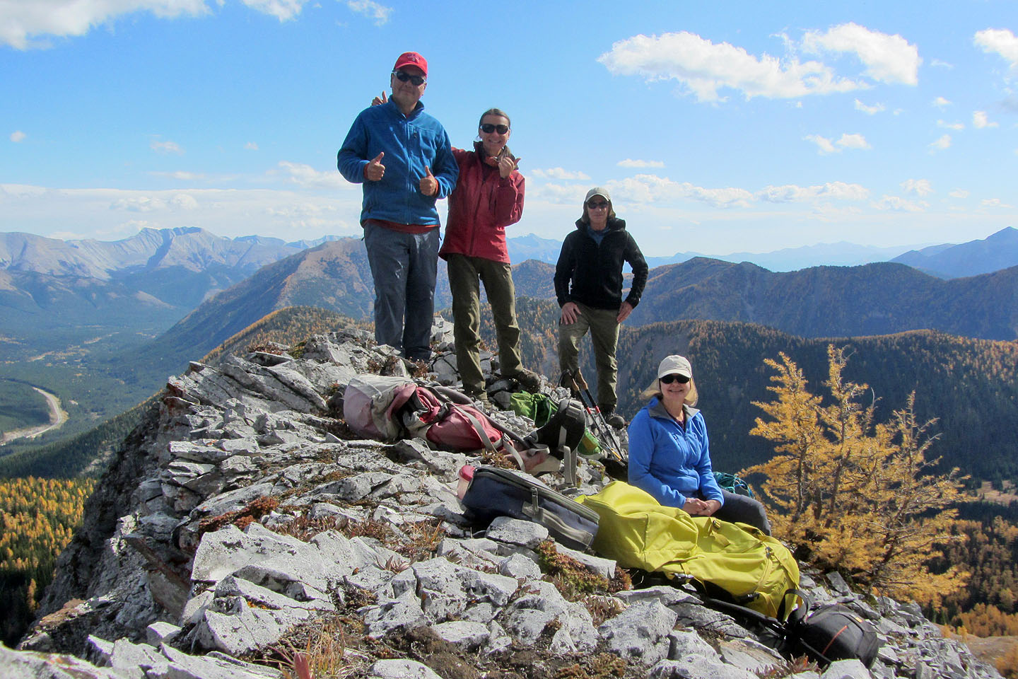
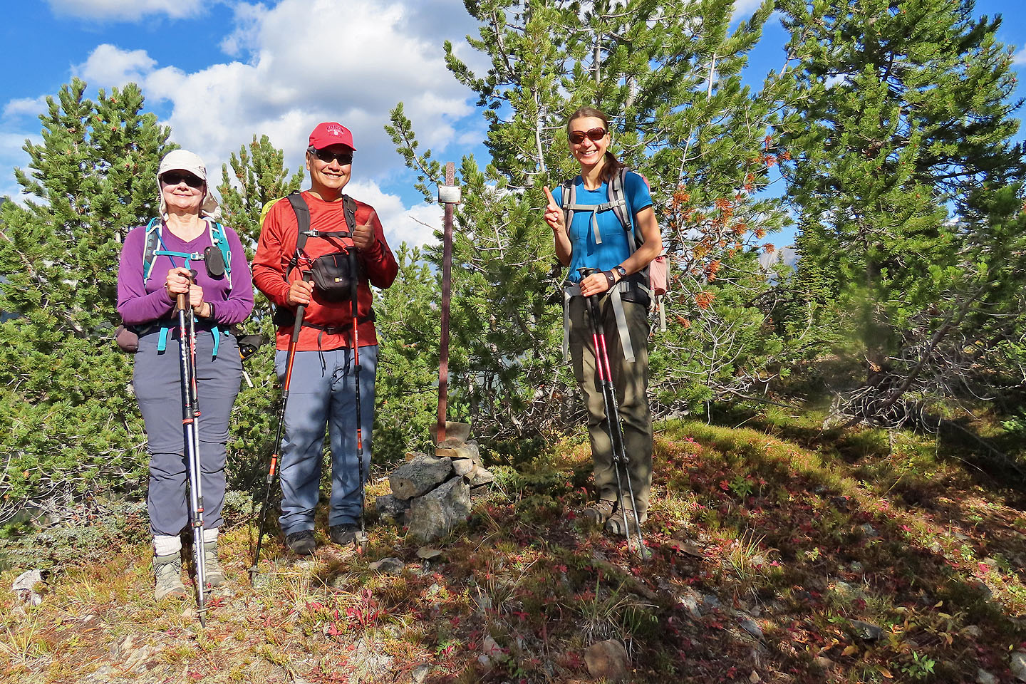
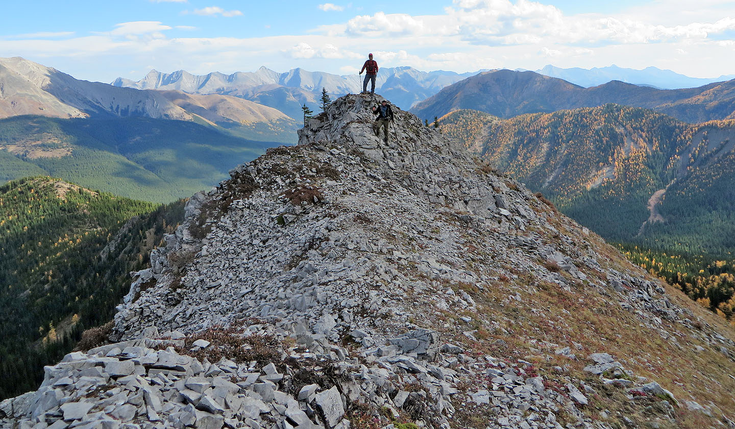
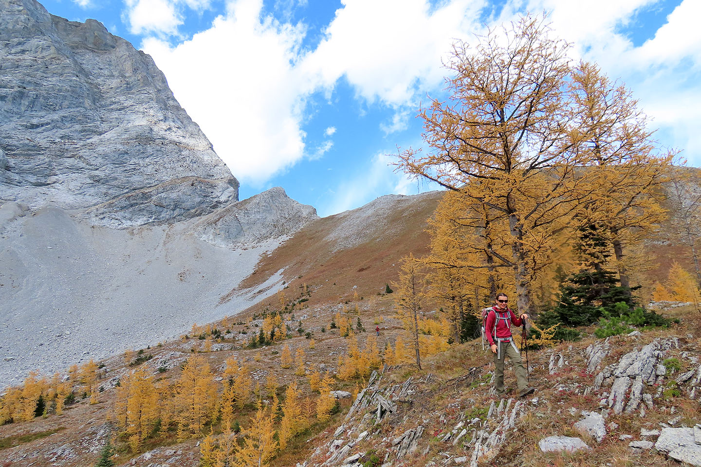
Posing on the "summit"
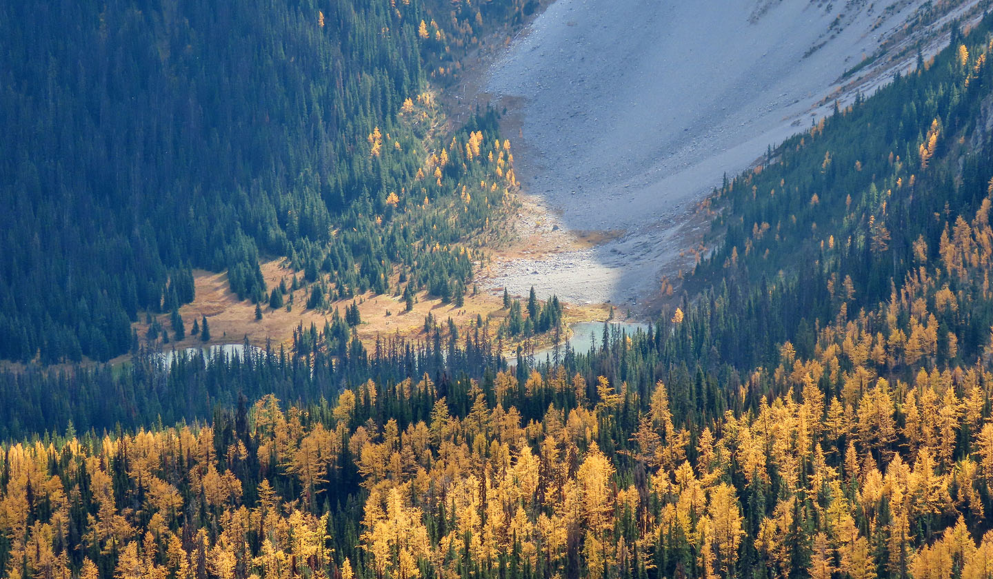
Looking down at Running Rain Lake
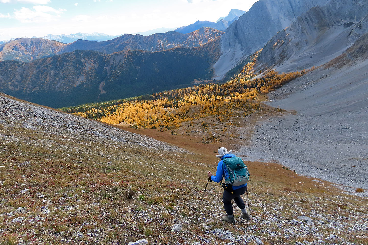
Starting down
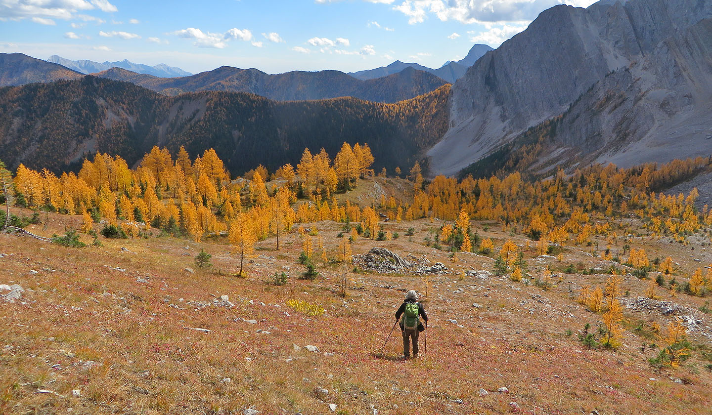
Heading into the larches
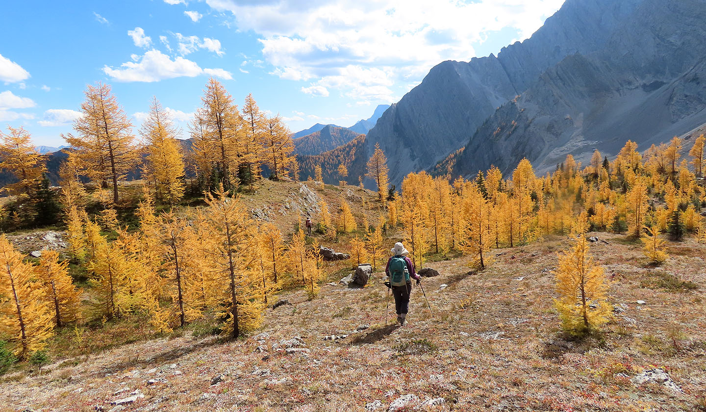
The larches were at their peak for fall
Looking back at the high point
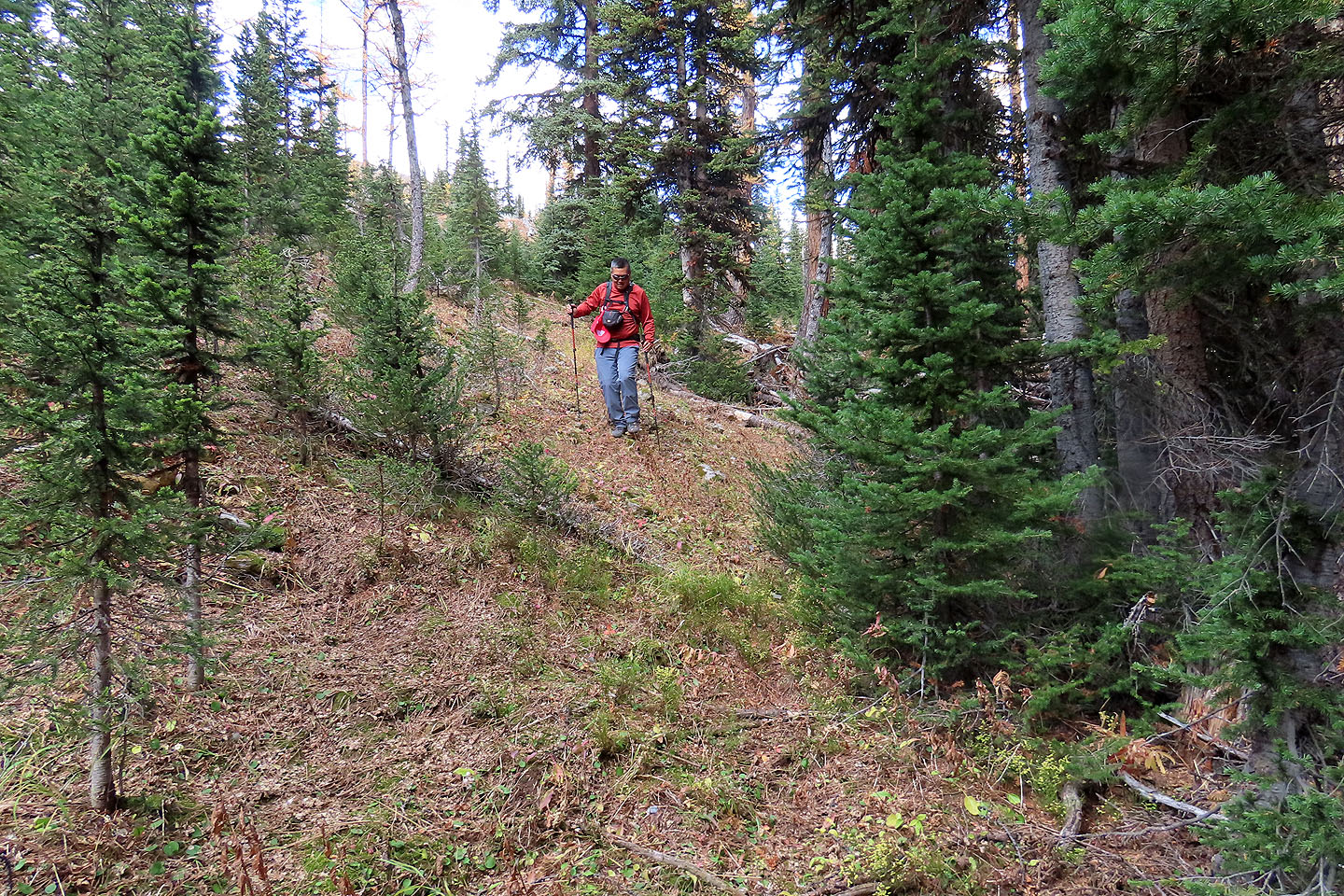
Coming down through the forest
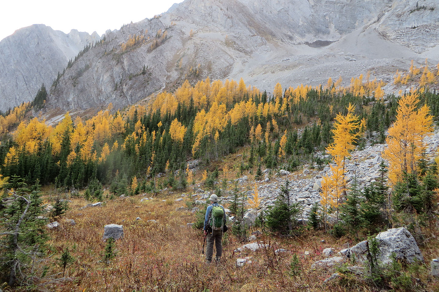
When we reached the basin, we turned left and found the trail in the trees
Looking back at the basin
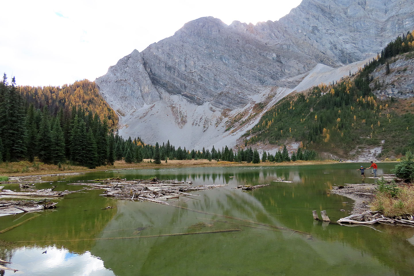
The trail led to the north end of the lake
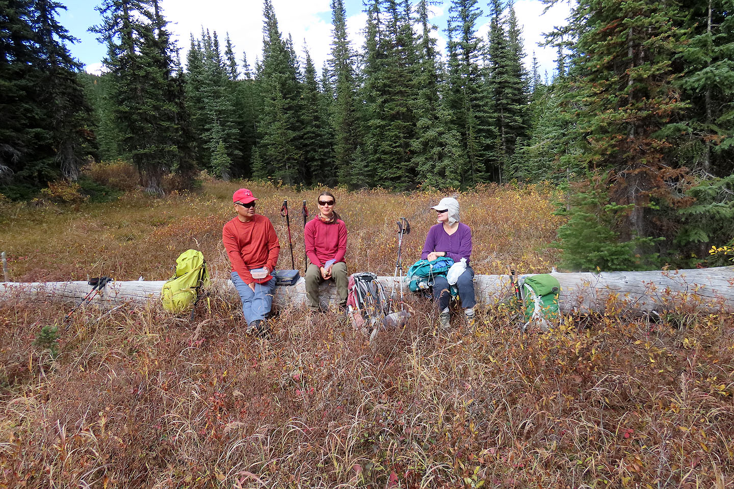
We took a break on a log by the trail
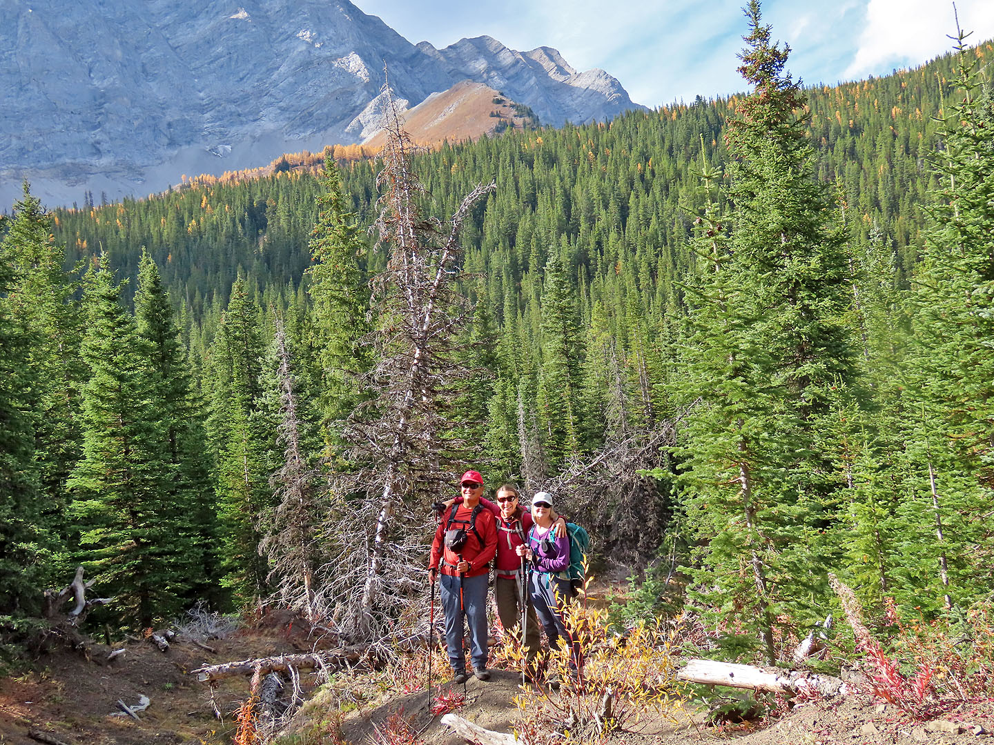
Sonny, Zosia and Dinah stopped on the trail to pose under the ridge we climbed (mouse over)
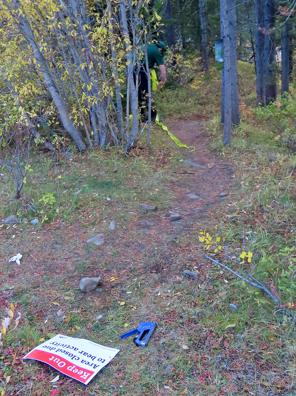
After we returned to our cars, Kananaskis Country closed the trail
 OpenTopoMap