bobspirko.ca | Home | Canada Trips | US Trips | Hiking | Snowshoeing | MAP | About
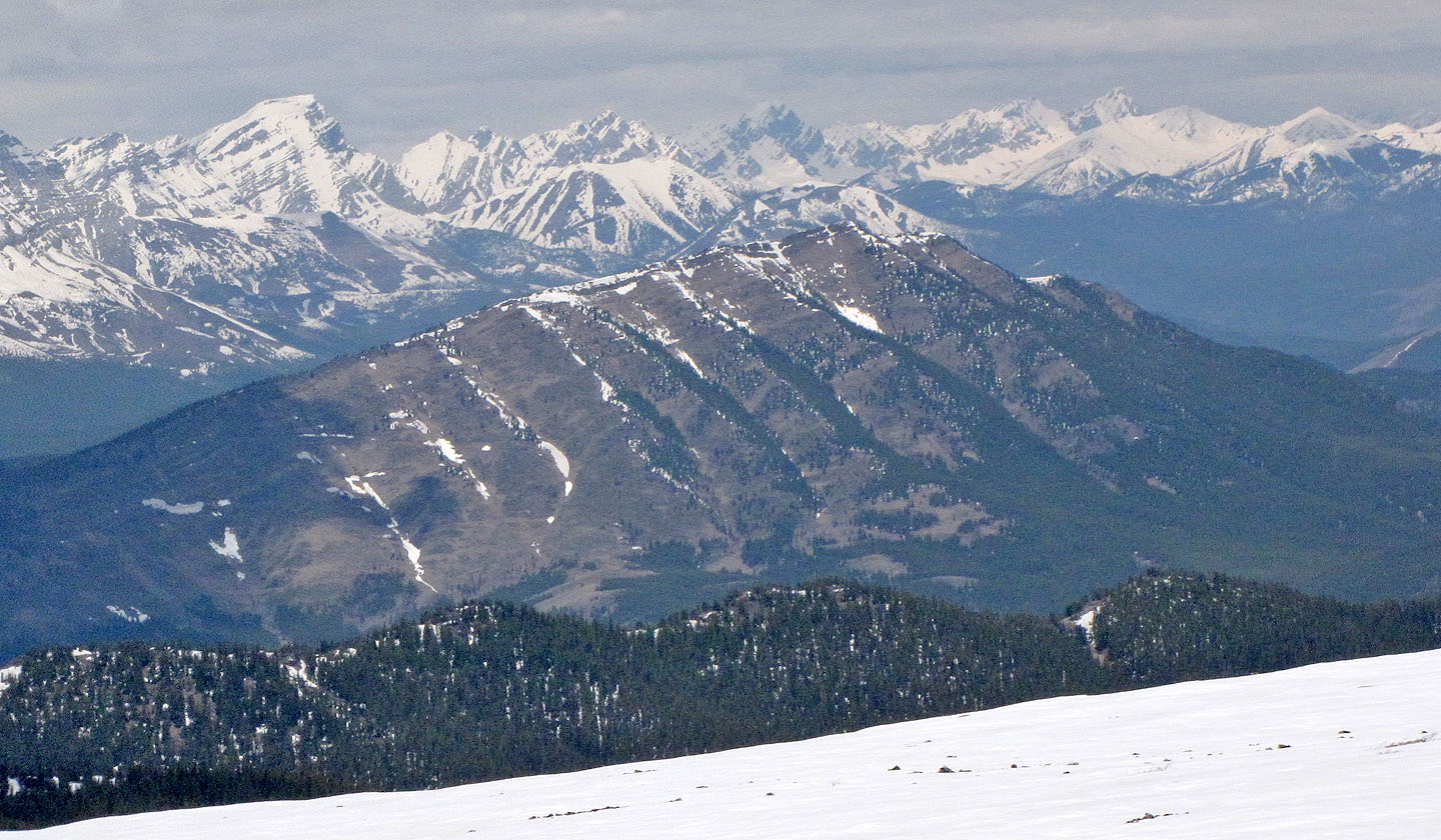
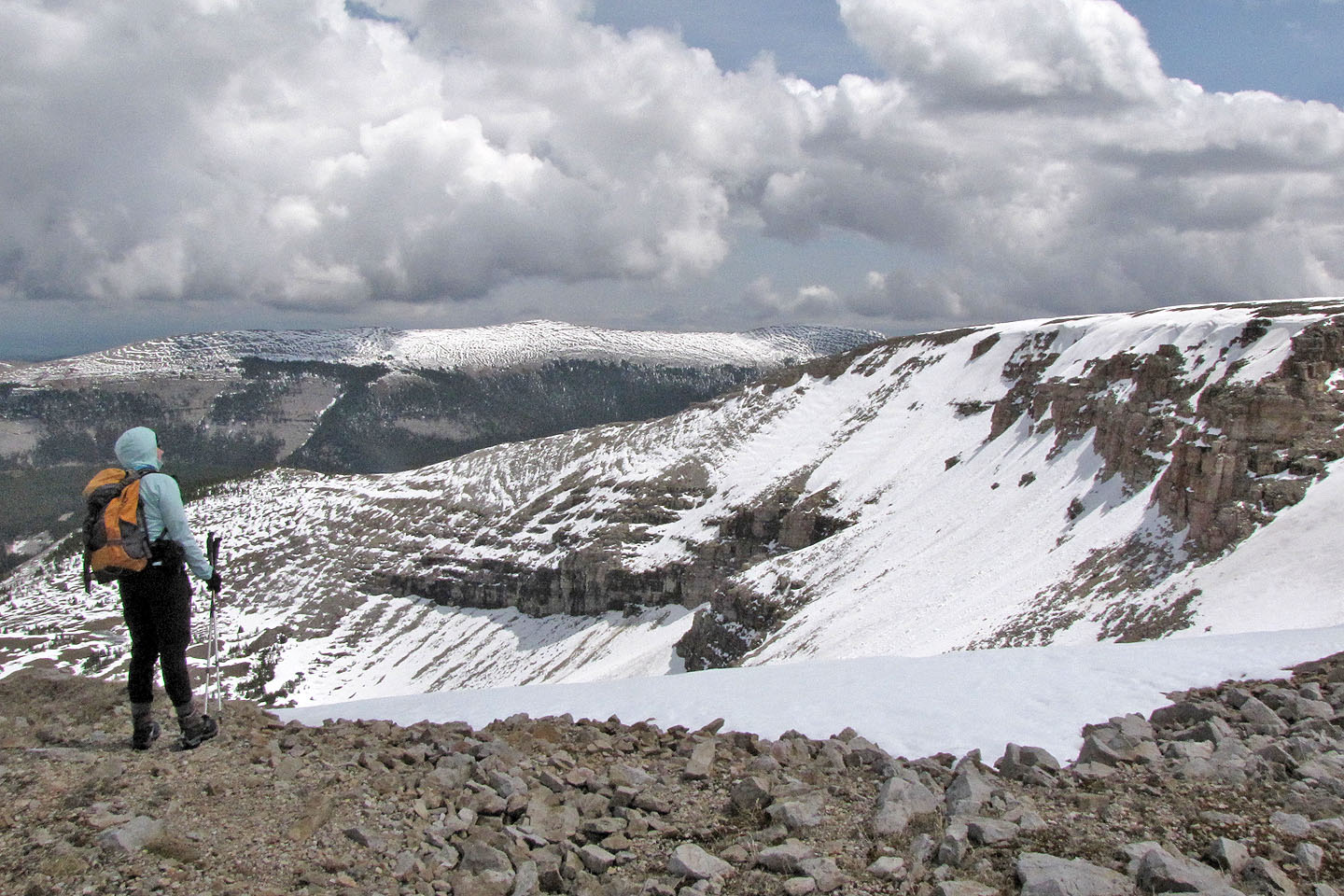
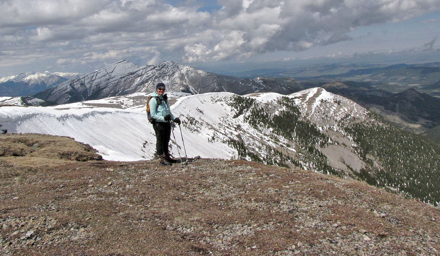
View from the south summit
Plateau Mountain
Kananaskis, Alberta
June 4, 2011
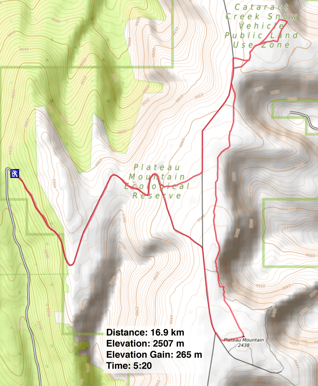
Distance: 16.9 km (10.5 mi)
Cumulative Elevation Gain: 327 m (1073 ft)
Over the years I have been eyeing Plateau Mountain, observing it from the mountaintops surrounding it. It was time I saw Plateau Mountain from, well, Plateau Mountain.
Dinah and I used the normal route from Hwy. 940, hiking up the road winding up the west side before turning southeast towards the summit. However, the road doesn't extend to the summit, and we covered the final 250 m stretch offtrail. This would have been easy in dry conditions, but we had to posthole because of deep snow. Aside from the road, we found few snow-free spots on the plateau.
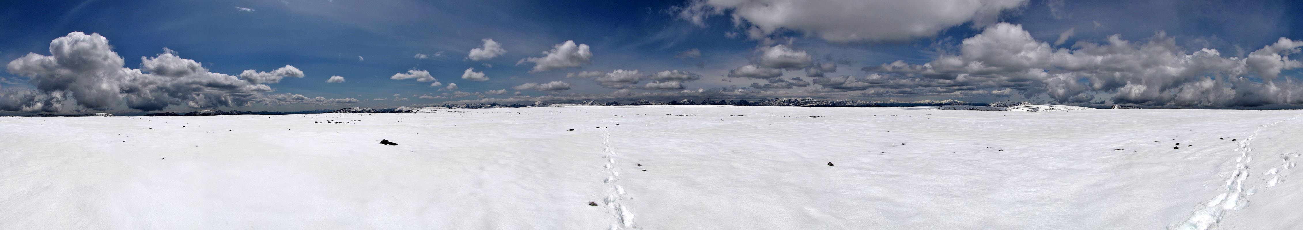
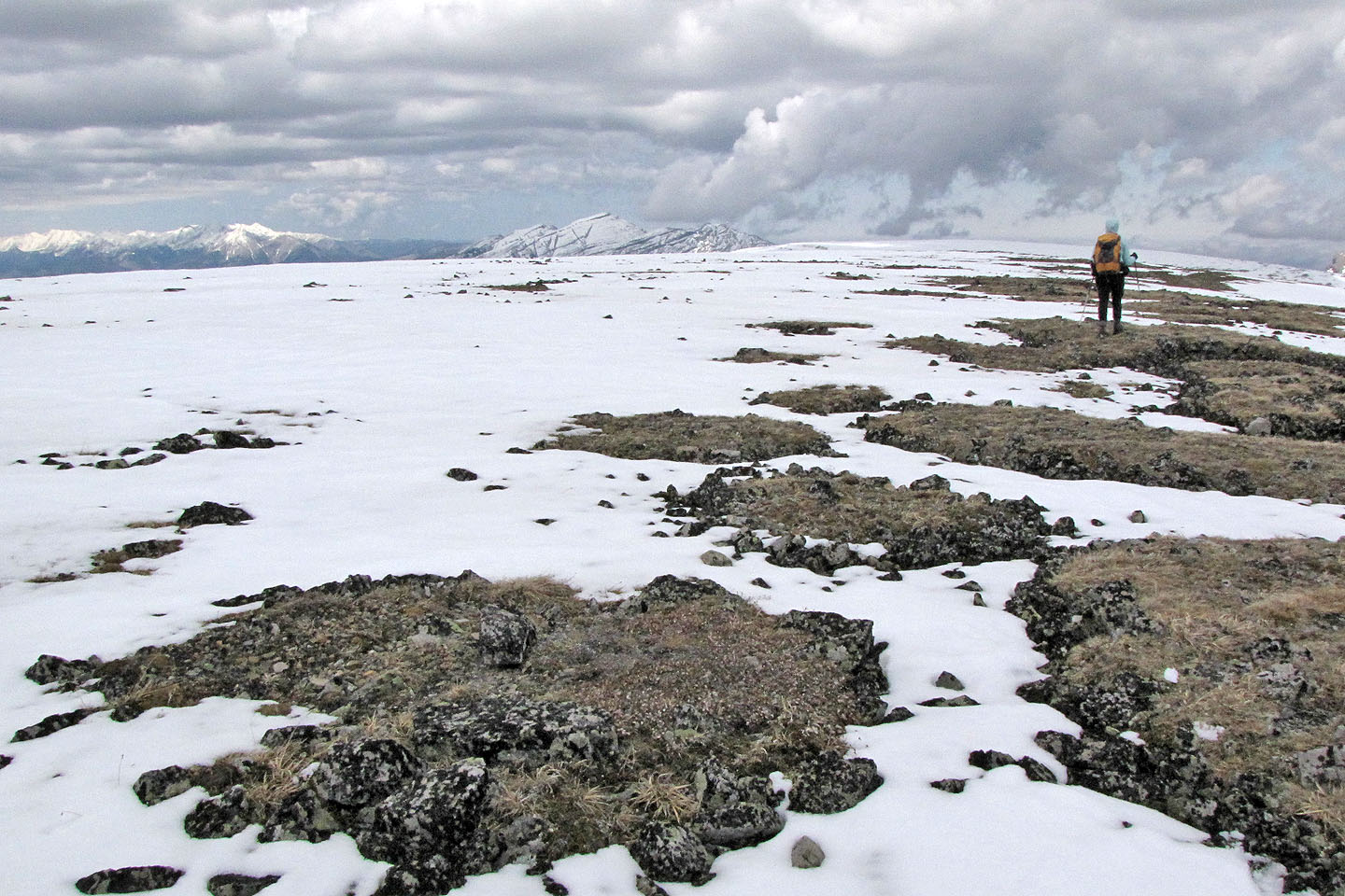
The top of Plateau Mountain could hardly be more uninspiring. It was so flat and featureless, it was like being on the prairies. Only the distant peaks barely visible on the horizon indicated we were in the mountains. It's unlike any summit we've been on.
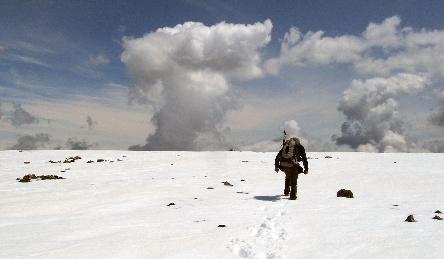
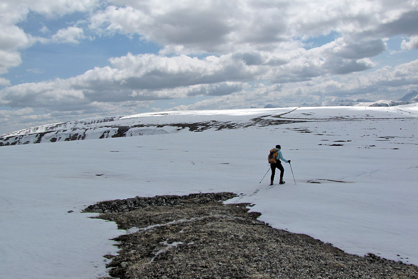
We hoped that the north summit would be interesting. We set out for it, but the snow between us and the north summit belied the true lay of the land; under the smooth blanket of snow, the ground was rocky and uneven. Sometimes we sank a couple of inches in the snow, and sometimes we dropped more than a foot. Sometimes, where meltwater had collected under the snow, we stepped in puddles so deep that water poured over the tops of our boots.
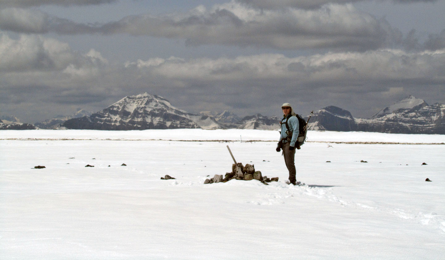
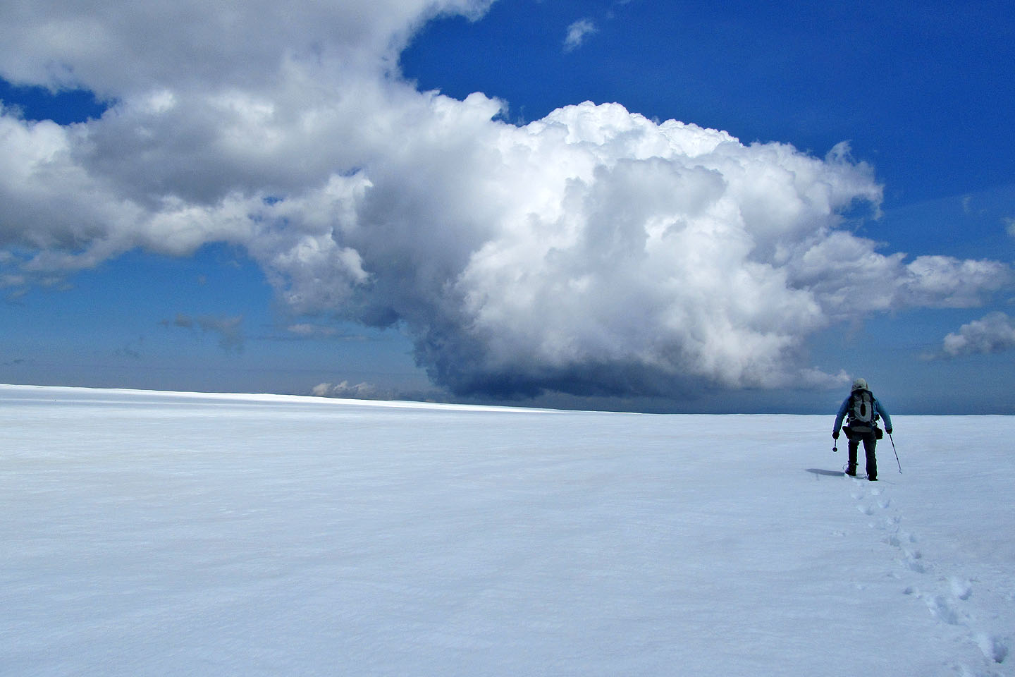
Eventually we came to the road running north-south and followed it briefly before heading to the north summit. But the terrain here was so impossibly flat that we couldn't discern a high point. My GPS showed showed a few spots at 2428 m but no higher. We traversed the north summit until we reached the edge of a cliff. Here at least, we could view some scenery including Sentinel Peak.
I would have liked to have explored Plateau Mountain further, but with so much snow this was not the day to try it. So with cold water squelching in our boots, we plodded back to our car.
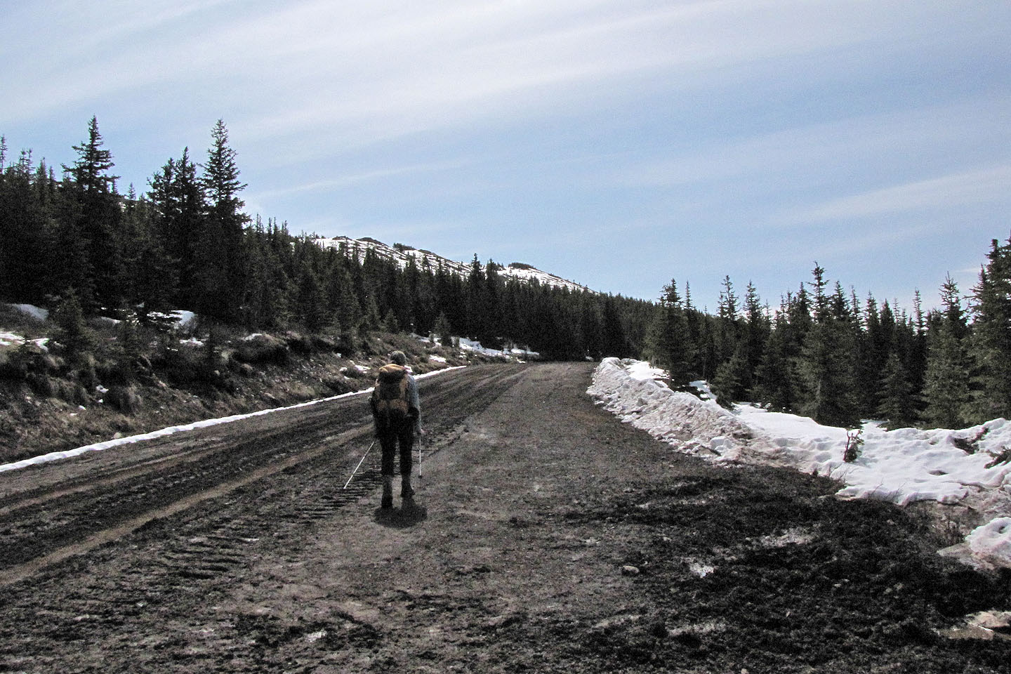
Starting up the road
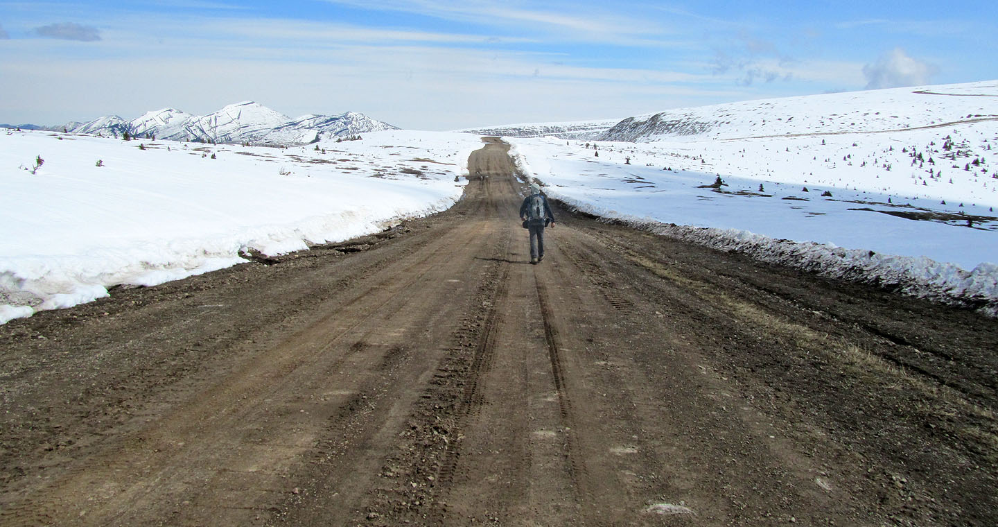
The long and winding road that leads to the summit
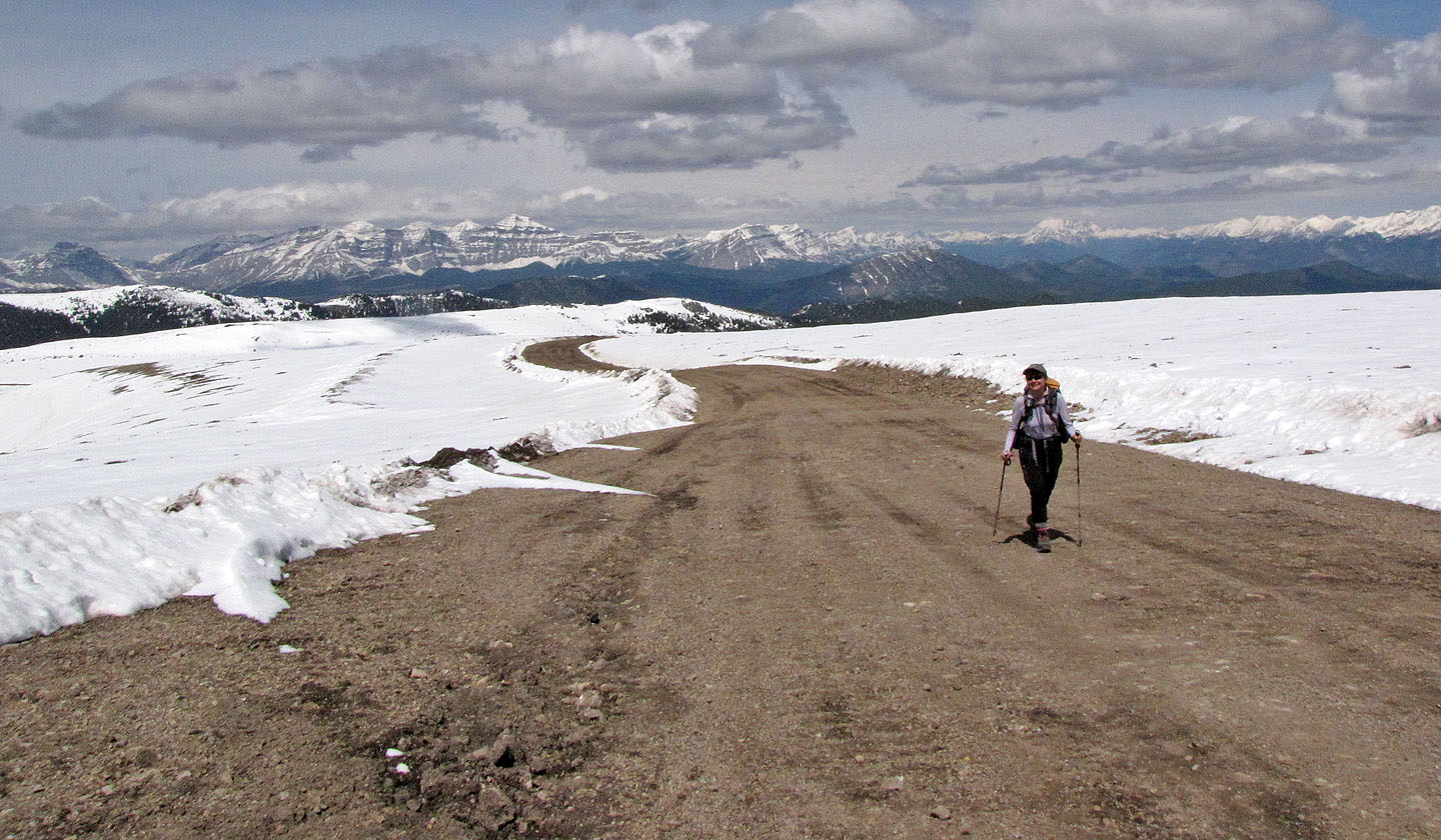
Looking back at distance peaks
Ridge 735663 lies west
Heading to the summit cairn (the black lump on the horizon)
The summit
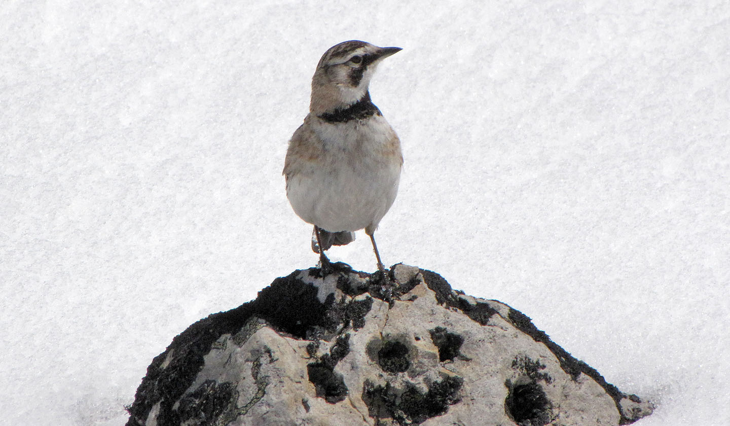
We saw several larks seeking food among the rocks
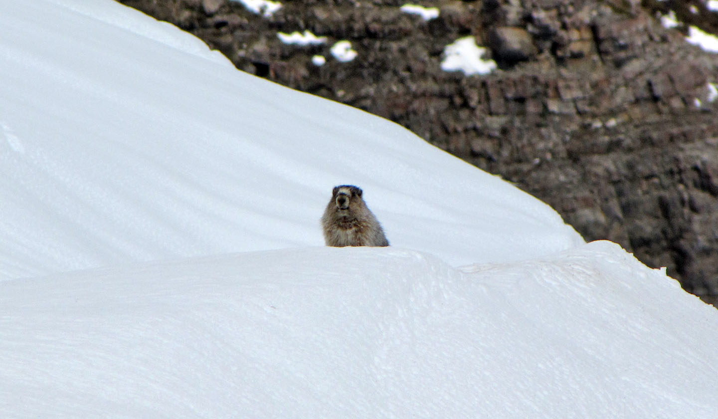
We tried to see this marmot from a different angle, but it disappeared down a
hole in the snow (mouse over)
Looking east
Looking northeast towards Sentinel Peak (left) and Iron Creek Mountain (right)
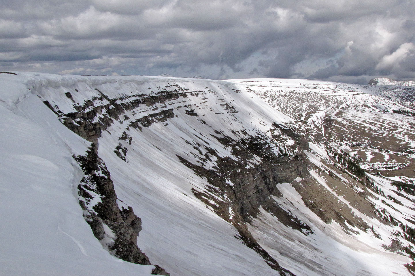
Cliffs line the east side
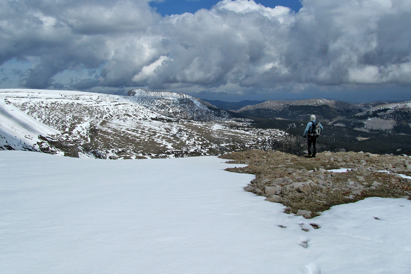
Heading to the north summit
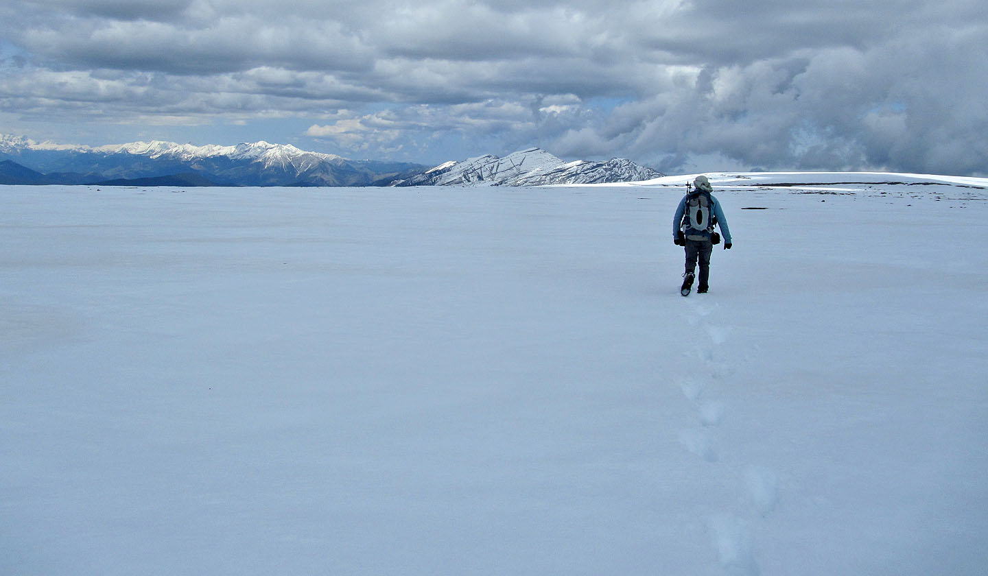
North summit is still a couple of kilometres away
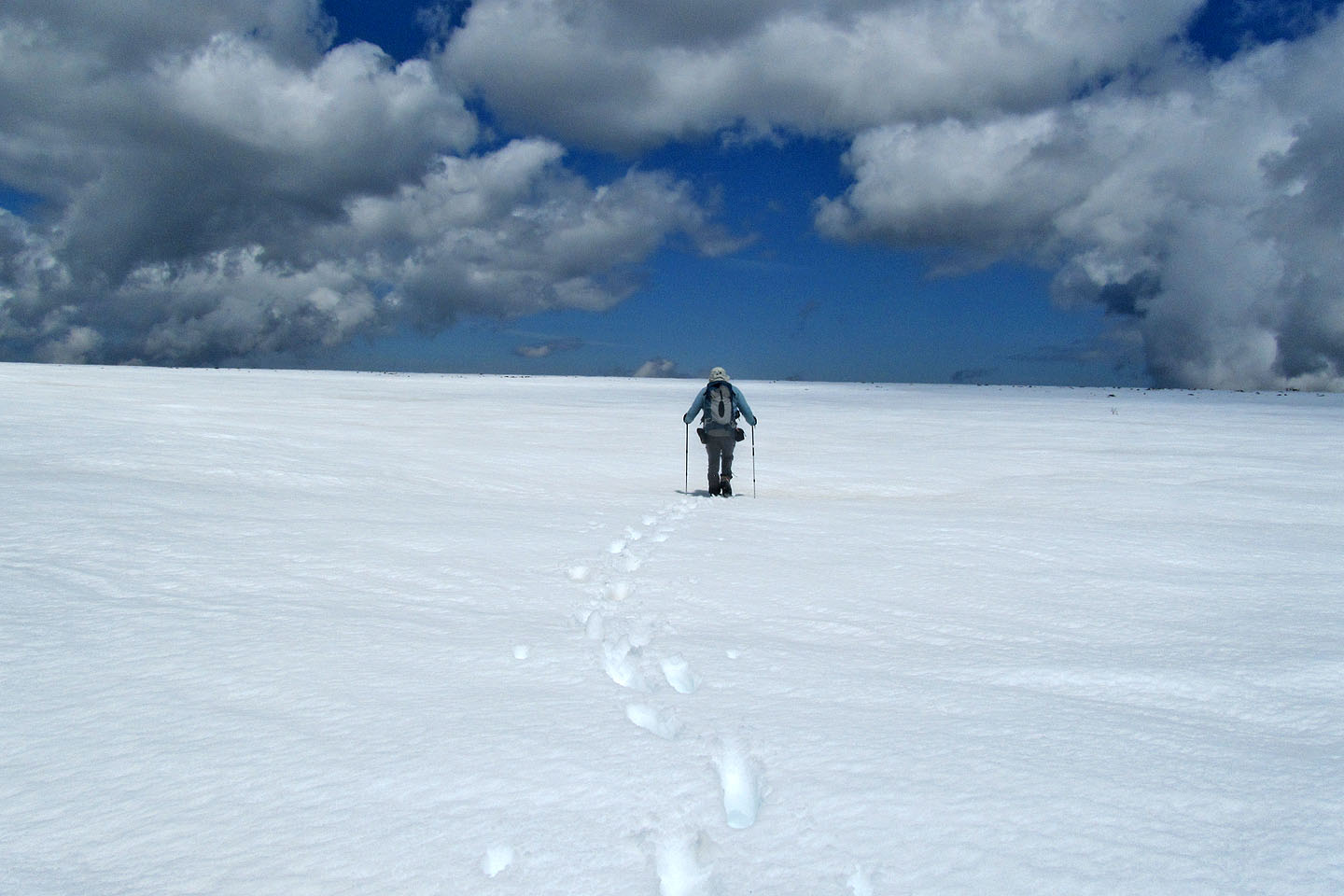
Hmmm... I wonder where the summit is
Still looking for the north summit
We reached a cliff edge without finding the summit
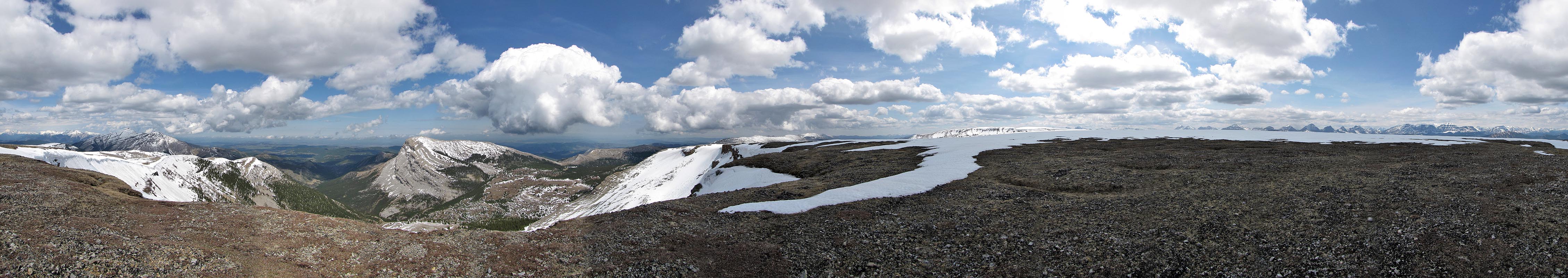
Panorama from the north summit, or close to it
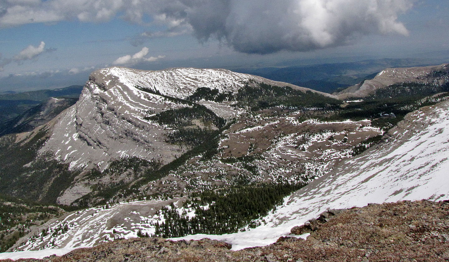
Sentinel Peak
We made our way back to the road
Open Topo Map