bobspirko.ca | Home | Canada Trips | US Trips | Hiking | Snowshoeing | MAP | About
Mustang Hills
Kananaskis, Alberta
December 25, 2011
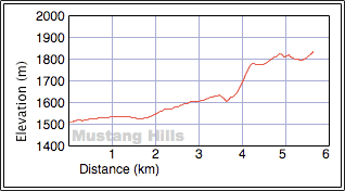
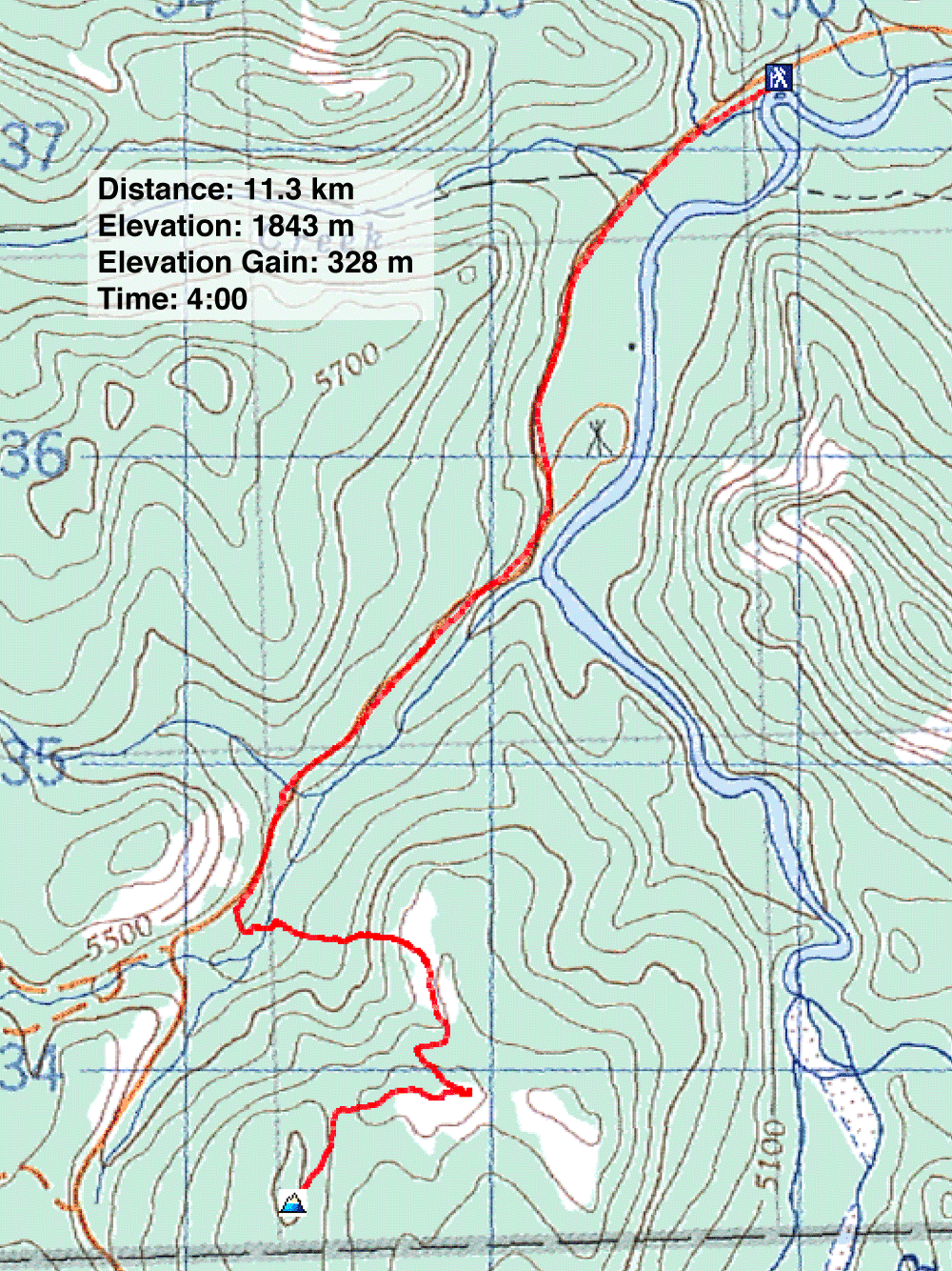
Distance: 11.3 km (7.0 mi)
Cumulative Elevation Gain: 420 m (1378 ft)
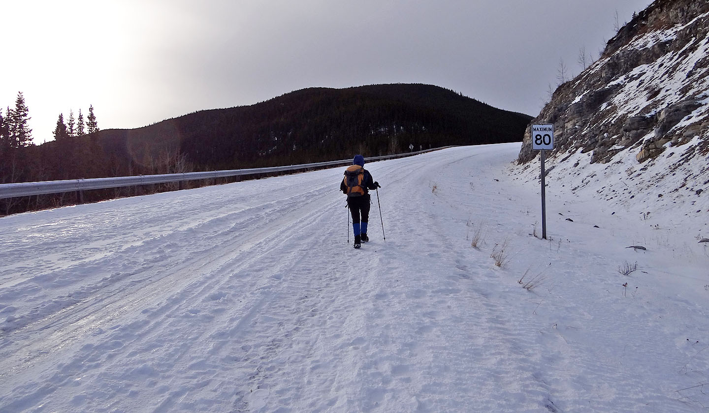
I've never given Mustang Hills a glance when I've driven past them in the summer, but as a quick winter escape they looked attractive, even though it meant walking 3.5 km up Hwy. 66 to reach the trailhead because of the seasonal gate closure. (See our East Summit trip for a trail approach when the seasonal gate is open.)
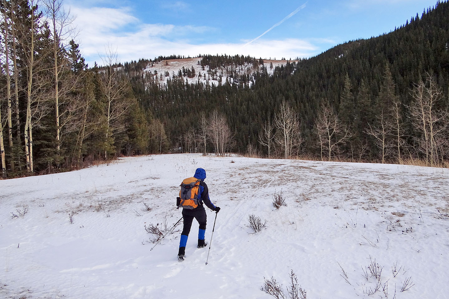
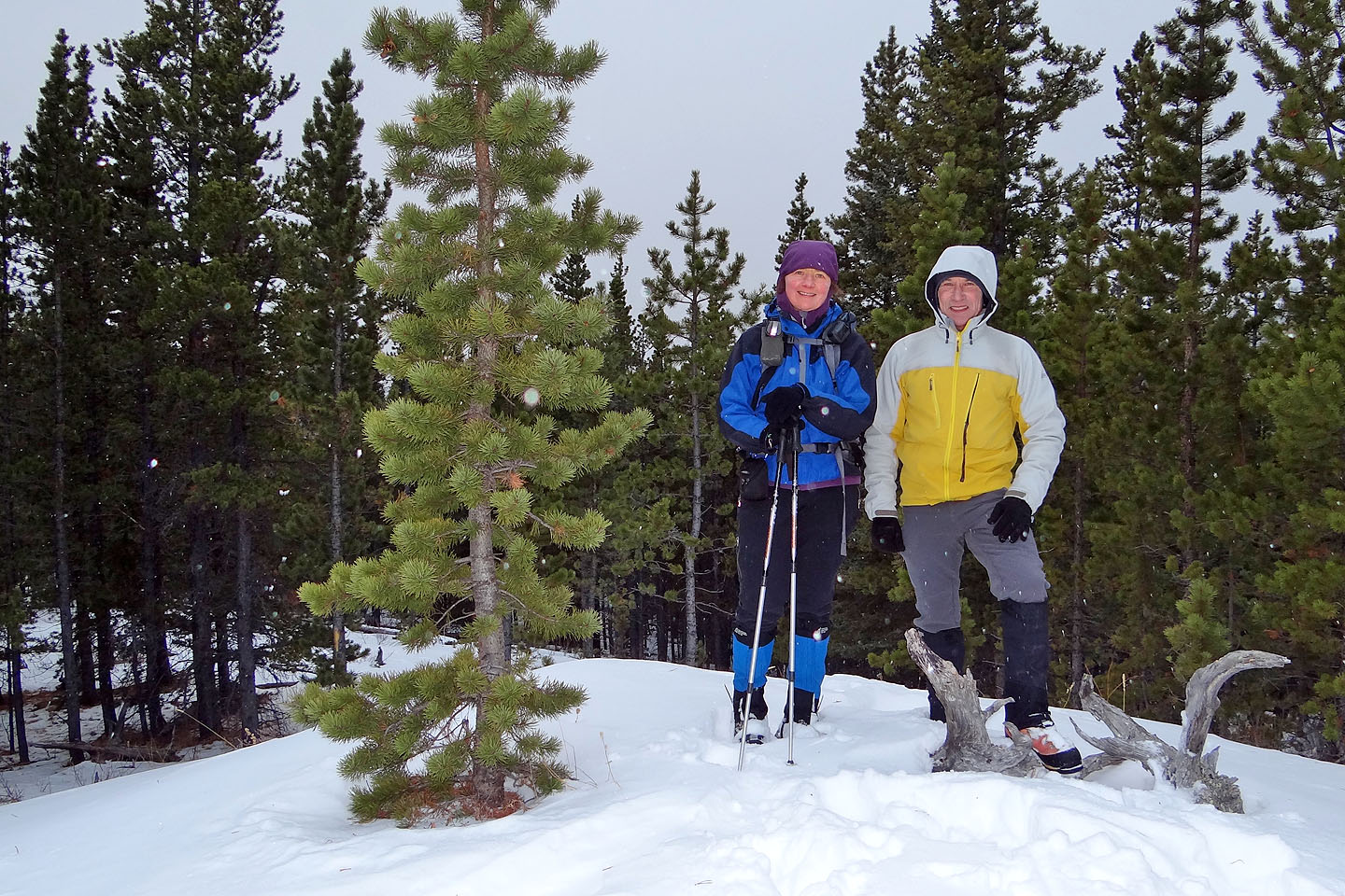
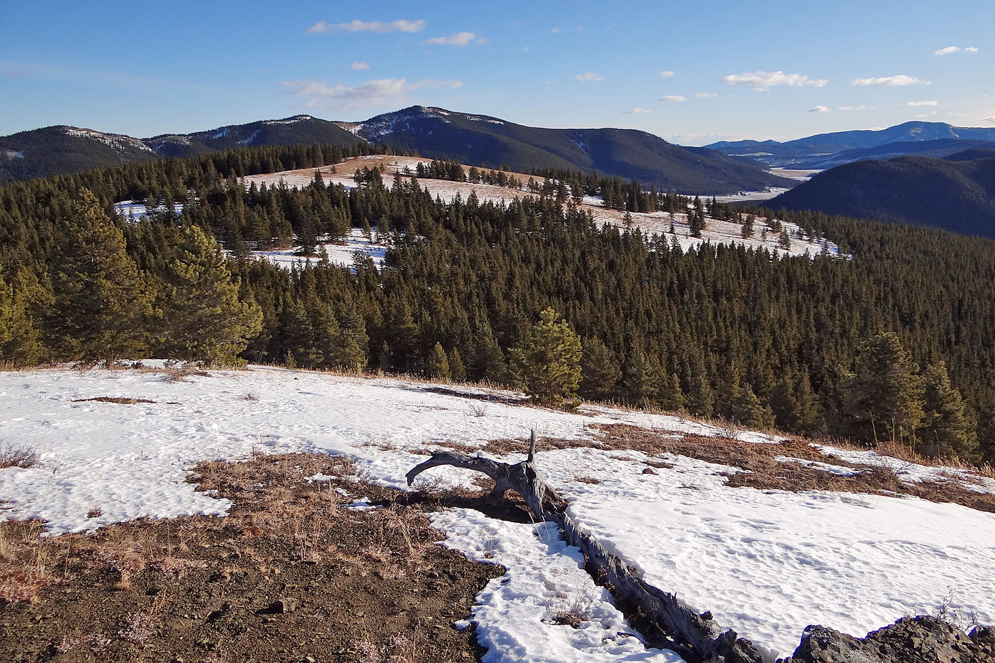
Dinah and I drove to the gate. After parking, we pushed past people preparing to parade up Prairie Mountain. In contrast, there wasn't a soul on the icy highway ahead of us. After walking for nearly an hour, we came to a clearing on our left where we could see the bare north ridge of Mustang Hills. We dropped down to the ravine that separates the hills from the highway and started climbing. After gaining the ridge, we headed into the trees towards the centre hill. We noticed numerous tracks in the snow. Apparently wild horses had trampled through, but we didn't catch sight of the animals themselves.
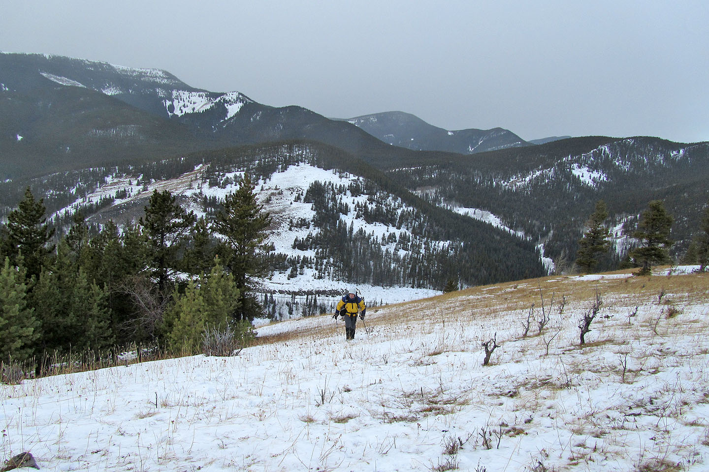
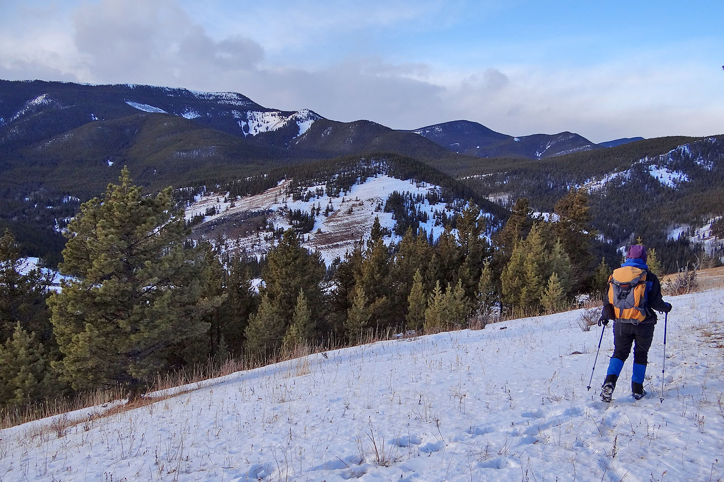
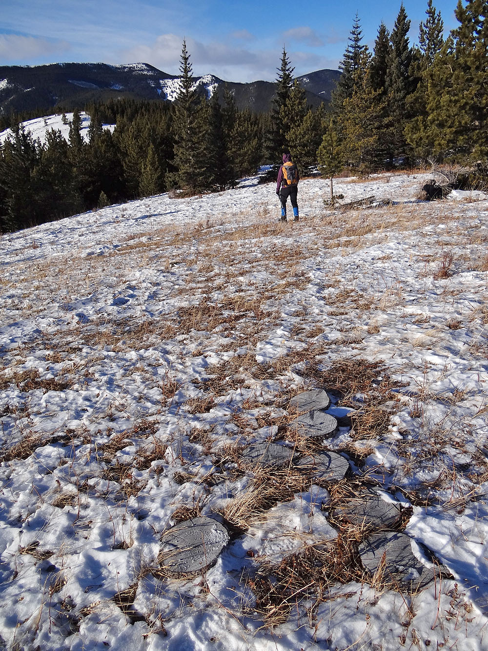
When we reached the centre hill, we were grateful to find it free of trees, affording us some good views. After looking around, we turned to the west hill. Even though it was treed, we felt behooved to reach it since it's the highest point on Mustang Hills. We picked up a blazed trail and followed it to the summit.
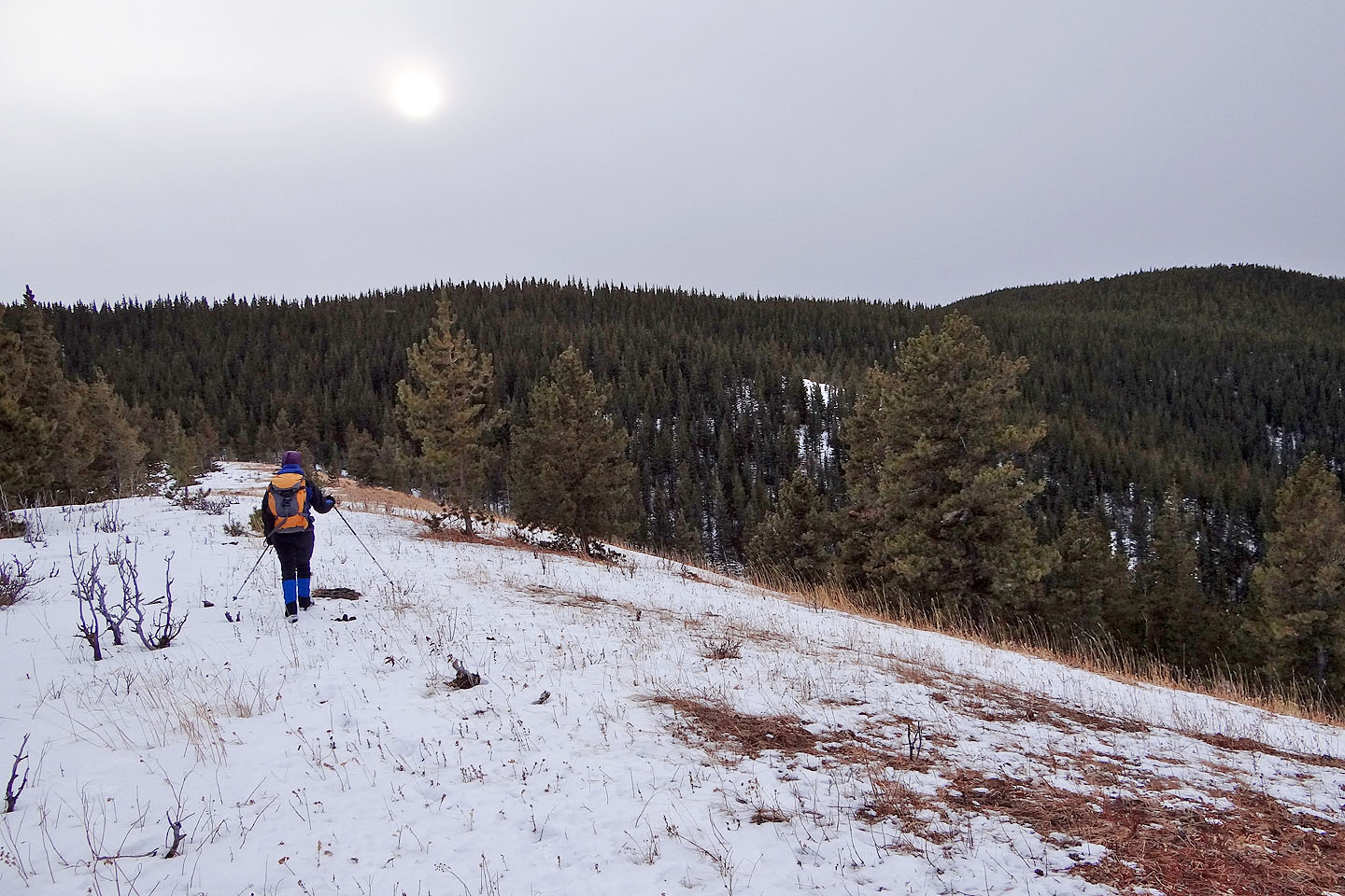
There was no reason to linger on the summit, so we headed back. When we returned to the open ridge, we were surprised to see a horse 200 m away at the other end, facing us. But as I reached for my camera, it turned and fled into the woods. We were thrilled as it was the first time we had seen a wild horse in this area.
As we walked back down the highway, we talked about returning to Mustang Hills in the winter, not only in hopes of photographing its wild horses but also to enjoy its solitude.
Mustang Hills ahead
We left the highway and set off for the open ridge above
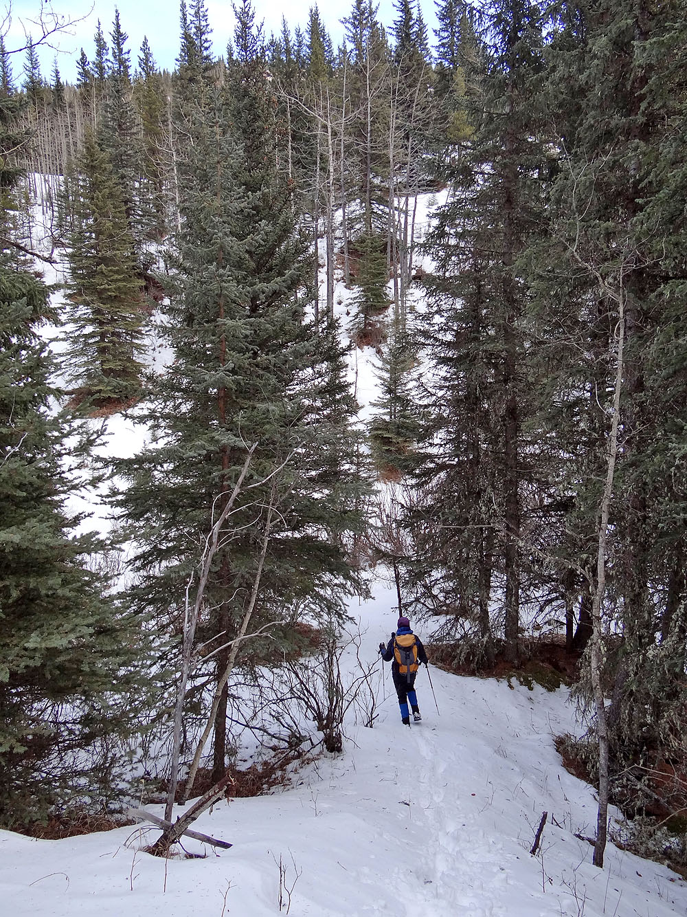
We lost some elevation before climbing
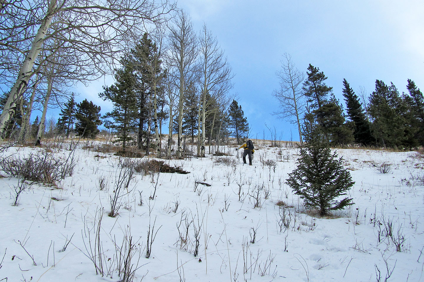
The trees thinned before we reached the ridge crest
Looking back
The centre hill is ahead while the west hill (summit) is right)
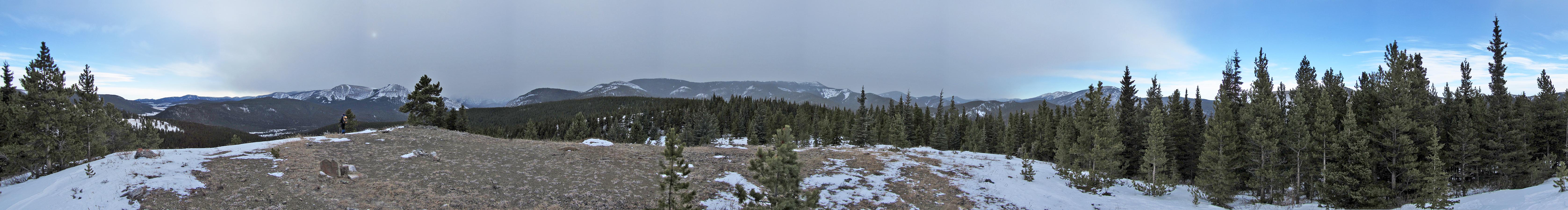
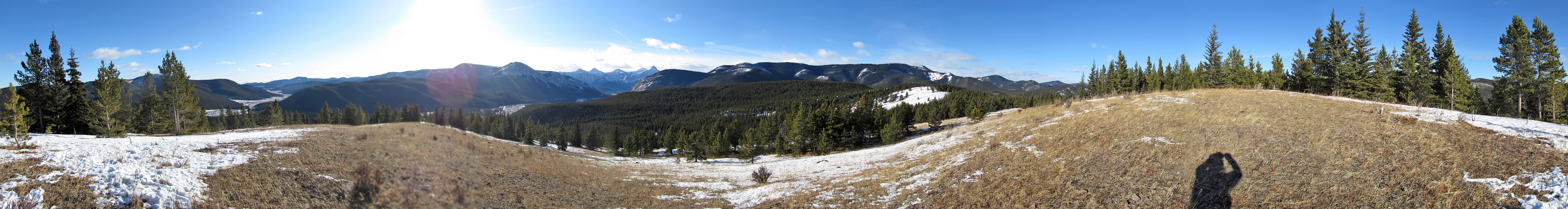
Panorama from a clearing
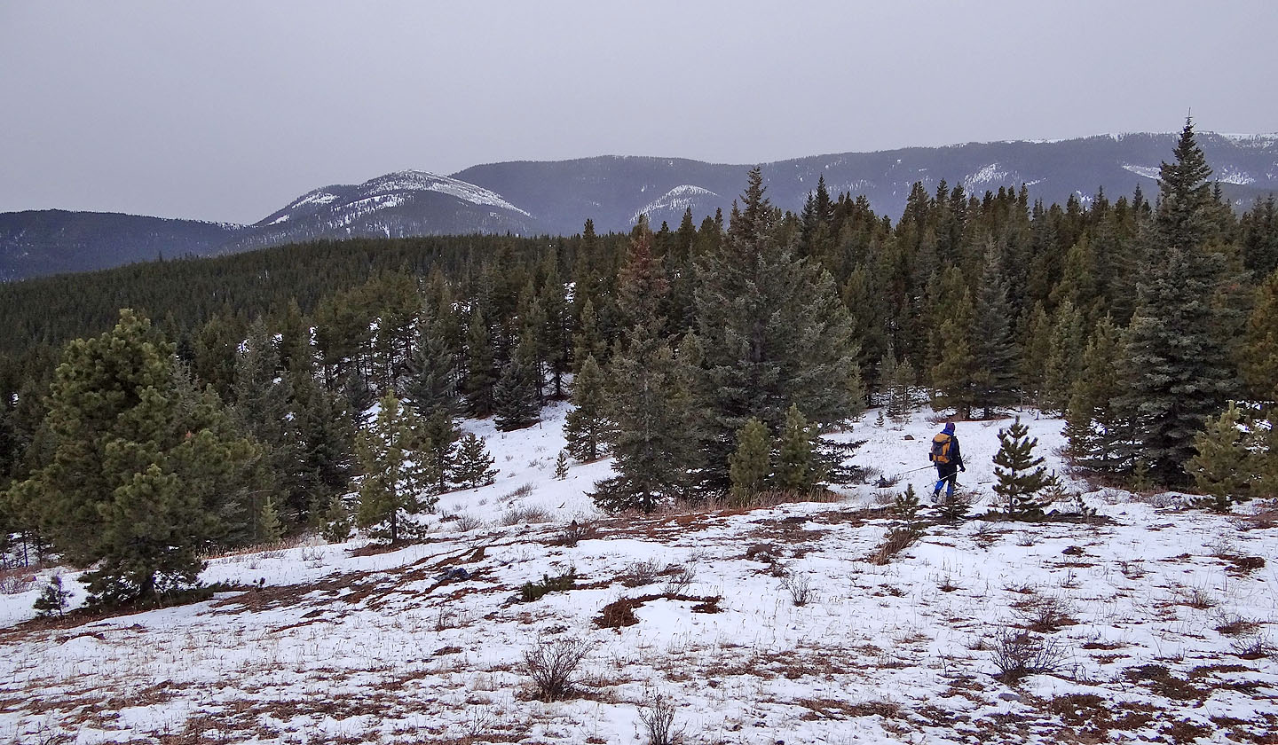
From the centre hill we headed to the west hill (left)
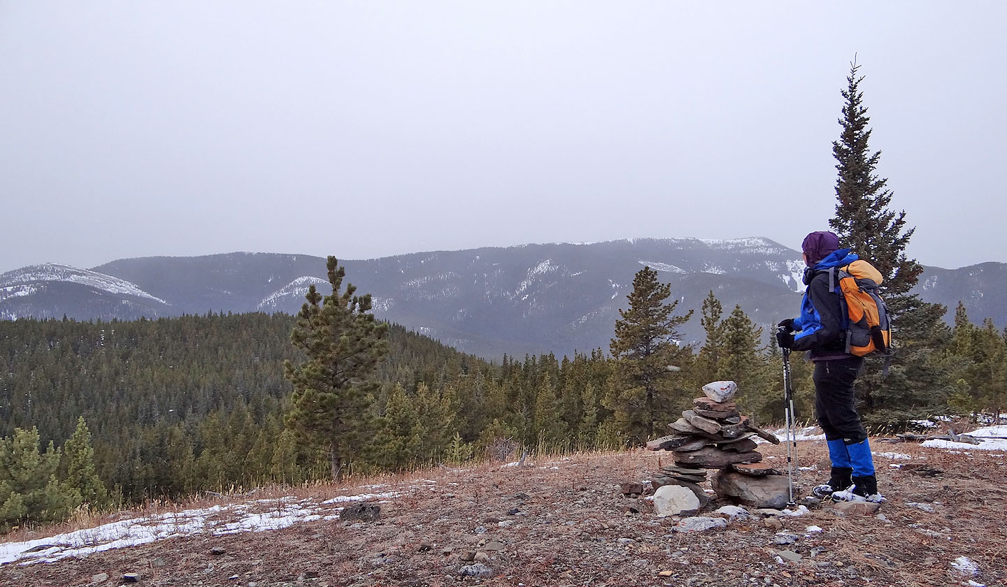
Eyeing the summit from an inuksuk in a clearing
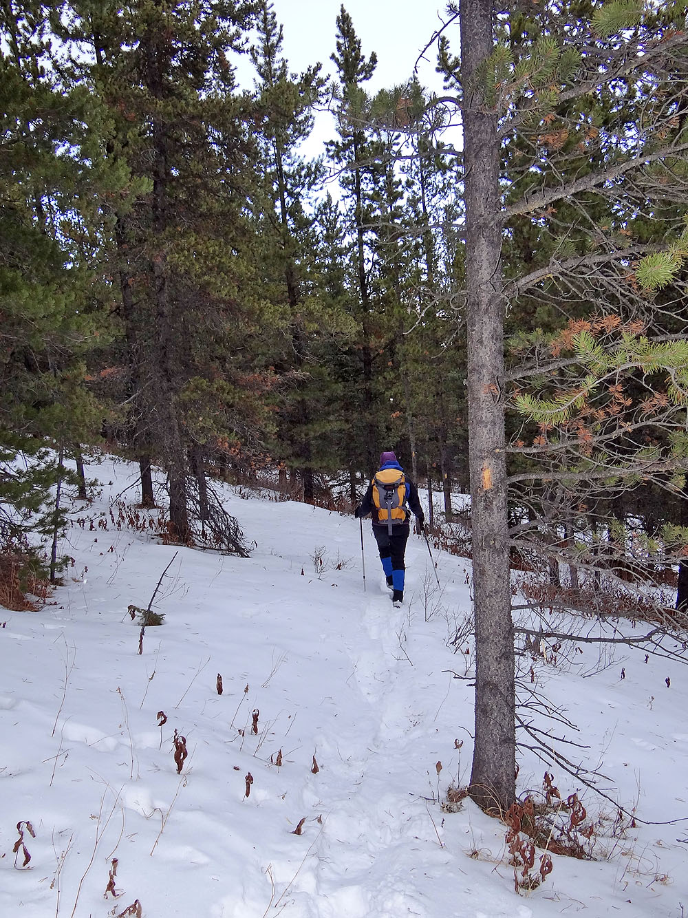
We followed a blazed trail to the summit
The summit
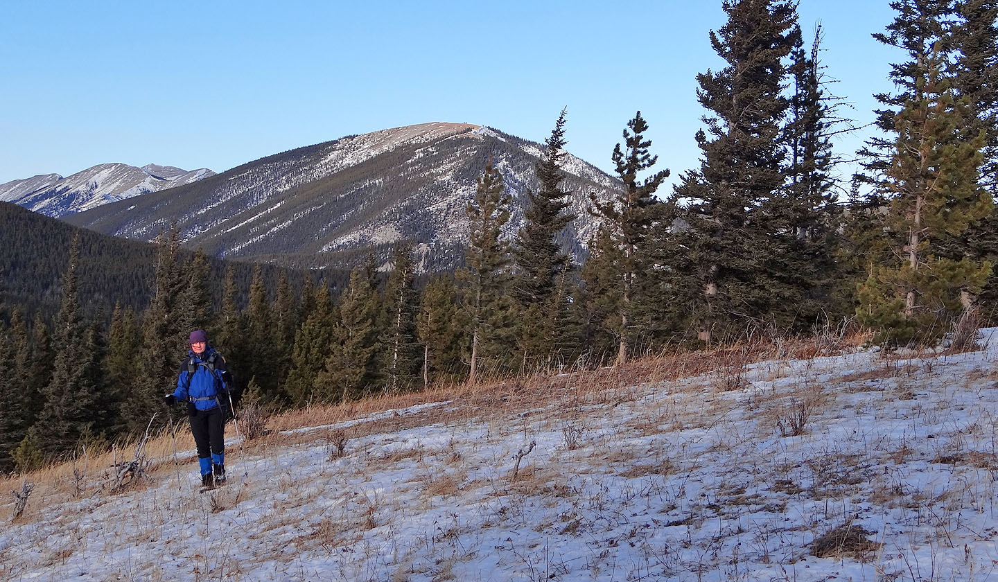
Prairie Mountain in the background
Powderface Ridge on the left
An arrow points the way?
Looking south from the centre hill at the east hill. Swany's and Quirk Ridge in the background.
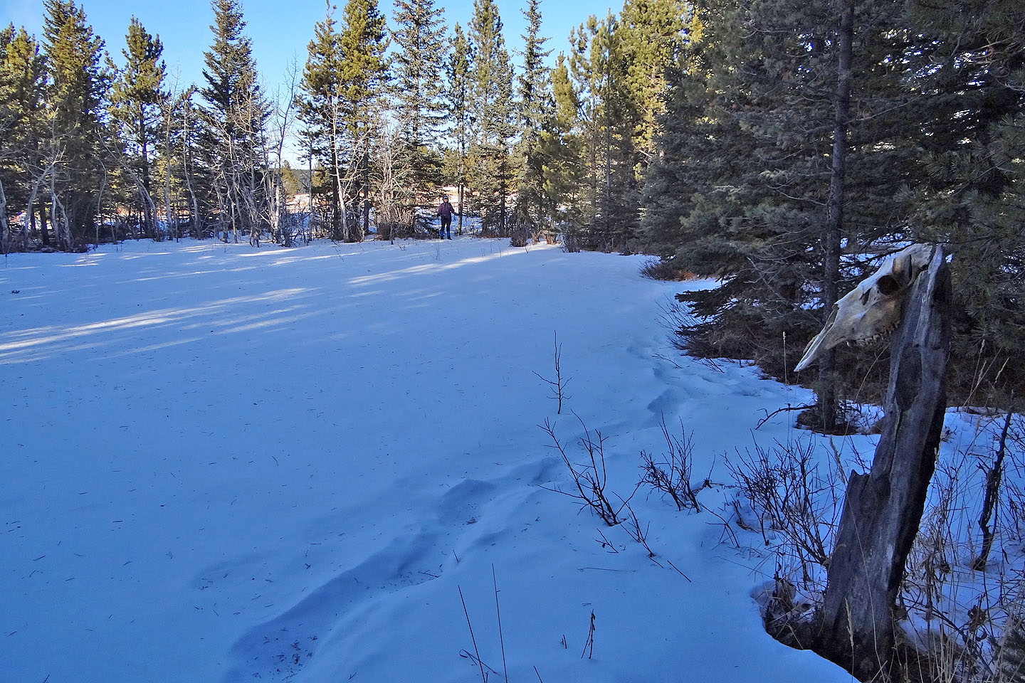
A horse skull overlooks the pond north of the centre hill
82 J/15 Bragg Creek