bobspirko.ca | Home | Canada Trips | US Trips | Hiking | Snowshoeing | MAP | About
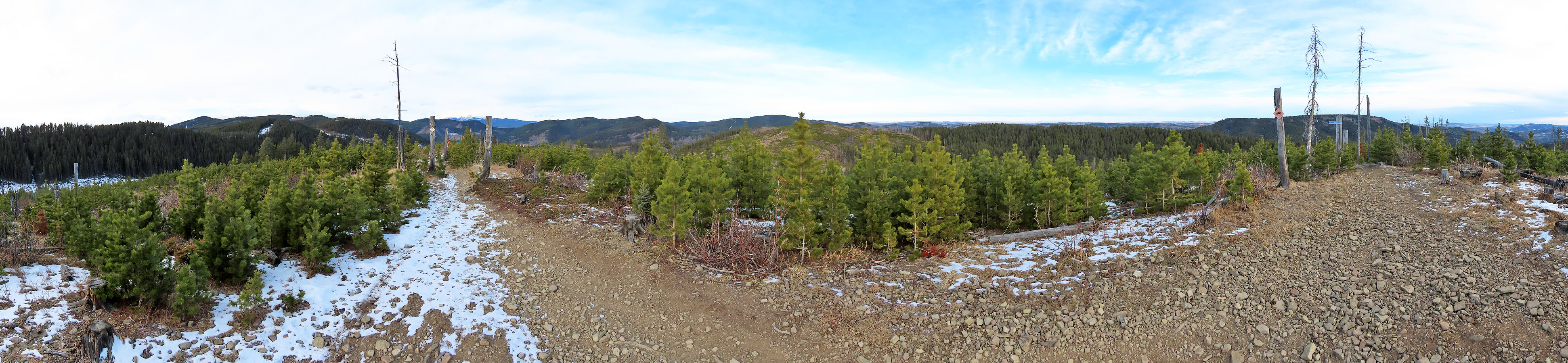
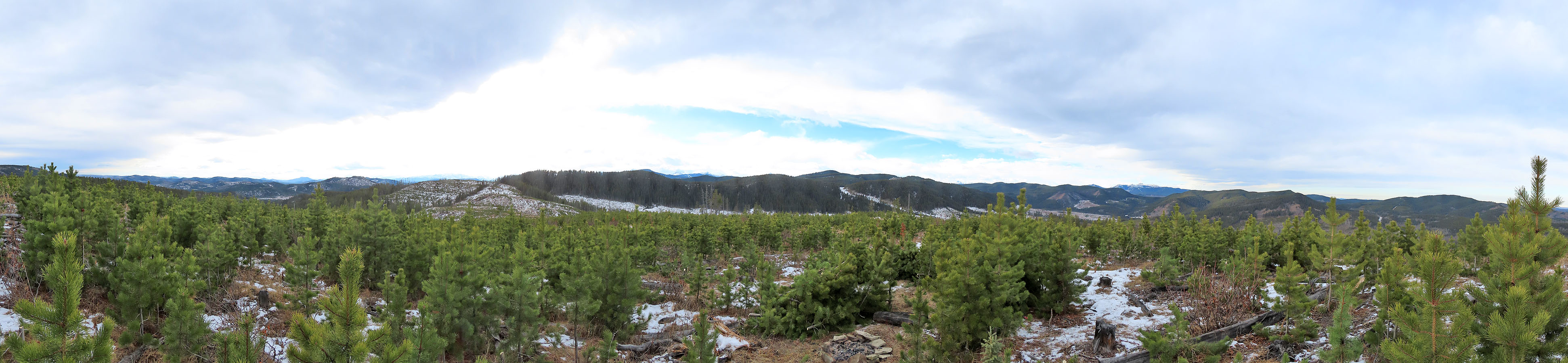
Panorama looking north from the second hill
Barwell East Hills
Kananaskis, Alberta
December 2, 2023
Distance: 8.2 km (5.1 mi)
Cumulative Elevation Gain: 352 m (1155 ft)
Sonny and Zosia invited Dinah and me to hike three low hills east of Mount Barwell. These pleasant, little bumps are within easy reach of roads and trails. They offer plenty of views as logging had levelled most of the area, and young trees had yet to re-establish a forest.
From Fisher Creek OHV staging area, we set off in a counterclockwise loop. From the upper parking lot, we walked to Hwy. 549 and ambled 1.3 km down the gravel road before turning onto the gas well road. We continued another 700 m to reach the edge of a small cutblock where we caught sight of our first hill. We stepped off the road and finally started hiking. After crossing the cutblock, and after some light bushwhacking, we came to a cutline trail. We followed it briefly before turning onto a dirt bike trail. We followed the trail before leaving it to reach our first summit. It was the lowest of the three hills, but it gave the clearest view from the top as few trees had yet taken hold here.
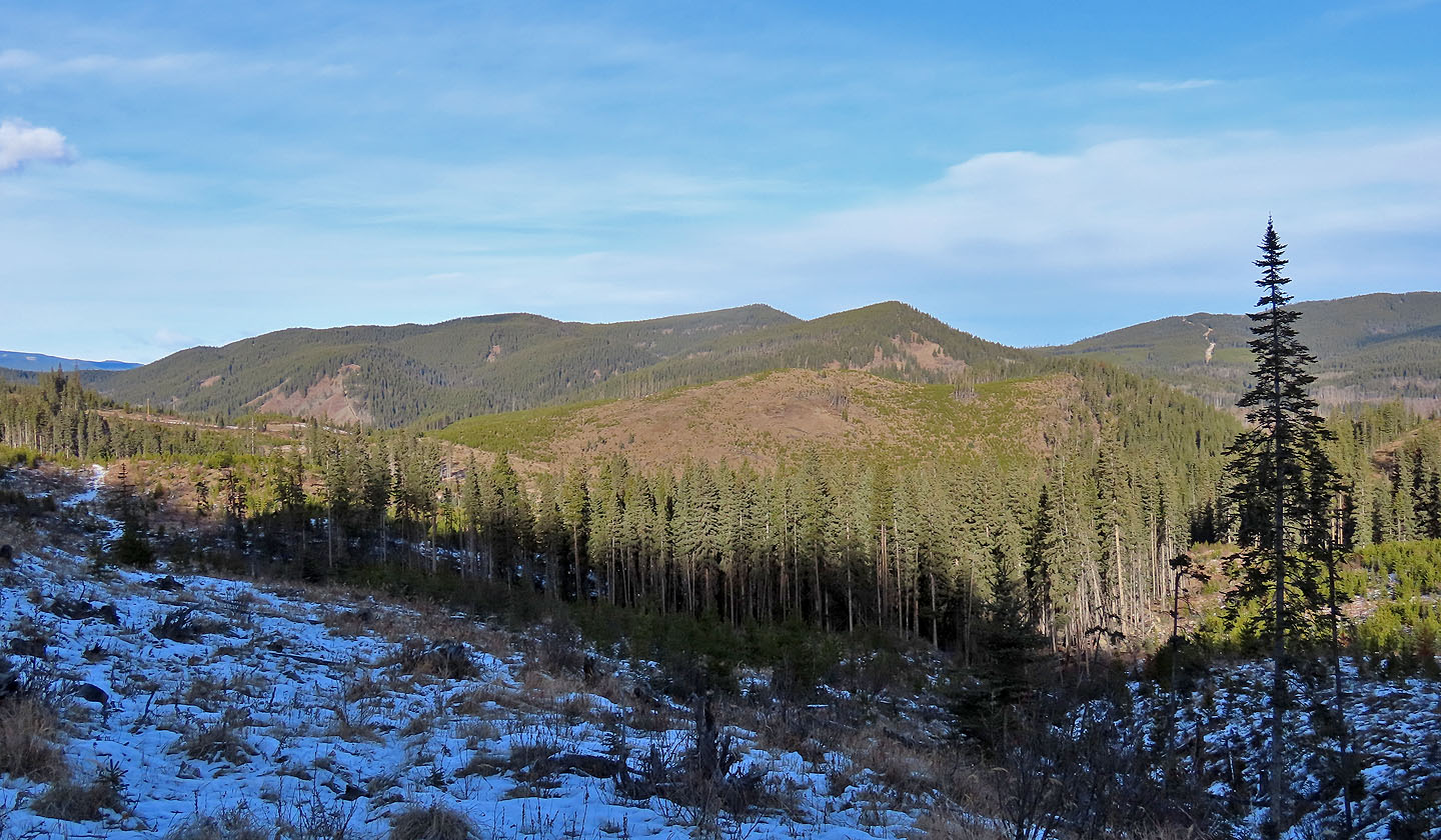
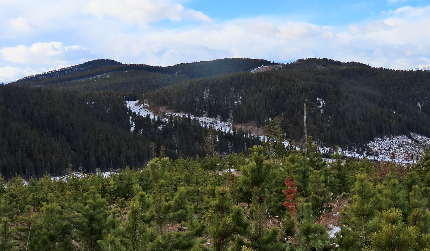
We dropped down the other side of the hill and hit our next path, sketchy and bushy in spots, but serviceable. It ran straight to our next point, the saddle south of the ridge bearing our next two hills. From the saddle, we caught another dirt bike trail, Barwell Summit Trail. We followed the trail to the second and highest hill – the top of First Ridge. Short trees populated the summit, but we could see our next goal 700 m away: Hill 3.
We followed the trail as it dropped down and climbed the third hill, just a few metres lower than the second hill. Here too, short trees interfered with the view. We took a break sitting on a log in the cold, before continuing down the trail to East Ridge. We followed the trail as it entered a forest. At a signed junction, we turned left and descended switchbacks to a road leading back to the parking lot, finishing our little trip in good spirits.
KML and GPX Tracks
Sonny's Trip Report
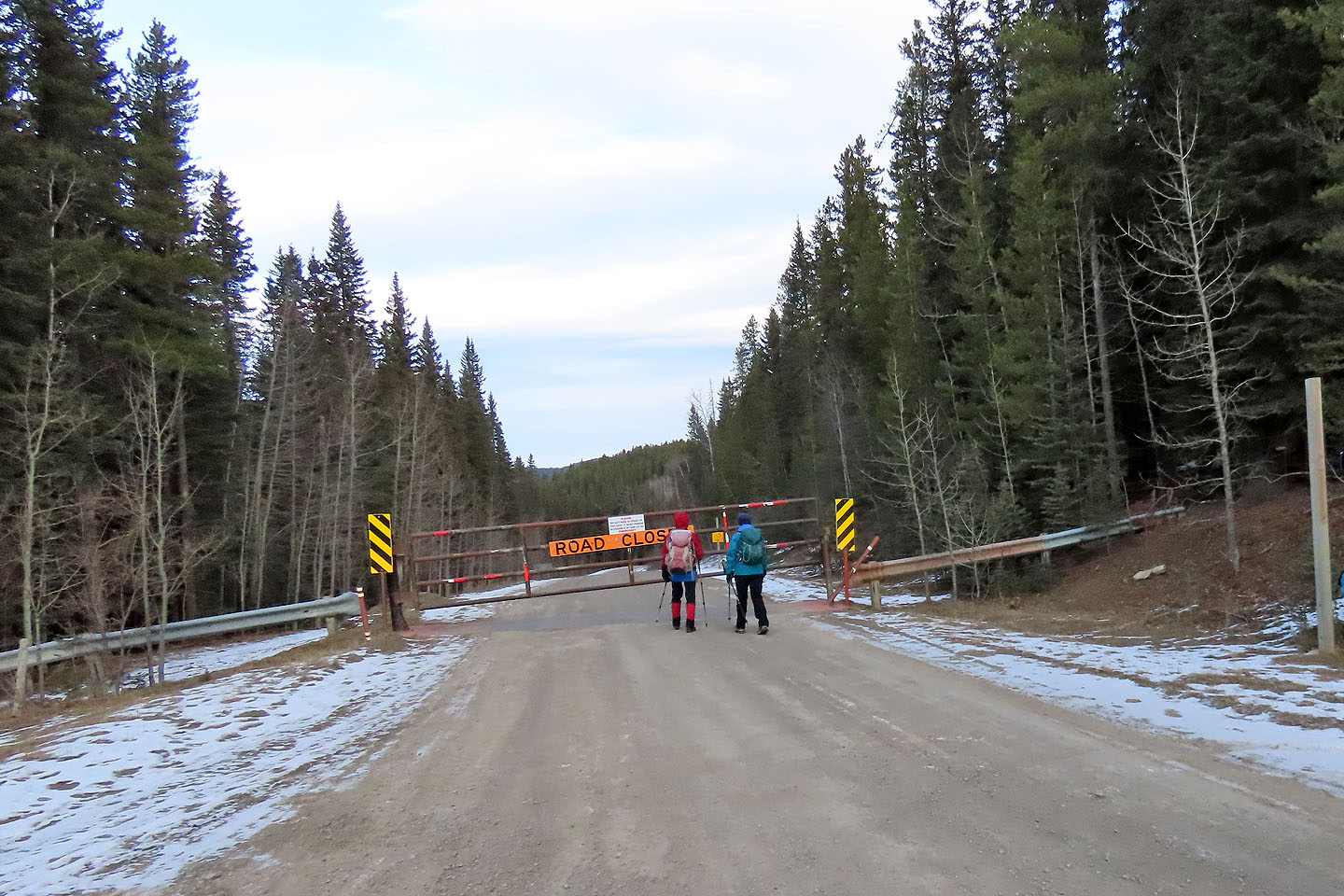 Starting down Hwy. 549 (McLean Creek Trail) at the seasonal gate
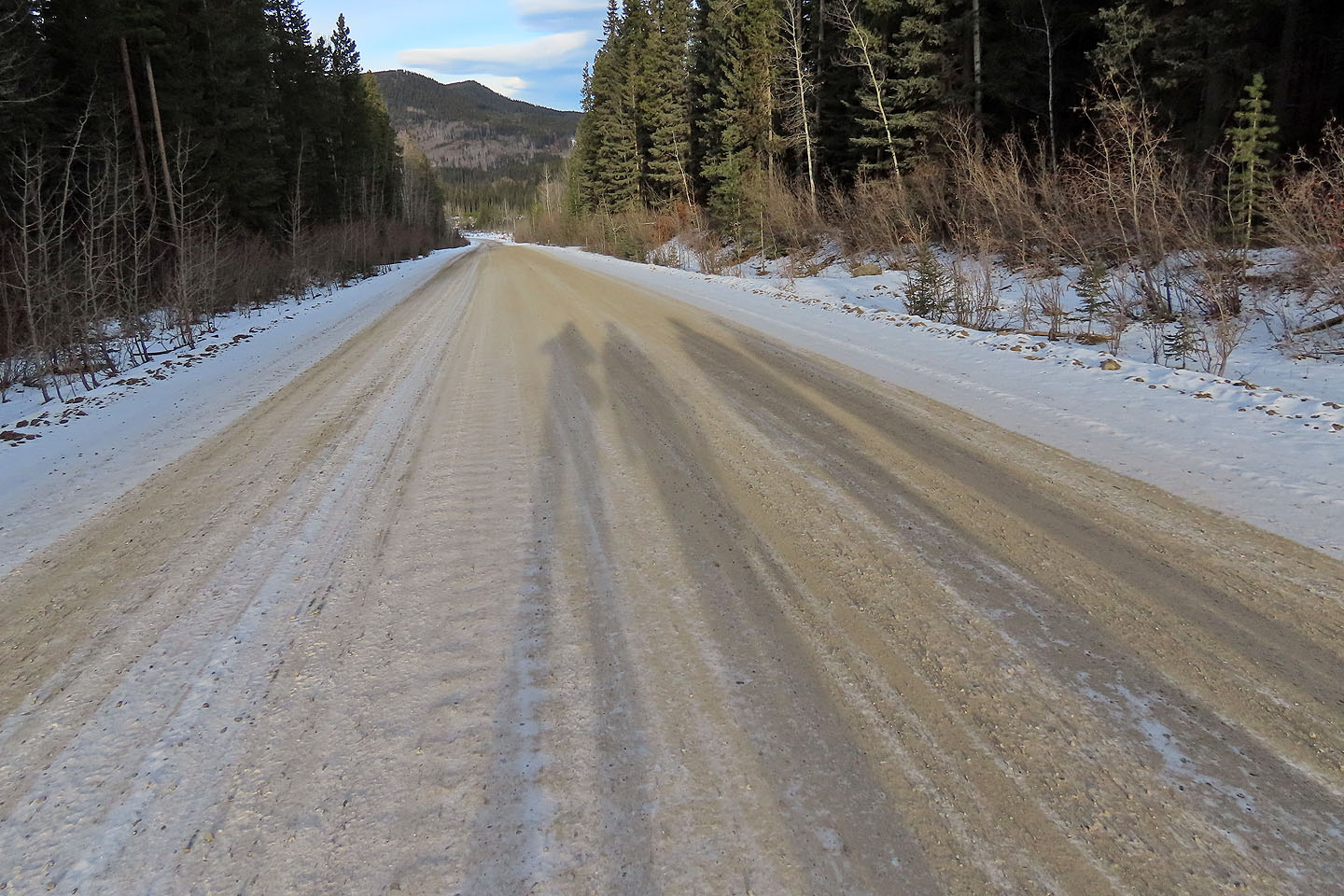 We cast long shadows as we walked down the road, losing 80 m of elevation
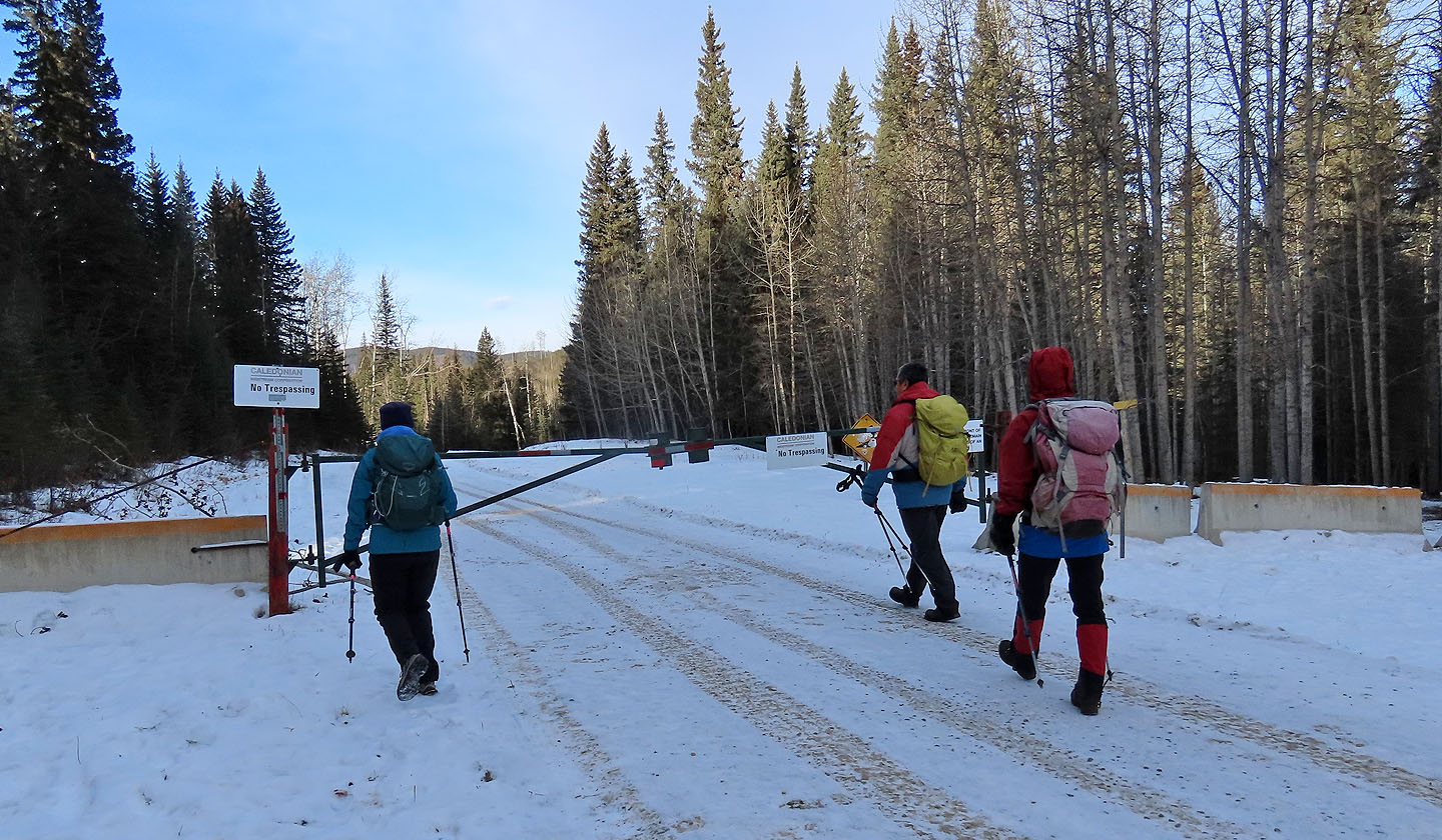 1.3 km from the the seasonal gate, we turned onto the well road. We ignored the "No Trespassing" sign as I learned from a serviceman that hikers are allowed (see my Mount Barwell trip).
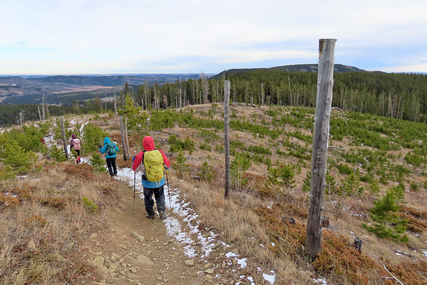
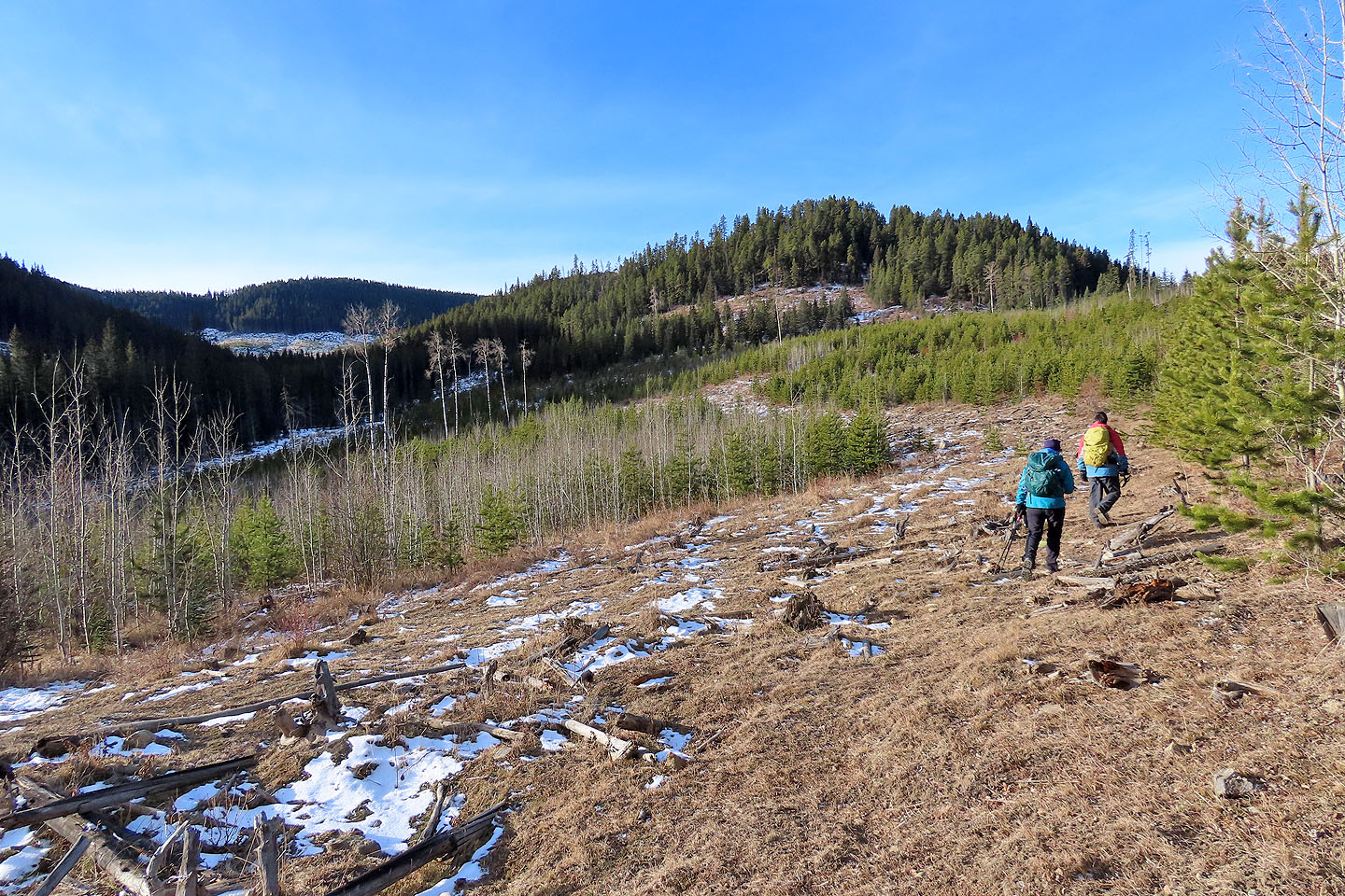 After stepping off the well road, we headed to the first hill
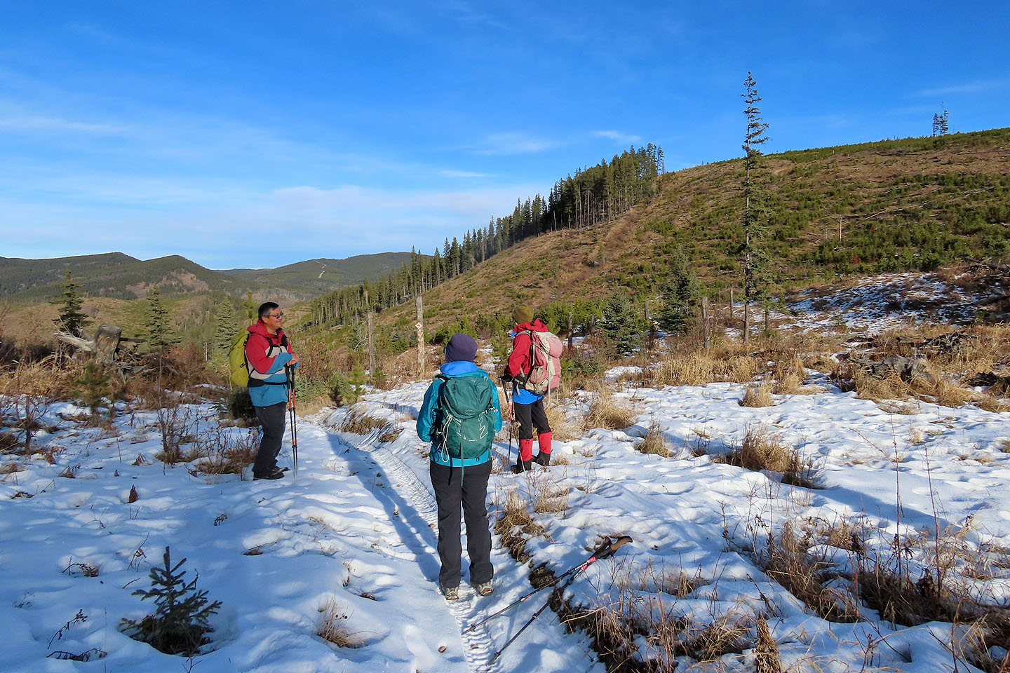
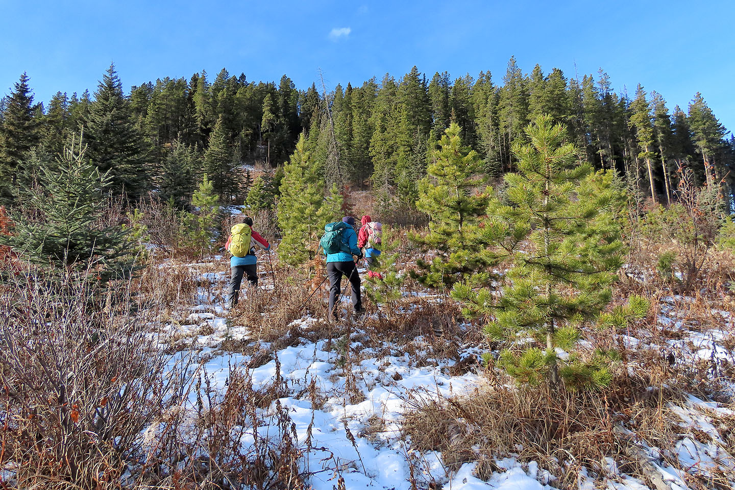 We made our way to the first trail
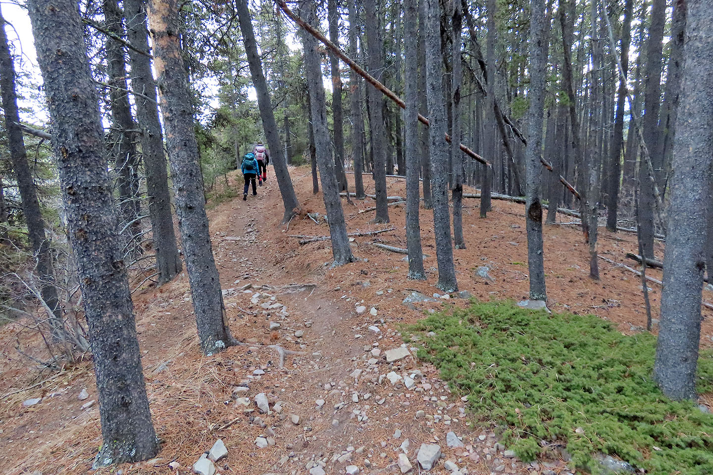
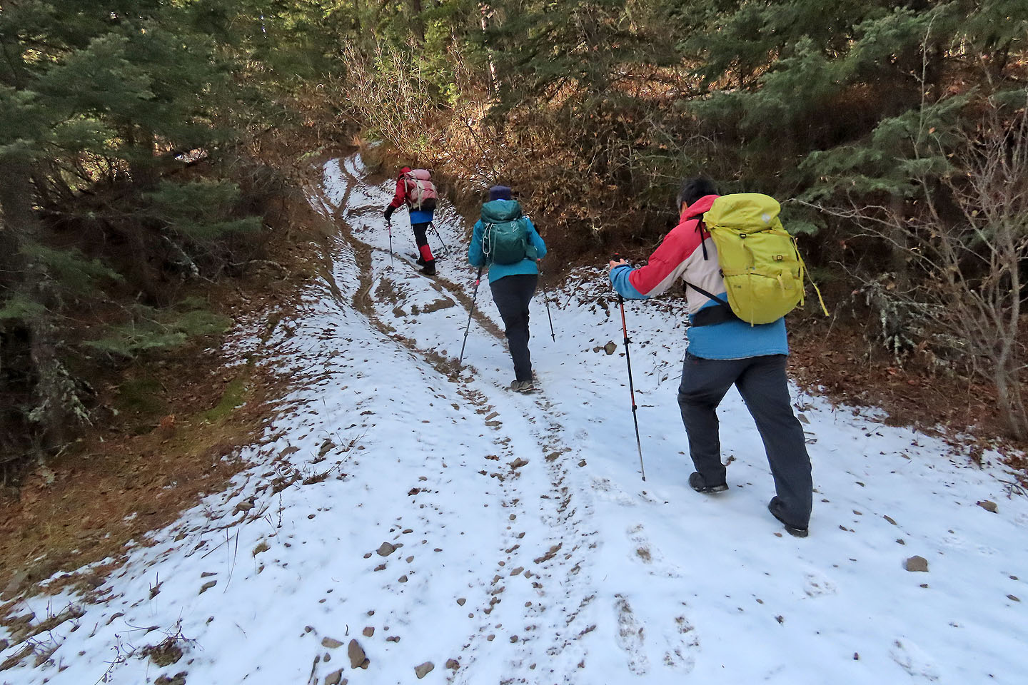 Going up the dirt bike trail
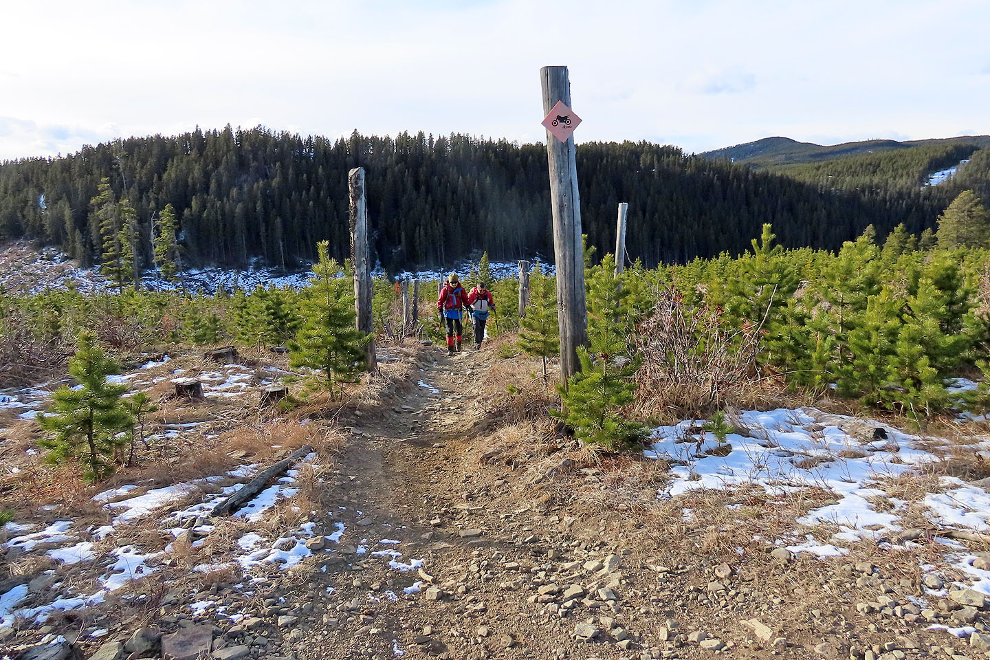
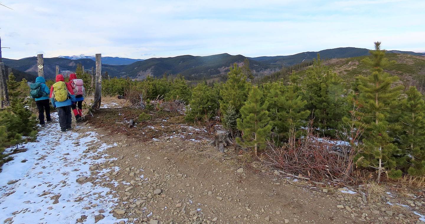
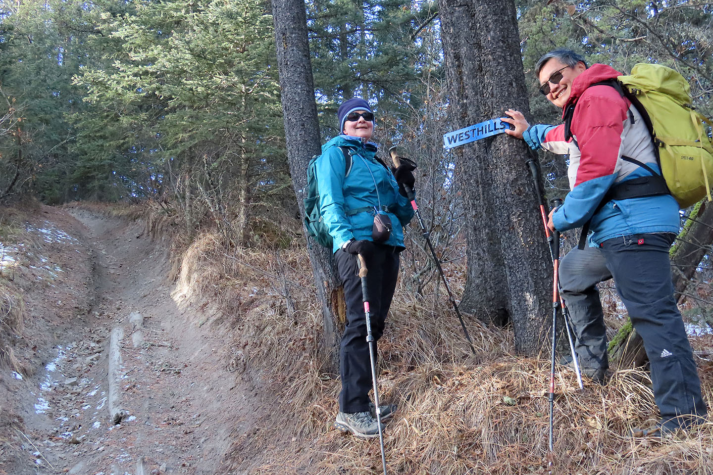 Apparently we're on the West Hills trail
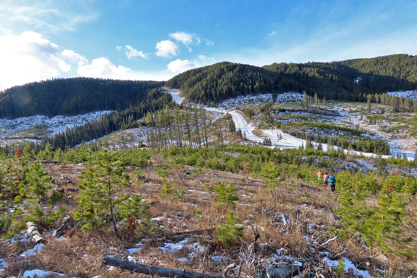
 From the first hill, we saw hills 3 and 2 as well as the saddle we'll reach
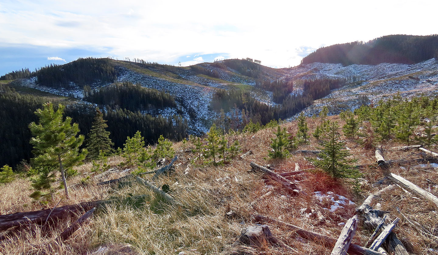
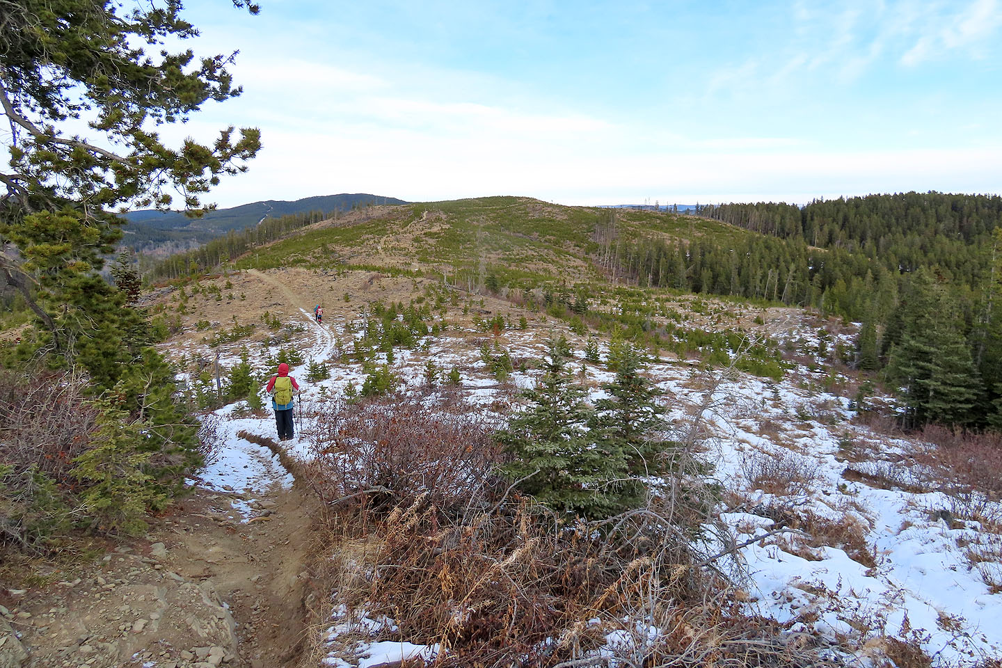
 Panorama from the first hill
 Heading down to our next trail
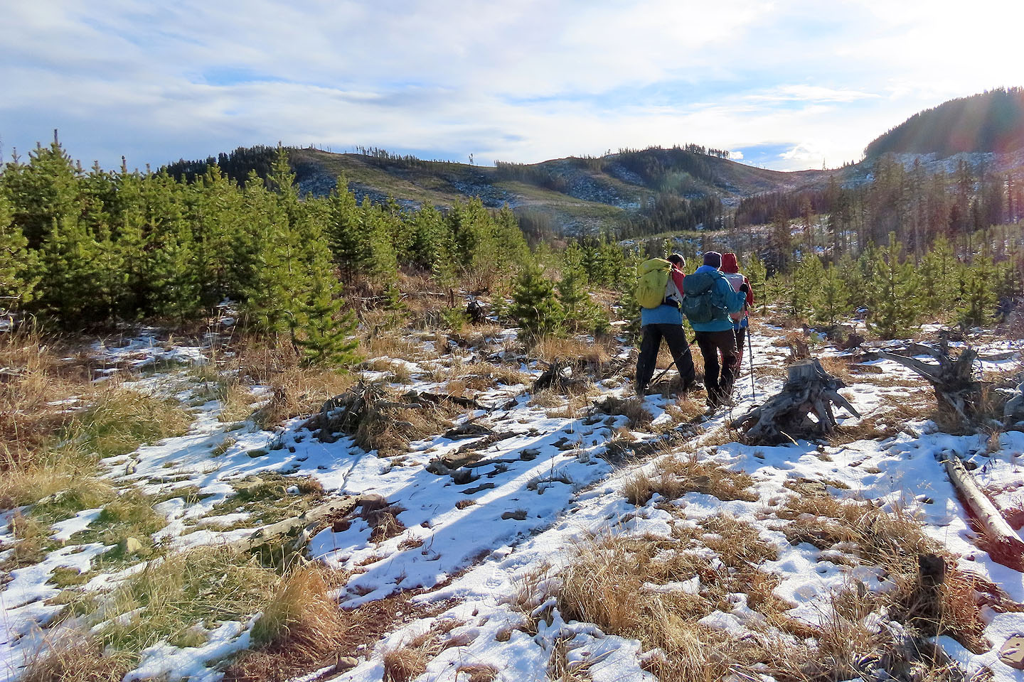 At the bottom of the hill, we started on a sketchy trail that will take us to the saddle in front of us
 Looking back at the first hill
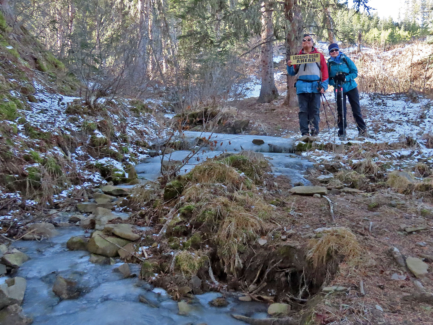 The first of a few frozen streams that we crossed. Sonny holds a sign that was on the ground.
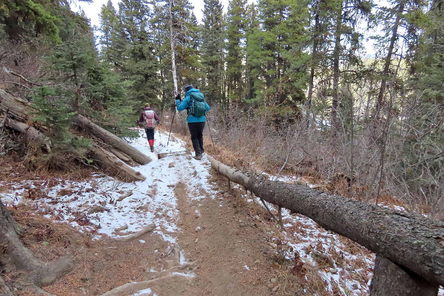
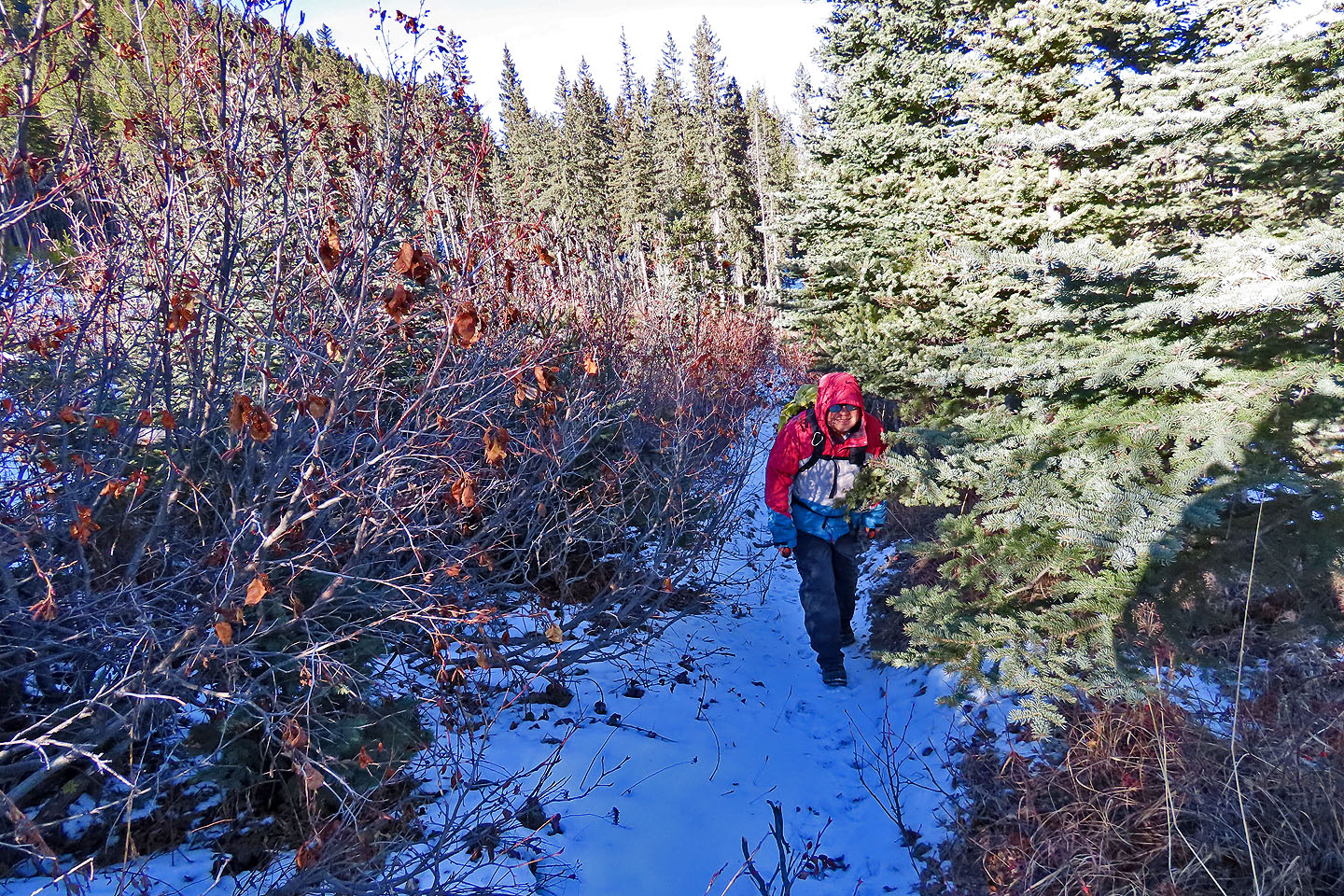 Sonny pushes through foliage on a tight trail
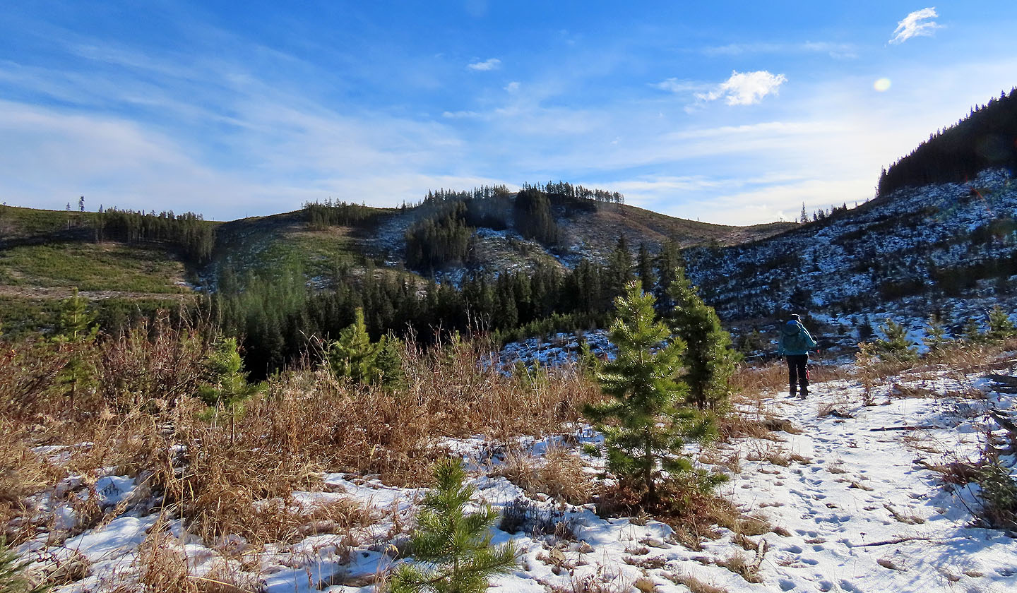 The saddle appears ahead
 Looking back: the first hill fills the centre. The bump on the left with the bare slope is Dave's Ridge. Far right is Whiskey Hill.
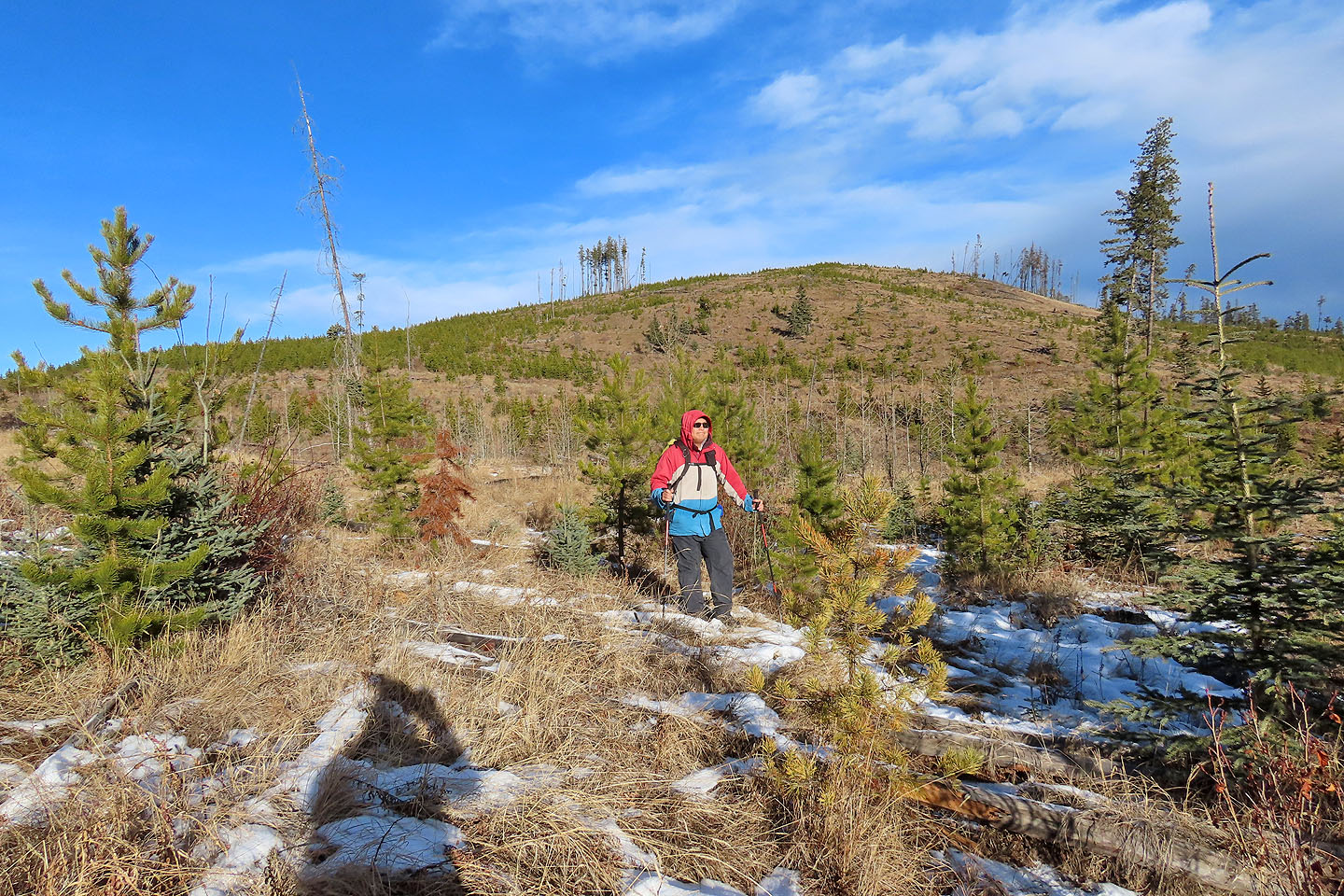
 Pausing on the saddle. The trail switchbacks up the slope on the right.
 Zosia and Sonny will soon join Dinah and me on top of the second hill
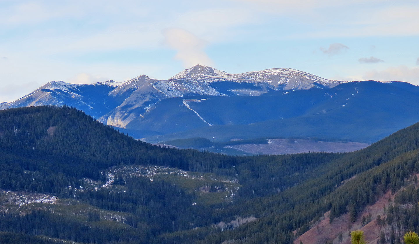
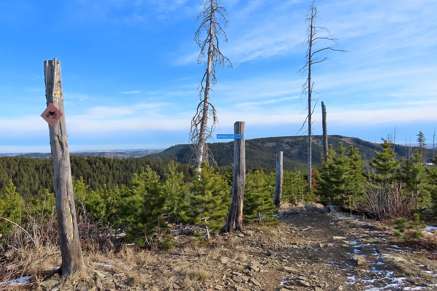 The signpost says BARWELL 1ST RIDGE. Mesa Butte in the background.
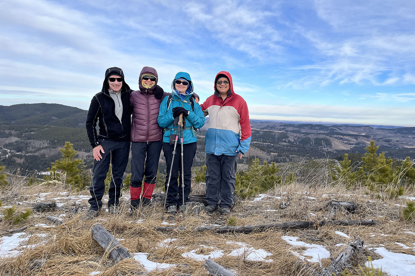
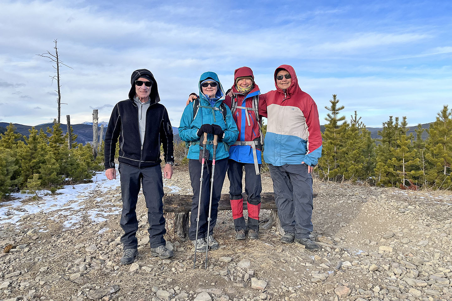 Standing on the second Hill
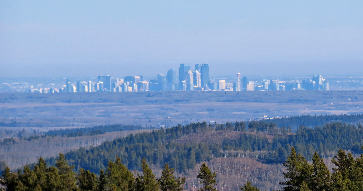 We had a clear view of Calgary 48 kilometres away
 We continued along the trail to hill 3 seen right
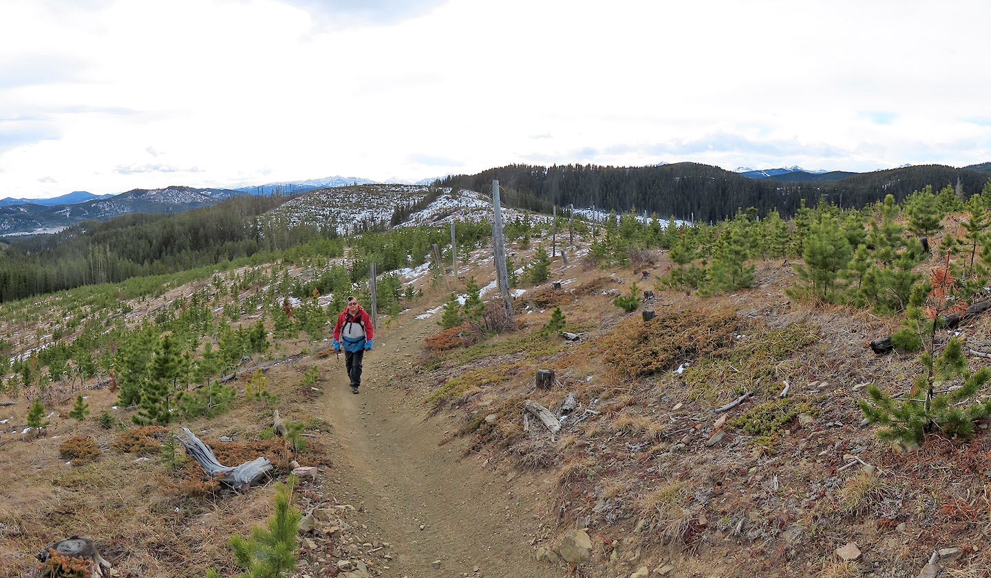
 The trail meanders to the third hill
 Looking back at hill 2 from hill 3
 Posing on hill 3
 Summit views were limited due to young trees
 We followed the trail to the forested East Ridge
 We hiked East Ridge a short distance to the switchbacks
 Going down one of the switchbacks
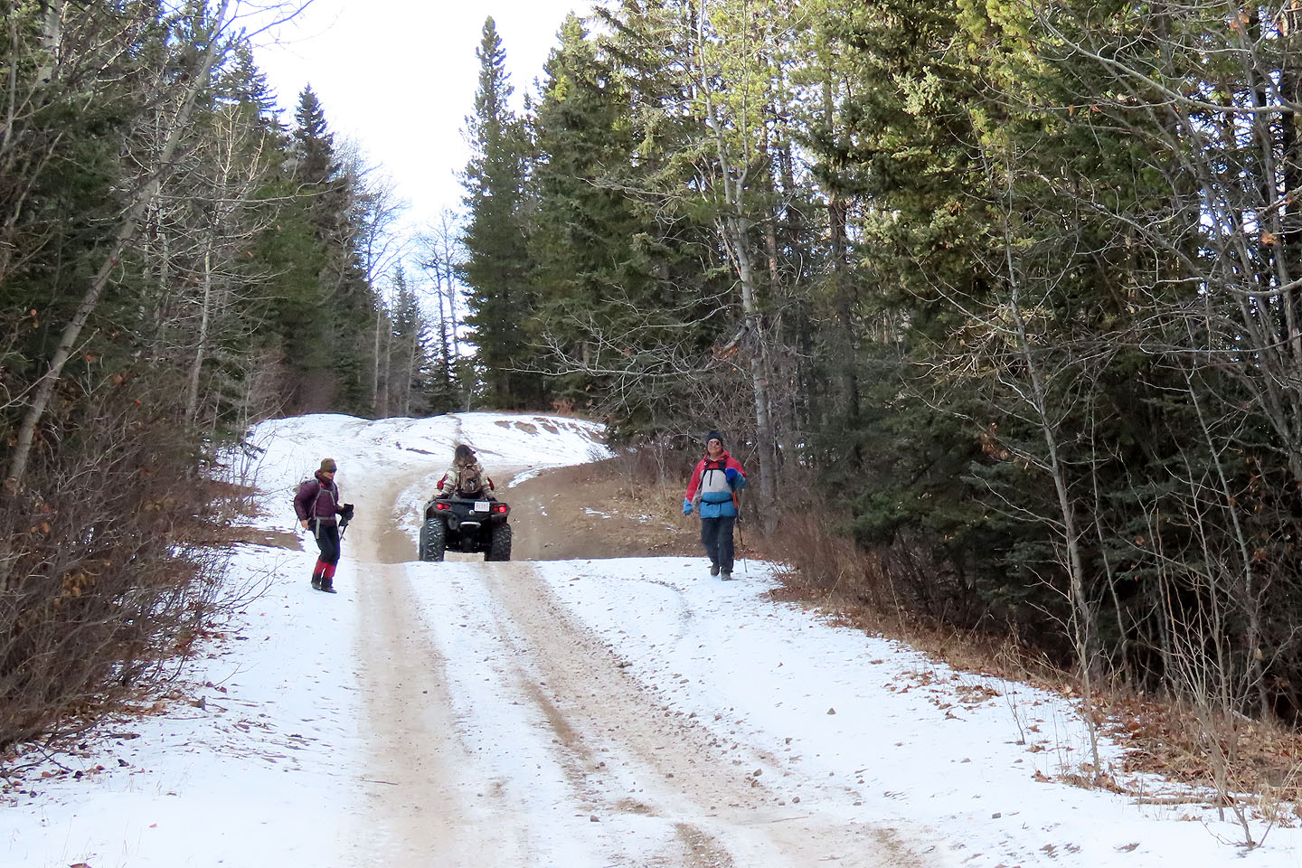 An ATV passes Zosia and Sonny on the road back to the parking lot
 82 J/15 Bragg Creek