bobspirko.ca | Home | Canada Trips | US Trips | Hiking | Snowshoeing | MAP | About
Hunchback Hills
Kananaskis, Alberta
June 20, 2020
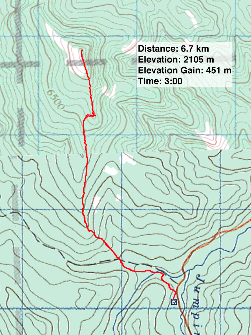
Distance: 6.7 km (4.2 mi)
Cumulative Elevation Gain: 460 m (1509 ft)
Having enjoyed the short hike to the highest point in Hunchback Hills in 2016, I returned with Dinah and Zora who hadn't done it. But four years later, all is not well in these hills.
The first sign of this is at the start. I was expecting to see the trailhead for Lusk Pass but instead found a new logging road. After walking up the road 100 m, we found Lusk Pass trail where the road cuts over it.
The trail after the logging road was still pristine, unaffected by logging. But after we turned onto the side trail for Hunchback Hills, we had to cross the logging road. Following flagging, we got back on the trail as it briefly edges a cutblock. After that, we were back in the woods. We followed the path easily at first, but later, where the trail became indistinct, we looked for flagging to keep on track.
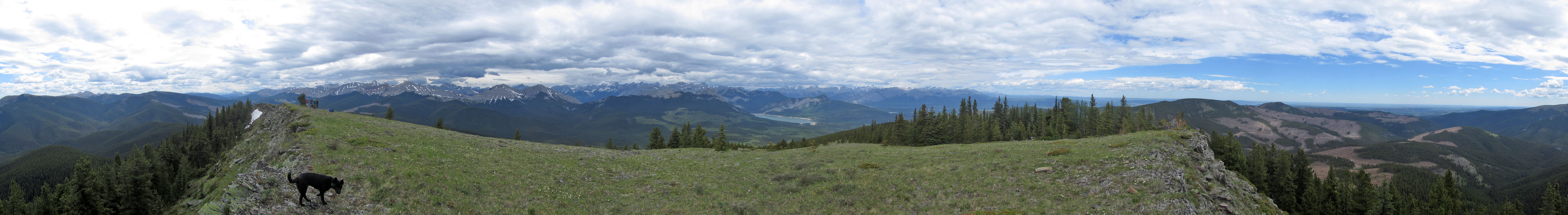
The trail ends on the grassy summit ridge. As we strolled to the summit, we took in the views. The gray peaks to the west looked as majestic as ever, but the hills east had been ravaged by loggers, much of the slopes stripped of trees. Thankfully, the high point of Hunchback Hills where we stood had been spared.
At the summit cairn, we fell into conversation with two guys there. One of them, Jay, is an avid scrambler and had climbed with Sonny, so we had something in common with him. After they left, we soon followed, going back down the trail.
I was shocked to see Hunchback Hills is now mostly devastated. What was once a quick getaway to experience nature is now a hike to view a spoiled landscape. I count myself lucky to have seen it before it was ruined. I have a hunch, I won't be back.
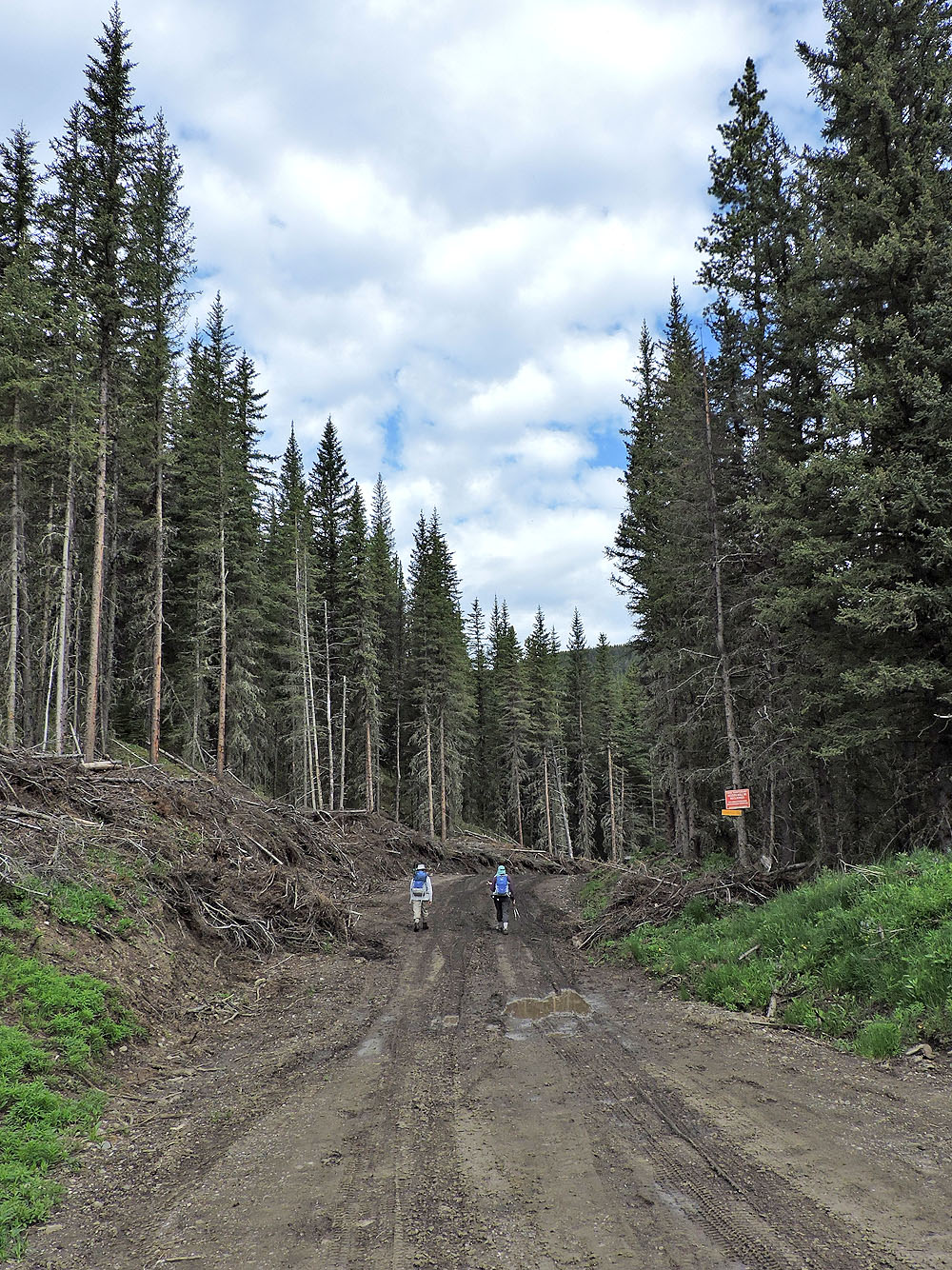
We mistakenly started up the logging road. The trailhead is another 30 m down Powderface Trail.
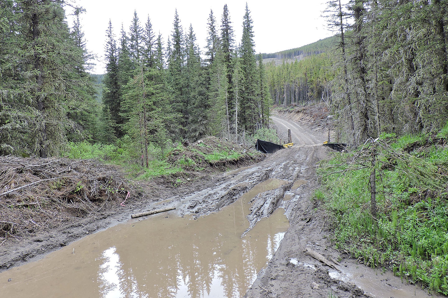
Just before a bridge, the road intersects the Lusk Pass trail
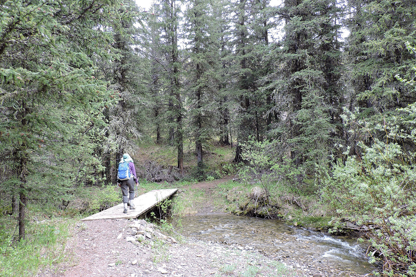
After getting on Lusk Pass trail, we soon crossed a bridge
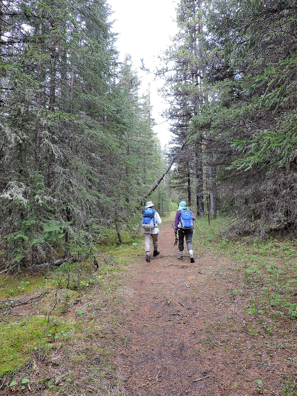
Lusk Pass trail appears undisturbed, but the logging road is nearby
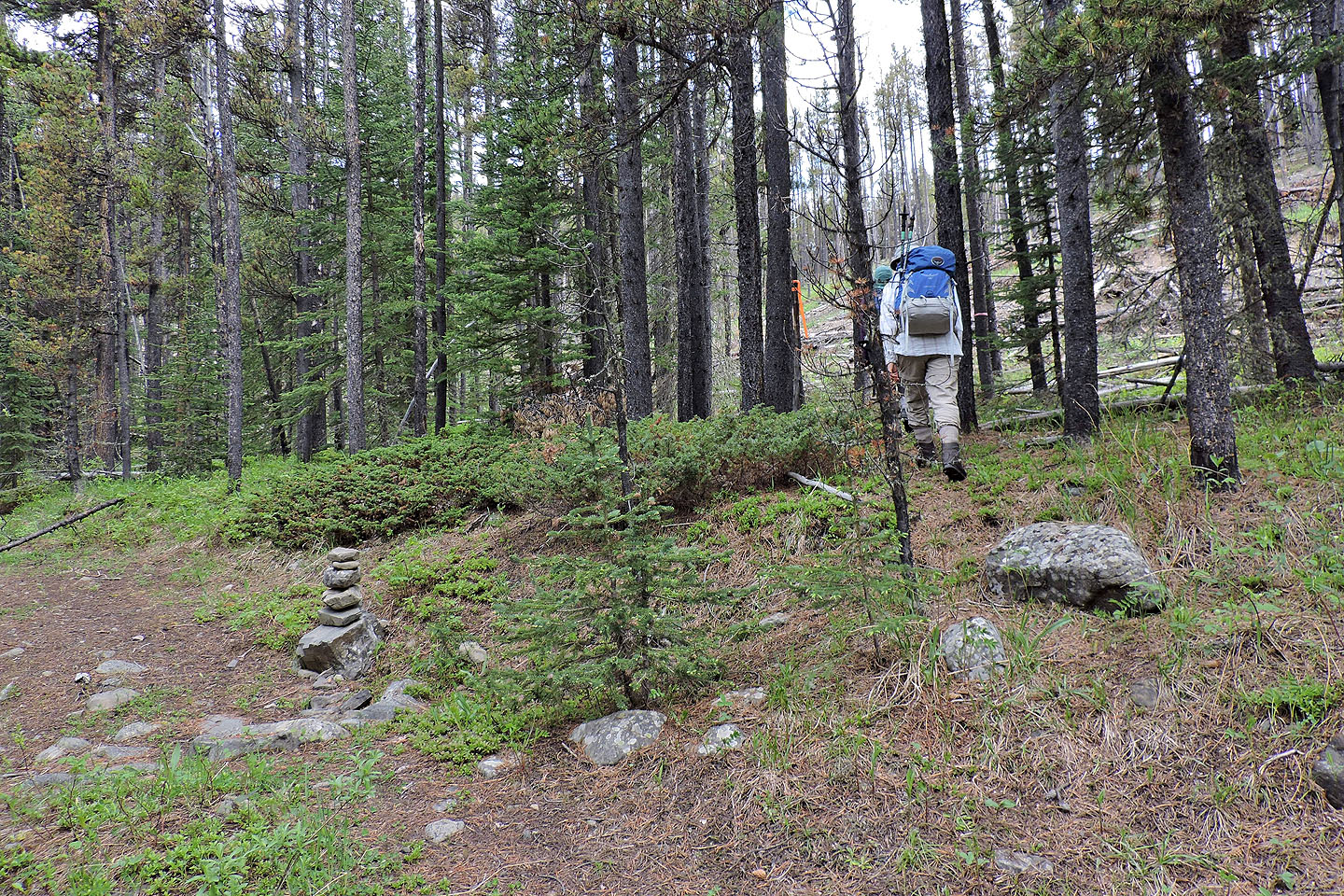
After hiking 800 m from the trailhead, we left Lusk Pass trail and started up the trail for Hunchback Hills
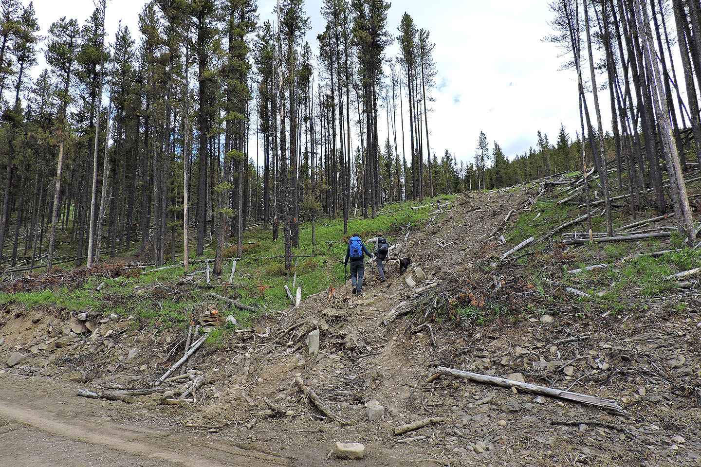
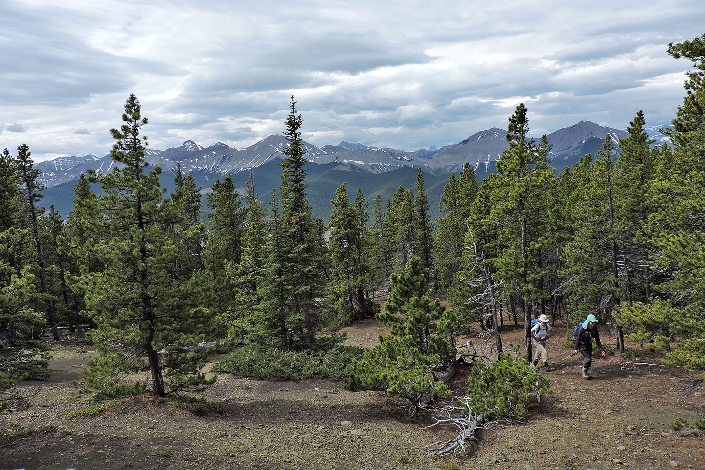
After crossing the logging road, the trail continues on the other side
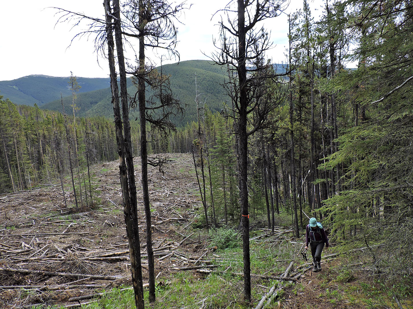
The trail briefly follows the edge of a cutblock
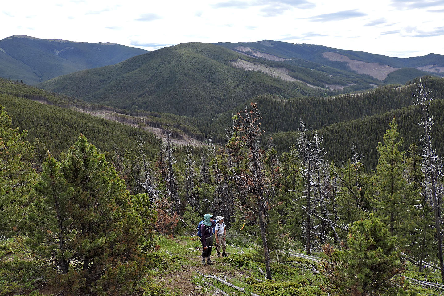
Cox Hill is left. Jumpingpound Ridge now bears scars from the logging industry.
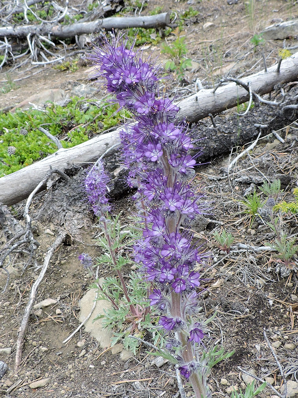
Silky Scorpionweed
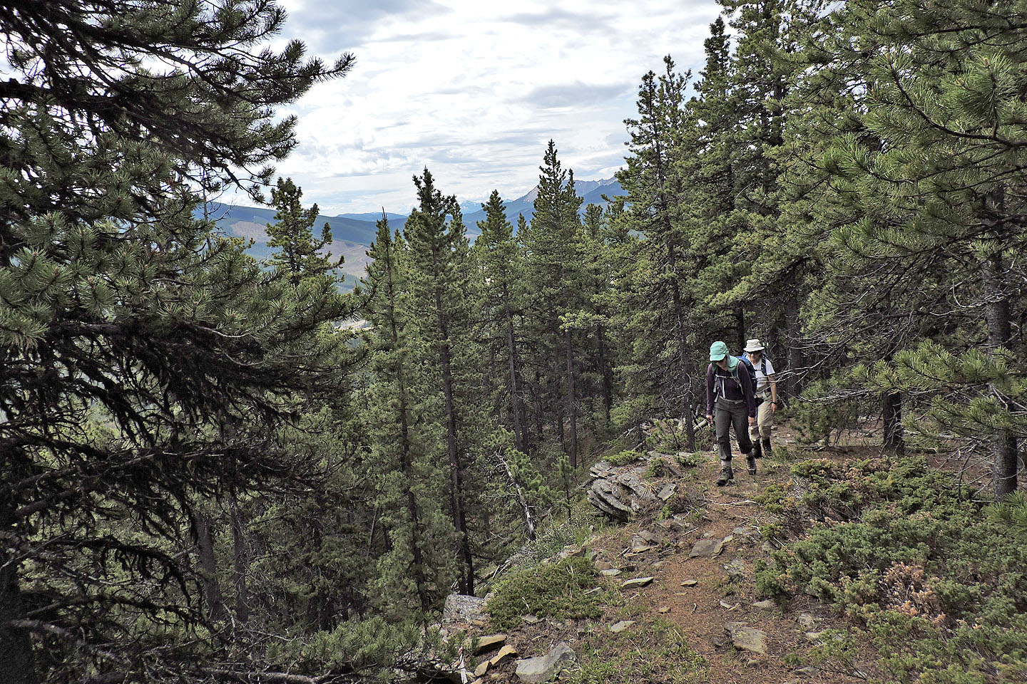
For a while, the trail follows a minor cliff band
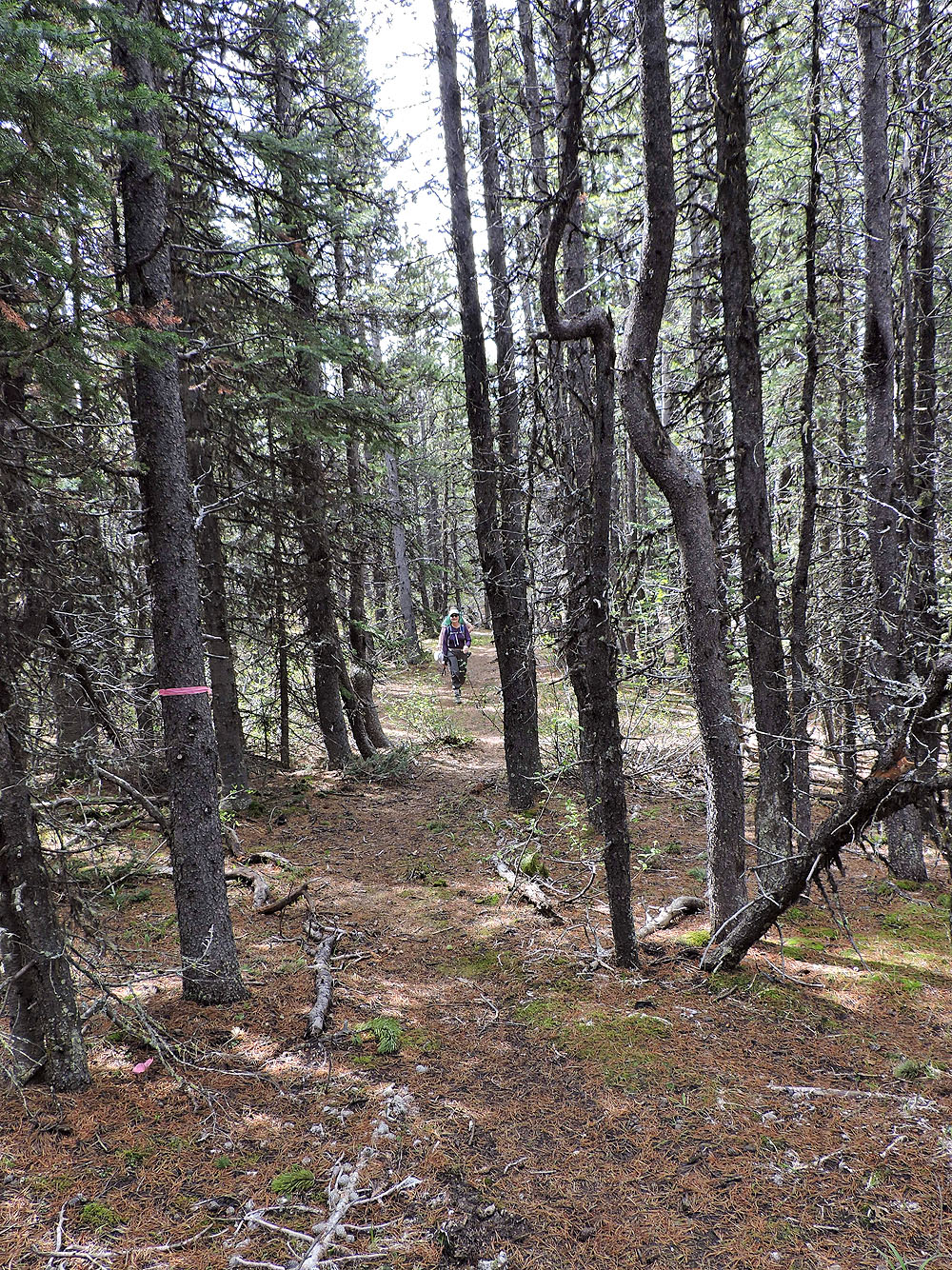
Flagging along the trail
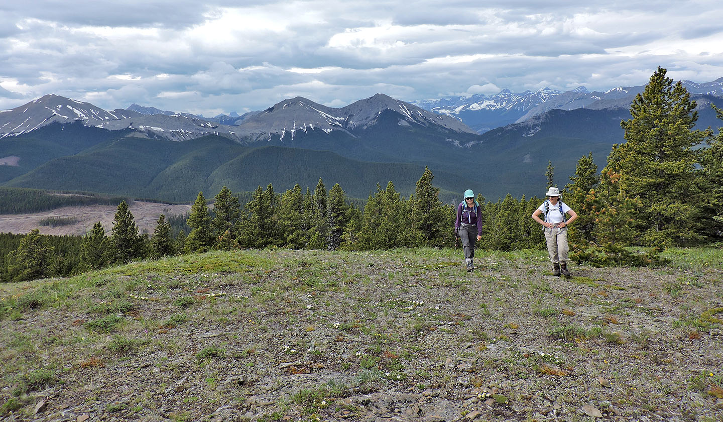
We began to see peaks to the west
Boundary Peak, Midday Peak and Midnight Peak seen from a viewpoint
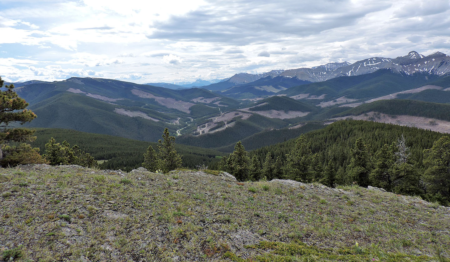
The view south is spoiled by recent cutblocks
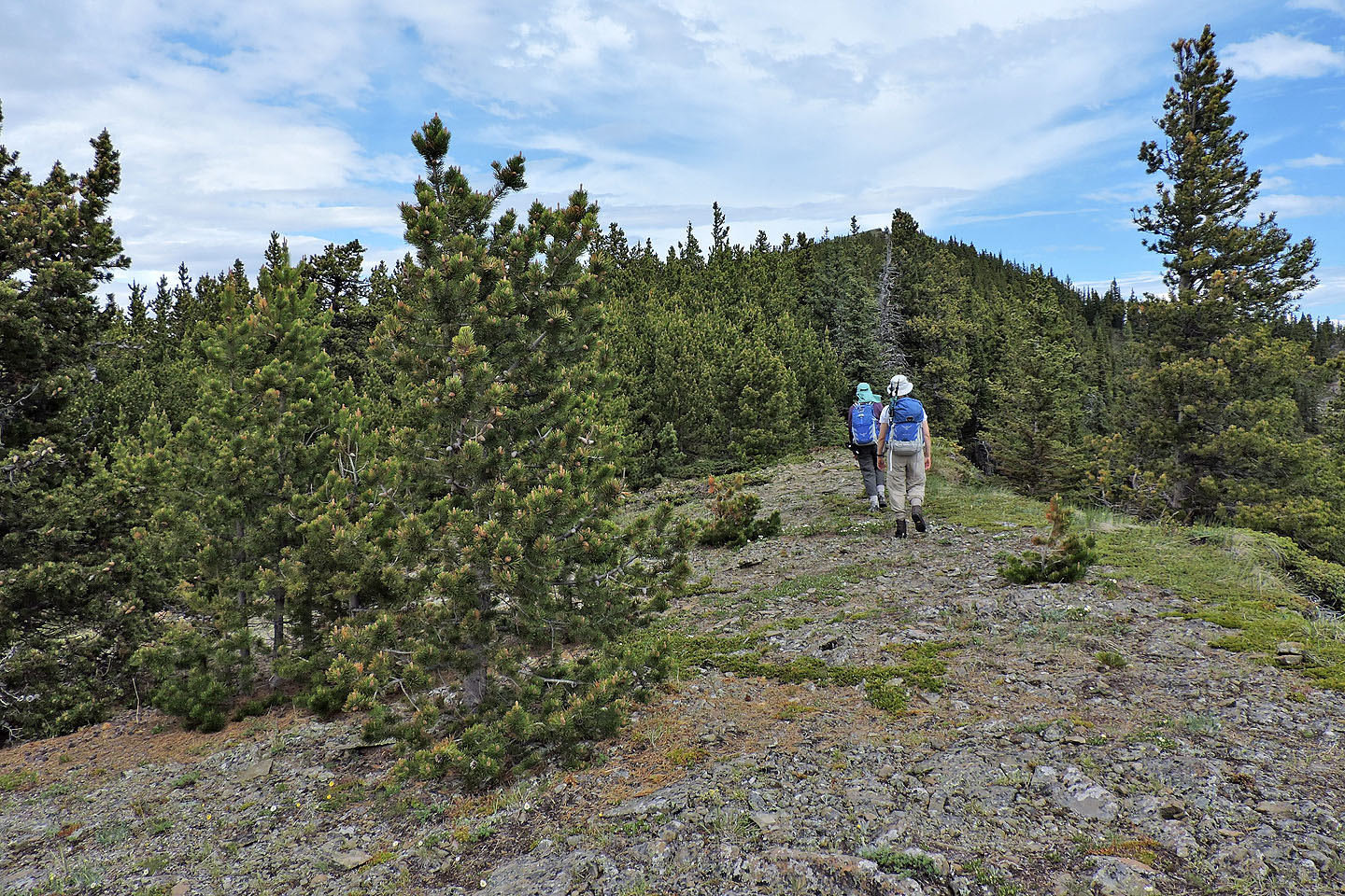
The summit is 650 m away
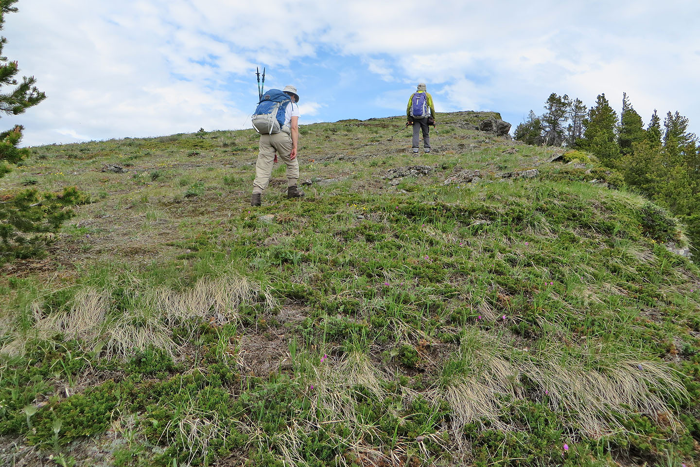
We left the forest and headed to the summit
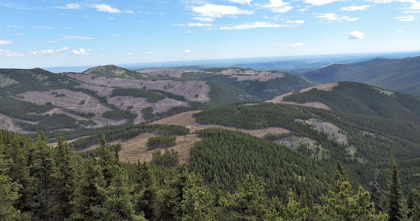
Logging has ravaged the eastern Hunchback Hills
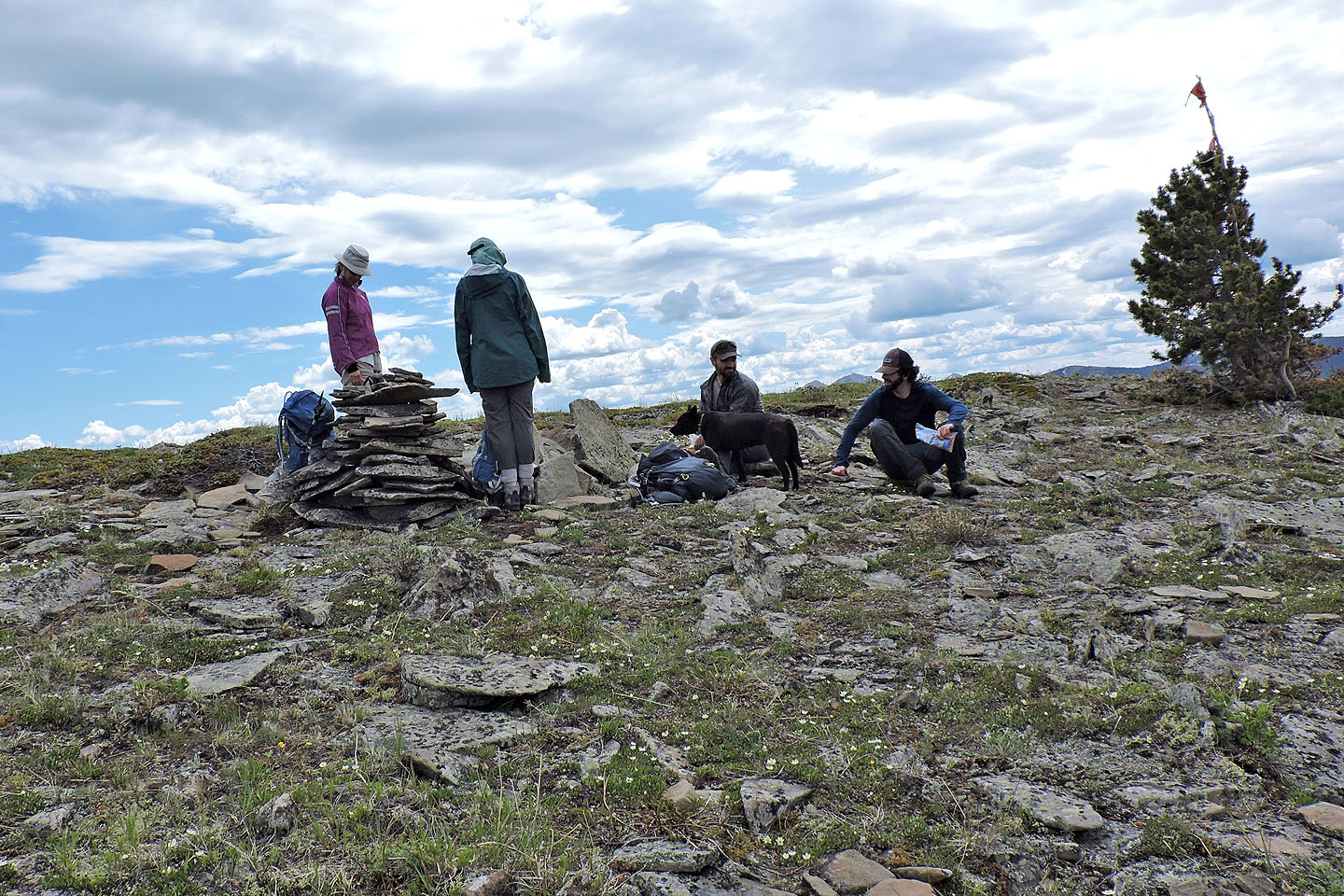
Zora and Dinah stand next to the toppled summit cairn, while Jay and his friend sit
82 J/15 Bragg Creek, 82 O/2 Jumpingpound Creek