bobspirko.ca | Home | Canada Trips | US Trips | Hiking | Snowshoeing | MAP | About
High Noon Hills
Kananaskis, Alberta
March 20, 2016
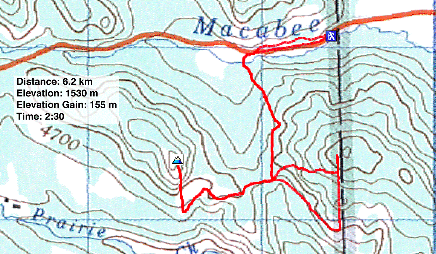
Distance: 6.2 km (3.9 mi)
Cumulative Elevation Gain: 258 m (846 ft)
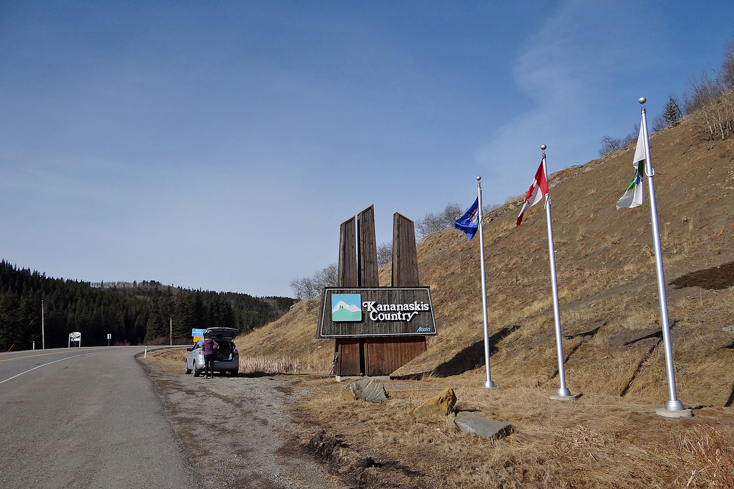
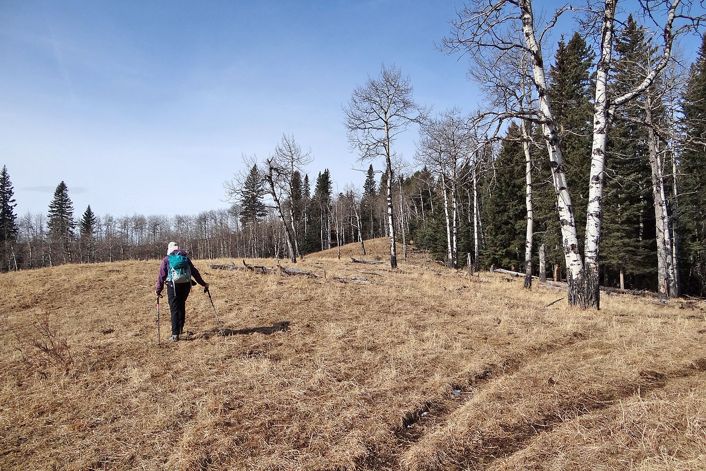
Looking for a quick, easy hike Dinah and I found it in High Noon Hills. After consulting the Kananaskis Country Trail Guide, we decided to use the route called 1C which leads to the col between the two hills. We could find no roadside parking, so we parked at the park entrance and walked along the highway. 500 m later, we crossed the highway and took a braided trail – sometimes muddy – through the trees to the col.
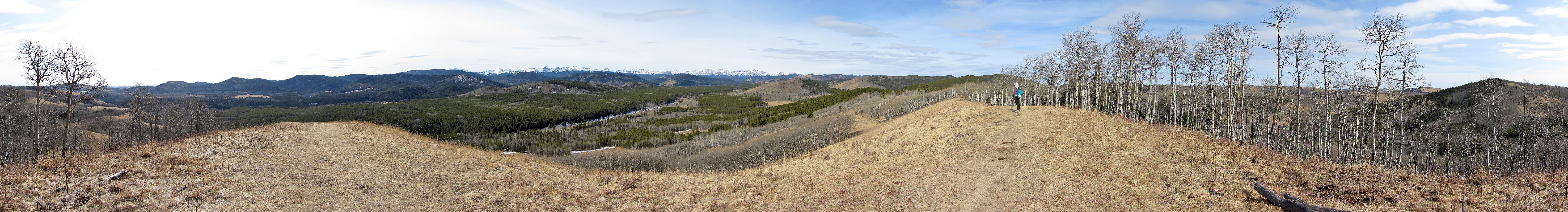
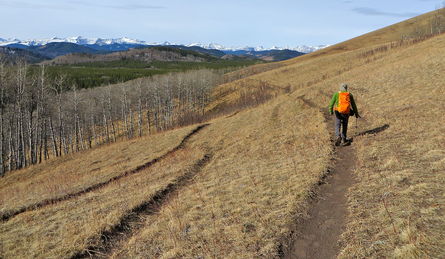
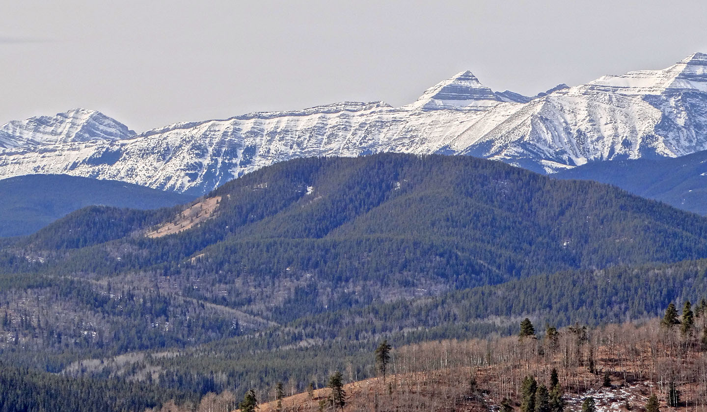
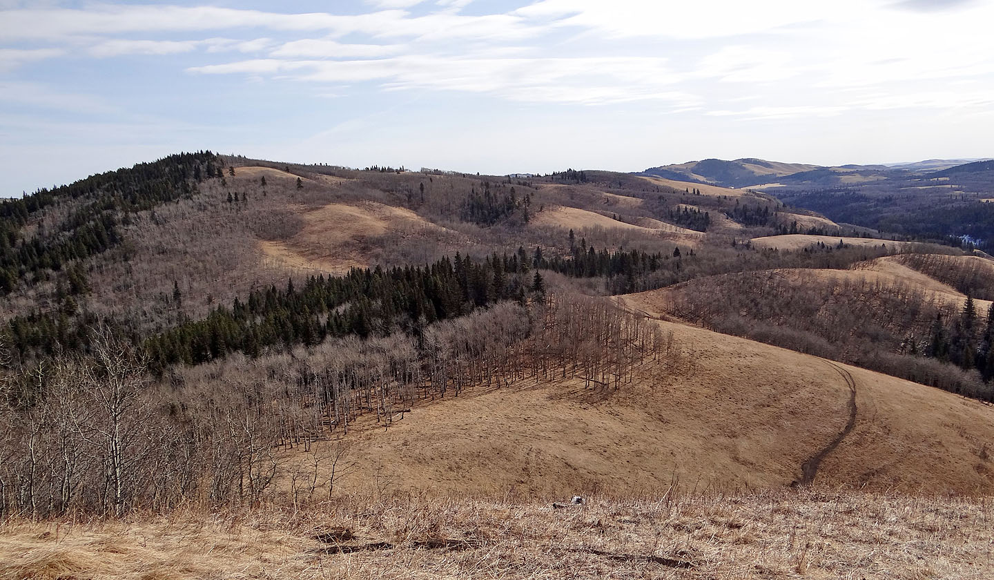
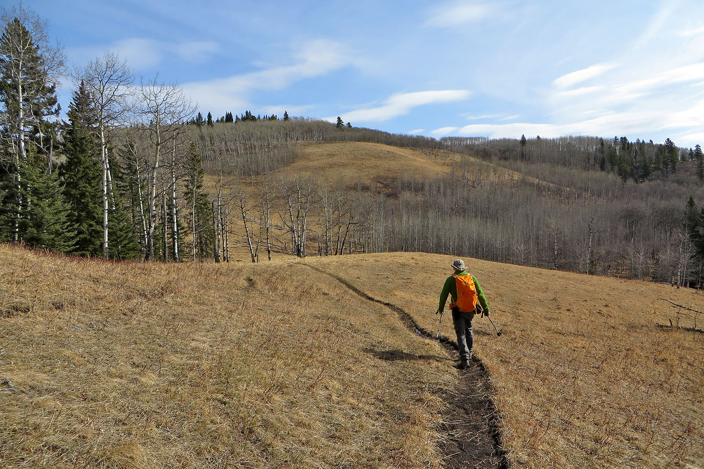
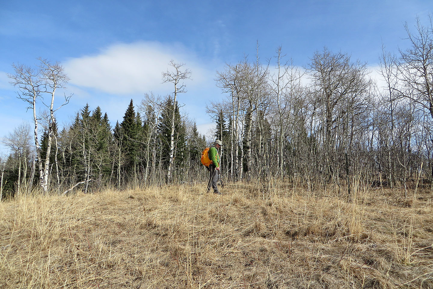
As we headed for the West Hill, I was amazed at how quickly it opened up. The trees disappeared as the trail wound around a broad, grassy slope. We soon left the trail and struck out for the hilltop. The views were surprisingly grand for a little hill. After looking around and taking a panorama, we retraced our steps to the col and climbed the slightly higher East Hill.
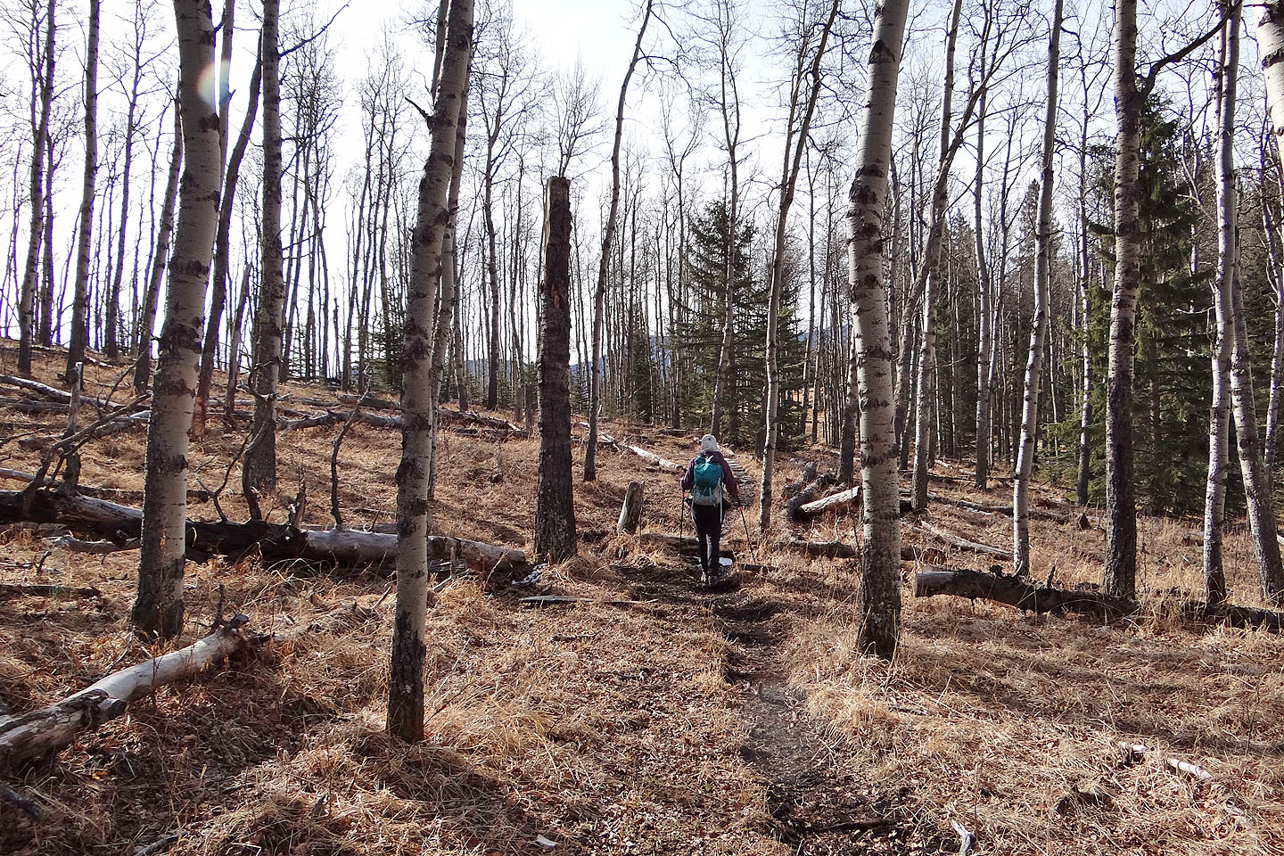
To reach it, we hiked up a brief grassy slope and then took an animal trail through the trees. When we hit a trail that parallels a fence, we followed it to the hilltop. Almost, I should say. The summit was less than 50 m away but on private property. It was crammed with trees, deadfall and bushes, and wasn’t worth climbing over a barbwire fence and trespassing.
So we turned around and followed the fence trail until it intersected a good trail that runs back to the col. Before we reached the col, however, a tapping sound drew our attention to a pileated woodpecker boring into a rotting log. We’ve rarely spotted them over the years, yet these woods were alive with these large woodpeckers. It was our second sighting that day, even while we heard another hammering away at a nearby tree.
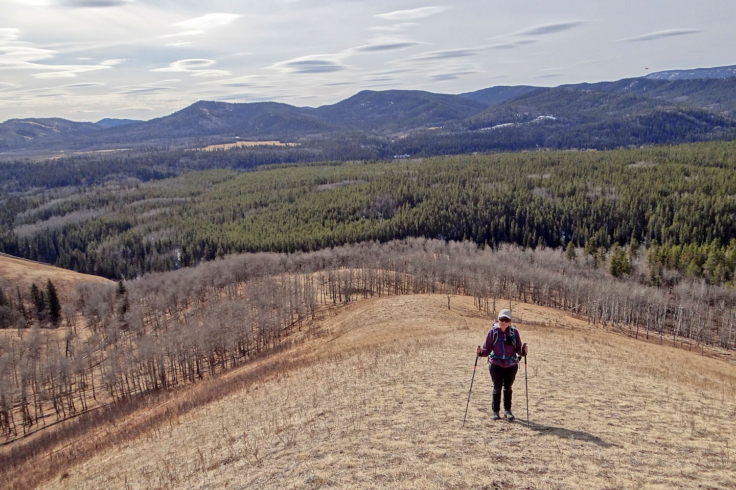
It turned out to be a pleasant hike. The treed ridges on the other side of the highway are higher, but they don’t hold a candle to High Noon Hills. The Hills may be short in stature, but they are long in views.
We followed a muddy horse trail
that begins behind the sign, but I recommend taking the road
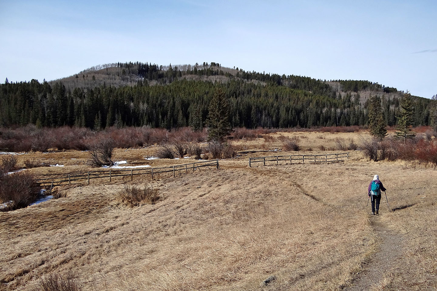
From the highway, the trail leads to a col between the two hills. Ahead is the West Hill.
Following the trail to the col
Starting up the West Hill from the col
It soon opened up
We made our way to the top of the West Hill
Looking back after starting up. Okotoks Mountain on the left (mouse over).
 The green hill is Mount Dyson
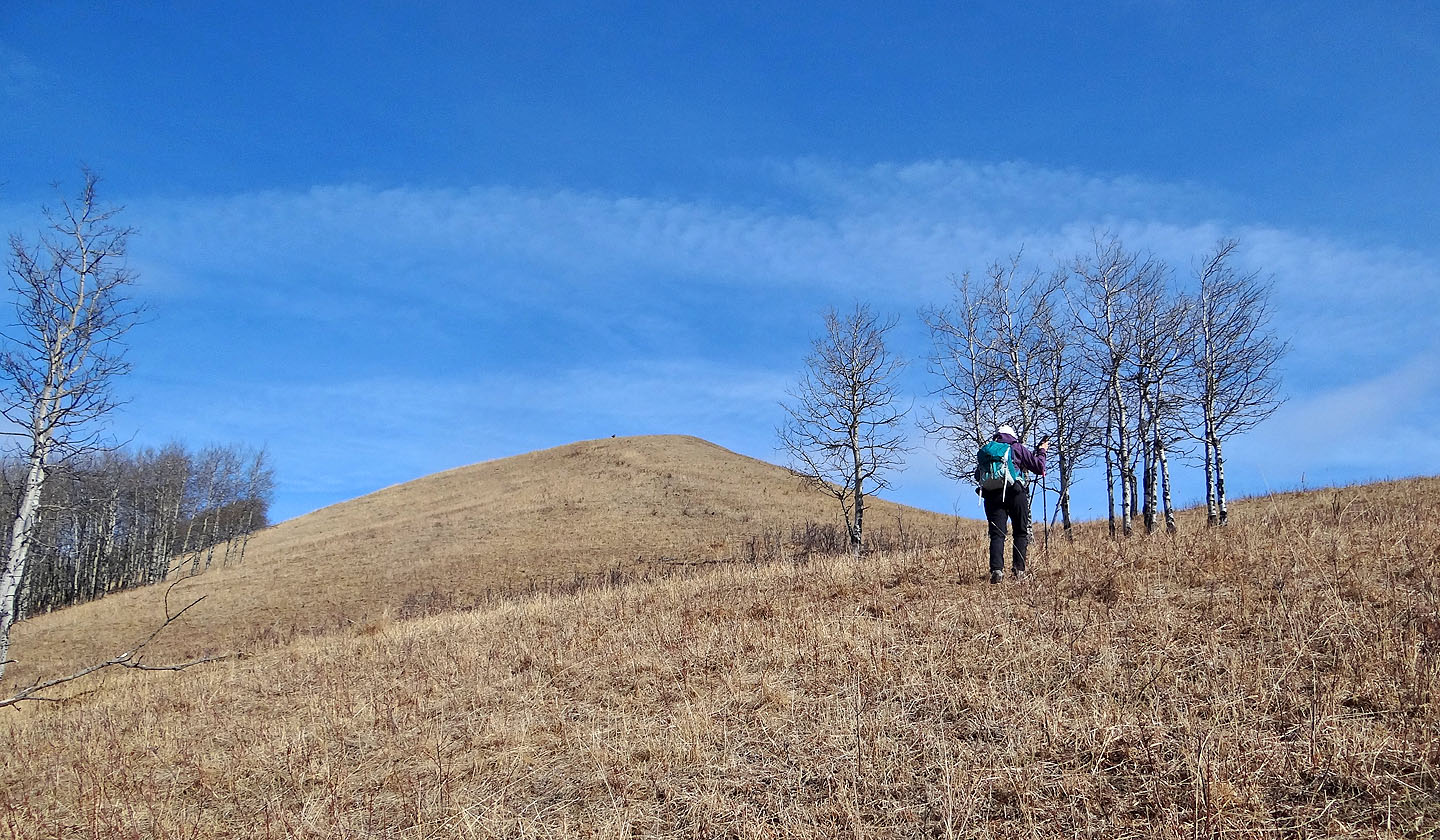
Looking at the East Hill from the top
On the way back to the col with the East Hill ahead
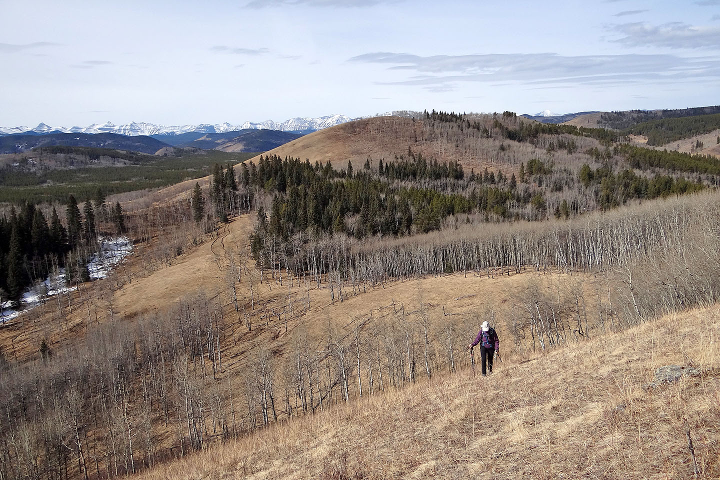
Looking back at the West Hill as we ascended the East Hill
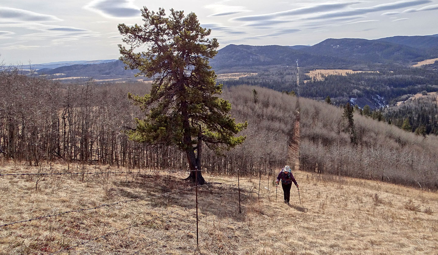
We followed the boundary line to the top
The treed summit was less then 50 m away but not worth climbing a barbwire fence and crossing private property
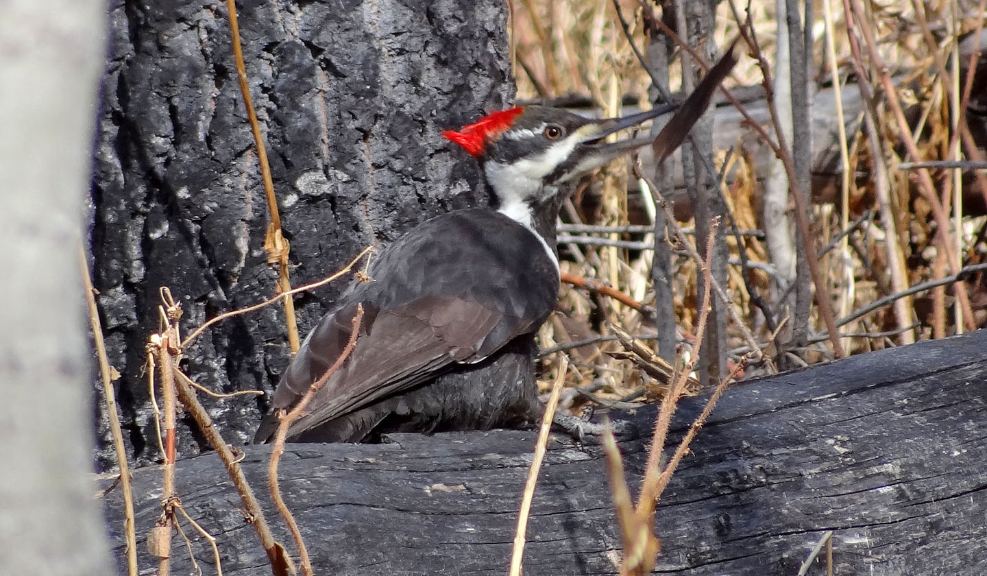
A pileated woodpecker flings a chunk of wood
82 J/9 Turner Valley