bobspirko.ca | Home | Canada Trips | US Trips | Hiking | Snowshoeing | MAP | About
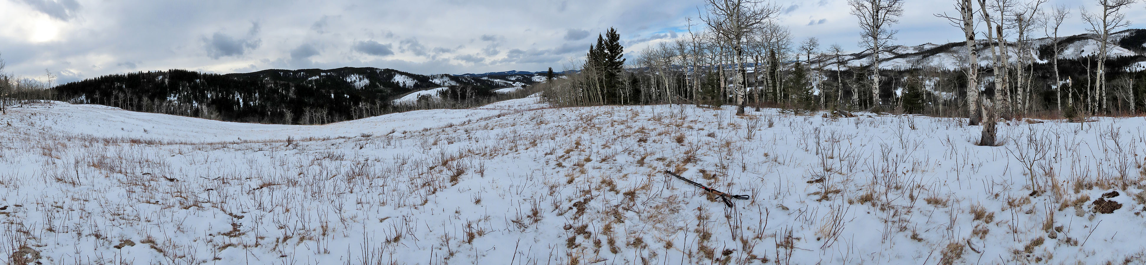
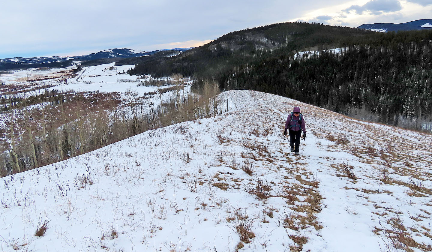
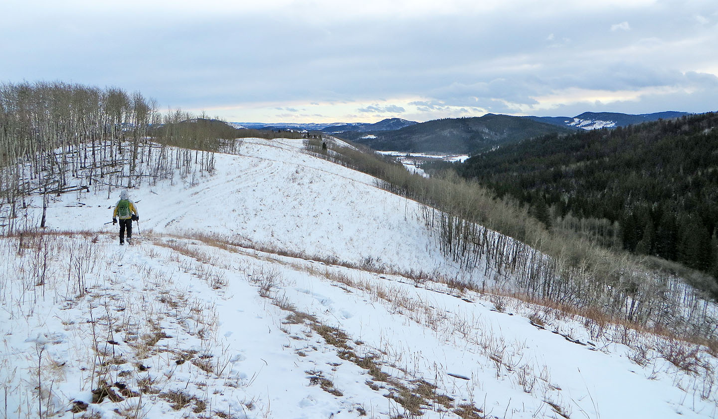
View north from a clearing on Carry
Muley and Carry Ridges
Kananaskis, Alberta
December 22, 2021
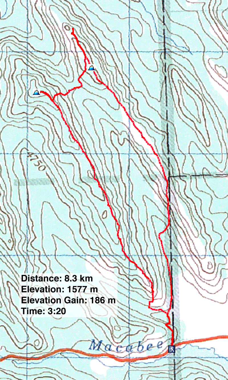
Distance: 8.3 km (5.2 mi)
Cumulative Elevation Gain: 300 m (984 ft)
The parallel ridges of Muley and Carry make a natural looped hike at the boundary of Kananaskis Country. The trip is mostly a ridgewalk, although the ridges are too low for expansive views even where trees permit it. Still, it's a pleasant hike, worthwhile in winter.
Dinah and I parked at the pullout and started up the trail that runs over the end of a ridge, a vexing start that gains and loses 40 m in quick order. Nor did the soft snow underfoot make it easier, even tramped down by hikers. When the trail went left to enter a thin forest, we turned off and climbed the open slope to reach the crest of Muley Ridge.
We were expecting a bland hike along the treed stretch to the summit but were amazed to see recently toppled pine trees, needles still green. Several fallen trees were huge, snapped or uprooted by some incredible gale. I can't imagine being there on that day!
We dutifully trudged to the summit of Muley Ridge, before turning around. We only had to backtrack 200 m: Muley and Carry are connected by a short trail running over Mud Spring Pass. But we didn't head directly to the viewless apex of Carry. We first wanted to reach a clearing a few hundred metres north where we could look around. So we angled below the ridge before reaching the crest. We had planned to take a trail, but it was lost in the snow covering.
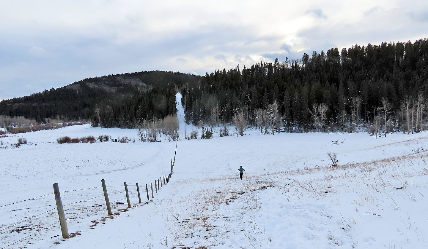
After reaching the clearing, we turned around, hiked over the nondescript summit and continued along the ridge. After hiking mostly in trees, we welcomed the meadowy south end of Carry Ridge. When the trail hits the boundary fence, it drops down into a valley. Here it veers away from the fence to thread through a dark forest, eventually joining the trail that runs over the end of the ridge at the start.
Although Muley and Carry Ridges aren't exciting, it's a short drive and a short trip. Despite the low elevation, it was still a good workout.
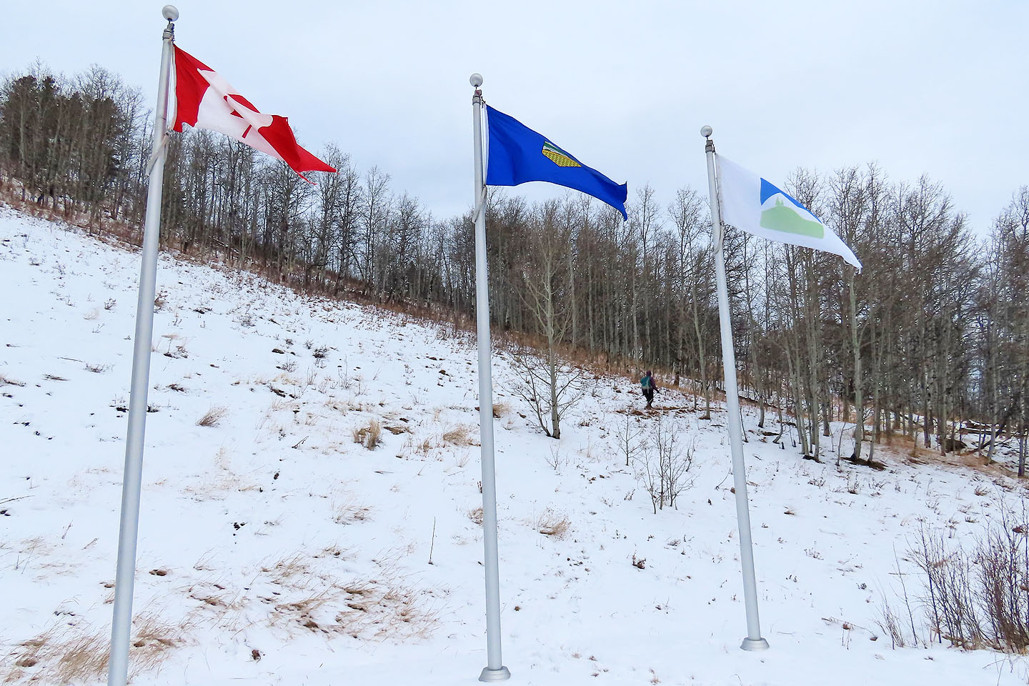
The trail begins at the park boundary
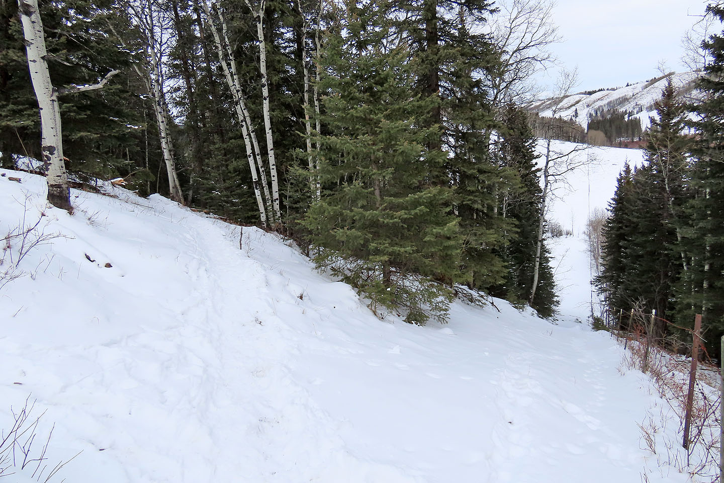
After climbing, the trail turns left and drops down
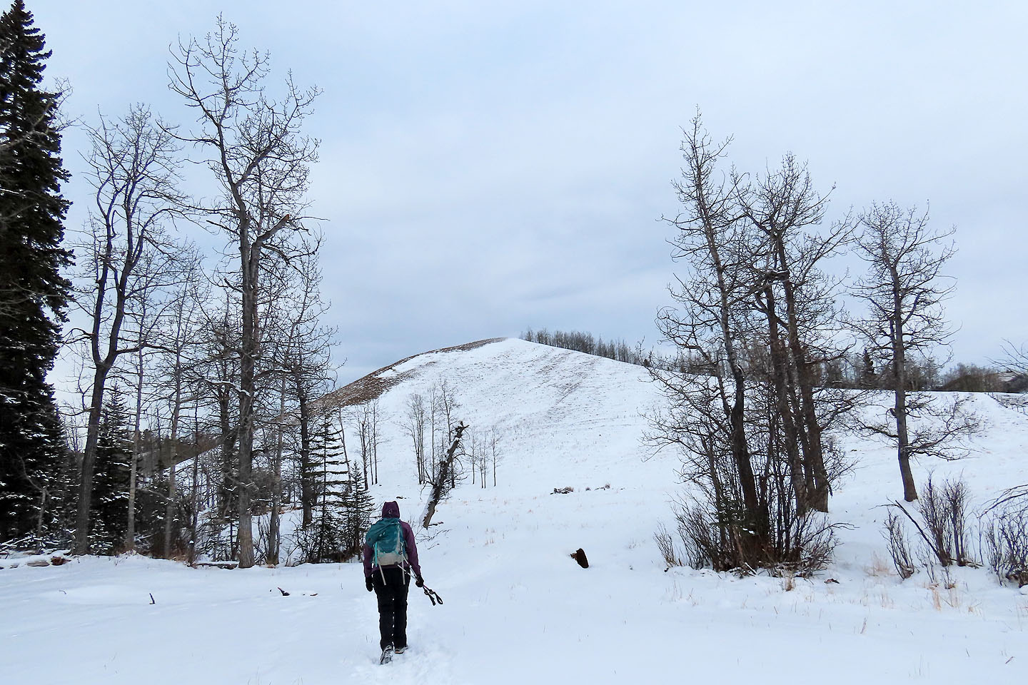
At the bottom, the end of Muley Ridge comes into view
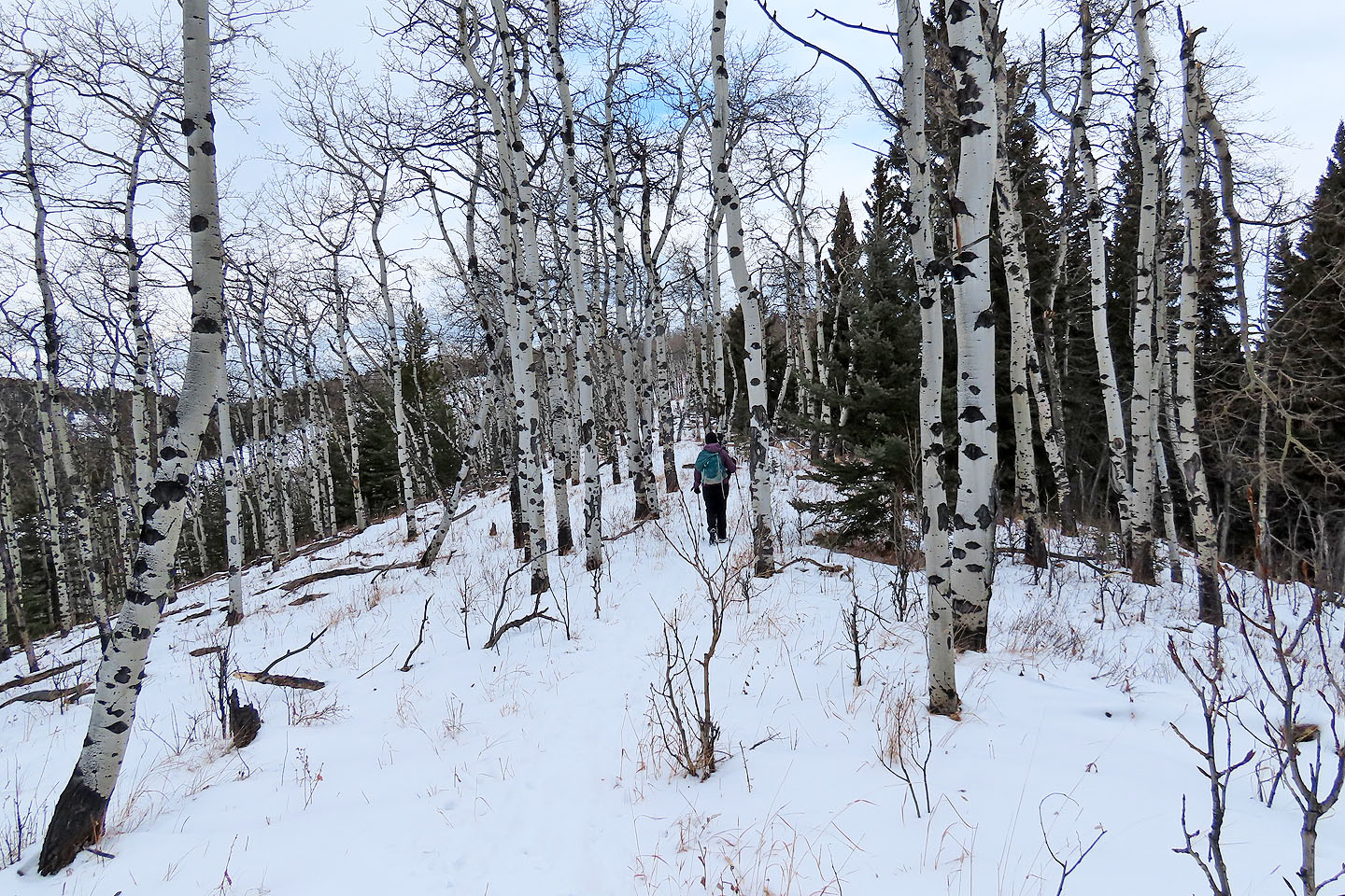
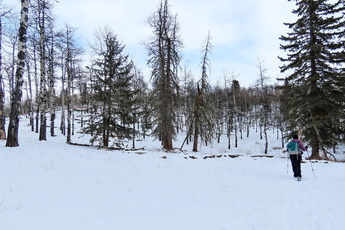
Hiking along the ridge
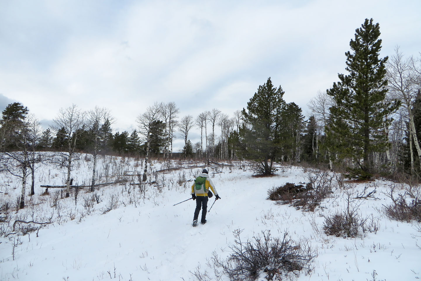
Muley Ridge is mostly covered in trees
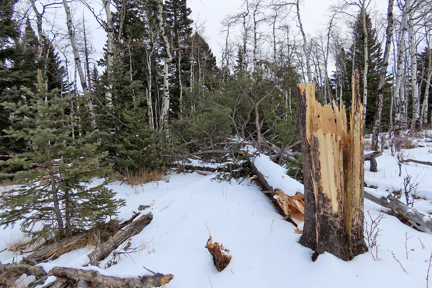
Recent winds had toppled trees
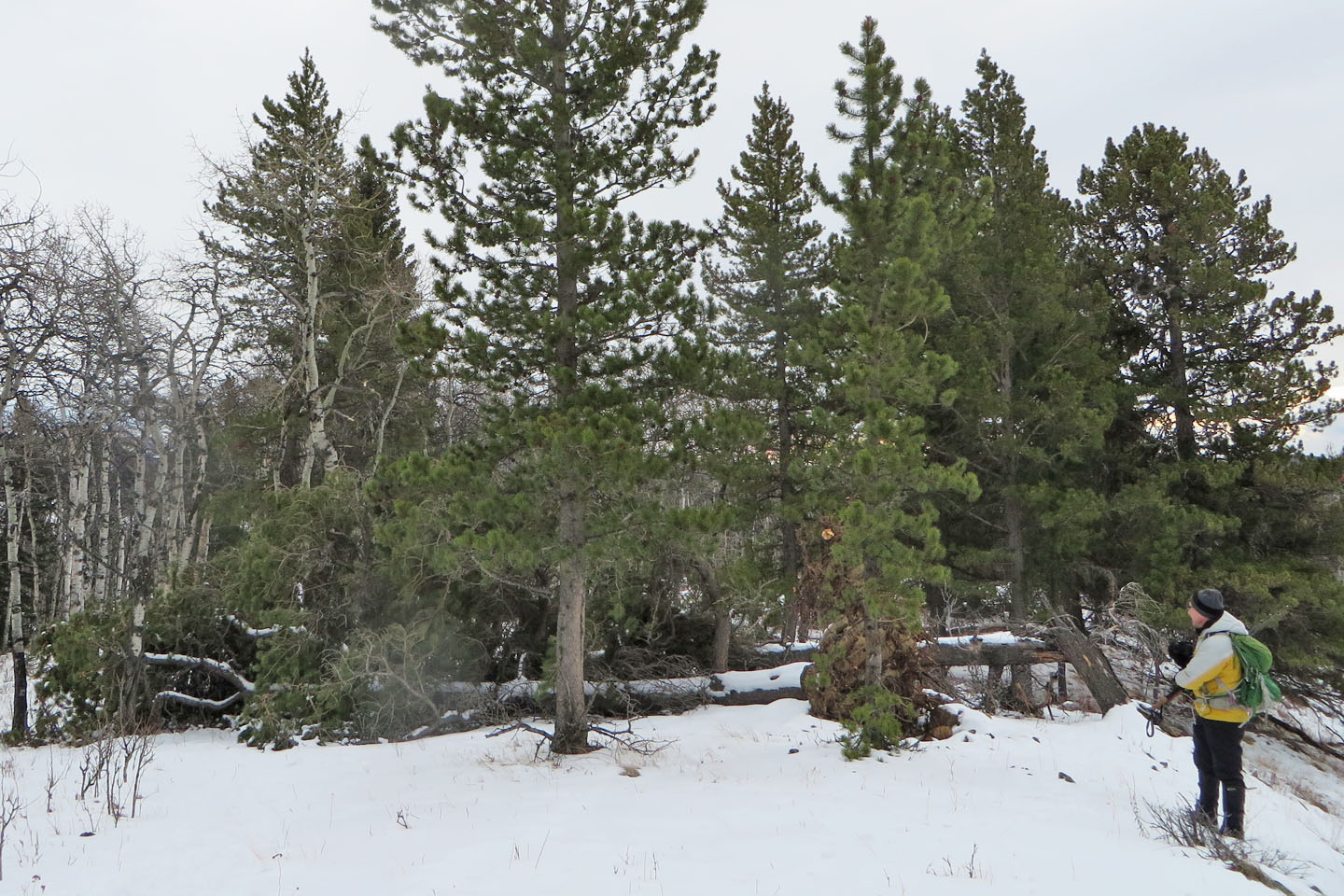
Some trees had fallen over the trail
Hiking through a grove of aspens
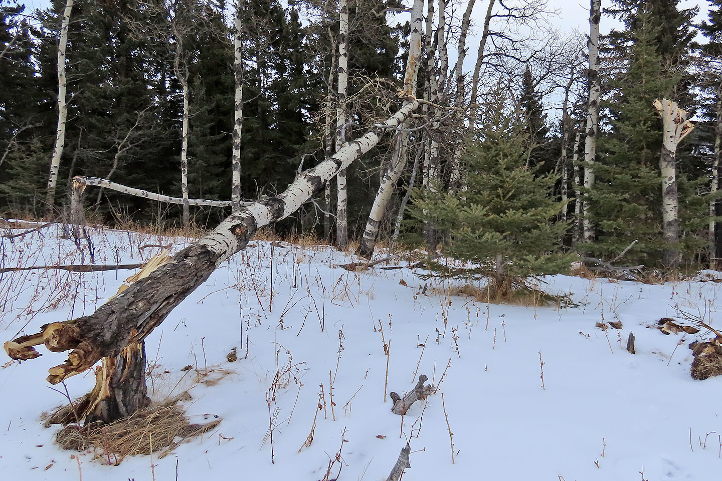
Even bare aspens had snapped
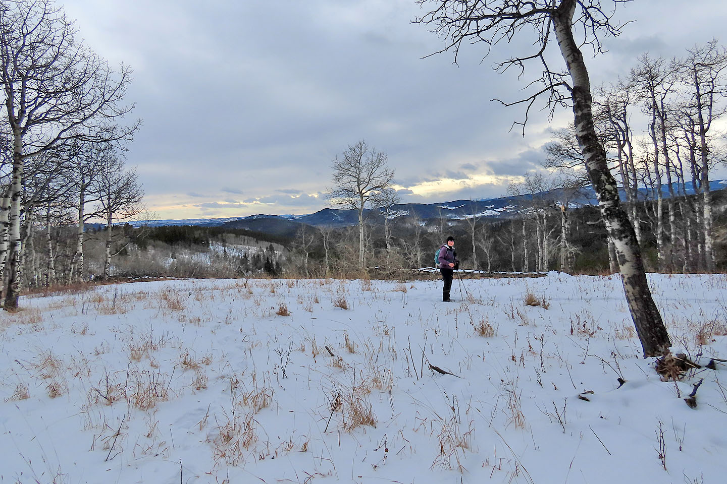
There's little to see from the summit of Muley
After backtracking 200 m, we found the trail to Mud Springs Pass
We soon reached the bottom of the pass
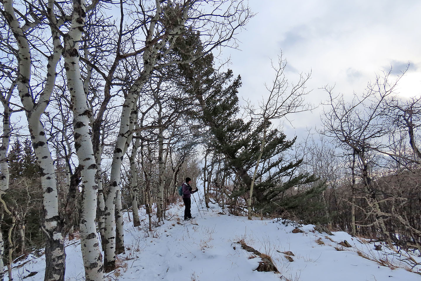
A tree leans over the trail on Carry Ridge
John Ware Ridge seen from Carry
The summit lacks markings or views
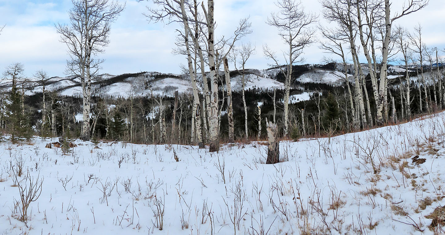
Unlike Muley, much of Carry Ridge is given to meadows
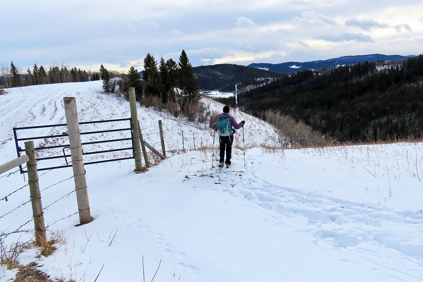
The walk along the ridge ends at the boundary fence
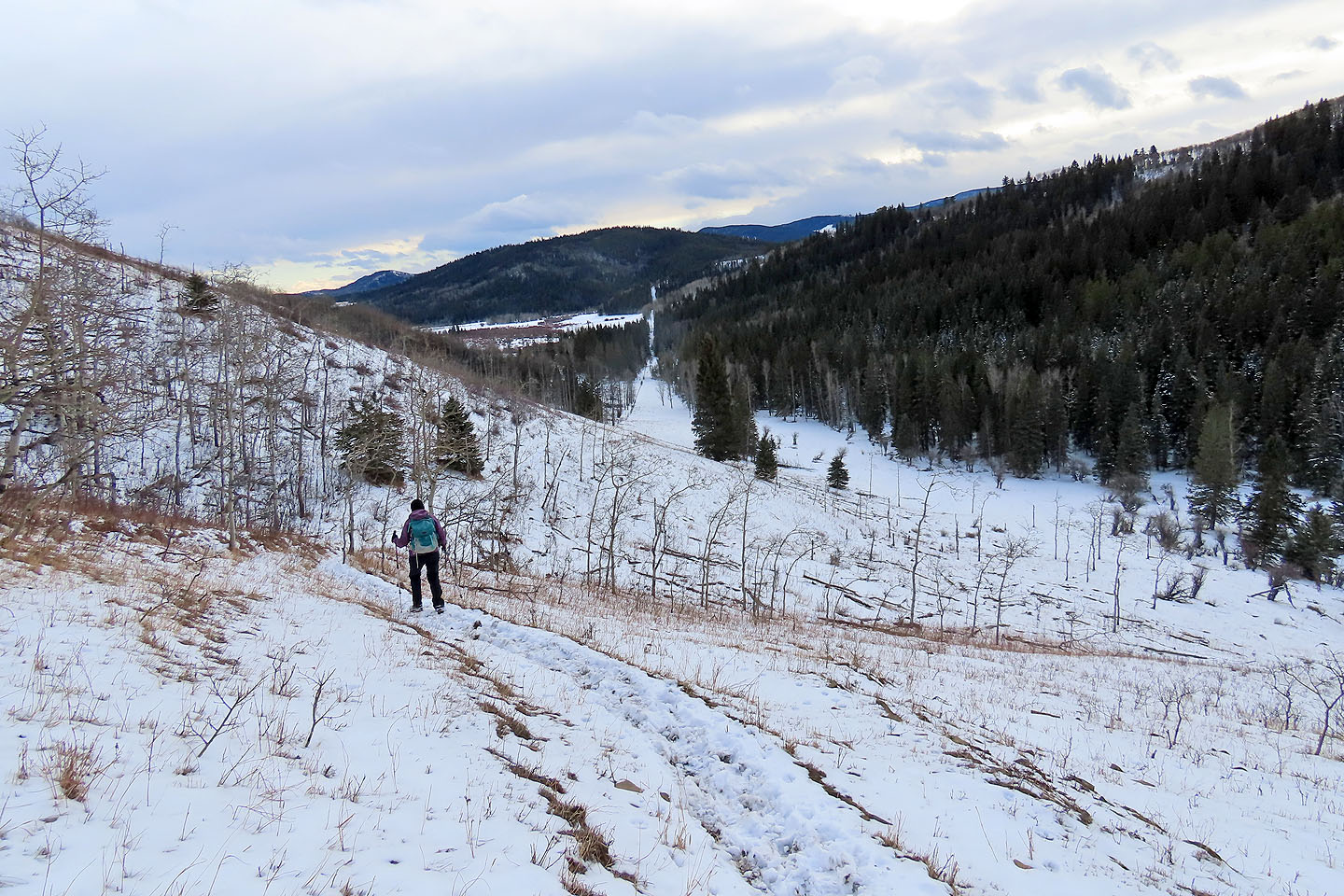
The trail drops down to the valley
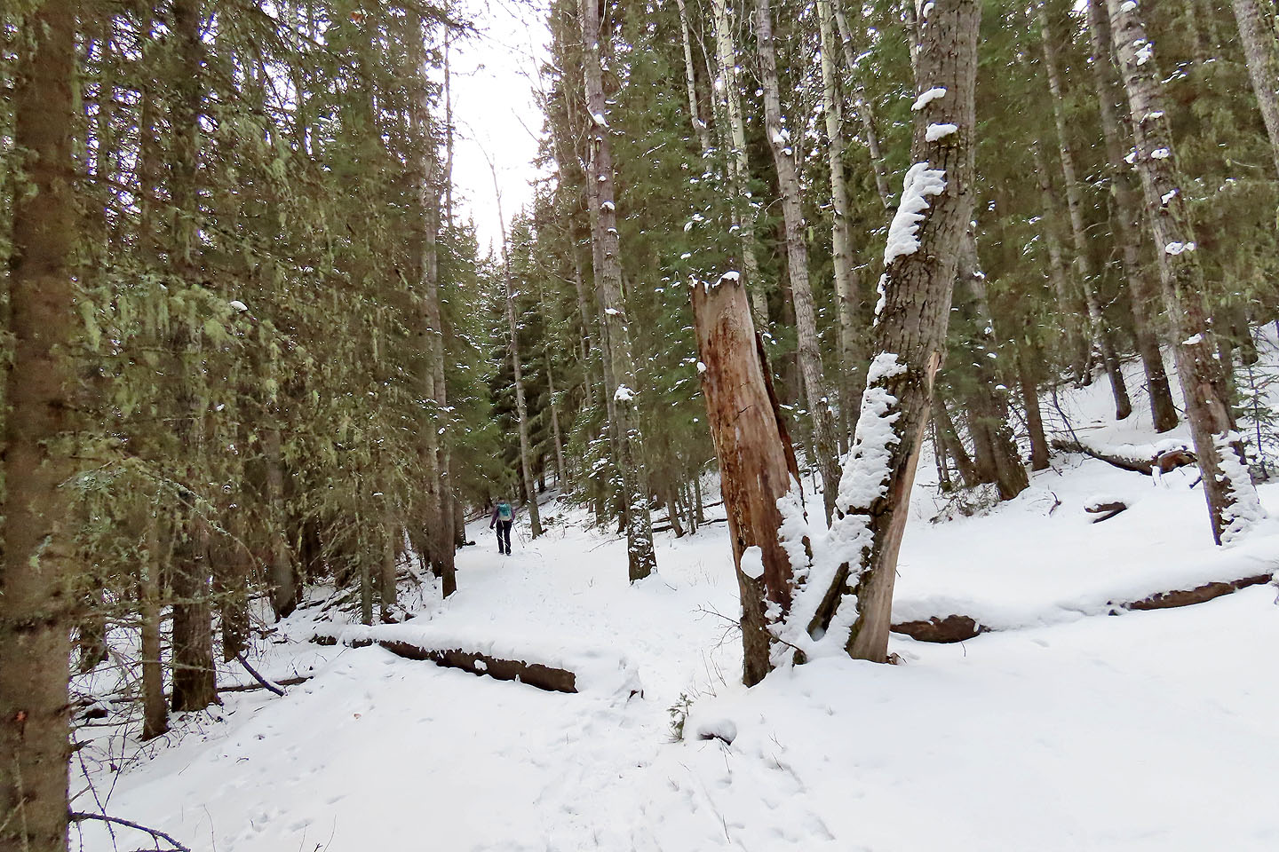
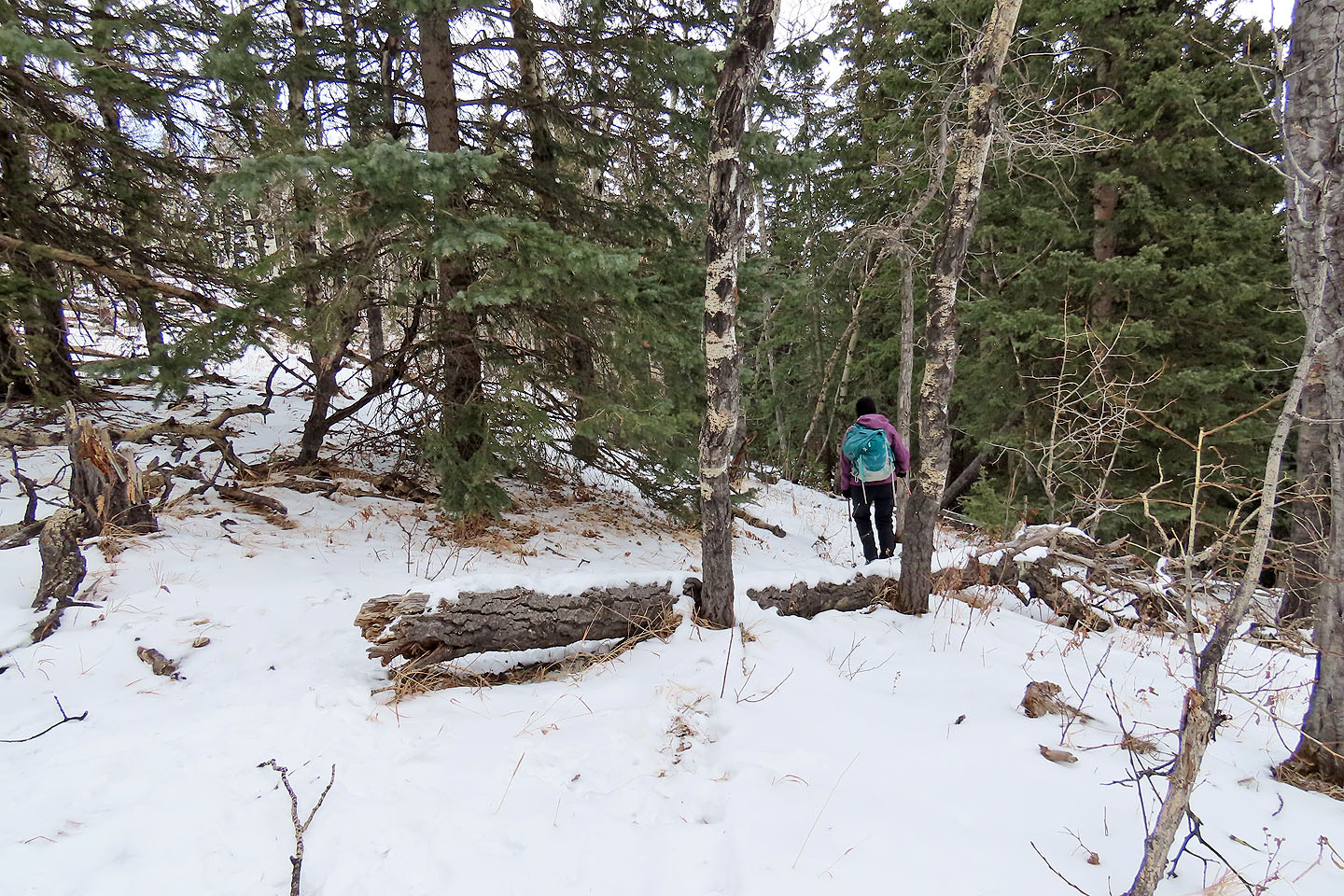
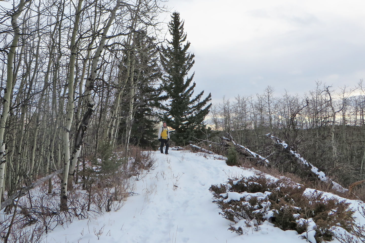
The trail winds through the forest
We faced climbing over the end of the ridge again before the trailhead
82 J/9 Turner Valley