bobspirko.ca | Home | Canada Trips | US Trips | Hiking | Snowshoeing | MAP | About
Death’s Head
Kananaskis, Alberta
September 2, 2018
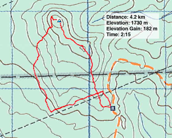
Distance: 4.2 km (2.6 mi)
Cumulative Elevation Gain: 265 m (869 ft)
With a mere 200 m elevation gain and 4 km length, Death's Head isn't likely to appeal to many hikers. But the lightweight hike offered a chance to get out to the mountains following day surgery nine days earlier. I had a deviated septum fixed and a benign nasal tumour removed. With the surgery behind me, I could breathe easier but had to lower the bar on my activities while I recovered. “Ease into them,” my doctor advised me, and there was no way around it. Two days before this hike, I had over exerted myself and was rewarded with dizziness.
Following the directions in Kananaskis Country Trail Guide, I parked at a small pullout on Gorge Creek Trail and crossed the road to the trailhead. Unexpectedly, the trail immediately splits. I took the right fork.
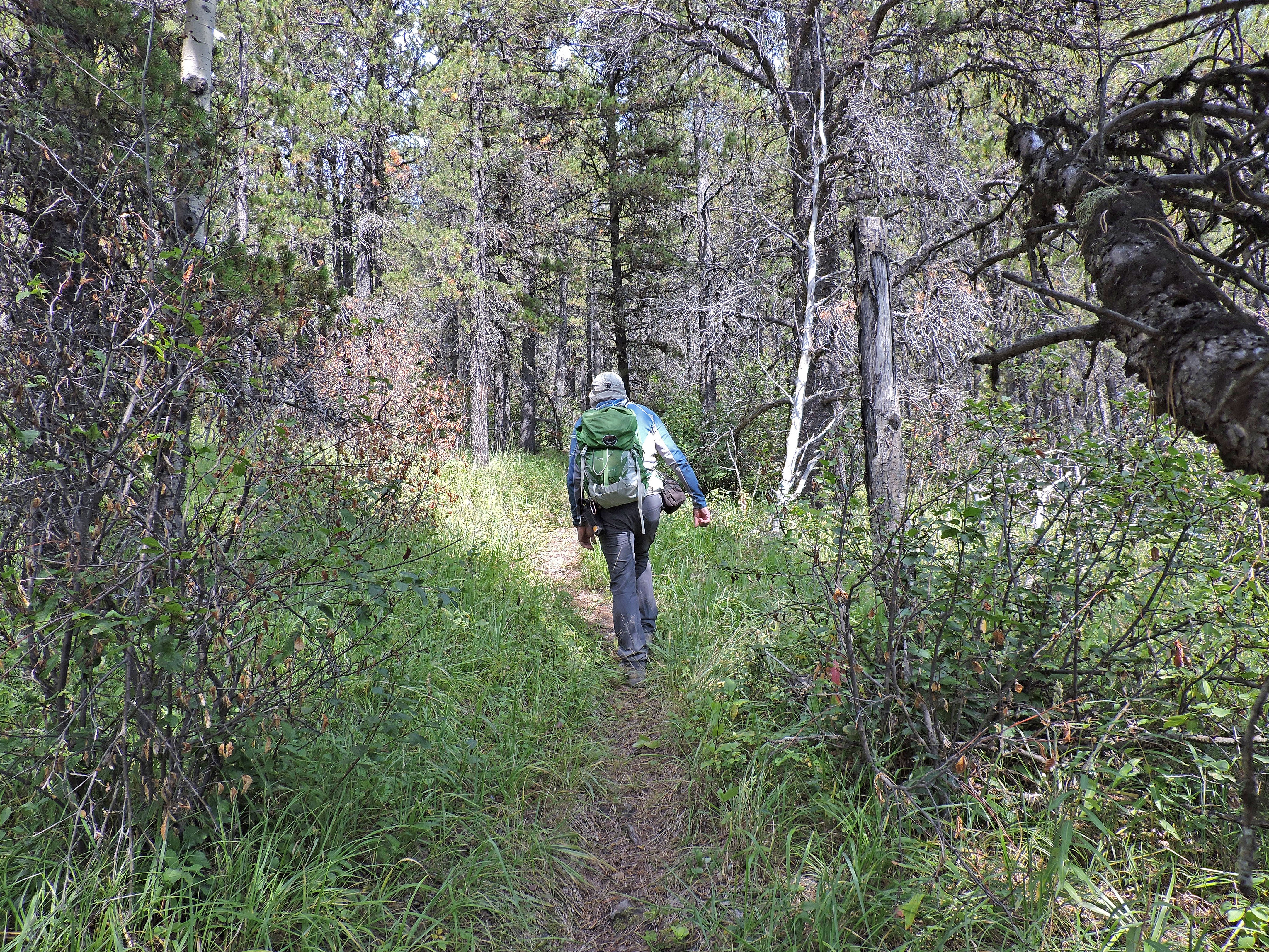
Normally a gentle grade up a trail wouldn't faze me, but today I quickly tired and was resigned to a plodding pace. The path reaches and briefly follows a cutline. Just before the trail left the cutline, I noticed a side trail on my left. This trail, I learned on my descent, accesses the left fork I had seen at the trailhead.
Continuing, I came to a small cairn marking the false summit. The grade eased, and the trail followed a ridge that permitted views of Mesa Butte through breaks in the trees. It was here that I was startled by a tremendous crash from the valley below followed by more noises. My first thought was that a car left the road and crashed into trees, yet there is no road below. Perhaps an old tree fell.
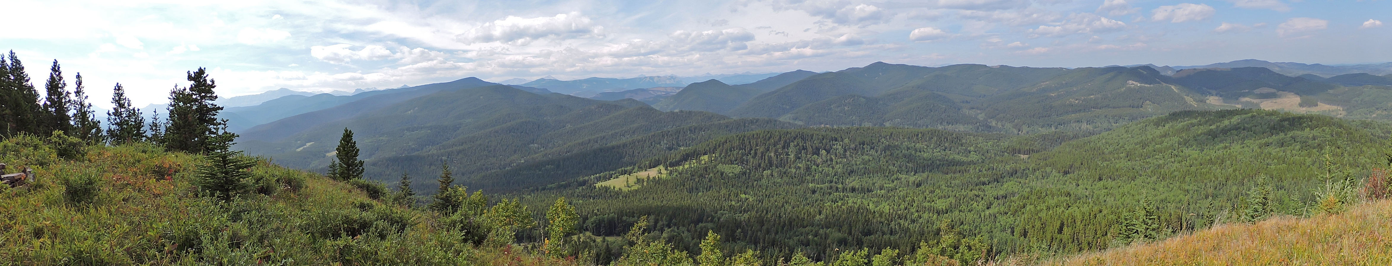
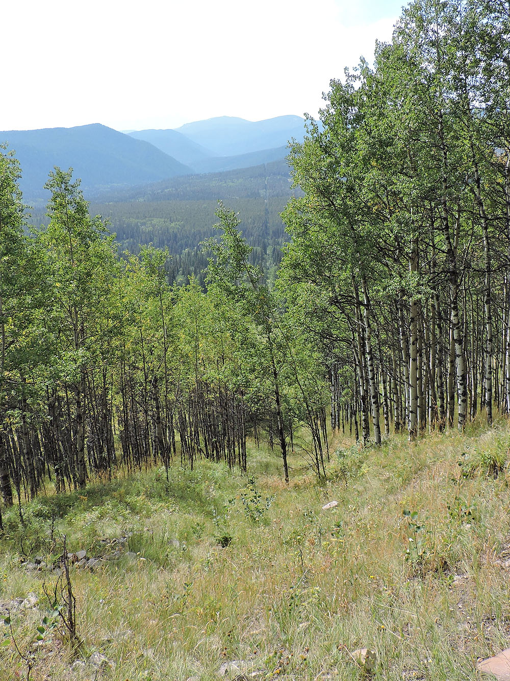
When the path came to a meadow, I realized it was the summit, yet there was no cairn. A short time later I reached a viewpoint. Partially treed, the high perch offers far-reaching views west, but a haze of smoke obscured the distant mountains.
Although I couldn't make a mountain out of this molehill, I could make Death's Head more interesting by taking a different route back. Only a few hundred metres southwest, the North Fork trail edges a spacious meadow. I followed the summit ridge a short distance before descending the treed slopes and finding the trail in the meadow. I followed the trail to the cutline, the same I had been on earlier. The cutline was poorly defined and I often lost it, but eventually I got back on the trail.
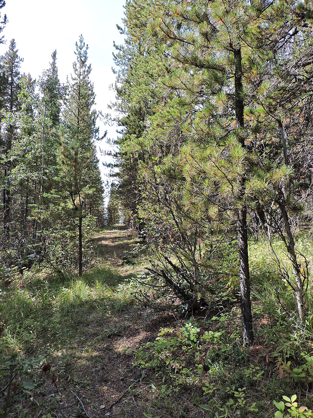
Instead of following the ascent route back, I tried the other trail I had seen. With a beautiful grassy forest floor, it was quicker and more pleasant. What I didn't realize was that it was a main trail. I passed the turnoff, actually two turnoffs, before realizing my error. After backtracking and exploring, I found two faint side trails leading back to the trailhead. If you missed the first one coming down, there's a second 100 m further on.
Hopefully I'll soon completely recover so I can resume tackling higher mountains. But Death's Head served me well in the interim, and I enjoyed getting out if only for a short time.
The trail splits at the very start. Both forks work, but the left is shorter and is more pleasant.
The trail briefly follows a cutline
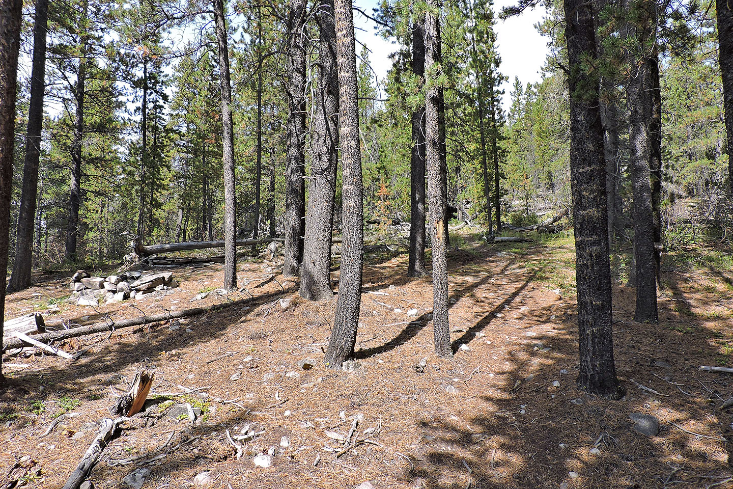
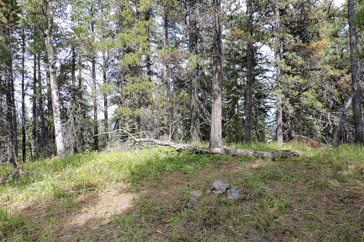
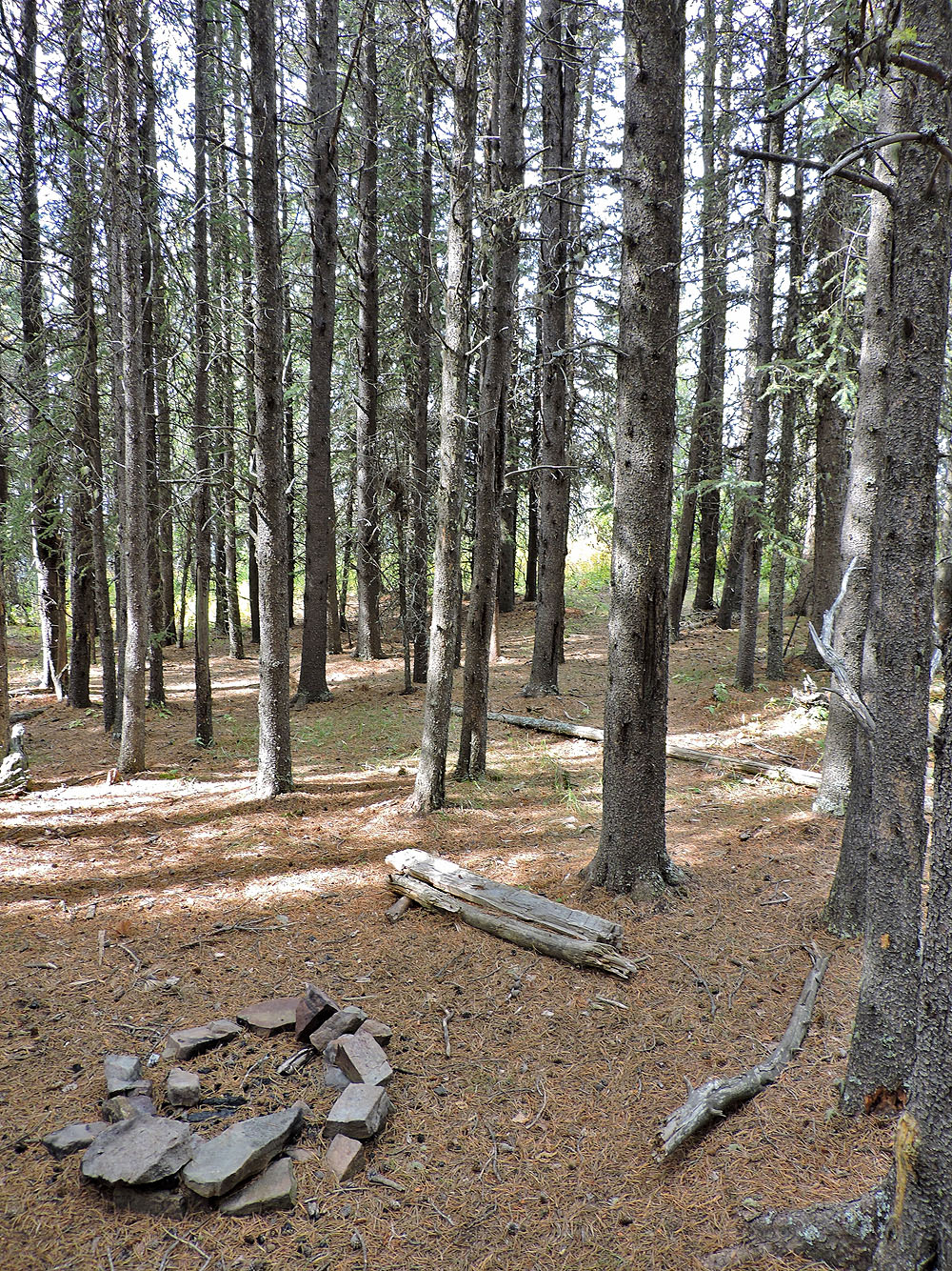
The trail passes a firepit
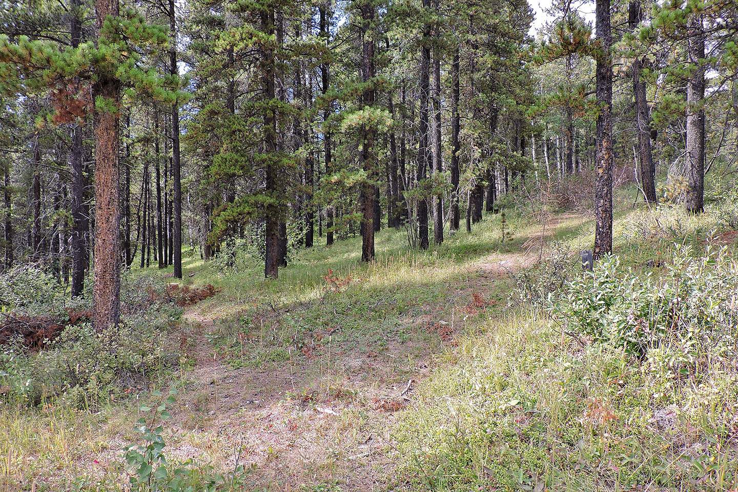
Continuing up the trail
 The false summit. The left trail goes to the true summit. I don't know where the right trail goes.
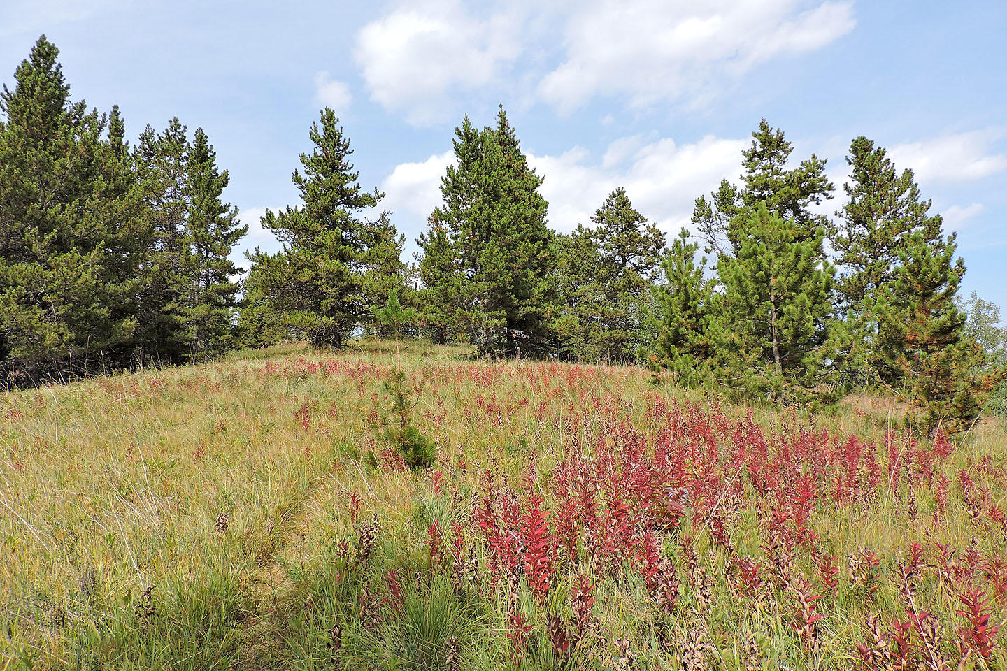
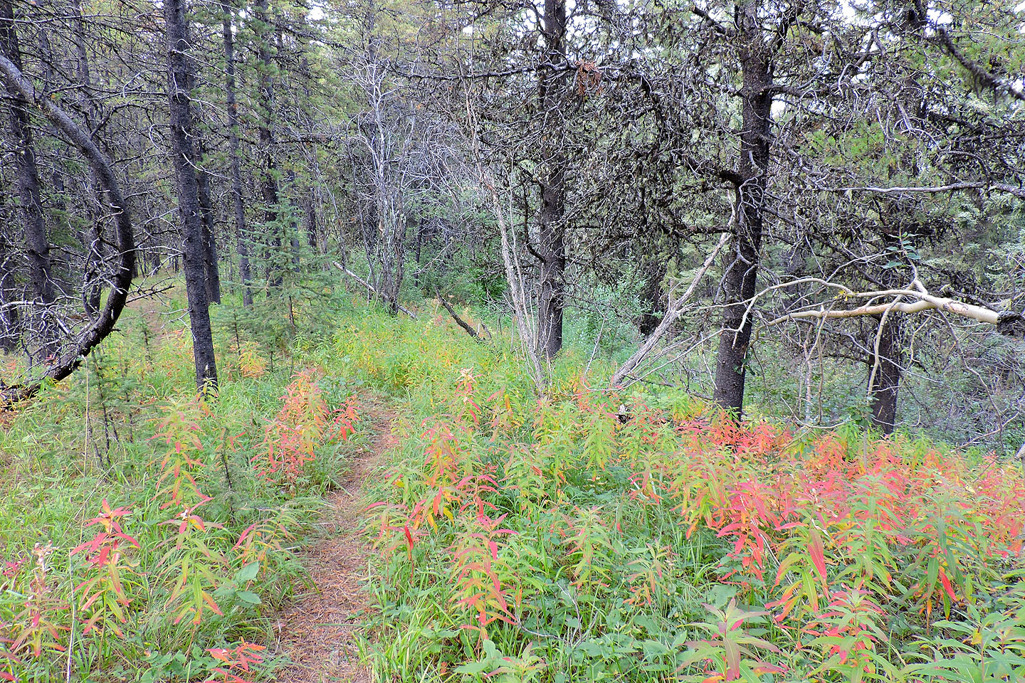 Fall colours setting in
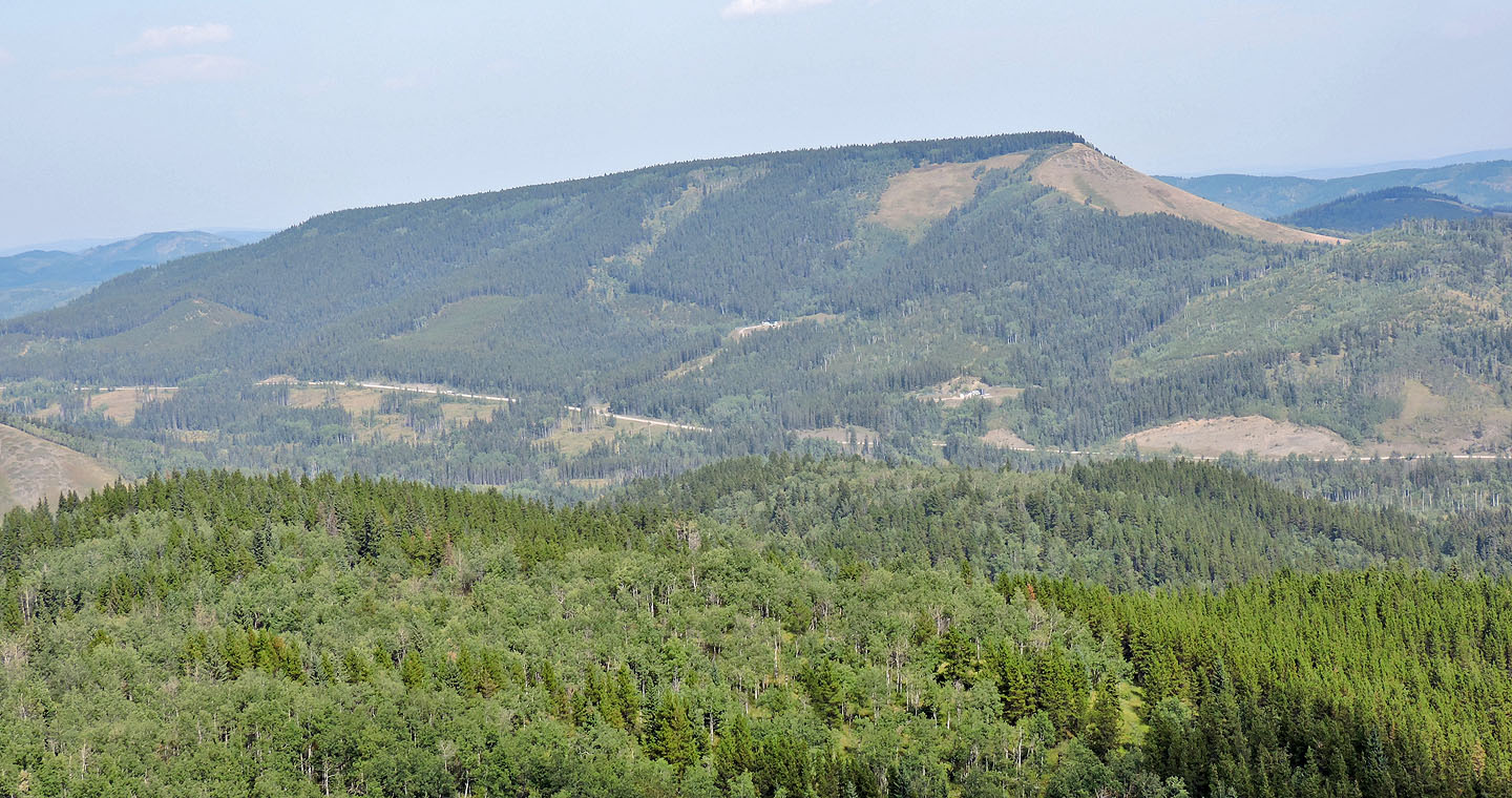 Mesa Butte lies northeast
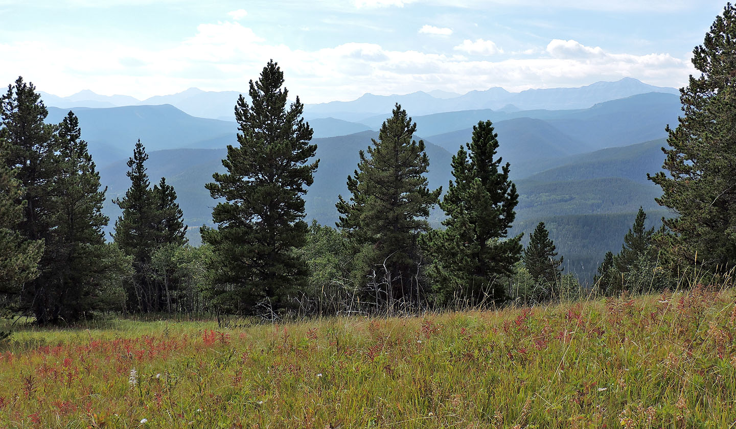
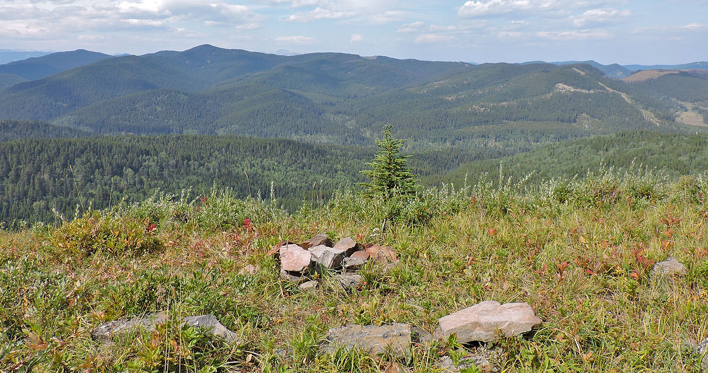
Smoke obscured views to the south
The summit is just ahead but is only a couple metres higher than the viewpoint
Another firepit just before the viewpoint
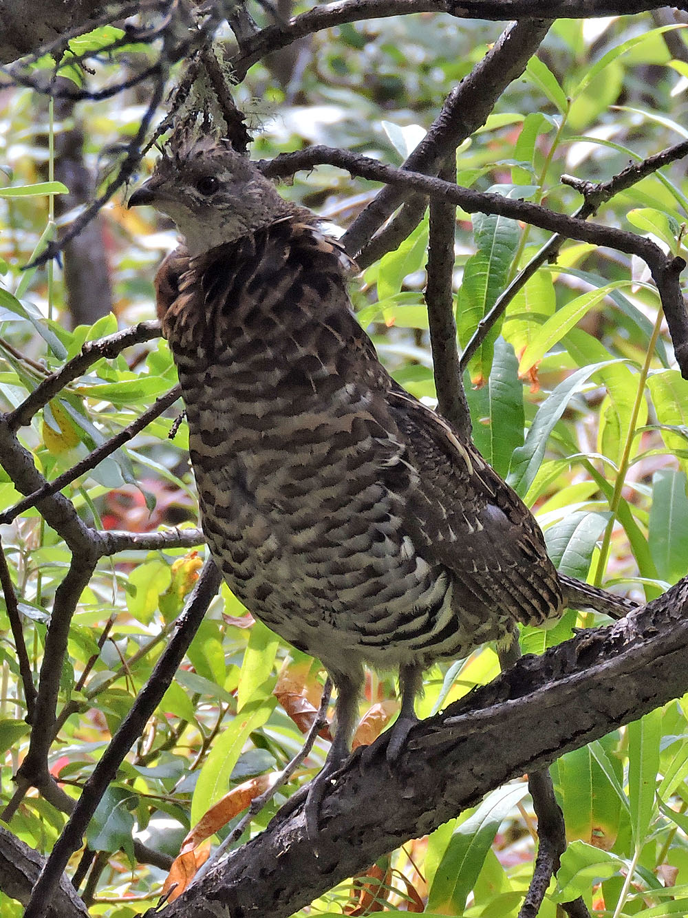
Ruffed grouse
Mount Barwell fills the view northwest of the viewpoint
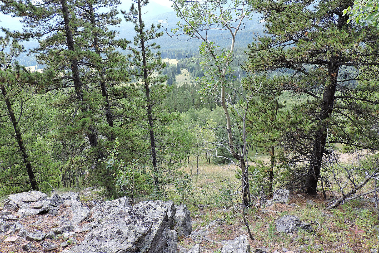
After following the summit ridge a short distance, I dropped down the southwest slope to a clearing (centre) where I picked up the North Fork trail
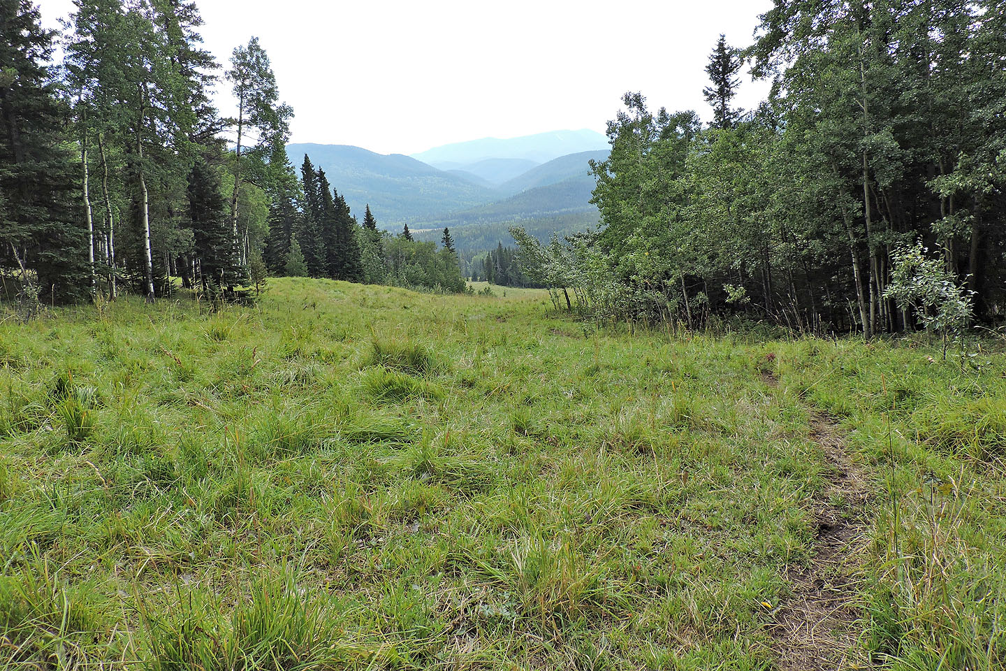
The trail follows the edge of a meadow
 Seen from the trail, the cutline appears as a shallow ditch
Looking back after starting up, it's clear I'm on the cutline
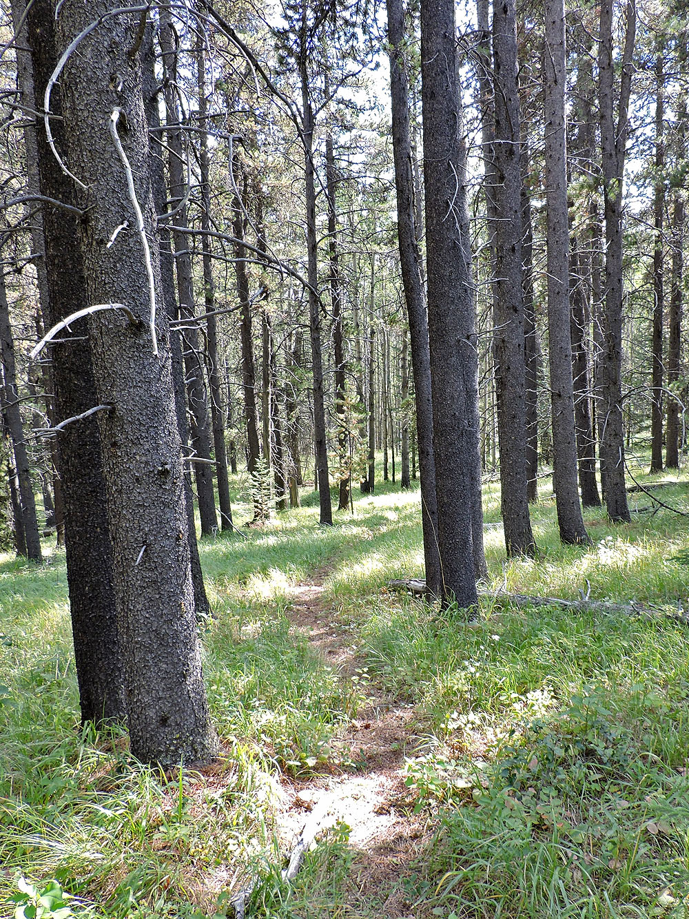
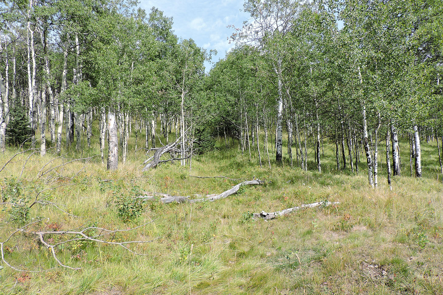
The shortcut back to the trailhead was more enjoyable than the standard route
82 J/10 Mount Rae, 82 J/15 Bragg Creek