bobspirko.ca | Home | Canada Trips | US Trips | Hiking | Snowshoeing | MAP | About
Greenview Ridge
Ghost Public Land Use Zone, Alberta
June 10, 2023
Distance: 9.0 km (5.6 mi)
Cumulative Elevation Gain: 290 m (951 ft)
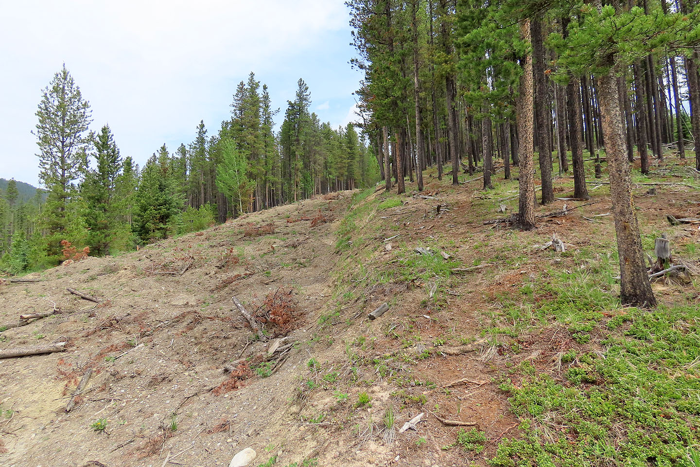
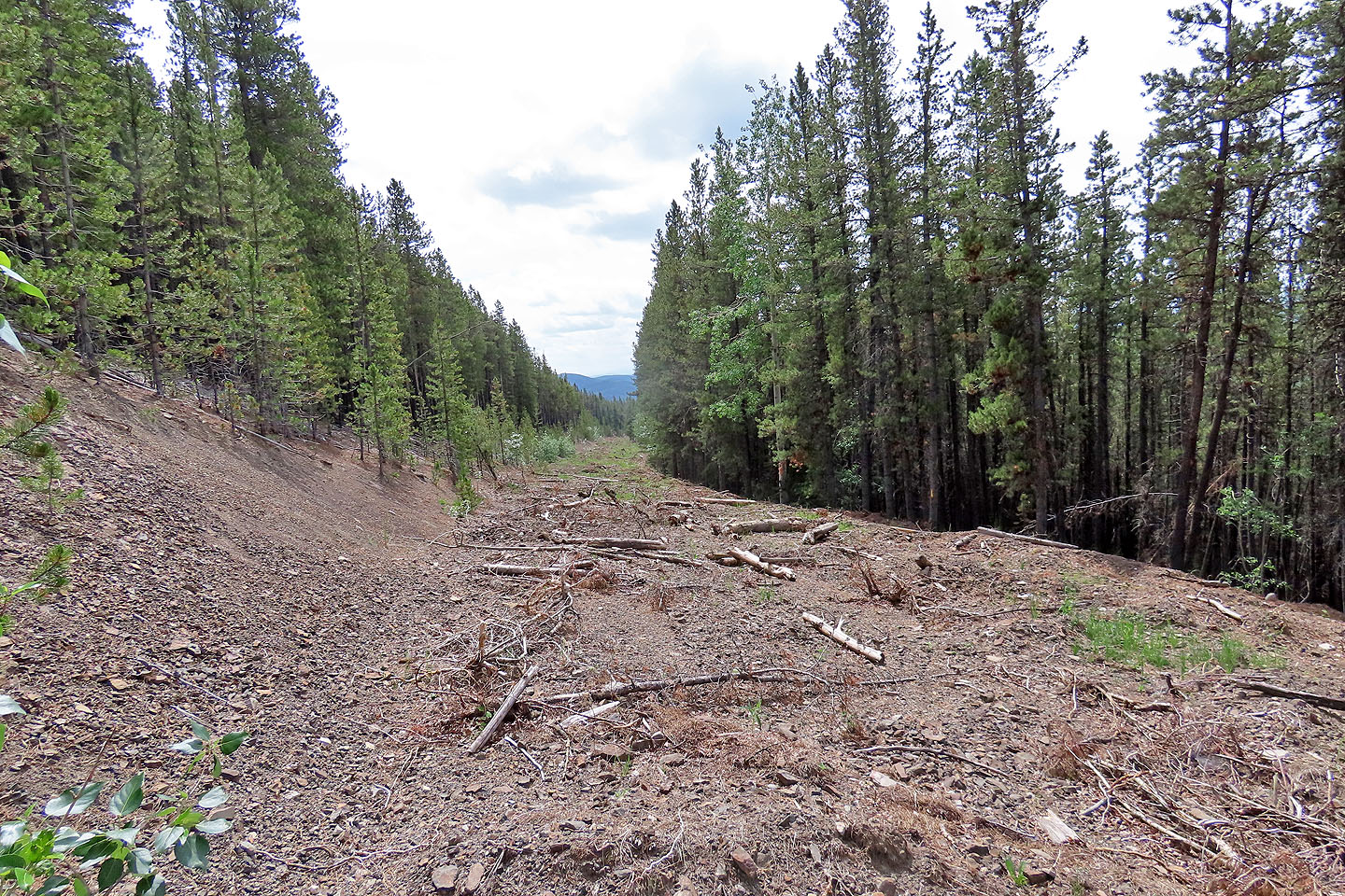
When I studied a map of a ridge north of Waiparous Village, I saw an easy ascent: a back road climbed almost to the summit. But when I drove down Highway 579 to the road, a sign gave me pause: “Do Not Enter. Reclamation Area.” The beginning of the road, at least, was torn up and covered with logs and branches. I set off, hoping to bypass the reclamation area and continue up the road, but I soon realized the entire road was ripped up.
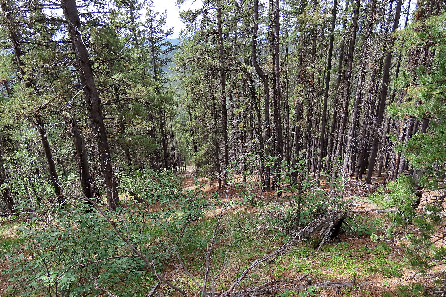
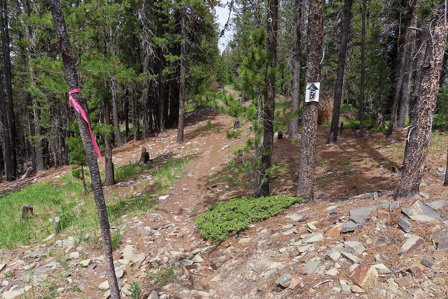
At first, I followed animal trails next to the debris-filled road. Eventually, however, dense bushes and deadfall drove me onto the ugly road. I didn't enjoy the approach but hesitated to climb to the ridgeline; I was concerned it might be rife with deadfall. But when I saw a cutline, I followed it up. Surprisingly, I found a ridge trail with fallen trees cut and cleared. I followed the trail to the summit.
There were no views from the forested top, so I continued 250 m along the ridge to where the road crosses. I was hoping to find views here, but although there was a large clearing, tall trees prevented any sights. I returned to the summit.
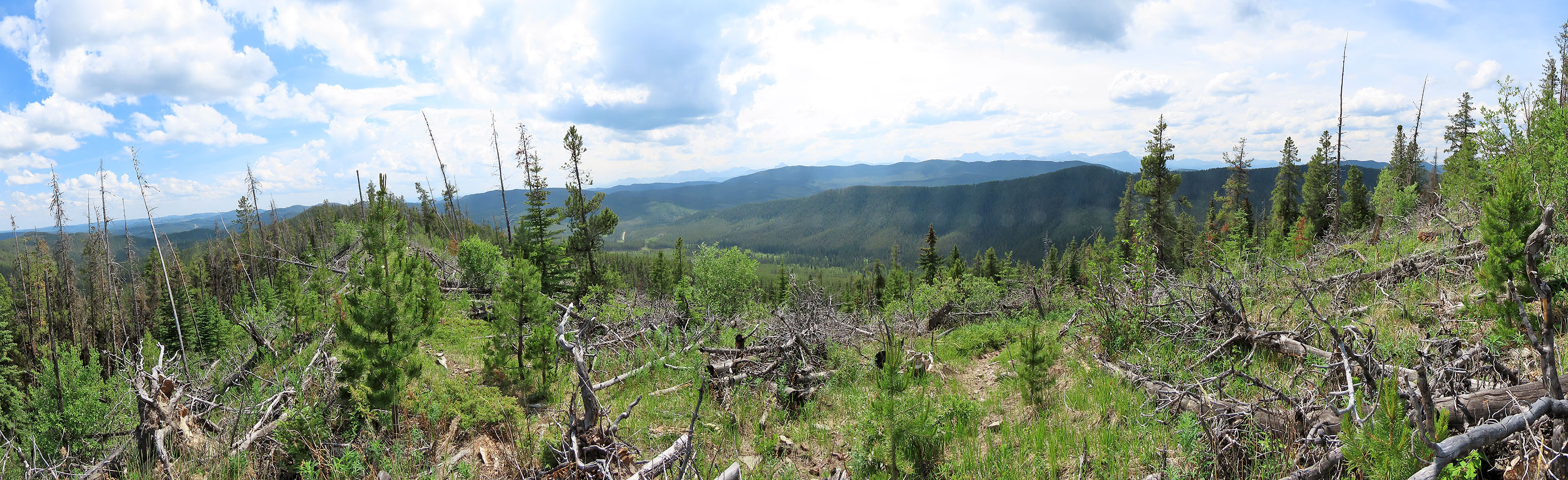
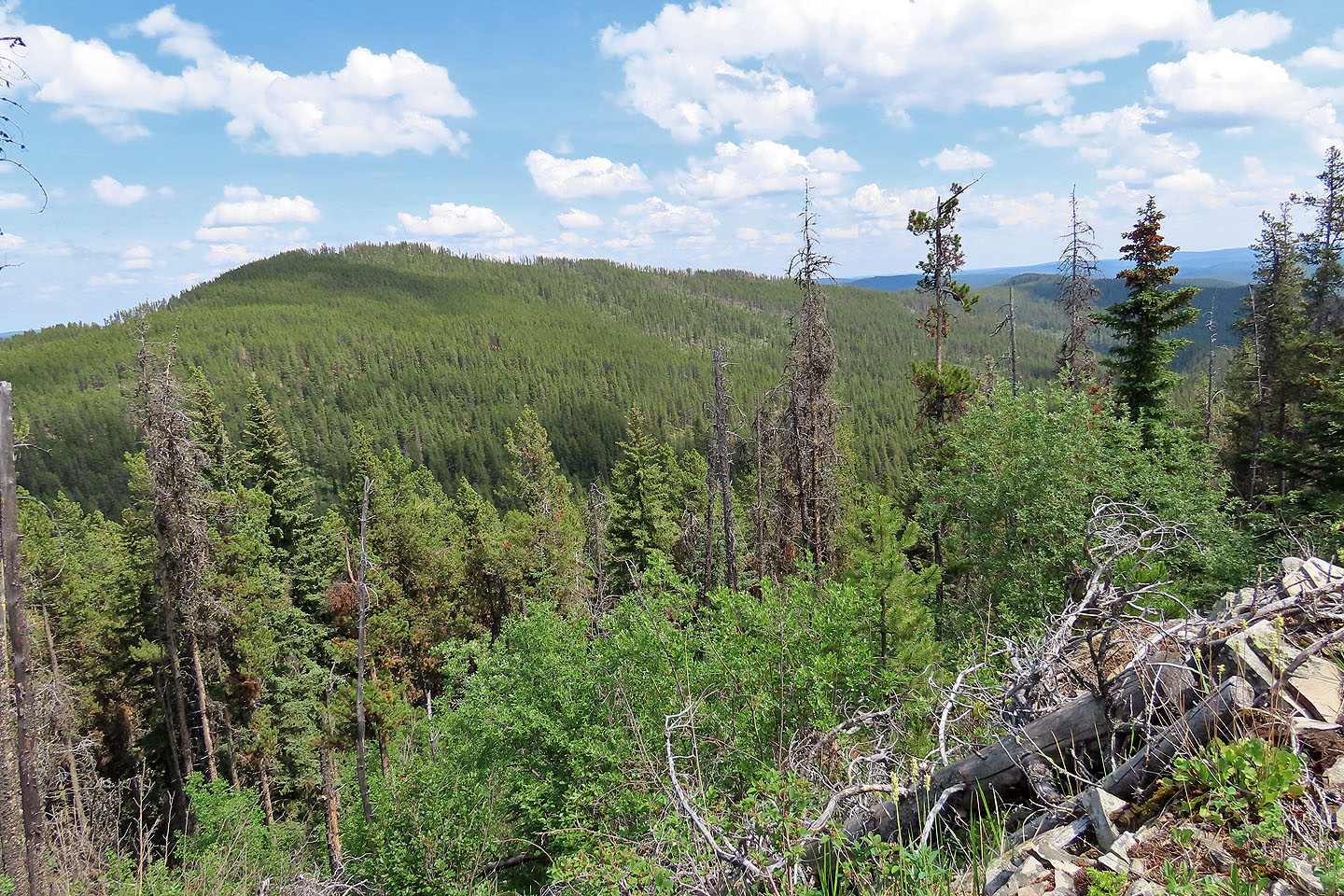
The top, however, is indistinct. Of a couple of possible high points, I picked one and built a summit cairn. After taking a break, I started down the trail, intent on following it back. Along the way, I passed clearings with far-ranging views, as much as the smoky haze would allow. (The panorama at the top of this page was taken at one of these clearings.)
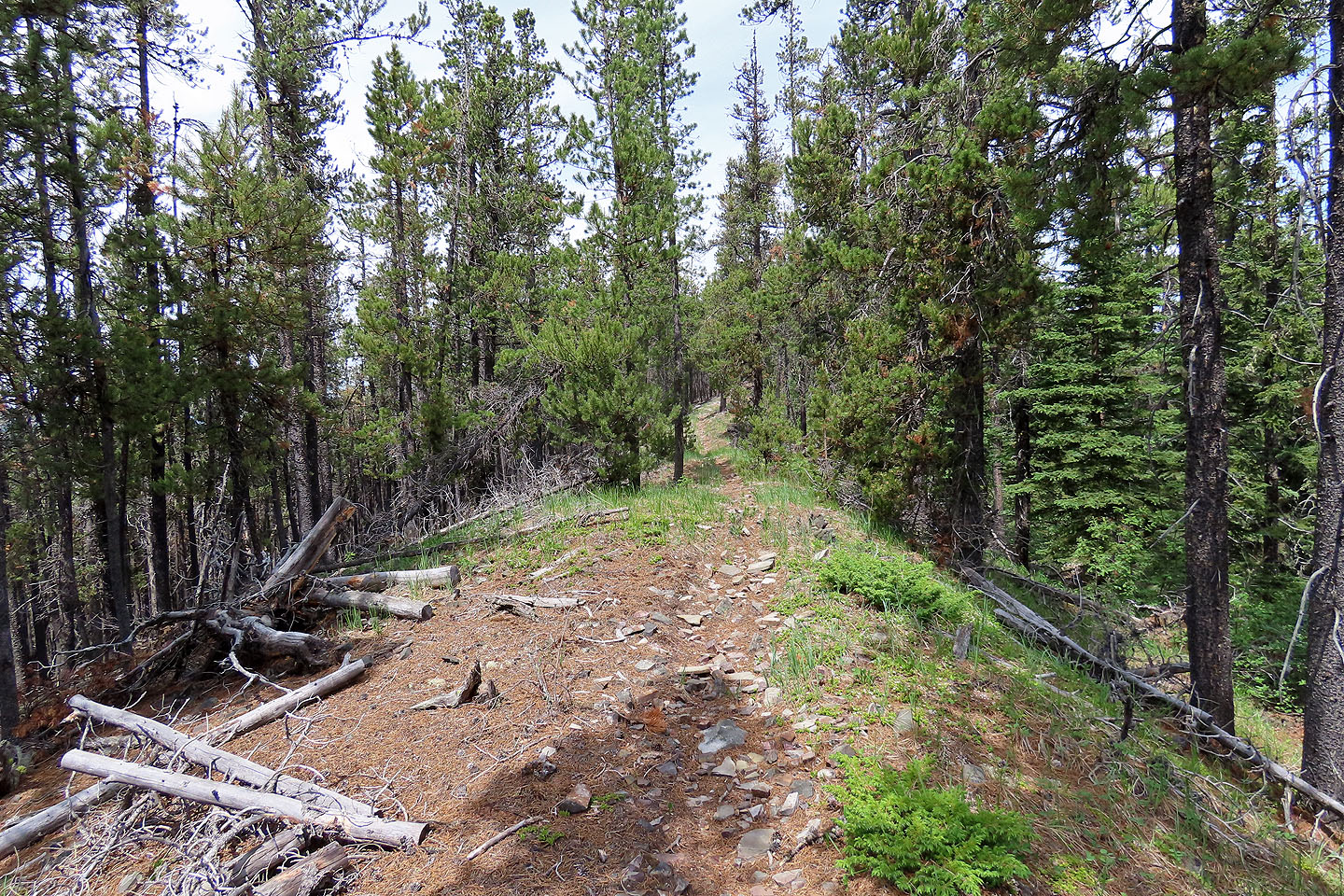
When I reached a trail that dropped down the southwest slope, I took it. Continuing down the ridge trail to Highway 579 would likely leave me a couple of kilometres from my car. But from where I stood, I was only a kilometre away. Fortunately, the trail down the slope led straight to my car. I recommend taking my descent route up and down.
If this ridge has a name, I was unable to find it. I did learn from a Ghost Public Land map that as recently as 2018 not only was it possible to drive up the now-defunct road, but like Highway 40, only on-highway registered vehicles were allowed and no off-road vehicles. Now neither is allowed. I also found what appears to be a reference to a meadow by the road, Greenview. That led me to suggest the name, Greenview Ridge.
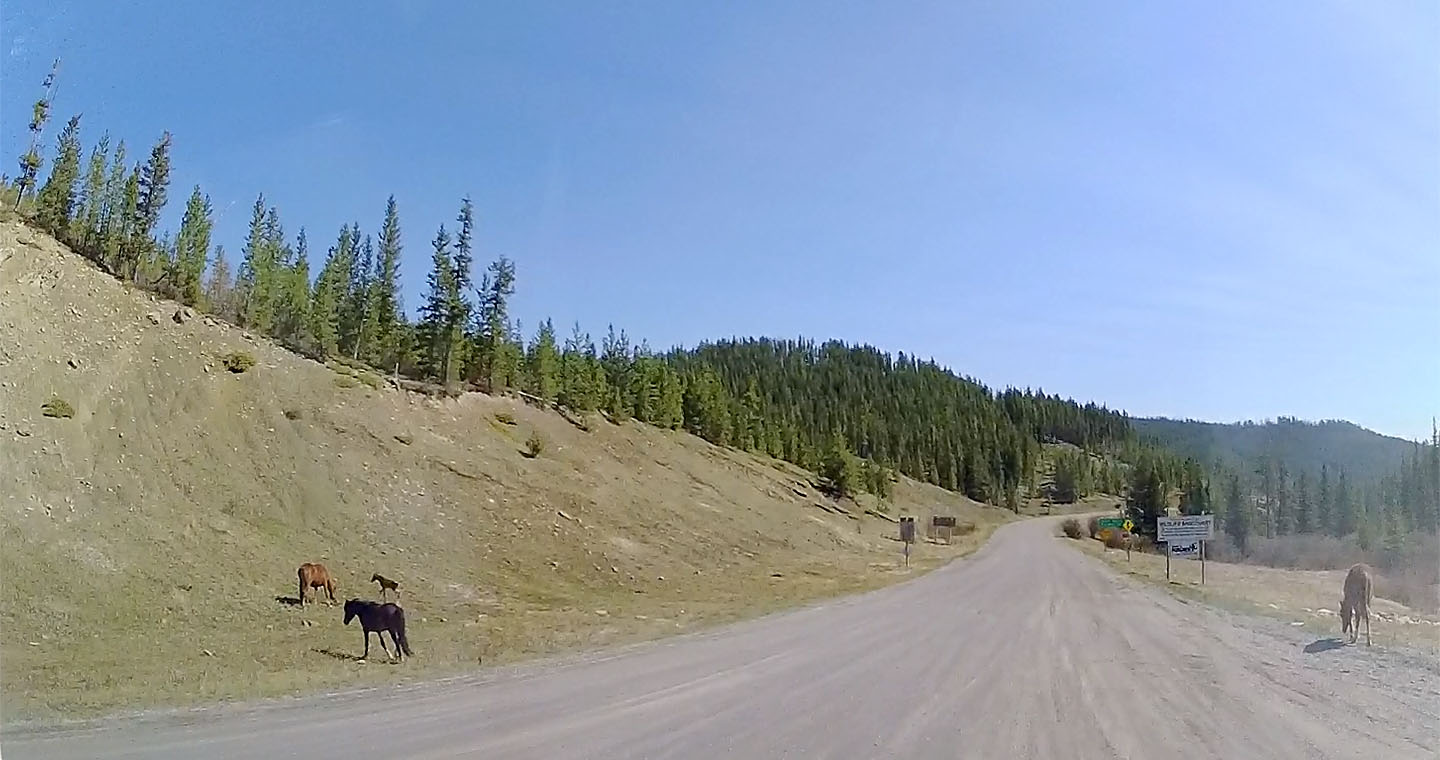
Wild horses graze at the junction of Highways 40 and 579. The trailhead is just over 1 km from here.
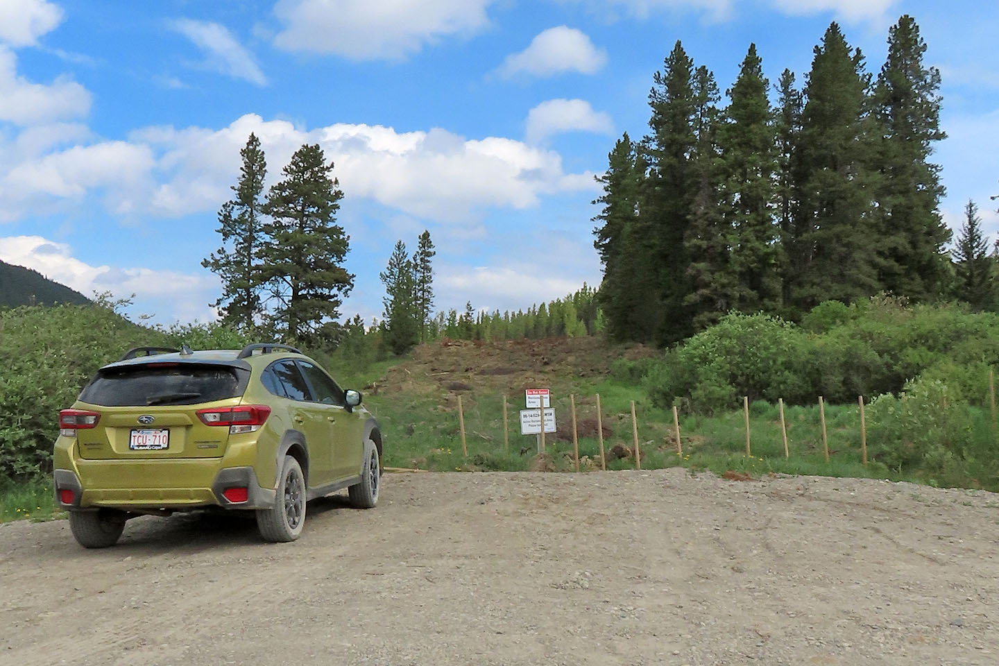
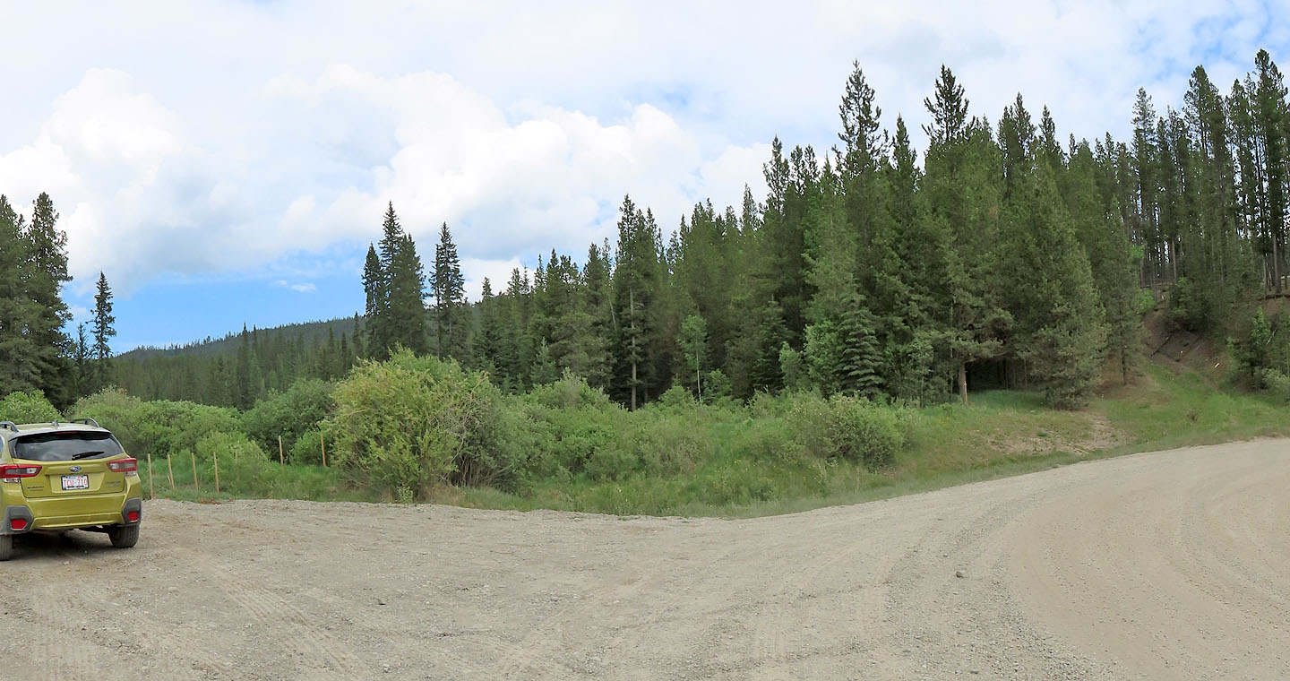
I parked in front of the decommissioned road
At first it was easier to follow animal trails alongside the road
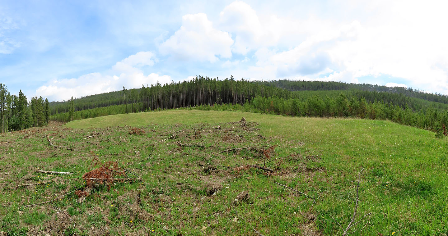
The road passes a huge meadow. Perhaps this is Greenview.
Looking back after following the road for 2 km
Looking down at the road after hiking partway up the cutline
A good trail follows the ridge. Note the cut logs on the left.
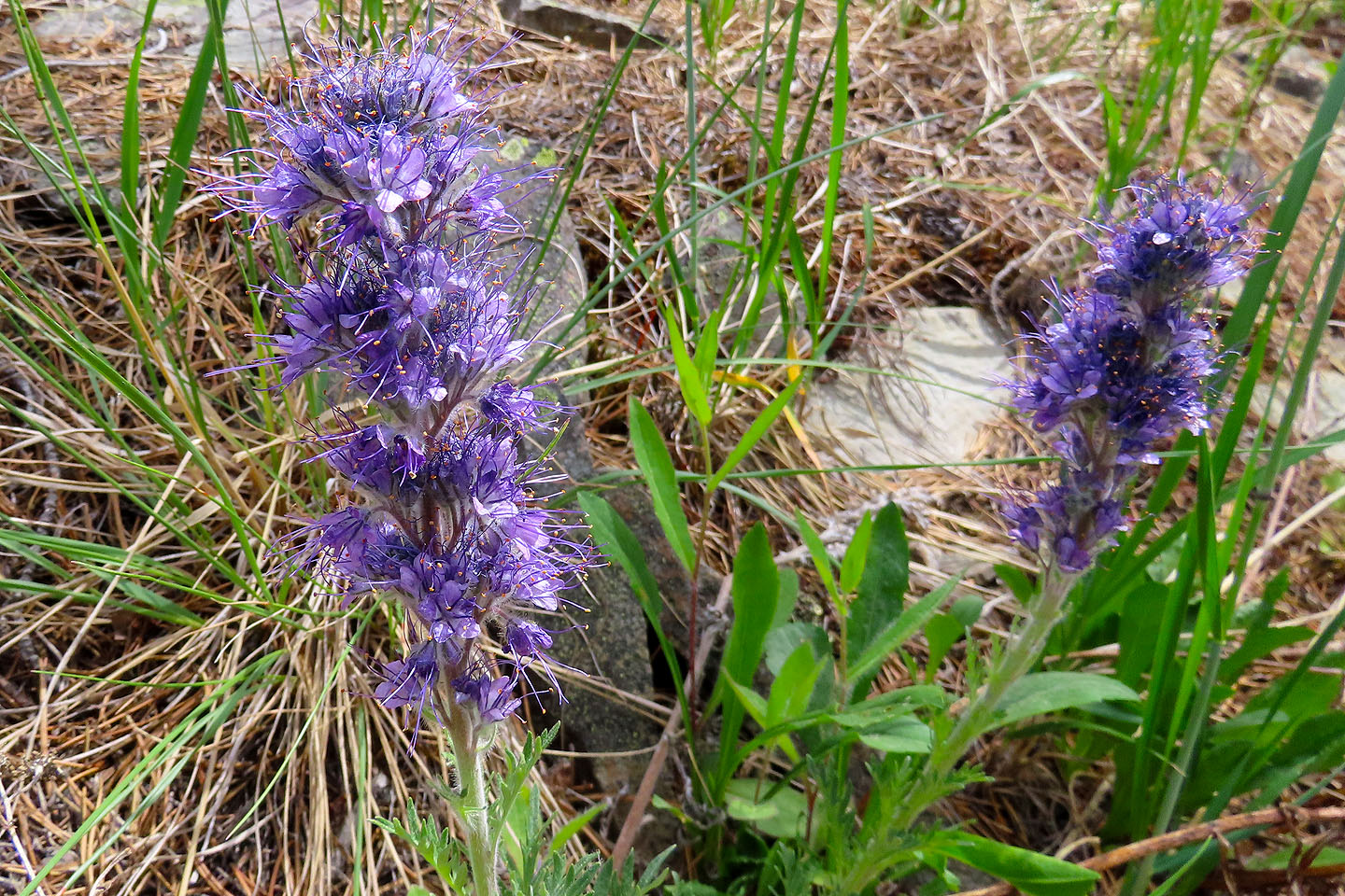 Silky scorpionweed
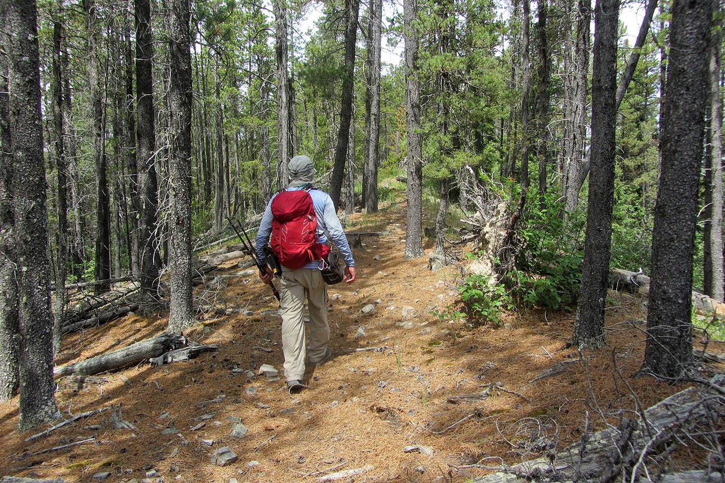
I hiked easily along the trail
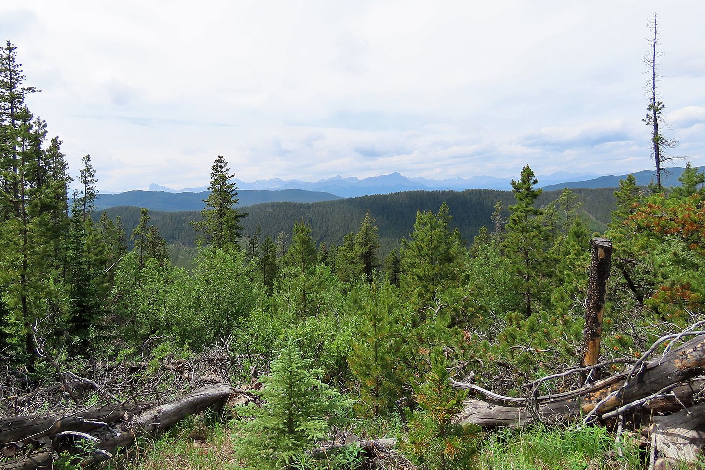
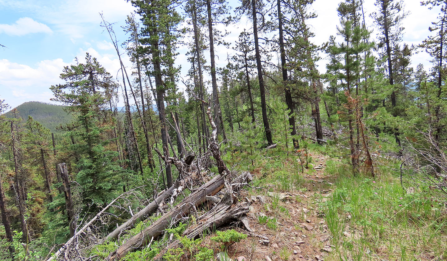
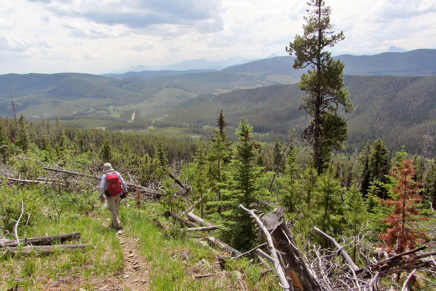
There were a few views along the trail
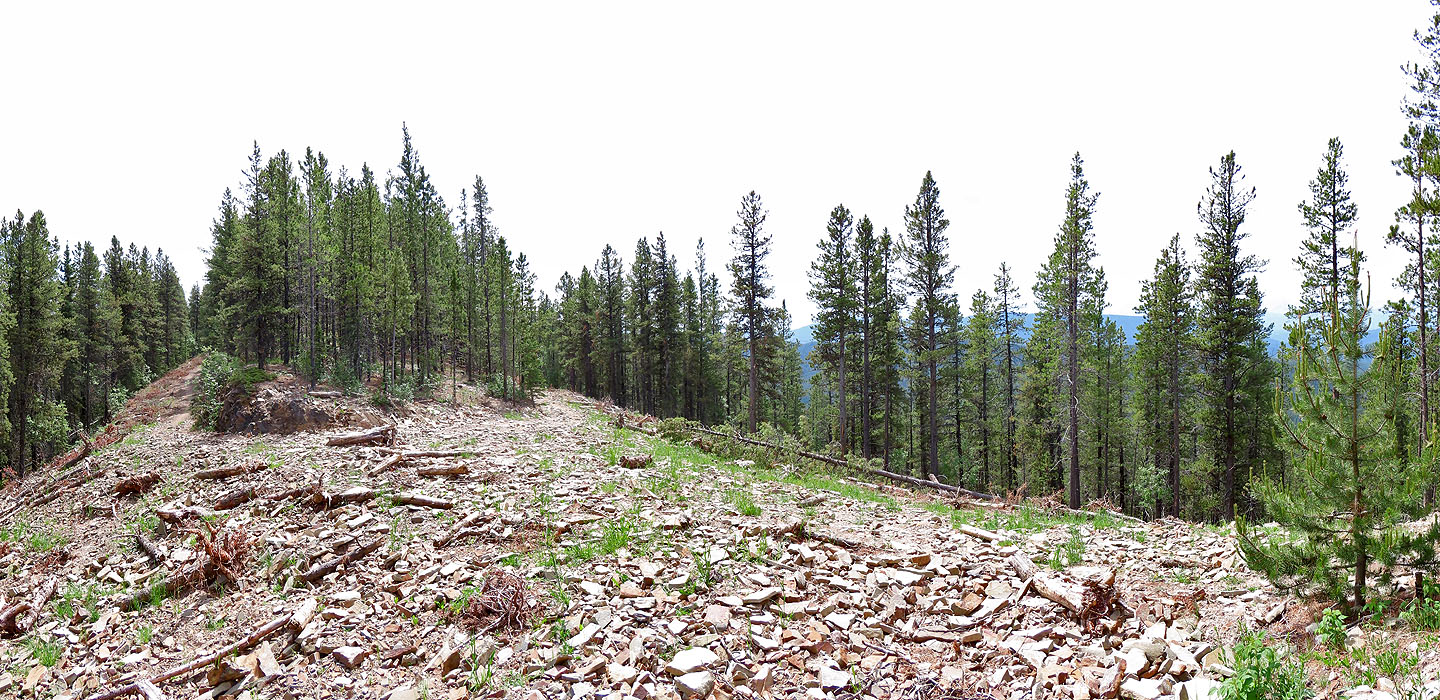
I continued past the summit to where the road crosses the ridge, but there were no views
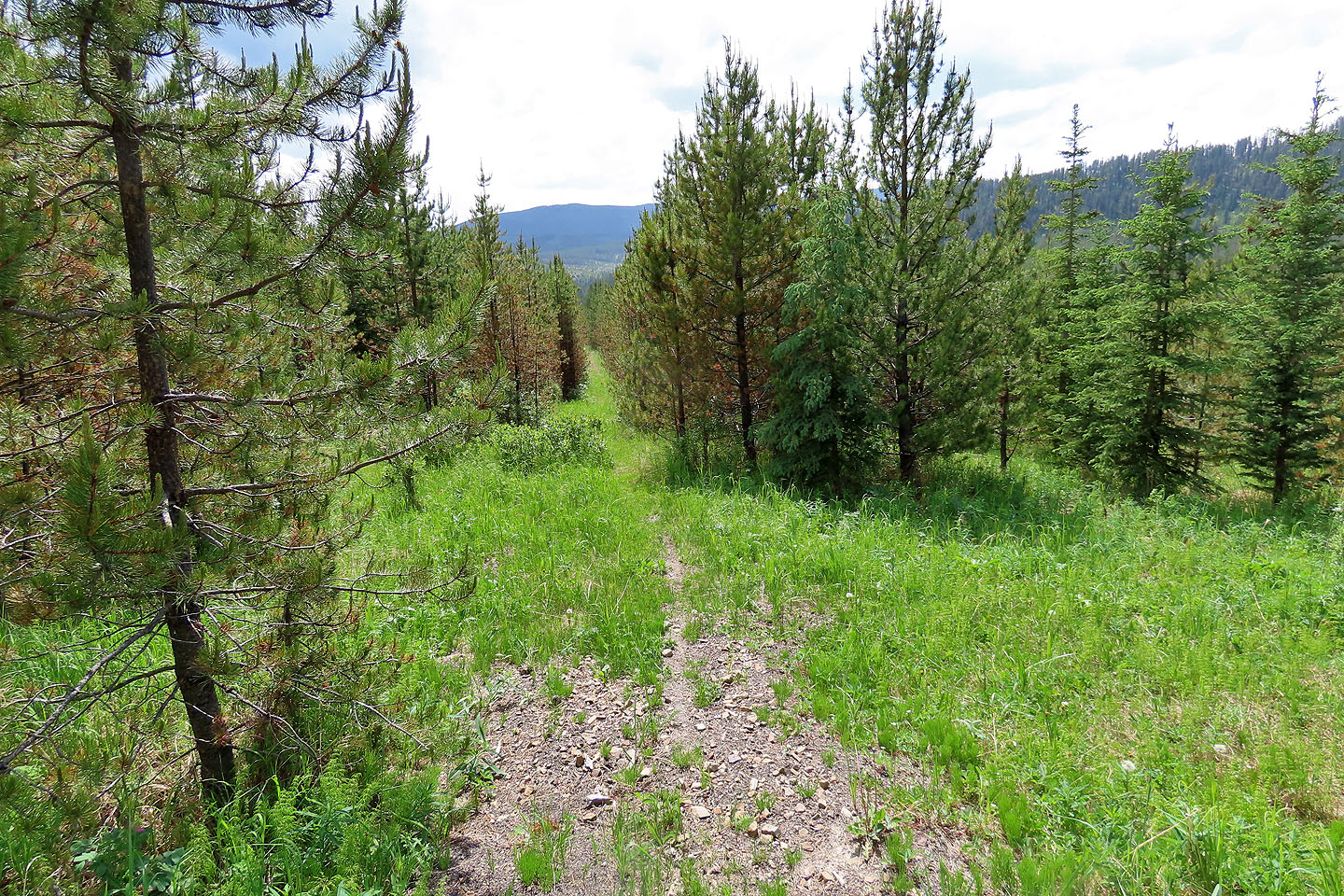
The ridge trail continues north
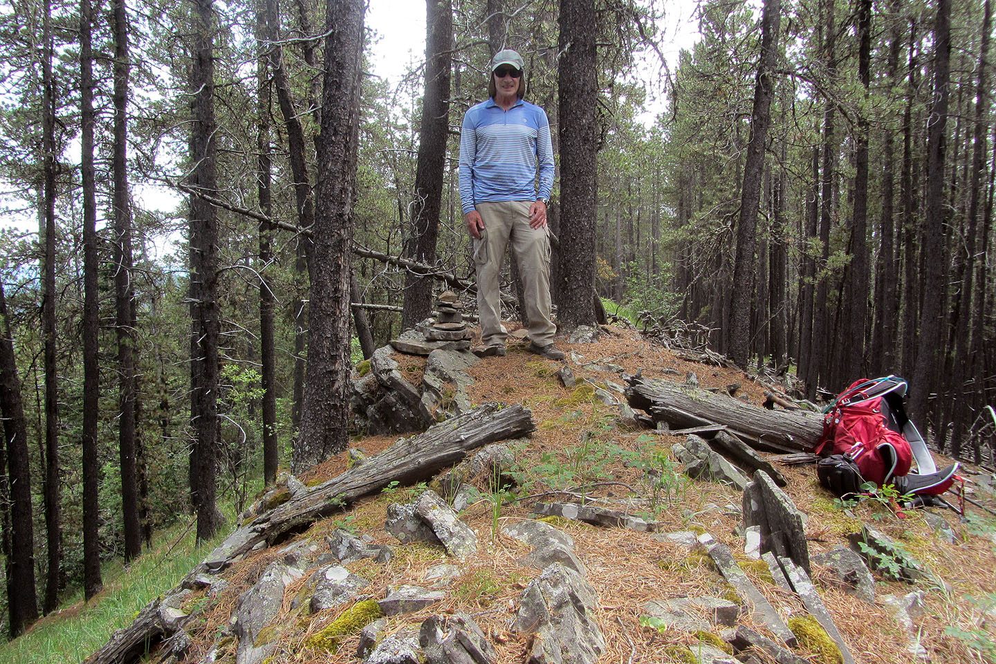
I built a cairn on one of the high points
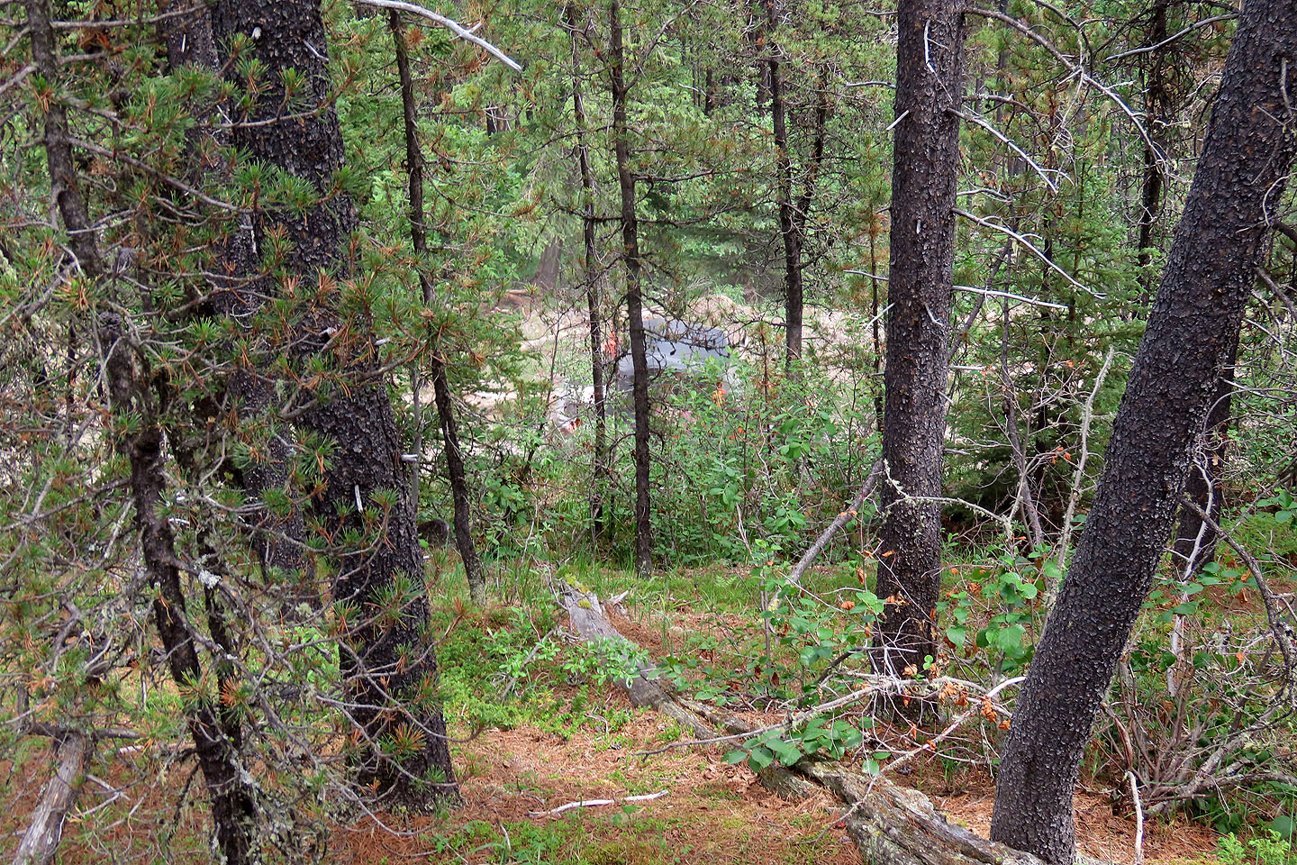
Below the summit, an ATV drives down the road
I followed the ridge trail back
A few weeks earlier, I attempted the east outlier but turned back after encountering extensive deadfall
Barely visible in the haze far right is Devil's Head
The trail down the slope led to my car
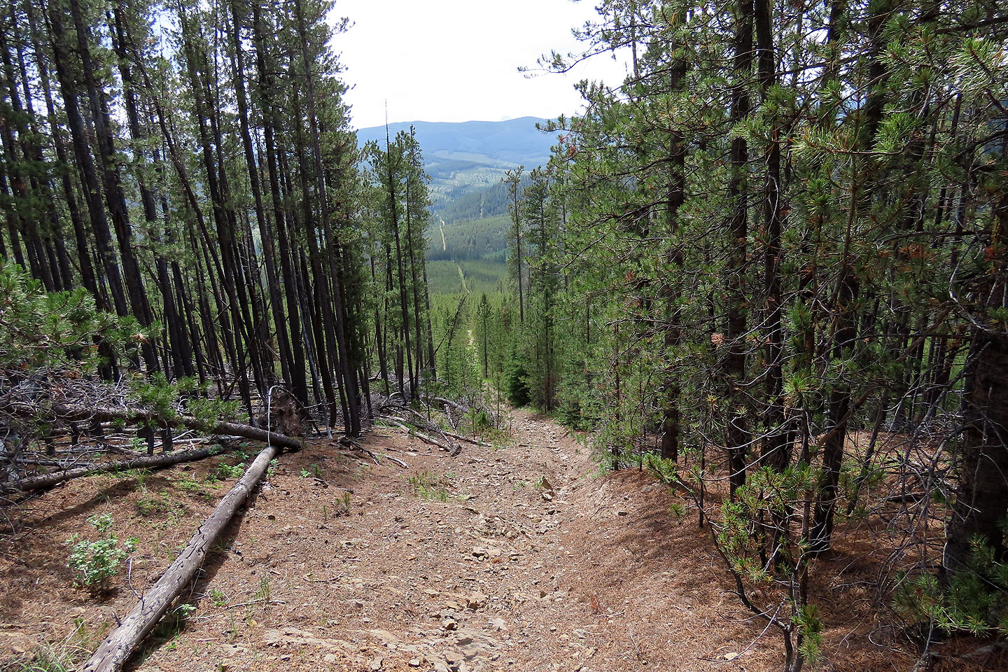
At the bottom, the trail cuts through the trees
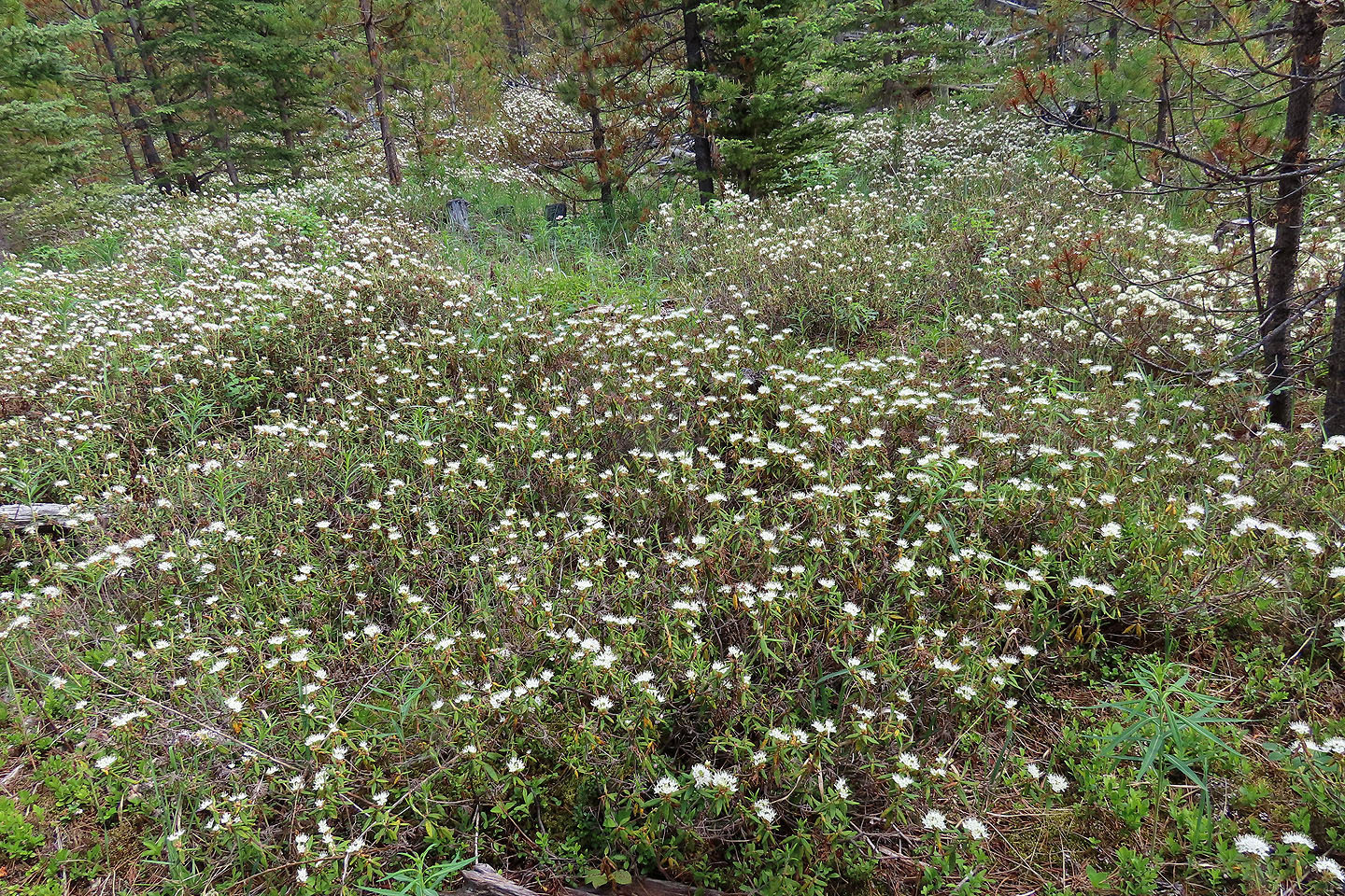
Labrador tea wildflowers filled a glade by the trail (mouse over for a close-up)
I returned on the trail in the trees on the far right
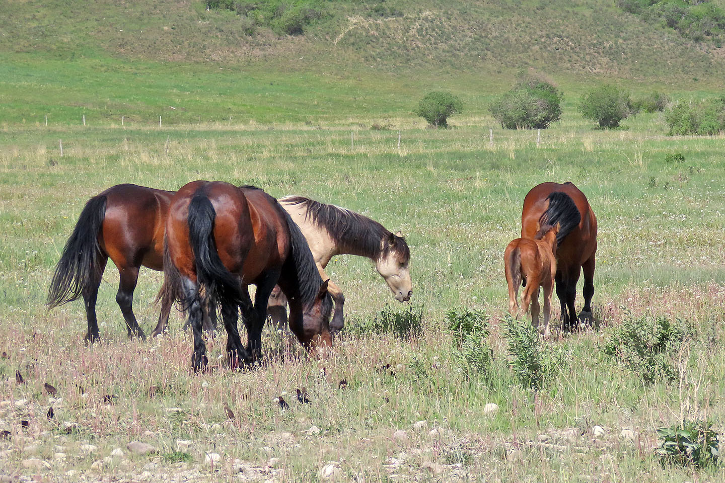
Driving back on Highway 40, I passed wild horses

82 O/6 Lake Minnewanka. Pink indicates my ascent.