bobspirko.ca | Home | Canada Trips | US Trips | Hiking | Snowshoeing | MAP | About
Tallon Peak (East Approach)
Crowsnest Pass, Alberta
February 28, 2009
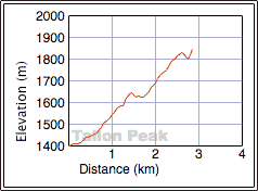
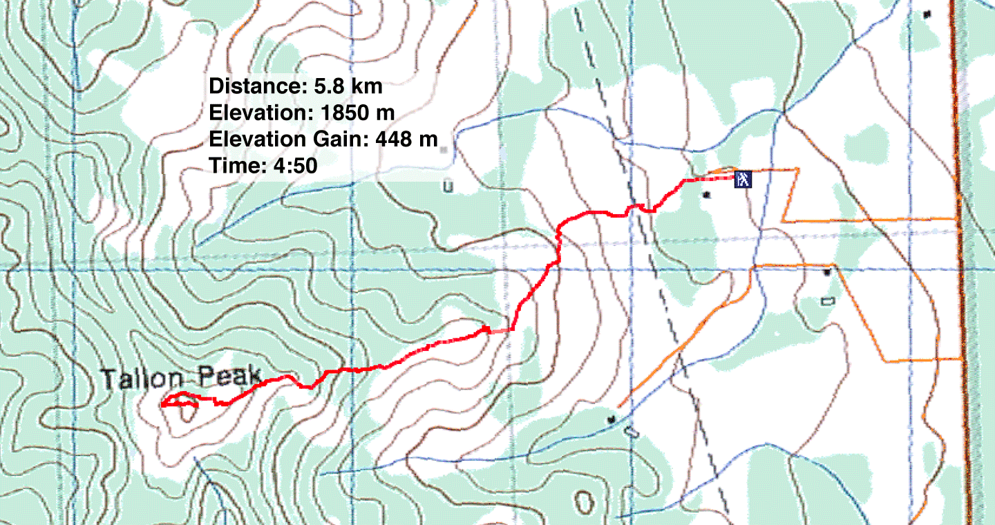
Distance: 5.8 km (3.6 mi)
Cumulative Elevation Gain: 542 m (1778 ft)
Although we climbed Tallon and Robertson Peaks using the south approach in the spring years ago, we decided to climb Tallon Peak in the winter using the route in Hiking the Historic Crowsnest Pass. The only difficulty we anticipated was land access: since the book was printed, privatization has prohibited some routes in Crowsnest Pass.
Following the book instructions, we drove up the gravel road (Township Road 75) only to confront signs such as “No Trespassing” and “Trespassers Will Be Prosecuted.” We stopped at a house to obtain firsthand information. The resident told me not to worry, and that the signs were there to discourage hunters. Just the same, ask for permission whenever you enter any private property. Few landowners in this area would deny access to hikers wanting to cross private land.
After parking on the roadside, we hiked west up the road, through a gate (ignoring the “Keep Out” signs) and headed to Tallon Peak. We soon gained the west ridge that leads to the summit. We probably missed the trails and roads described in the book – the snow hid those – but we had no problem hiking up the ridge. For the most part, the snow layer was thin and offered little resistance.
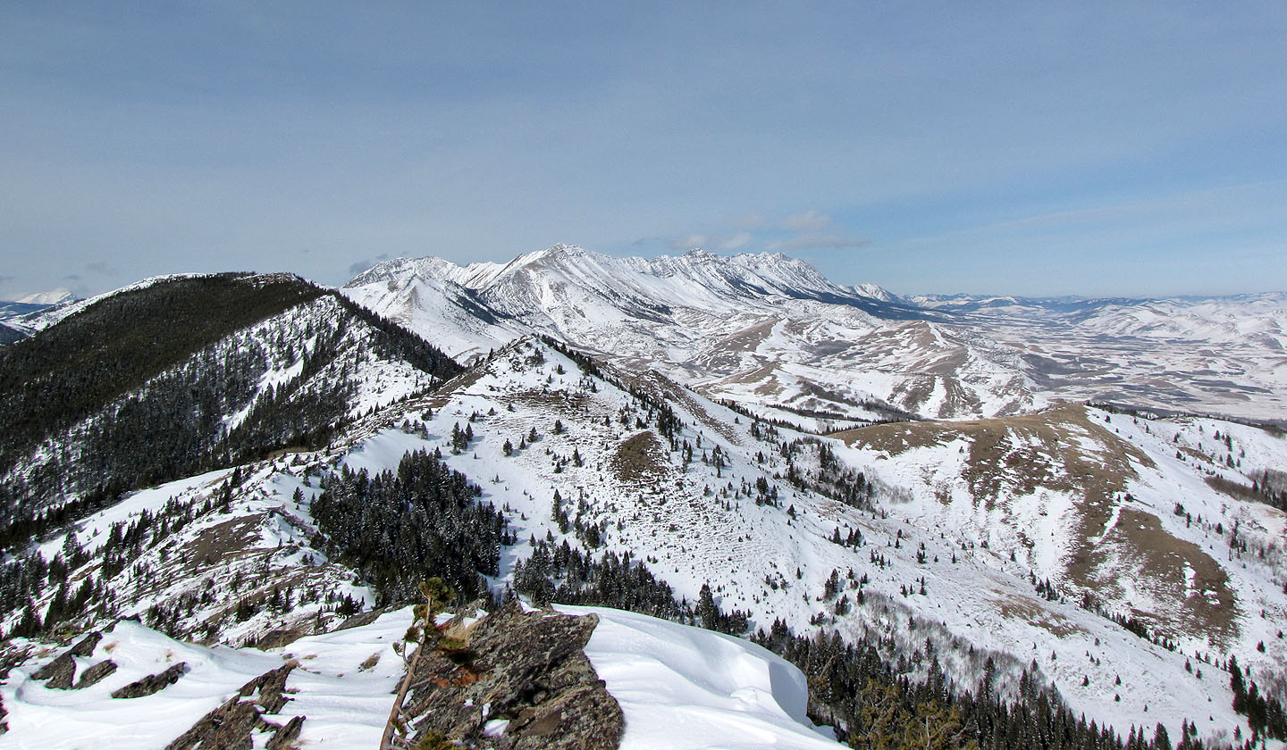
At the summit block, we diverged from the book route by circumventing it on the north side instead of the south. After following a cliff band a short distance we found a weakness and climbed to the summit of Tallon Peak. Despite being a diminutive mountain, the summit views were rewarding.
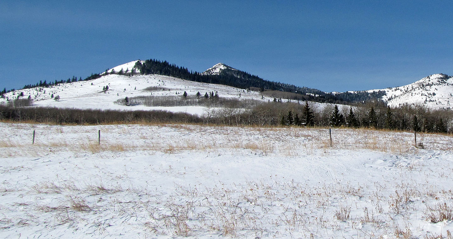
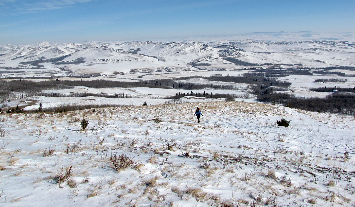
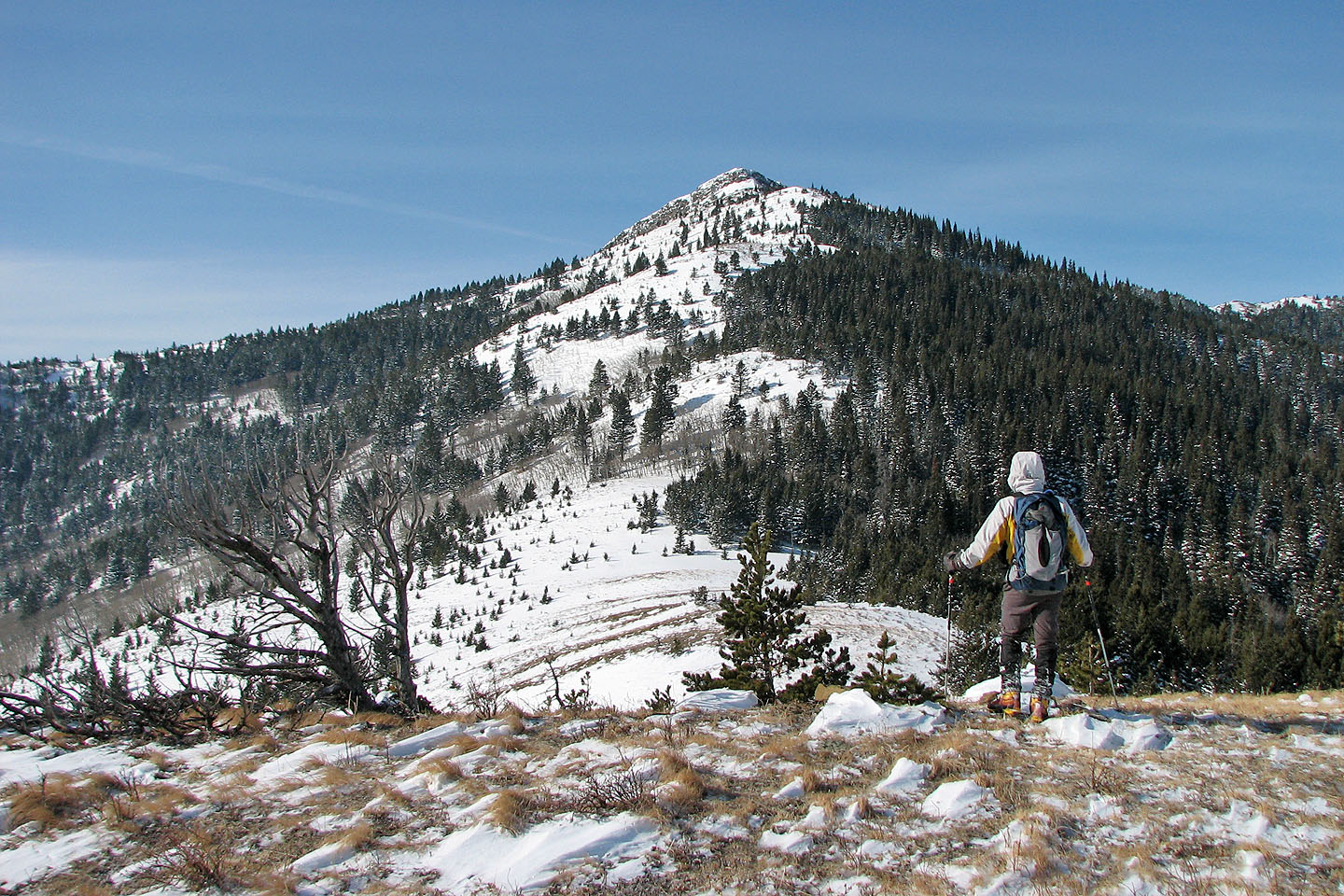
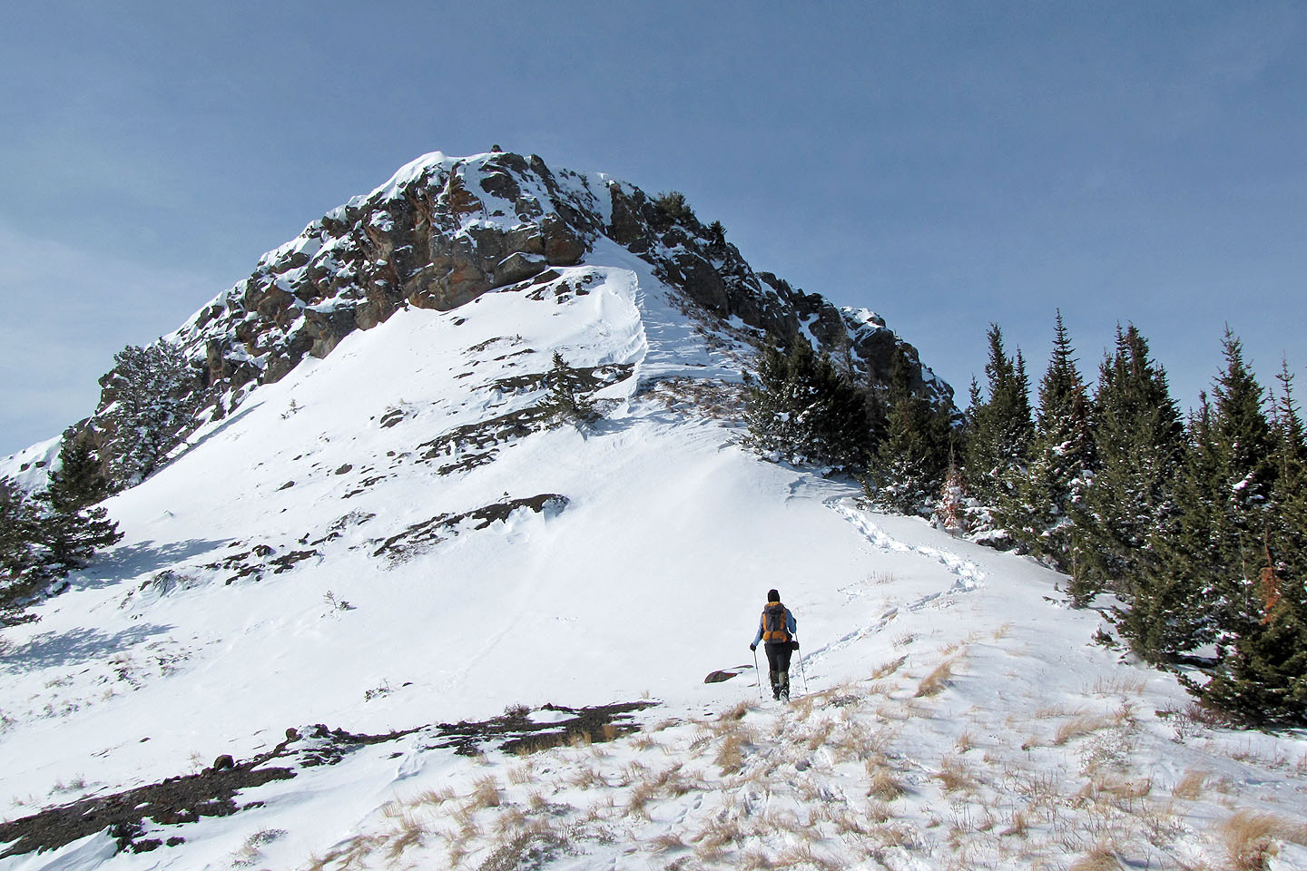
Tallon Peak (centre, seen from our start point) is preceded by a ridge on the left
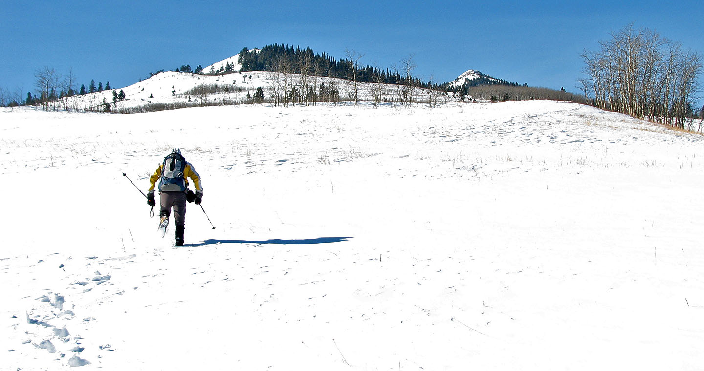
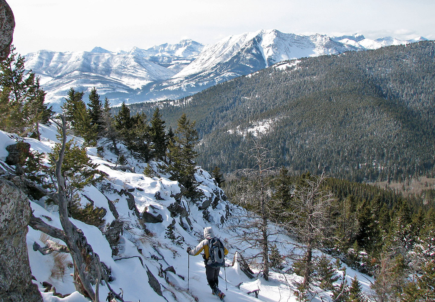
Heading to the ridge
Looking back
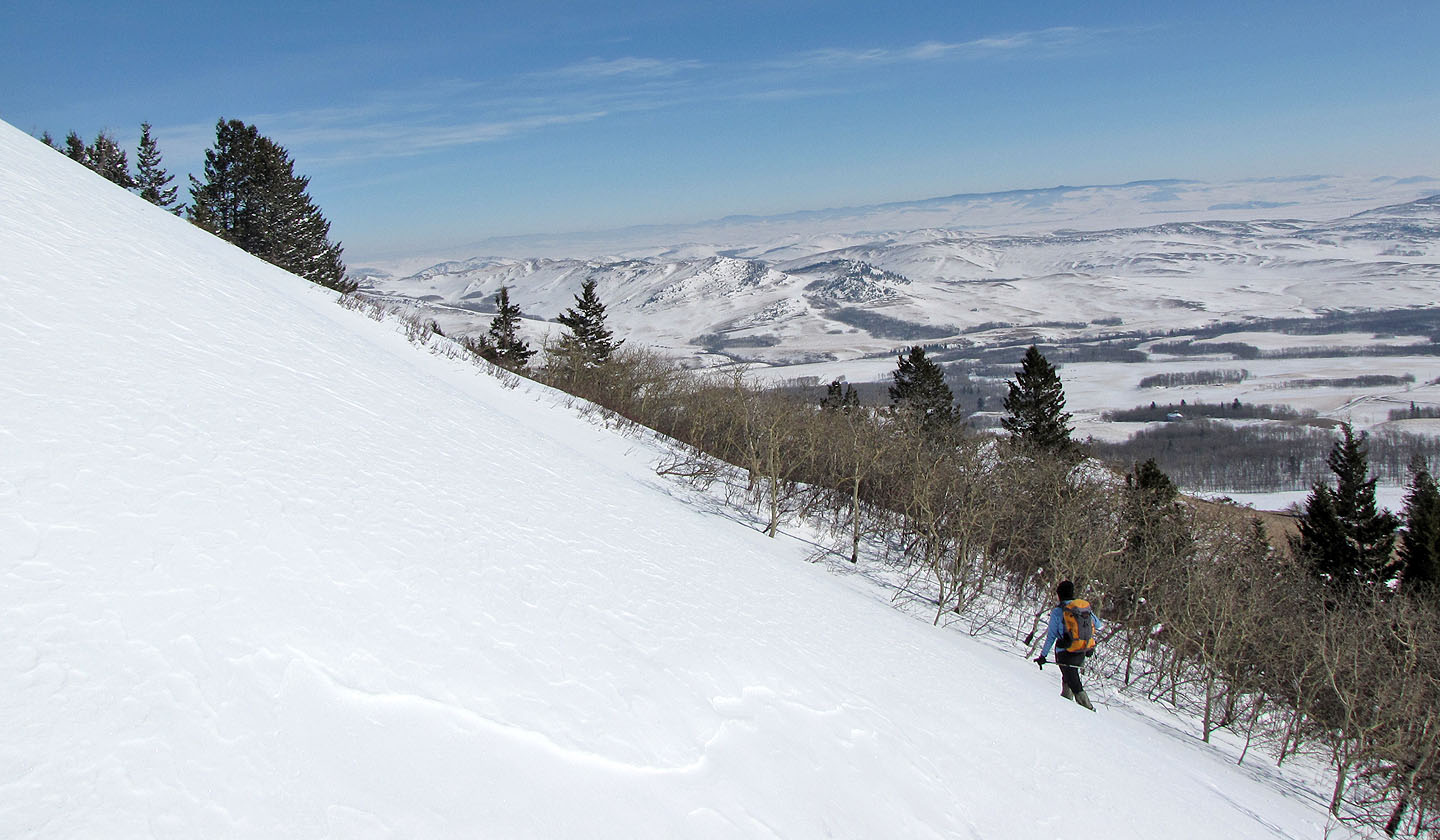
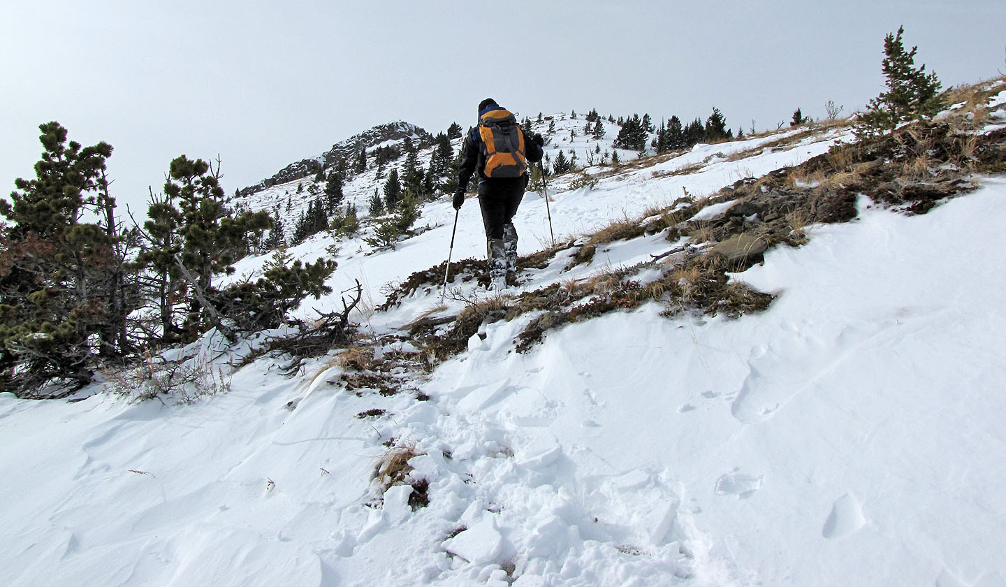
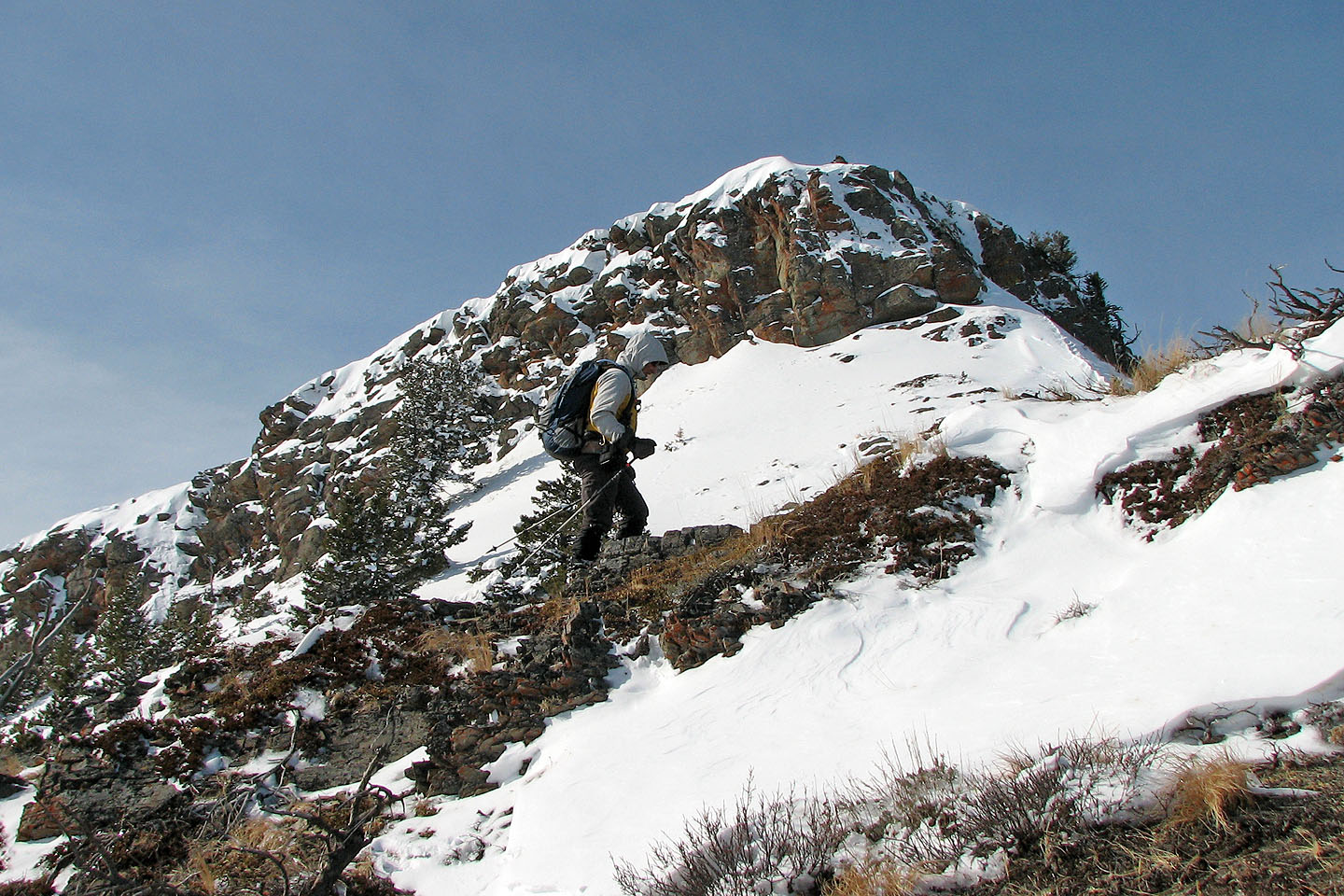
Starting up a steep slope
The slope was steeper than we expected so we went around to find an easier grade
We're almost on the ridge
On the ridge with Tallon Peak ahead
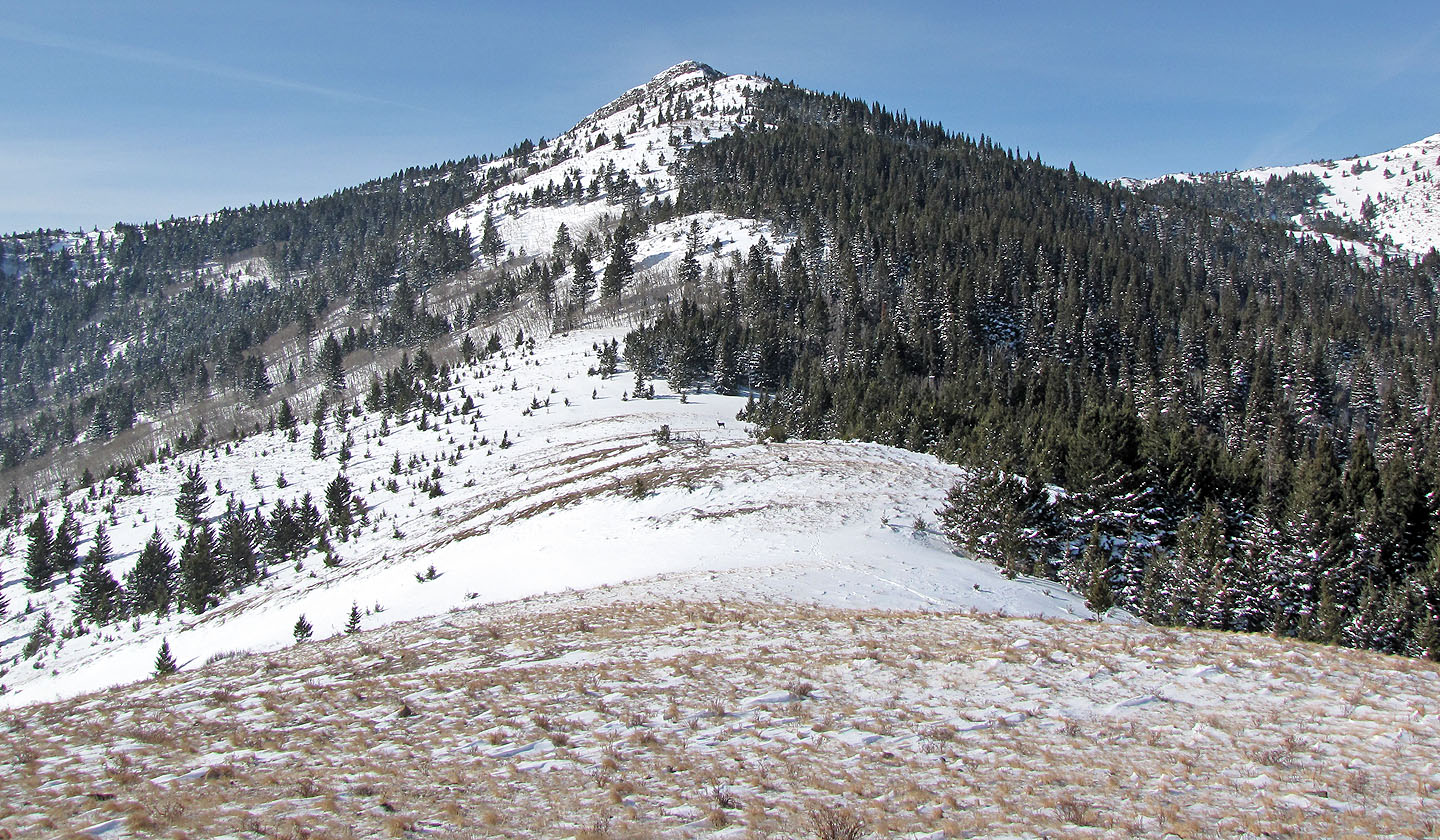
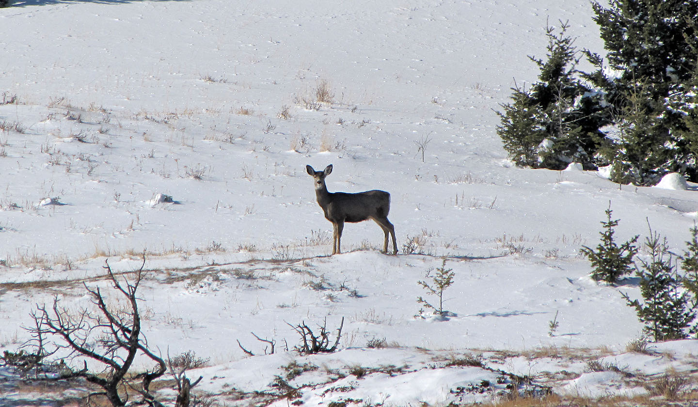
A deer (centre) watched us intently (mouse over for a close-up) before disappearing
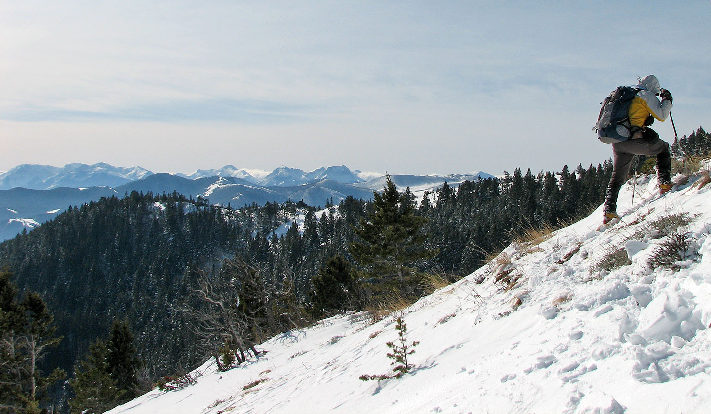
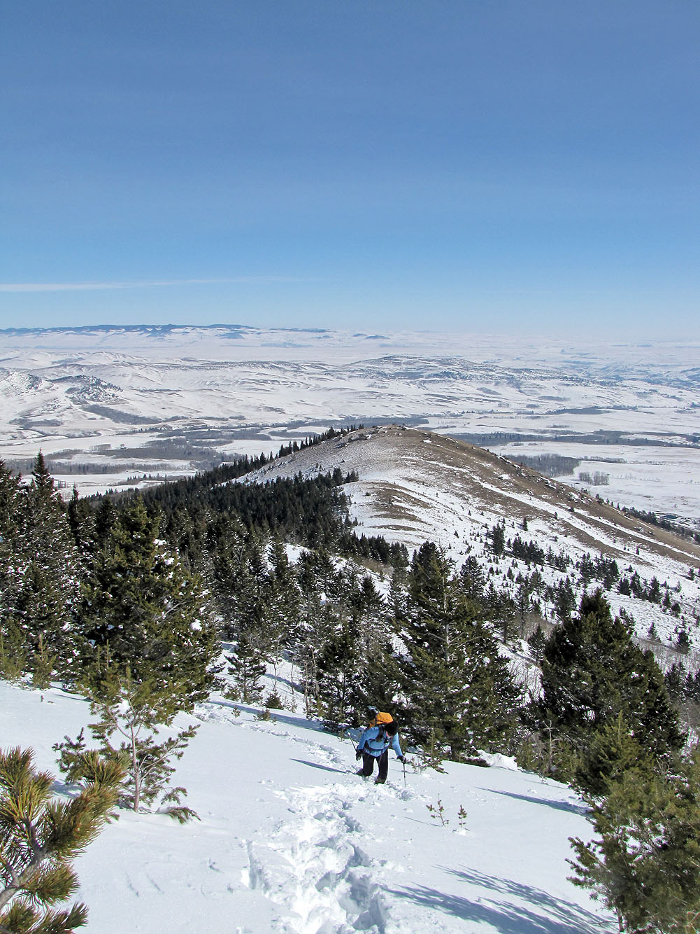
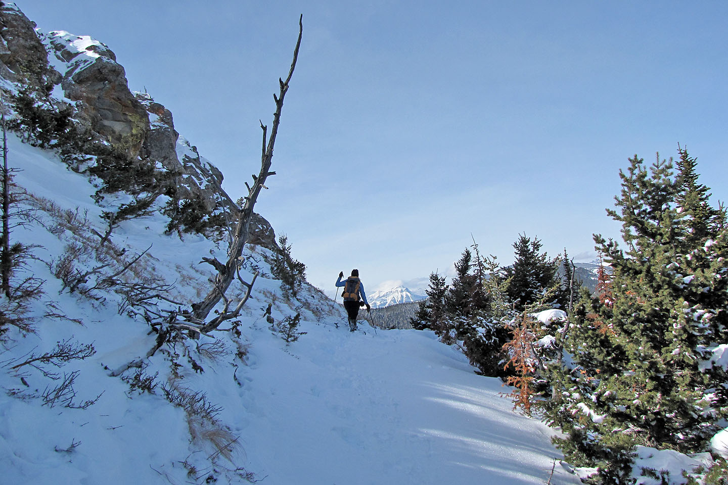
The views to the southwest appear as we ascend
Looking back at the ridge, nearly bare of snow, where we were minutes ago
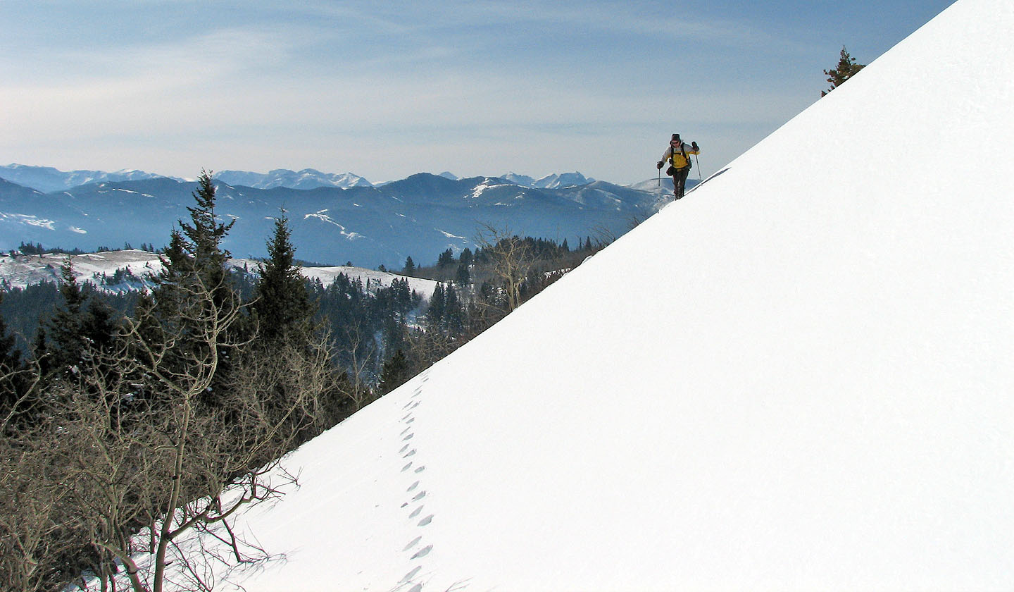
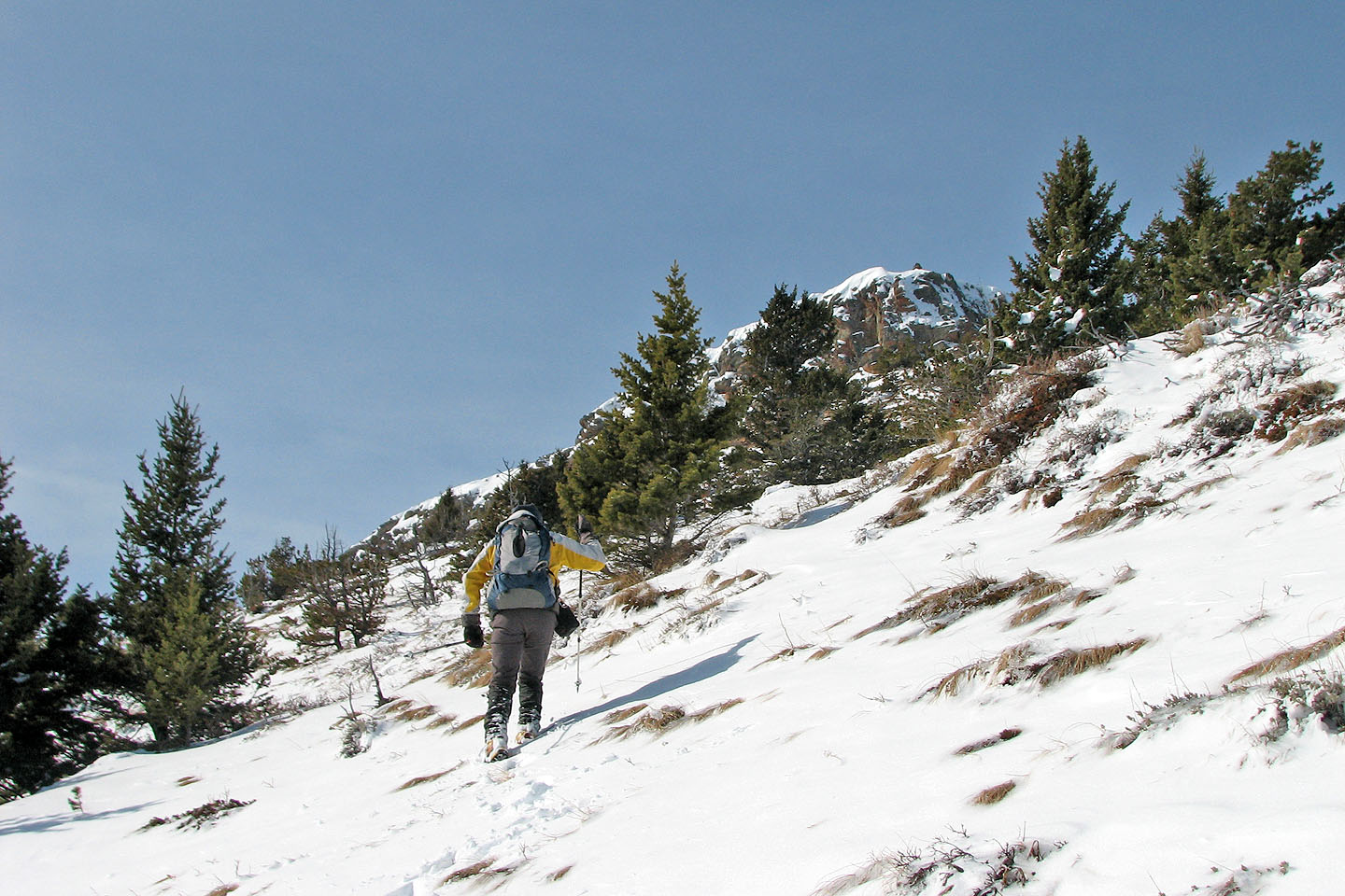
We followed the ridge to the summit
We hit deep snow here but fortunately someone had recently broke trail on snowshoes
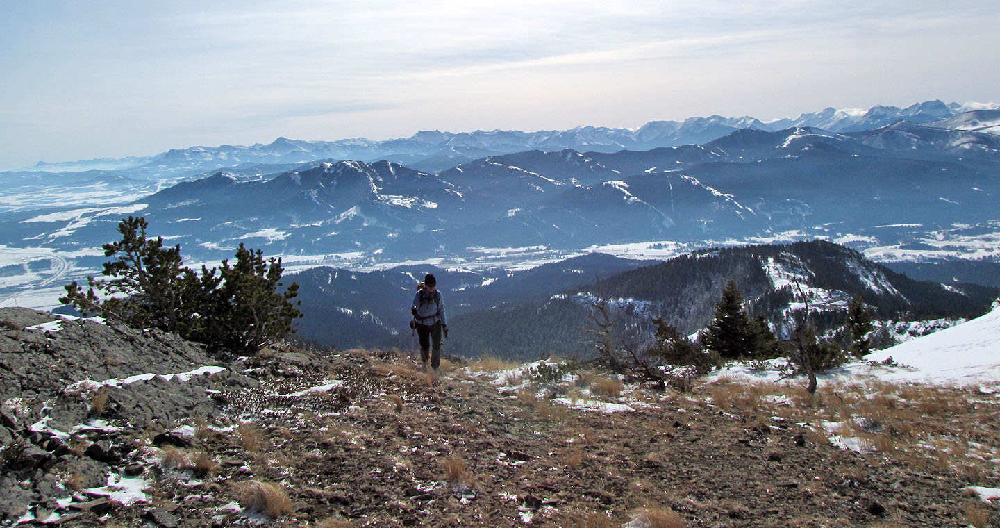
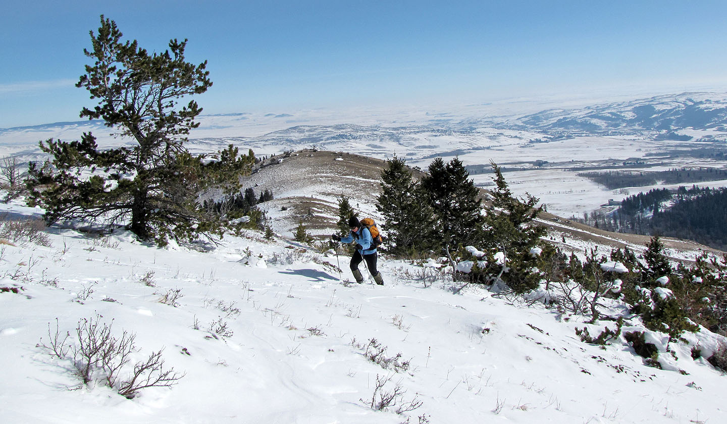
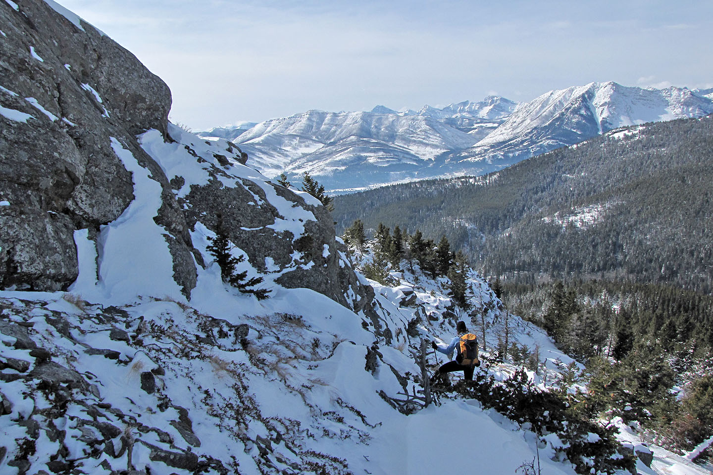
Looking south
We're close enough to see the summit cairn
We encountered the snowshoe tracks again and followed them to the north side of the summit block
In dry conditions it might be possible to scramble up somewhere, but we went up the backside
The snowshoe tracks headed right but we kept left, looking for a break in the cliff band
We circled the summit block looking for a way up
We find a weakness and take it
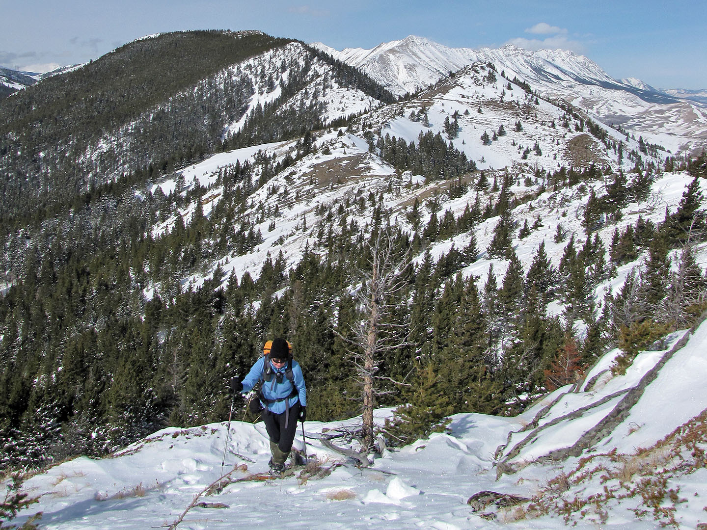
The ridge connects to Robertson Peak on the left
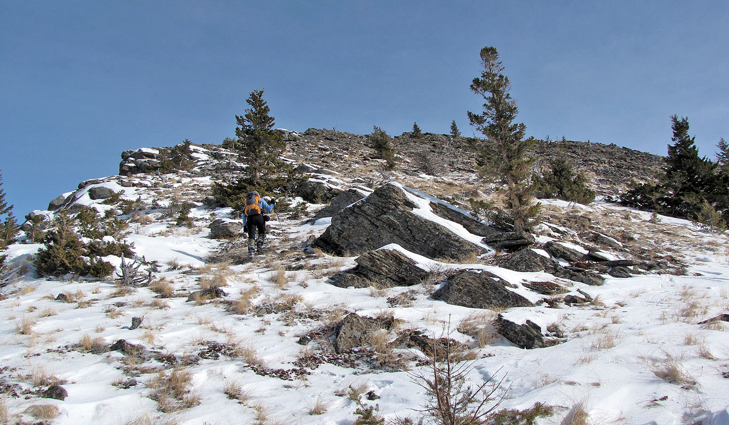
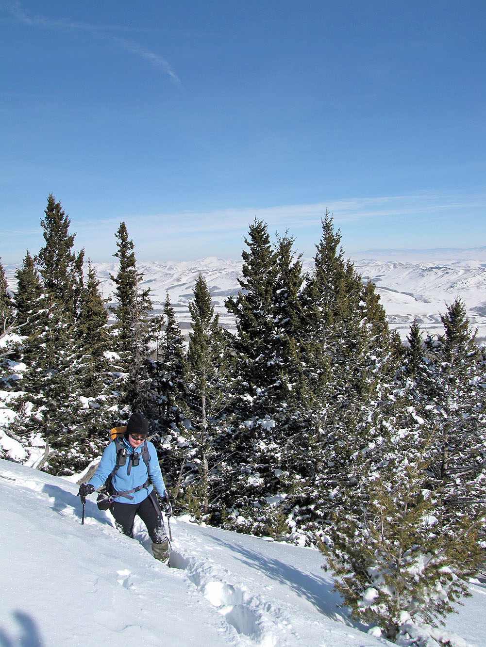
Hiking to the summit
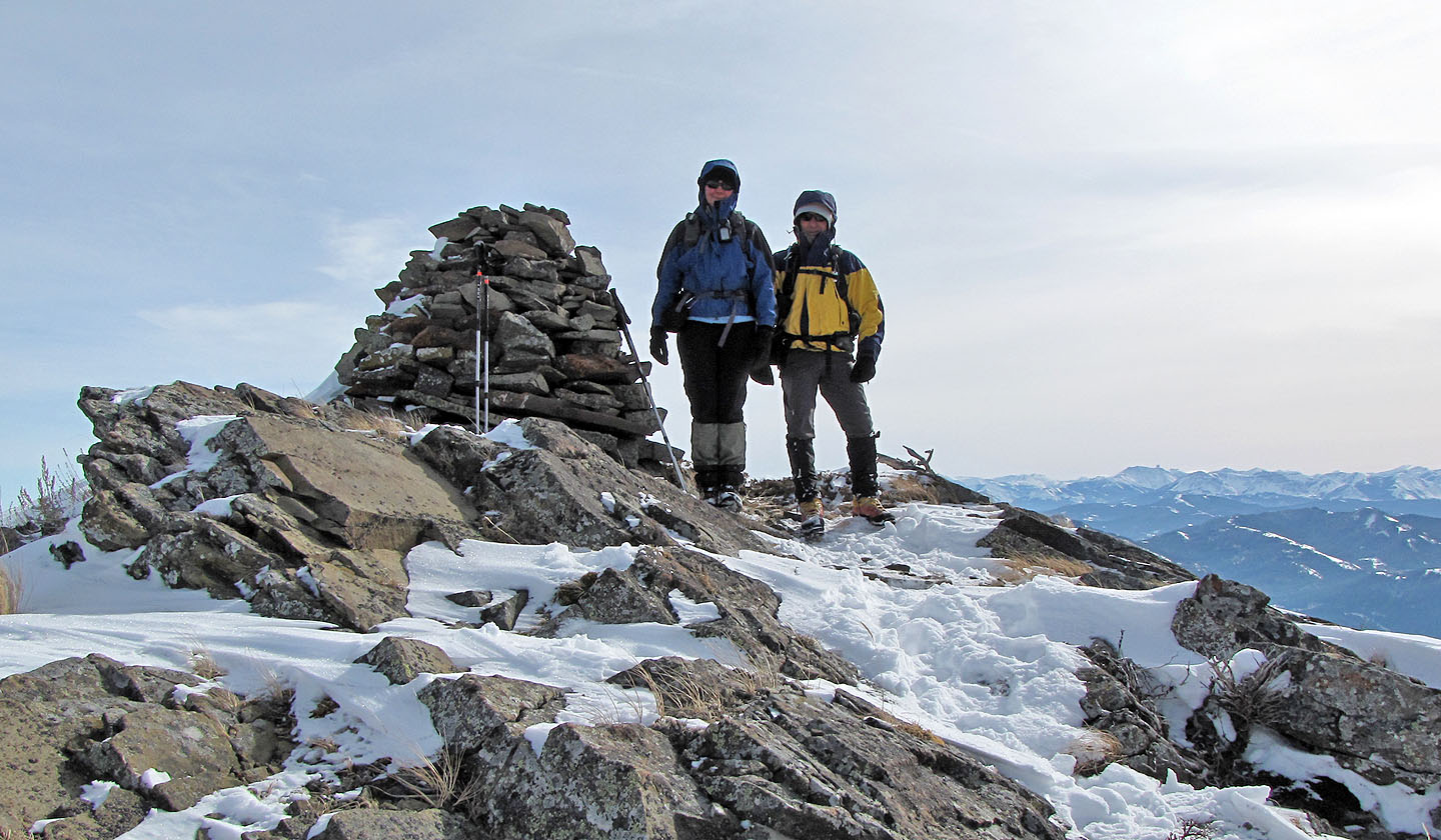
The summit is topped by a huge cairn
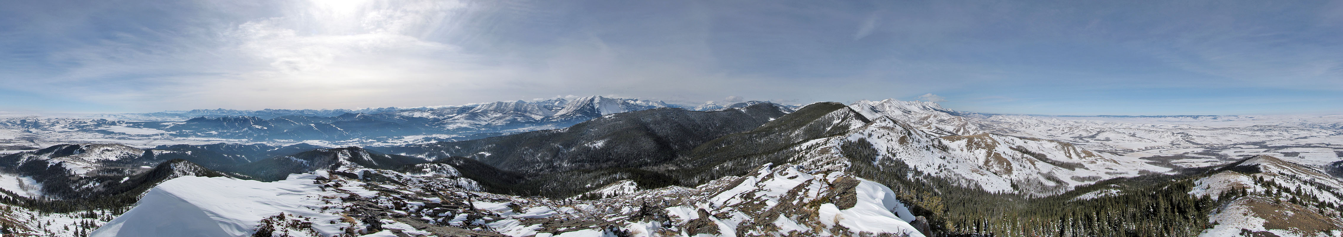
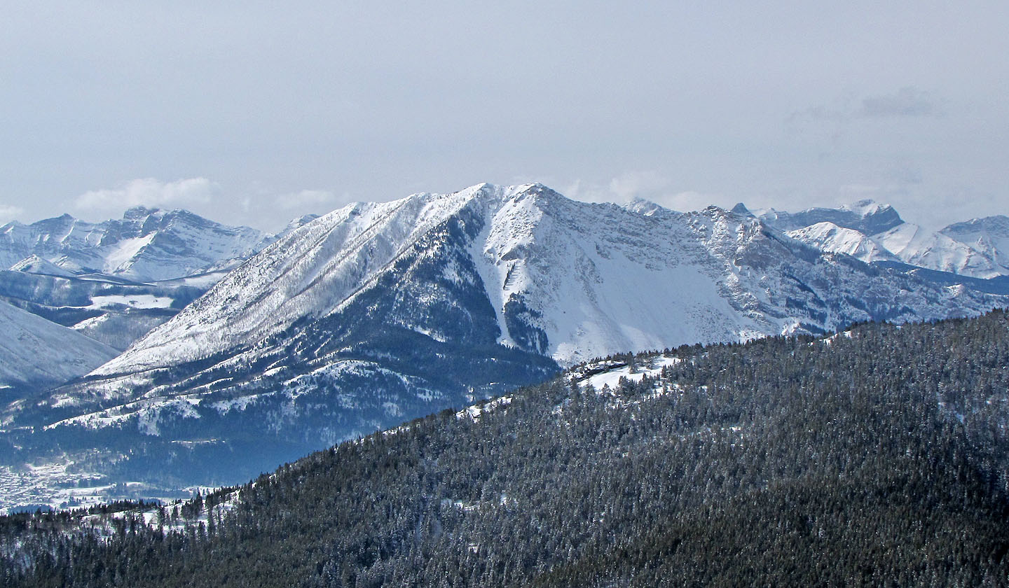
Robertson Peak and the South End of Livingstone Ridge (mouse over for a close up)
82 G/9 Blairmore