bobspirko.ca | Home | Canada Trips | US Trips | Hiking | Snowshoeing | MAP | About
South Star Trails
South Star Recreation Area, Cranbrook, B.C.
October 17, 2025
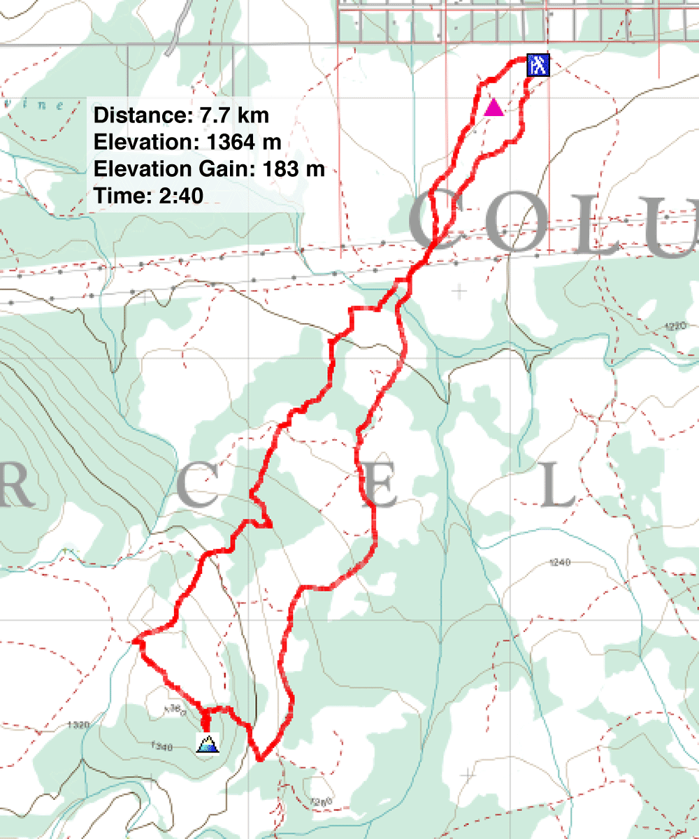
Distance: 7.7 km (4.8 mi)
Cumulative Elevation Gain: 194 m (636 ft)
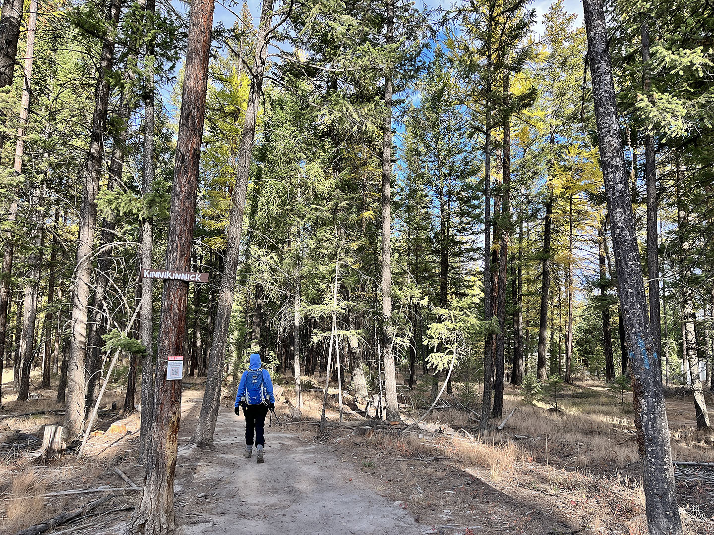
With the forecast threatening afternoon rain, Dinah and I decided on a morning hike ten minutes southeast of Cranbrook. Choosing from the network of trails in South Star Recreation Area, we planned to complete a loop and reach the second highest point in the park. We didn’t expect to find a viewpoint in the forested park, but the colourful larches on an autumn day would keep us engaged.
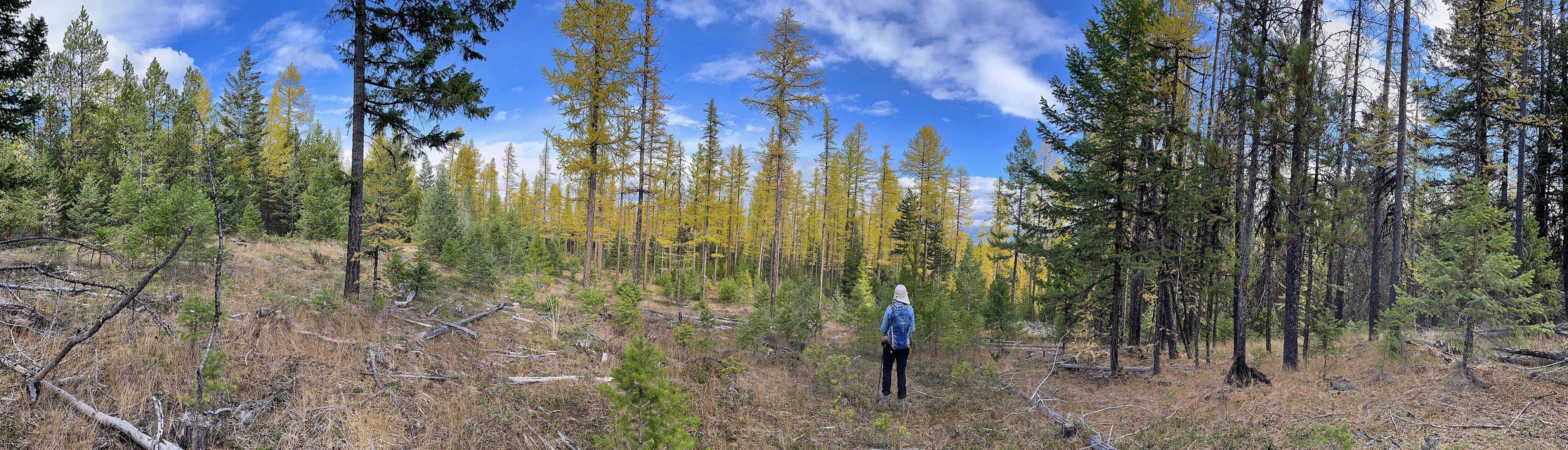
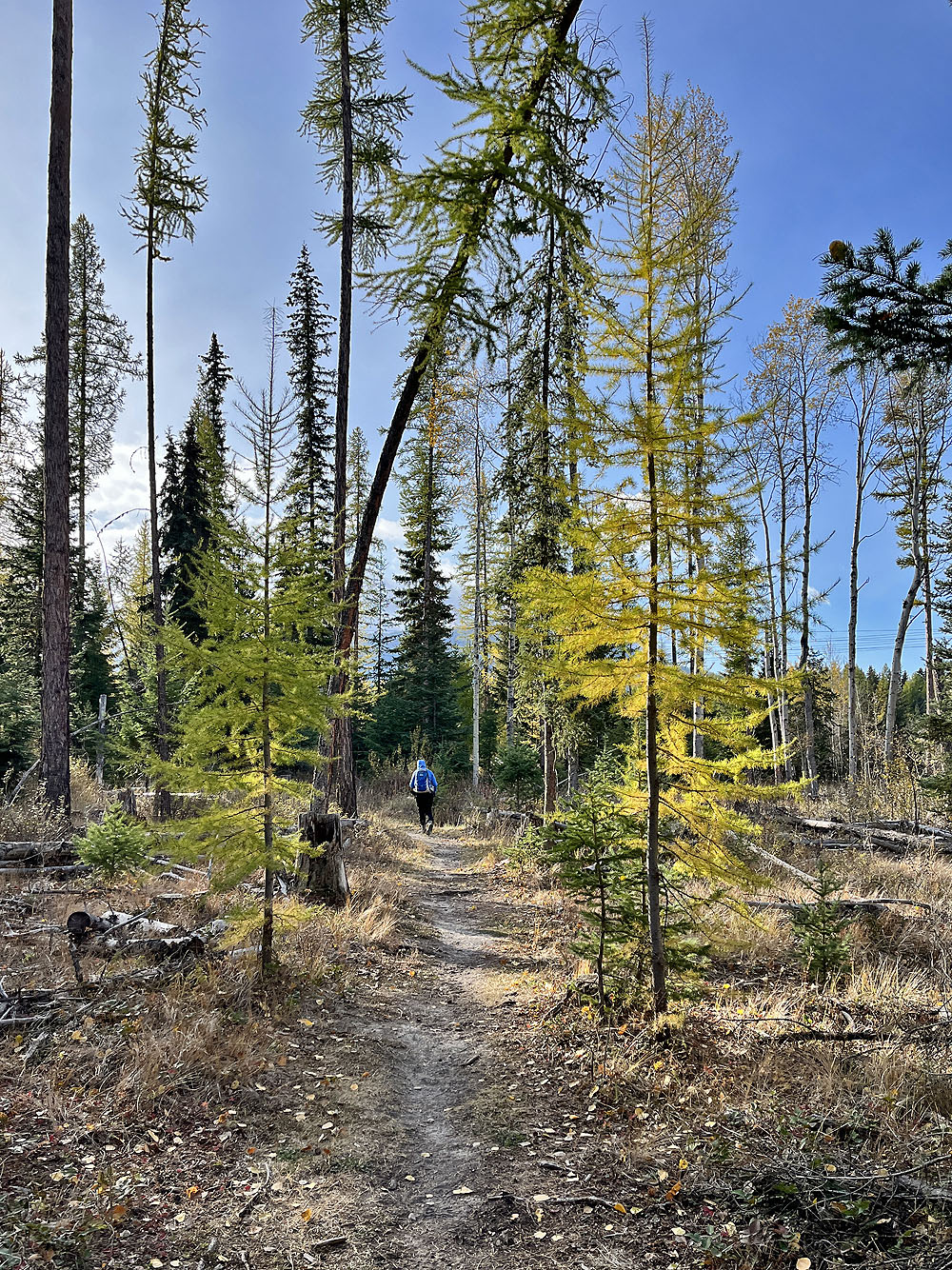
We started on Kinnikinnick Trail. Although it makes a nice loop that passes near our objective, it was too long for us because of the pending rain. We soon left Kinnikinnick and turned onto Arnica. We continued choosing trails that led directly to Kinnikinnick where it crosses high on a ridge. As we hiked, we enjoyed the sight of bright yellow larches lining the paths.
We reached Kinnikinnick and continued up the ridge. We came to small clearings but none with views. We were far from the highest point in the park, but Kinnikinnick passes within 100 m of the second highest point. After a brief bushwhack, we reached the top and returned to Kinnikinnick. We continued down the trail until it intersected Easy Street. We turned left and followed the road-like trail back to the parking lot.
We returned to our car and started stowing our gear, when it began to rain. As we drove off, it turned into sleet. We were glad we weren’t still hiking!
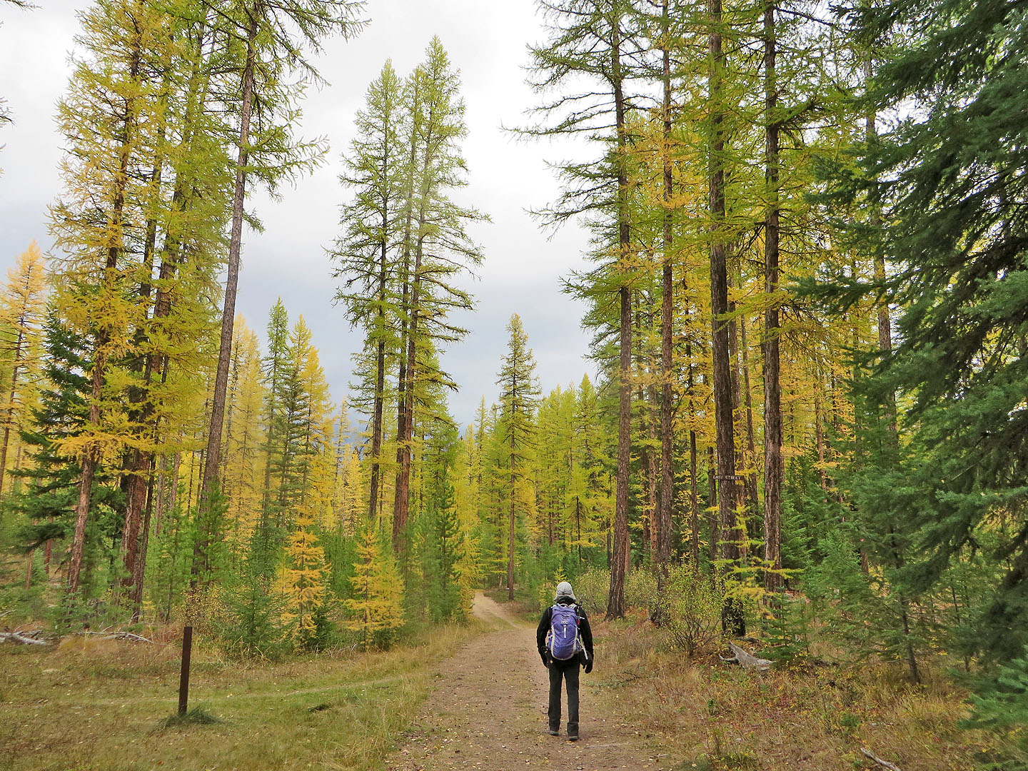
 We started on Kinnikinnick Trail
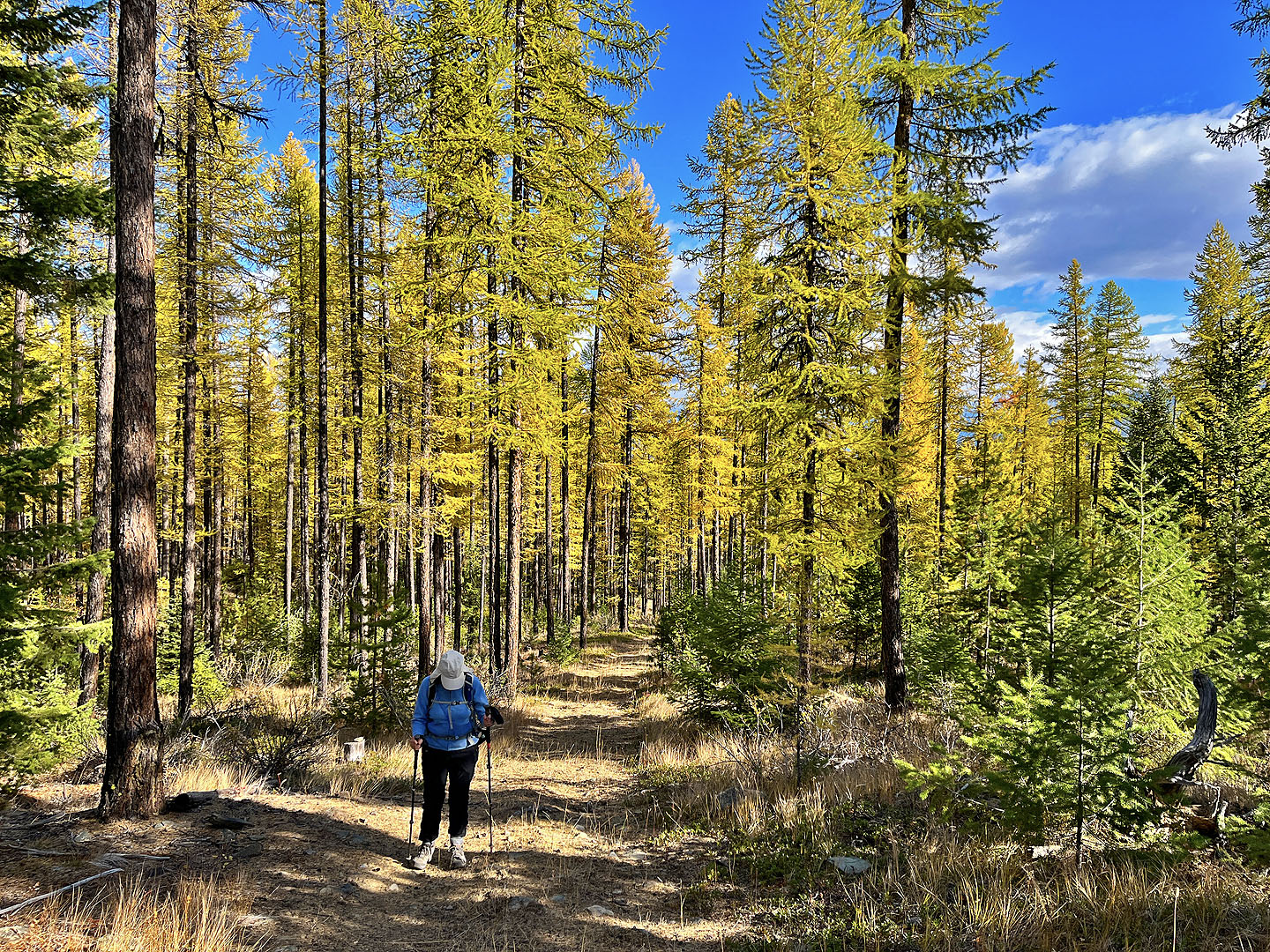
We soon started seeing larches
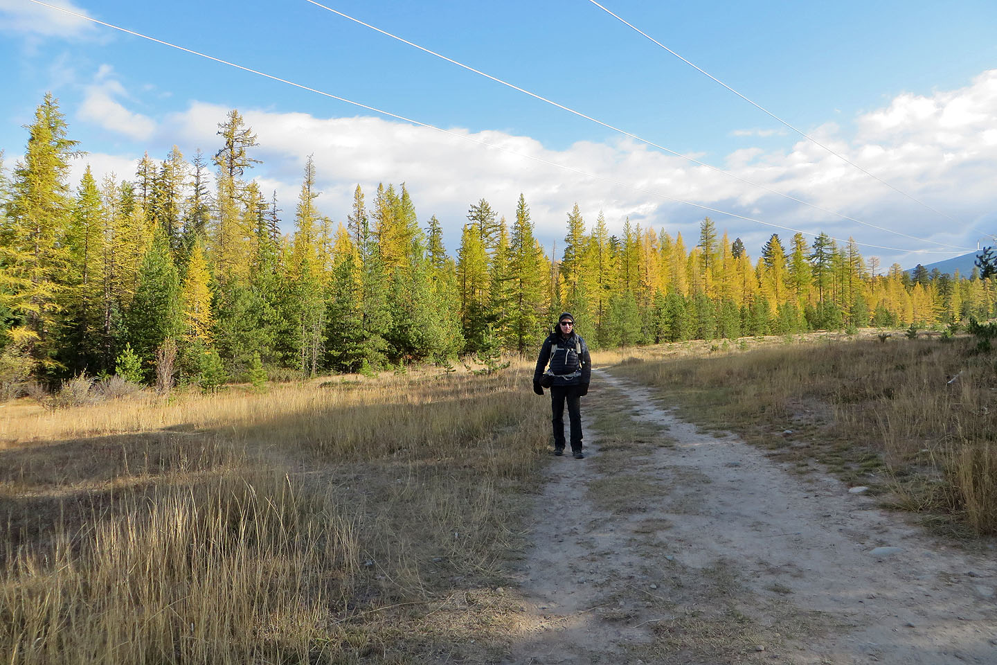 We passed through a powerline right-of-way

Dinah gazes up at a tall larch
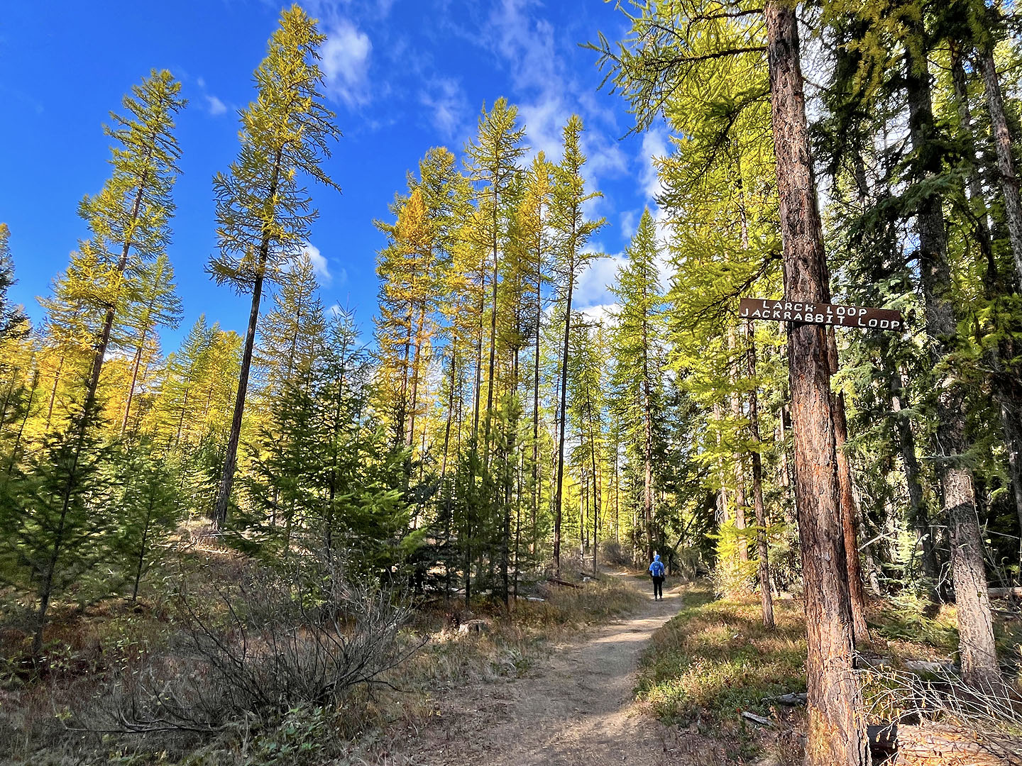 We got on Larch Loop
 We crossed Haggis Hill Trail thinking it went over a hill. But there was no hill; it's just
a connector trail.
We crossed Haggis Hill Trail thinking it went over a hill. But there was no hill; it's just
a connector trail.
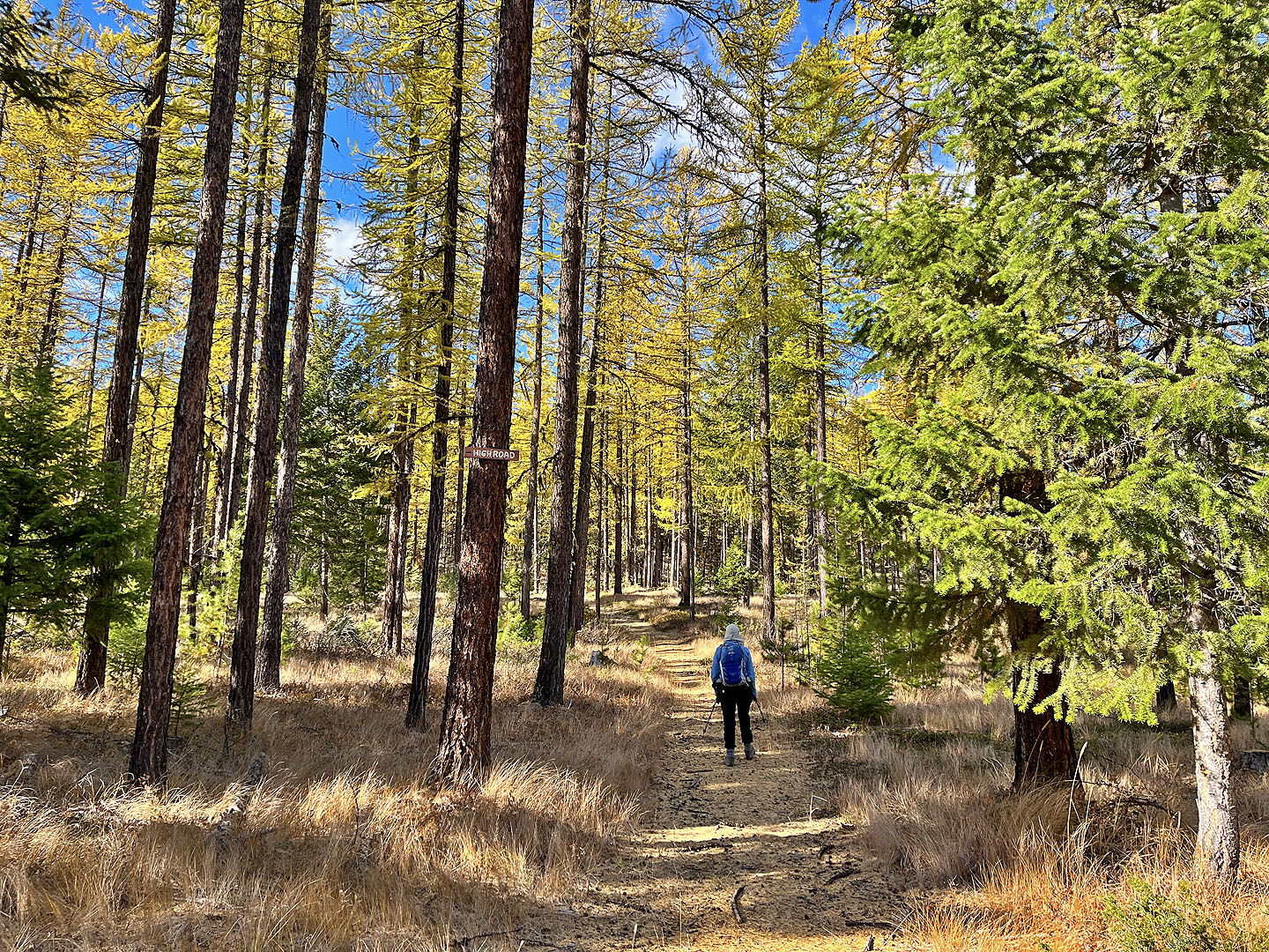 High Road leads to the ridge and Kinnikinnick
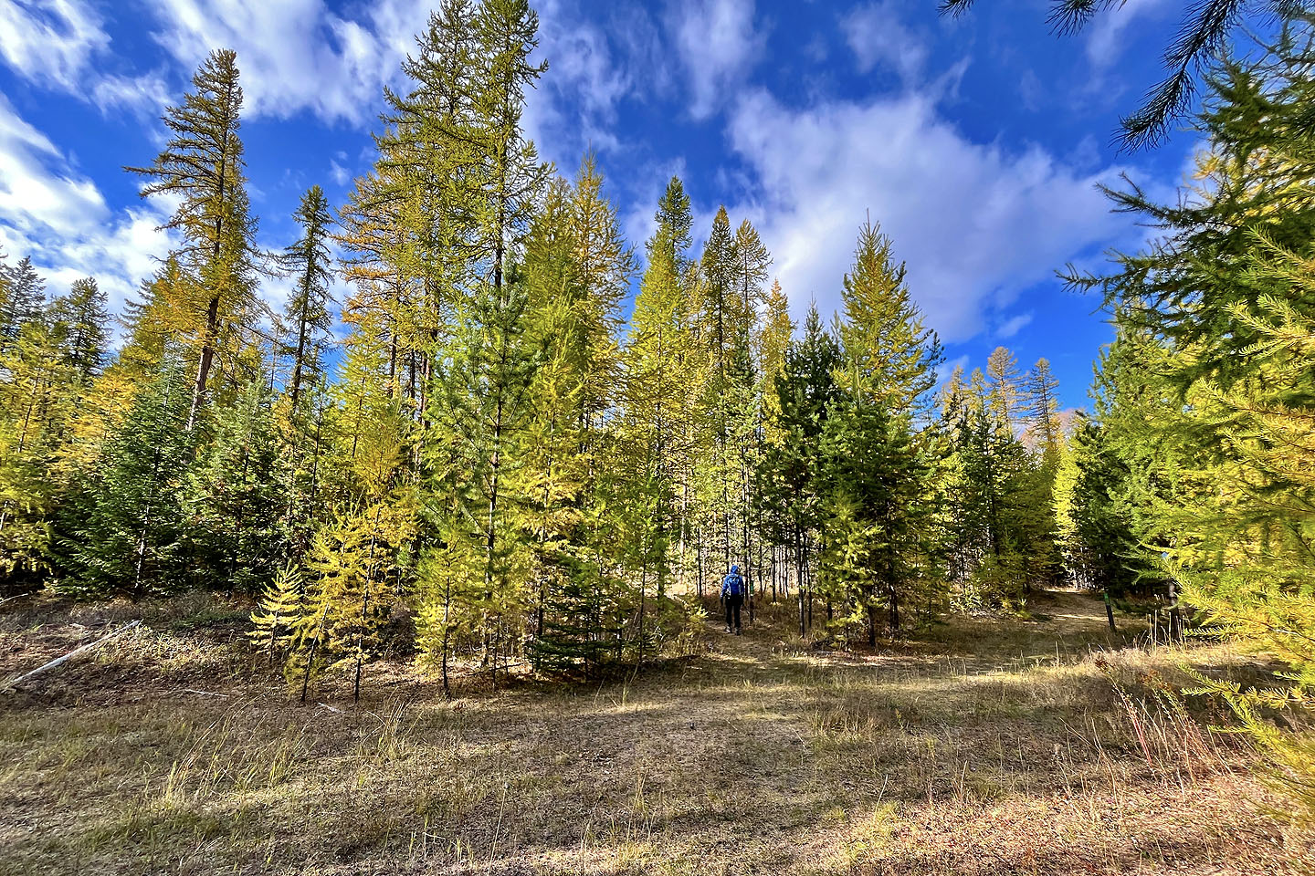
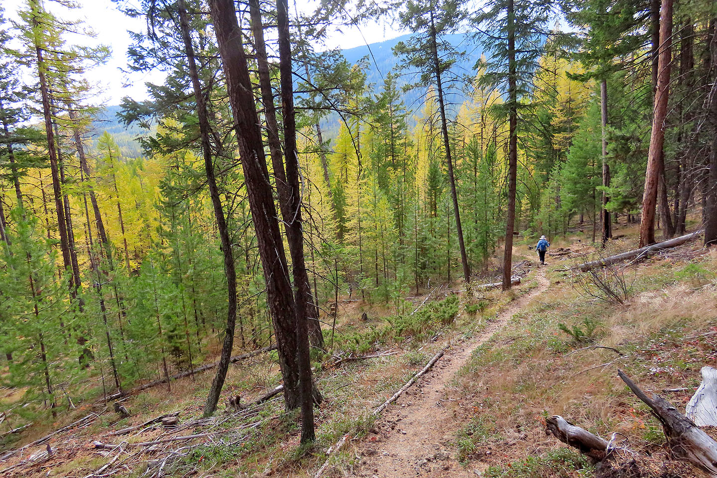
 Looking back at one of the densest larch stands we passed
 On the ridge and back on Kinnikinnick
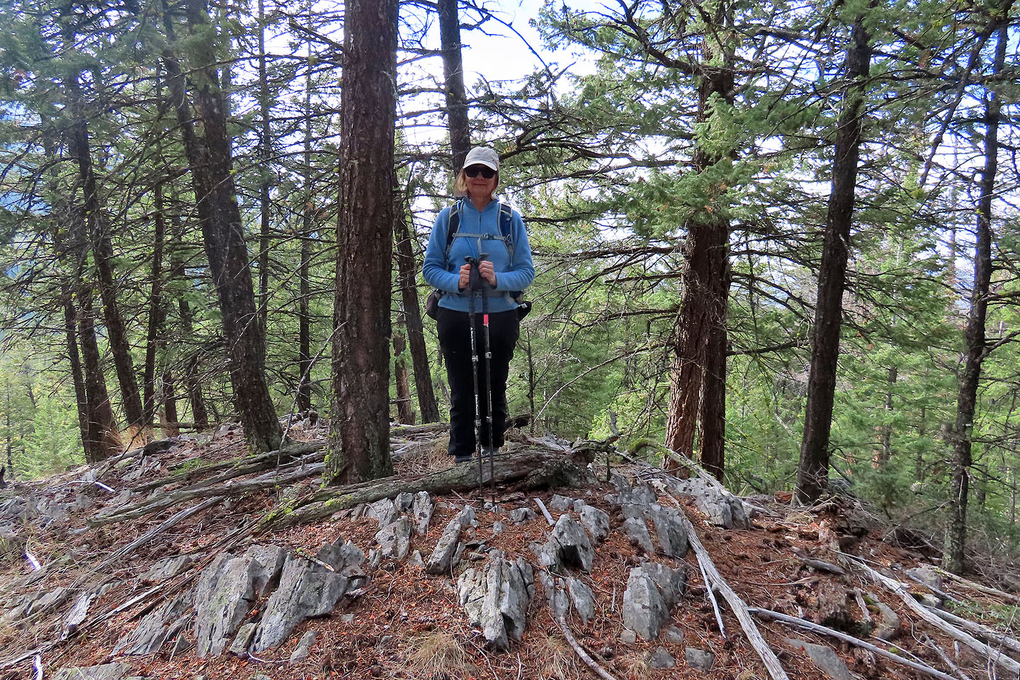 We hiked 100 m from the trail to reach a high point
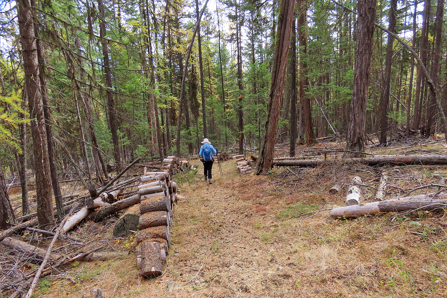 We continued down Kinnikinnick
 We continued down Kinnikinnick to Easy Street
 We followed Easy Street back to the car
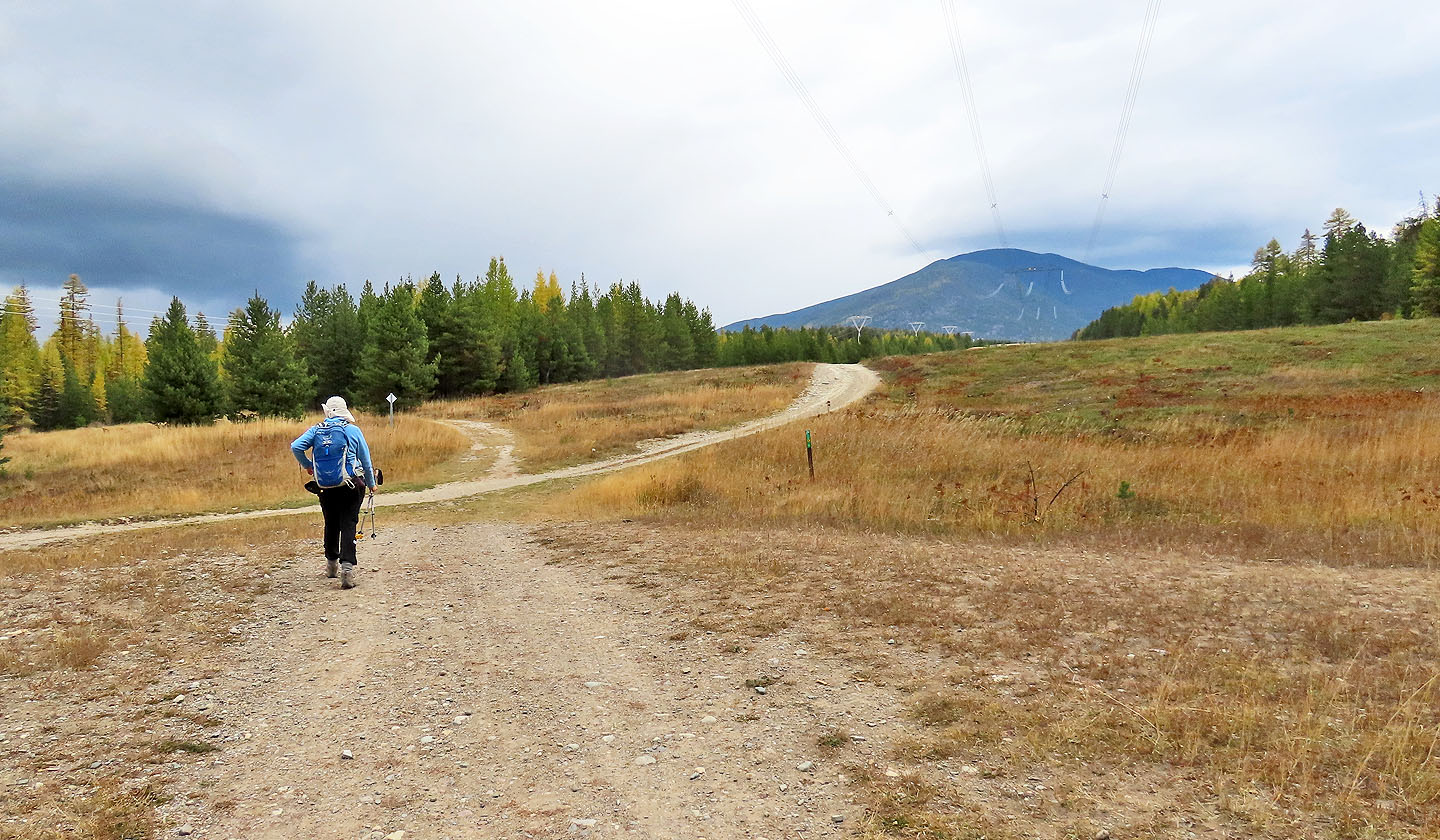 Back at the powerline right-of-way. Mount Baker
appears in the background.
Back at the powerline right-of-way. Mount Baker
appears in the background.