bobspirko.ca | Home | Canada Trips | US Trips | Hiking | Snowshoeing | MAP | About
Raven Peak
Sugarbowl - Grizzly Den Park, B.C.
July 27, 2025
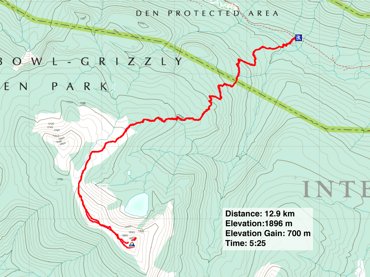
Distance: 12.9 km (8.0 mi)
Cumulative Elevation Gain: 824 m (2703 ft)
Raven Lake is a popular destination for hikers and backpackers, but Dinah and I weren’t keen on seeing the lake unless it was from the top of Raven Peak. Navigation is easy. Follow good trails to the tree line, and then ascend a barren, broad ridge to the summit. We drew our inspiration from Tesla Prince, who dropped down to Raven Lake before reaching the summit.
From Prince George, Dinah and I drove east almost an hour along Yellowhead Highway before turning onto Hungry Creek FSR. We spent the next half-hour driving 16 km up a gravel road to the trailhead while negotiating occasional potholes.
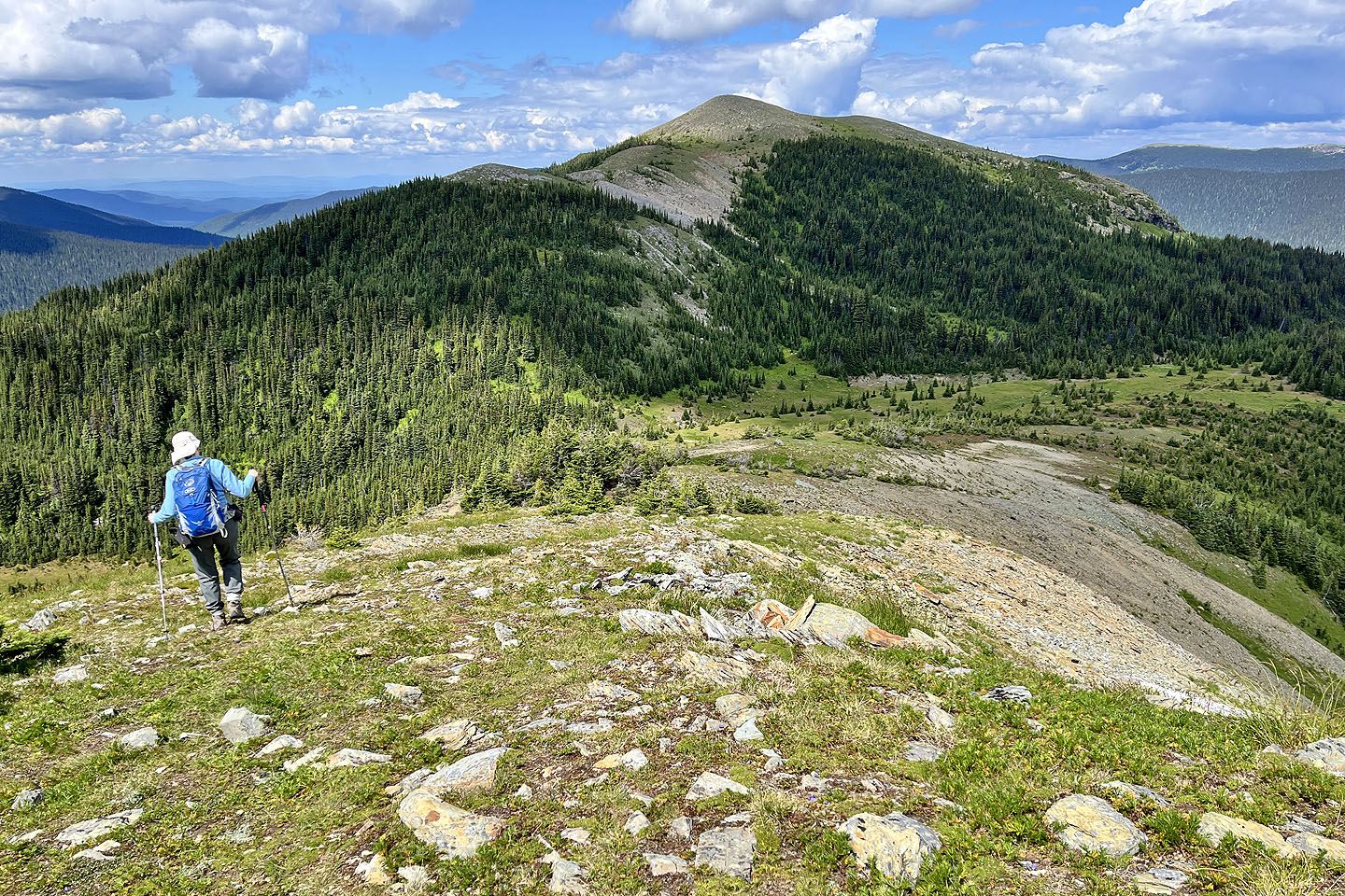
Raven Lake Trail begins in a lush forest with plants crowding the path. But as we climbed, the vegetation thinned, and we began seeing small glades. At 4.2 km, we reached the fork for the lake and ridge. We kept right and followed the trail through subalpine terrain where the trail eventually disappeared. On our left, we gazed down at the deep blue waters of Raven Lake. After passing the tree line, we walked up the wide, gentle ridge to the west summit. We barely paused at a large cairn there before continuing. The summit was only 700 m away, although we first had to descend 40 m to the col.
At the summit, after taking photos, we wandered down the side to view Raven Lake. Far below, we saw the cabin and a couple of hikers. Then we headed back along the ridge and followed the trail back.
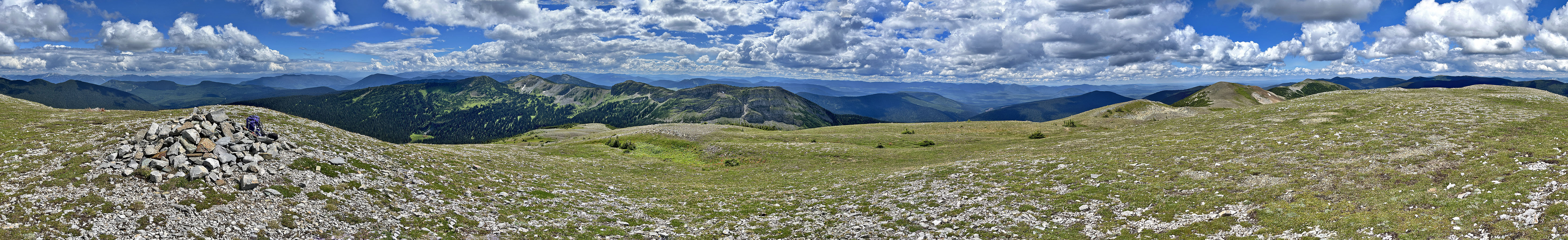
We’ve climbed many peaks in B.C., but most are partially covered in trees. Raven Peak stands out for its expansive 360° summit views and is our most rewarding trip so far in this province.
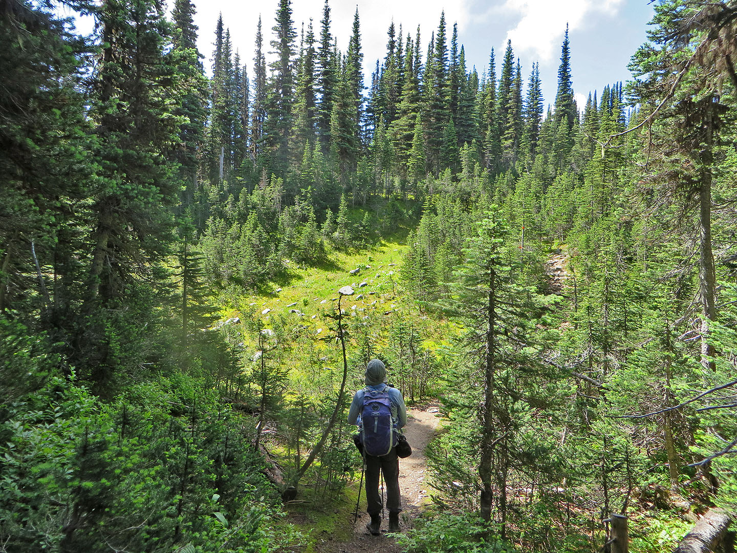
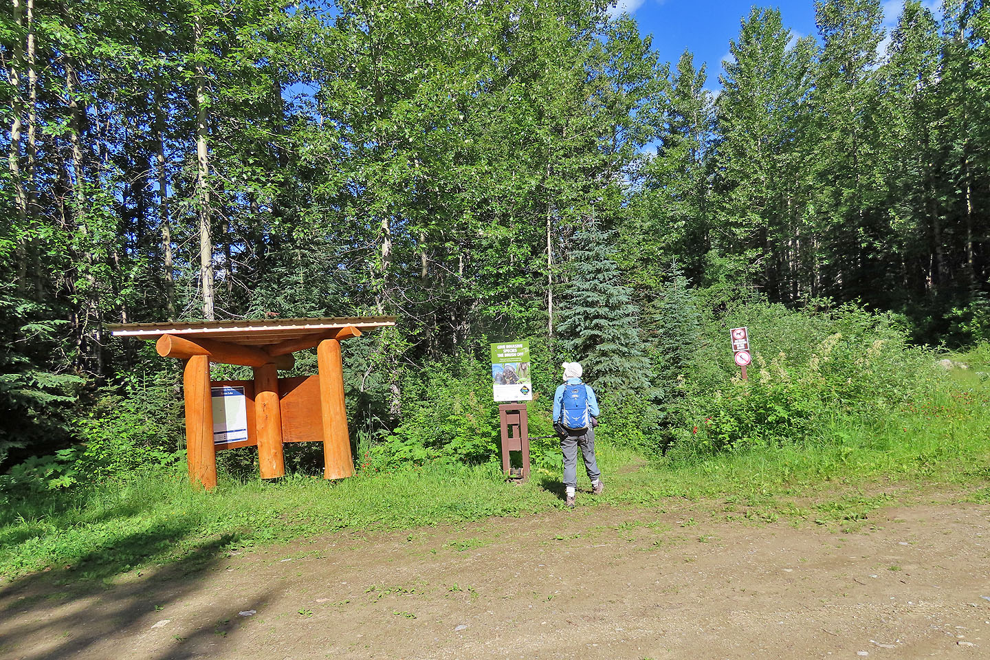 Starting up the trail
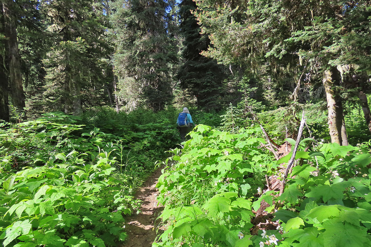 The trail was bushy at first
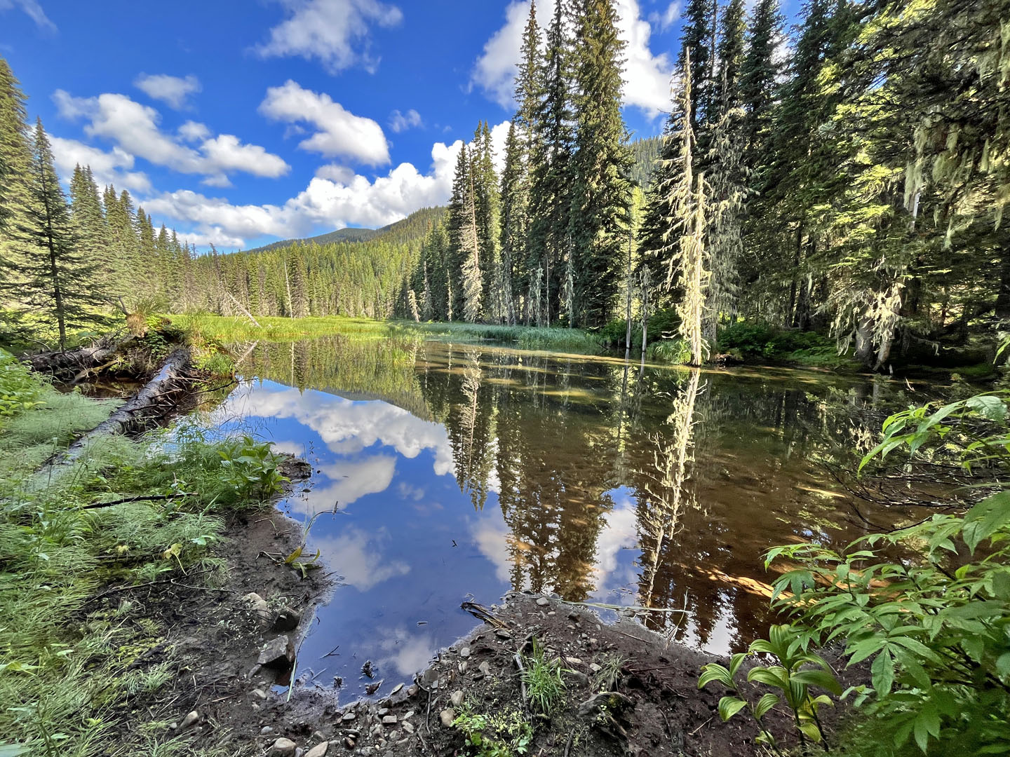 We soon passed a pond
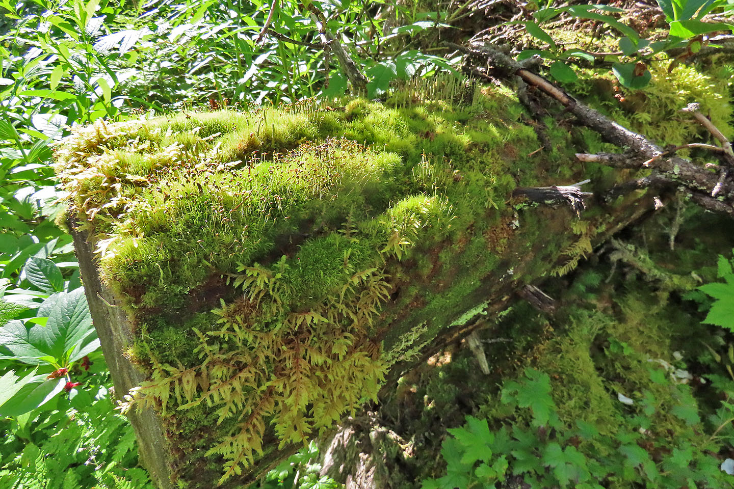 Moss thrived on a log by the trail
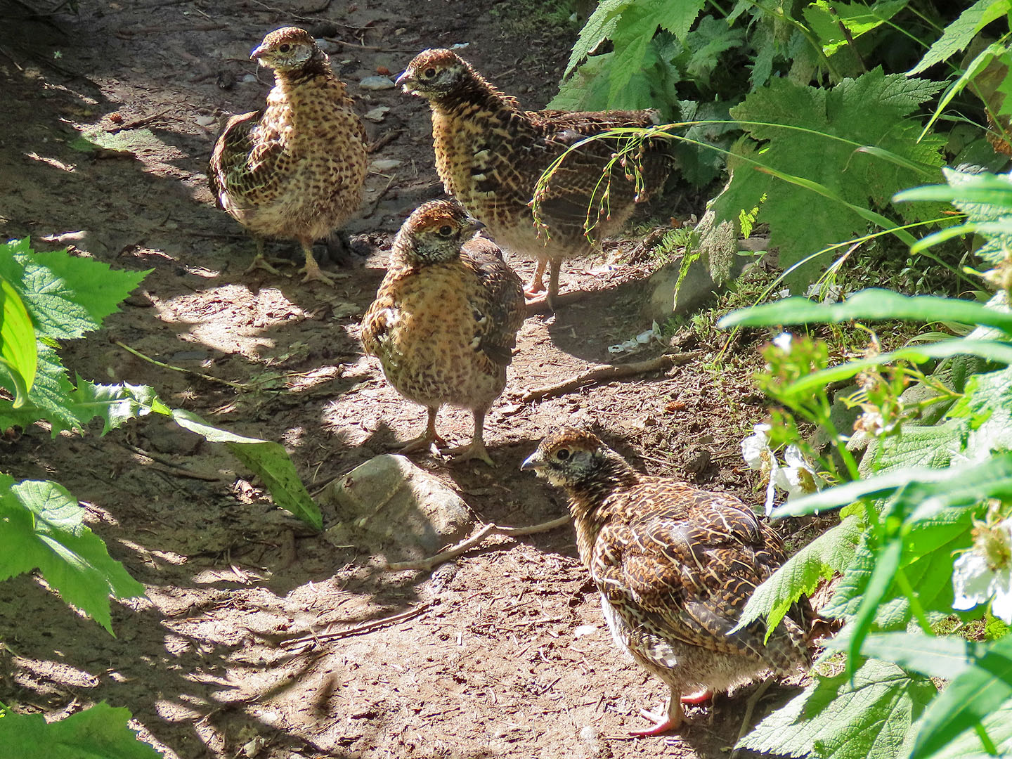 Spruce grouse chicks on the trail
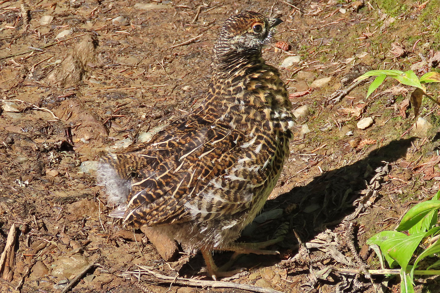 We slowly herded them off the trail, and they disappeared one by one
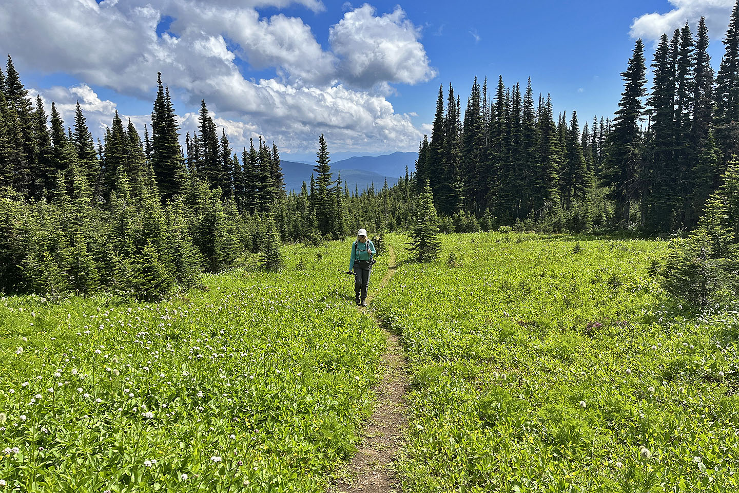
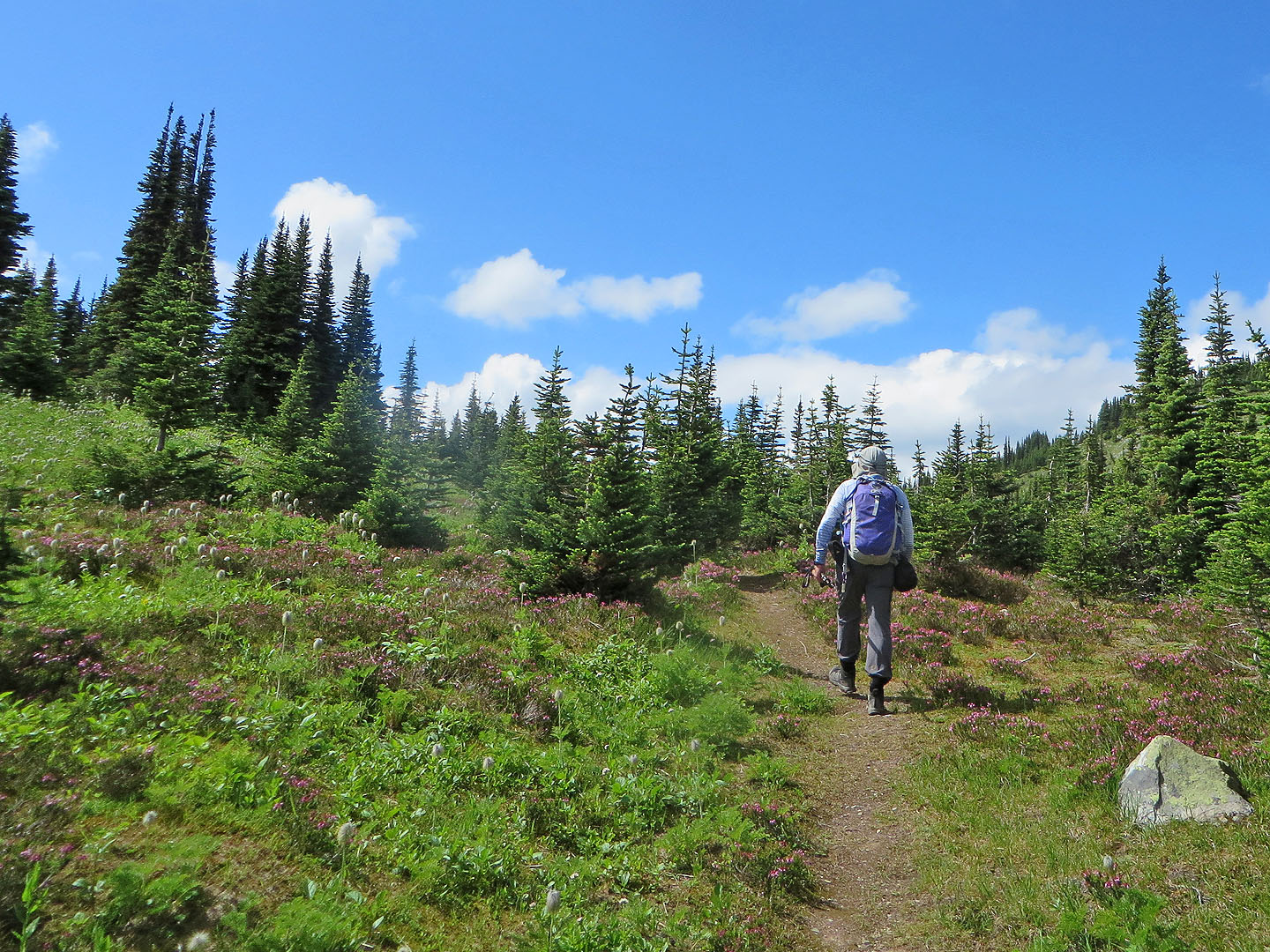
 As we climbed, we began to see small clearings
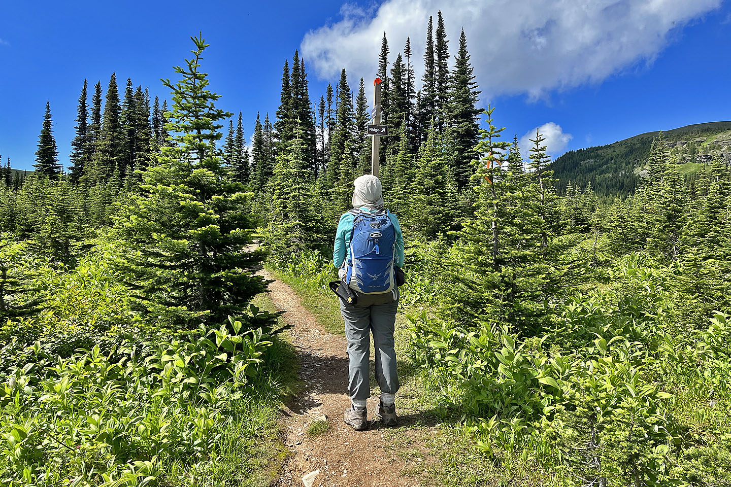 We reached the fork. Left for Raven Lake, right for Raven Peak
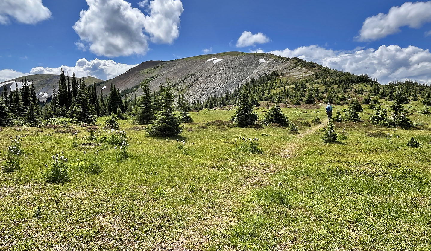
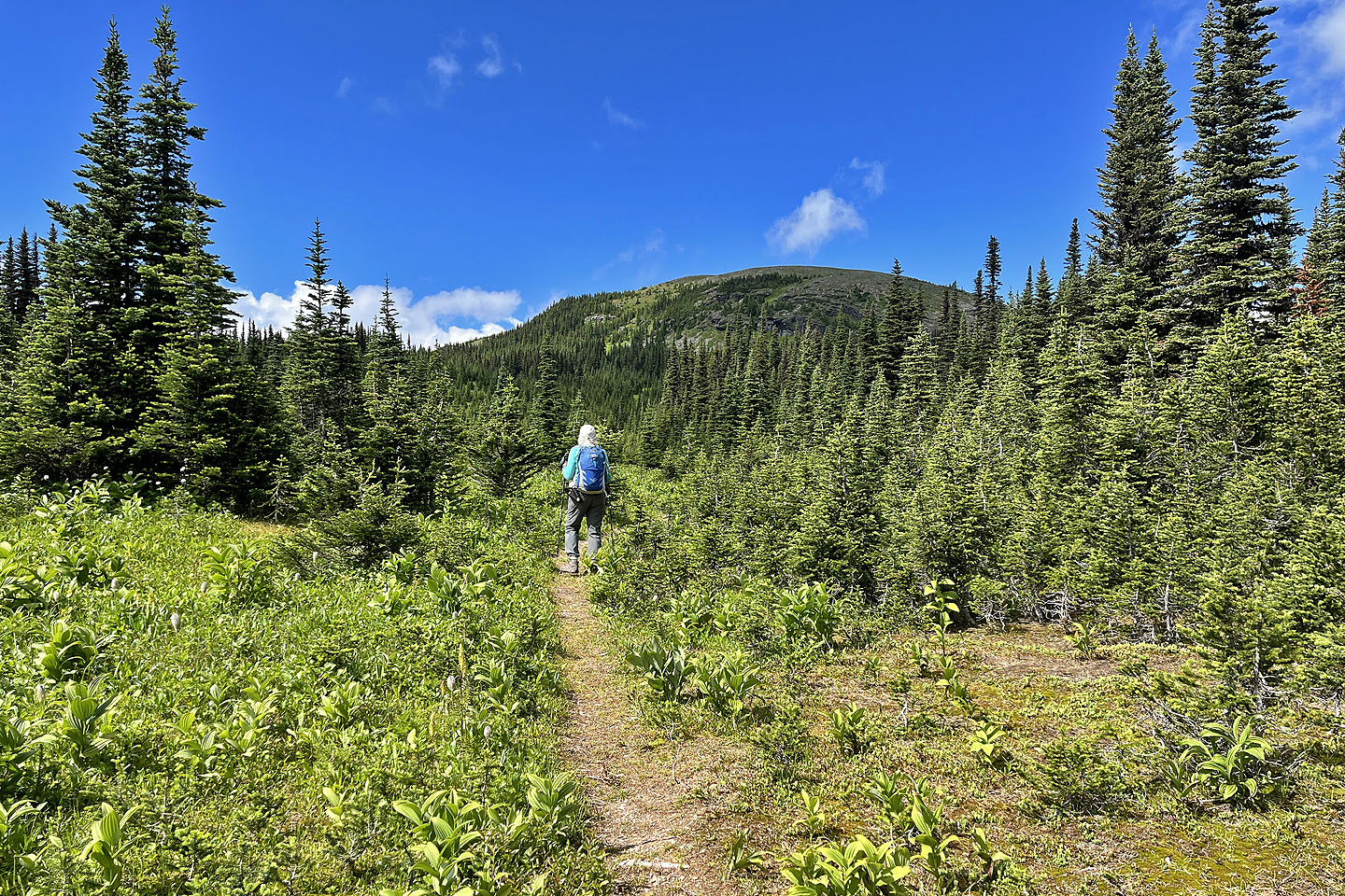 The trail heads to the col on the left. The hill ahead is unnamed.
 Looking back
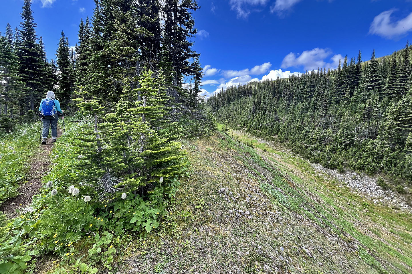 The trail runs alongside a ravine
 Heather lined the trail (mouse over for a close-up)
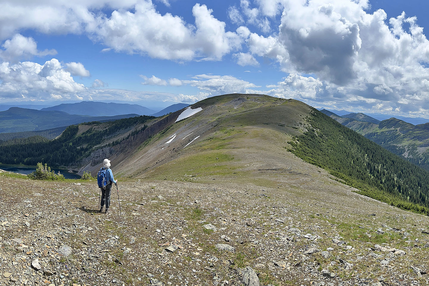
 The summit is far left
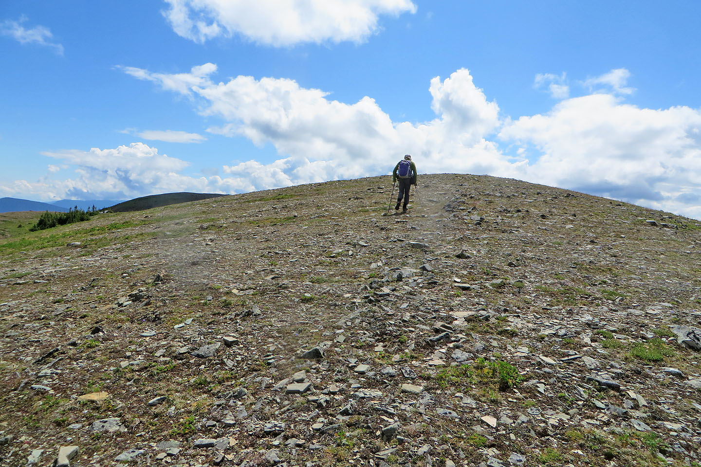
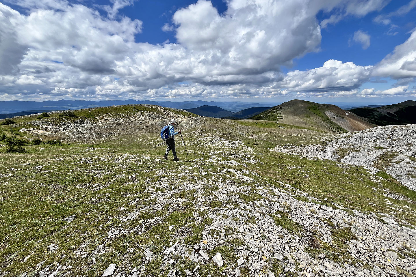
 We started hiking up the ridge
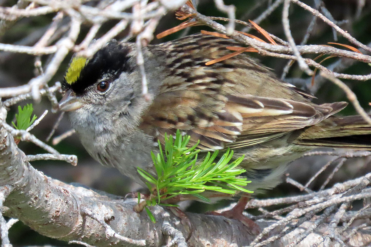 A Golden-Crowned Sparrow hides in a thicket
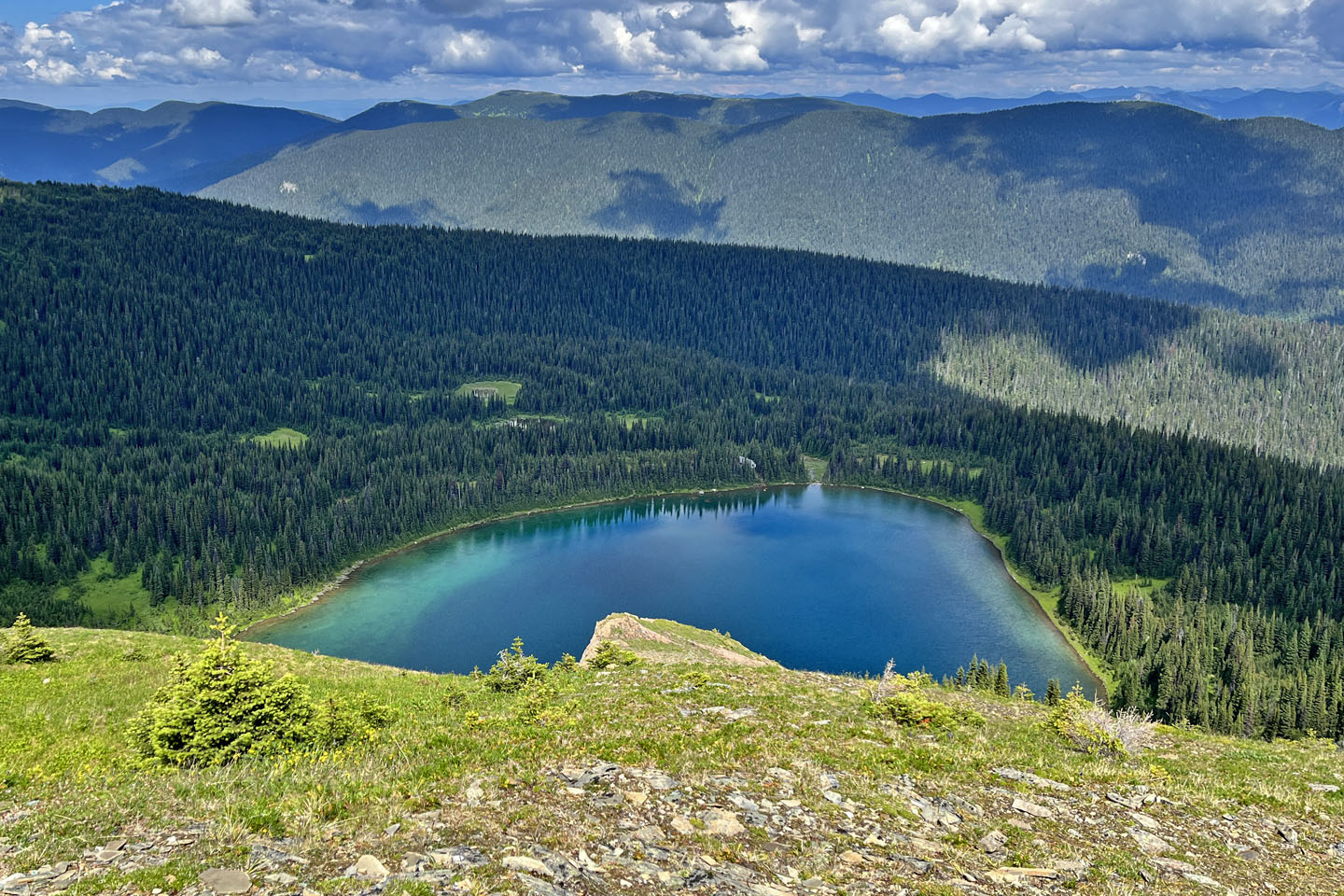
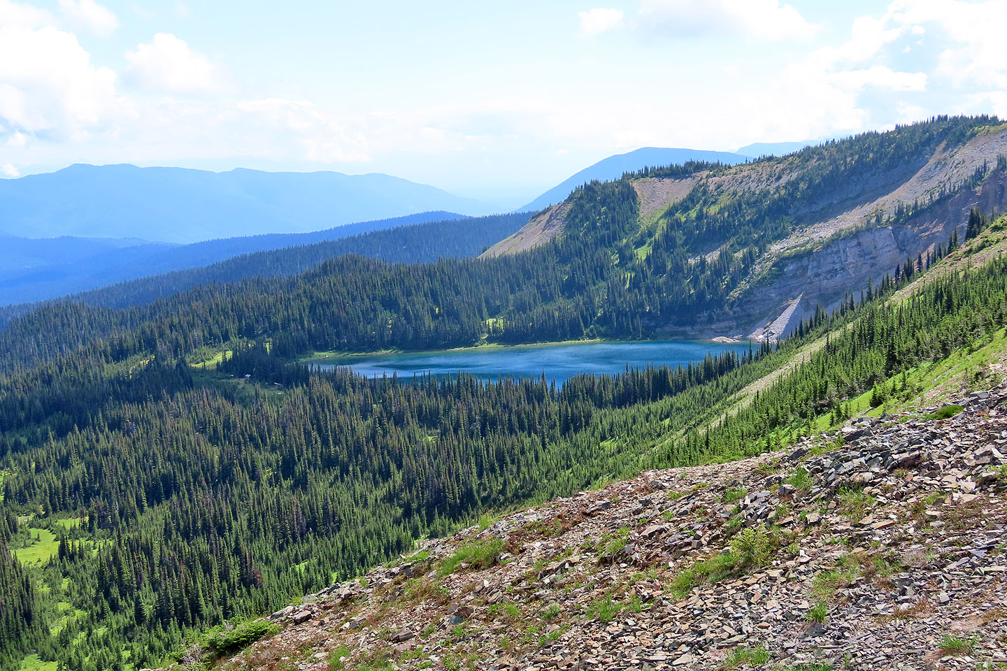 We got our first look at Raven Lake
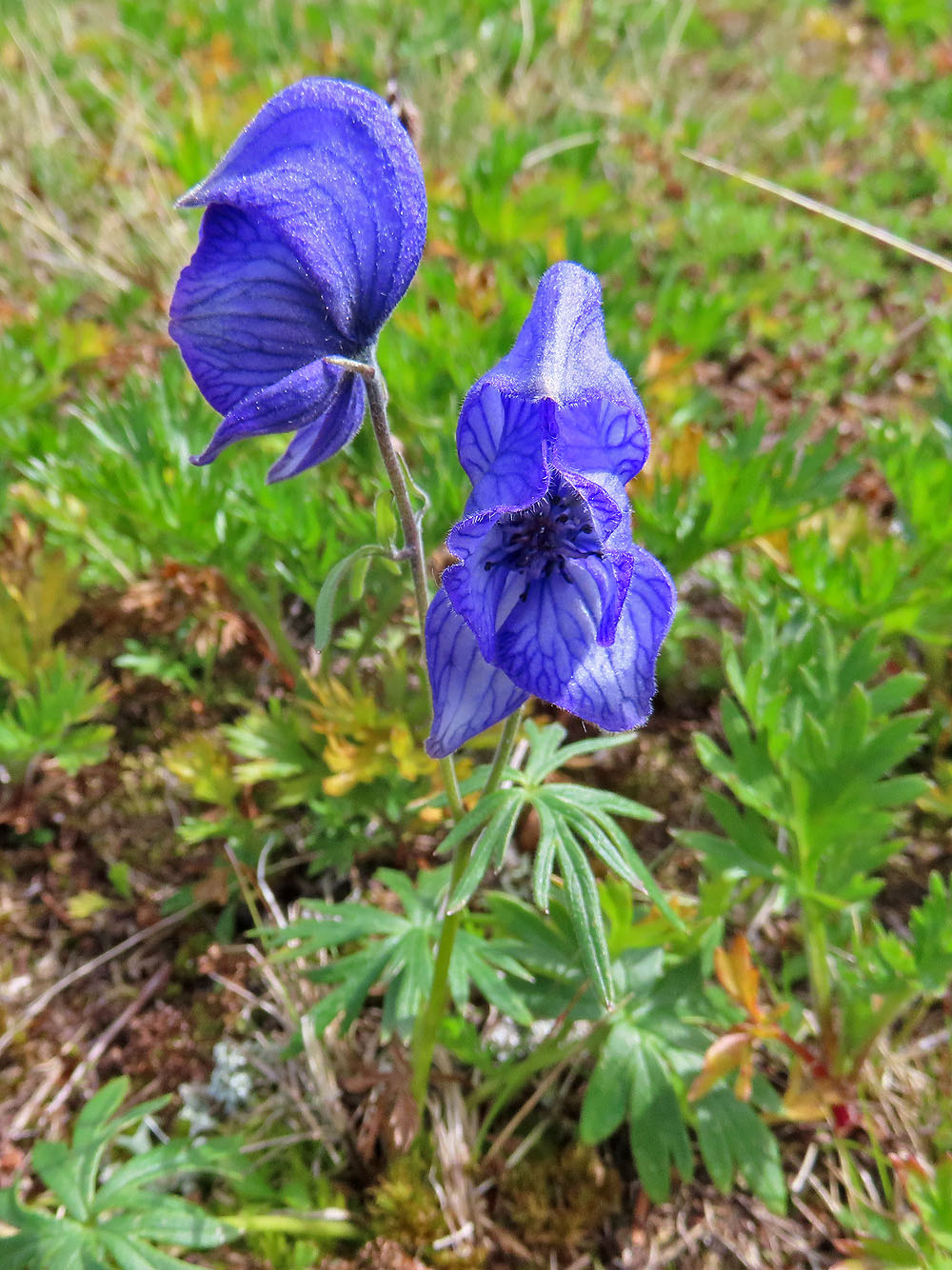
Monkshood, named because it looks like the head of a hooded monk, is highly toxic to people
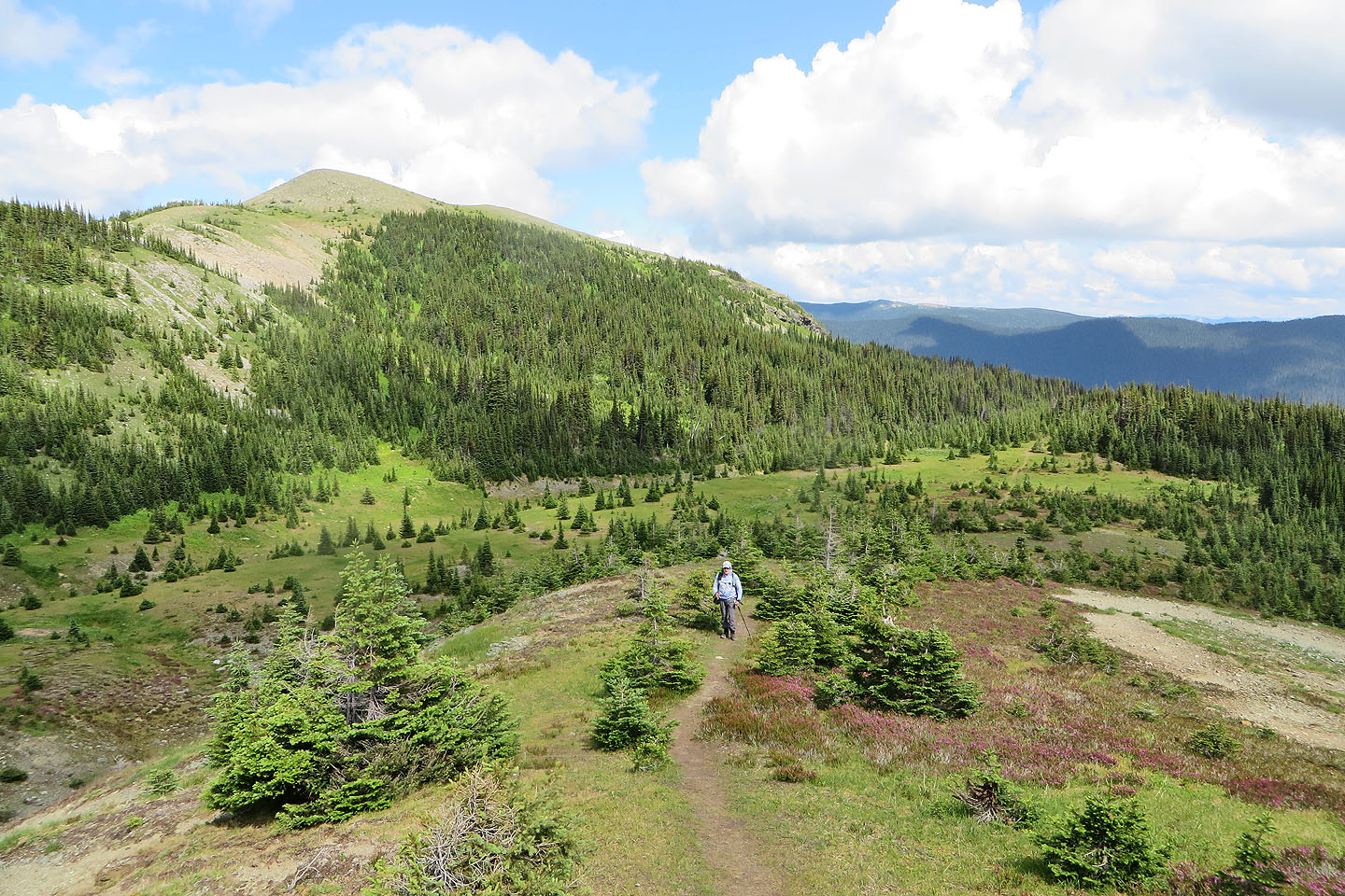
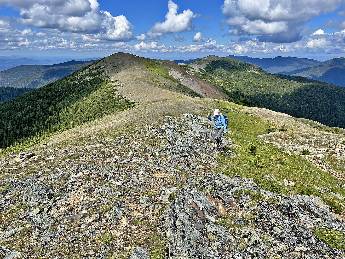
 Heading to the west summit
 On the west summit
 Heading to the summit
 Looking back as we climbed to the summit
 The summit cairn appears in the centre of the skyline
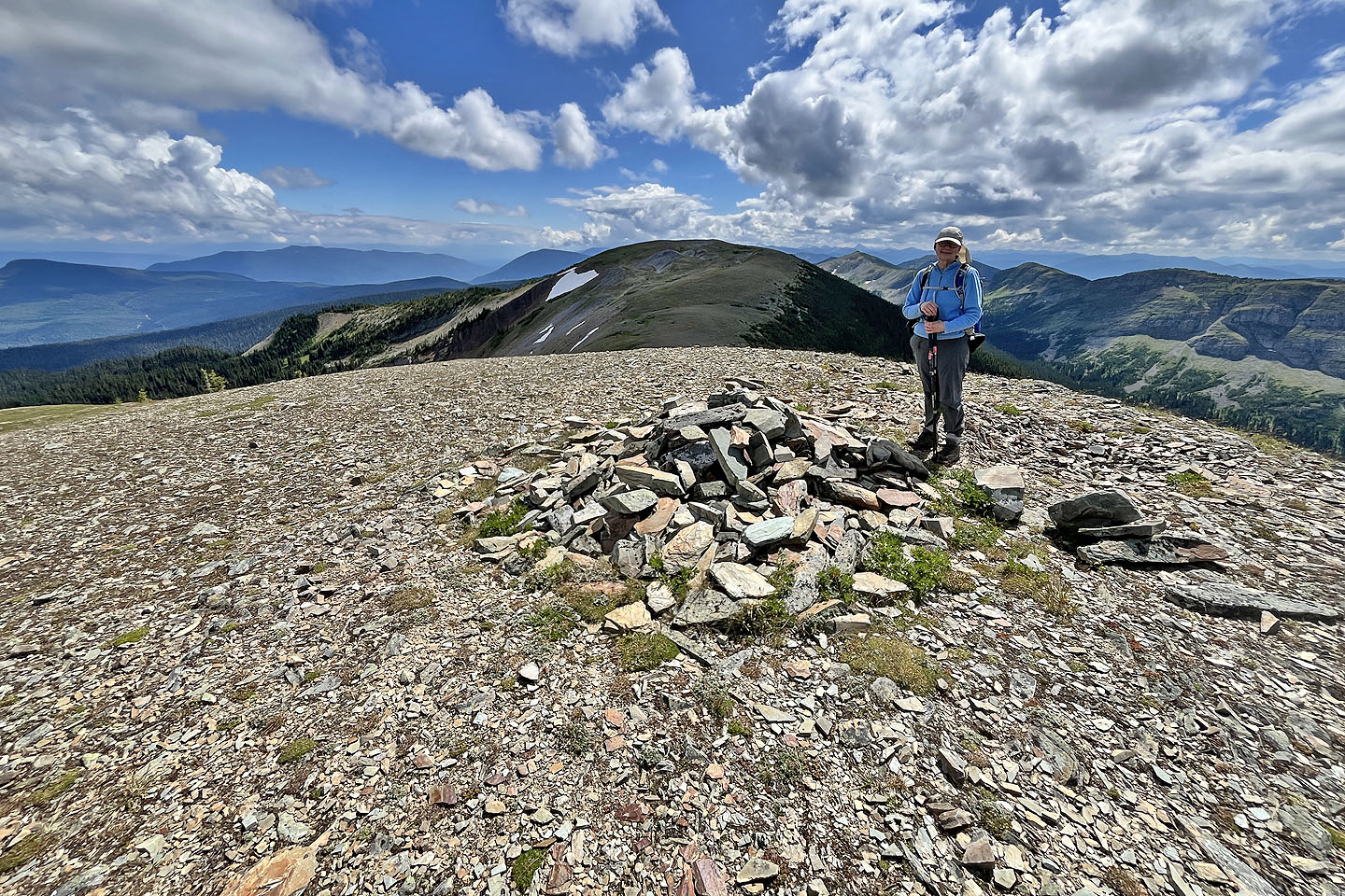
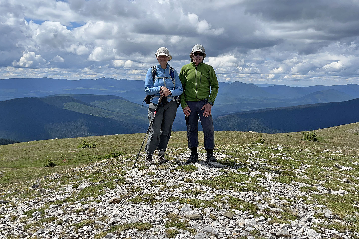 Standing on the summit
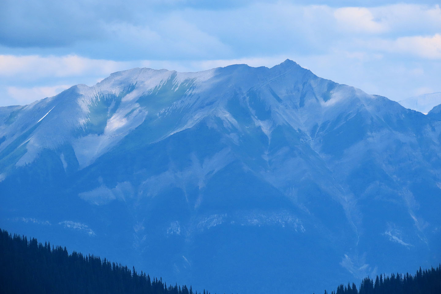 Longview Peak is 2820 m high and lies 30 km to the north
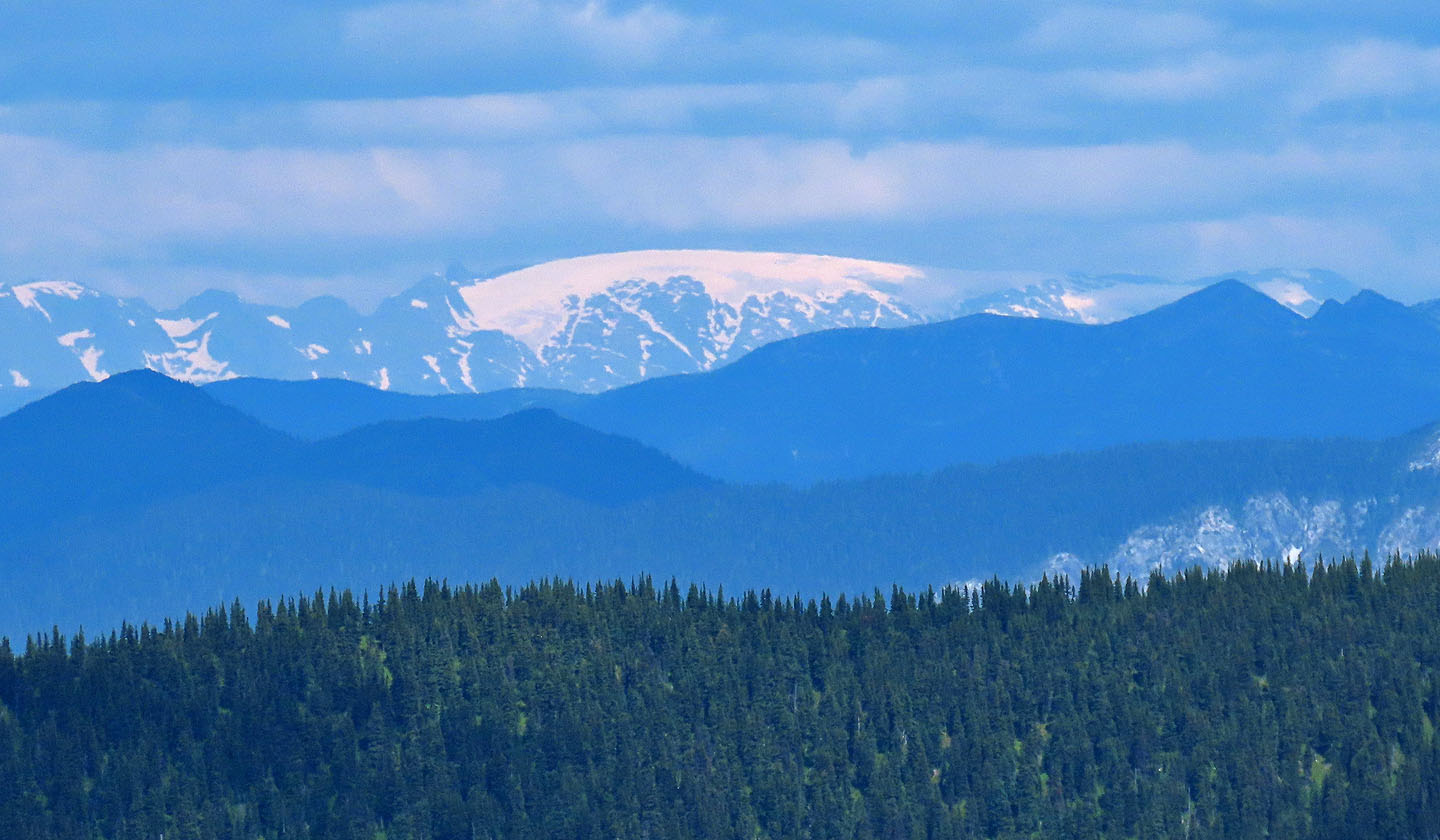 Ice Mountain – what a cool name! 2337 m, 77 km north
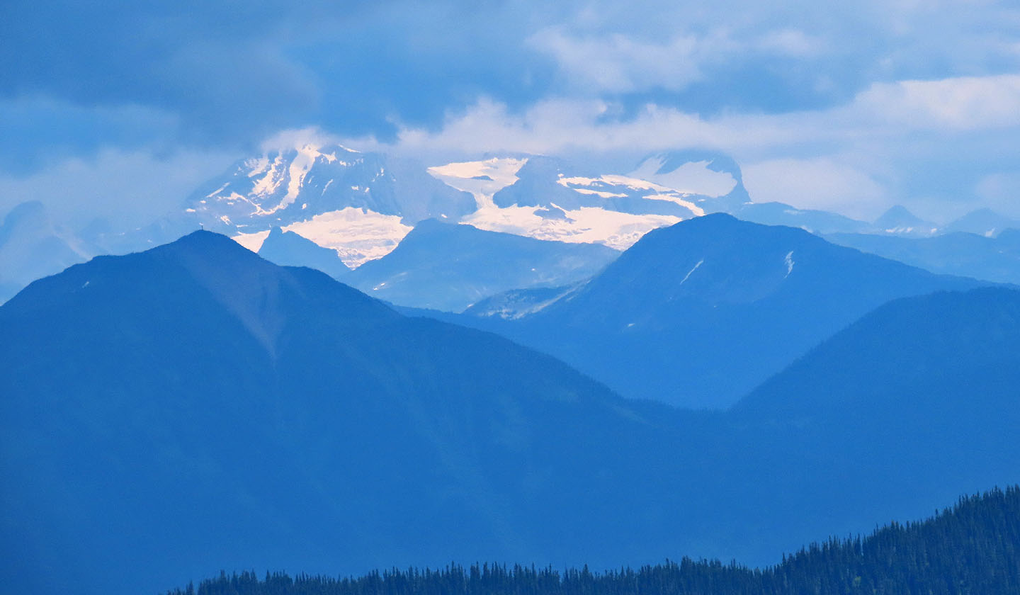 Mount Petrie: 2280 m, 80 km northeast
 At the far end of Raven Lake is a cabin (mouse over for a close-up)
 Heading back
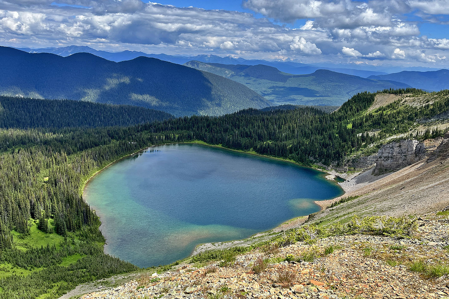 Dropping low on the col, I was able to photograph the entire lake
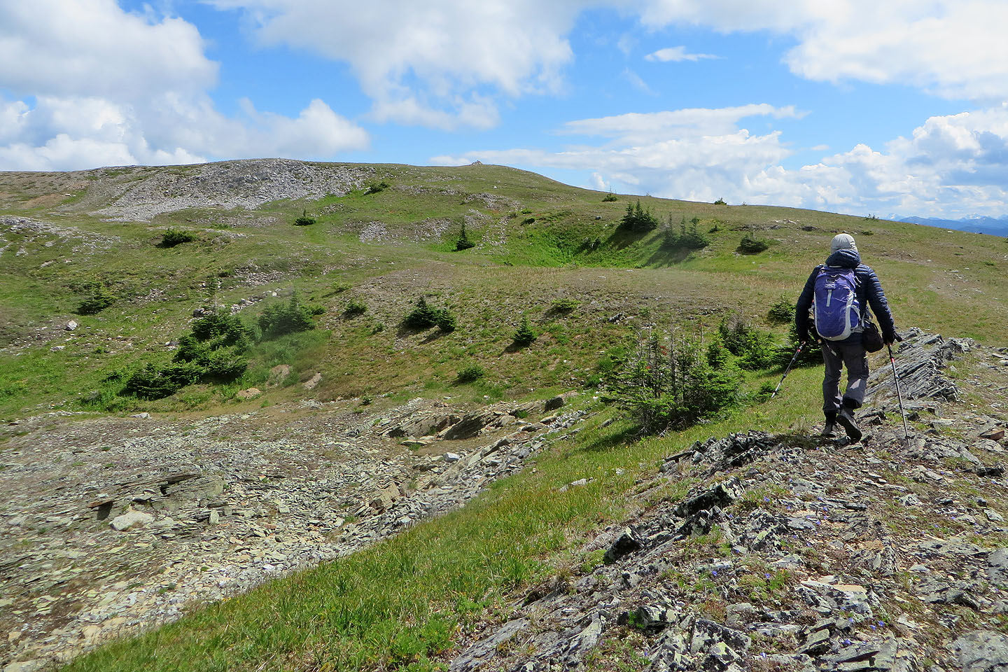
 Heading back down the ridge. The trail is visible in the meadow on the right.