bobspirko.ca | Home | Canada Trips | US Trips | Hiking | Snowshoeing | MAP | About
Pilot Mountain
Prince George, B.C.
July 26, 2025
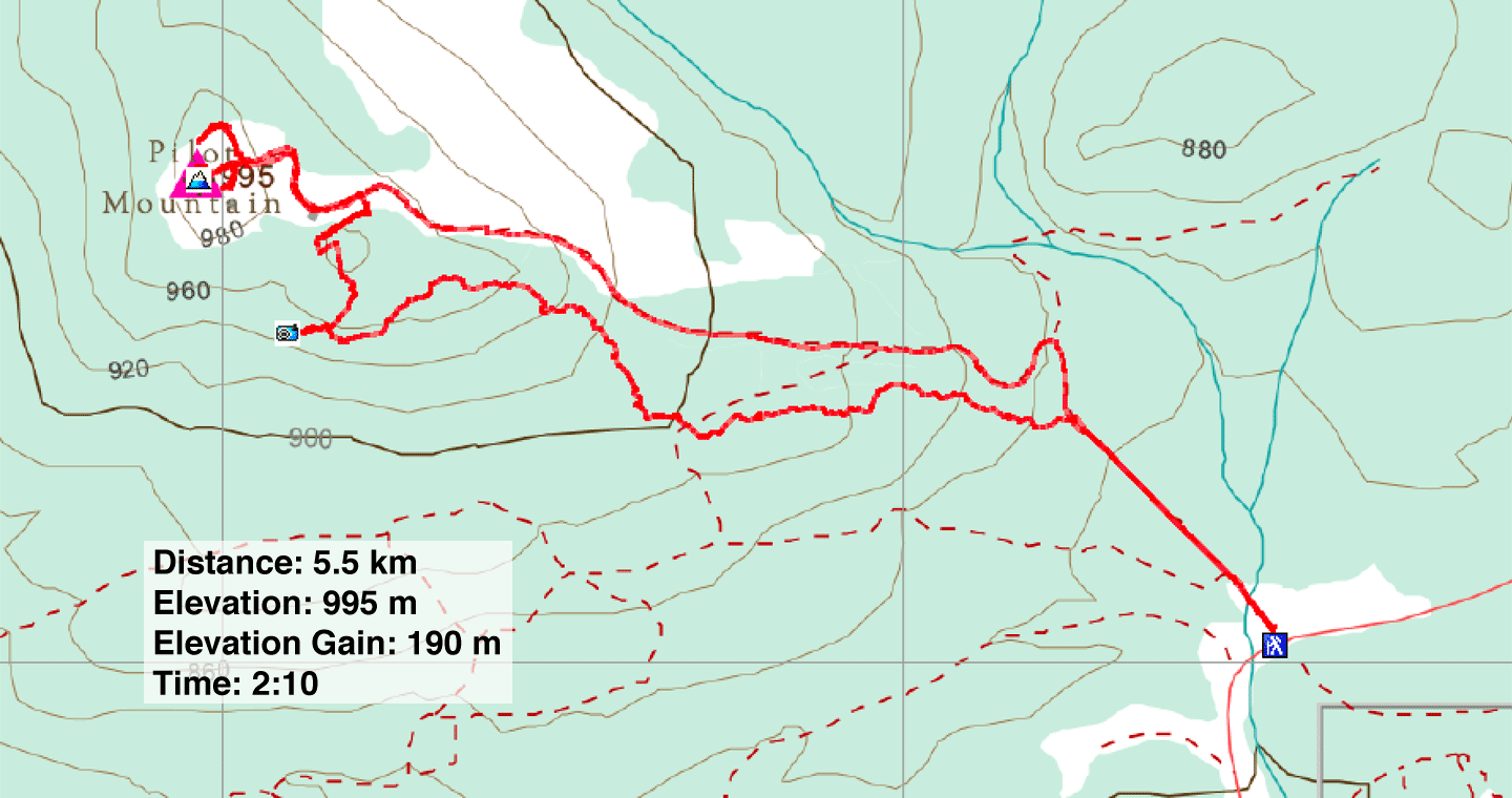
Distance: 5.5 km (3.4 mi)
Cumulative Elevation Gain: 278 m (912 ft)
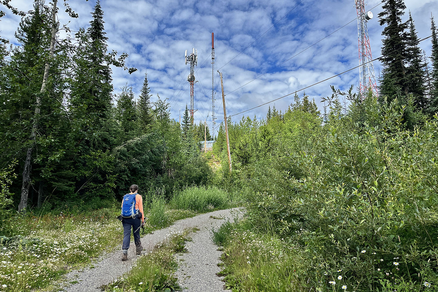
Dinah and I usually avoid summits with cell towers, but we wanted a short hike, and Pilot Mountain is just 20 minutes north of Prince George. It can be done as a loop, going up a trail and coming down a road. The trail, incidentally, swings by a cave that’s worth visiting.
Tesla Prince provides a track and photos, although oddly he didn’t make it to the top. Satellite imagery showed dense forest with few open areas, so I was concerned there wouldn't be any views. However, Caledonia Ramblers touted “excellent views towards Chief Lake, Wright Creek, and Prince George” but displayed no photos.
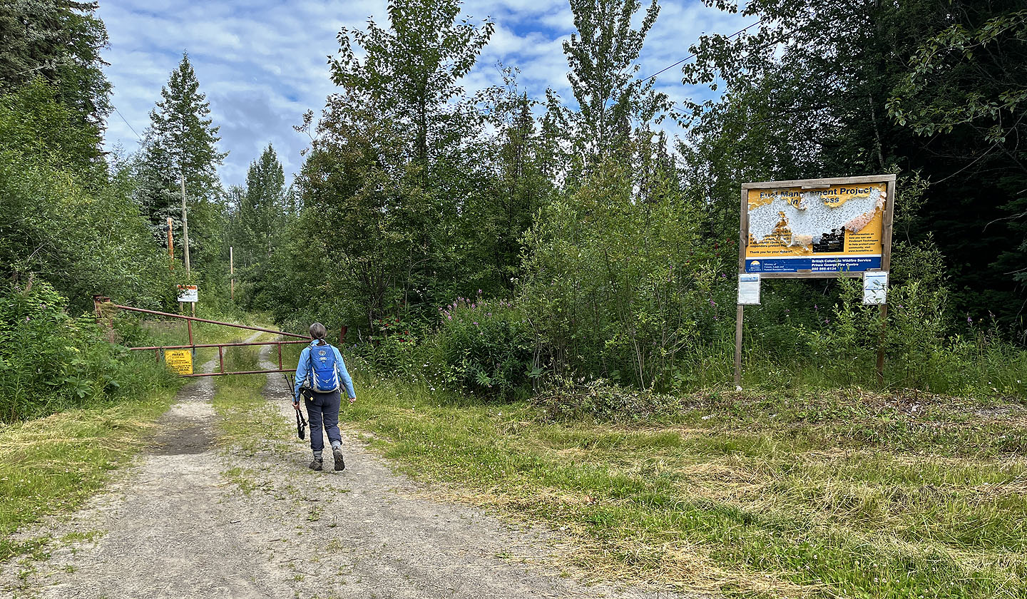
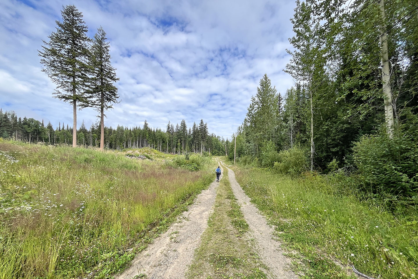
We parked at a locked gate, walked 440 m up the road and found the trail at the end of a clearing. The path gently climbs through sparse forest before descending near the cave. A brief spur trail leads to a charming little cave. The entrance is low, but inside, I could stand up.
We returned to the main trail. Instead of climbing, however, it traversed, so we bushwhacked a short distance up to a meadow. We made our way to a road. We followed the road, except to avoid a long switchback by cutting through.
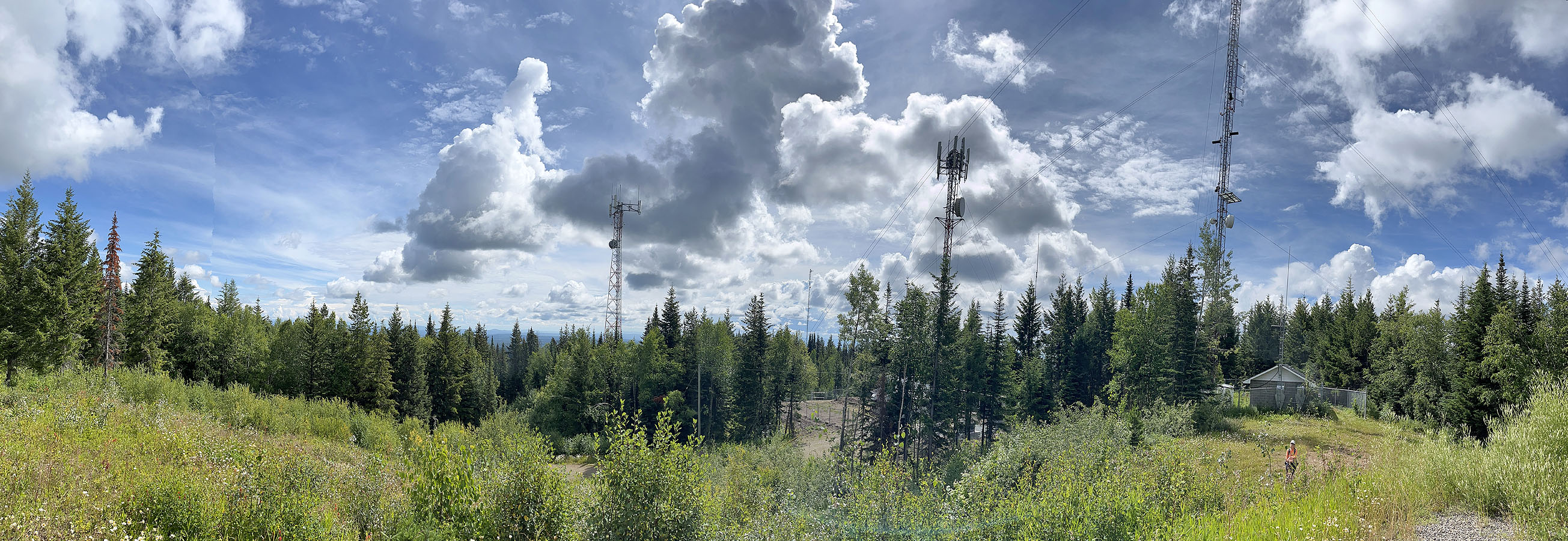
We continued up the road to a small bump with a little building and a picnic table: the summit. With my back to the building, I took the panorama shown above. But trees surrounded the summit, and there were no views whatsoever. We explored a few clearings around the summit but saw only dense forest. Perhaps there were views at one time, and the trees are taller now and block everything. It wouldn’t be the first time I’ve encountered this situation. We walked back on the road. While there may be no views, it is an easy mountain to bag.
 Starting up the road
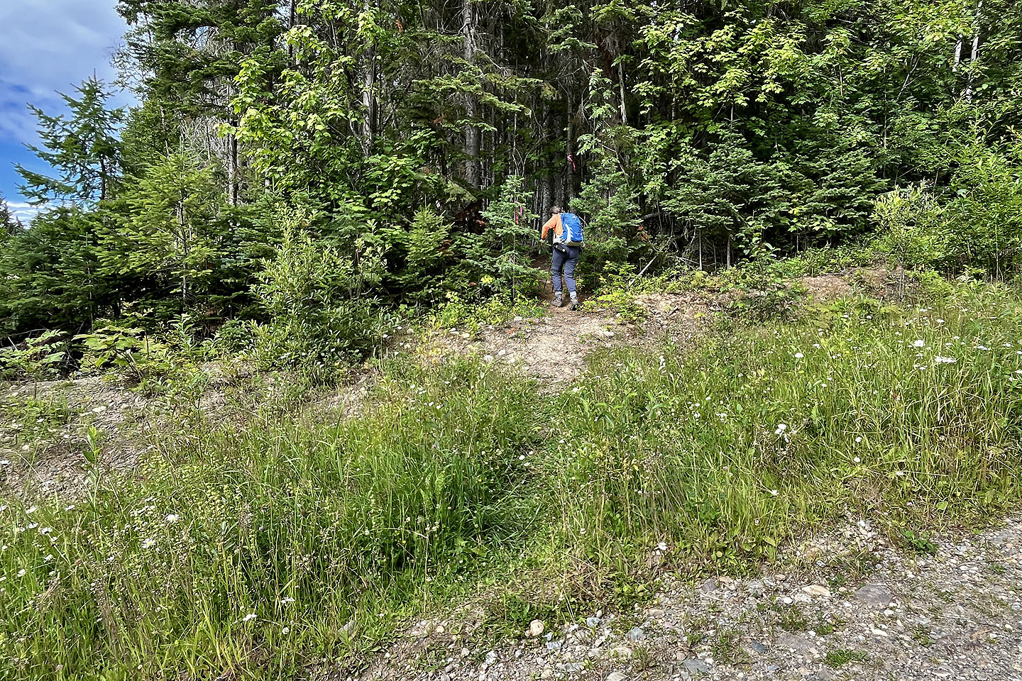
 The trail is at the end of the clearing, on the left
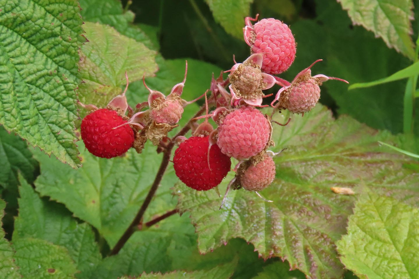 I nibbled on thimbleberries that were along the road
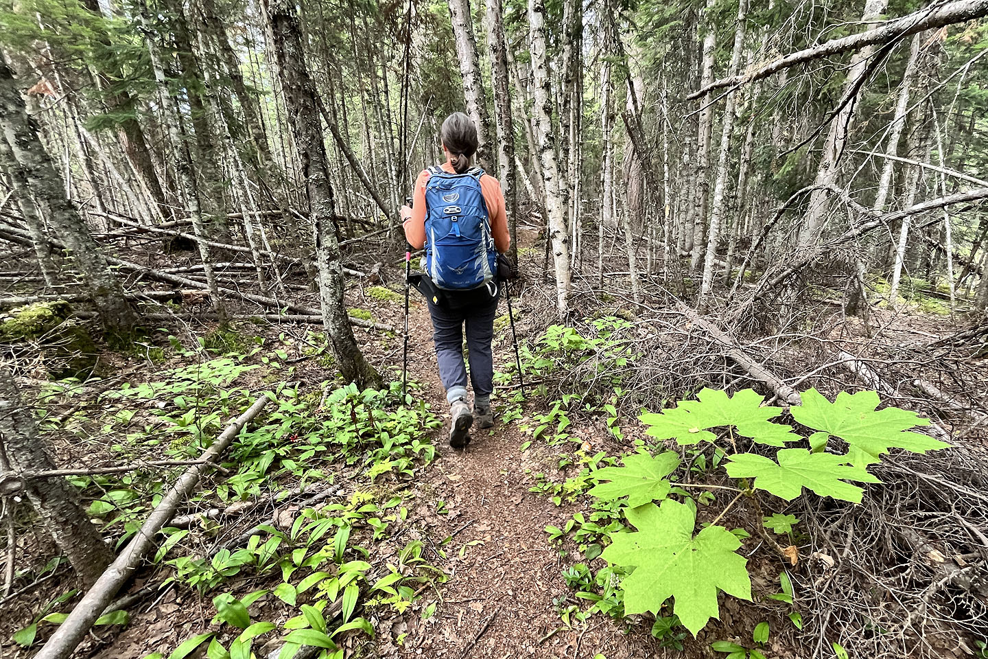
 Starting up the trail
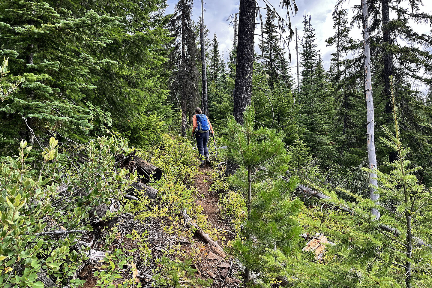
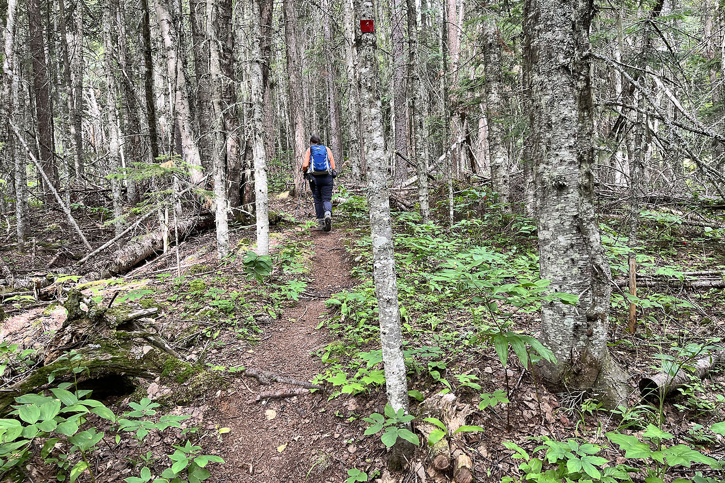 We followed the trail easily up the mountain
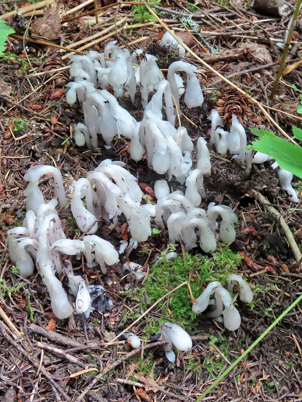
Ghost pipe or Indian pipe, a parasitic plant that lacks chlorophyll
 A plant with leaves over a foot wide caught my eye
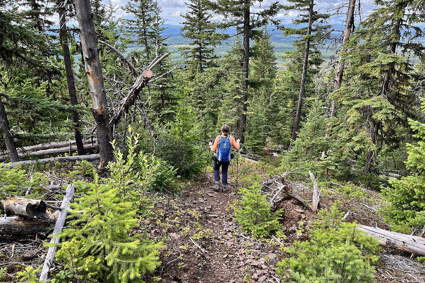 Before reaching the cave, the trail drops down
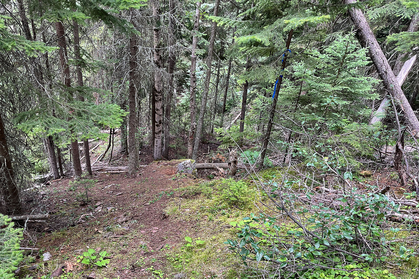 The cave is below the blue flagging on the right
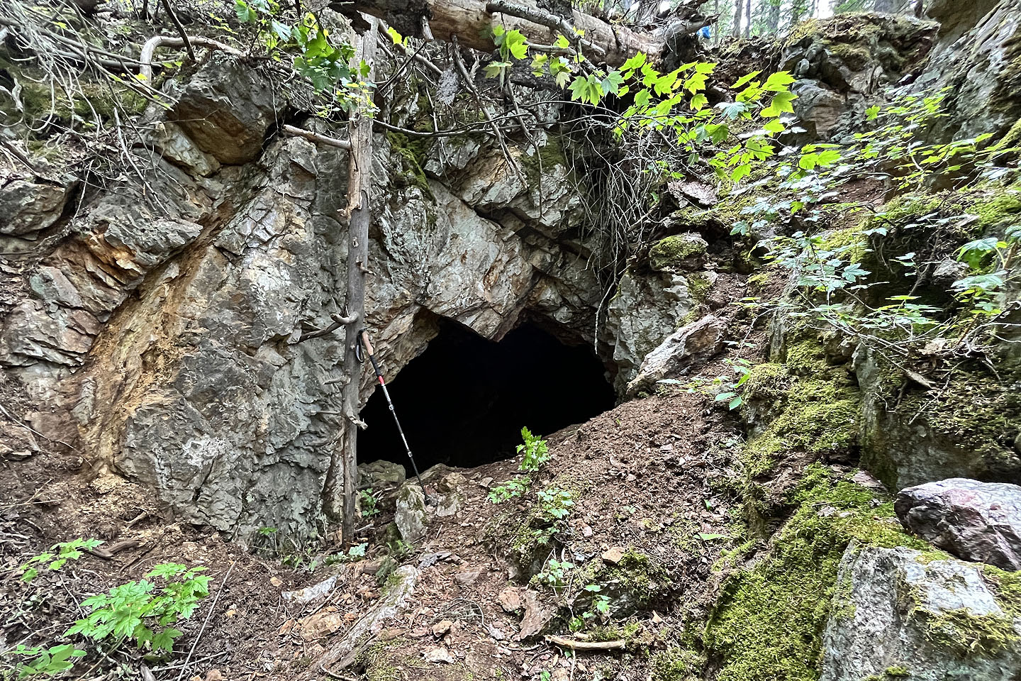 The cave entrance is small, but I was able to stand inside (mouse over to look out of the cave)
 Back on the main trail
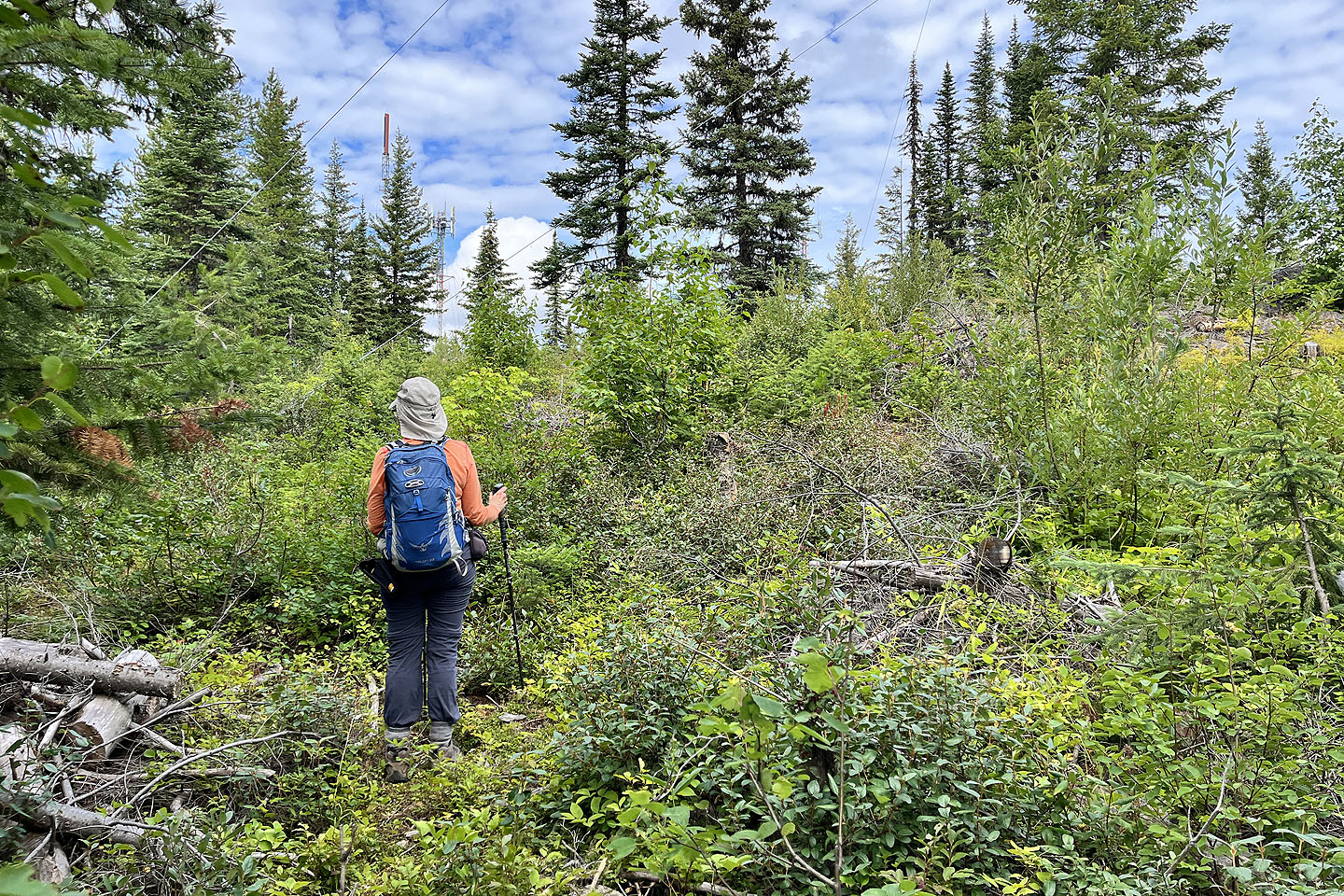 Eventually we left the trail and went straight up
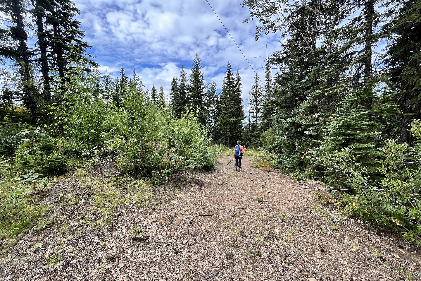 We made our way to the road
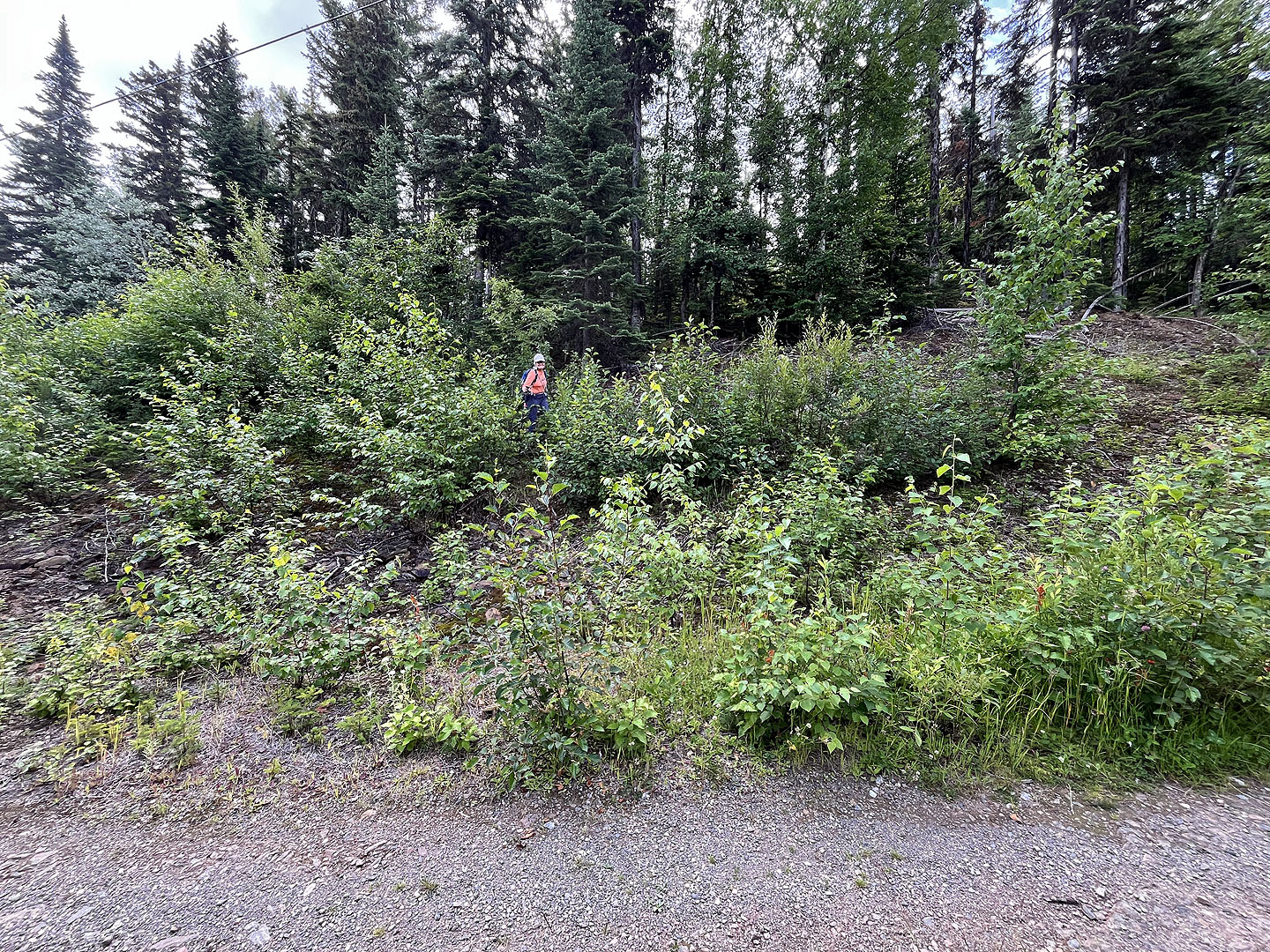 To avoid a long switchback, we took a shortcut
 Continuing up the road
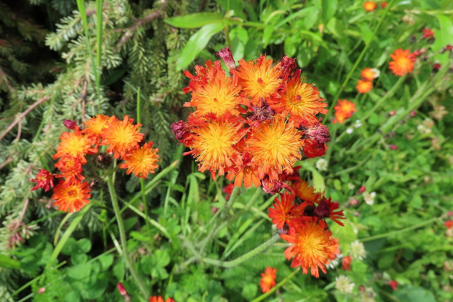 Orange hawkweed lined the road
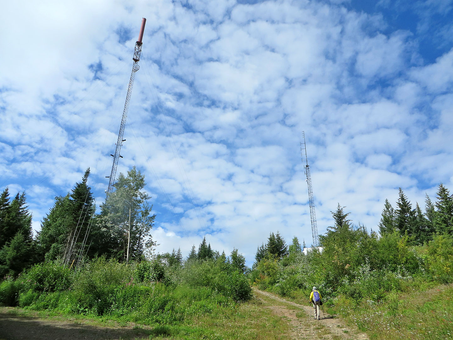 A white building sits on the summit
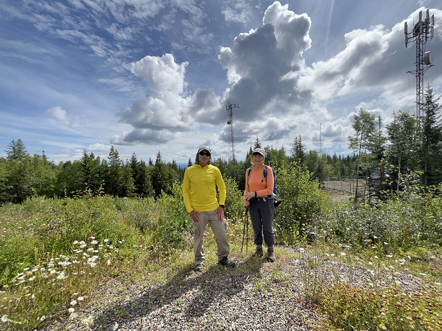 Standing on the summit