bobspirko.ca | Home | Canada Trips | US Trips | Hiking | Snowshoeing | MAP | About
Cougar Mountain
Kananaskis, Alberta
July 17, 2004
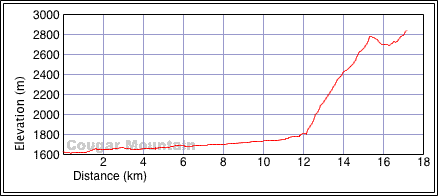
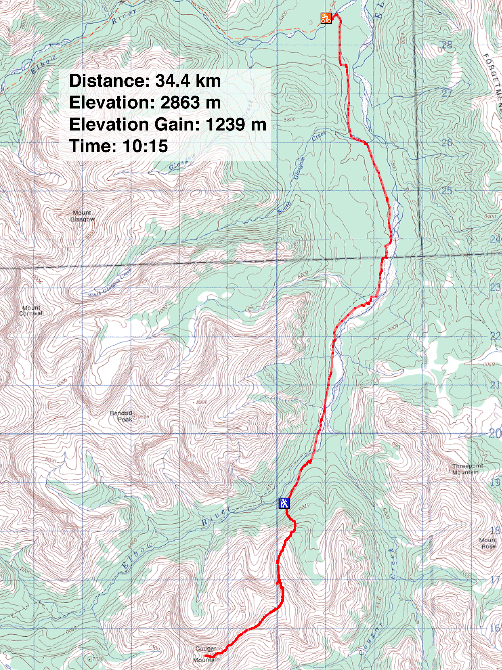
Distance: 34.4 km (21.4 mi)
Cumulative Elevation Gain: 1448 m (4751 ft)
Ascending Cougar Mountain was straightforward. After cycling up the road along Little Elbow River for 12.1 km, Dinah and I stashed our bikes just after a high point after the bridge. After climbing a steep forested slope, we found ourselves on a open slope by a rain gauge. We trudged up to gain the ridge. From there, it was an easy scramble to the false summit.
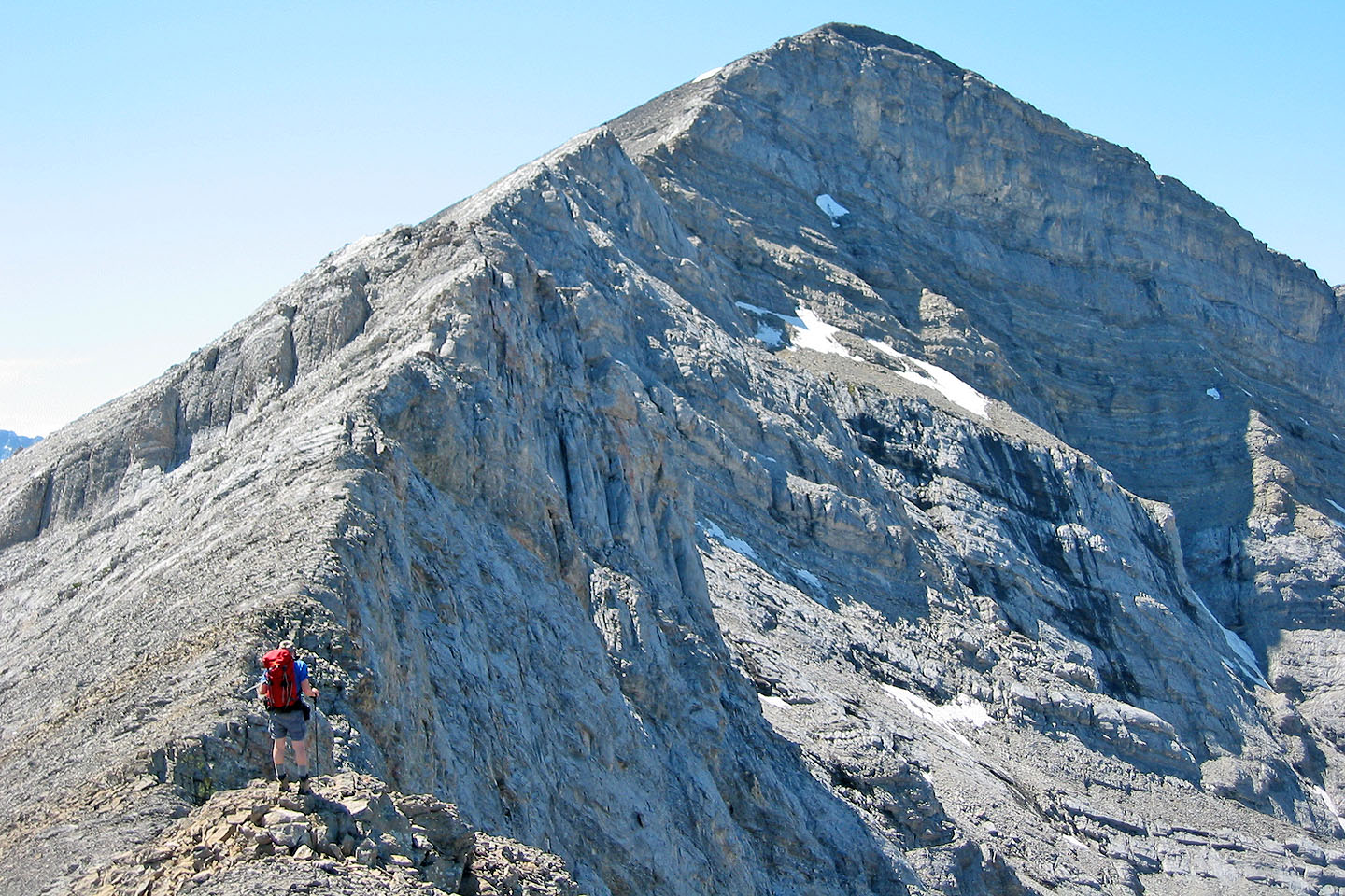
From the false summit, the true summit appeared disappointingly far away, especially when taking in the elevation loss. However, we found some good scrambling before reaching the true summit.
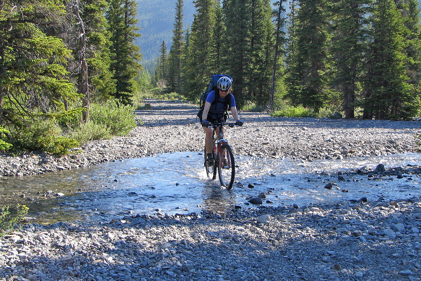
Biking the Little Elbow Trail
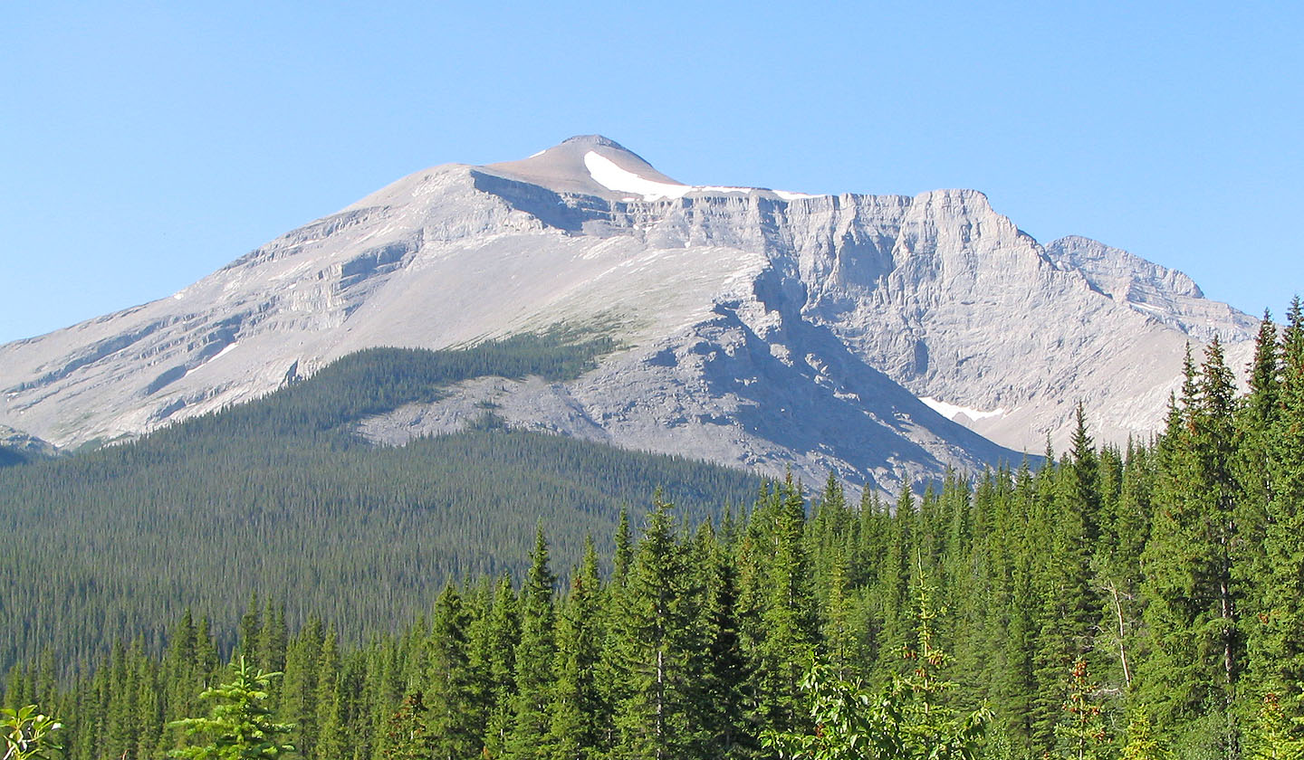
The false summit of Cougar Mountain seen from the trail
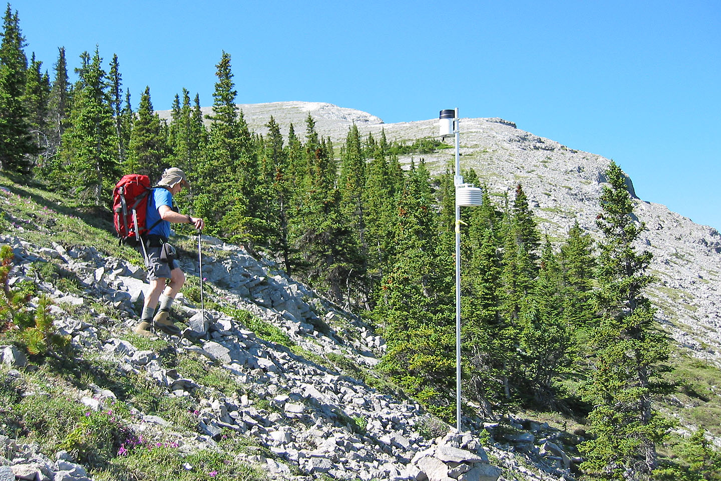
We passed a rain gauge on the lower slopes
Heading to the ridge and to the false summit
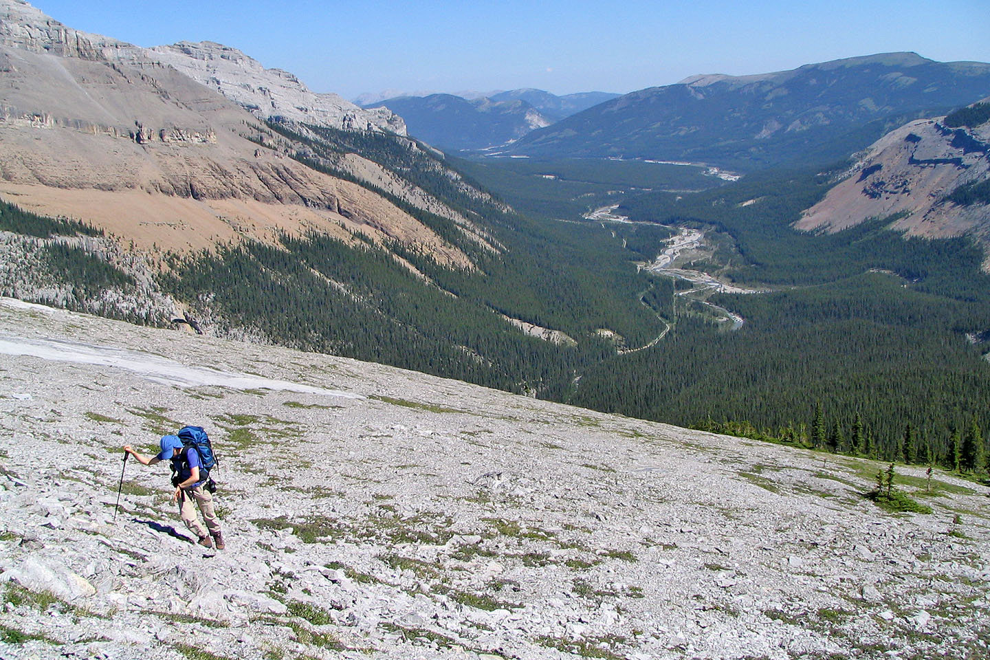
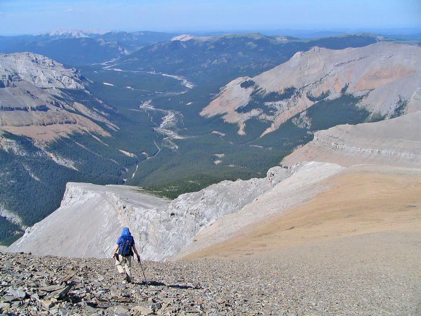
Looking back at the Little Elbow River Valley
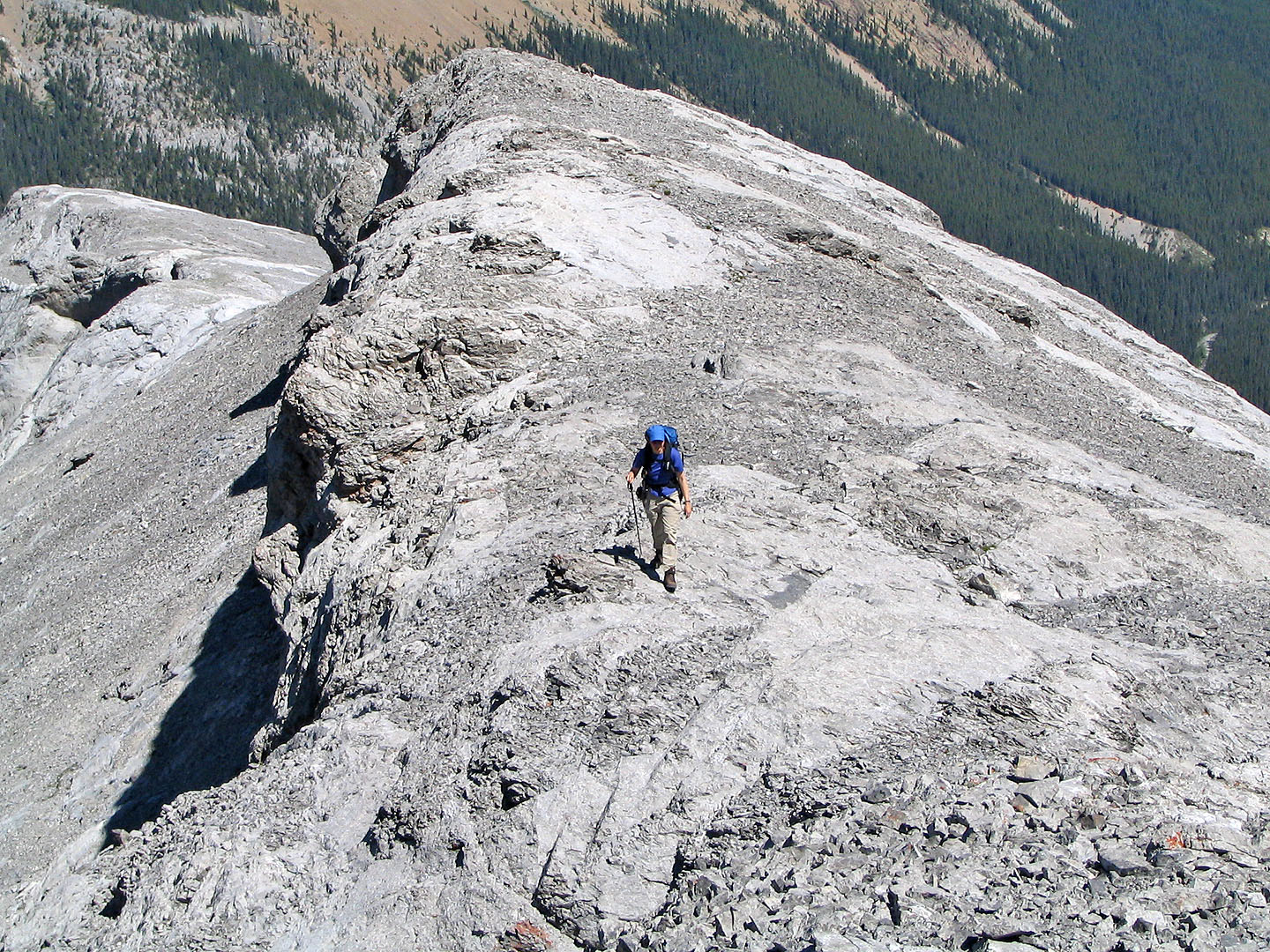
On the ridge crest
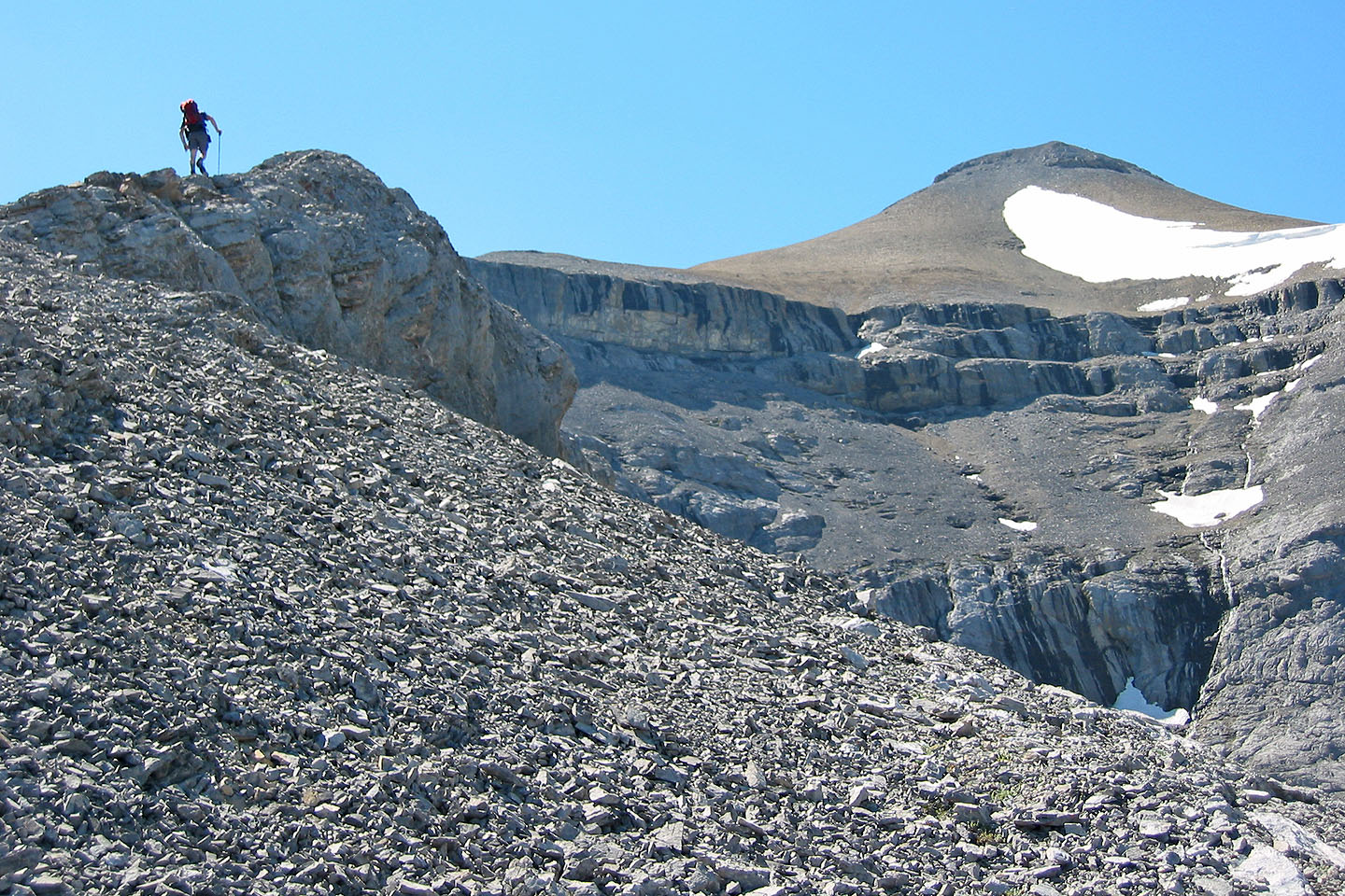
False summit ahead
Easy scrambling here (Dinah is in lower left)
Looking back
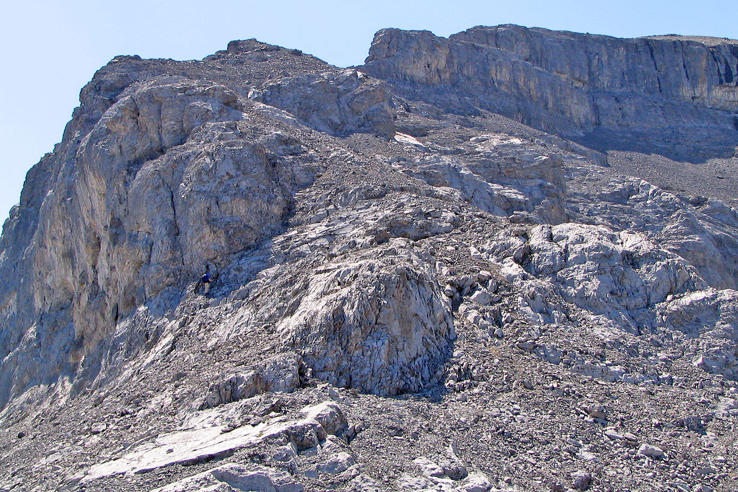
At the base of the buttress, we went left on a goat track
There's a bit of easy scrambling around the corner
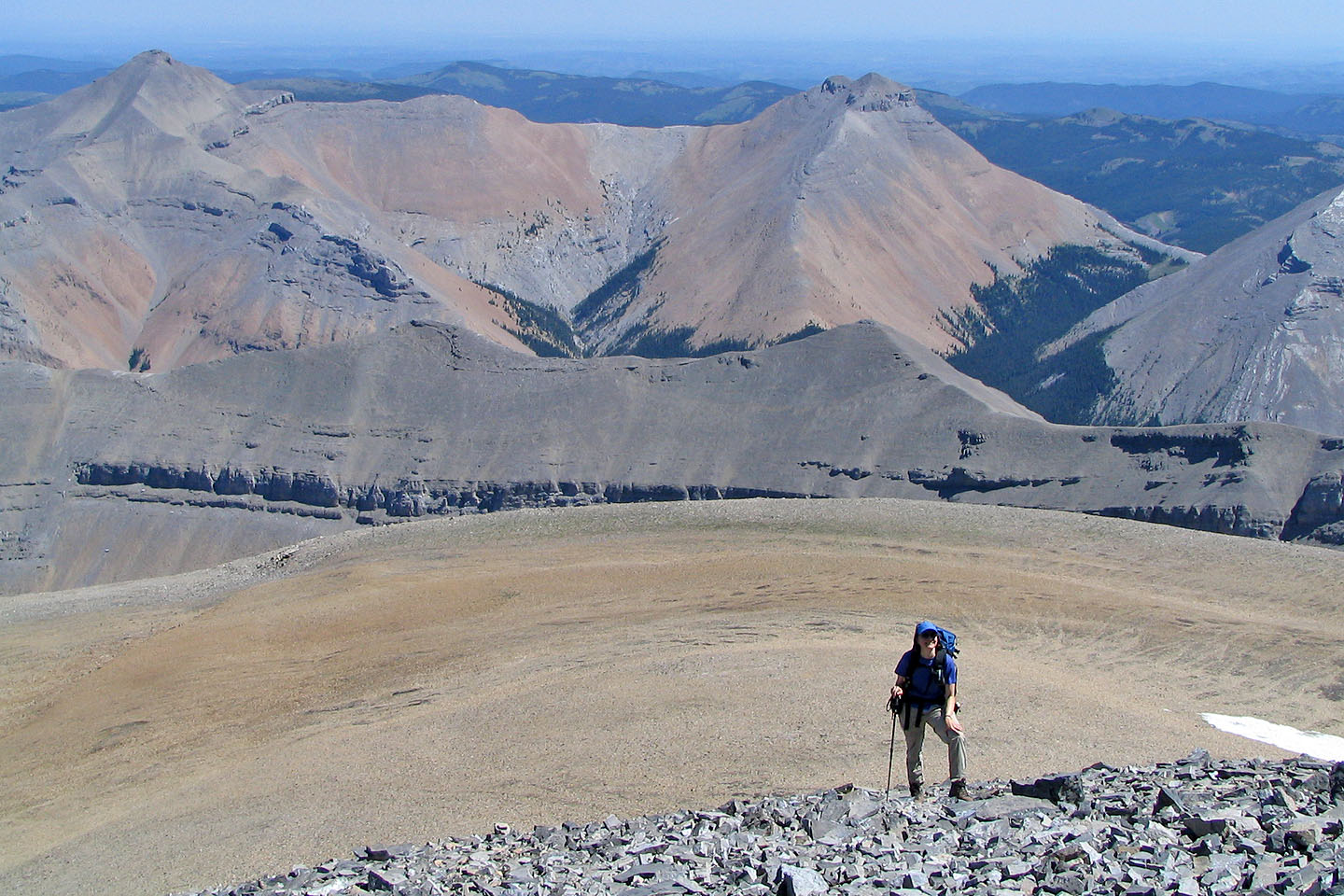
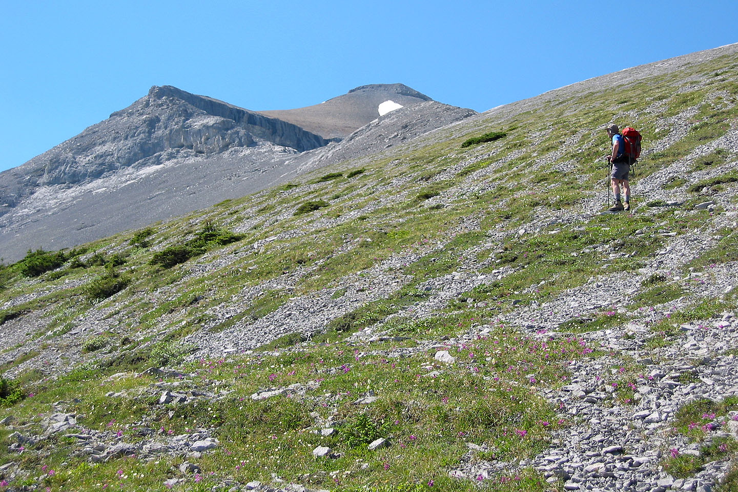
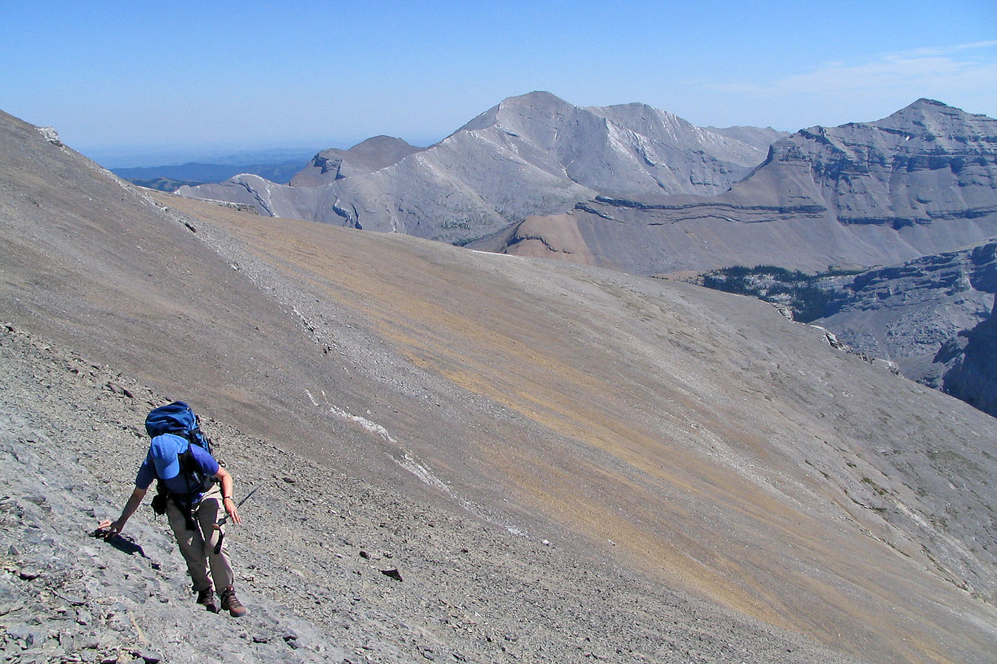
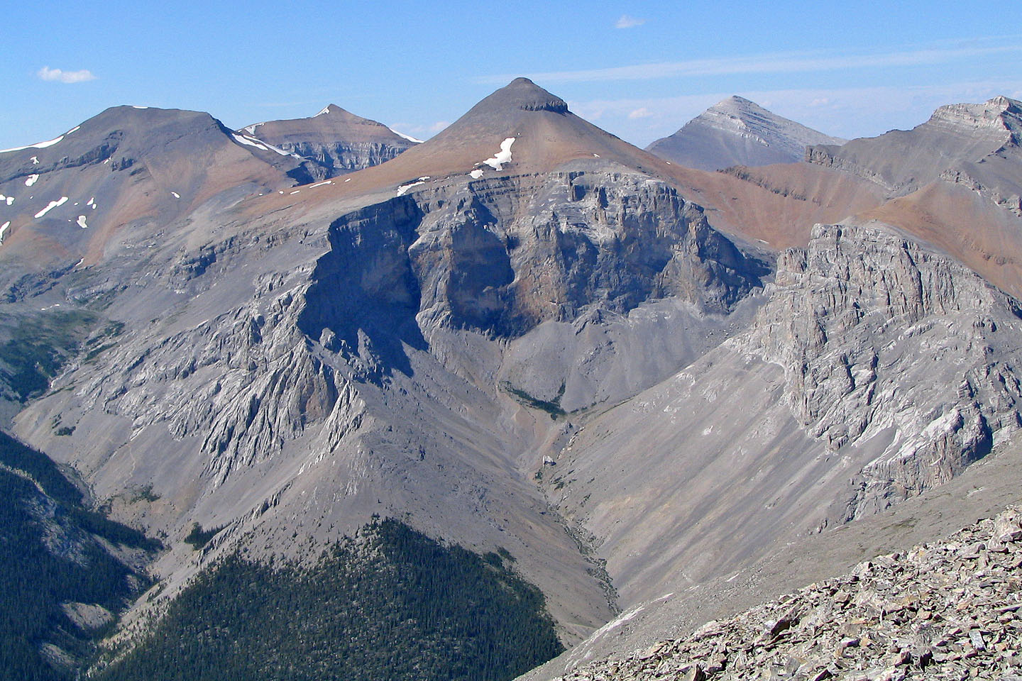
Before reaching the top of the false summit, we trudged up a lot of scree. Threepoint Mountain and Mount Rose
create a backdrop.
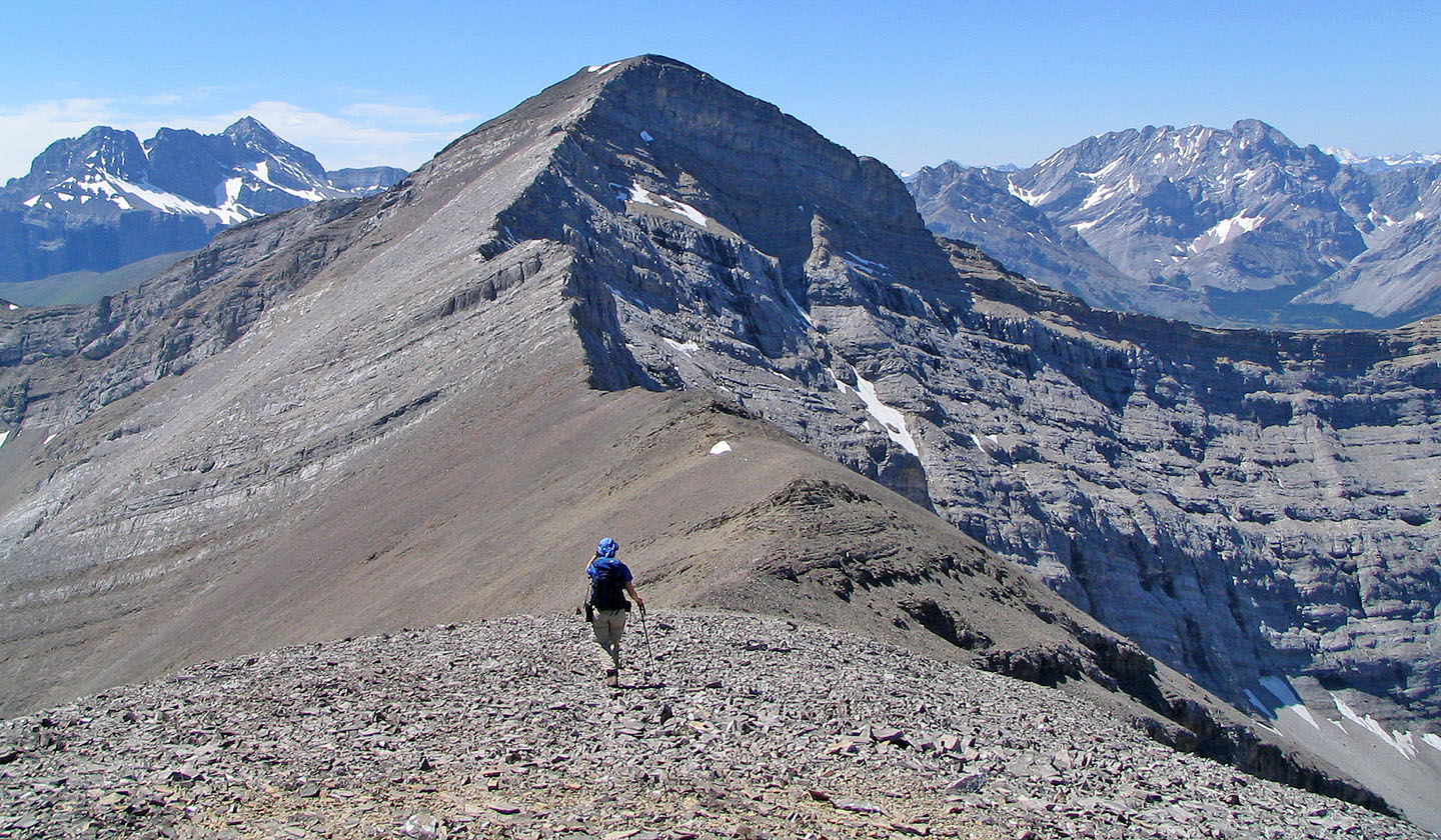
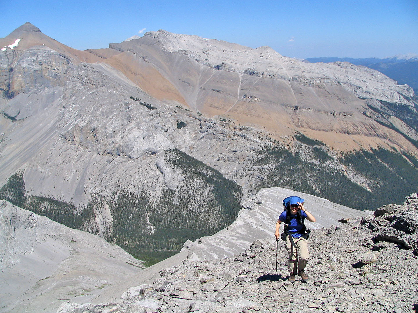
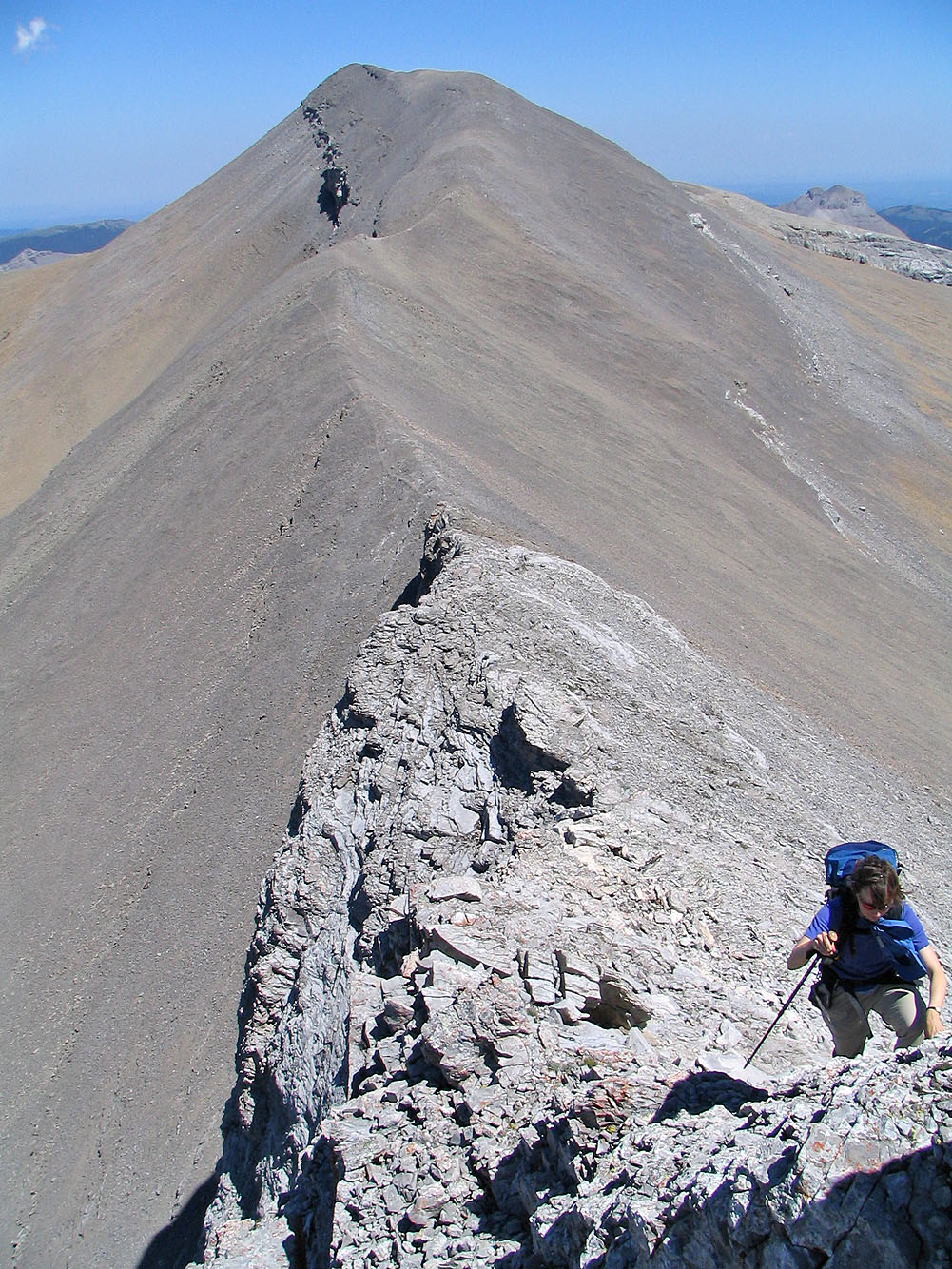
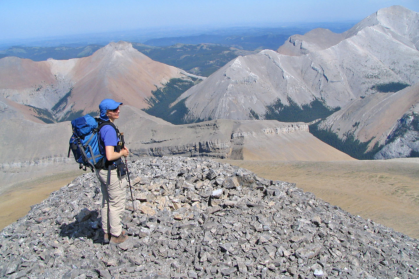
From the false summit, the true summit is still a long way off and you lose almost 100 m
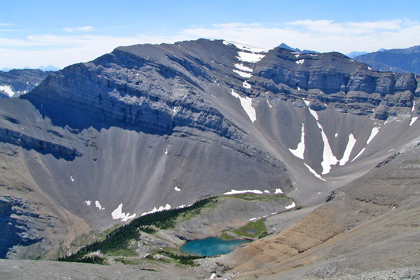
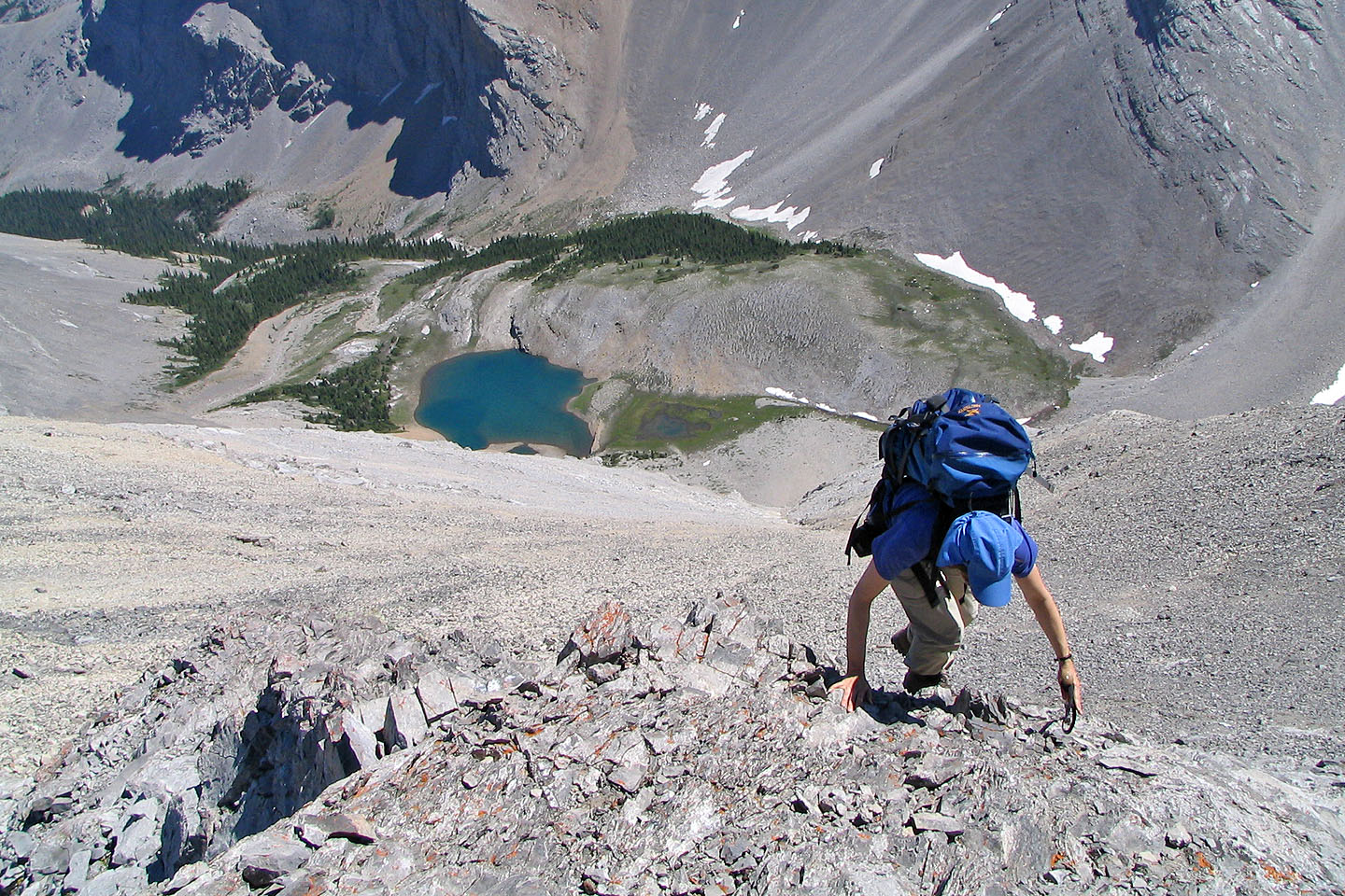
In the valley on our left is a tarn not shown on the map
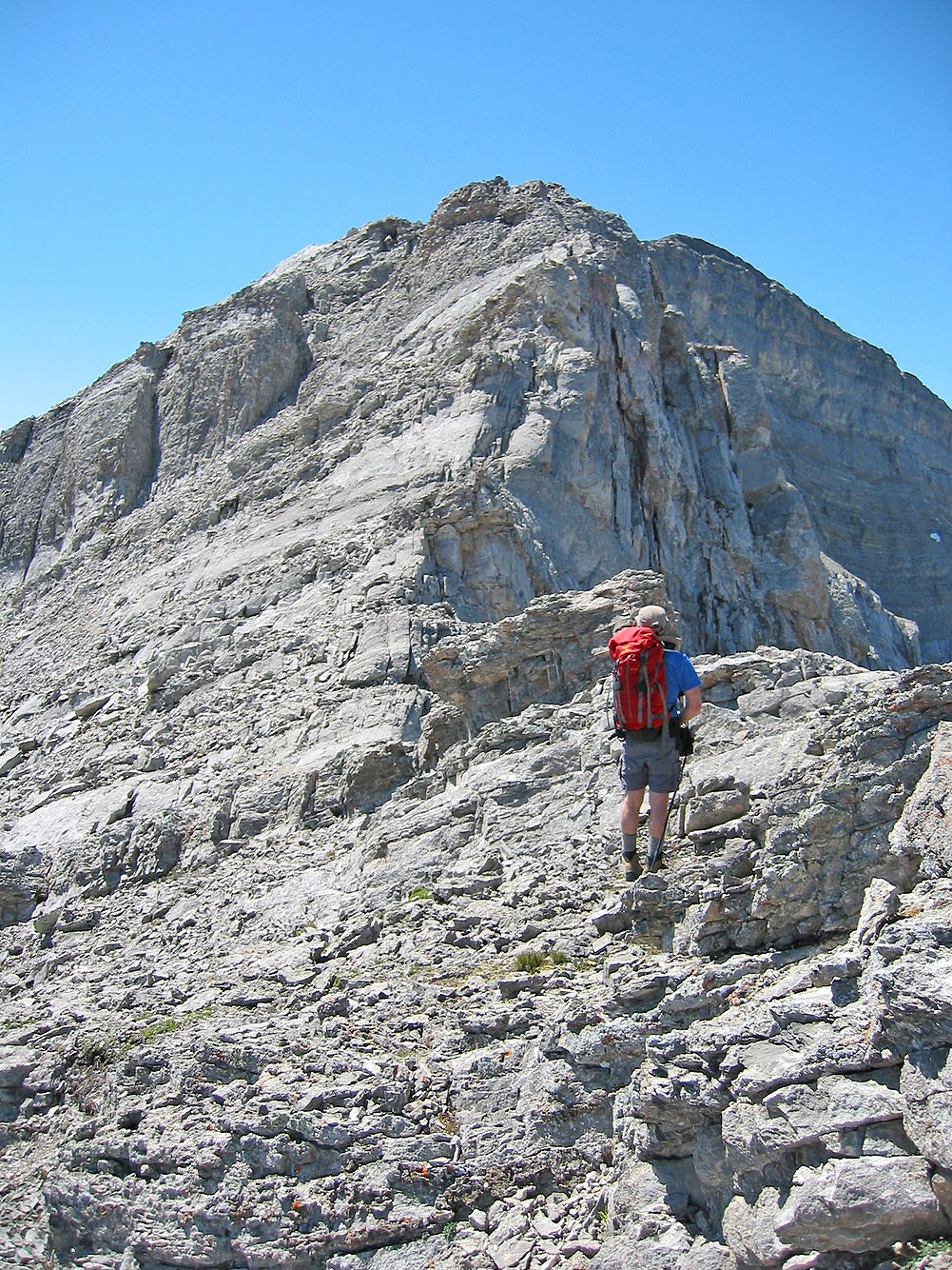
After losing elevation, we started ascending
Pondering our next move
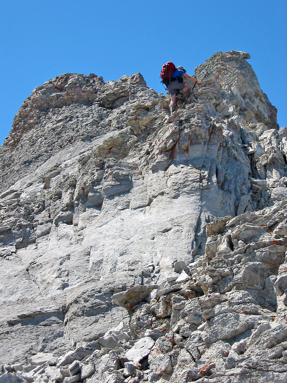
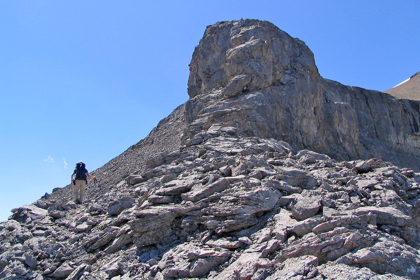
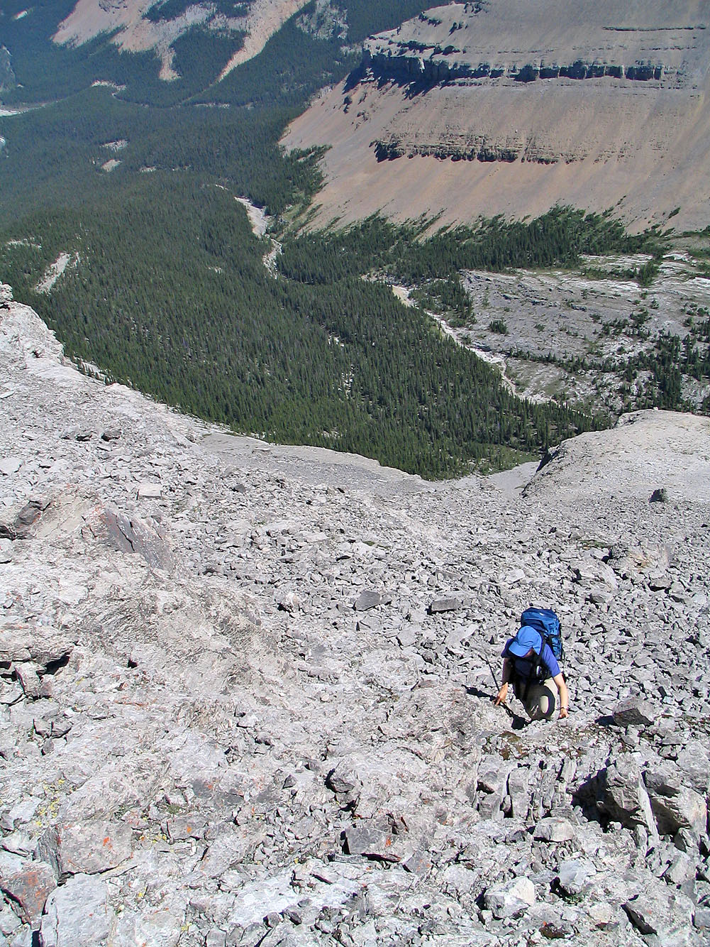
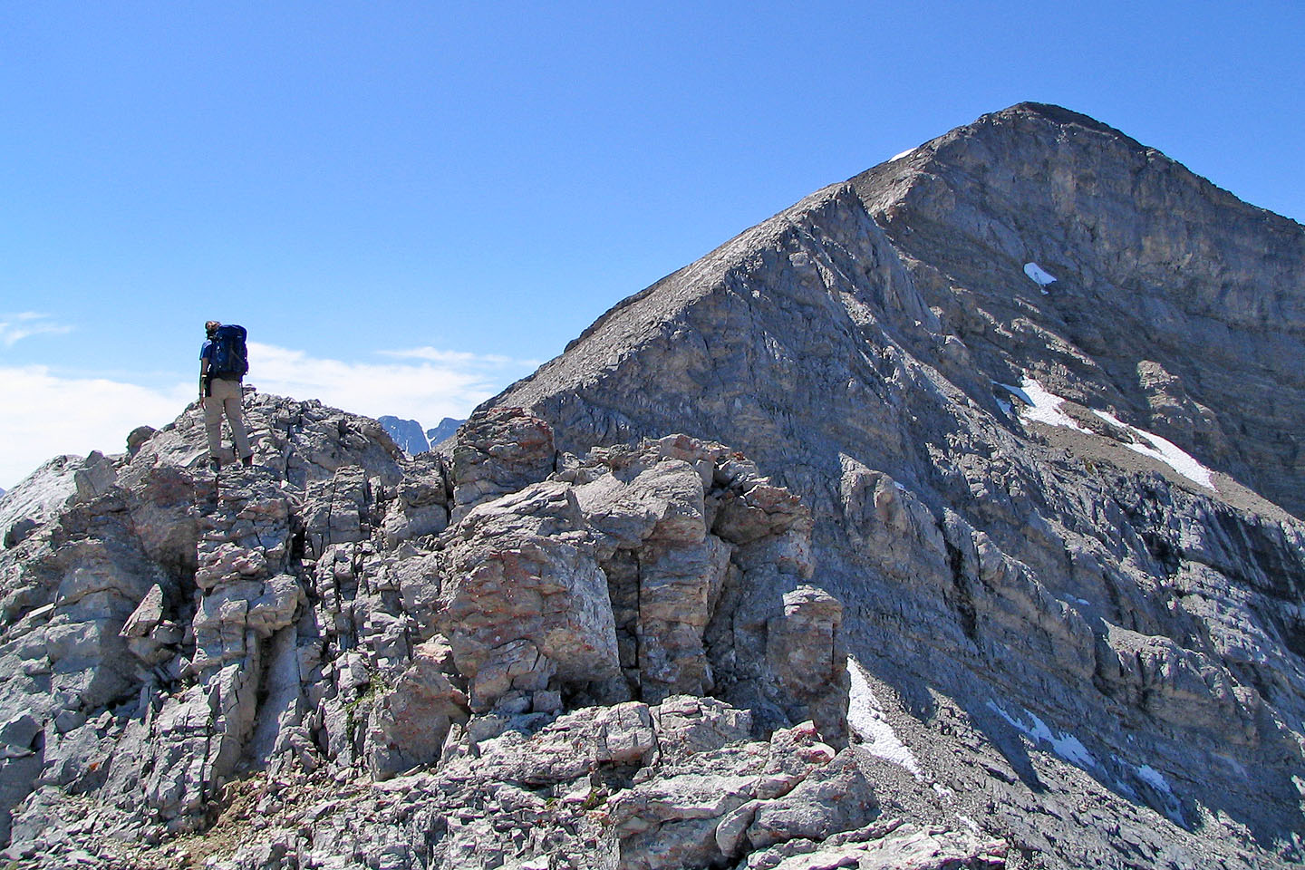
Some interesting scrambling along the way
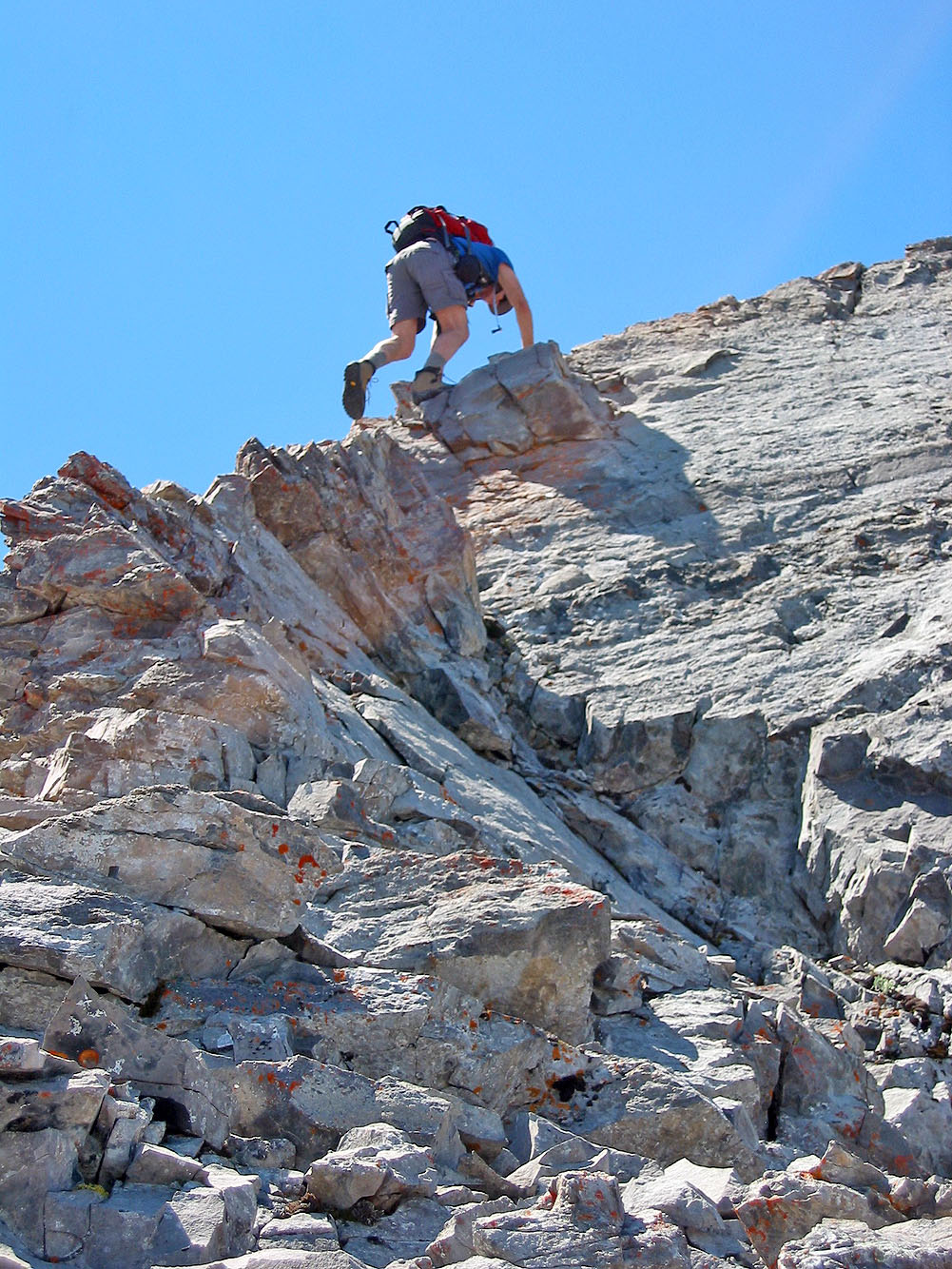
And more scrambling
When we couldn't stick to the ridge, we climbed below it
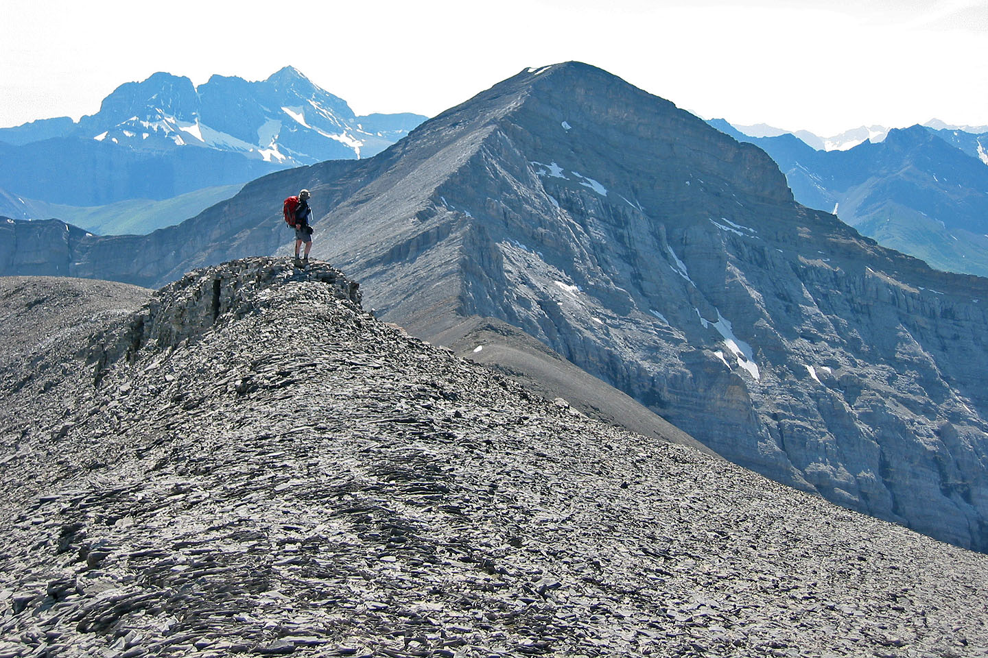
Looking back at the false summit
The summit still appears far off
More scrambling
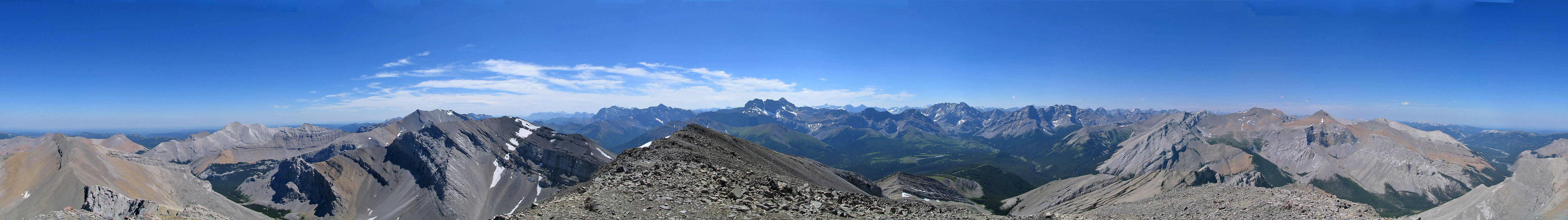
Outlaw Peak,
Mount Cornwall,
Banded Peak and
Mount Glasgow from the summit
 Dinah standing near the summit
Heading back down
A last look back at Cougar Mountain from the false summit
82 J/10 Mount Rae