bobspirko.ca | Home | Canada Trips | US Trips | Hiking | Snowshoeing | MAP | About
Mount Rundle
Banff National Park, Alberta
July 5, 2005
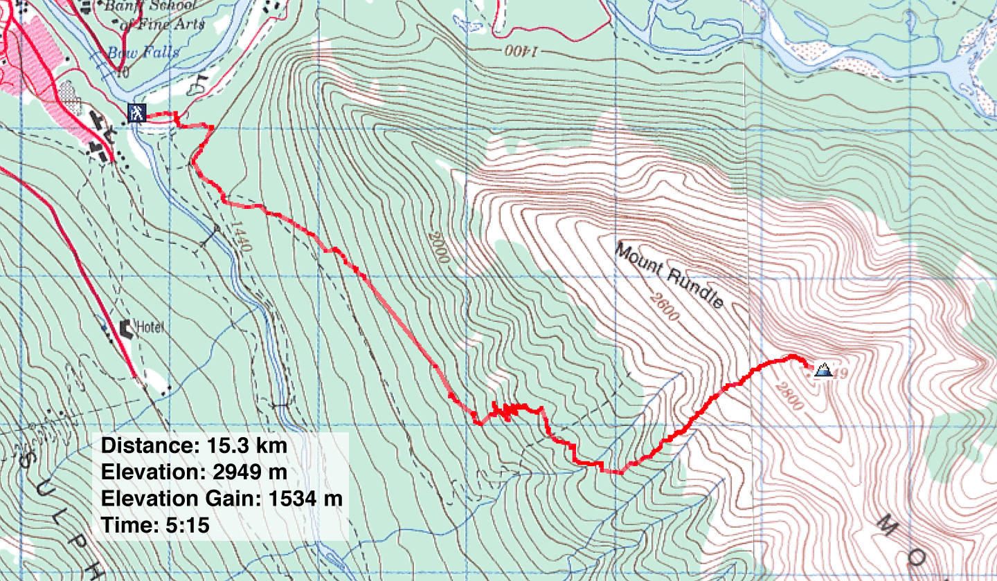
Distance: 15.3 km (9.5 mi)
Cumulative Elevation Gain: 1700 m (5577 ft)
Mount Rundle is a long but pleasant, easy scramble. The trail starts at Bow and runs by a golf course before gently climbing through the forest. After climbing a series of switchback and crossing a major gully, the trail ascends the Dragon's Back almost directly below the summit. Then it covers scree and rocks to the summit.
It's best done in the early or late
season when there are few people. My first attempts with Dinah in April 2002, June 2002, and December 2004 fell short of the summit because of snow, but I was successful
with a solo ascent at the beginning of July. Then, since
I had been up the mountain thrice, I concentrated on getting
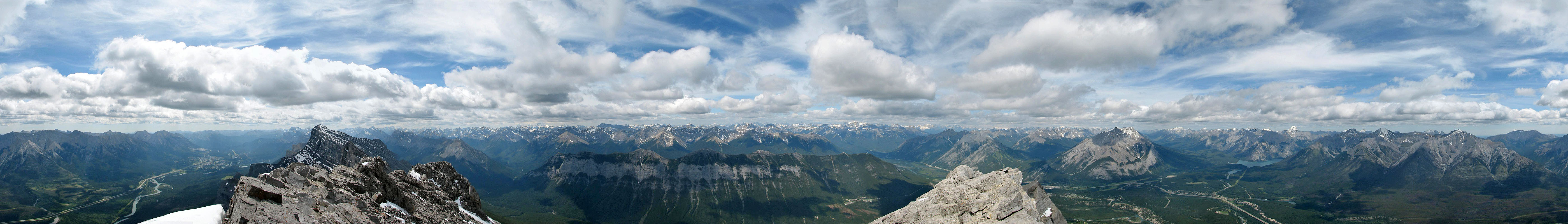
up and down quickly. But I wished I had taken my time and stopped to take photos (I did, however, take a summit panorama). But drawing from from my attempts with Dinah, I was able to add some photos here. I should climb again and do a proper trip report!
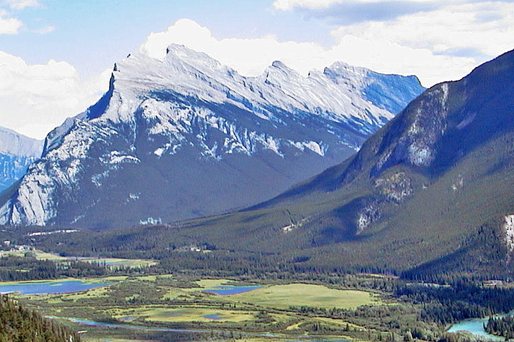
Mount Rundle seen from Mount
Edith
Still lots of snow on the lowers slopes (April 2002)
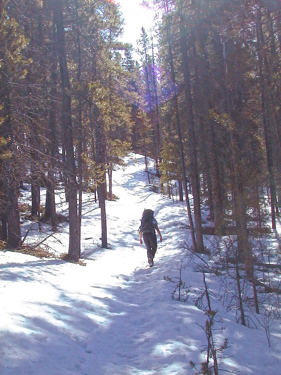
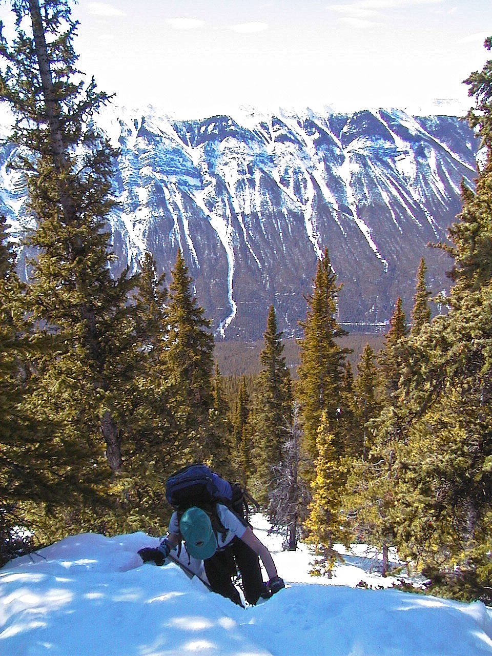
On the trail (2004)
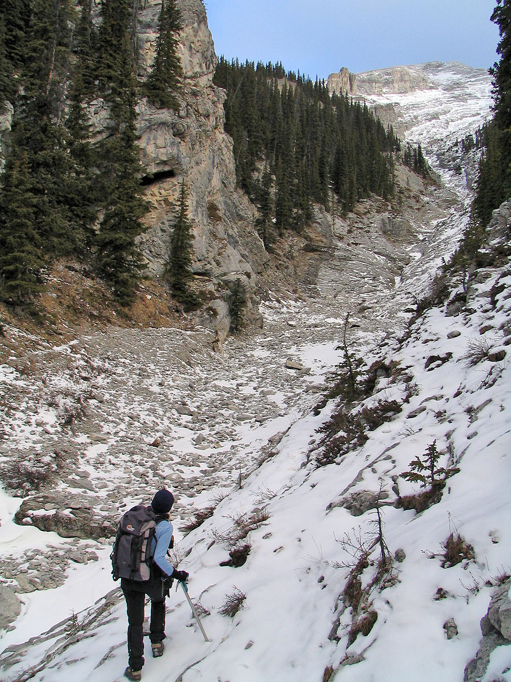
The large gully which some parties have mistakenly ascended (2004)
Dinah struggles in the snow (April 2004)
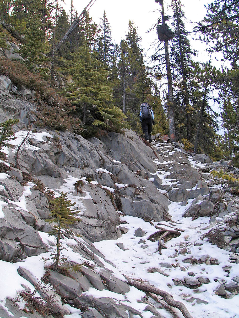
Looking back (2004)
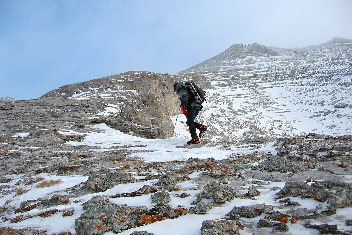
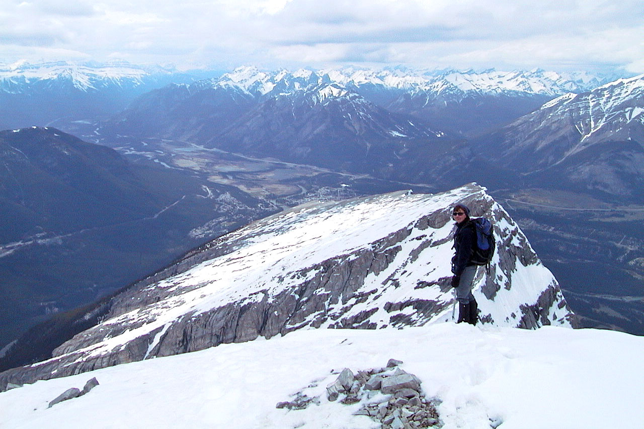
Starting up the Dragon's Back
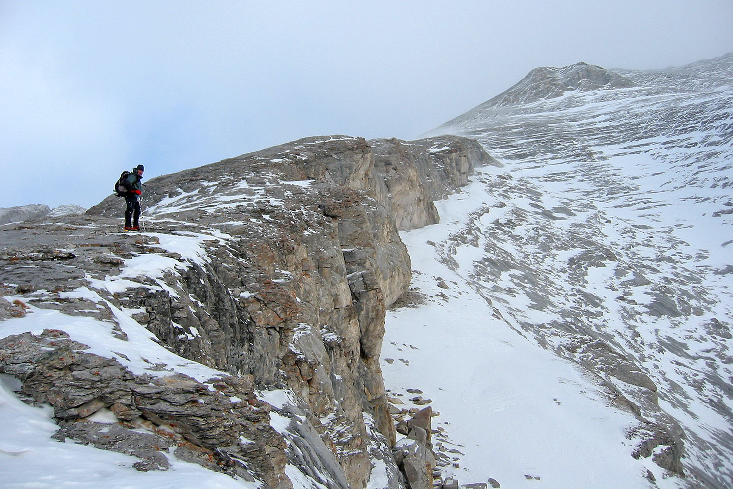
On Dragon's Back(2004)
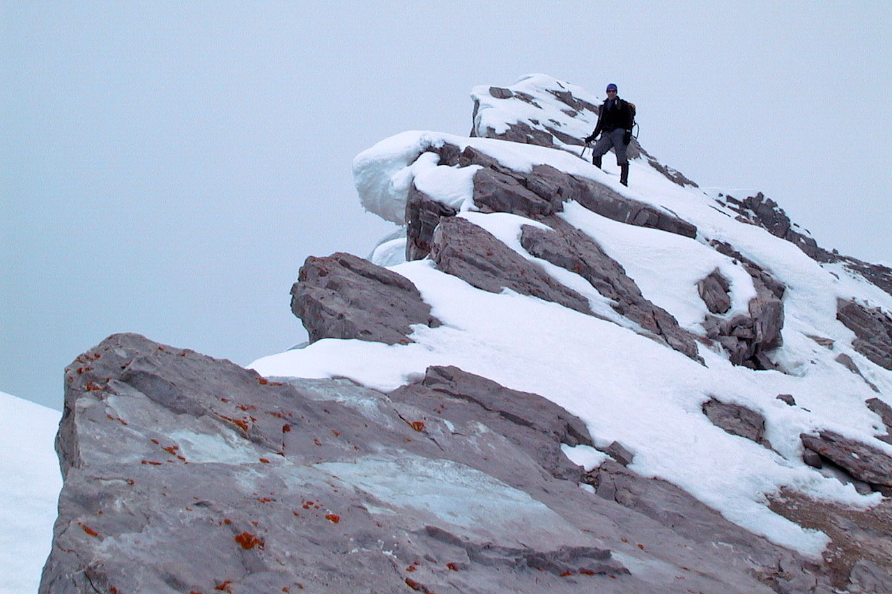
Looking down the Dragon Back (2002)
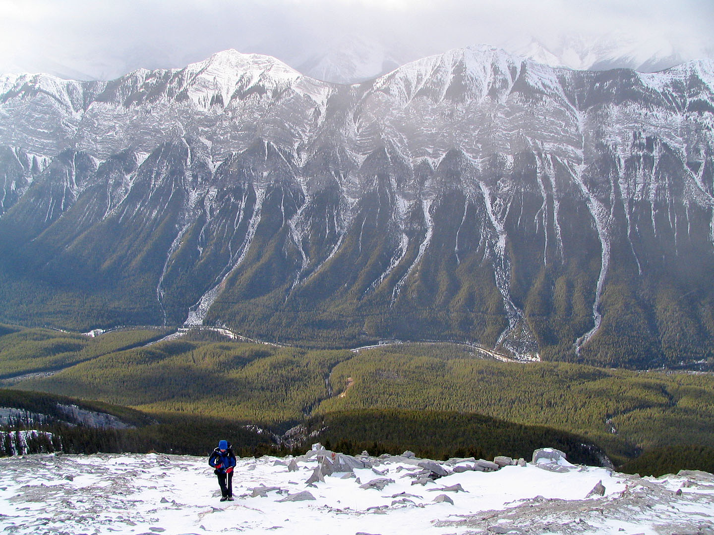
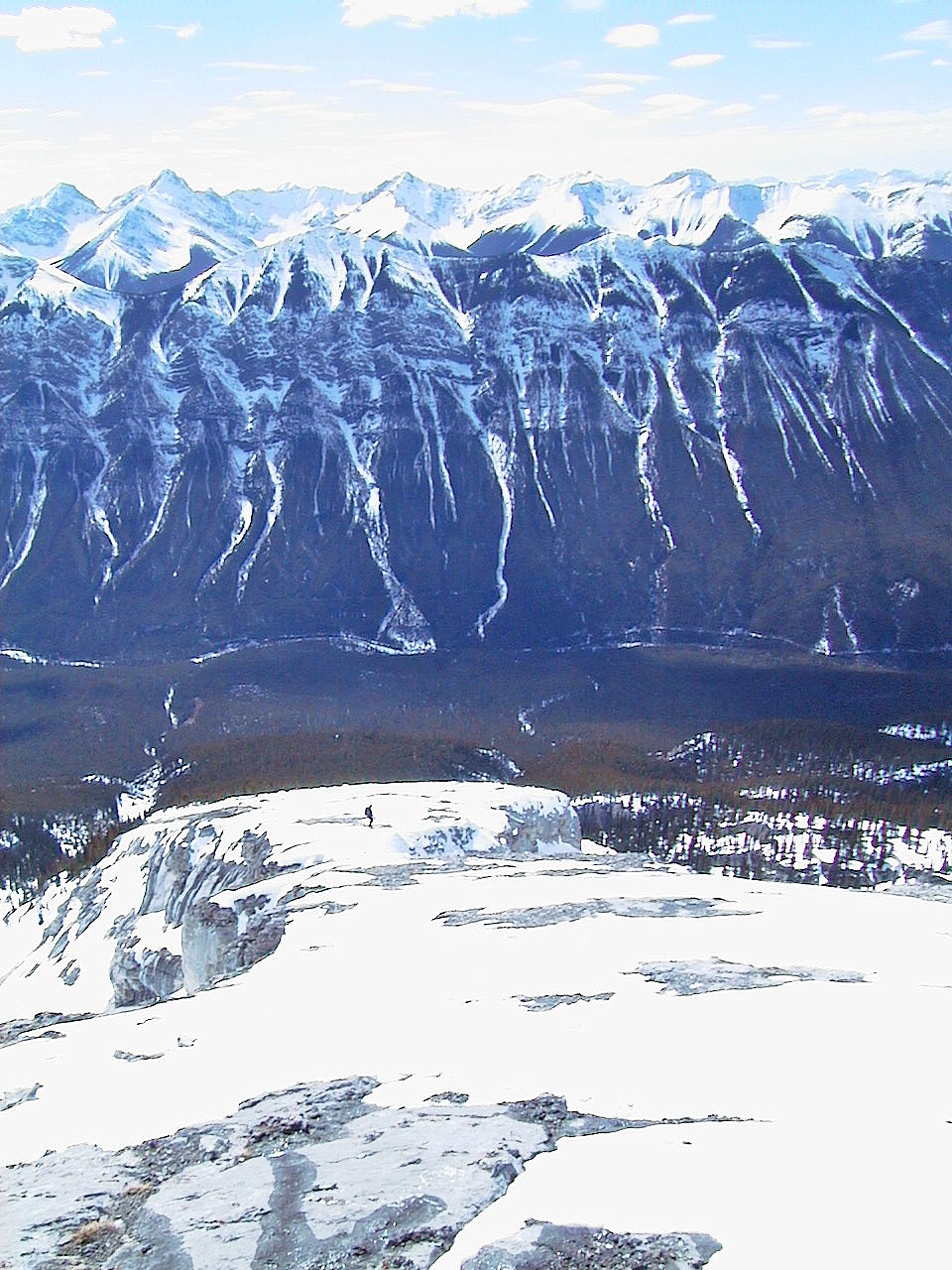
Sulphur Mountain behind us (June 2002)
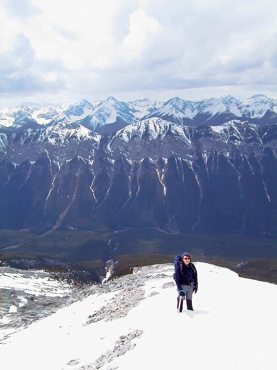
Close to the summit (June 2002)
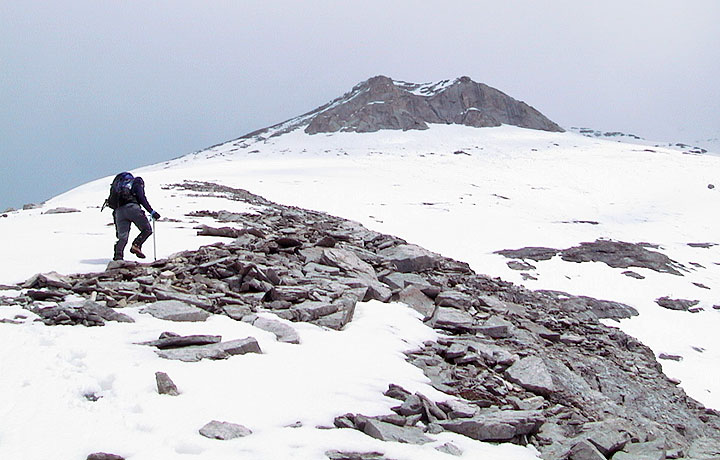
Looking back (June 2002)
We turned back just 30 m below the summit, because we were slipping on the snow
on rock slabs (June 2002)
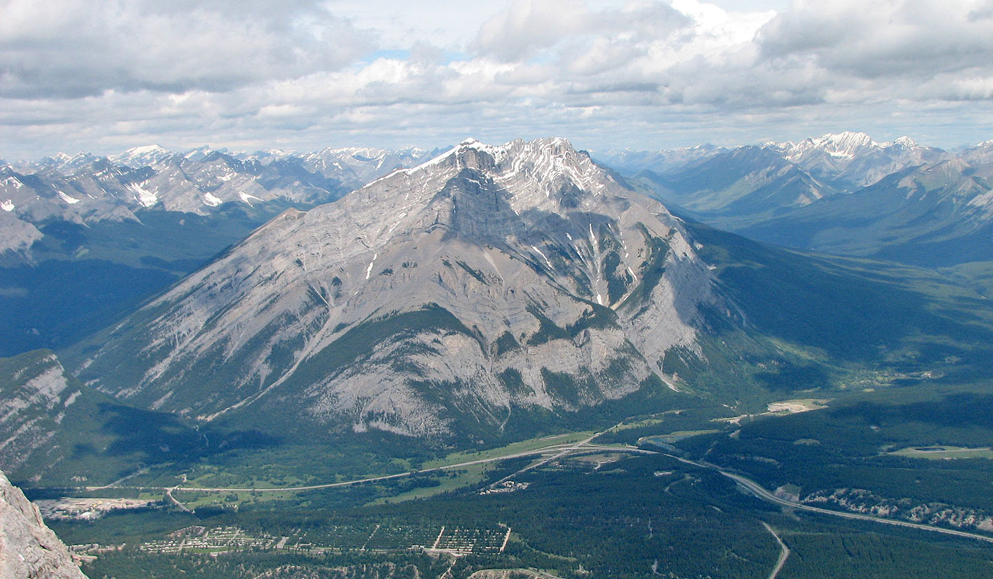 Cascade Mountain from the summit
 82 O/4 Banff